

- Date
- 2020-07-28
- Concepts
- cartographygeographyenvironment
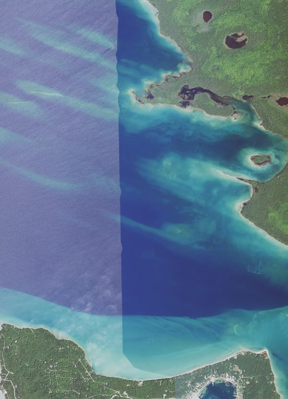
One tile of the 2020 USGS/NAIP aerial survey, flown 28 July 2020, at the south-western of Garden Island in St. James Township, Charlevoix County.
Garden Island’s southern shore and its shoals occupy the upper right. The lower edge takes in the settled shoreline and harbour of St. James on Beaver Island, which the tile’s name does not mention. A vertical seam between two flight lines runs down the frame.
These are flight tiles, not a portrait of the island. The uploader’s title names the quarter each tile touches; what fills the frame varies from almost all water to a substantial stretch of shore, so each is described from the image itself.
Sources
- USGS EROS product; identification is the agency's own.images · commons · map · aerial_view_of_southwestern_garden_island_in_st_james_township_charlevoix_county_michigan_2020

Cite this article
Beaver Island Archive, “NAIP aerial tile at the south-western of Garden Island, 2020”, https://beaverislandarchive.org/documents/aerial-garden-island-southwestern-2020/, accessed [date], citing Wikimedia Commons, Garden Island from the air, south-western quarter, 2020.
BibTeX for “NAIP aerial tile at the south-western of Garden Island, 2020”RIS for “NAIP aerial tile at the south-western of Garden Island, 2020”