

- Date
- 1999
- Eras
- Modern era
- Concepts
- geologyhistoriography
- Within
- Beaver Island archipelago
Summary
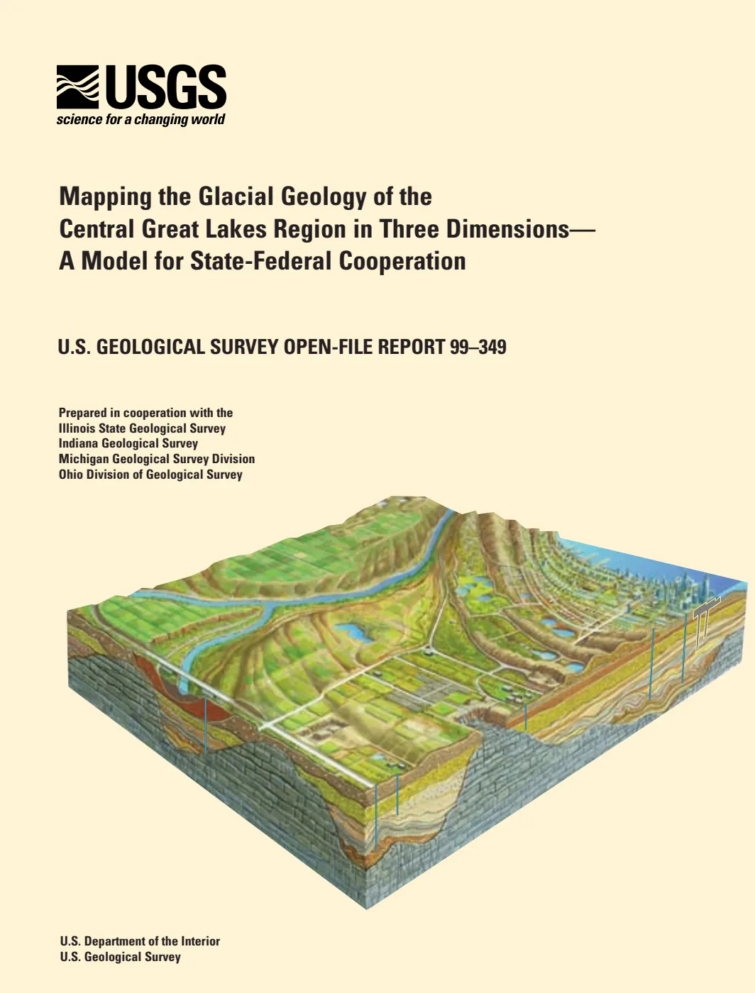
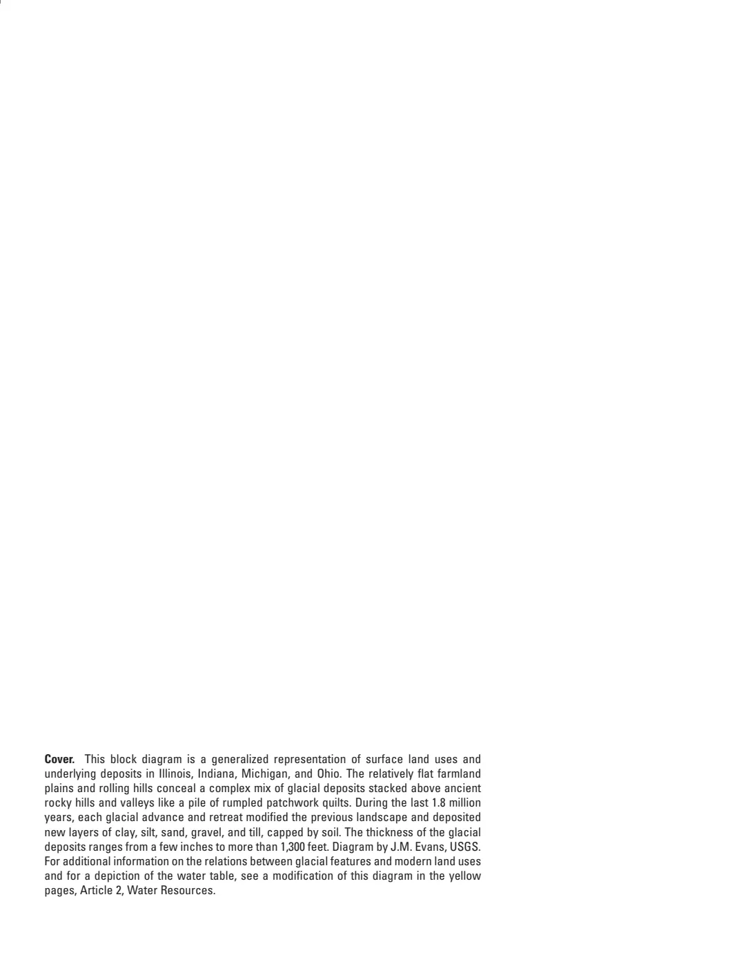
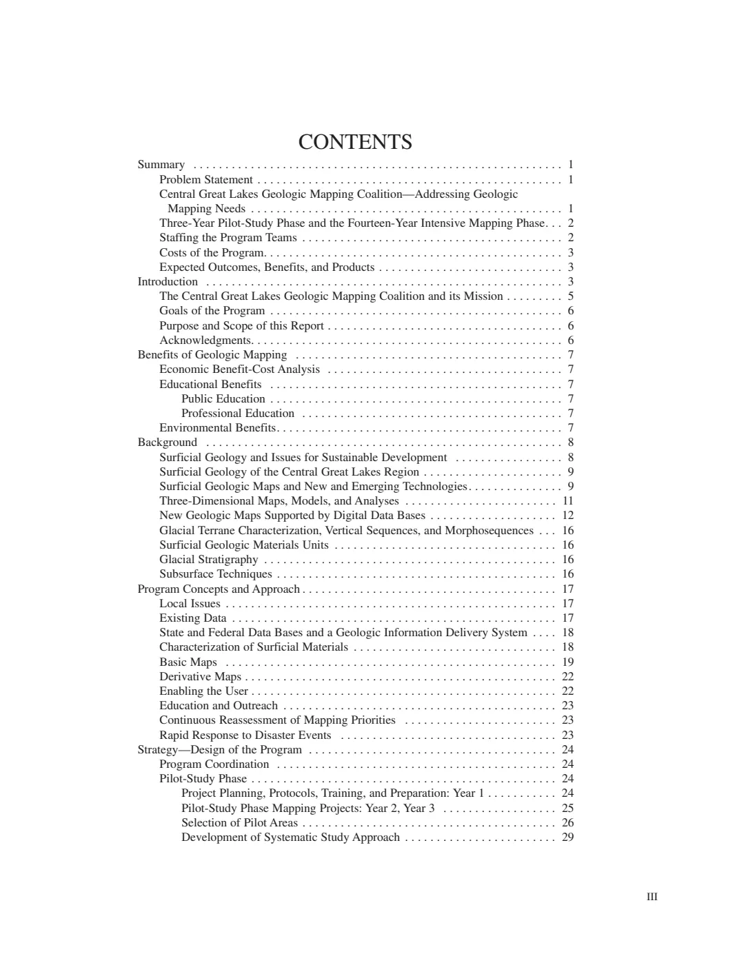
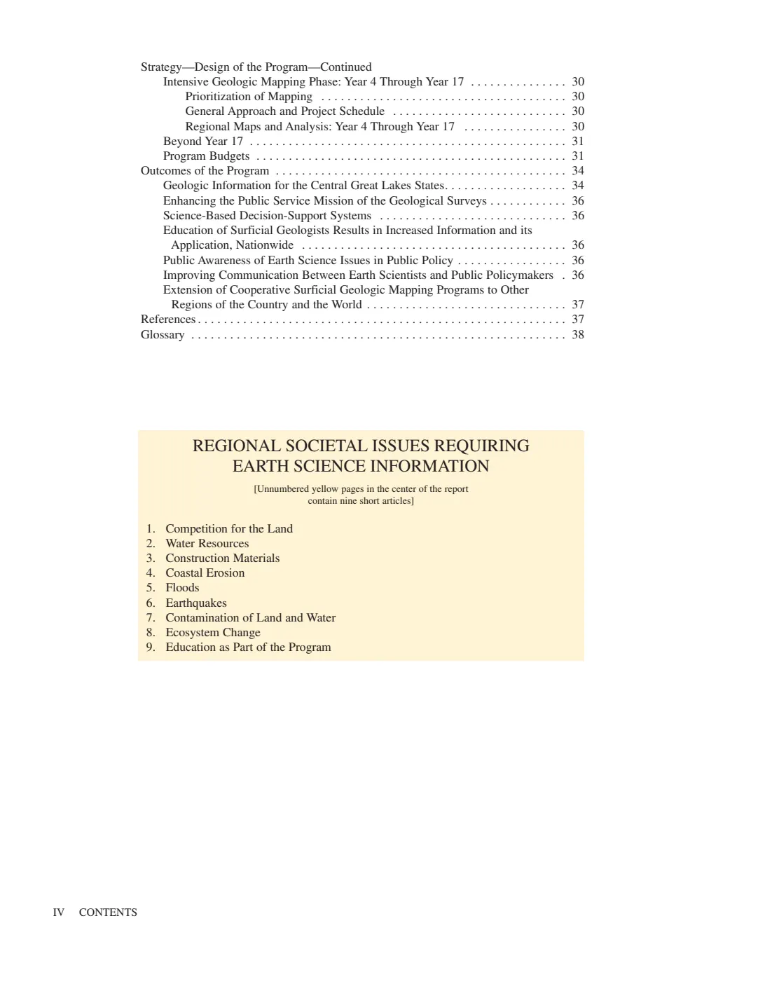
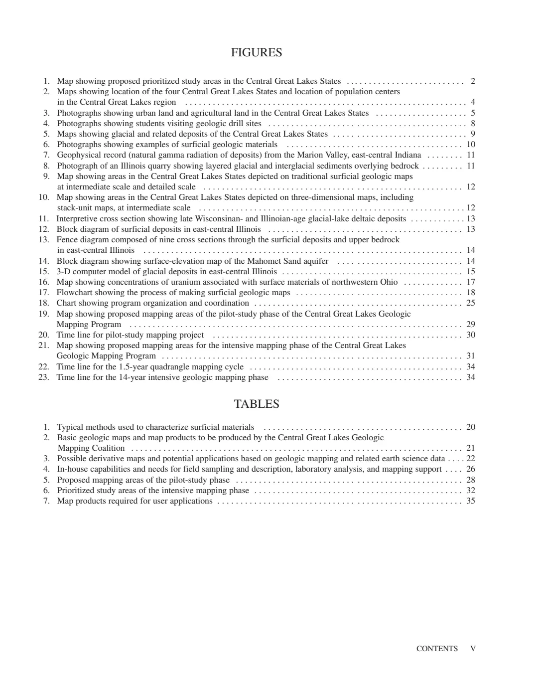
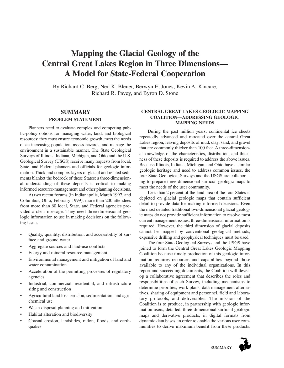
This held 1999 USGS Open-File Report documents a state–federal approach to three-dimensional glacial-geology mapping in the central Great Lakes region. It is a provenance source for the regional framework behind modern Quaternary map layers and interpretations.
Evidence and limits
The report establishes the partnership’s stated mapping rationale, regional glacial-terrain framework, and data-integration approach. It does not provide a Beaver Island-specific field observation, subsurface section, map unit, groundwater assessment, or land-use determination.
Use this source to explain the provenance and limits of regional geologic mapping, then use a source with an actual Beaver archipelago study area for any claim about a particular island feature.
See also
Read the document
65 pages, rendered from the held scan.

Sources
- Held public-domain USGS report describing a regional Illinois–Indiana–Michigan–Ohio mapping partnership and three-dimensional Quaternary framework. It documents regional mapping method and data-integration context, not a Beaver Island map, borehole, soil profile, groundwater result, or island-specific glacial interpretation.geology · publications · usgs_ofr_99_349
- Project provenance sidecar for USGS OFR 99-349.Records the USGS source URL, retrieval timestamp, checksum, 3,056,304-byte file size, public-domain status, and the project’s provenance-use note. No public copy of this file is known; the archive holds one and can provide it on request.geology · publications · usgs_ofr_99_349.provenance
Added 2 August 2026. Recent changes
Cite this article
Beaver Island Archive, “Mapping the Glacial Geology of the Central Great Lakes Region in Three Dimensions, 1999”, https://beaverislandarchive.org/documents/usgs-central-great-lakes-glacial-mapping-1999/, accessed [date], citing R. C. Berg et al., *Mapping the Glacial Geology of the Central Great Lakes Region in Three Dimensions—A Model for State-Federal Cooperation*, U.S. Geological Survey Open-File Report 99-349 (1999). (and 1 further source listed on the page).
Last revised 2026-08-02. Fill in [date] with the date you read it — this page is static and cannot know that.
BibTeX for “Mapping the Glacial Geology of the Central Great Lakes Region in Three Dimensions, 1999”RIS for “Mapping the Glacial Geology of the Central Great Lakes Region in Three Dimensions, 1999”