

- Eras
- Modern era
- Concepts
- transportationcartographyenvironment
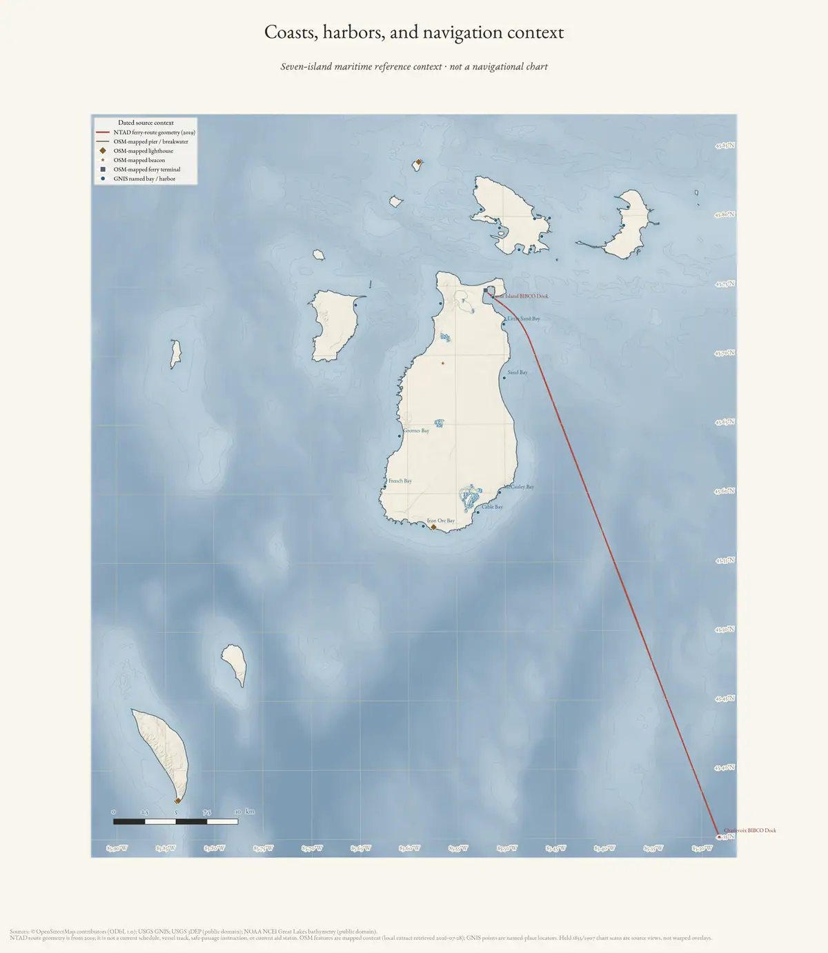
Seven-island maritime reference context, not a navigational chart. It shows no ferry route, vessel track, current aid status, safe passage, ownership, shoreline-change trace, or located shipwreck.
Sources
- Archive-generated maritime atlas plateNOAA NCEI bathymetry; GNIS named-place locators; and OSM mapped waterfront context, retrieved 2026-07-28. No public copy of this file is known; the archive holds one and can provide it on request.scripts · make_maritime_atlas
Added 3 August 2026 · revised 4 August 2026. Recent changes
Cite this article
Beaver Island Archive, “Coasts, harbors, and navigation context of the Beaver Island archipelago”, https://beaverislandarchive.org/map/atlas-archipelago-maritime/, accessed [date], citing Archive-generated maritime atlas plate.
Last revised 2026-08-04. Fill in [date] with the date you read it — this page is static and cannot know that.
BibTeX for “Coasts, harbors, and navigation context of the Beaver Island archipelago”RIS for “Coasts, harbors, and navigation context of the Beaver Island archipelago”