

Keyword · 12 objects
navigation symbols
A keyword drawn from what is visible in these objects, rather than from a fixed list. It exists because someone will look for this and nothing else.
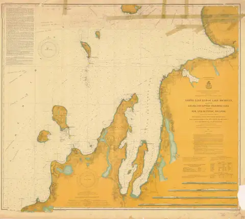 North East End of Lake Michigan including Grand and Little Traverse Bays and the Fox and Manitou Islands (1905)1905 · NOAA Office of Coast Survey, Historical Map & Chart Collection
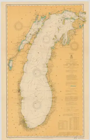 GENERAL CHART OF LAKE MICHIGAN. (1909)1909 · NOAA Office of Coast Survey
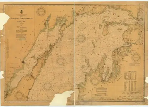 NORTH END OF LAKE MICHIGAN INCLUDING GREEN BAY (1934)1934 · NOAA Office of Coast Survey
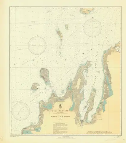 LAKE MICHIGAN POINT BETSIE TO CHARLEVOIX MICH INCLUDING MANITOU AND FOX ISLANDS (1935)1935 · NOAA Office of Coast Survey
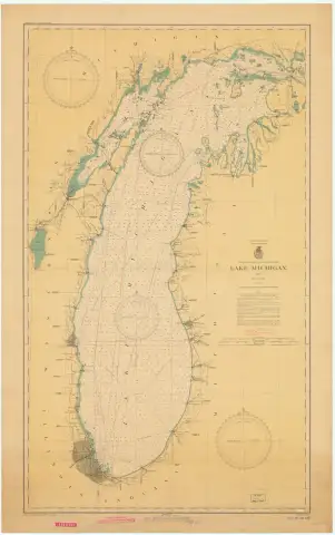 LAKE MICHIGAN (1942) · lc00007-11-1942-ls1942 · NOAA Office of Coast Survey
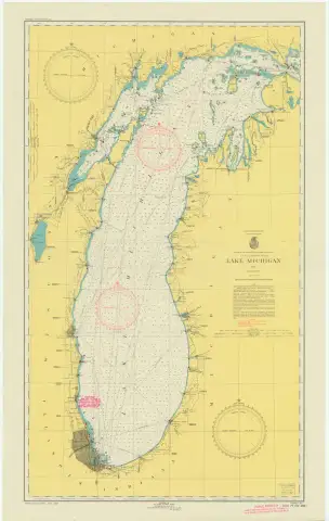 LAKE MICHIGAN (1948)1948 · NOAA Office of Coast Survey
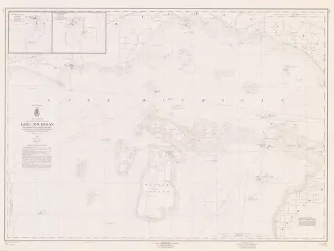 Lake Michigan Coast Waugoshance Point to Boulder Reef Brevort to Seul Choix Point including Beaver Island Group (1960)1960 · NOAA Office of Coast Survey, Historical Map & Chart Collection
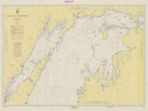 NORTH END OF LAKE MICHIGAN INCLUDING GREEN BAY (1963) · 70-10-1963index1963 · NOAA Office of Coast Survey
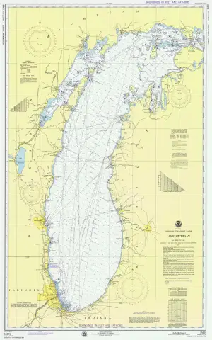 LAKE MICHIGAN (1975) · 14901-11-19751975 · NOAA Office of Coast Survey
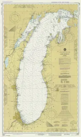 LAKE MICHIGAN (1980) · 14900-2-19801980 · NOAA Office of Coast Survey
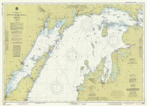 NORTH END OF LAKE MICHIGAN INCLUDING GREEN BAY (1981)1981 · NOAA Office of Coast Survey
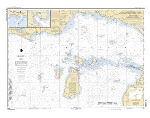 Waugoshance Point to Seul Choix Point, including Beaver Island Group;Port Inland;Beaver Harbor (2005)2005 · NOAA Office of Coast Survey, Historical Map & Chart Collection