

Curated subject · 2,090 objects
printed text
 Beaver Island land-survey detail — NortheastDrawn from the archive's own data in EPSG:3078. Map data © OpenStreetMap contributors (ODbL 1.0); BLM Cadastral Survey / PLSS and BLM General Land Office Records; Michigan Geographic Framework PLSS; USGS 3DEP (public domain).
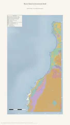 Beaver Island environmental detail — NorthwestDrawn from the archive's own data in EPSG:3078. Map data © OpenStreetMap contributors (ODbL 1.0); SSURGO soils, USFWS National Wetlands Inventory, Michigan EGLE hydric soils, USGS 3DEP, and National Hydrography Dataset (public domain).
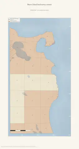
 Beaver Island land-survey detail — NorthwestDrawn from the archive's own data in EPSG:3078. Map data © OpenStreetMap contributors (ODbL 1.0); BLM Cadastral Survey / PLSS and BLM General Land Office Records; Michigan Geographic Framework PLSS; USGS 3DEP (public domain).
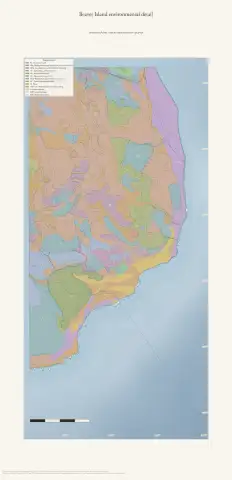 Beaver Island environmental detail — SoutheastDrawn from the archive's own data in EPSG:3078. Map data © OpenStreetMap contributors (ODbL 1.0); SSURGO soils, USFWS National Wetlands Inventory, Michigan EGLE hydric soils, USGS 3DEP, and National Hydrography Dataset (public domain).
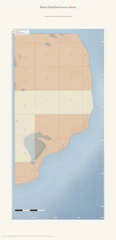 Beaver Island land-survey detail — SoutheastDrawn from the archive's own data in EPSG:3078. Map data © OpenStreetMap contributors (ODbL 1.0); BLM Cadastral Survey / PLSS and BLM General Land Office Records; Michigan Geographic Framework PLSS; USGS 3DEP (public domain).
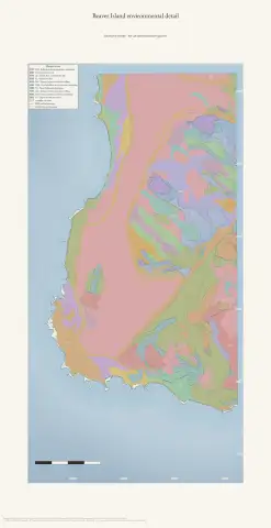 Beaver Island environmental detail — SouthwestDrawn from the archive's own data in EPSG:3078. Map data © OpenStreetMap contributors (ODbL 1.0); SSURGO soils, USFWS National Wetlands Inventory, Michigan EGLE hydric soils, USGS 3DEP, and National Hydrography Dataset (public domain).
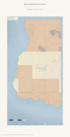 Beaver Island land-survey detail — SouthwestDrawn from the archive's own data in EPSG:3078. Map data © OpenStreetMap contributors (ODbL 1.0); BLM Cadastral Survey / PLSS and BLM General Land Office Records; Michigan Geographic Framework PLSS; USGS 3DEP (public domain).
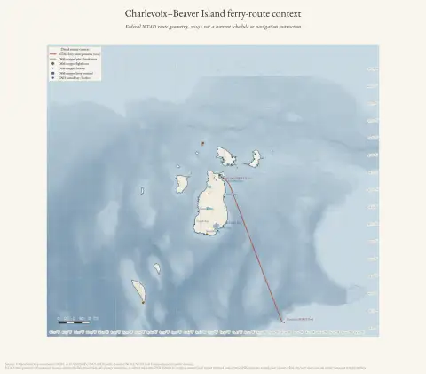 Charlevoix–Beaver Island ferry-route context (2019)Drawn from the archive's own data in EPSG:3078. Map data © OpenStreetMap contributors (ODbL 1.0); USGS GNIS, USGS 3DEP, and NOAA NCEI Great Lakes bathymetry (public domain).; U.S. DOT NTAD ferry-route geometry (2019).
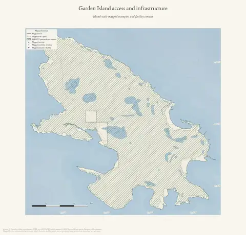 Garden Island access and infrastructureDrawn from the archive's own data in EPSG:3078. Map data © OpenStreetMap contributors (ODbL 1.0); PAD-US protected-area context and USGS 3DEP (public domain).
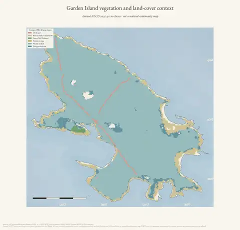 Garden Island vegetation and land-cover contextDrawn from the archive's own data in EPSG:3078. Map data © OpenStreetMap contributors (ODbL 1.0); USGS MRLC Annual NLCD and USGS 3DEP (public domain).
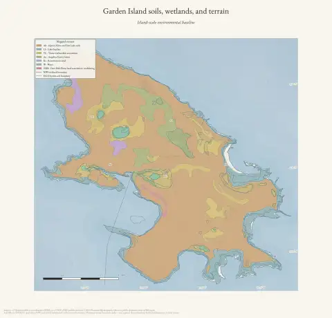 Garden Island soils, wetlands, and terrainDrawn from the archive's own data in EPSG:3078. Map data © OpenStreetMap contributors (ODbL 1.0); SSURGO soils, USFWS National Wetlands Inventory, Michigan EGLE hydric soils, USGS 3DEP, and National Hydrography Dataset (public domain).
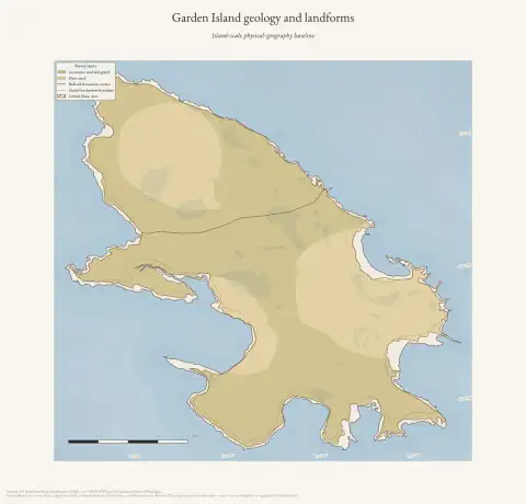 Garden Island geology and landformsDrawn from the archive's own data in EPSG:3078. Map data © OpenStreetMap contributors (ODbL 1.0); Michigan Geological Survey Quaternary and bedrock geology, glacial landsystems, critical dune areas, and USGS 3DEP (public domain).
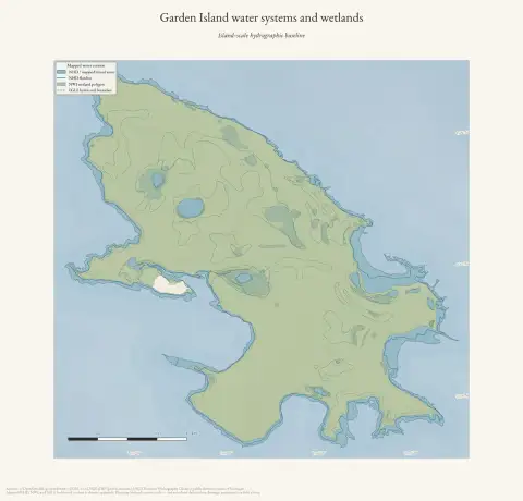 Garden Island water systems and wetlandsDrawn from the archive's own data in EPSG:3078. Map data © OpenStreetMap contributors (ODbL 1.0); USGS National Hydrography Dataset, USFWS National Wetlands Inventory, Michigan EGLE hydric soils, and USGS 3DEP (public domain).
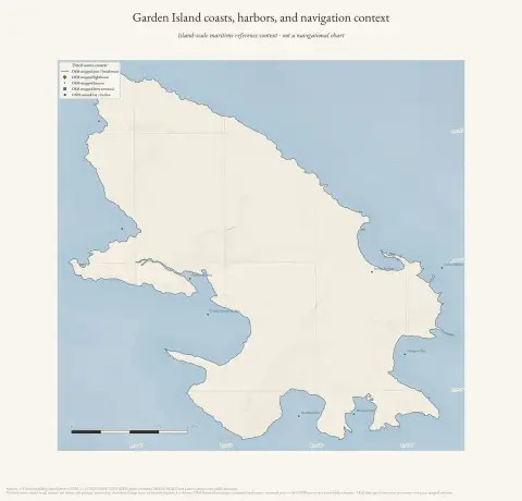 Garden Island coasts, harbors, and navigation contextDrawn from the archive's own data in EPSG:3078. Map data © OpenStreetMap contributors (ODbL 1.0); USGS GNIS, USGS 3DEP, and NOAA NCEI Great Lakes bathymetry (public domain).
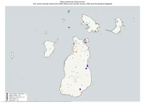 The gazetteer by eraDrawn from the archive's own data in EPSG:3078. Map data © OpenStreetMap contributors (ODbL 1.0); names from USGS GNIS (public domain).
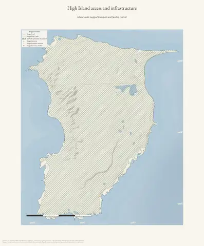 High Island access and infrastructureDrawn from the archive's own data in EPSG:3078. Map data © OpenStreetMap contributors (ODbL 1.0); PAD-US protected-area context and USGS 3DEP (public domain).
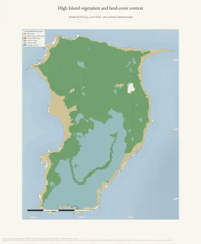 High Island vegetation and land-cover contextDrawn from the archive's own data in EPSG:3078. Map data © OpenStreetMap contributors (ODbL 1.0); USGS MRLC Annual NLCD and USGS 3DEP (public domain).
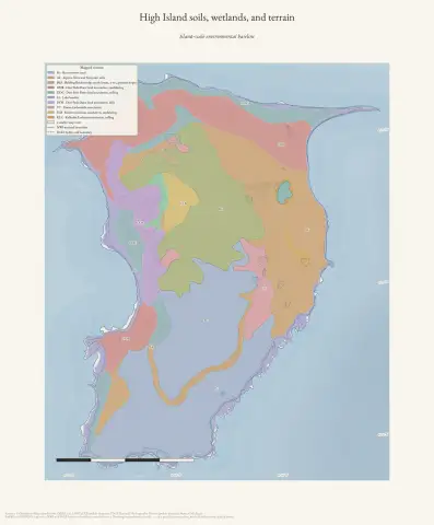 High Island soils, wetlands, and terrainDrawn from the archive's own data in EPSG:3078. Map data © OpenStreetMap contributors (ODbL 1.0); SSURGO soils, USFWS National Wetlands Inventory, Michigan EGLE hydric soils, USGS 3DEP, and National Hydrography Dataset (public domain).
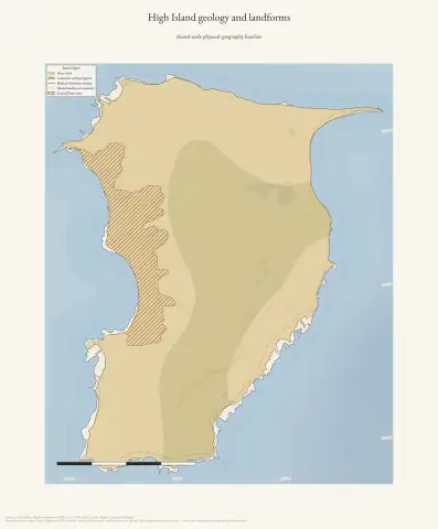 High Island geology and landformsDrawn from the archive's own data in EPSG:3078. Map data © OpenStreetMap contributors (ODbL 1.0); Michigan Geological Survey Quaternary and bedrock geology, glacial landsystems, critical dune areas, and USGS 3DEP (public domain).
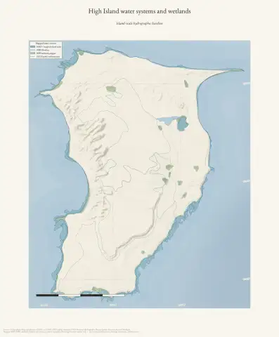 High Island water systems and wetlandsDrawn from the archive's own data in EPSG:3078. Map data © OpenStreetMap contributors (ODbL 1.0); USGS National Hydrography Dataset, USFWS National Wetlands Inventory, Michigan EGLE hydric soils, and USGS 3DEP (public domain).
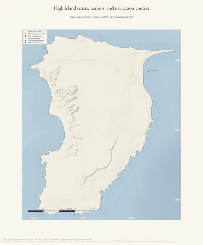 High Island coasts, harbors, and navigation contextDrawn from the archive's own data in EPSG:3078. Map data © OpenStreetMap contributors (ODbL 1.0); USGS GNIS, USGS 3DEP, and NOAA NCEI Great Lakes bathymetry (public domain).
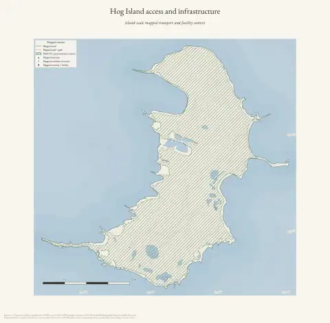 Hog Island access and infrastructureDrawn from the archive's own data in EPSG:3078. Map data © OpenStreetMap contributors (ODbL 1.0); PAD-US protected-area context and USGS 3DEP (public domain).
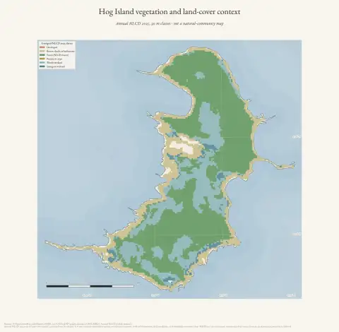 Hog Island vegetation and land-cover contextDrawn from the archive's own data in EPSG:3078. Map data © OpenStreetMap contributors (ODbL 1.0); USGS MRLC Annual NLCD and USGS 3DEP (public domain).
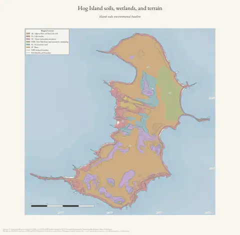 Hog Island soils, wetlands, and terrainDrawn from the archive's own data in EPSG:3078. Map data © OpenStreetMap contributors (ODbL 1.0); SSURGO soils, USFWS National Wetlands Inventory, Michigan EGLE hydric soils, USGS 3DEP, and National Hydrography Dataset (public domain).
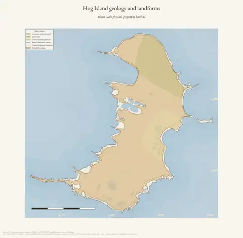 Hog Island geology and landformsDrawn from the archive's own data in EPSG:3078. Map data © OpenStreetMap contributors (ODbL 1.0); Michigan Geological Survey Quaternary and bedrock geology, glacial landsystems, critical dune areas, and USGS 3DEP (public domain).
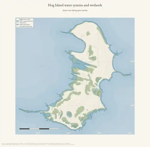 Hog Island water systems and wetlandsDrawn from the archive's own data in EPSG:3078. Map data © OpenStreetMap contributors (ODbL 1.0); USGS National Hydrography Dataset, USFWS National Wetlands Inventory, Michigan EGLE hydric soils, and USGS 3DEP (public domain).
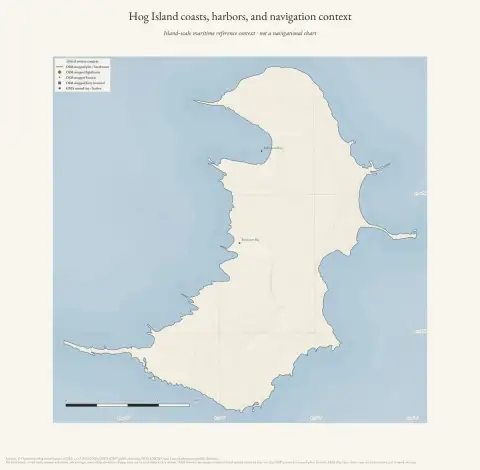 Hog Island coasts, harbors, and navigation contextDrawn from the archive's own data in EPSG:3078. Map data © OpenStreetMap contributors (ODbL 1.0); USGS GNIS, USGS 3DEP, and NOAA NCEI Great Lakes bathymetry (public domain).
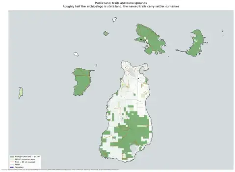 Land ownership and trailsDrawn from the archive's own data in EPSG:3078. Map data © OpenStreetMap contributors (ODbL 1.0); protected areas from USGS PAD-US (public domain).
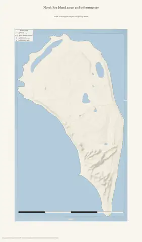 North Fox Island access and infrastructureDrawn from the archive's own data in EPSG:3078. Map data © OpenStreetMap contributors (ODbL 1.0); PAD-US protected-area context and USGS 3DEP (public domain).
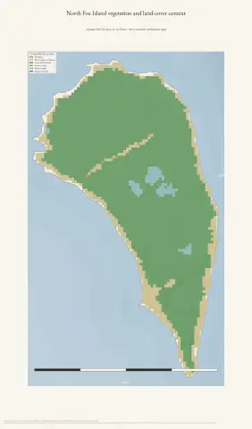 North Fox Island vegetation and land-cover contextDrawn from the archive's own data in EPSG:3078. Map data © OpenStreetMap contributors (ODbL 1.0); USGS MRLC Annual NLCD and USGS 3DEP (public domain).
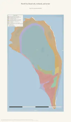 North Fox Island soils, wetlands, and terrainDrawn from the archive's own data in EPSG:3078. Map data © OpenStreetMap contributors (ODbL 1.0); SSURGO soils, USFWS National Wetlands Inventory, Michigan EGLE hydric soils, USGS 3DEP, and National Hydrography Dataset (public domain).
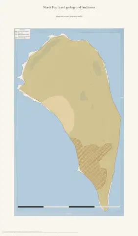 North Fox Island geology and landformsDrawn from the archive's own data in EPSG:3078. Map data © OpenStreetMap contributors (ODbL 1.0); Michigan Geological Survey Quaternary and bedrock geology, glacial landsystems, critical dune areas, and USGS 3DEP (public domain).
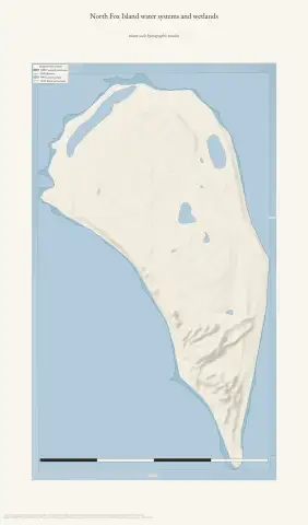 North Fox Island water systems and wetlandsDrawn from the archive's own data in EPSG:3078. Map data © OpenStreetMap contributors (ODbL 1.0); USGS National Hydrography Dataset, USFWS National Wetlands Inventory, Michigan EGLE hydric soils, and USGS 3DEP (public domain).
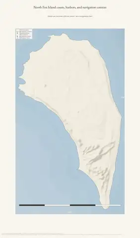 North Fox Island coasts, harbors, and navigation contextDrawn from the archive's own data in EPSG:3078. Map data © OpenStreetMap contributors (ODbL 1.0); USGS GNIS, USGS 3DEP, and NOAA NCEI Great Lakes bathymetry (public domain).
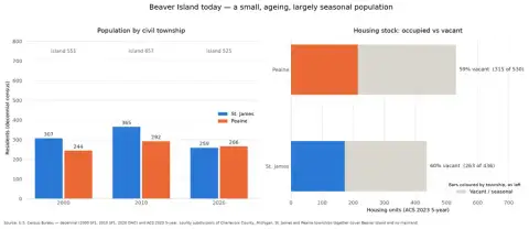 Population and housingDrawn from U.S. Census Bureau decennial and ACS series (public domain).
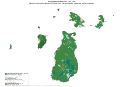 Pre-settlement vegetationDrawn from the archive's own data in EPSG:3078. Map data © OpenStreetMap contributors (ODbL 1.0); land cover circa 1800 from the Michigan Department of Natural Resources (public domain).
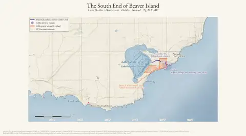 The South End of Beaver IslandDrawn from the archive's own data in EPSG:3078. Map data © OpenStreetMap contributors (ODbL 1.0); USGS 3DEP and National Hydrography Dataset (public domain); NOAA NCEI bathymetry (public domain); BLM Cadastral Survey / PLSS and General Land Office records.
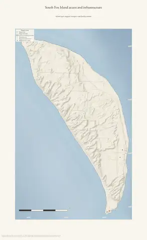 South Fox Island access and infrastructureDrawn from the archive's own data in EPSG:3078. Map data © OpenStreetMap contributors (ODbL 1.0); PAD-US protected-area context and USGS 3DEP (public domain).
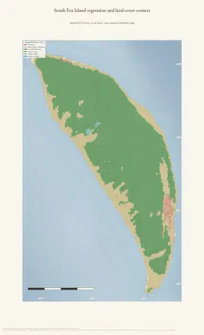 South Fox Island vegetation and land-cover contextDrawn from the archive's own data in EPSG:3078. Map data © OpenStreetMap contributors (ODbL 1.0); USGS MRLC Annual NLCD and USGS 3DEP (public domain).
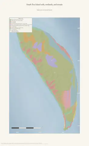 South Fox Island soils, wetlands, and terrainDrawn from the archive's own data in EPSG:3078. Map data © OpenStreetMap contributors (ODbL 1.0); SSURGO soils, USFWS National Wetlands Inventory, Michigan EGLE hydric soils, USGS 3DEP, and National Hydrography Dataset (public domain).
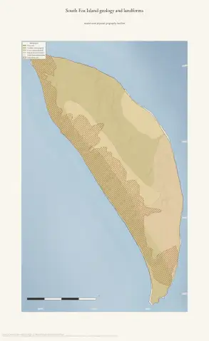 South Fox Island geology and landformsDrawn from the archive's own data in EPSG:3078. Map data © OpenStreetMap contributors (ODbL 1.0); Michigan Geological Survey Quaternary and bedrock geology, glacial landsystems, critical dune areas, and USGS 3DEP (public domain).
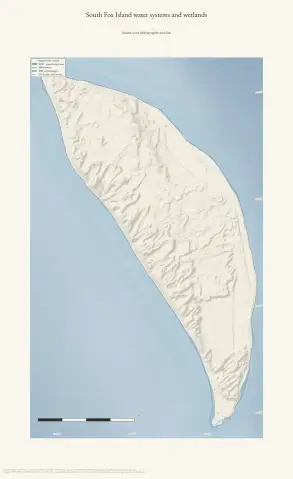 South Fox Island water systems and wetlandsDrawn from the archive's own data in EPSG:3078. Map data © OpenStreetMap contributors (ODbL 1.0); USGS National Hydrography Dataset, USFWS National Wetlands Inventory, Michigan EGLE hydric soils, and USGS 3DEP (public domain).
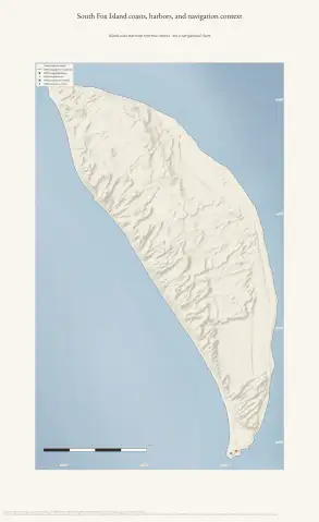 South Fox Island coasts, harbors, and navigation contextDrawn from the archive's own data in EPSG:3078. Map data © OpenStreetMap contributors (ODbL 1.0); USGS GNIS, USGS 3DEP, and NOAA NCEI Great Lakes bathymetry (public domain).
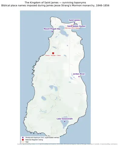 Strang-era toponymsDrawn from the archive's own data in EPSG:3078. Map data © OpenStreetMap contributors (ODbL 1.0); names from USGS GNIS (public domain).
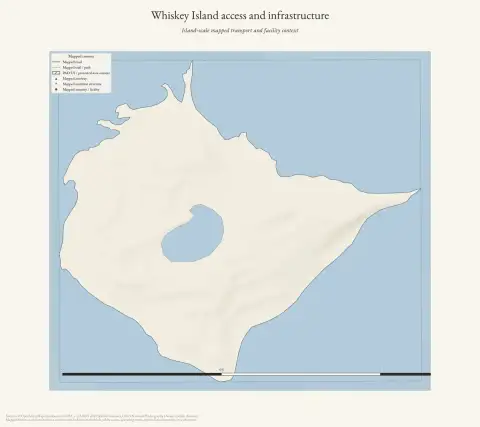 Whiskey Island access and infrastructureDrawn from the archive's own data in EPSG:3078. Map data © OpenStreetMap contributors (ODbL 1.0); PAD-US protected-area context and USGS 3DEP (public domain).
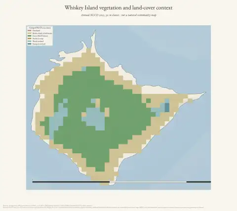 Whiskey Island vegetation and land-cover contextDrawn from the archive's own data in EPSG:3078. Map data © OpenStreetMap contributors (ODbL 1.0); USGS MRLC Annual NLCD and USGS 3DEP (public domain).
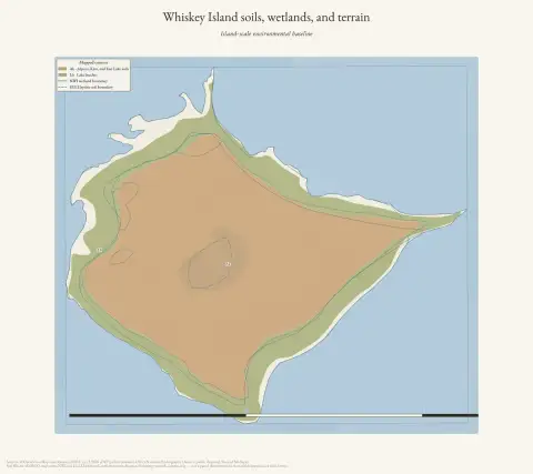 Whiskey Island soils, wetlands, and terrainDrawn from the archive's own data in EPSG:3078. Map data © OpenStreetMap contributors (ODbL 1.0); SSURGO soils, USFWS National Wetlands Inventory, Michigan EGLE hydric soils, USGS 3DEP, and National Hydrography Dataset (public domain).
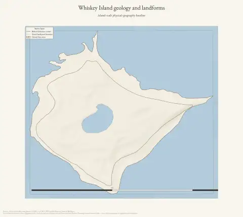 Whiskey Island geology and landformsDrawn from the archive's own data in EPSG:3078. Map data © OpenStreetMap contributors (ODbL 1.0); Michigan Geological Survey Quaternary and bedrock geology, glacial landsystems, critical dune areas, and USGS 3DEP (public domain).
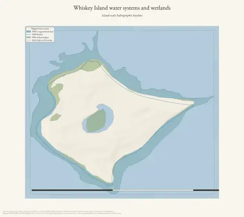 Whiskey Island water systems and wetlandsDrawn from the archive's own data in EPSG:3078. Map data © OpenStreetMap contributors (ODbL 1.0); USGS National Hydrography Dataset, USFWS National Wetlands Inventory, Michigan EGLE hydric soils, and USGS 3DEP (public domain).
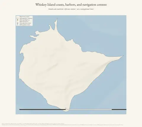 Whiskey Island coasts, harbors, and navigation contextDrawn from the archive's own data in EPSG:3078. Map data © OpenStreetMap contributors (ODbL 1.0); USGS GNIS, USGS 3DEP, and NOAA NCEI Great Lakes bathymetry (public domain).