

Keyword · 2 objects
shoreline contours
A keyword drawn from what is visible in these objects, rather than from a fixed list. It exists because someone will look for this and nothing else.
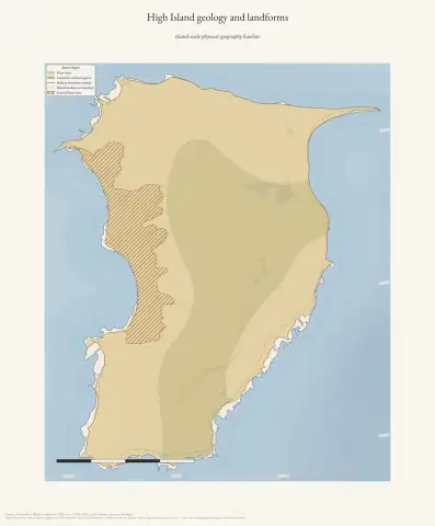 High Island geology and landformsDrawn from the archive's own data in EPSG:3078. Map data © OpenStreetMap contributors (ODbL 1.0); Michigan Geological Survey Quaternary and bedrock geology, glacial landsystems, critical dune areas, and USGS 3DEP (public domain).
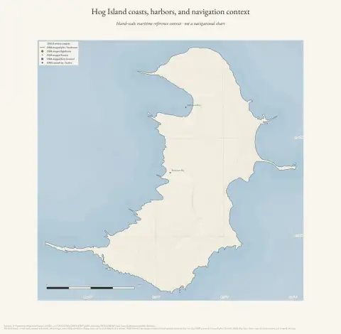 Hog Island coasts, harbors, and navigation contextDrawn from the archive's own data in EPSG:3078. Map data © OpenStreetMap contributors (ODbL 1.0); USGS GNIS, USGS 3DEP, and NOAA NCEI Great Lakes bathymetry (public domain).