

Beaver Island ArchiveA primary-source archive & encyclopedia45°40′N 85°33′W · Lake Michigan
Colour scheme
Search

Place

Indianapolis

Also Indianapolis · Indiana

Draft — sources verified, prose evolving

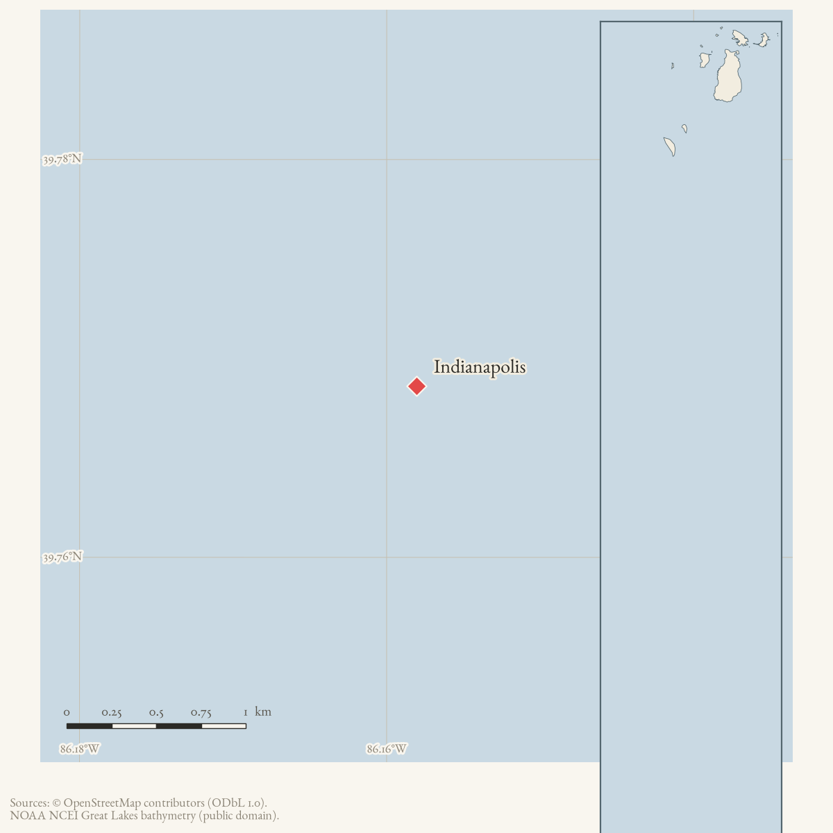
Locator map: Indianapolis highlighted within the Beaver Island archipelago
Locator plate © OpenStreetMap contributors (ODbL 1.0); depths NOAA; names USGS GNIS. How the plates are drawn.
TypePlace
Coordinates39.7686° N, 86.1581° WGoogle Maps: IndianapolisDownload KML
ErasModern era
On this page
Locator map: Indianapolis highlighted within the Beaver Island archipelago
Locator plate © OpenStreetMap contributors (ODbL 1.0); depths NOAA; names USGS GNIS. How the plates are drawn.
Place
Coordinates
39.7686° N, 86.1581° WGoogle Maps: IndianapolisDownload KML
Eras
Modern era
Concepts
community

Summary

Indianapolis is a city-level anchor for an archive dinner notice; the private home named in that notice is not located precisely here.

The dated record

4 dated events · 1960–2024These years on the timeline →

Sources

  1. Records the city label point at 39°46′07″N, 86°09′29″W; it is not a coordinate for the Lockwood home.

Added 2 August 2026. Recent changes

Cite this article

Beaver Island Archive, “Indianapolis”, https://beaverislandarchive.org/places/indianapolis/, accessed [date], citing Wikidata, Indianapolis (Q6346), coordinate location, retrieved 2026-08-01..

Last revised 2026-08-02. Fill in [date] with the date you read it — this page is static and cannot know that.

BibTeX for “Indianapolis”RIS for “Indianapolis”