

- Coordinates
- 45.7881° N, 85.5026° WGoogle Maps: Little IslandDownload KML
- Concepts
- environmentmaritime
- Within
- Beaver Island archipelago
Summary
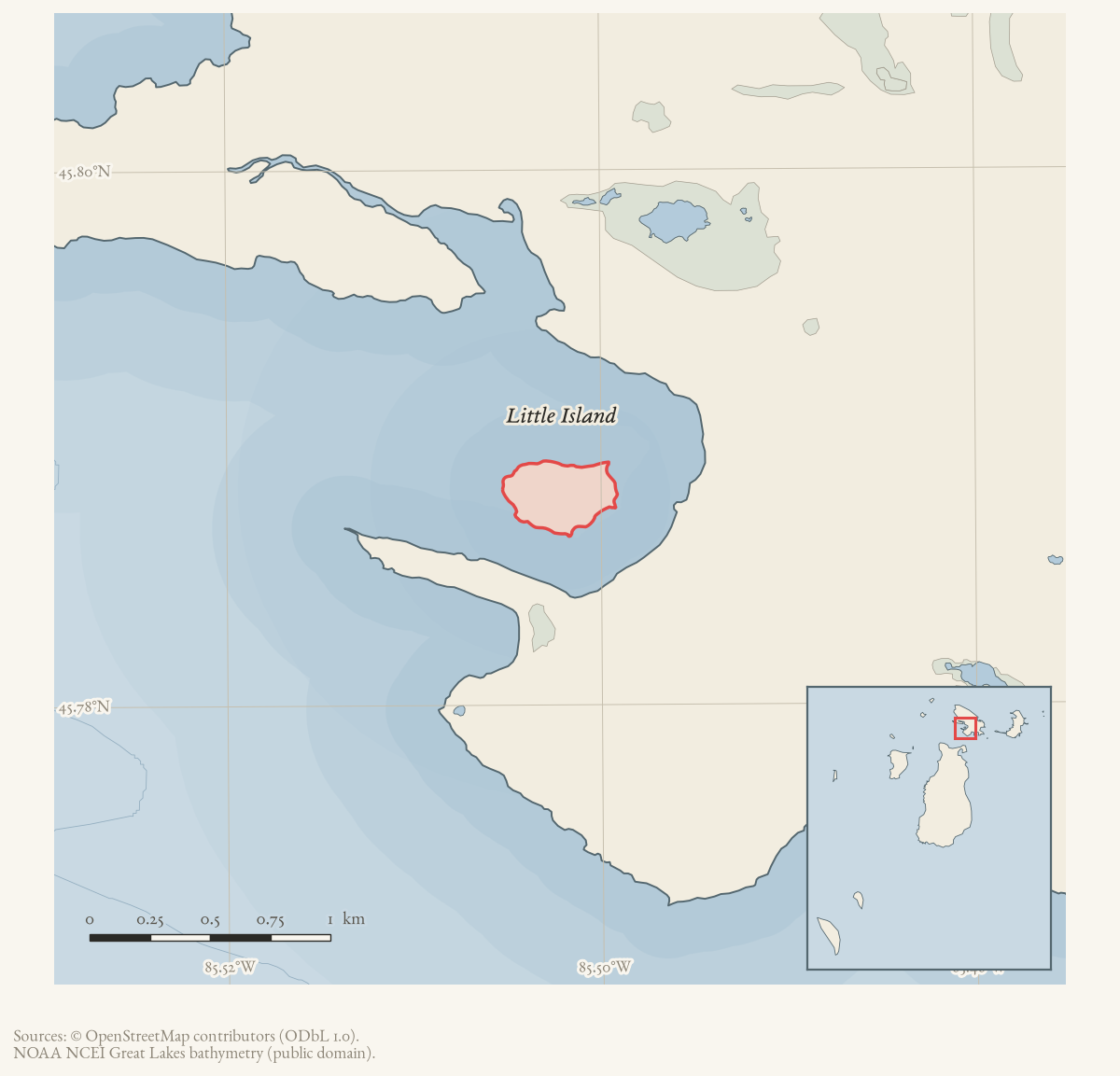
Little Island is a GNIS-named islet in the Beaver Island archipelago. The current OpenStreetMap island snapshot contains a matching polygon (way 157554842) carrying GNIS feature 630646 and calculates an area of approximately 0.11 km². The GNIS name record points to a 1981 U.S. Geological Survey map compilation. These records establish present mapped identity and geometry, but the name’s origin, ownership, ecology, and local history remain unresolved.
Open questions
- What historical maps or local accounts explain the name Little Island?
- What ownership, habitat, and navigation records describe the islet?
Maps for this place
These Atlas plates provide regional context. They do not establish a precise boundary, current ownership, access right, operating status, or field condition.
- EnvironmentSoils, wetlands, hydrography, and terrain
- GeologyGeneralized geology and landforms
- HydrologyMapped water and wetland context
- AccessMapped routes, facilities, and protected areas
- Land surveyPLSS geometry and historic GLO patent-location context
Sources
- Way 157554842 is named Little Island, tagged place=islet, carries GNIS feature 630646, and has an area of approximately 0.11 km² computed in EPSG:3078.osm · islands
- The official-name record identifies a 1981 U.S. Geological Survey map compilation for Little Island.federal · gnis · gnis_variant_names
Added 28 July 2026 · revised 1 August 2026. Recent changes
Cite this article
Beaver Island Archive, “Little Island”, https://beaverislandarchive.org/places/little-island/, accessed [date], citing OpenStreetMap contributors, island polygons via Overpass API, retrieved 2026-07-28 (ODbL 1.0). (and 1 further source listed on the page).
Last revised 2026-08-01. Fill in [date] with the date you read it — this page is static and cannot know that.