

Atlas · maritime and coastal context
Maritime Atlas
These maps combine NOAA bathymetric reference, GNIS named bay and harbor locators, and locally mapped OSM waterfront features. They are not navigation charts.
The regional ferry plate shows federal NTAD route geometry from 2019 only; it is not a current schedule, vessel track, or navigation instruction. The other sheets do not show a ferry route, current aid-to-navigation status, safe passage, ownership, shoreline-change trace, or a located shipwreck. The archive's held 1855 and 1907 chart scans remain separately dated source views, not warped overlays.
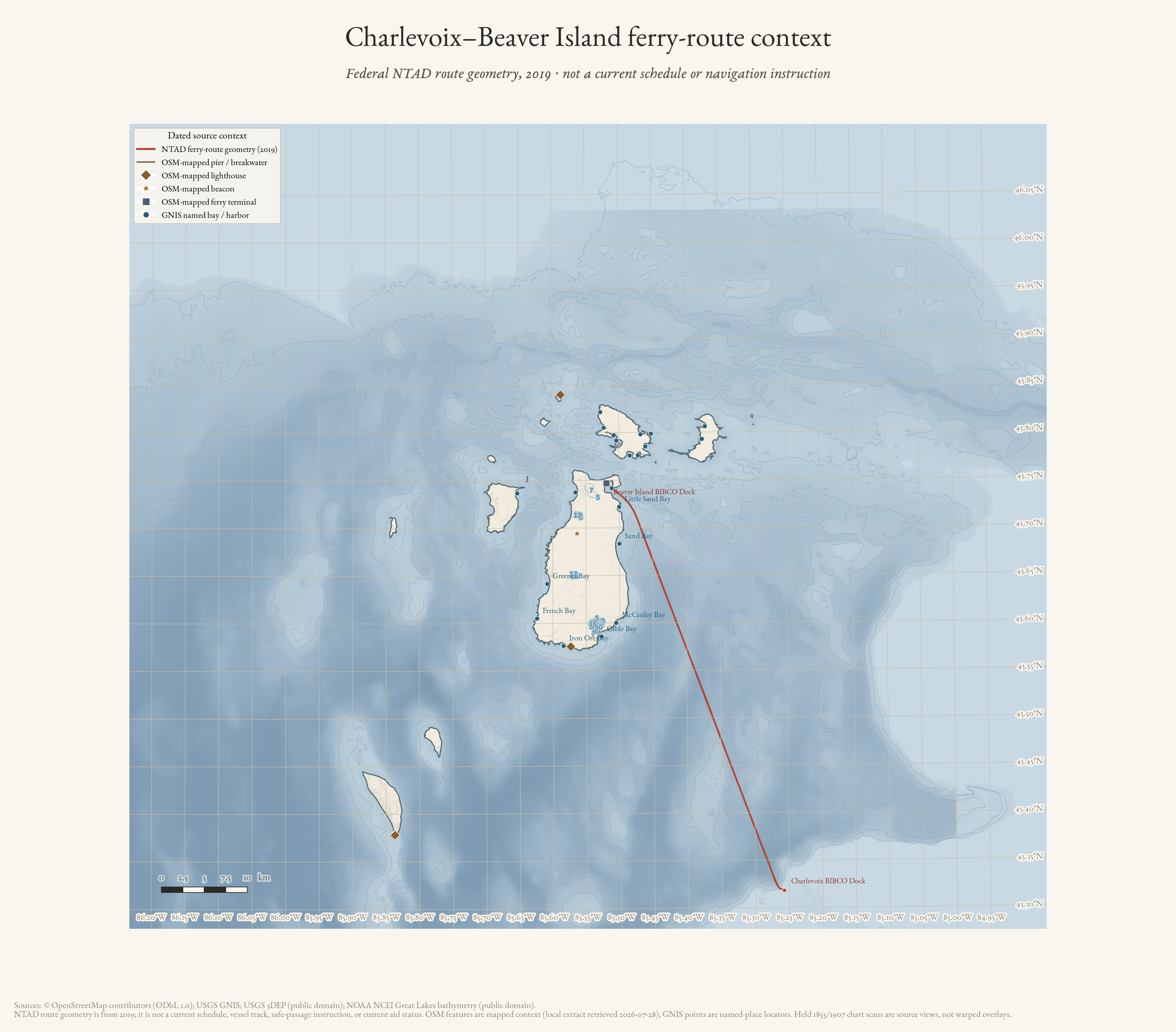
Charlevoix–Beaver Island ferry-route context (2019)
Federal NTAD route geometry in regional bathymetric context; not a current schedule, vessel track, or navigation instruction.
Drawn from the archive's own data in EPSG:3078. Map data © OpenStreetMap contributors (ODbL 1.0); USGS GNIS and 3DEP; NOAA NCEI Great Lakes bathymetry (public domain).
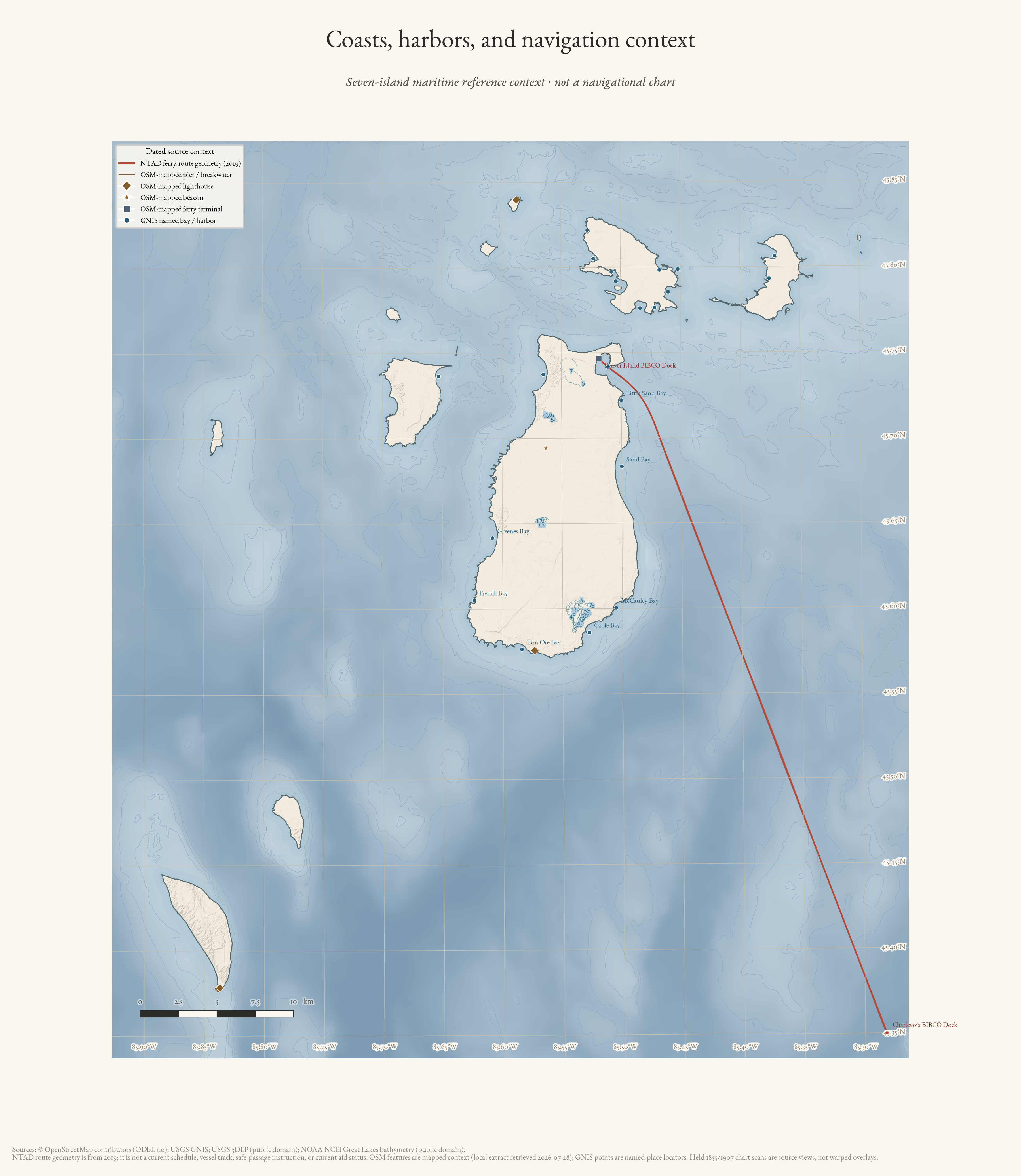
Coasts, harbors, and navigation context
Seven-island NOAA bathymetry, GNIS named harbors, and mapped waterfront features—not a navigational chart.
Drawn from the archive's own data in EPSG:3078. Map data © OpenStreetMap contributors (ODbL 1.0); USGS GNIS and 3DEP; NOAA NCEI Great Lakes bathymetry (public domain).
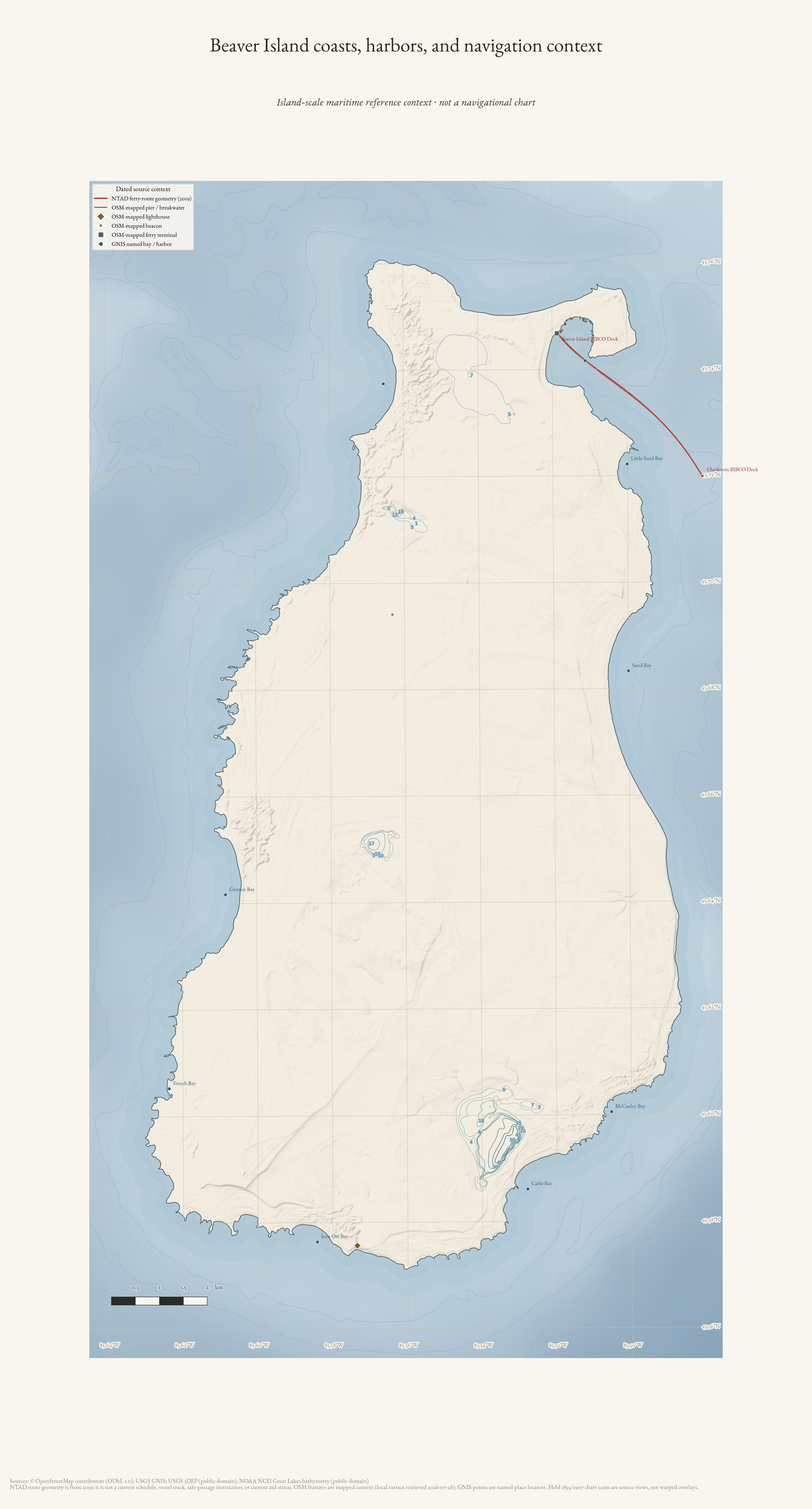
Beaver Island coasts, harbors, and navigation context
Island-scale NOAA bathymetry, GNIS named harbors, and mapped waterfront context for Beaver Island; not a navigational chart.
Drawn from the archive's own data in EPSG:3078. Map data © OpenStreetMap contributors (ODbL 1.0); USGS GNIS and 3DEP; NOAA NCEI Great Lakes bathymetry (public domain).