

- Date
- 1849
- Eras
- Early American era
- Concepts
- land-surveyheritageenvironmentfishing
- Within
- Gull Island
Summary
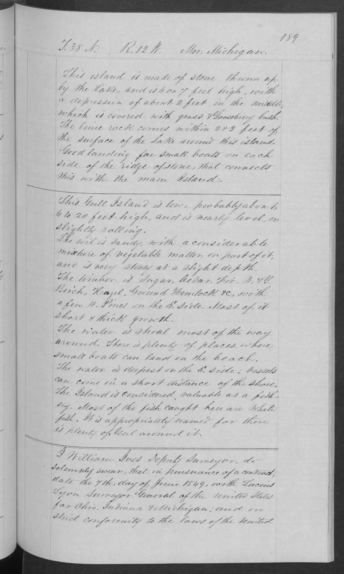
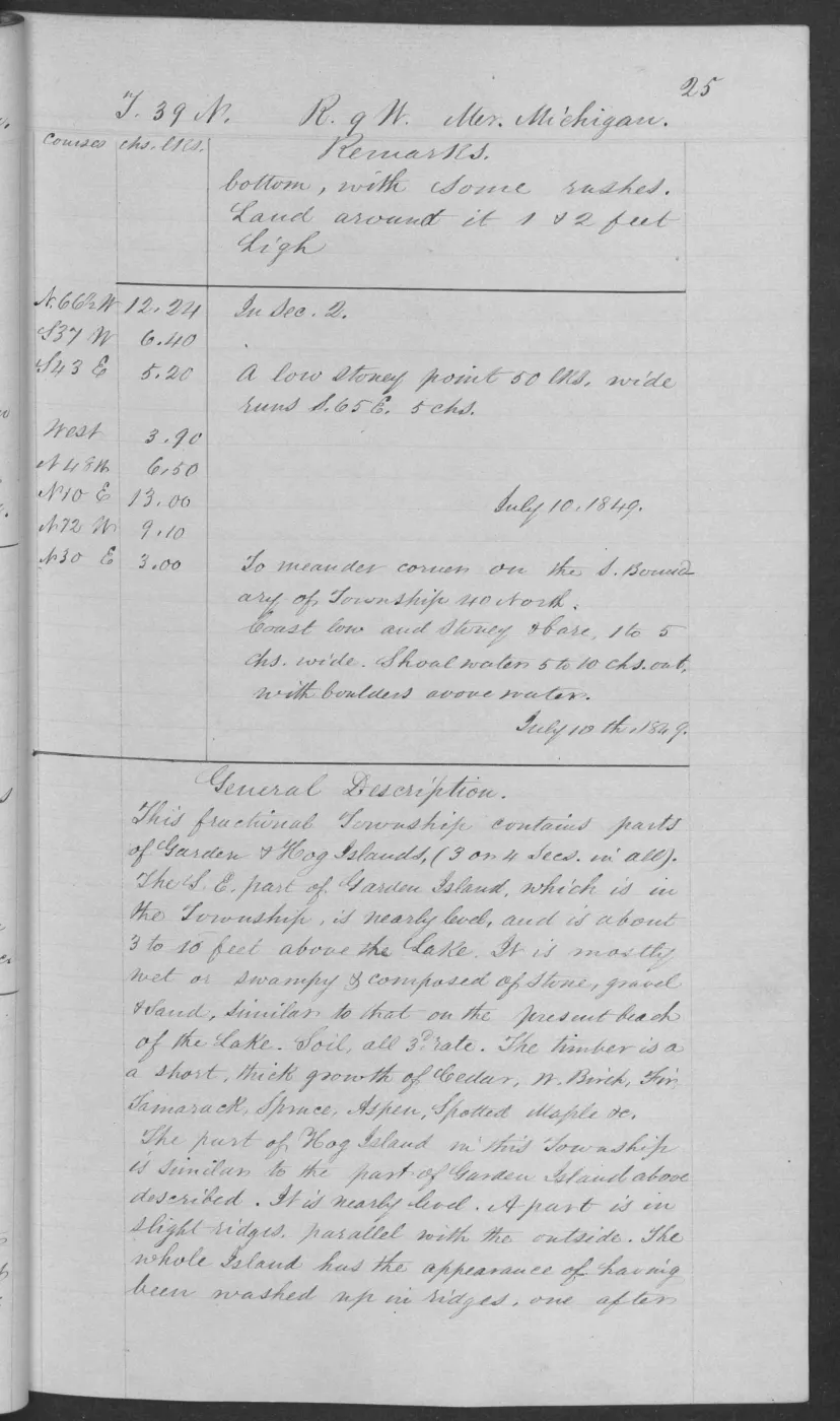
These checked pages from BLM Field Note Volume 168138 preserve a 1849 general description of Gull Island in fractional T38N R12W. It is a page-level historical record, distinct from the broader field-note volume and from modern refuge, GNIS, or mapping records.
Dated observation
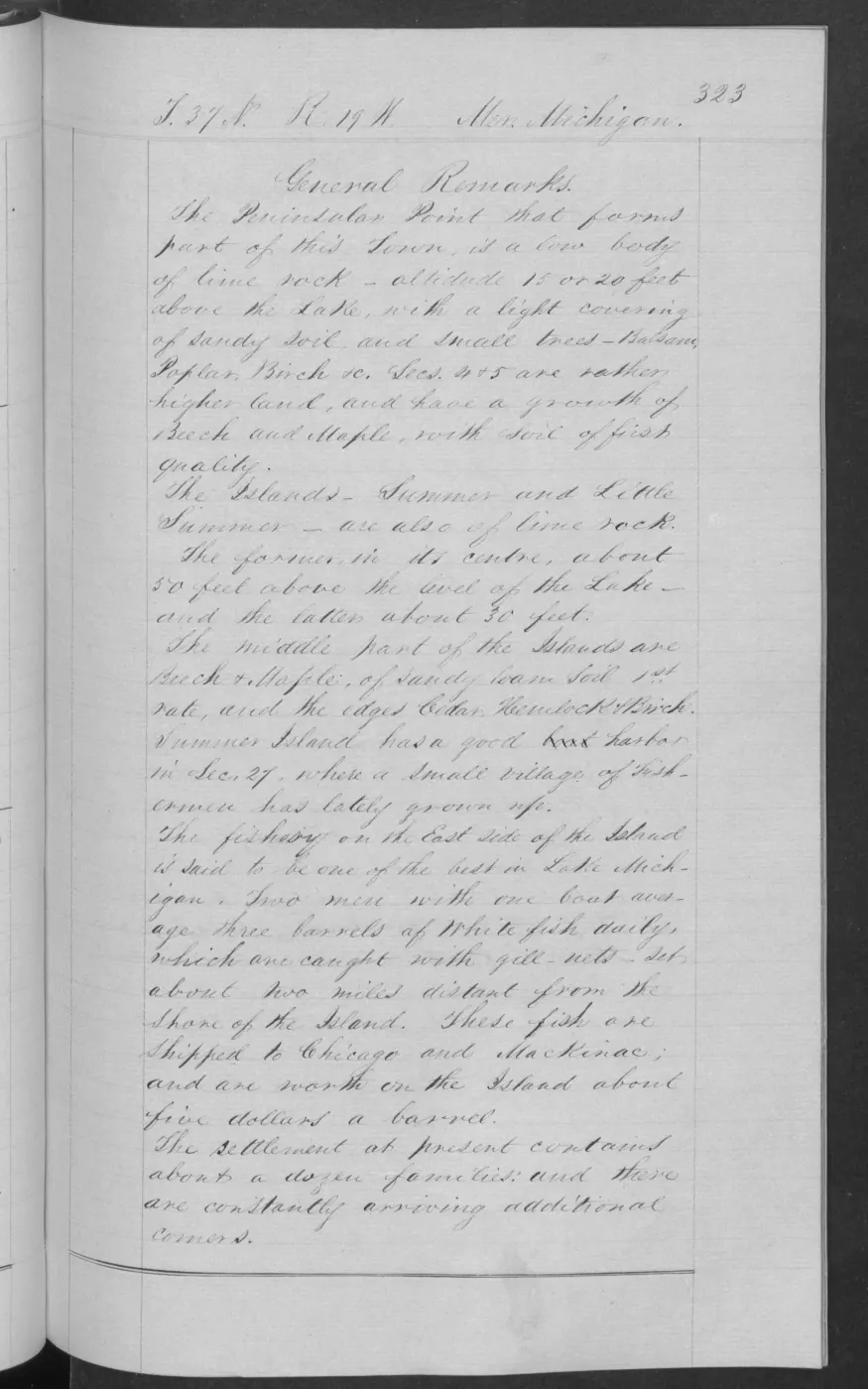
The surveyor described Gull Island as low—roughly six to twenty feet high—and nearly level to slightly rolling. The page records sandy soil with vegetable matter near the surface and stone at shallow depth; short, thick growth including sugar, cedar, fir, white birch, hazel, ground hemlock, and a few white pines; and shallow water around most of the island. It notes beach landings for small boats and reports whitefish as the fish most commonly caught there, with plenty of fuel around the island.
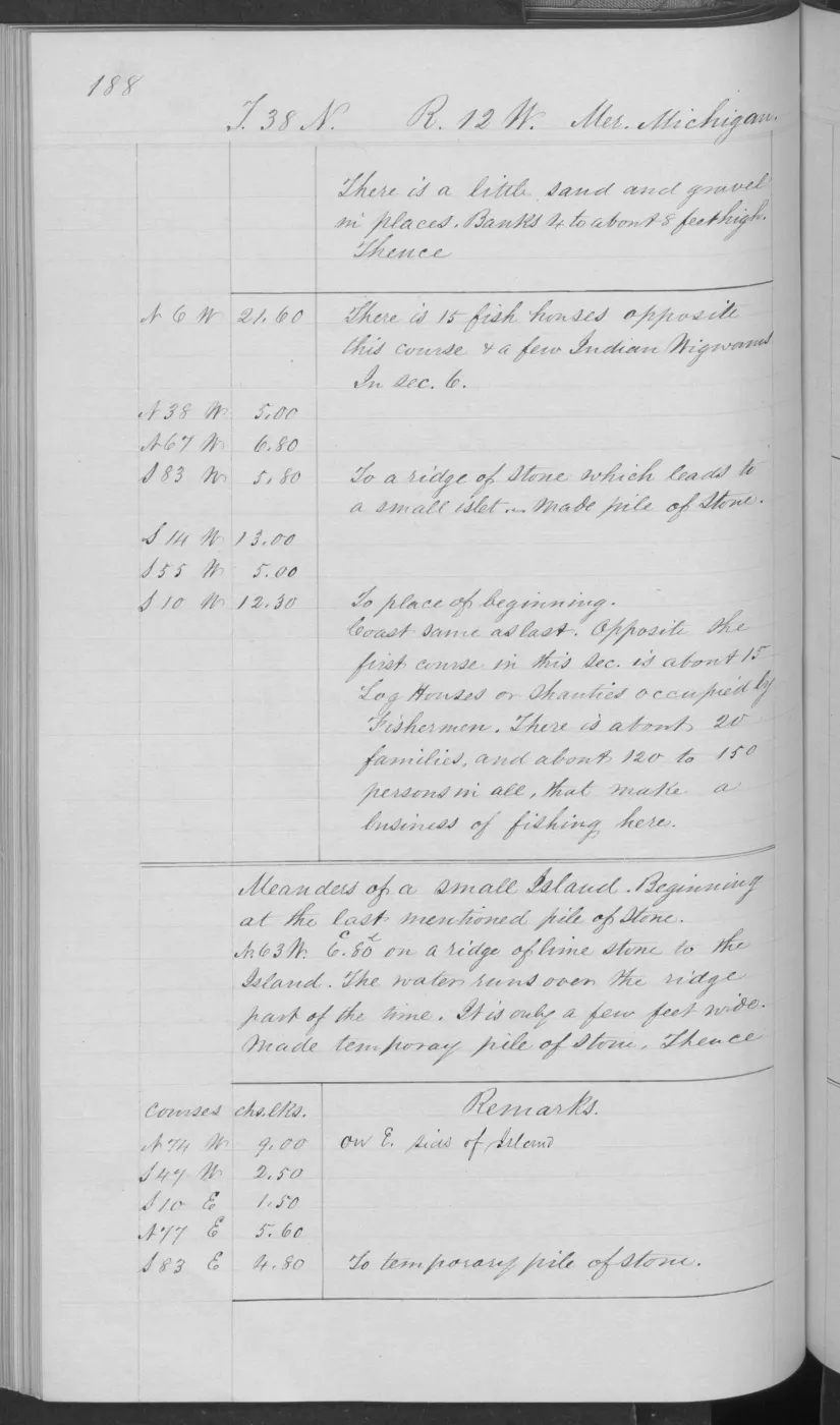
The meander continuation adds a log shanty occupied by fishermen, 15 fish houses, a few wigwams, and an estimate of about 20 families and 120–150 people making a business of fishing there. The related location page (p. 0186) sets the meander post “in the Fishermans Village” on the same section 6/7 line whose west end begins the Gull Island meanders, placing the village on Gull Island (corrected 12 August 2026; an earlier version treated the attribution as unsettled).
Evidence and limits
These statements are a federal surveyor’s bounded 1849 observations and reported fishery assessment. They do not establish a continuous whitefish fishery, present navigation conditions, a complete ecological inventory, occupation, tribal affiliation, ownership, title, access rights, or the current refuge condition.
See also
Read the document
406 pages, rendered from the held scan.
Jump to a page — 406 in all
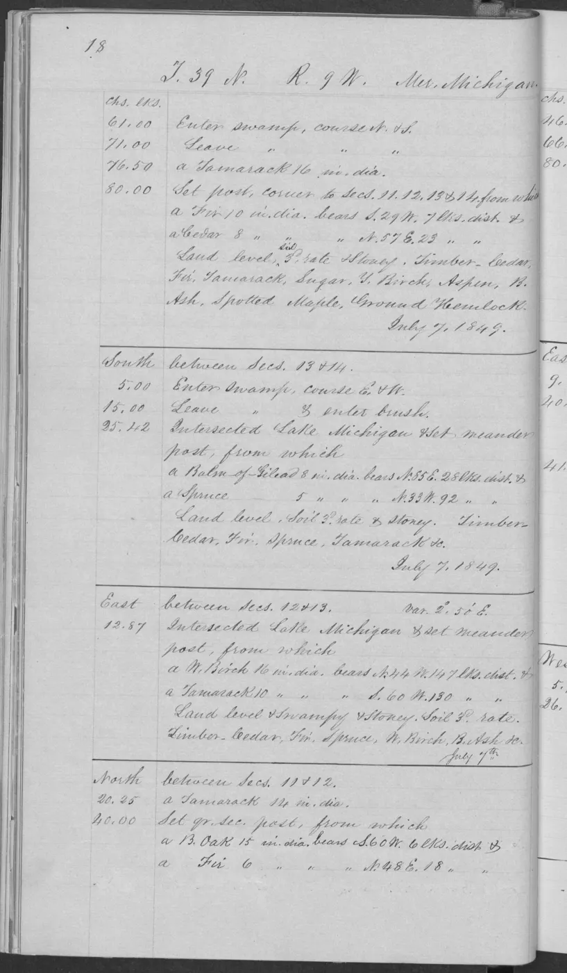
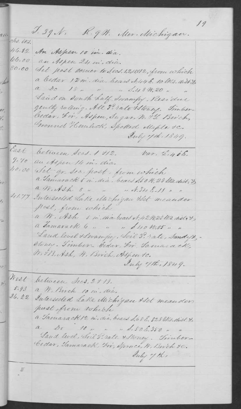
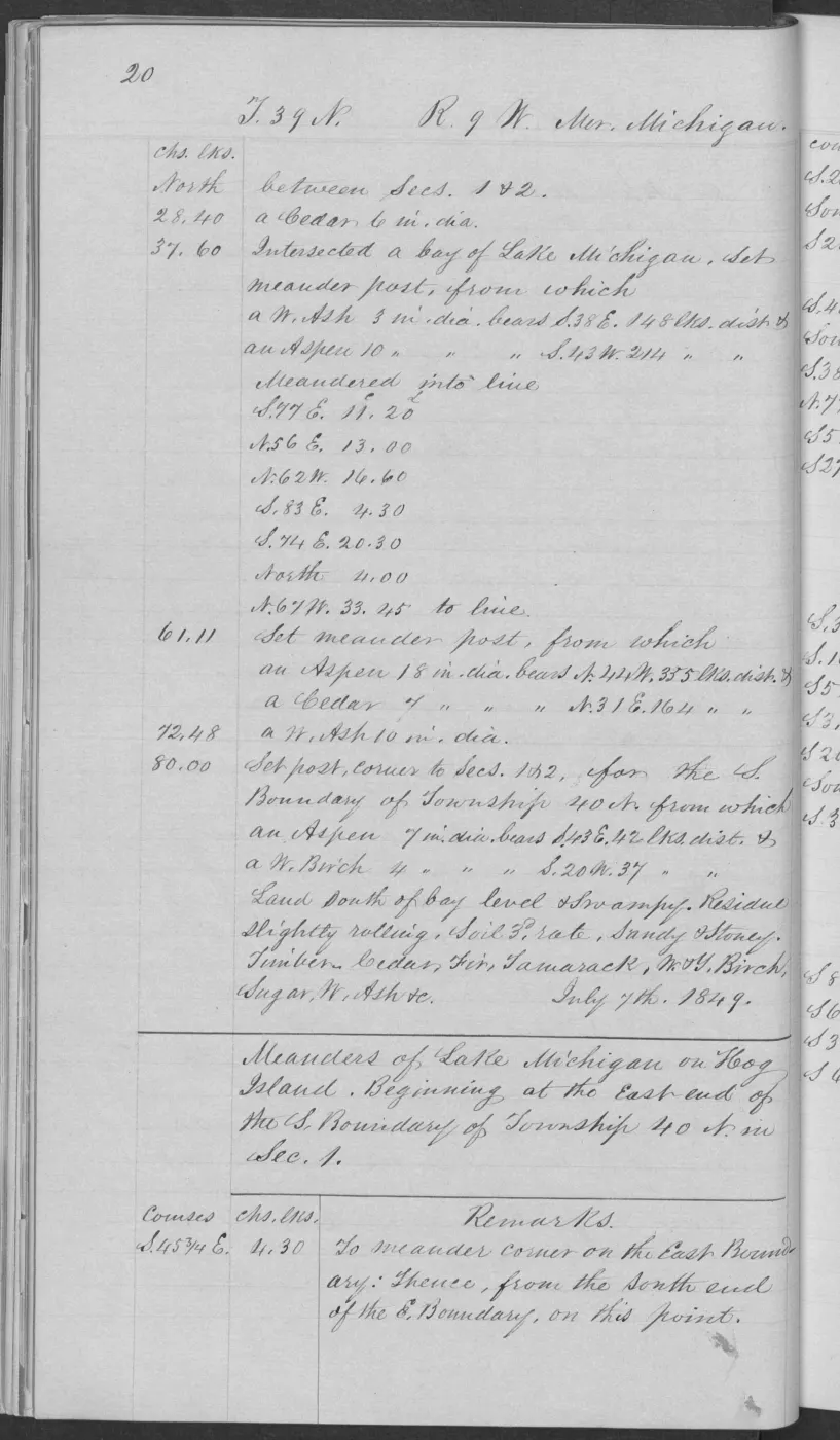
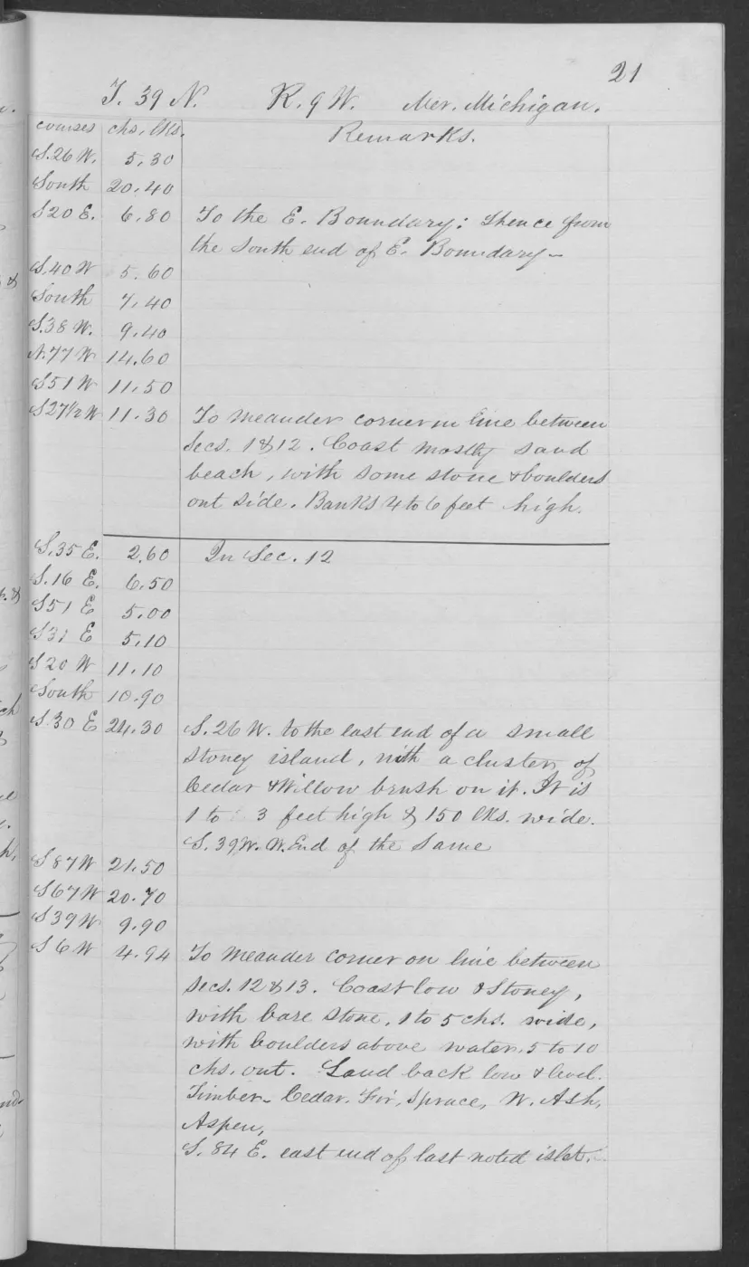
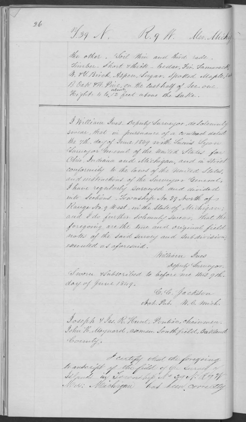
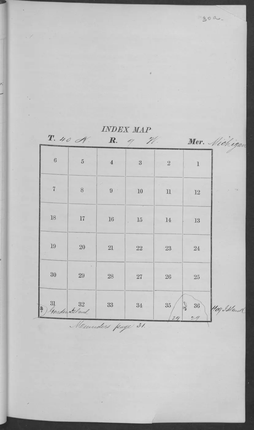
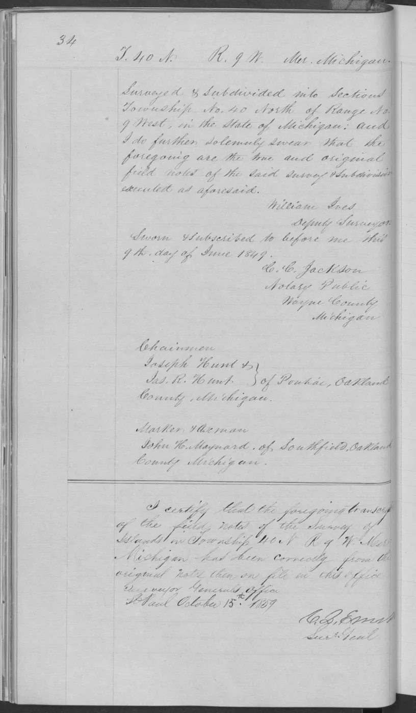
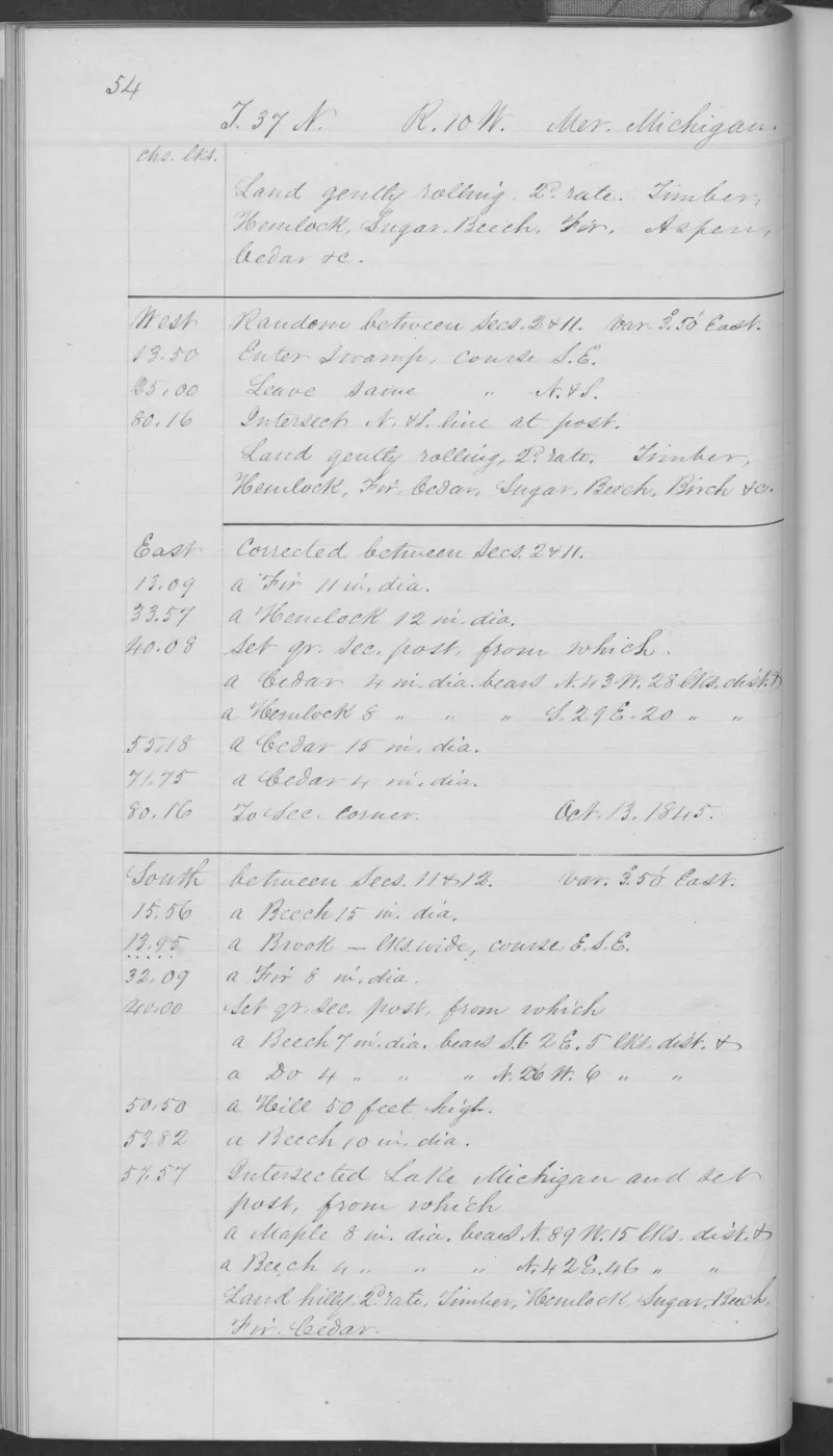
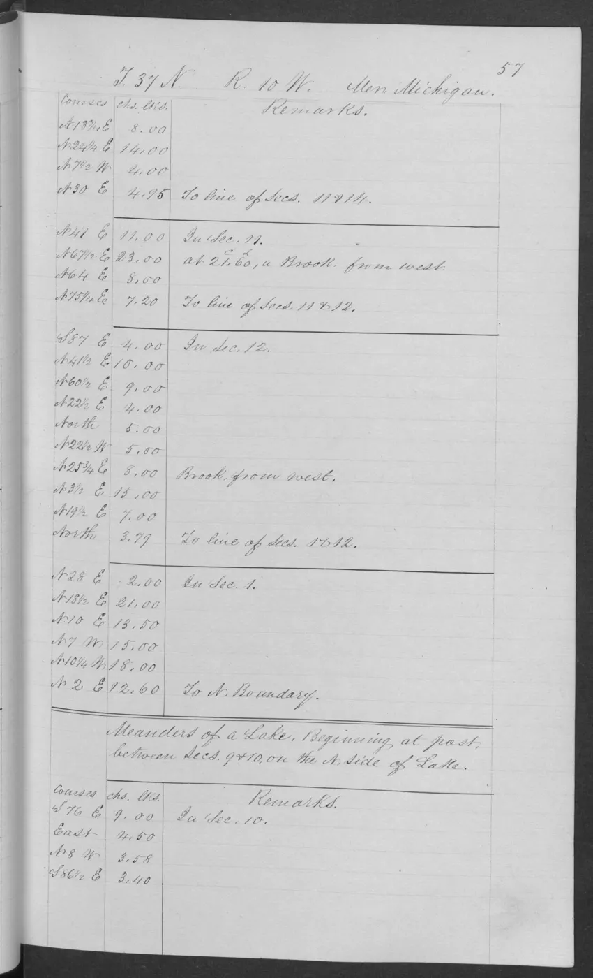
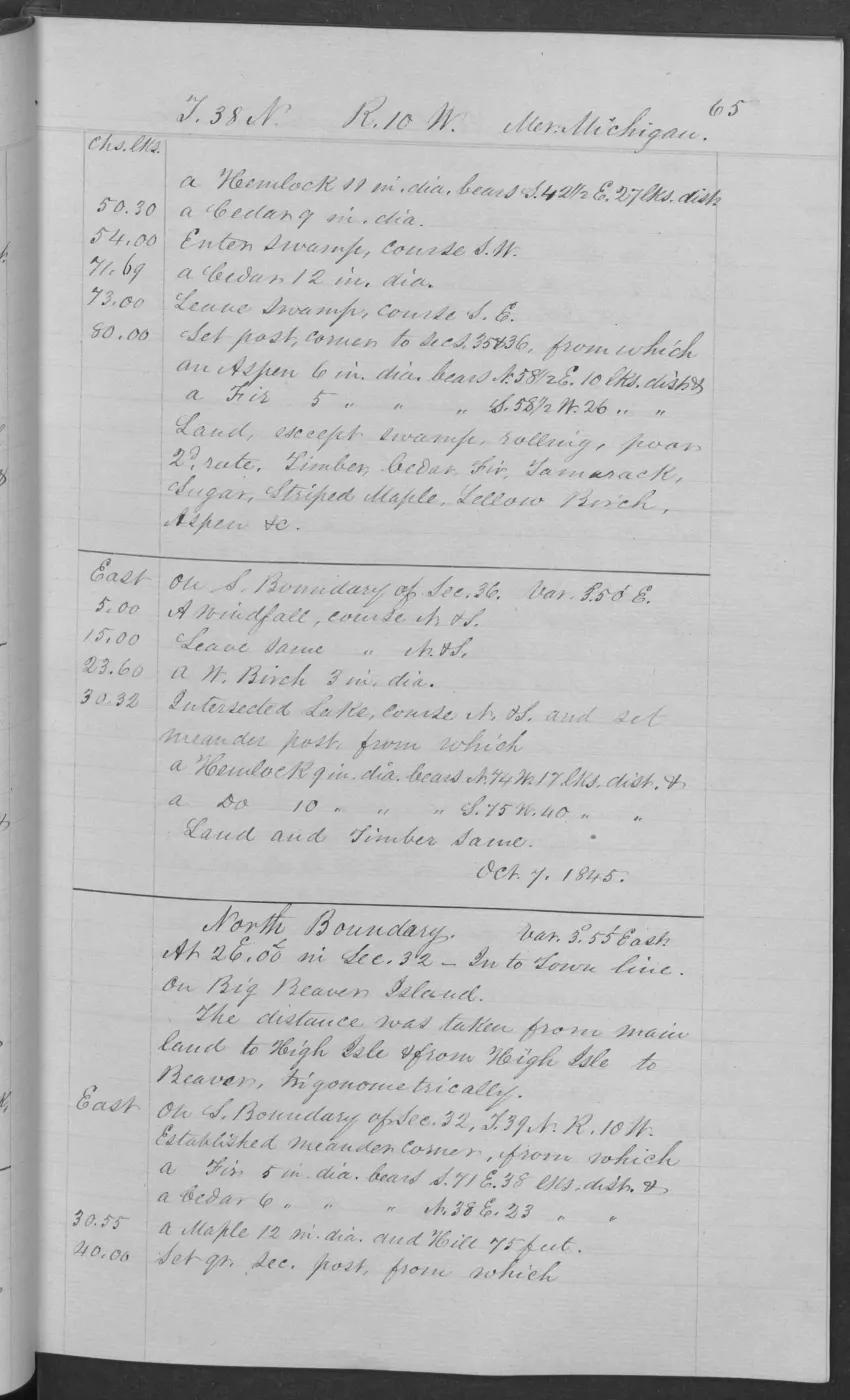
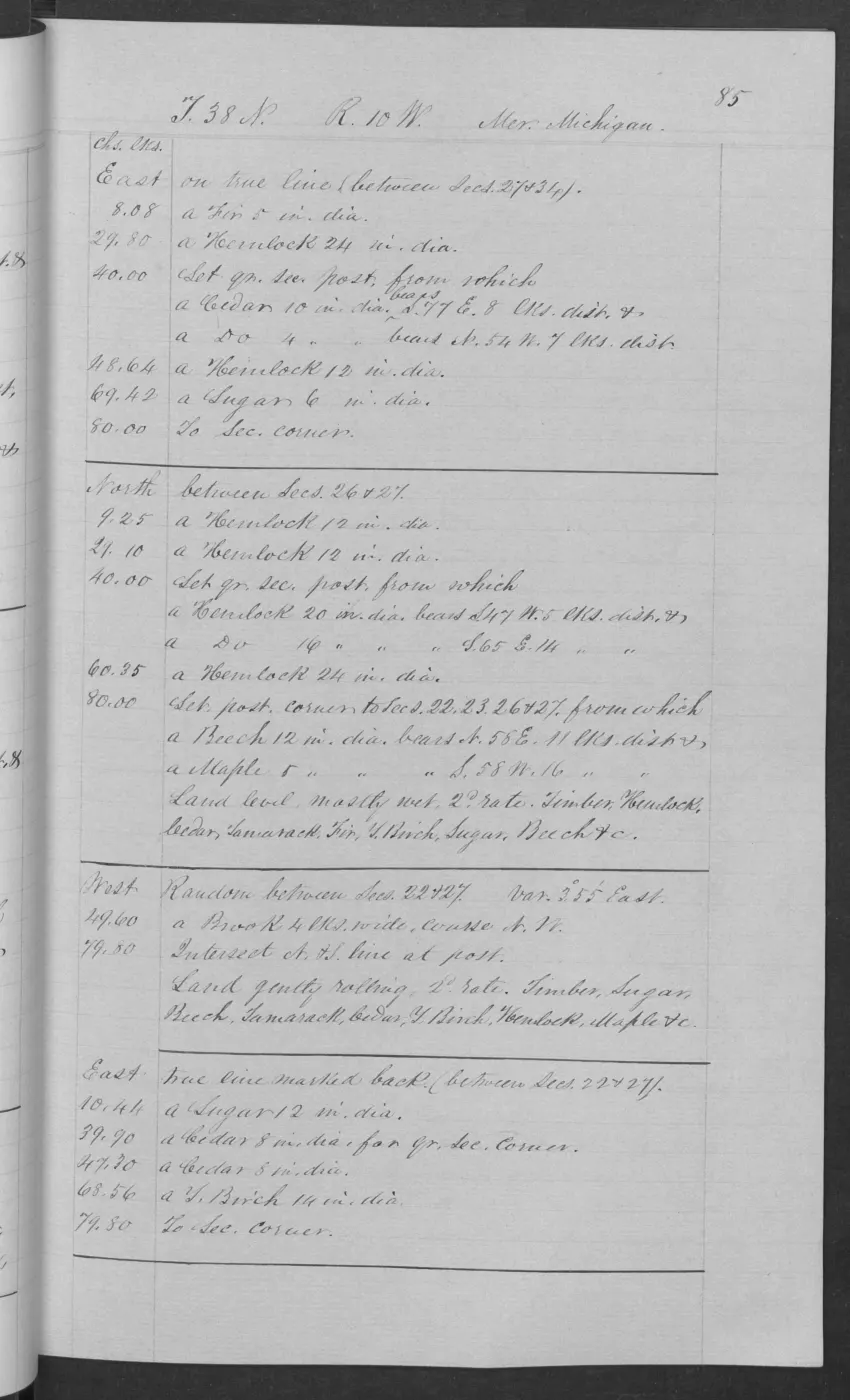
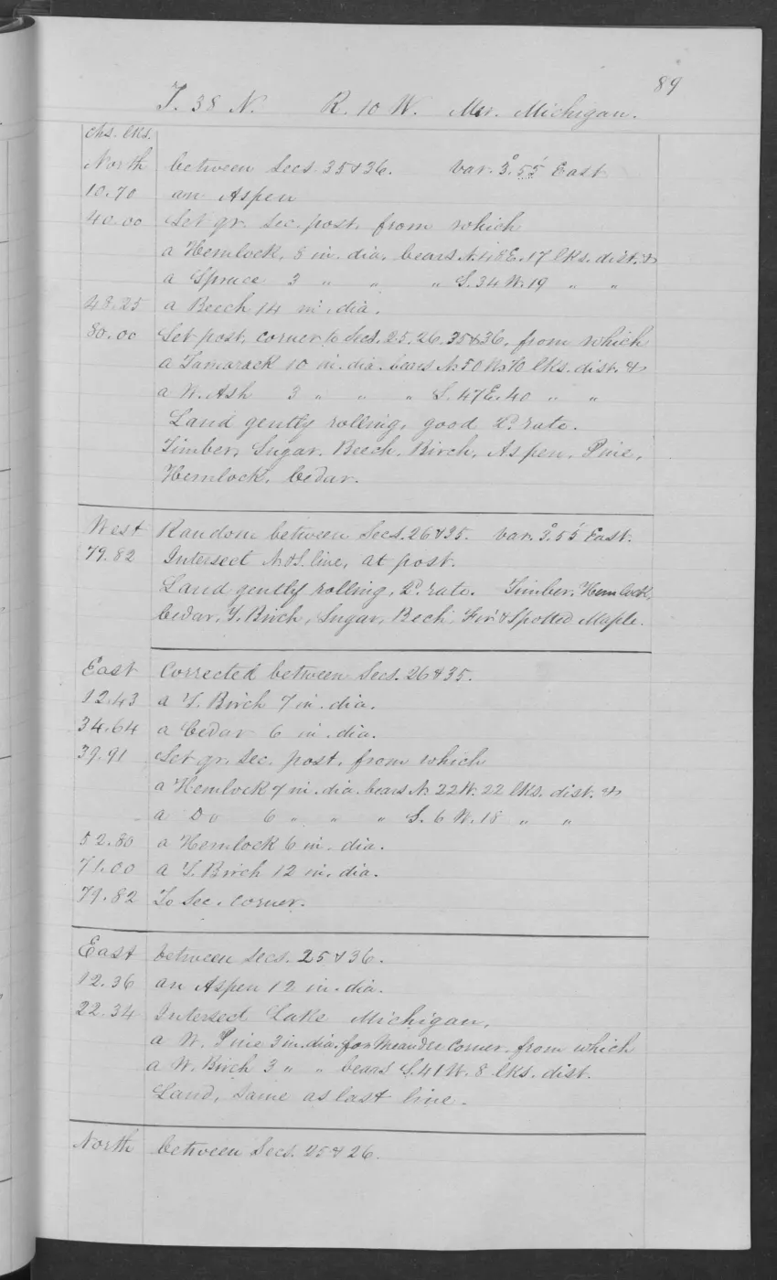
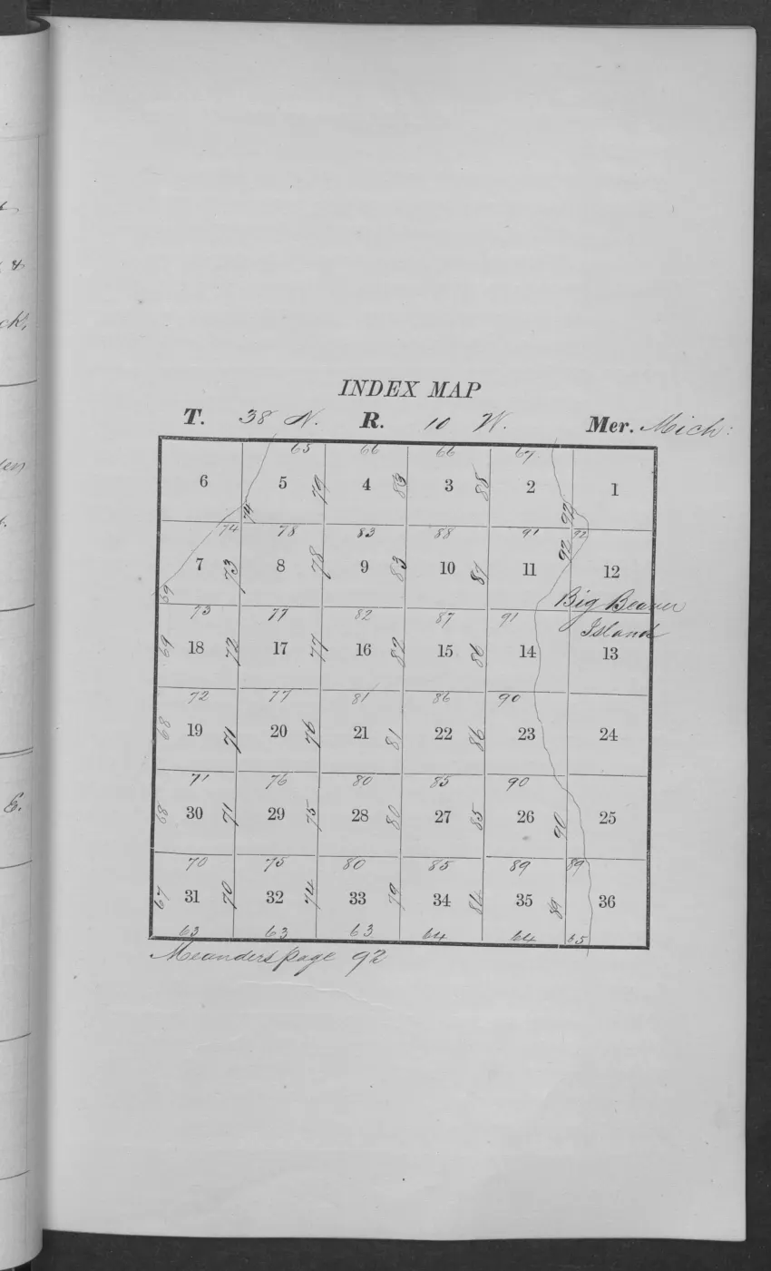
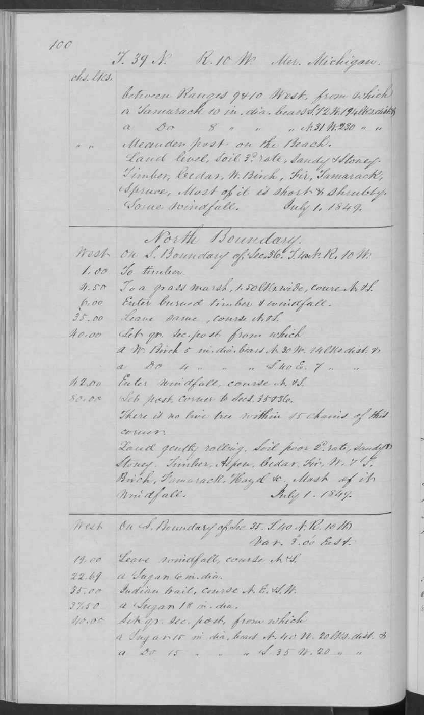
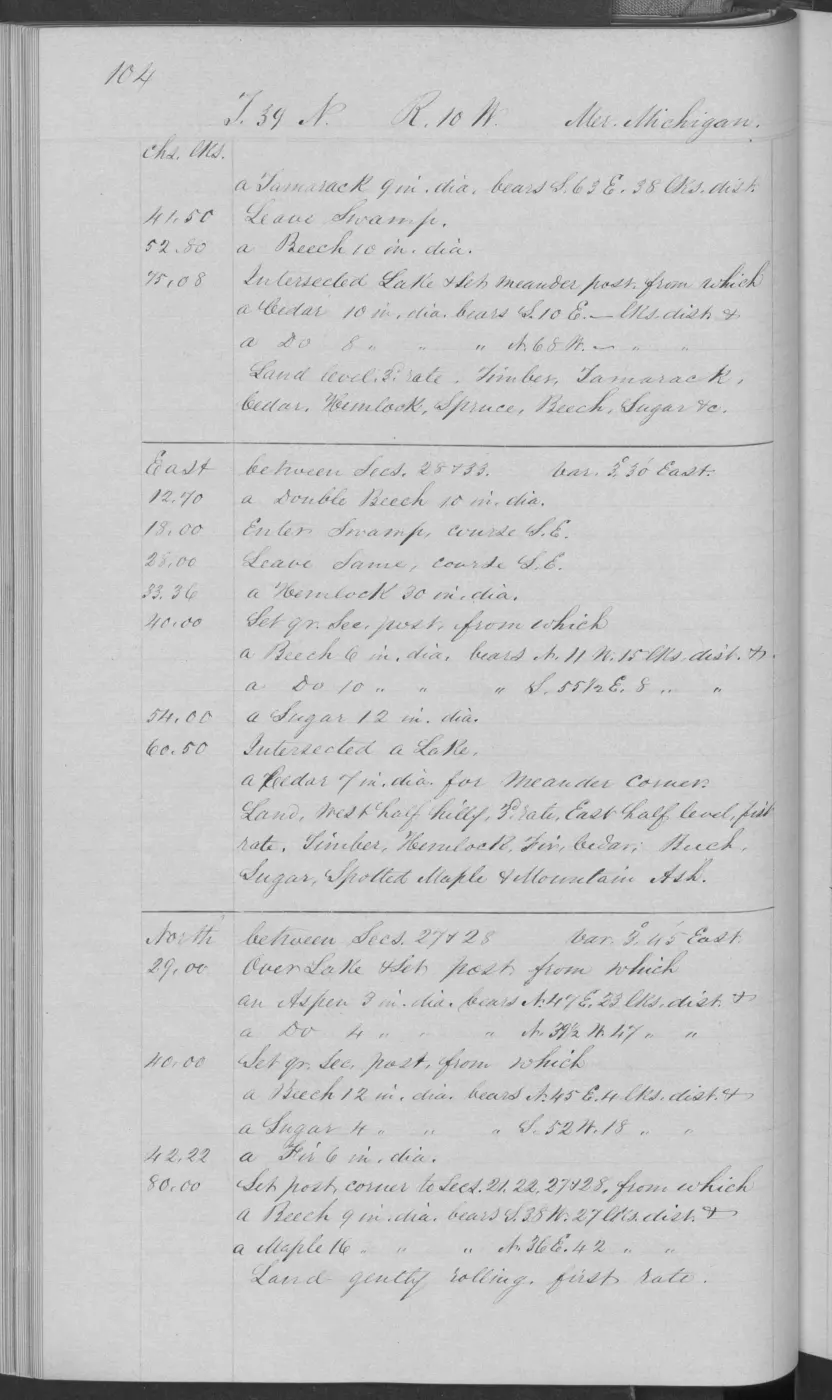
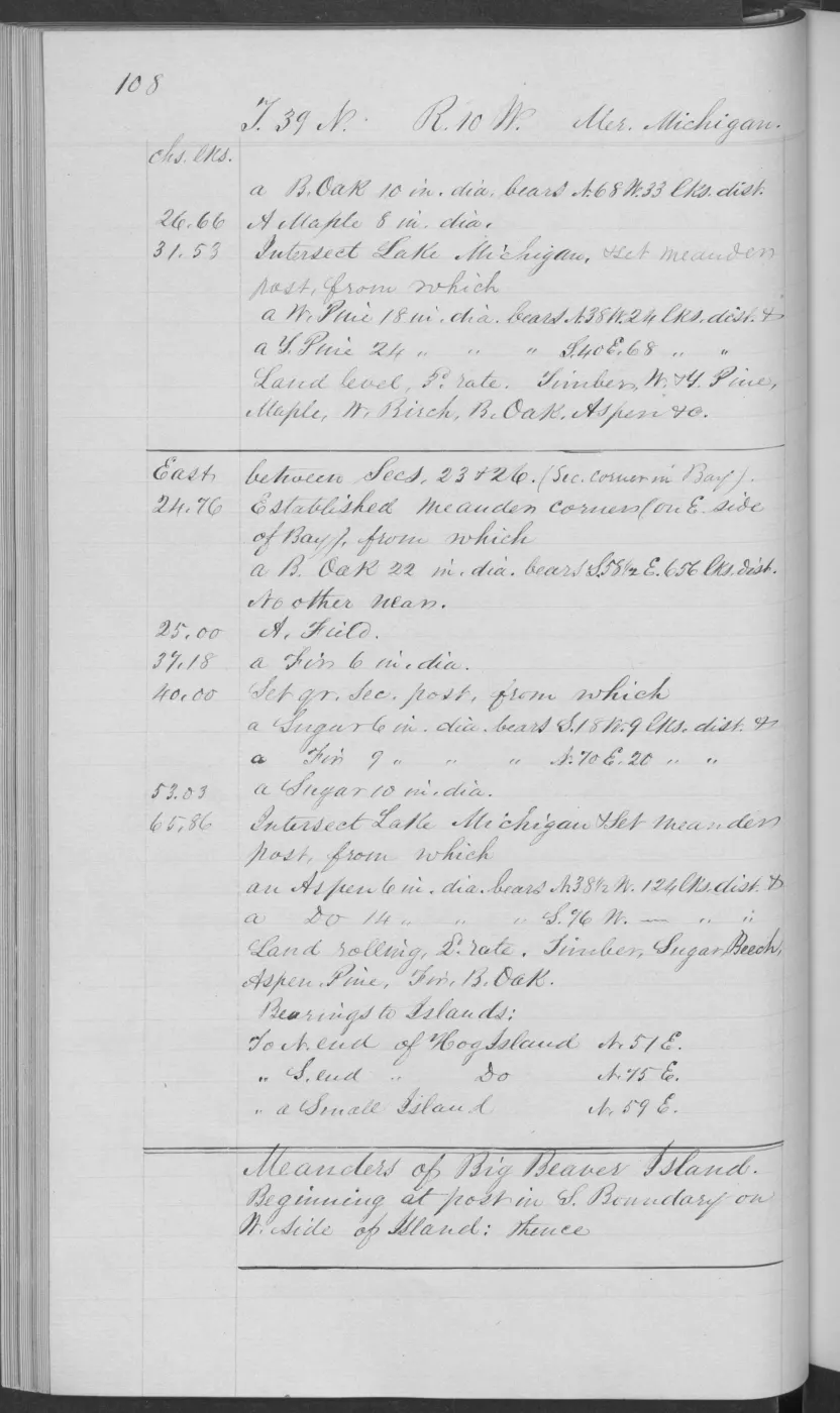
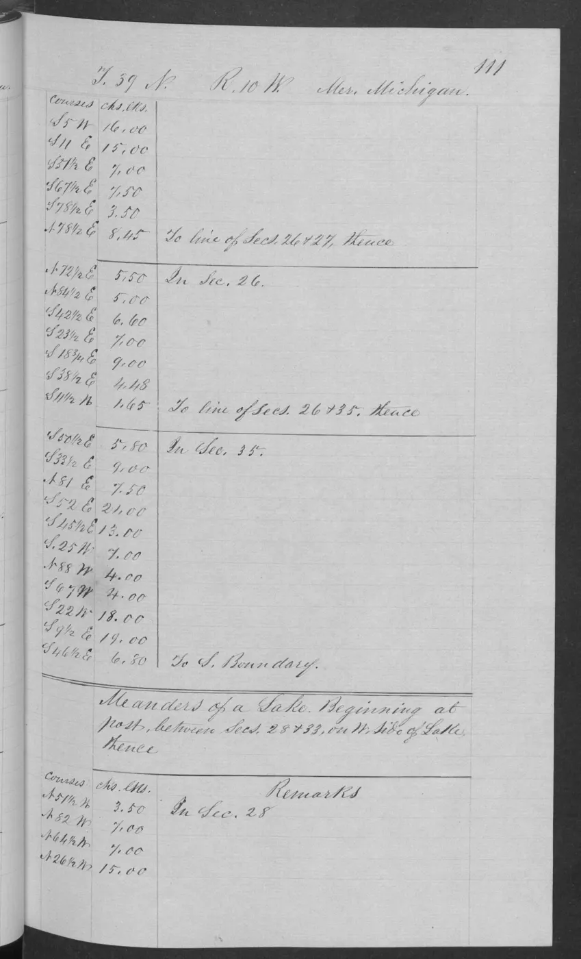
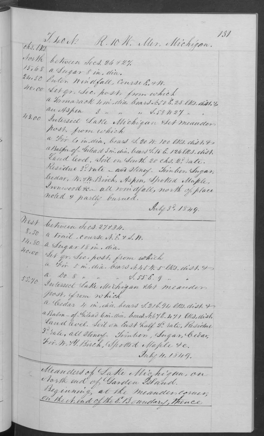
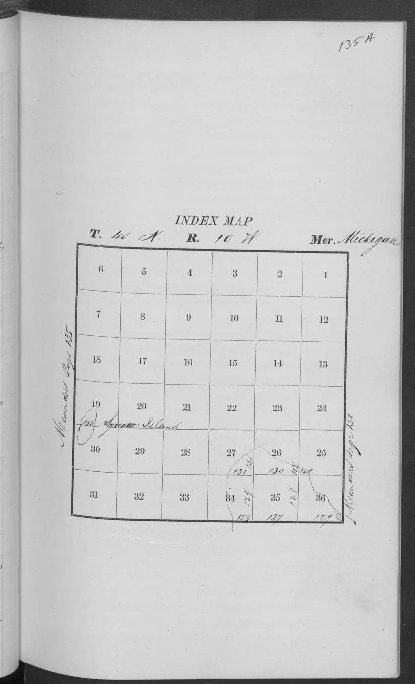
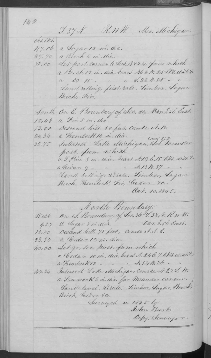
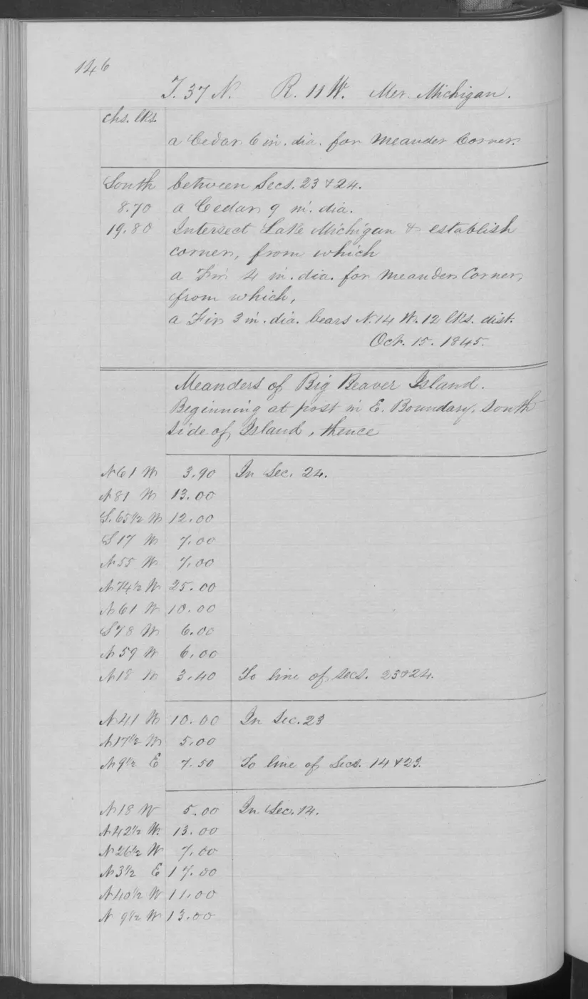
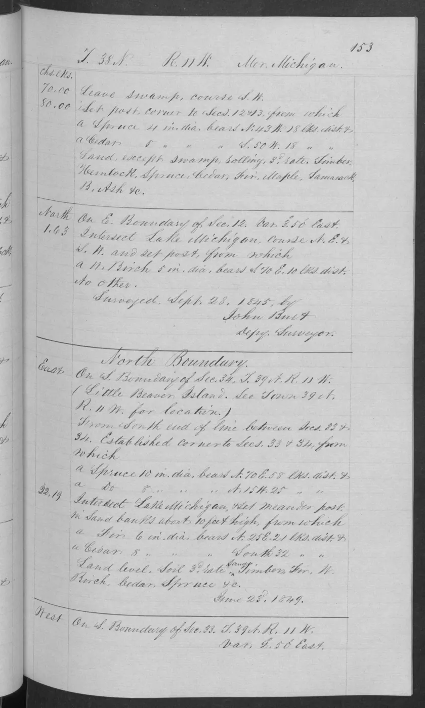
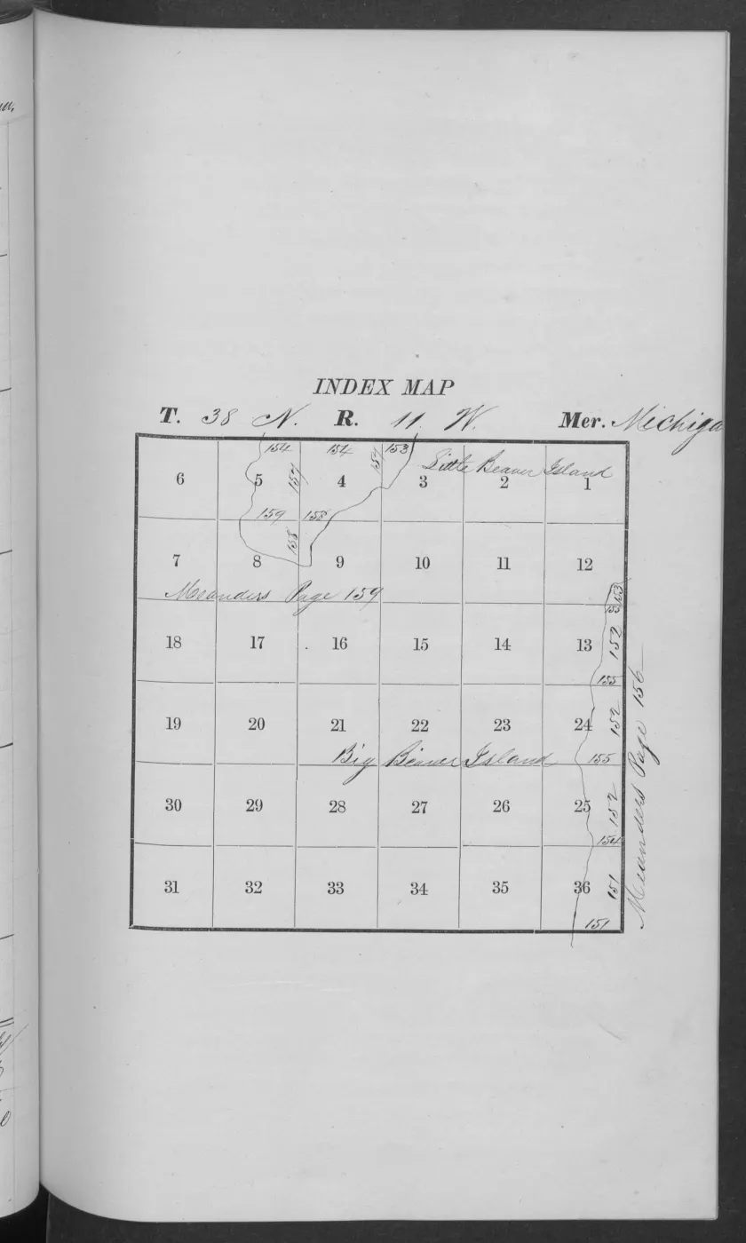
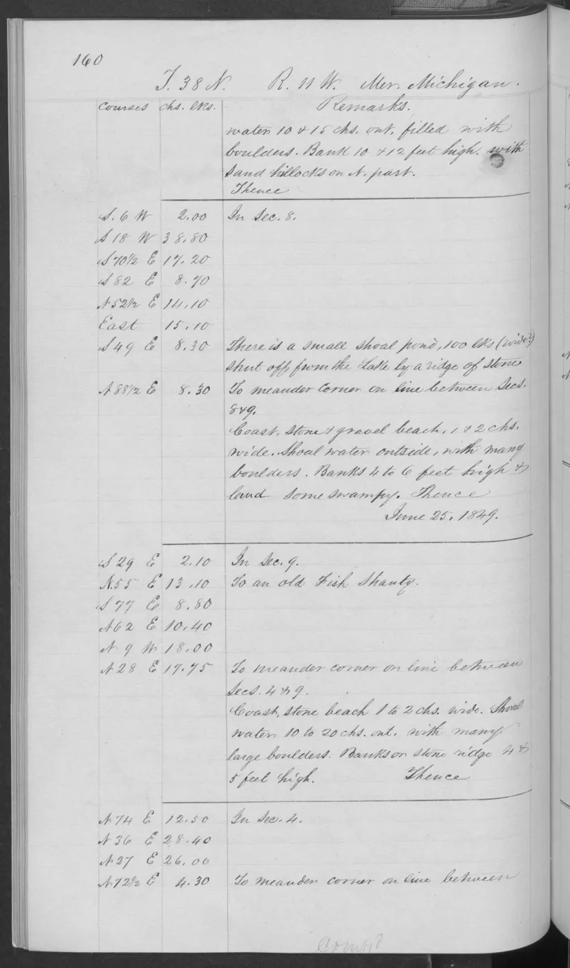
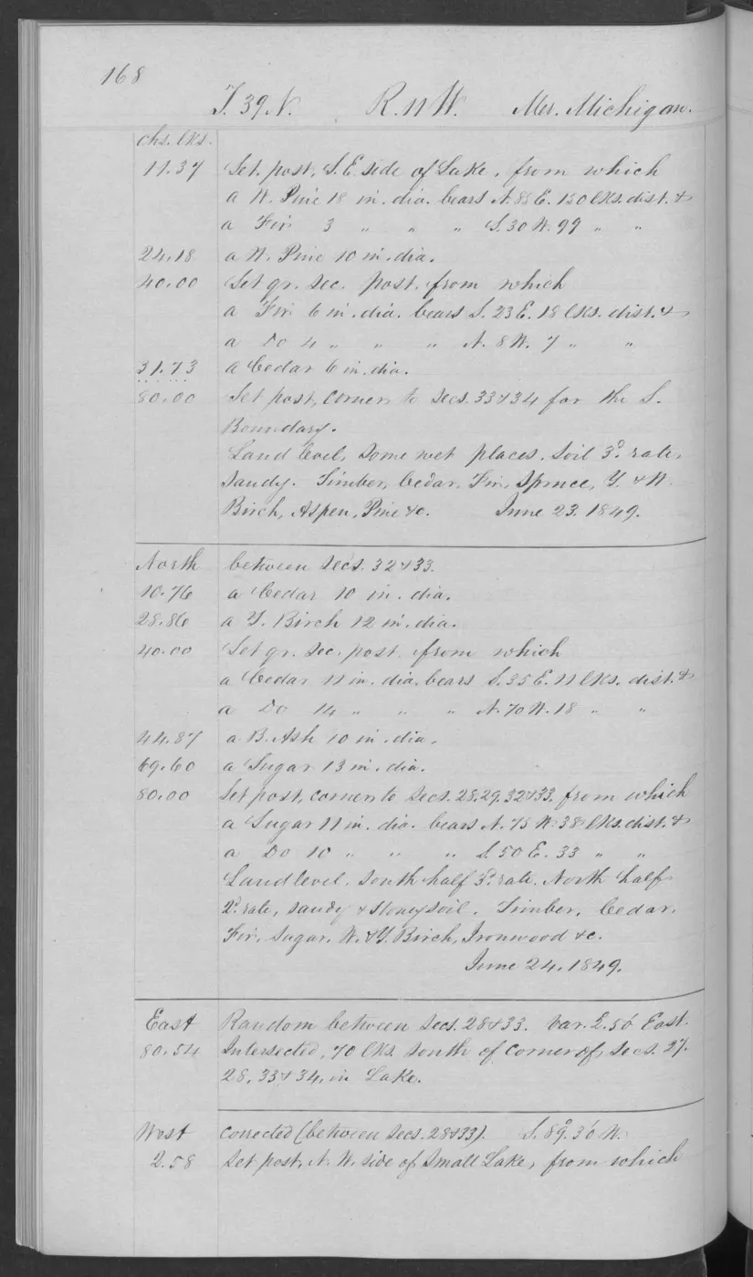
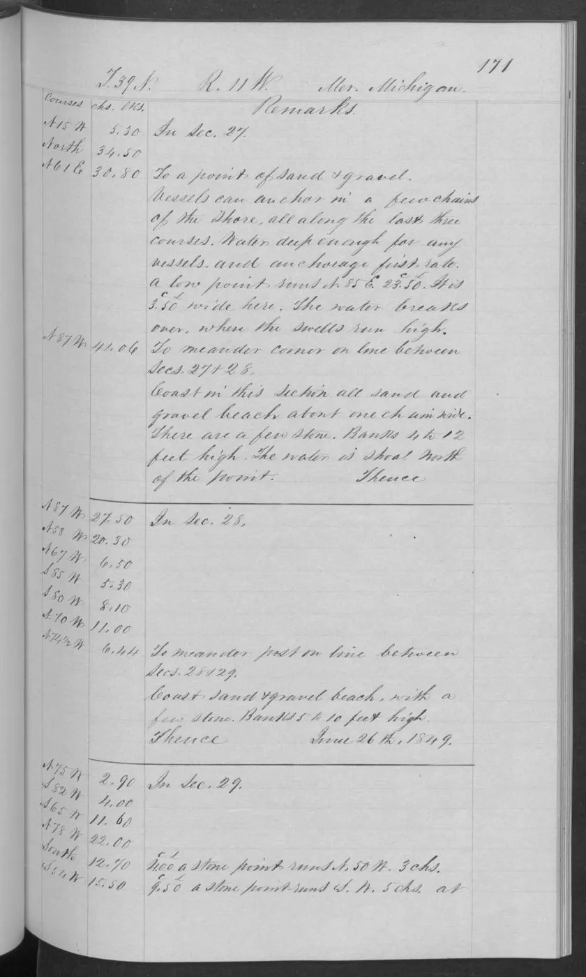
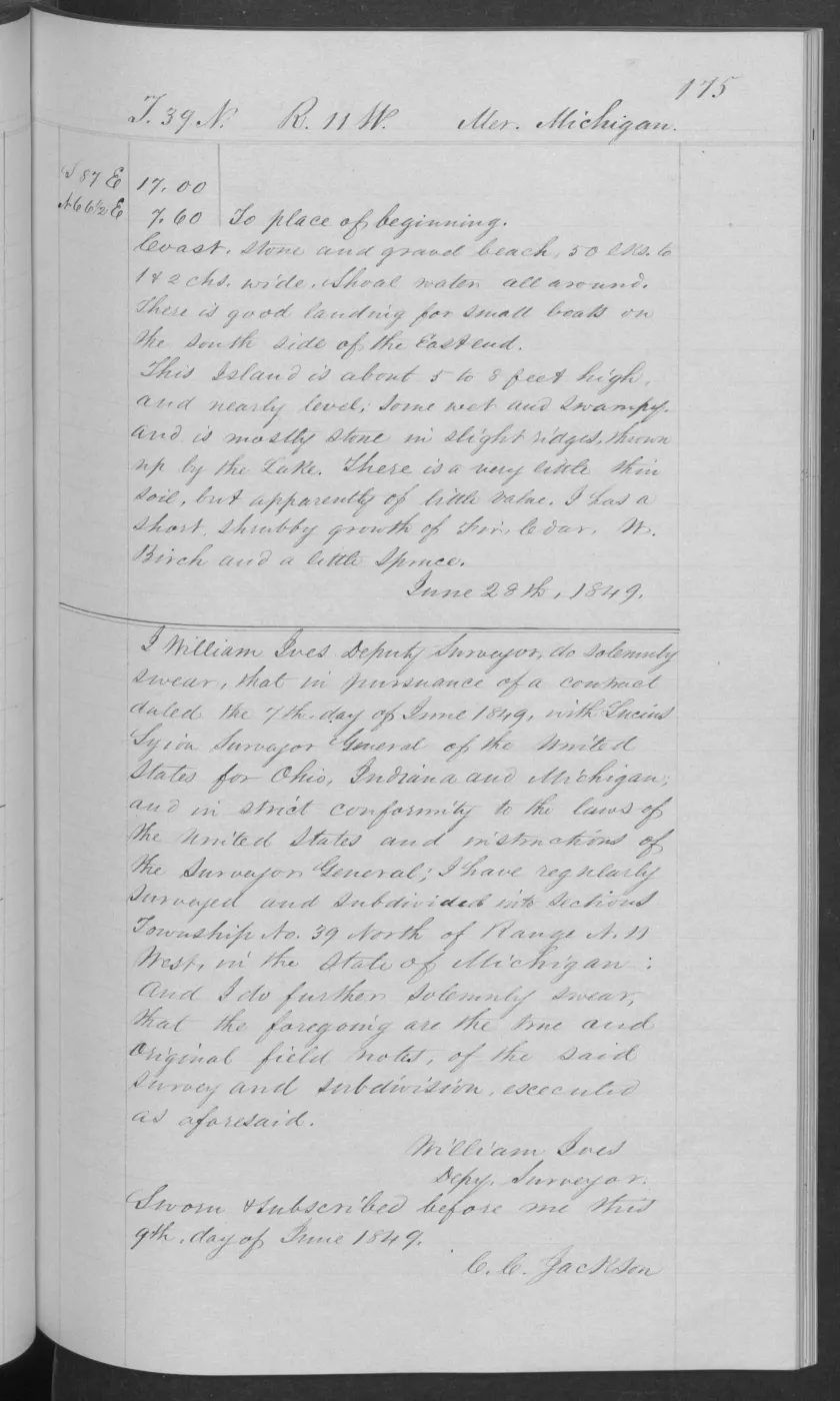
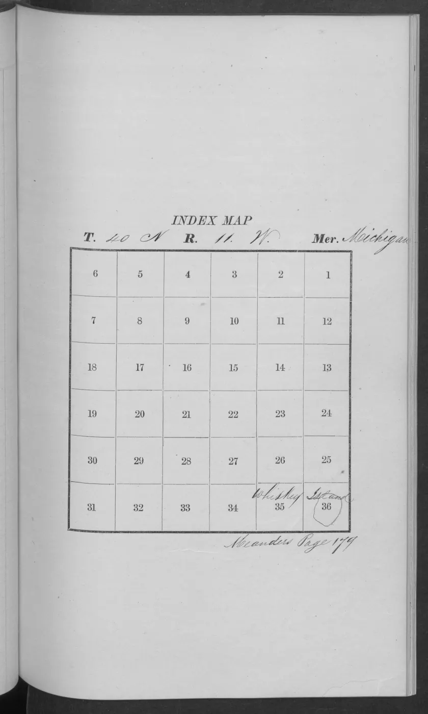
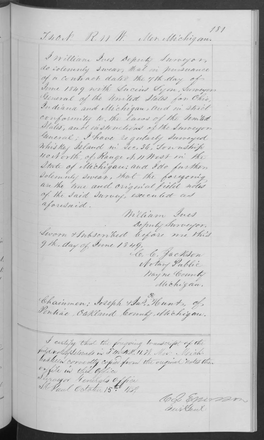
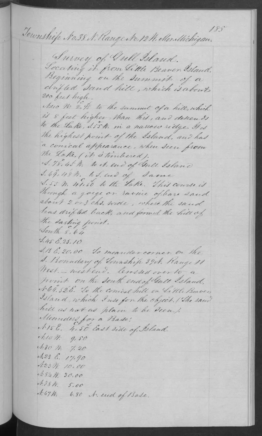
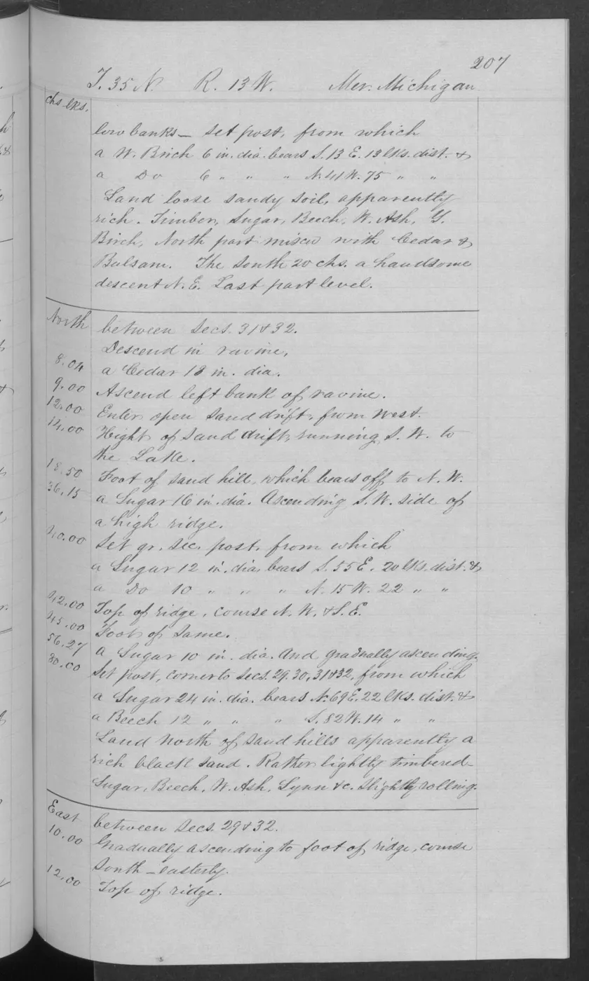
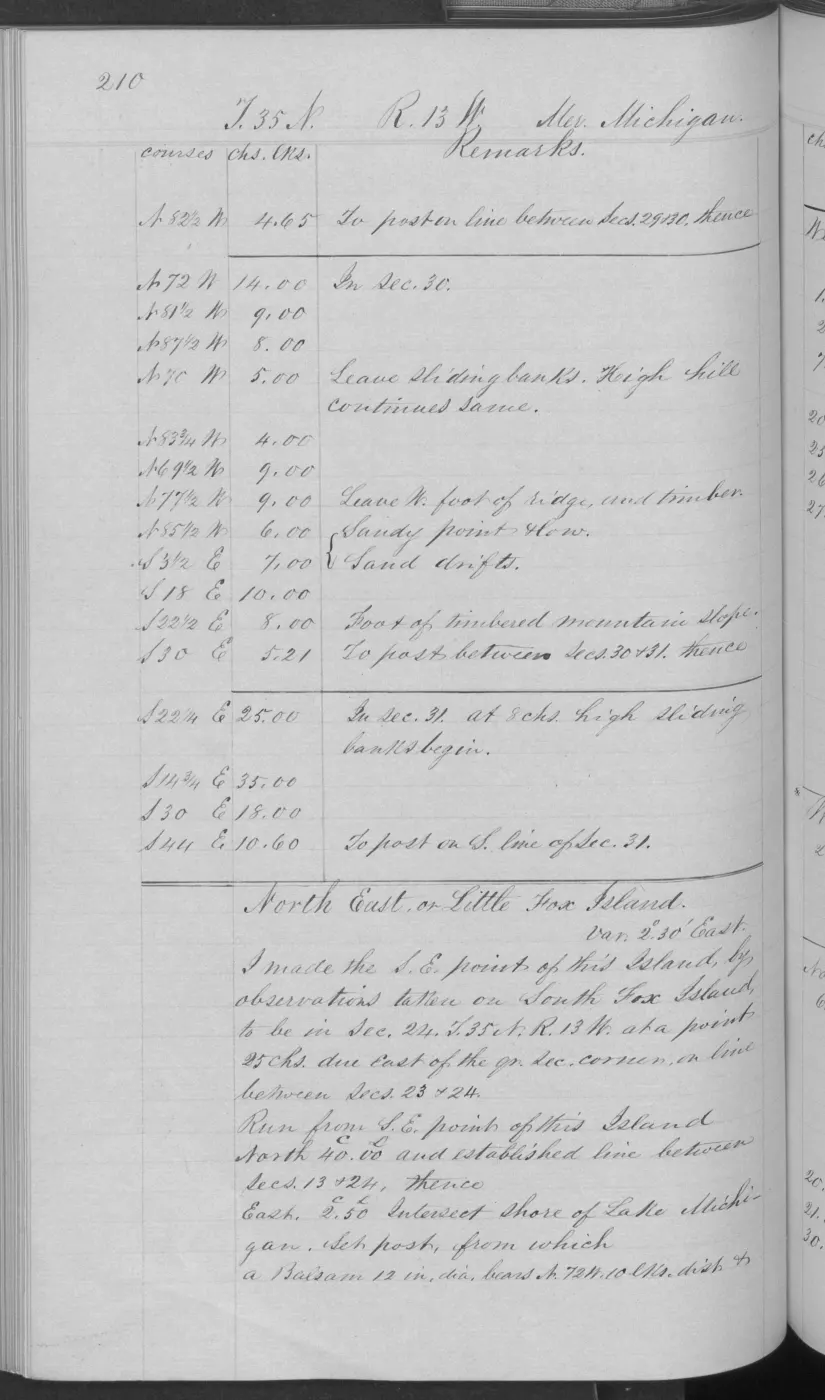
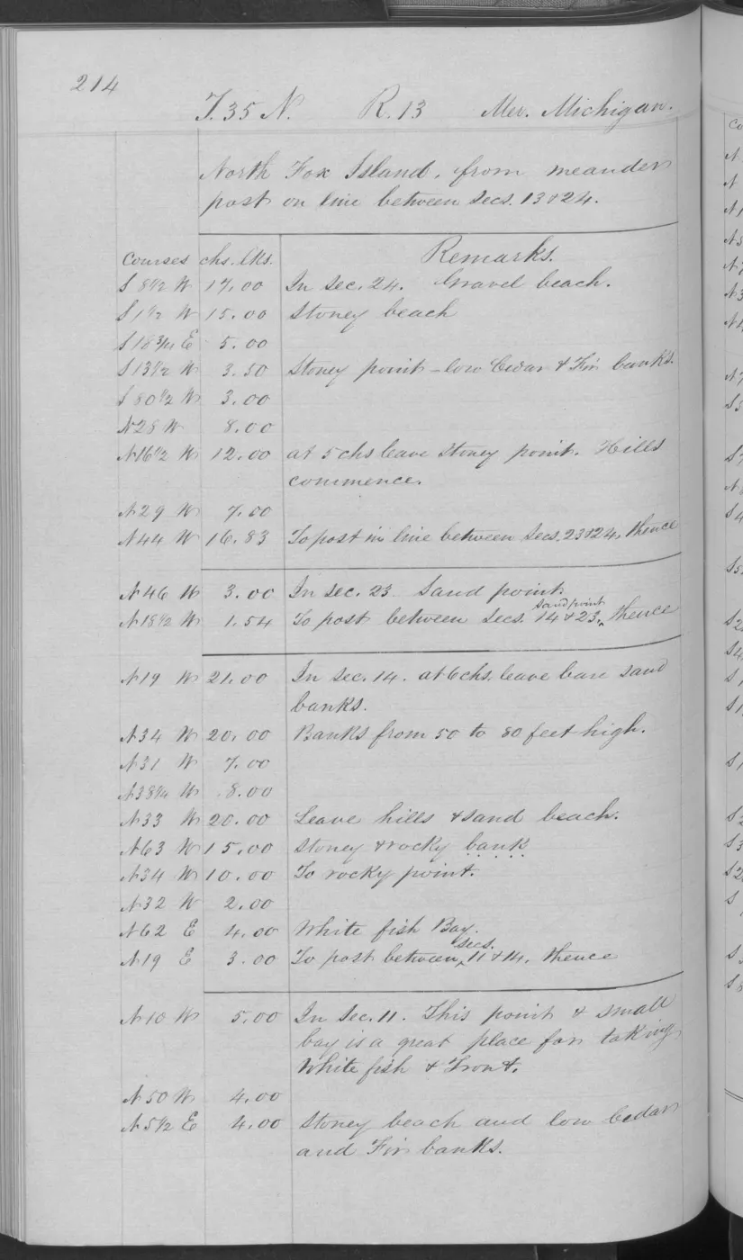
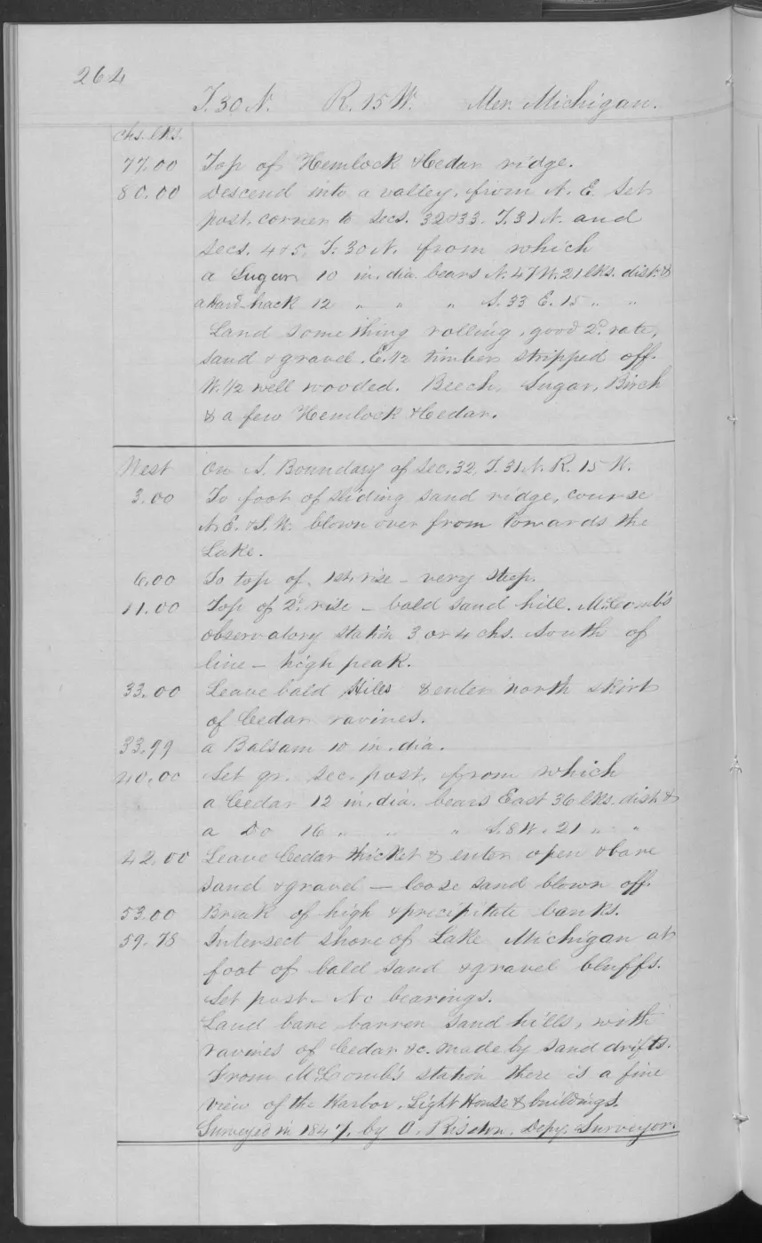
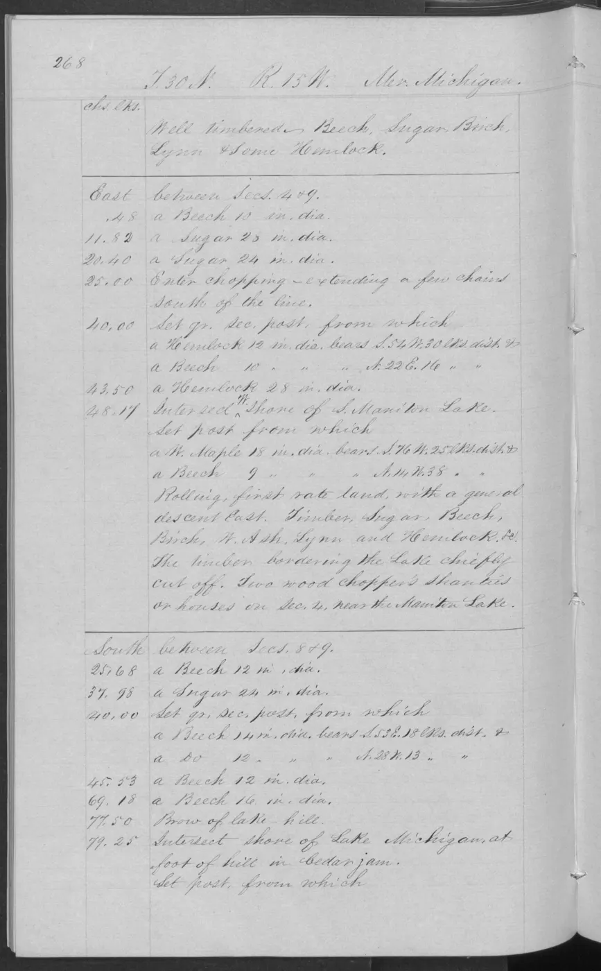
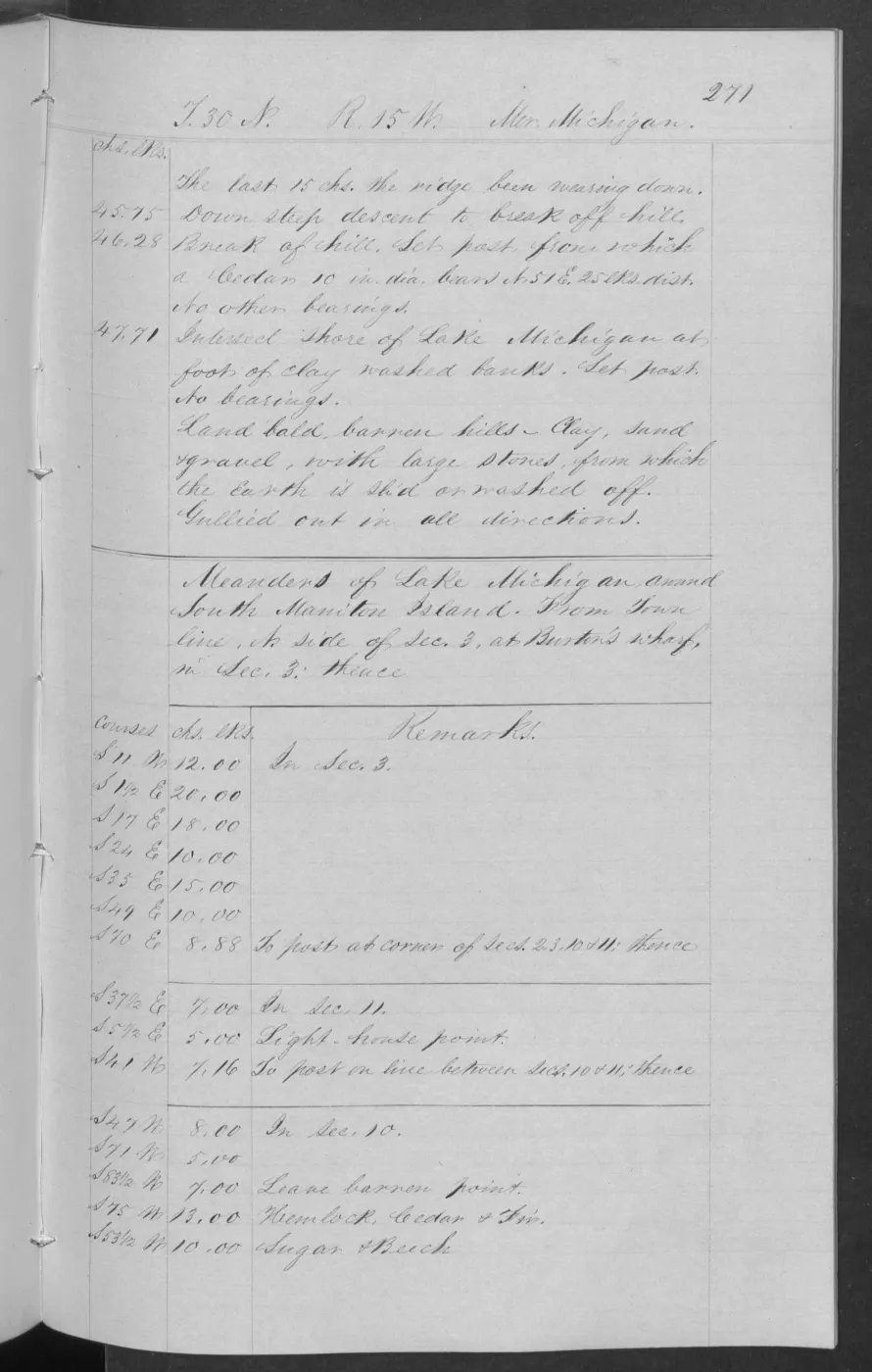
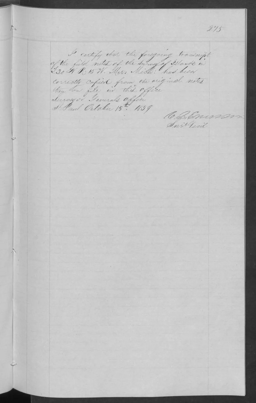
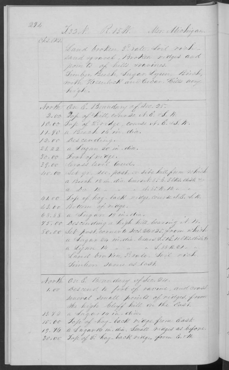
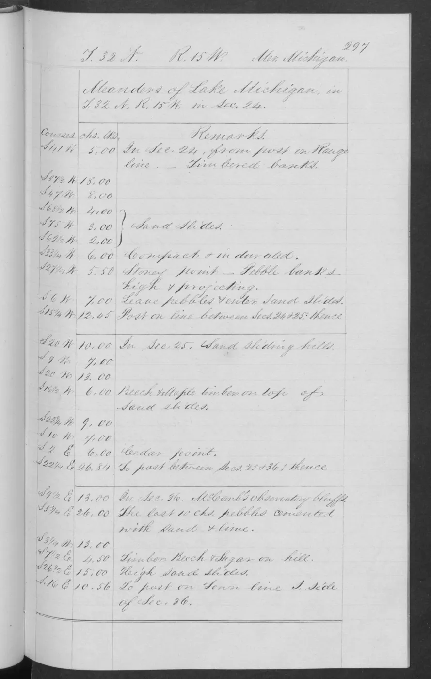
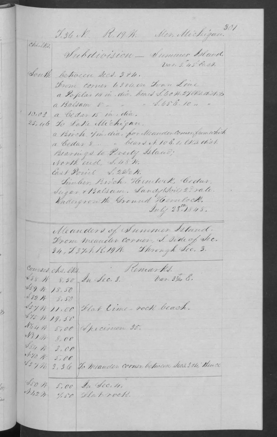
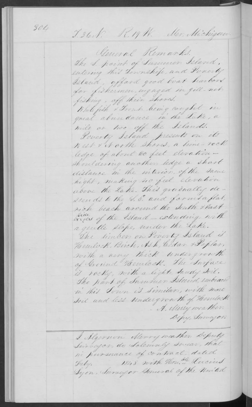
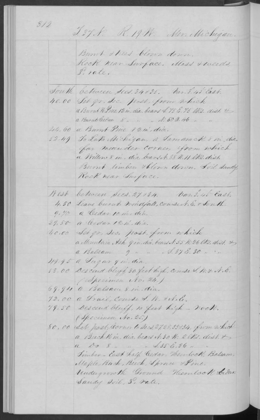
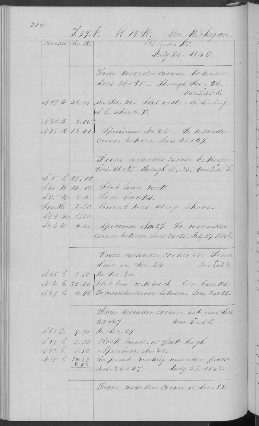
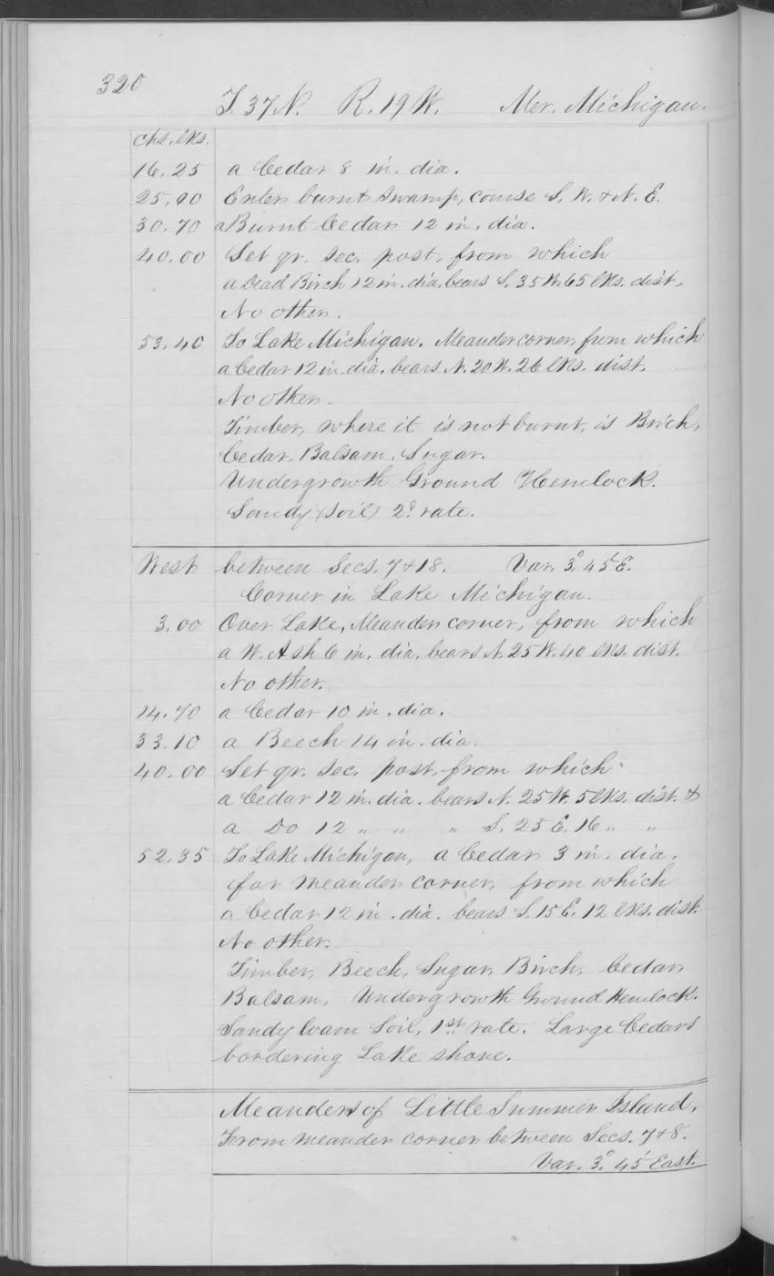
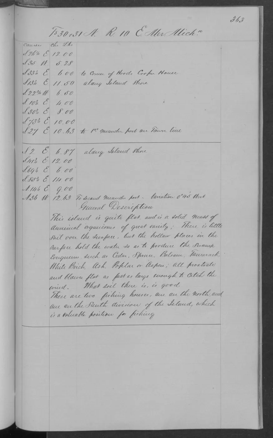
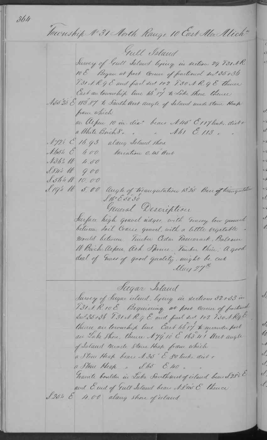
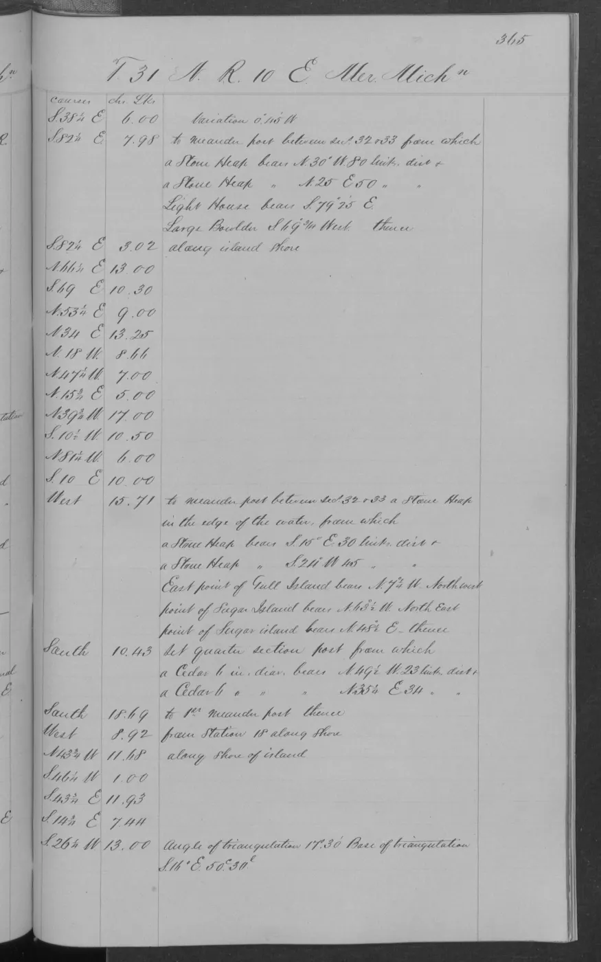
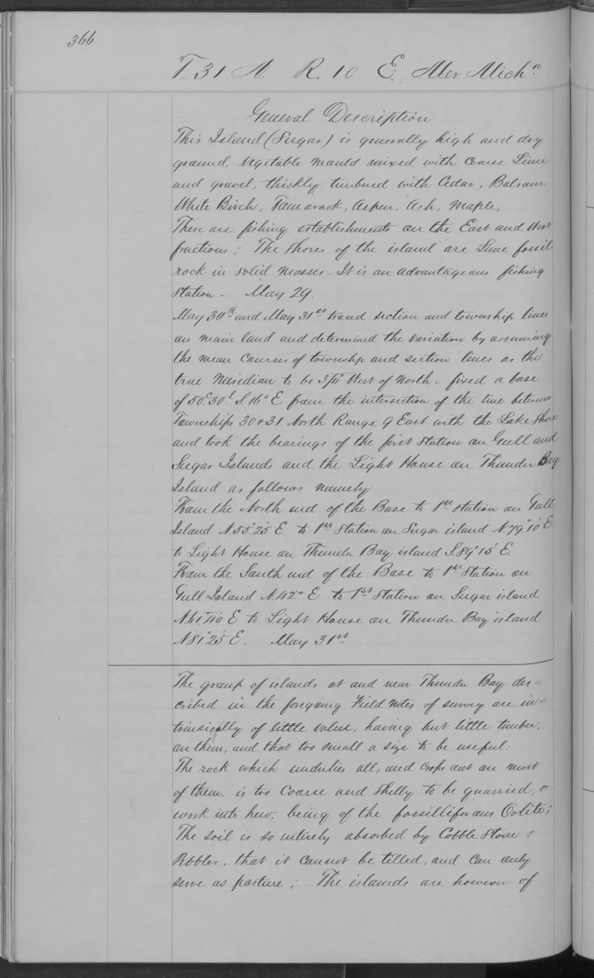
138 of 406 pages linked here — every page to 32, then every 4th, then the last 16. With JavaScript, every page.
Sources
- Described in this archive: BLM GLO field-note volumes linked to Beaver Island-area surveys.Visual page-image verification. The handwritten page names Gull Island and records relief, soil, vegetation, shore shallows, small-boat landing places, and the surveyor's report that whitefish were the most common catch. It is a page-bounded 1849 observation, not a whole-island inventory, continuous fishery history, ownership, title, access, or present-condition record.federal · glo_field_notes · page_evidence · field-note-volume-168138-page-0189-gull-island-general-description
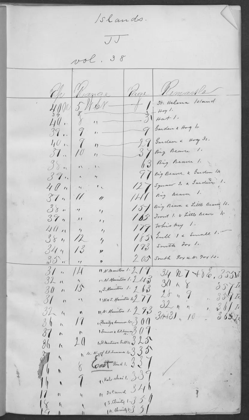
- The held 406-page public-domain volume supplies the source-page context. This article treats only page 0189 as checked evidence. The holder's public portal is searchable but does not link this record directly; the archive holds a copy of the file and can provide it on request.federal · glo_field_notes · pdfs · 3879958517549955184-field-note-volume-168138
- Visual page-image verification. The pages record a fishermen's log shanty, 15 fish houses, a few wigwams, and a surveyor-estimated 20 families and 120–150 people engaged in fishing. They do not establish identities, tribal affiliation, ownership, permanent residence, or a complete fishery census.federal · glo_field_notes · page_evidence
- Project provenance for visually checked Field Note Volume 168138, page 0189.Records the source volume/page, image derivation, and checksum for the checked page image. No public copy of this file is known; the archive holds one and can provide it on request.federal · glo_field_notes · page_evidence · field-note-volume-168138-page-0189-gull-island-general-description.provenance
Added 2 August 2026 · revised 12 August 2026. Recent changes
Cite this article
Beaver Island Archive, “GLO field-note pages: Gull Island meanders and description, 1849”, https://beaverislandarchive.org/documents/glo-field-note-gull-island-description-1849/, accessed [date], citing Bureau of Land Management, General Land Office Records, Field Note Volume 168138, p. 0189, T38N R12W, Gull Island general description, 1849. (and 3 further sources listed on the page).
Last revised 2026-08-12. Fill in [date] with the date you read it — this page is static and cannot know that.
BibTeX for “GLO field-note pages: Gull Island meanders and description, 1849”RIS for “GLO field-note pages: Gull Island meanders and description, 1849”