

- Date
- 1956-07
- Kind
- Observation
- Where
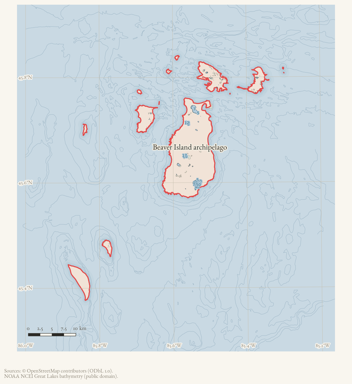
- Beaver Island archipelago
- Eras
- Modern era
- Concepts
- surveyinggeographycommunication
- Within
- Beaver Island archipelago
Summary
The July 1956 Beaver Beacon reports a U.S. Geological Survey expedition charting topographic maps of the Beaver Island group and the Manitou Islands. M. V. Thompson and C. C. Juhre are named in connection with the field and Traverse City operations.
Evidence and limits
The article documents the newspaper’s report of a mapping expedition and expected future map availability. It does not provide field notebooks, sheet identifiers, survey control, or publication evidence.
Sources
- Reports a USGS crew under M. V. Thompson charting topographic maps of the Beaver Island group, with part of the expedition based in Traverse City under C. C. Juhre, and says North and South Manitou Islands were also being mapped. It anticipates maps being available in about a year but does not provide field notebooks, sheet identifiers, survey control, or publication evidence. The holding institution's portal restricts automated access; the archive holds a copy of this issue and can provide it on request.data1 · beaver-island-archive · beaver_beacon · 1956-07_Beaver-Beacon
- The held five-page issue scan is paired with the OCR source and confirms the published mapping-expedition report; it does not expand the survey or map-publication record.data1 · beaver-island-archive · scans · beaver_beacon · issues · 1956-07_Beaver-Beacon
Added 3 August 2026. Recent changes
Cite this article
Beaver Island Archive, “U.S. Geological Survey charts the Beaver Island group, 1956”, https://beaverislandarchive.org/events/beaver-island-usgs-topographic-mapping-expedition-1956/, accessed [date], citing Beaver Beacon, July 1956, “A U.S. Geological Survey.” (and 1 further source listed on the page).
Last revised 2026-08-03. Fill in [date] with the date you read it — this page is static and cannot know that.
BibTeX for “U.S. Geological Survey charts the Beaver Island group, 1956”RIS for “U.S. Geological Survey charts the Beaver Island group, 1956”