


- Coordinates
- 45.6647° N, 85.5573° WGoogle Maps: Beaver IslandDownload KML
- Eras
- French eraStrang eraIrish era
- Concepts
- environmentgeologysoilsforestsvegetationtreeswetlandswildlifebirdsconservationtoponymyStrang eraIrish eraforests
- Within
- Beaver Island archipelago
- Media
- Access and infrastructure of the Beaver Island archipelago · Beaver Island access and infrastructure · Beaver Island coasts, harbors, and navigation context · Beaver Island environmental detail — Northeast · Beaver Island environmental detail — Northwest · Beaver Island environmental detail — Southeast + 30 more
Summary
Beaver Island is the largest island in Lake Michigan and the largest member of the Beaver Island archipelago, with a land area of 150.96 km² computed in EPSG:3078 (Michigan GeoRef) — roughly three-quarters of the archipelago’s combined 199.62 km². It lies in northern Lake Michigan within Charlevoix County, Michigan, and is the seat of both civil townships that cover it, Township of Saint James and Township of Peaine. The island was the site of James Jesse Strang’s Latter Day Saint settlement (from 1847) and self-declared kingdom (from 1850 until 1856), and afterward became predominantly an Irish fishing community, largely from Arranmore, County Donegal — a history recorded in the island’s principal harbor village, Saint James.
History
French-era charts recorded the island as Isle du Castor (“Beaver Island”), the
origin the GNIS record’s former_names field preserves. In 1847 the Michigan
legislature organized the whole archipelago — not the main island alone — into the
Township of Peaine, per a contemporary account of the Mackinac–Mormon
controversy.1 James Jesse Strang landed with the first recorded Mormon
settlers in 1847. His followers expanded the settlement from 1848, renamed the
harbor village Saint James, and held a coronation in 1850; the settlement ended
with Strang’s assassination in June 1856 and the expulsion of his followers.
Post-expulsion settlement was increasingly dominated by Irish
immigrants, largely from Arranmore, County Donegal (era-irish), alongside the
pre-existing Irish presence, and by commercial fishing and, later, lumbering of the
island’s hardwood forest.
St. James and Peaine townships together are exactly coextensive with the island, so their combined census counts are the island’s: 551 residents in 2000, 657 in 2010, and 525 in 2020.2 Earlier counts, back to 792 in 1900, are set out in the demography survey.
The 2019-2023 American Community Survey gives a higher combined figure, 752, alongside 578 of 966 housing units recorded as vacant. The two do not contradict each other. The decennial census counts usual residents; the survey is an estimate with wide margins at this population size; and the vacancy figure reflects a large stock of seasonal and summer houses rather than depopulation on that scale — the island’s winter and summer populations are different populations, and no single number describes both. The same survey puts the median age at 59.5 in St. James and 66.1 in Peaine.
Wildlife-management reports show a later history of deliberate stocking and seasonal regulation. A July 1938 report says deer hunting reopened after a decade-long closure, following the placement of 17 deer in 1927 and 1928 and a game-division investigation that estimated about 500 deer without signs of over-browsing.3 An October 1950 report describes a strong St. James perch run, a renewed bird-hunting season for introduced sharp-tail grouse, closed seasons for some other game, and a planned state observation and survey to guide the next year’s regulations.4 These are contemporary newspaper reports and management intentions, not complete population or harvest series.
A June 1945 feature adds a contemporary glimpse of the island’s wartime-era community and conservation work. It describes a scheduled fish-net inspection patrol from Charlevoix, a 75-foot diesel craft, the Saint James dock and Shamrock Inn, and a South Bend ex-newspaperman named George Stephenson who was reported to have a log cabin on Sandy Bay.5 The feature is a travel and human-interest account; its population, ethnic, climate, and fishing descriptions are not treated as complete quantitative history.
Agricultural extension work is also documented in August 1932. P. J. Rood and county agent B. C. Mellencamp collected 21 soil samples, examined subsoil, and planned five alfalfa fertilizer trials with five cooperating farmers. The report also says a soils map plotting farms and soil types was left with Father McLaughlin.6 This is evidence of a field project and planned experiments, not a surviving yield or soil-analysis series.
A July 1937 county-agent report describes a related dairy-improvement visit to four bull-association animals on Beaver Island. It says four purebred Shorthorn bulls had been placed there in 1935, that their offspring already showed more type and quality, and that the associations planned to rotate the bulls to extend their service.7 The source does not name the associations, farmers, or animals, and the planned rotation is not treated as a completed transaction.
The June 1941 county newspaper announced the second County Agents Summer Conference on Beaver Island for June 23–24. It expected about 60 extension workers and their wives, with an island tour and a St. James Town Hall party; the King Strang Hotel was named as headquarters.8 The report preserves the planned conference, not its attendance or proceedings.
The April and May 1955 Beaver Beacon document the launch of a new island ferry, the Emerald Isle. It arrived from Sturgeon Bay on April 21, made its maiden voyage to Charlevoix that afternoon, and was publicly christened at Saint James on April 23.9
A May 1945 report records a weekend East Jordan FFA outing on Beaver Island. Seven boys and teacher L. B. Karr camped there May 6–7, playing baseball, seeing a picture show, fishing, and cooking; the party returned on the Mary Margaret.10 The report names the participants but does not supply their full identities, the campsite, or the vessel’s technical history.
A November 1951 report announced that Governor G. Mennen Williams would present the Beaver Island Game Club a National Conservation Award at the annual Hunters Ball on November 17. The same report retrospectively dates the club’s wildlife stocking program to 1922 and lists pheasants, squirrels, deer, sharp-tail grouse, ruffed grouse, and cottontail rabbits through 1950.11 Its deer count and chronology differ from the July 1938 report, so the two accounts remain separate rather than being silently reconciled.
The held orders also preserve the regulatory side of this history: a five-year deer closure beginning November 15, 1938; a two-year sharp-tailed-grouse and prairie-chicken closure beginning October 1, 1941; and a one-year cottontail rabbit closure beginning October 1, 1952.12 These are legal orders and effective dates, not complete evidence of enforcement, harvest, or stocking outcomes.
A January 1969 report gives a later winter snapshot of island dependence on the Charlevoix ferry: the Beaver Islander completed its 299th 1968 trip on December 27 with food, building materials, deer salt blocks, and supplies for a new telephone building and Catholic sisters’ home. The article estimates the year-round population at about 225, but that contemporary estimate is not a complete census.13
Geography
The island’s area, 150.96 km², was computed from the OpenStreetMap relation
boundary (osm_id relation/2202949) in EPSG:3078; published figures elsewhere give
roughly 56 square miles (≈145 km²), a close but not identical estimate reflecting a
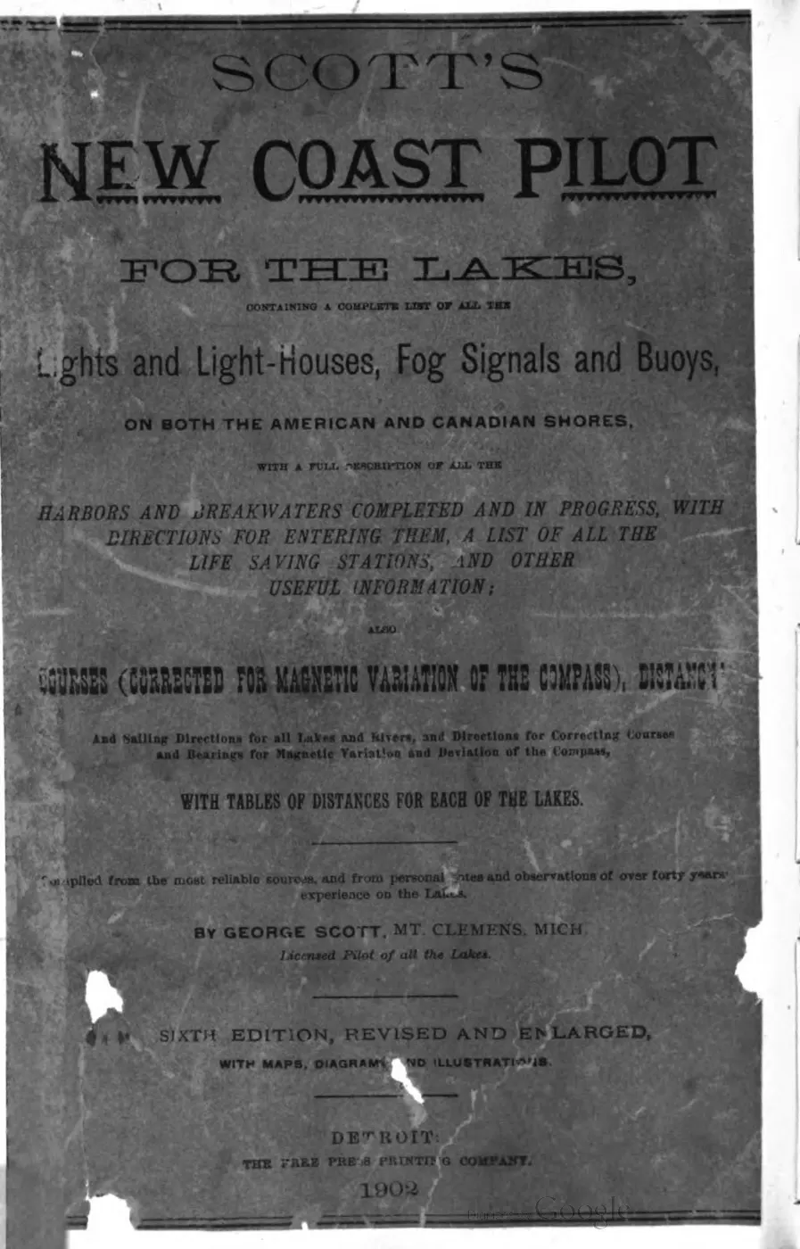
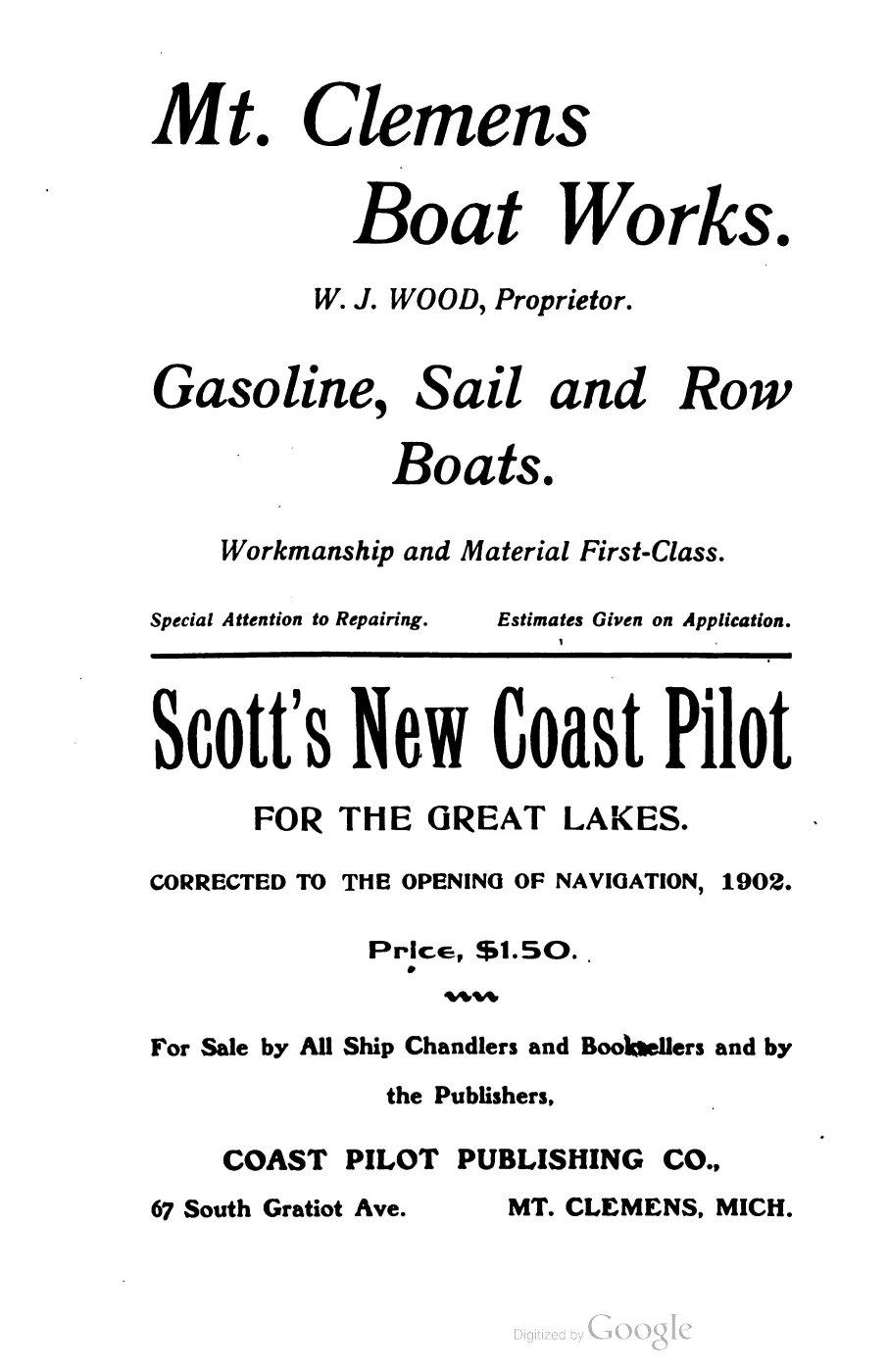
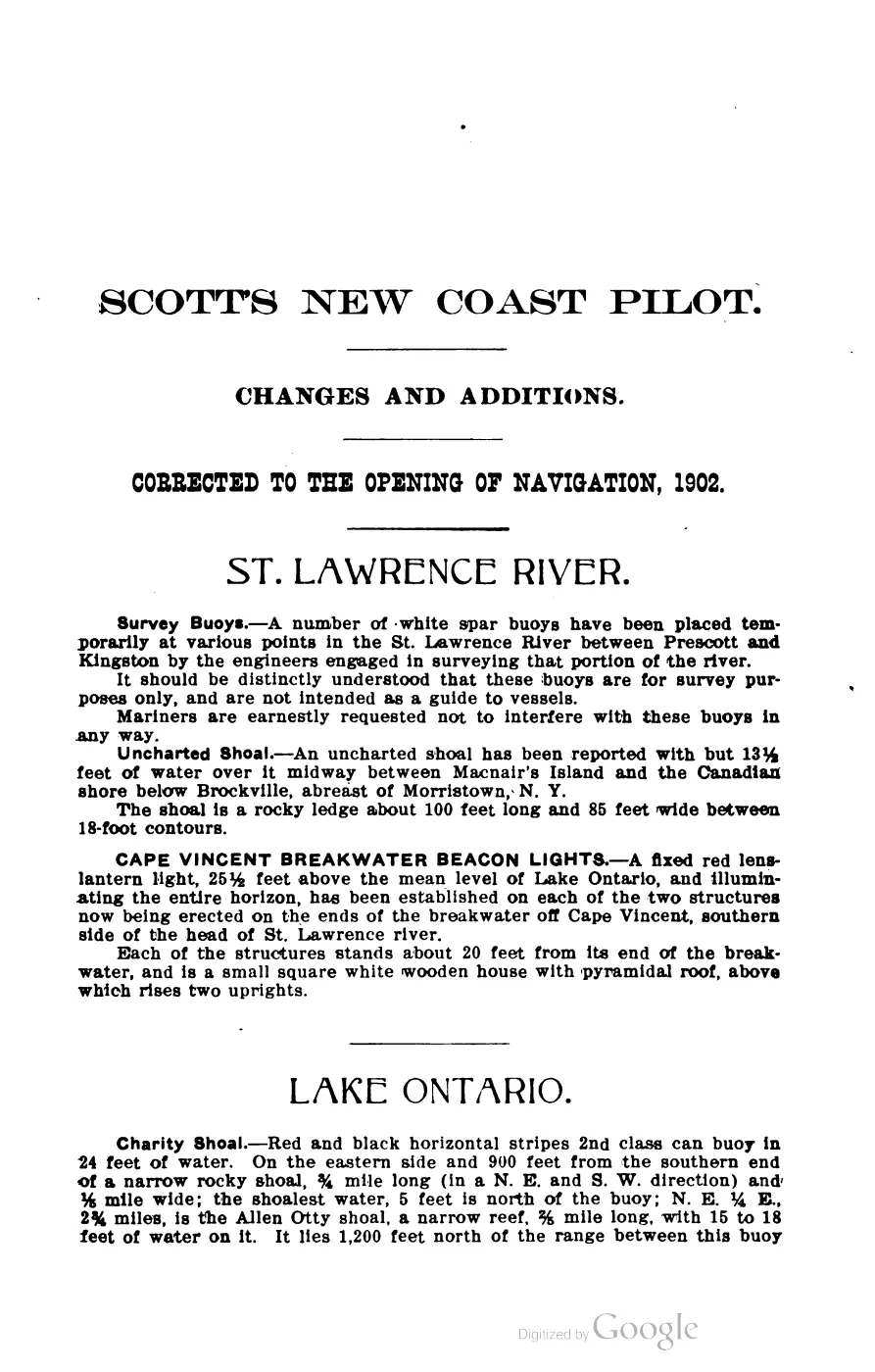
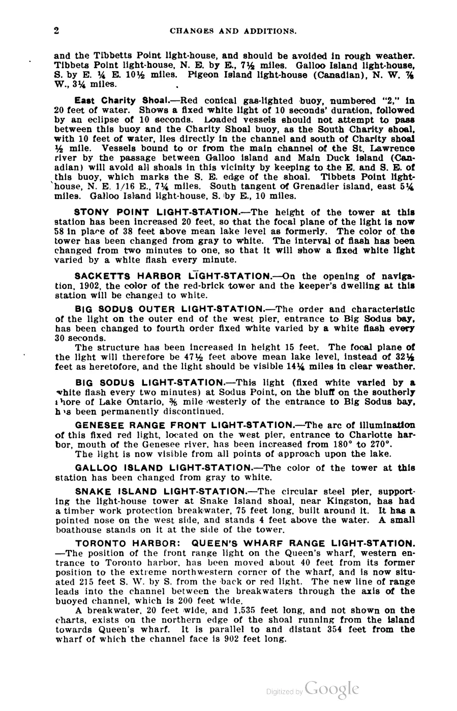
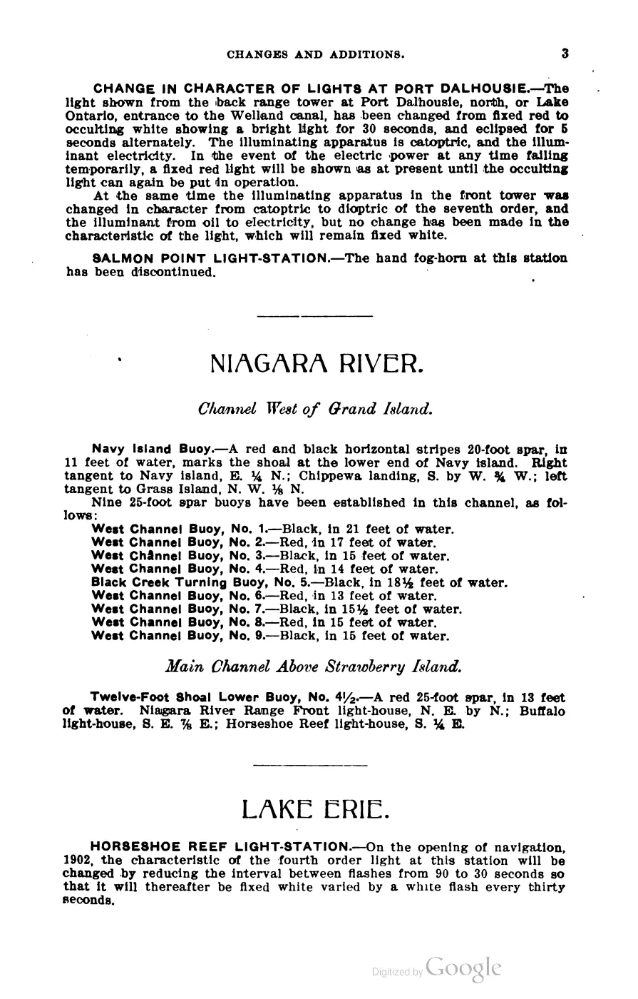
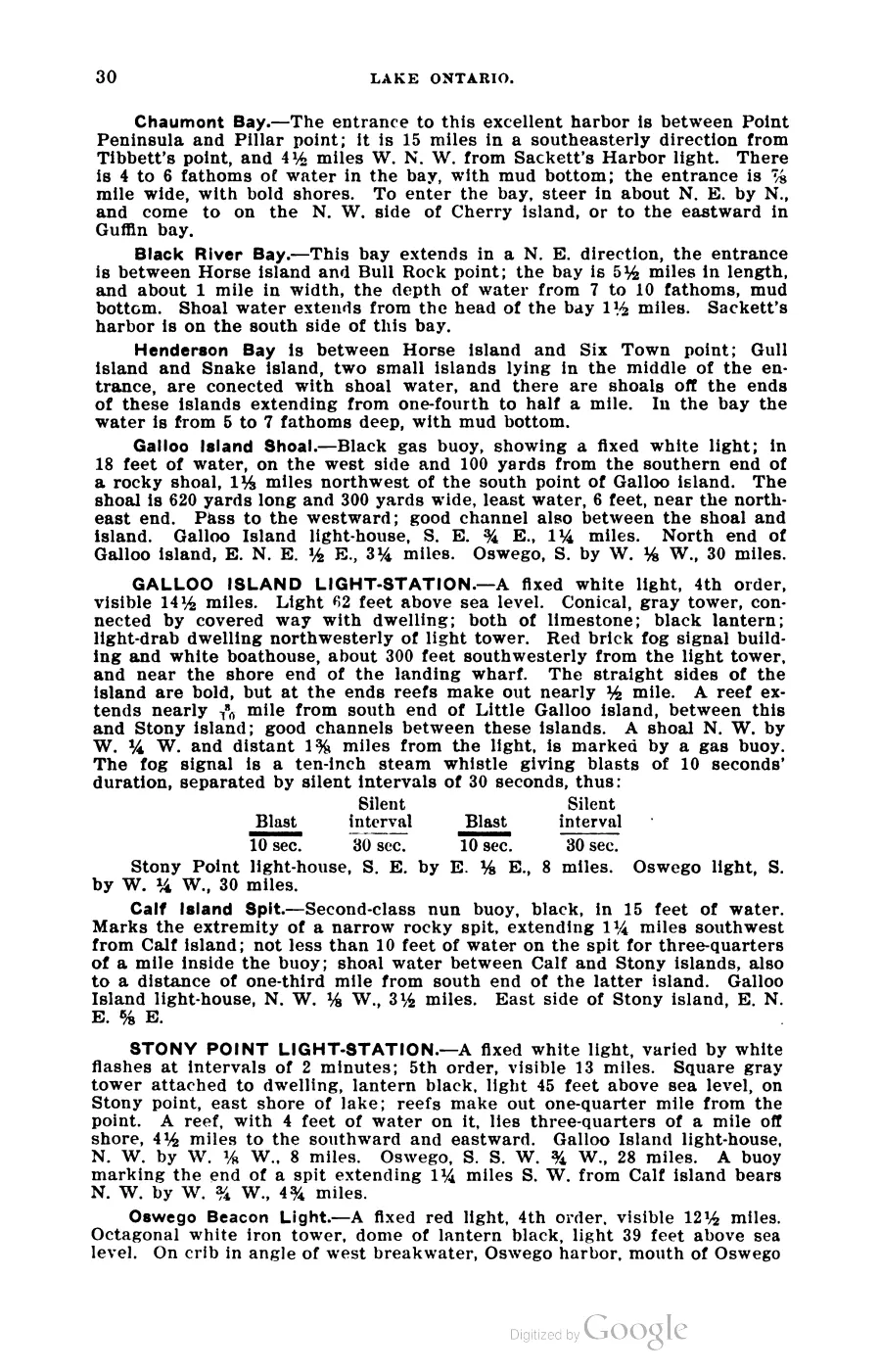
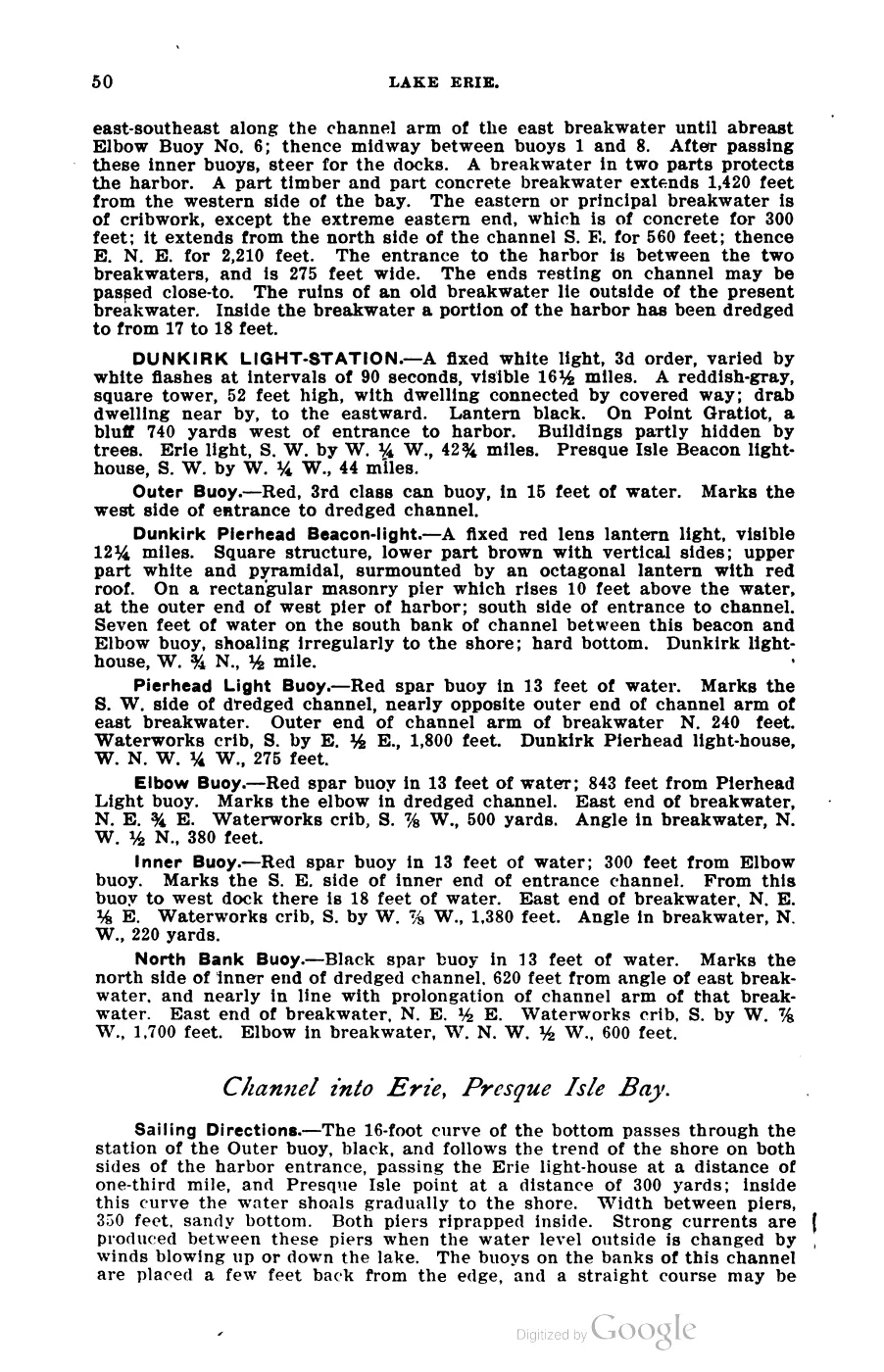
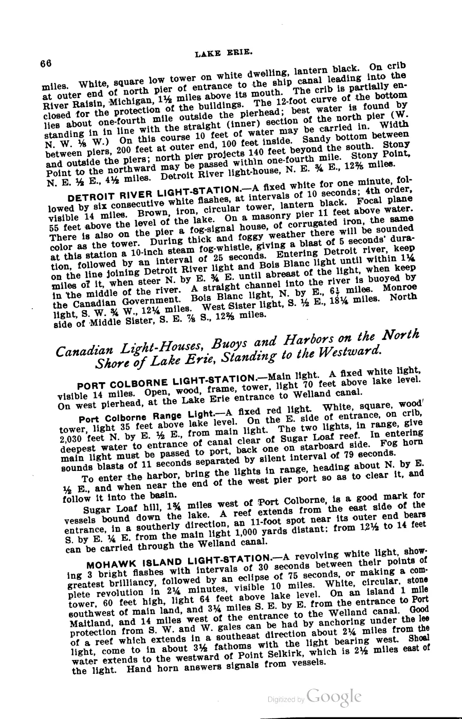
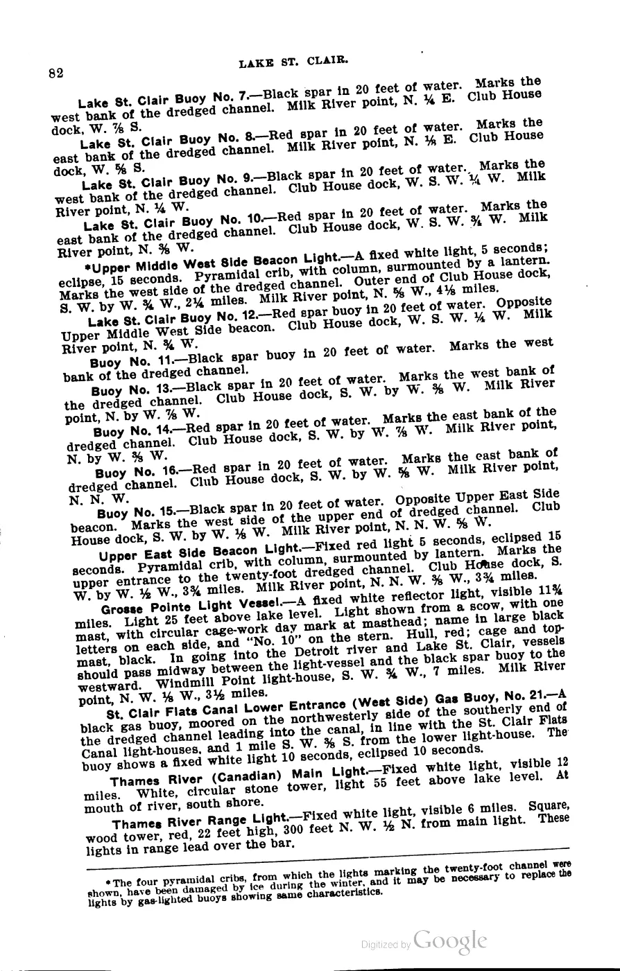
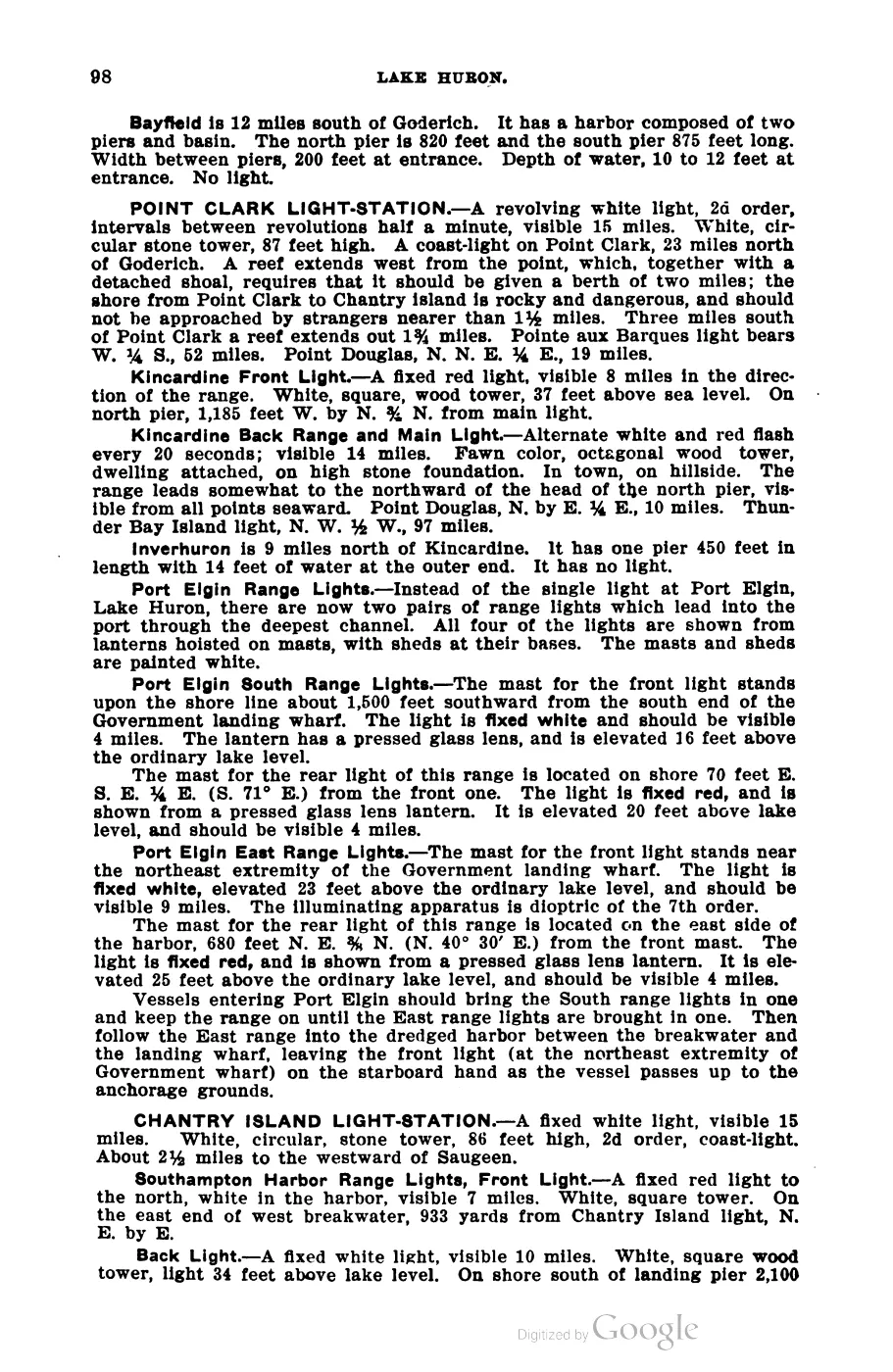
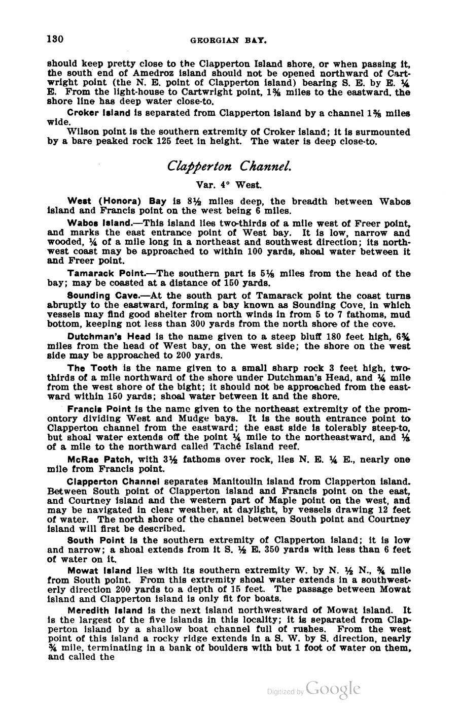
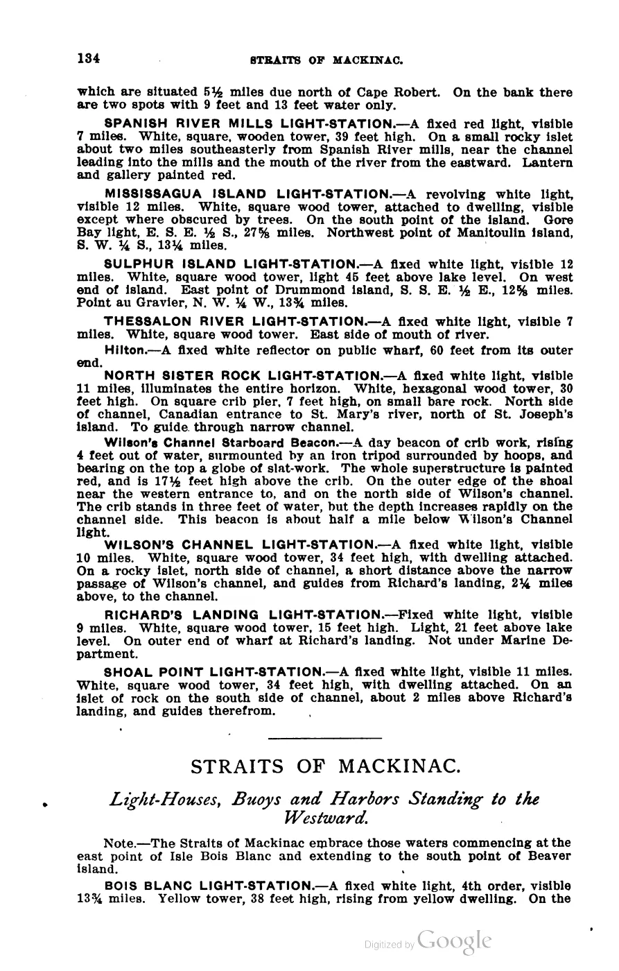
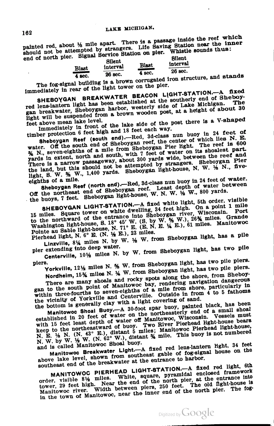
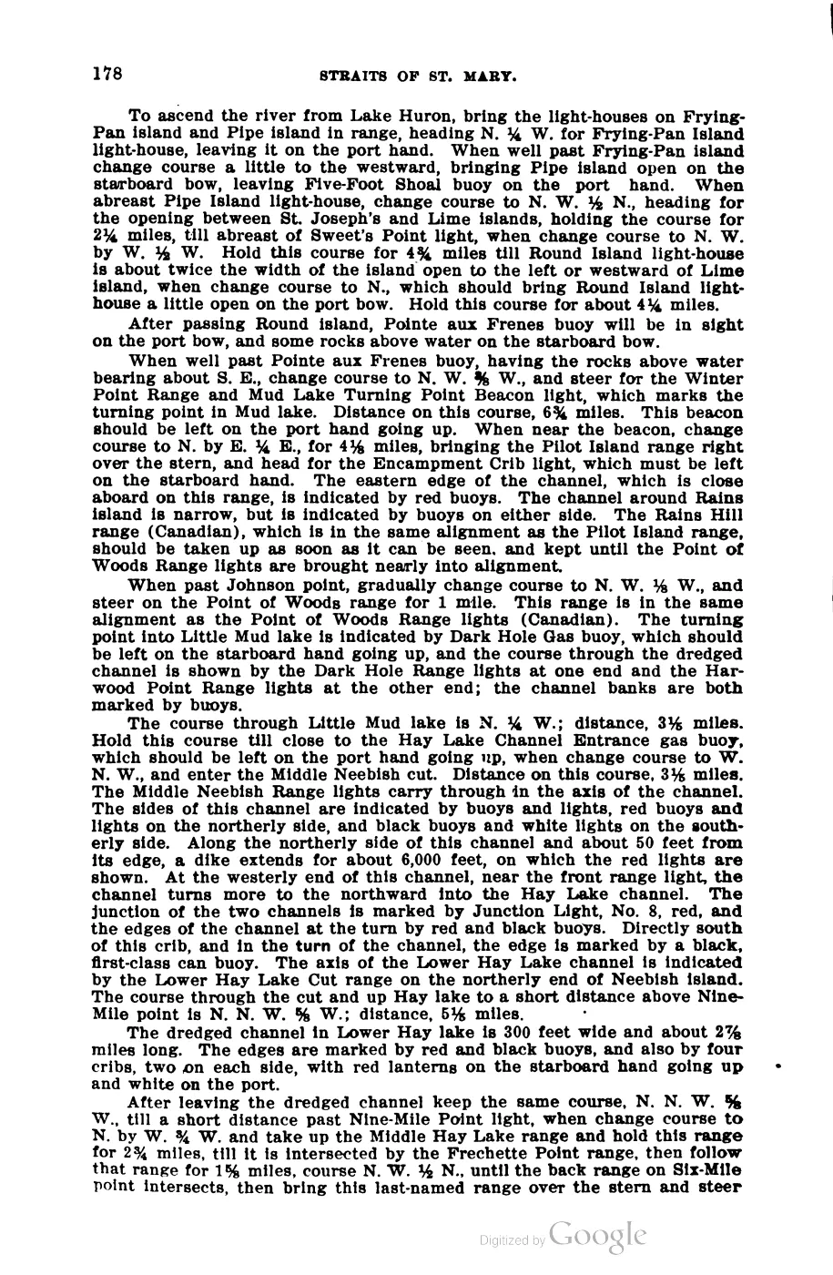
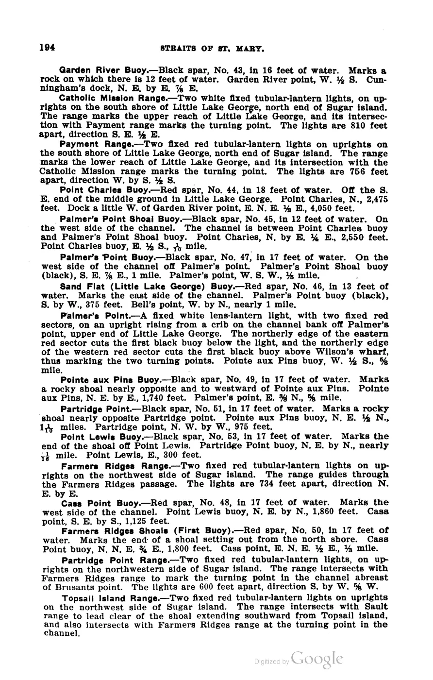
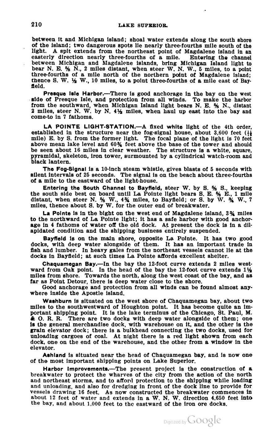
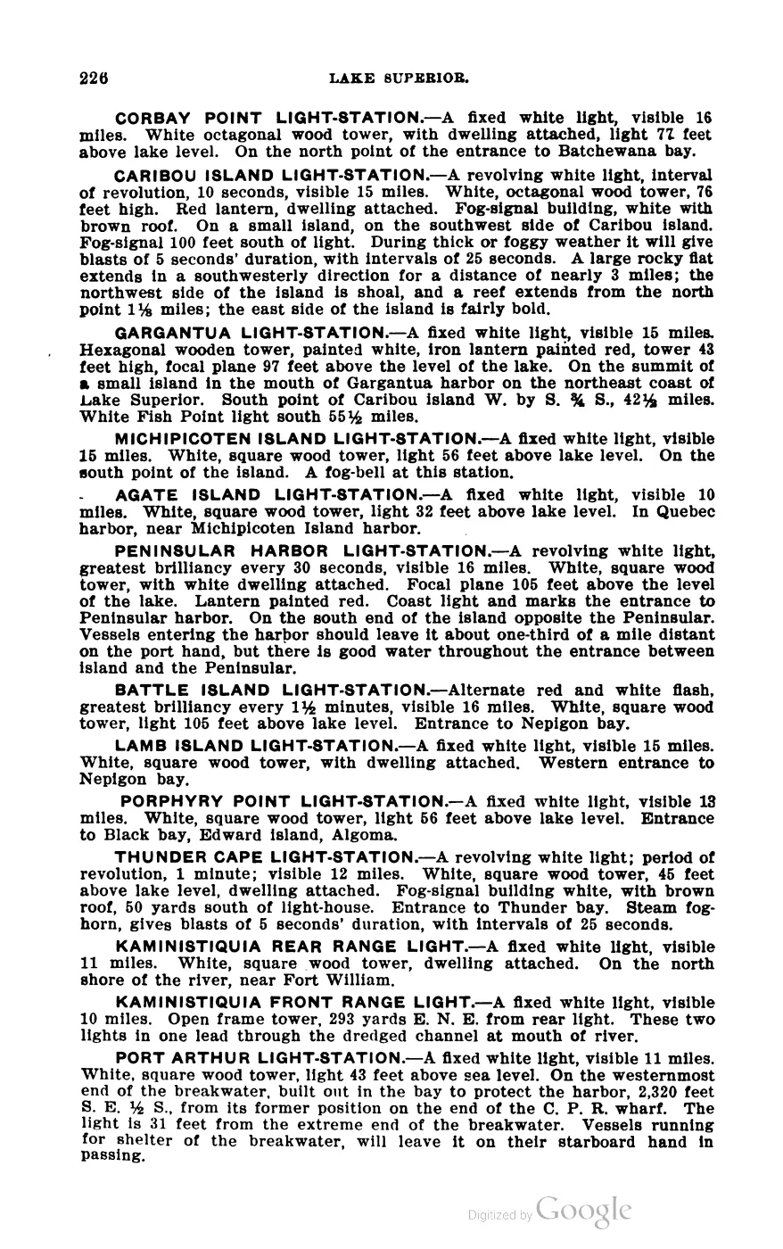
different boundary definition or measurement method. Scott’s 1902 Coast Pilot
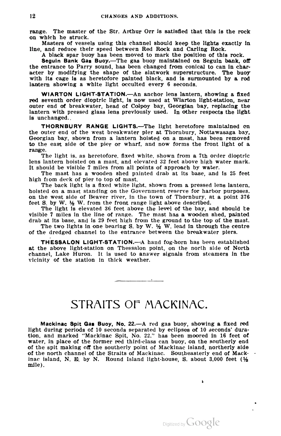
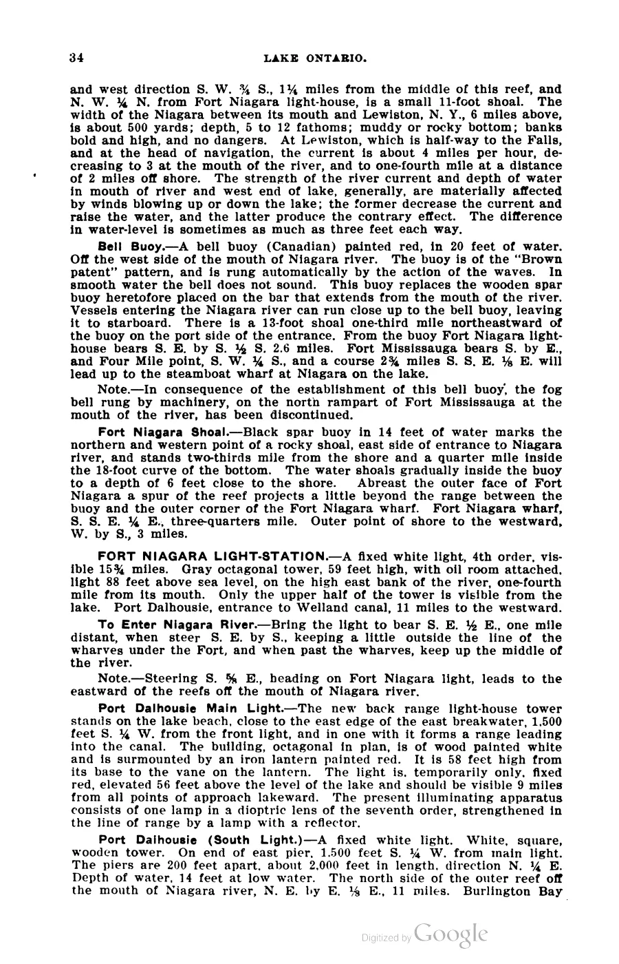
places the main light-station, a yellow brick tower 40 feet high, on a bluff about
60 feet high at the island’s south end, guiding vessels through the 9½-mile-wide
channel between Beaver and North Fox islands; a separate harbor light, a white
tower 34 feet high, marks the north side of the entrance to the harbor at Saint
James, on the island’s east side.
Six named inland lakes are recorded on the island, including Lake Geneserath, the largest; Williams’ 1905 memoir names it alongside Fox Lake, Green Lake, Font Lake, Long Lake and Round Lake, and describes Font Lake, near the harbor, as the site of Strang-era baptisms. Donegal Bay (formerly recorded on maps as Mount Pisgah Bay) lies on the island’s shore near the dune the same memoir calls “Mount Pisgah.” Pre-settlement vegetation reconstructed from General Land Office surveyors’ notes classes 140.69 km² of the 189.2 km² mapped within the wider AOI as beech-sugar maple-hemlock forest — evidence of what 19th-century surveyors recorded, not a direct modern observation.
Neighboring islands in the group visible from the island’s high points include High Island, Trout Island, Ojibwa Island (recorded historically as Squaw Island), Garden Island and Hog Island, per an 1905 eyewitness description from the dune above the harbor.14
Ecological profile
The Seven-island ecology connectivity matrix, 2026 makes Beaver Island the best-covered but not automatically complete row in the archipelago comparison. It preserves 1,634 tree/woody evidence records, 1,410 plant evidence records, 17 MNFI natural-community occurrences, 48 animal/bird records, 424 public DNR forest-inventory stands, a 65.50% mean 2023 tree-canopy value, and 33 SSURGO map units. These are different evidence units and scales; they are not counts of trees, plants, species, or habitat occupancy.
The Michigan DNR public forest inventory stand covertype crosswalk, 2026 supplies the most granular current forest baseline. Its Beaver query returned 424 clipped public-inventory stands, led by Northern Hardwood, Lowland Coniferous Forest, Lowland Deciduous Forest, Lowland Mixed Forest, and Aspen cover groups. The inventory also includes wetland, shrub, sand/soil, water, and openland groups, which helps connect forest edges to the island’s wetland and dune settings. It does not cover private land completely, establish ownership, or replace MNFI natural-community occurrences.
The tree and GLO records provide the historical counterpart: beech, sugar maple, hemlock, cedar, fir, spruce, tamarack, birch, aspen, ash, pine, oak, maple, ironwood, and cherry appear in source-bounded survey and stand evidence. The circa-1800 reconstruction is dominated by beech–sugar maple–hemlock forest, but that layer is a reconstruction from surveyor notes rather than a direct modern observation. Current tree-canopy values likewise do not identify species, age, height, or natural-community boundaries.
The MNFI Natural Community Surveys of Beaver Island Archipelago, 2017 and Soil, substrate, hydrology, and landform evidence crosswalk connect named forests, wetlands, dunes, cobble shores, soils, disturbance, deer browse, plants, and wildlife observations. The bird and animal records include management, survey, and incidental evidence rather than a complete fauna census. SSURGO, geology, NWI, canopy, and DNR polygons are island or regional context unless the source explicitly supplies a narrower survey unit.
The companion Beaver Island Archipelago wildlife and bird species evidence index, 2017–2024 currently preserves 48 linked wildlife/bird evidence records spanning 47 taxa for Beaver Island. Those are source records and taxon labels, not individual counts, abundance estimates, or proof of absence.
Names
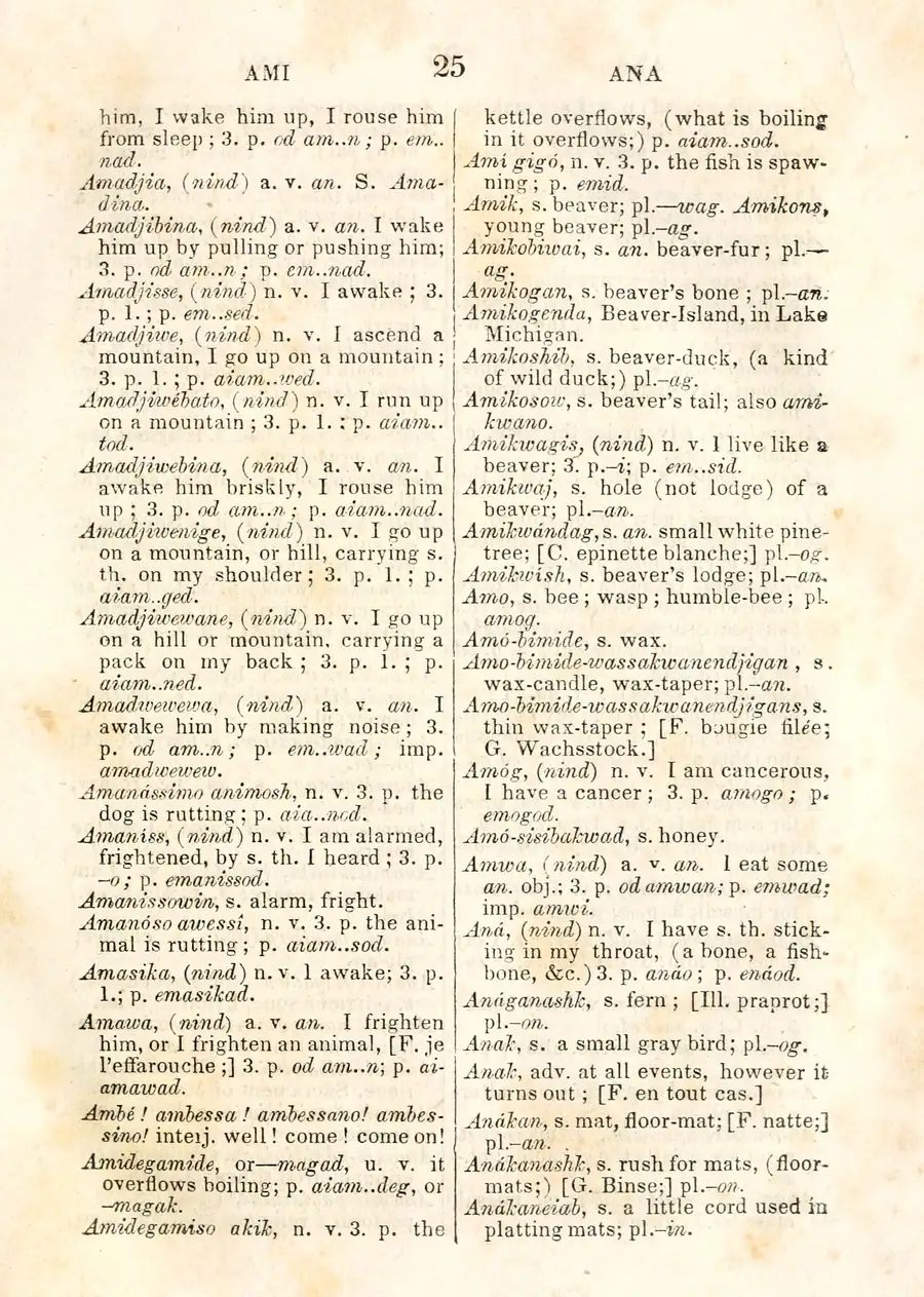
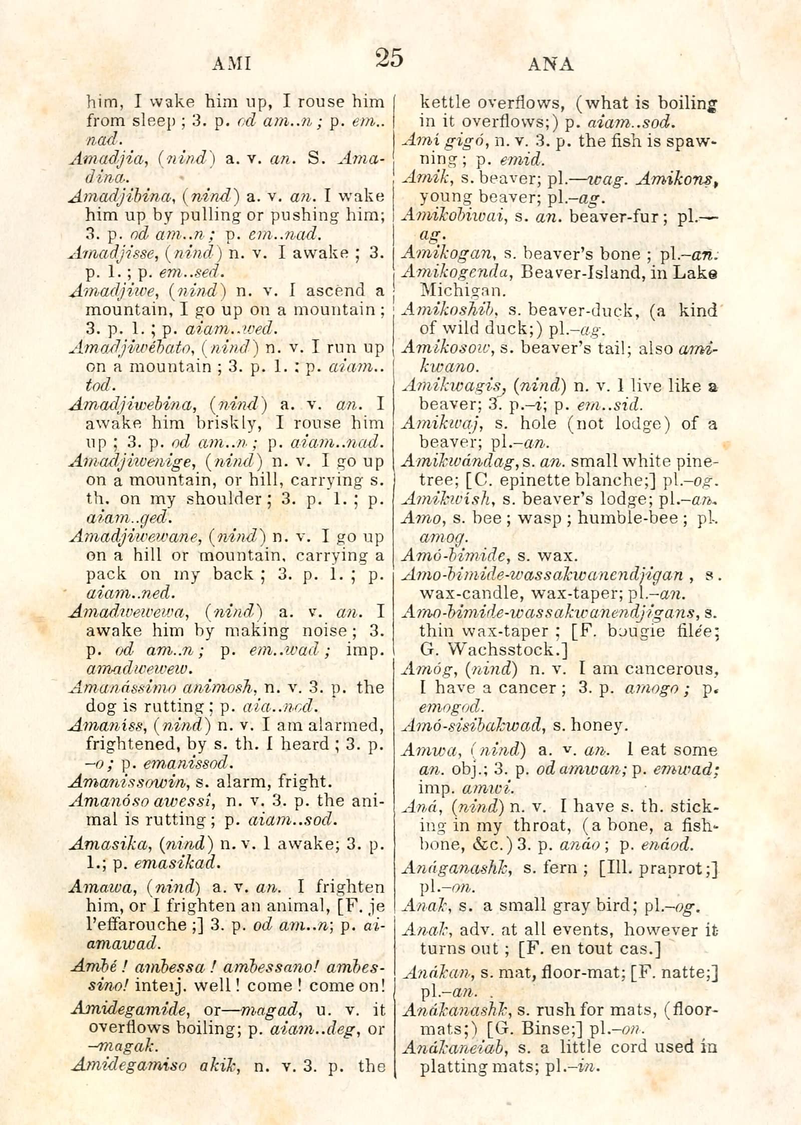
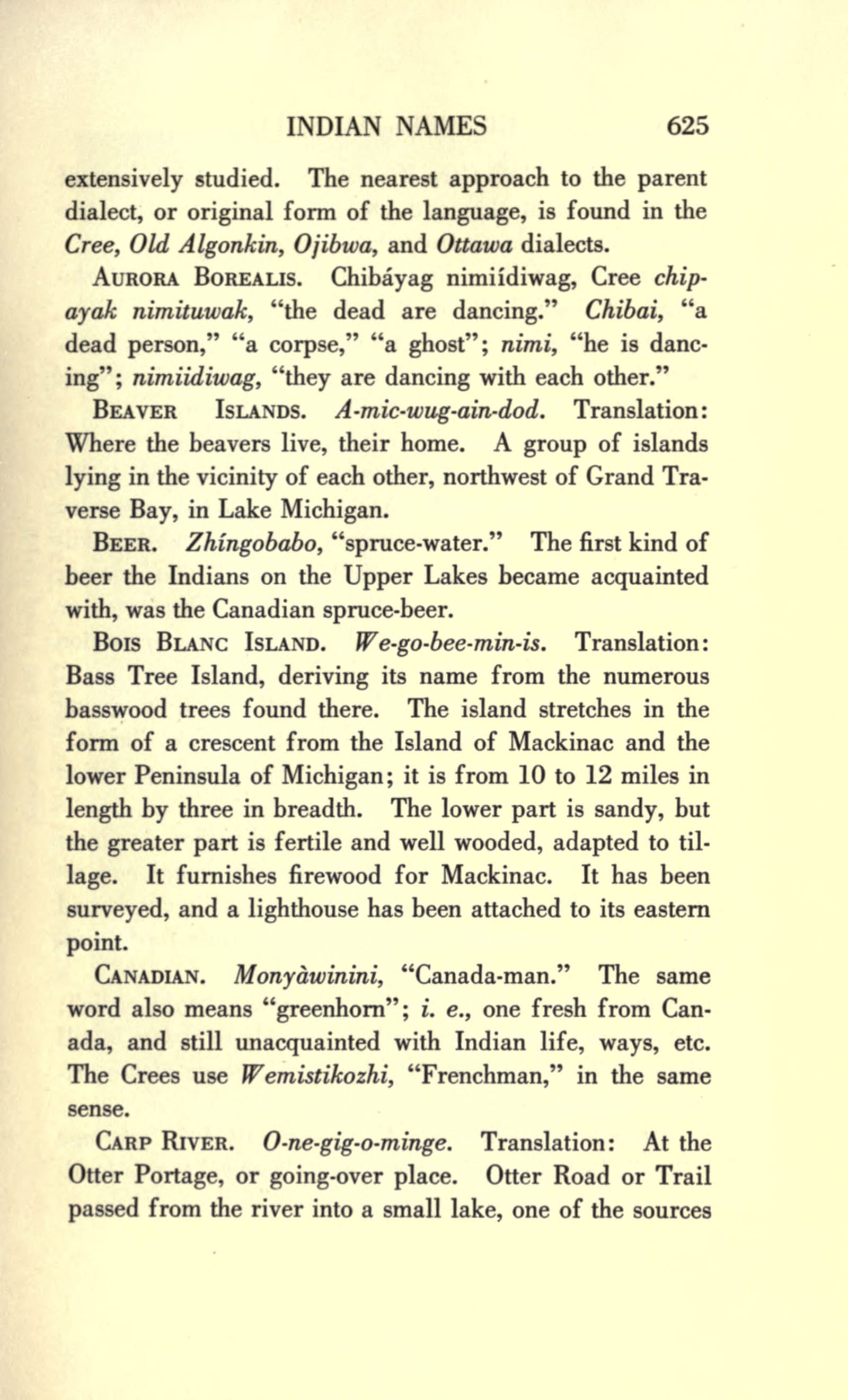
The oldest name is Anishinaabemowin: Amikogenda — “Beaver-Island, in Lake Michigan” in Frederic Baraga’s 1853 Ojibwe dictionary (p. 25, repeated in the 1878 edition), from amik(wag) “beaver(s)” + a dwelling verb, “where the beavers dwell.” Wood’s Historic Mackinac (1918, II p. 625) prints the same name as A-mic-wug-ain-dod (“Where the beavers live, their home”), and modern reflexes are Amikwag-endaad (Lippert 2015) and Amikwaganda (Northern Islander, 2025). The 1836 Treaty of Washington reserved “The Beaver islands of Lake Michigan for the use of the Beaver-island Indians,” and “the Beaver Islands” remain one of the LTBB’s nine constituent bands.
The held Ojibwe People’s Dictionary entries for amik (“a beaver”) and minis (“an island”) provide modern lexical context for component-like readings of some historical forms. They do not establish the morphology, spelling, pronunciation, or community use of those historical names, so the entries are kept separate from the name attestations above.
The name has both a faunal and an ethnonymic documentary history. Charlevoix’s 1721 journal connects les Isles du Castor to the Amikoues/Amikwa, the “Nation du Castor” whose families had formerly lived on the islands; this is evidence for a name derived from the Beaver People, not only from the animal. Williams’s 1905 settler tradition supplies the competing faunal explanation: beaver-dam traces were still visible around the inland lakes when her family arrived, “and this is why the island was named Beaver.”1514
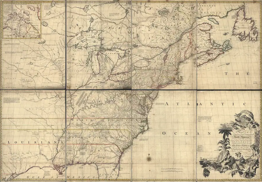
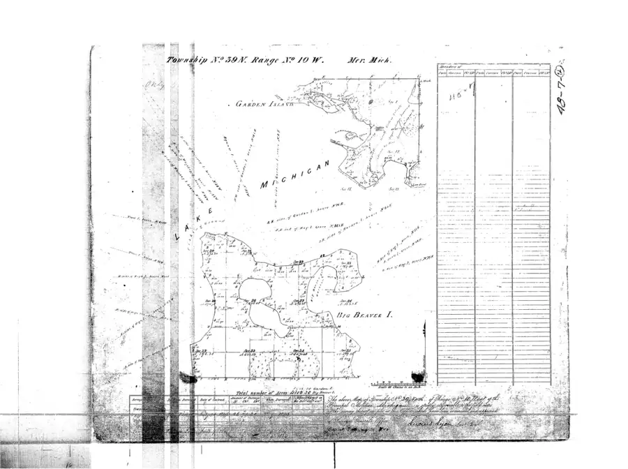
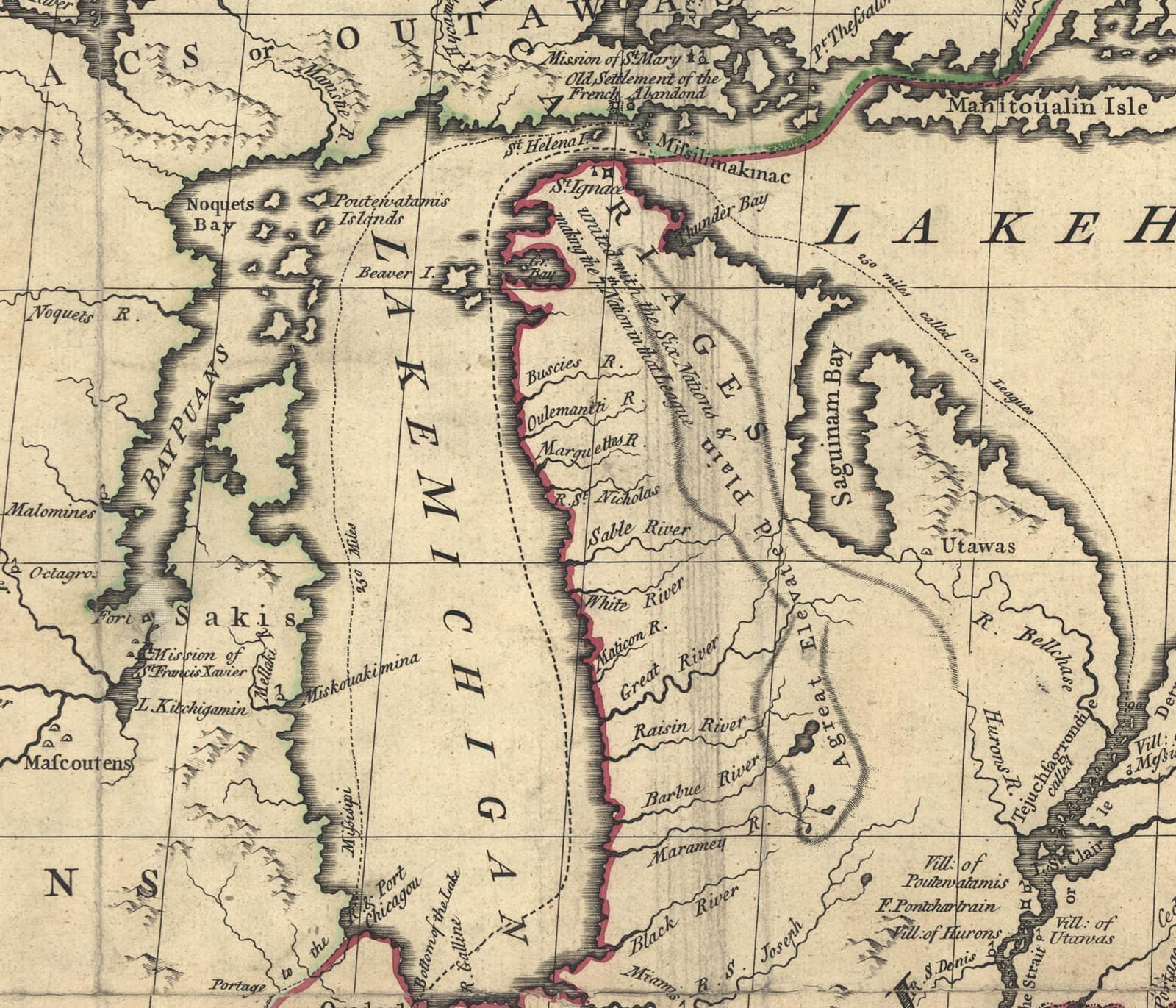
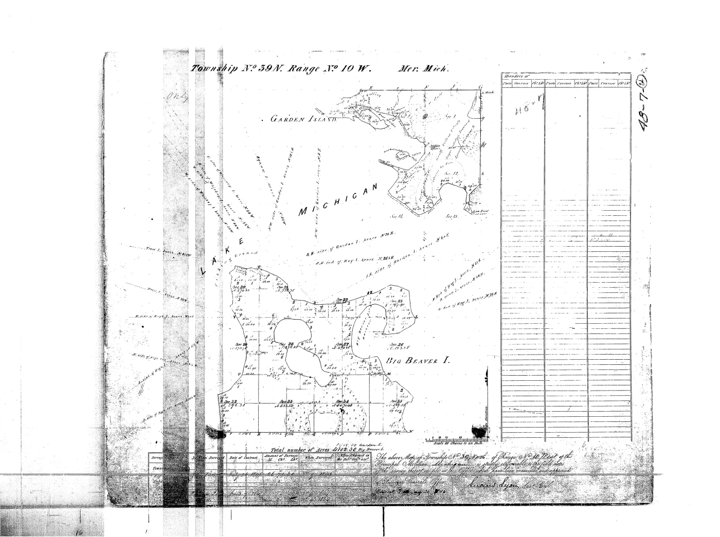
The French called the group les Isles du Castor: first in narrative in Cadillac’s Relation (c. 1695, describing families with corn fields there), then in Charlevoix’s 1721 journal (passed 1 August 1721, “fort bien boisées”), and on engraved charts from Bellin 1744 (“I. du Castor”) and d’Anville 1755 (“I. au Castors”); earlier maps (Franquelin 1688, Delisle 1703) draw the group unlabeled, and Coronelli 1688 labels it for the Ottawas (“Outtâou-uactz”). The English “Beaver I.” appears as early as John Mitchell’s 1755 map — before the British occupation — while Alexander Henry still used “the Isles du Castor” of his 1763 captivity. American usage ran “Beaver Islands” / “Big Beaver” (Blois 1838; GLO plats “BIG BEAVER I.”, 1847–49; Farmer 1853), until the U.S. Lake Survey chart of 1854–57 fixed the modern “Beaver Island.” GNIS records “Great Beaver Island” (from the SDUK 1833 sheet, engraved “Gr. Beaver I.”) and “Big Beaver” as variants; the official name (feature 1625037) is unchanged since the Phase I GNIS compilation (1976–1981). Unlike its northern neighbor Ojibwa Island, Beaver Island’s own name has not been subject to a modern renaming order. No Irish-language name is attested despite the island’s Gaeltacht history, and none is supplied here.
Significance
Beaver Island anchors the whole archipelago both geographically (three-quarters of its land area) and administratively (the seat of both townships that cover the group). Its 19th-century history — French fur trade, Strang’s Mormon kingdom, subsequent Irish Catholic settlement — is the central narrative of the island’s recorded history, and the island’s other named features (Saint James, Lake Geneserath, Donegal Bay) are each part of that same story.
Open questions
- The discrepancy between the 150.96 km² OSM-derived figure and the commonly published “≈56 square miles (≈145 km²)” figure has not been resolved — it may reflect a different coastline definition (e.g. mean high water vs. OSM’s mapped shoreline) rather than an error in either source.
- The precise founding date of Township of Saint James as distinct from the 1847 Township of Peaine has not been traced (see the archipelago article’s Open questions).
- No NRHP reference number is recorded for the island as a whole; individual structures (e.g. the light station) may carry their own listings, outside the scope of this article.
See also
- Beaver Island archipelago
- Saint James
- Lake Geneserath
- Donegal Bay
- Ojibwa Island
- Garden Island
- High Island
- Hog Island
- Township of Saint James
- Township of Peaine
- Beaver Island Deer Hunting Reopened for the 1938 Season
- Perch Fishing and Bird Hunting on Beaver Island in 1950
- Conservation Fish-Net Patrol Near Beaver Island in 1945
- George Stephenson
- Beaver Island Soil Survey and Planned Alfalfa Fertilizer Experiments in 1932
- Beaver Island Bull Clubs and Dairy Improvement Visit in 1937
- Burton C. Mellencamp
- Announced Beaver Island Chest Clinic in 1927
- County Agents Summer Conference at Beaver Island in 1941
- King Strang Hotel
- East Jordan FFA Beaver Island Outing in 1945
- Mary Margaret
- Announced National Conservation Award for Beaver Island in 1951
- Beaver Island Wildlife-Stocking Program from 1922
- Beaver Islander's Final 1968 Supply Trip Through a Winter Storm
- Arrival, Maiden Voyage, and Christening of the Emerald Isle, 1955
- Squaw Island Light-Crew Tragedy, 1900
- Death of David Chase in a Beaver Island train wreck, 1908
- Emerald Isle
- Beaver Island Boat Company
- Beaver Island Game Club
- Michigan Conservation Commission Beaver Island Deer Closure Order, 1938
- Michigan Conservation Commission Beaver Island Sharp-Tailed Grouse Closure Order, 1941
- Michigan Conservation Commission Beaver Island Cottontail Rabbit Closure Order, 1952
- Michigan Conservation Commission
- Seven-island ecology connectivity matrix, 2026
- Michigan DNR public forest inventory stand covertype crosswalk, 2026
- MNFI Natural Community Surveys of Beaver Island Archipelago, 2017
- Soil, substrate, hydrology, and landform evidence crosswalk
- Forest types and tree history
- Wildlife and bird life
Footnotes
-
Ancient and Modern Michilimackinac (1854), p. 15. ↩
-
U.S. Census Bureau, decennial 2000/2010/2020; ACS 2023 5-year estimates. ↩
-
Charlevoix County Herald, July 22, 1938, “Deer Hunting On Beaver Island.” ↩
-
Charlevoix County Herald, October 20, 1950, “Perch Fishing And Bird Hunting at its Peak on Beaver Island.” ↩
-
Charlevoix County Herald, June 29, 1945, “BEAVER ISLAND — Islands have a way of doing things to people.” ↩
-
Charlevoix County Herald, September 2, 1932, “FIVE FERTILIZER EXPERIMENTS STARTED ON BEAVER ISLAND.” ↩
-
Charlevoix County Herald, July 30, 1937, “Beaver Island Bull Clubs Visited Last Week.” ↩
-
Charlevoix County Herald, June 20, 1941, “County Agents Summer Conference At St. James, Beaver Island.” ↩
-
Beaver Beacon, April and May 1955, “Day of the Month for April Is Boat Day” and “The Emerald Isle.” ↩
-
Charlevoix County Herald, May 11, 1945, “East Jordan’s FFA Lads Have Enjoyable Outing At The Beaver Islands.” ↩
-
Charlevoix County Herald, November 9, 1951, “Beaver Island To Be Honored.” ↩
-
Charlevoix County Herald, October 9, 1942, and September 5, 1952, reprinting State of Michigan Conservation Commission orders. ↩
-
Charlevoix Courier, January 1, 1969, “Friday’s storm fails to halt final run for boat” and “Beaver Islander’s last trip.” ↩
-
Pierre François Xavier de Charlevoix, Journal historique d’un voyage fait par ordre du Roi dans l’Amérique septentrionale (1744), pp. 279-280, 282-283, 313. ↩
Maps for this place
These Atlas plates provide regional context. They do not establish a precise boundary, current ownership, access right, operating status, or field condition.
- EnvironmentSoils, wetlands, hydrography, and terrain
- GeologyGeneralized geology and landforms
- HydrologyMapped water and wetland context
- AccessMapped routes, facilities, and protected areas
- Land surveyPLSS geometry and historic GLO patent-location context
The dated record
The name, as attested
- Amikogendaattested 1853
- Amikiminisattested 1853
- Isles du Castorattested c.1695
- les Isles du Castorattested 1721
- I. du Castorattested 1744
- Beaver Islandattested 1857 · current
- c.1695
Isles du CastorsupersededFrench
Cadillac's Relation, as translated in Wisconsin Historical Collections XVI, is the earliest French narrative naming of the islands identified so far.
- 1721
les Isles du CastorsupersededFrench
Charlevoix's journal uses the French plural for the archipelago; the form is retained as an archipelago-level attestation rather than a precise modern island boundary.
- 1744
I. du CastorsupersededFrench
Bellin, Carte des Lacs du Canada (1744; drawn per its cartouche from Charlevoix's journal), and Bellin/Homann 1755; d'Anville 1755 engraves "I. au Castors". Scans held in data/maps/commons/.
- 1755
Beaver I.variant
John Mitchell's map supplies the earliest English form found in the held map sweep.
- 1833
Great Beaver Islandvariant
SDUK North America Sheet V, engraved "Gr. Beaver I." — the map behind the GNIS variant record.
- 1836
Beaver islandsvariant
Article Third says 'The Beaver islands of Lake Michigan'; capitalization and plural are preserved as the treaty's form.
attested in Treaty of Washington with the Ottawa, etc., 1836
- 1838
Big Beavervariant
Blois's Gazetteer uses 'Big Beaver' for the principal island while noting the period name collision with the Lake Superior Beaver Island.
- 1849
BIG BEAVER I.variant
The original GLO plat for T39N R10W, approved August 23, 1849, visibly labels the island “BIG BEAVER I.” The label is a cartographic attestation, not an official renaming or a boundary/title record.
attested in GLO survey plat: T39N R10W
- 1853
AmikogendavariantAnishinaabemowin
Baraga's dictionary gives 'Amikogenda, Beaver-Island, in Lake Michigan'; direct page-image attestation, distinct from the English official name.
- 1853
AmikiminisvariantAnishinaabemowin
Schoolcraft, Indian Tribes, III (1853), p. 526, verified at the primary (held: historicalstatis03scho): "The Indian name of Beaver island of Lake Michigan... minnis... island; and amik, beaver... coalesce by the connective i." The amik + minis tradition, recorded the same year as Baraga's amik + endaad form.
- 1857
Beaver Islandcurrent
U.S. Lake Survey chart, North End of Lake Michigan including the Beaver Island Group (surveys 1854-55, pub. 1857) — the modern form and the full modern island nomenclature fixed. GNIS feature 1625037.
- 1918
A-mic-wug-ain-dodvariantAnishinaabemowin
Wood, Historic Mackinac, II (1918), p. 625: "Where the beavers live, their home." Wood's stated source (Kelton 1888) checked in three copies and ruled out; attestation remains Wood 1918.
- 1986
AmikokendavariantAnishinaabemowin
Vogel, Indian Names in Michigan (1986), p. 104, read on the page via IA lending borrow: "called by the Ojibwa Amikokenda, 'home of the beavers'" — evidently his rendering of Baraga's form.
- 2025
AmikwagandavariantAnishinaabemowin
Wiatrolik, "Jiibay Wiikongewin (Ghost Suppers) of Amikwaganda (Beaver Island)", Northern Islander, Oct 2025 — the community's current printed Anishinaabemowin form.
From the sources
Read the document
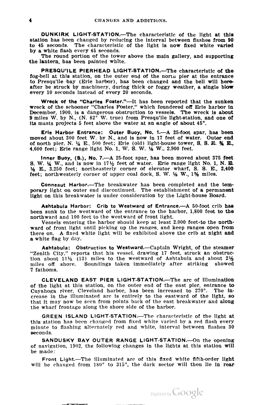
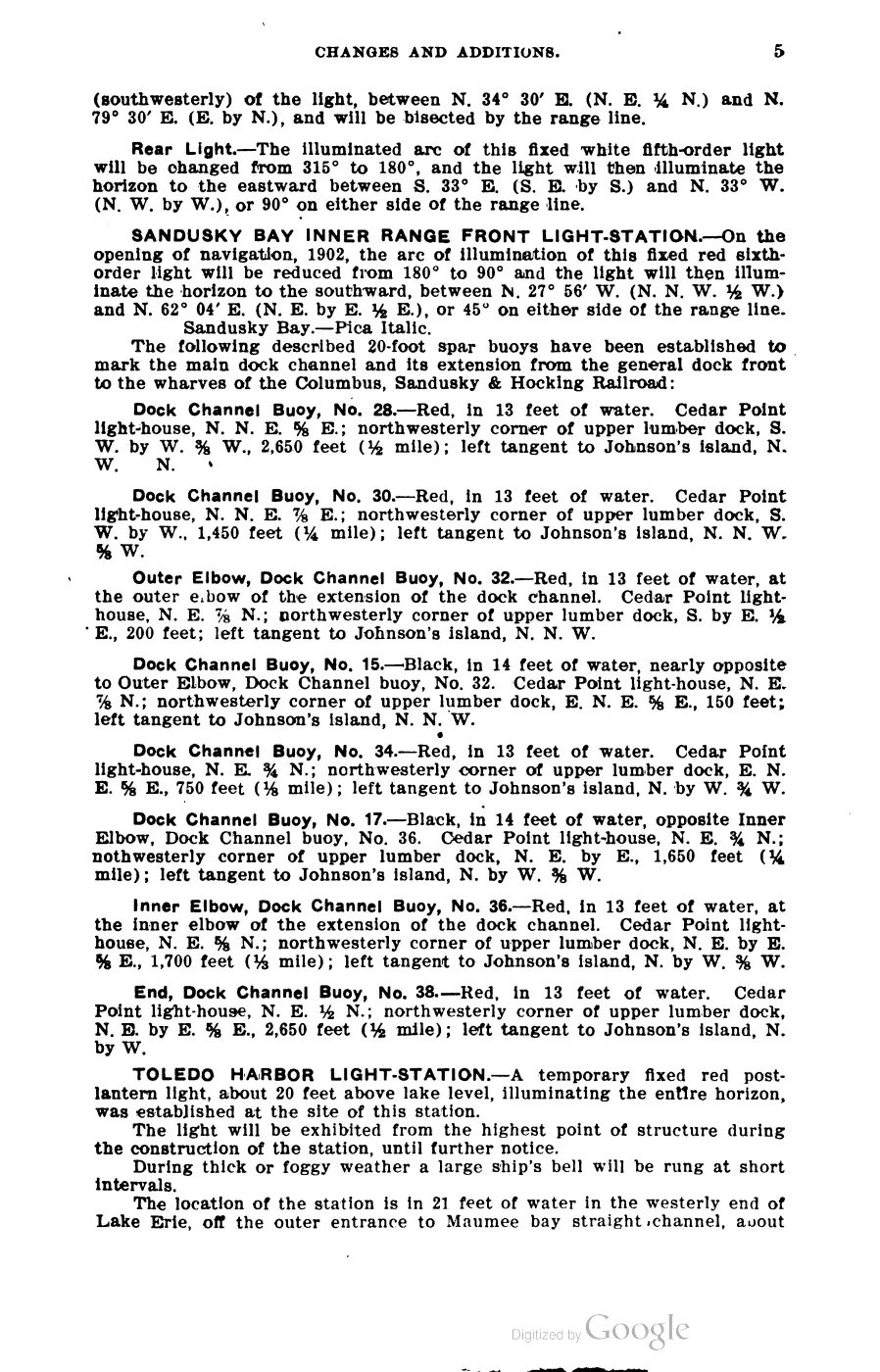
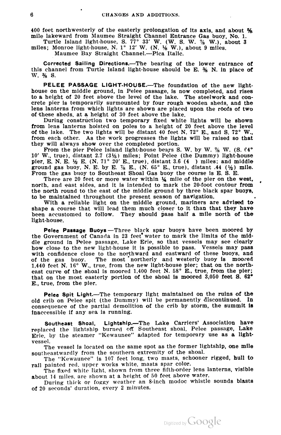
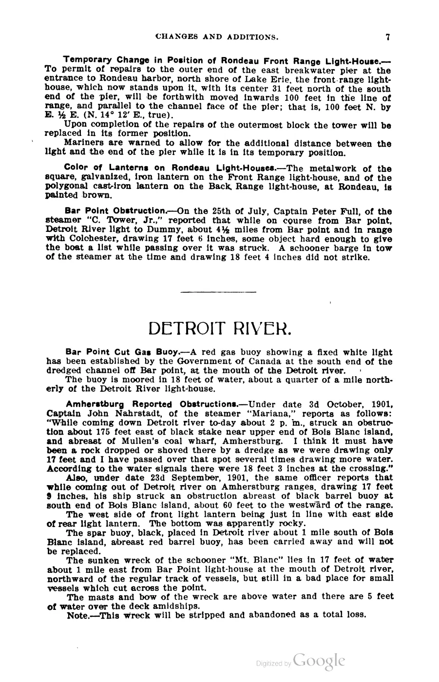
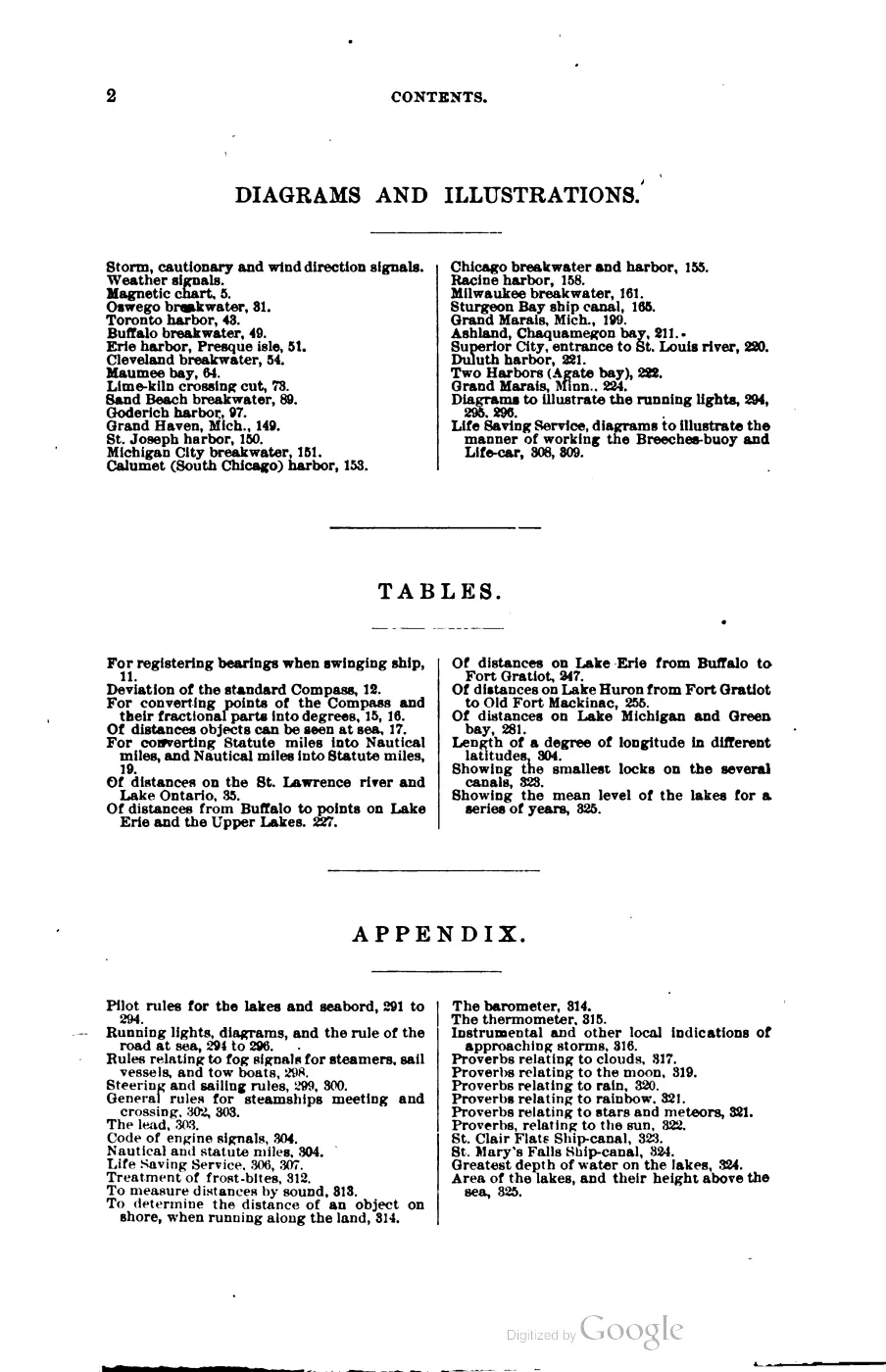
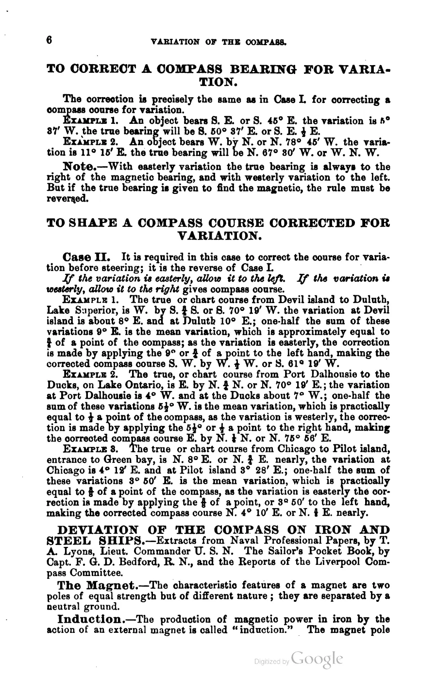
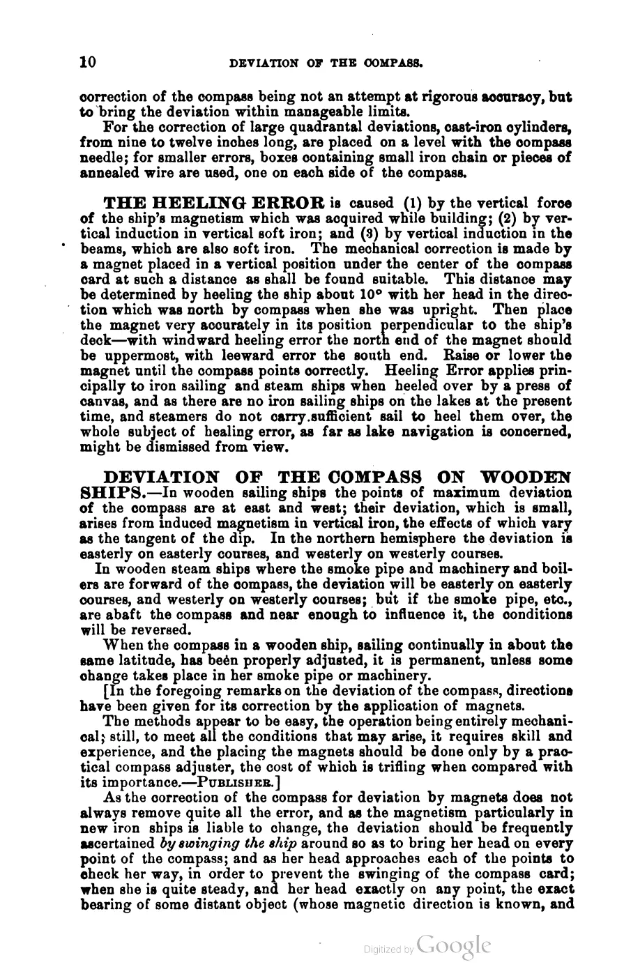
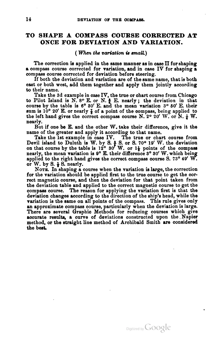
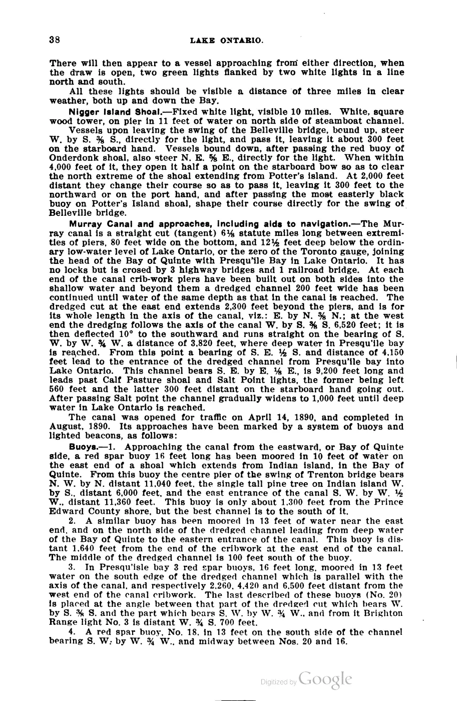
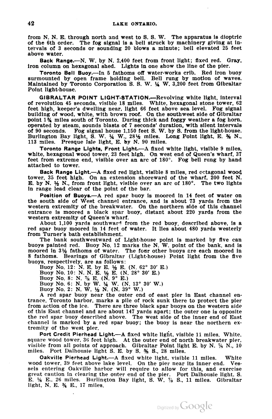
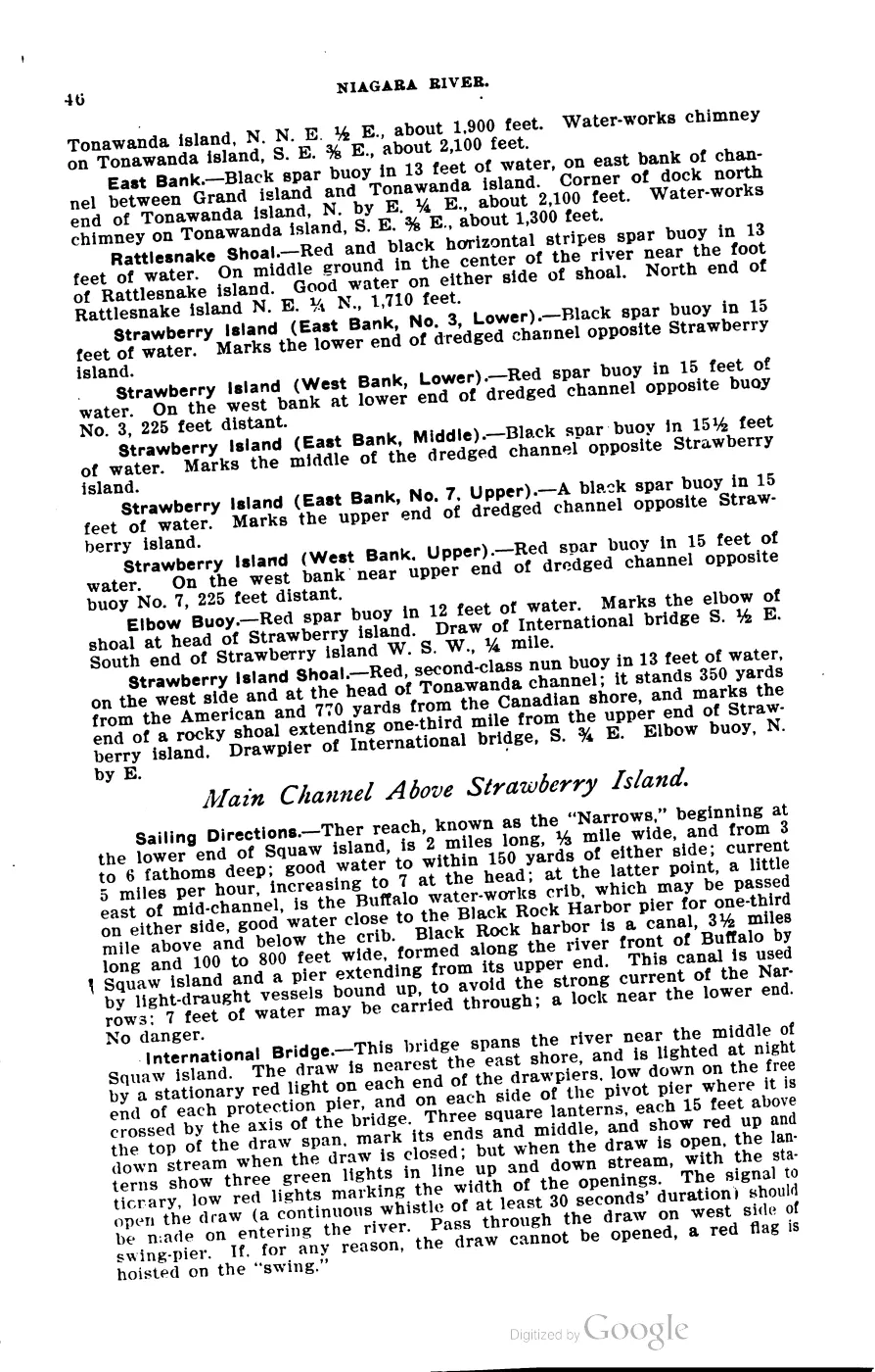
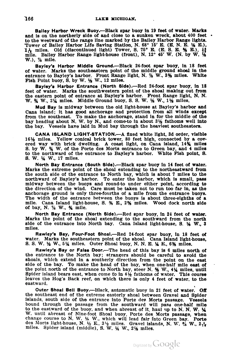
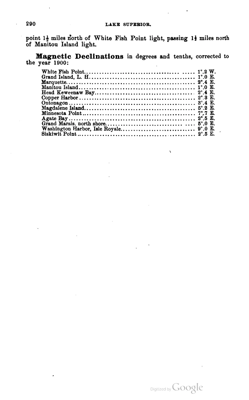
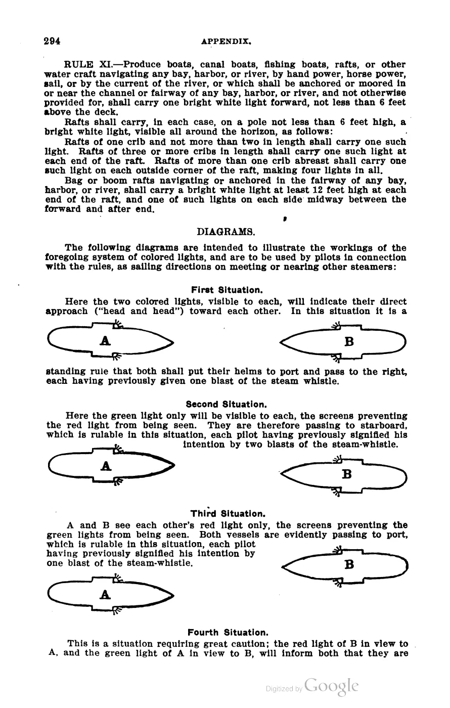
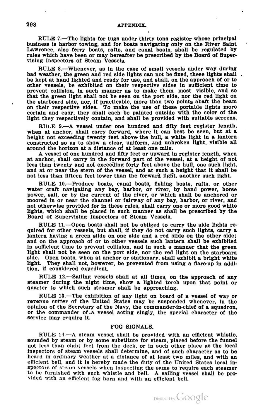
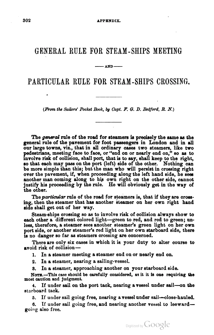
393 pages, rendered from the held scan.

Jump to a page — 393 in all
135 of 393 pages linked here — every page to 32, then every 4th, then the last 16. With JavaScript, every page.
Read the document
2 pages, rendered from the held scan.






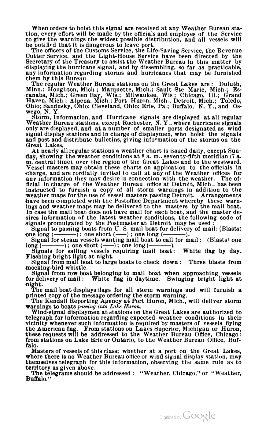
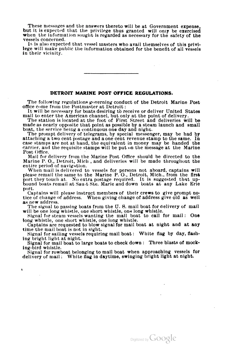
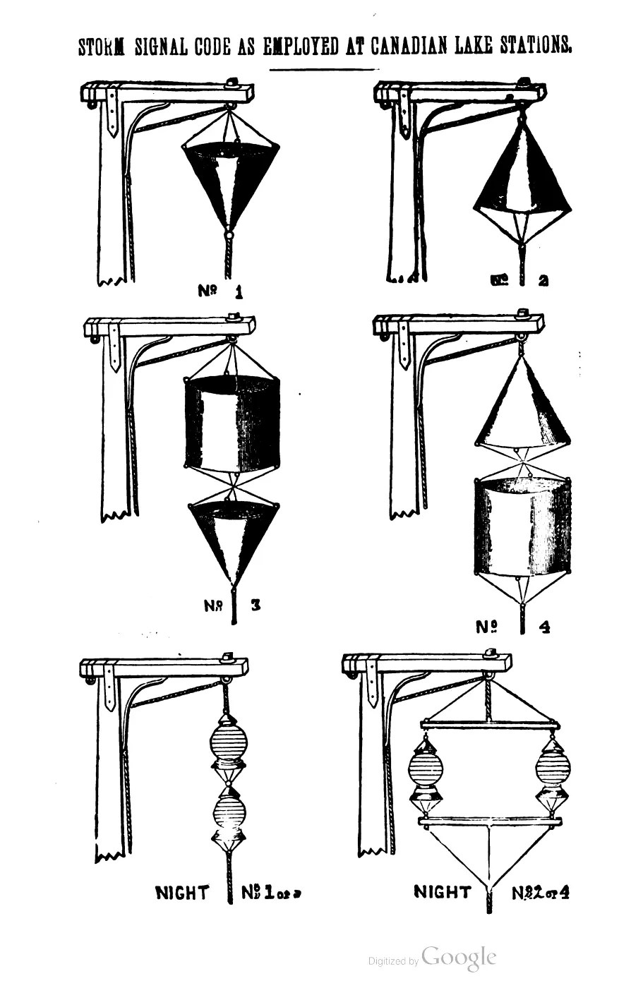
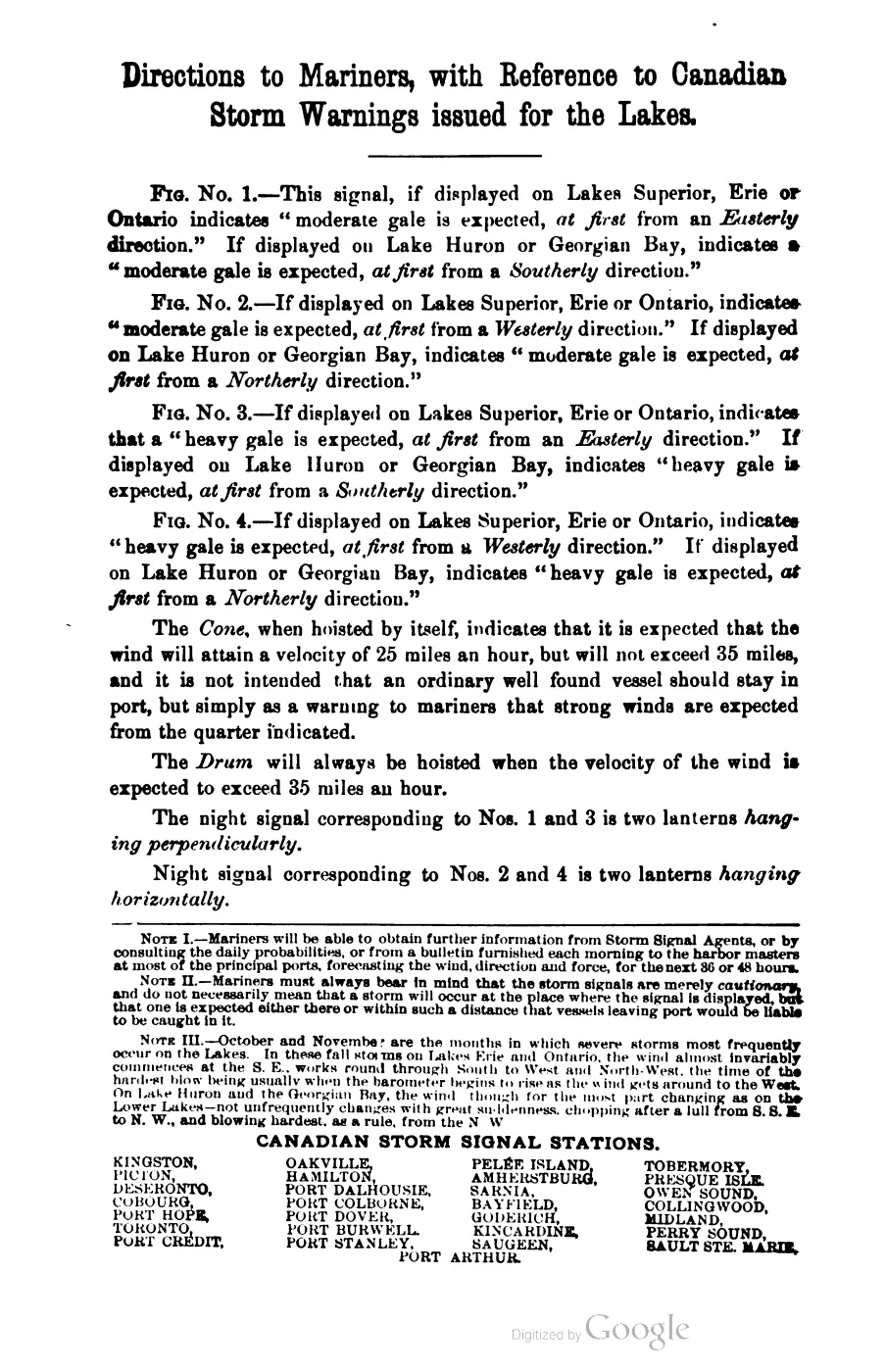


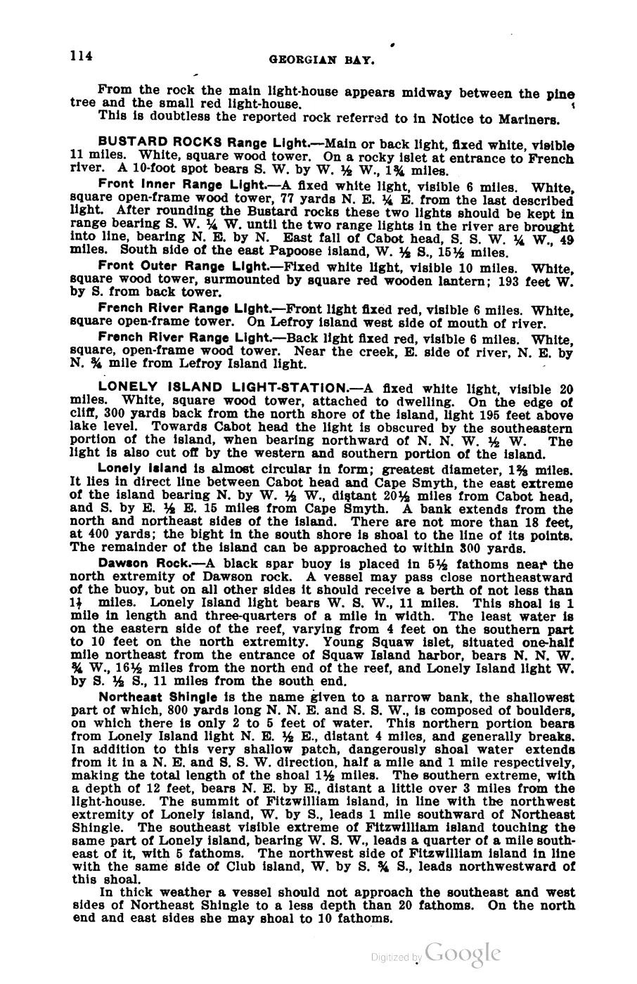
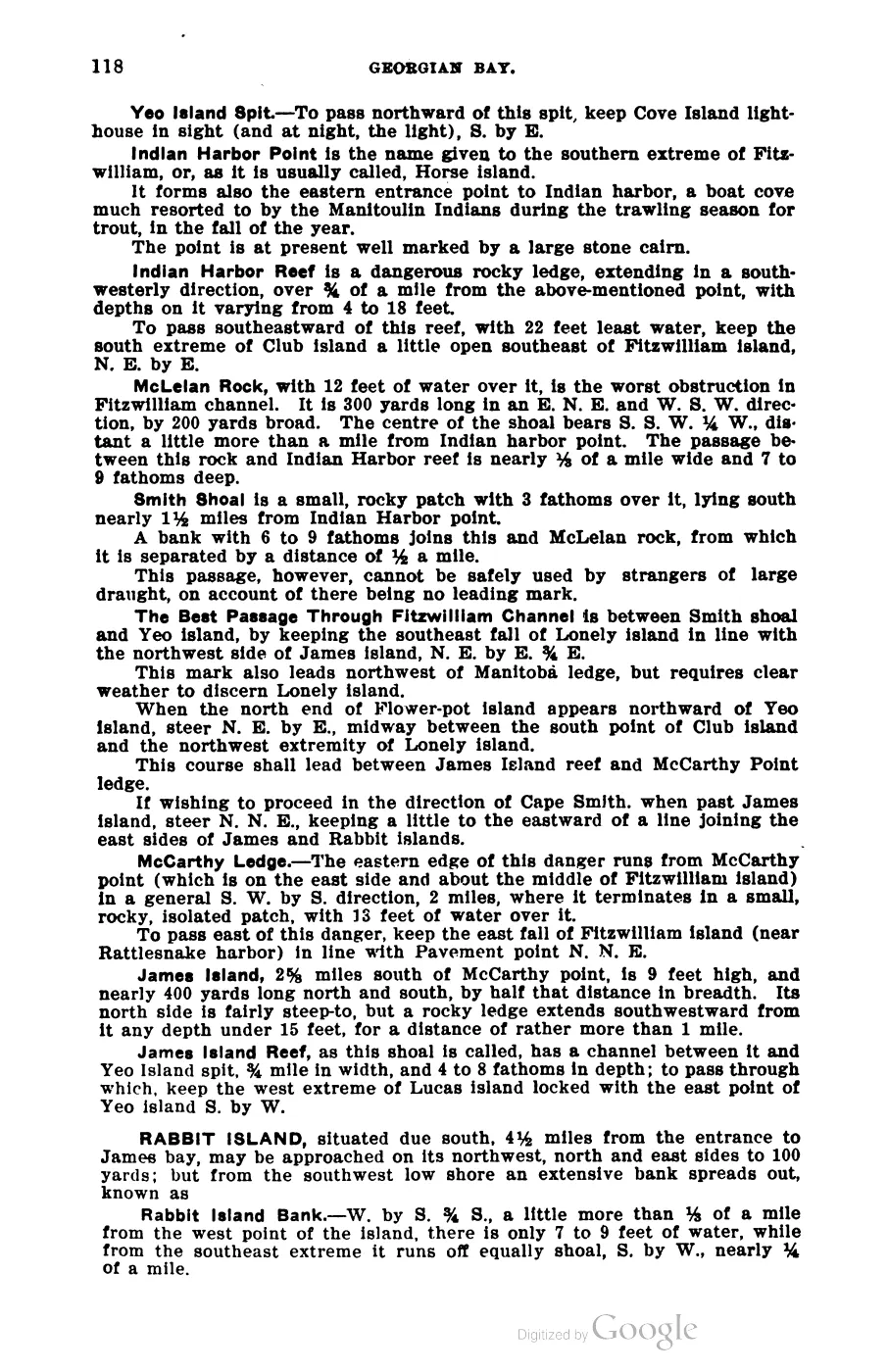
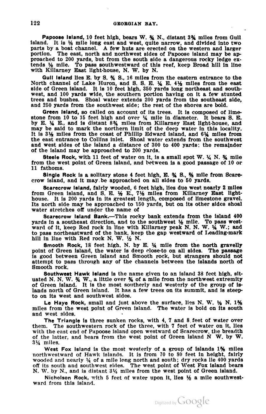
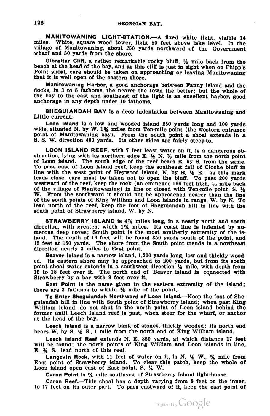
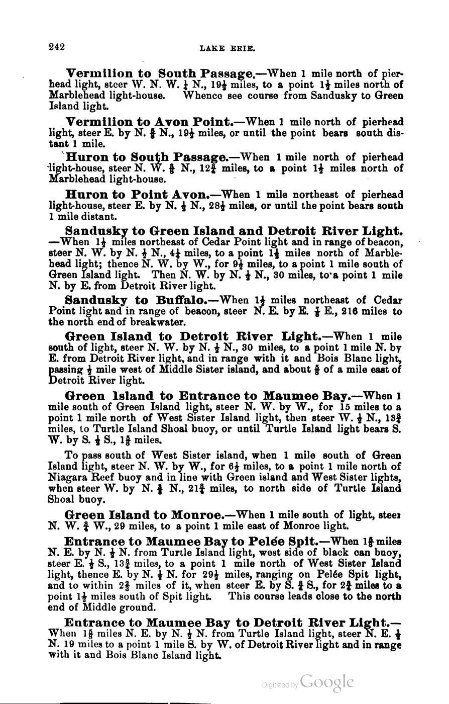
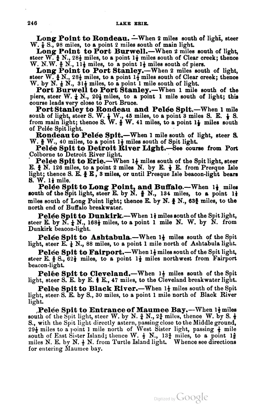
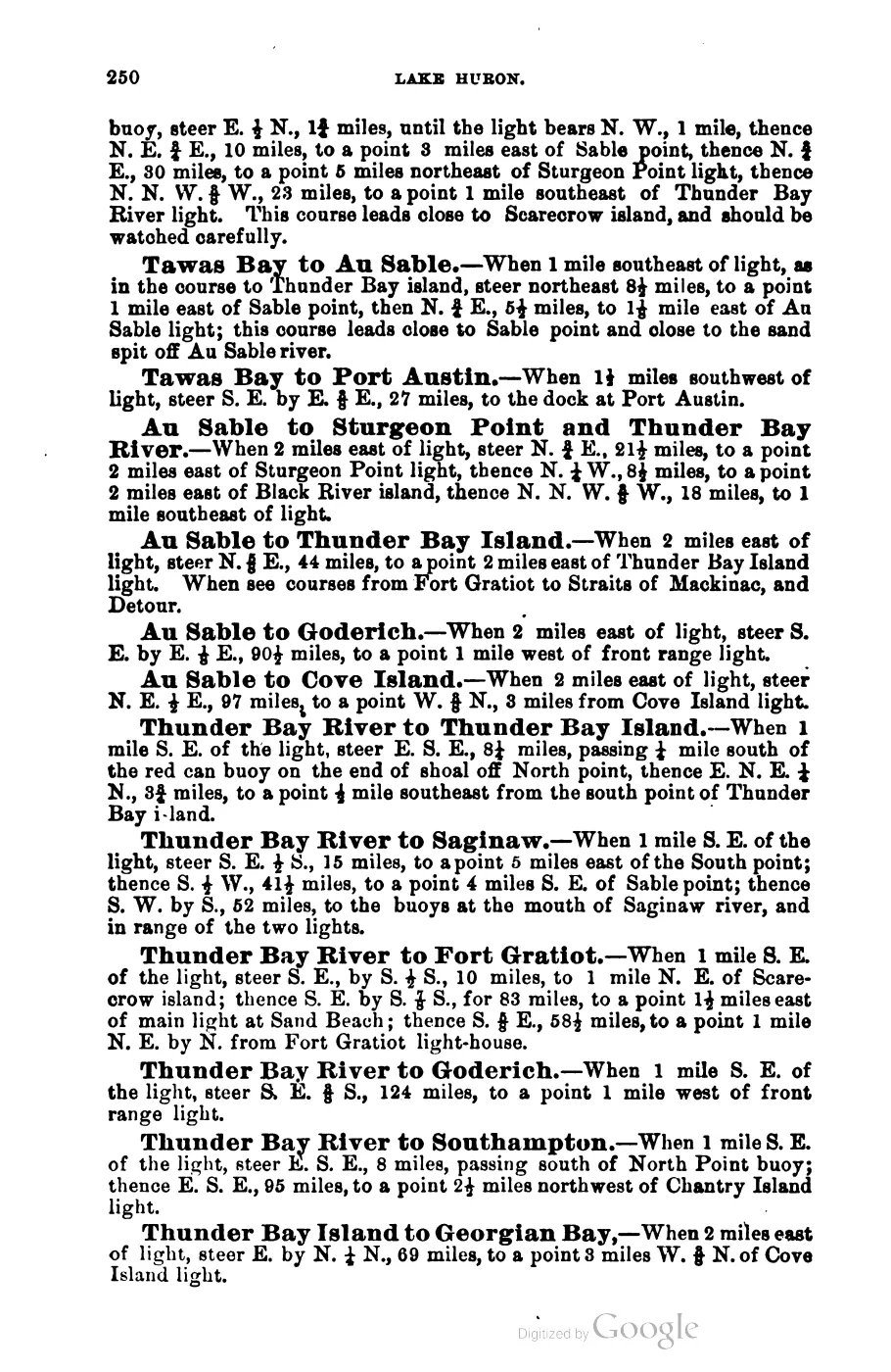
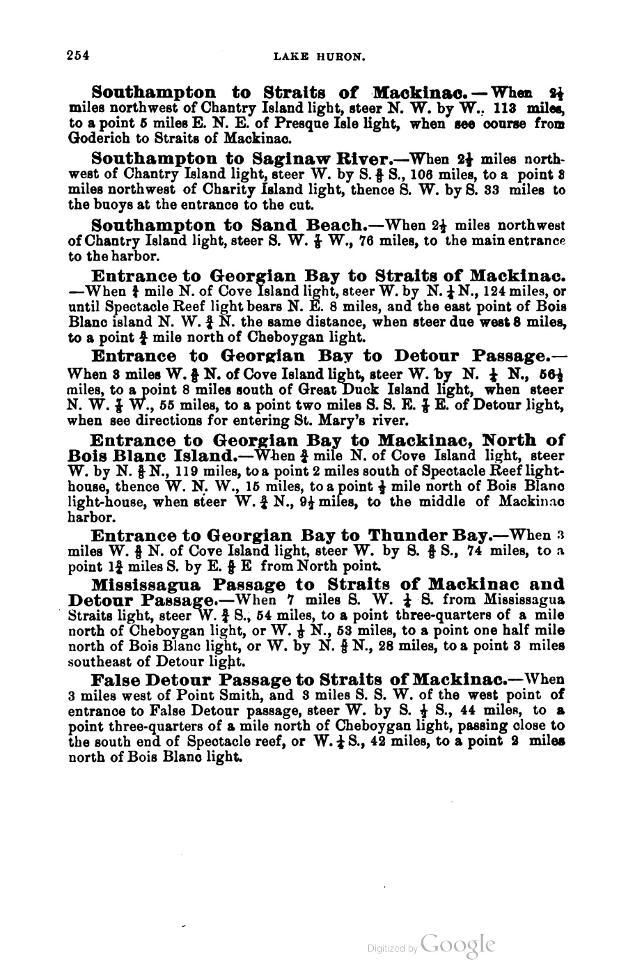
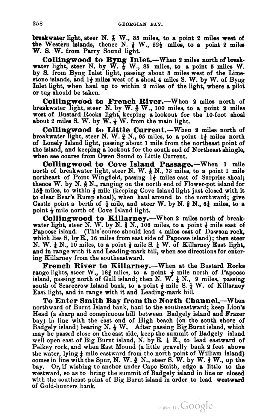
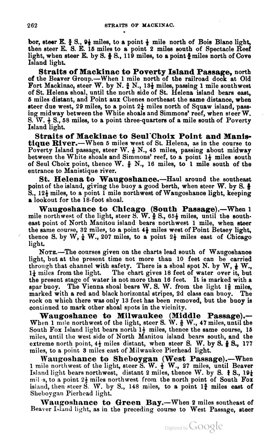
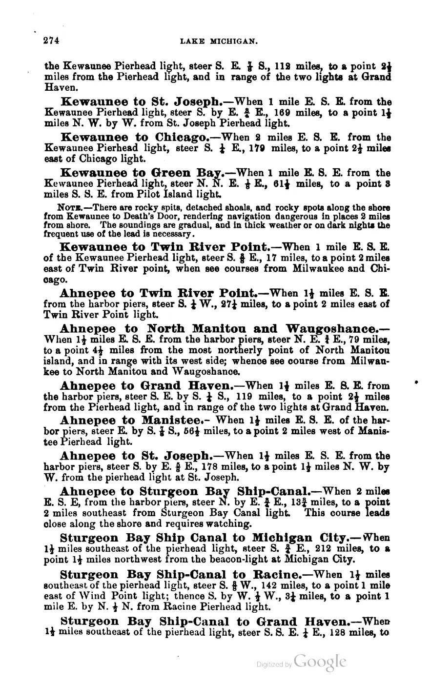
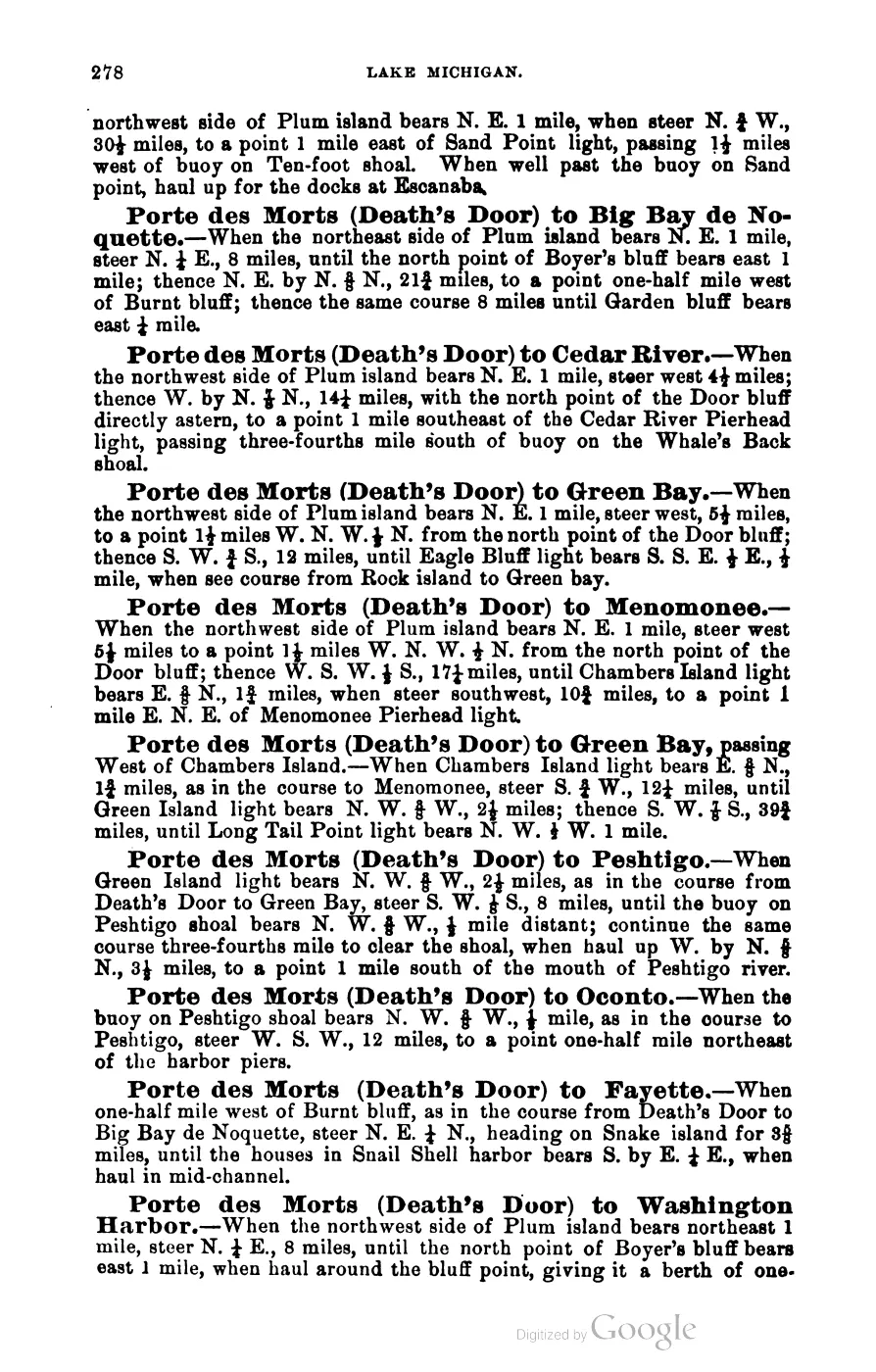
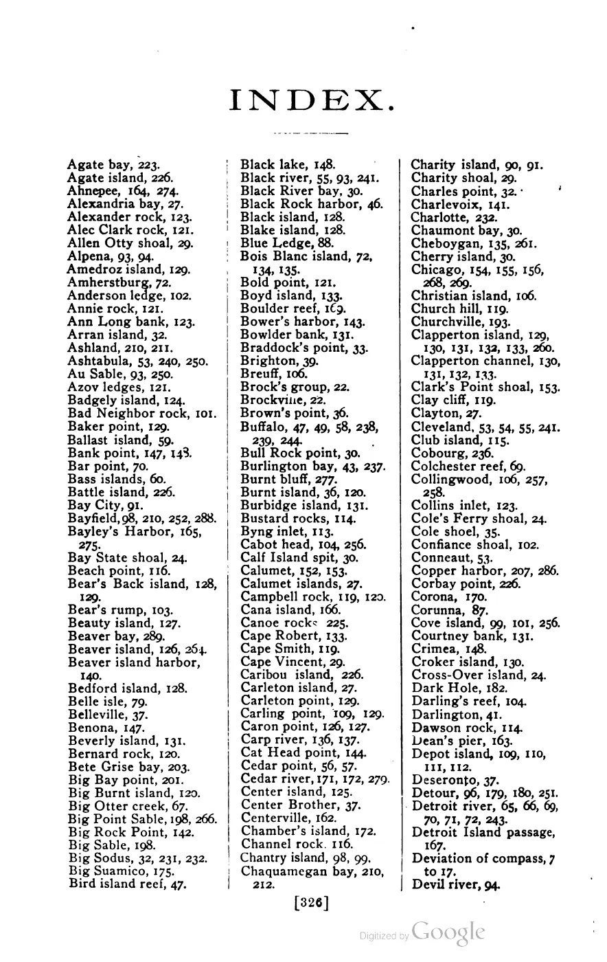
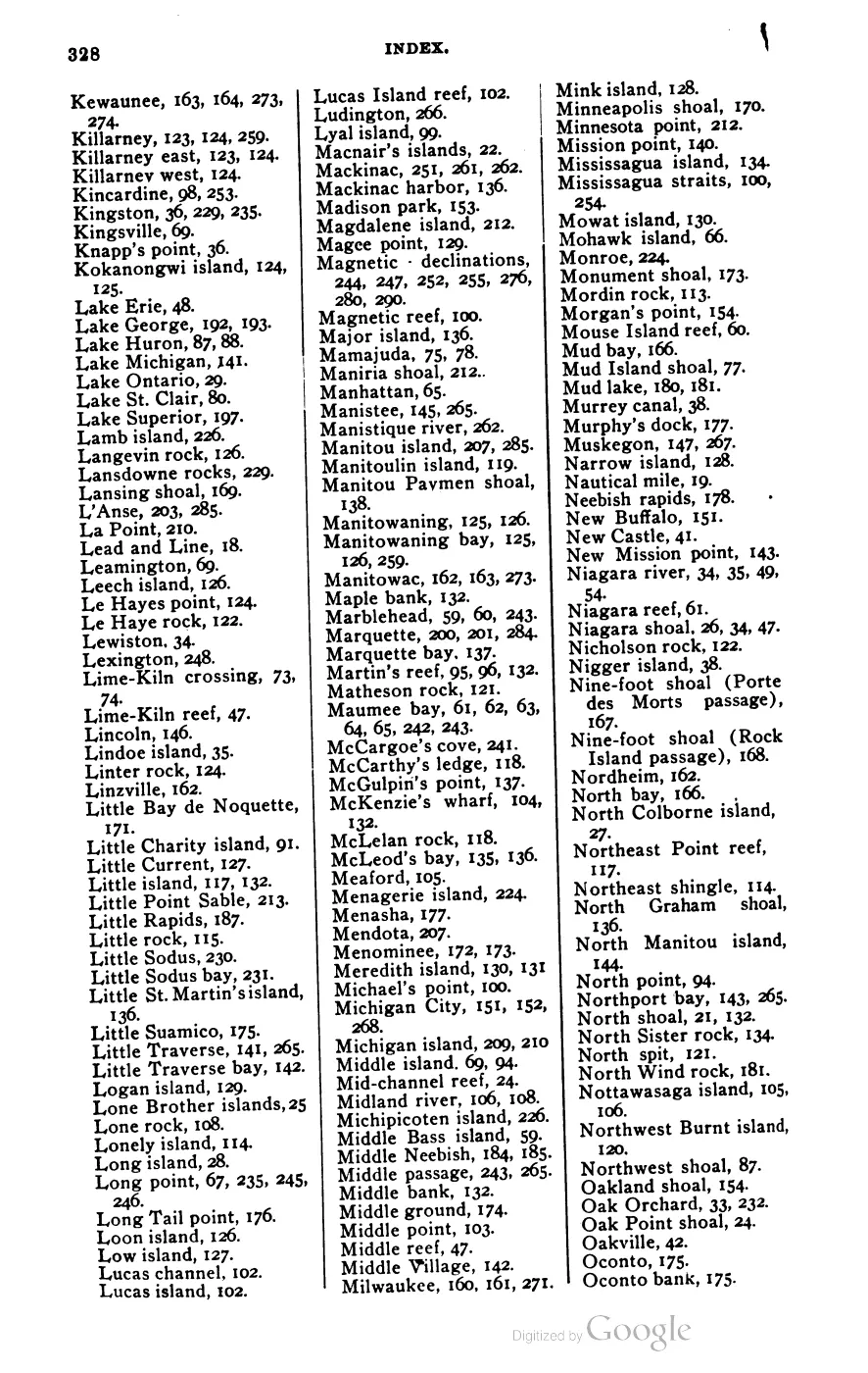
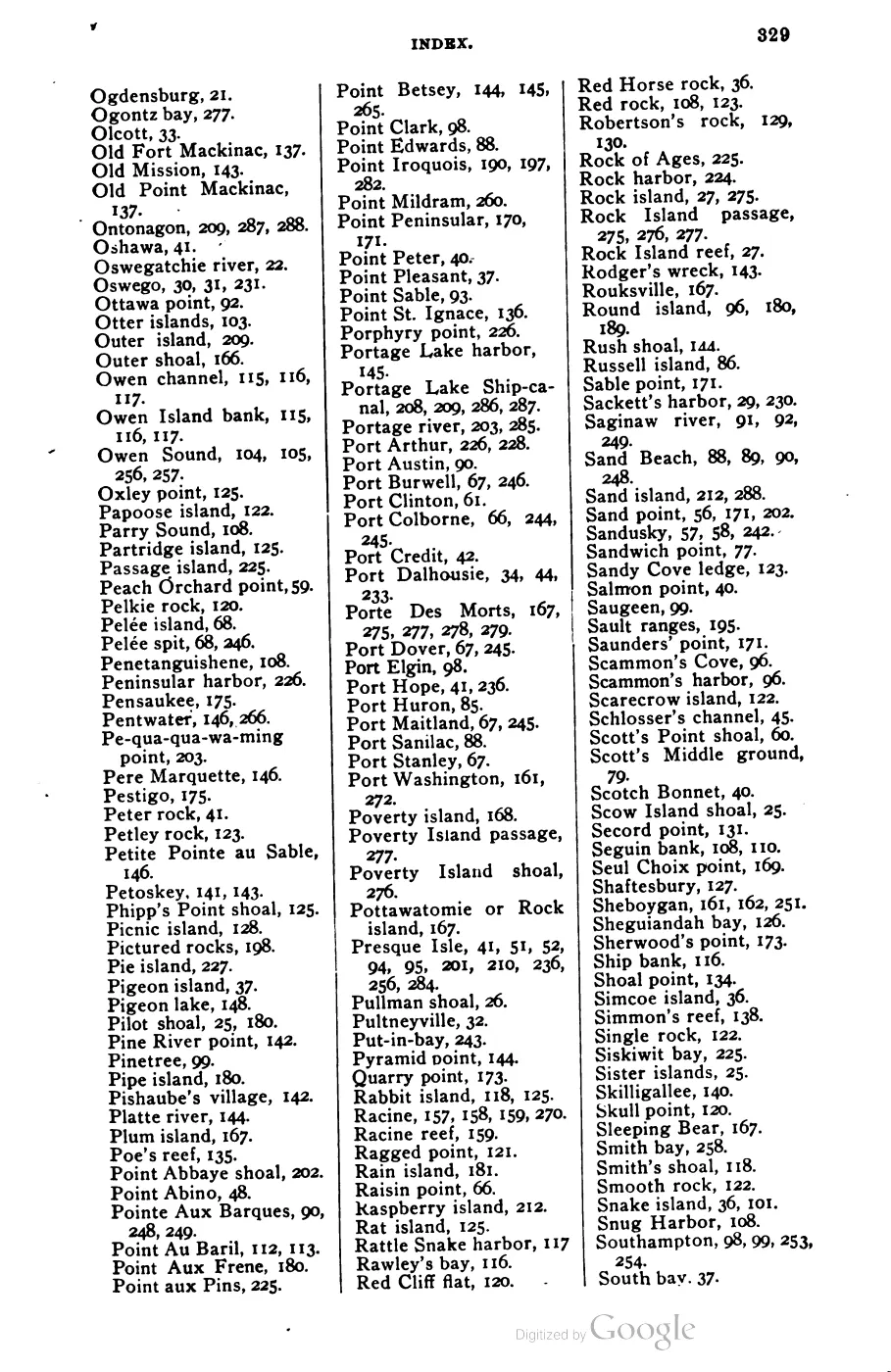
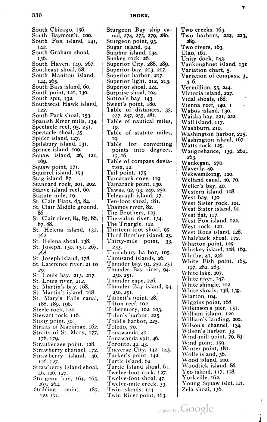





Sources
- External entity identifier only; historical claims remain grounded in the sources below.
- Area 150.96 km² computed in EPSG:3078.osm · islands
- GNIS feature 1625037; feature class 'Island'; official name Beaver Island.federal · gnis · gnis_names
- Variant name 'Great Beaver Island' (Society for the Diffusion of Useful Knowledge, North America Sheet V, 1833).federal · gnis · gnis_variant_names
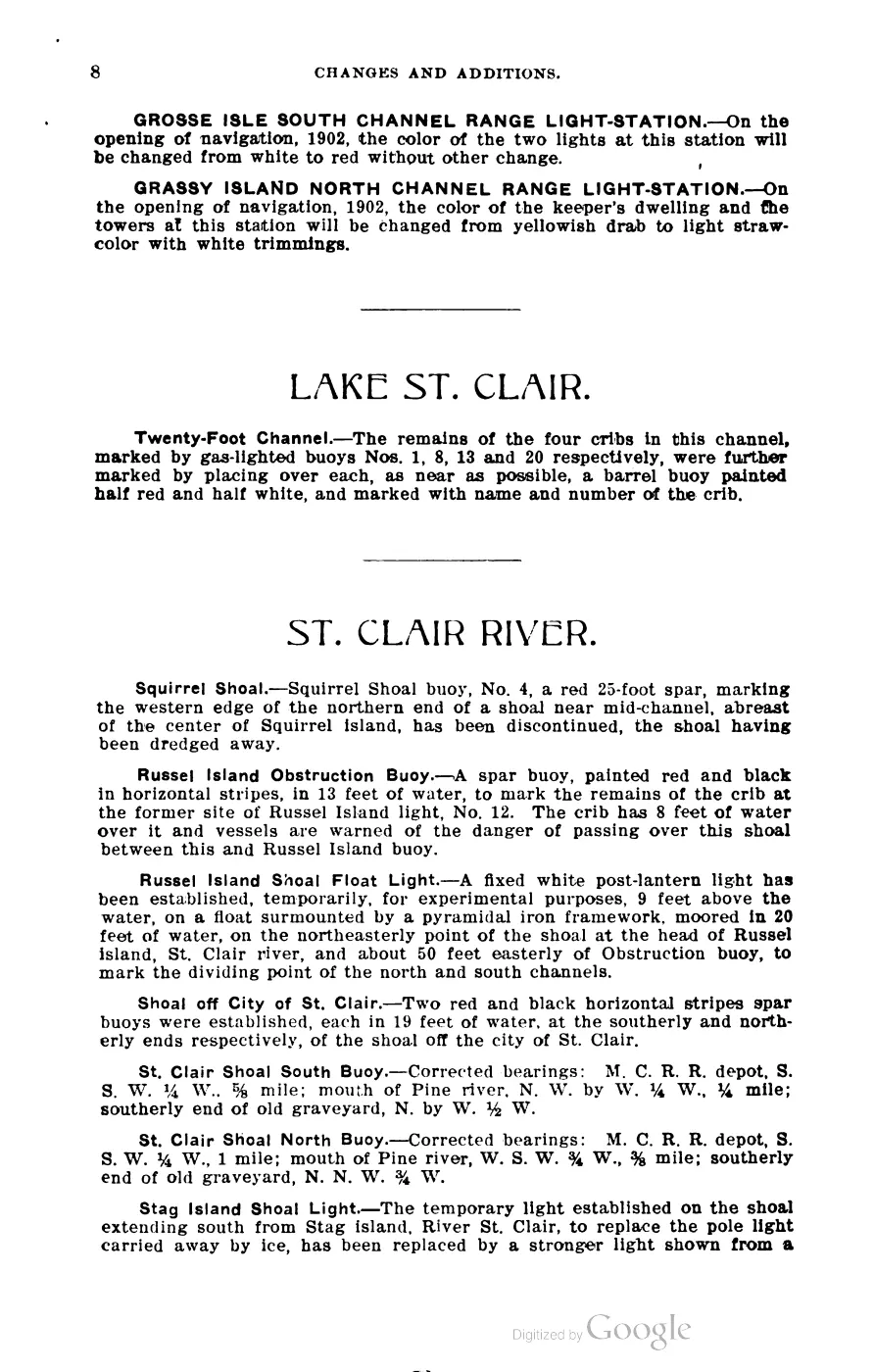
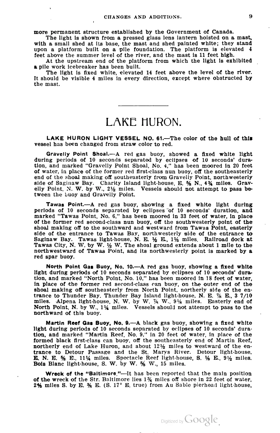
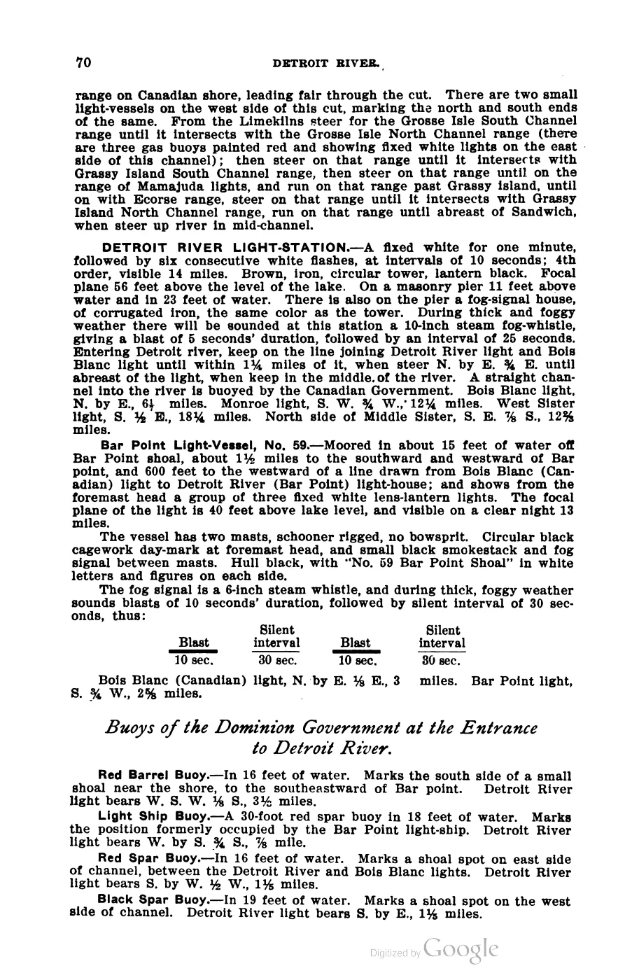
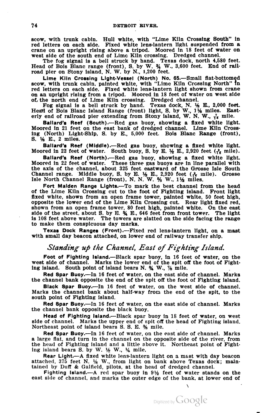
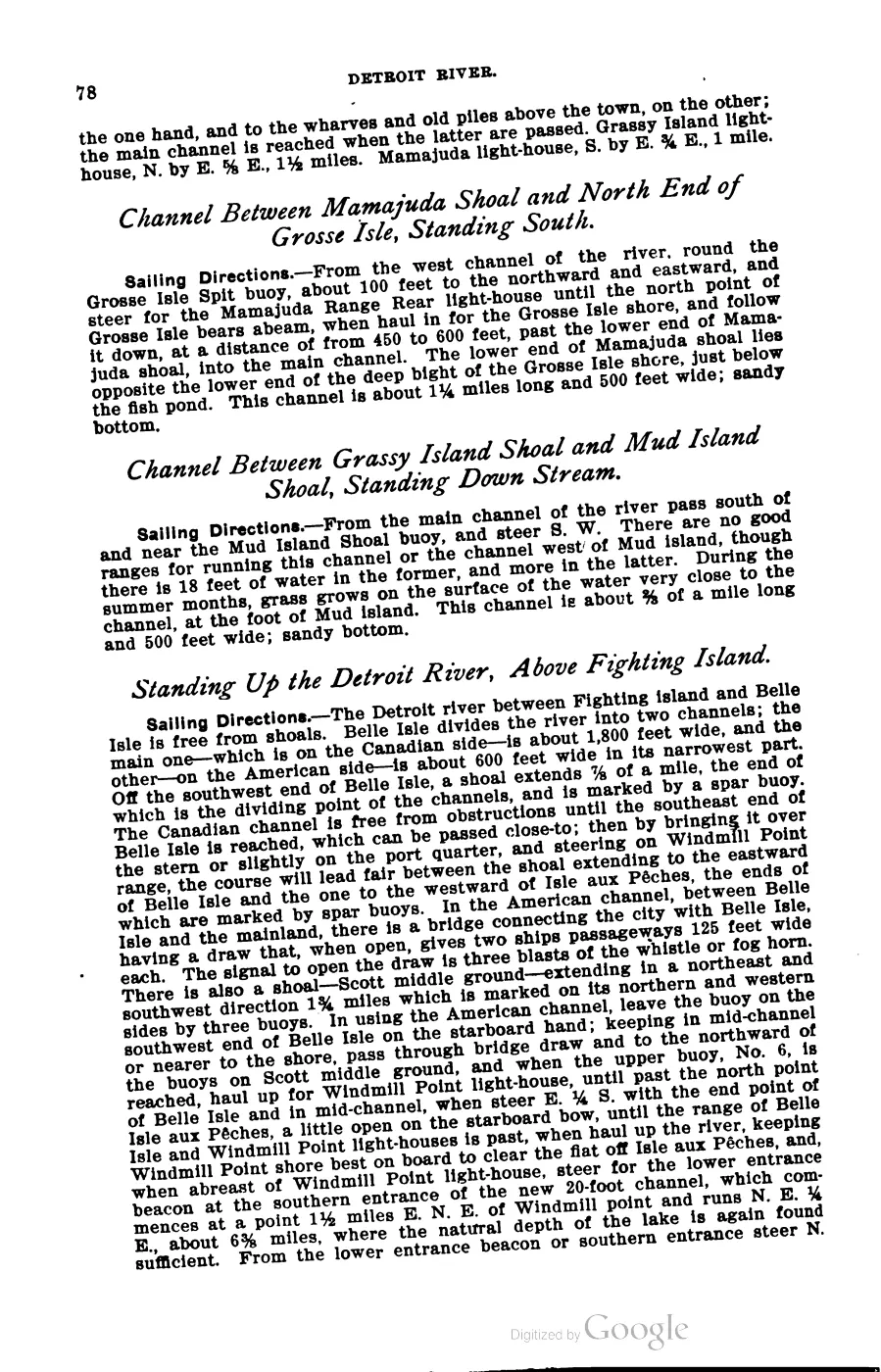
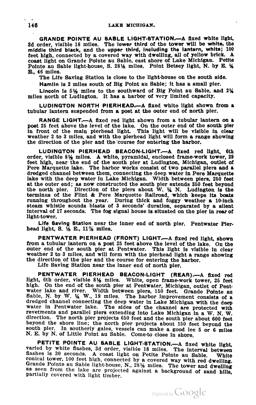
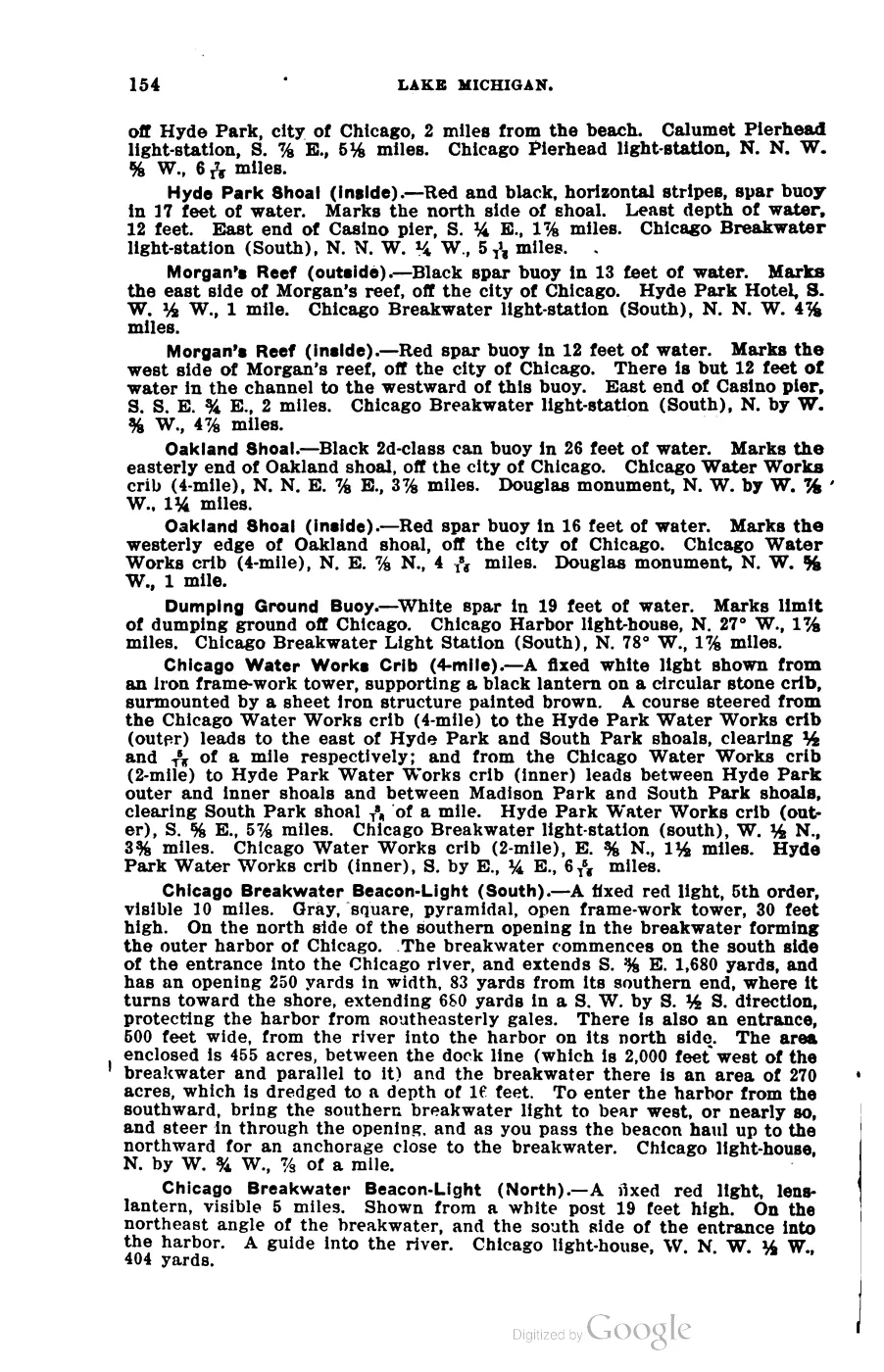
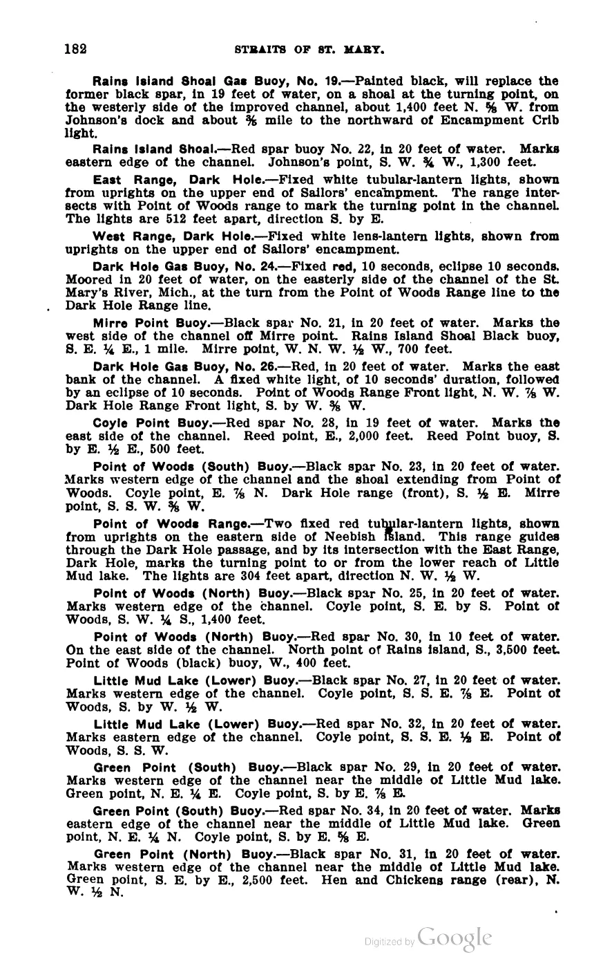
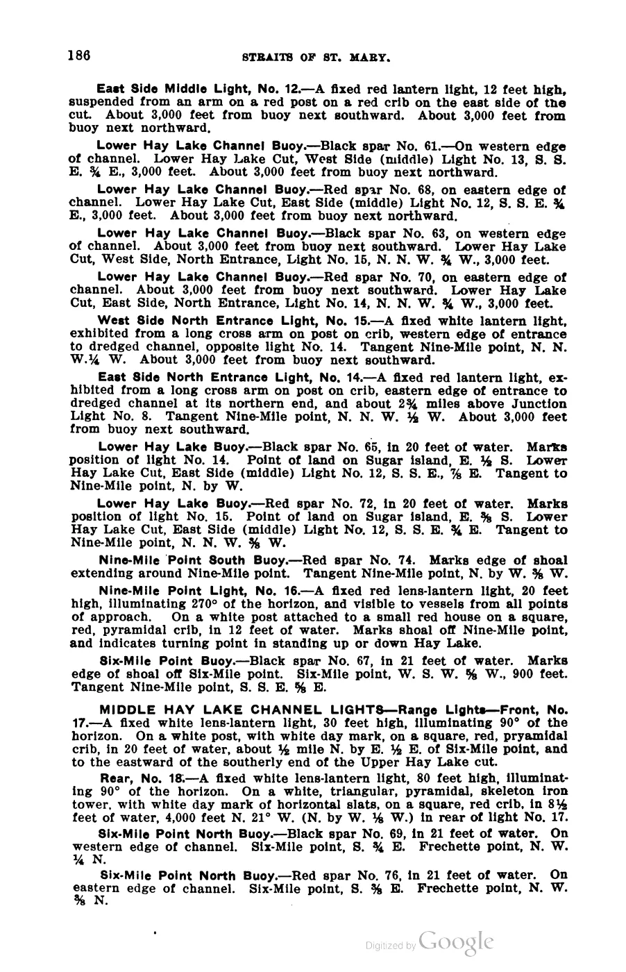
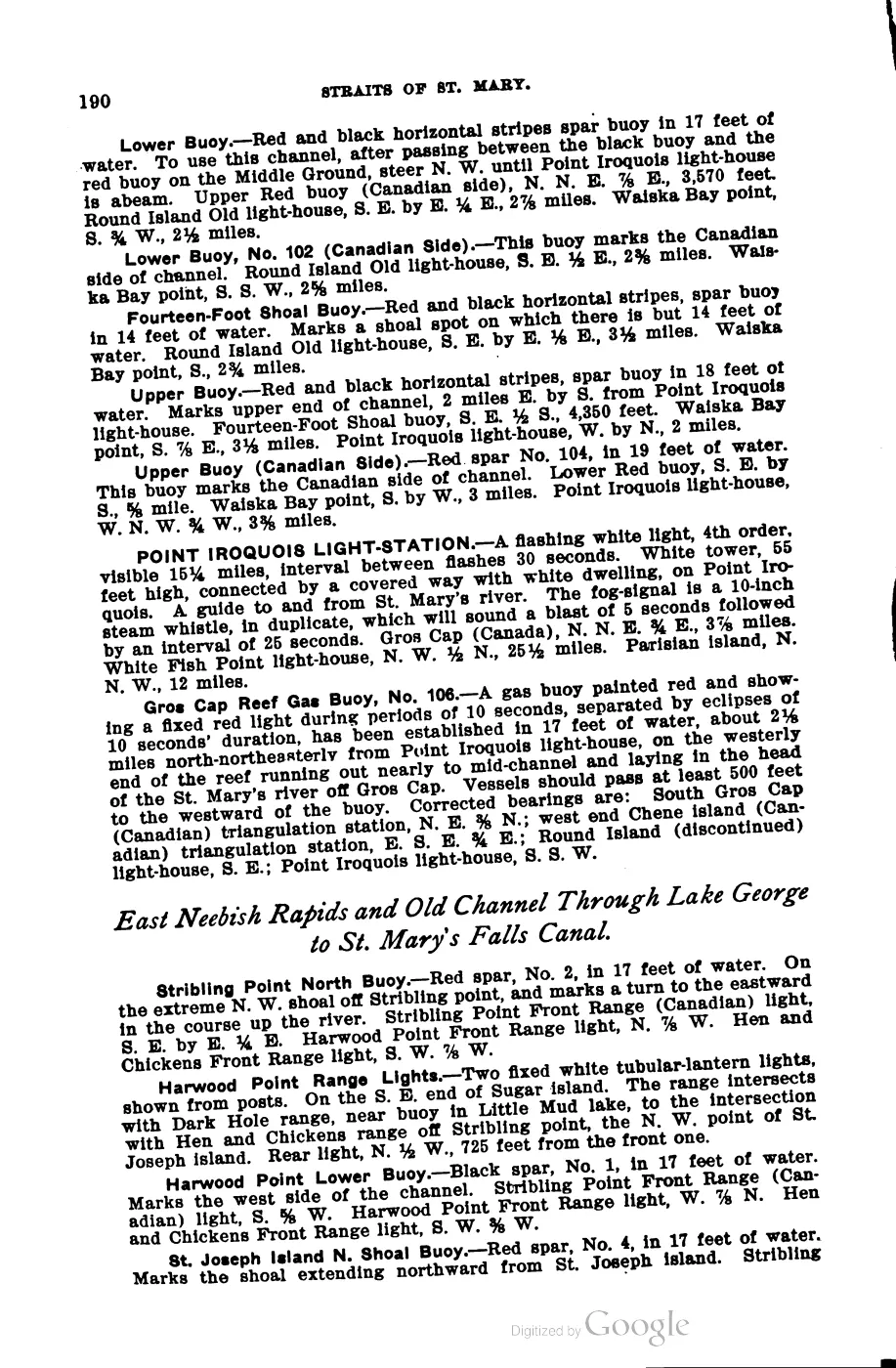
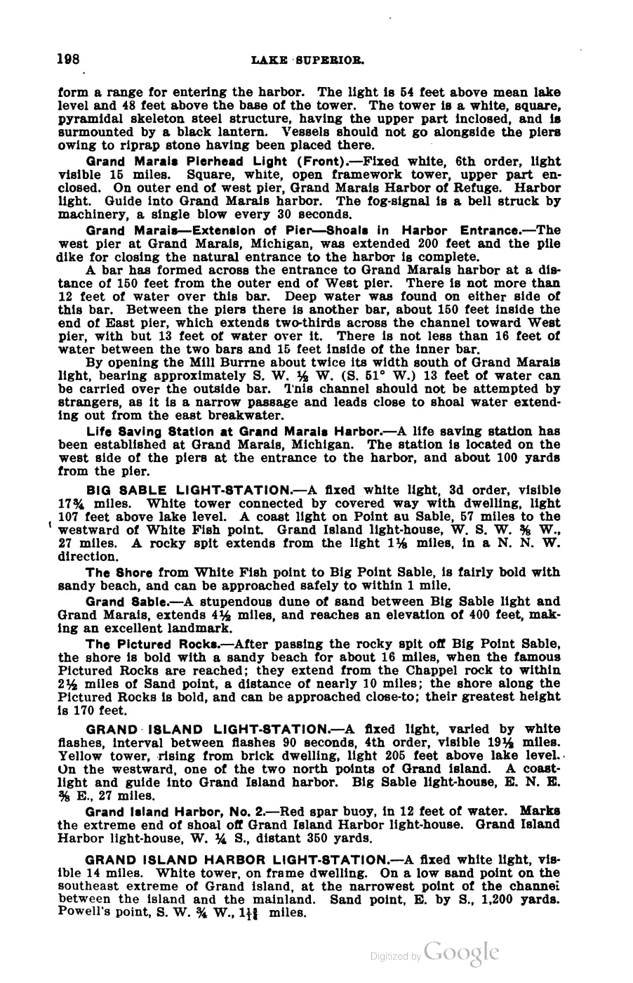
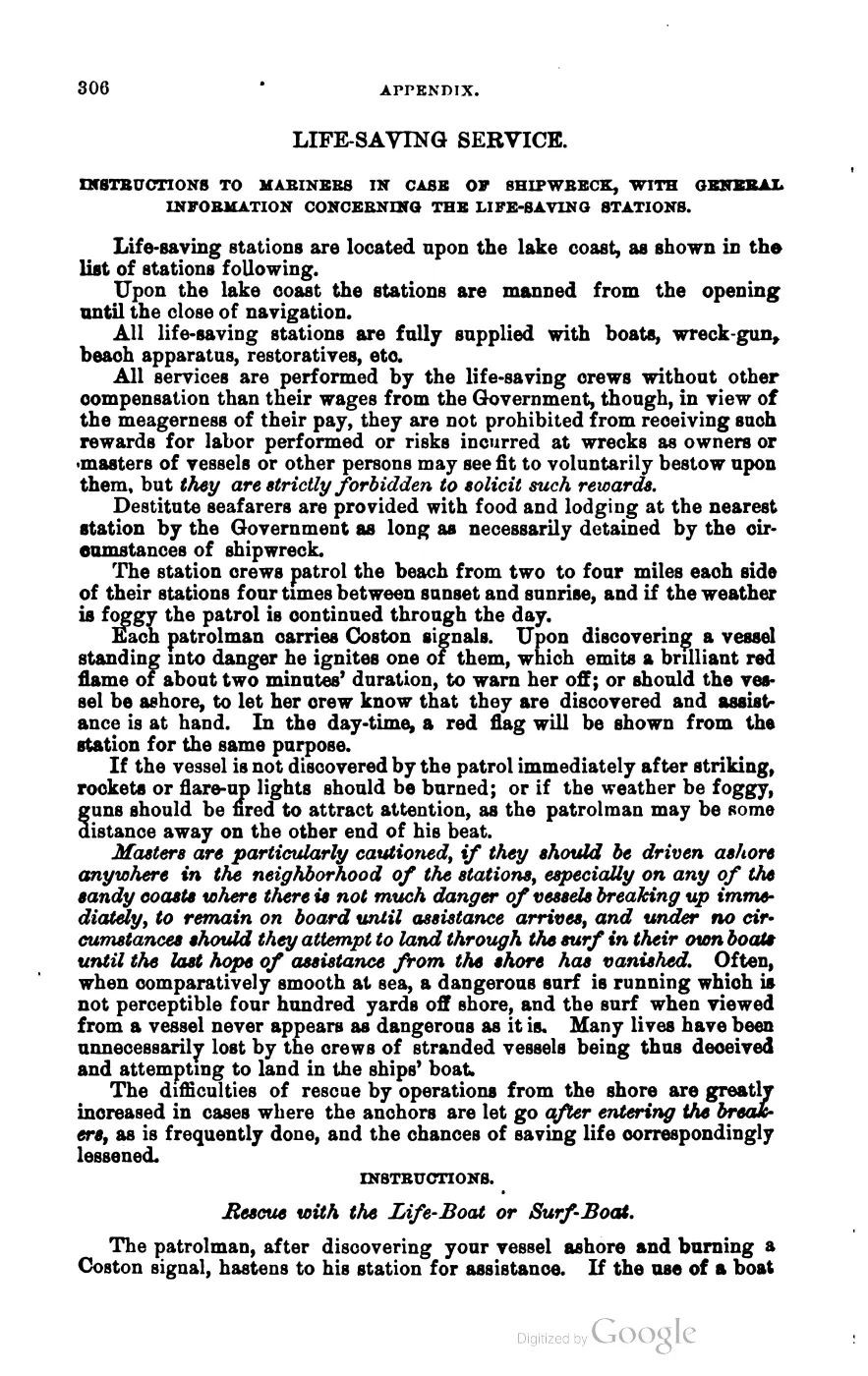
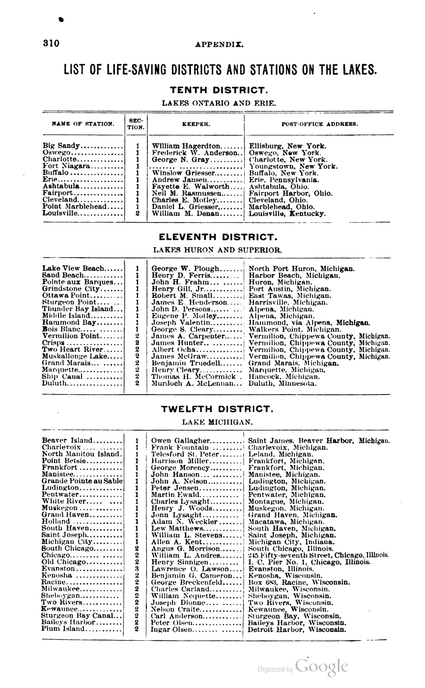
- George Scott, Scott's New Coast Pilot for the Lakes (6th ed., Detroit, 1902), p. 140.BEAVER ISLAND LIGHT-STATION and BEAVER ISLAND HARBOR LIGHT-STATION entries: fixed white light varied by flashes, 4th order, visible 18 miles, yellow brick tower 40 feet high on a bluff about 60 feet high at the south end of the island; a separate fixed red light, 4th order, on the north side of the harbor entrance. First-class steam-siren fog signal. No public copy of this file is known; the archive holds one and can provide it on request.local_documents · 1902_scott-new-coast-pilot-for-the-lakes-6ed
- Beaver-dam etymology for the island's name; description of the six inland lakes and of "Mount Pisgah," the dune above the harbor, with a view of the surrounding islands.
- 'In 1847 the Beaver Islands were erected into the township of Peaine' — the island's first civil organization.
- Combined population of St. James and Peaine townships, which together cover the whole island and no mainland: 551 (2000), 657 (2010), 525 (2020).demographics · township_population_series
- 140.69 km² of the 189.2 km² mapped within the AOI bounding box is classed beech-sugar maple-hemlock forest; a reconstruction, not a direct observation.state · michigan · land_cover_circa_1800
- 'Amikogenda, Beaver-Island, in Lake Michigan' — the earliest print attestation found of the Anishinaabemowin name; verified on the page image. Repeated in the 2nd ed. (1878), p. 25.
- Described in this archive: Ojibwe People’s Dictionary entries for amik and minis.Modern lexical context for “beaver” and “island”; it does not by itself reconstruct, normalize, or privilege any historical Beaver Island toponym.web · opd_amik
- Modern lexical context for “island”; it does not by itself reconstruct, normalize, or privilege any historical Beaver Island toponym.web · opd_minis
- 'les Isles du Castor' three times: Ottawa dispersal to the islands (1721); Ottawa refugees planting maize there; passed 1 Aug 1721, 'fort bien boisées'. The visually checked English translation is the 1770 volume II record at document/charlevoix-journal-of-a-voyage-1770-volume-2.
- 'I will merely begin at the Beaver Islands [Isles du Castor], where some families have their cabins and fields of Indian corn' — the earliest French narrative naming found, with Anishinaabe corn agriculture.
- Labels the group 'Beaver I.' — the earliest English form found; master TIFF and JP2 alongside.maps · loc · mitchell_1755_ar003900 · beaver_label_crop
- Described in this archive: Treaty of Washington with the Ottawa, etc., 1836.'The Beaver islands of Lake Michigan for the use of the Beaver-island Indians'; schedule names Kainwaybekis and Pazhikwaywitum of Beaver islands.web · treaty_1836_washington
- 'Beaver Islands... Big Beaver is the most considerable'; prints the Lake Superior namesake directly beneath the entry (period name collision).
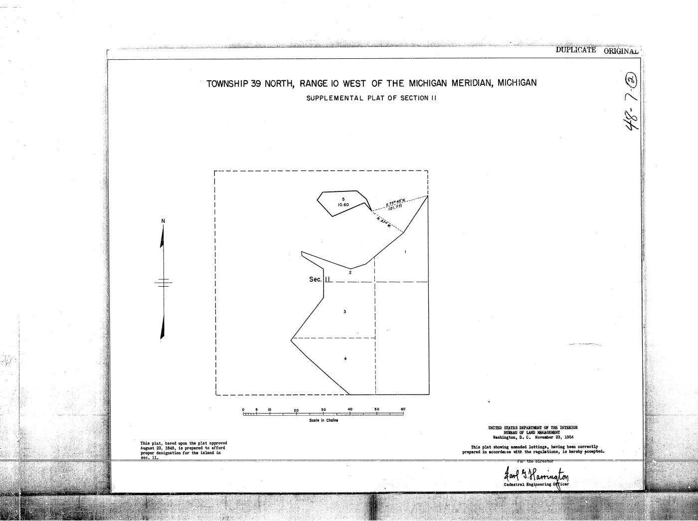
- Described in this archive: GLO survey plat: T39N R10W.The held image-only plat visibly labels “BIG BEAVER I.” and “GARDEN ISLAND.” It establishes the map label and survey context, not title, occupancy, or an exhaustive transcription of the sheet.federal · glo_plats · 39n10w
- Charlevoix County Herald, July 22, 1938, “Deer Hunting On Beaver Island.”Reports that deer hunting would reopen after a decade-long closure, following the stocking of 17 deer in 1927 and 1928; gives a newspaper estimate of about 500 deer and summarizes I. H. Bartlett’s spring investigation. No public copy of this file is known; the archive holds one and can provide it on request.
- Charlevoix County Herald, October 20, 1950, “Perch Fishing And Bird Hunting at its Peak on Beaver Island.”Reports a strong St. James perch run, a 1,750-pound one-day catch, introduced game birds and rabbits, planned conservation observation, and seasonal ferry and airplane access; it does not provide a complete population or harvest series. No public copy of this file is known; the archive holds one and can provide it on request.
- Reports the new Emerald Isle’s April arrival, maiden voyage to Charlevoix, and public christening at Saint James.data1 · beaver-island-archive · beaver_beacon · 1955-05_Beaver-Beacon
- The held four-page issue scan is paired with the OCR source and confirms the published notice or report; it does not expand the source-specific identity, event, or outcome claims.data1 · beaver-island-archive · scans · beaver_beacon · issues · 1955-05_Beaver-Beacon
- Charlevoix County Herald, June 29, 1945, “BEAVER ISLAND — Islands have a way of doing things to people.”Feature account of Saint James, High Island, a conservation fish-net patrol, the Shamrock Inn, fishing work, and George Stephenson’s reported Sandy Bay cabin; retrospective and descriptive claims are kept attributed rather than treated as a complete census or institutional history. No public copy of this file is known; the archive holds one and can provide it on request.
- Charlevoix County Herald, September 2, 1932, “FIVE FERTILIZER EXPERIMENTS STARTED ON BEAVER ISLAND.”Reports an August 26–27 soils visit, 21 soil samples, subsoil examination, five planned alfalfa fertilizer trials, five cooperating farmers, and a soils map for island farms; it does not preserve the later analyses or trial results. No public copy of this file is known; the archive holds one and can provide it on request.
- Charlevoix County Herald, July 30, 1937, “Beaver Island Bull Clubs Visited Last Week.”Reports the July 21–22 visit to four bull-association animals, four purebred Shorthorn bulls placed on Beaver Island May 1, 1935, qualitative offspring improvement, and a planned rotation between associations; it does not name the associations, farmers, or bulls. No public copy of this file is known; the archive holds one and can provide it on request.
- Charlevoix County Herald, June 20, 1941, “County Agents Summer Conference At St. James, Beaver Island.”Announces the second County Agents Summer Conference for June 23–24, with about 60 extension workers and their wives expected, a planned island tour and St. James Town Hall party, and the King Strang Hotel as headquarters. No public copy of this file is known; the archive holds one and can provide it on request.
- Charlevoix County Herald, May 11, 1945, “East Jordan’s FFA Lads Have Enjoyable Outing At The Beaver Islands.”Reports seven East Jordan FFA boys and teacher L. B. Karr camping on Beaver Island May 6–7, with baseball, a picture show, fishing, cooking, and return on the Mary Margaret; it does not identify the campsite or vessel history. No public copy of this file is known; the archive holds one and can provide it on request.
- Charlevoix County Herald, November 9, 1951, “Beaver Island To Be Honored.”Announces a planned National Conservation Award for the Beaver Island Game Club and gives a retrospective 1922–1950 wildlife-stocking sequence; the source’s deer count and chronology are preserved against the conflicting 1938 report. No public copy of this file is known; the archive holds one and can provide it on request.
- Charlevoix Courier, January 1, 1969, “Friday’s storm fails to halt final run for boat” and “Beaver Islander’s last trip.”Reports the Beaver Islander’s 299th and final 1968-season trip, its winter supply cargo, the storm return, and a contemporary year-round population estimate of about 225; the estimate is not treated as a census. No public copy of this file is known; the archive holds one and can provide it on request.
- Held raw issue OCR preserves the population, ferry, and winter-supply report independently.
- Project-generated seven-island ecology connectivity matrix (2026).Described in this archive: Seven-island ecology connectivity matrix, 2026.Provides the comparable Beaver row: 1,634 tree/woody evidence rows, 1,410 plant evidence rows, 17 MNFI occurrences, 48 animal/bird records, 424 DNR stands, 65.50% mean 2023 canopy, and 33 SSURGO map units. Counts are evidence records or island-context summaries, not individuals, abundance, or complete inventories. No public copy of this file is known; the archive holds one and can provide it on request.research · island_farming · crosswalks · archipelago_ecology_connectivity_matrix_2026
- Project-generated Michigan DNR public forest-inventory stand/covertype crosswalk (2026).Described in this archive: Michigan DNR public forest inventory stand covertype crosswalk, 2026.Clips 424 public-inventory stands to the held Beaver Island working boundary and preserves cover-group, stand, area, and island-context limits; it is not a private-land inventory or cadastral layer. No public copy of this file is known; the archive holds one and can provide it on request.research · forest_inventory · indices · mdnr_forest_inventory_island_stands_2026-08-03
- Described in this archive: MNFI Natural Community Surveys of Beaver Island Archipelago, 2017.Provides named natural-community records, soil/hydrology facets, tree and plant terms, disturbance, stewardship, and animal/bird observations for the survey-bounded occurrences; it is not a whole-island inventory.research · island_farming · indices · mnfi_natural_community_surveys_beaver_archipelago_2017_11
- Project-generated soil, substrate, hydrology, and landform evidence crosswalk (2026).Described in this archive: Soil, substrate, hydrology, and landform evidence crosswalk.Adds source-separated soil, wetland, dune, shoreline, GLO, MNFI, and regional-map context for Beaver Island without assigning a mapped unit to a parcel or occurrence. No public copy of this file is known; the archive holds one and can provide it on request.research · island_farming · indices · soil_landform_evidence_crosswalk

Added 28 July 2026 · revised 4 August 2026. Recent changes
Cite this article
Beaver Island Archive, “Beaver Island”, https://beaverislandarchive.org/places/beaver-island/, accessed [date], citing Wikidata, Beaver Island (Q813485), retrieved 2026-07-31. (and 33 further sources listed on the page).
Last revised 2026-08-04. Fill in [date] with the date you read it — this page is static and cannot know that.