

- Coordinates
- 45.7925° N, 85.3637° WGoogle Maps: Hog IslandDownload KML
- Concepts
- environmentforestsvegetationtreeswildlifebirdssoilsgeologymaritimewetlandsconservationhydrologyplantsanimalsstewardshipinvasive-species
- Within
- Beaver Island archipelago
- Media
- Access and infrastructure of the Beaver Island archipelago · Coasts, harbors, and navigation context of the Beaver Island archipelago · Geology and landforms of the Beaver Island archipelago · Hog Island access and infrastructure · Hog Island coasts, harbors, and navigation context · Hog Island geology and landforms + 9 more
Summary
Hog Island is the fourth-largest island in the Beaver Island archipelago at 10.41 km², lying east of Beaver Island. It is entirely state-owned land managed by the Michigan DNR Wildlife Division, valued for its wetlands and as spawning ground for perch and small-mouth bass. A charted shoal off its southeast end, Hog Island Reef, was a recorded hazard to 19th- and early-20th-century shipping in the approach to Beaver Island Harbor. The December 1961 Beaver Beacon places the 1883 stranding of the J. I. Case on that reef, a retrospective location claim. By contrast, a contemporary November 1886 Charlevoix Journal report says a schooner printed as Lafrinier was wrecked on Hog Island, while leaving its exact site unresolved.
History
Hog Island appears in the documentary record almost entirely as a navigational landmark rather than a settlement. Elizabeth Whitney Williams’ 1905 memoir names it among the islands visible from “Mount Pisgah” above Beaver Island’s harbor, placing it “off nine miles to the east.”1 No source read describes a settled community, school, church or post office on Hog Island of the kind documented for Garden Island and High Island; its 20th- and 21st-century history, per the 2023 Beaver Island Master Plan, is that of undeveloped state wildlife land.
Geography
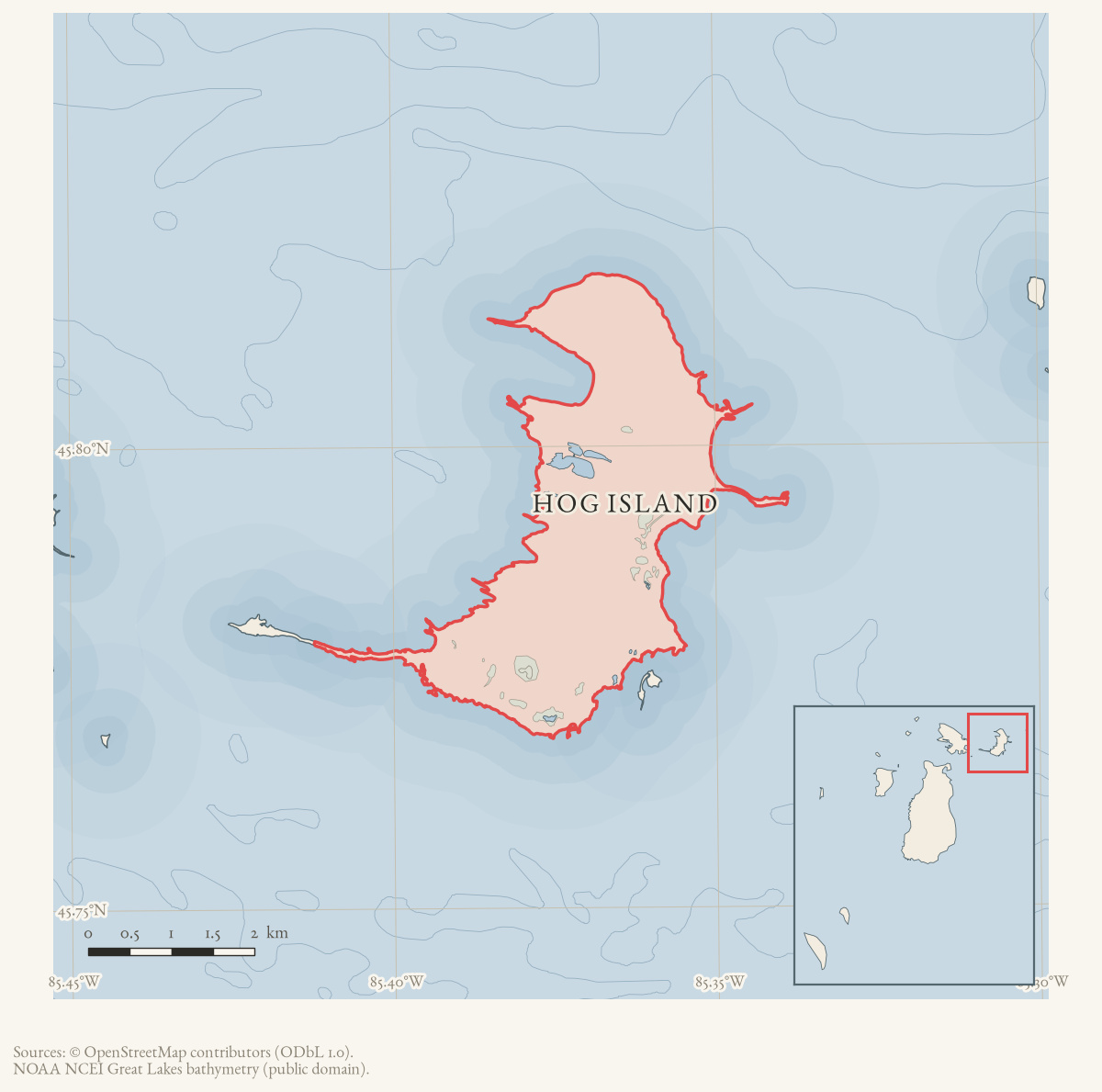
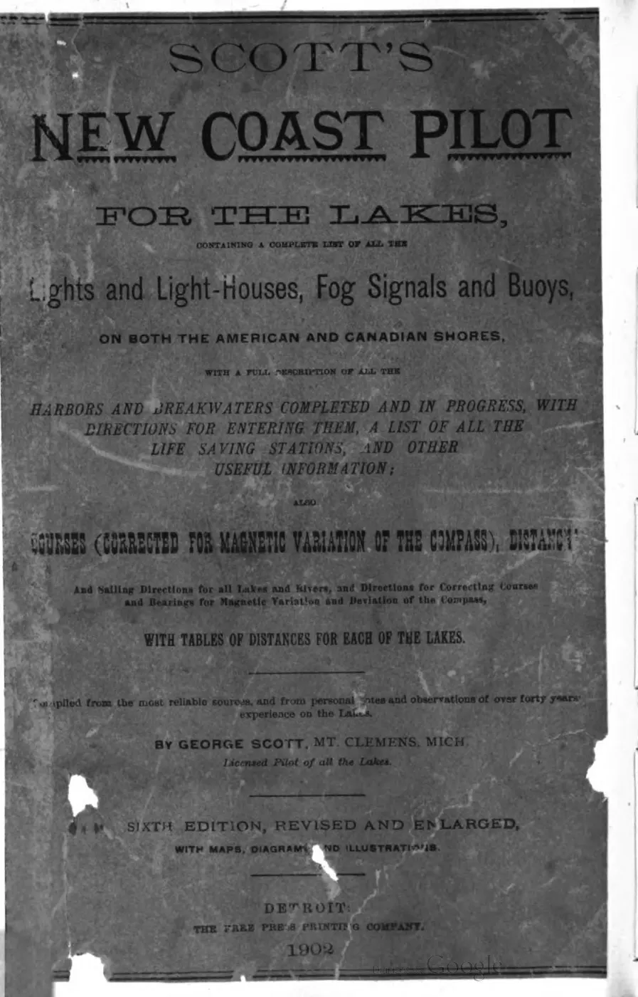
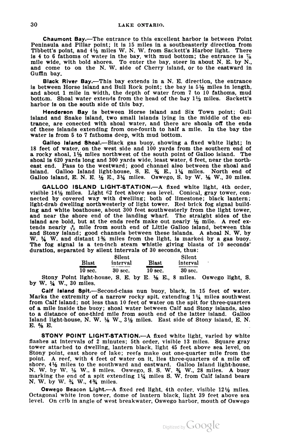
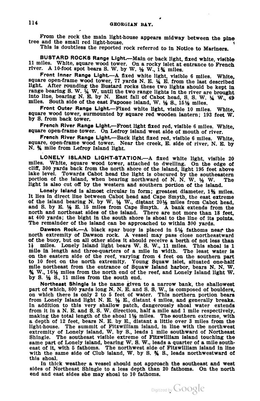
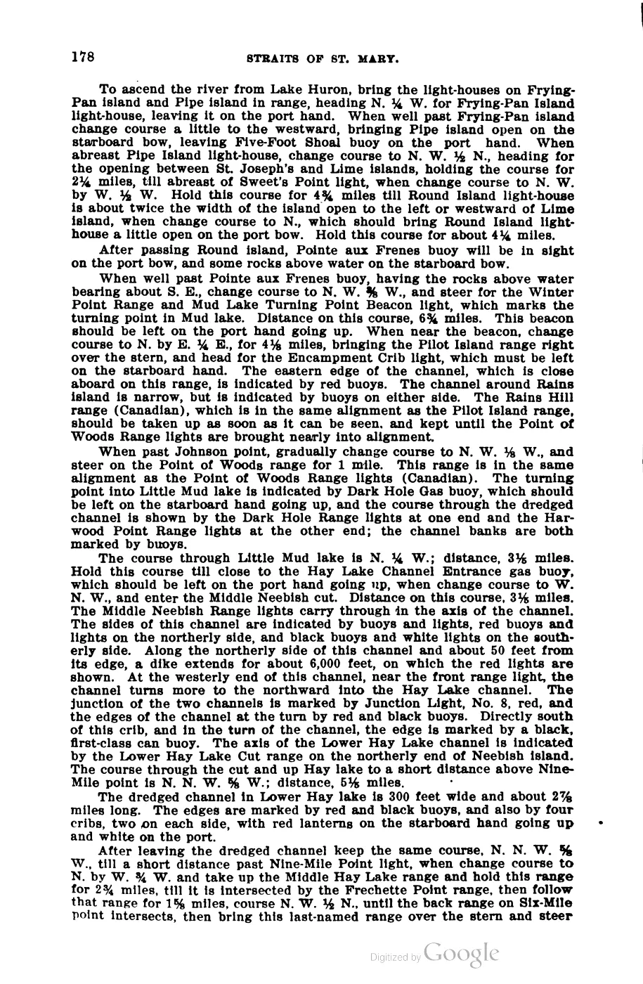
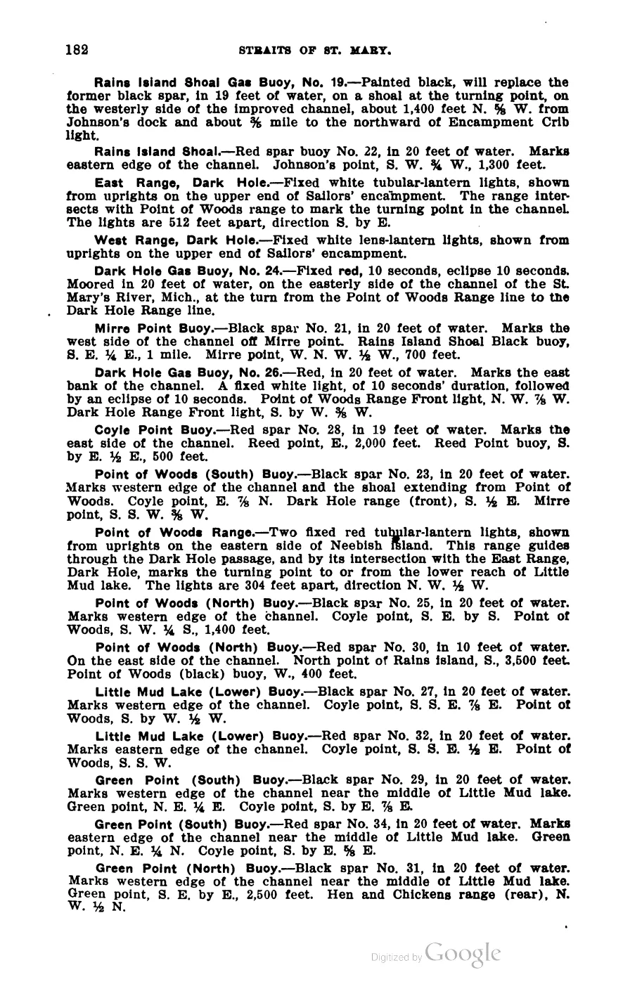
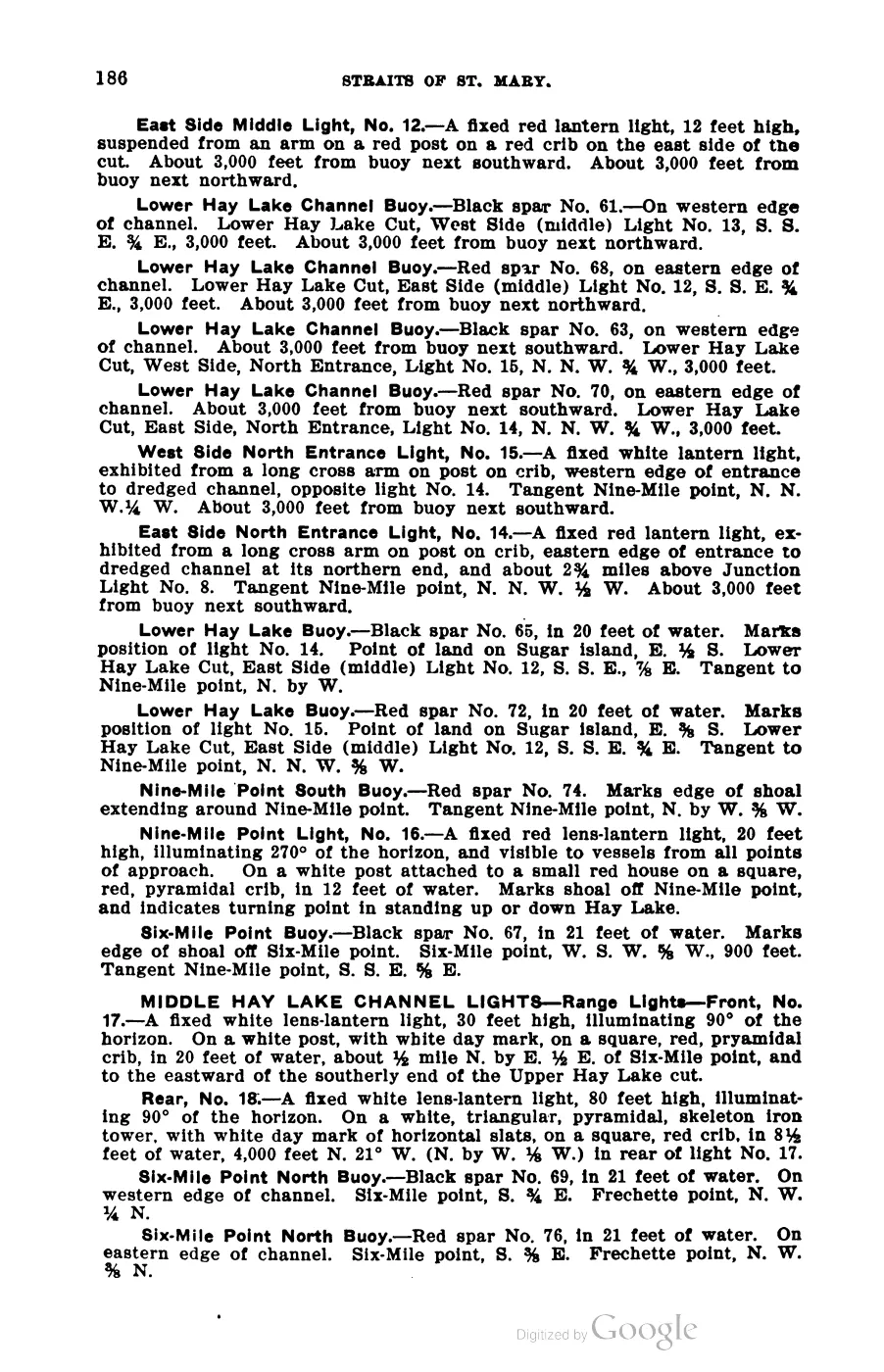
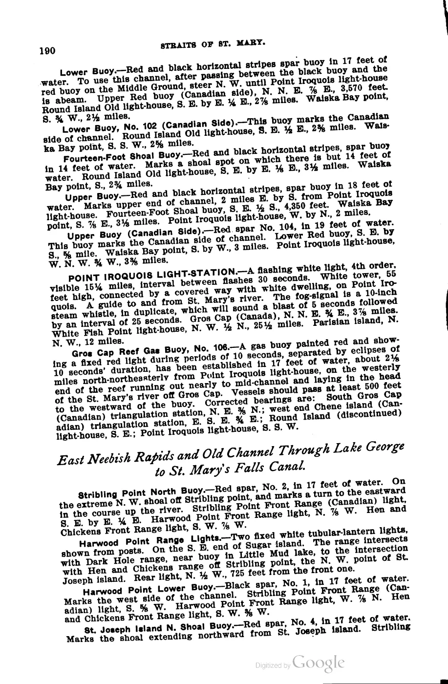
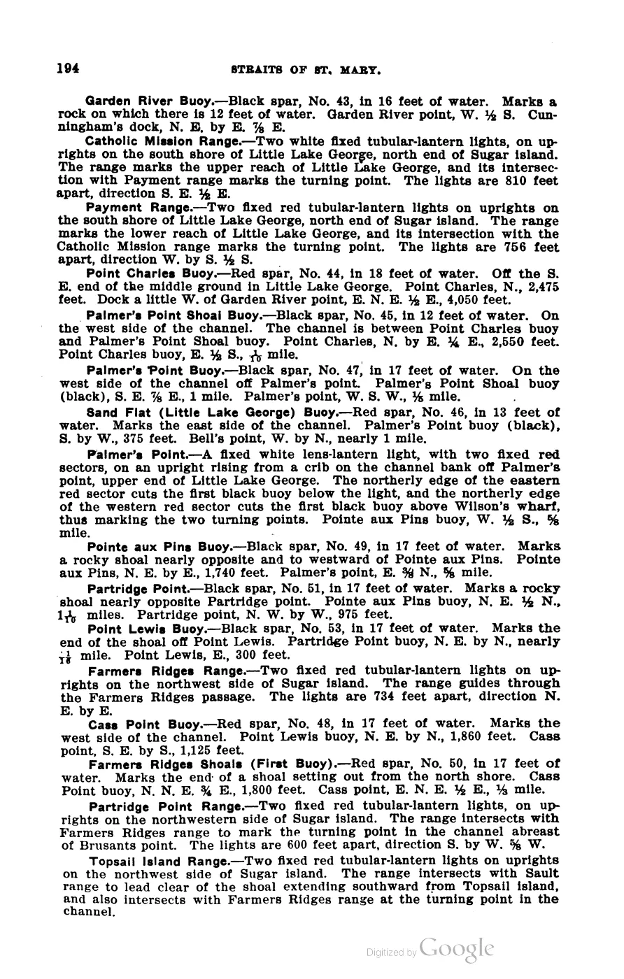
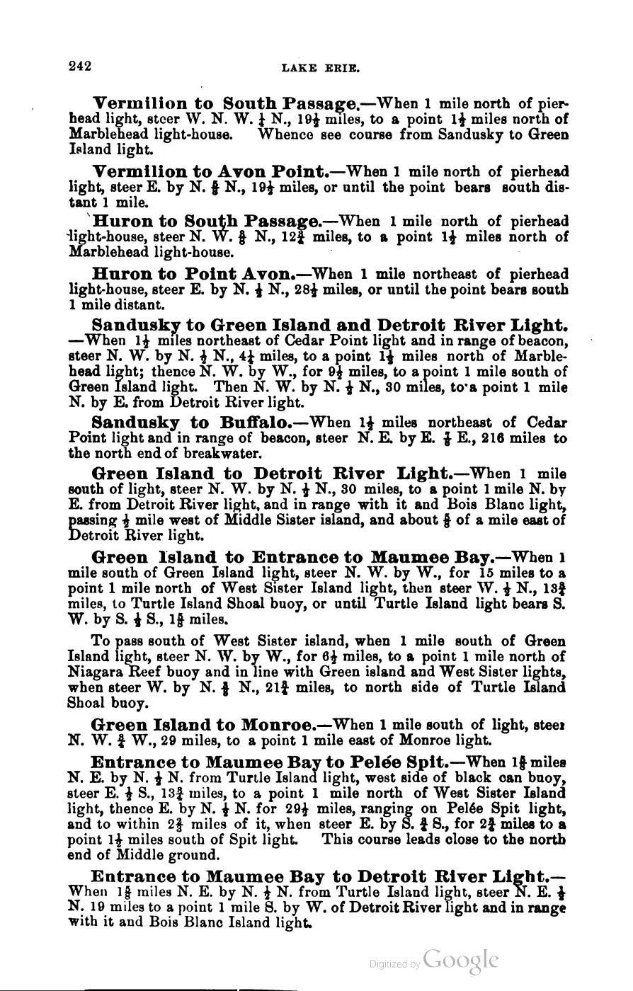
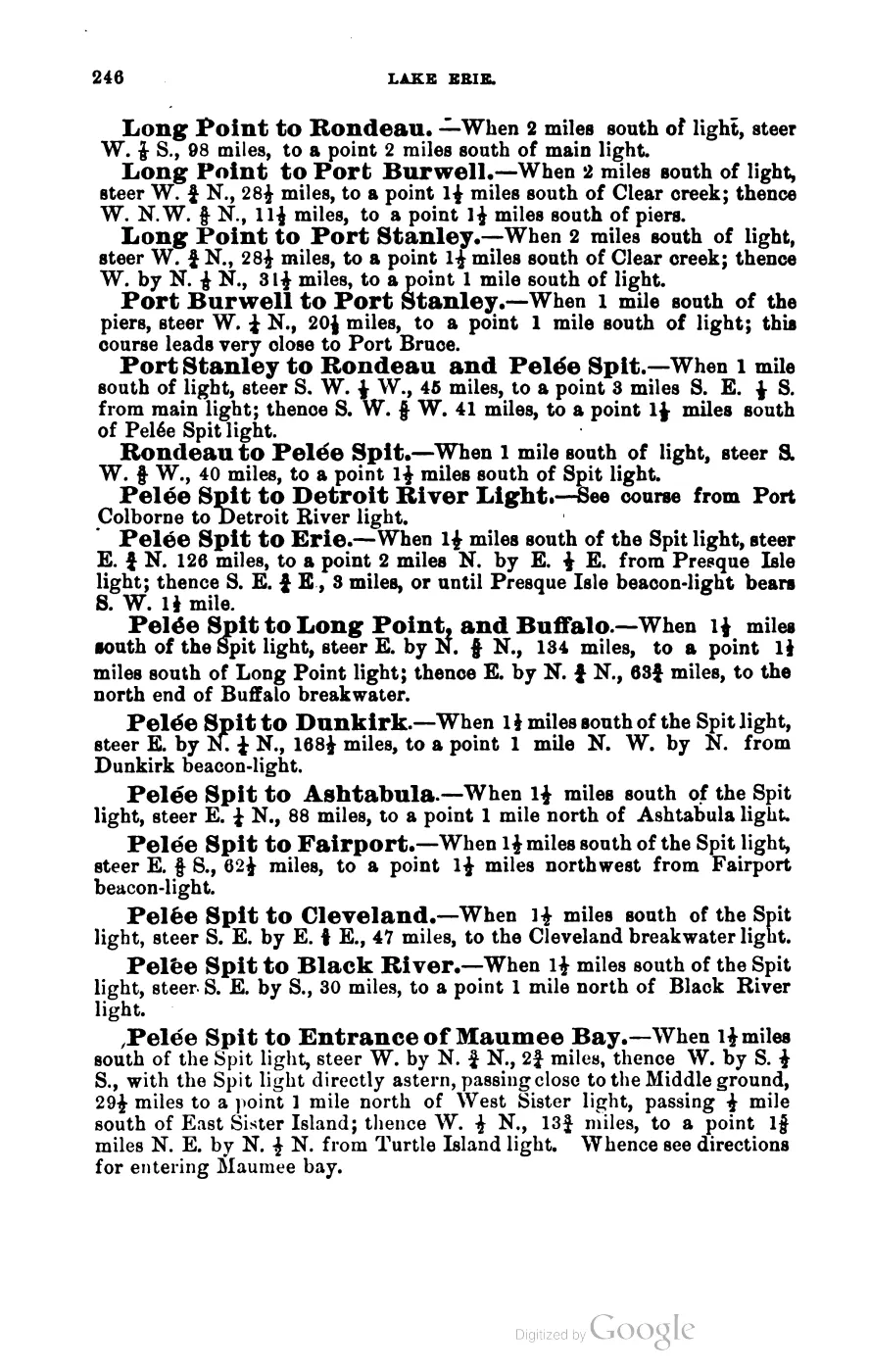
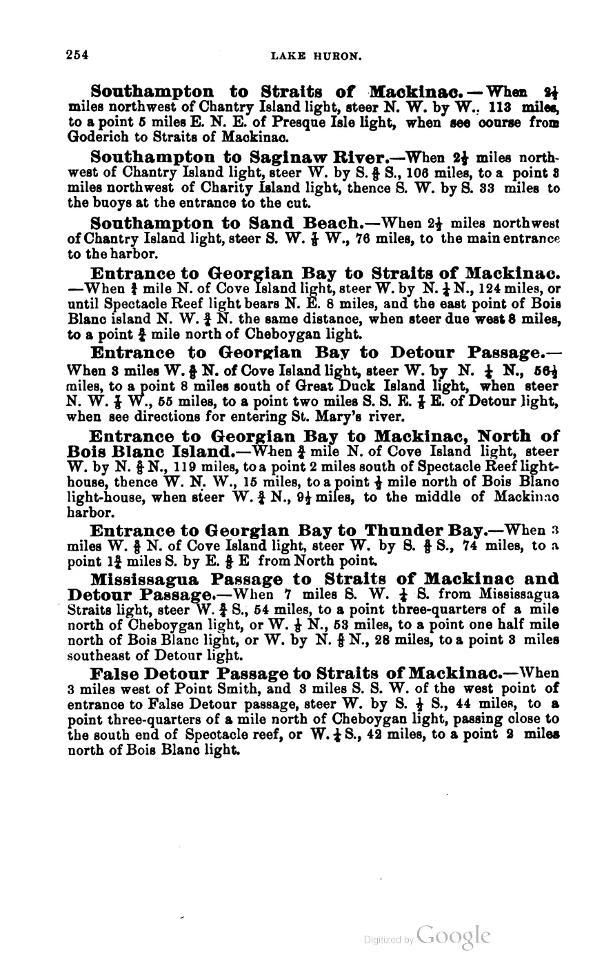
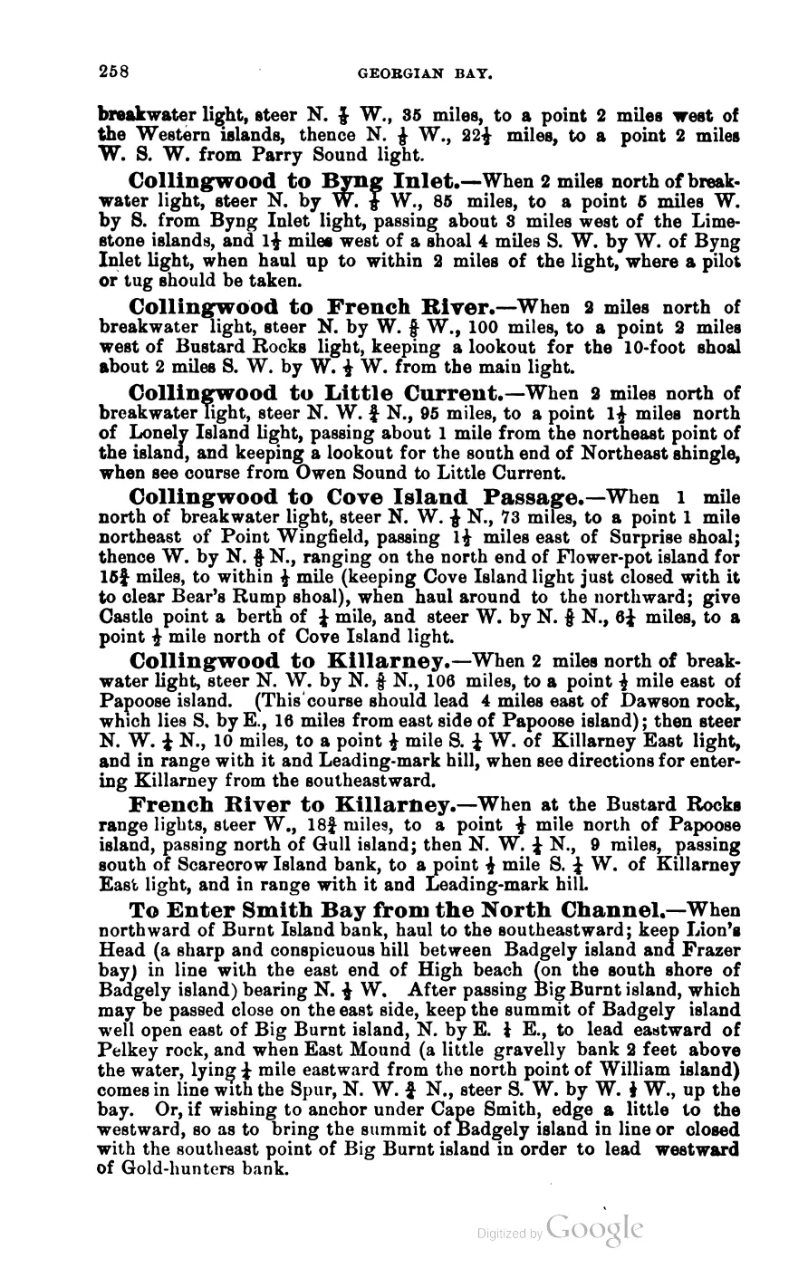
At 10.41 km², Hog Island lies east of the main island and northeast of Whiskey Island. Hog Island Reef, charted immediately off its southeast end in Scott’s 1902 Coast Pilot, extended roughly three-eighths of a mile east-west and 220 yards north-south, with a shoalest depth of 6 feet; it was marked by a buoy and figured in the standard 1902 sailing directions between Beaver Island Harbor and the Straits of Mackinac. The island today holds extensive wetlands supporting rare plants and animals, and its shallows are recorded as spawning grounds for perch and small-mouth bass; it draws migratory birds. The whole island is state-owned, managed by the Michigan DNR Wildlife Division.
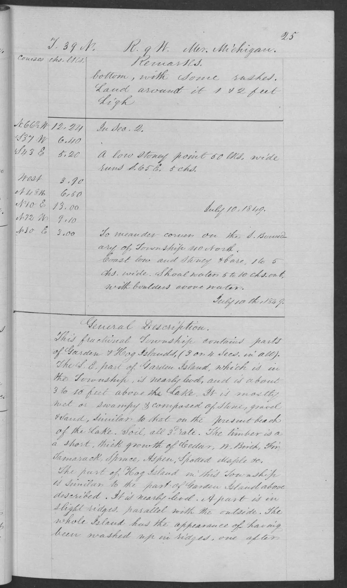
The original GLO general description for the part of Hog Island in fractional T39N R9W, dated 10 July 1849, calls it nearly level, with some slight ridges parallel to its outside, and says it appeared to have been “washed up in ridges, one after another.” That is a surveyor’s observation made at the time, and it gives context for the modern wetland description. It is neither a current geomorphic assessment nor a complete inventory of the island.2
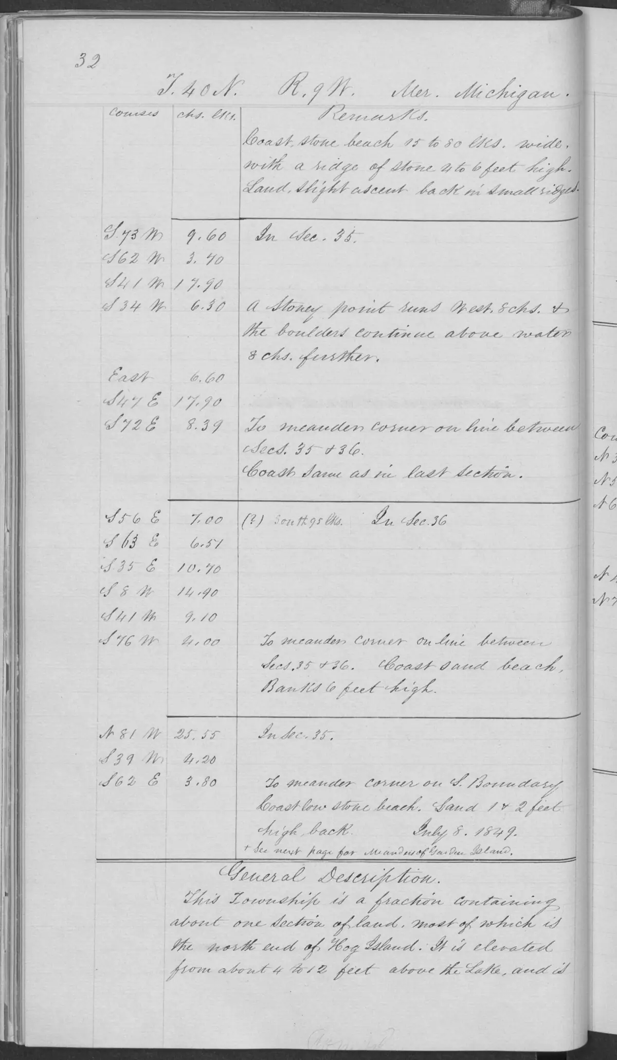
A separate 1849 GLO description covers the north end of Hog Island in the adjacent fractional township. It records elevation of about 4–12 feet above Lake Michigan, nearly level ground with slight ridges parallel to the outside, stone, gravel, sand, a thin vegetable soil, and observed trees and ground cover. It is an additional time- and area-bounded survey observation, not a whole-island or current ecological inventory.3
Ecological profile
The Hog Island mapped-dune, forest, shoreline, vegetation, and wildlife evidence adds a modern profile for the northwest side of the island. EGLE’s MDC 101 is a 69.5-acre, low-relief wooded dune-and-swale complex with Great Lakes marsh, a low foredune, and limestone cobble shore. The mapped complex contains mature-to-old-growth mesic northern forest and a limestone-cobble-shore occurrence, while the broader island remains an undeveloped state wildlife landscape.
The forest canopy is led by red oak, with white pine, red maple, white ash, basswood, white-cedar, and paper birch. Stands were estimated at approximately 146–203 years old. Large trees, snags, coarse woody debris, pit-and-mound topography, and 80–100 percent overstory cover create cavity-nester, interior-forest, canopy, and detritus-food-web structure. Younger pockets are linked in the source to historic selective logging and a stand-leveling fire.
The limestone shore has wave-worked cobbles, thin calcareous soils, and patchy vegetation including Baltic rush, silverweed, Ohio goldenrod, Kalm’s lobelia, bird’s-eye primrose, white-cedar, and tamarack. Water-level fluctuation, storms, and ice shear continually rework the shore. The report connects the forest, shore, and wetland mosaic to fish, waterfowl, shorebirds, songbirds, bats, insects, and herptiles; these are habitat functions and source examples, not a complete Hog Island species inventory.
The MNFI Report 2017-11 records six additional occurrence-level communities on Hog Island. Together they provide a more granular soil, vegetation, tree-age, hydrology, and management baseline than the broader mapped-dune summary.
The companion Beaver Island Archipelago wildlife and bird species evidence index, 2017–2024 currently preserves 10 linked wildlife/bird evidence records spanning 12 taxa for Hog Island. Those records include management history and distribution marks as well as habitat context; they do not constitute a complete fauna inventory or population estimate.
Coastal water-level gradient
The 60-acre coastal fen (EO 3734, rank A, G1G2/S2; p. 32) is backed by rich conifer swamp and boreal forest and grades lakeward into Great Lakes marsh and limestone cobble shore. Its margins shift with Great Lakes water levels. Shallow 5–20-centimeter alkaline peats (pH 7.8–8.0), marl around pH 8.0, wet alkaline gravelly sands, and cobble produce a fine-scale mosaic. Numerous marl pools, crayfish burrows, sphagnum hummocks, and 5–20 centimeters of August 2017 inundation were recorded. Hummock tops can be strongly acidic around pH 4.5.
Wiregrass sedge, threesquare, white beak-rush, beak-rush, twig-rush, Baltic rush, Kalm’s lobelia, bird’s-eye primrose, limestone calamint, false asphodel, sundews, bladderworts, grass-of-Parnassus, cranberries, and goldenrods occur in the fen. A 13.5-centimeter northern white-cedar was estimated at more than 175 years old. The occurrence appears to provide suitable habitat for Hine’s emerald dragonfly, a state and federally threatened species, but the report does not establish a confirmed population.
The adjacent 284-acre Great Lakes marsh (EO 2179, rank AB, G2/S3; p. 57) was surveyed during high-water years in 2015 and 2017. Emergent zones were usually 30–60 centimeters deep, with 90–120 centimeters in some areas. Hardstem bulrush, threesquare, Baltic rush, and twig-rush dominate emergent vegetation; the meadow zone adds sedges, blue-joint, Ohio goldenrod, Kalm’s lobelia, limestone calamint, grass-of-Parnassus, common bog arrow-grass, broad-leaved cattail, false asphodel, nodding ladies’-tresses, beak-rush, and Indian paintbrush. Narrow-leaved cattail was locally dominant in scattered clumps and was the only threat observed; MNFI recommends natural water-level processes, shoreline buffers, targeted control, and invasive monitoring.
The 60-acre limestone cobble shore (EO 20447, rank AB, G2G3/S3; pp. 74–75) occupies western and southern Hog Island. Shallow wet alkaline gravelly sands and organics occur among small cobbles and large boulders. Seasonal lake levels, seiches, storm surges, and longer cycles rework the shore, removing fine sediment and organic soil during high water and allowing vegetation and soil to develop during low-water periods. The shore grades locally into fen and marsh; driftwood and plant debris provide insect and herptile habitat and contribute organic matter. Cedar and paper birch stems were submerged during the high-water survey. Sparse vegetation includes silverweed, grass-of-Parnassus, Baltic rush, bog arrow-grass, beak-rush, Ohio goldenrod, Kalm’s lobelia, limestone calamint, bird’s-eye primrose, twig-rush, false asphodel, and wild strawberry. Canada bluegrass and spotted knapweed were recorded as non-native concerns.
Forest and interior wetland systems
The 895-acre mesic northern forest (EO 7843, rank B, G4/S3; pp. 83–84) occupies the northern and southern ends of Hog Island on former cobble and low-dune shoreline. Soils vary from acidic mull humus over medium-textured sands to a 10-centimeter A horizon around pH 5.5 over fine acidic dune sands around pH 4.5–5.0; fire-baked sandstone cobble occurs locally. The northern polygon is red-oak and white-pine dominated, while sugar maple dominates the southern polygon. White ash, red maple, basswood, paper birch, red oak, and cedar are associates. Canopy trees reach 60–100 cm DBH, supercanopy white pines reach roughly 90–100 feet, and the forest is mature to old-growth in places with coarse woody debris, snags, pit-and-mound topography, and moss-covered boles. Yew is locally dominant in the understory and may suppress regeneration; younger patches show likely selective logging, while a shared red-oak/white-pine cohort in the northern polygon suggests stand-leveling fire. Ground plants include blue cohosh, wild leek, jack-in-the-pulpit, bloodroot, maidenhair fern, and ostrich fern.
The 20-acre northern fen (EO 20446, rank AB, G3G5/S3; p. 100) consists of relatively young, graminoid-dominated fens likely formed as wiregrass-sedge mats invaded shallow ponds. Saturated circumneutral to alkaline peats range in depth and support wiregrass sedge, twig-rush, white beak-rush, pitcher-plant, bog buckbean, horned bladderwort, cranberries, native reed, and bog goldenrod. Fen margins include slender willow, sweet gale, green ash, tamarack, and northern white-cedar. MNFI observed no threats and recommends an intact buffer and invasive monitoring.
The 129-acre rich conifer swamp (EO 9639, rank AB, G4/S3; p. 137) occurs in two southern polygons inland from the coastal fen, marsh, and cobble shore and beside high-quality mesic forest and hardwood-conifer swamp. Shallow circumneutral organics around pH 7.0 overlie wet alkaline sands around pH 8.0. Northern white-cedar dominates; paper birch, balsam fir, mountain maple, green ash, tamarack, and yew add vertical structure. A 69-centimeter cedar was estimated at more than 300 years old. Sphagnum hummock-and-hollow microtopography, windthrow, tip-ups, and cedar layering create fine-scale moisture and age gradients; scattered cut stumps preserve logging evidence. The diverse ground layer includes starflower, Canada mayflower, twinflower, royal and cinnamon ferns, wild sarsaparilla, goldthread, blue-bead lily, and oak fern.
Across all six records, MNFI recommends allowing natural processes, maintaining buffers, and monitoring invasive plants and deer browse. The occurrences were surveyed during unusually high-water years where noted, and none should be treated as a current legal boundary, parcel, complete island-wide species inventory, or present-condition assessment.
Names
No former or variant name for Hog Island is recorded in GNIS.
Significance
Hog Island’s significance in the sources held is primarily maritime and ecological rather than settlement history: a recurring hazard-and-bearing reference point in 19th-century sailing directions, and today a wetland and wildlife reserve.
Open questions
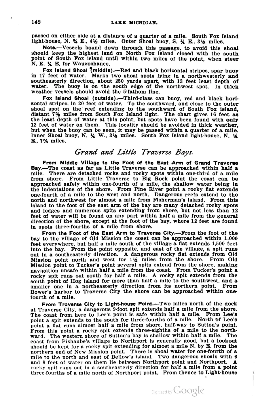
- Scott’s 1902 Coast Pilot uses “Hog Island” for at least three distinct, unrelated places in the same volume — this island in the Beaver Island group, another near Old Mission Peninsula/Bower’s Harbor in Grand Traverse Bay, and a third near the Rock Island/Fisherman’s Shoal approach to Green Bay. Only the Beaver-group hits, confirmed by co-occurring bearings to Skilligallee, Waugoshance and Beaver Island Harbor, are used here; this is exactly the kind of non-unique place name that should be re-checked if more Coast Pilot material is added to this article later.
- No settlement, population or land-use history predating DNR ownership has been located for Hog Island specifically, unlike Garden and High Islands.
- The 1961 Beaver Beacon retrospective does not establish whether the LaFinire wreck occurred on Hog Island Reef or at another location off the island.
See also
Footnotes
Maps for this place
These Atlas plates provide regional context. They do not establish a precise boundary, current ownership, access right, operating status, or field condition.
- EnvironmentSoils, wetlands, hydrography, and terrain
- GeologyGeneralized geology and landforms
- HydrologyMapped water and wetland context
- AccessMapped routes, facilities, and protected areas
The dated record
Read the document
393 pages, rendered from the held scan.

Jump to a page — 393 in all






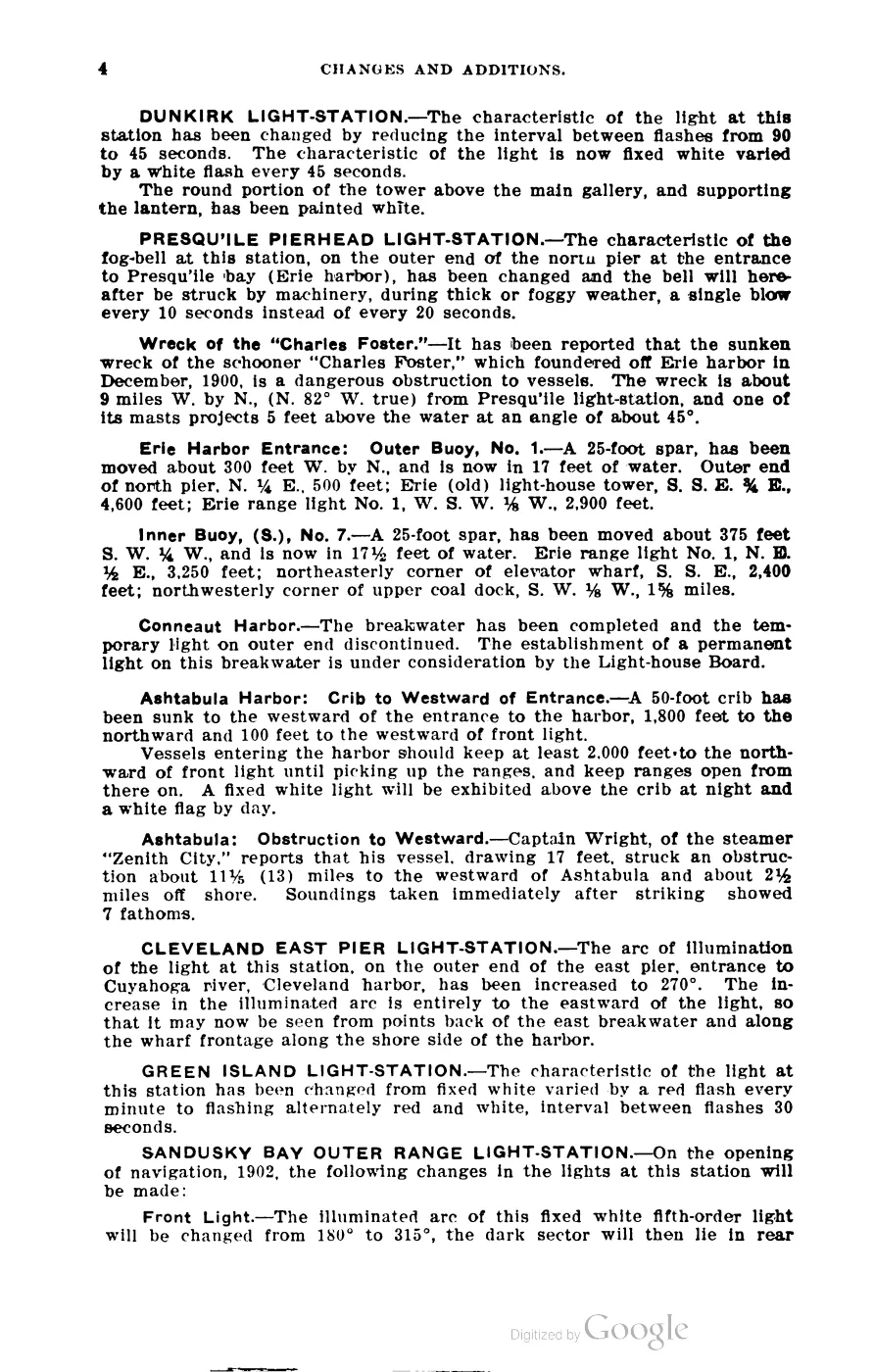
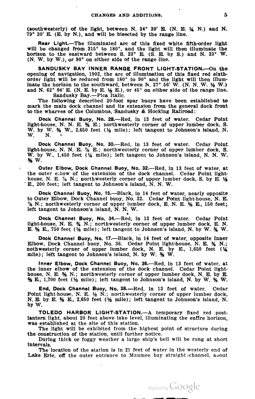
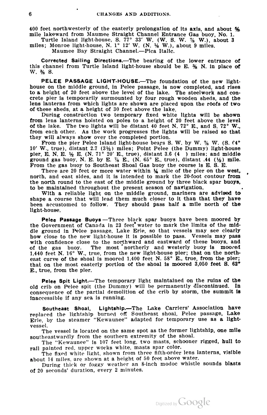
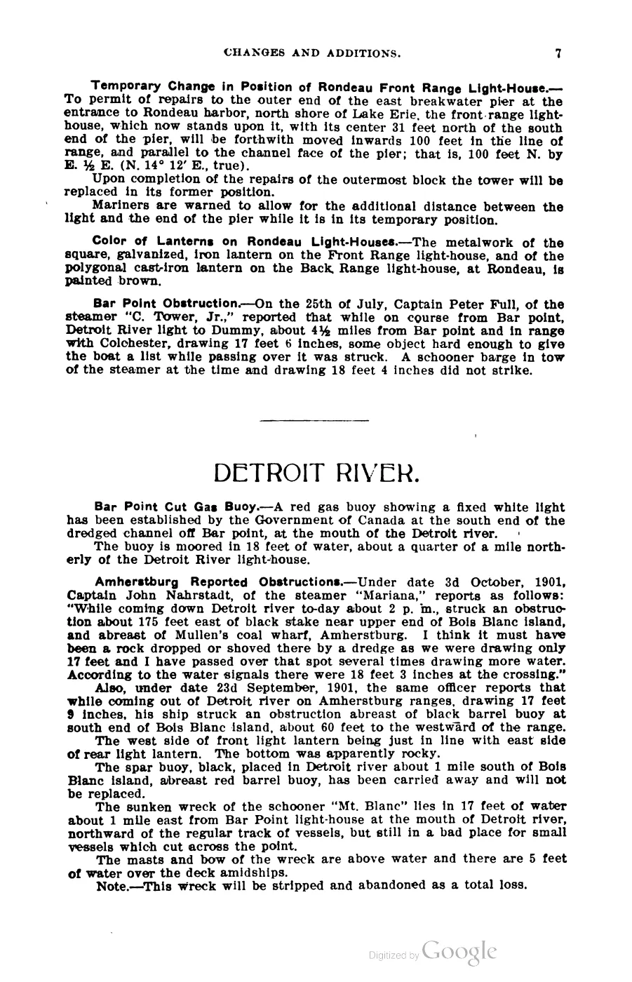
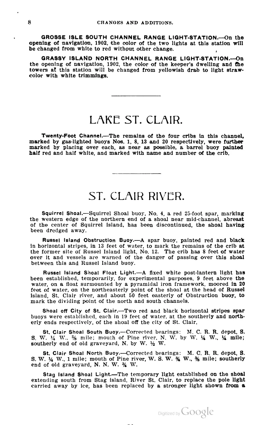
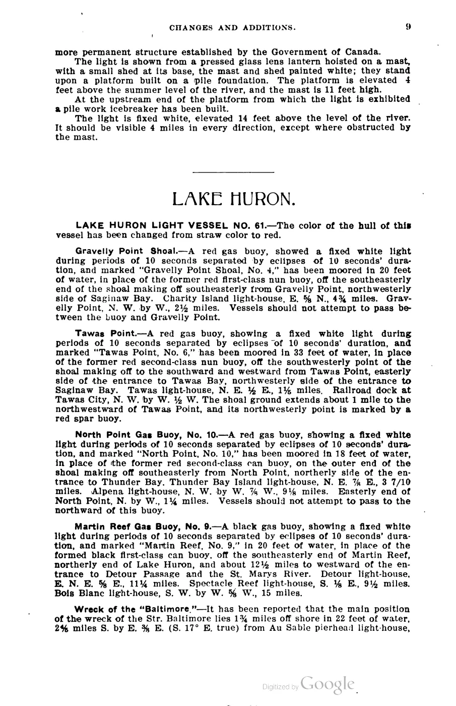
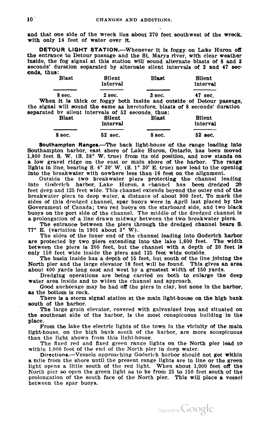
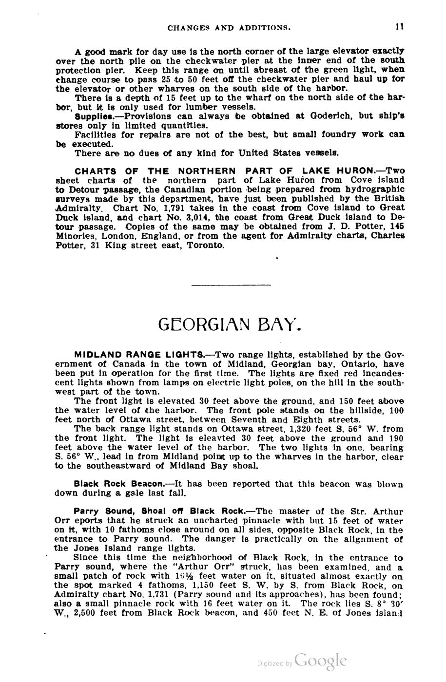

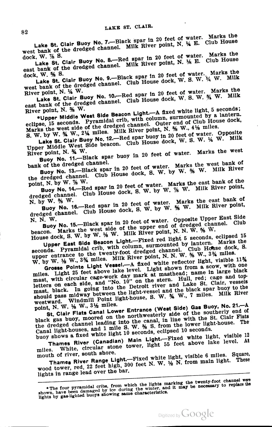
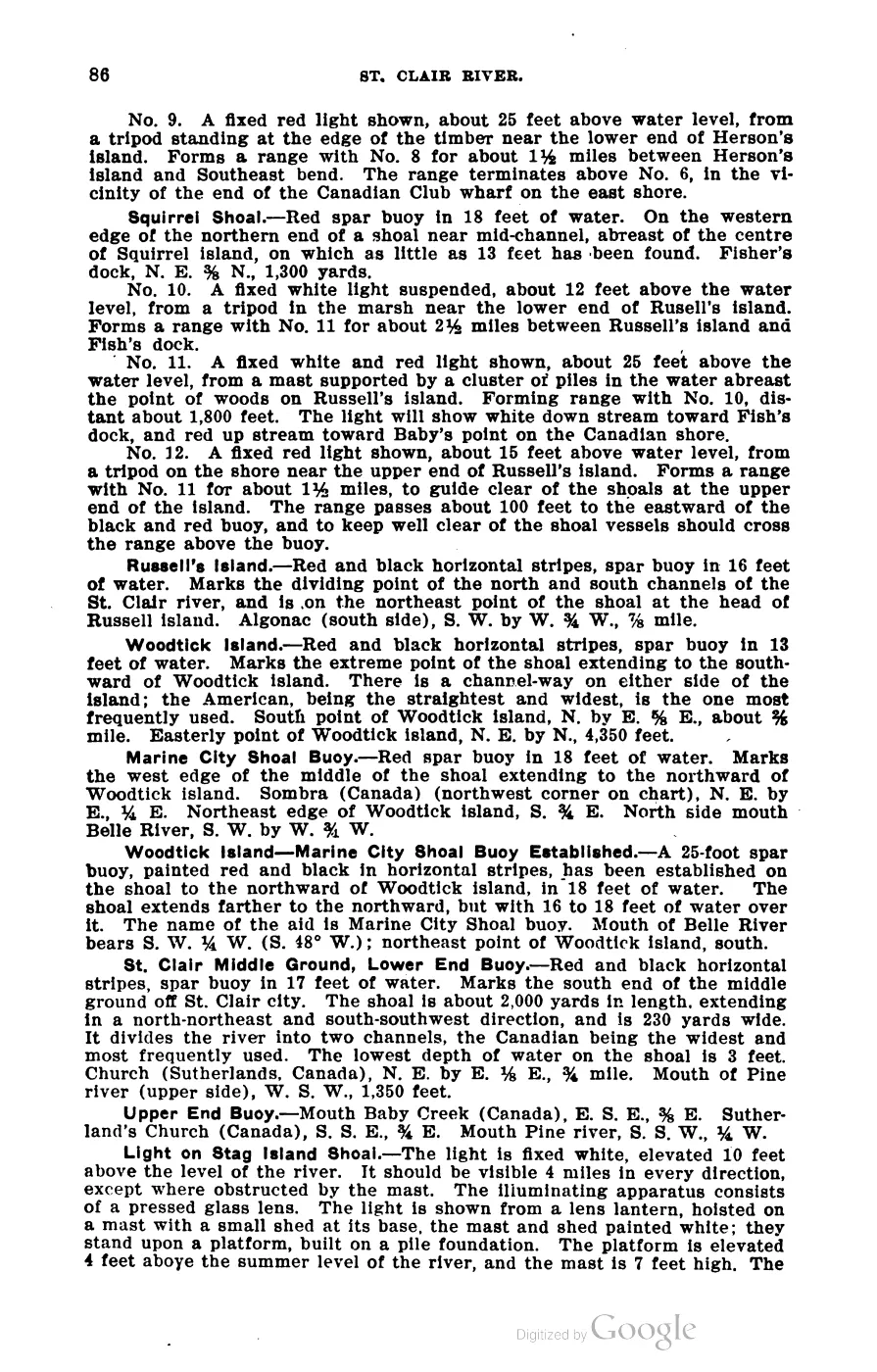
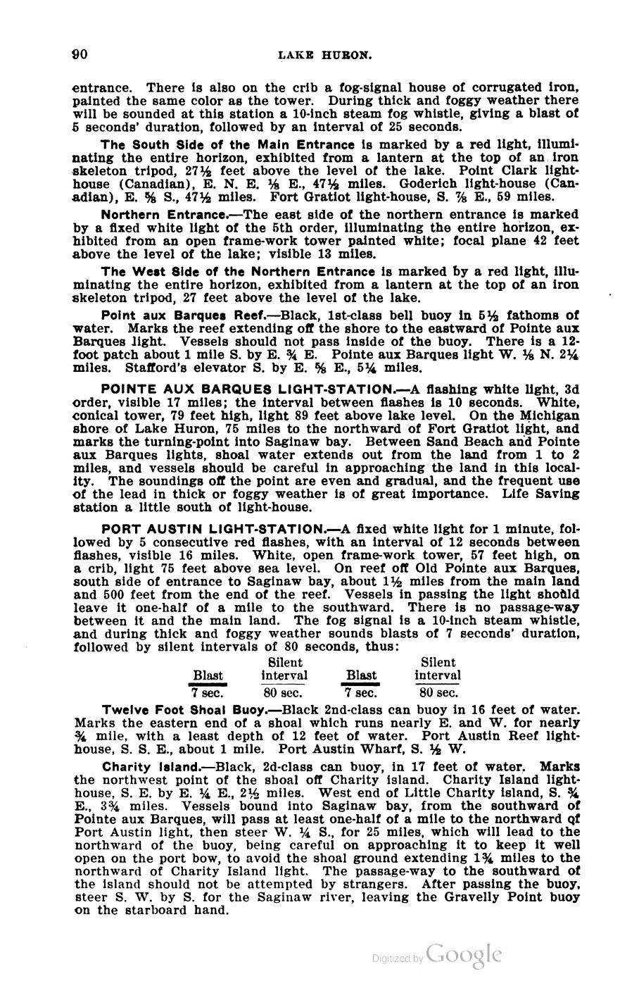
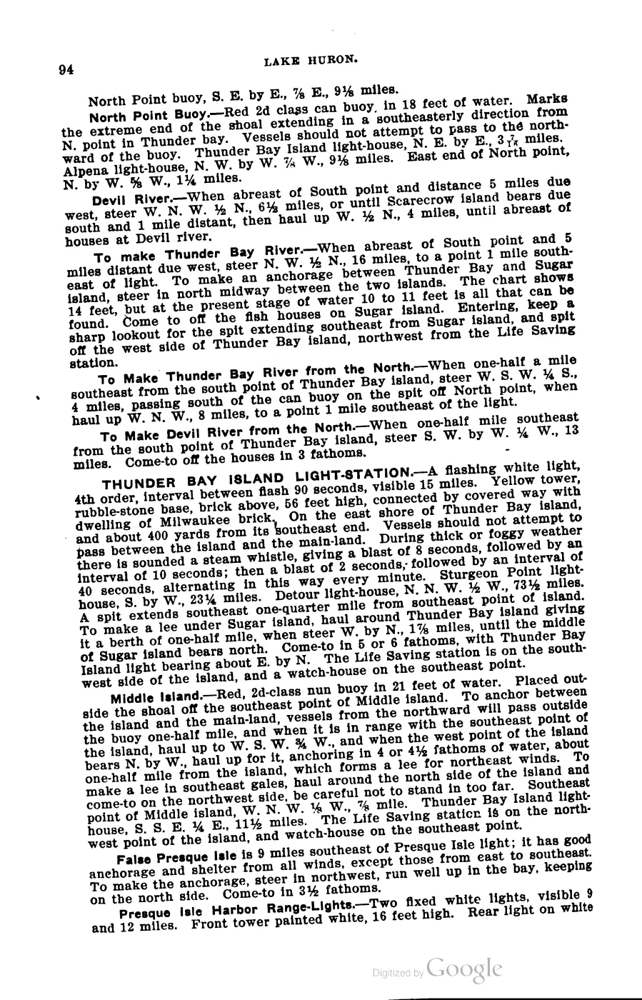






135 of 393 pages linked here — every page to 32, then every 4th, then the last 16. With JavaScript, every page.
Sources
- Area 10.41 km² computed in EPSG:3078.osm · islands
- GNIS feature 628388; feature class 'Island'.federal · gnis · gnis_names
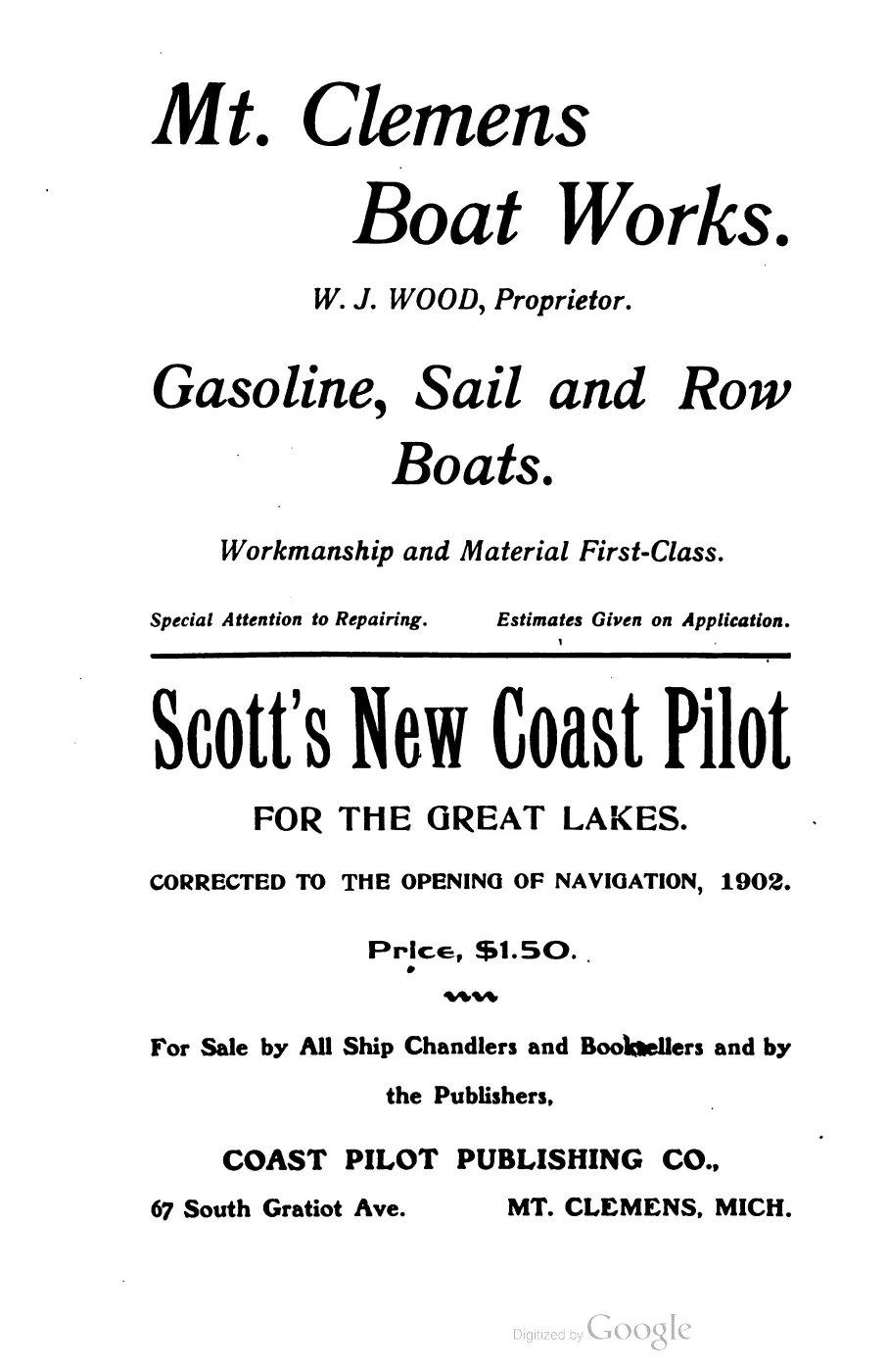
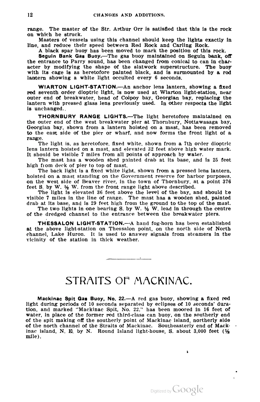
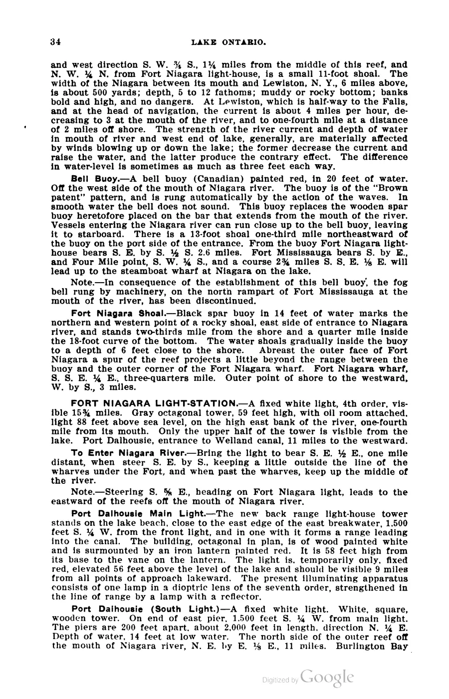
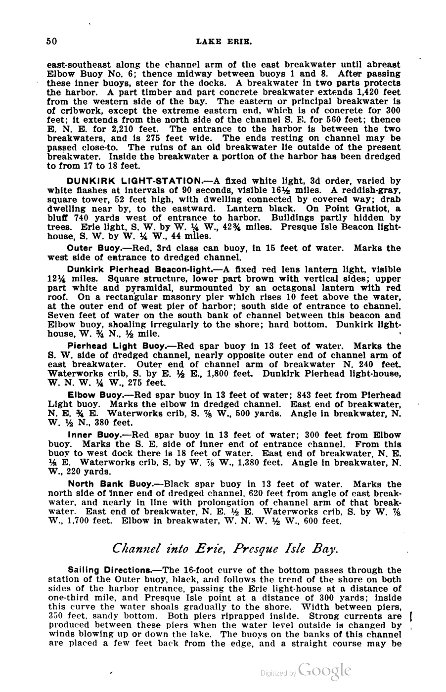
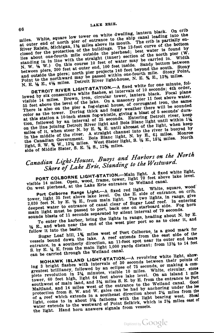
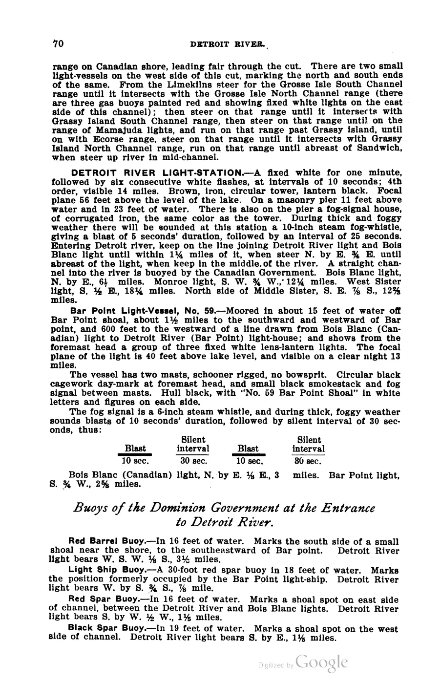
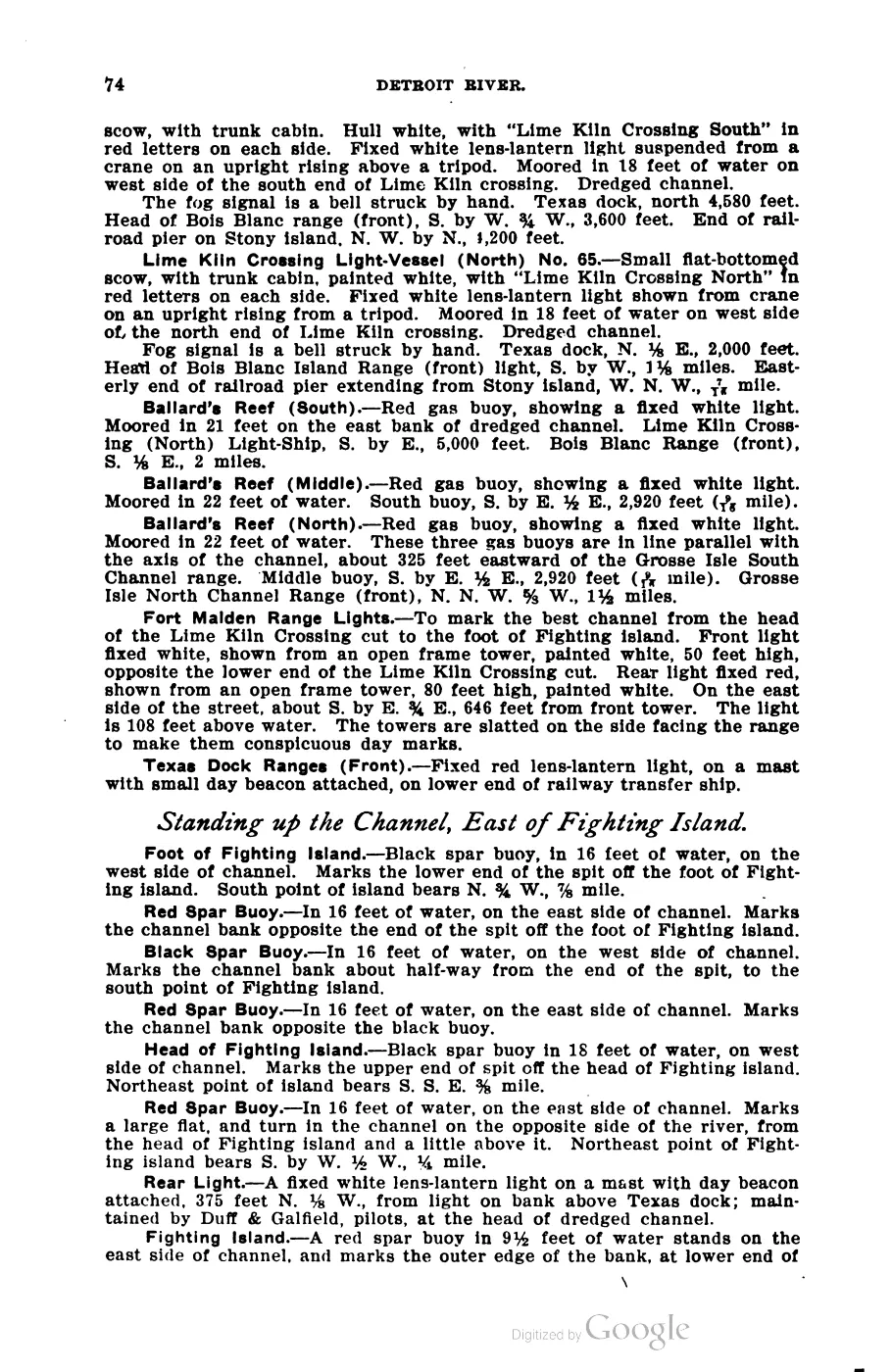
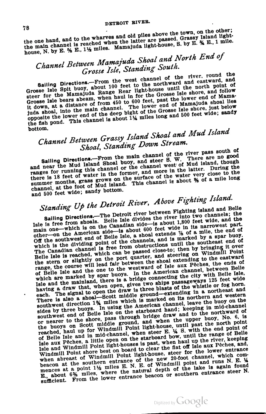
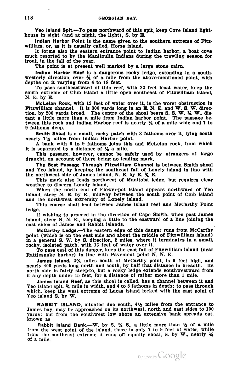
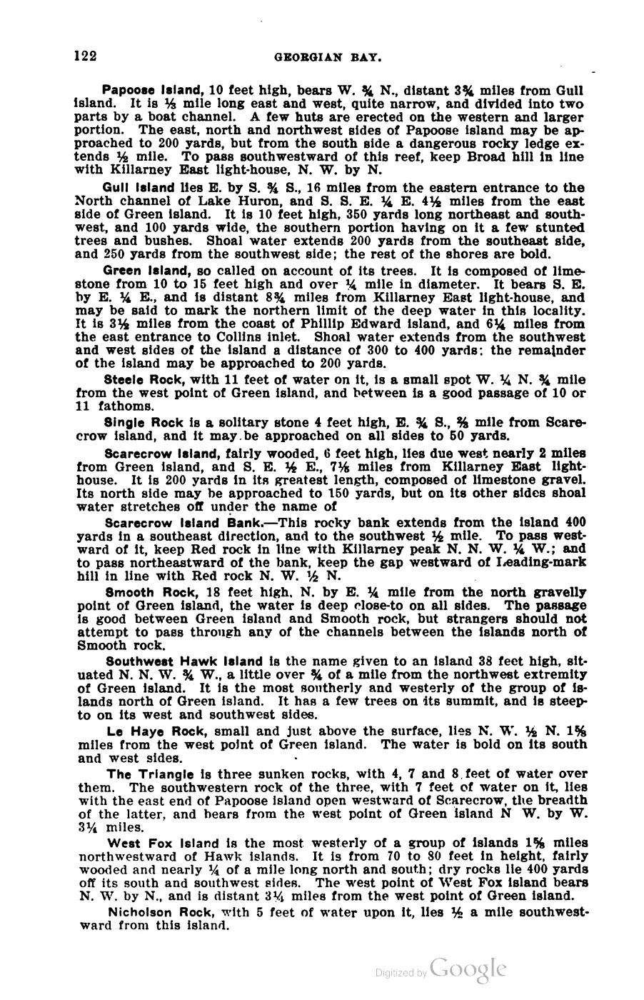
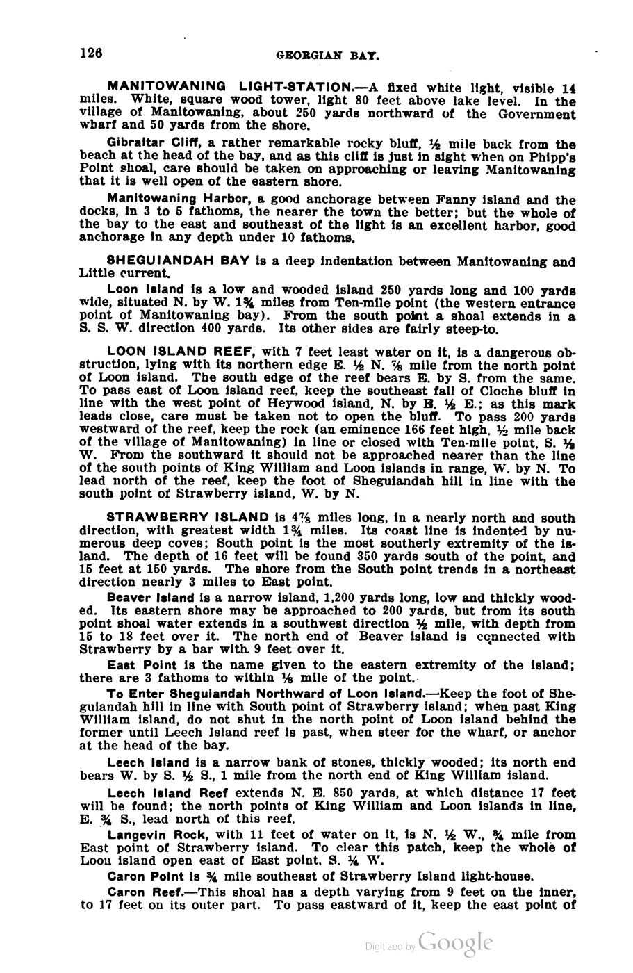
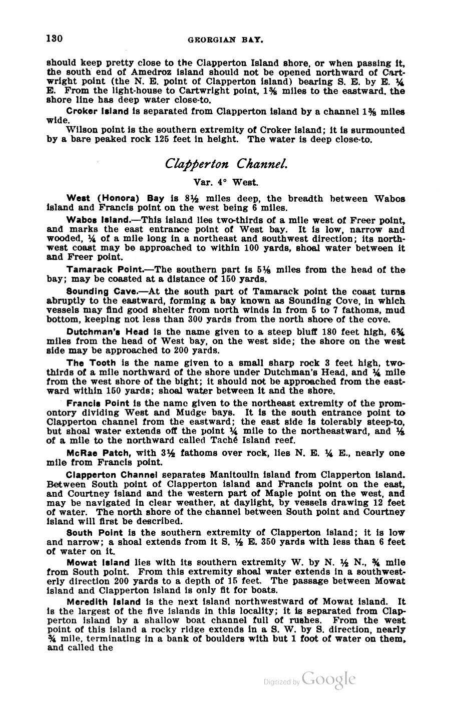
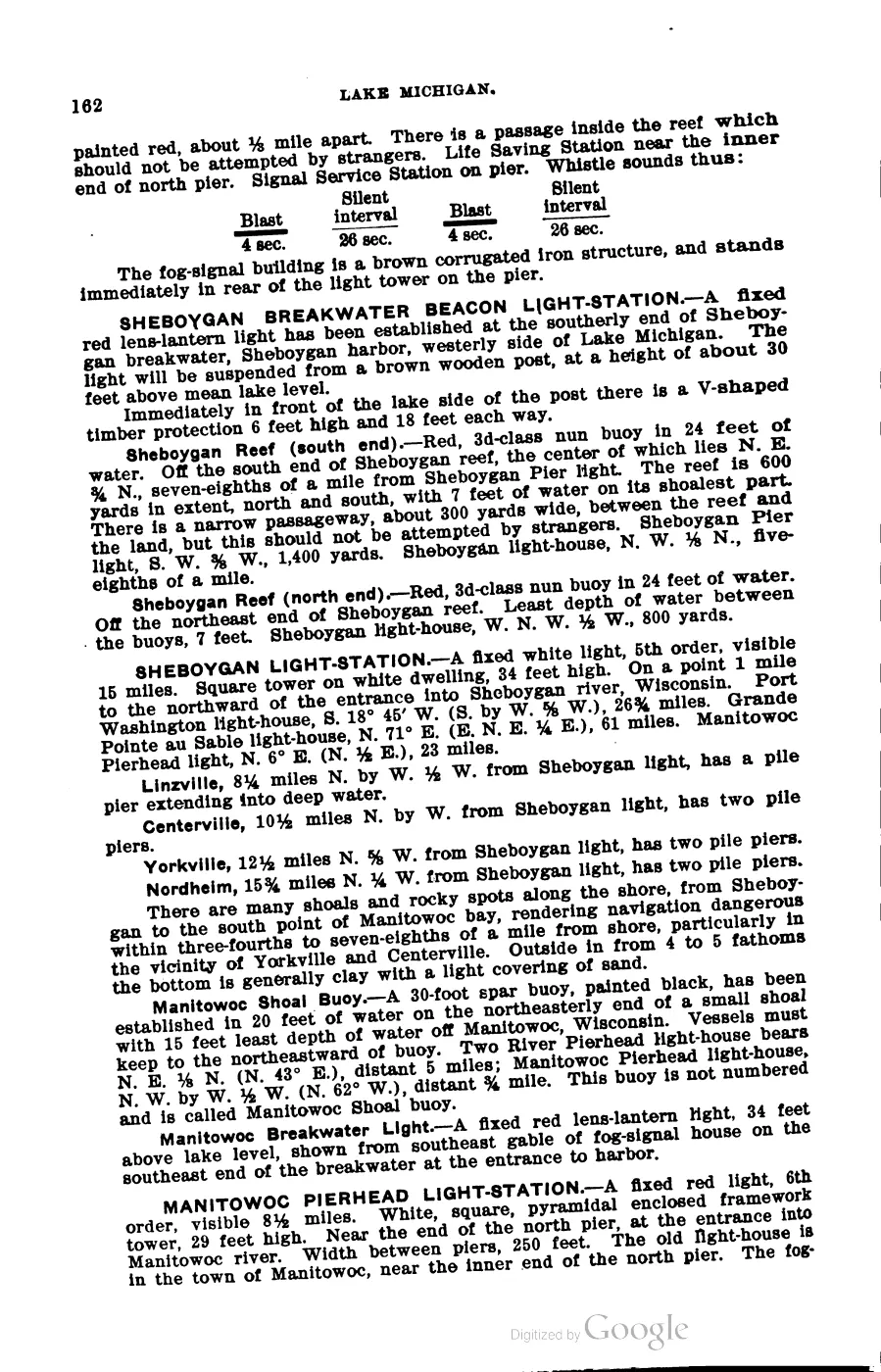
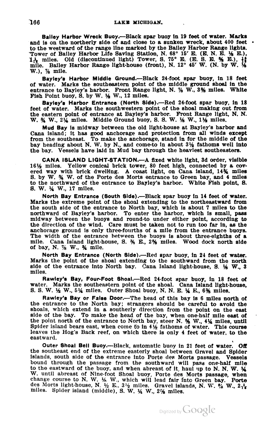
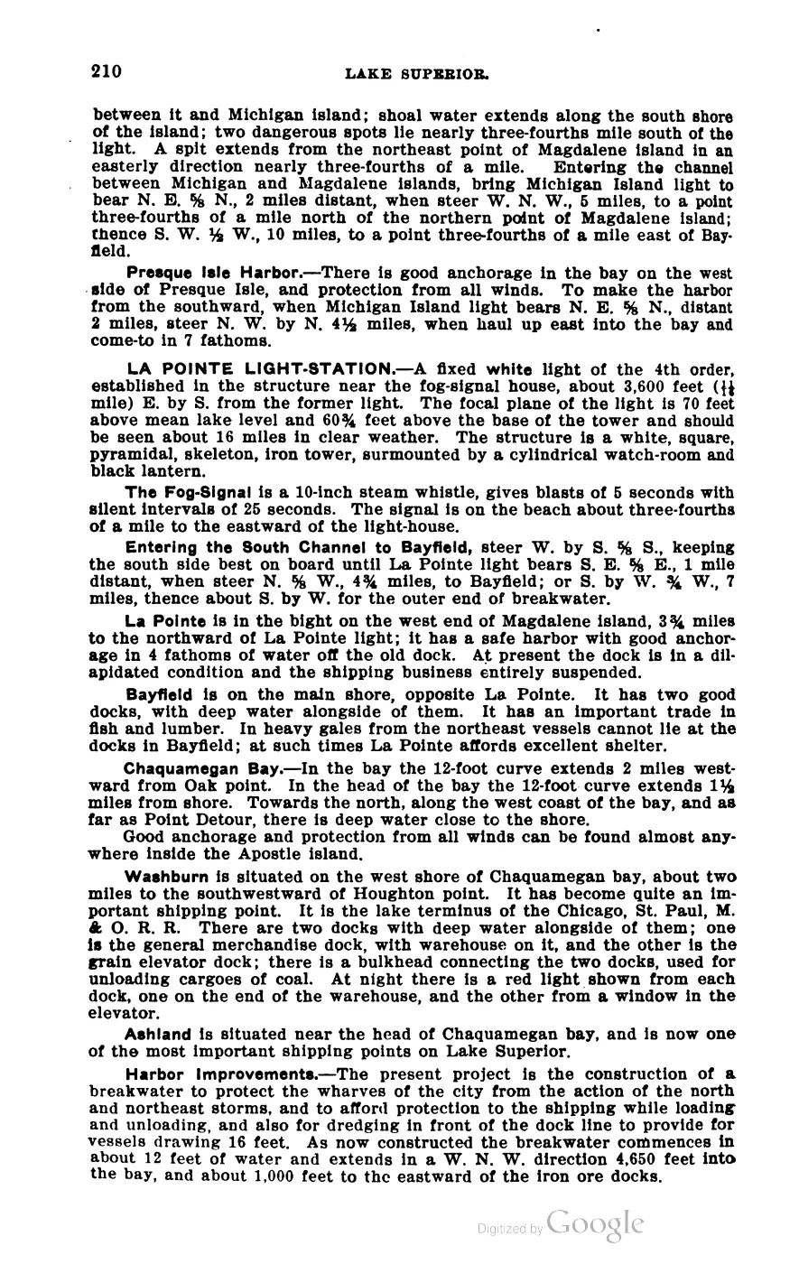
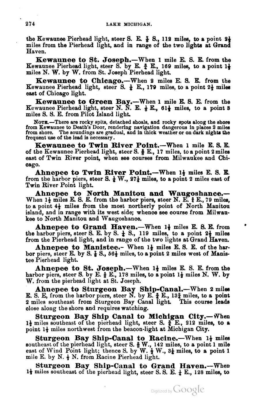
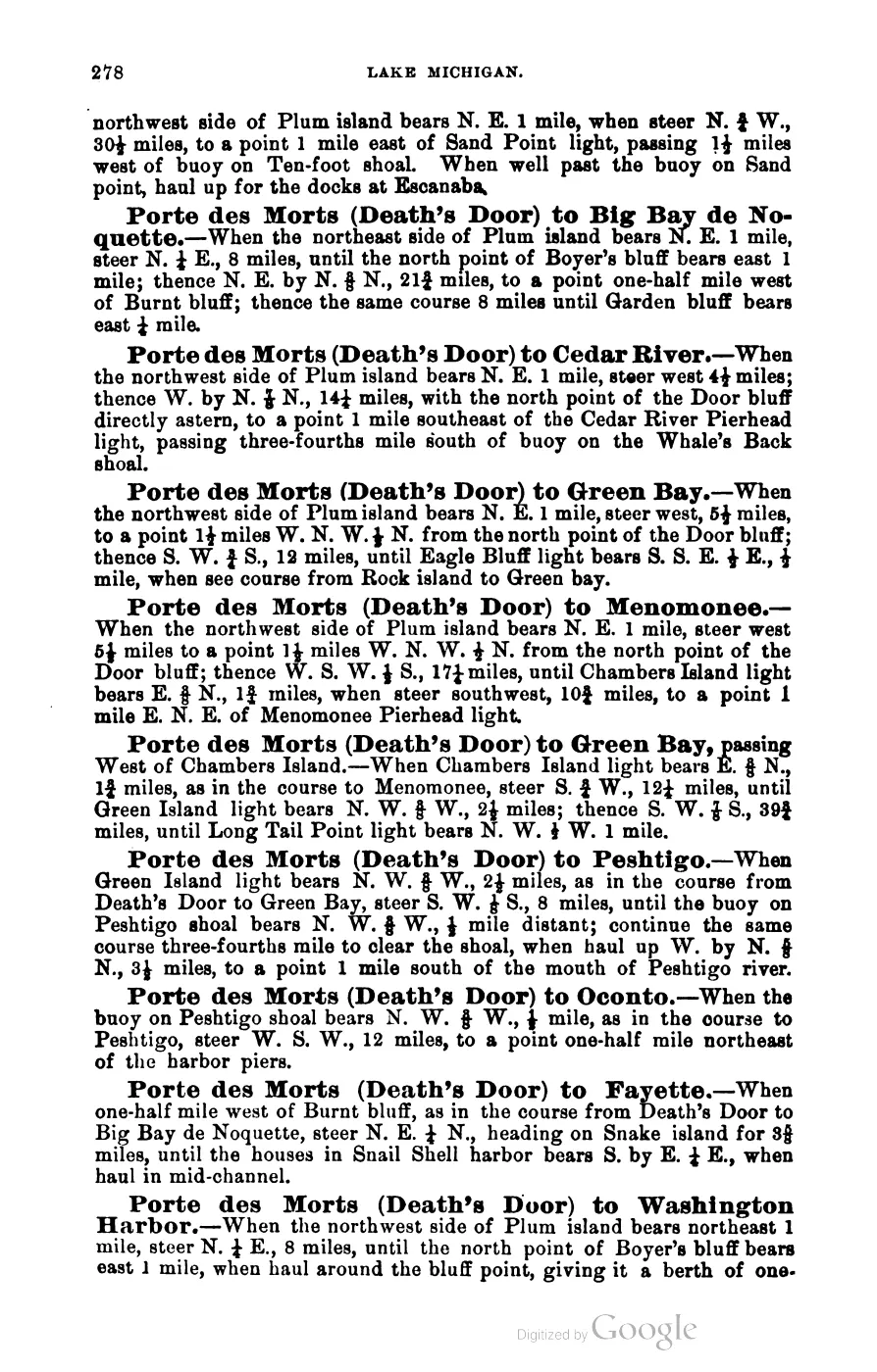
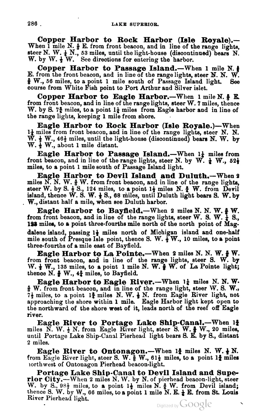
- George Scott, Scott's New Coast Pilot for the Lakes (6th ed., Detroit, 1902), p. 140.'Hog Island Reef.-Red and black horizontal stripes, 2d-class can buoy... Off the southeast end of Hog Island reef. The greatest extent of the reef is east and west three-eighths of a mile, and north and south 220 yards.' Fixed close to the Beaver Island Harbor and Skilligallee light-station bearings, not to be confused with two other 'Hog Island' place-names elsewhere in the same volume (near Grand Traverse Bay and near the Rock Island/Green Bay approach) — see this article's Open questions. No public copy of this file is known; the archive holds one and can provide it on request.local_documents · 1902_scott-new-coast-pilot-for-the-lakes-6ed
- Names Hog Island among the islands visible from 'Mount Pisgah' above Beaver Island's harbor, describing it as lying 'off nine miles to the east.'
- 'Hog Island is the fourth largest island in the Archipelago and is 100% state land under the MDNR Wildlife Division. The island is characterized by a number of wetland areas that are home to a variety of rare plants and animals. Hog Island also provides vital spawning ground for perch and small-mouth bass and draws many rare and unique birds during migration.'
- Described in this archive: Northern Lake Michigan reef and coastal bathymetry, USGS OFR 03-120.Held metadata records a completed August 2001 SHOALS airborne-lidar bathymetry and albedo survey for habitat-study use, with a survey bounding box and stated accuracy. The coverage box is not an island boundary, and the source does not establish present bathymetry, access, ownership, or navigational safety.federal · noaa_bathymetry · usgs_ofr_2003_120 · metadata · hogmeta
- Bureau of Land Management, General Land Office Records, Field Note Volume 168138, p. 0025, T39N R9W, 10 July 1849.Described in this archive: BLM GLO field-note volumes linked to Beaver Island-area surveys.Visual page-image verification. The original general description says the part of Hog Island in the fractional township was nearly level, with some slight ridges parallel to the outside; it describes the island as having the appearance of being washed up in ridges one after another. The page records an 1849 surveyor observation, not a modern geomorphic finding, whole-island inventory, title, settlement, or present ecology. No public copy of this file is known; the archive holds one and can provide it on request.federal · glo_field_notes · page_evidence · field-note-volume-168138-page-0025-garden-hog
- Bureau of Land Management, General Land Office Records, Field Note Volume 168138, pp. 0032–0033, T40N R9W, northern Hog Island general description, 1849.Described in this archive: BLM GLO field-note volumes linked to Beaver Island-area surveys.Visual page-image verification. The handwritten original describes only the north end of Hog Island in the fractional township: 4–12 feet above Lake Michigan, nearly level with slight outer-parallel ridges, stone/gravel/sand, a thin vegetable soil, and observed fir, cedar, white birch, tamarack, sugar, aspen, short maple, ground hemlock, and some black oak and white pine. These are time-bounded observations, not a whole-island inventory, current ecology, title, ownership, or access claim. No public copy of this file is known; the archive holds one and can provide it on request.federal · glo_field_notes · page_evidence · field-note-volume-168138-page-0032-hog-island-general-description
- Described in this archive: Visually verified GLO survey observations of archipelago soils, terrain, and trees, 1845–1849.Adds page-bounded 1849 sequence-based observations of swampy and level/rolling third-rate segments, sandy/stony ground, short thick cedar, fir, tamarack, white birch, aspen, sugar, spotted maple, black oak, and white pine. The linked survey covers portions of Garden and Hog; no modern boundary is inferred. The holder's public portal is searchable but does not link this record directly; the archive holds a copy of the file and can provide it on request.research · land_cover · crosswalks · glo_ecology_crosswalk_1845_1849
- Project-generated Hog Island mapped-dune, forest, shoreline, vegetation, and wildlife evidence (2026).Described in this archive: Hog Island mapped-dune, forest, shoreline, vegetation, and wildlife evidence.Preserves EGLE MDC 101 descriptions of mature coastal forest, limestone cobble shore, thin calcareous soils, shoreline vegetation, wetlands, tree structure, and habitat-linked birds and wildlife. The two printed occurrence points are not natural-community boundaries. No public copy of this file is known; the archive holds one and can provide it on request.research · wildlife · indices · hog_island_mapped_dune_ecology_2026
- Project-generated MNFI 2017 soil, vegetation, and wildlife crosswalk, preserving MNFI Report 2017-11, six Hog Island natural-community occurrences, report pp. 32, 57, 74–75, 83–84, 100, and 137.Described in this archive: MNFI soil, vegetation, tree, and wildlife crosswalk, 2017.The crosswalk preserves six occurrence-level records across Hog Island; they are not a single island-wide habitat boundary, ownership determination, or complete survey. No public copy of this file is known; the archive holds one and can provide it on request.research · island_farming · crosswalks · mnfi_soil_vegetation_wildlife_crosswalk
- Visual page evidence held with provenance sidecar; the image anchors the occurrence description and does not establish modern geometry or current condition.research · island_farming · evidence · mnfi-report-2017-11-page-0032-hog-island-coastal-fen
- Visual page evidence held with provenance sidecar; the image anchors the occurrence description and does not establish modern geometry or current condition.research · island_farming · evidence · mnfi-report-2017-11-page-0057-hog-island-great-lakes-marsh
- Visual page evidence held with provenance sidecar; the image anchors the occurrence description and does not establish modern geometry or current condition.research · island_farming · evidence · mnfi-report-2017-11-page-0074-hog-island-limestone-cobble-shore
- Visual page evidence held with provenance sidecar; the image anchors the occurrence description and does not establish modern geometry or current condition.research · island_farming · evidence · mnfi-report-2017-11-page-0083-hog-island-mesic-forest
- Visual page evidence held with provenance sidecar; the image anchors the occurrence description and does not establish modern geometry or current condition.research · island_farming · evidence · mnfi-report-2017-11-page-0100-hog-island-northern-fen
- Visual page evidence held with provenance sidecar; the image anchors the occurrence description and does not establish modern geometry or current condition.research · island_farming · evidence · mnfi-report-2017-11-page-0137-hog-island-rich-conifer-swamp
- A camper asked whether someone transported campers to Hog, Garden, or High Island; a reply referred the person to Mike Weede at Paradise Bay Dive Shop. This is a service referral and evidence of community interest in access, not proof of a completed trip, standing availability, camping permission, or current access rules.forum · www.beaverislandforum.com · 15 · t015673
Added 28 July 2026 · revised 3 August 2026. Recent changes
Cite this article
Beaver Island Archive, “Hog Island”, https://beaverislandarchive.org/places/hog-island/, accessed [date], citing OpenStreetMap contributors, island polygons via Overpass API, retrieved 2026-07-28 (ODbL 1.0). (and 17 further sources listed on the page).
Last revised 2026-08-03. Fill in [date] with the date you read it — this page is static and cannot know that.