

- Dates
- 1845 – 1849
- Eras
- Early American eraStrang era
- Concepts
- environmentforestswetlandsgeologyland-surveyconservation
- Within
- Beaver Island archipelago
Summary
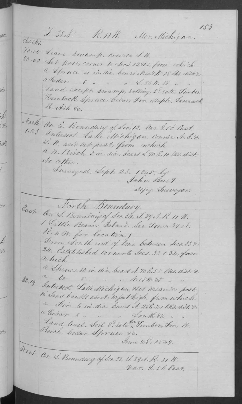
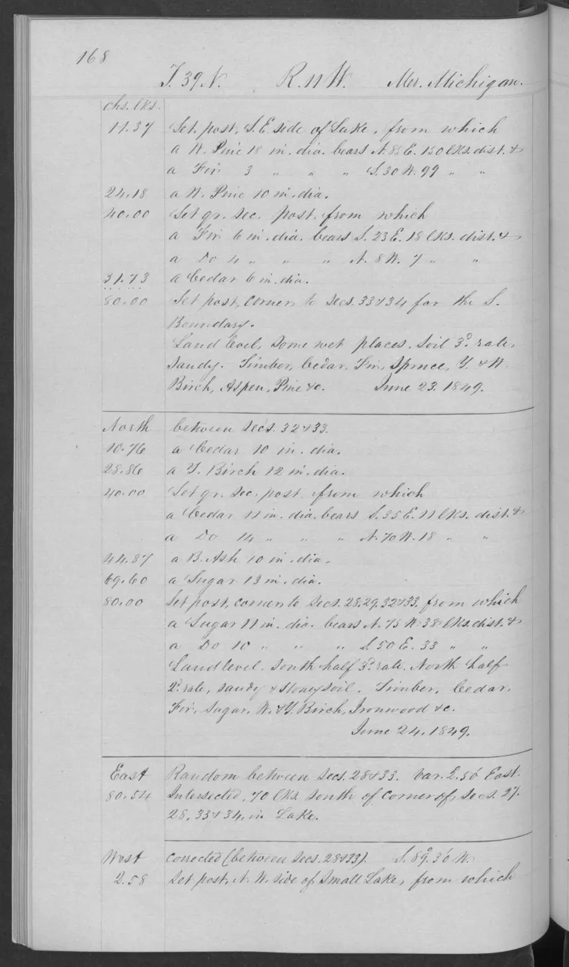
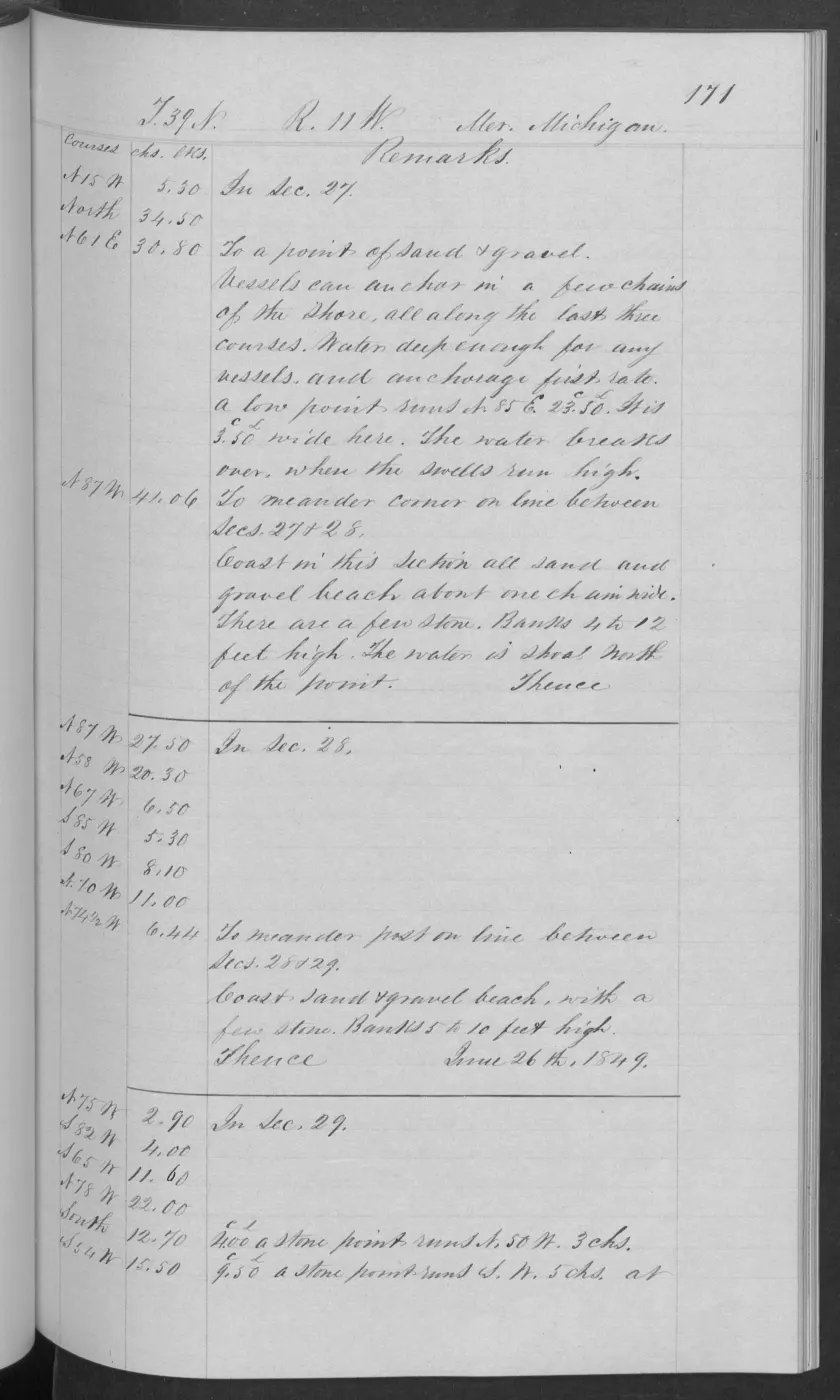
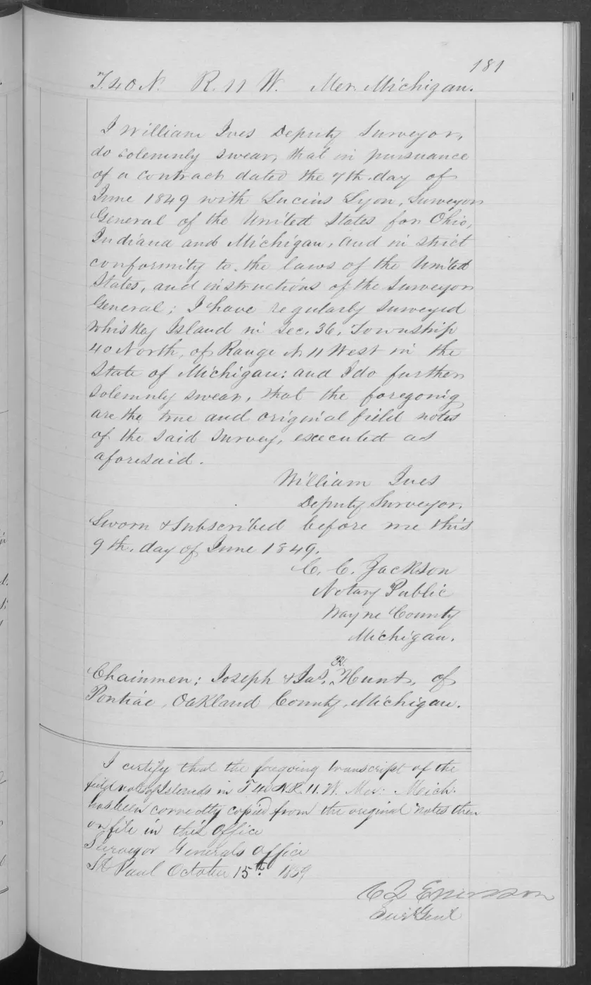
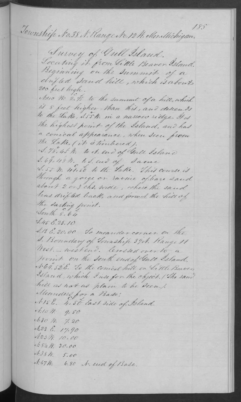
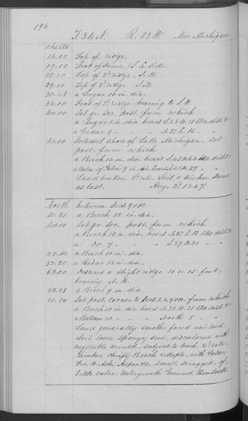
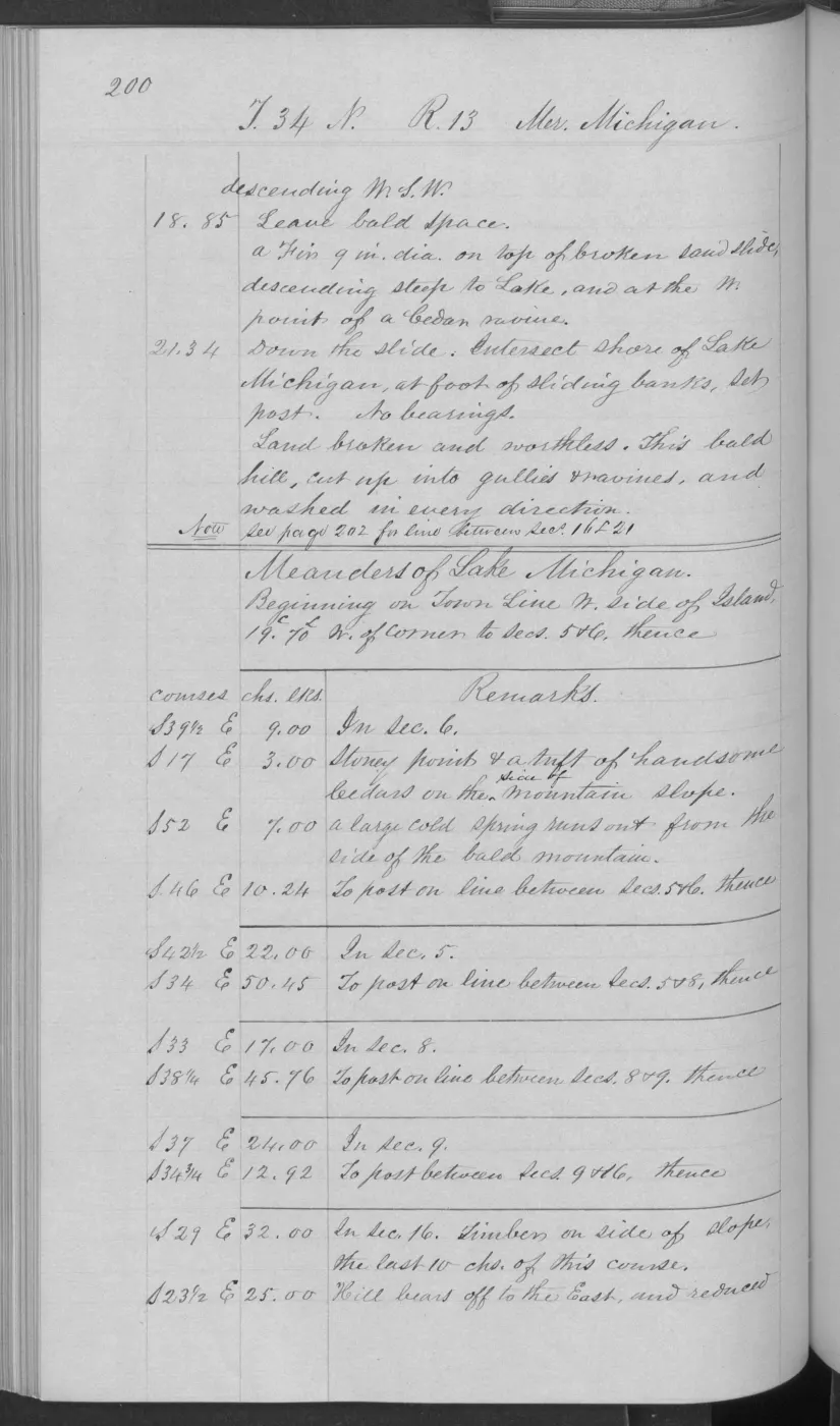
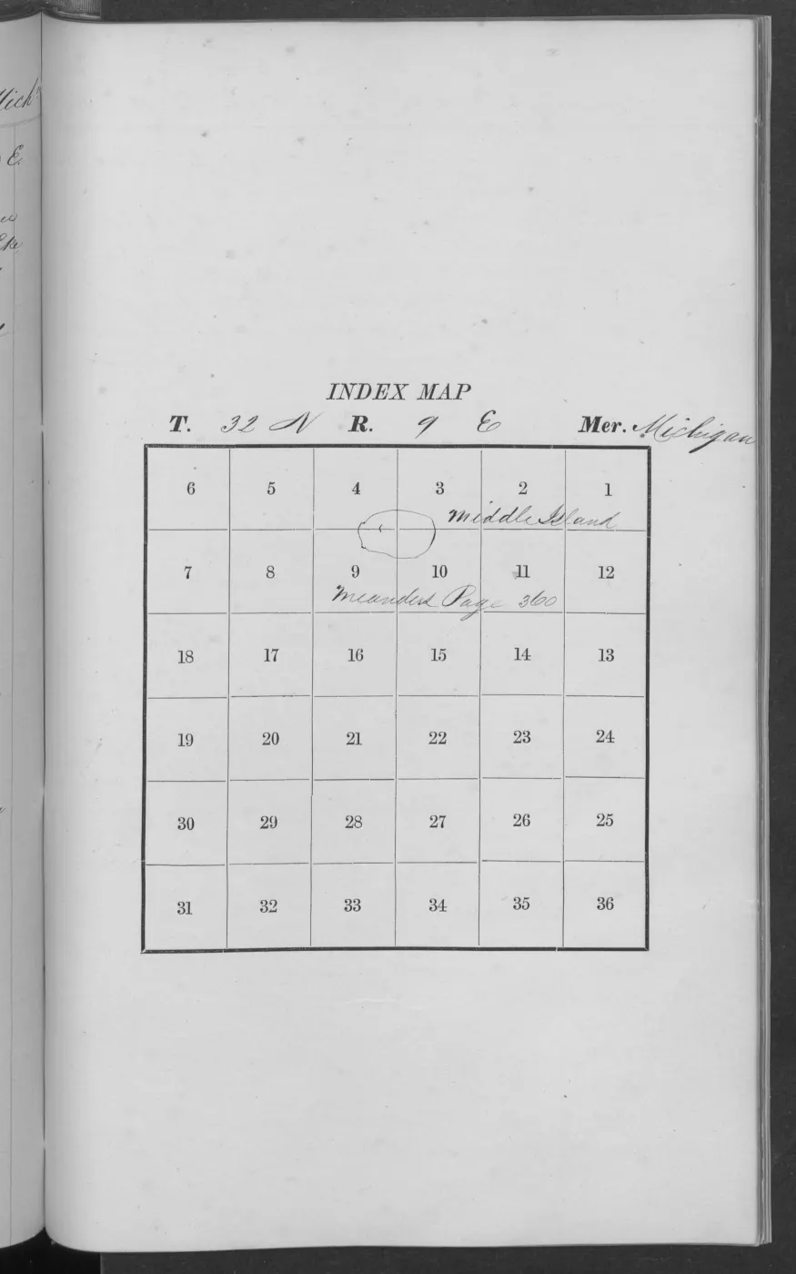
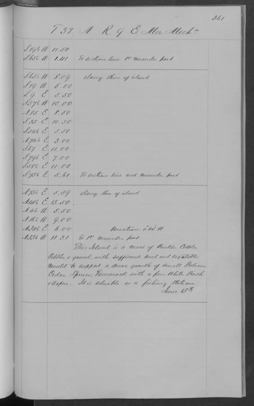
This crosswalk adds a source-linked ecological layer to the held 1845–1849 General Land Office field notes. It contains 57 visually verified records: twenty-one page-bounded observations from Big Beaver Island, eight from Garden Island, four from Hog Island, two combined Garden/Hog observations, three from Ojibwa Island under a historically named source sequence, two from Hat Island, three from High Island, three from Trout Island, two from Whiskey Island, three from Gull Island, one Gull Island-area contextual record, four consecutive pages from North Fox Island, and one from South Fox Island. The records preserve what surveyors wrote about terrain, soil or shore material, marsh and swamp, tree names, windfall, fire, sugar bushes, small-island vegetation, and fishery use.
The source is descriptive and route-bounded. A surveyor’s “first rate,” “second rate,” or “third rate” is historical land-quality shorthand, not a modern soil series or habitat class. A tree name is an observation, not an abundance measurement. No observation is converted into a modern forest polygon, and the absence of a name on a page is not treated as absence from the island.
Big Beaver: a hardwood–conifer and wetland mosaic
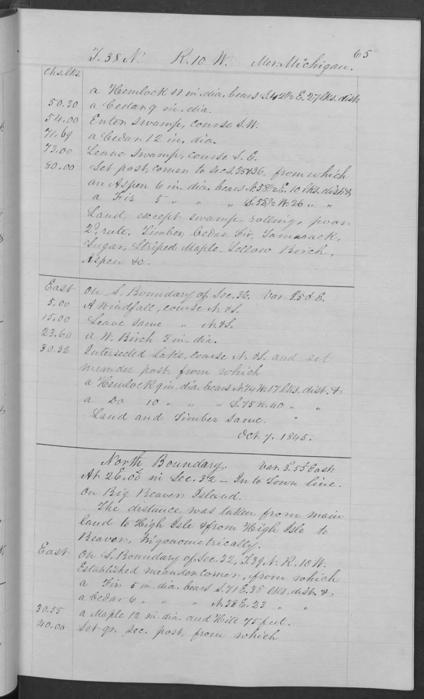
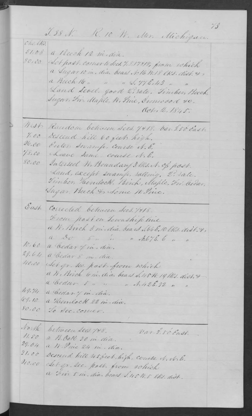
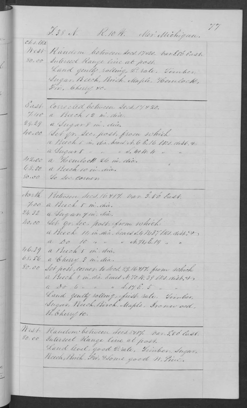
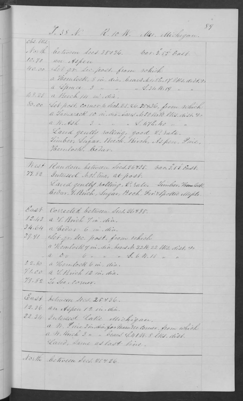
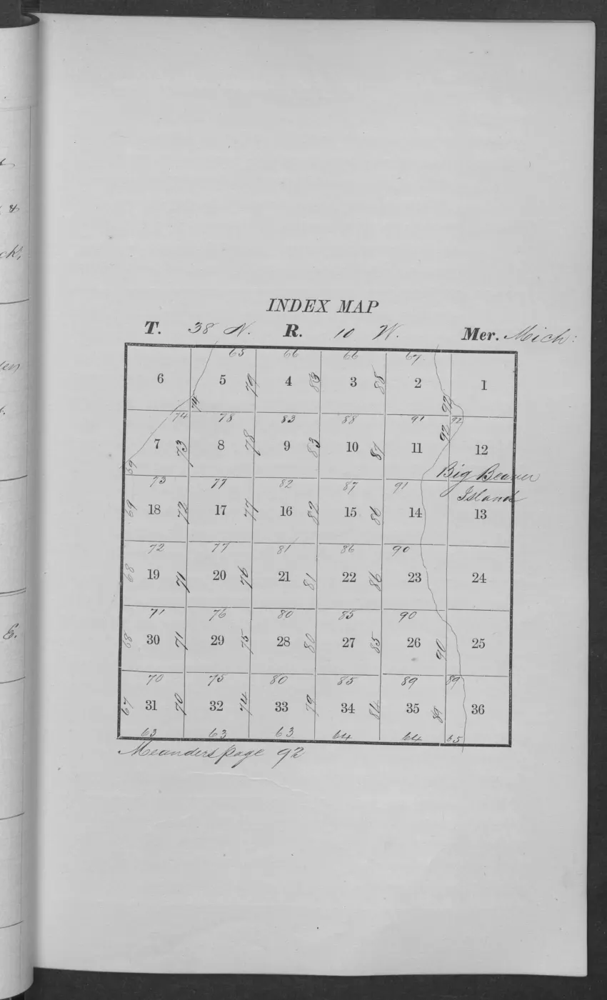
The 1845 T38N R10W pages show a landscape more varied than a single forest label. Pages 0063, 0070, 0074, 0075, and 0077 repeatedly describe rolling or gently rolling ground with sugar and beech, while also naming birch, maple, hemlock, fir, ironwood, cherry, white pine, cedar, spruce, tamarack, elm, ash, and aspen. Page 0070 specifically records black sand and gravel near a small lake and marsh. Page 0065 contrasts upland with swamp, names tamarack, yellow birch, cedar, fir, and aspen, and records windfall. Page 0075 likewise distinguishes swamp from rolling upland and records a broad hardwood–conifer mixture.
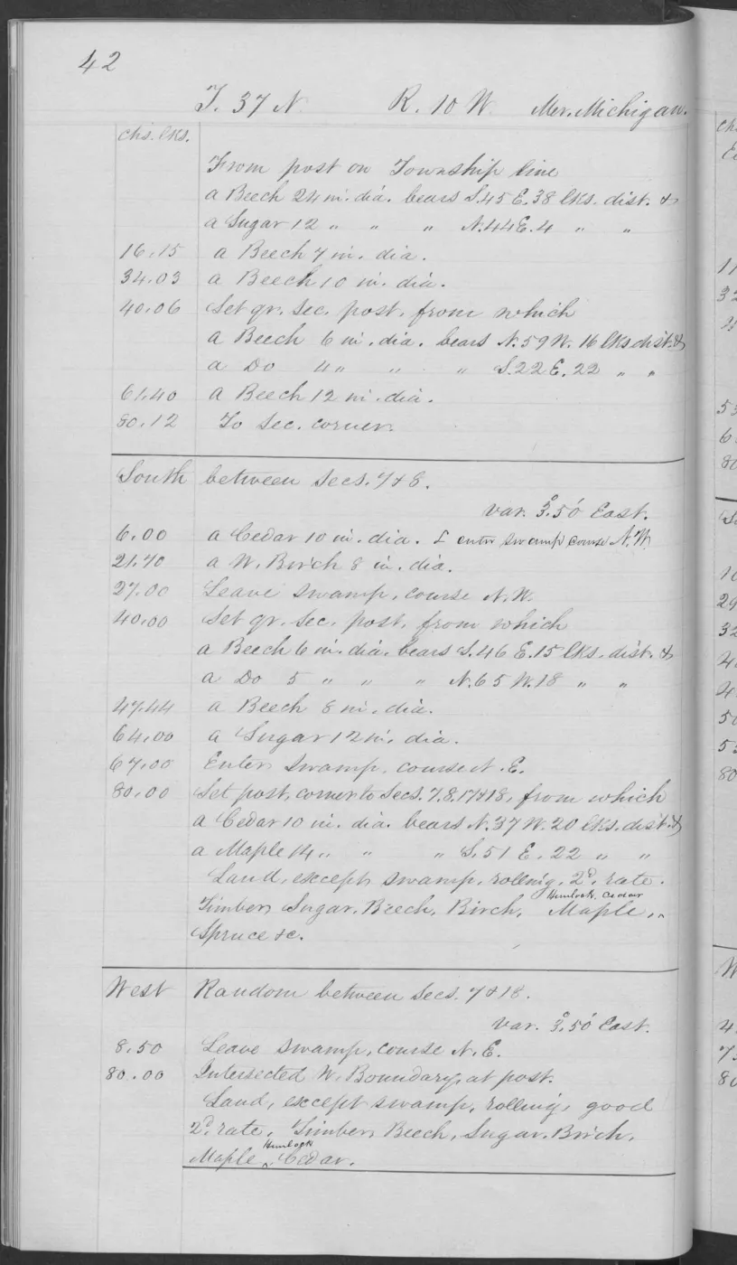
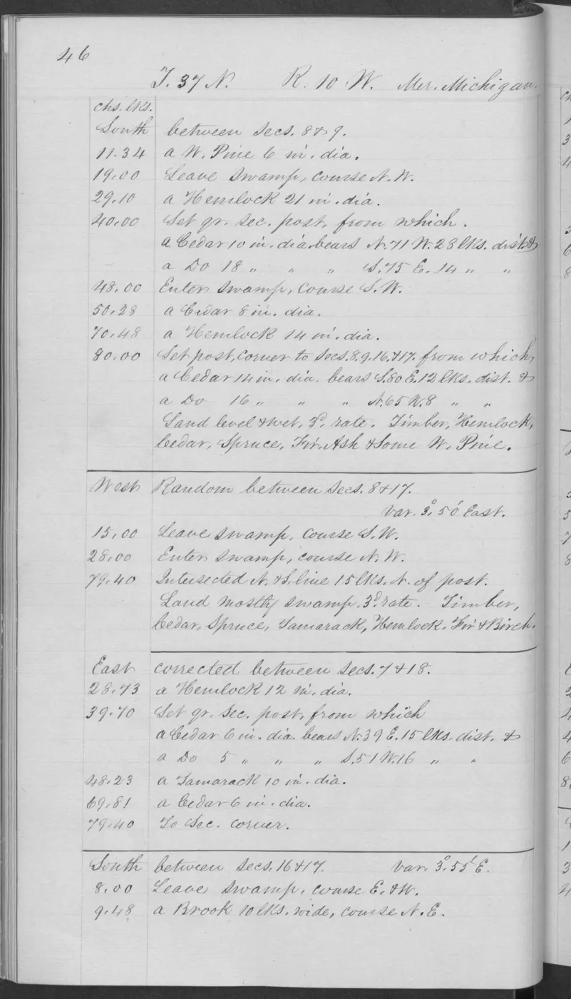
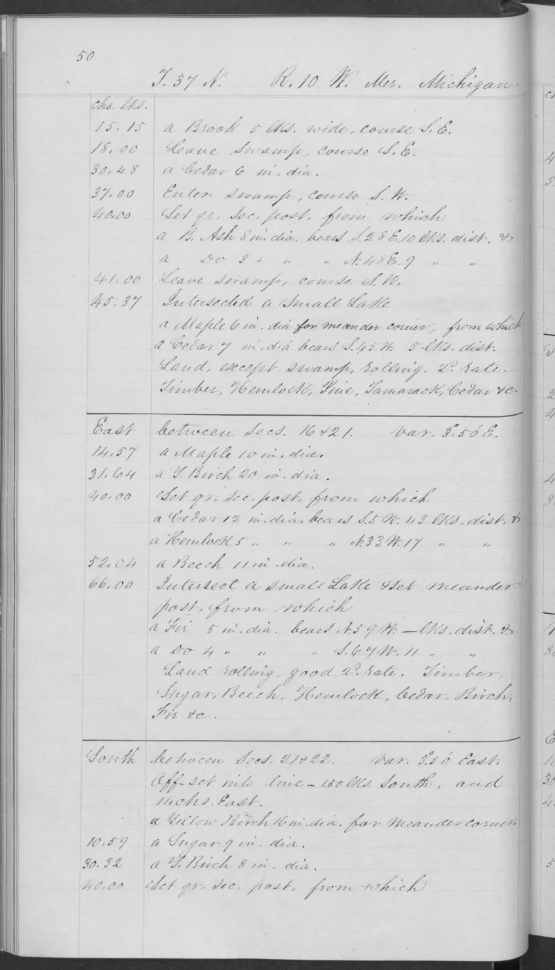
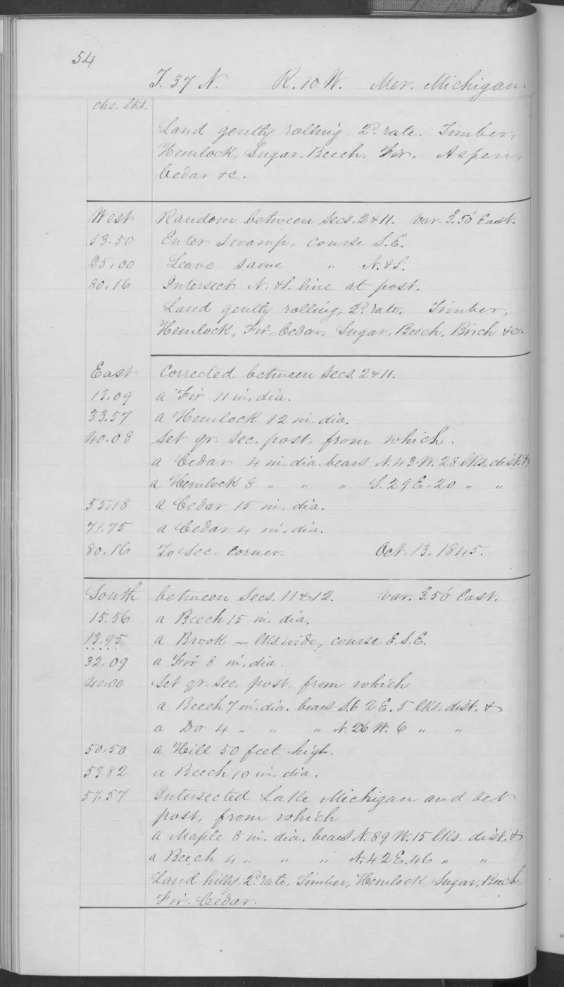
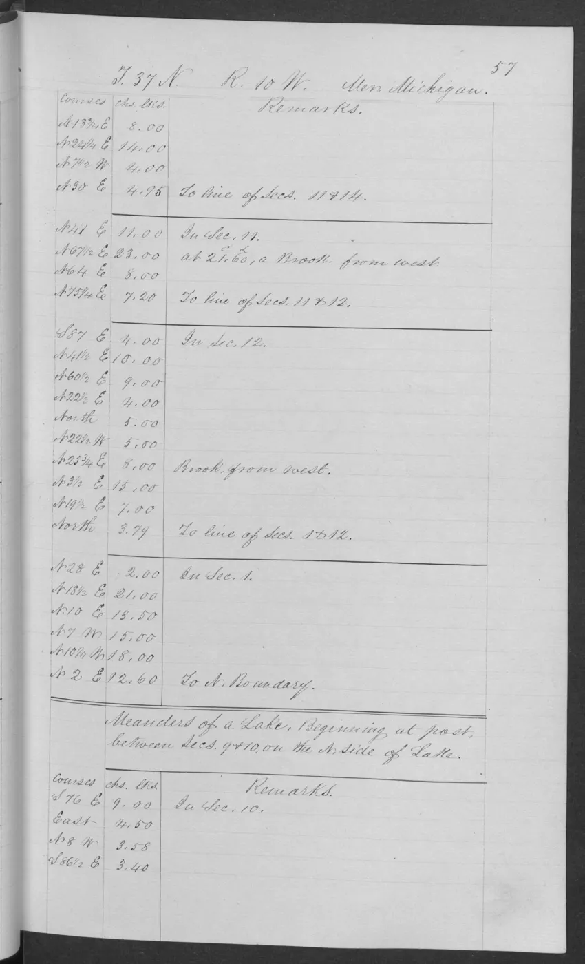
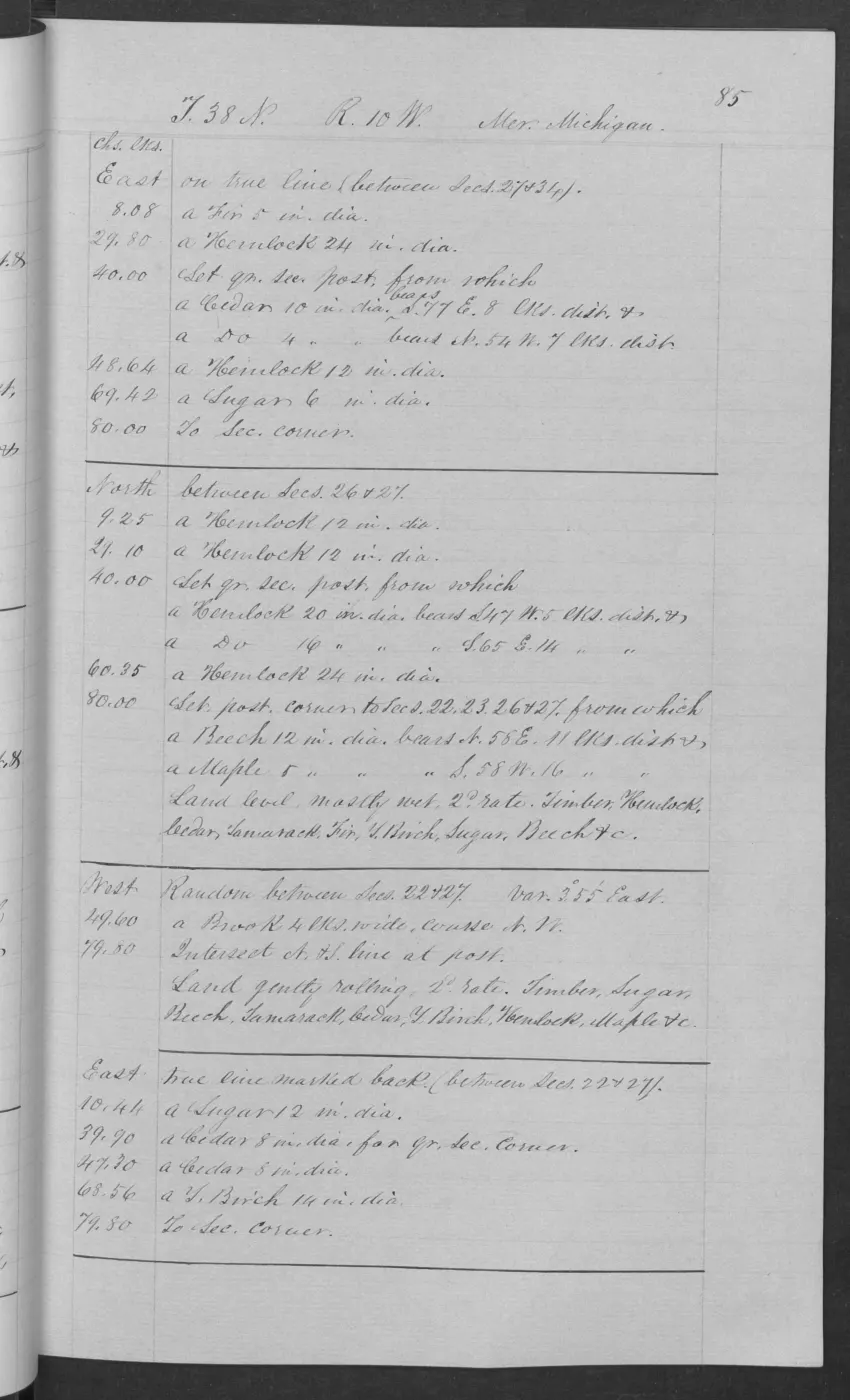
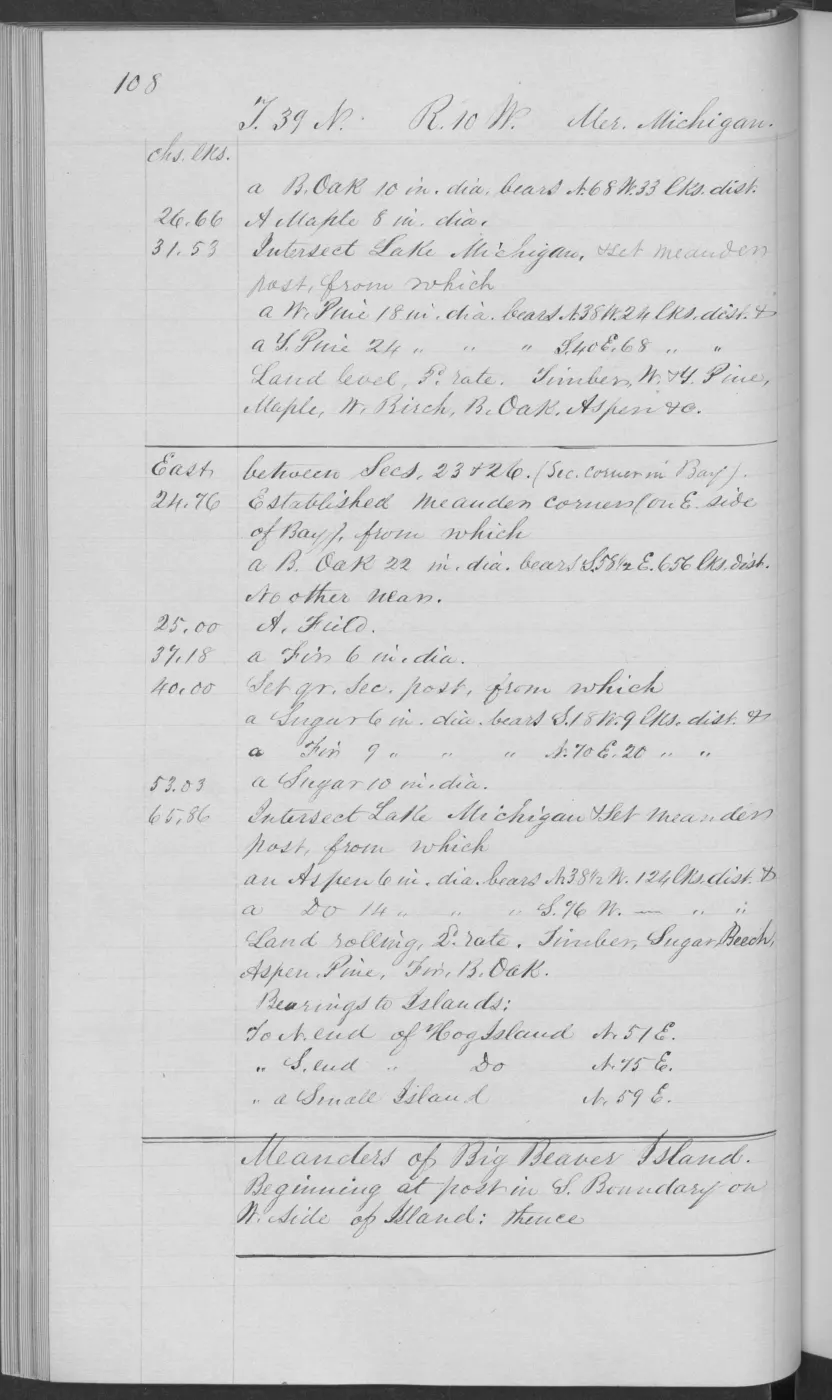
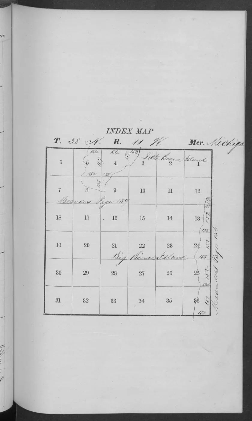
The 1845 T37N R10W pages extend this comparison southward. Page 0037 explicitly begins the North Boundary of Big Beaver Island and records marsh, a small lake, rolling first-rate ground, and sugar, beech, white maple, and white pine. Pages 0038–0039 add marsh/swamp transitions, poor second-rate ground, windfall, tamarack, yellow birch, striped maple, and aspen. Pages 0041, 0045–0047, and 0054 show the gradient from swamp-excepted good or first-rate ground to wet third-rate and hilly or rolling second-rate ground, with hemlock, cedar, fir, spruce, ash, sugar, beech, birch, maple, and pine. Pages 0051 and 0053 connect mostly level wet ground and rolling second-rate sections to Lake Michigan and brooks as wide as 12 chains; page 0055 begins the meanders of Big Beaver Island and records both hilly second-rate and gently rolling first-rate segments. These pages are separate survey segments from the T38N material, not evidence that one composition covered the whole island.
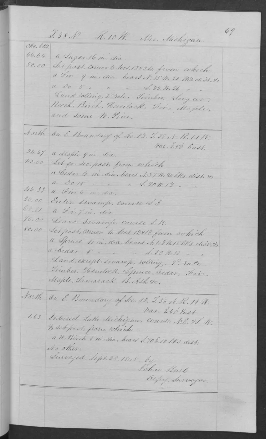
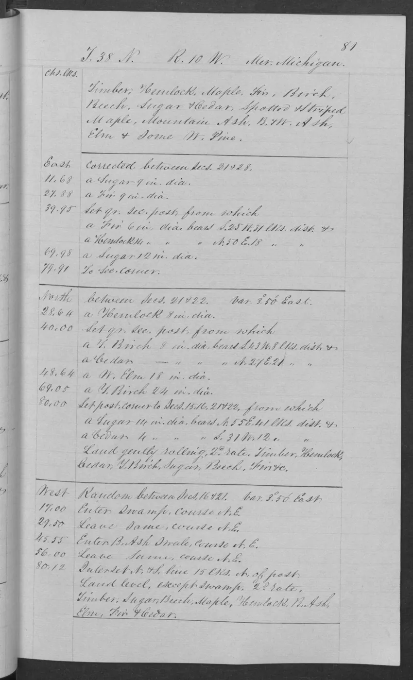
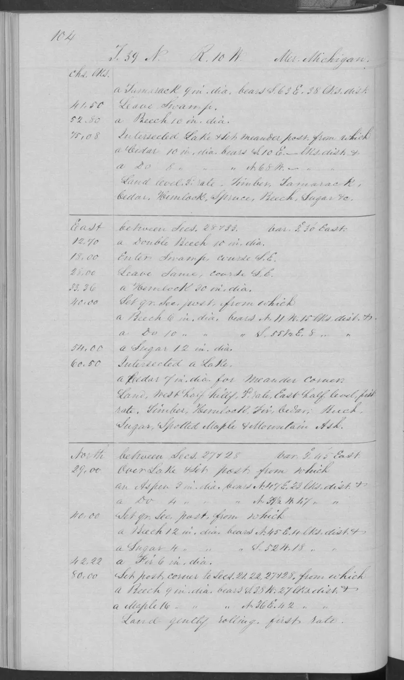
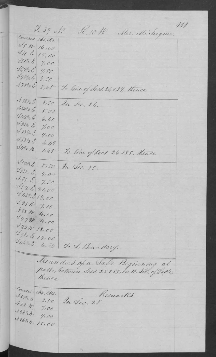
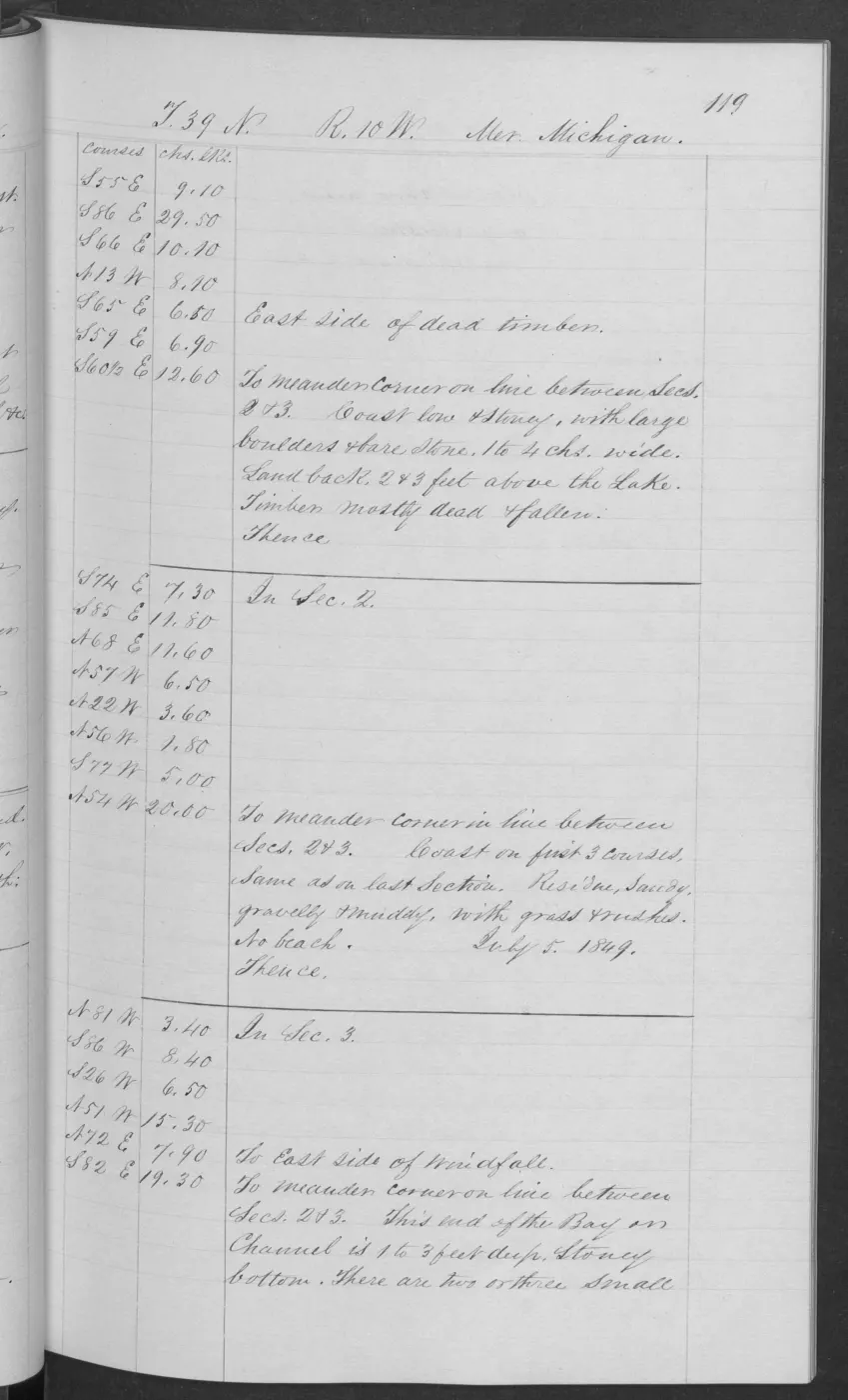
Pages 0066 and 0084 extend the T38N R10W sequence with adjacent section-line comparisons: rolling good second-rate ground, level third-rate ground except swamp, rolling second-rate ground except swamp, and mostly level third-rate swamp. Their tree lists include sugar, beech, maple, fir, cherry, cedar, white pine, hemlock, spruce, tamarack, mountain ash, and black ash. The 1849 T39N R10W page 0104 adds level third-rate and gently rolling first-rate segments, swamp and Lake Michigan intersections, and tamarack, cedar, hemlock, spruce, beech, sugar, birch, and maple. These pages sharpen the historical soil–forest mosaic while remaining route-bounded.
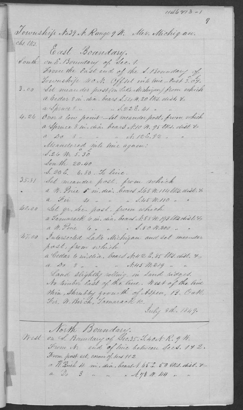
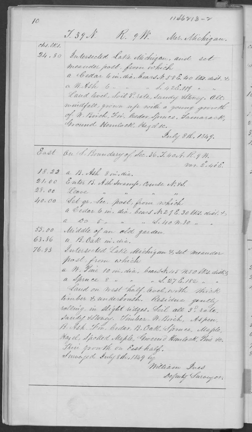
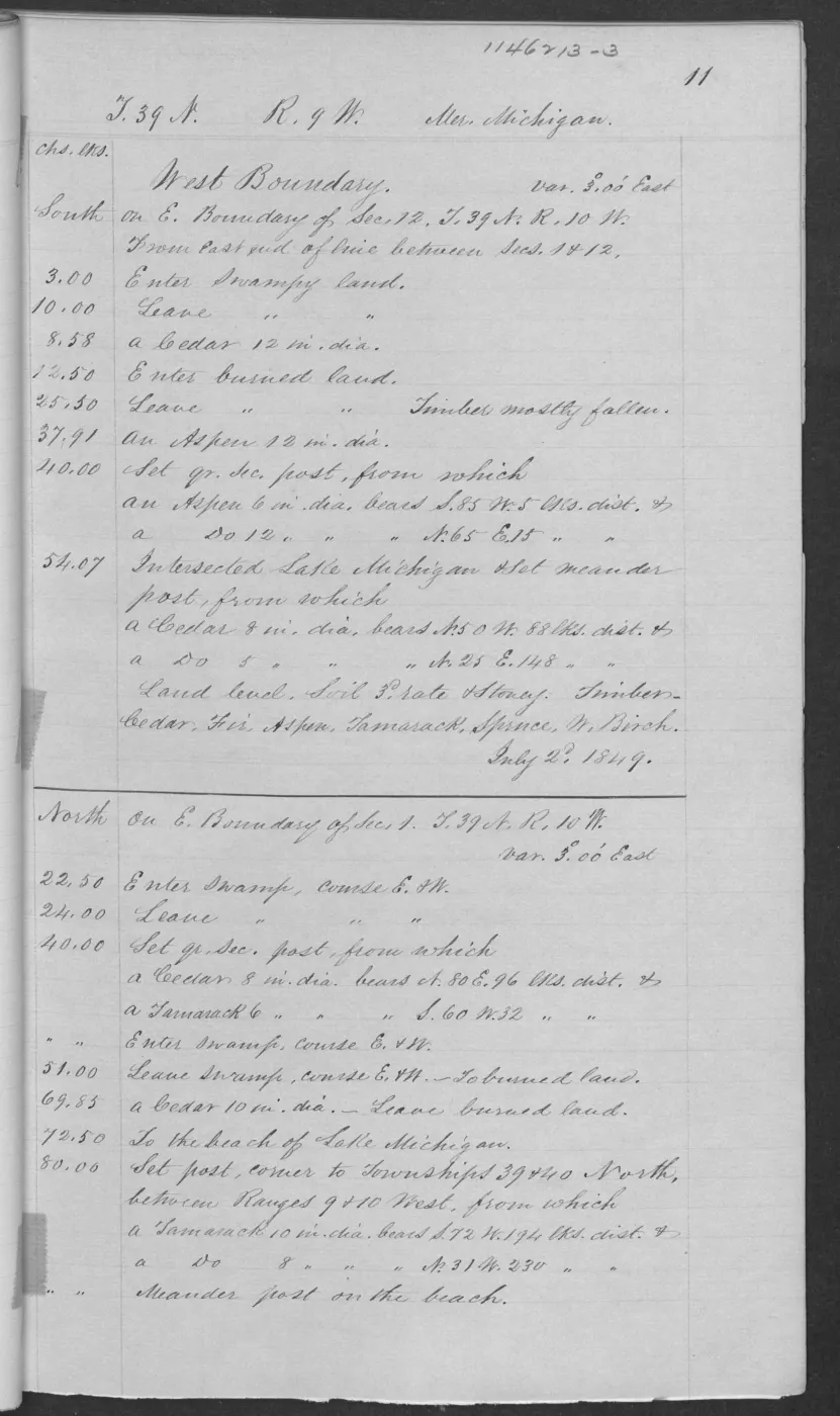
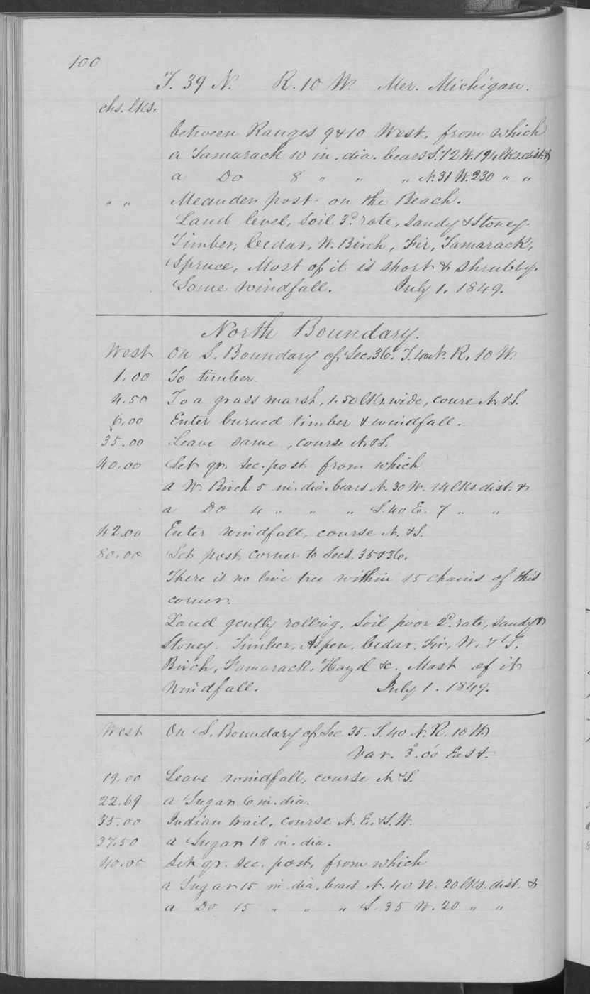
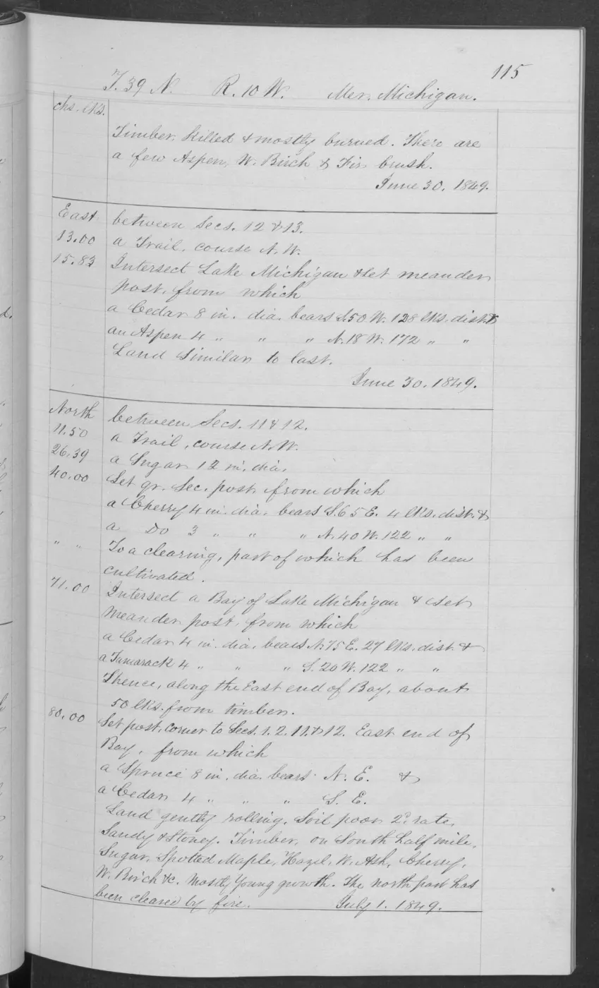
The 1849 T39N R10W subdivision page supplies another Big Beaver snapshot: rolling, sandy, stony second-rate land with sugar, white birch, ironwood, cedar, spotted maple, maple, and hemlock. Its section-level setting makes it useful for comparison with later PLSS, soil, and land-cover joins, but not as a modern parcel or stand assessment.
Garden and Hog: sandy/stony ground and wetland transitions
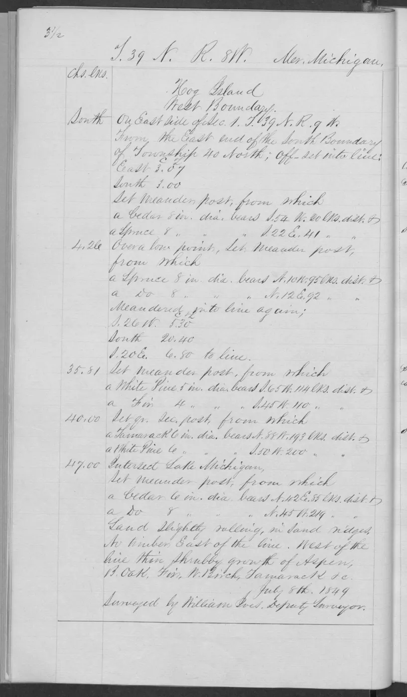
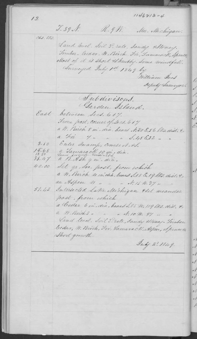
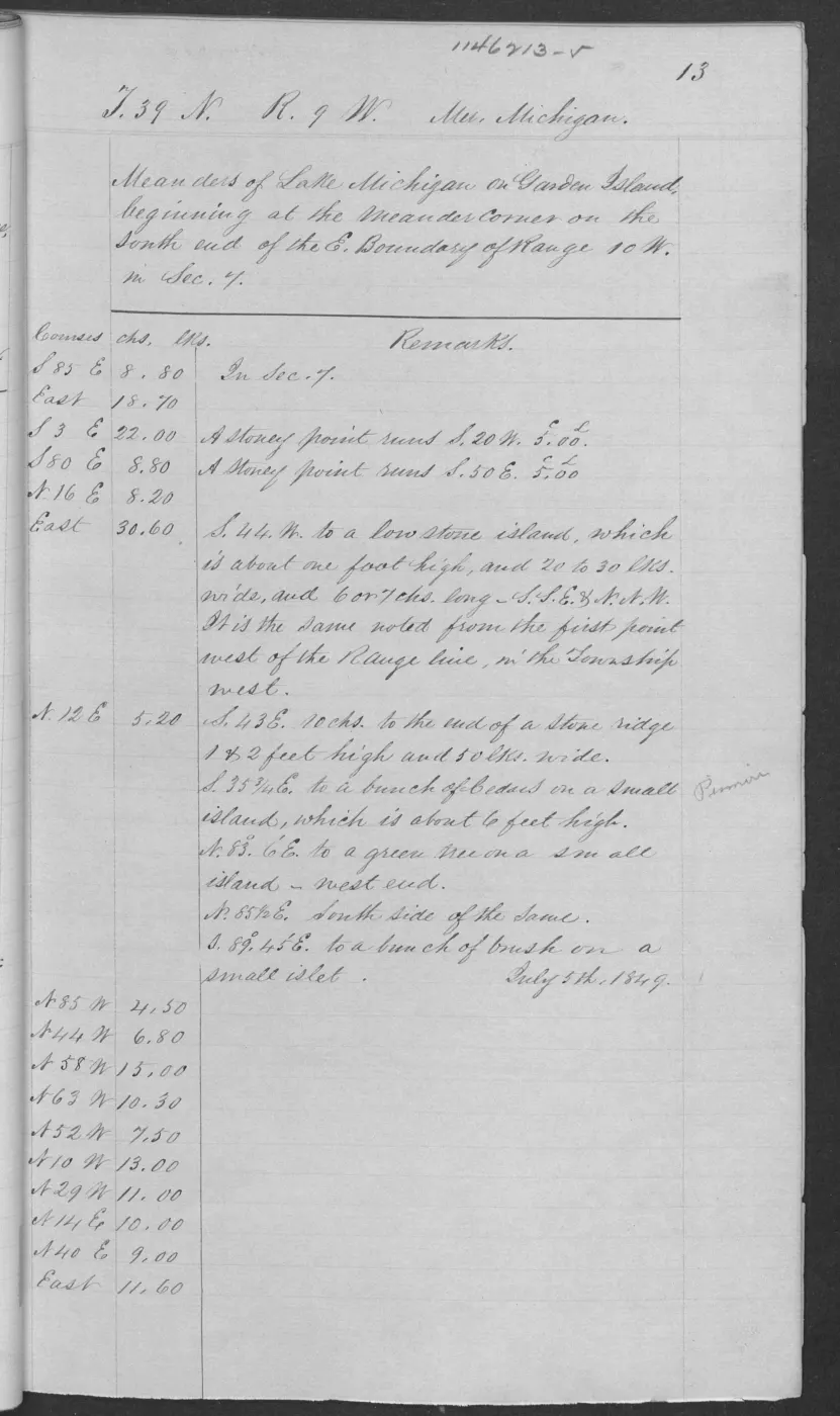
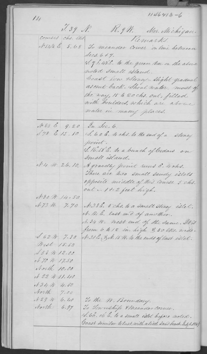
Garden page 0012 is explicitly headed Subdivisions, Garden Island. It records level, sandy and stony third-rate ground with short or shrubby cedar, white birch, fir, tamarack, spruce, and aspen, plus some windfall and swamp crossings. Page 0106 names the north end of Garden Island and adds level/gently rolling ground, sugar, beech, maple, fir, cottonwood, white pine, hemlock, spruce, and cedar.
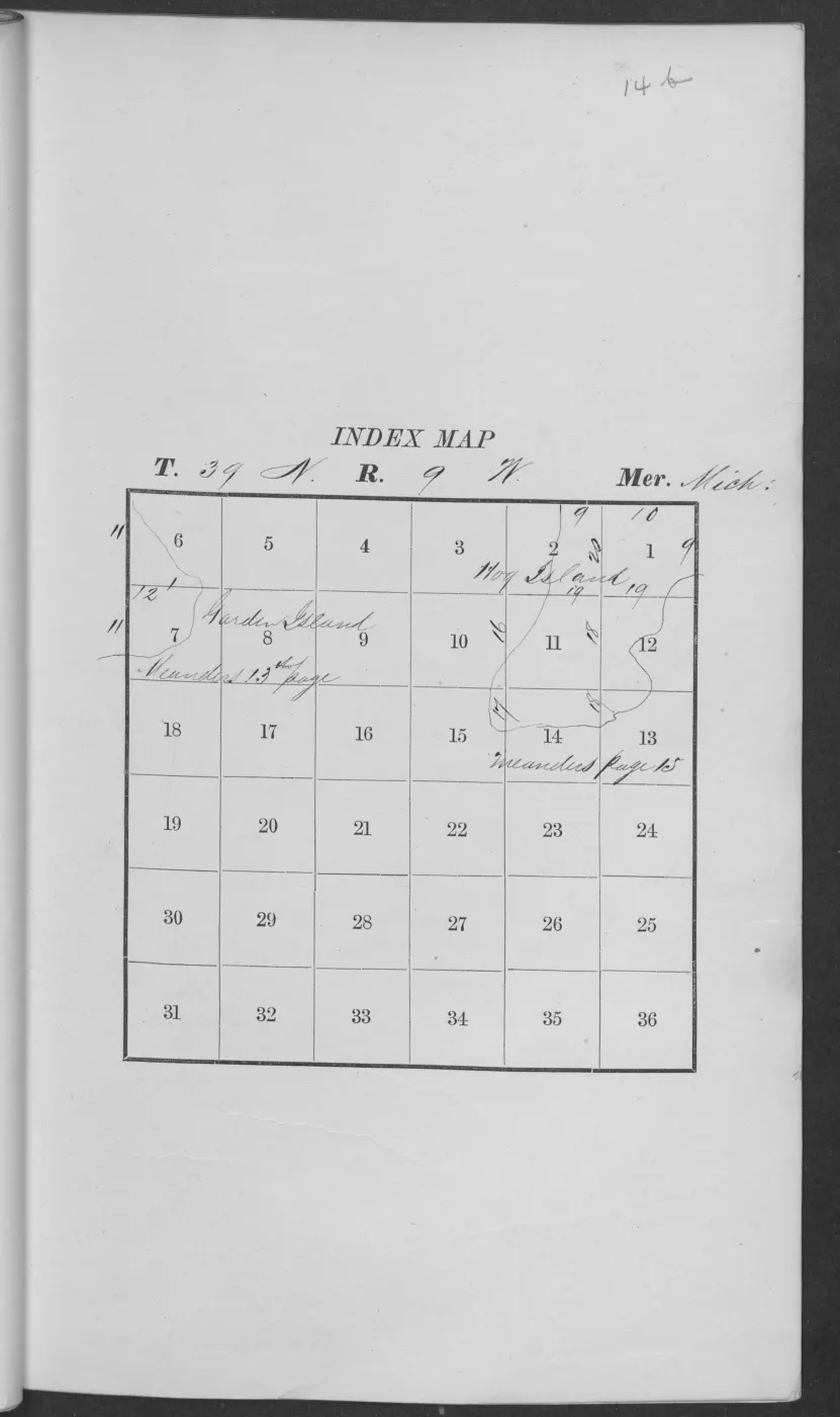
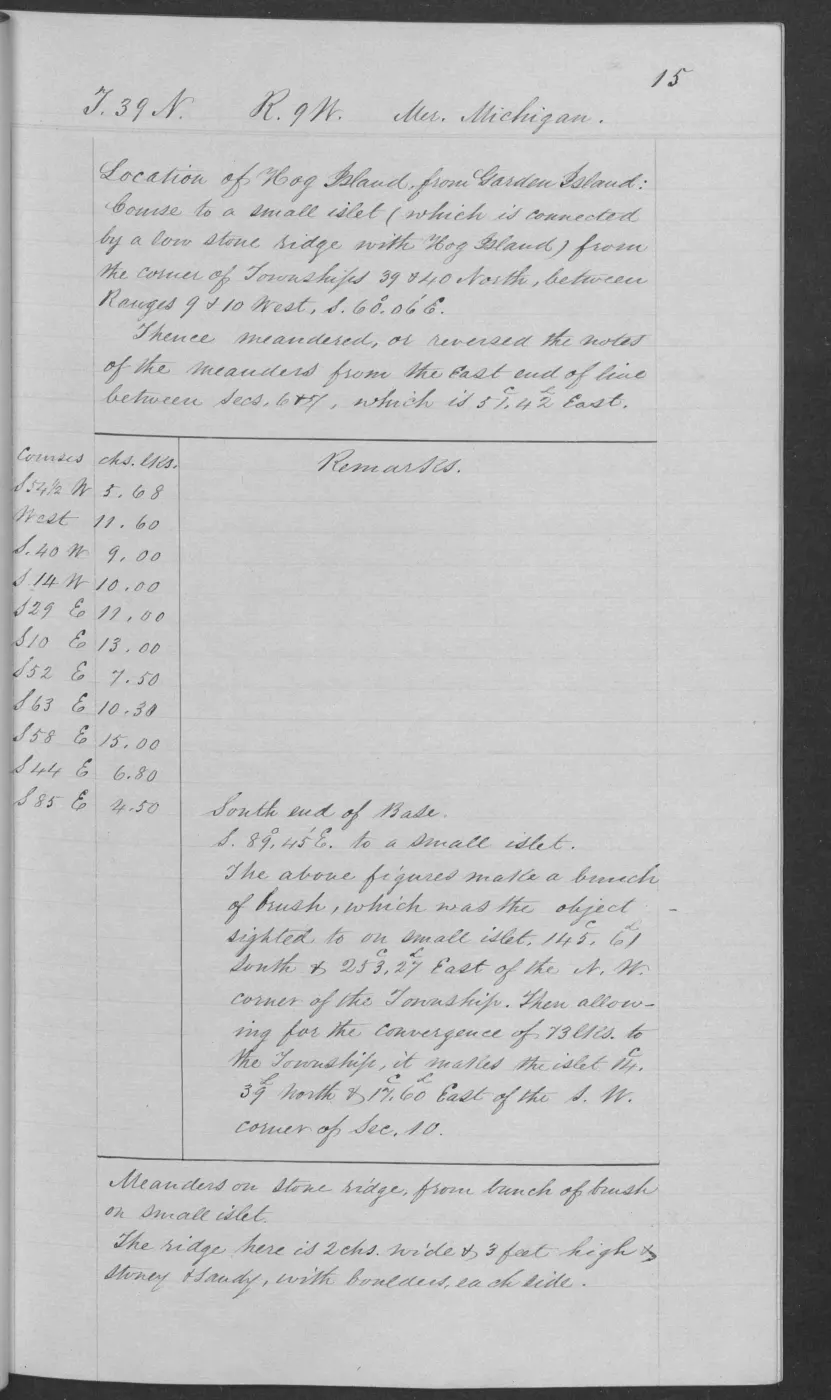
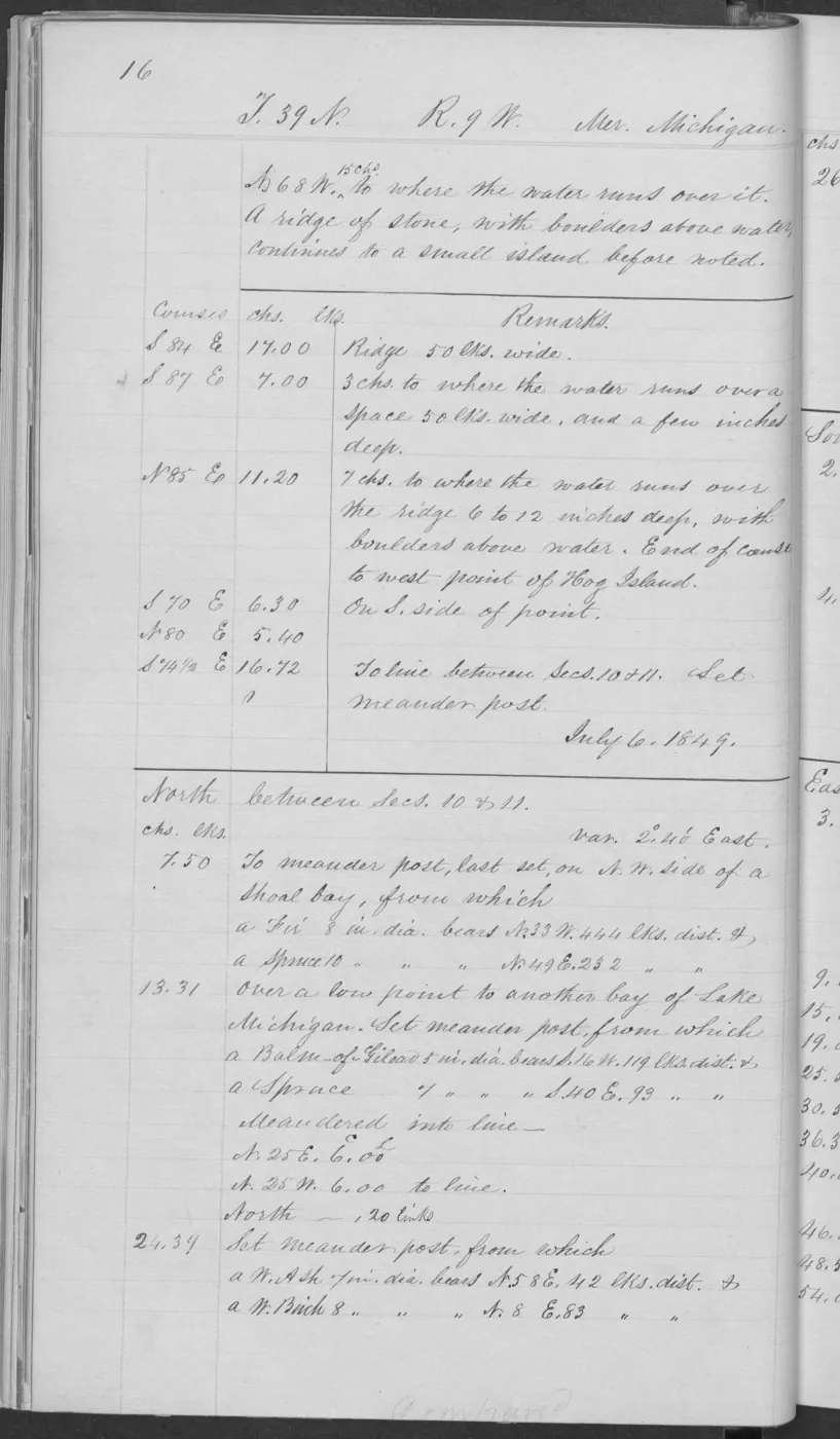
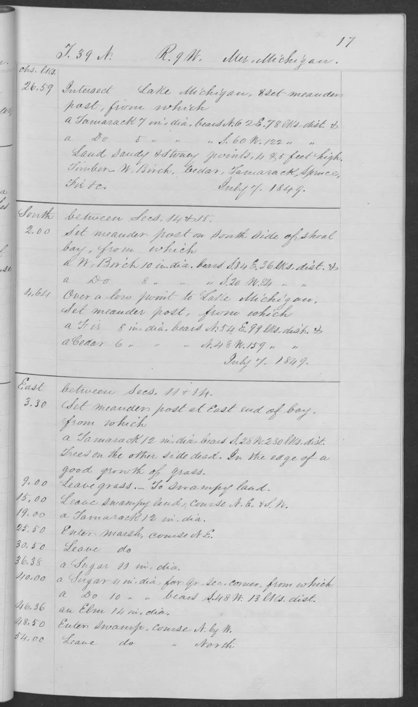
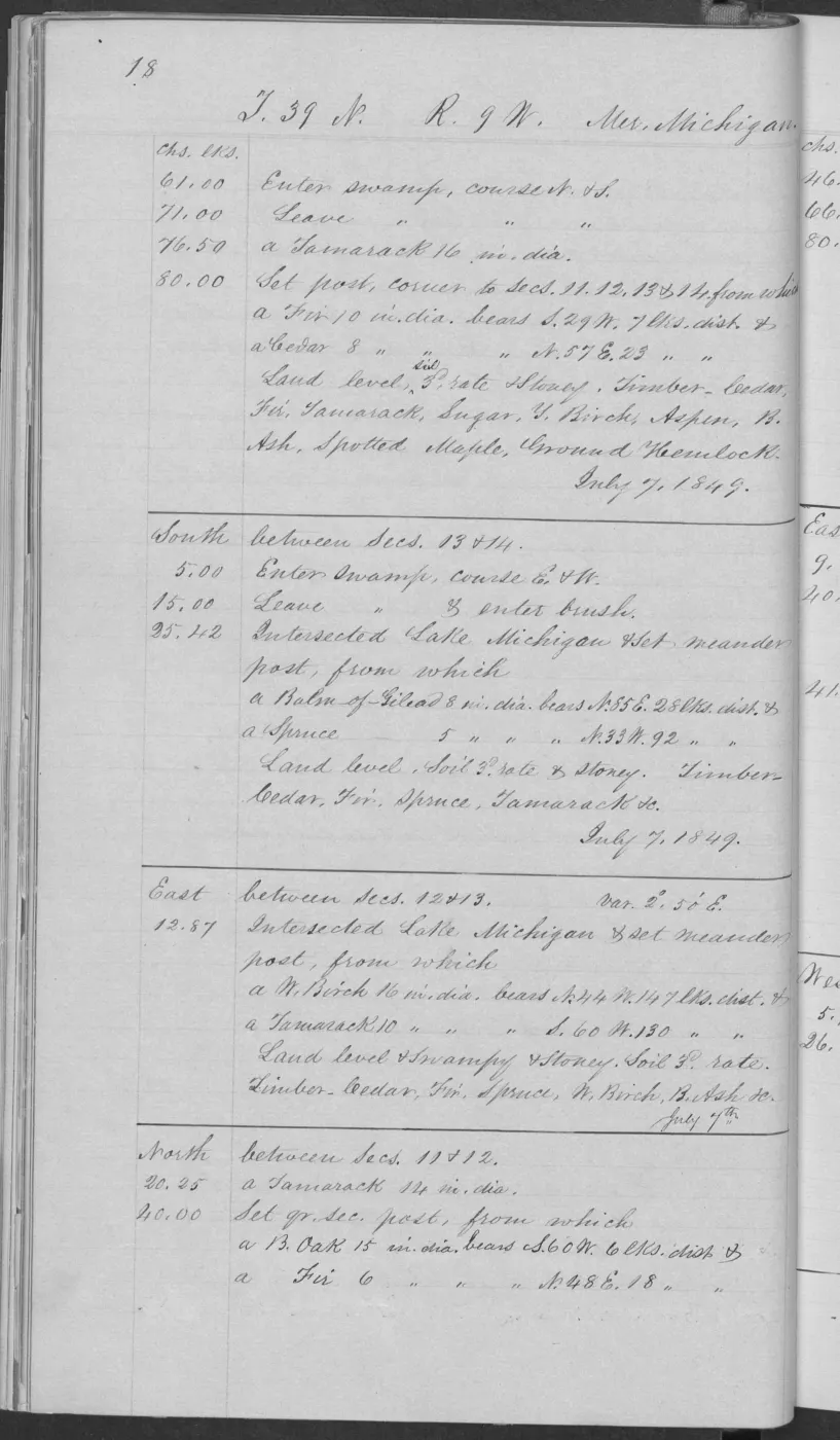
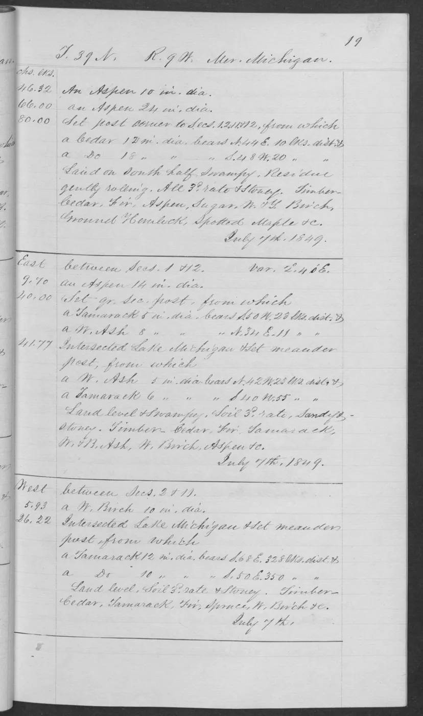
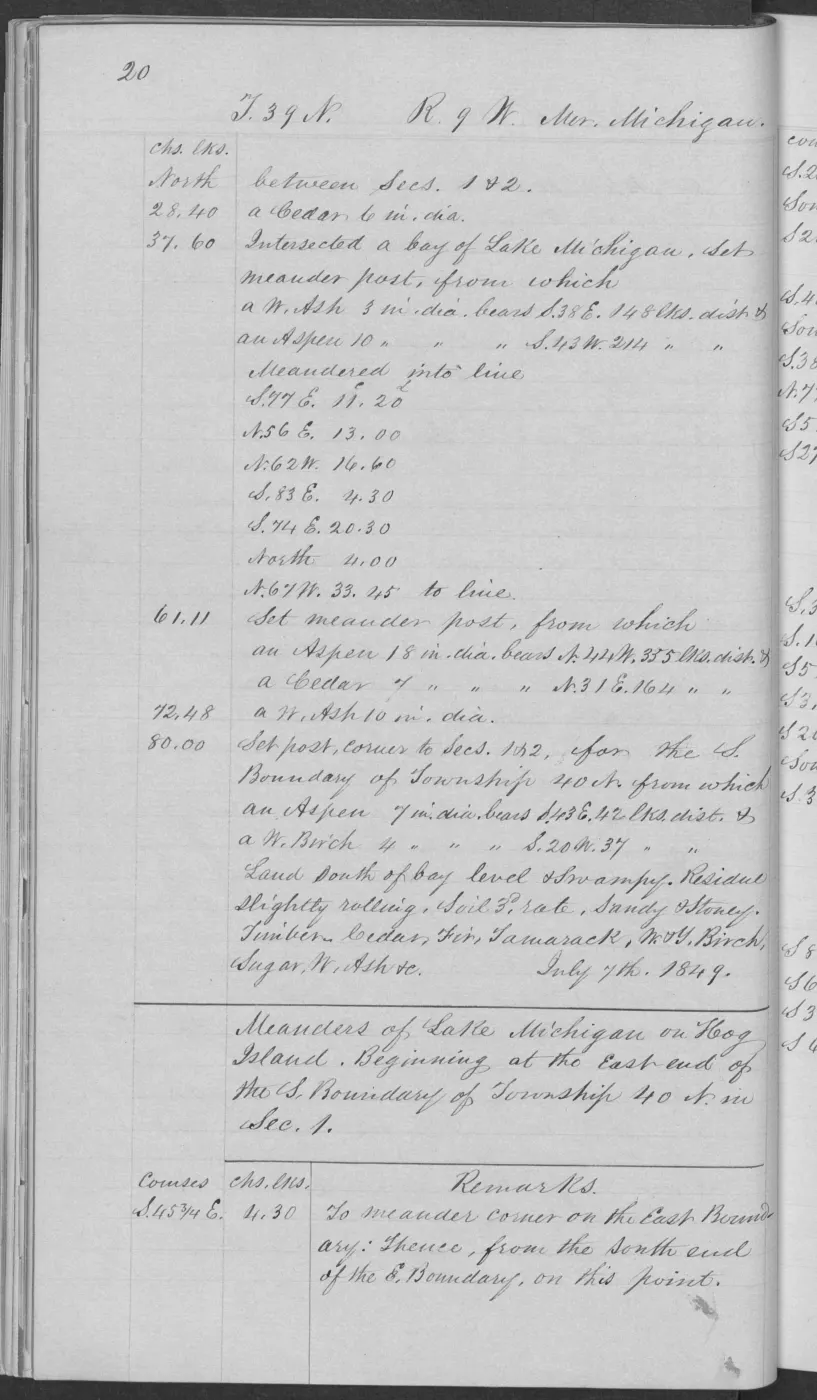
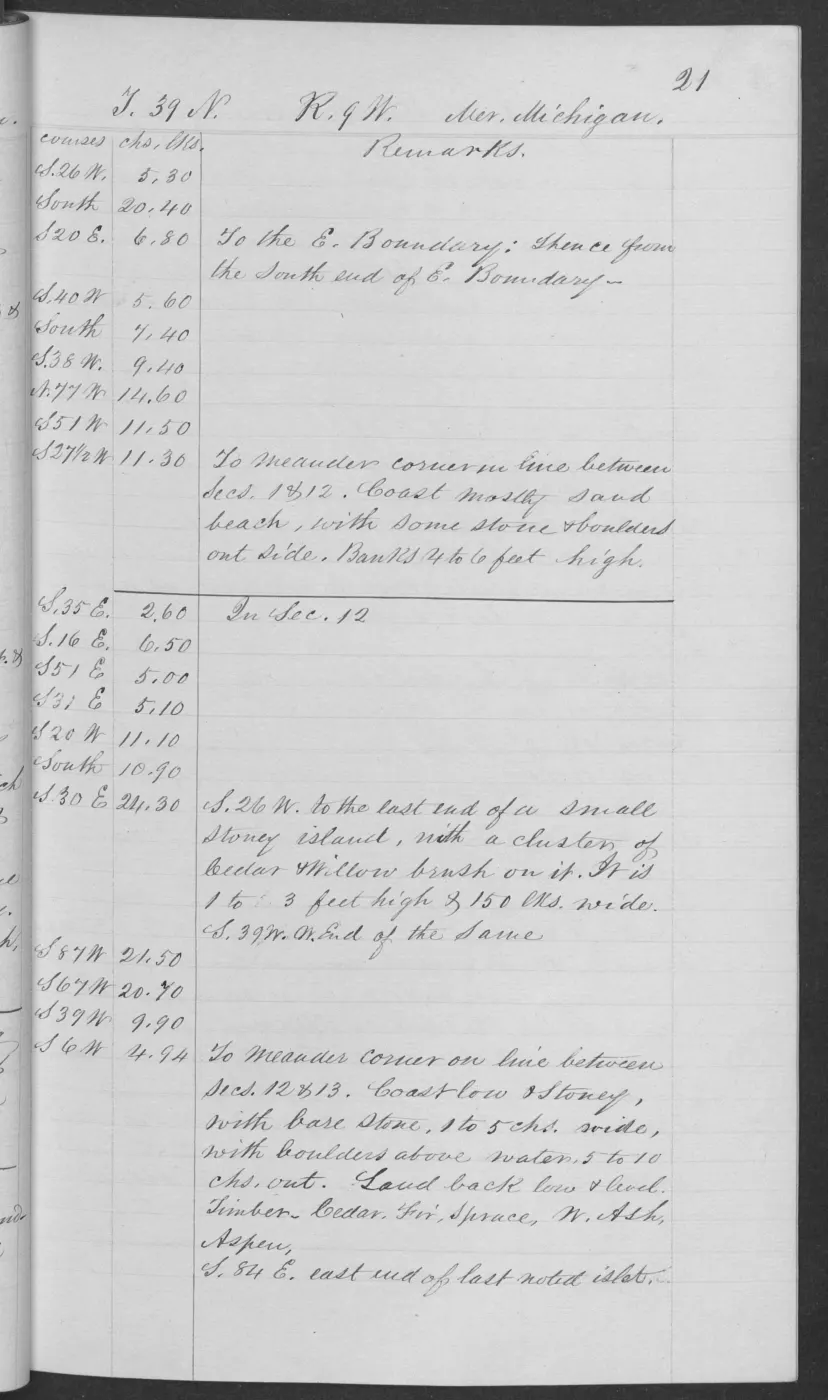
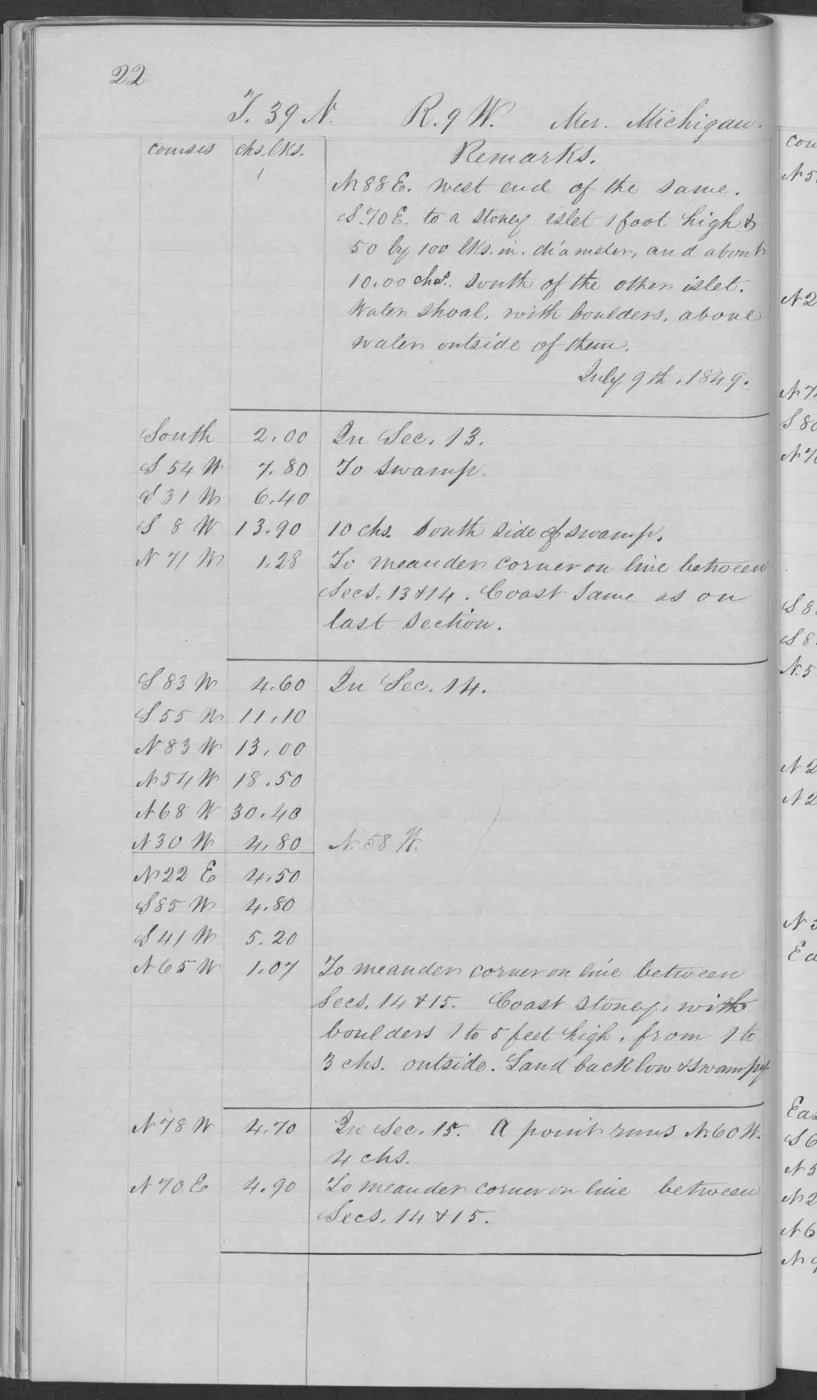
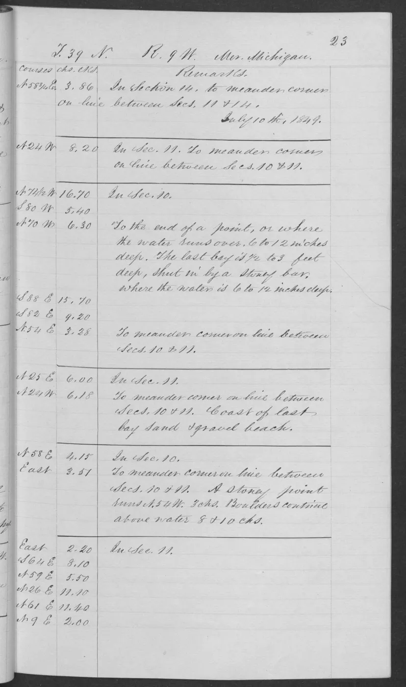
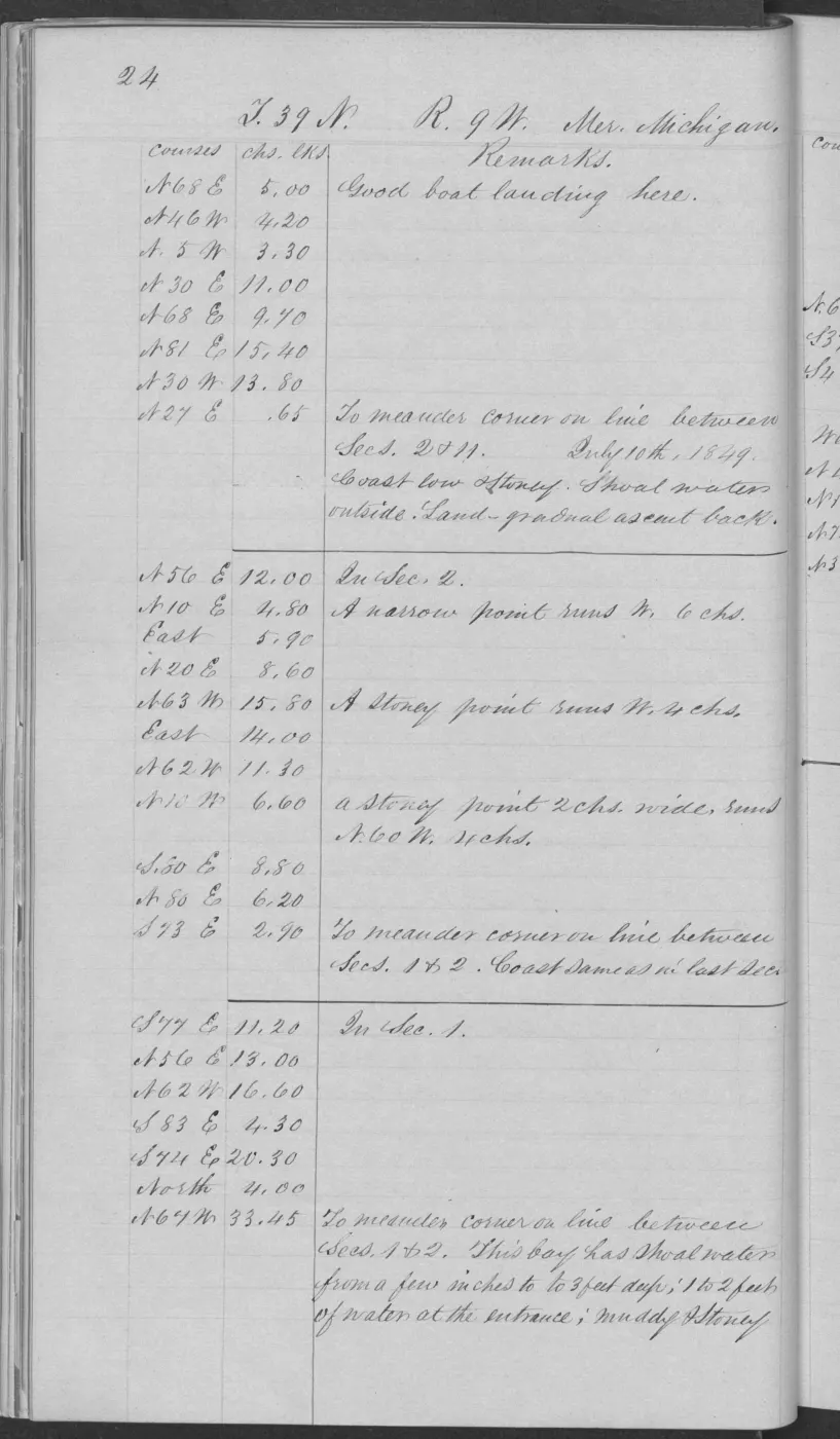
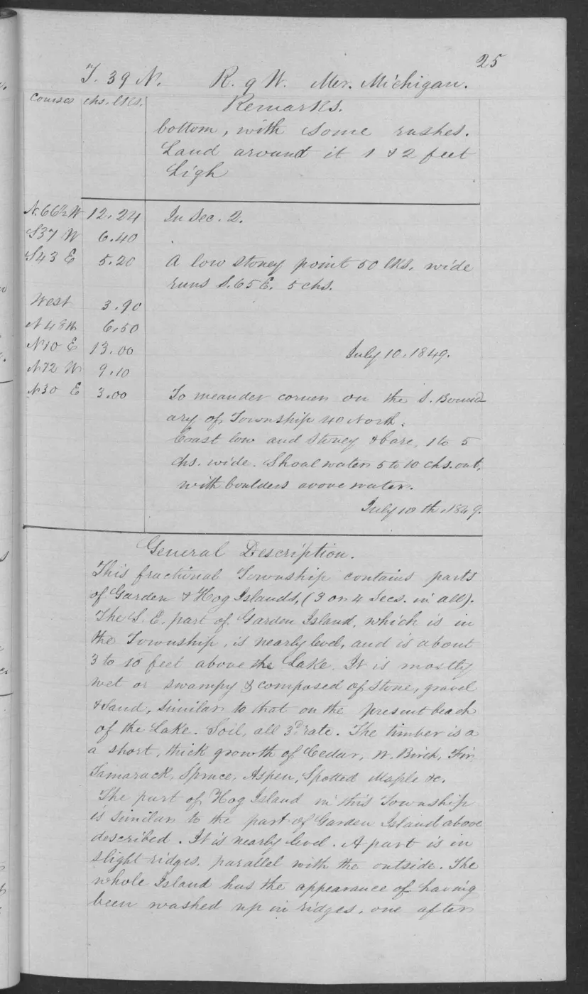
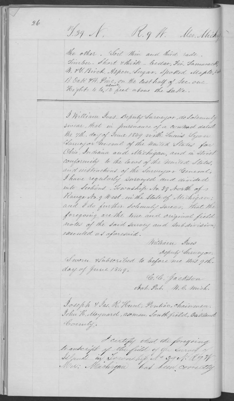
The T39N R9W Hog/Garden survey sequence supplies complementary observations on pages 0019, 0025, and 0026: swampy and level/rolling third-rate segments, sandy and stony ground, low parallel ridges, short thick cedar, fir, tamarack, white birch, aspen, sugar, spotted maple, black oak, and white pine. Page 0025 is intentionally retained as a combined Garden/Hog record because the surveyor’s general description covers both islands on the same page; it is not split into two artificial observations.
Page 0018 extends that sequence backward with level third-rate swamp and stony ground along sections 12–14, repeated Lake Michigan intersections, and cedar, fir, tamarack, sugar, white birch, aspen, black ash, spotted maple, ground hemlock, and spruce. It is kept as a combined Garden/Hog record because the page does not resolve the island boundary more narrowly.
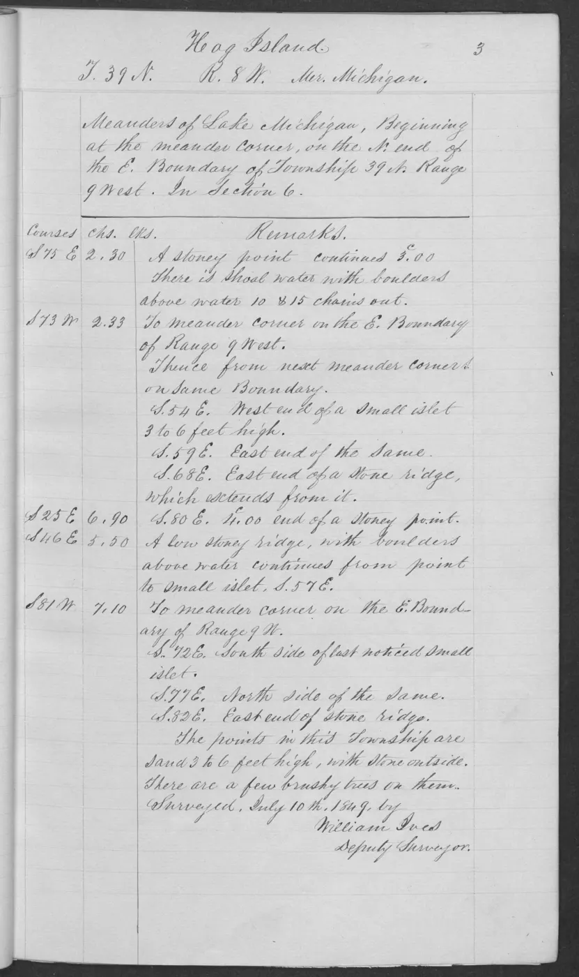
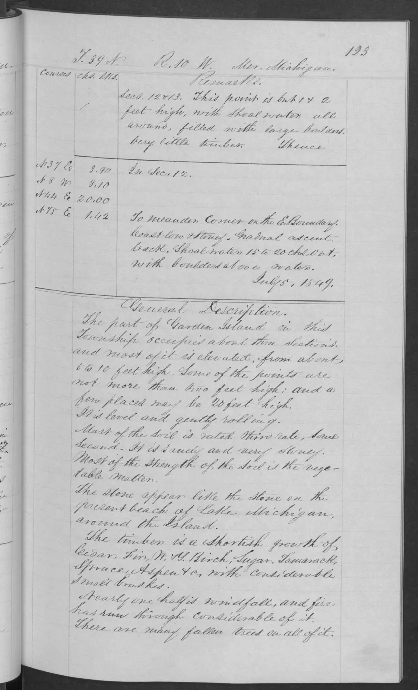
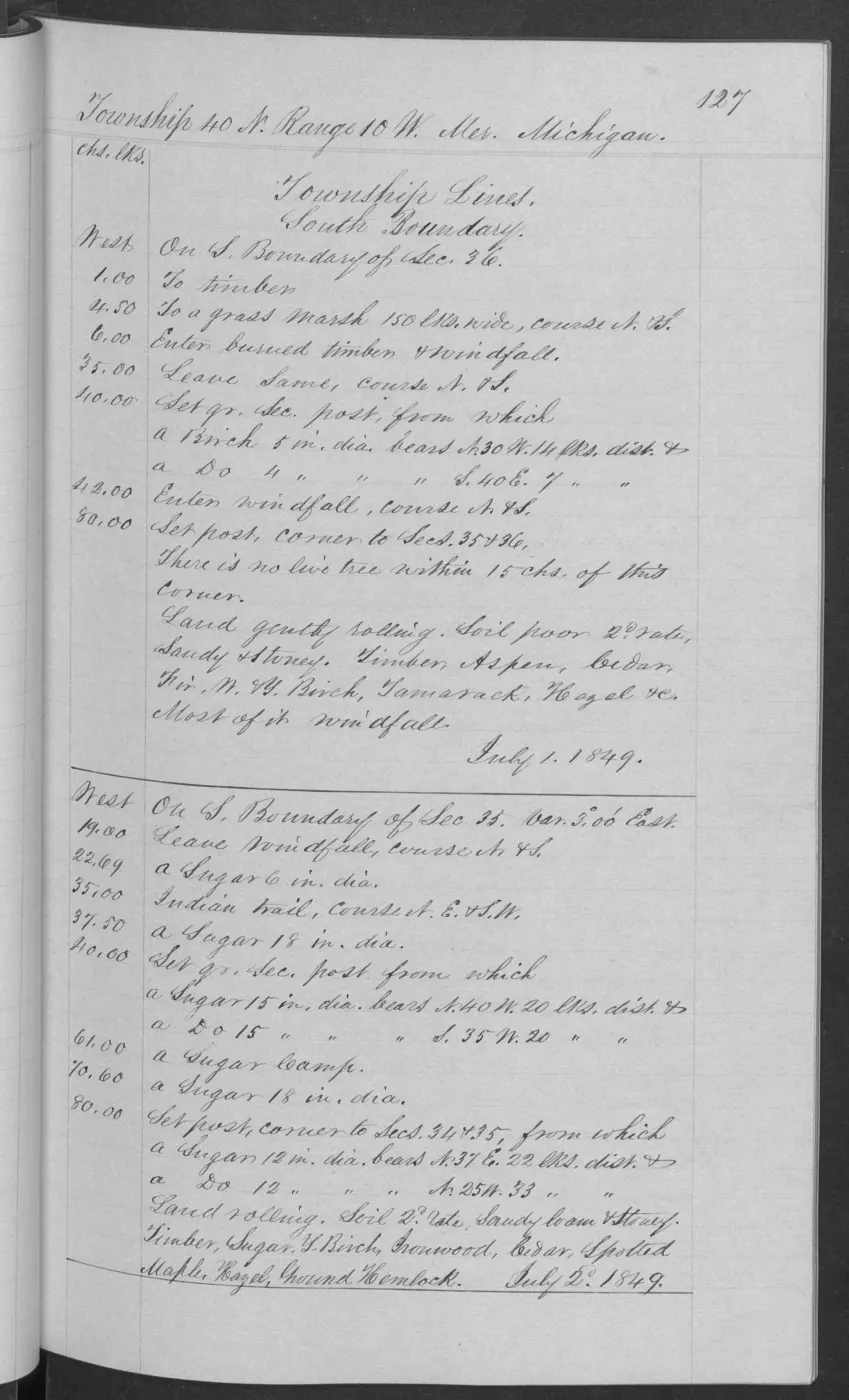
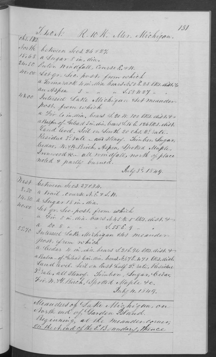
The additional Garden/Hog pages broaden the time-and-place comparison. Pages 0032–0033 describe Hog’s north end as a low stone-and-sand ridge-and-beach landscape with a thin third-rate vegetable soil and a small, thick growth of fir, cedar, white birch, tamarack, sugar, aspen, spotted maple, and ground hemlock, with black oak and white pine also noted. Garden pages 0123–0124 describe sandy, very stony ground over compact beach-like stone, mostly third-rate with some second-rate areas, short mixed conifer/hardwood growth, extensive windfall and fire, and a few locally good sugar bushes. Pages 0133–0134 add low stone beach, boulders, swamp, a windfall, a thin vegetable layer, burned areas where stone predominated, and locally handsome sugar timber. Page 0117 adds a Garden sequence with stony third-rate gently rolling ground, windfall, a section corner with no live tree within 15 chains, and fire-affected dead and mostly fallen red pine, cedar, fir, aspen, sugar, and white birch. Page 0127 adds a grass marsh, burned timber and windfall, poor second-rate and third-rate sandy/stony ground, and aspen, cedar, fir, birch, tamarack, hazel, sugar, ironwood, spotted maple, and ground hemlock. Together these pages make the survey record a usable historical soil–shore–forest sequence without turning it into a modern habitat map.
Fox Islands: shore material, sand, and timber
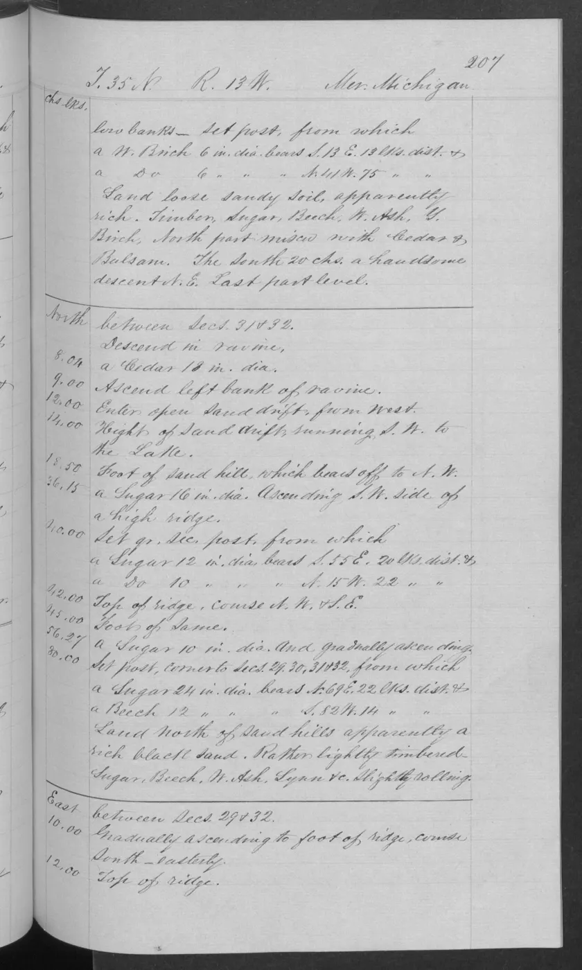
South Fox page 0193 records fine sand rich with vegetable mould, gently rolling land descending northeast, beech and sugar timber, cedar and fir in the bounded description, and sand drifts at a low point. This provides an early shore-and-vegetation observation for the Fox Islands that is independent of the Beaver Island natural-community survey coverage.
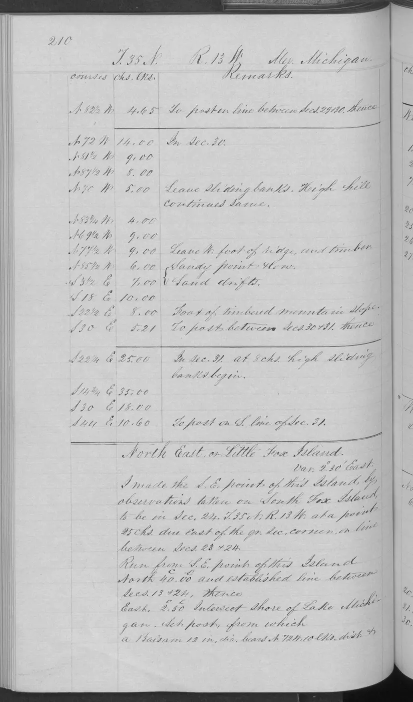
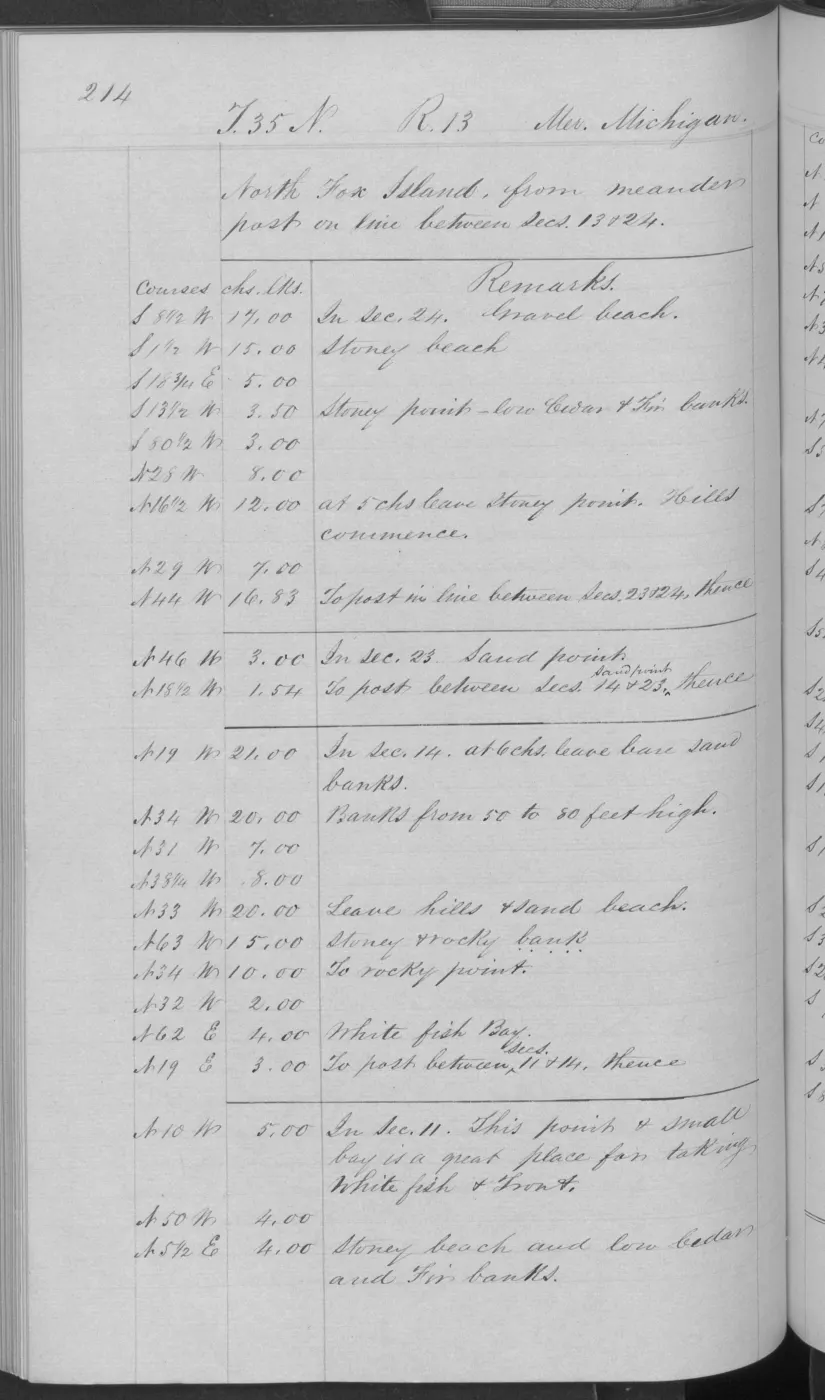
North Fox pages 0212–0215 must be kept as a sequence. Pages 0212–0213 add wet swales, low pebble banks, hard-pan, coarse compact gravel and pebbles, very little vegetable mould, cedar/balsam thickets, and a narrow stony beach, with mixed sugar, beech, maple, spruce, birch, ash, cedar, fir, balsam, and tamarack. Page 0214 records a rocky beach, a bed of barren rocks and pebbles 2–3 chains wide, clay banks 12–20 feet high, and nearly bare lime pebbles. Page 0215 records gravel beach with sugar and beech timber, low cedar and fir banks, and Pleasant Point’s fishing shanties and fishing banks. Together they show why a single “North Fox ecology” label would lose the shoreline-to-upland variation present in the original record.
Other surveyed islands: thin soils, fire, and fishery landscapes
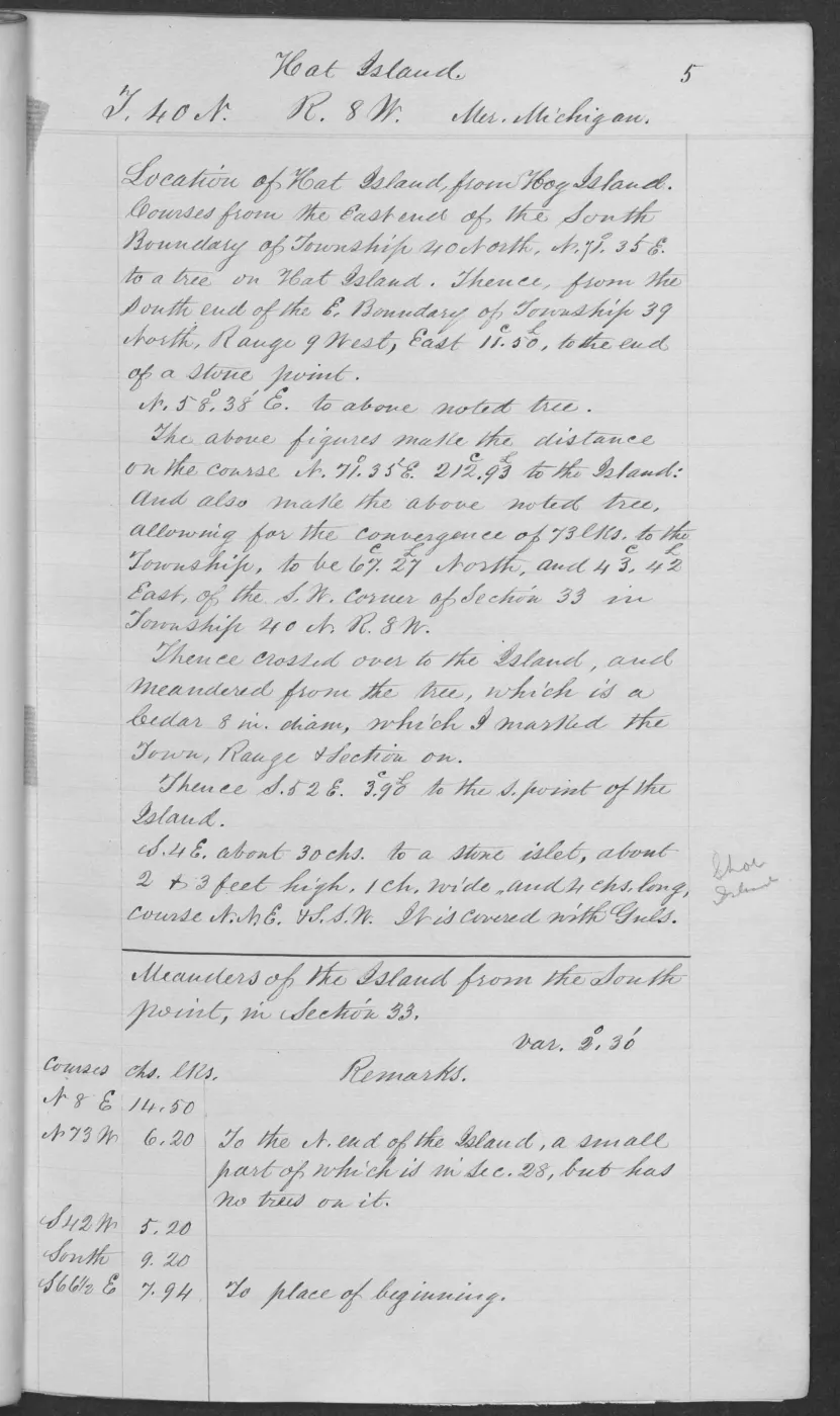
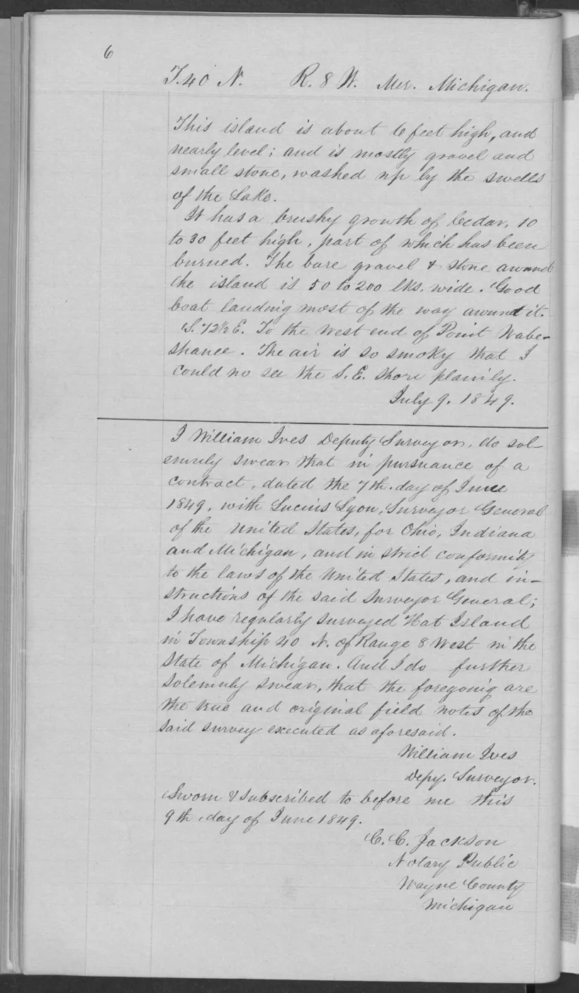
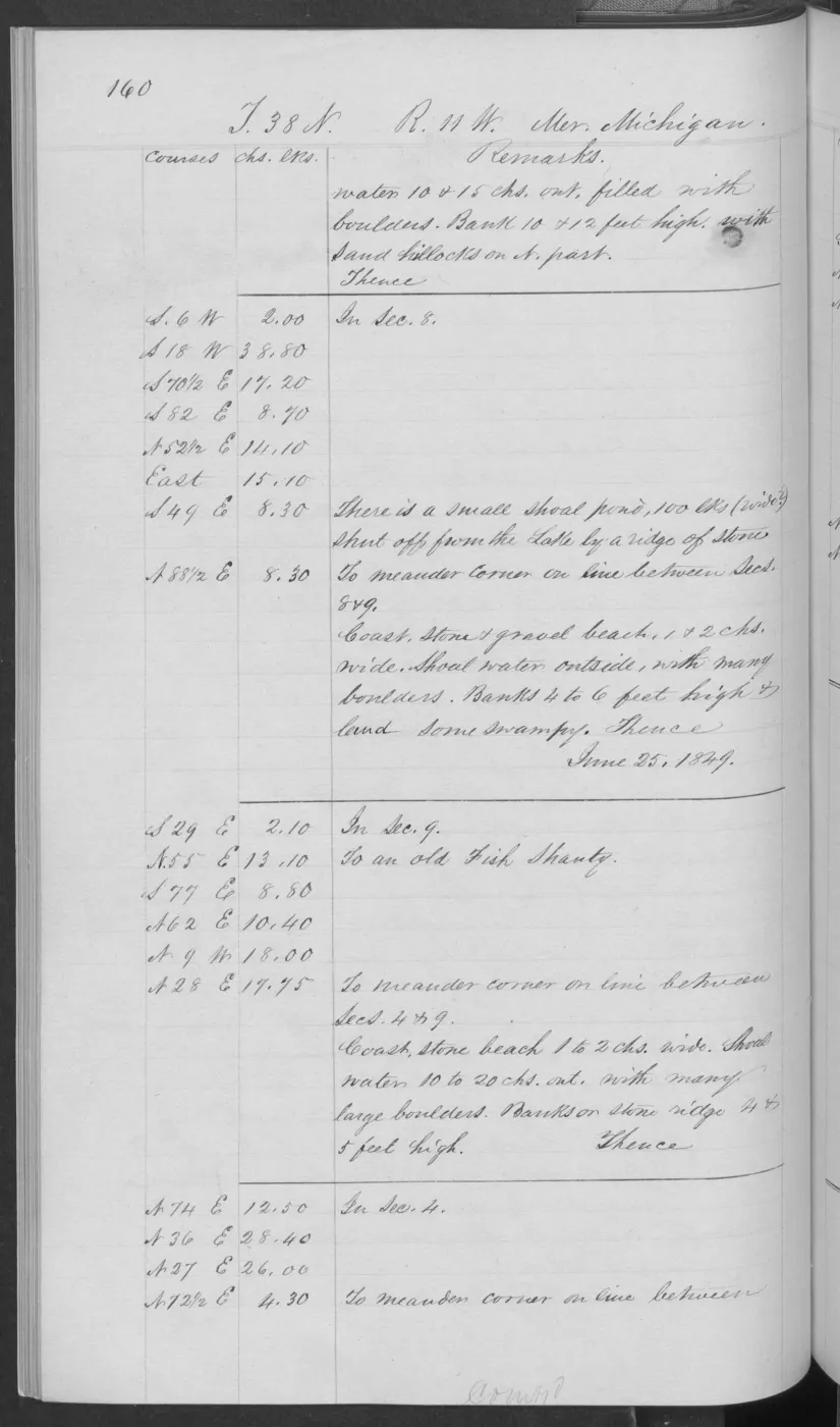
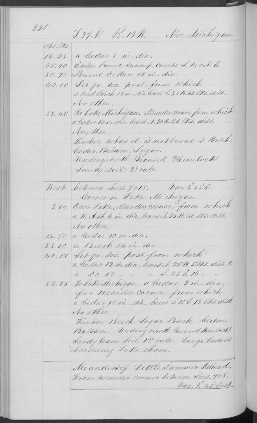
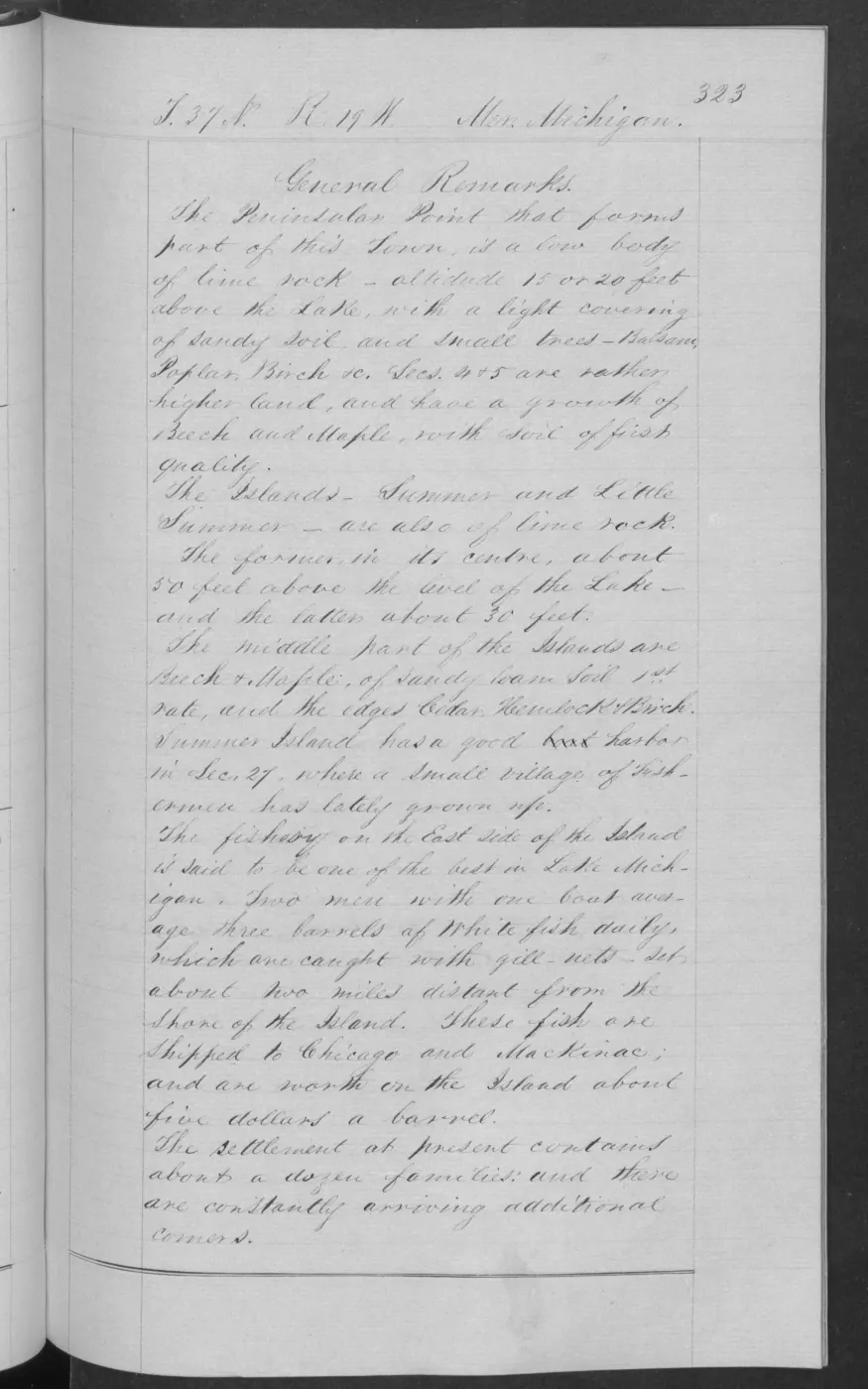
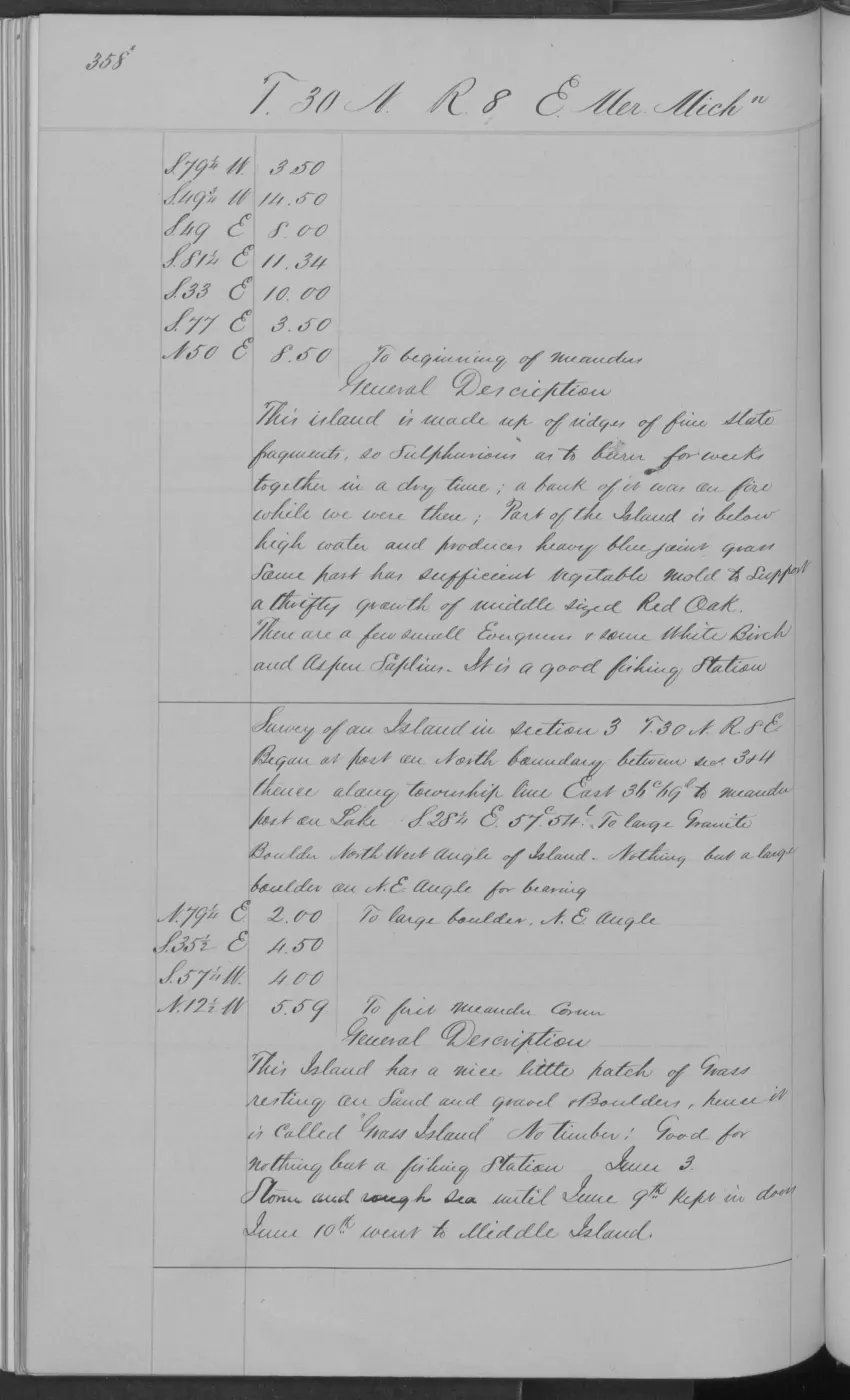
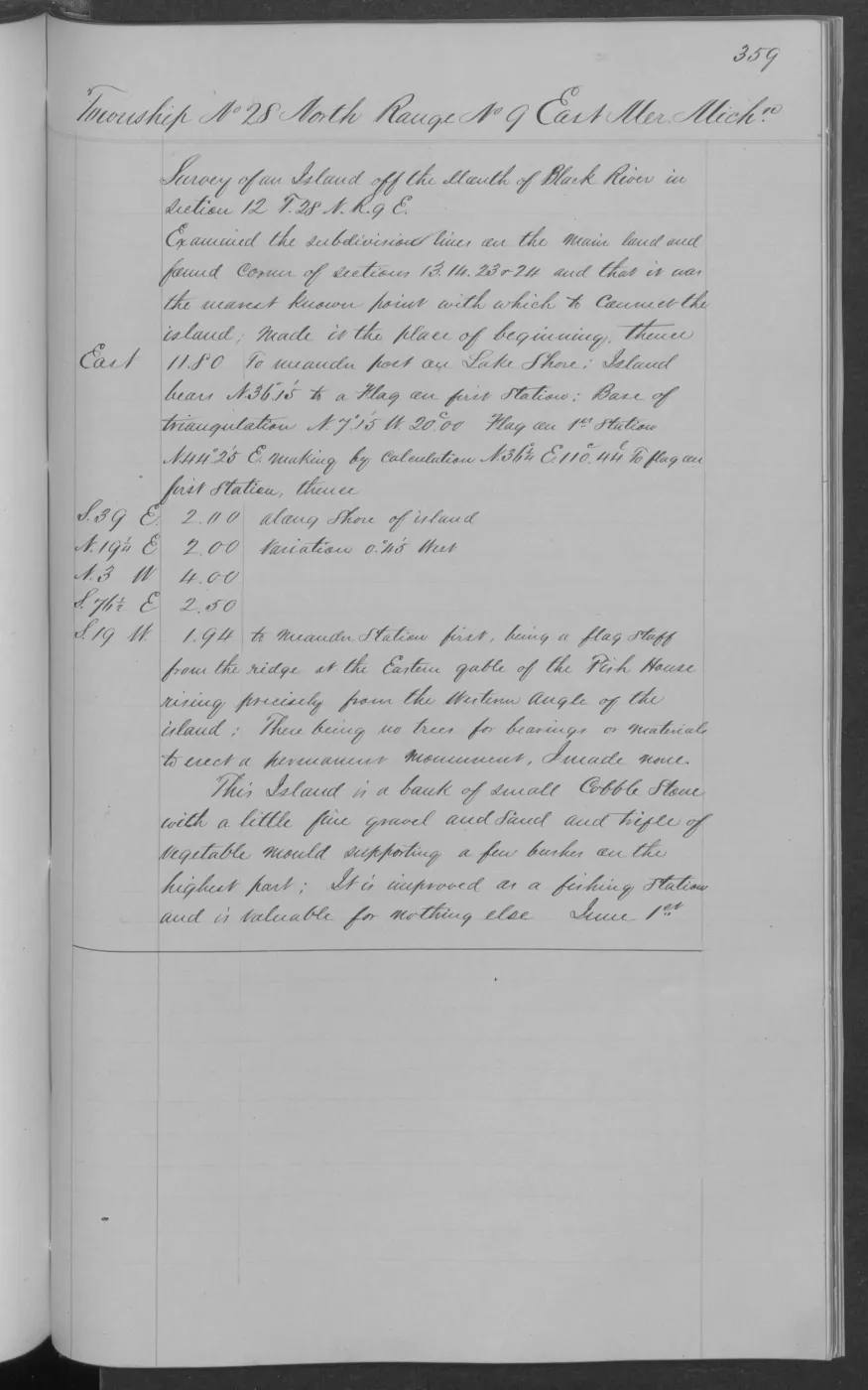
The remaining visually checked 1849 pages show that the same lake-built shoreline process produced very different small-island conditions. Hat Island is nearly level and mostly gravel and small stone, with brushy cedar 10–30 feet high and partial burning; page 0005 also records a nearby low stone islet covered with gulls, the source-bounded connection later cited by the 1942 Shoe survey. High Island’s southern portion is higher and gently rolling, but still has sandy, stony, gravelly third-rate soil whose strength the surveyor attributes largely to surface vegetable matter; its short forest is cedar, fir, aspen, birch, spruce, tamarack, and a few sugar and white-pine trees. Pages 0160 and 0170 add old fish shanties to the Little Beaver/High Island sequence, with the latter also recording sandy-loam ground and sugar, cedar, fir, and white birch.
The pages using the historical source name “Squaw Island” are represented under the linked current place name Ojibwa Island. They record a thin sandy/stony soil, limestone-like beach stone, shallow water, fishing shanties, and a severe burn in which most timber was killed and fell; the surviving principal trees were aspen, fir, cedar, and white birch. The crosswalk preserves the source name only as provenance and does not convert it into a current identity claim.
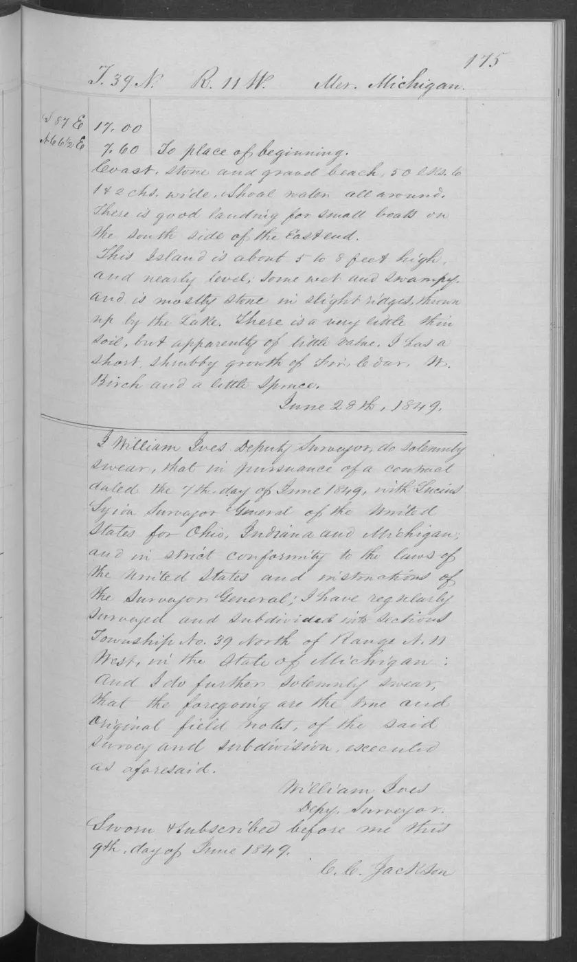
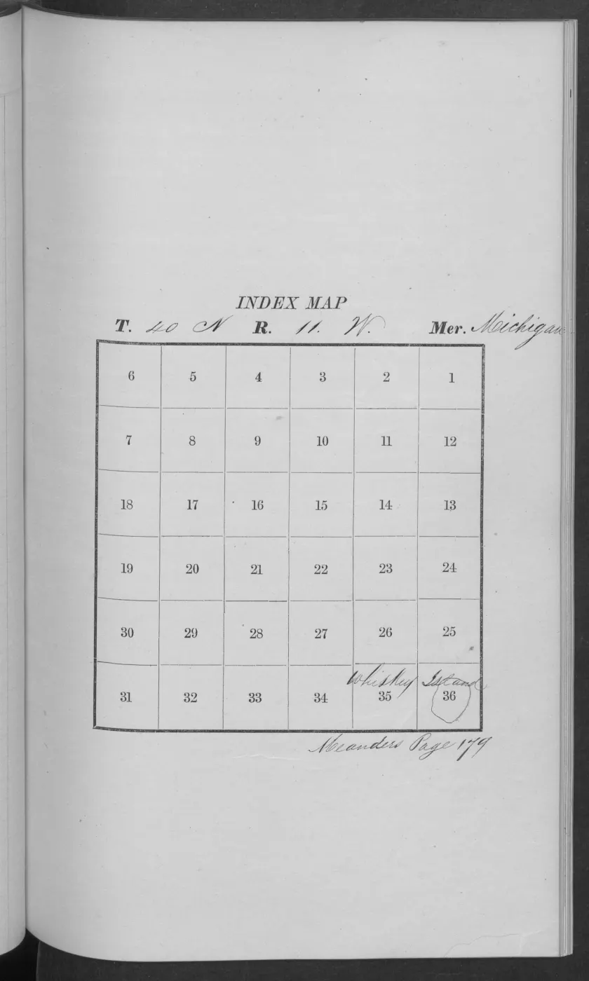
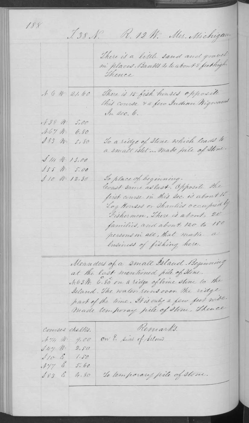
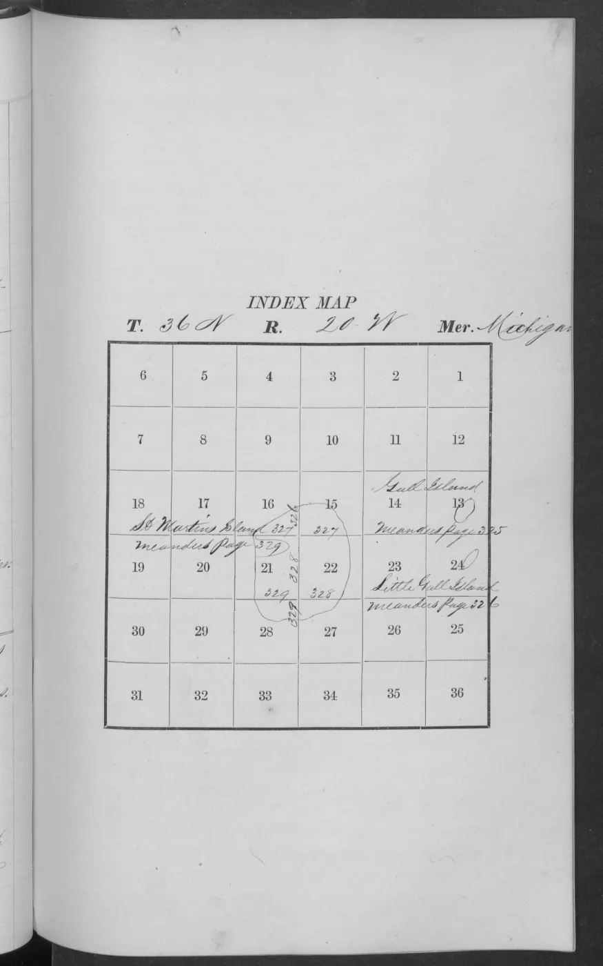
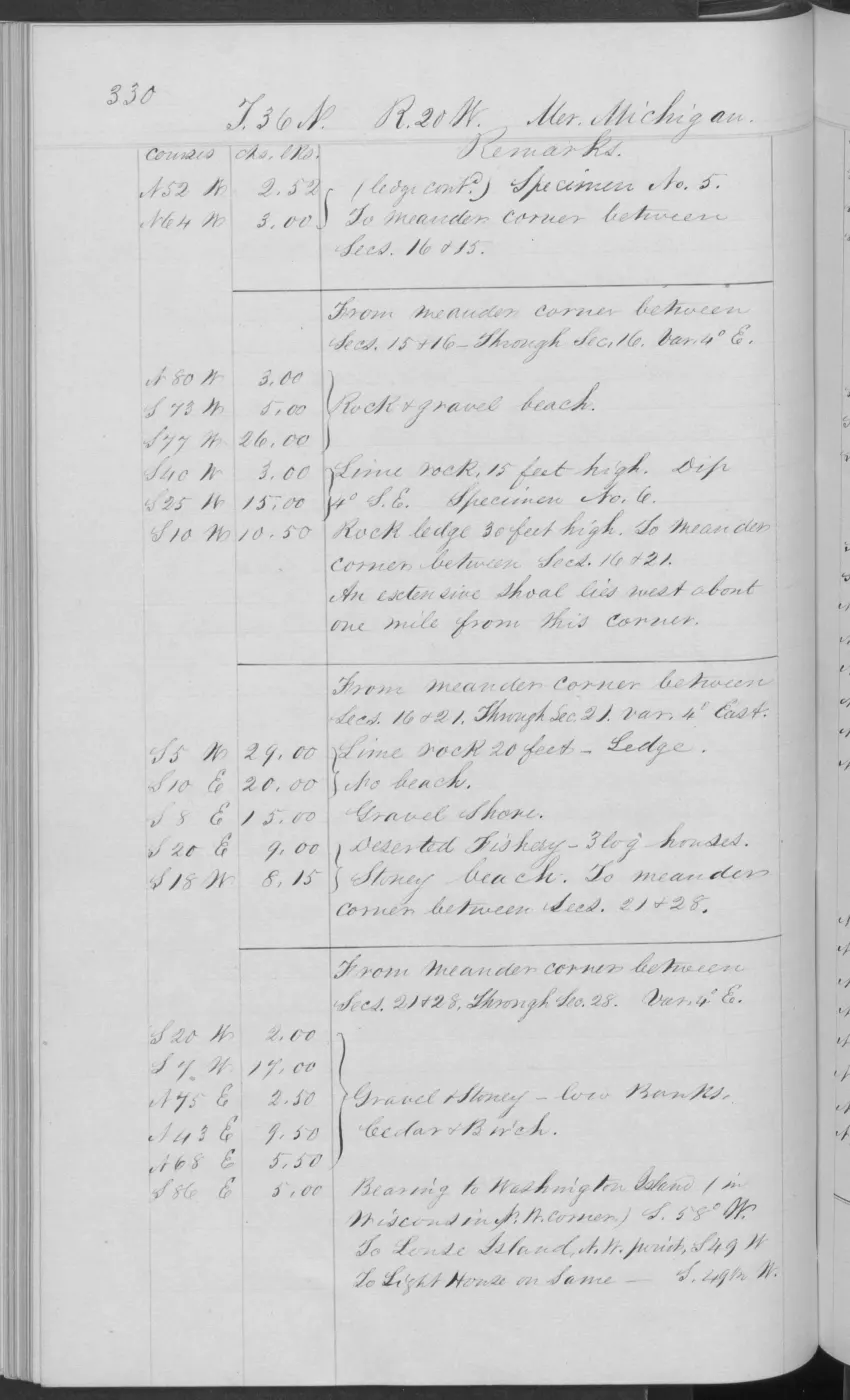
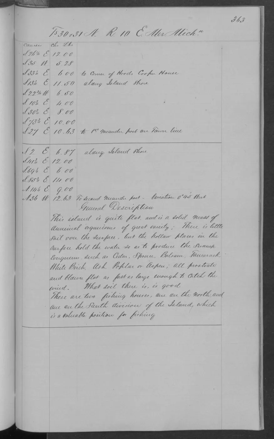
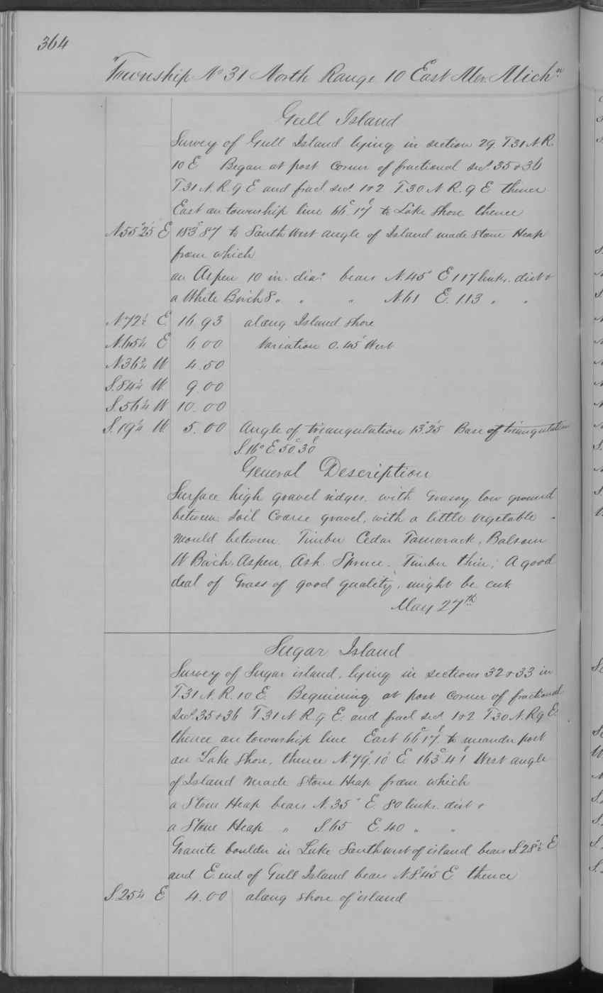
The Trout Island sequence combines drifted-sand hills and a higher timbered hill with third-rate sandy/stony/gravelly ground, a better second-rate section rich in vegetable matter, large sugar timber, and a low separate island portion with thin soil, wet/swampy patches, stone ridges, and short fir/cedar/birch/spruce growth. The adjacent p. 0174 meander page adds vacant fish shanties and wigwam frames on the northeast side, tied to named survey sections; it is a bounded cultural-ecology observation, not a current occupation claim. Whiskey Island is lower and more uniformly stone-ridged, with very thin stony soil, short cedar/fir/aspen/white-birch growth, and extensive burning, windthrow, and cutting. Gull Island adds a small grass-and-gooseberry depression, sandy soil over shallow stone, short sugar–cedar–fir–birch growth, and an explicit whitefish-fishery value. The newly checked Gull pages 0186–0188 add a fisherman’s village in the associated location sequence, a log shanty occupied by fishermen, 15 fish houses, a few wigwams, and a surveyor-estimated 20 families and 120–150 people engaged in fishing. These are local descriptions, but they connect soils, vegetation, disturbance, shore form, and human use in one dated record; the population figures remain page-bounded estimates rather than a census.
Crosswalk connections
The GLO observations are an early, local complement to the project’s other ecology layers:
- the USDA 1974 soil survey and SSURGO provide modern soil-series and hydric-soil context;
- the circa-1800 reconstruction generalizes historical cover into mapped classes such as beech–sugar maple–hemlock forest and conifer swamp;
- MNFI natural-community records add modern site-level soils, trees, wetlands, disturbance, and wildlife observations, but do not cover every island;
- DNR stand inventory, annual NLCD, and tree-canopy layers provide current raster or public-forest context at their own scales; and
- GLO plats and PLSS geometry can support future spatial comparison, but the crosswalk deliberately does not infer ecological polygons from survey lines.
The resulting historical sequence is therefore survey observation → mapped regional reconstruction → modern site, stand, and raster context, rather than a false single-layer continuity. The generated JSON is the machine-readable record; the page images and sidecars are the claim-level evidence.
The companion PLSS context layer supplies the cartographic join for all 57 records: exact township/range geometry is attached at record level, while section numbers remain unassigned unless the source page explicitly resolves them.
Thirty-one records also explicitly name sections. Those claims are kept in the companion section context layer, which joins 23 to held PLSS geometry and joins 30 to held PLSS geometry, leaves Hat §28 unresolved in the available AOI slice, and provides 25 unique exact-section map polygons.
Limits and next research
The crosswalk is intentionally a verified sample, not a full transcription of all 218 island-linked discovery pages. The next high-value expansion is a page-by-page visual pass over the remaining Big Beaver and Garden/Hog field-note segments and additional explicitly named legal sections, followed by cautious joins to the collected soil and land-cover layers. The first 31 explicit section claims are now captured separately; future joins should preserve the same page-level evidence and missing-geometry statuses. Any map should show observation pages or exact legal-section context, not imply that a 19th-century description traces a present forest boundary.
See also
- BLM GLO field-note volumes linked to Beaver Island-area surveys
- General Land Office survey plats for the Beaver Island archipelago
- GLO ecology observations joined to PLSS context, 1845–1942
- Explicit GLO section references joined to PLSS context, 1847–1849
- Forest types and tree history
- Geology and landforms
- Wetlands, inland waters, and hydrology
- MNFI soil, vegetation, tree, and wildlife crosswalk, 2017
- Annual NLCD land cover across the seven-island archipelago, 2021 and 2025
Read the document
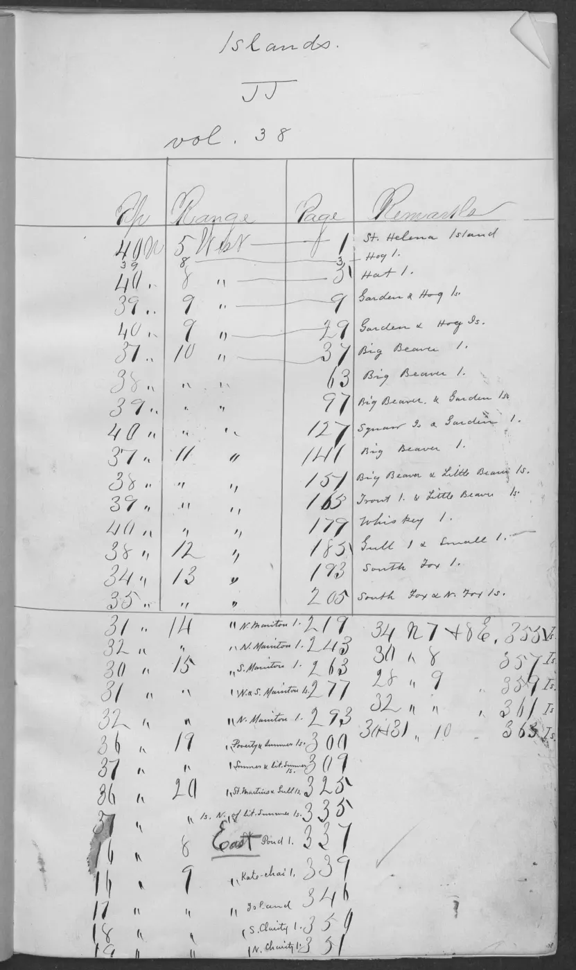
406 pages, rendered from the held scan.
Jump to a page — 406 in all
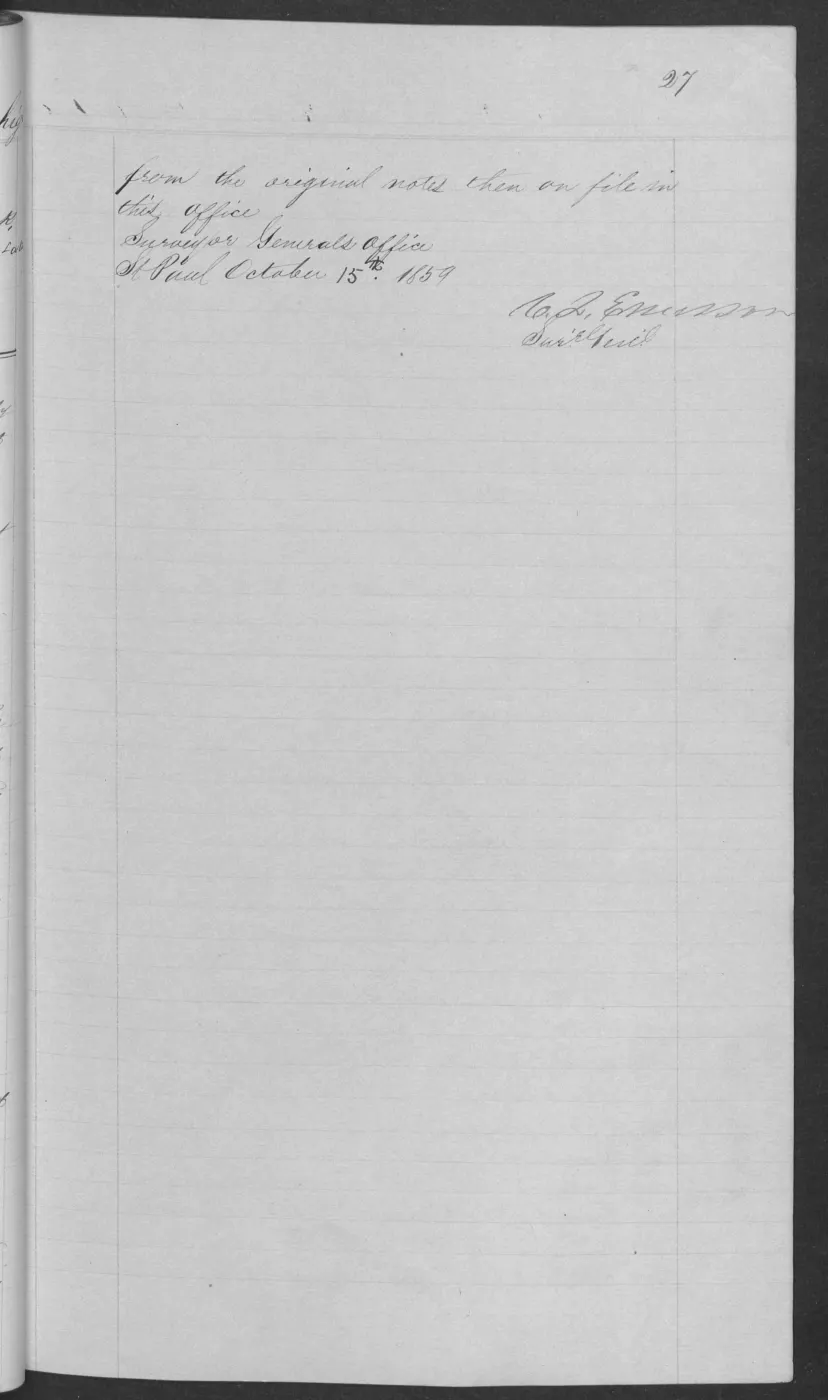
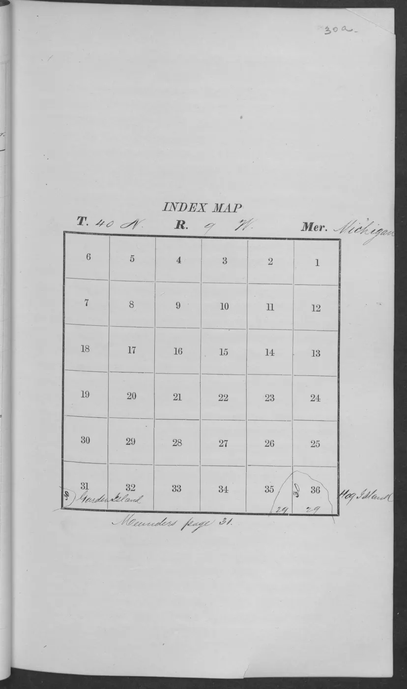
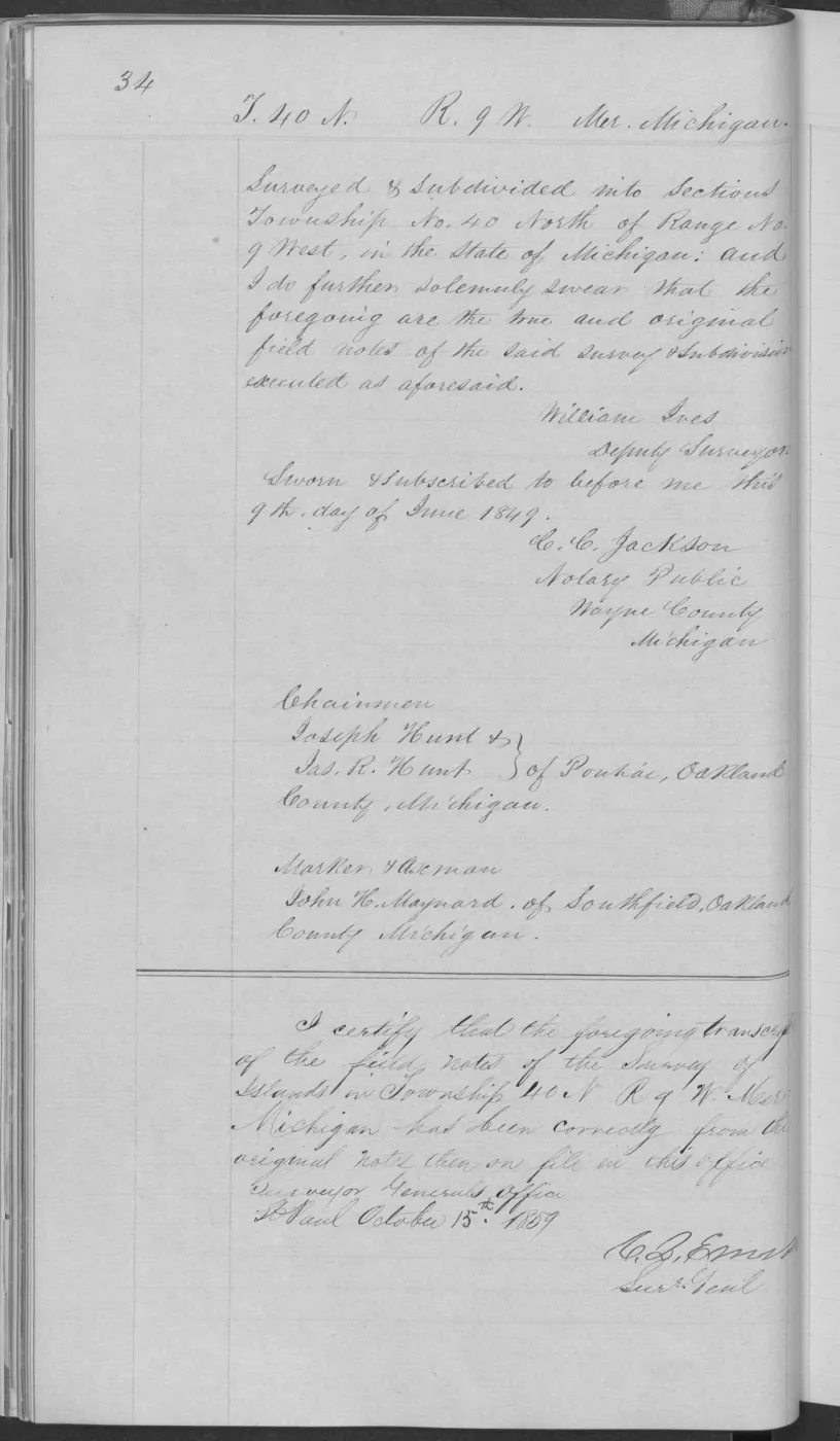
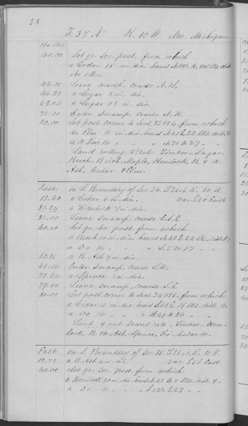

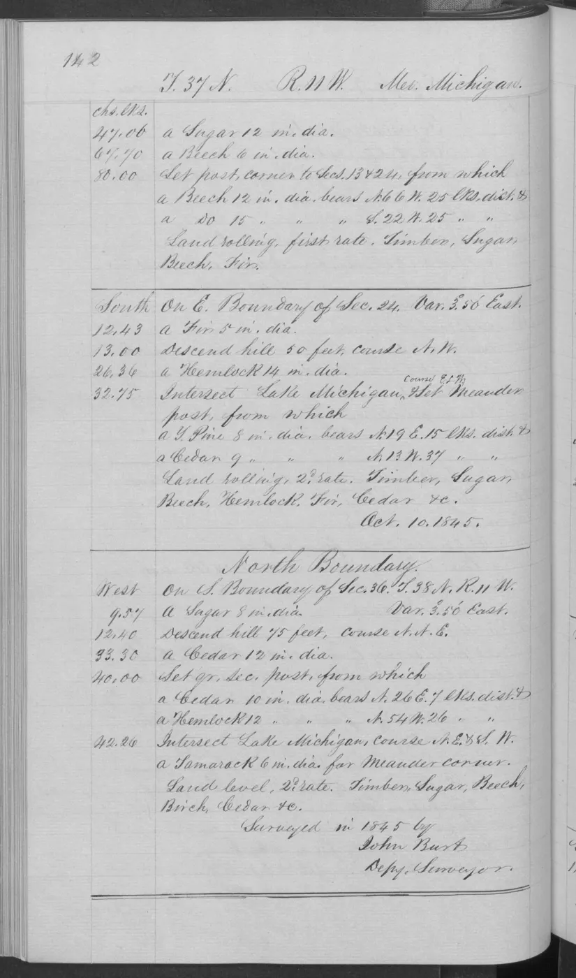
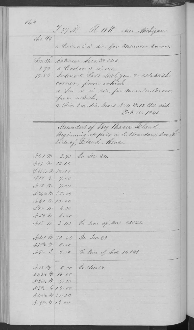

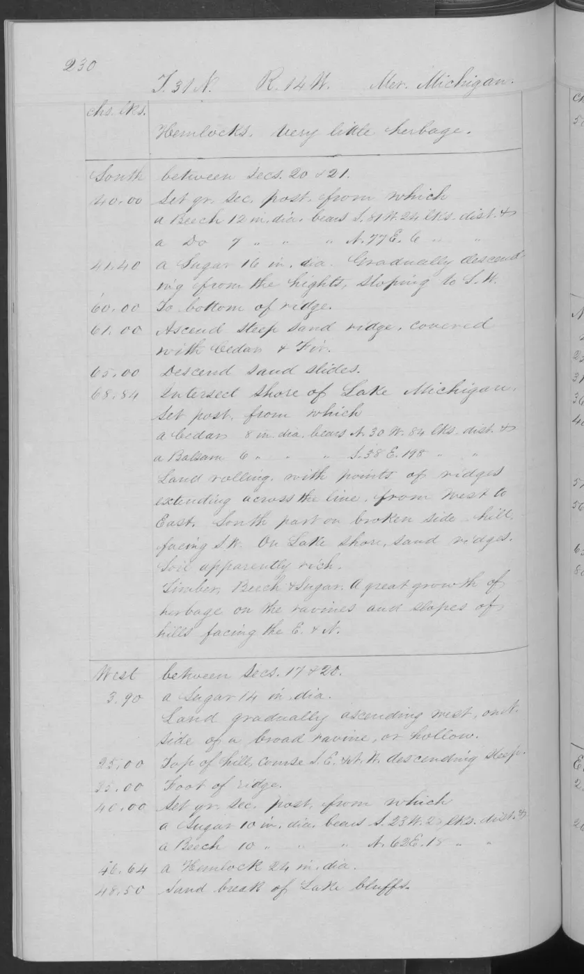
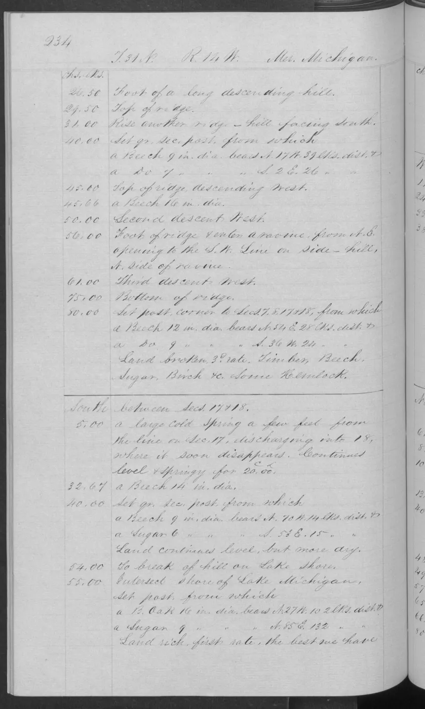
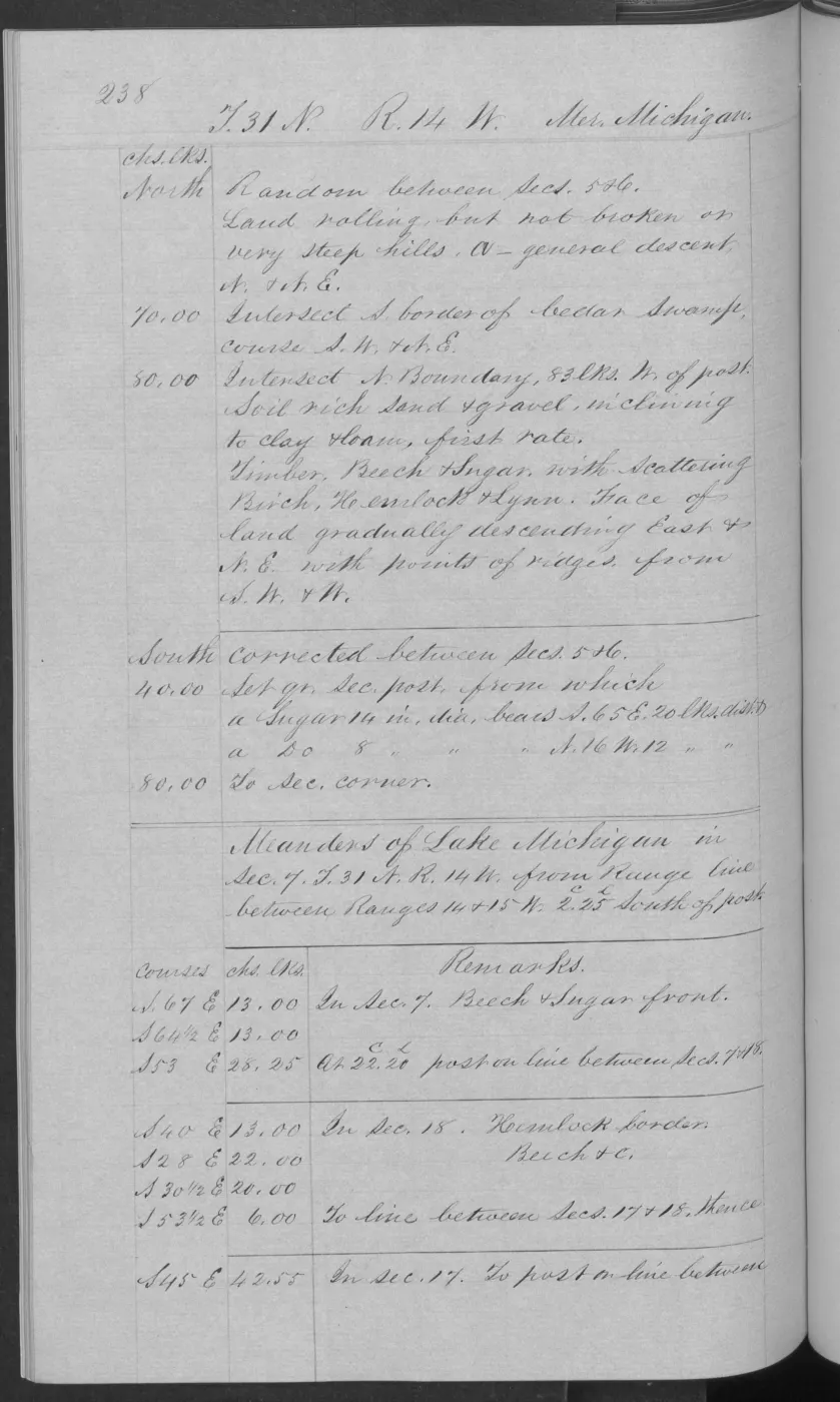
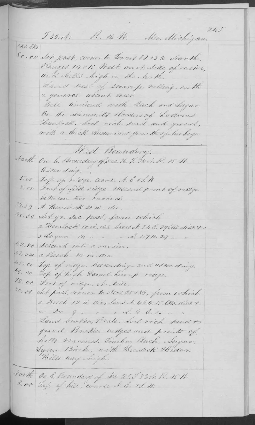
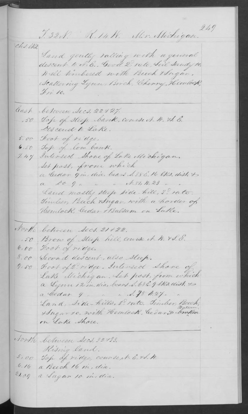
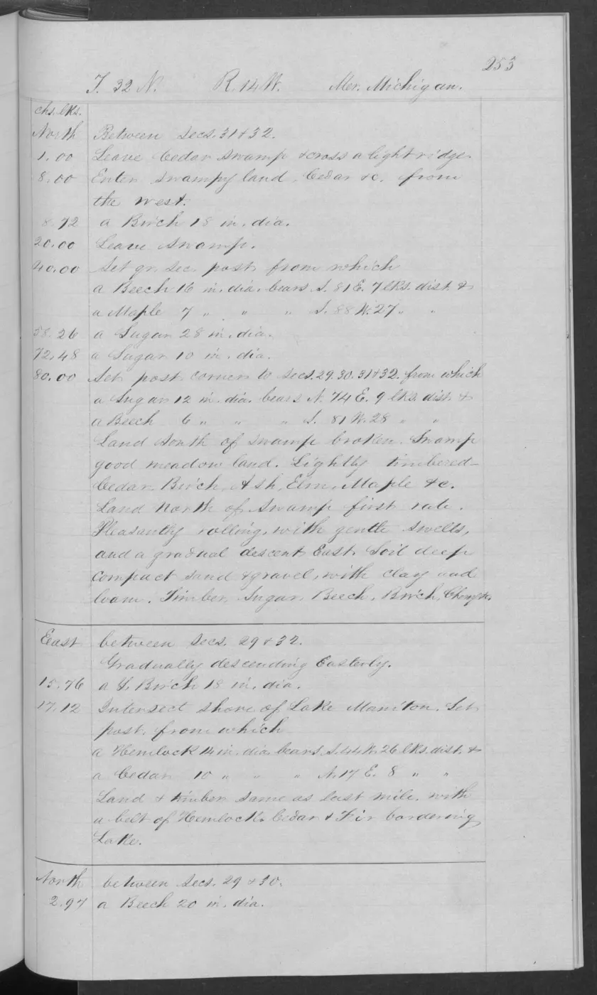
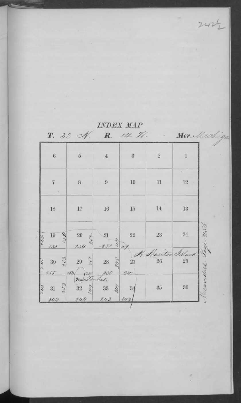
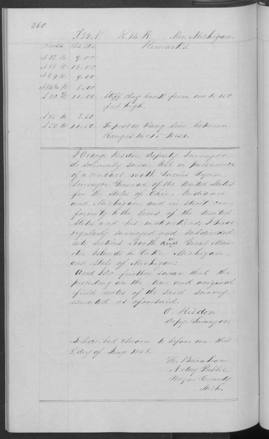
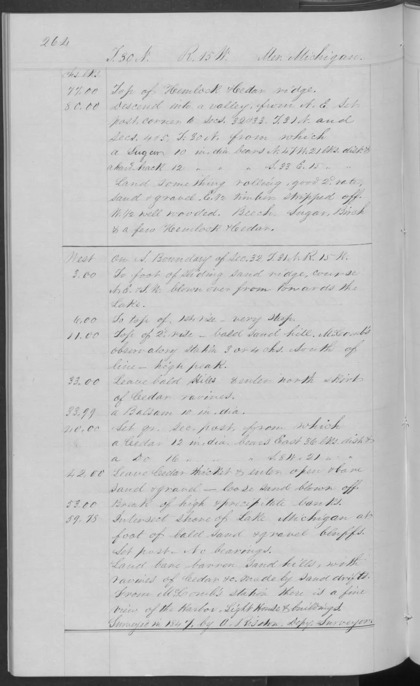
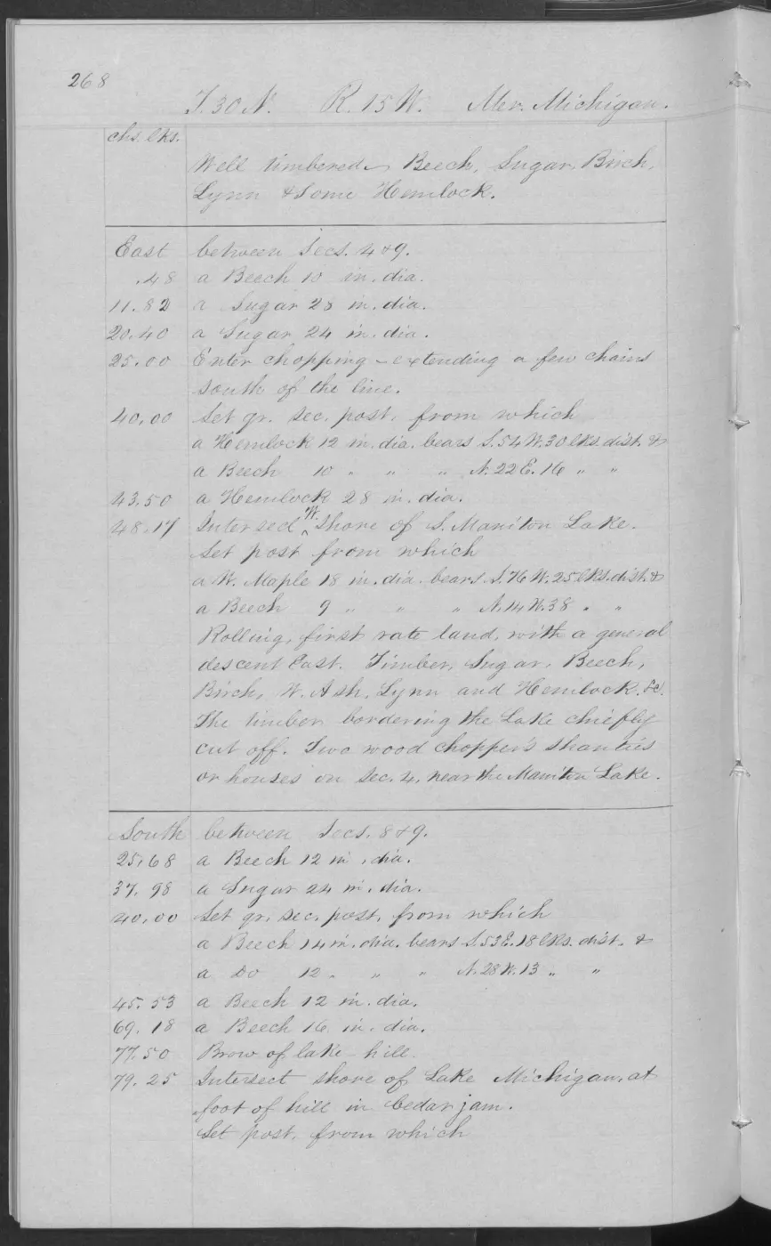
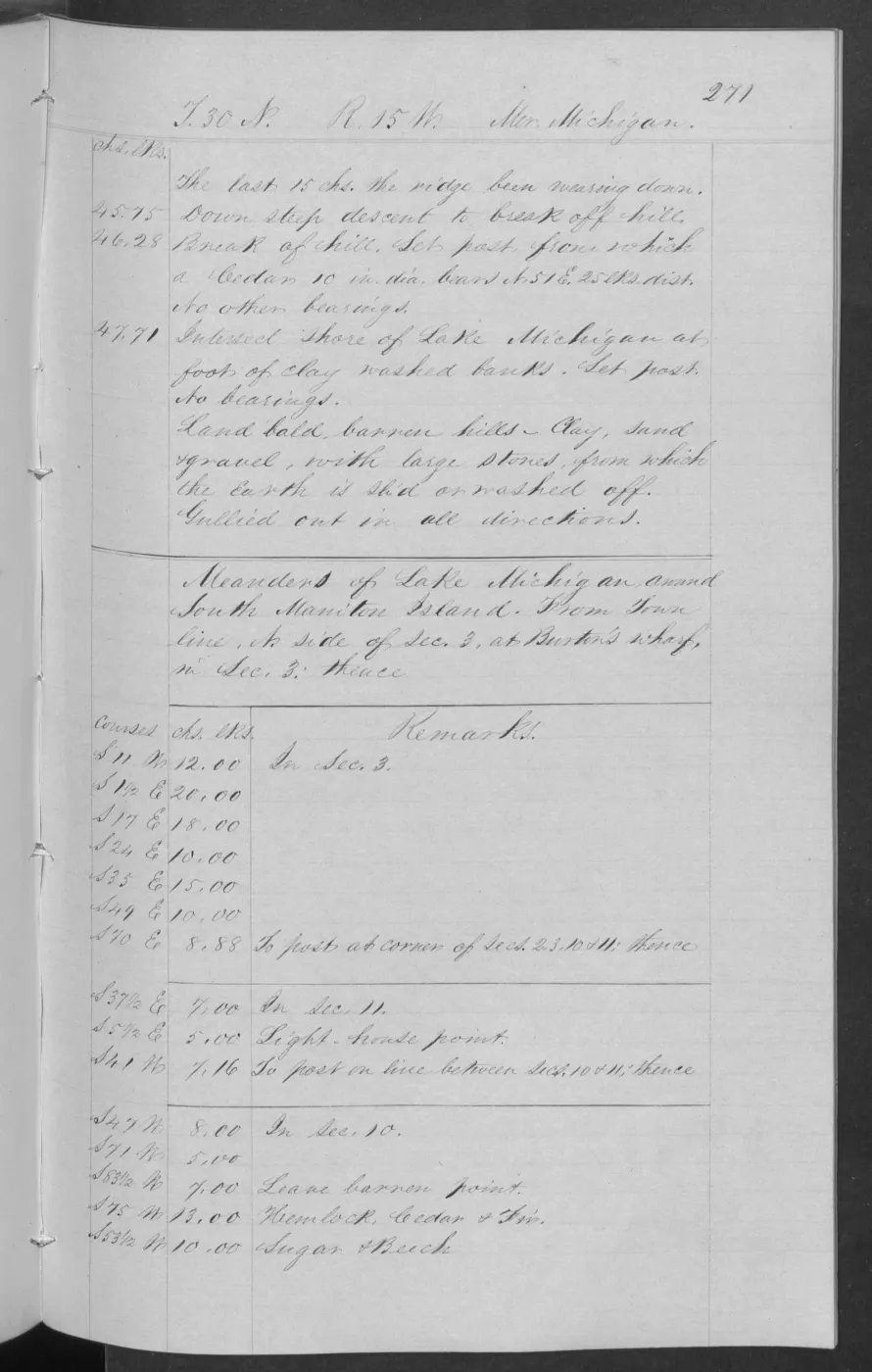
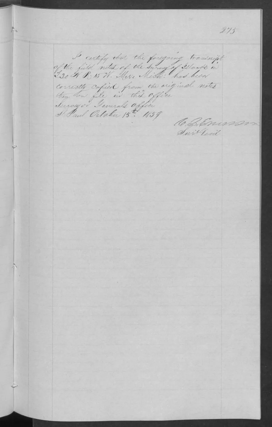
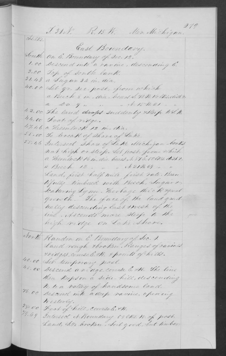
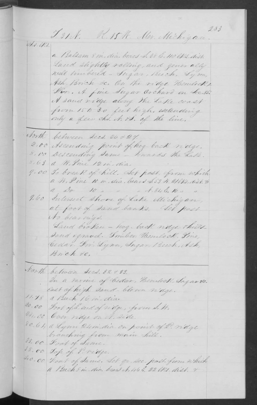
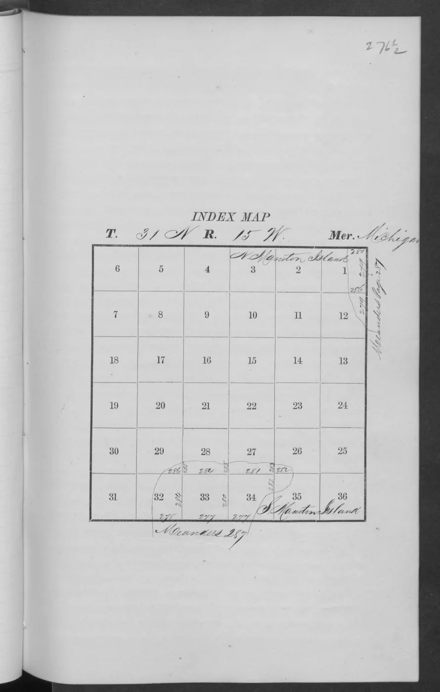
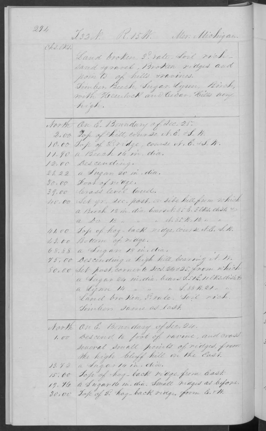
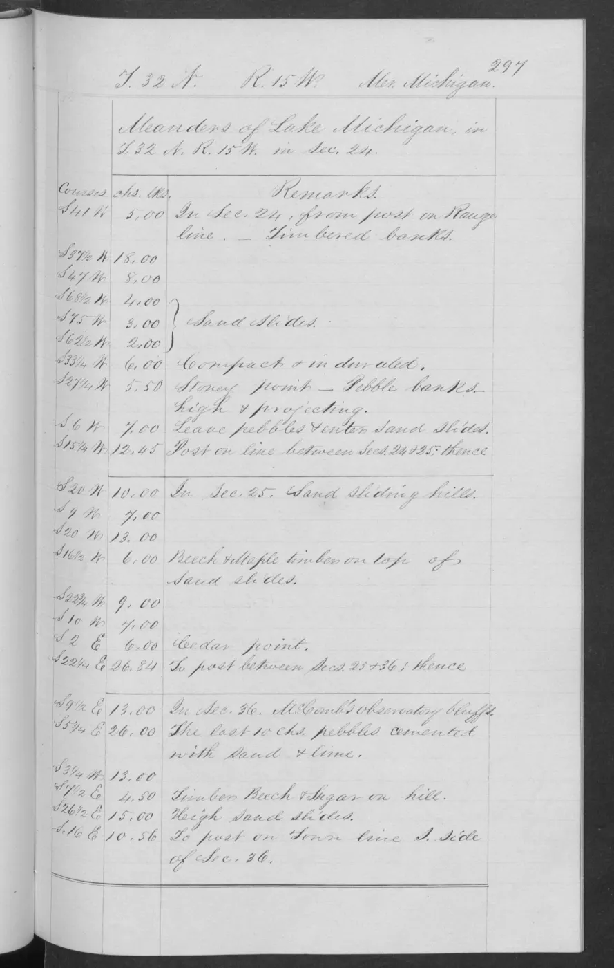
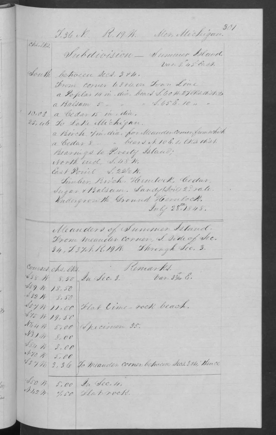
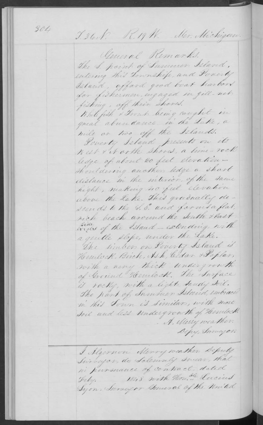
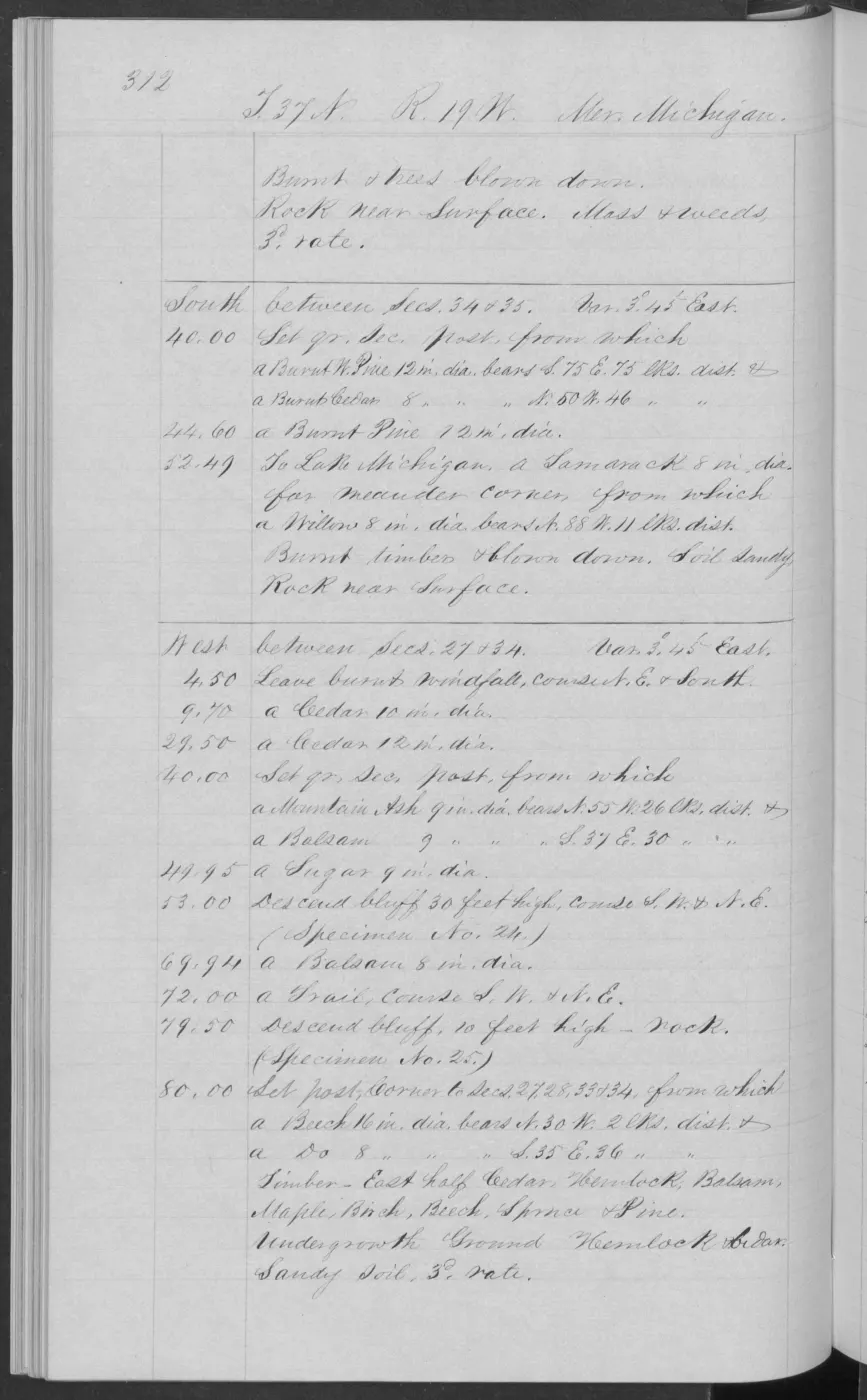
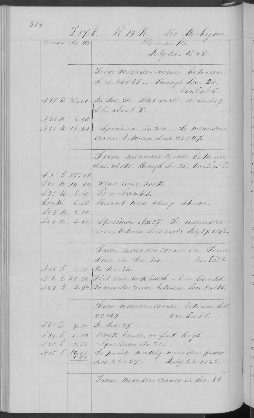

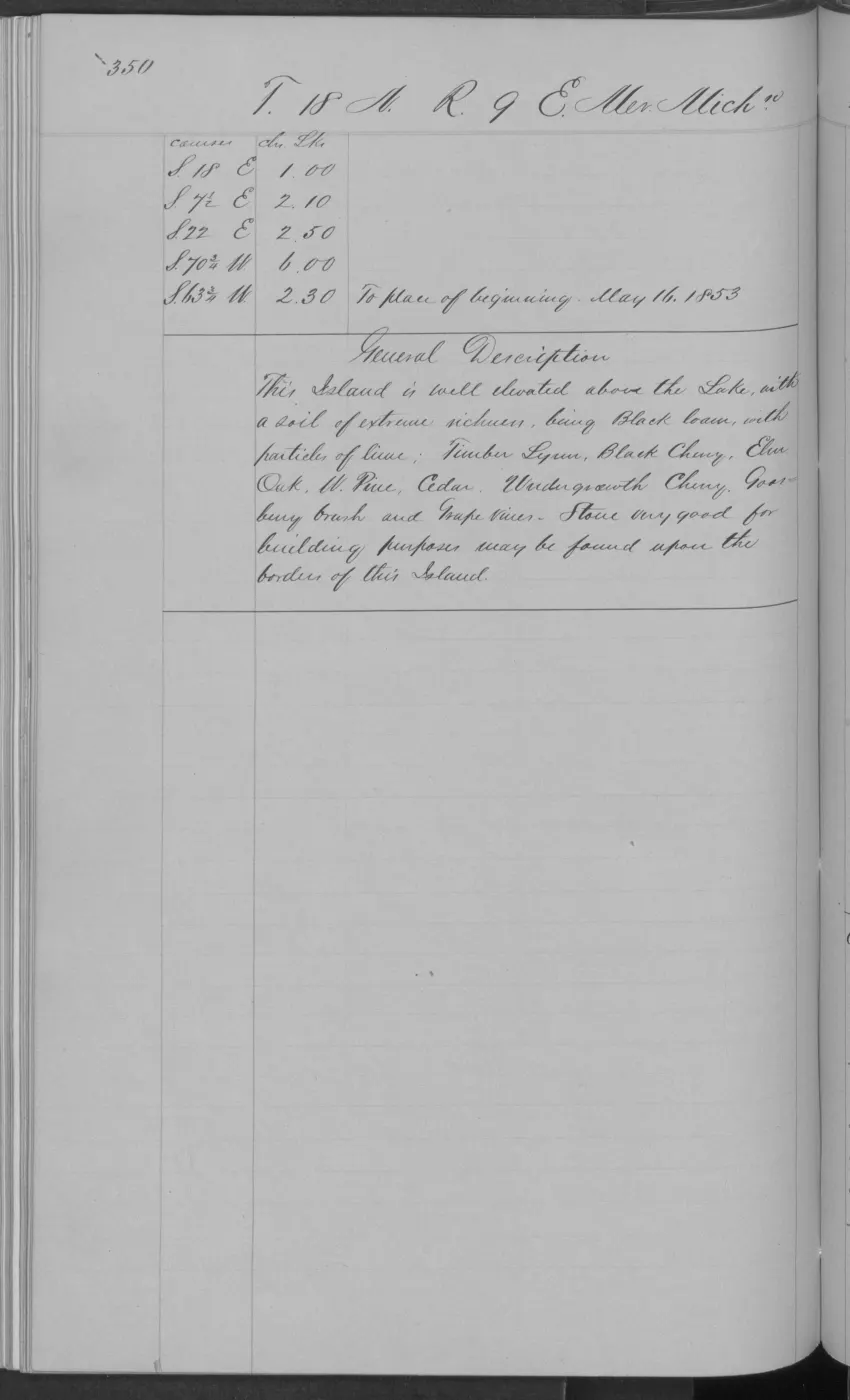
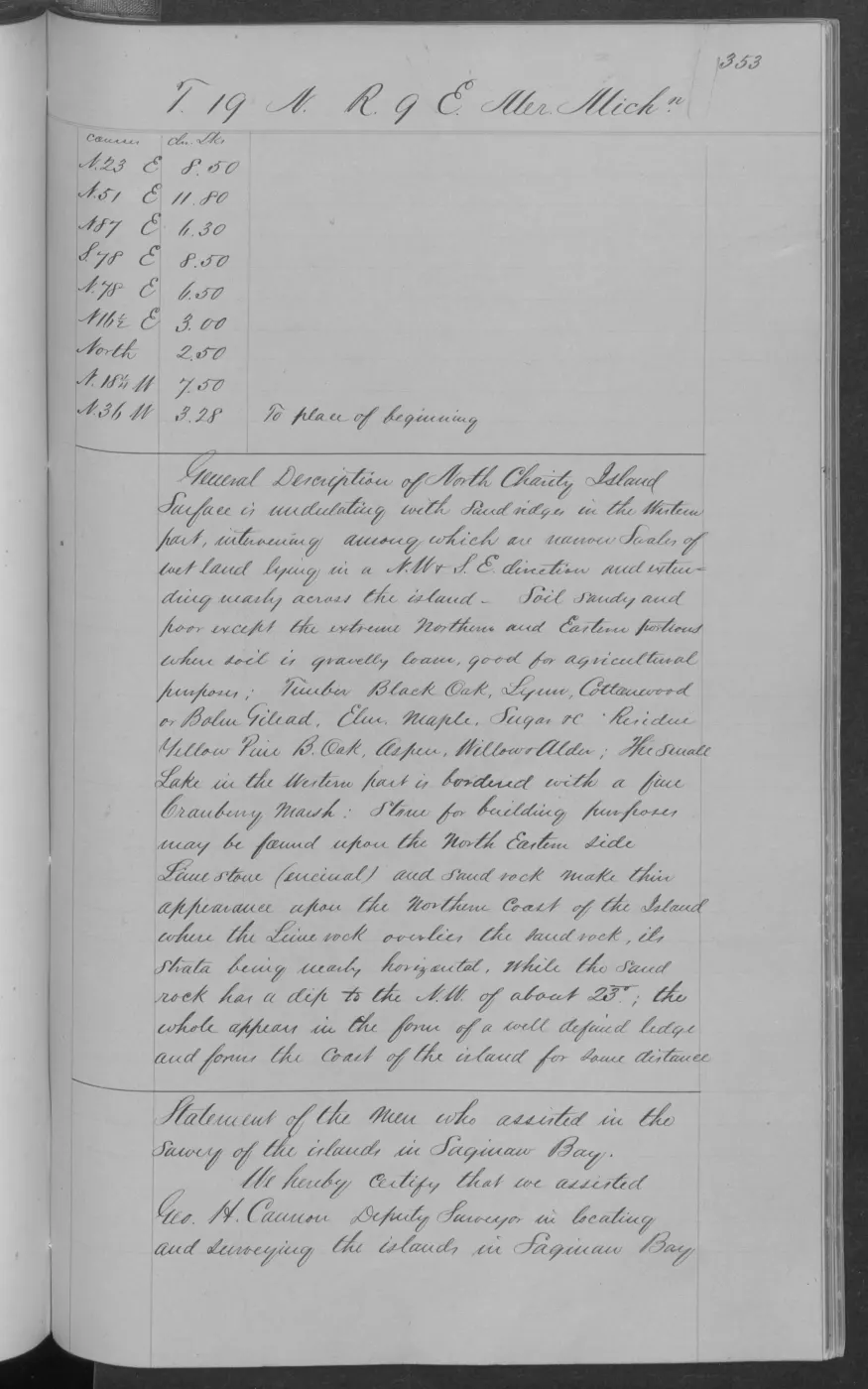
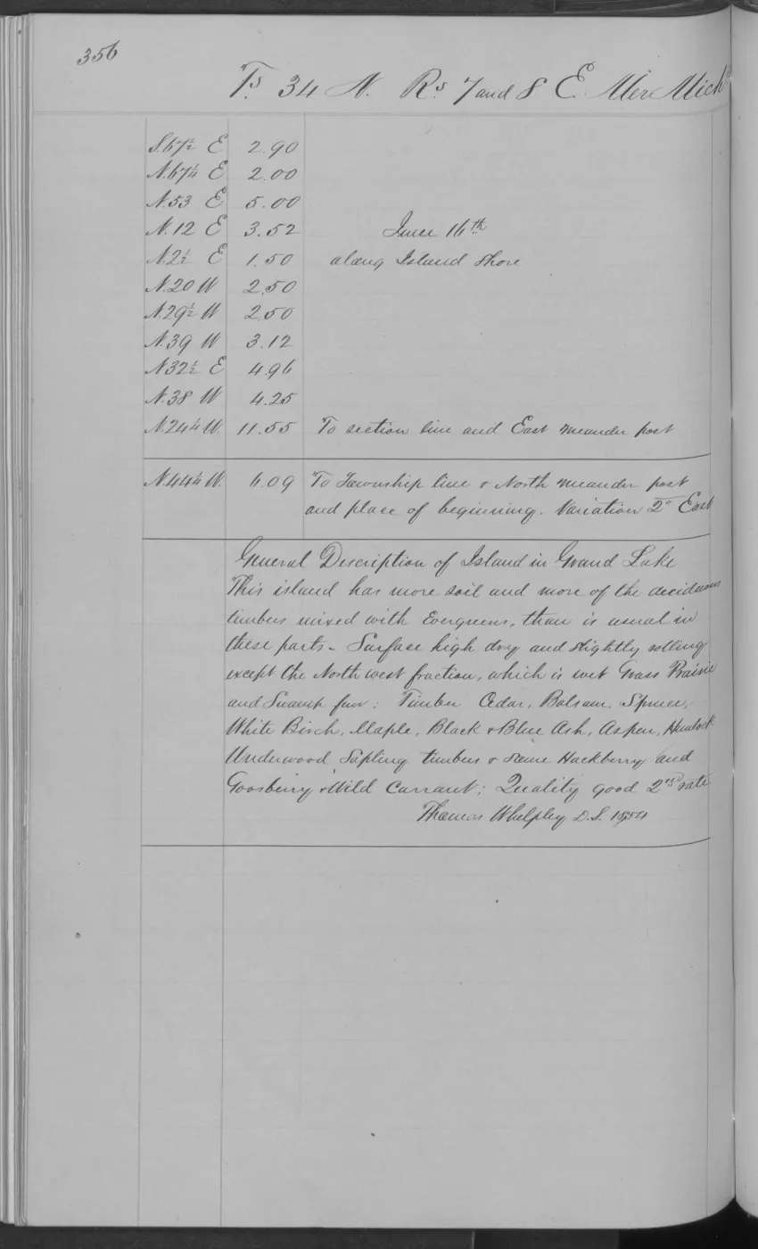
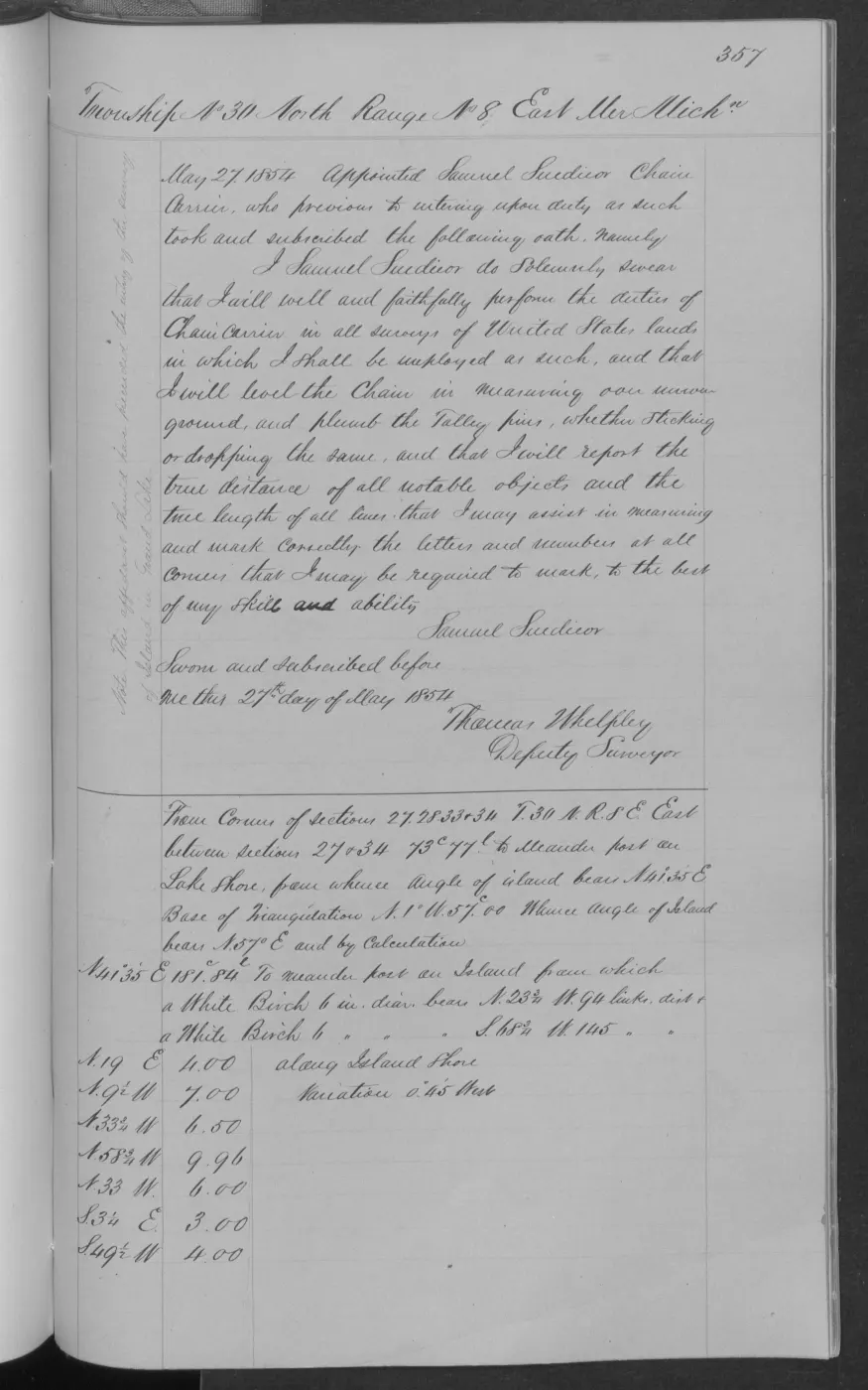
138 of 406 pages linked here — every page to 32, then every 4th, then the last 16. With JavaScript, every page.
Sources
- Project-generated tree and woody vegetation evidence index (2026).Aggregates the crosswalk’s page-bounded tree names without treating historical common names as a complete species inventory or inferring habitat polygons. No public copy of this file is known; the archive holds one and can provide it on request.research · island_farming · indices · tree_woody_vegetation_evidence_index
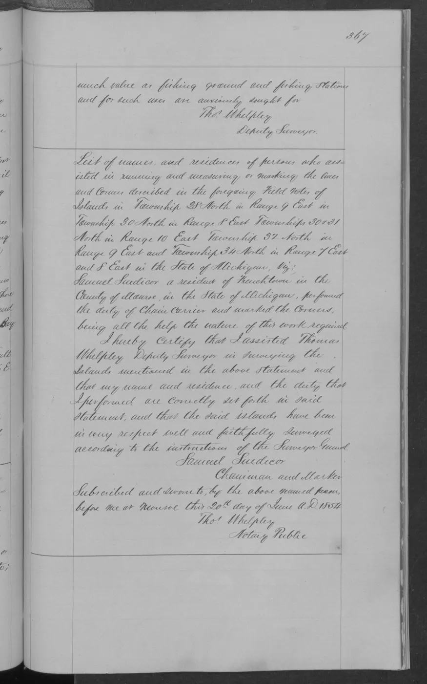
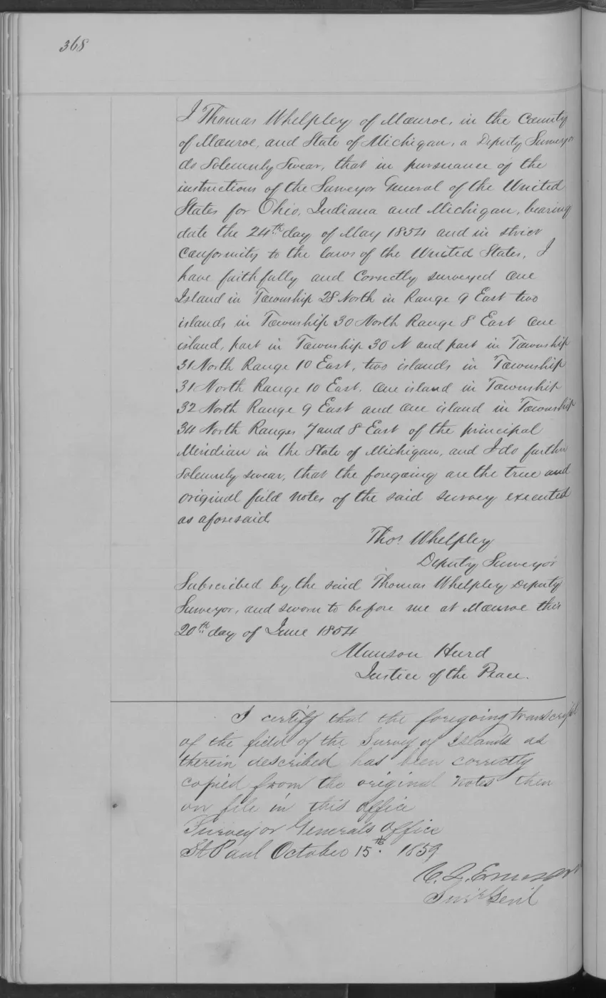
- The held public-domain volume is the page-image source. The project crosswalk reads only retained page images with explicit page, township/range, and image provenance; BLM provider OCR remains discovery text. The holder's public portal is searchable but does not link this record directly; the archive holds a copy of the file and can provide it on request.federal · glo_field_notes · pdfs · 3879958517549955184-field-note-volume-168138
- Preserves source readings, reported tree names, conservative historical-common-name normalizations, page identifiers, evidence-image checksums, and the no-inferred-geometry policy. The holder's public portal is searchable but does not link this record directly; the archive holds a copy of the file and can provide it on request.research · land_cover · crosswalks · glo_ecology_crosswalk_1845_1849
- Project-generated page-level discovery index for the held GLO field-note volumes.Provides the reproducible volume/page/page-ID join. Its OCR is not used as a substitute for visual transcription. No public copy of this file is known; the archive holds one and can provide it on request.federal · glo_field_notes · island_page_index
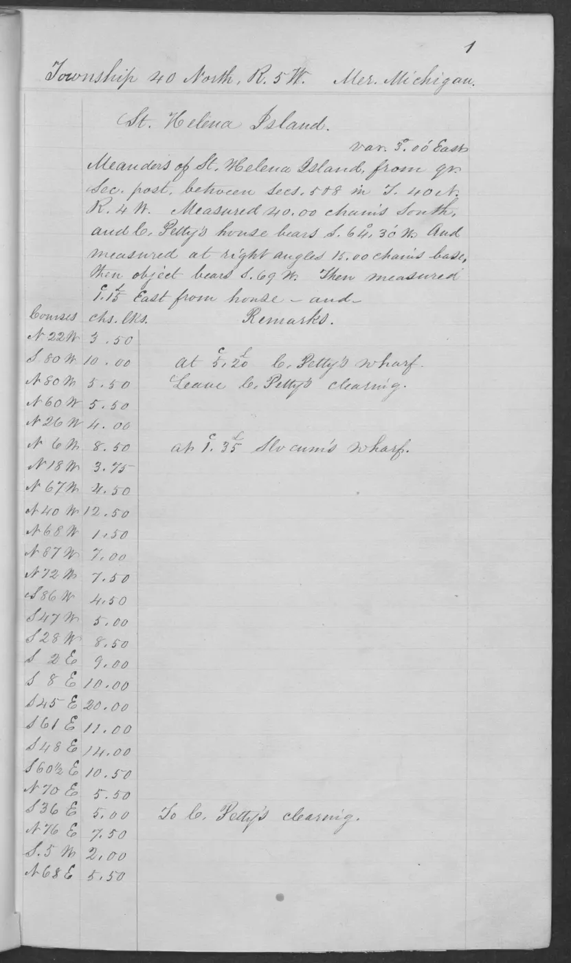
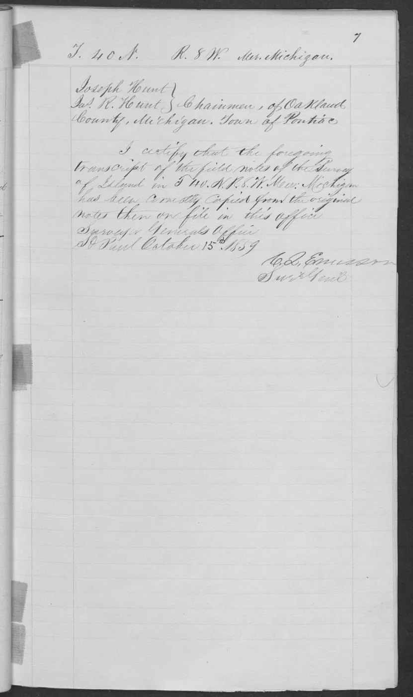
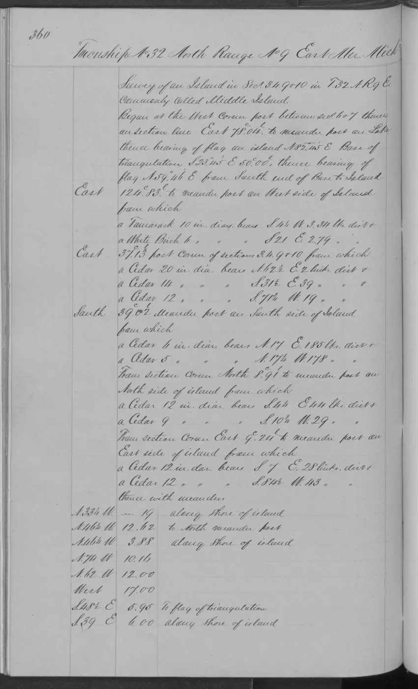
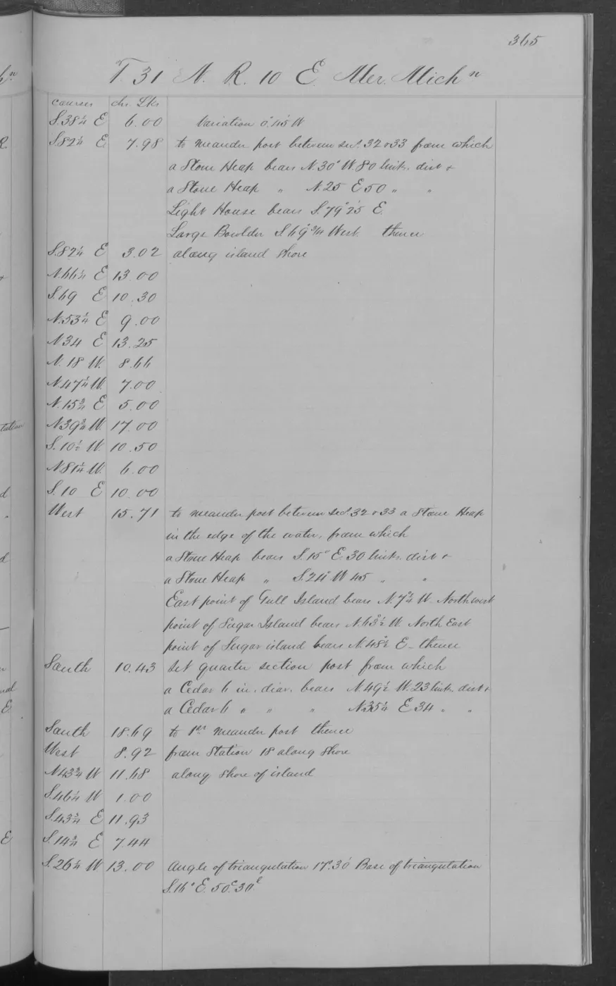
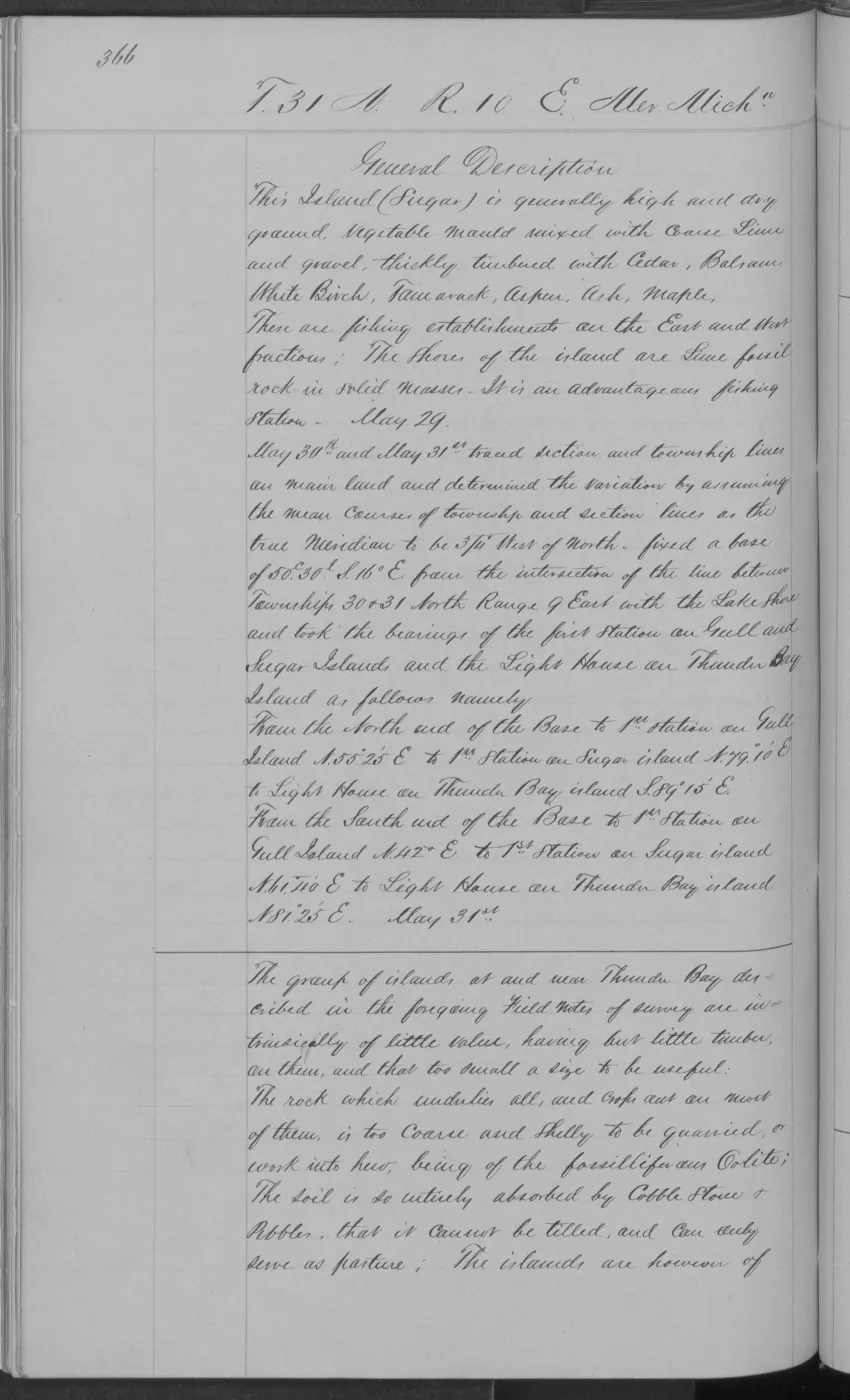
- Project-generated visually verified page evidence and provenance sidecars.Page images cover Hat 0005–0006; combined Garden/Hog 0025; Hog 0019, 0026, and 0032–0033; Garden 0012, 0106, 0123–0124, and 0133–0134; Big Beaver volume pages 0037–0039, 0041, 0045–0047, 0051, 0053–0055, 0063, 0065, 0070, 0074, 0075, 0077, and 0101; Ojibwa 0135–0137; High 0160–0161 and 0170; Trout 0173–0175; Whiskey 0179–0180; Gull 0186–0189; North Fox 0212–0215; and South Fox 0193. No public copy of this file is known; the archive holds one and can provide it on request.federal · glo_field_notes · page_evidence
- Project-generated GLO ecology observations joined to BLM PLSS context, 1845–1942.Described in this archive: GLO ecology observations joined to PLSS context, 1845–1942.Provides exact township/range geometry references for the verified pages and candidate section context without assigning an unreported section or inferring an ecological polygon. No public copy of this file is known; the archive holds one and can provide it on request.research · land_cover · crosswalks · glo_ecology_plss_context_1845_1942
- Project-generated explicit GLO section references joined to BLM PLSS context, 1847–1849.Described in this archive: Explicit GLO section references joined to PLSS context, 1847–1849.Carries 31 explicit page-level section references: 30 exact held PLSS matches and one Hat §28 claim whose geometry is unavailable in the AOI-clipped section layer. No public copy of this file is known; the archive holds one and can provide it on request.research · land_cover · crosswalks · glo_explicit_section_context_1847_1849
Added 3 August 2026. Recent changes
Cite this article
Beaver Island Archive, “Visually verified GLO survey observations of archipelago soils, terrain, and trees, 1845–1849”, https://beaverislandarchive.org/documents/glo-ecology-crosswalk-1845-1849/, accessed [date], citing Project-generated tree and woody vegetation evidence index (2026). (and 6 further sources listed on the page).
Last revised 2026-08-03. Fill in [date] with the date you read it — this page is static and cannot know that.
BibTeX for “Visually verified GLO survey observations of archipelago soils, terrain, and trees, 1845–1849”RIS for “Visually verified GLO survey observations of archipelago soils, terrain, and trees, 1845–1849”