

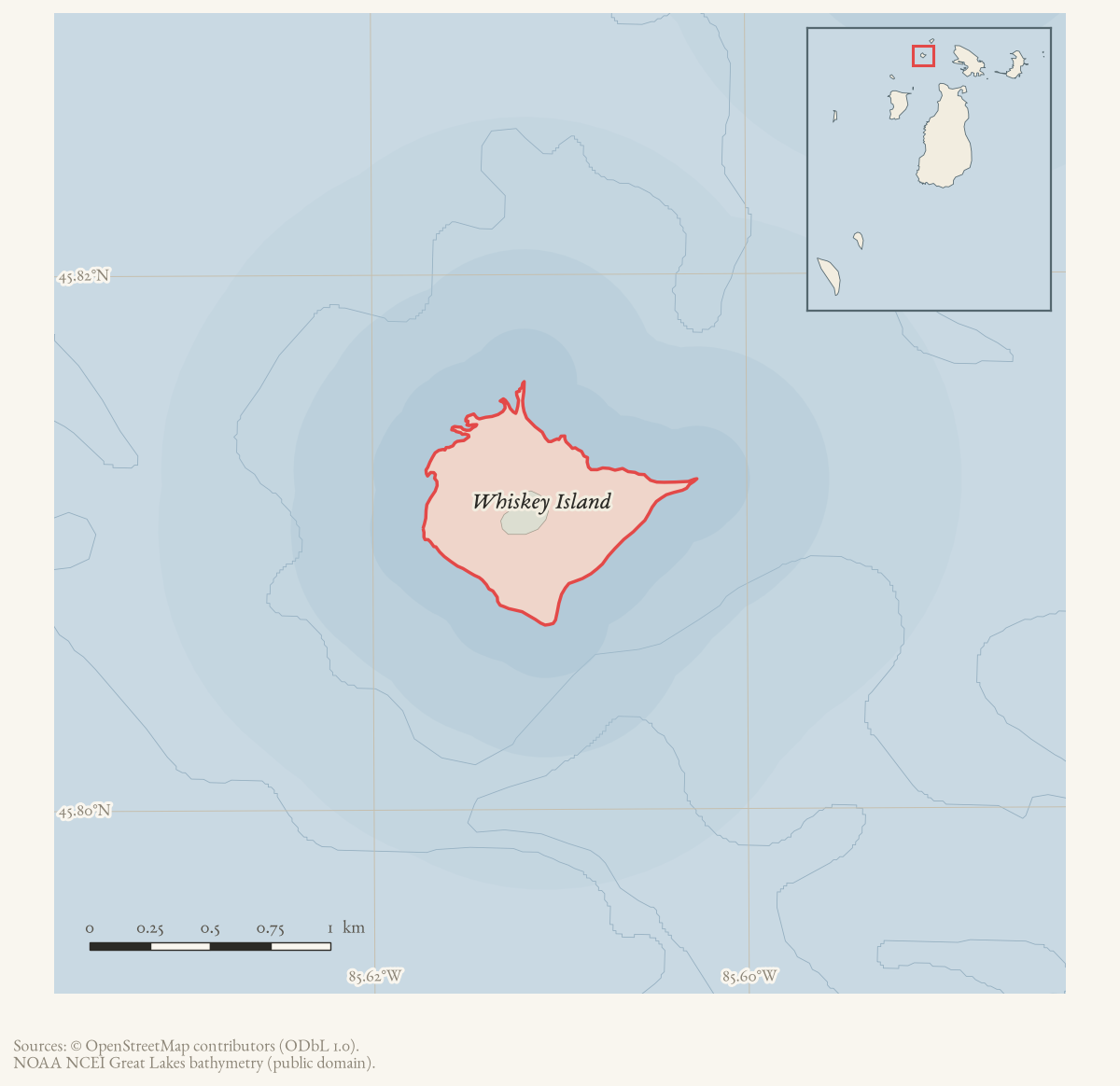
- Coordinates
- 45.8117° N, 85.6098° WGoogle Maps: Whiskey IslandDownload KML
- Concepts
- environmentforestsvegetationtreeswildlifebirdssoilsgeologywetlandsconservationshippingshipwrecksmaritime
- Within
- Beaver Island archipelago
- Media
- Plats of the outer Beaver Islands, 1930s · Soils, wetlands, and terrain of the Beaver Island archipelago · Whiskey Island access and infrastructure · Whiskey Island coasts, harbors, and navigation context · Whiskey Island geology and landforms · Whiskey Island soils, wetlands, and terrain + 2 more
Summary
Whiskey Island is a small island in the northern part of the Beaver Island archipelago, roughly a mile long and a quarter mile wide by one 1970 visitor’s estimate, identified today by OSM relation 6063930 and the GNIS feature identifier recorded above. An 1849 federal survey found fishing shanties and roughly twenty Indigenous and French fishing families on its shore. The schooner-barge Chandler Wells wrecked on its shoal in a November 1884 storm, and the island appears repeatedly afterward as a navigational hazard and, from the 1960s, as a snowmobile and hiking destination. Privately owned through most of the twentieth century, it passed to St. James Township for back taxes in 2010 and to the State of Michigan through a 2012 exchange.
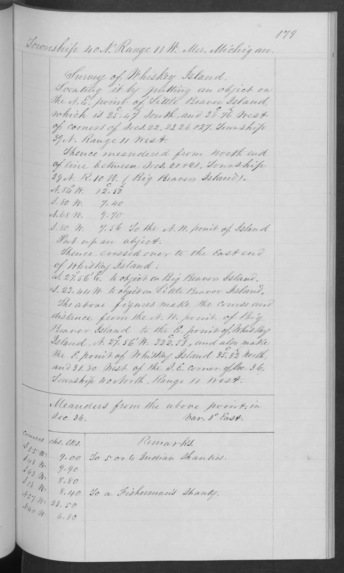
1849 survey
An 1849 GLO survey explicitly headed “Survey of Whiskey Island” records several fishing shanties and a fish house around its shore. Its general description calls the island low – about three to eight feet above Lake Michigan – and mostly stone in small ridges, with a thin vegetative soil and short cedar, fir, aspen, and white birch growth. It notes several small-boat landings on the south side of the east end, and reports that part of the growth had been burned, blown down, and cut.
The surveyor’s most consequential note for the island’s social history is that about twenty families of Indigenous people and French people were fishing there. That is a specific 1849 field-note observation in the surveyor’s terms; it does not identify tribal affiliations, individual households, residency duration, land rights, or a continuous community after that date.1
The wreck of the Chandler Wells, 1884
A July 2008 Beacon feature by Mike Weede, drawing on an unstated earlier account, gives the wreck a fuller narrative than the 1961 retrospective alone supports. The Chandler Wells was built at the Quayle and Martin shipyard in Cleveland in 1866 (official number 9274) and rigged first as a barkentine; after fifteen years under sail she was converted to a barge towed by the steam propeller Keystone, a 180-foot lumber hooker. On 20 November 1884 the Keystone was towing the Wells, both loaded with lumber, from Manistique toward Tonawanda, New York, when a sudden storm – temperatures fell more than 45 degrees in twelve hours – drove them into the shallows off Whiskey Island. The Keystone ran aground on the island’s west side about 2:00 p.m. and cast the Wells loose; the Wells grounded on the Whiskey Island shoal roughly three-quarters of a mile on, with eight crewmen aboard and her mainmast gone. A Cheboygan tug reached the wreck the next afternoon and landed a steam pump, but renewed wind that night crushed the deckhouse under ice; the two crewmen left to tend the pump raised a distress flag that went unseen until the following day, when Indian Point islanders spotted it and the Life Saving Service rescued the survivors, “more frozen than alive.” Islanders subsequently salvaged washed-up lumber from the wreck.2 The event is recorded separately at the wreck of the Chandler Wells; this 2008 feature was not among that entry’s sources at time of writing and substantially extends it.
The wreck remained a source in the water afterward. A 1976 recollection published in a 2009 Beacon issue describes retired Navy diver Jim Sawtell salvaging the Wells’s centerboard and centerboard well from an abandoned barge left on the Whiskey Island shoal, using volunteers and water-filled drums for buoyancy.3 An undated verse item reprinted in a 2005 Beacon issue – concerning a Captain Campbell’s icebound mail run – has a character named Sherman “landed on Whiskey Island” and picked up by a Charlevoix tug, though the item’s own date and factual status are not established here.4
A hiking and snowmobile destination
A February 1970 first-person account describes five islanders – Archie LaFreniere, Russ Green, Bill Wagner, Sheldon Parker, and the writer – snowmobiling about four miles from Indian Point to Whiskey Island over rough pack ice more than ten inches thick. They found the island, “perhaps a mile long and a quarter mile wide,” thick with rabbit tracks and browsed cedars, built a fire, and continued on to Squaw Island (now Ojibwa Island) and Garden Island.5 A 2010 “Forty Years Ago” retrospective confirms the same trip with a fifth companion, Phil Gregg, in place of the unnamed narrator, and adds that the 1970 party found no rabbit sign on Squaw Island that day.6 A 1963 report separately places the island as a landmark: the barge Mackinaw Islander, under tow from Port Inland toward Charlevoix with a load of crushed stone, began settling as it passed Whiskey Island and had to run for St. James harbor, where it settled on the bottom before being pumped out and re-floated.7
Ownership and the 2010-2012 exchange
By 2009 Whiskey Island was privately owned; a Peaine Township trustee report that October noted that phragmites (invasive reed) spraying could not extend to a patch on the island because “the owner of Whiskey Island did not respond to attempts to secure his permission.”8 In June 2010 the St. James Township board discussed acquiring the island for $13,087 in unpaid back taxes – the current owner had purchased it twenty years earlier for $175,000 from the bankrupt MacCormack Corporation – with the stated intent of trading it to the DNR for the Sheriff’s Substation property and its 100 feet of harbor frontage.9 The township recorded title the following month.10 The proposed trade drew organized opposition: by late 2010 a petition against trading away the island had gathered about 200 signatures, and township board members were divided on its merits, one saying the island “provides nothing not offered by other nearby islands” and others calling it “a wonderful resource” being undervalued.11 The 2017 MDNR management plan reports that the State of Michigan ultimately acquired Whiskey Island in 2012 through an exchange with St. James Township and Charlevoix County (see Whiskey Island state-land exchange, 2012 plan account); the Beacon coverage held here does not include the exchange’s final terms or an account of how the Substation dispute was resolved.
Ecological profile
The Whiskey Island ecology, wildlife context, and cormorant study evidence connects the 1849 low, stony, thin-soil setting to a modern but deliberately limited ecology record. The 2017 MDNR plan describes Whiskey as approximately 100 acres, entirely state-owned and undeveloped, with mixed conifer, balsam fir, and some aspen. It also records a natural-heritage survey gap, a colonial-waterbird site, and bald-eagle nesting territories. The cover description is not a complete forest or plant inventory.
The strongest direct wildlife evidence is the 2010 cormorant study. Early-season counts recorded 332 nests – 184 on the ground and 148 in trees – and late counts recorded 107 nests – 12 on the ground and 95 in trees. The study modeled 737 and 221 chicks respectively, with an estimated 238 chicks surviving to fledging. These are single-season field-study and modeled results, not a current colony trend or population estimate.
The study’s 61 regurgitate samples contained 236 whole fish. Round goby made up 67 percent of prey biomass and alewife 29 percent across the Hat and Whiskey colonies; white sucker and crayfish occurred only in Whiskey samples. This links Whiskey’s bird history to the nearshore food web, but the modeled chick consumption is not lake-wide prey biomass or a terrestrial habitat result.
The MDNR distribution table adds dated context for amphibians, reptiles, and Bald Eagle, while the current public-observation snapshot has no Whiskey records. Neither result establishes presence or absence for the whole island: the study lacks a public-safe colony coordinate, and the table combines dates and source types. The place record therefore keeps bird, forest, soil, and survey-gap evidence connected without inventing geometry.
The companion Beaver Island Archipelago wildlife and bird species evidence index, 2017–2024 currently preserves four linked wildlife/bird evidence records spanning six taxa for Whiskey Island. The count combines the dated MDNR distribution table with the direct cormorant study and archival context; it is not a current population estimate or complete fauna inventory.
Open questions
- Where exactly was the Chandler Wells wreck, and does its hull survive on the shoal?
- What became of the centerboard well Jim Sawtell attempted to salvage in 1976, and was the salvage completed?
- Who was the private owner of Whiskey Island between the 1990 MacCormack Corporation sale and the 2010 township acquisition?
- What were the final terms of the 2012 state exchange, and how was the Sheriff’s Substation dispute resolved?
See also
Footnotes
-
BLM GLO, Field Note Volume 168138, pp. 0179-0180, T40N R11W (1849), visually verified page images held in the project corpus. ↩
-
“The Chandler Wells,” by Mike Weede, Beaver Beacon, July 2008. ↩
-
“A 1976 Salvage Adventure,” Beaver Beacon, April 2009. ↩
-
Beaver Beacon, April 2005, reprinted verse item. ↩
-
“Island Hopping,” Beaver Beacon, February 1970. ↩
-
“Forty Years Ago,” Beaver Beacon, February 2010. ↩
-
Beaver Beacon, November 1963, shipping notes. ↩
-
Beaver Beacon, October 2009, Peaine Township trustee report. ↩
-
Beaver Beacon, June 2010, St. James Township board report. ↩
-
Beaver Beacon, July 2010, News from the Townships. ↩
-
Beaver Beacon, September/October 2010, News from the Townships. ↩
Maps for this place
These Atlas plates provide regional context. They do not establish a precise boundary, current ownership, access right, operating status, or field condition.
- EnvironmentSoils, wetlands, hydrography, and terrain
- GeologyGeneralized geology and landforms
- HydrologyMapped water and wetland context
- AccessMapped routes, facilities, and protected areas
The dated record
Read the document
393 pages, rendered from the held scan.

Jump to a page — 393 in all



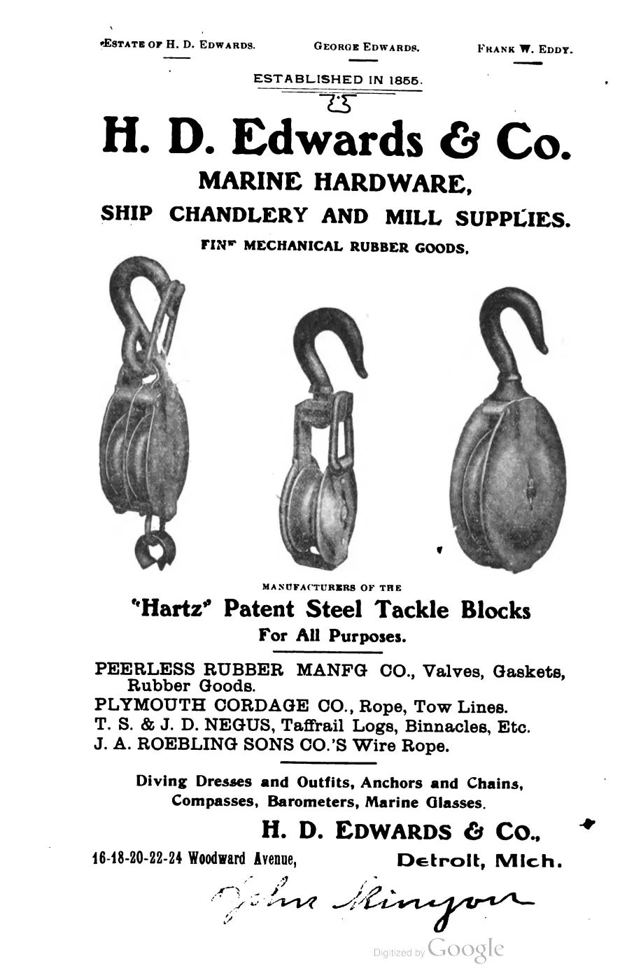


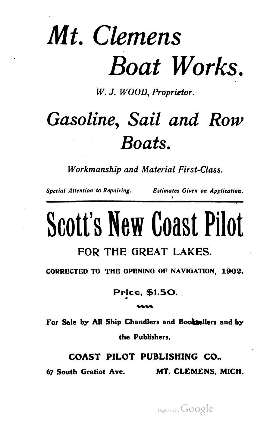


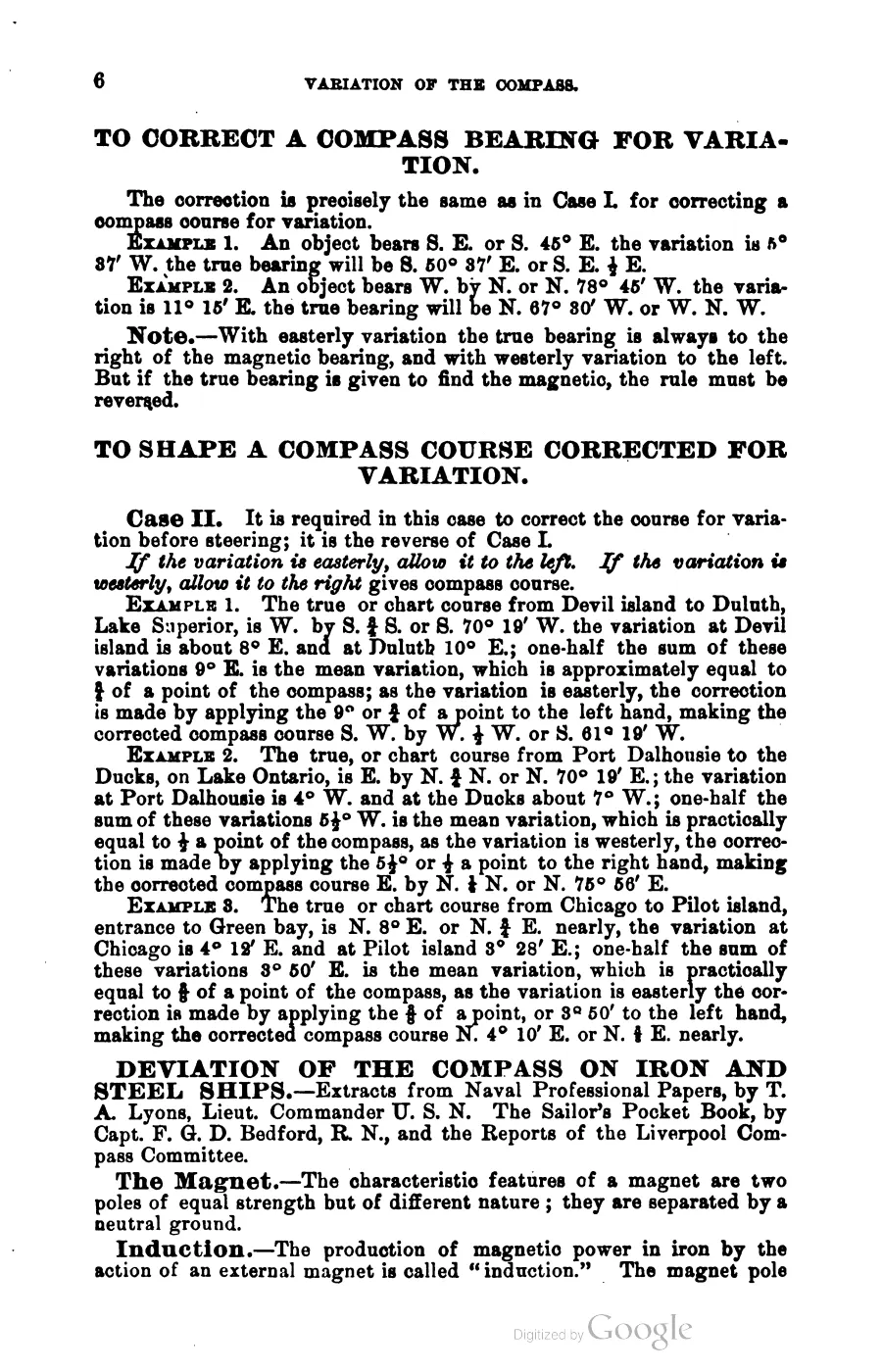
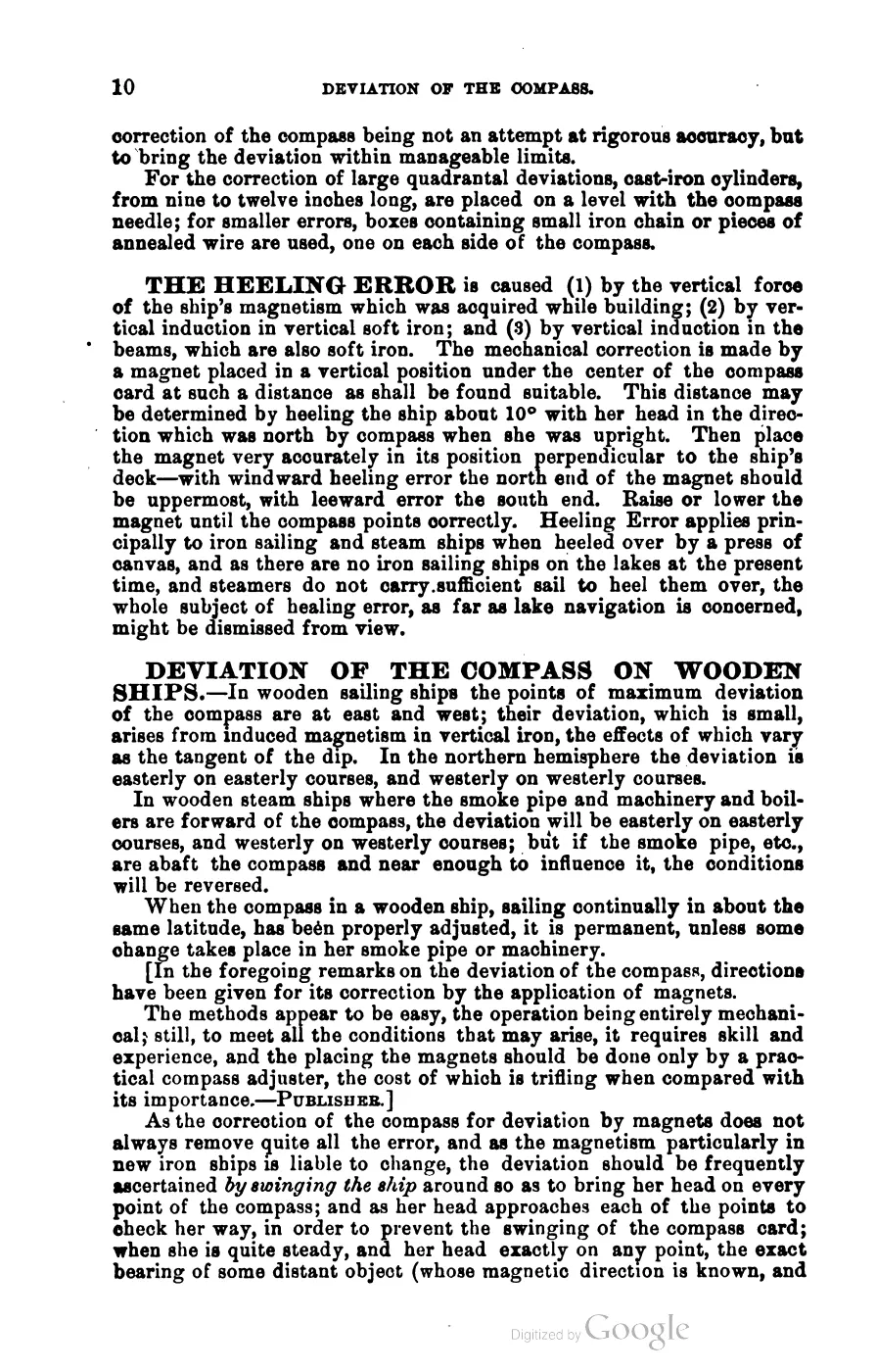
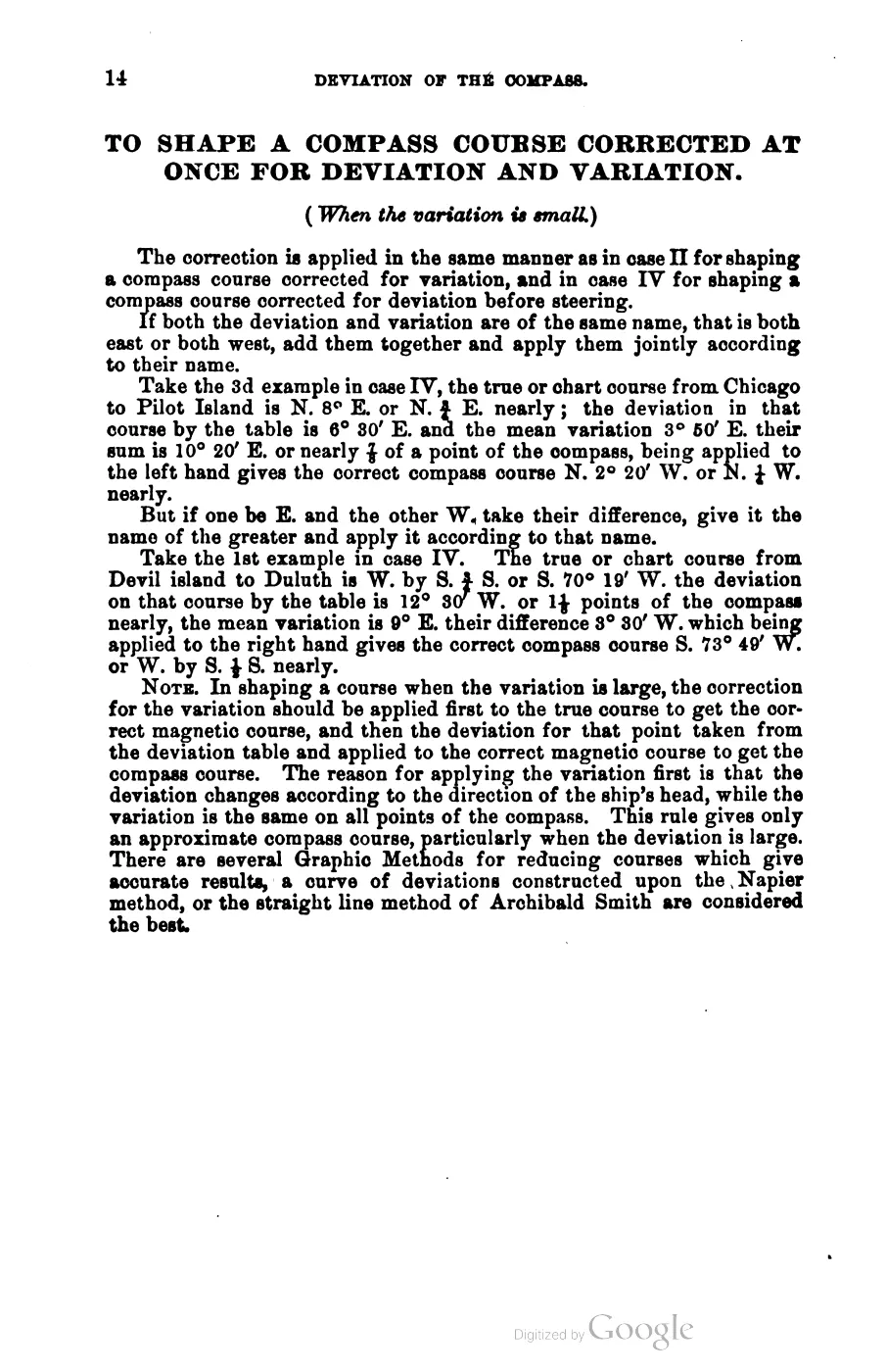
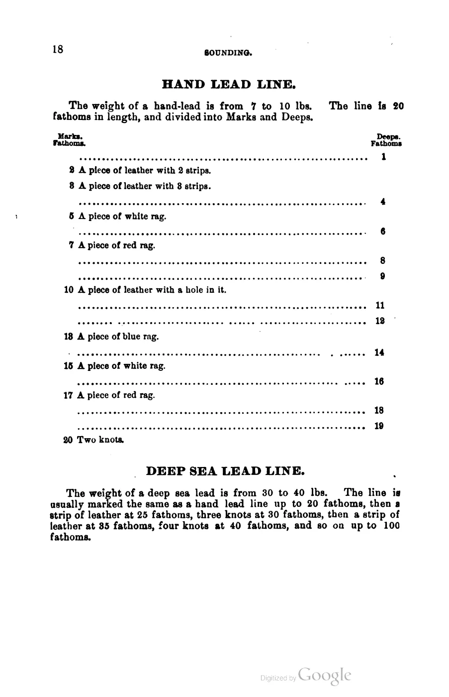
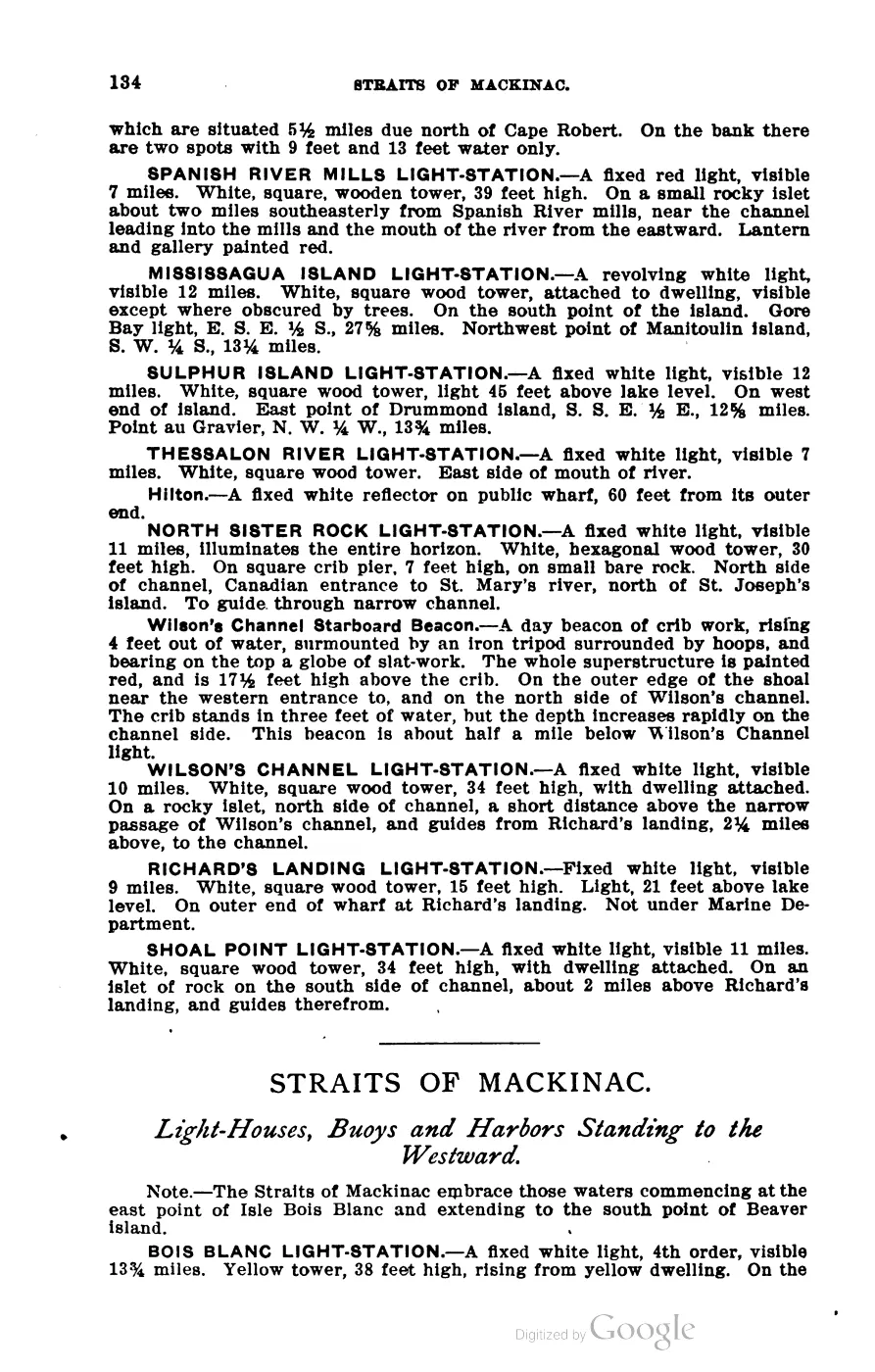
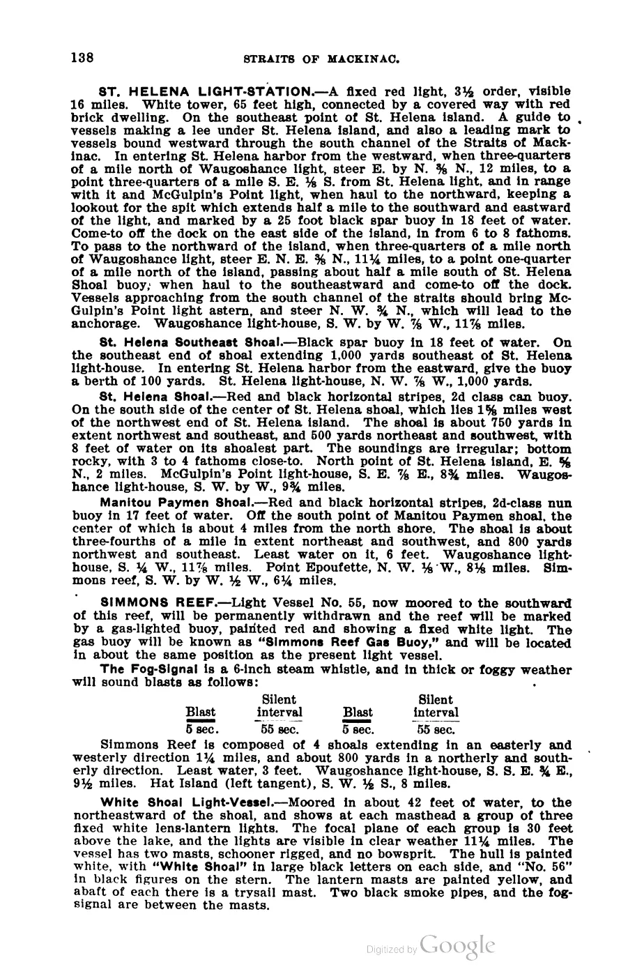
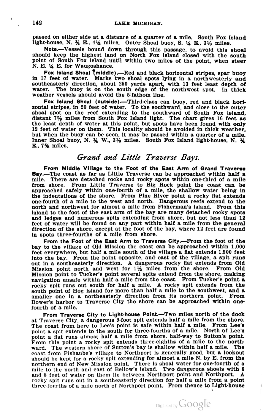
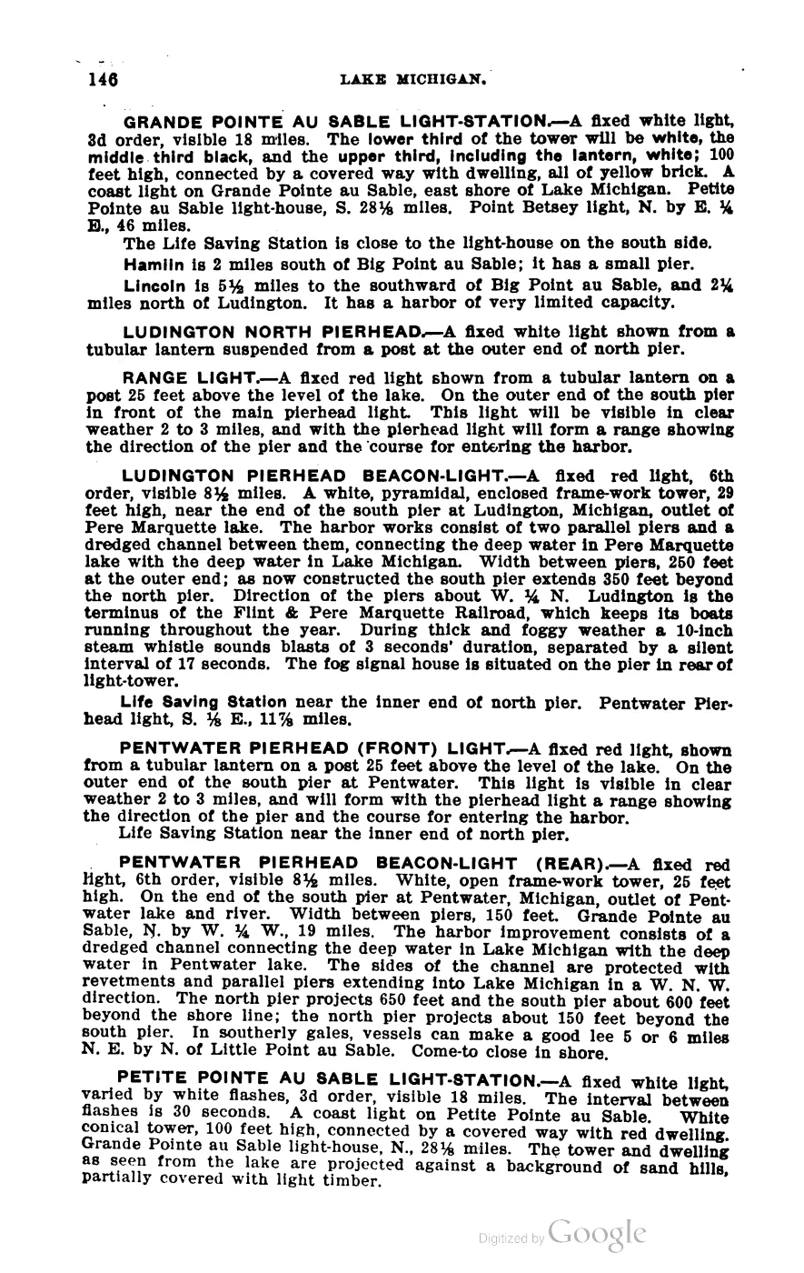
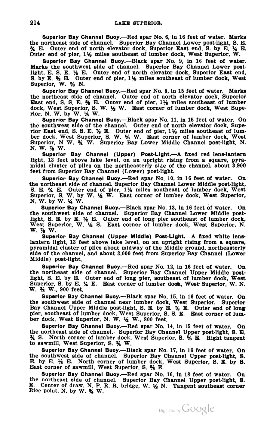
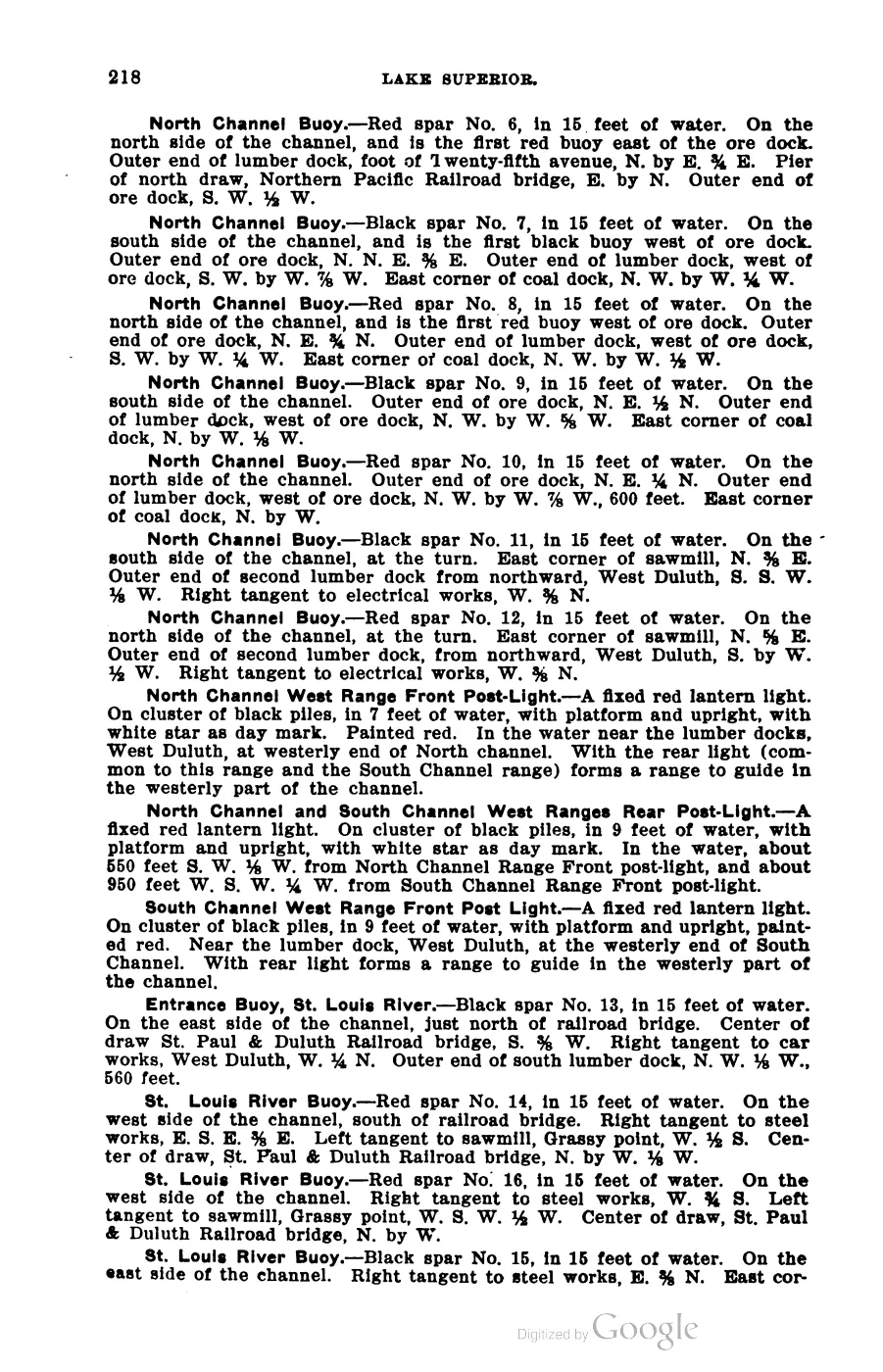
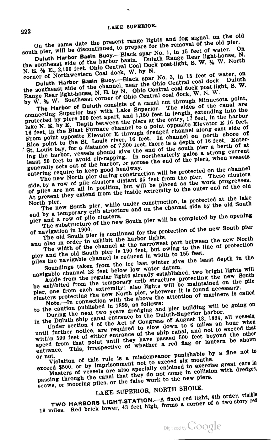
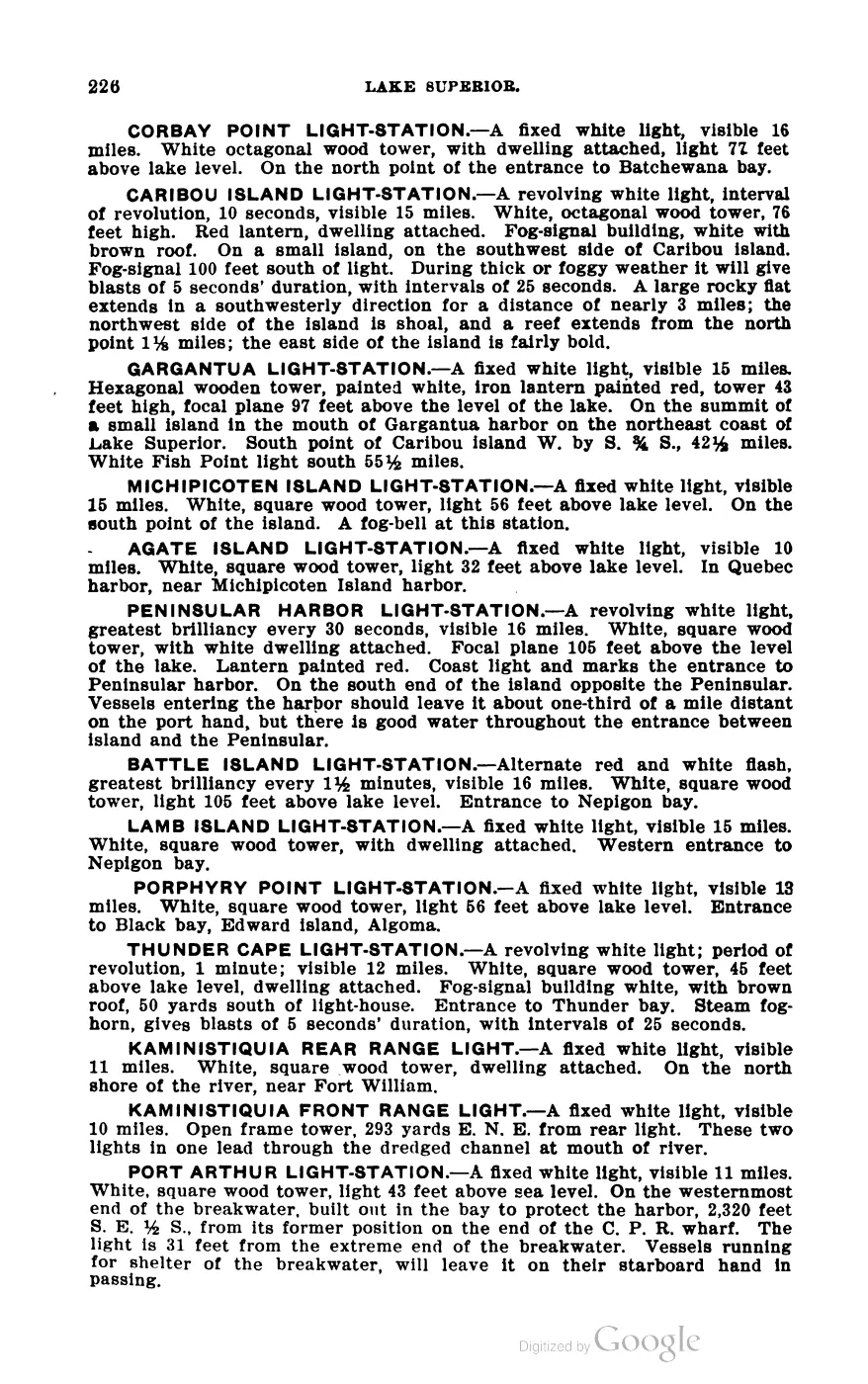
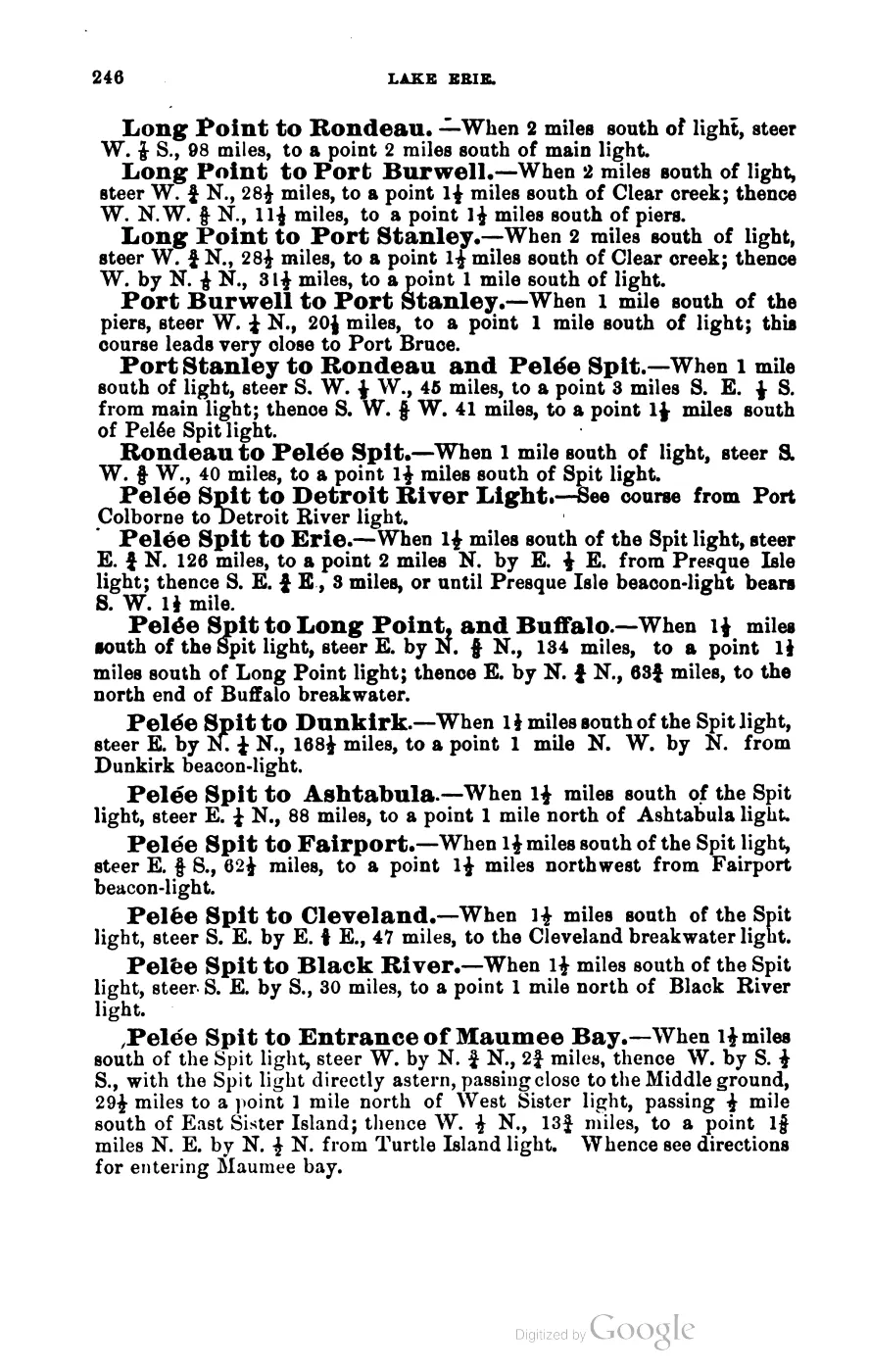
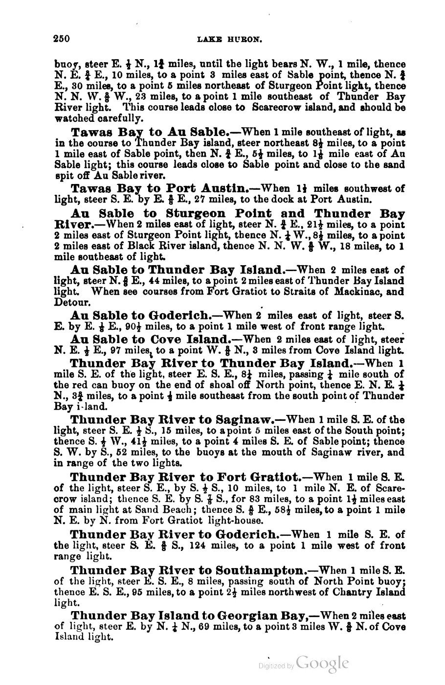
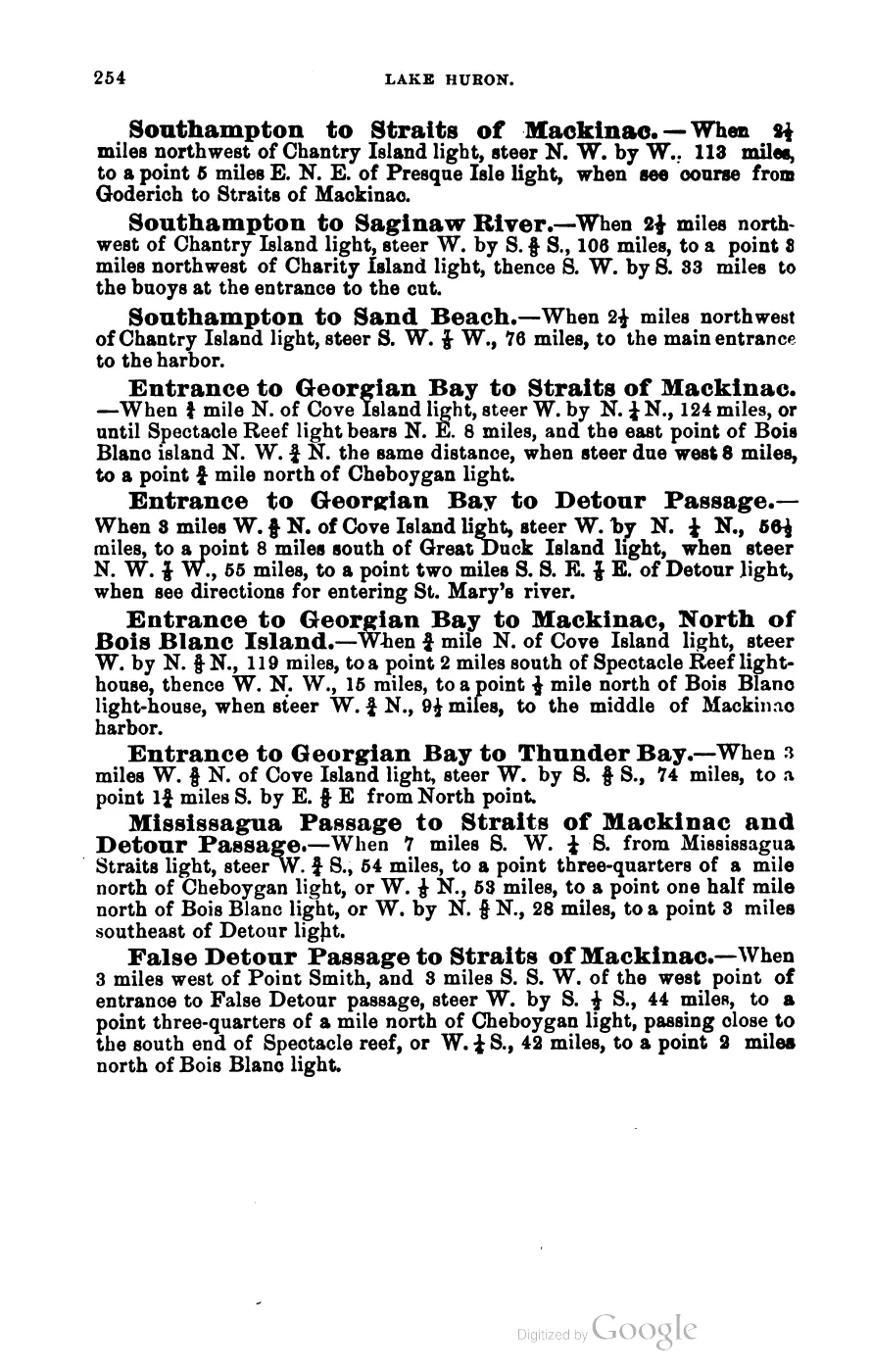
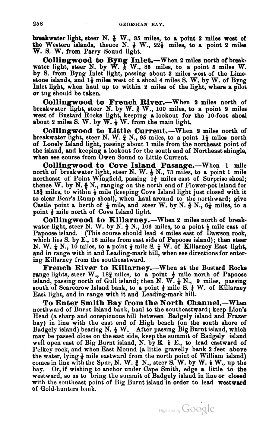
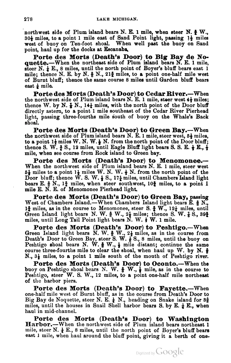
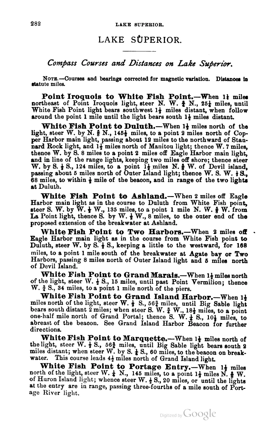
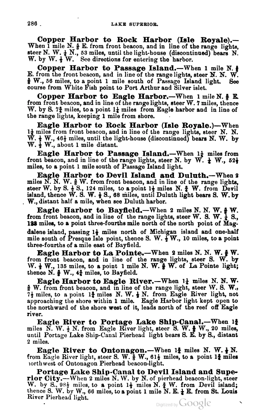
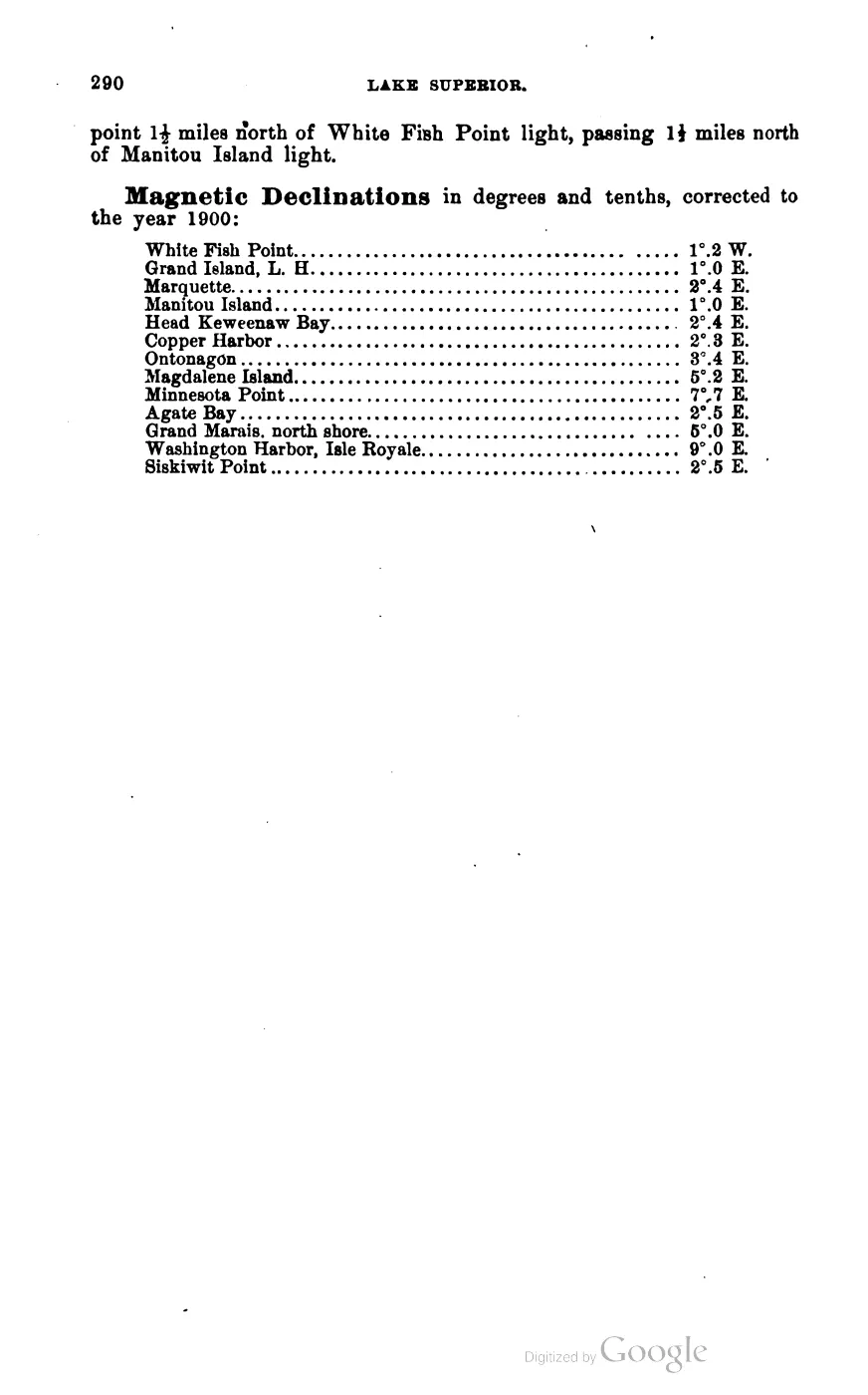
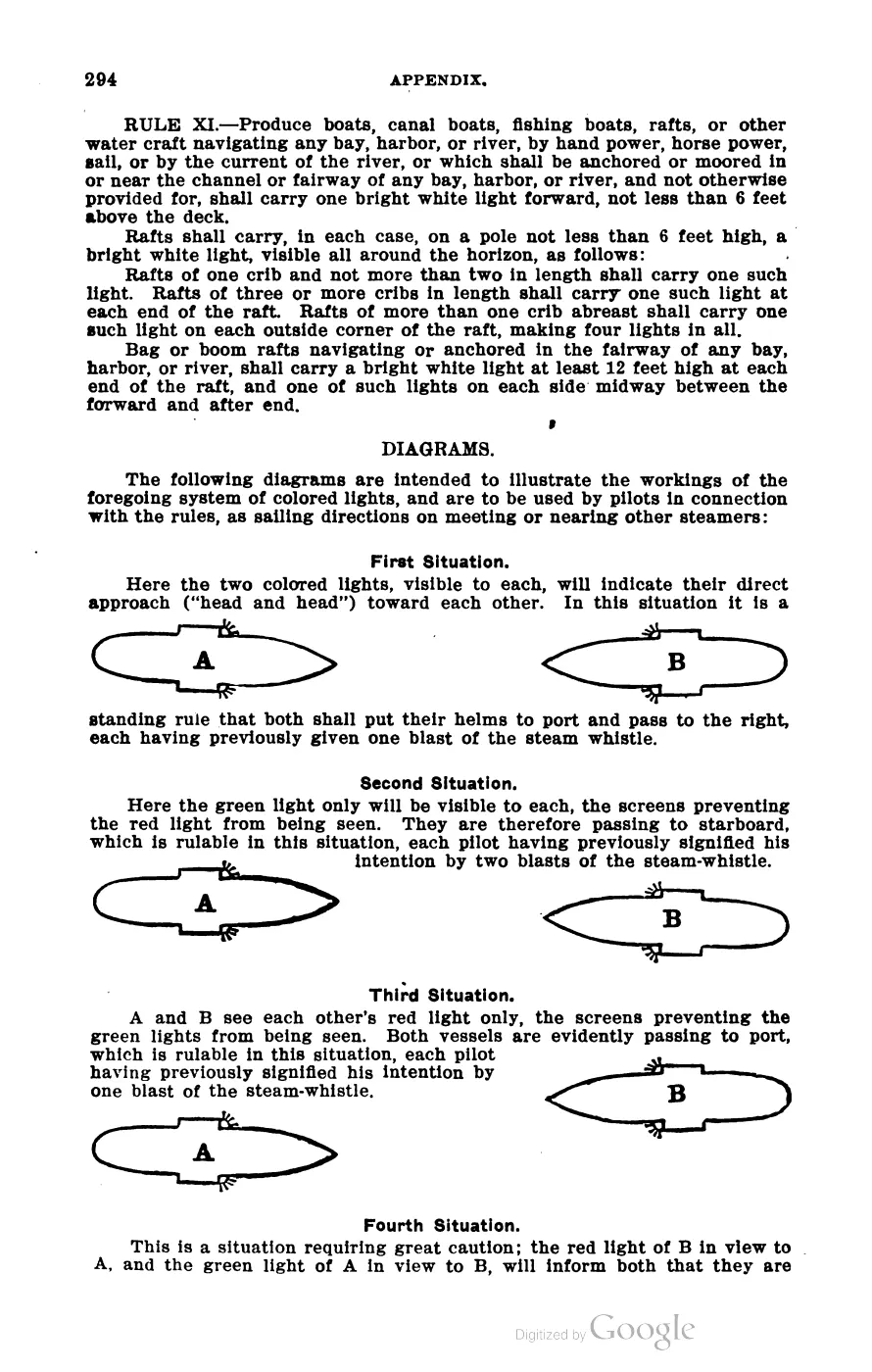
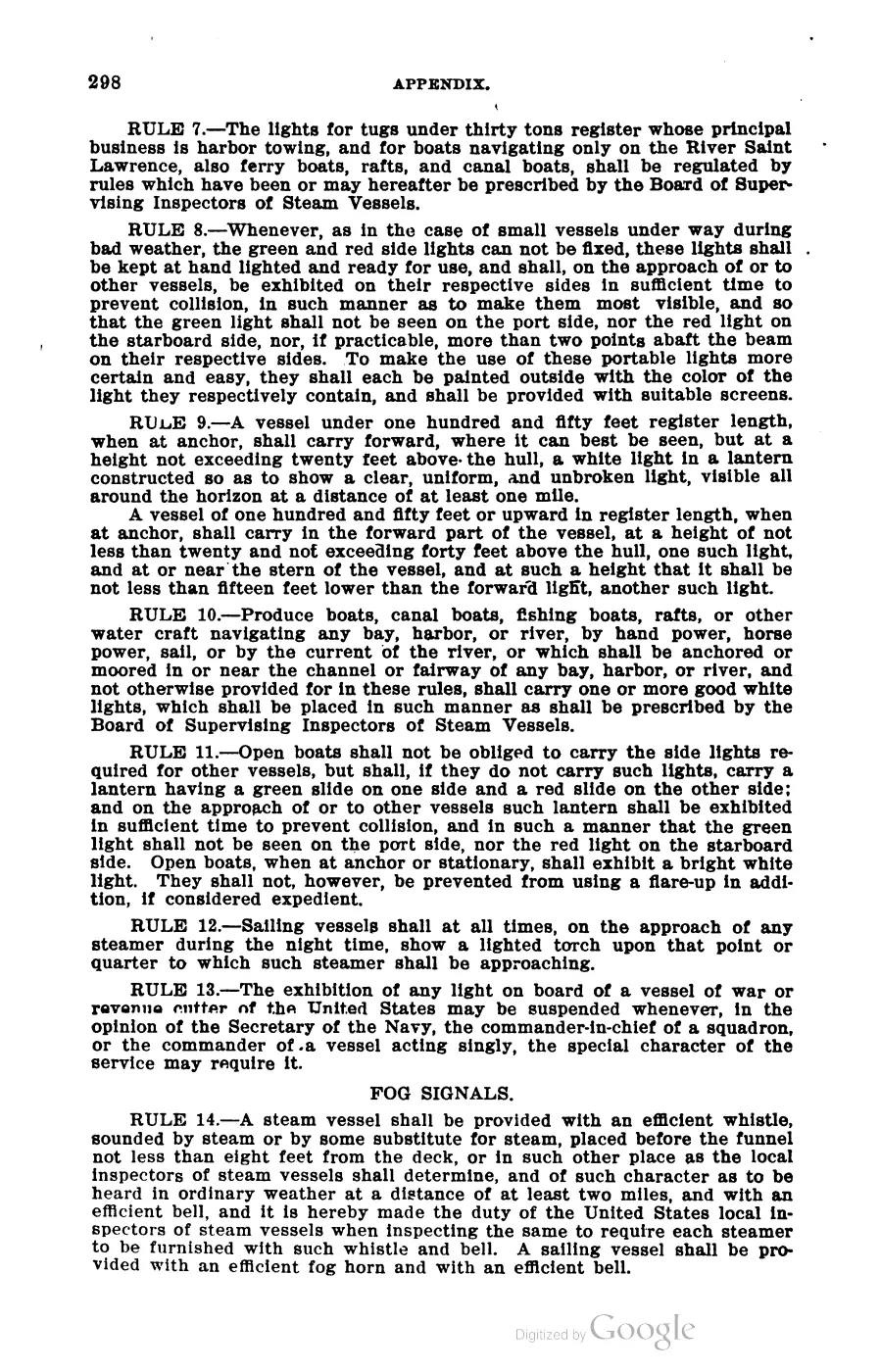
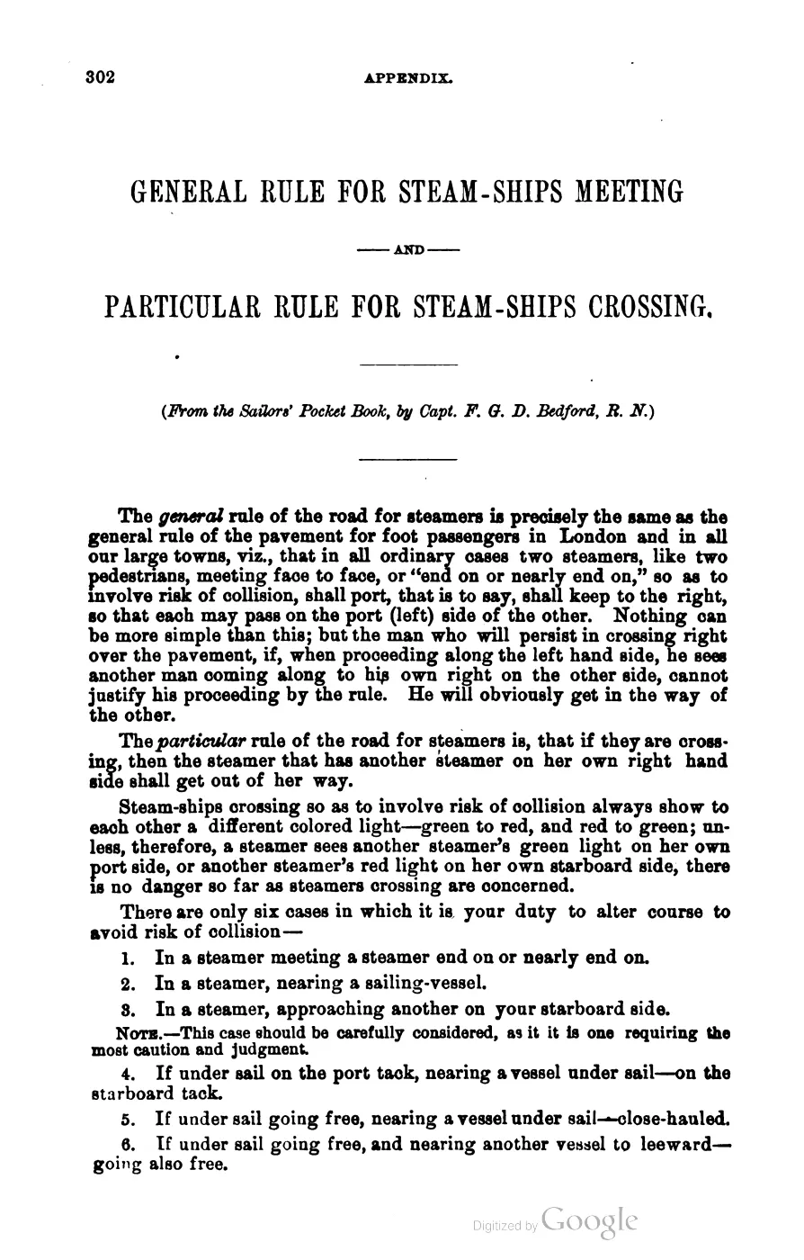
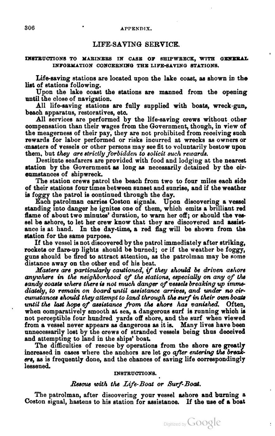
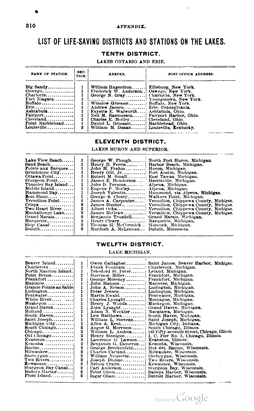
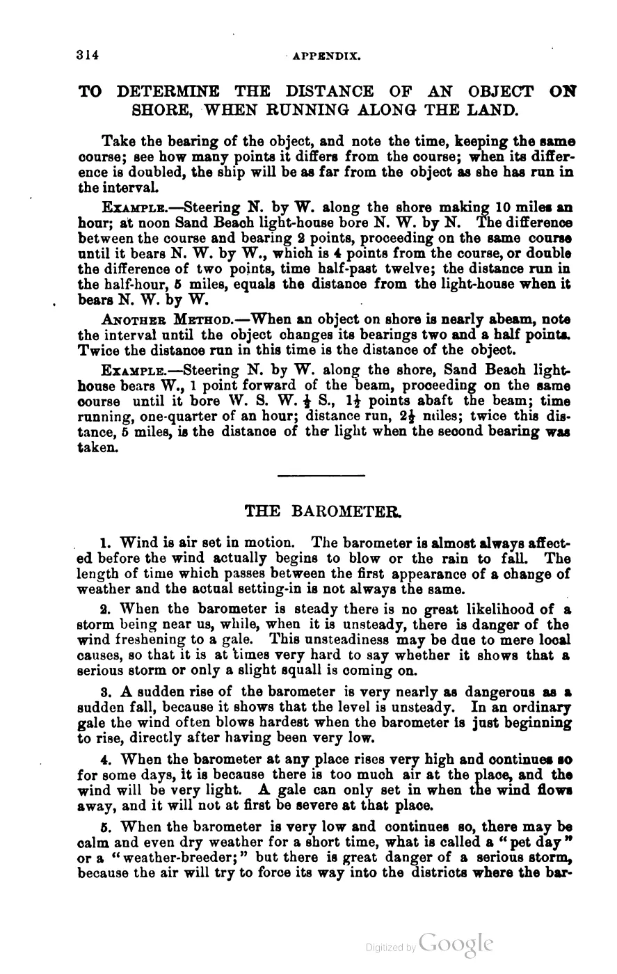
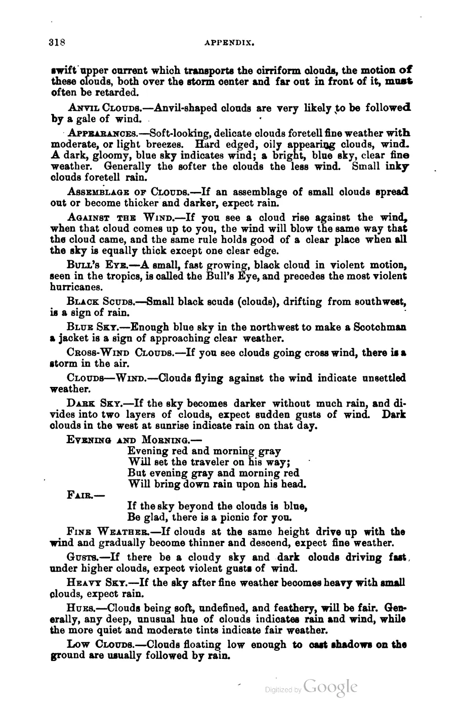
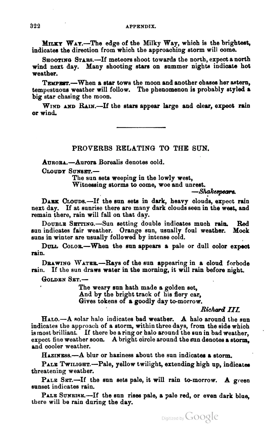
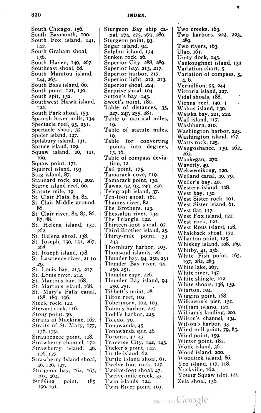





135 of 393 pages linked here — every page to 32, then every 4th, then the last 16. With JavaScript, every page.
Sources
- Area 0.52 km² computed in EPSG:3078.osm · islands
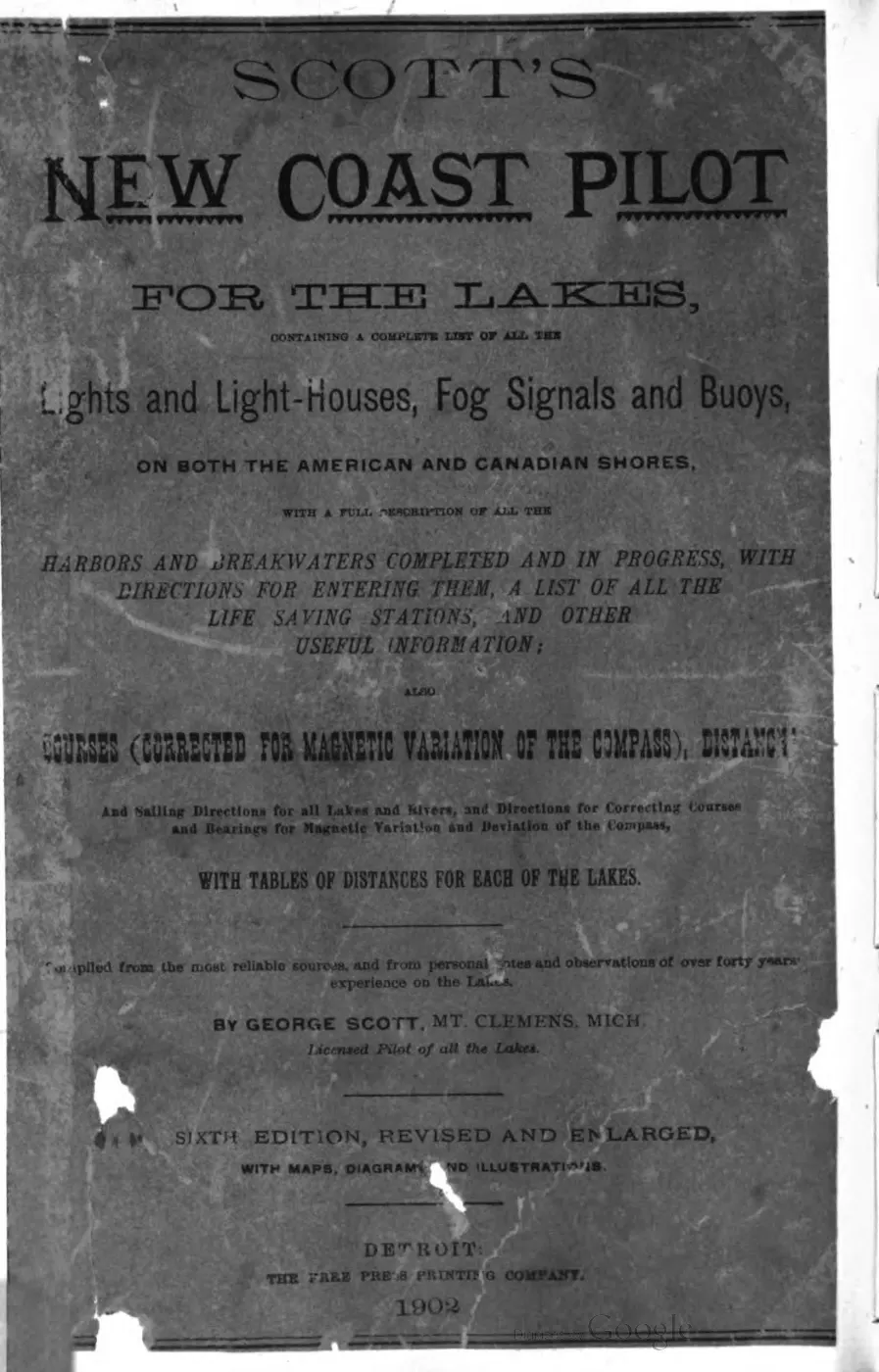
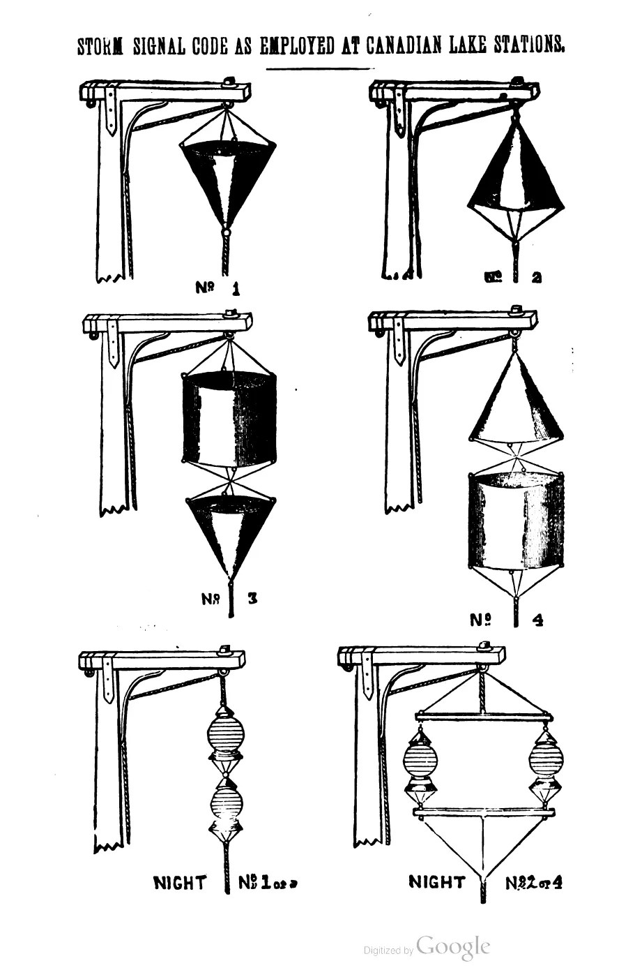
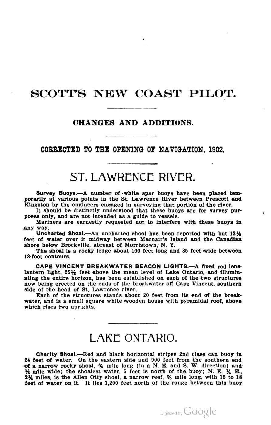
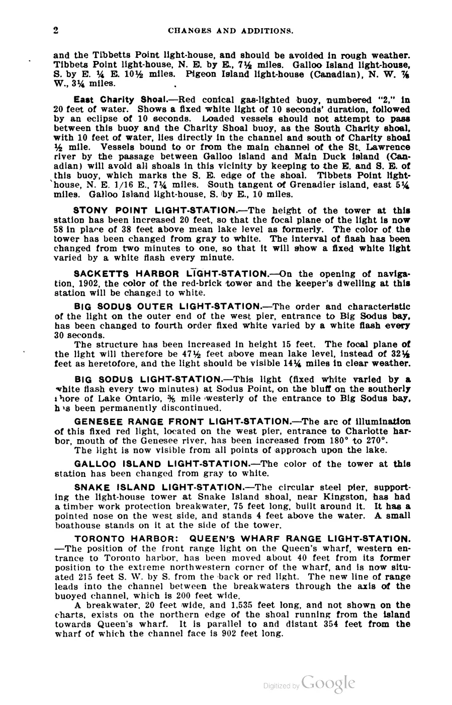
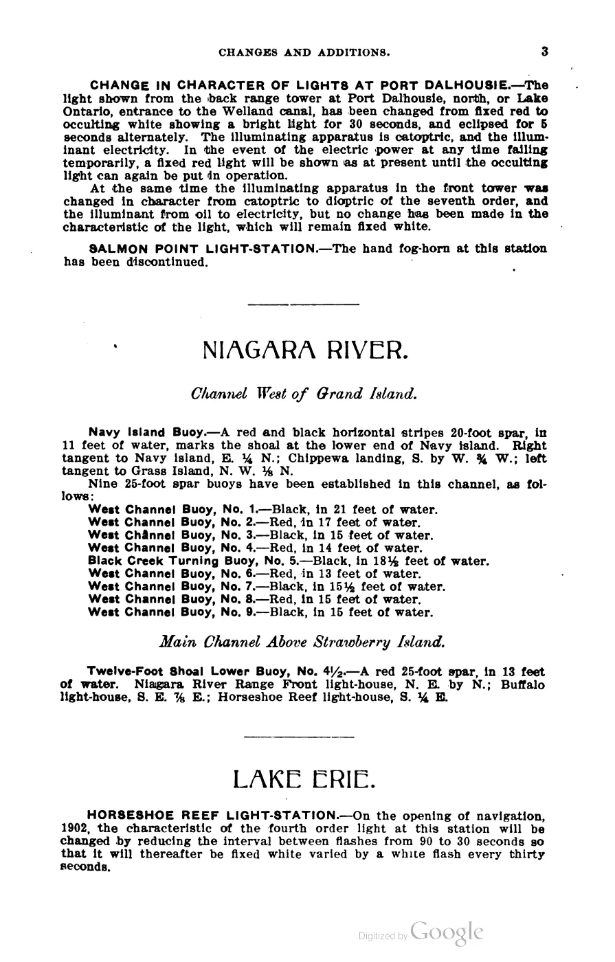
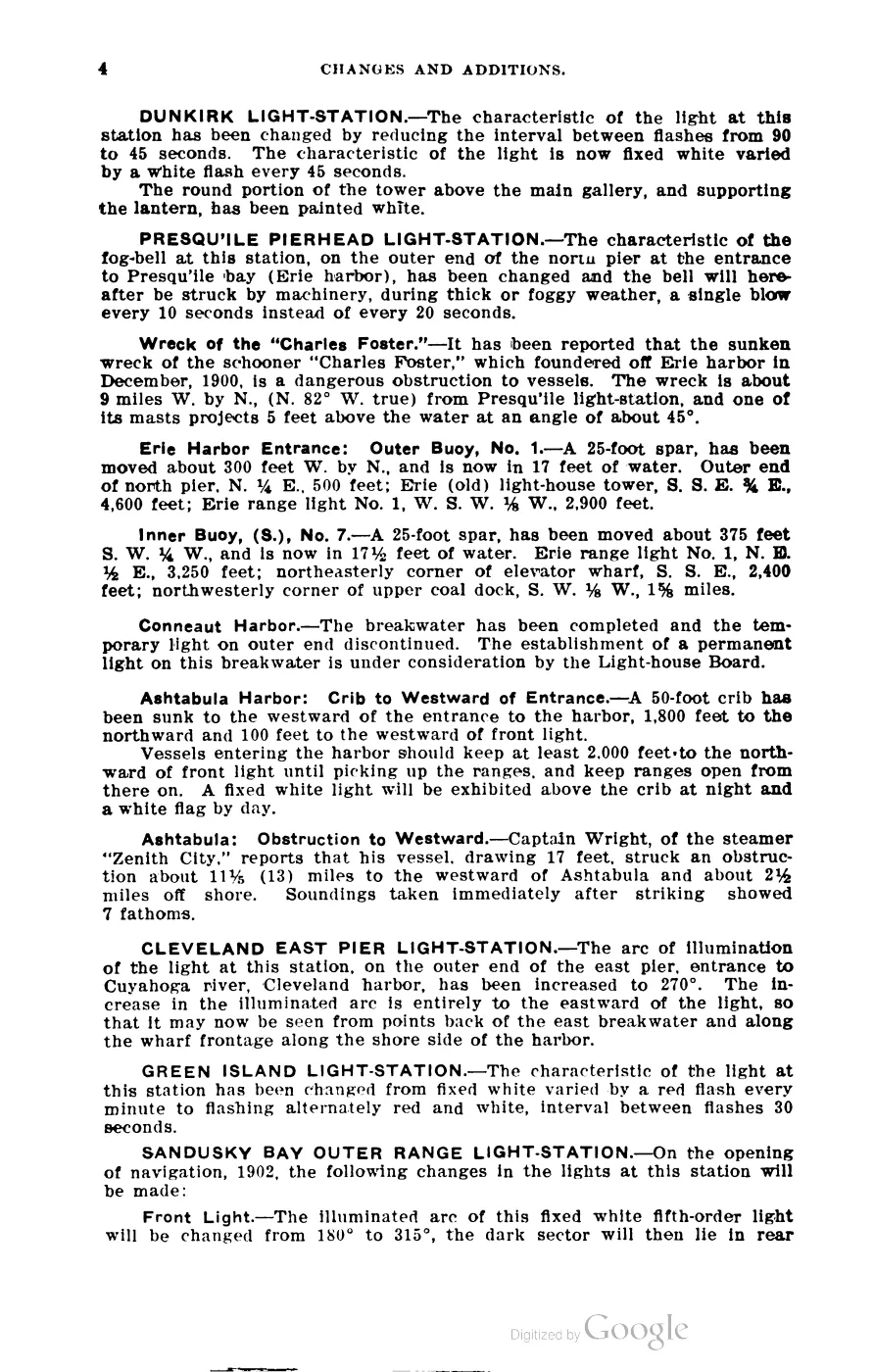
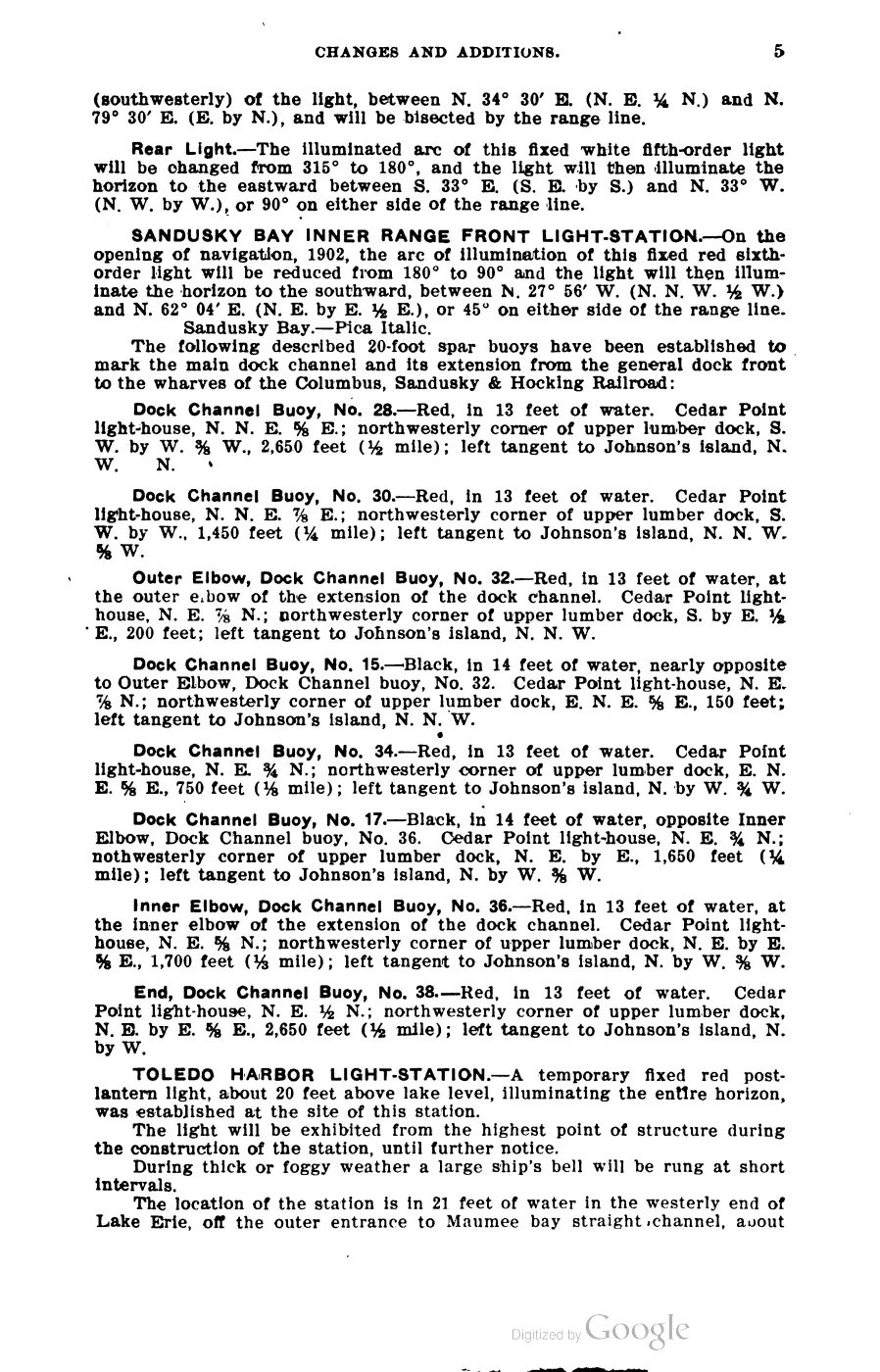
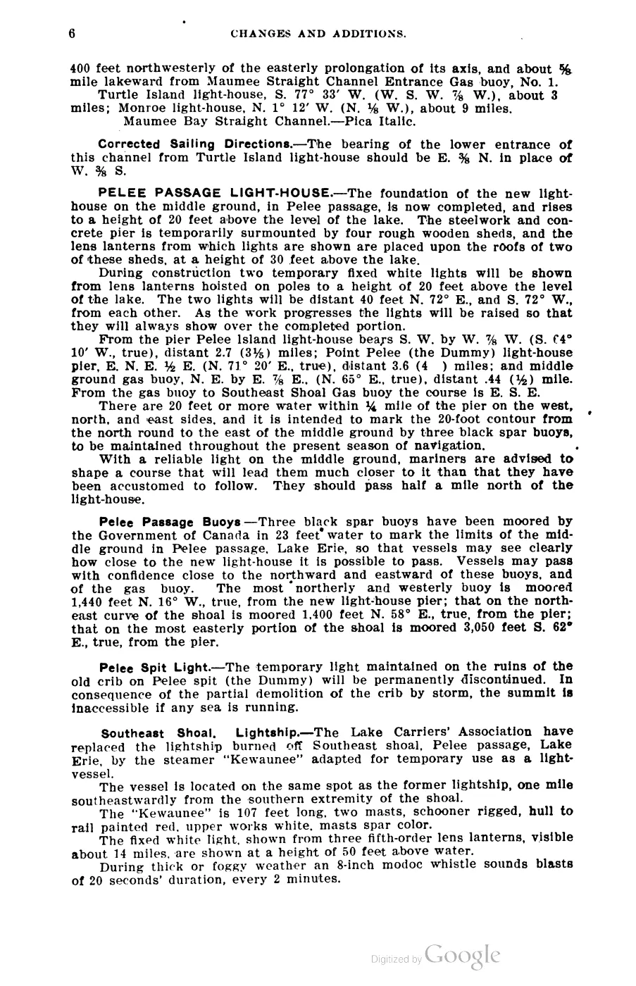
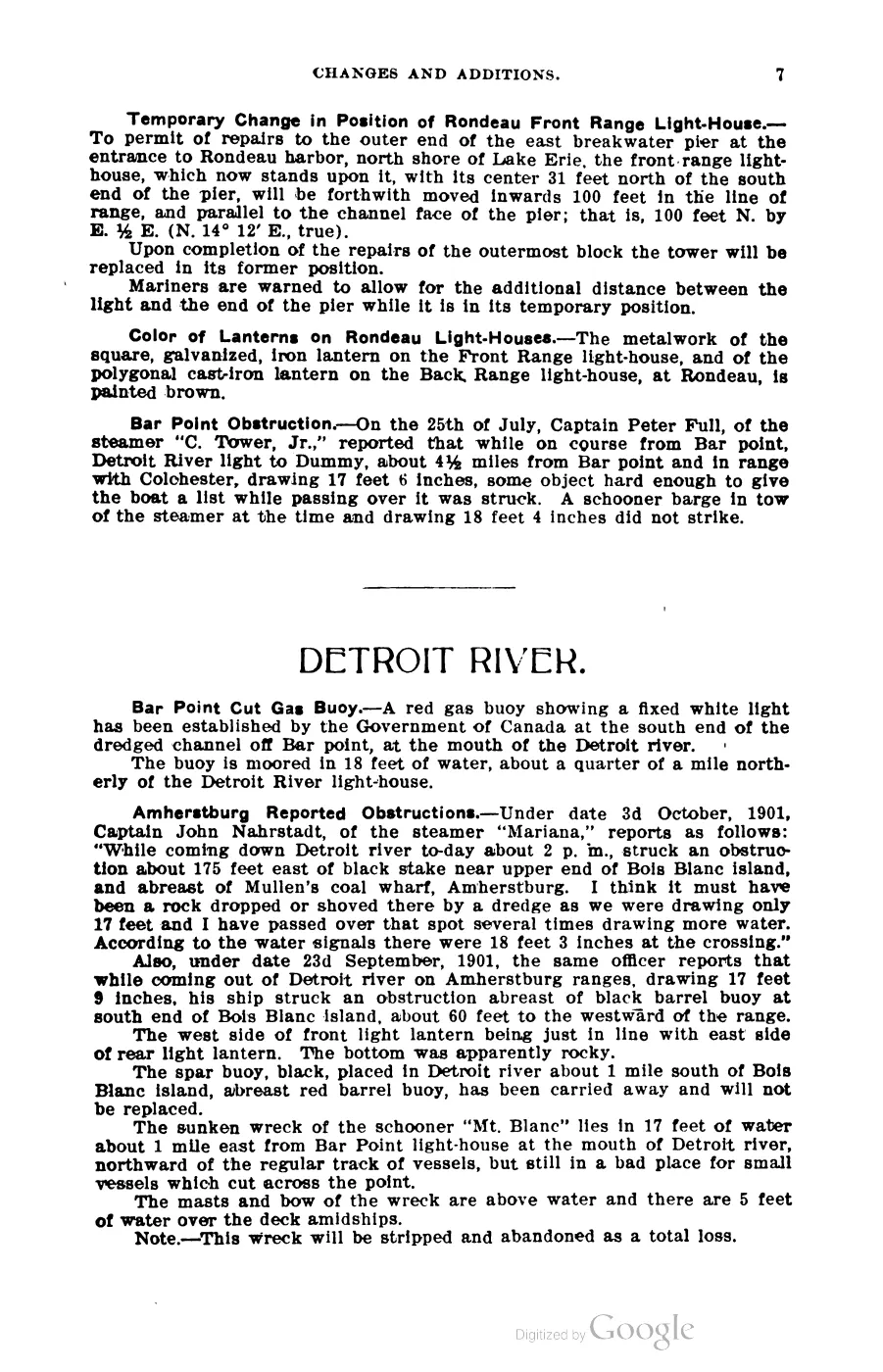
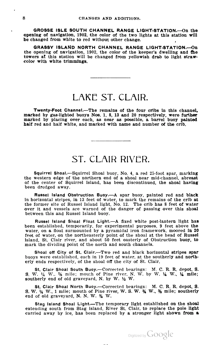
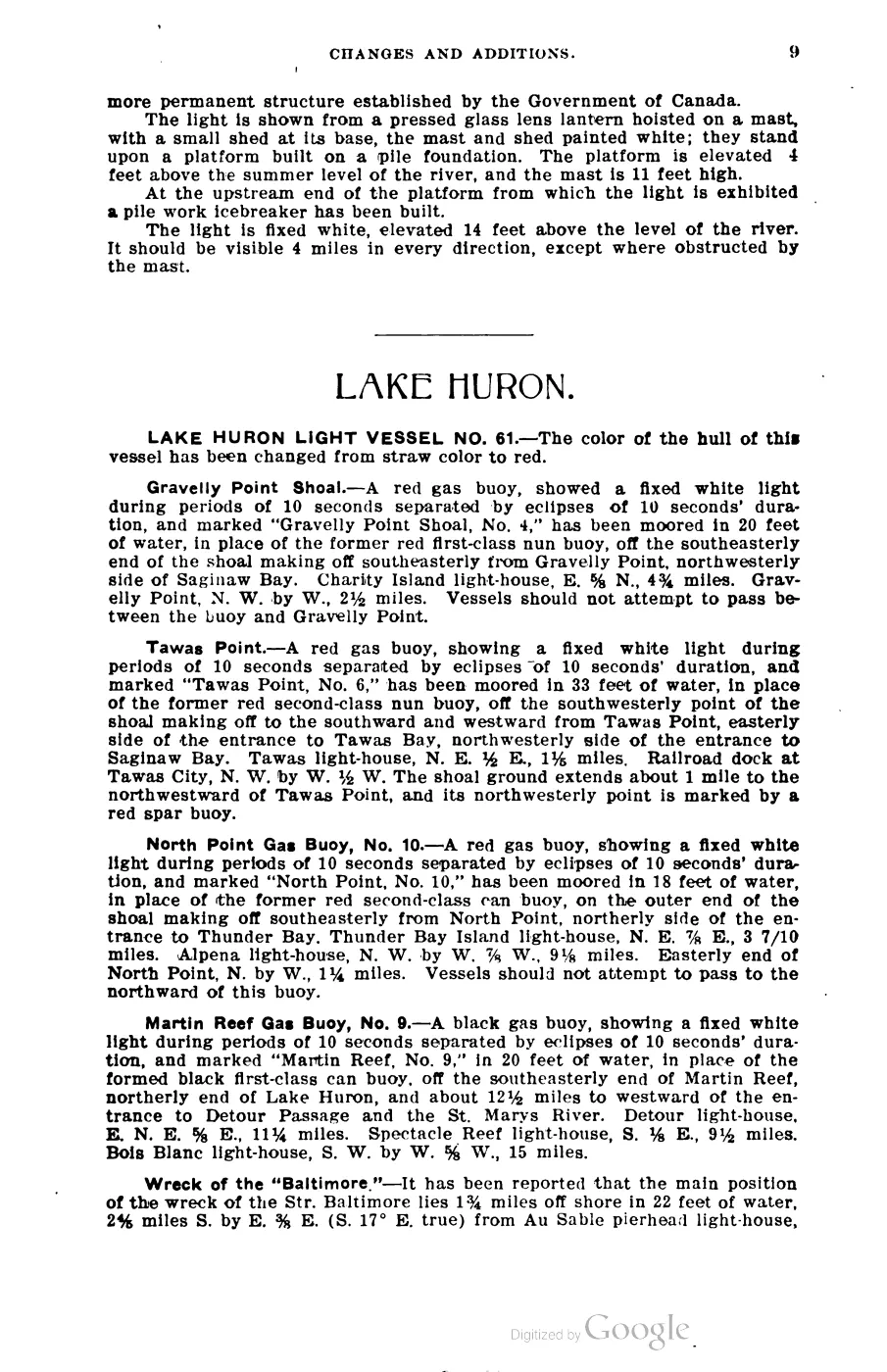
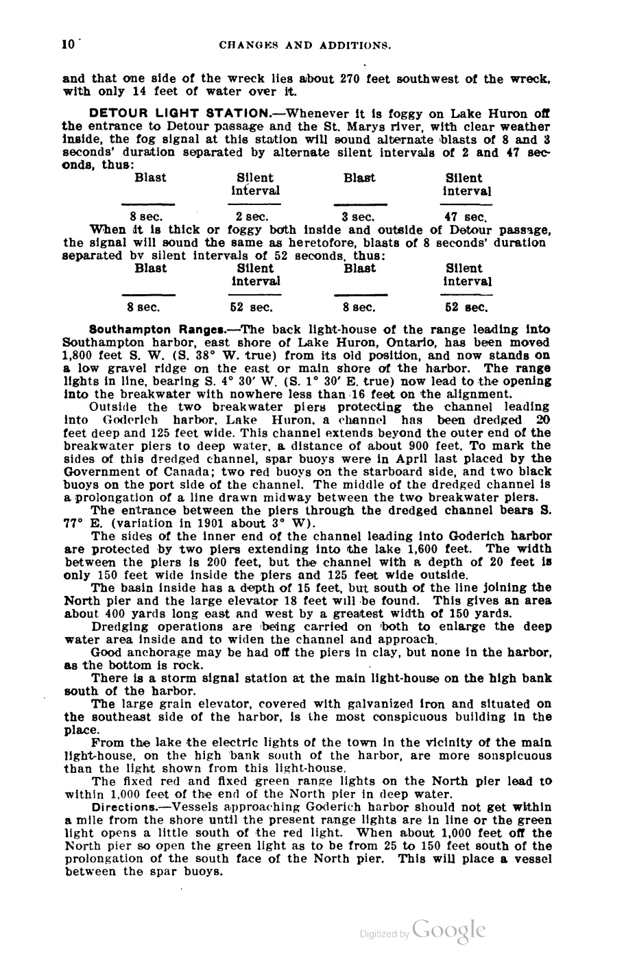
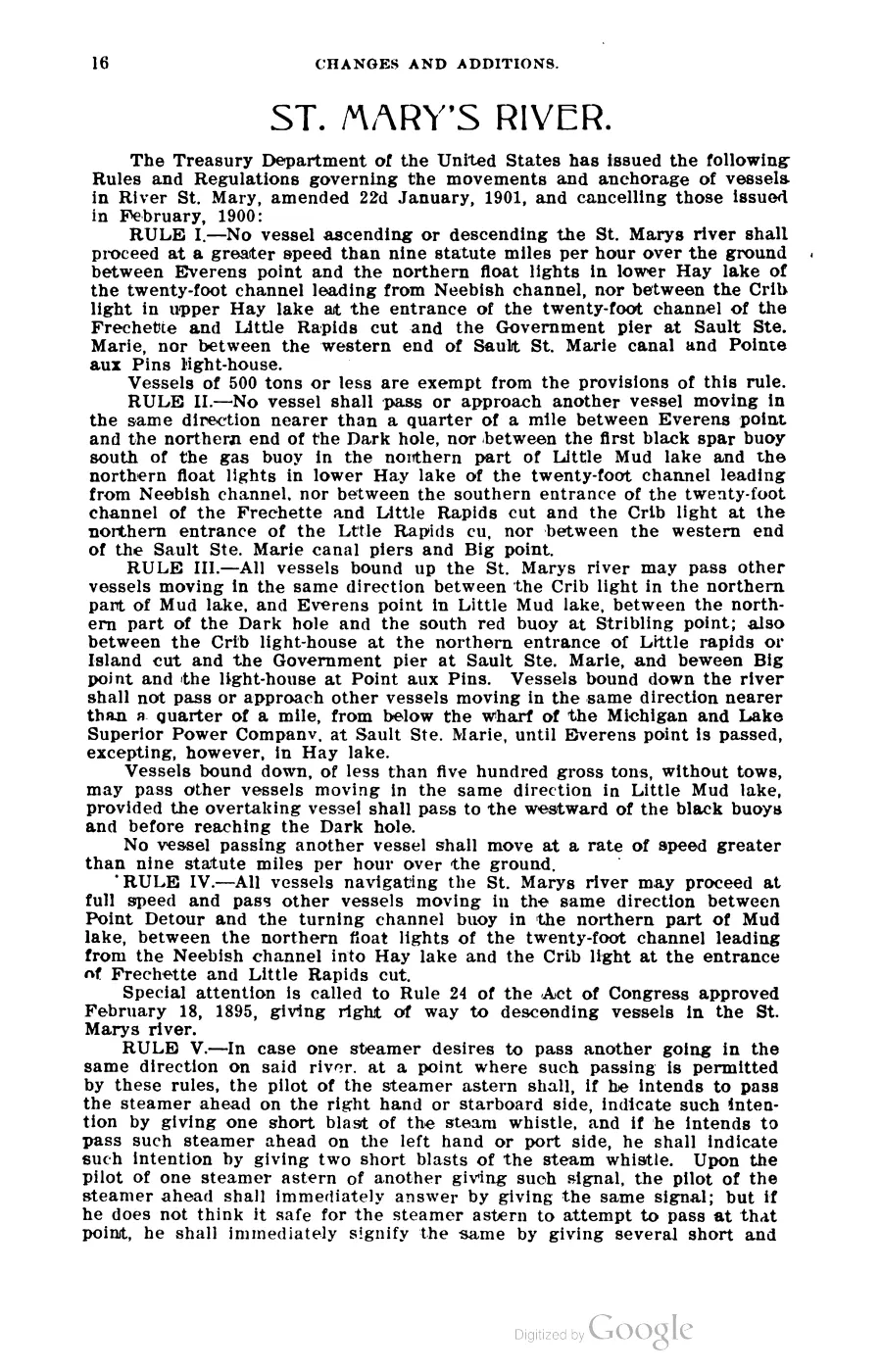
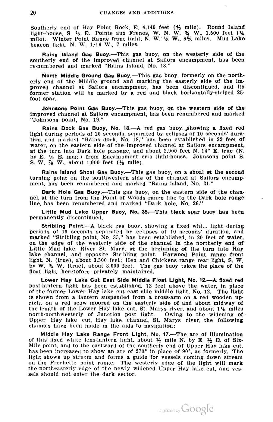
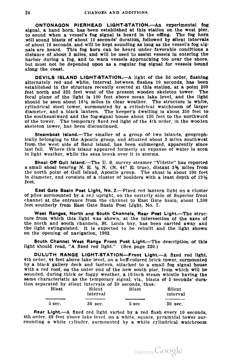
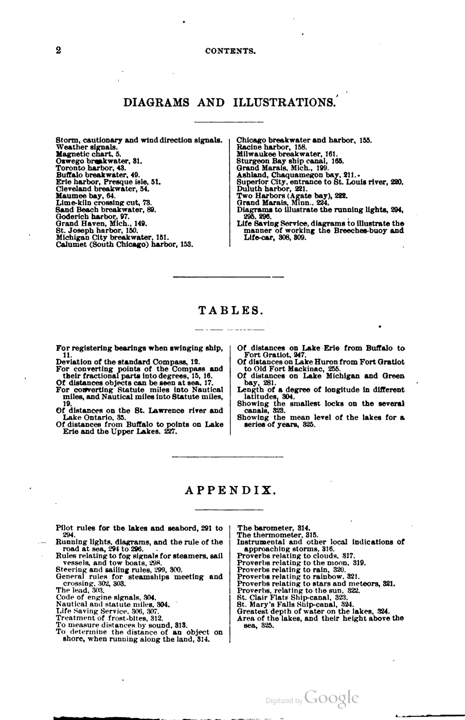
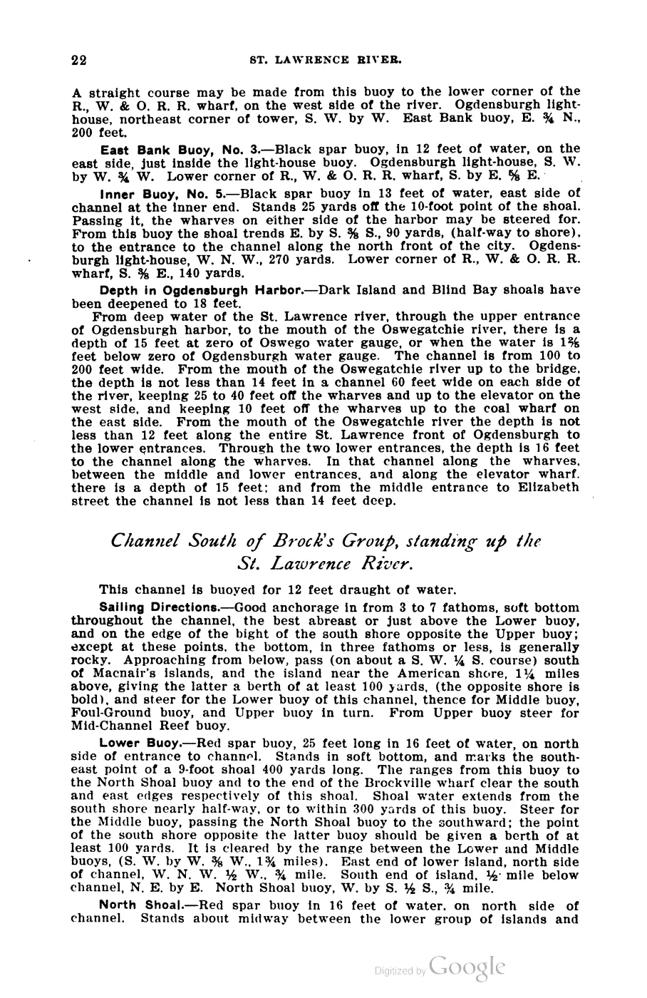
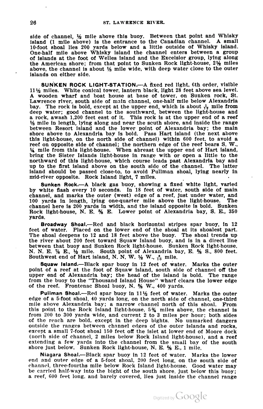
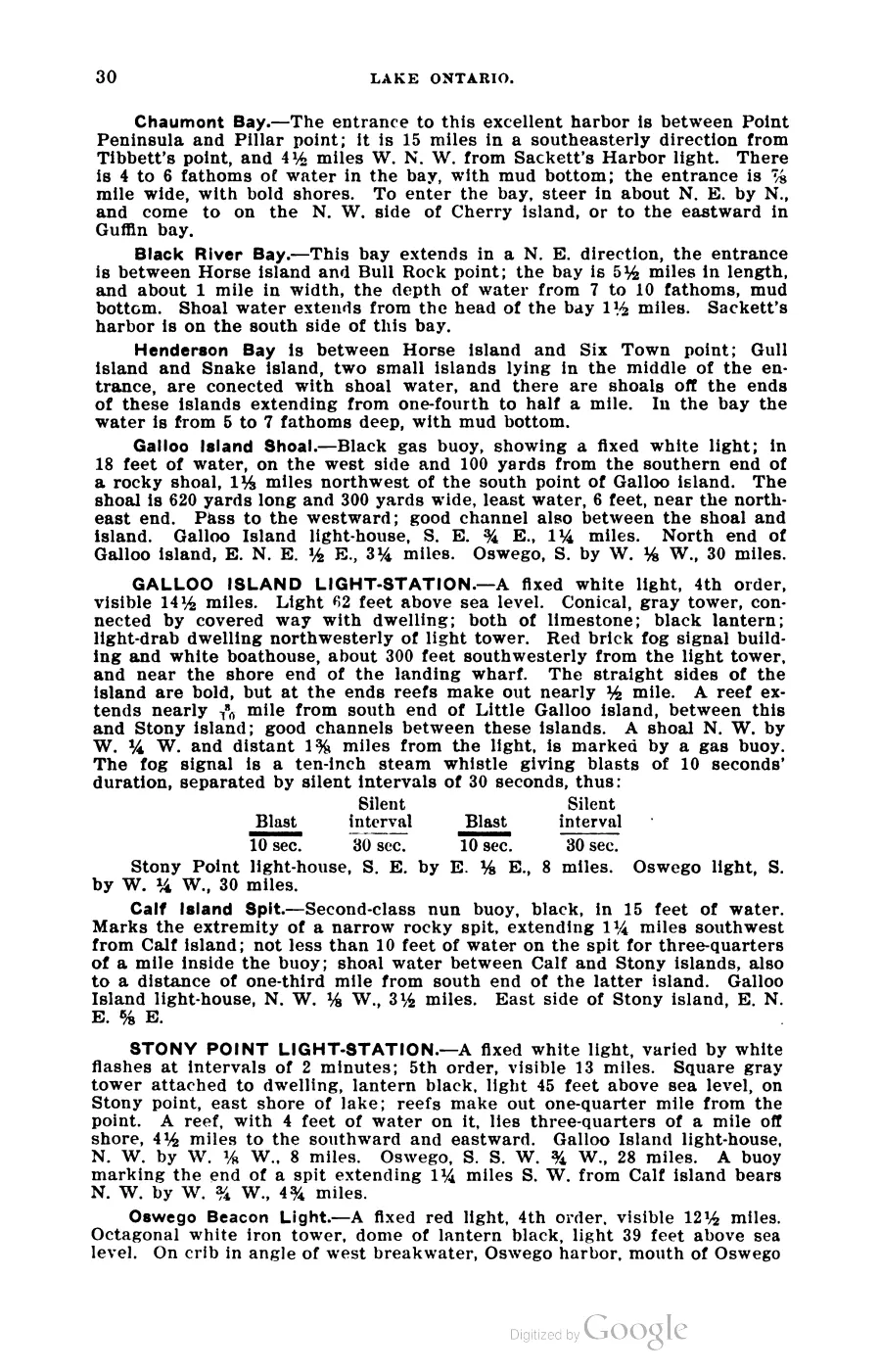
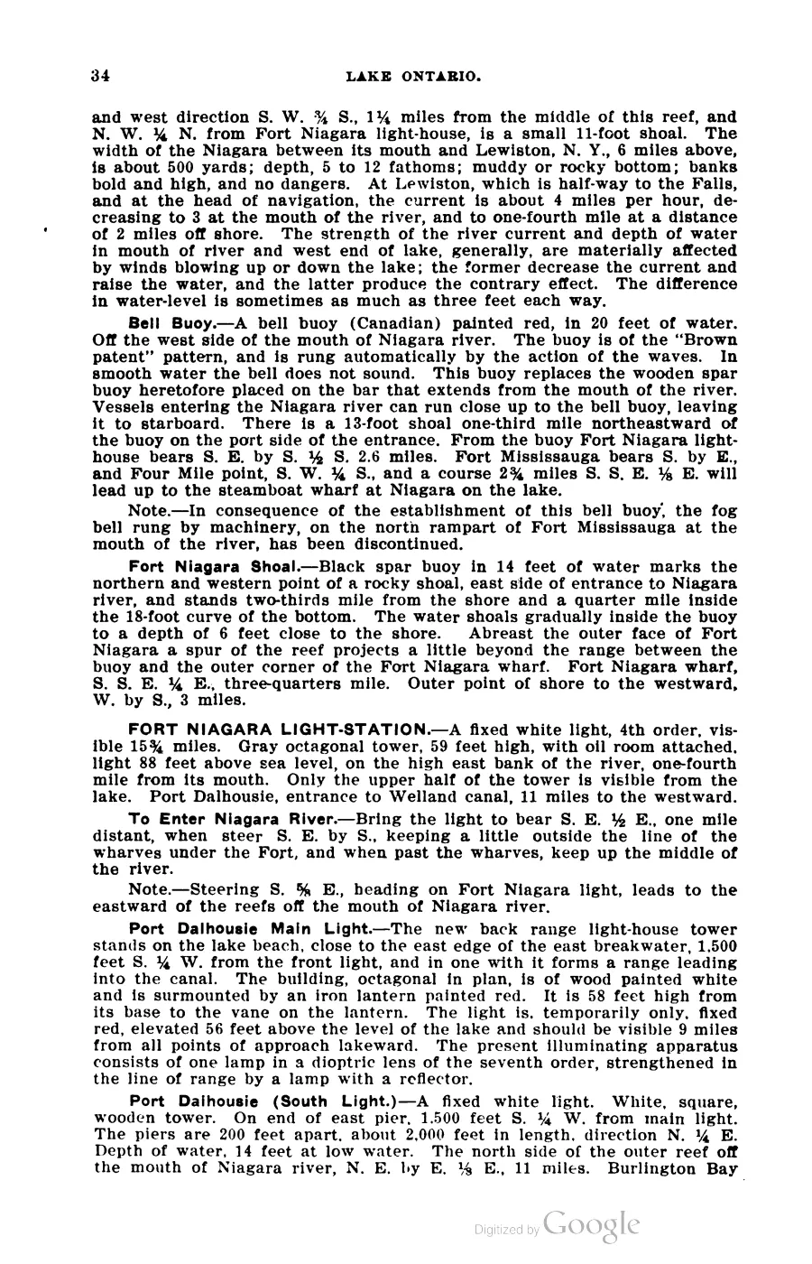
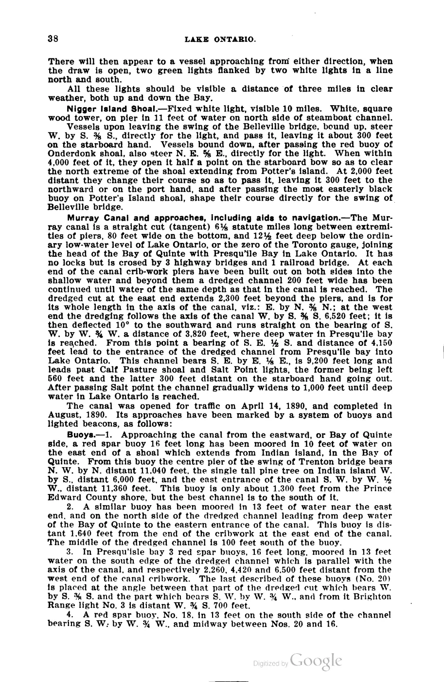
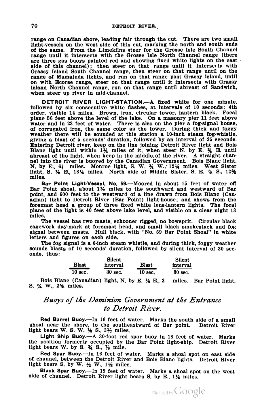
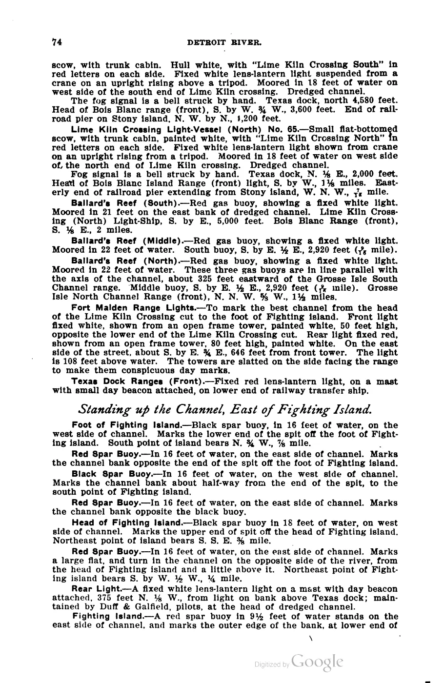
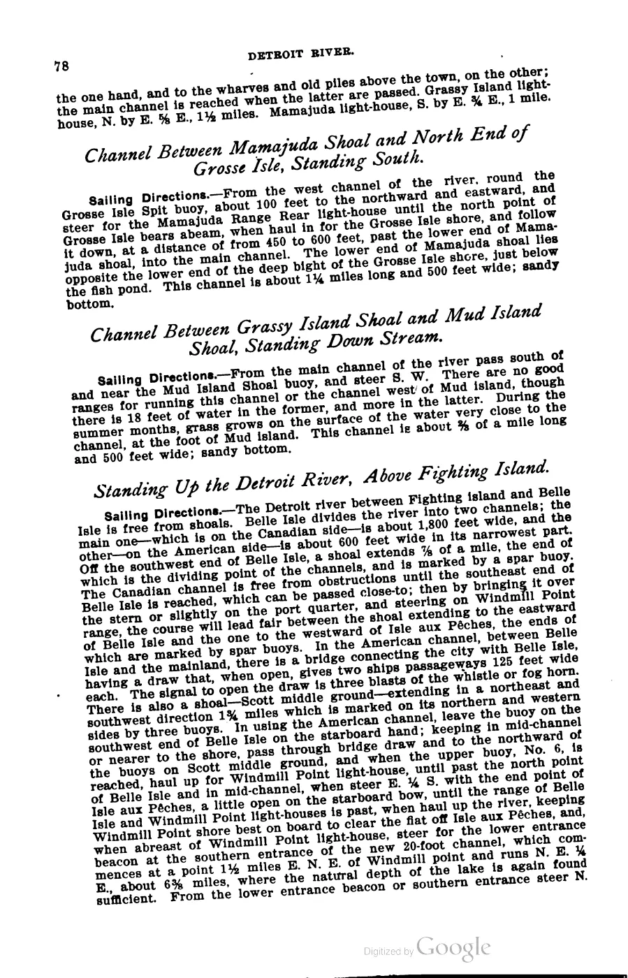
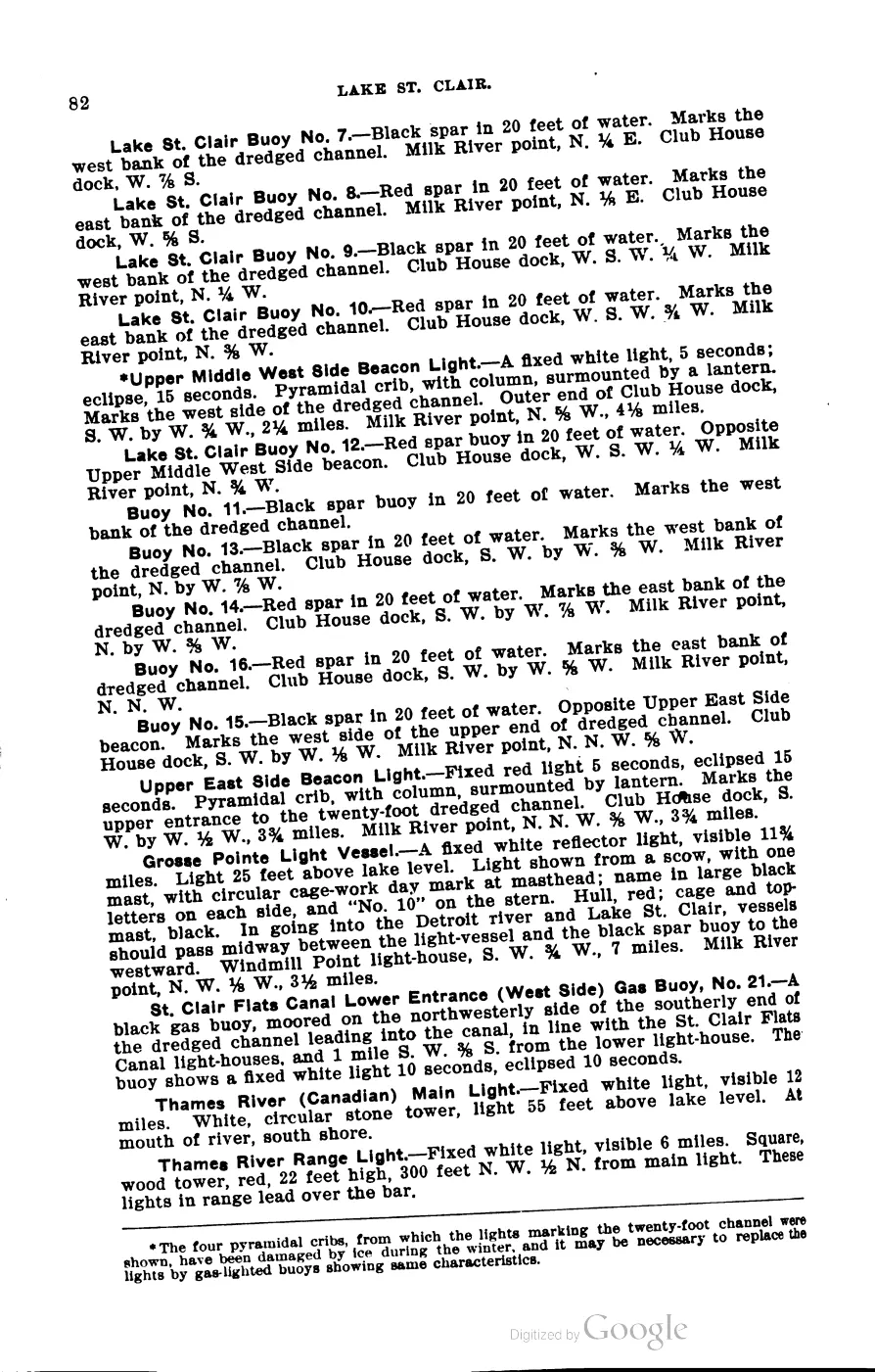
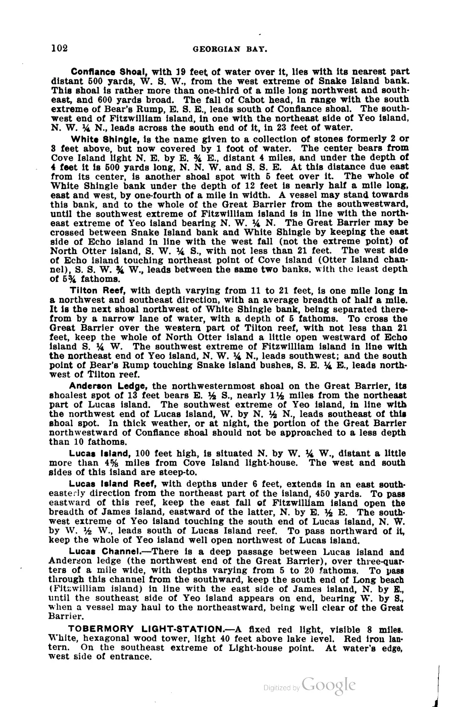
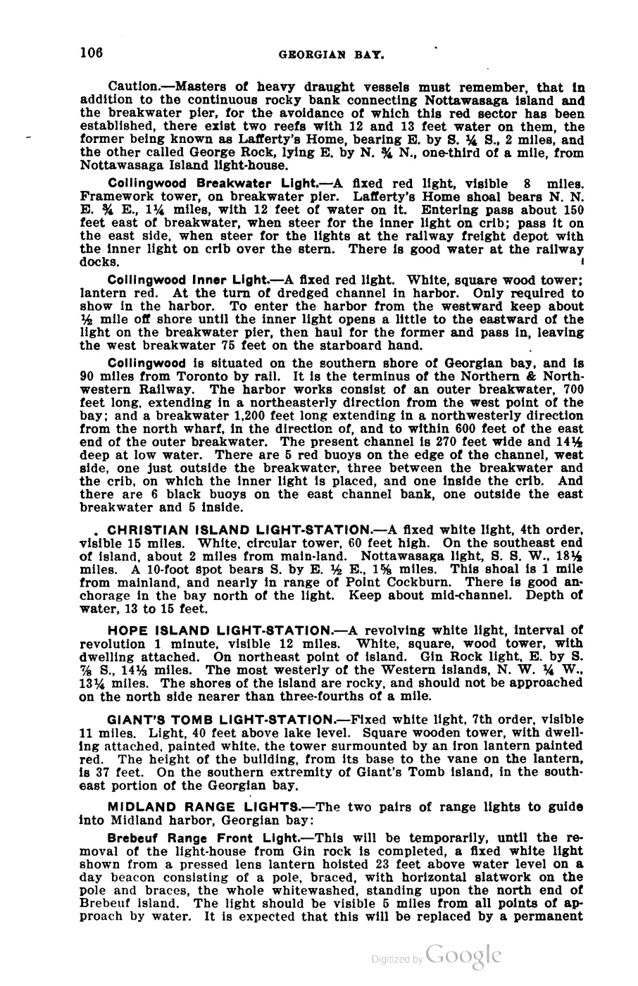
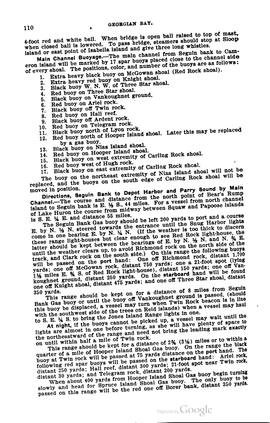
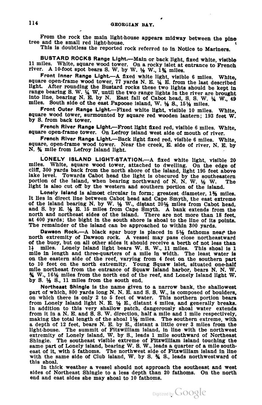
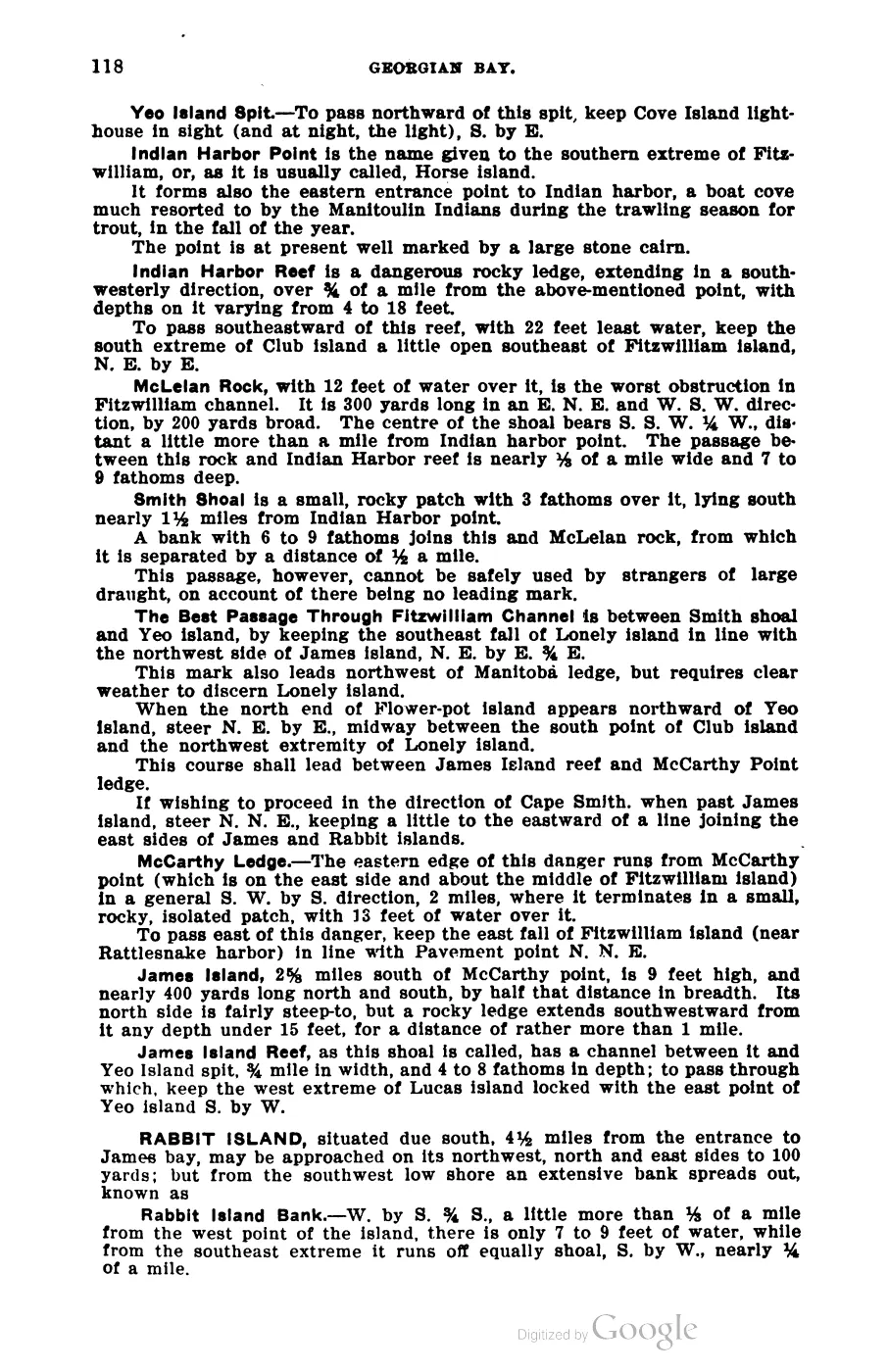
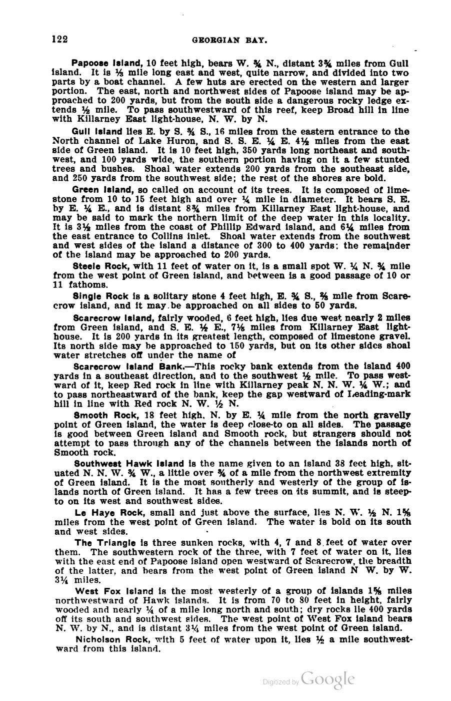
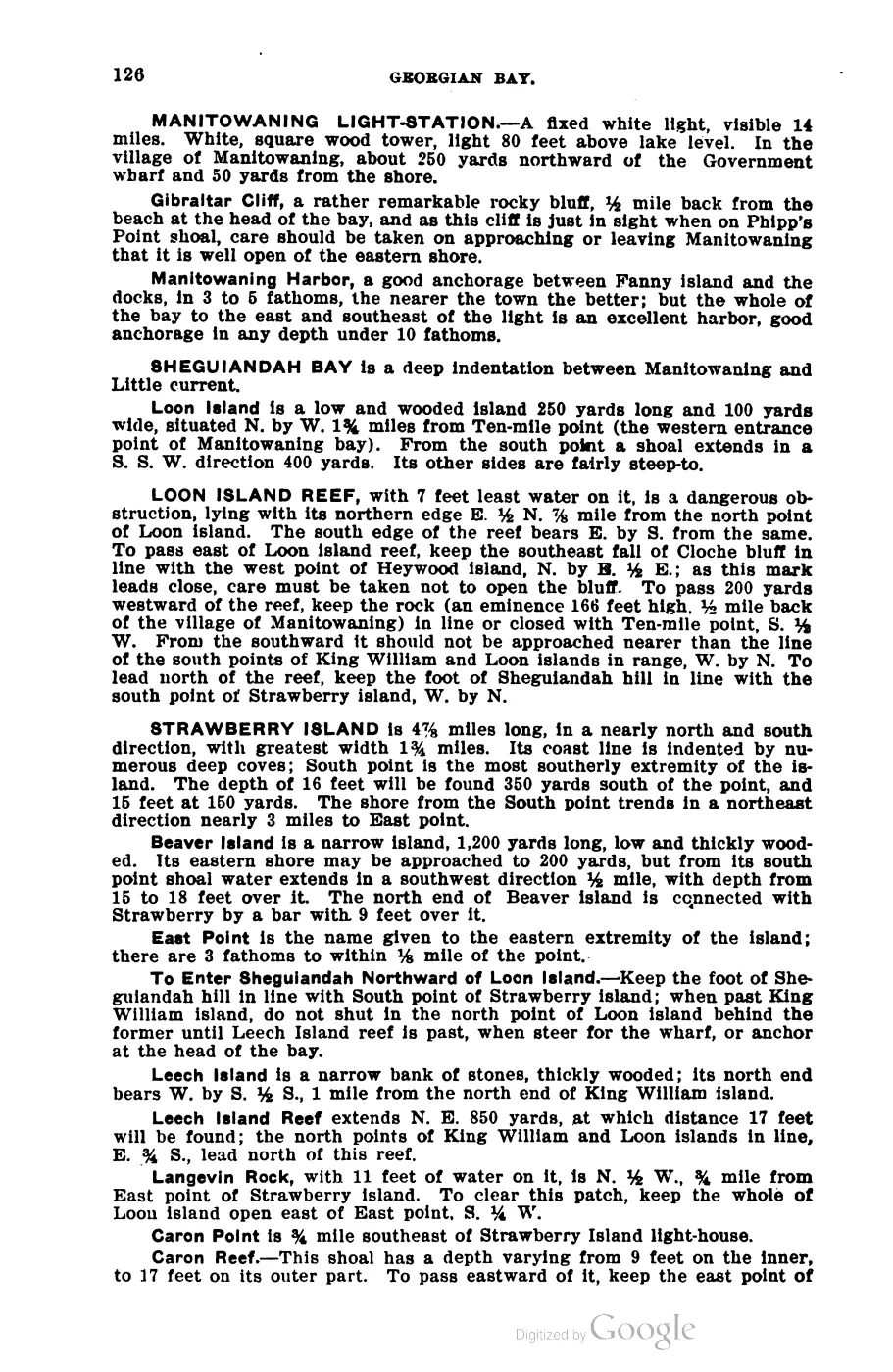
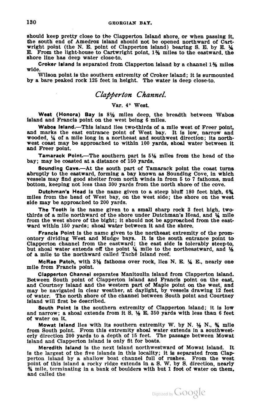
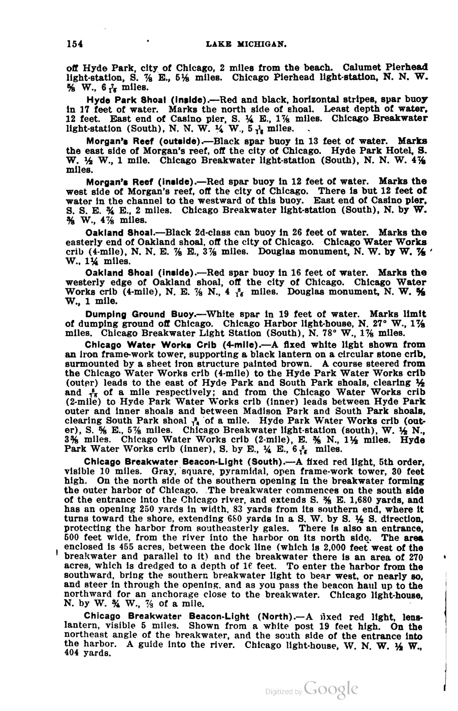
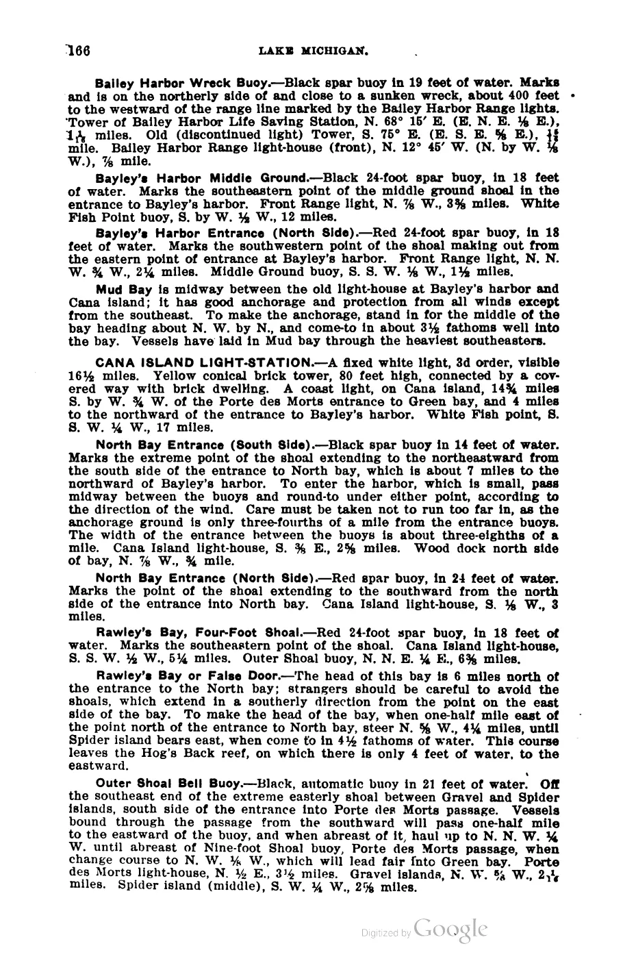
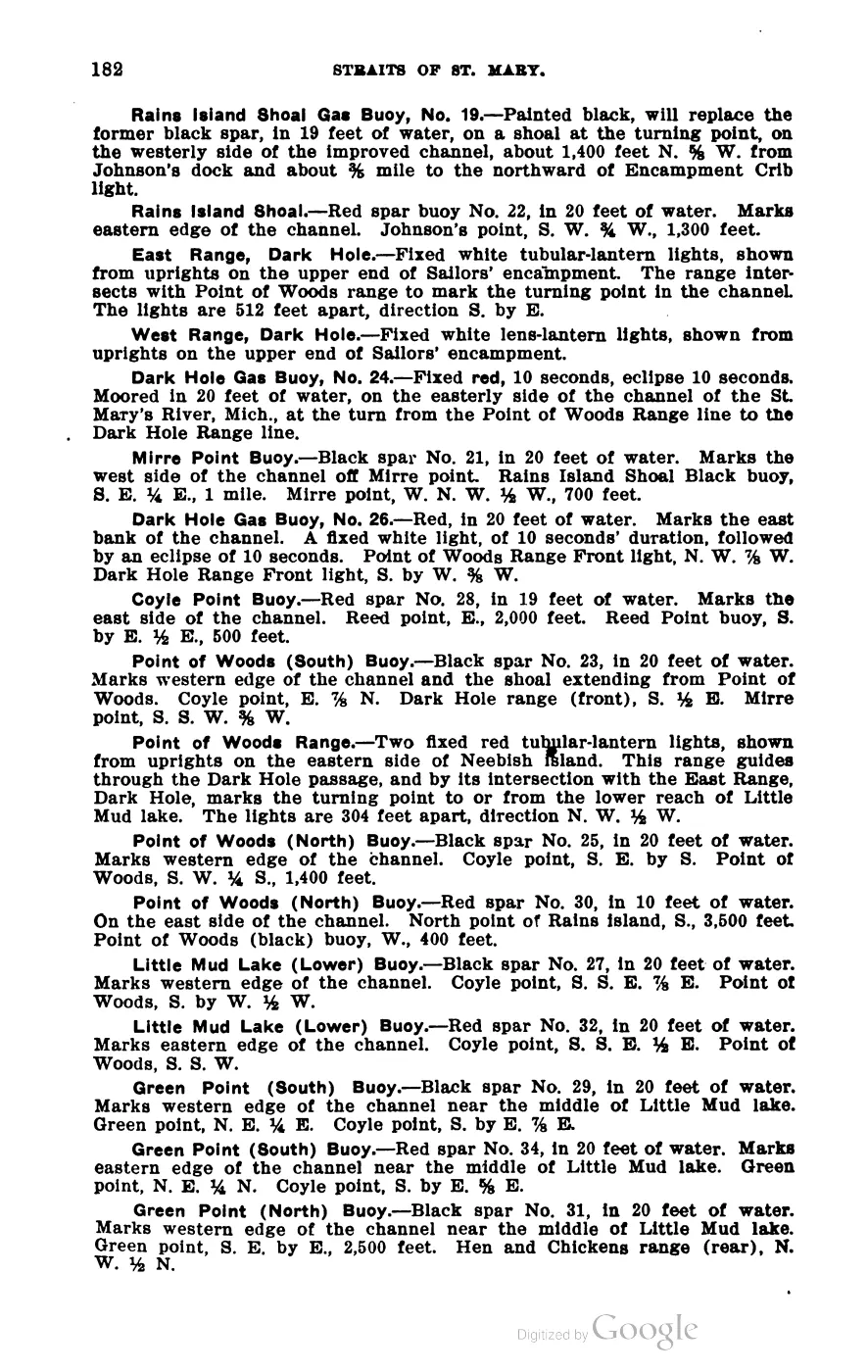
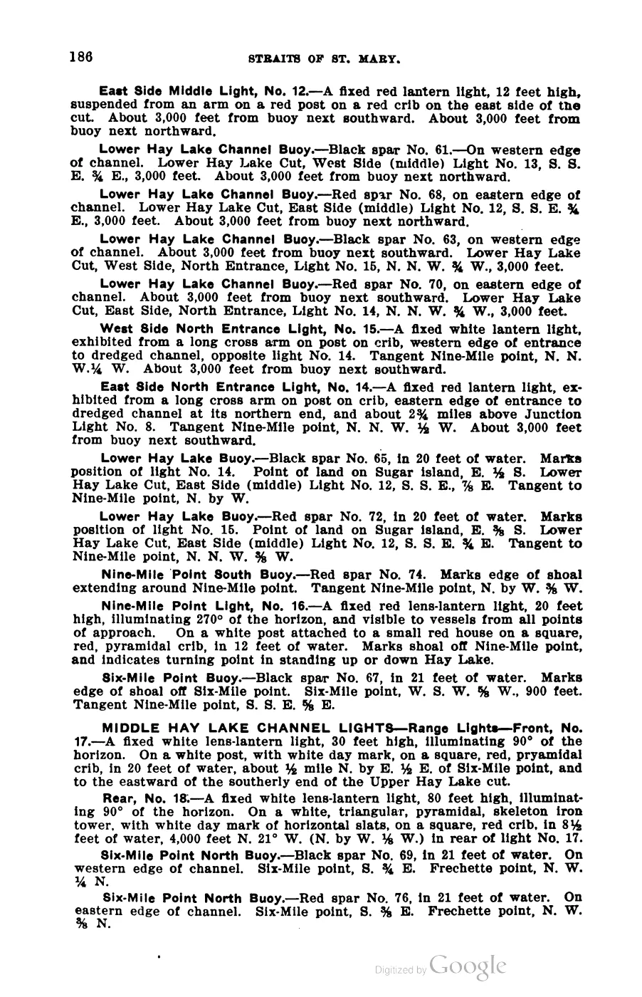
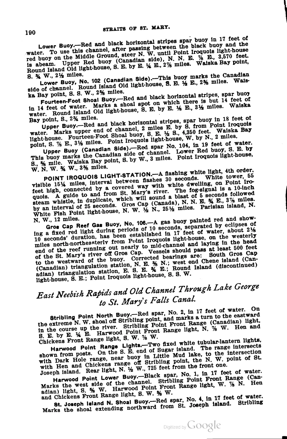
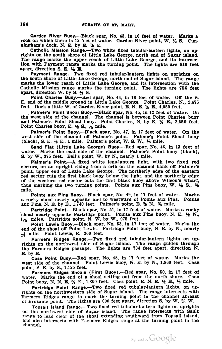
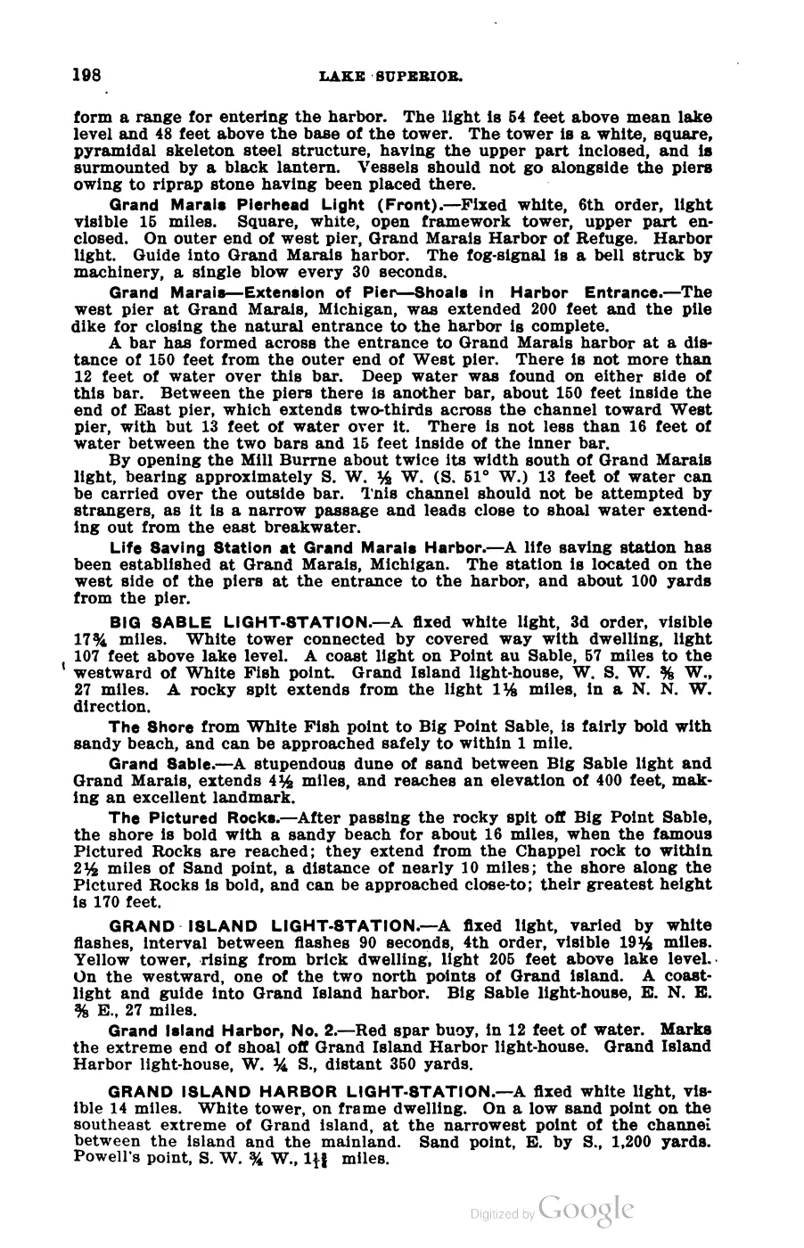
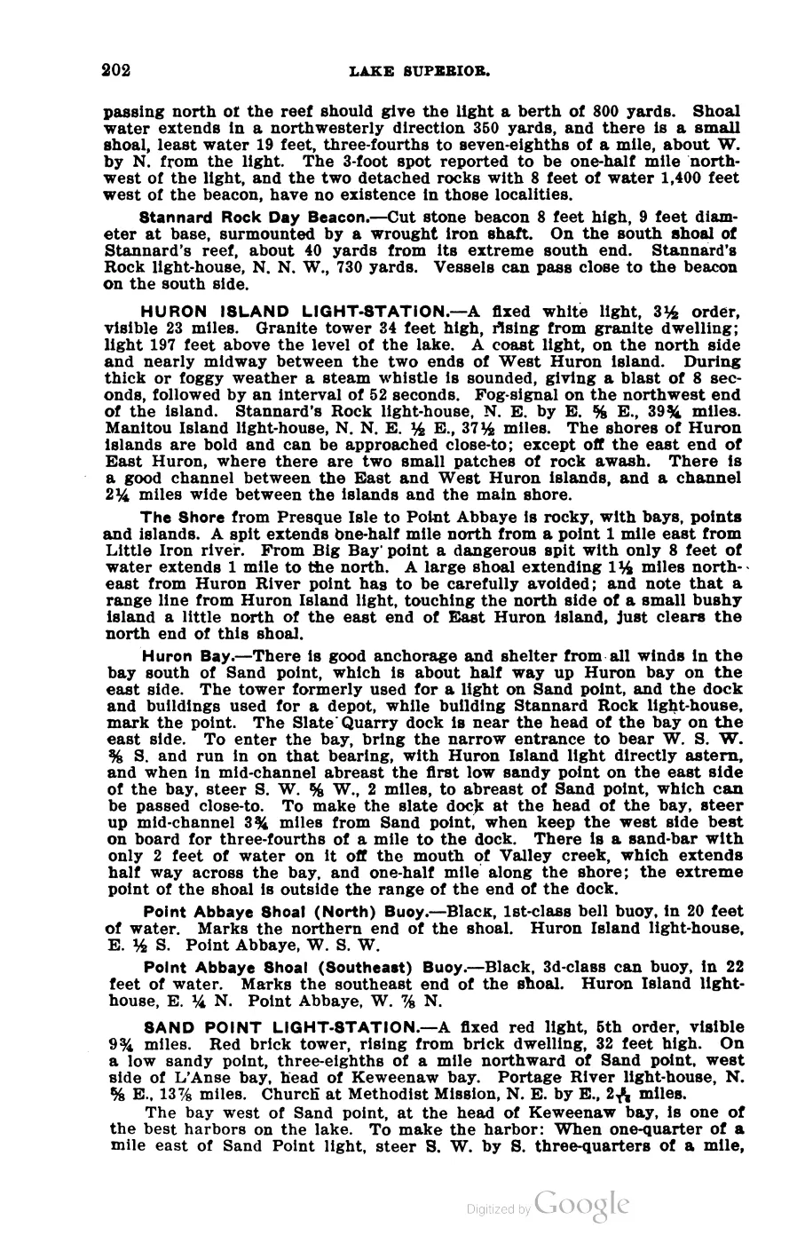
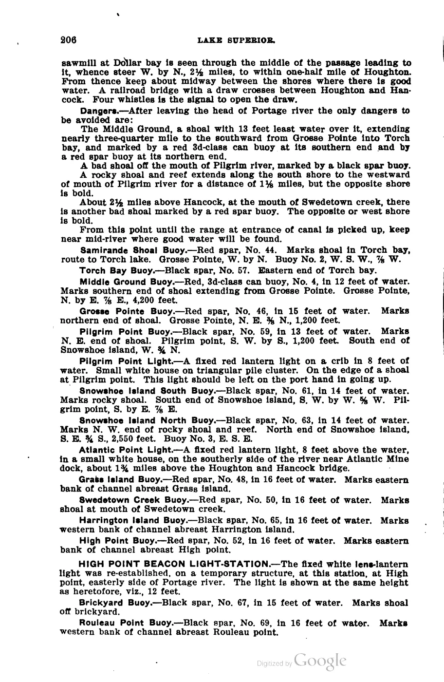
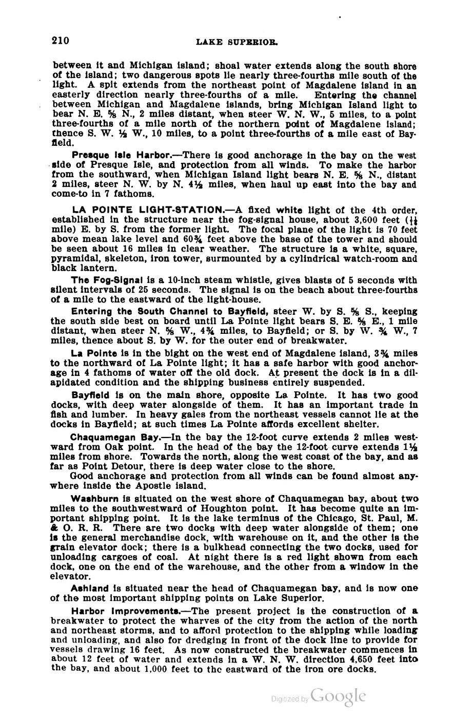
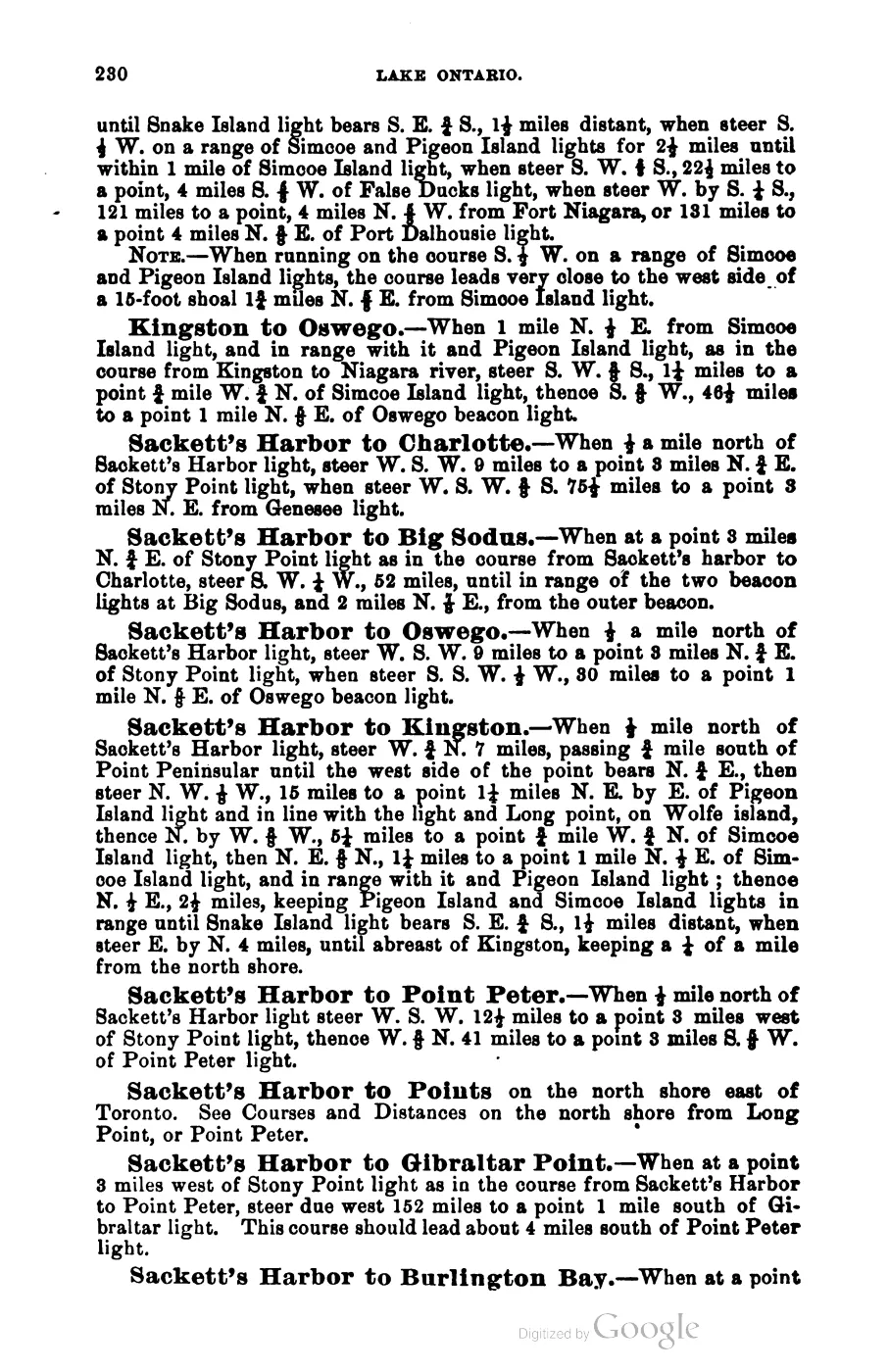
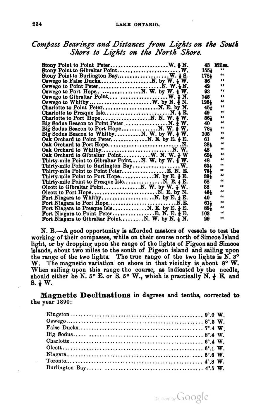
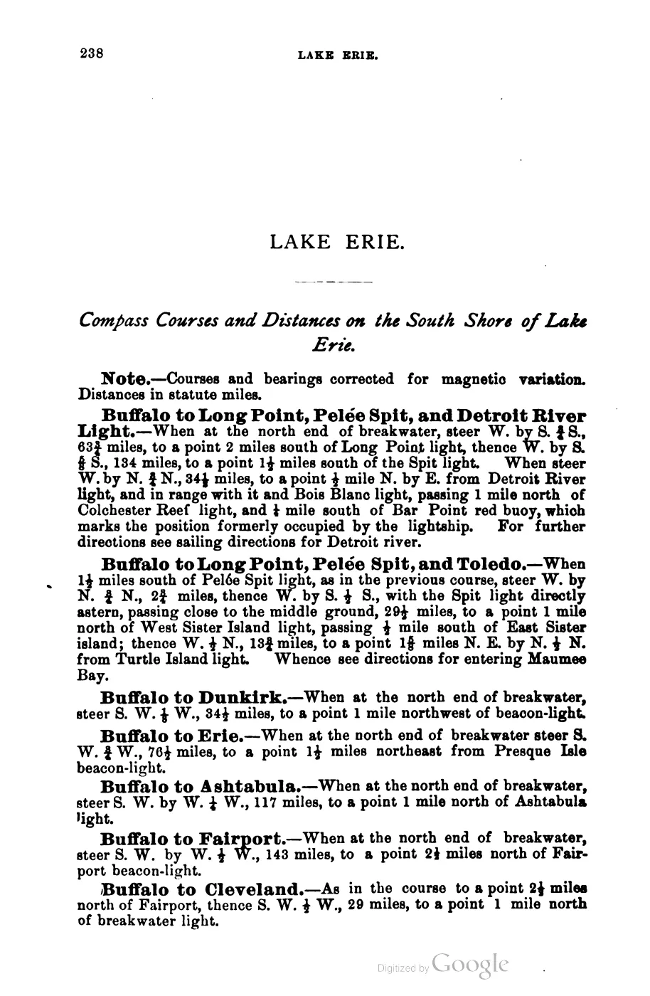
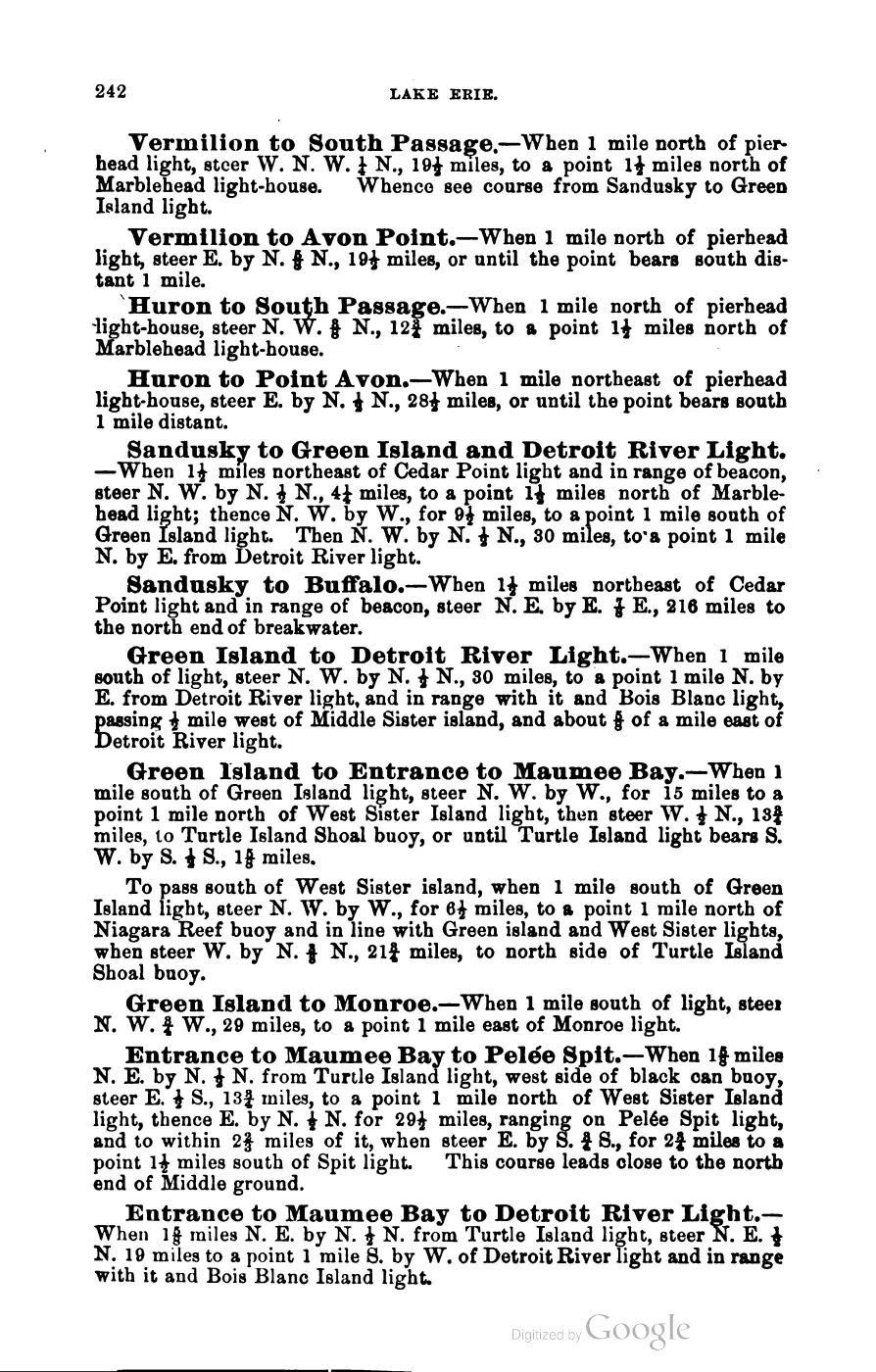
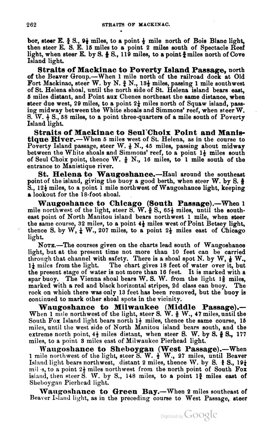
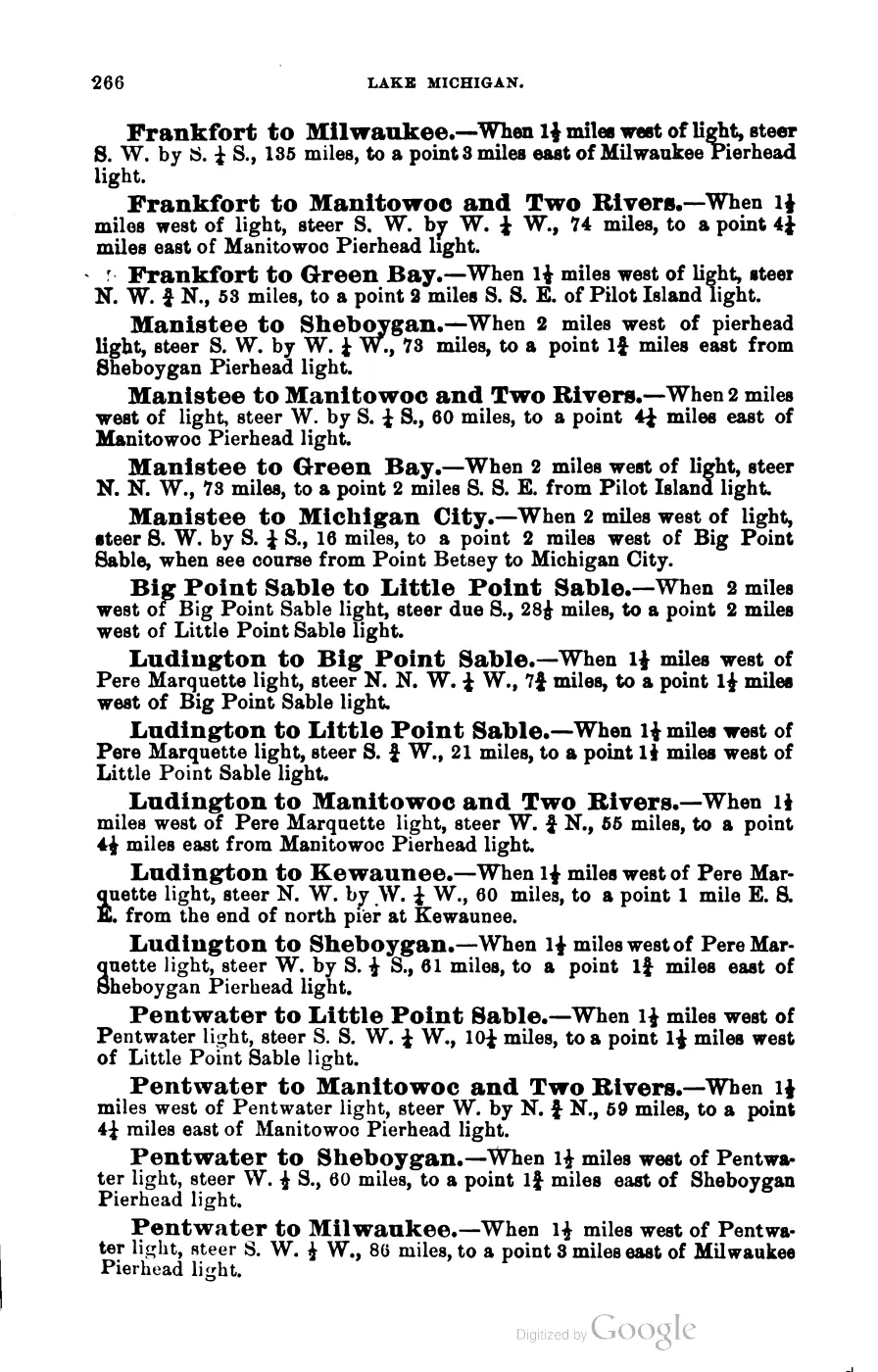
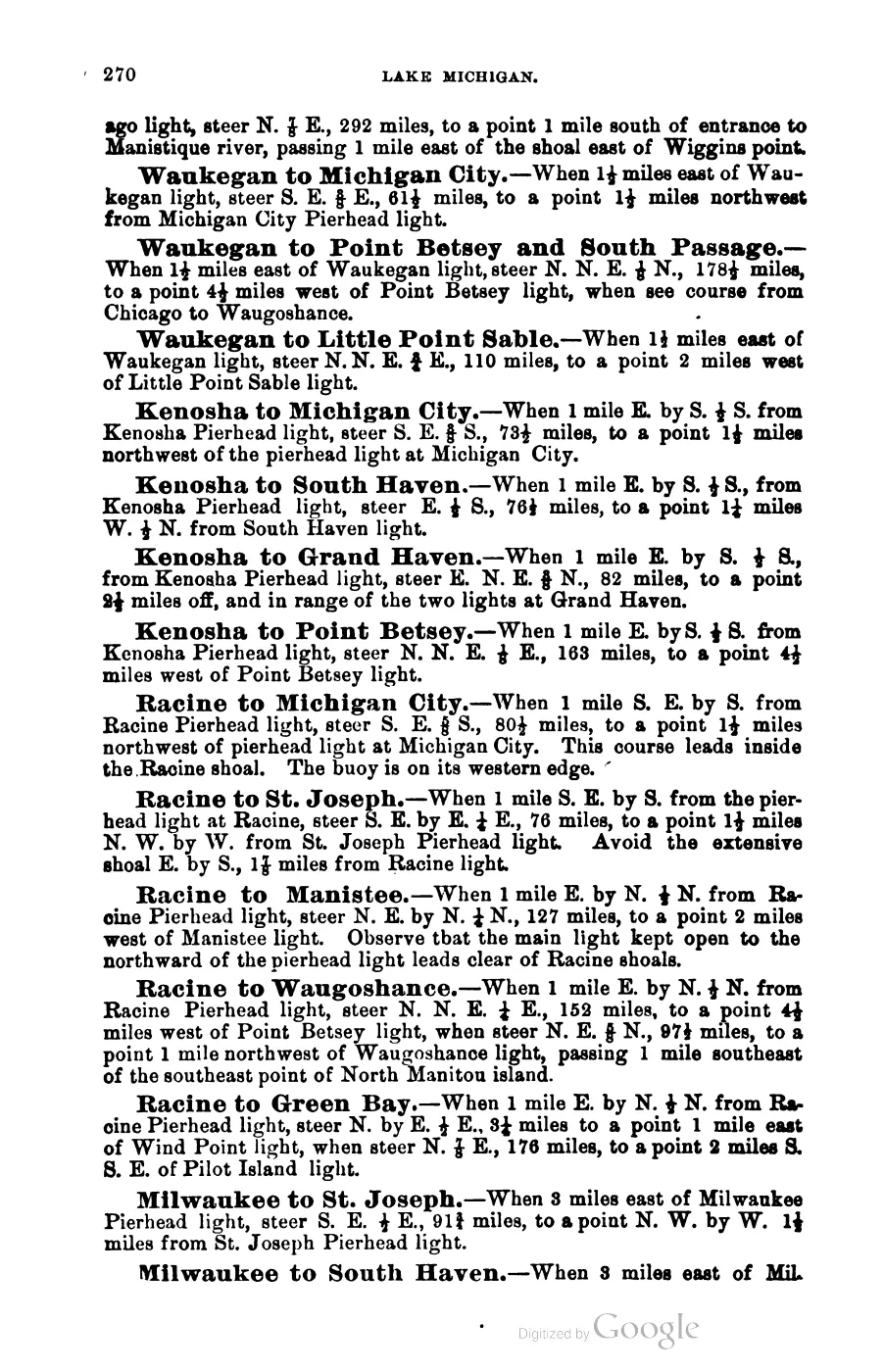
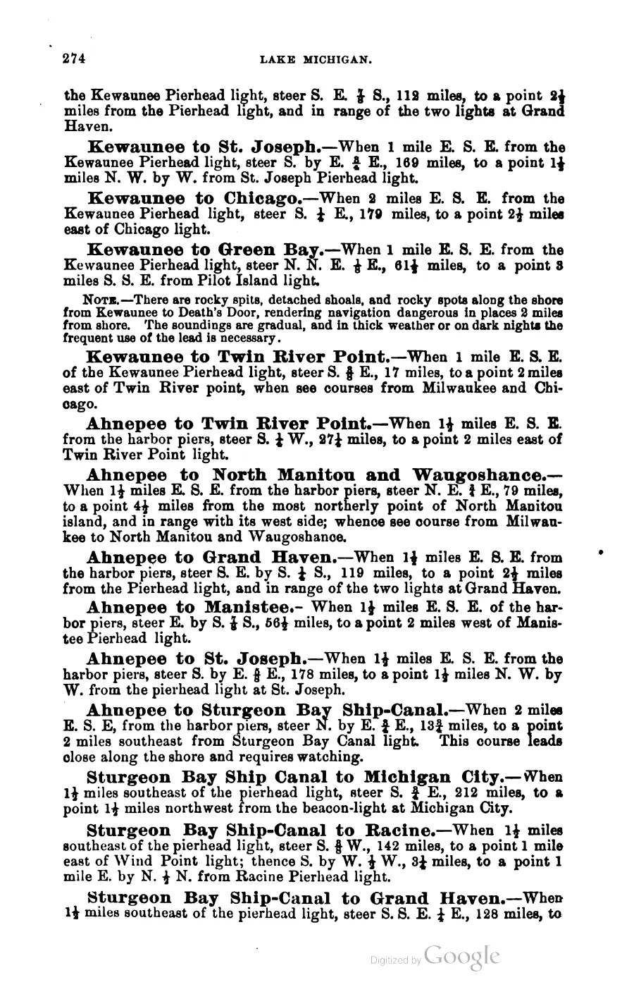
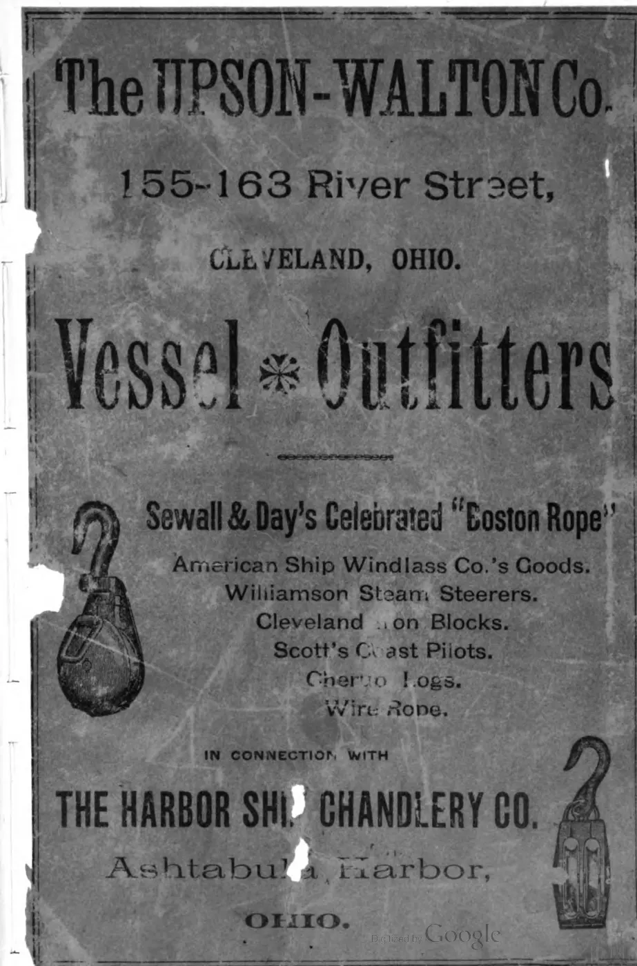
- George Scott, *Scott's New Coast Pilot for the Lakes*, 6th ed. (1902), pp. 190-192.Describes Whiskey Island Shoal among the buoyed hazards of the Beaver Island group; this is navigational context, not a claim that the shoal and island are the same feature. No public copy of this file is known; the archive holds one and can provide it on request.local_documents · 1902_scott-new-coast-pilot-for-the-lakes-6ed
- Retrospective states that the schooner *Chandler Wells* was wrecked near Whiskey Island in 1884 and that the ship and lumber cargo were lost.data1 · beaver-island-archive · beaver_beacon · 1961-12_Beaver-Beacon
- The held six-page issue scan is paired with the OCR source and confirms the published notice or report; it does not expand the source-specific identity, event, or outcome claims.data1 · beaver-island-archive · scans · beaver_beacon · issues · 1961-12_Beaver-Beacon
- Charlevoix Courier, 1977, discussion of Beaver Island transportation routes.Uses Whiskey Island as a geographic reference in a proposed route between Beaver Island and Skilagalee. No public copy of this file is known; the archive holds one and can provide it on request.
- Bureau of Land Management, General Land Office Records, Field Note Volume 168138, pp. 0179–0180, T40N R11W, Whiskey Island survey and general description, 1849.Described in this archive: BLM GLO field-note volumes linked to Beaver Island-area surveys.Visual page-image verification. The original pages identify Whiskey Island and record 1849 fishing shanties, a surveyor-described Indigenous/French fishing community, shore and landing observations, low stony relief, thin soil, vegetation, and burning/cutting. These are time-bounded observations, not a claim about modern community membership, ownership, title, access, current habitat, or a complete ecological history. No public copy of this file is known; the archive holds one and can provide it on request.federal · glo_field_notes · page_evidence · field-note-volume-168138-page-0179-whiskey-island-survey
- Described in this archive: Visually verified GLO survey observations of archipelago soils, terrain, and trees, 1845–1849.Includes separate 1849 Whiskey pages 0179 and 0180, preserving the shanty observations separately from the later general description of soil, vegetation, and disturbance. The holder's public portal is searchable but does not link this record directly; the archive holds a copy of the file and can provide it on request.research · land_cover · crosswalks · glo_ecology_crosswalk_1845_1849
- Project-generated explicit GLO section references joined to PLSS context.Described in this archive: Explicit GLO section references joined to PLSS context, 1847–1849.Carries Whiskey page 0179 section 36 as an exact held PLSS match; the page records 5 or 6 Indian shanties and a fisherman’s shanty. No public copy of this file is known; the archive holds one and can provide it on request.research · land_cover · crosswalks · glo_explicit_section_context_1847_1849
- Project-generated Whiskey Island ecology, wildlife context, and cormorant-study evidence (2010–2017).Described in this archive: Whiskey Island ecology, wildlife context, and cormorant study evidence.Separates the 2017 MDNR mixed-conifer/balsam-fir/aspen baseline and survey gap from the direct 2010 Hat/Whiskey cormorant field study, including nest counts and modeled prey results. It is not a current colony trend or complete island inventory. No public copy of this file is known; the archive holds one and can provide it on request.research · wildlife · indices · whiskey_island_ecology_2010_2017
- "The Chandler Wells," by Mike Weede, Beaver Beacon, July 2008.Feature narrative giving the Chandler Wells's build (Quayle and Martin shipyard, Cleveland, 1866, official number 9274), her conversion from barkentine to barge under tow by the steam propeller Keystone, the 20 November 1884 wreck sequence off Whiskey Island's west side and shoal, the eight-man crew's rescue by the Life Saving Service, and subsequent islander salvage of drifted lumber. No public copy of this file is known; the archive holds one and can provide it on request.
- "A 1976 Salvage Adventure," Beaver Beacon, April 2009.First-person recollection of retired Navy diver Jim Sawtell's 1976 attempt to salvage the Chandler Wells's centerboard and centerboard well from the Whiskey Island shoal; does not state whether the salvage was completed. No public copy of this file is known; the archive holds one and can provide it on request.
- Beaver Beacon, April 2005, reprinted verse item concerning a Captain Campbell mail run.An undated reprinted item has a character, Sherman, 'landed on Whiskey Island' and picked up by a Charlevoix tug during an icebound mail run; the item's own date, authorship, and factual status are not established. No public copy of this file is known; the archive holds one and can provide it on request.
- First-person account of a February 16, 1970 snowmobile trip from Indian Point to Whiskey Island over rough pack ice; describes the island as about a mile long and a quarter mile wide, thick with rabbit sign and browsed cedar, and continues to Squaw and Garden Islands. Names Archie LaFreniere, Russ Green, Bill Wagner, and Sheldon Parker among the party of five; the narrator is not named.
- "Forty Years Ago," Beaver Beacon, February 2010.Retrospective on the February 1970 snowmobile trip names a fifth party member, Phil Gregg, and adds that no rabbit sign was found on Squaw Island that day. No public copy of this file is known; the archive holds one and can provide it on request.
- Reports that the barge Mackinaw Islander, under tow from Port Inland toward Charlevoix with crushed stone, began settling as it passed Whiskey Island on 9 October 1963 and made for St. James harbor, where it settled on the bottom before being pumped out and re-floated.
- Beaver Beacon, October 2009, Peaine Township trustee report.Records that phragmites spraying could not be extended to a patch on Whiskey Island because 'the owner of Whiskey Island did not respond to attempts to secure his permission,' establishing the island was privately owned as of October 2009. No public copy of this file is known; the archive holds one and can provide it on request.
- Beaver Beacon, June 2010, St. James Township board report.Reports the board's discussion of acquiring Whiskey Island for $13,087 in unpaid back taxes -- the owner had purchased it twenty years earlier for $175,000 from the bankrupt MacCormack Corporation -- with the stated intent to trade it to the DNR for the Sheriff's Substation property. No public copy of this file is known; the archive holds one and can provide it on request.
- Beaver Beacon, July 2010, News from the Townships, St. James Township.Reports that the Registrar of Deeds was ready to record the title to Whiskey Island for St. James Township. No public copy of this file is known; the archive holds one and can provide it on request.
- Beaver Beacon, September and October 2010, News from the Townships.Reports a petition of about 200 signatures opposing the proposed trade of Whiskey Island to the State, and divided township board opinion on the island's value; one board member called it a resource being undervalued, another said it 'provides nothing not offered by other nearby islands.' No public copy of this file is known; the archive holds one and can provide it on request.
Added 28 July 2026 · revised 5 August 2026. Recent changes
Cite this article
Beaver Island Archive, “Whiskey Island”, https://beaverislandarchive.org/places/whiskey-island/, accessed [date], citing OpenStreetMap contributors, island polygons via Overpass API, retrieved 2026-07-28 (ODbL 1.0). (and 18 further sources listed on the page).
Last revised 2026-08-05. Fill in [date] with the date you read it — this page is static and cannot know that.