

- Date
- 1959-01-01
- Eras
- Modern era
- Concepts
- soilsgeologyforestsvegetationwildlifewetlandsconservationcartography
- Within
- Beaver Island archipelago · Beaver Island · Garden Island · High Island · Hog Island · Whiskey Island · North Fox Island · South Fox Island
Summary
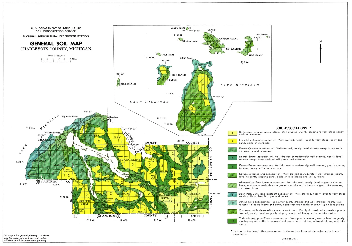
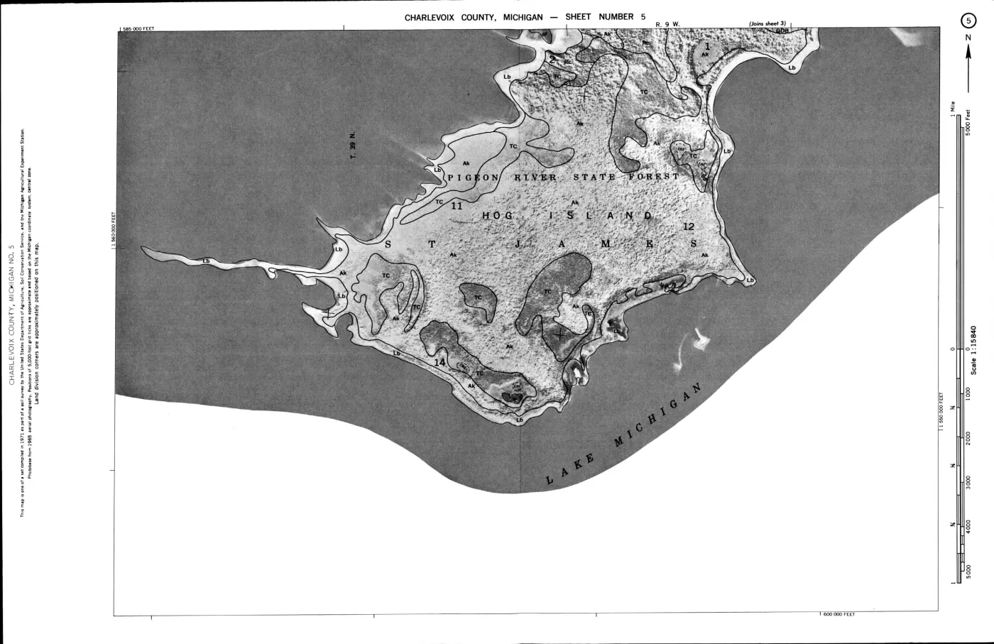
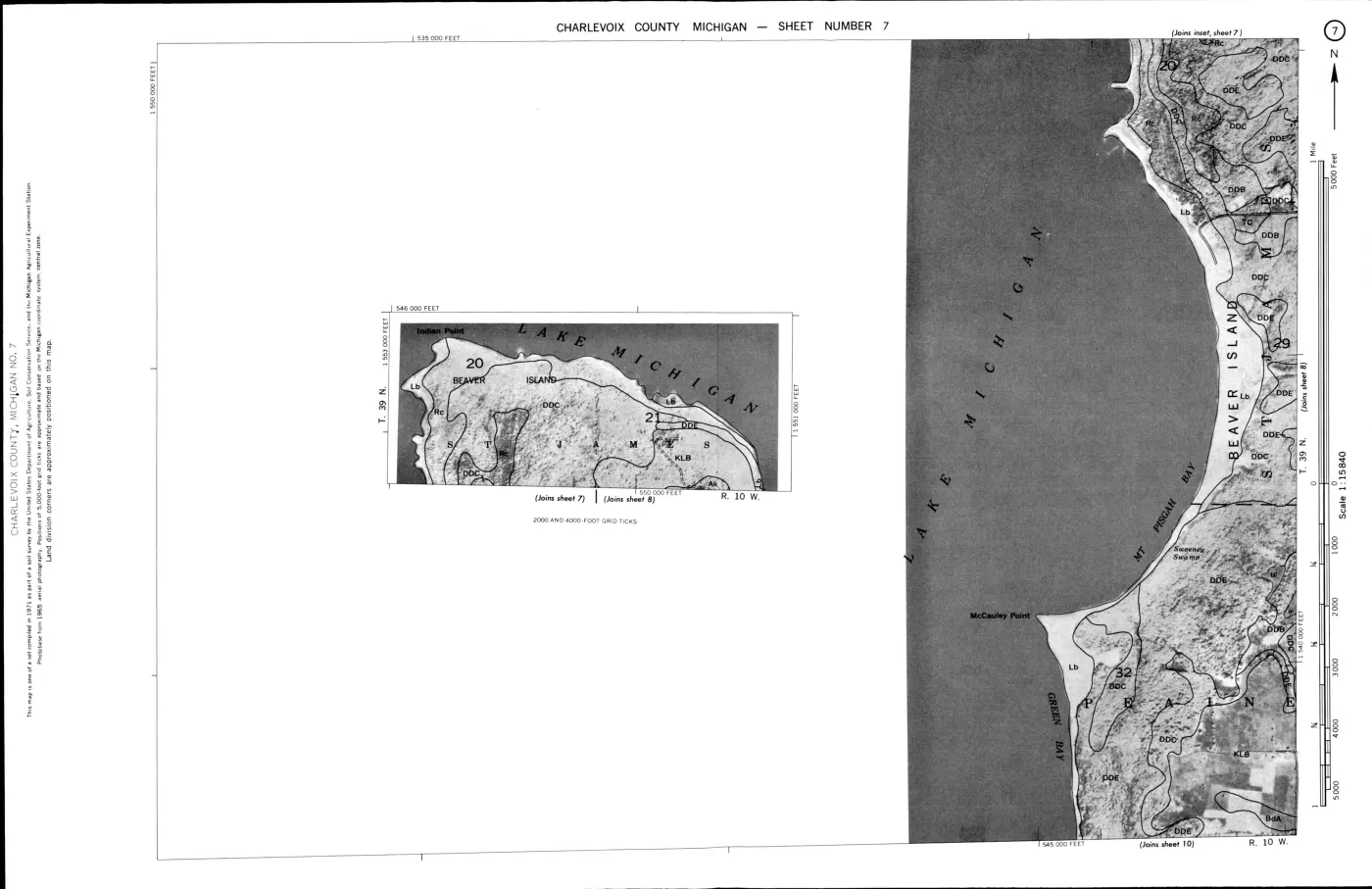
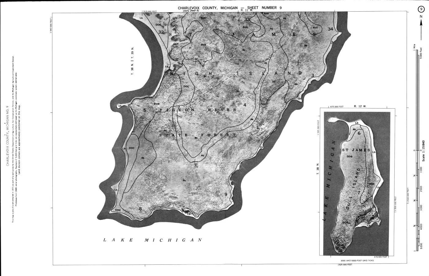
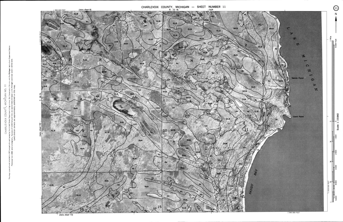
This crosswalk connects the 1974 USDA soil survey’s wildlife-habitat ratings to the held SSURGO map units that intersect seven named islands: Beaver, Garden, High, Hog, Whiskey, North Fox, and South Fox. It makes a useful bridge between soil conditions, woodland and habitat suitability, and island geography while keeping the two source systems distinguishable.
The join covers 61 SSURGO map units by exact map symbol, 18 more as soil-series-name candidates, and 7 with no corresponding row or series name in the held USDA Table 4 index. The candidate tier is especially important for the Fox Islands, whose MI089 map-unit symbols differ from the Charlevoix County symbols used in the 1974 table. The component tables add 283 component records: 197 resolve to a unique USDA series row, 63 remain within multi-row USDA series families, and 23 have no matching series in the held USDA index.
Island summary
| Island | SSURGO map units | Exact symbol | Series-name candidate | Unmatched |
|---|---|---|---|---|
| Beaver Island | 33 | 31 | 1 | 1 |
| Garden Island | 7 | 6 | 0 | 1 |
| High Island | 13 | 12 | 0 | 1 |
| Hog Island | 6 | 5 | 0 | 1 |
| Whiskey Island | 2 | 2 | 0 | 0 |
| North Fox Island | 12 | 3 | 8 | 1 |
| South Fox Island | 13 | 2 | 9 | 2 |
Counts are map units, not acres, species, or habitat occurrences. The JSON also preserves each map unit’s intersected area, polygon count, SSURGO symbol, map-unit name, and survey area.
Three join tiers
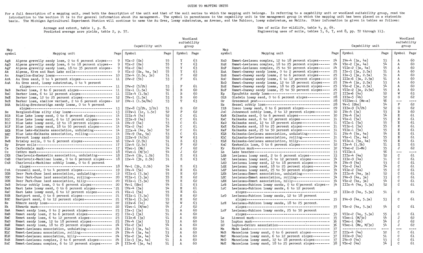
An exact map-symbol join means that the SSURGO musym, case-folded, is
explicitly present in a scan-verified USDA Table 4 row. Examples include
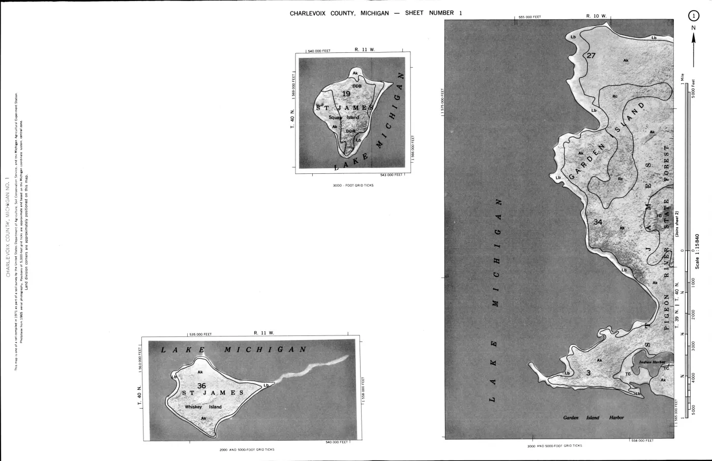
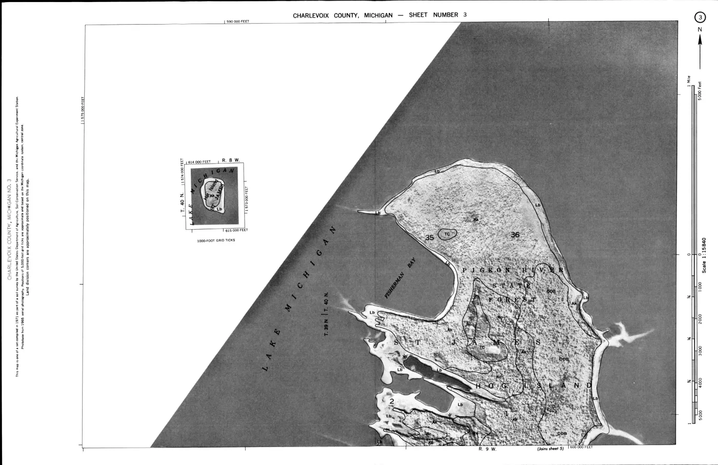
Beaver’s Rc Roscommon, Ca Carbondale, Gr Greenwood, DDB/DDC/DDE
Deer Park, and TC Tawas map units. The crosswalk carries the USDA row’s 11
verified columns forward, but marks composite, association, complex, and
undifferentiated map units with a caveat.
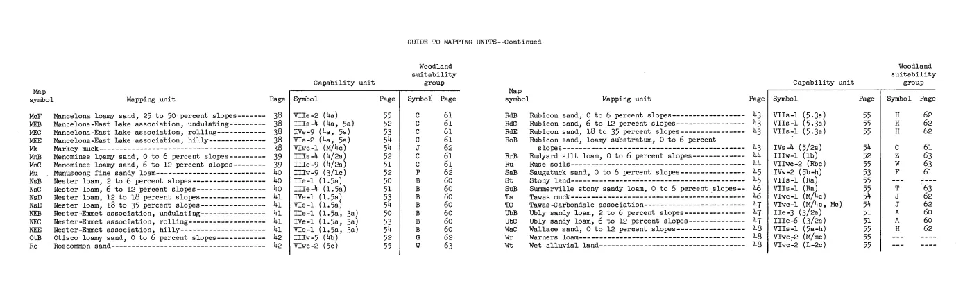
A component-series join reads held SSURGO comp.txt records keyed to a
map-unit mukey. It records the component name and representative percentage.
When one component name resolves to one USDA series row, that row’s historical
ratings are exposed at component level. When a series has several USDA rows—as
Emmet, Leelanau, Mancelona, Nester, and related families do—the candidates
remain separate and no single rating is selected.
A soil-series-name candidate means the SSURGO muname names a USDA series
but the symbol is not present in the 1974 table, or the map unit names several
components. These are map-unit review leads, not rating assignments. The
component tier now resolves many of those leads without flattening their
mixtures.
Fox Island connectivity
The crosswalk materially changes how the Fox Islands can be represented in the
ecology graph. North Fox has only three direct symbol matches—Lake beaches and
two East Lake units—but its component records resolve DkF and DkD as 100%
Deer Park, Du as 100% Dune land, DtB as 90% Detour, EaB/EaC as 90% East
Lake, and Ie as 50% Iosco plus 30% Epoufette. The Emmet-Omena units are 50%
Emmet but also contain Omena, which has no USDA row in this index.
South Fox has two direct matches—Eastport and Lake beaches—but the component
records resolve DkF and DkD as 100% Deer Park, Du as 100% Dune land, and
EdB as 93% Eastport. They also expose Leelanau/East Lake mixtures (LlB,
LlD, LlE), 70% Mancelona in MrB, 55% Kalkaska and 35% East Lake in KeB,
and 50% Mancelona, 30% East Lake, and 10% Kiva in MlD.
This is evidence of source coverage and a much stronger path for comparison. It still is not evidence that a Fox Island has one uniform habitat rating. The component percentages describe the SSURGO map-unit composition; they do not establish current forest or wildlife conditions, and multi-row USDA series families still require slope/map-symbol resolution before choosing a rating.
What the join supports
The crosswalk supports questions such as:
- Which islands contain SSURGO map units whose exact symbols have historical USDA ratings for woodland wildlife, wetland wildlife, coniferous plants, or wetland food and cover plants?
- Where do Fox Island map-unit names point toward the same soil-series families already described in the USDA table, even when symbols differ?
- Which soil settings can be compared with MNFI natural-community records, DNR forest stands, plant and tree indexes, GBIF observations, and bird or wildlife habitat studies?
It does not establish current forest composition, bird or mammal presence, nesting, abundance, parcel conditions, or management prescriptions. The USDA ratings describe suitability categories in a historical county soil survey; they are not field observations.
Evidence and limits
- SSURGO polygons and OSM island outlines are research layers, not legal boundaries or parcel determinations.
- Exact symbol matches can still be composite, association, complex, or
undifferentiated map units; the JSON preserves
mukindand an application note for every one. - Component-series joins can expose a unique USDA series row, but they do not assign that row’s historical rating to the entire composite map unit.
- Multi-row series families and unmatched component names remain candidates for review rather than being collapsed into a single rating.
Water,Lake bluffs,Wind eroded land, and the BeaverAusable- Winterfield-Tawascomplex illustrate why an unmatched or candidate result is not an absence claim.- The USDA survey reflects fieldwork from 1959–1962 and conditions generally described around 1966; SSURGO and OSM layers are later research snapshots.
Open questions
- Can MI089 component tables and map symbols resolve the remaining multi-row USDA series families to specific soil series and slopes?
- Which exact SSURGO components correspond to the USDA table’s conditional Onaway, Emmet, Leelanau, Mancelona, and association rows?
- How do direct and candidate map-unit connections compare with MNFI natural communities, DNR forest stands, and documented bird or wildlife occurrences?
Read the document
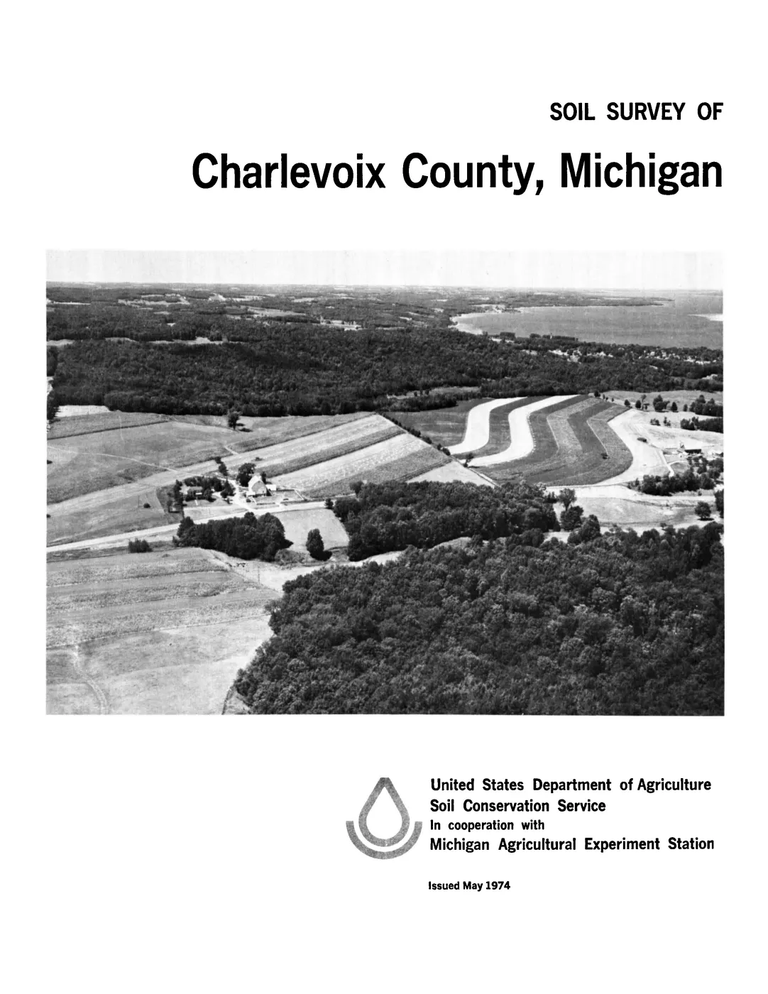
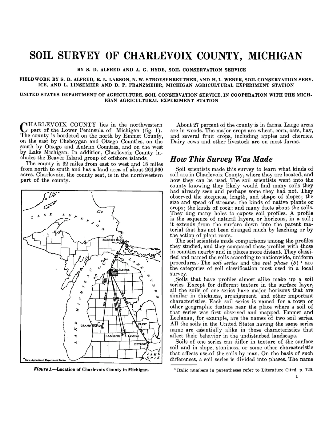
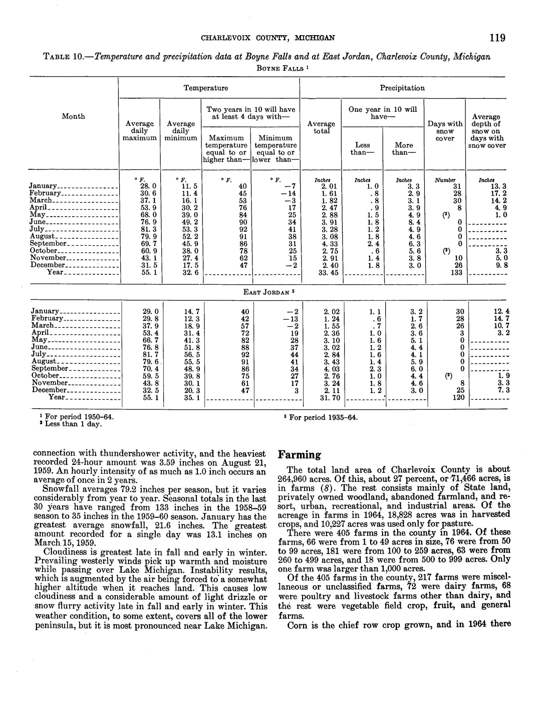
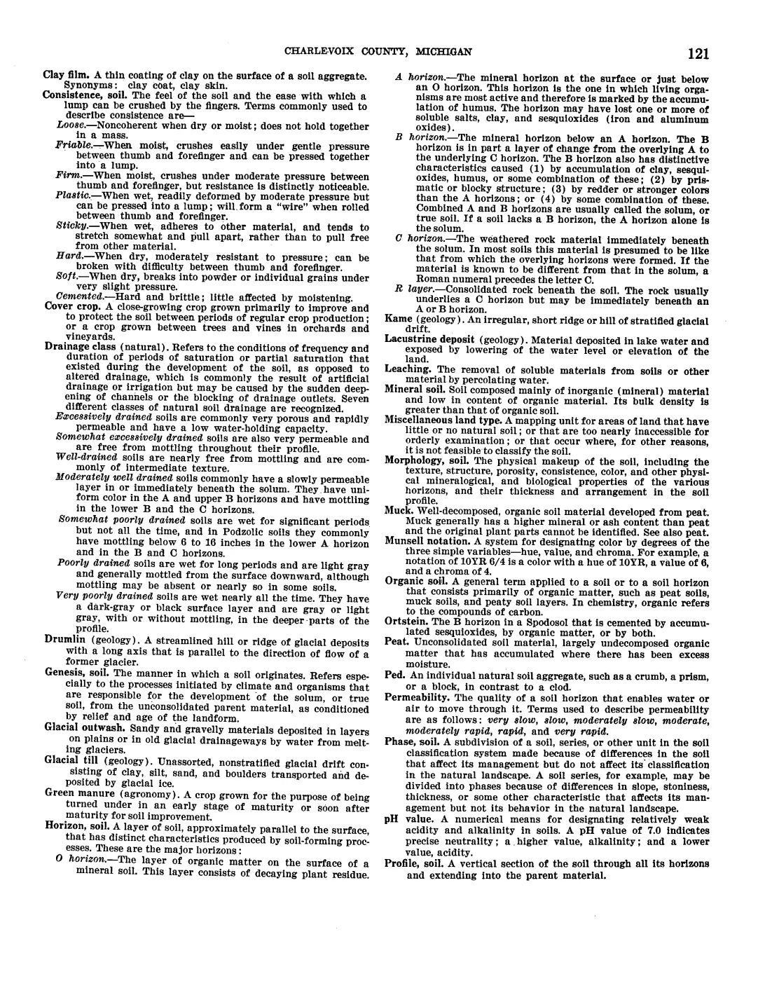
200 pages, rendered from the held scan.
Jump to a page — 200 in all

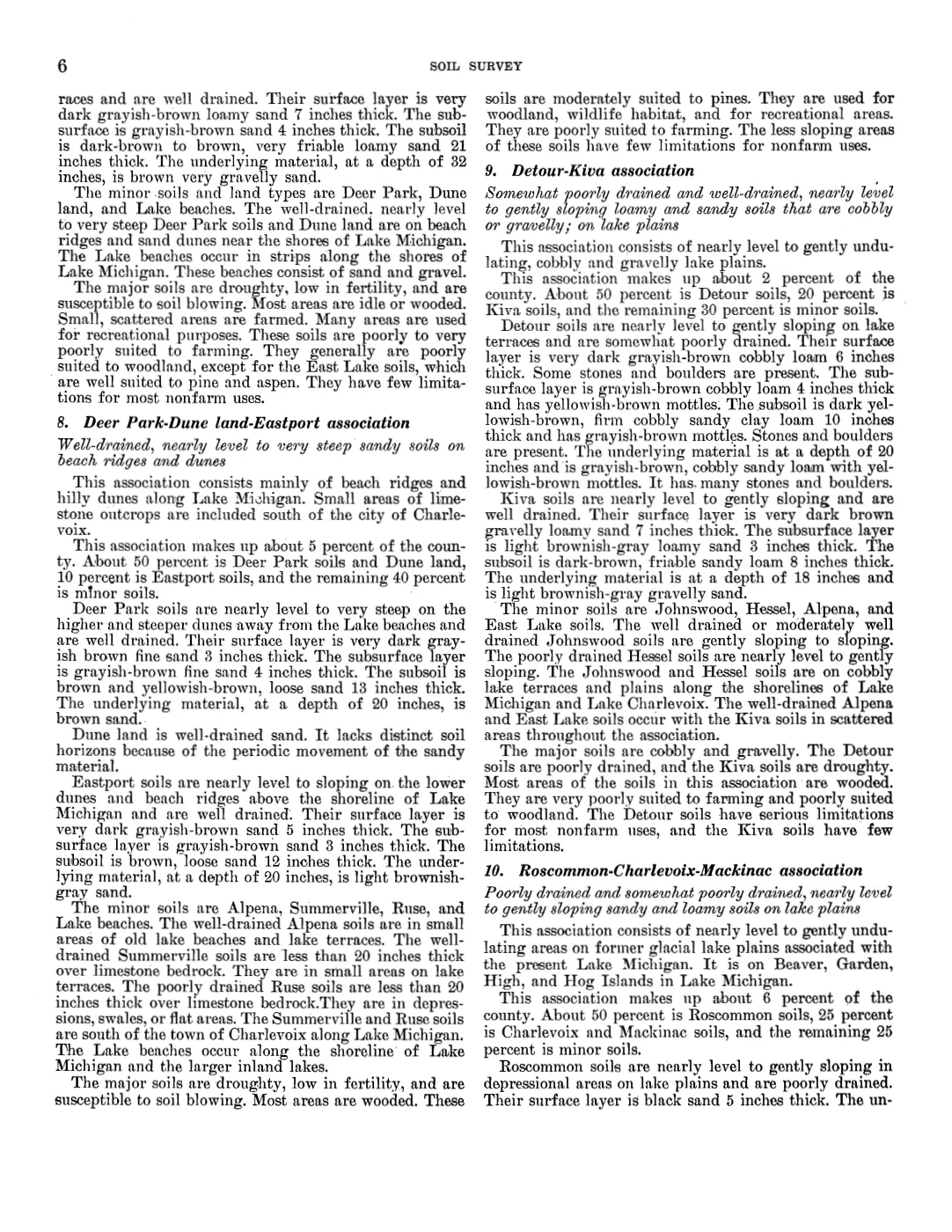
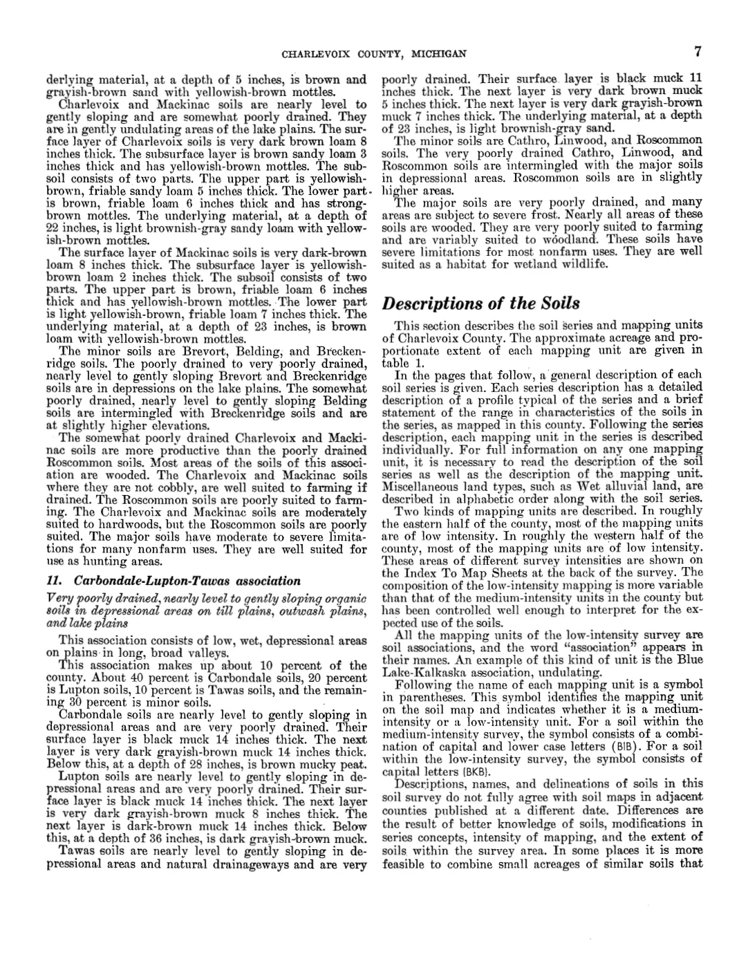
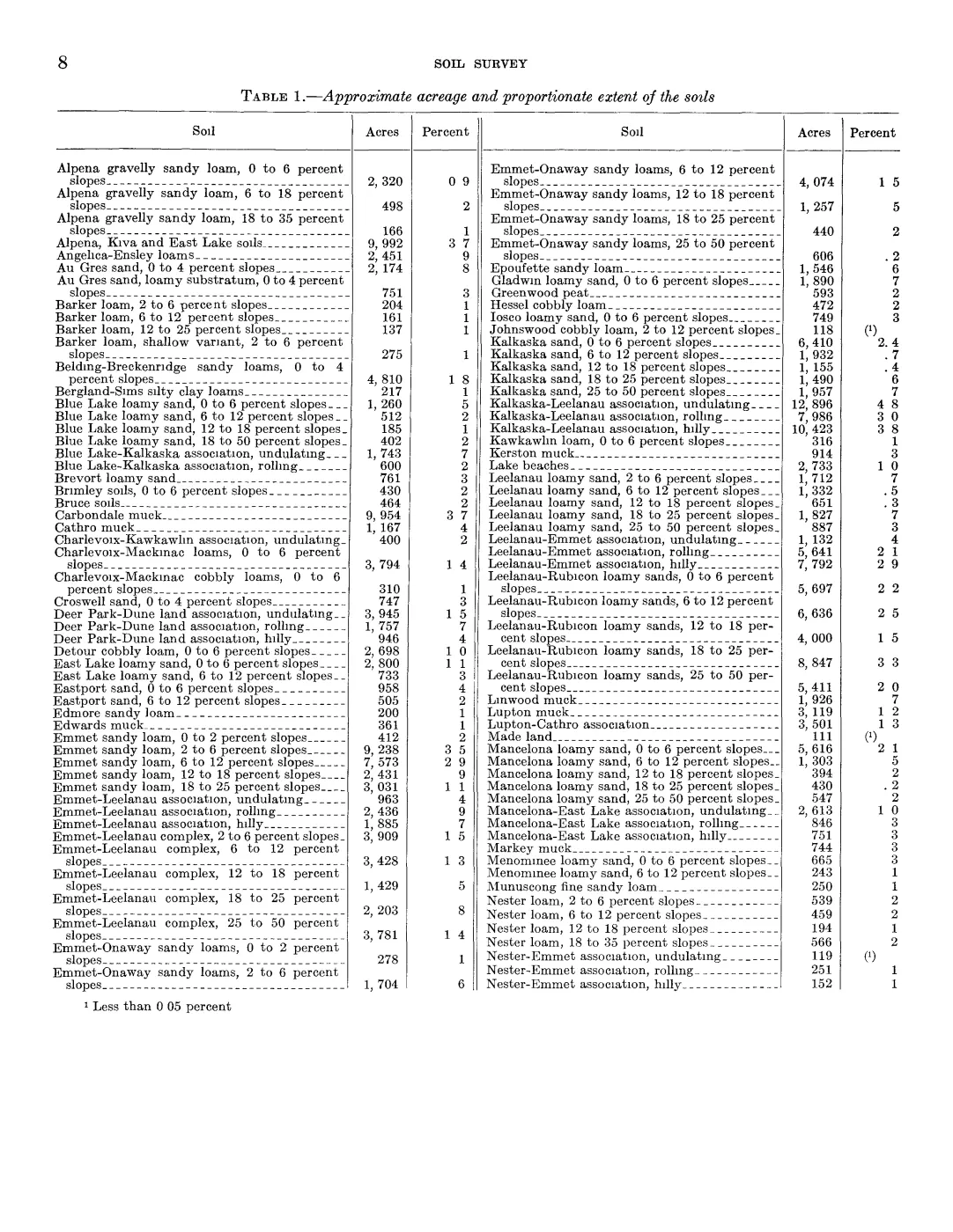
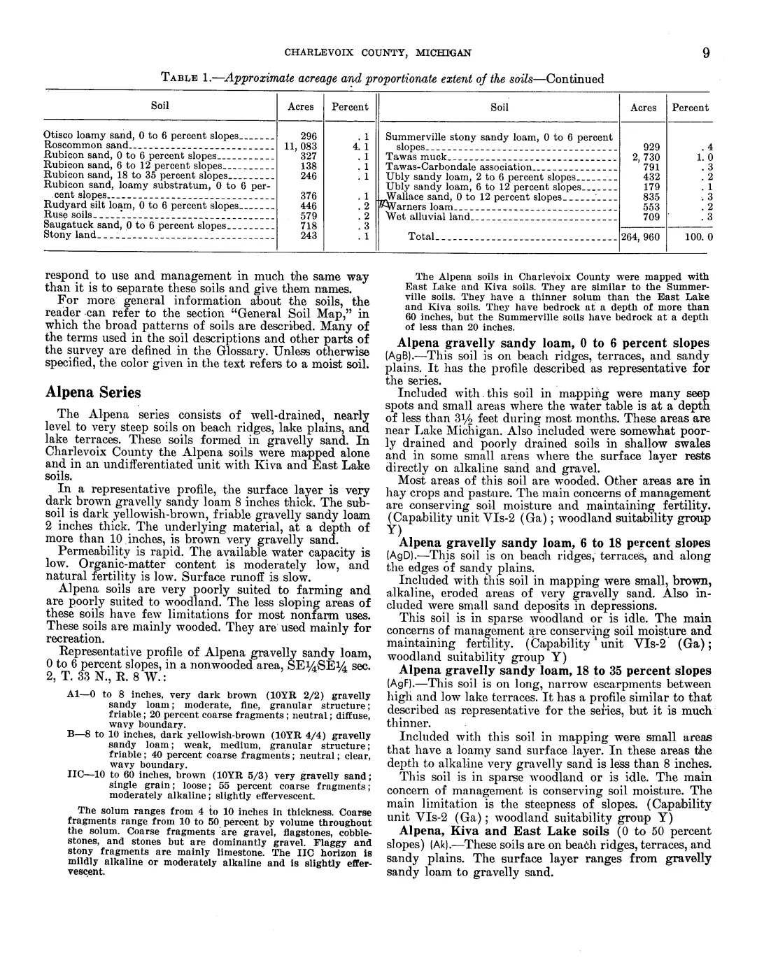
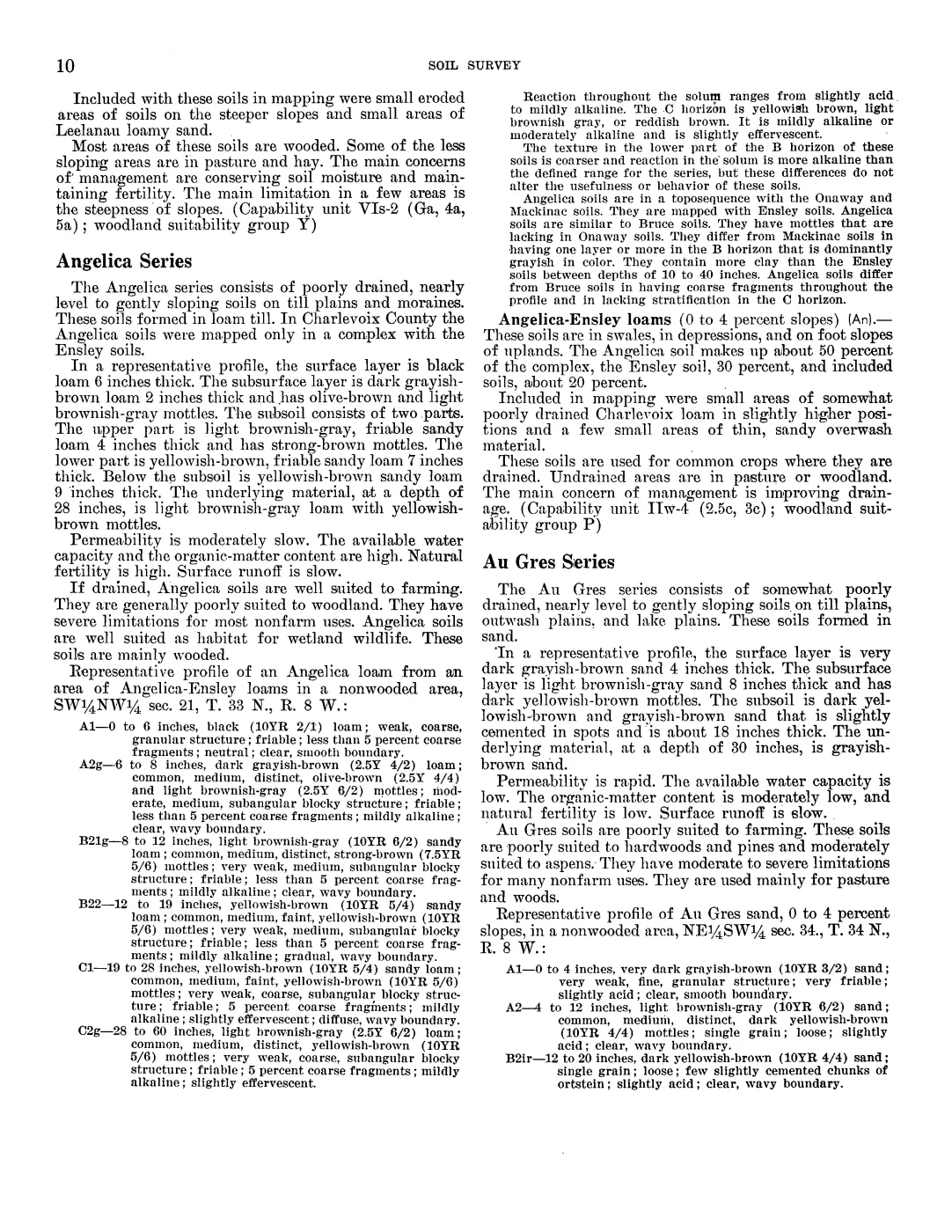
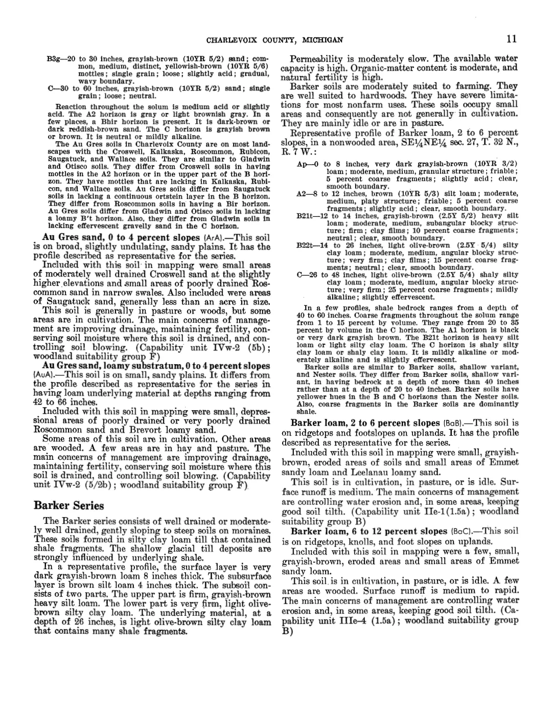
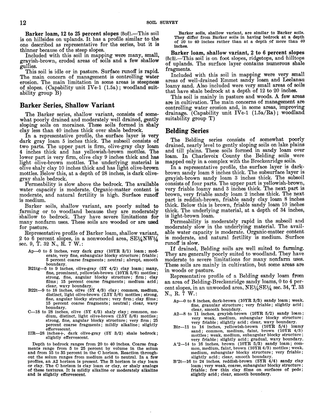
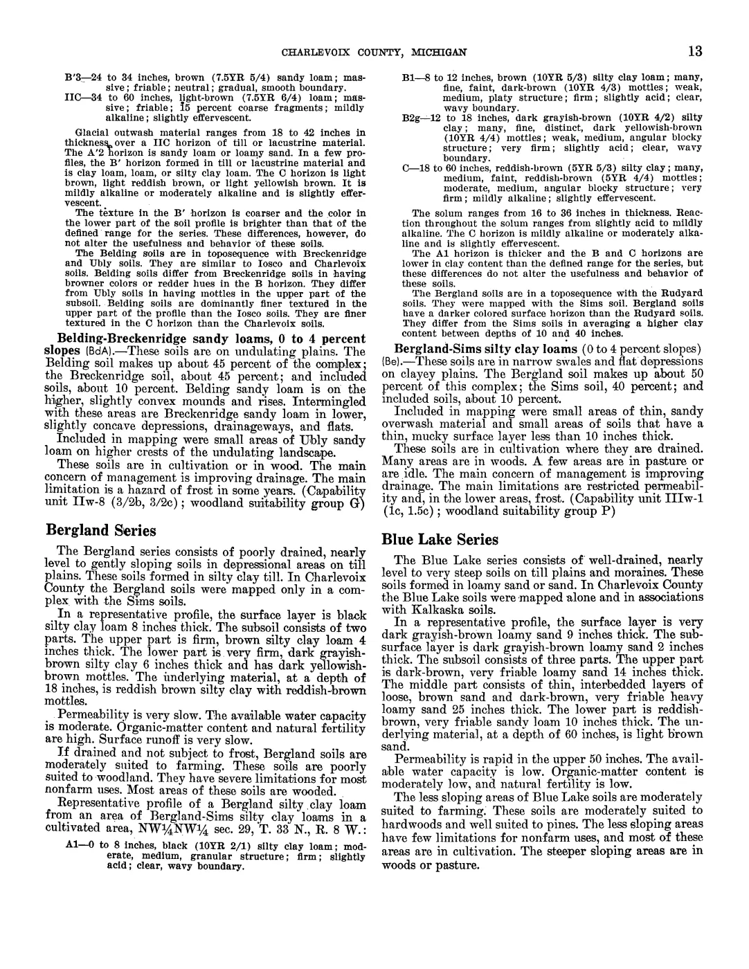
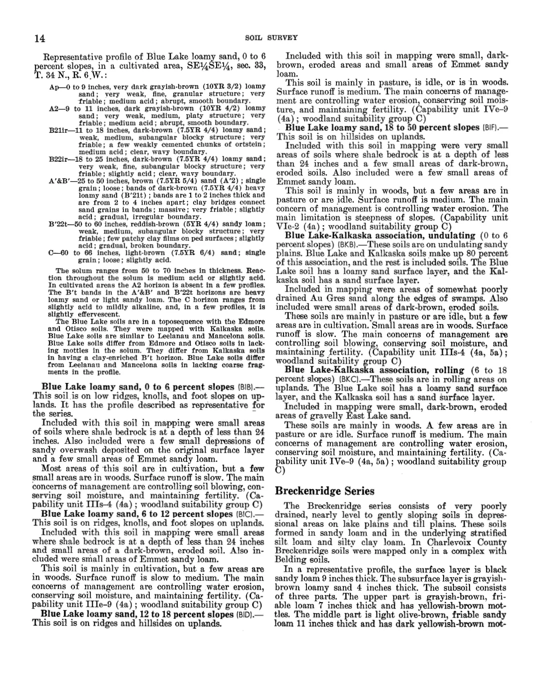
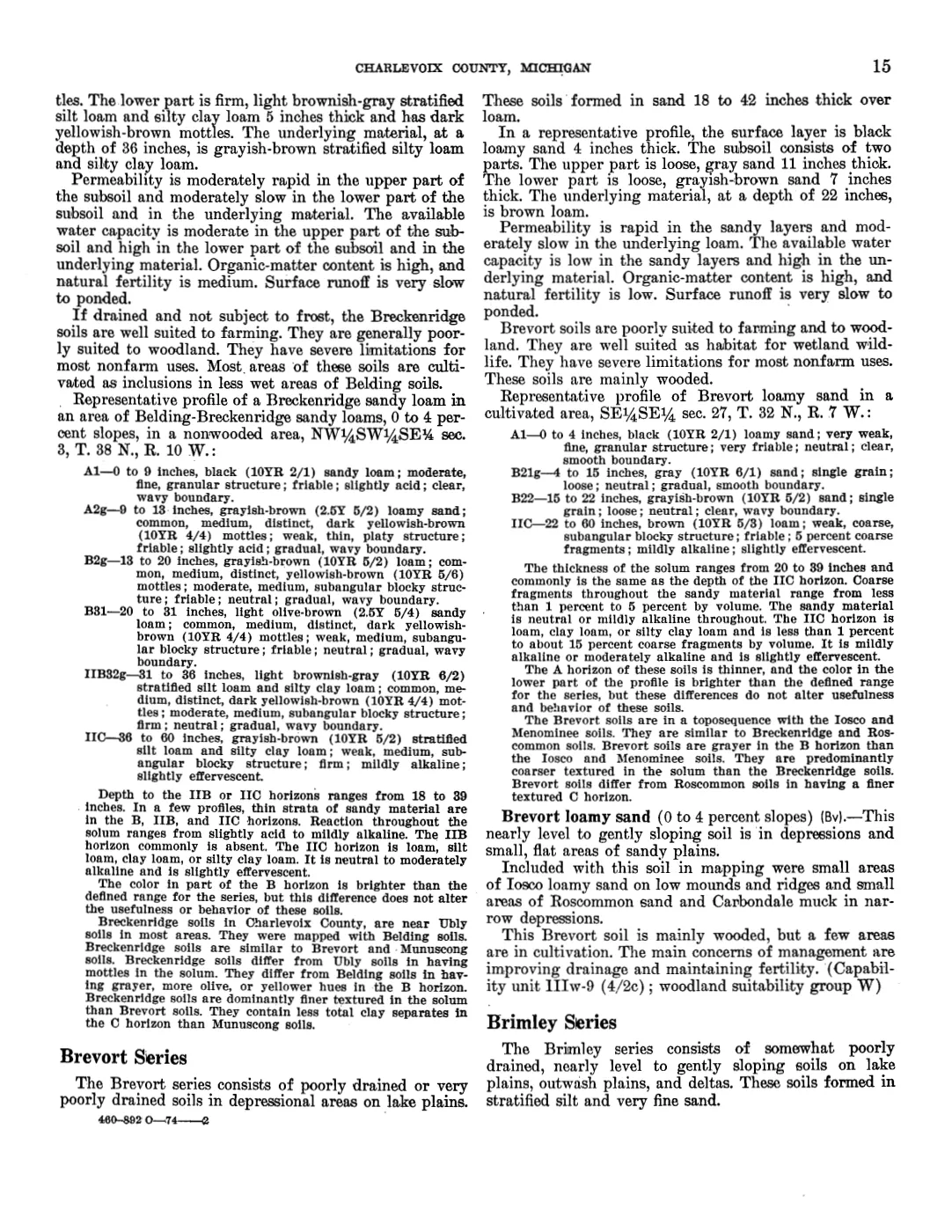
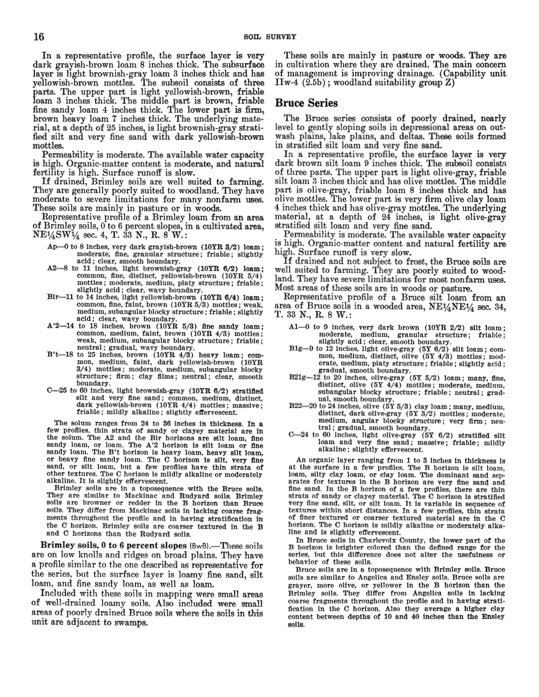
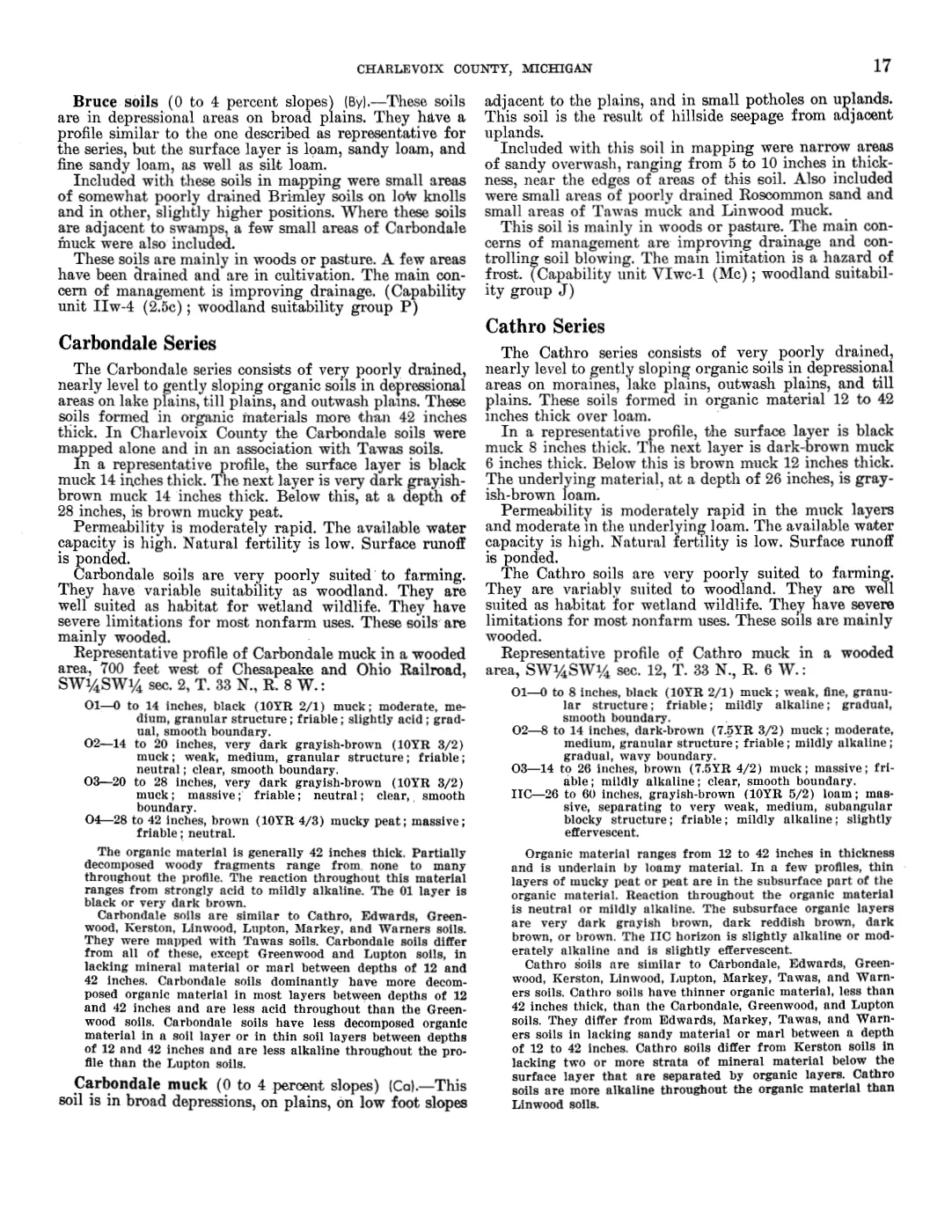
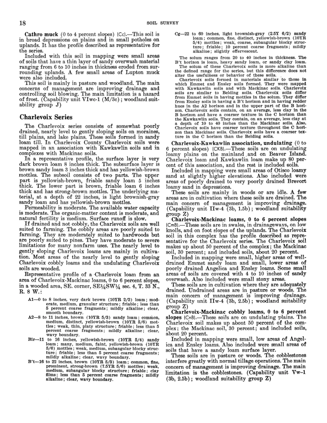
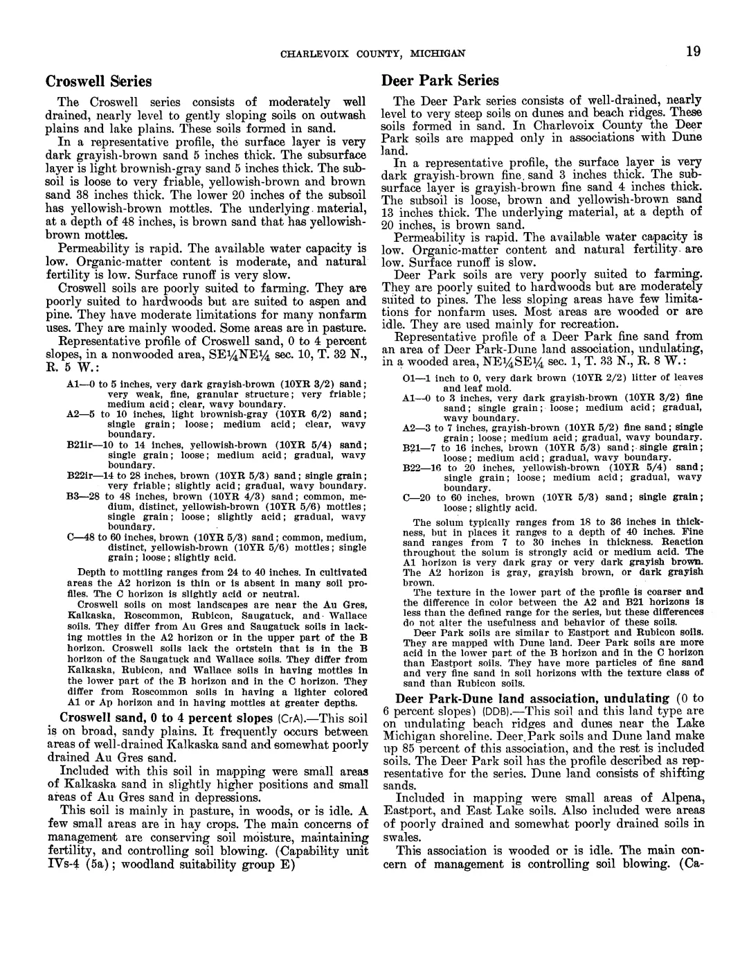
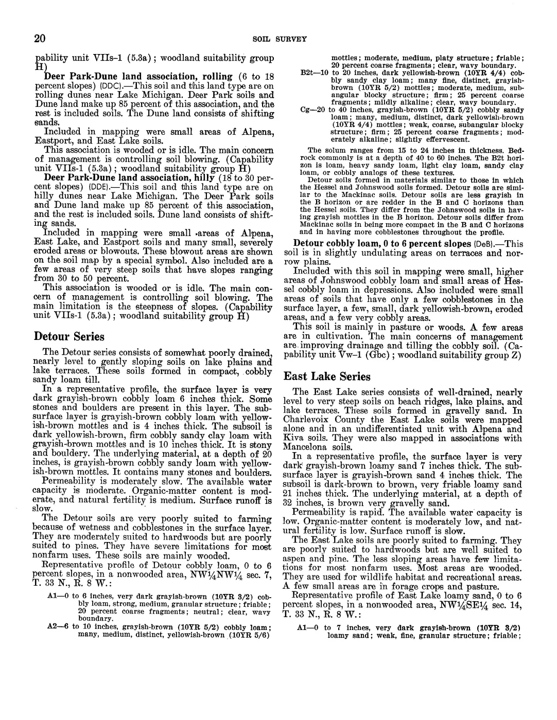
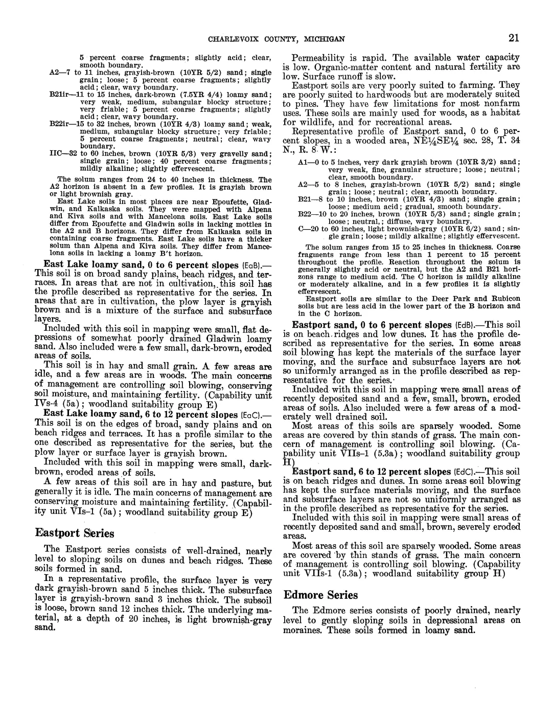
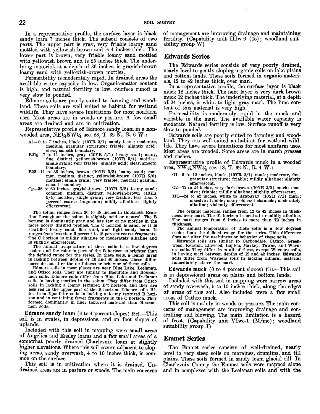
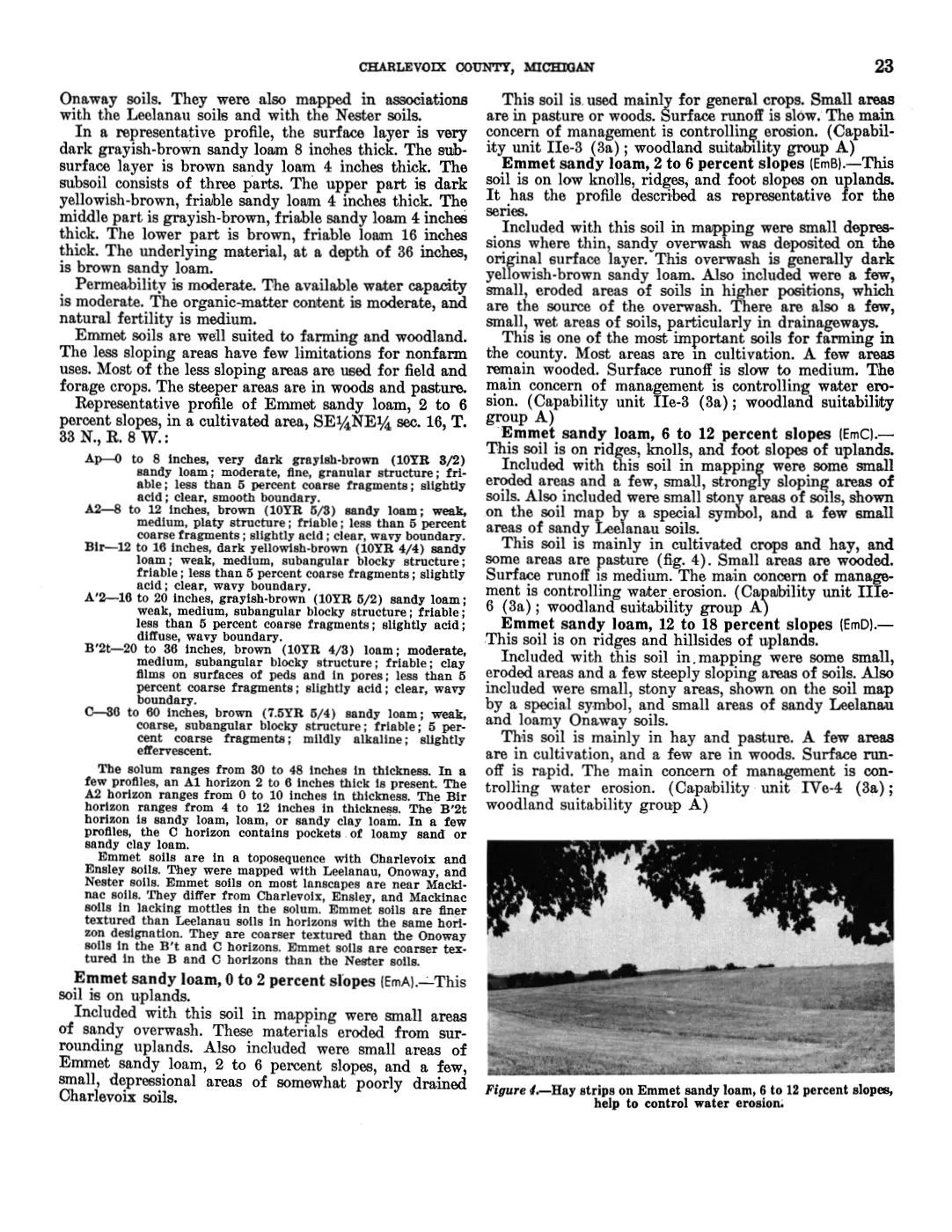
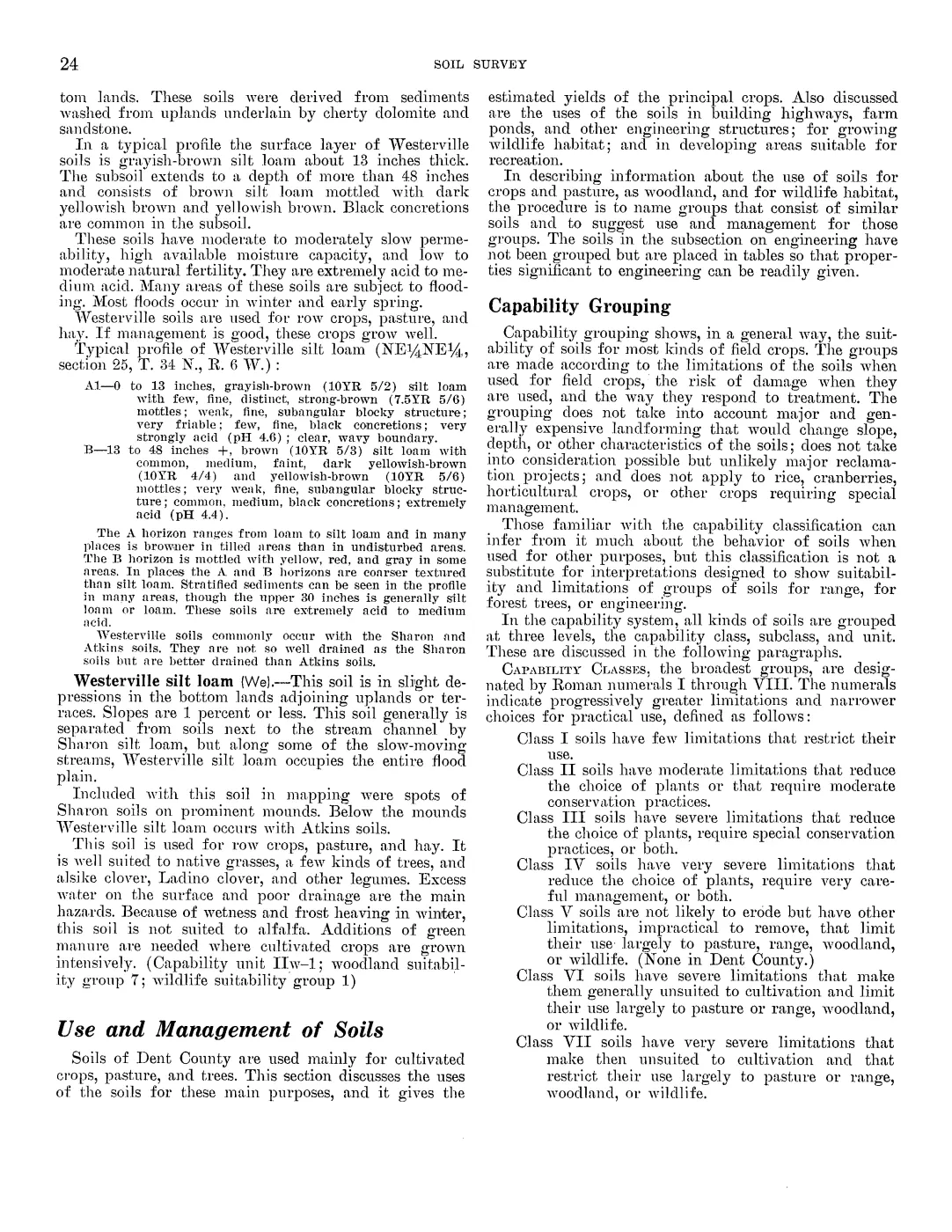
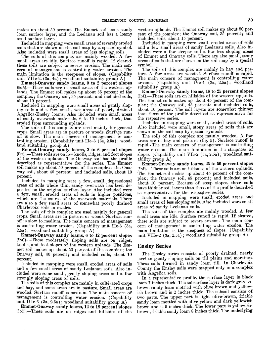
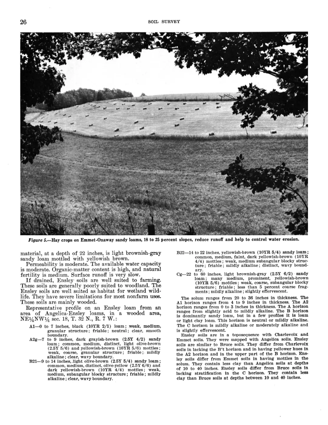
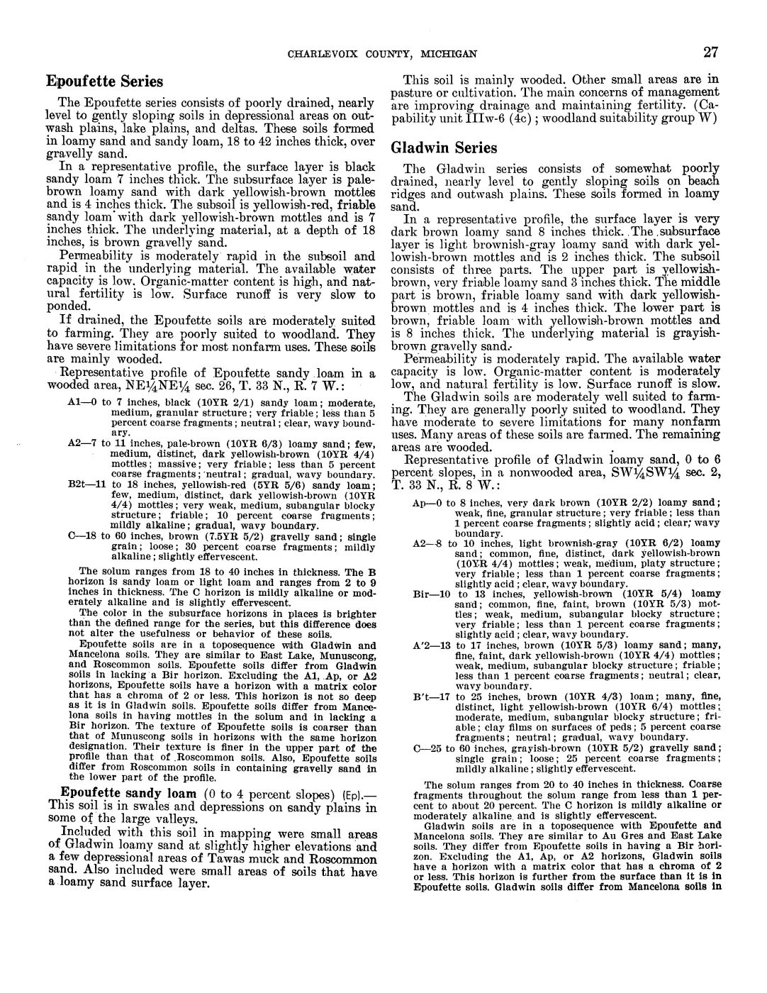
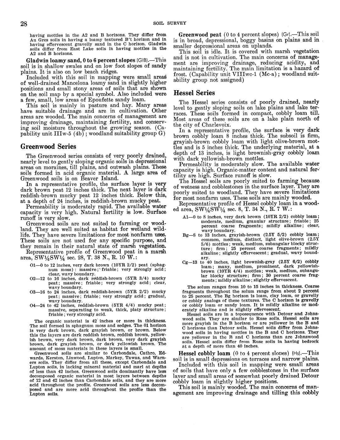
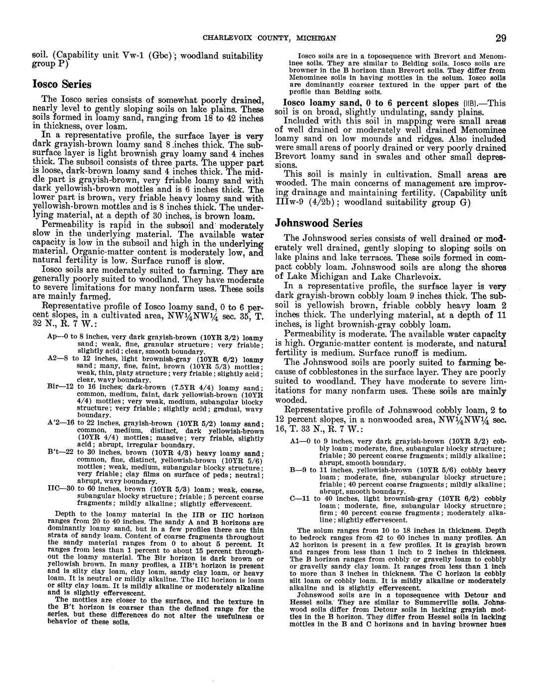
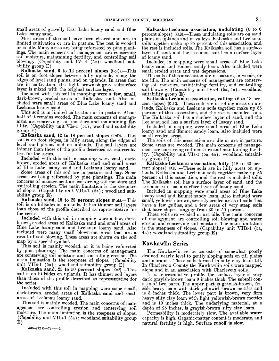
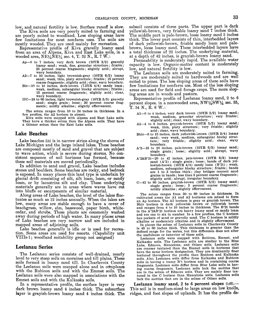
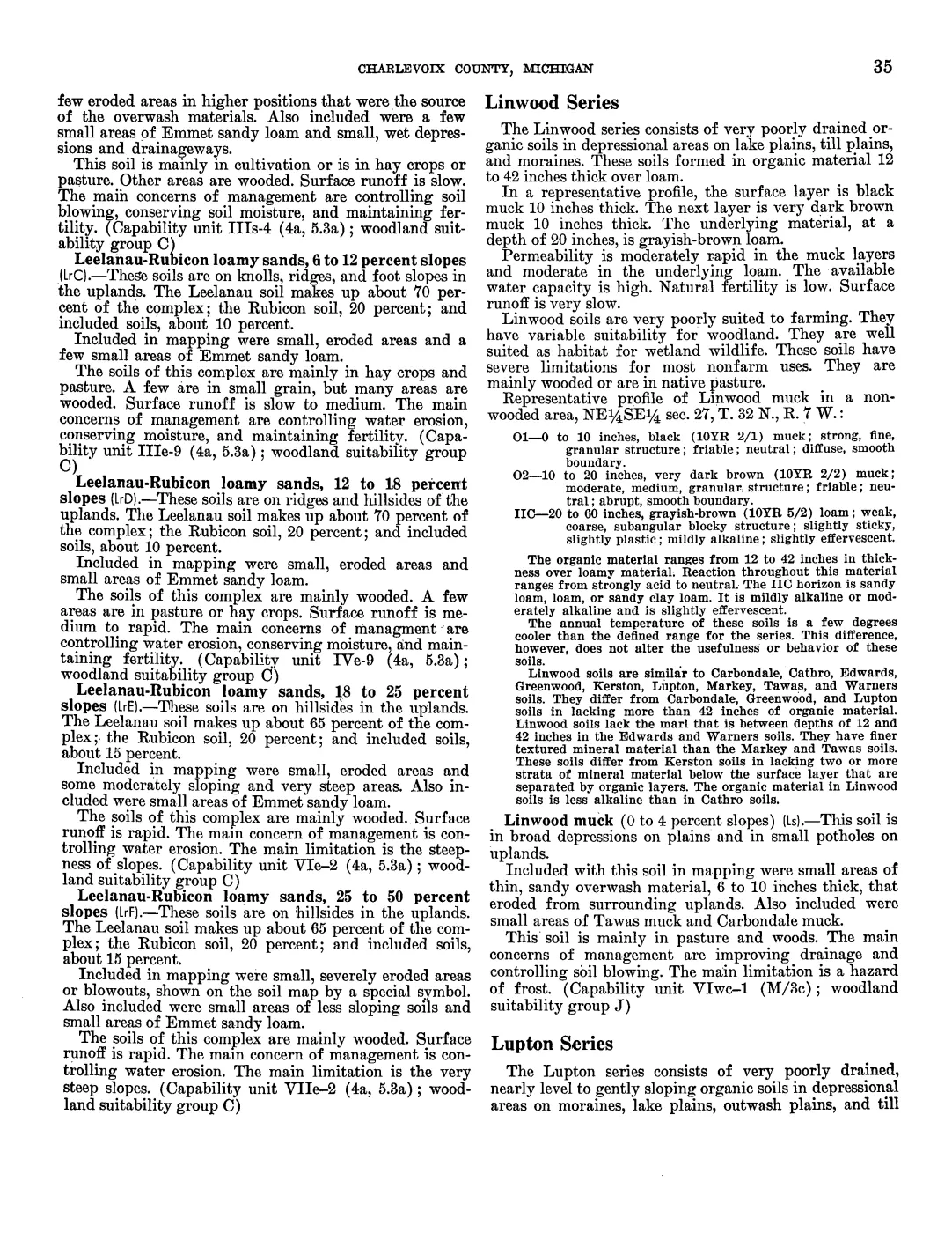
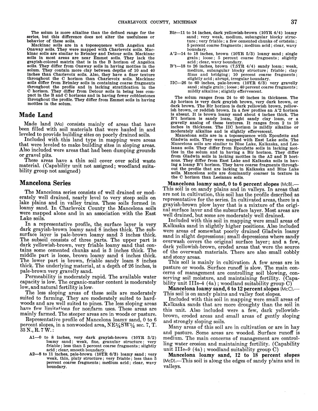
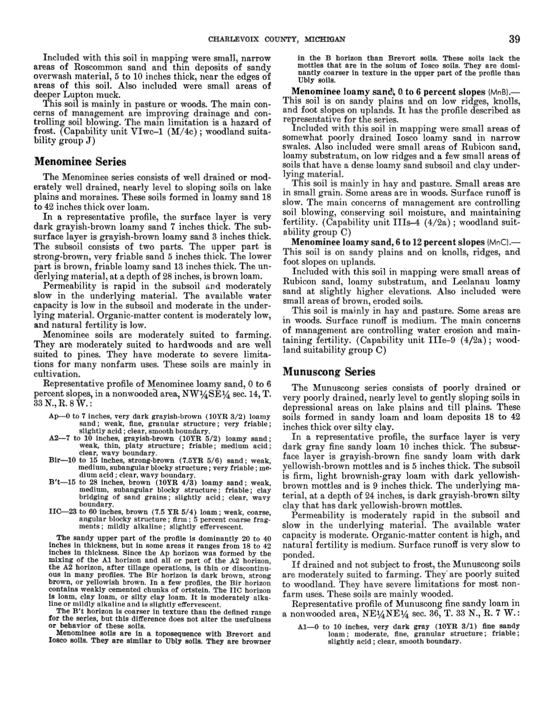
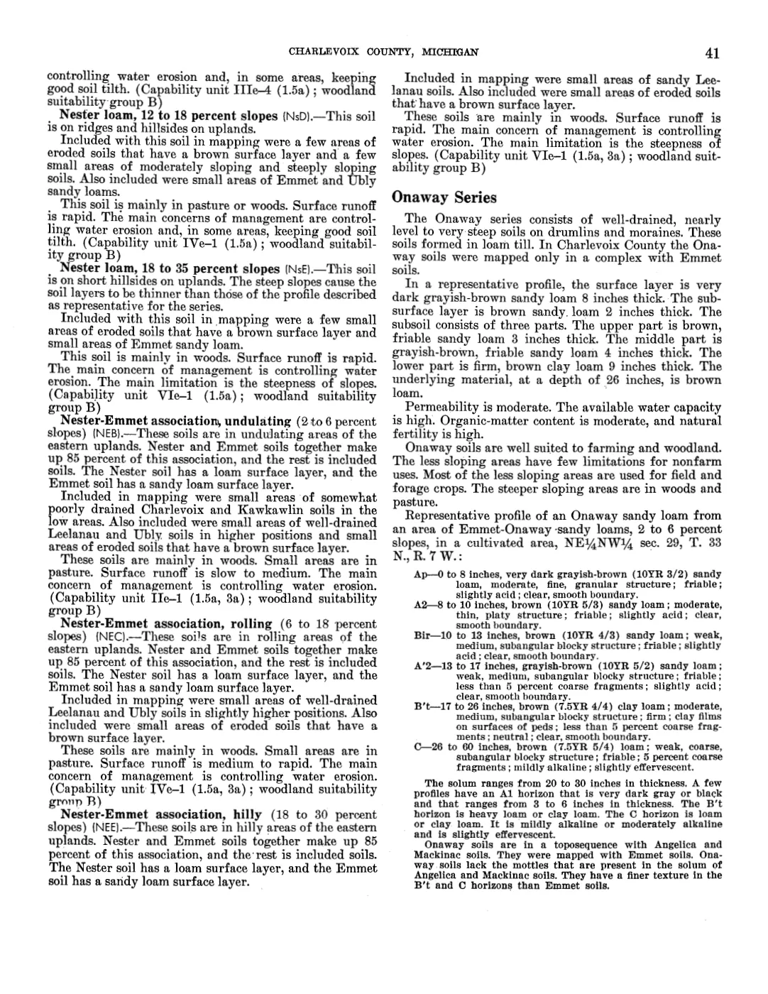
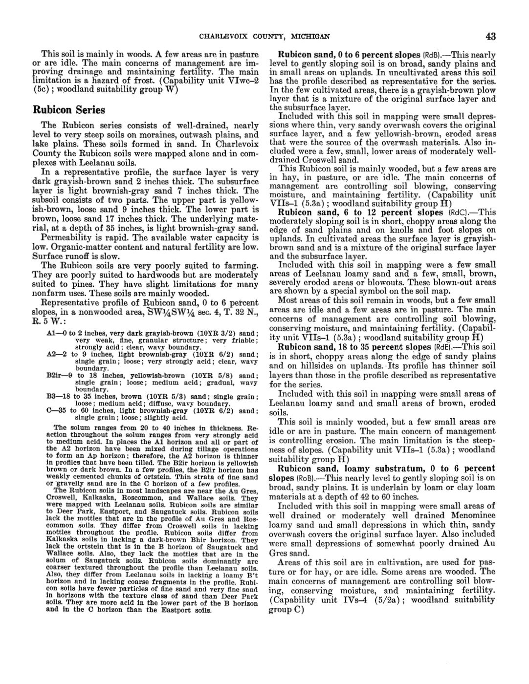
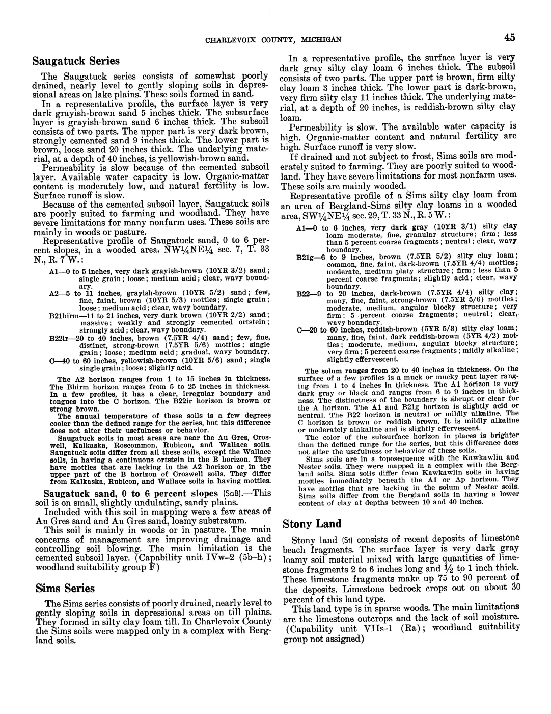
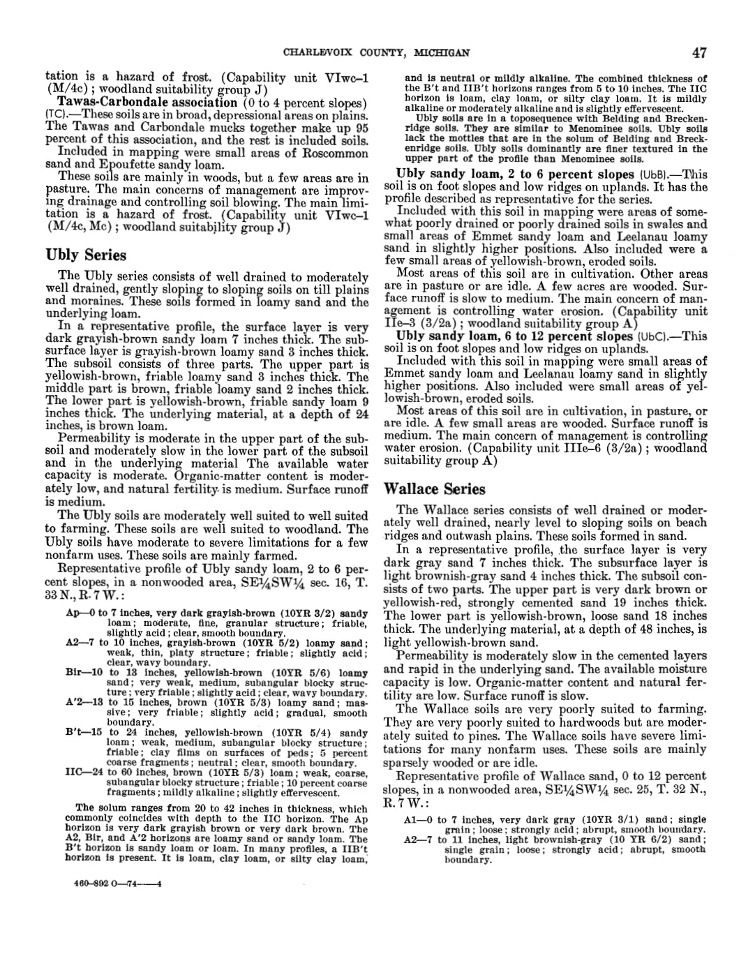
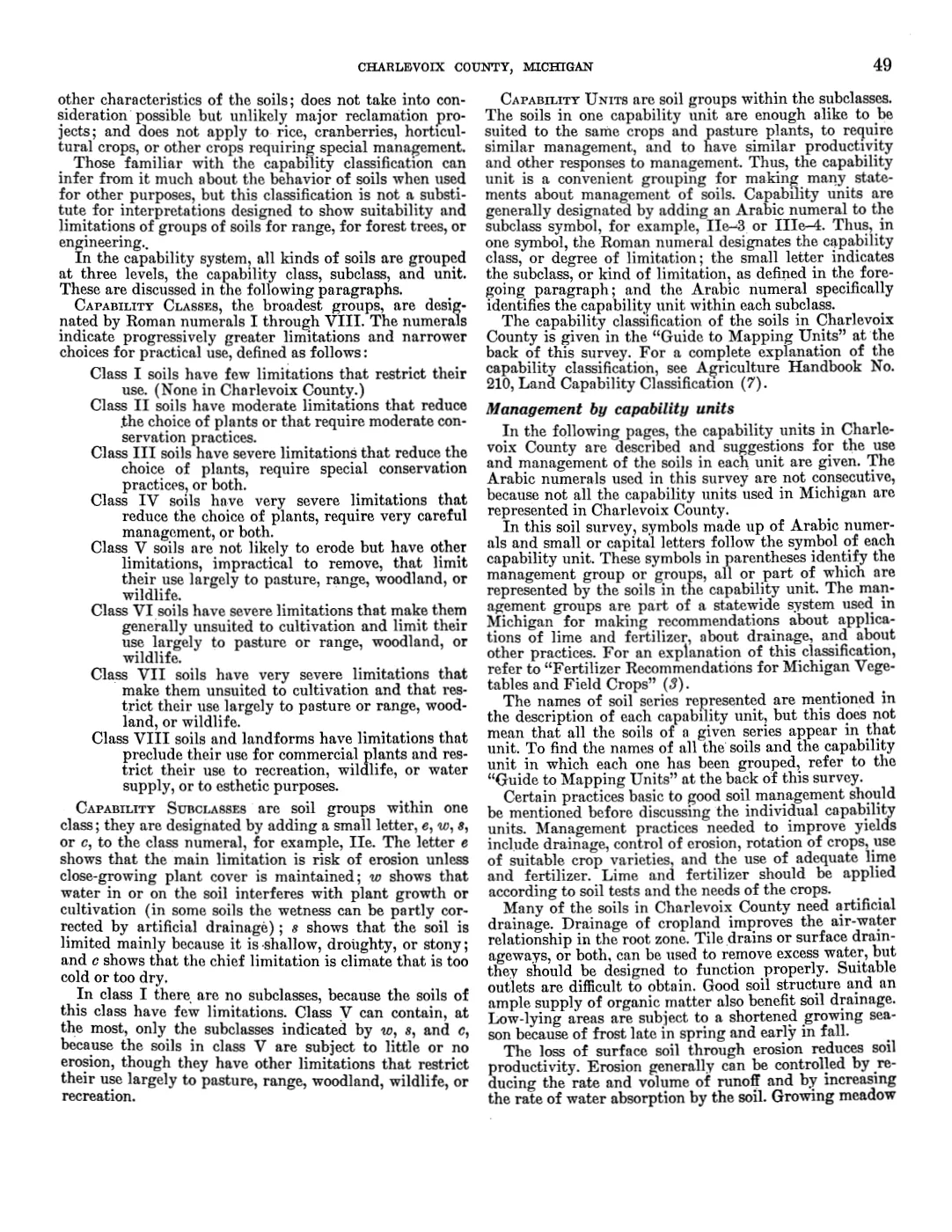
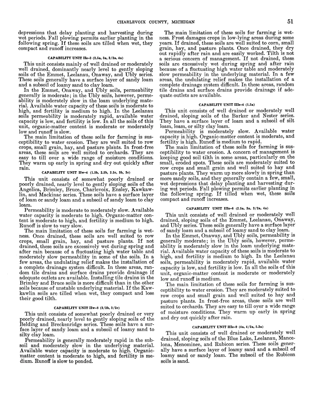
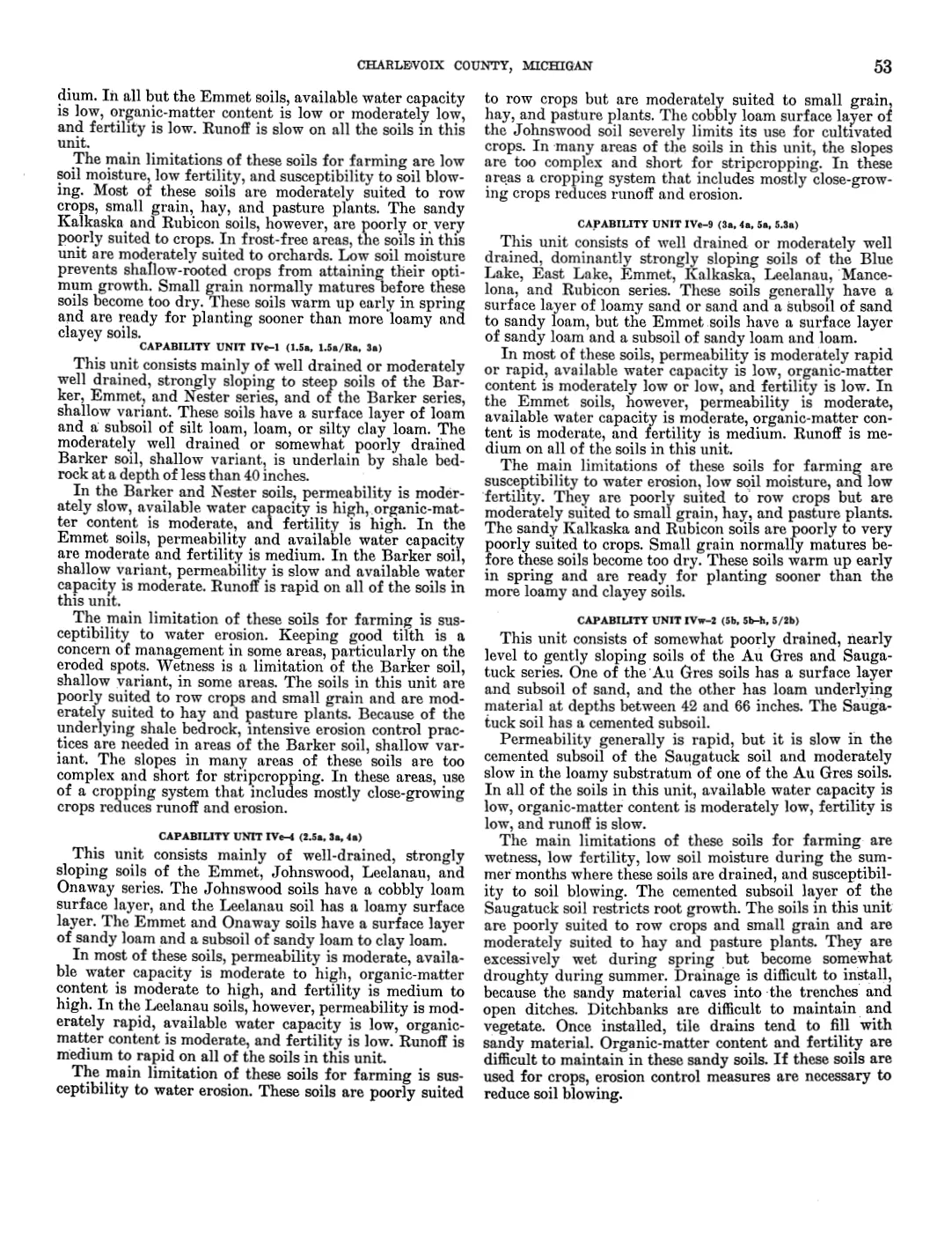
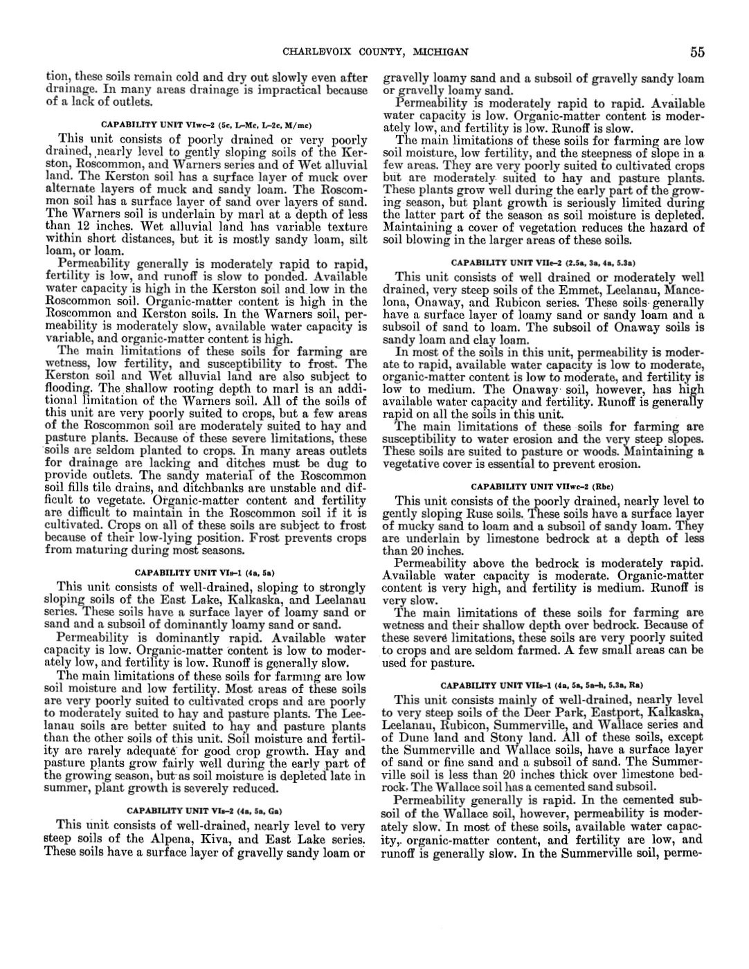
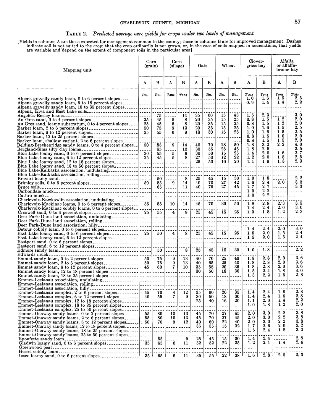
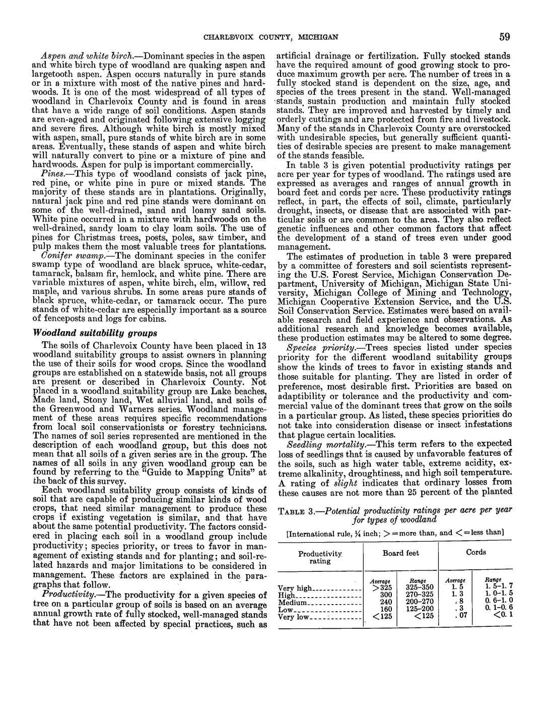
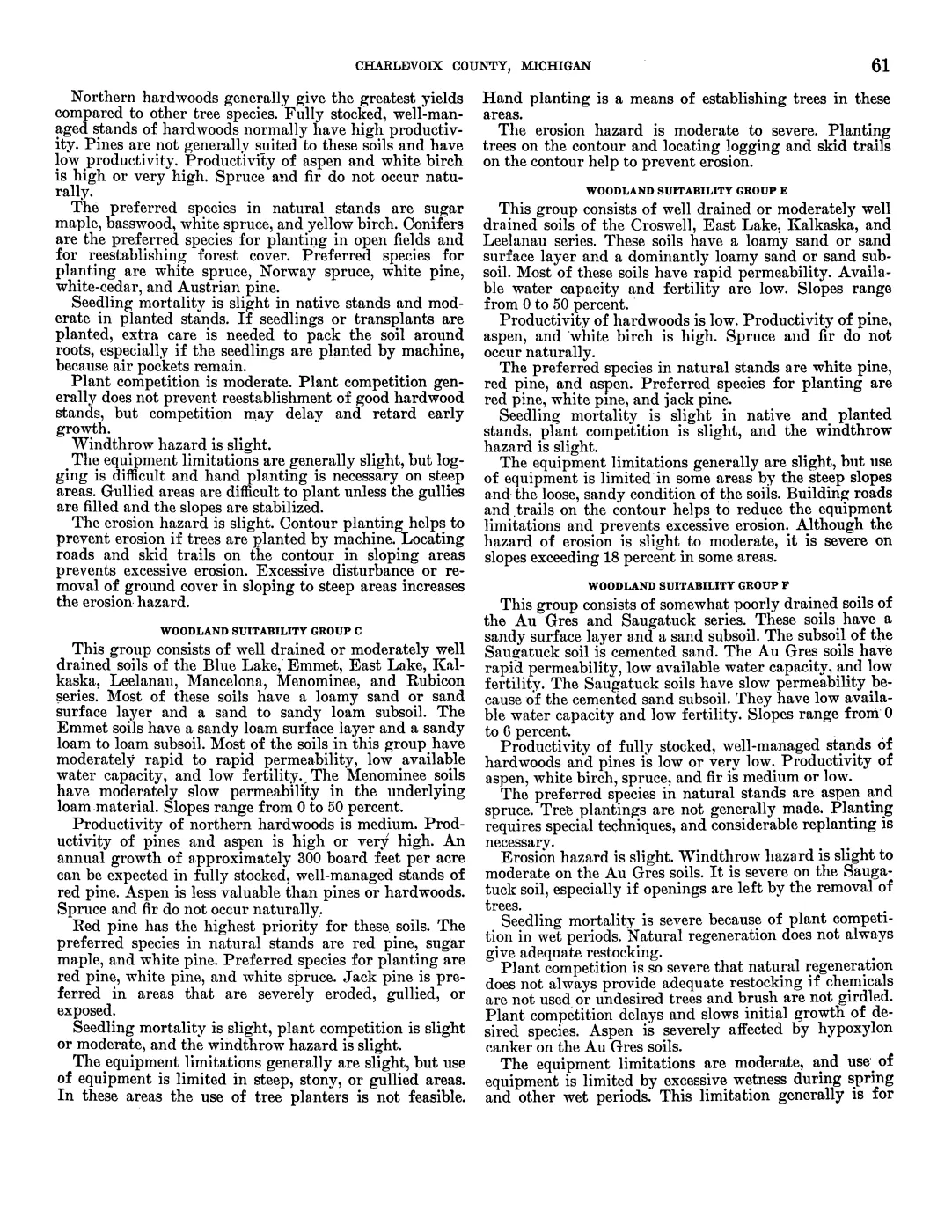
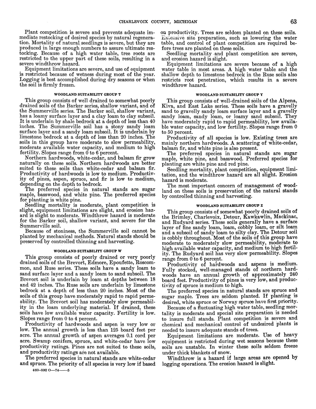
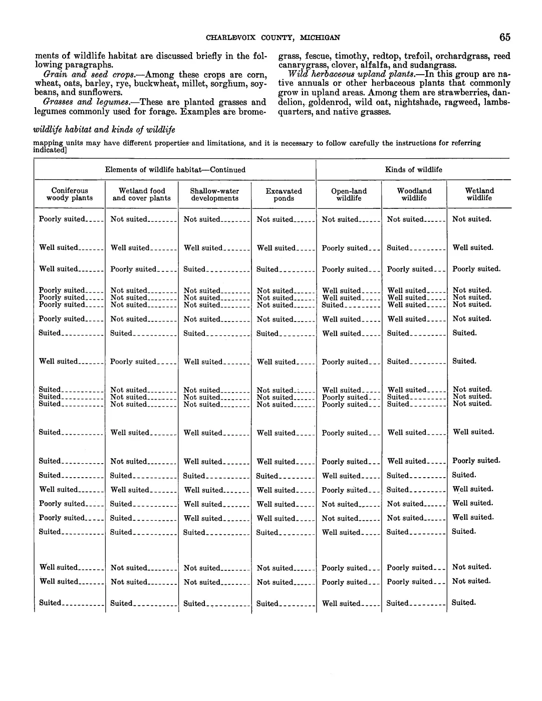
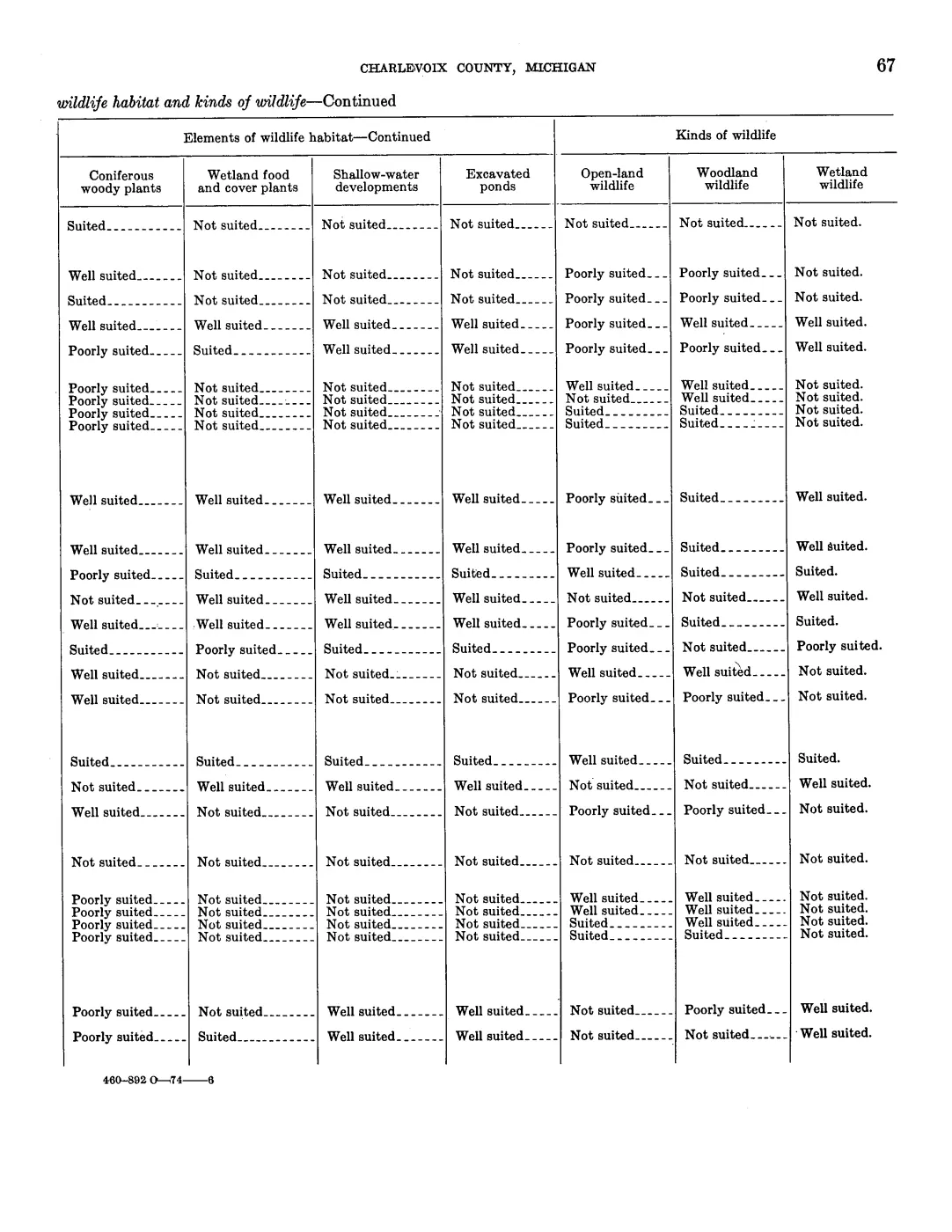
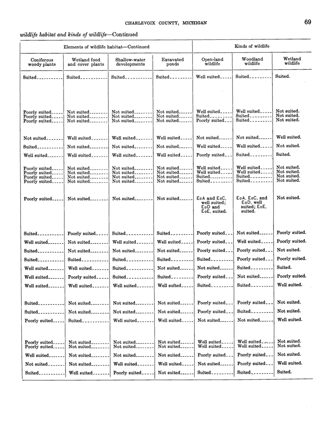
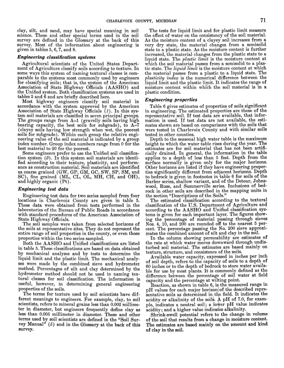
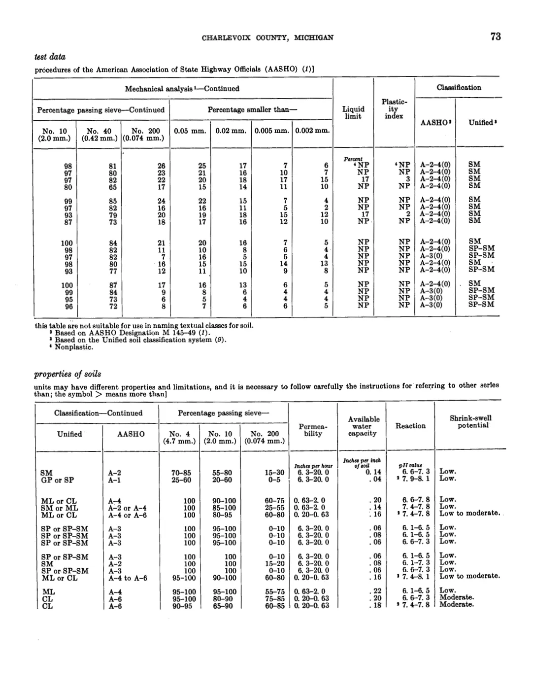
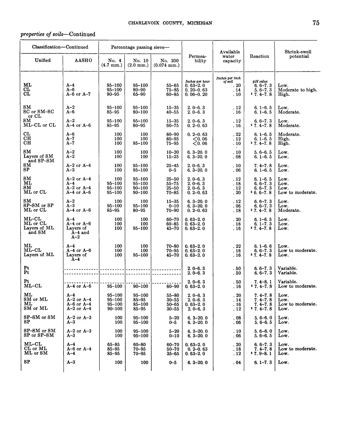
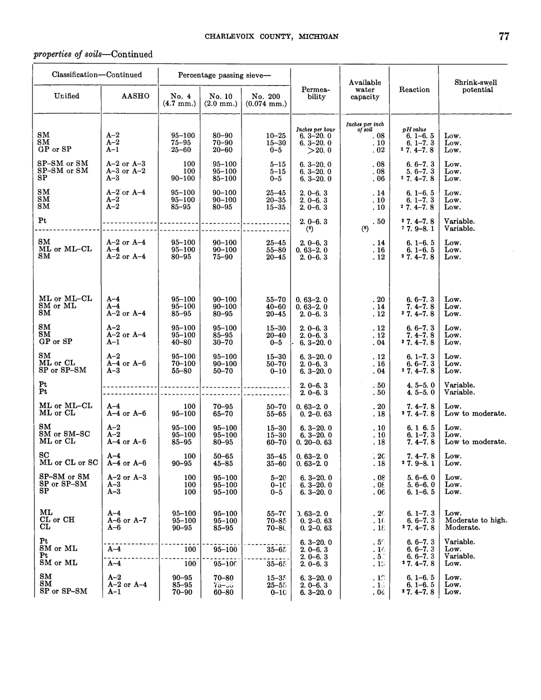
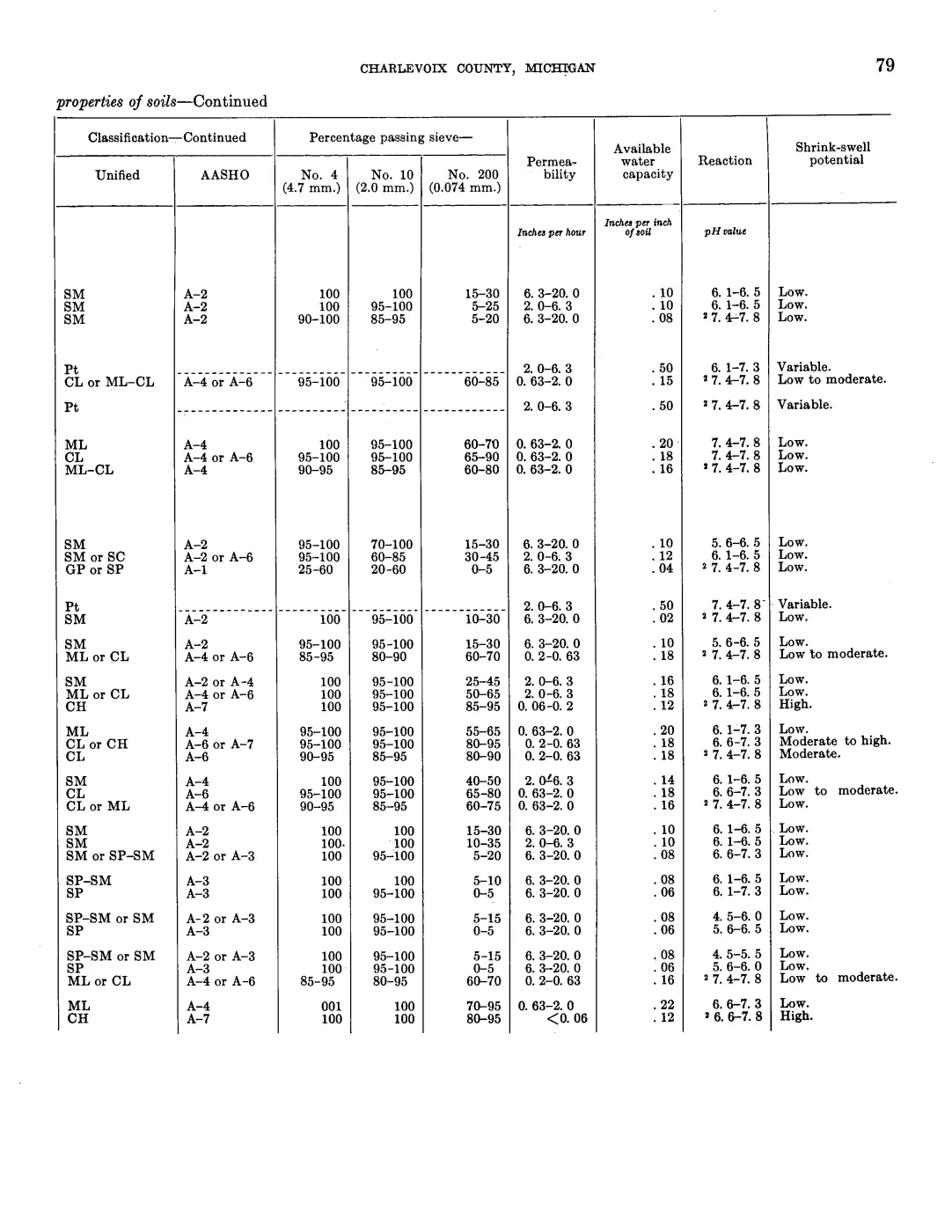
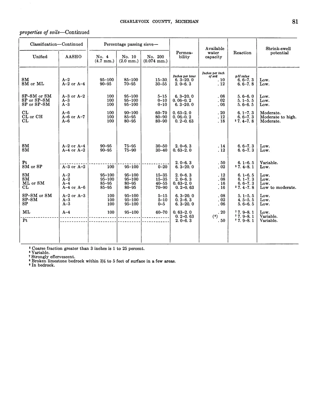
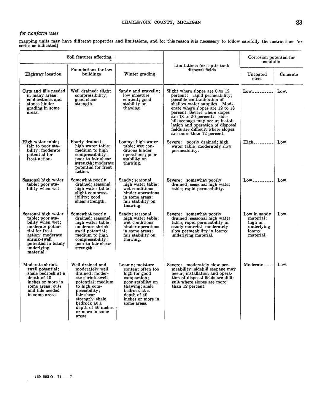
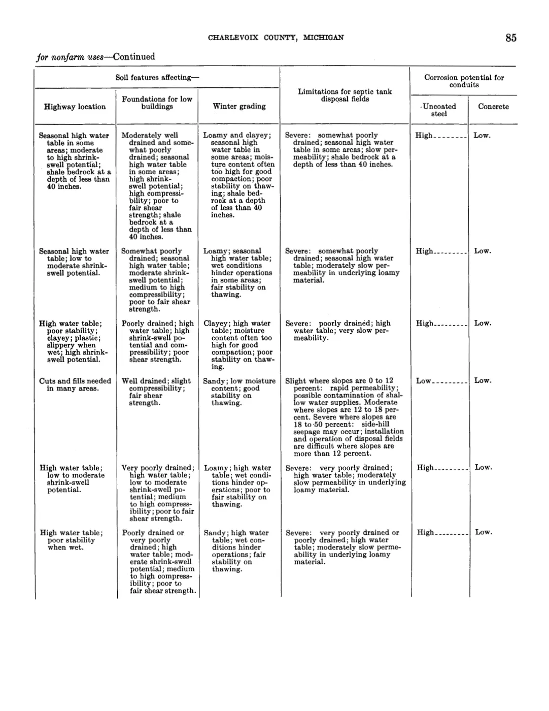
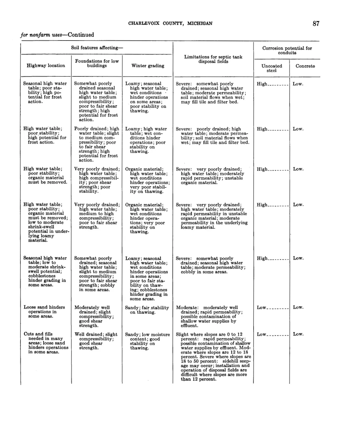
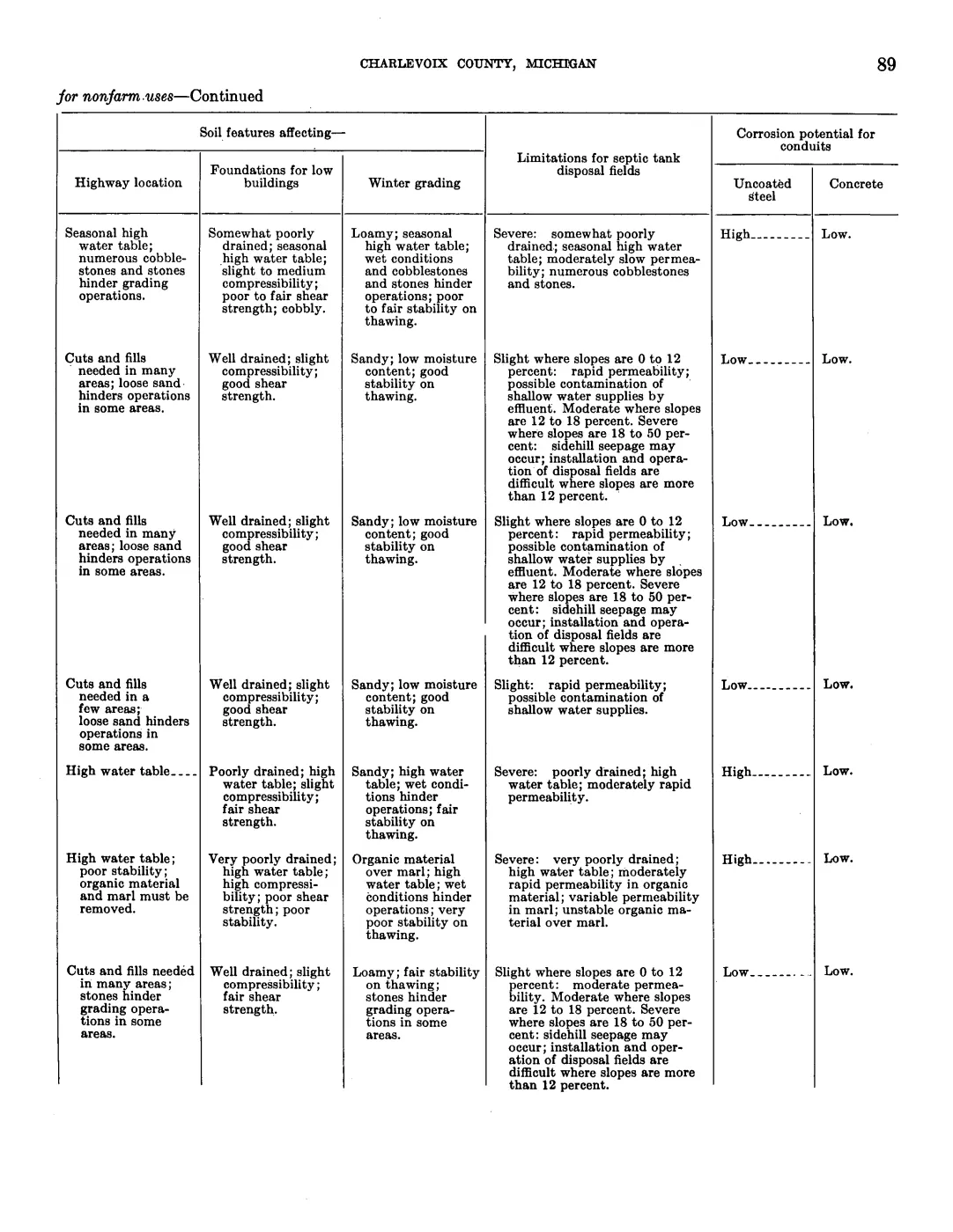
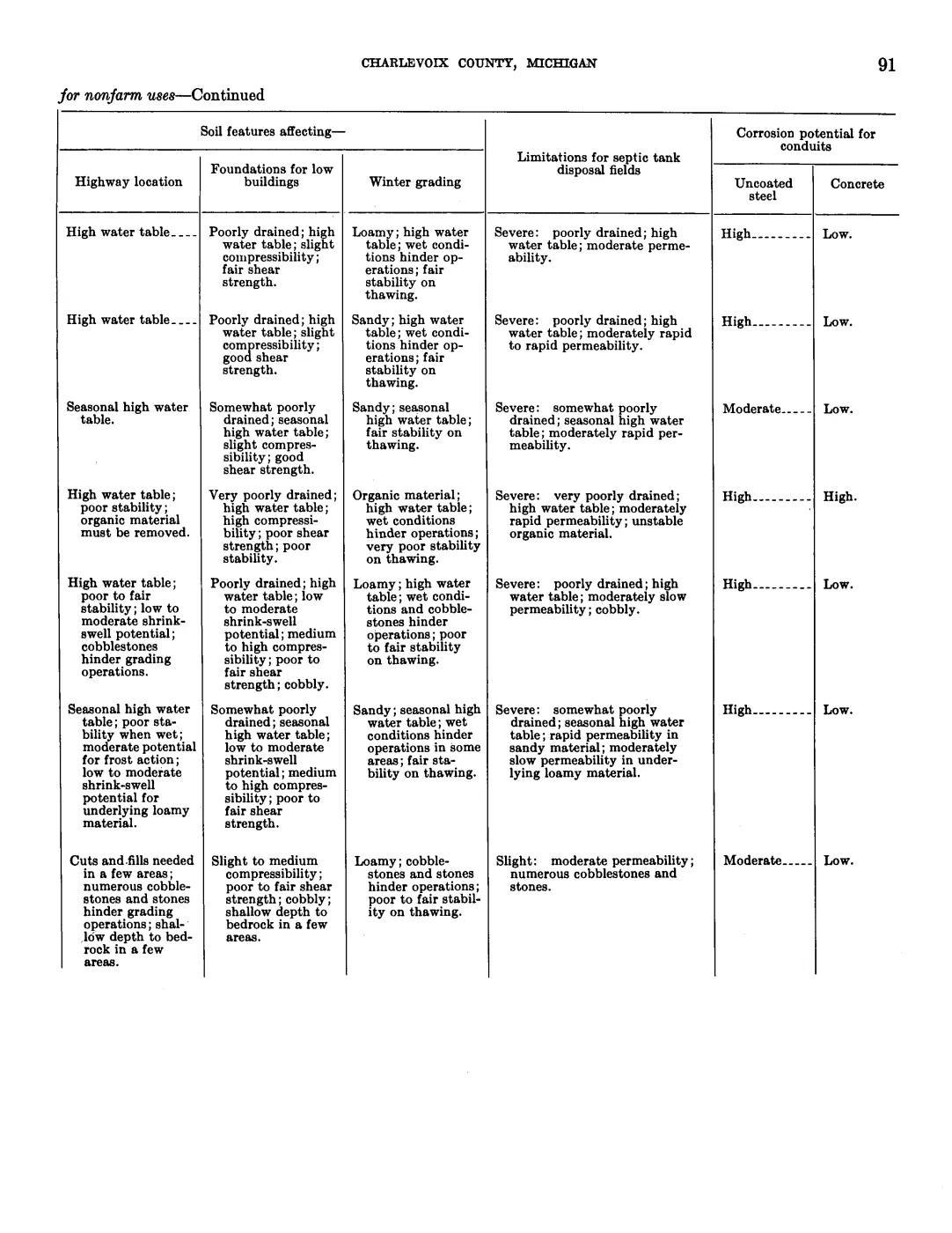
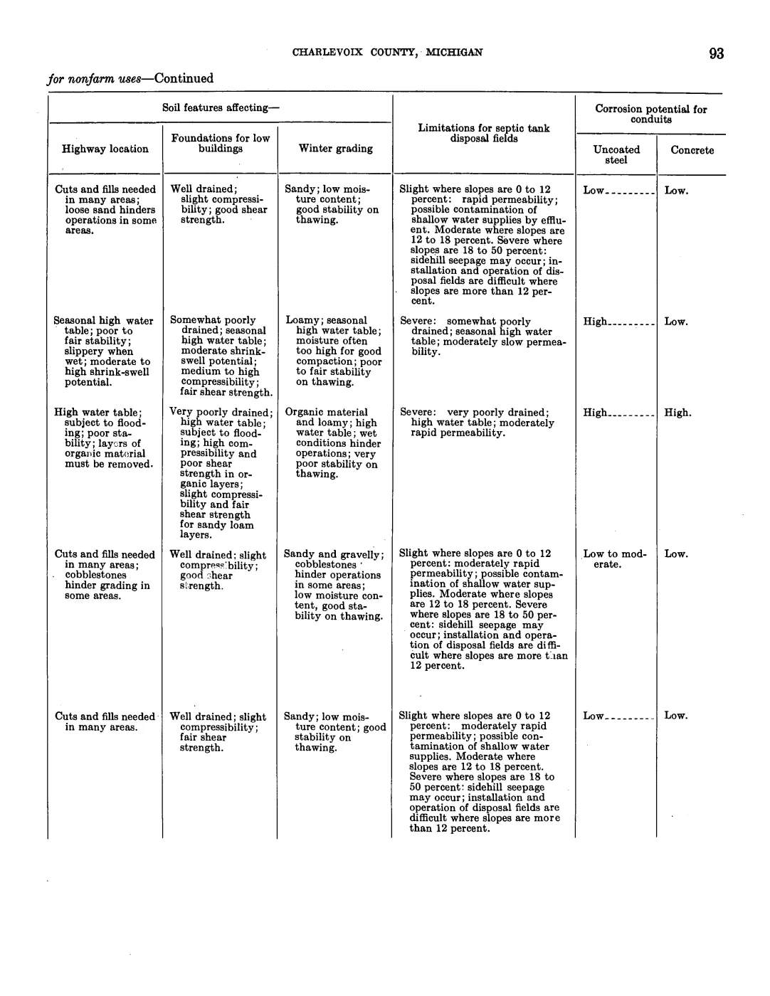
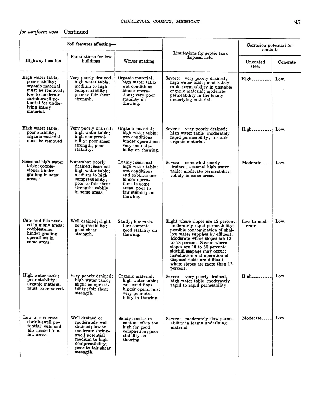
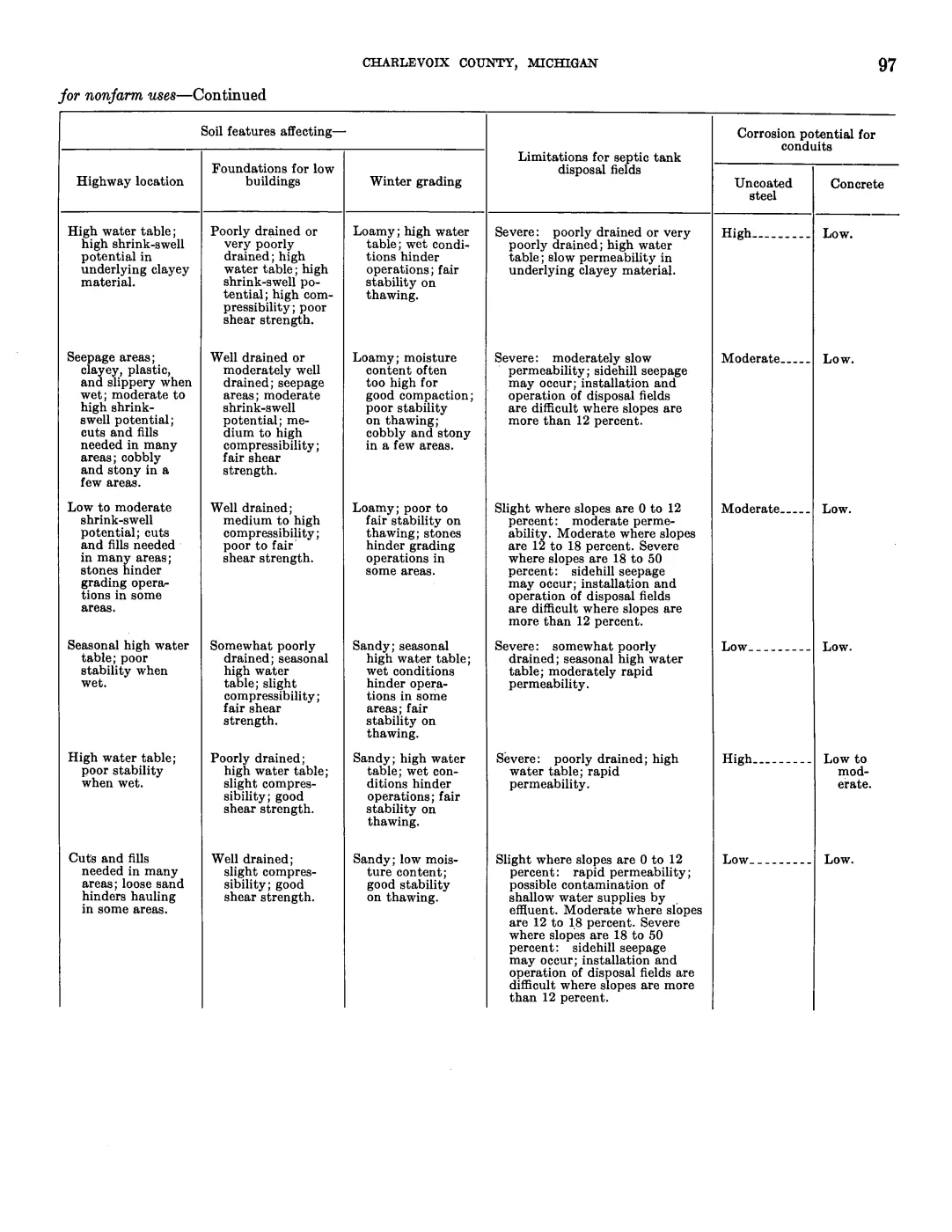
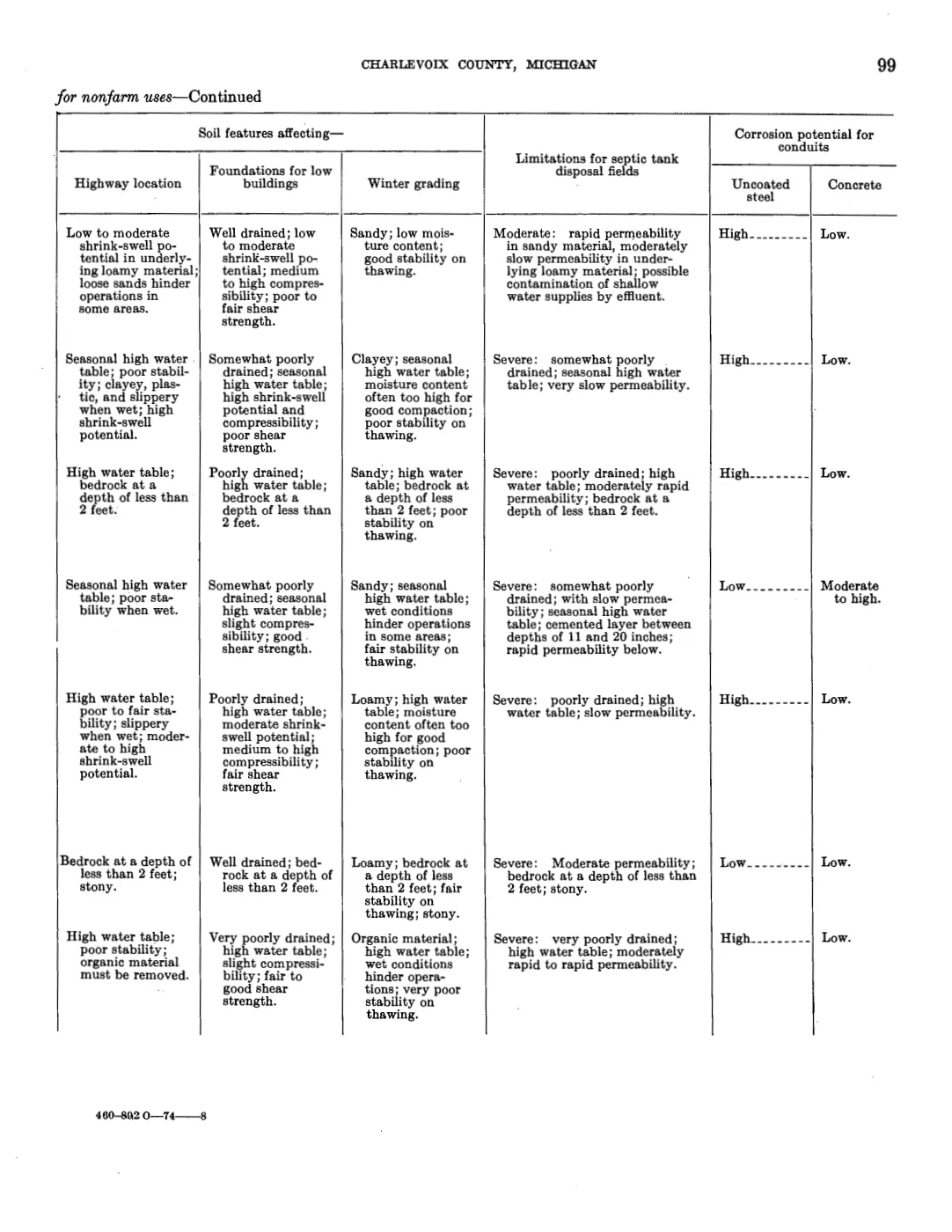
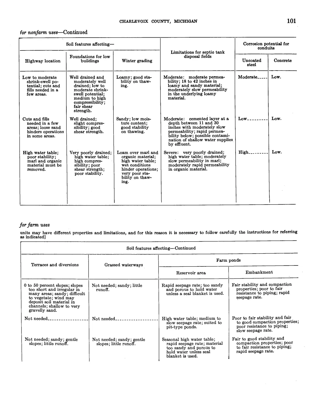
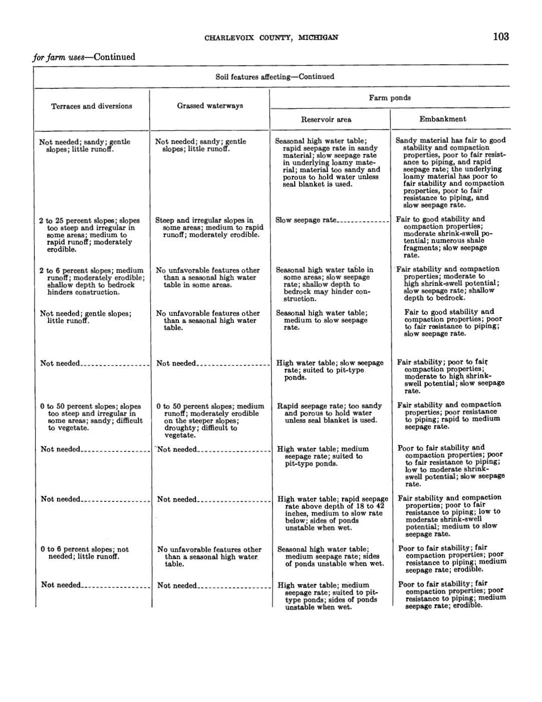
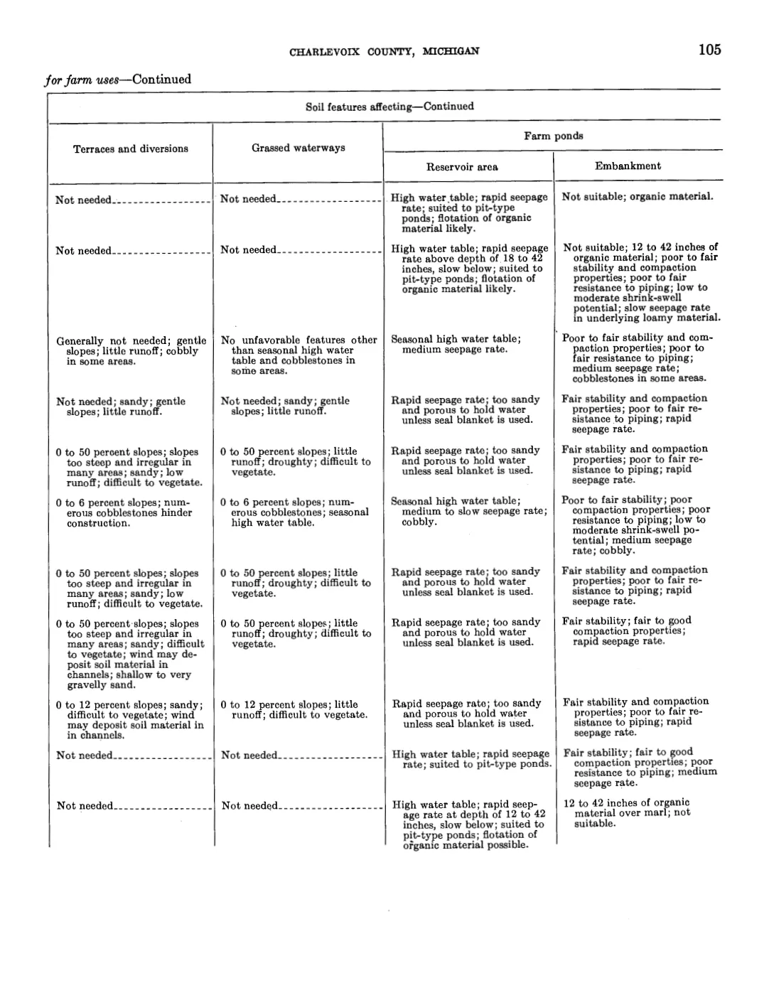
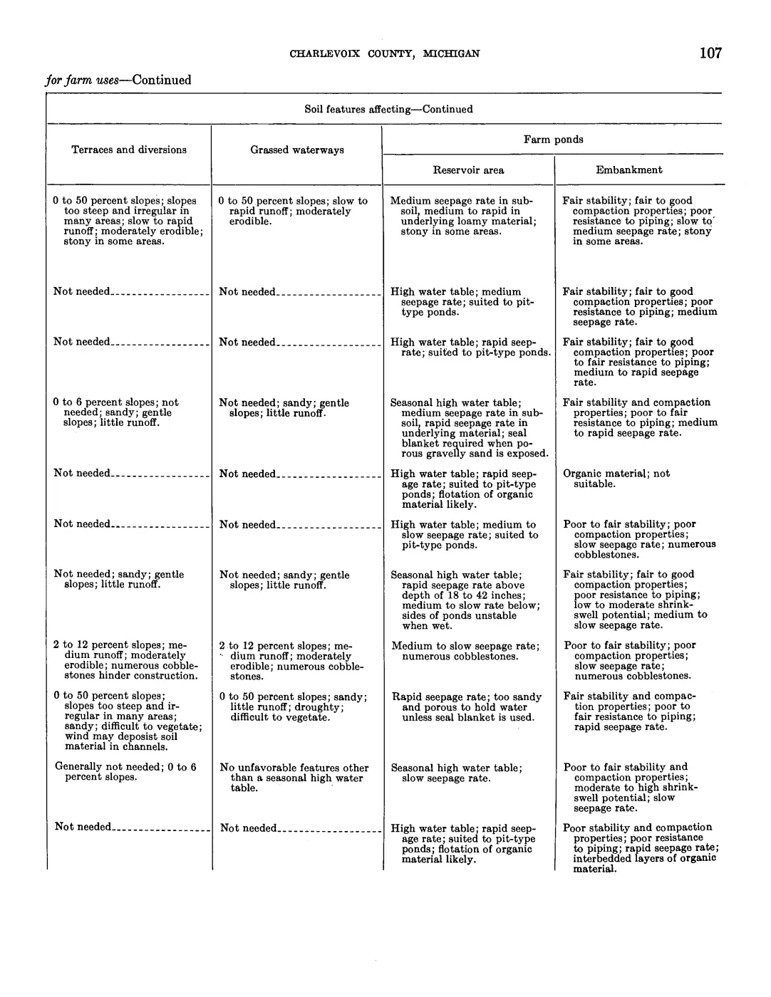
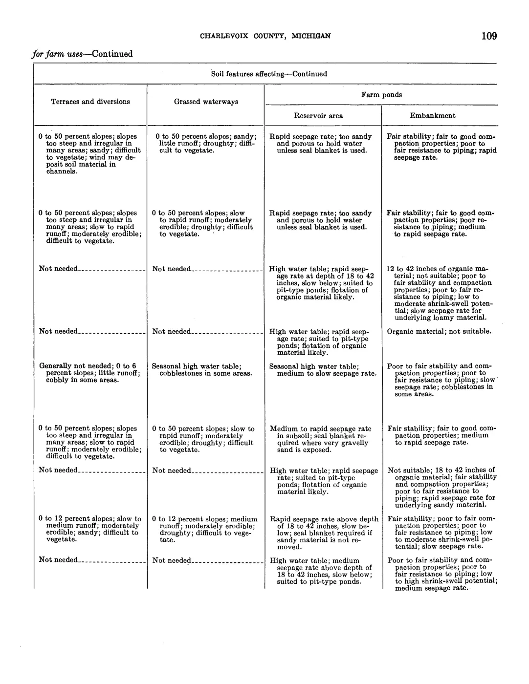
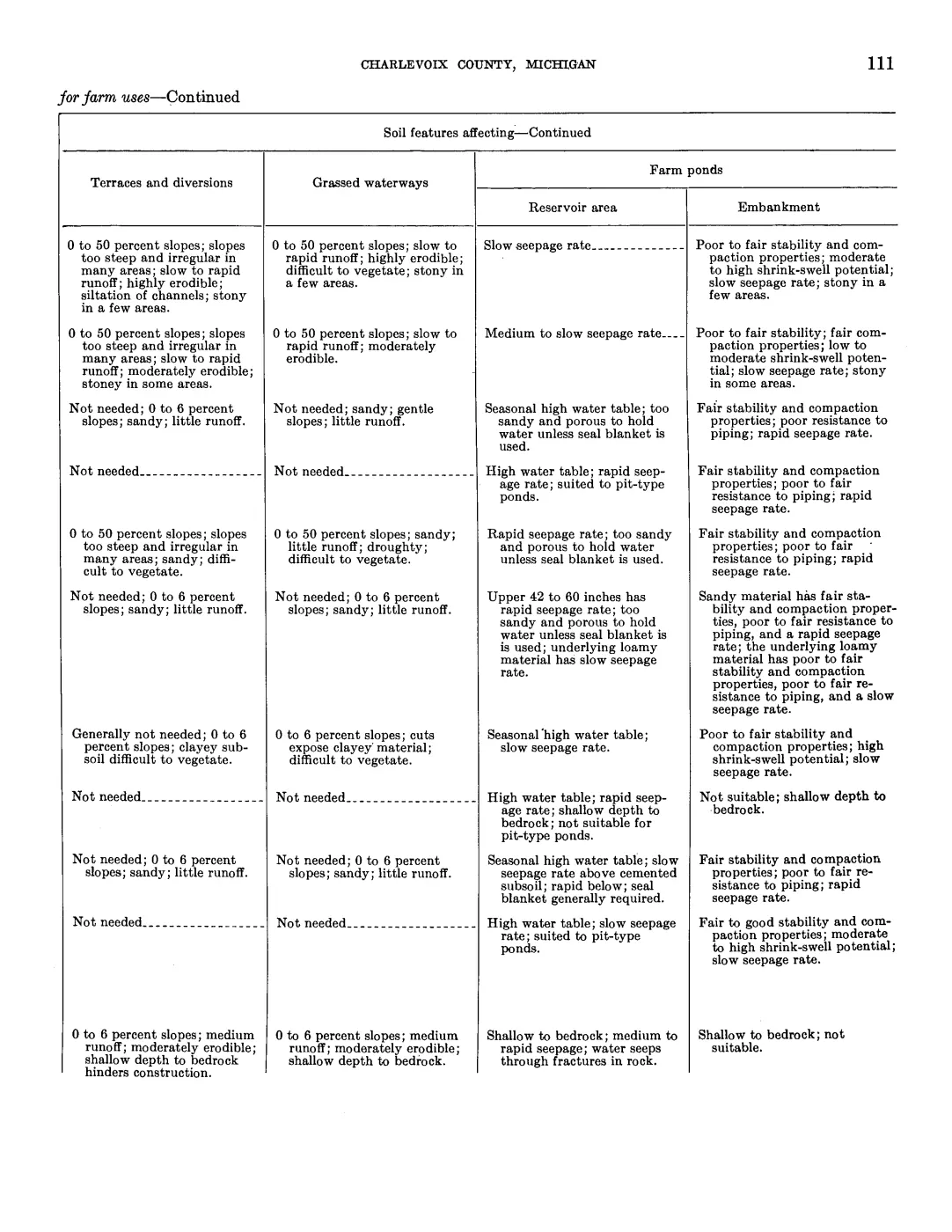
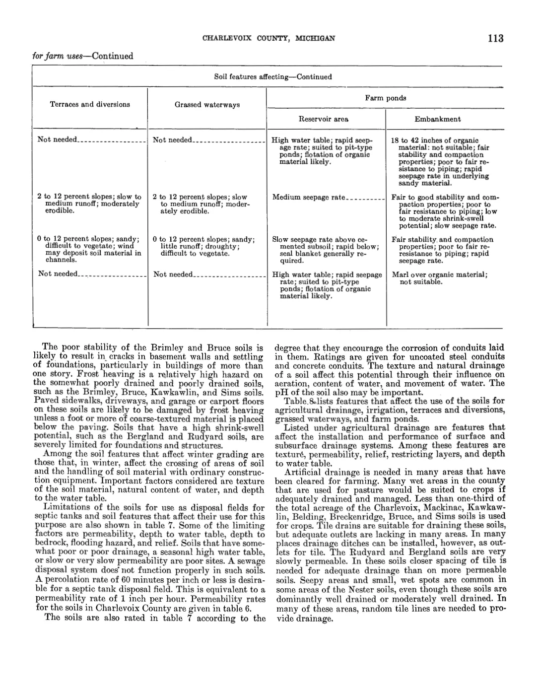
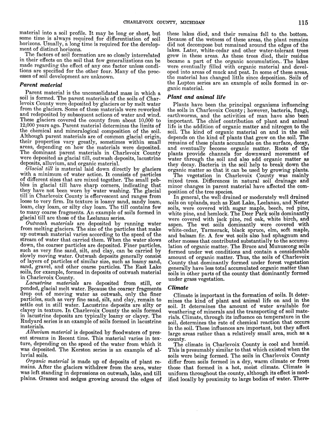
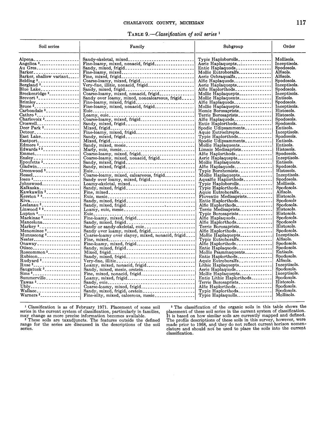
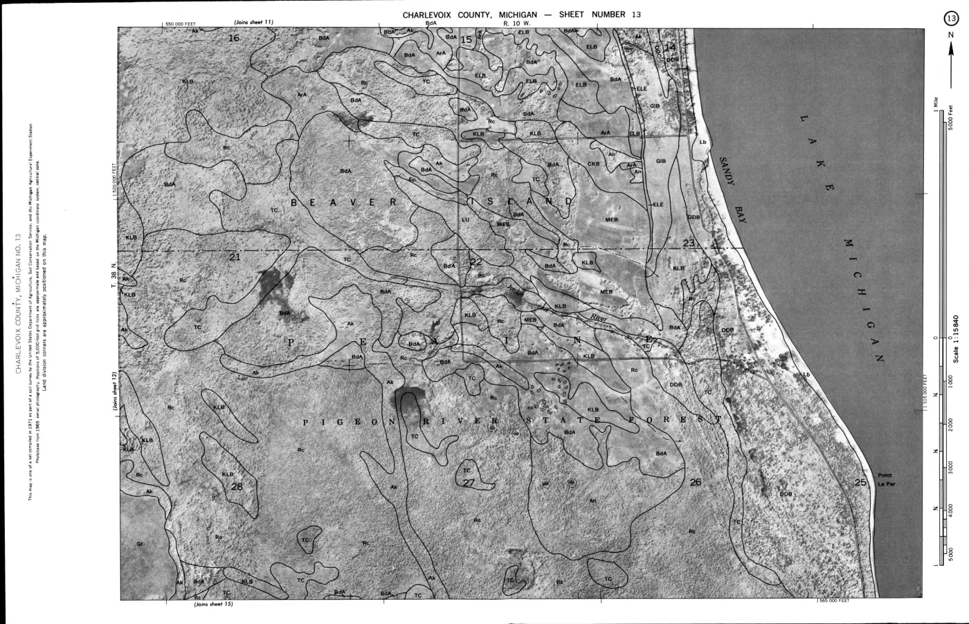
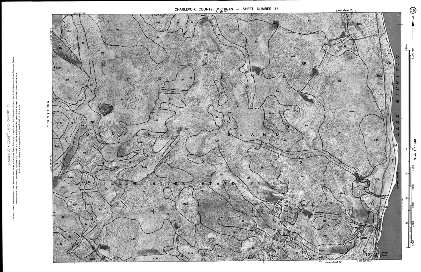
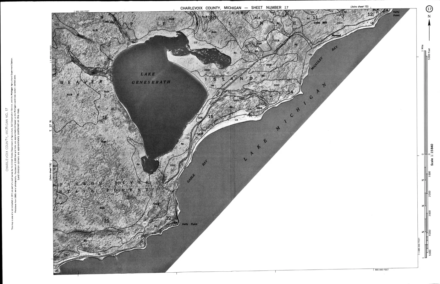
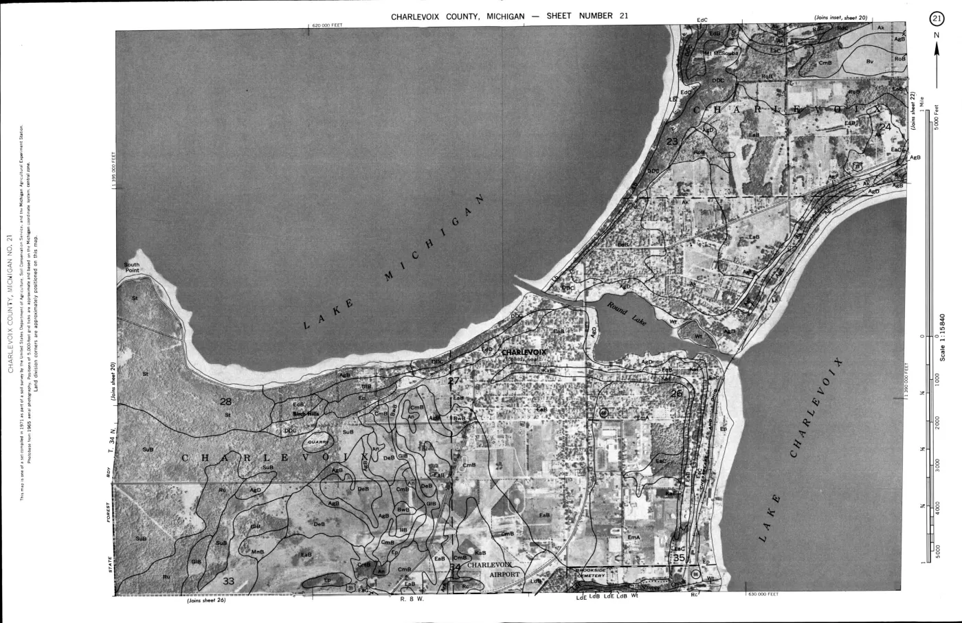
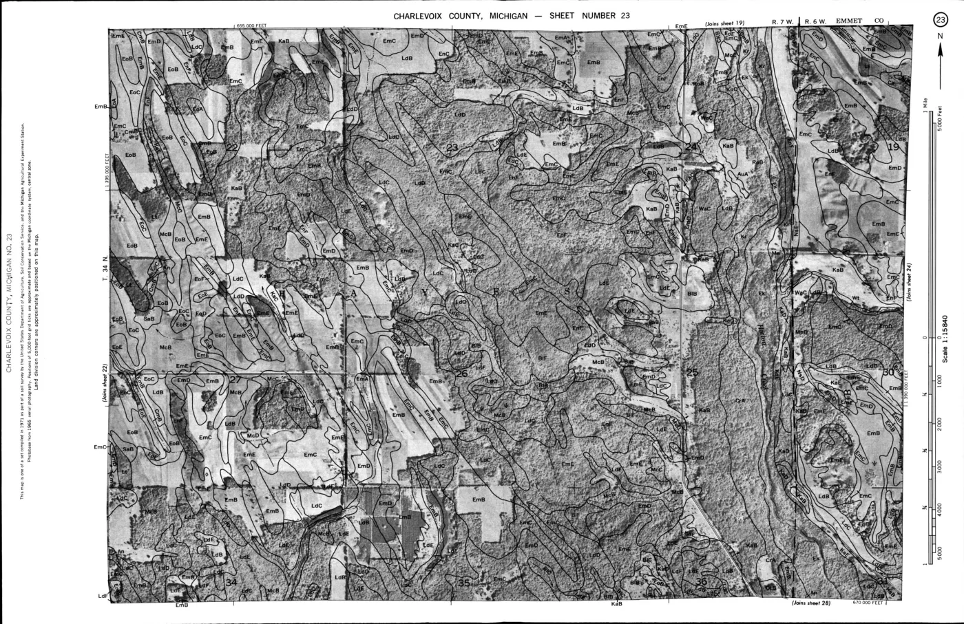
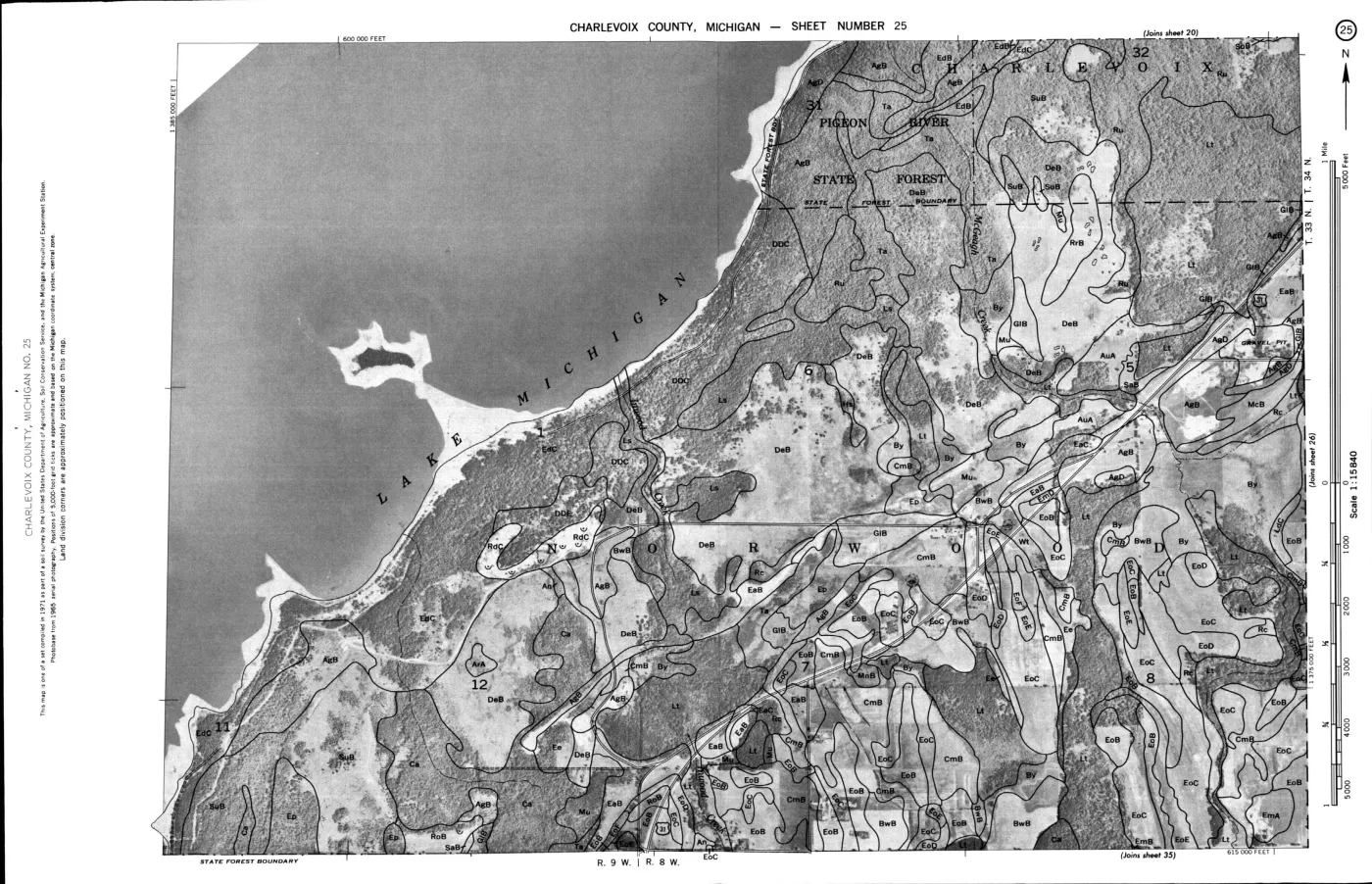
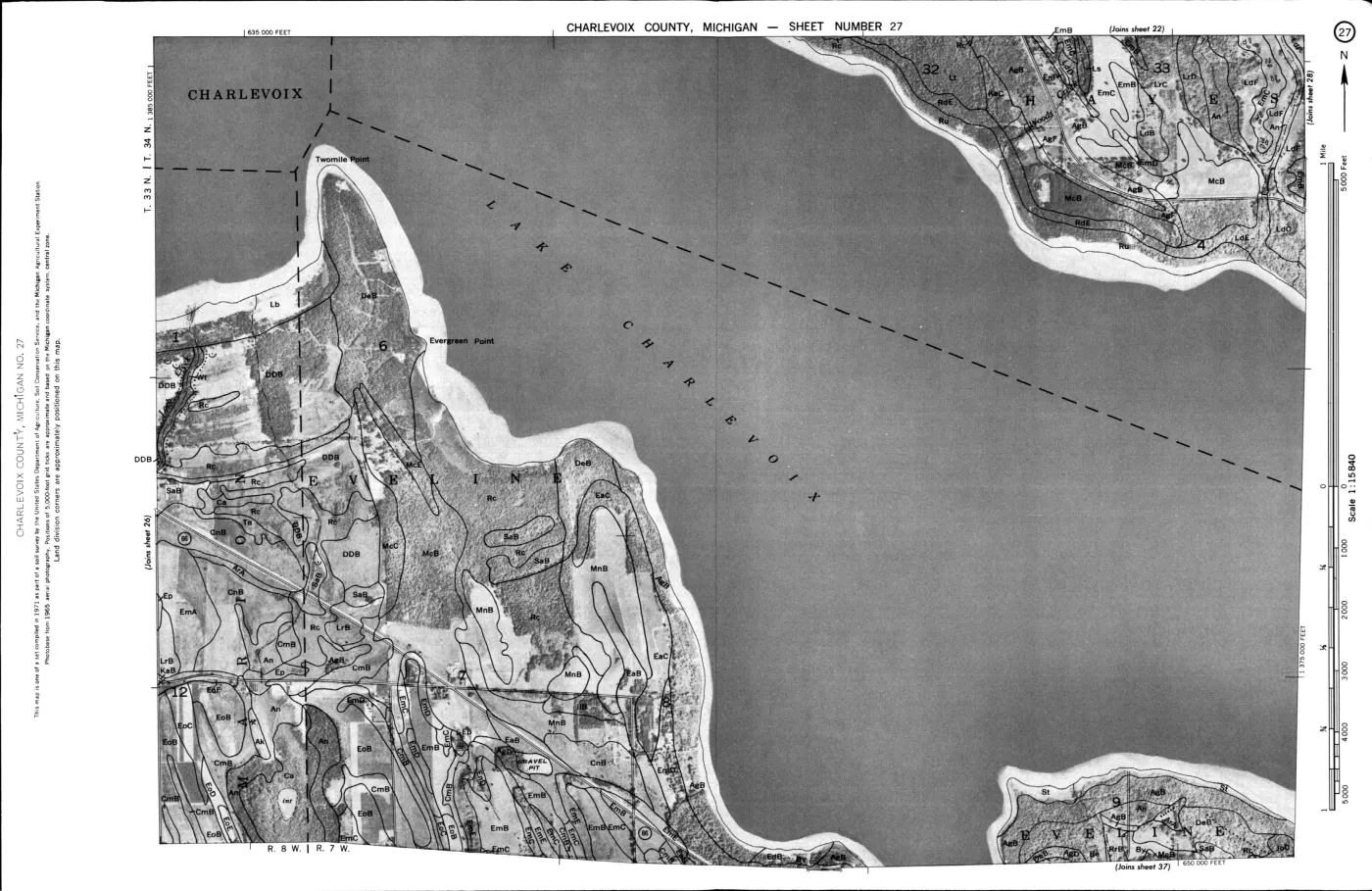
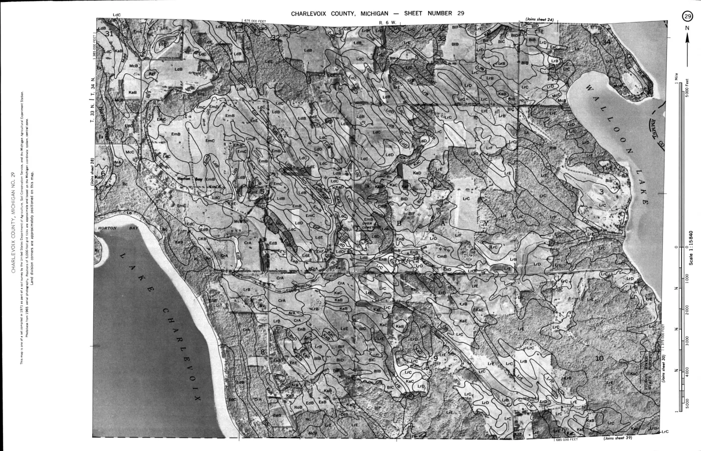
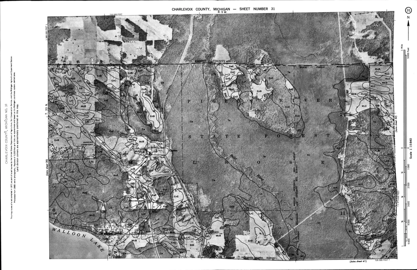
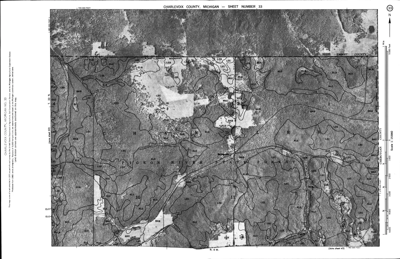
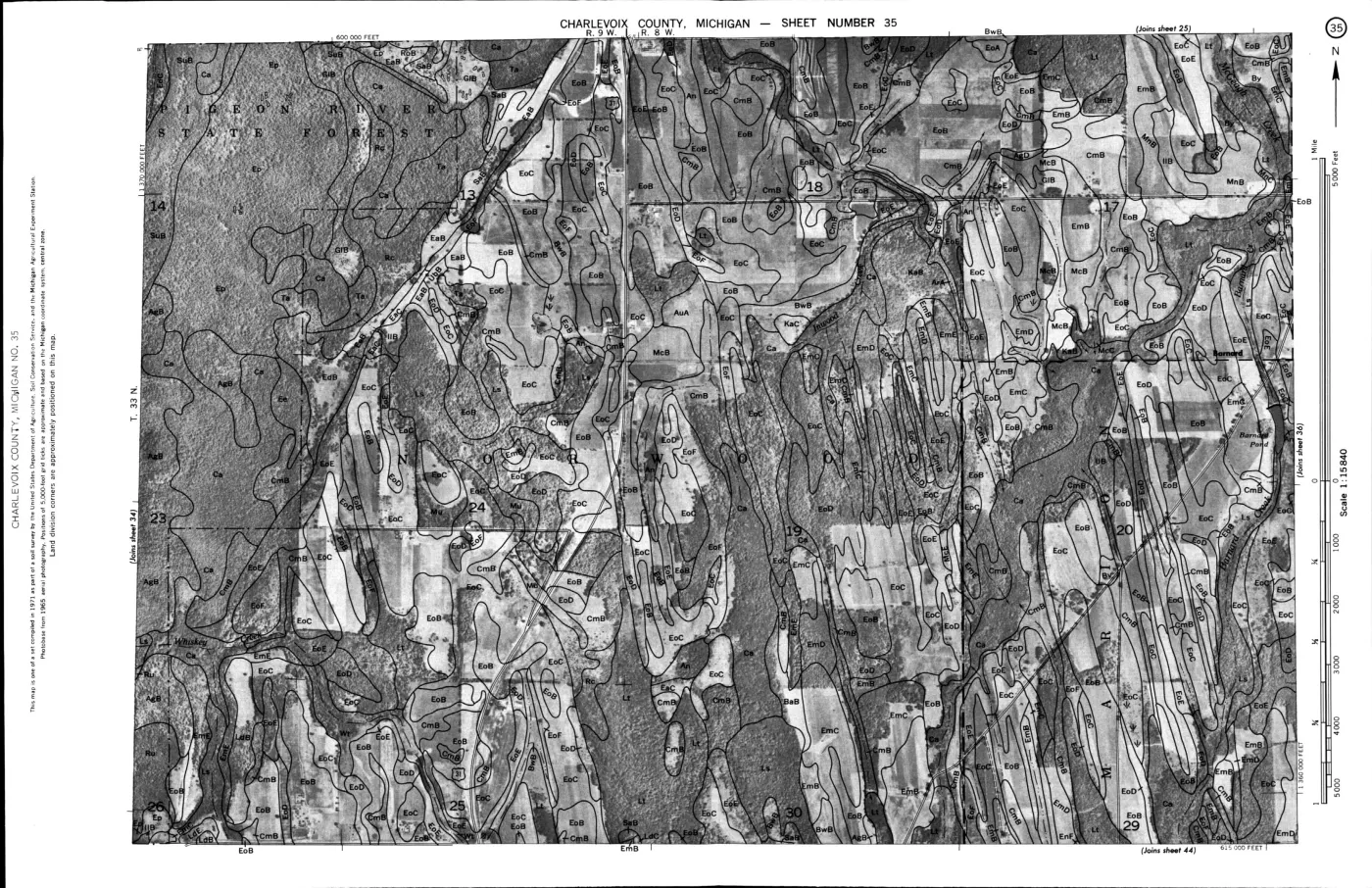
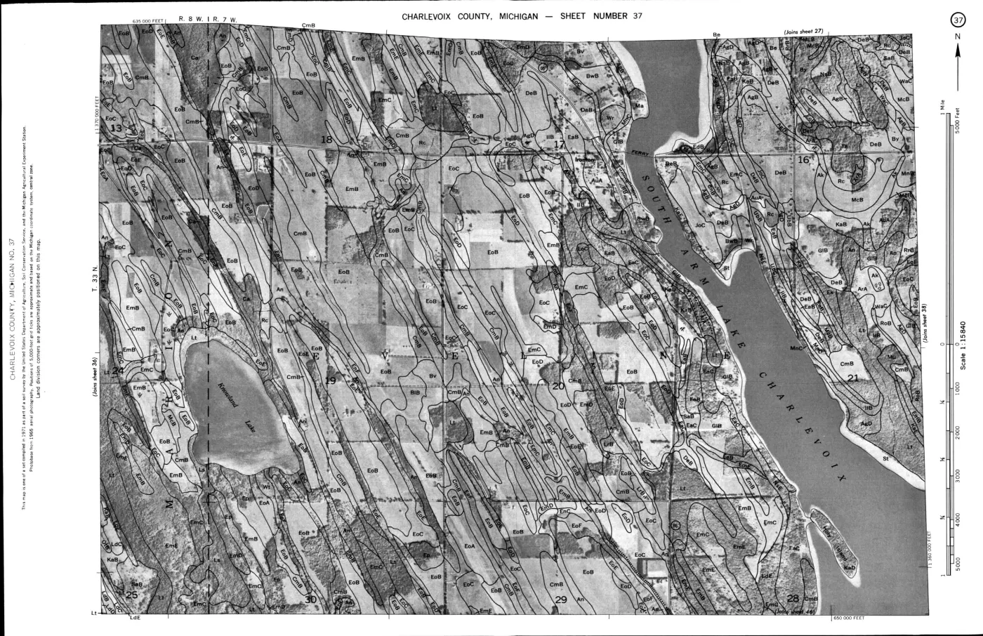
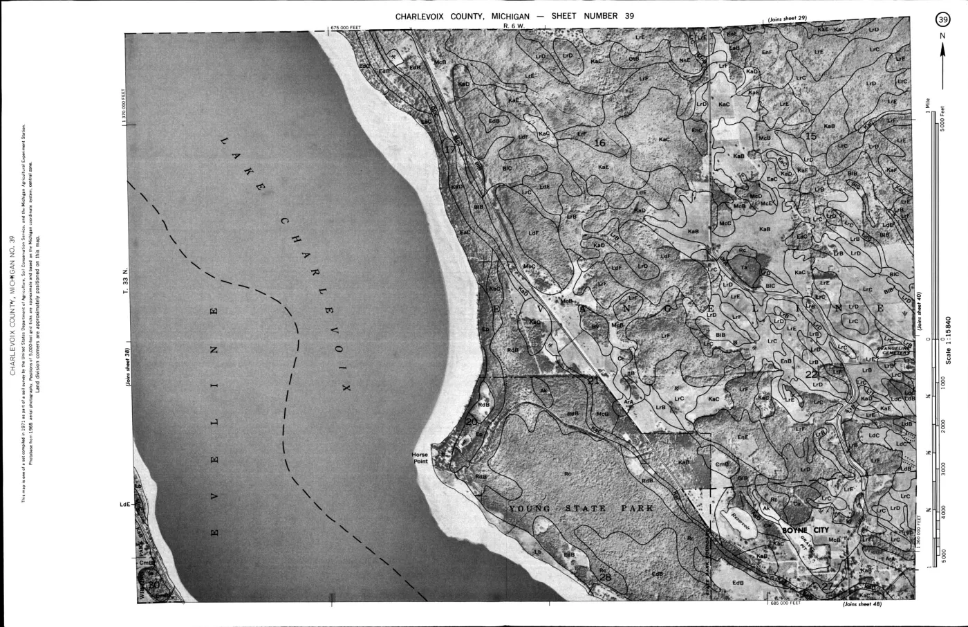
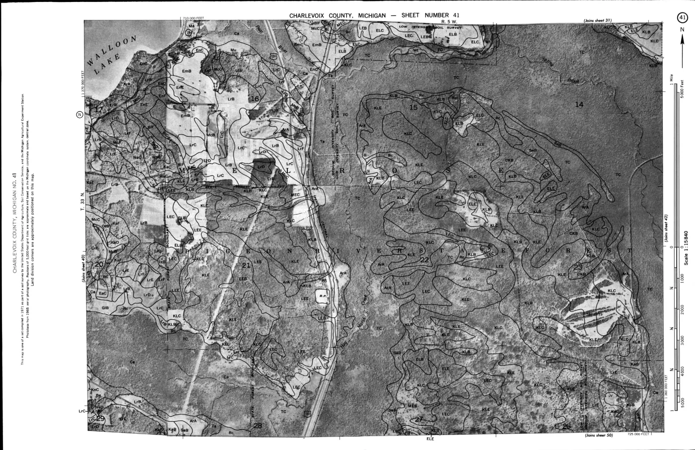
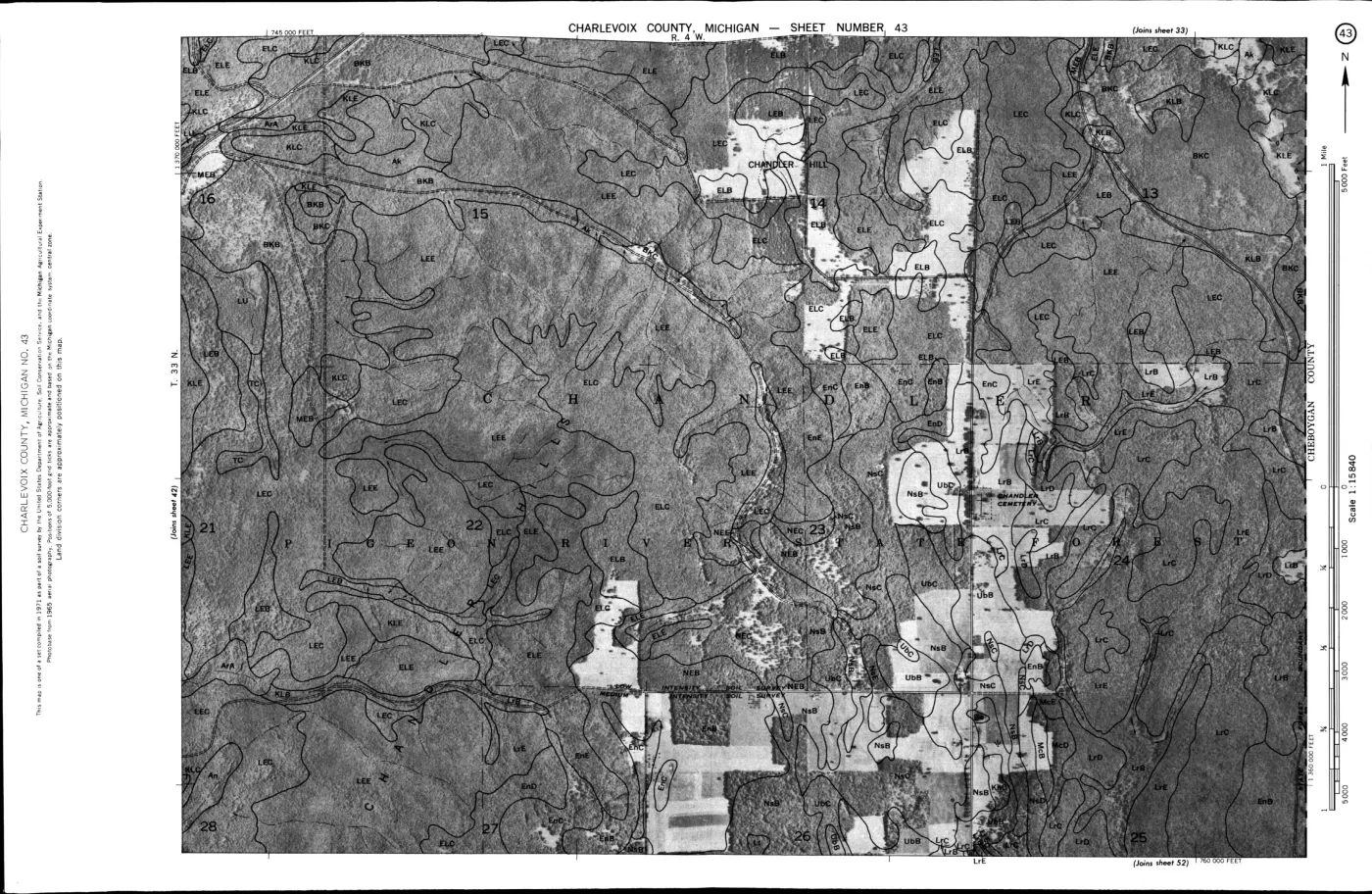
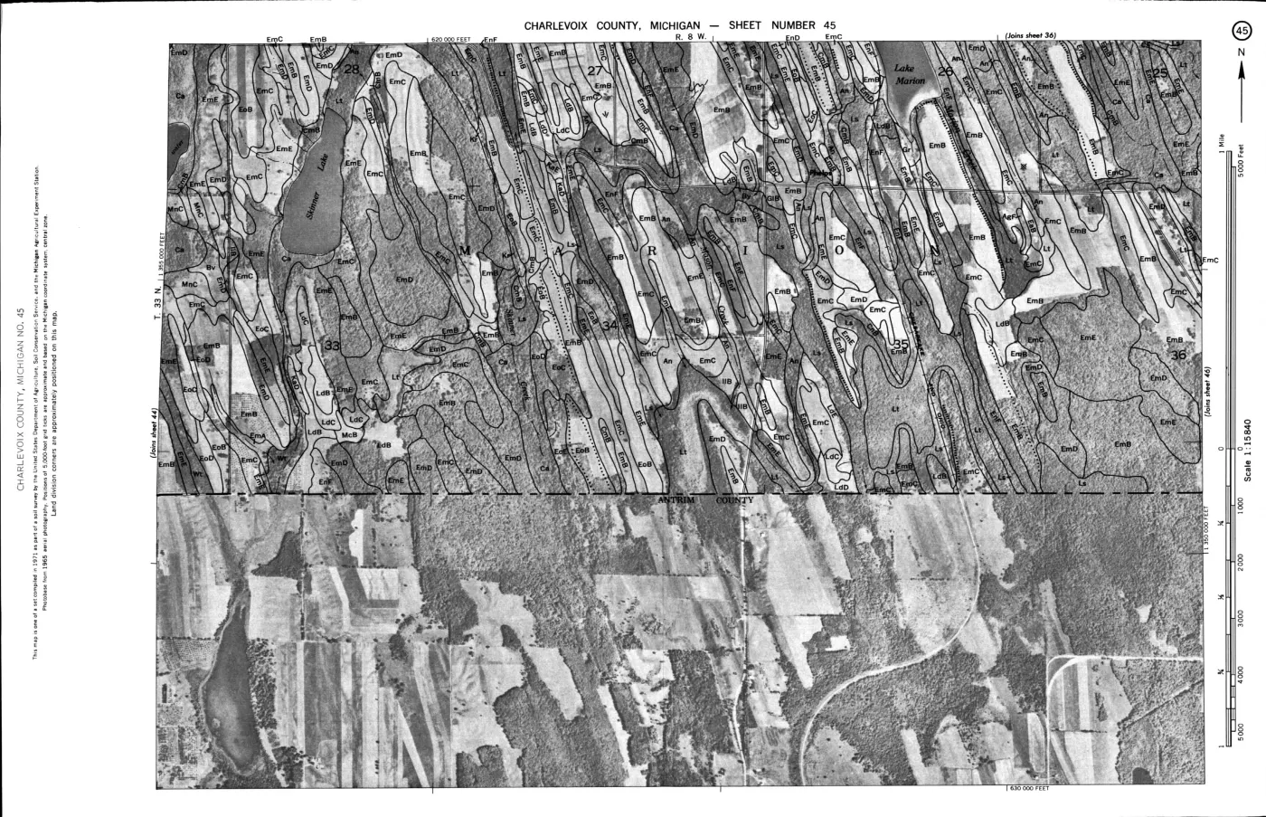
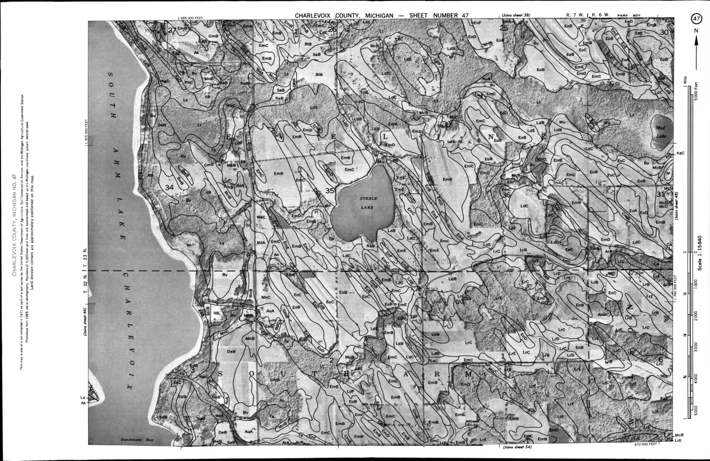
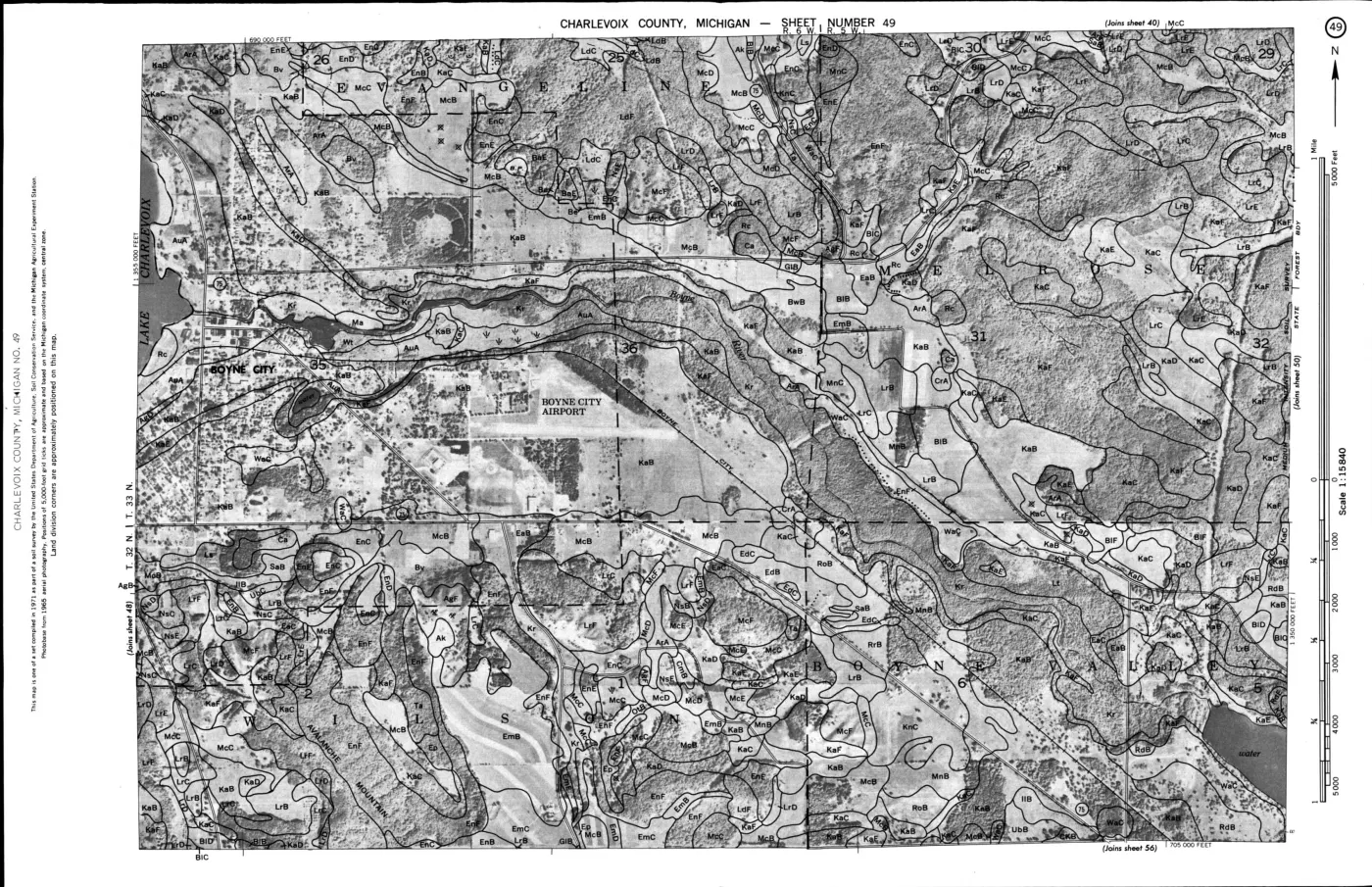
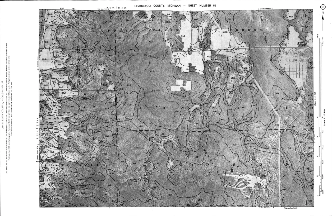
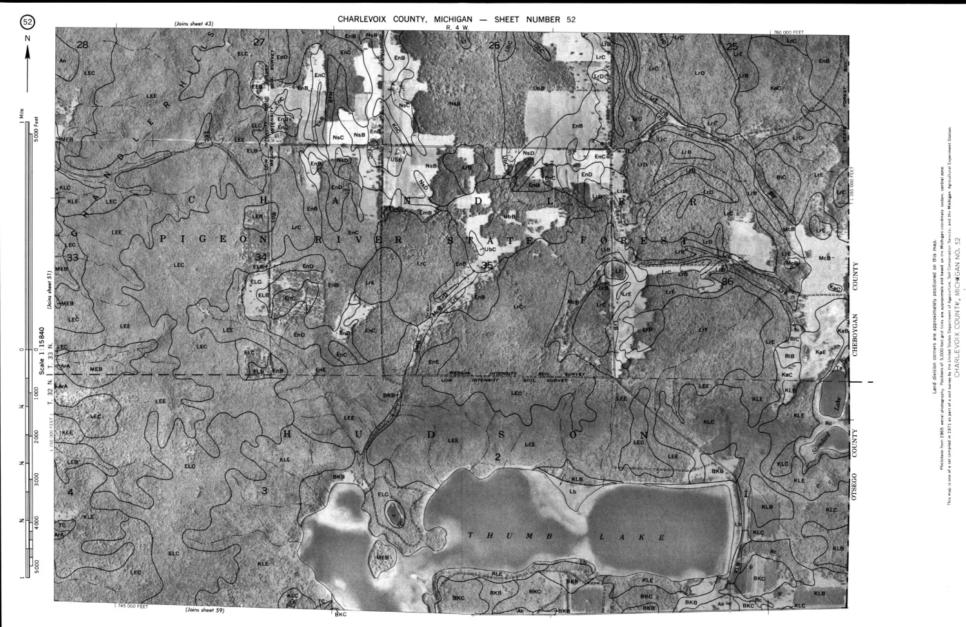
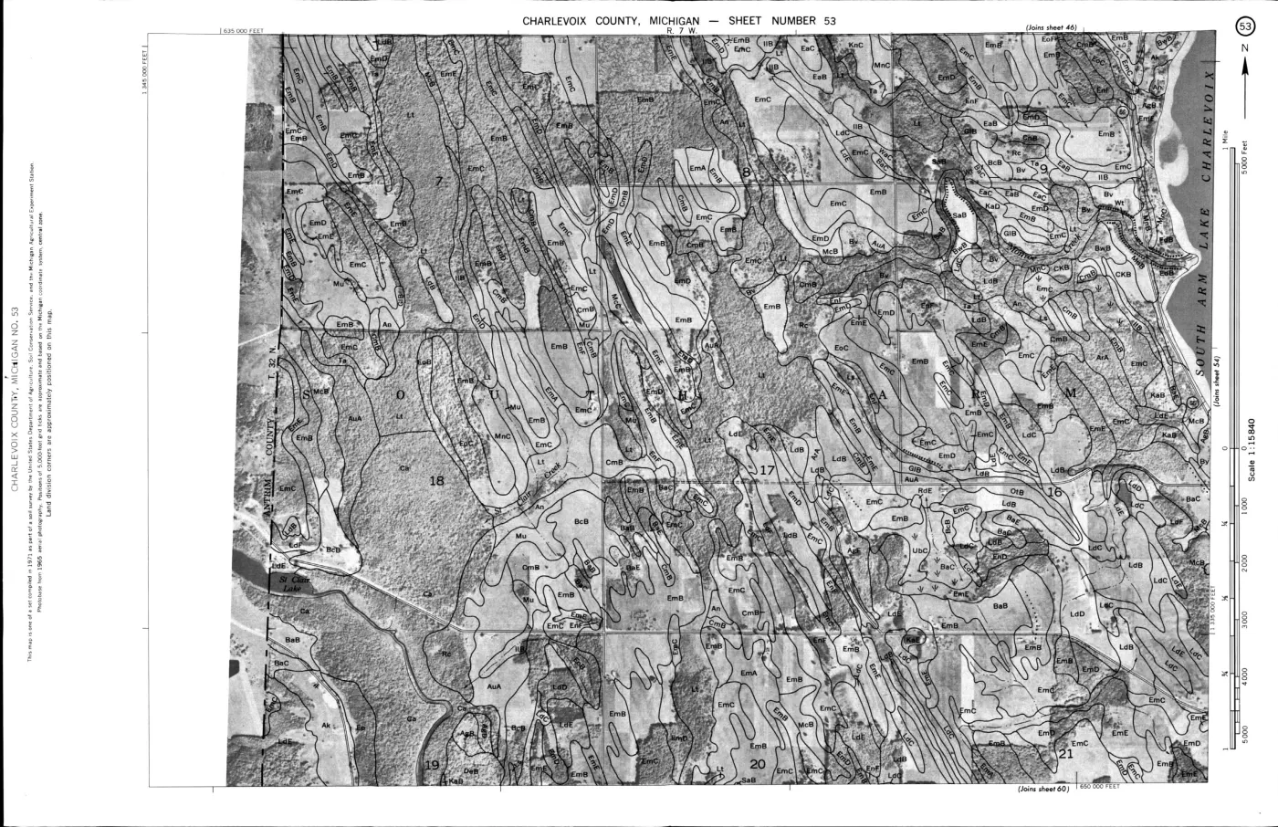
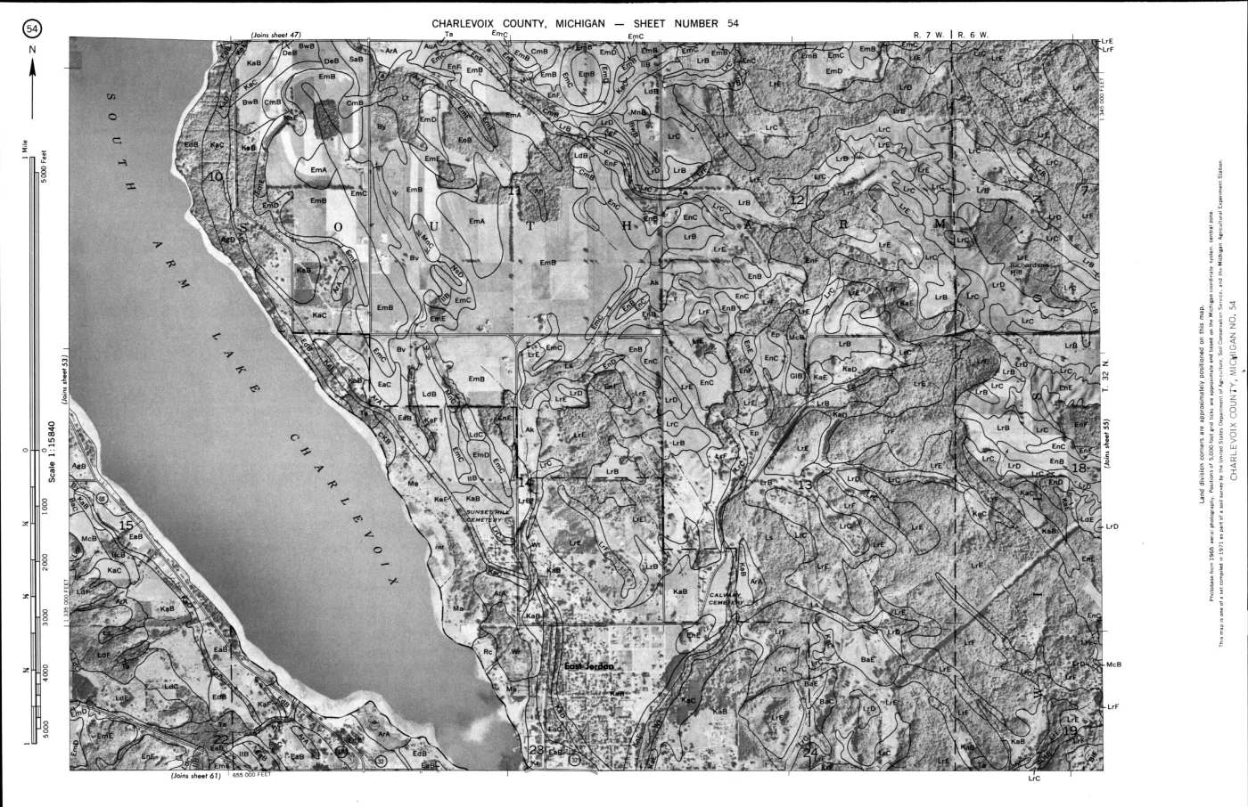
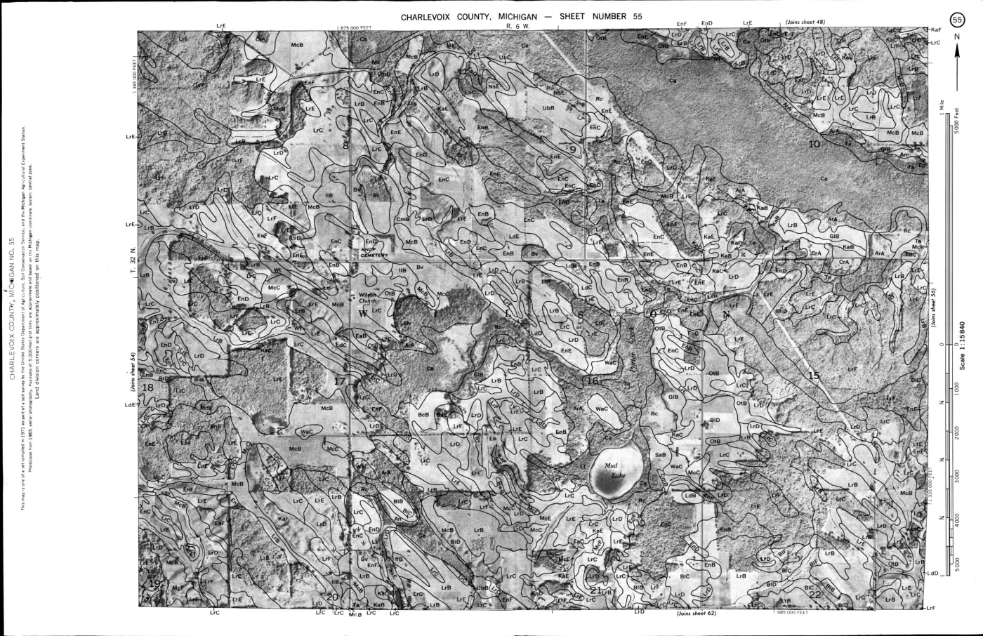
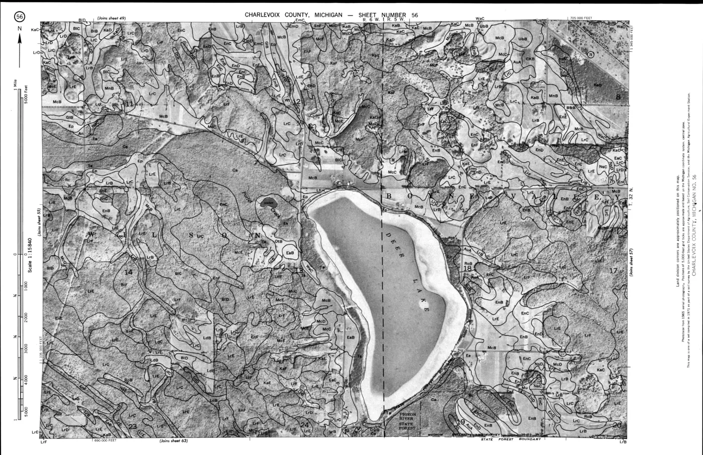
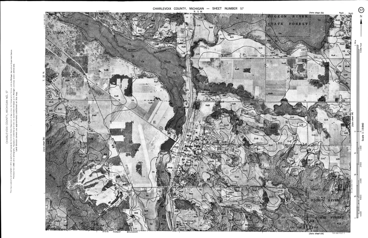
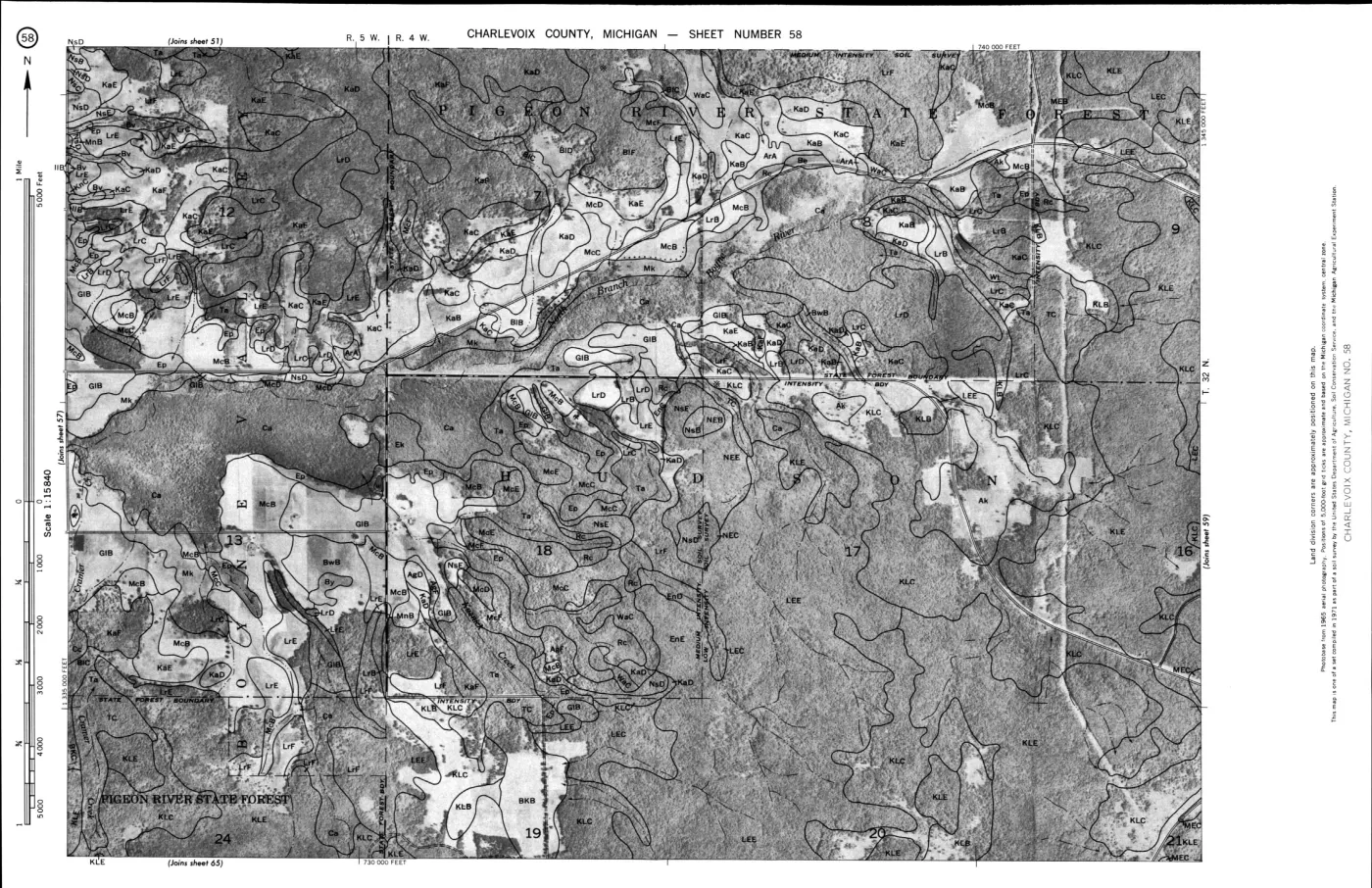
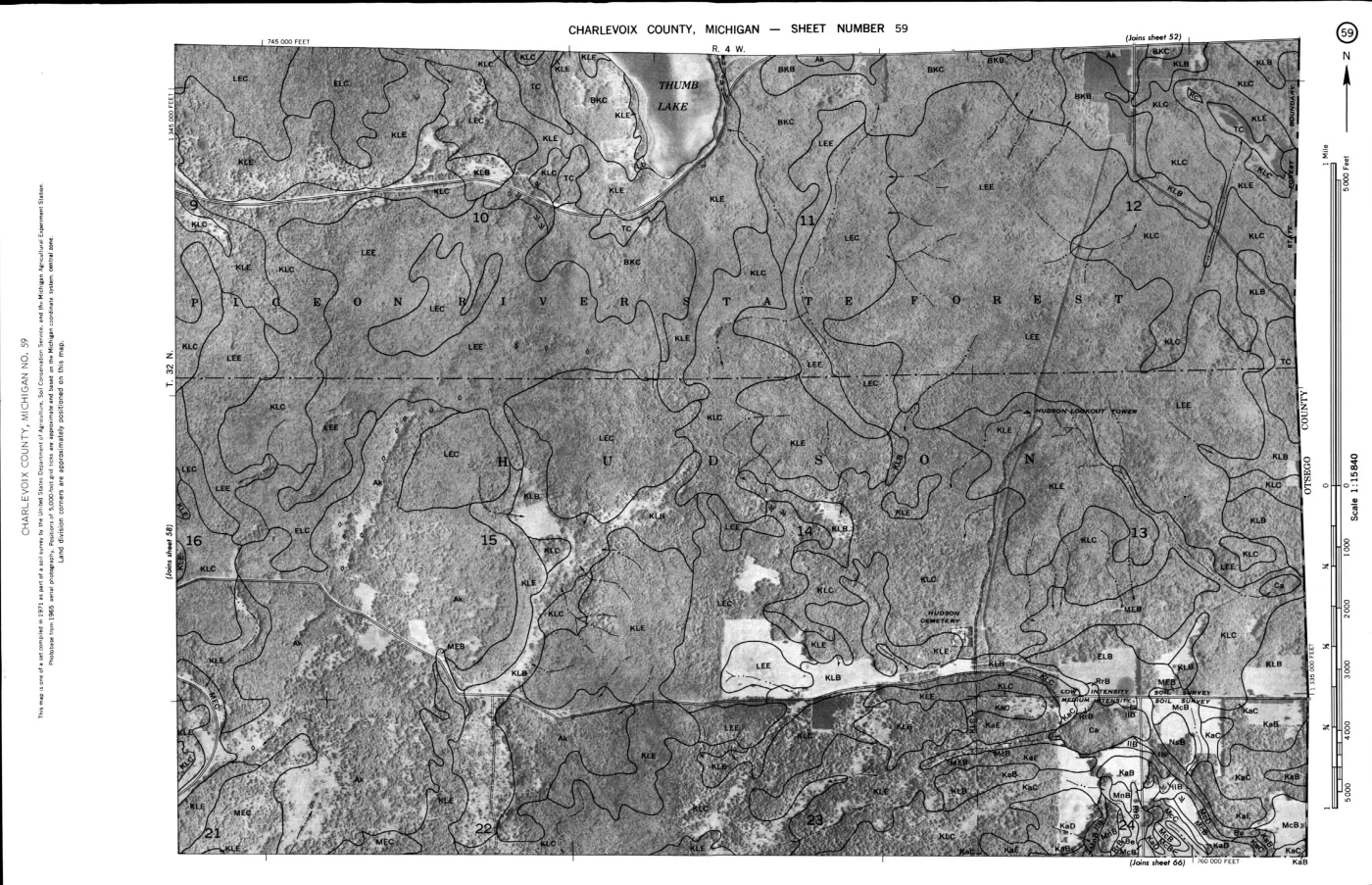
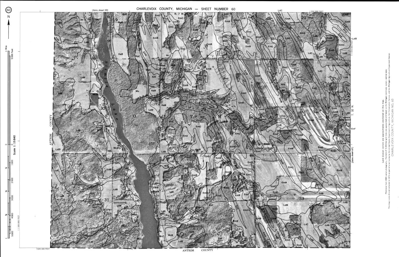
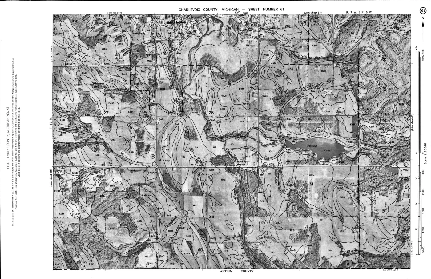
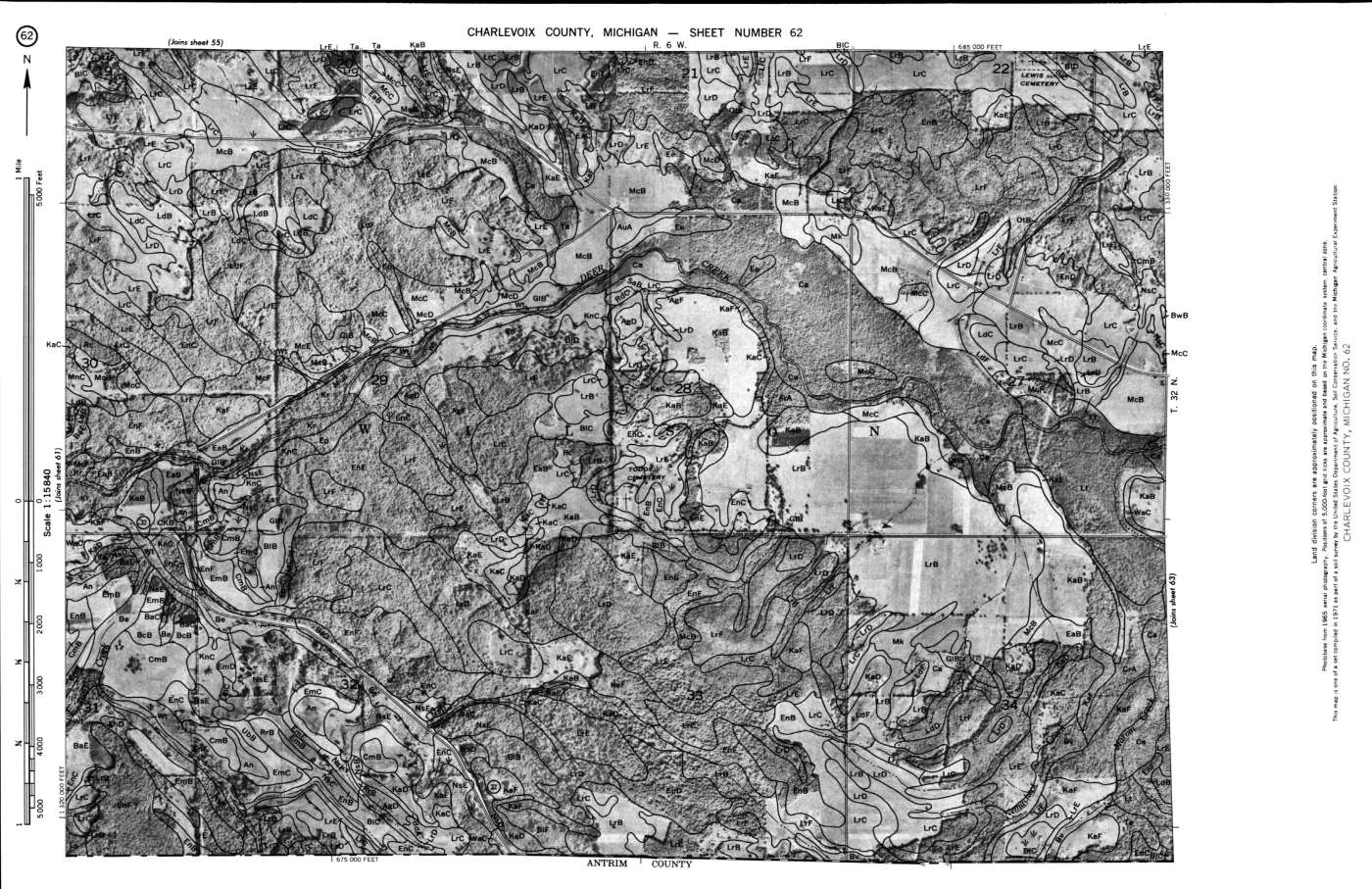
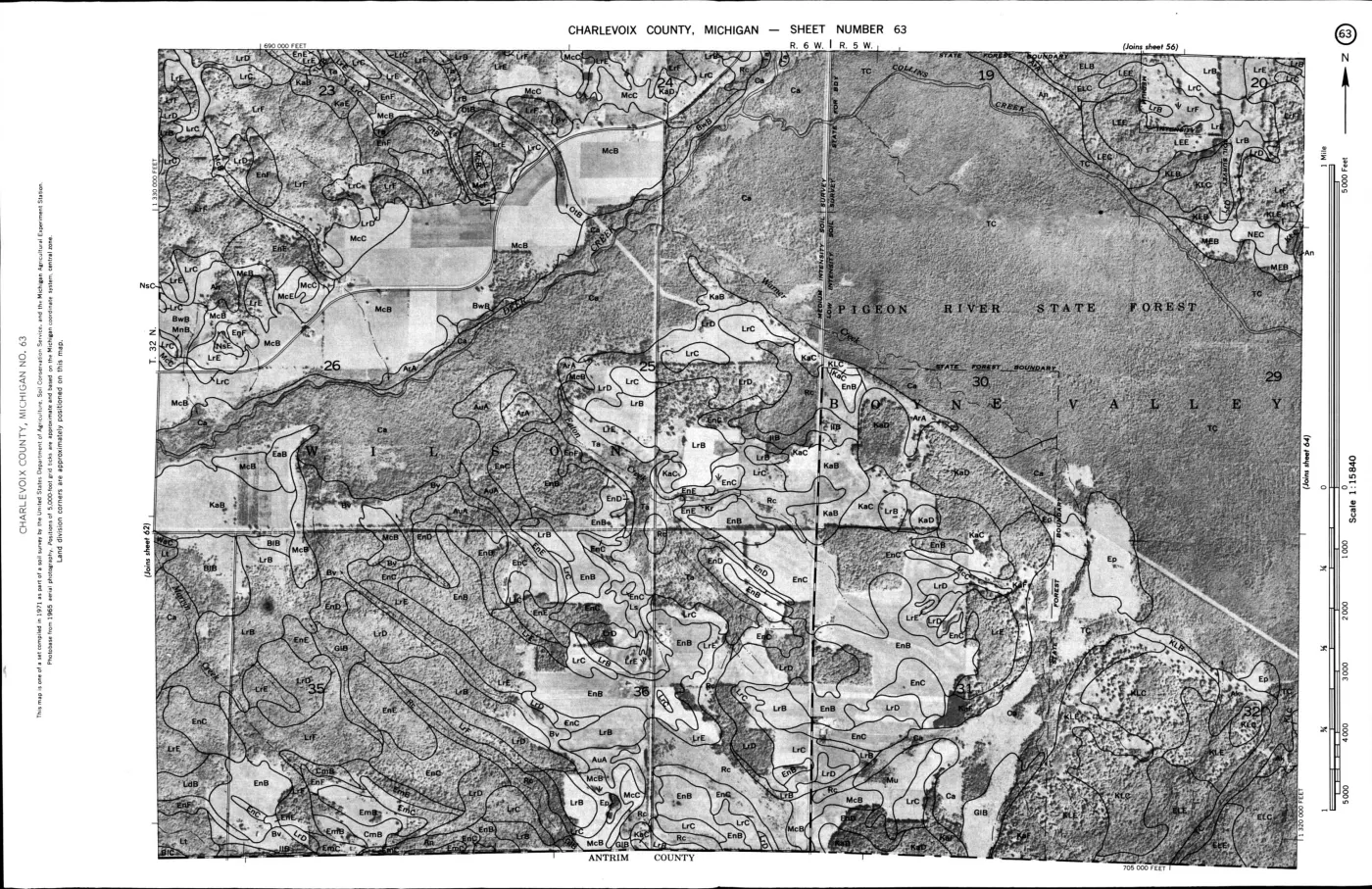
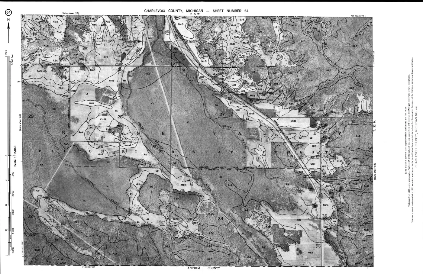
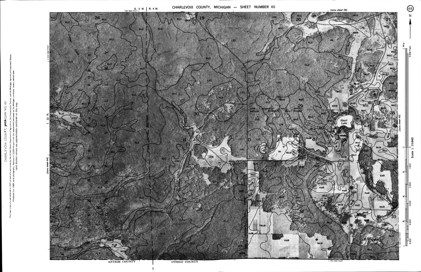
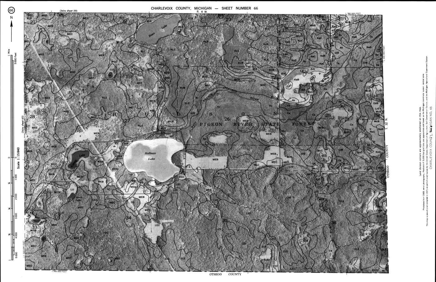
124 of 200 pages linked here — every page to 32, then every 2th, then the last 16. With JavaScript, every page.
Sources
- Project-generated USDA wildlife-habitat ratings connected to island-scale SSURGO map units (2026).Three-tier join: exact map-symbol relationships, SSURGO component-series records, and soil-series-name candidates for differing symbols; composite map-unit caveats are retained. No public copy of this file is known; the archive holds one and can provide it on request.soils · indices · usda_ssurgo_wildlife_island_crosswalk
- Project-generated builder and provenance sidecar for the USDA-SSURGO wildlife island crosswalk.Records source hashes, island summaries, map-unit area, component percentages, join tier, USDA row references, and application limits. No public copy of this file is known; the archive holds one and can provide it on request.scripts · build_usda_ssurgo_wildlife_island_crosswalk
- Project-generated USDA 1974 soil, woodland, tree-type, and wildlife evidence index.Provides 76 scan-verified rated rows across all 11 Table 4 columns, plus an explicitly unrated Made land entry. No public copy of this file is known; the archive holds one and can provide it on request.soils · indices · usda_soil_woodland_wildlife_evidence_index
- Project-generated island-scale SSURGO soil crosswalk for the Beaver archipelago.Provides the seven island outlines, SSURGO map-unit symbols, names, polygon counts, and intersected areas used here. No public copy of this file is known; the archive holds one and can provide it on request.soils · ssurgo_island_soil_ecology_crosswalk
- The paired MI029 and MI089 exports provide comp.txt records, including component series names and representative percentages keyed to map-unit mukey.soils · wss_SSA_MI029_soildb_MI_2003_[2025-09-03]
- Leelanau County component table used for North and South Fox Island map units.soils · wss_SSA_MI089_soildb_MI_2003_[2025-09-04]
- The scan is authoritative for Table 4 cells; its ratings are historical soil-management interpretations, not current wildlife observations.geology · publications · usda_1974_charlevoix_soil_survey
Added 3 August 2026. Recent changes
Cite this article
Beaver Island Archive, “USDA wildlife-habitat ratings connected to island-scale SSURGO map units”, https://beaverislandarchive.org/documents/usda-ssurgo-wildlife-island-crosswalk-2026/, accessed [date], citing Project-generated USDA wildlife-habitat ratings connected to island-scale SSURGO map units (2026). (and 6 further sources listed on the page).
Last revised 2026-08-03. Fill in [date] with the date you read it — this page is static and cannot know that.
BibTeX for “USDA wildlife-habitat ratings connected to island-scale SSURGO map units”RIS for “USDA wildlife-habitat ratings connected to island-scale SSURGO map units”