

- Date
- 1974
- Eras
- Modern era
- Concepts
- soilsgeologyforestsvegetationwildlifewetlandsconservationagriculture
- Within
- Beaver Island archipelago · Beaver Island · Garden Island · High Island · Hog Island
What this index adds
The 1974 USDA Soil Survey of Charlevoix County is already in the corpus as a soil-map and narrative source. Its most useful ecology bridge is easy to miss: the survey groups soils by woodland suitability, names preferred tree species, describes hazards such as wetness, erosion, drought, and windthrow, and then rates broad soil suitability for wildlife-habitat elements. This index makes those sections searchable without turning a county recommendation into a current island inventory.
The index contains 18 source-section records:
| Record type | Count | Scope |
|---|---|---|
| Woodland types | 3 | Aspen and white birch, pines, and conifer swamp |
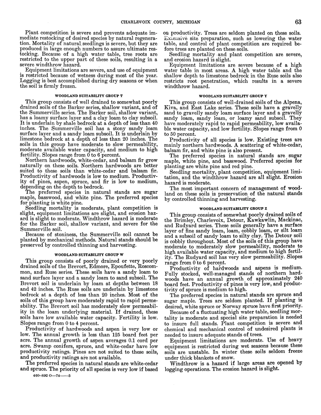
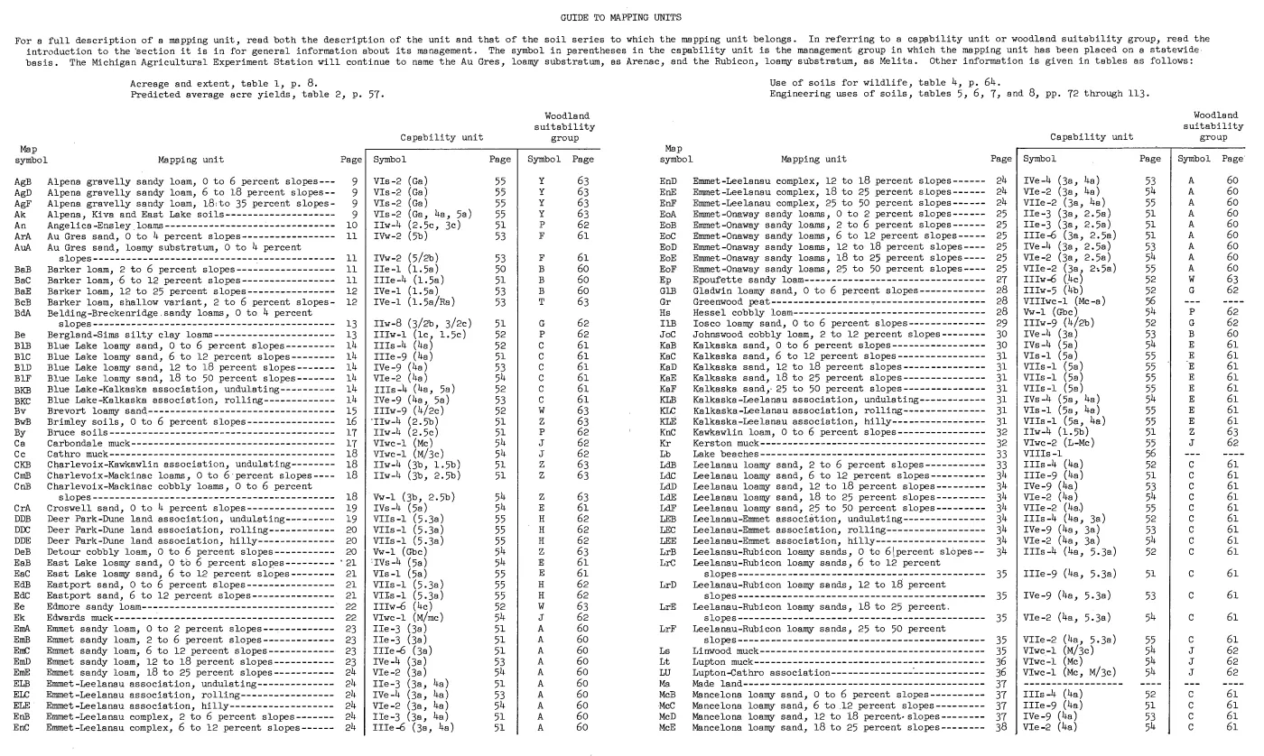
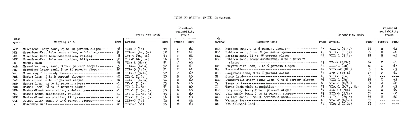
| Woodland suitability groups | 13 | Groups A, B, C, E, F, G, H, J, P, T, W, Y, and Z |
| Wildlife-habitat table | 1 | Table 4, broad soil suitability for 11 habitat and wildlife elements |
| Rated table rows | 76 | All rated rows across the three paired table-page sets; one Made land row is preserved as unrated |
| Island-named soil association | 1 | Roscommon–Charlevoix–Mackinac association on Beaver, Garden, High, and Hog |
The JSON preserves the complete OCR section text, one-based OCR line ranges, PDF pages, and transparent parser-derived terms. The PDF remains the authority when a scan and OCR disagree.
The survey’s three woodland types
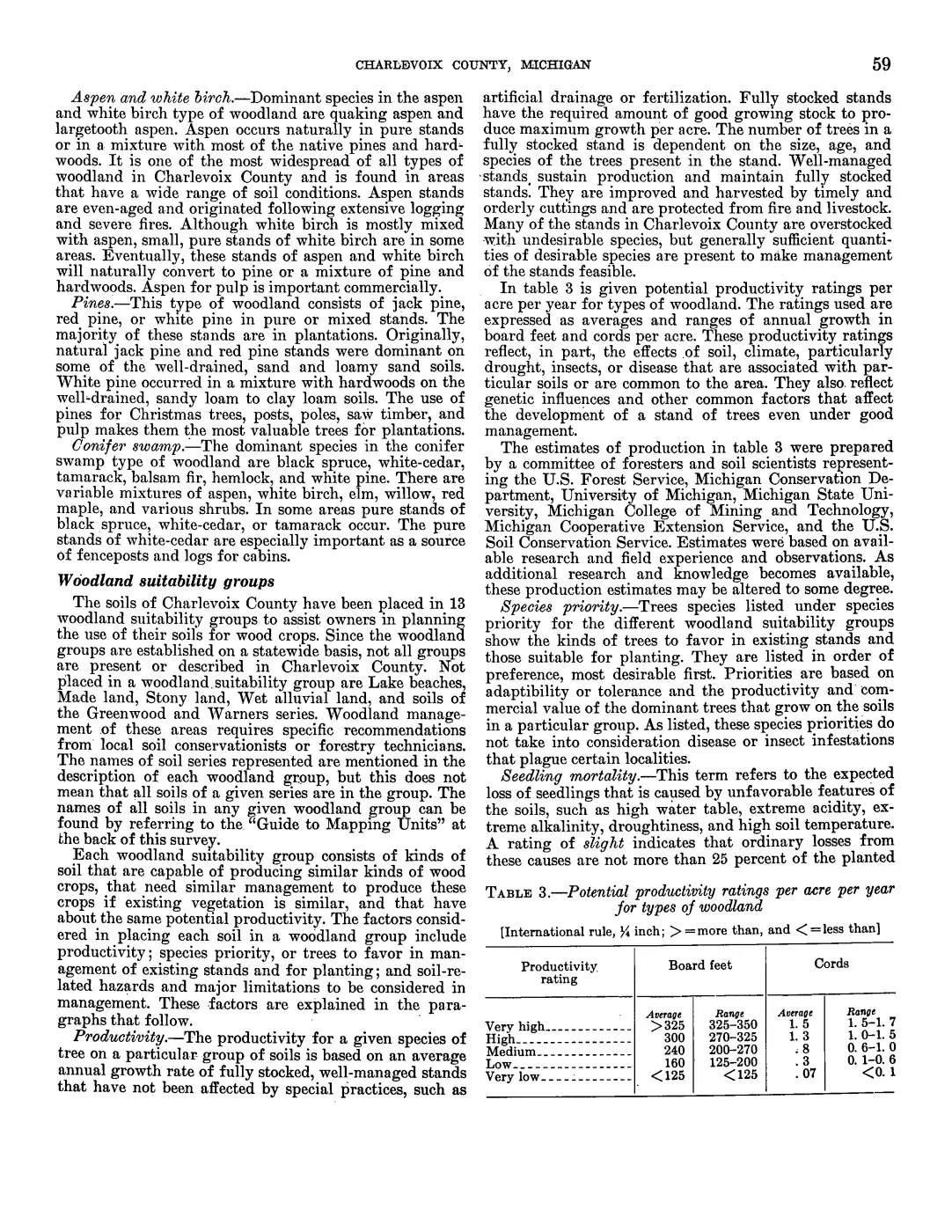
The survey’s aspen and white-birch section describes quaking and largetooth aspen, white birch, even-aged stands following extensive logging and severe fires, and eventual conversion toward pine or mixed pine-hardwood stands. Its pines section names jack pine, red pine, and white pine, distinguishing natural pine on well-drained sand and loamy sand from plantations and white pine mixed with hardwoods on better-drained sandy-loam to clay-loam soils. The conifer swamp section names black spruce, white cedar, tamarack, balsam fir, hemlock, and white pine, with aspen, birch, elm, willow, red maple, and shrubs in mixed stands.
These are county woodland types, not descriptions of every Beaver Island stand. They provide historical vocabulary for reading the island-specific MNFI and DNR records: a source can discuss cedar, spruce, pine, aspen, or hardwoods without implying that the 1974 county type is a current natural-community classification.
Soil conditions and woodland priorities
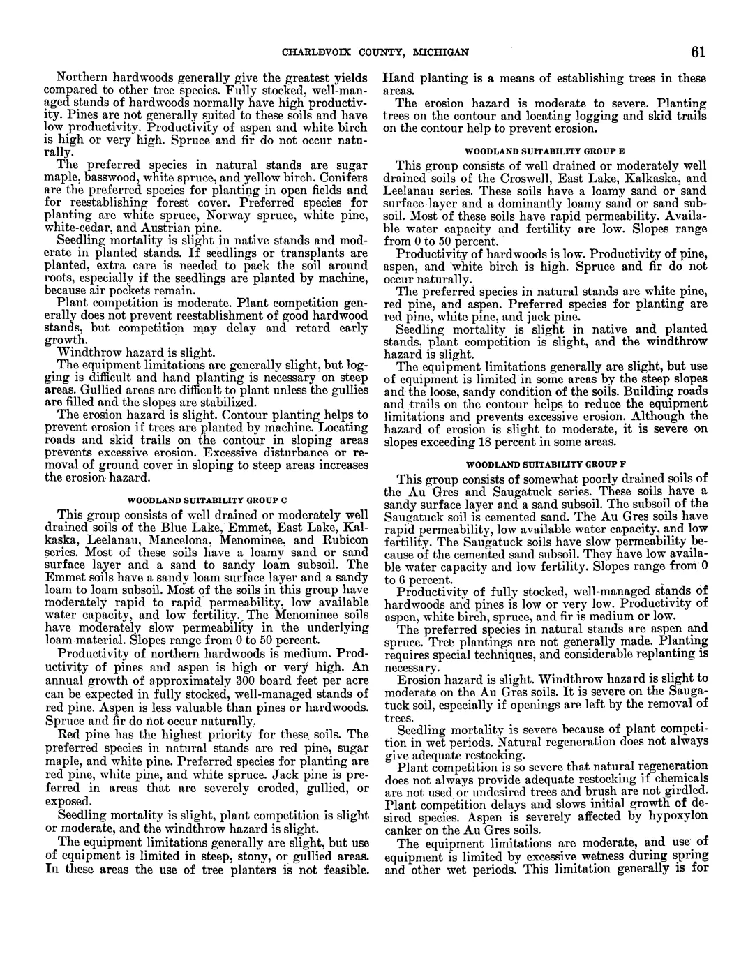
The 13 suitability groups are a management taxonomy based on drainage, permeability, water capacity, fertility, slope, species priority, seedling mortality, plant competition, equipment limits, erosion, and windthrow. The following compact map is derived from the preserved group sections:
| Group | Soil setting and named series | Tree emphasis in the survey |
|---|---|---|
| A | Well to moderately well-drained Emmet, Leelanau, Onaway, and Ubly soils | Northern hardwoods, sugar maple, basswood, red pine, white pine; white spruce and pines for planting |
| B | Better-drained Barker, Emmet, Johnswood, and Nester soils, including loam and cobbly loam | Northern hardwoods, sugar maple, basswood, white spruce, white cedar, and white pine |
| C | Sandy Blue Lake, East Lake, Emmet, Kalkaska, Leelanau, Mancelona, Menominee, and Rubicon soils | Red pine has highest priority; white pine, sugar maple, white spruce, and jack pine on exposed or eroded sites |
| E | Rapidly permeable Croswell, East Lake, Kalkaska, and Leelanau sands | White pine, red pine, jack pine, aspen, and white birch; hardwood productivity is low |
| F | Somewhat poorly drained Au Gres and Saugatuck sands | Aspen and spruce; wetness, plant competition, and windthrow constrain planting and equipment |
| G | Poorly to very poorly drained Belding, Breckenridge, Gladwin, Iosco, and Otisco soils | White spruce, white pine, yellow birch, and white cedar if drained; wet-period equipment limits |
| H | Deer Park, Eastport, Rubicon, Wallace, and Dune land on sandy ridges and dunes | Red pine, white pine, jack pine; drought, loose sand, wind, and soil blowing matter |
| J | Very poorly drained organic soils including Carbondale, Cathro, Kerston, Linwood, Lupton, Markey, and Tawas | Existing lowland hardwoods and swamp conifers; high water table, unstable soils, and windthrow dominate |
| P | Poorly to very poorly drained Angelica, Bergland, Bruce, Ensley, Hessel, Munuscong, and Sims soils | Spruce, white cedar, and balsam fir; shallow roots and wetness produce severe windthrow and equipment limits |
| T | Barker shallow variant and Summerville over shale or limestone bedrock | Northern hardwoods, white cedar, and balsam fir; natural stands should be preserved where stony or shallow |
| W | Poorly to very poorly drained Brevort, Edmore, Epoufette, Roscommon, and Ruse soils | White cedar and spruce; low productivity, high water table, and severe equipment limits |
| Y | Well-drained gravelly Alpena, Kiva, and East Lake soils | Northern hardwoods with white cedar, balsam fir, and white pine; preserve natural stands |
| Z | Somewhat poorly drained Brimley, Charlevoix, Detour, Kawkawlin, Mackinac, and Rudyard soils | Spruce and sugar maple; fluctuating water table and plant competition complicate regeneration |
The table is useful as a controlled comparison, not as a prescription. For example, the survey’s sandy dune group and the MNFI dune occurrences overlap in vocabulary—sand, drought, pine, erosion, and wind—but they are different records at different scales and dates.
The explicitly island-named association
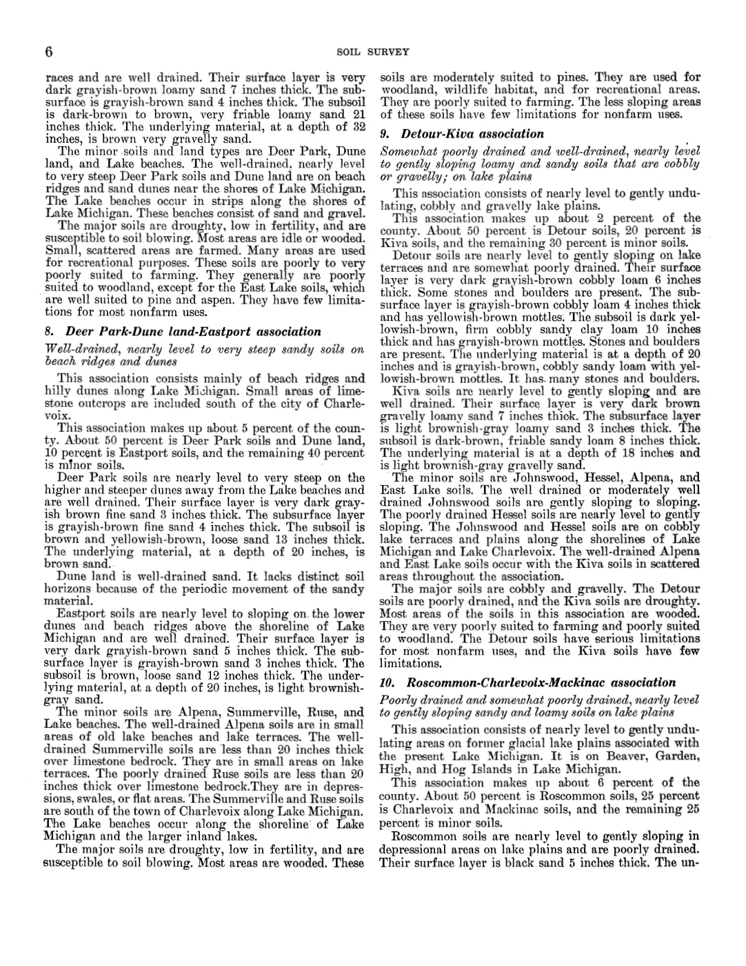
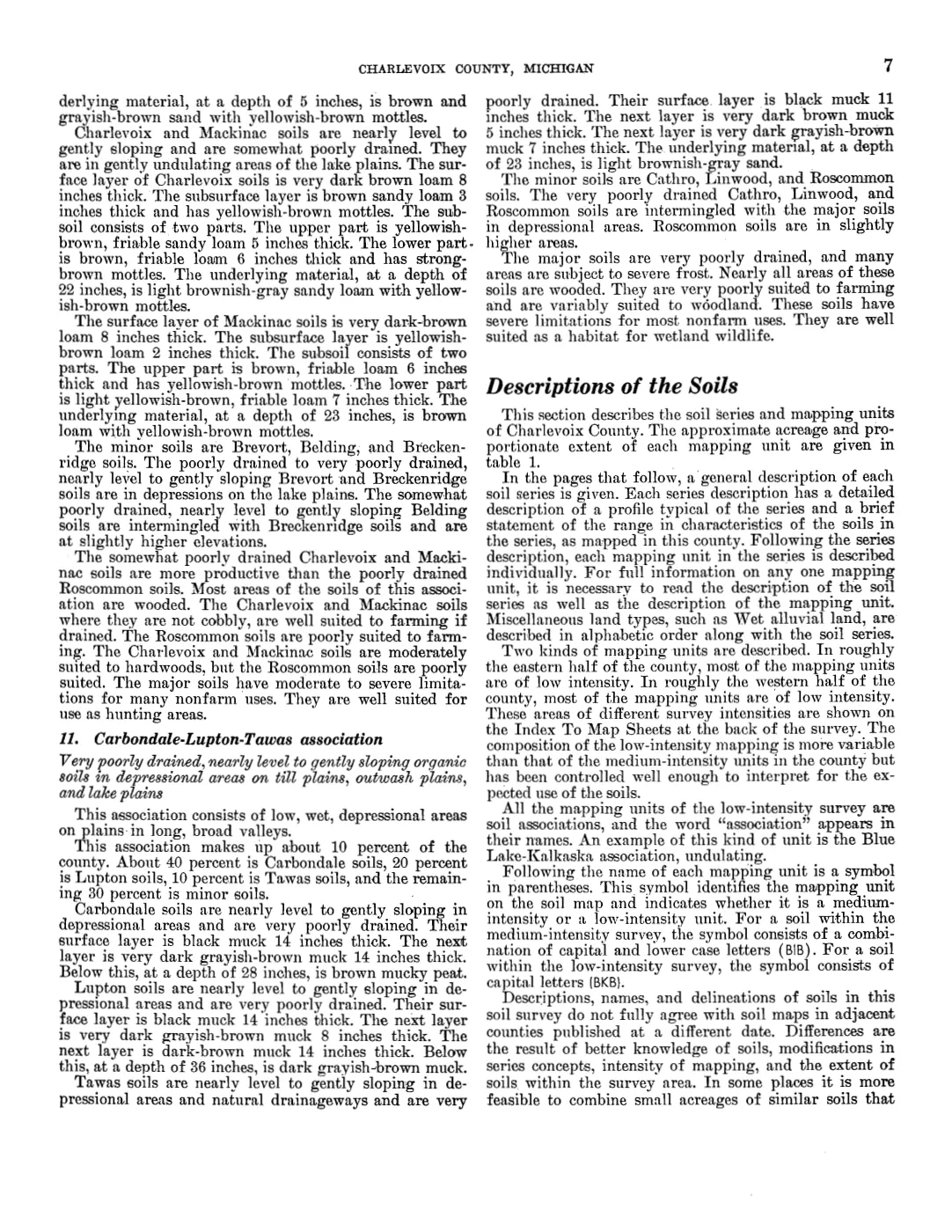
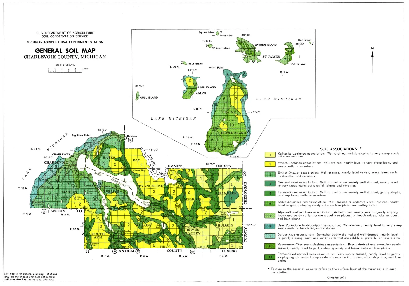
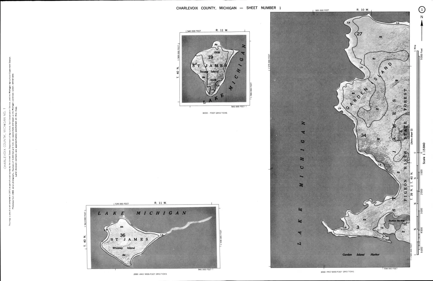
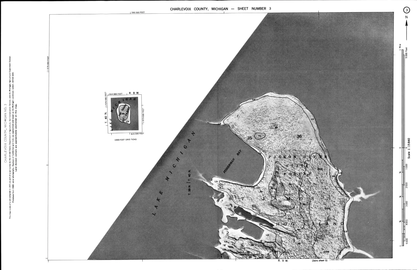
The survey’s Roscommon–Charlevoix–Mackinac association is the strongest direct island connection in this section. It says the nearly level to gently undulating former glacial-lake-plain soils occur on Beaver, Garden, High, and Hog Islands. Roscommon is described as poorly drained sand in depressions; Charlevoix and Mackinac as somewhat poorly drained loamy soils with mottled profiles; and the association as mostly wooded and well suited to hunting areas. The survey says Charlevoix and Mackinac are more productive than Roscommon and moderately suited to hardwoods, while Roscommon is poorly suited to farming and hardwoods.
This is an explicit county-survey statement, not an occurrence boundary. It does not assign each island the same acreage, soil series, forest type, or wildlife population. The island-level SSURGO crosswalk and MNFI occurrence records remain separate layers for spatial and field evidence.
Wildlife-habitat table
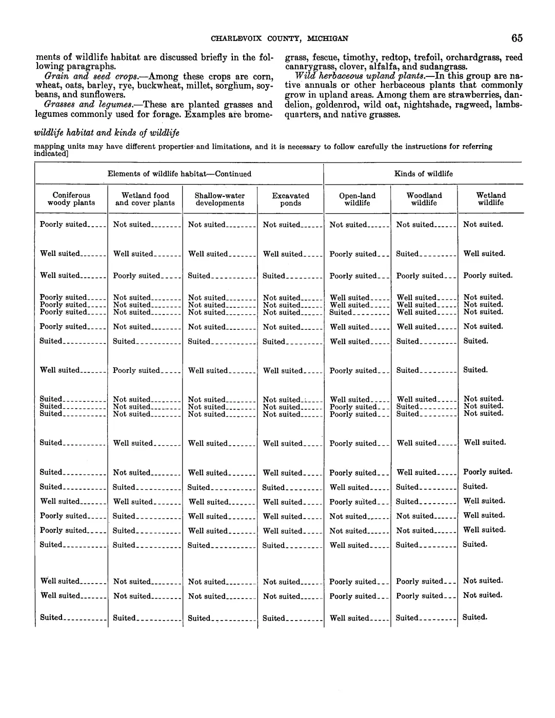
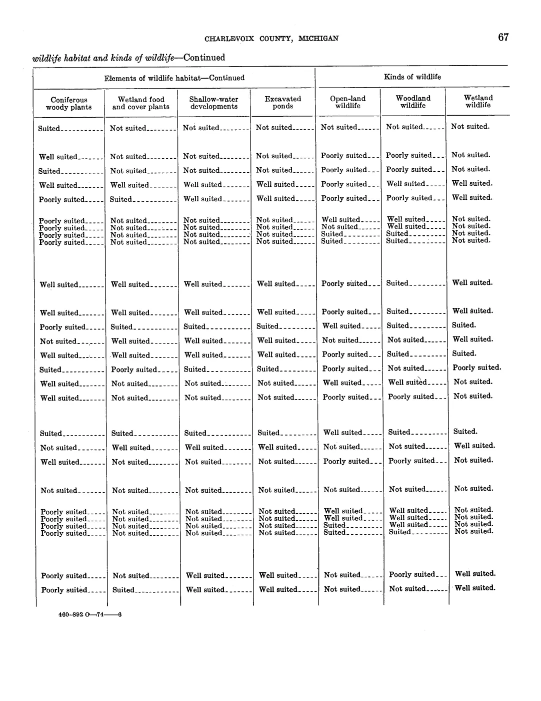
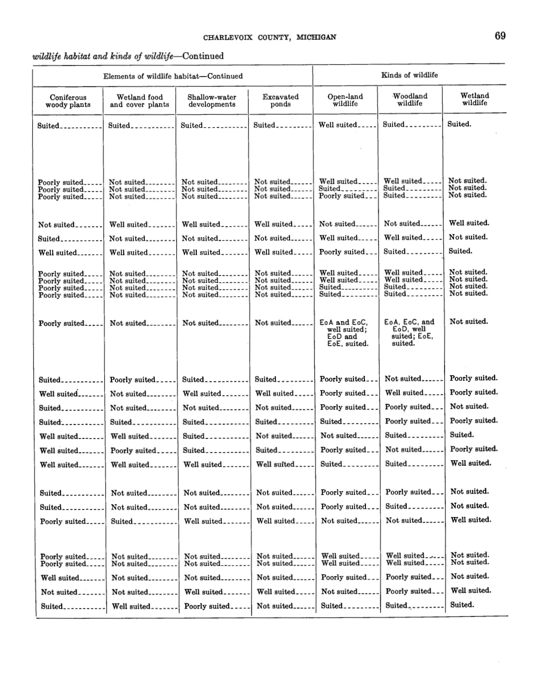
Table 4 rates soil map units for 11 broad habitat and wildlife elements. The first four are grain and seed crops, grasses and legumes, wild herbaceous upland plants, and hardwood woody plants; the continuation page adds coniferous woody plants, wetland food and cover plants, shallow-water developments, excavated ponds, open-land wildlife, woodland wildlife, and wetland wildlife. Its ratings—“well suited,” “suited,” “poorly suited,” or “not suited”—are soil-management interpretations. They do not report birds, mammals, nesting, abundance, breeding success, or current occupancy.
All 76 rated rows have been checked directly against the paired scan pages and entered at row level for all 11 columns. The first four columns appear on the preceding page and the seven continuation columns on the following page, in the same table row order. The two tables below show 15 featured rows; the complete 76-row set is in the JSON index, including composite rows whose source cells contain conditional map-unit text rather than one flattened rating:
| Soil series or land type | Grain/seed | Grasses/legumes | Wild herbaceous | Hardwood woody |
|---|---|---|---|---|
| Alpena | Not suited | Not suited | Not suited | Poorly suited |
| Charlevoix | Suited | Suited | Well suited | Suited |
| Carbondale | Not suited | Poorly suited | Not suited | Not suited |
| Deer Park | Not suited | Poorly suited | Poorly suited | Poorly suited |
| Dune land | Not suited | Not suited | Not suited | Not suited |
| East Lake | Not suited | Poorly suited | Poorly suited | Poorly suited |
| Eastport | Not suited | Not suited | Poorly suited | Poorly suited |
| Greenwood | Not suited | Poorly suited | Not suited | Not suited |
| Kiva | Not suited | Poorly suited | Poorly suited | Poorly suited |
| Mackinac | Suited | Suited | Well suited | Suited |
| Roscommon | Not suited | Poorly suited | Poorly suited | Not suited |
| Stony land | Not suited | Poorly suited | Suited | Suited |
| Summerville | Not suited | Not suited | Poorly suited | Suited |
| Tawas | Not suited | Poorly suited | Not suited | Not suited |
| Wet alluvial land | Poorly suited | Poorly suited | Suited | Suited |
The paired-page continuation values are:
| Soil series or land type | Coniferous woody | Wetland food/cover | Shallow-water | Excavated ponds | Open-land wildlife | Woodland wildlife | Wetland wildlife |
|---|---|---|---|---|---|---|---|
| Alpena | Poorly suited | Not suited | Not suited | Not suited | Not suited | Not suited | Not suited |
| Charlevoix | Suited | Suited | Suited | Suited | Well suited | Suited | Suited |
| Carbondale | Poorly suited | Suited | Well suited | Well suited | Not suited | Not suited | Well suited |
| Deer Park | Well suited | Not suited | Not suited | Not suited | Poorly suited | Poorly suited | Not suited |
| Dune land | Suited | Not suited | Not suited | Not suited | Not suited | Not suited | Not suited |
| East Lake | Well suited | Not suited | Not suited | Not suited | Poorly suited | Poorly suited | Not suited |
| Eastport | Suited | Not suited | Not suited | Not suited | Poorly suited | Poorly suited | Not suited |
| Greenwood | Not suited | Well suited | Well suited | Well suited | Not suited | Not suited | Well suited |
| Kiva | Well suited | Not suited | Not suited | Not suited | Poorly suited | Poorly suited | Not suited |
| Mackinac | Suited | Suited | Suited | Suited | Well suited | Suited | Suited |
| Roscommon | Well suited | Not suited | Well suited | Well suited | Poorly suited | Well suited | Poorly suited |
| Stony land | Suited | Not suited | Not suited | Not suited | Poorly suited | Poorly suited | Not suited |
| Summerville | Suited | Not suited | Not suited | Not suited | Poorly suited | Suited | Not suited |
| Tawas | Poorly suited | Suited | Well suited | Well suited | Not suited | Not suited | Well suited |
| Wet alluvial land | Suited | Well suited | Poorly suited | Not suited | Suited | Suited | Suited |
The JSON records the paired PDF pages, row-order index, and all 11 verified
values for each rated row. The separate unrated_wildlife_rows field preserves
Made land’s instruction that individual areas require onsite investigation.
Seven rows have scan-verified ratings but no reliable OCR label match because
the OCR misread or dropped their map symbols; they are explicitly marked
scan-only-ocr-label-variant rather than treated as missing evidence.
The table nevertheless adds a useful historical bridge. Soil wetness, drainage, organic layers, stoniness, and woodland potential were treated as relevant to habitat planning in the same source that organized tree productivity and regeneration. This can be compared with the MNFI wildlife signals, Piping Plover foredune/cobble evidence, woodcock habitat study, mapped-dune reports, and GBIF observations—without collapsing any of those sources into the USDA ratings.
Scale and date discipline
The survey’s main fieldwork was 1959–1962, its soil names and descriptions were approved in 1966, and the publication is dated 1974. The woodland and wildlife sections describe Charlevoix County and use statewide suitability groups. Only the Roscommon–Charlevoix–Mackinac association is explicitly island-named in the extracted section.
Accordingly:
- The index does not infer that every island contains every soil series in a woodland group.
- It does not convert group recommendations into current forest composition, stand age, species abundance, or habitat occupancy.
- It does not replace SSURGO, MNFI field pages, the DNR stand layer, current NLCD/canopy products, or field verification.
- It preserves Fox Islands in the broader soil and ecology graph only through sources that actually cover them; this 1974 section does not silently extend the explicit Beaver/Garden/High/Hog statement to North or South Fox.
Open questions
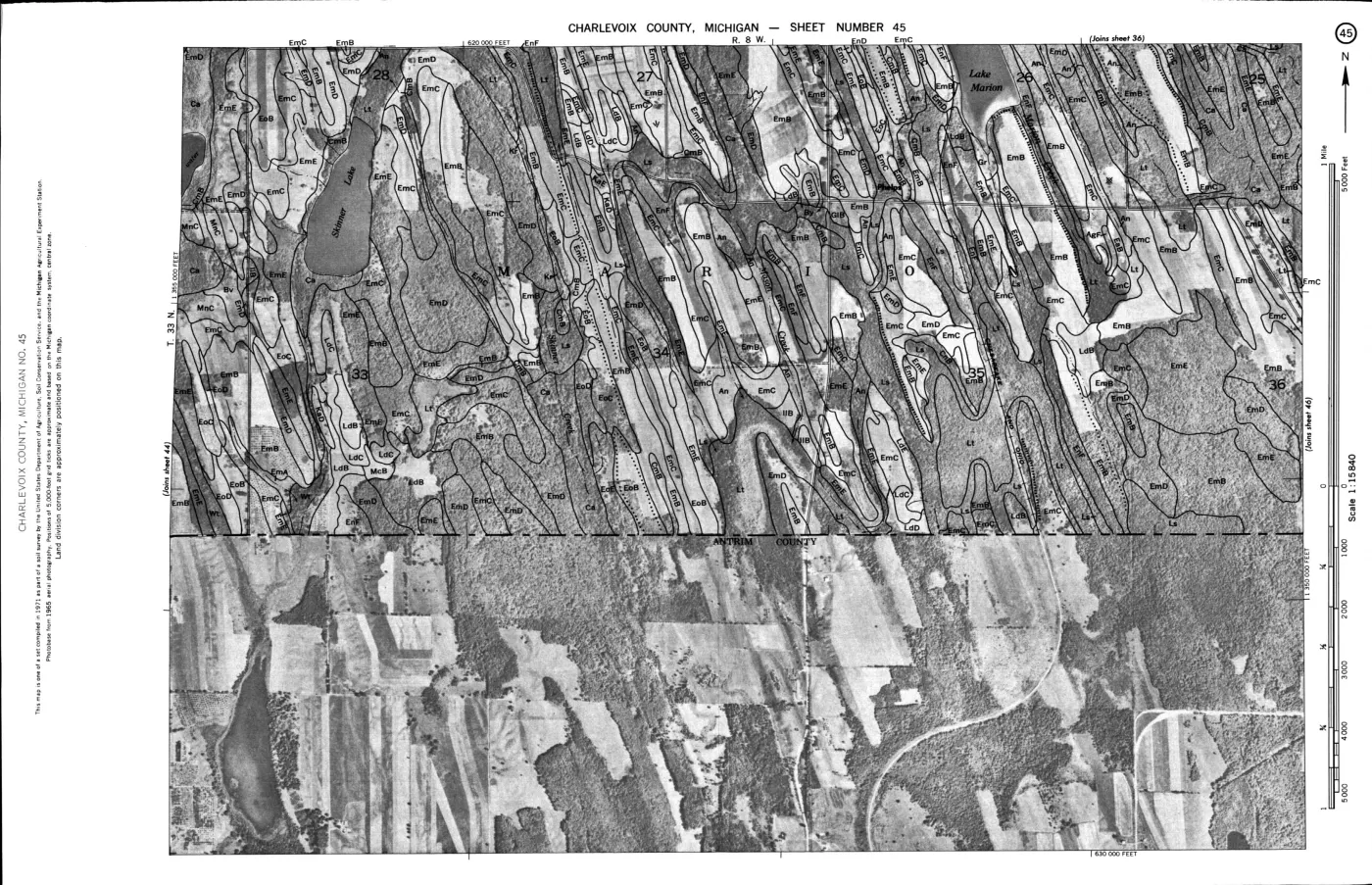
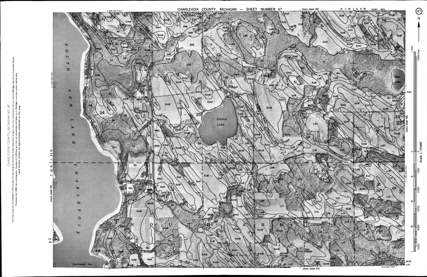
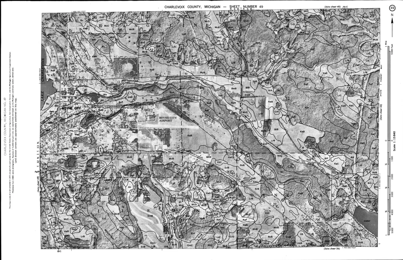
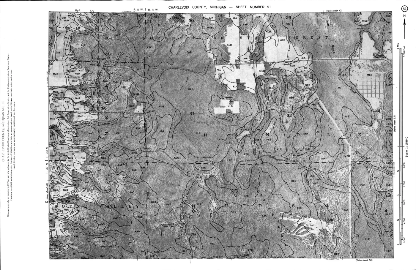
- Can the 1974 soil-map sheets be georeferenced well enough to compare the island-named association with current SSURGO map units without inventing parcel-level boundaries?
- Which MNFI natural-community occurrences correspond most closely to the survey’s organic-soil, dune-sand, cobbly, and shallow-bedrock settings?
- Can the composite conditional cells be linked to the corresponding SSURGO map units without losing the survey’s original conditional wording?
- Which later DNR, MNFI, or local records document changes in the tree types, drainage, erosion, or wildlife habitat described by the 1974 survey?
See also
Read the document
200 pages, rendered from the held scan.
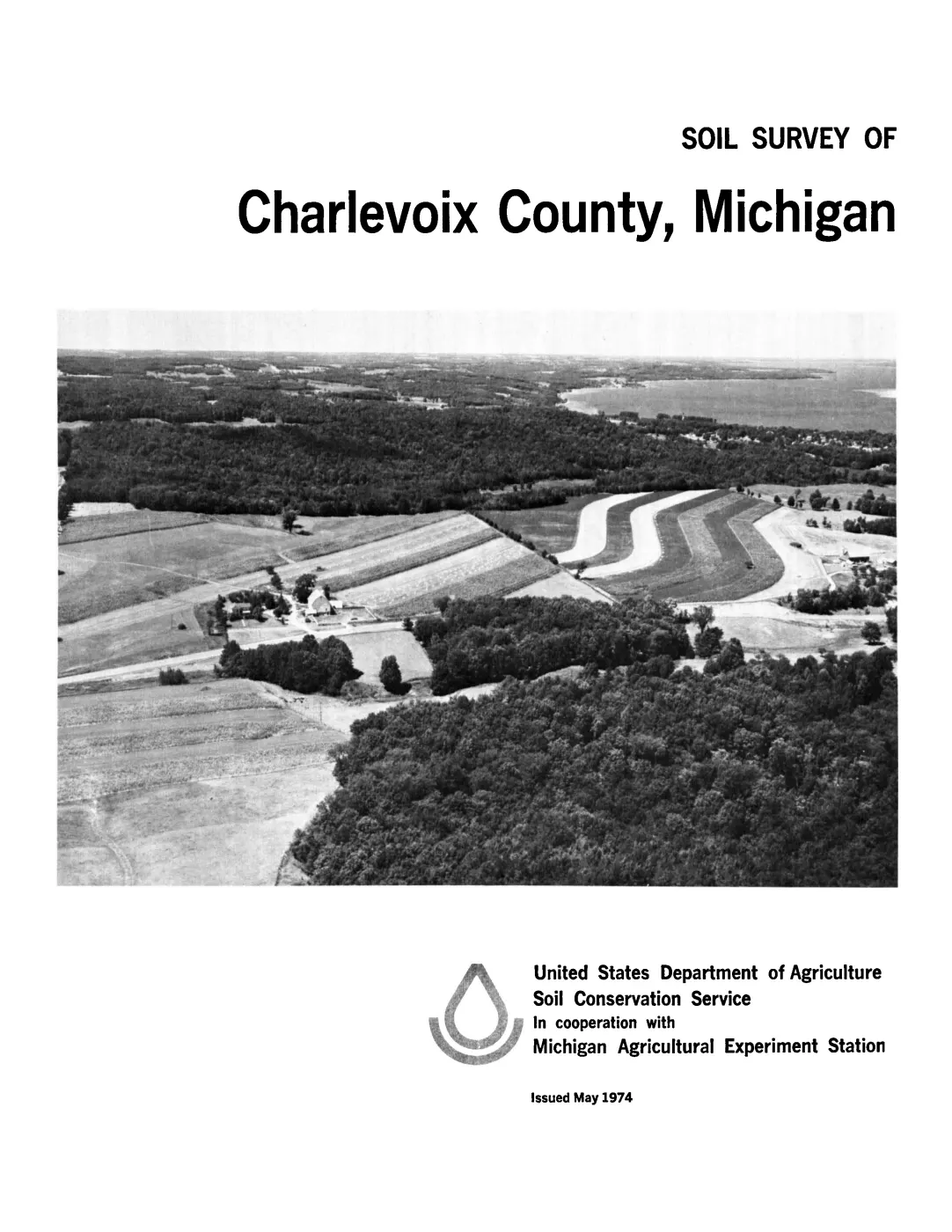
Jump to a page — 200 in all
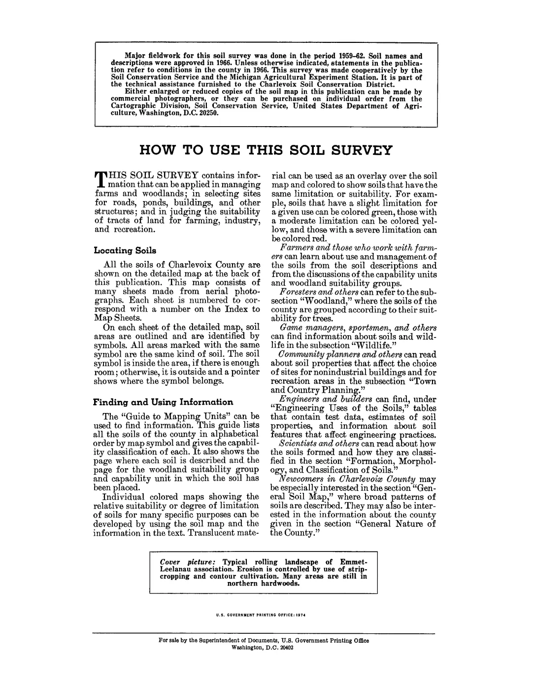
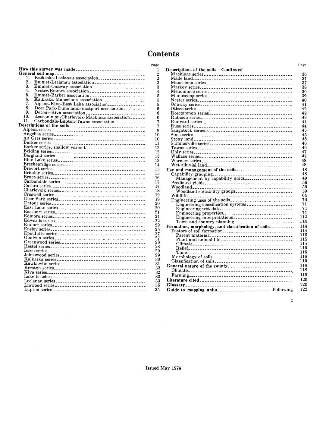

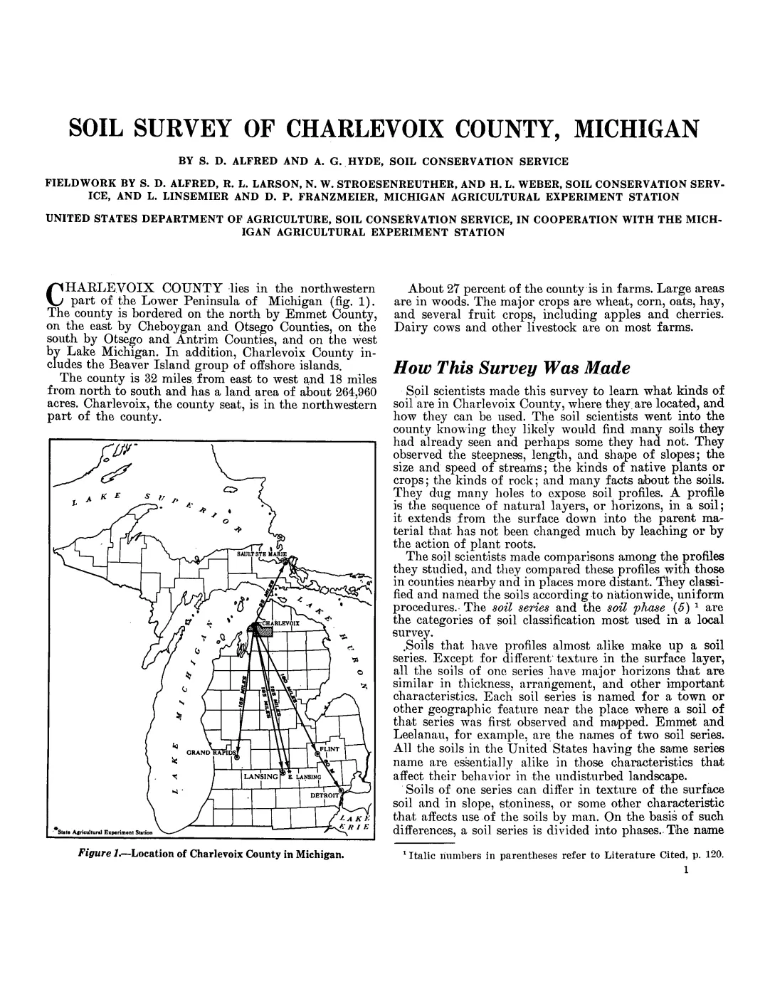
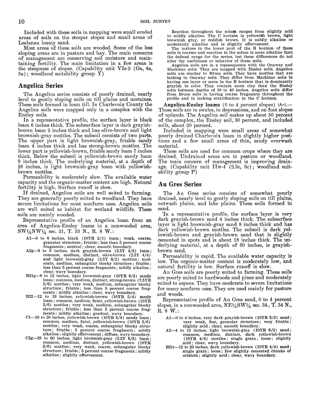
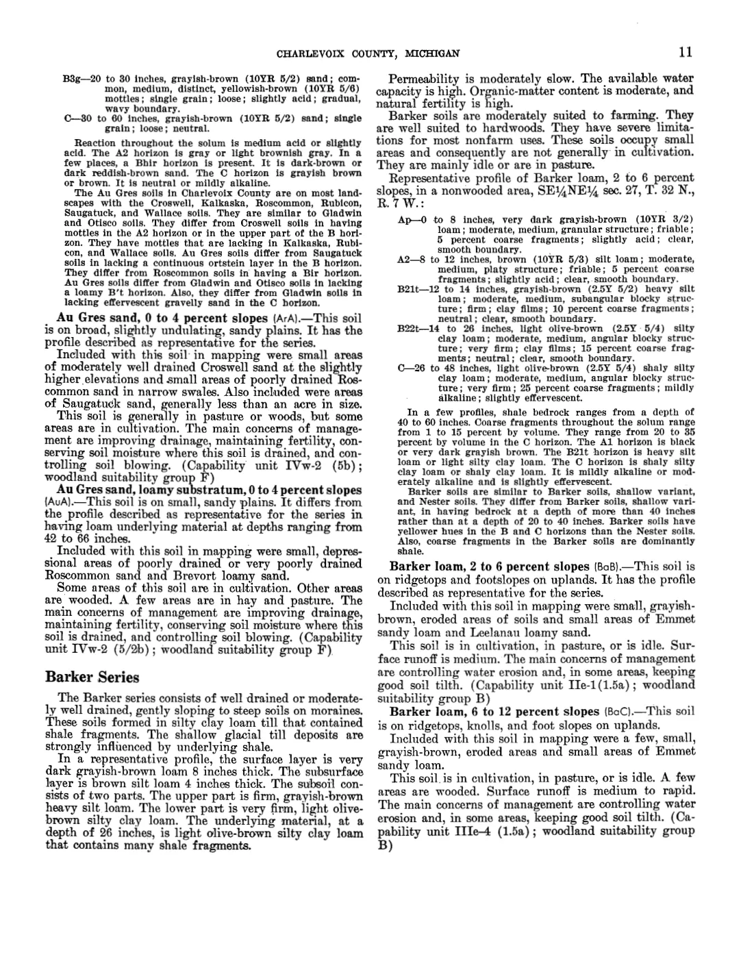
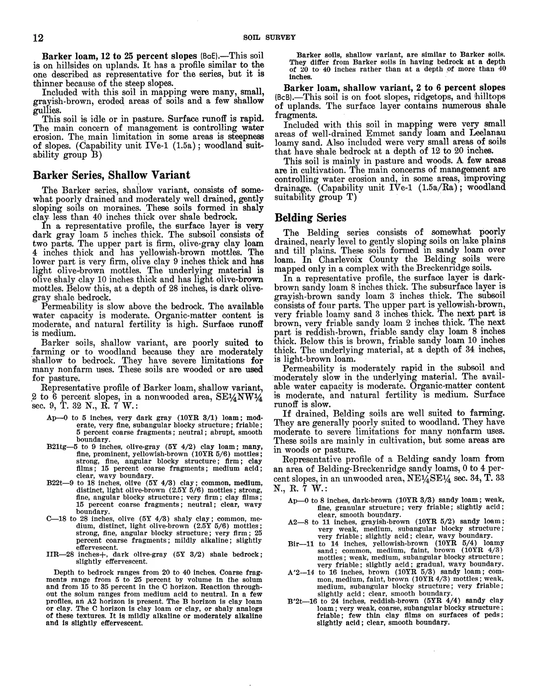
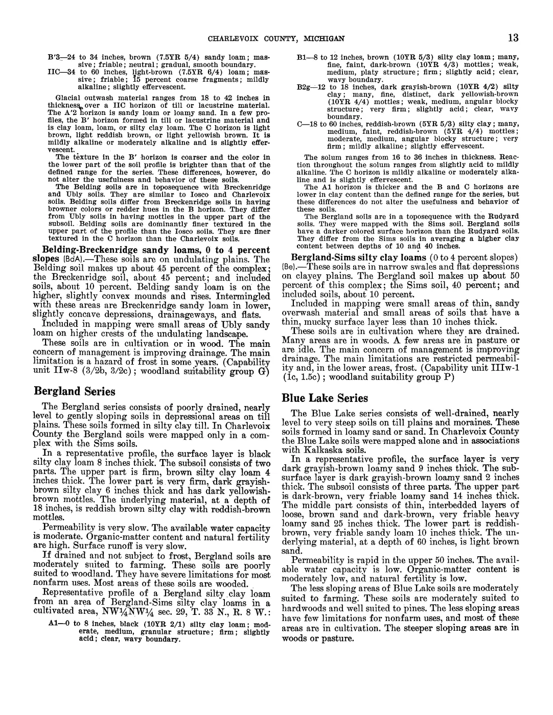
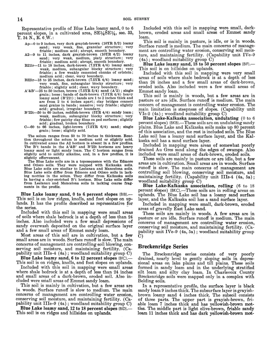
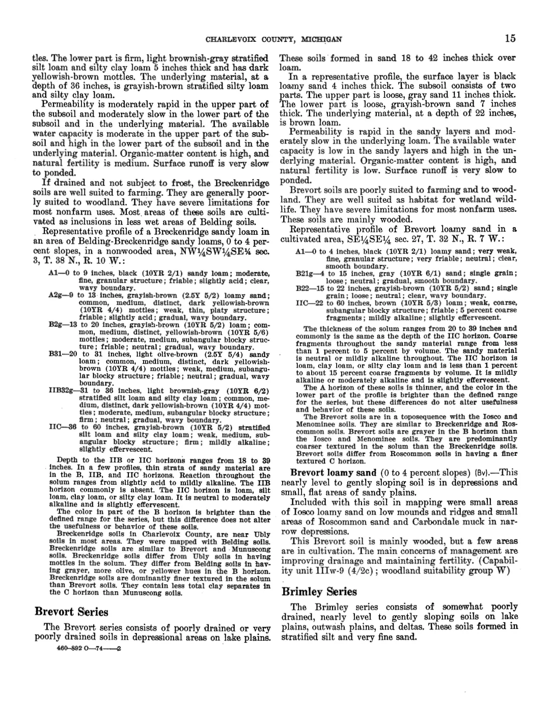
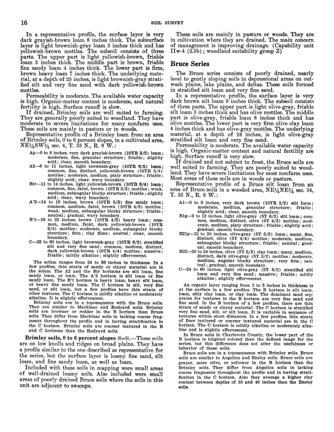
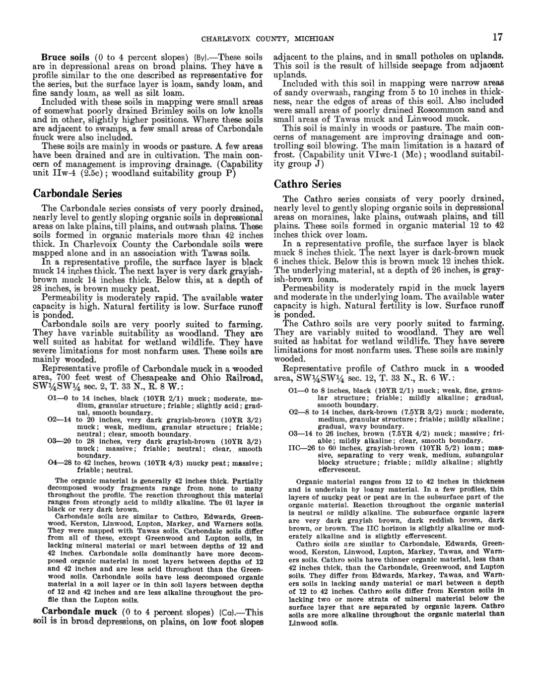
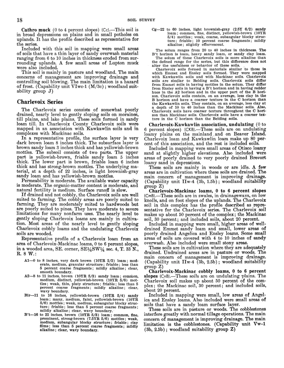
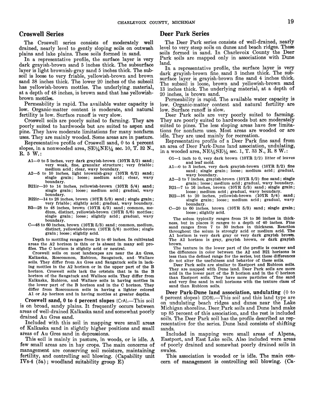
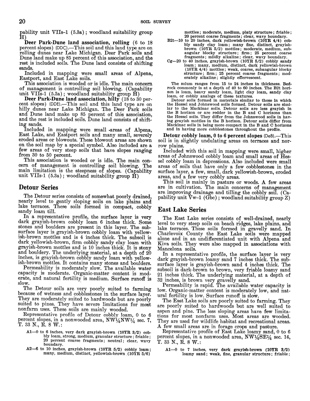
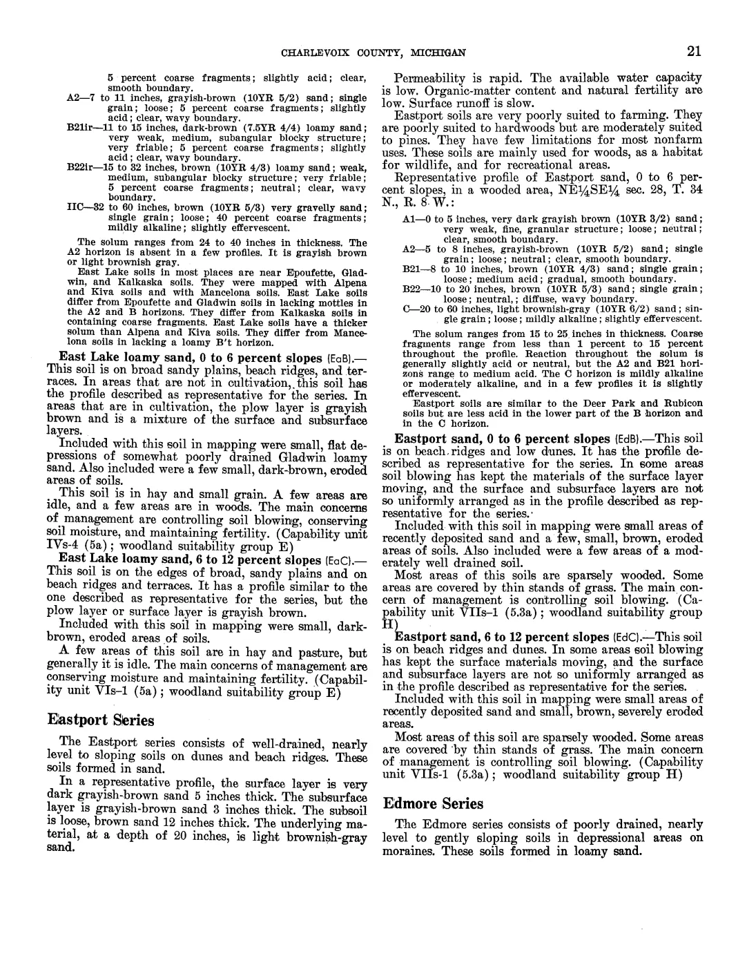
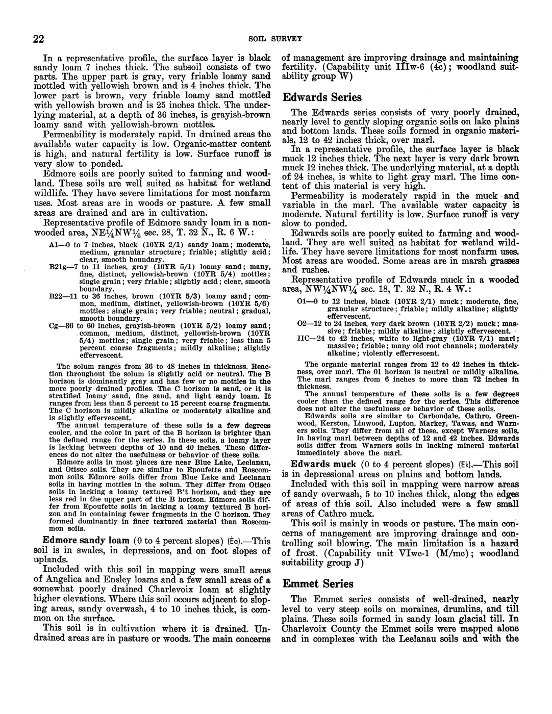
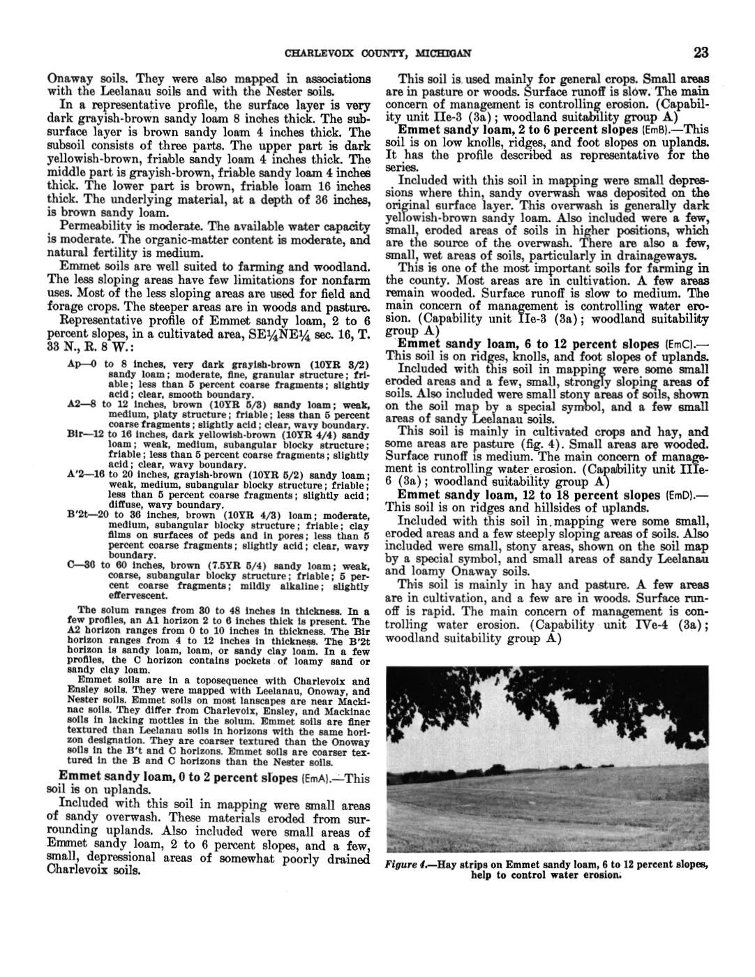
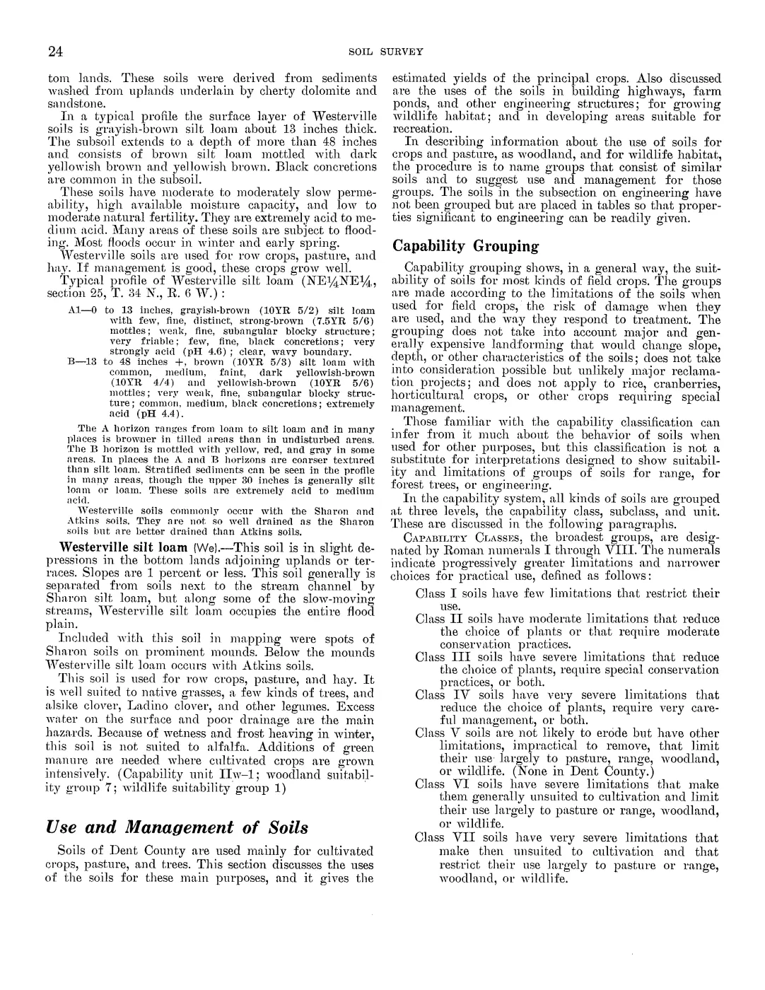
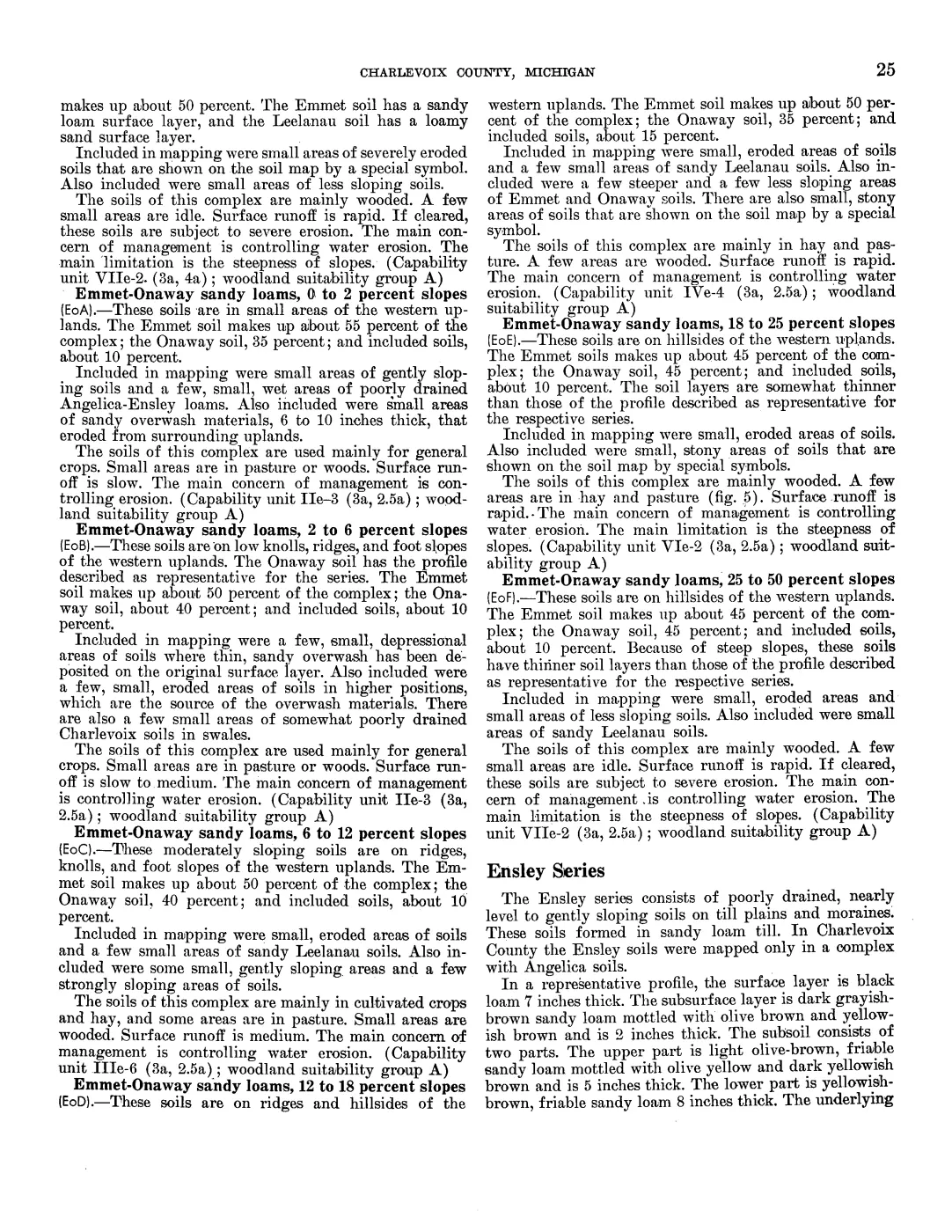
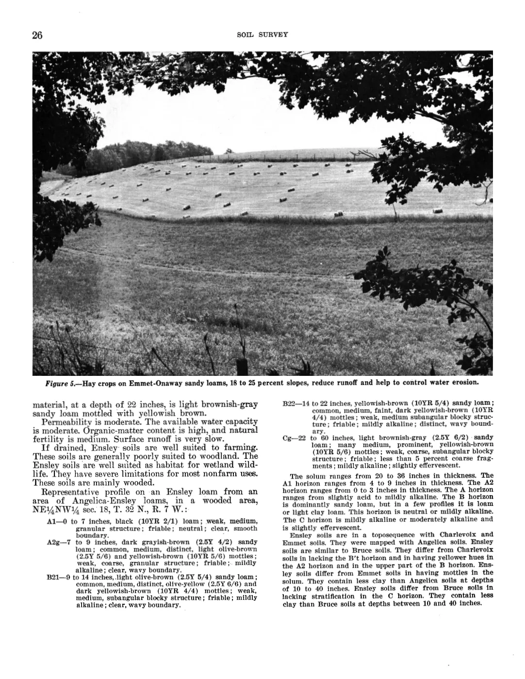
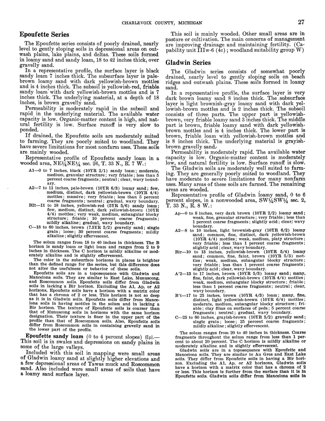
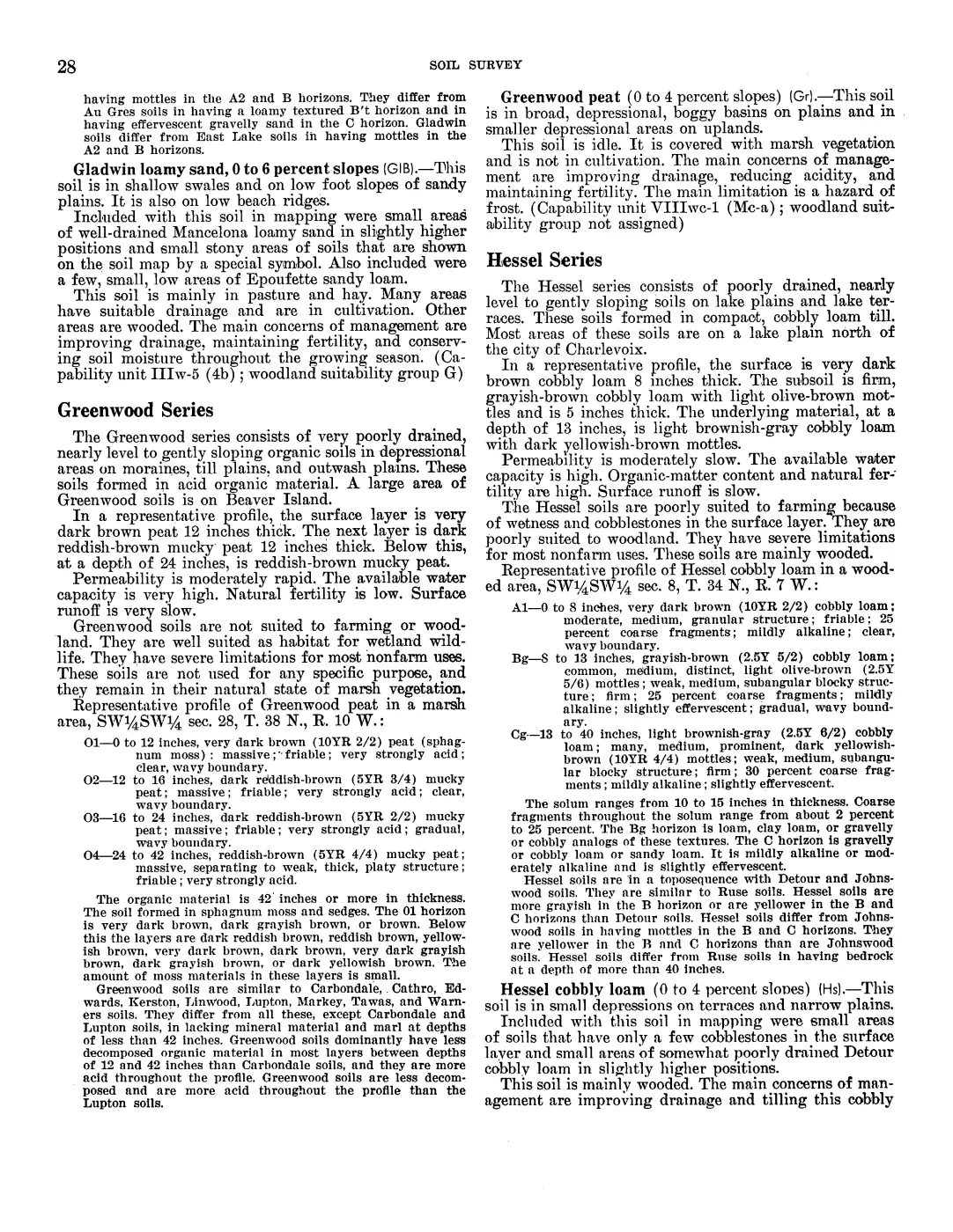
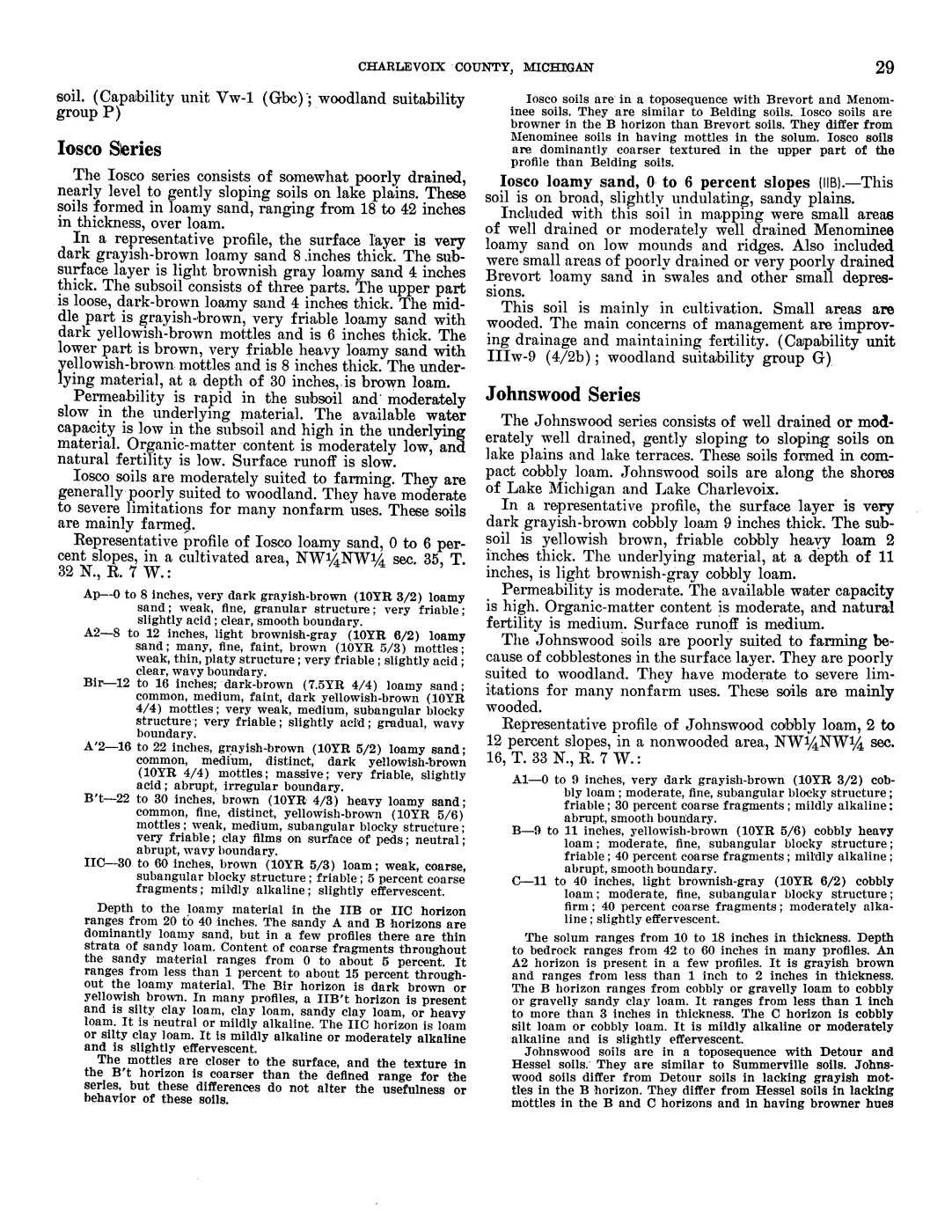
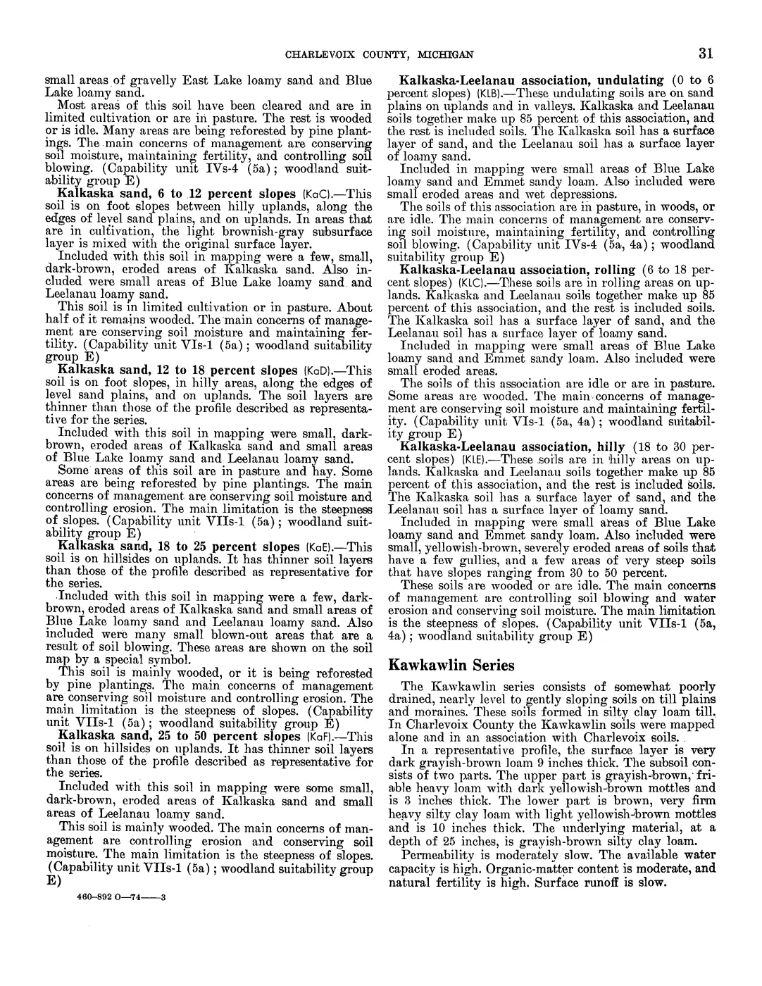
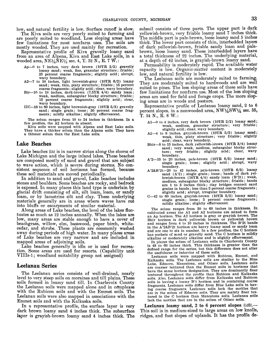
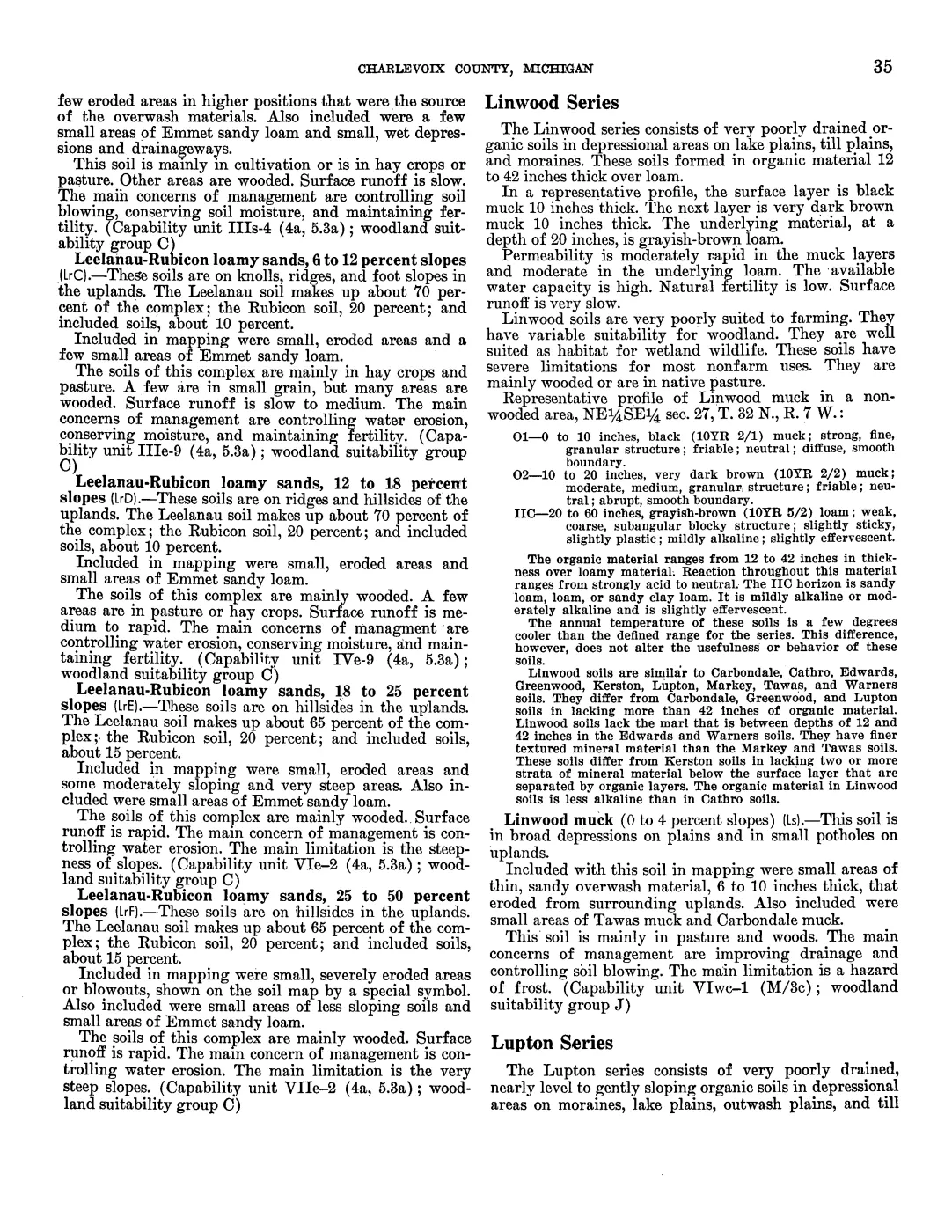
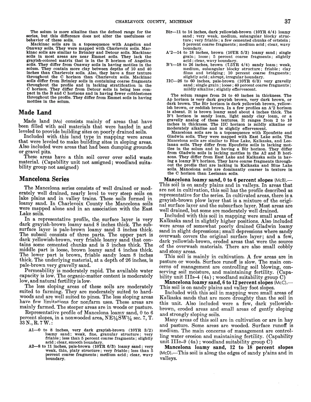
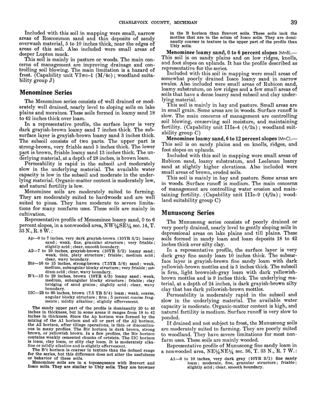
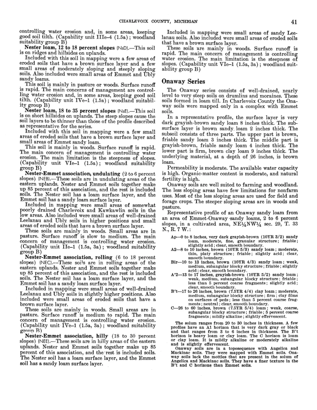
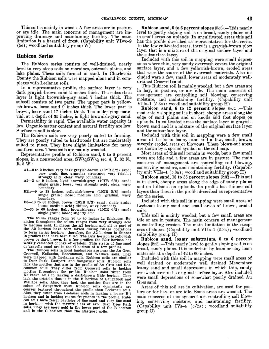
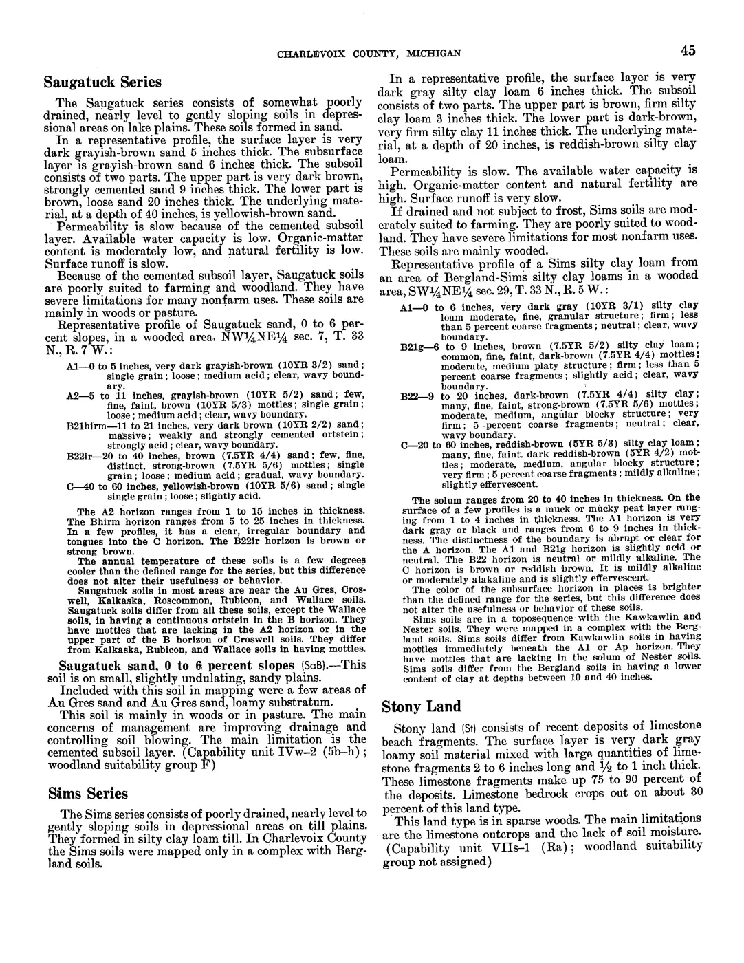
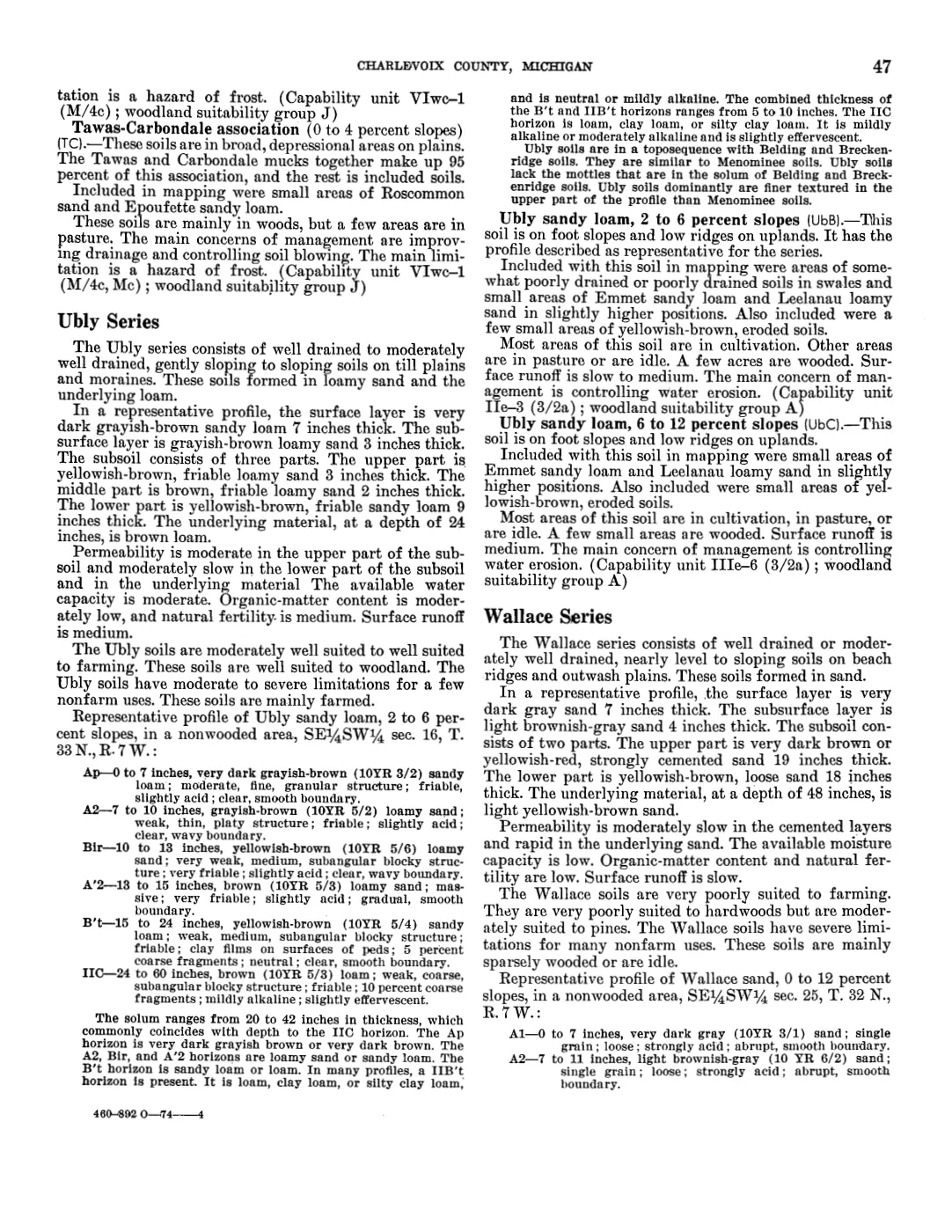
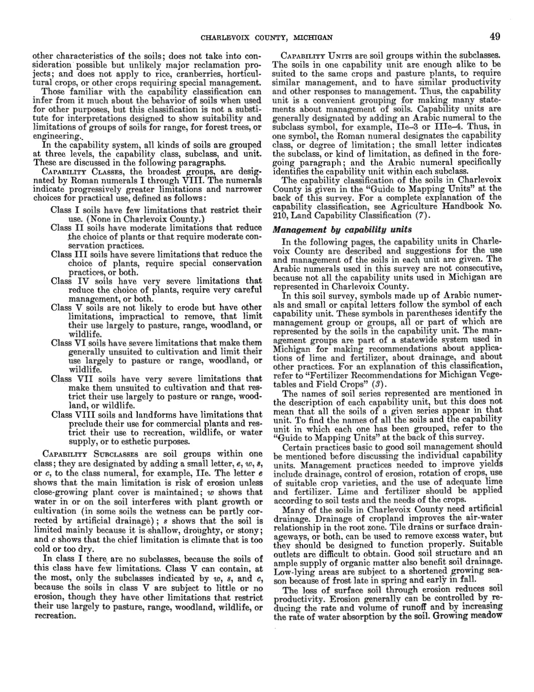
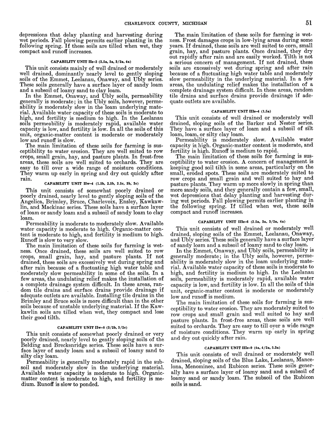
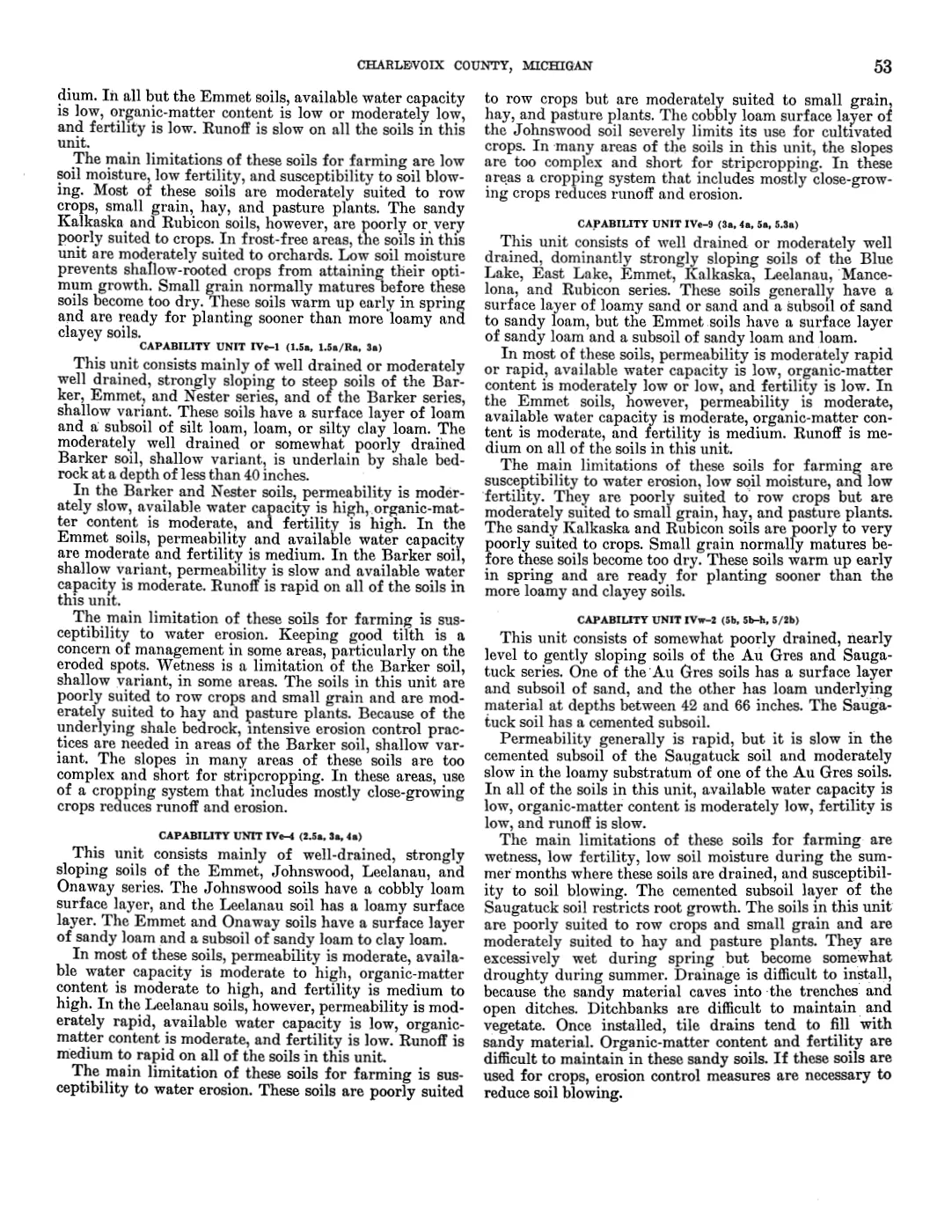
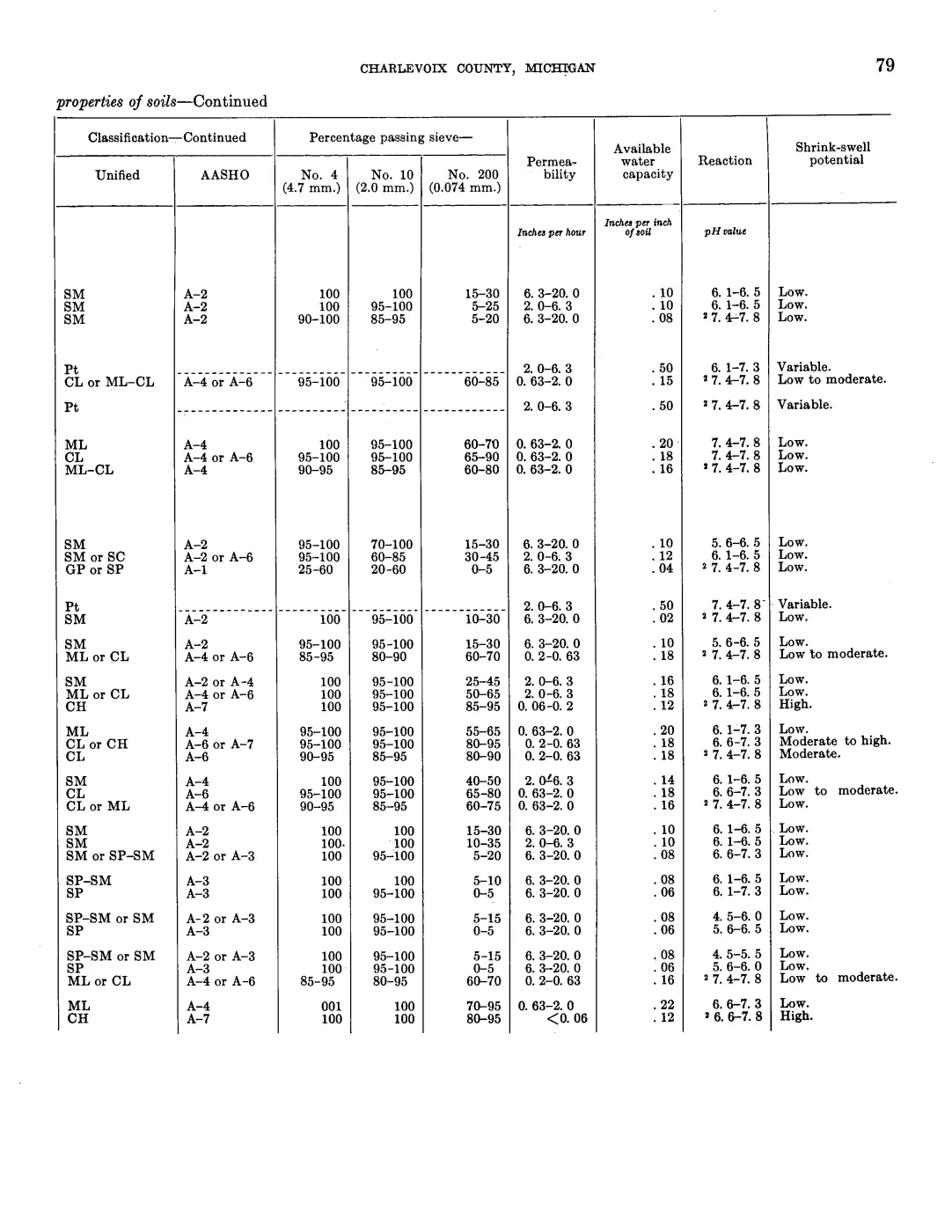
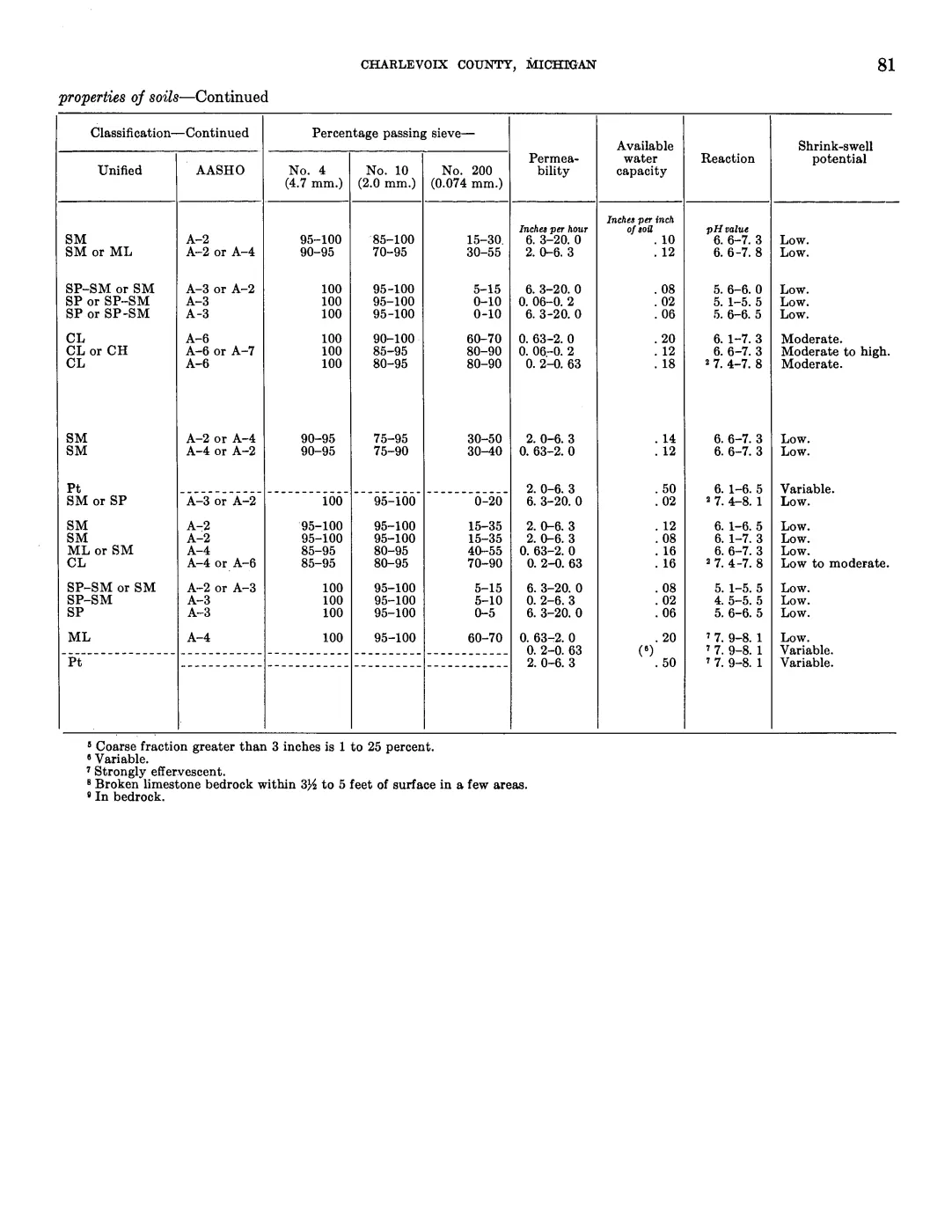
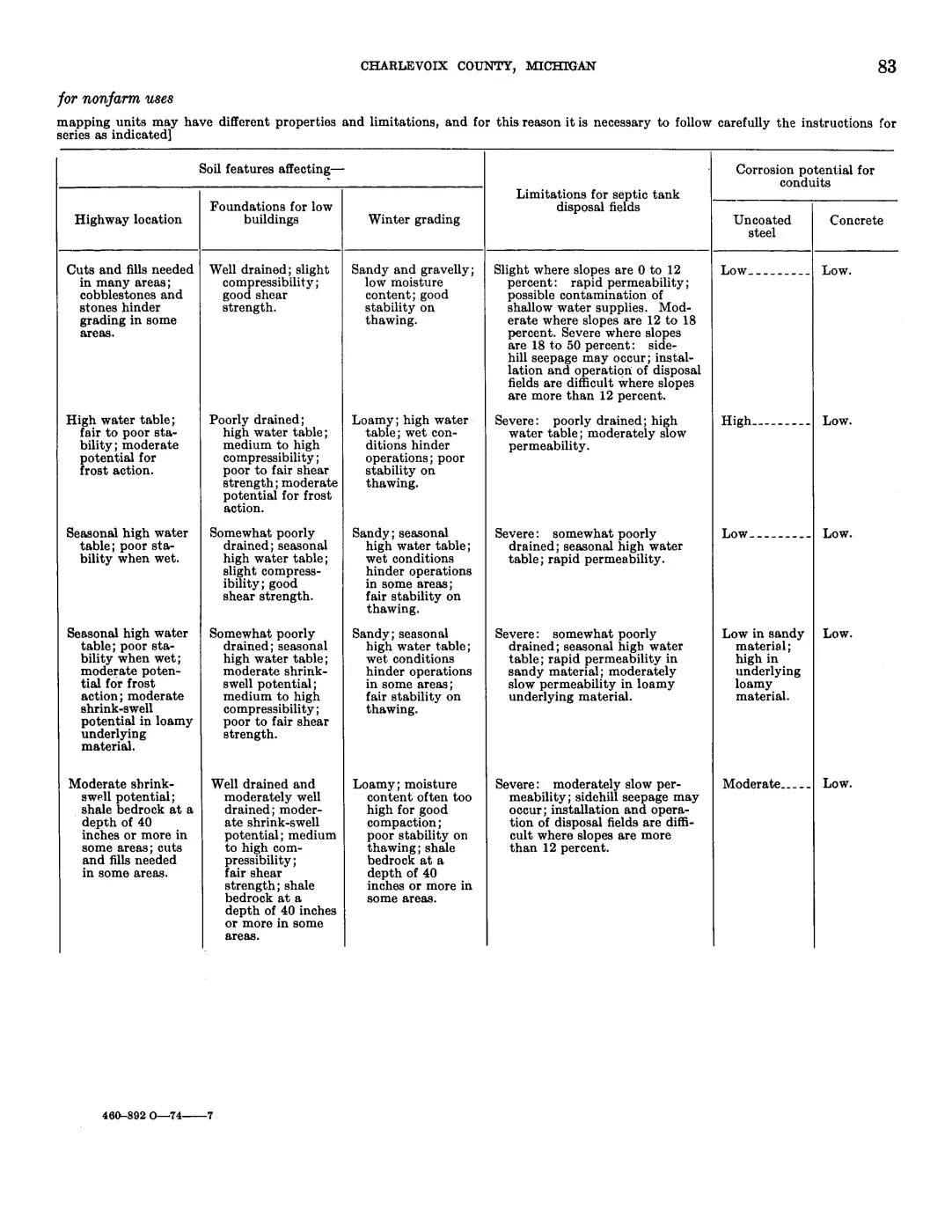
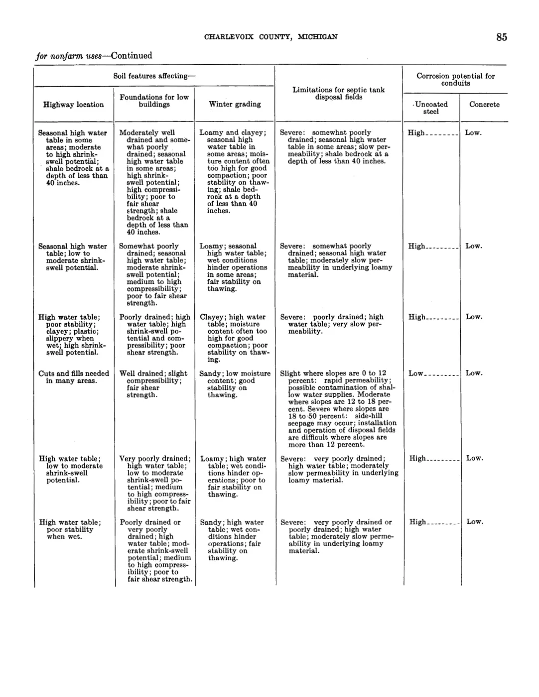
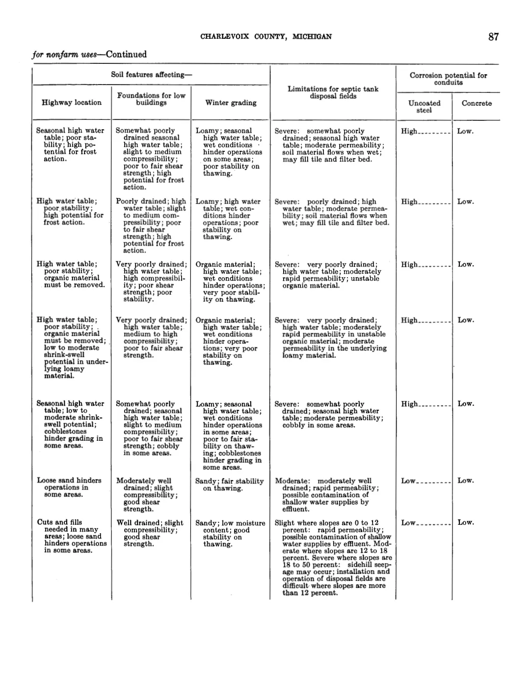
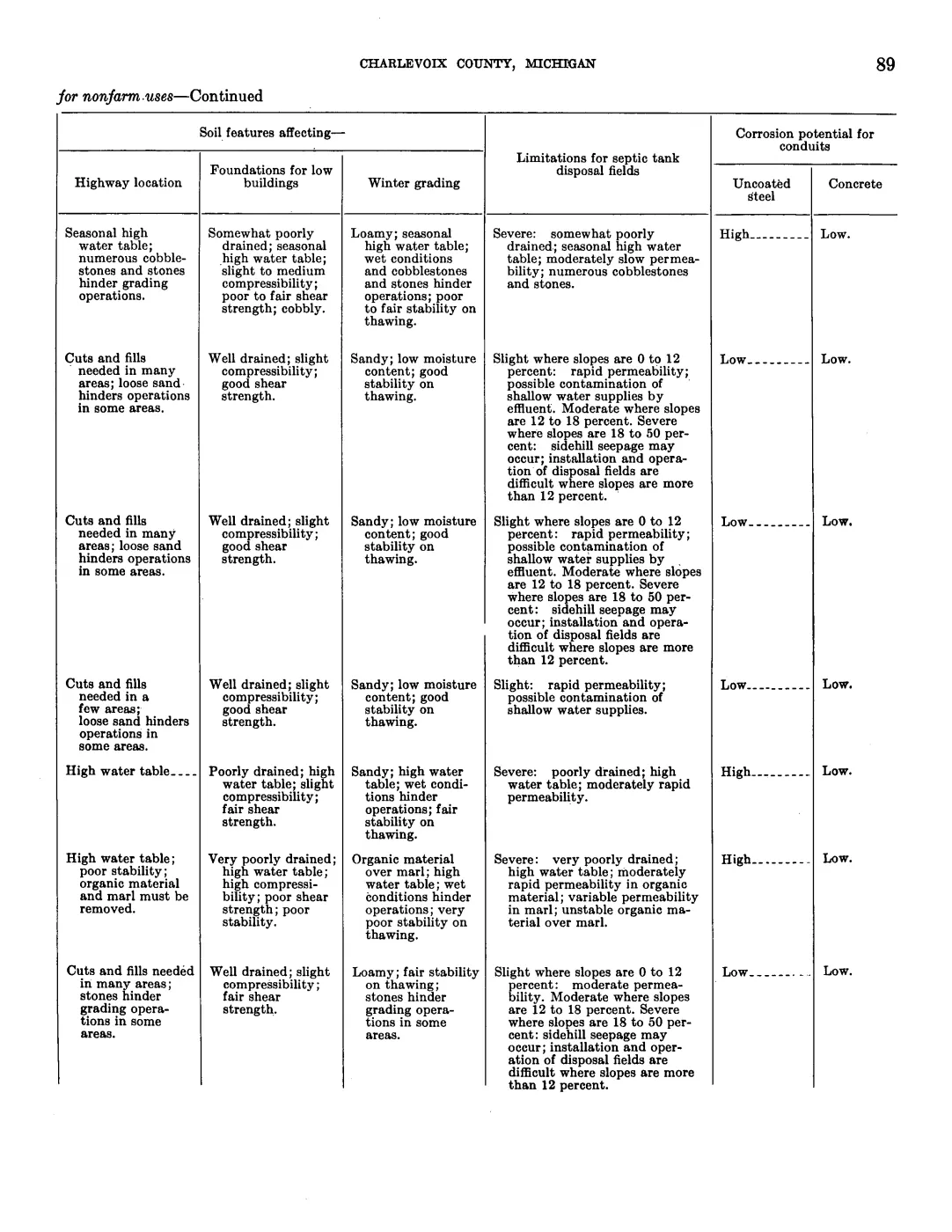
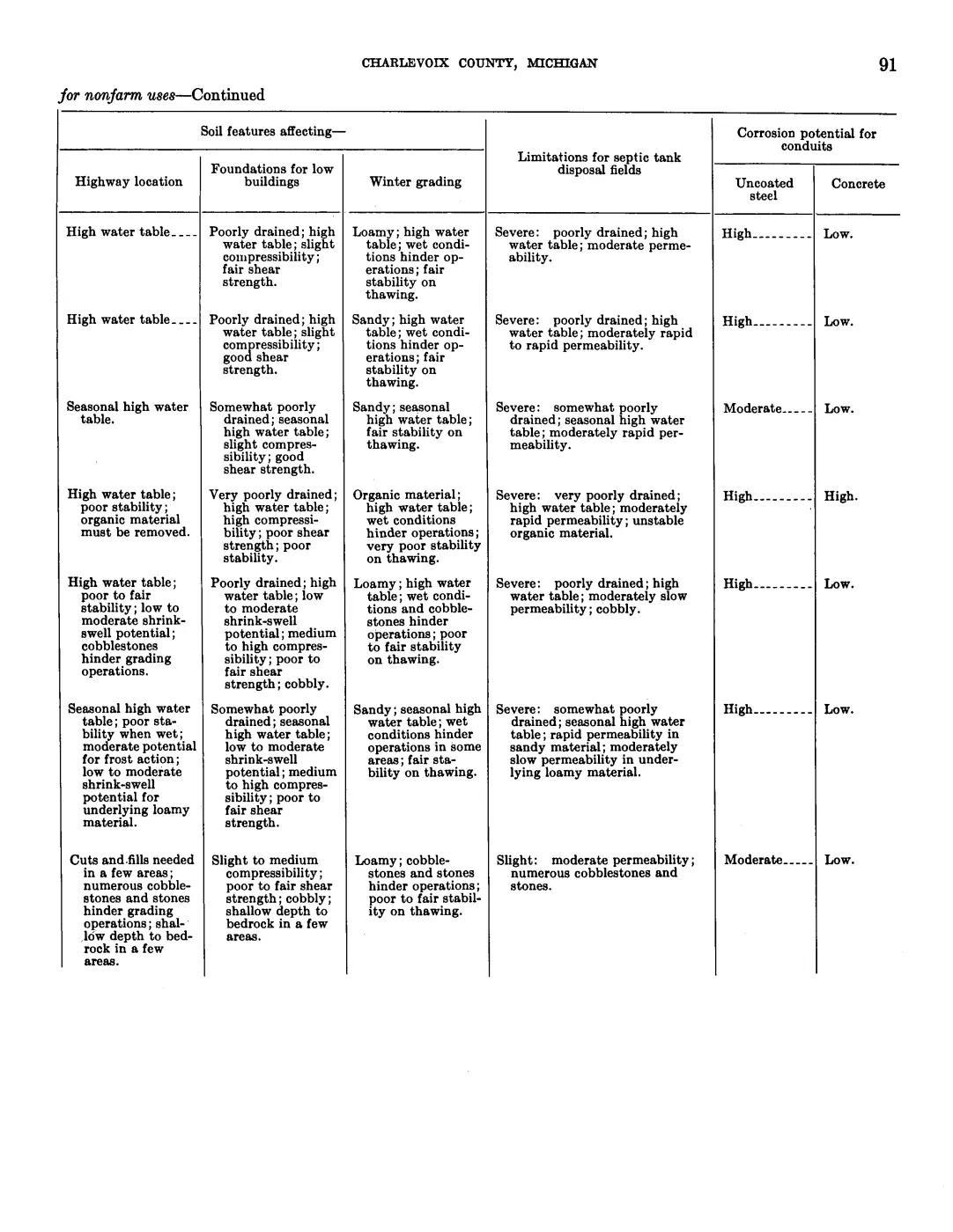
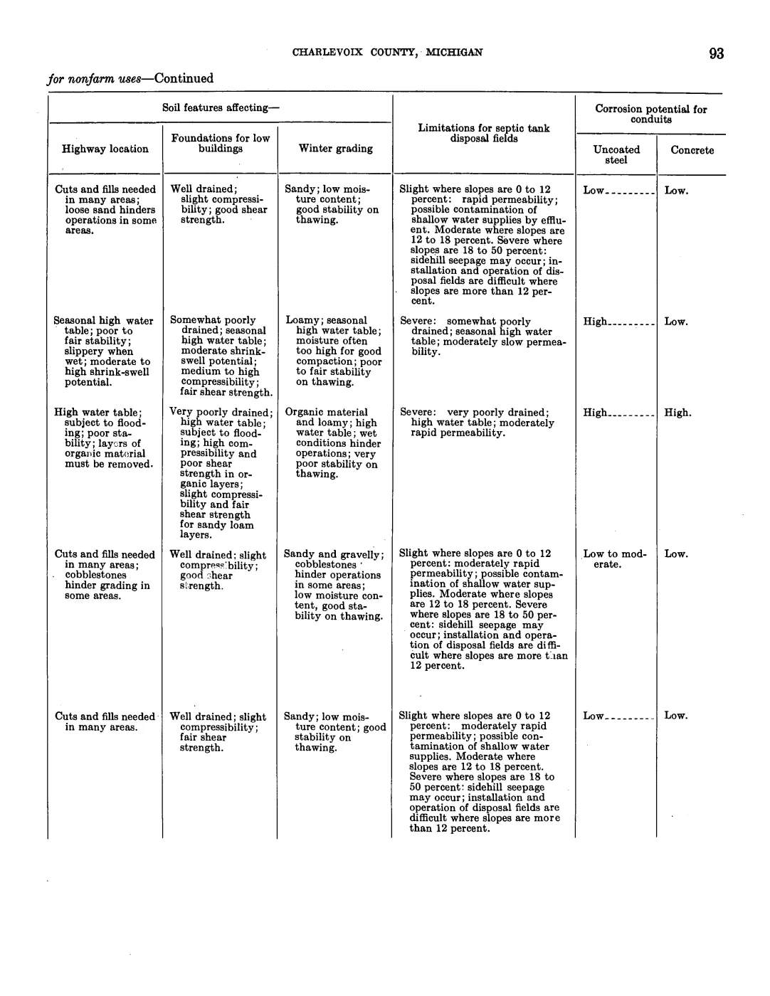
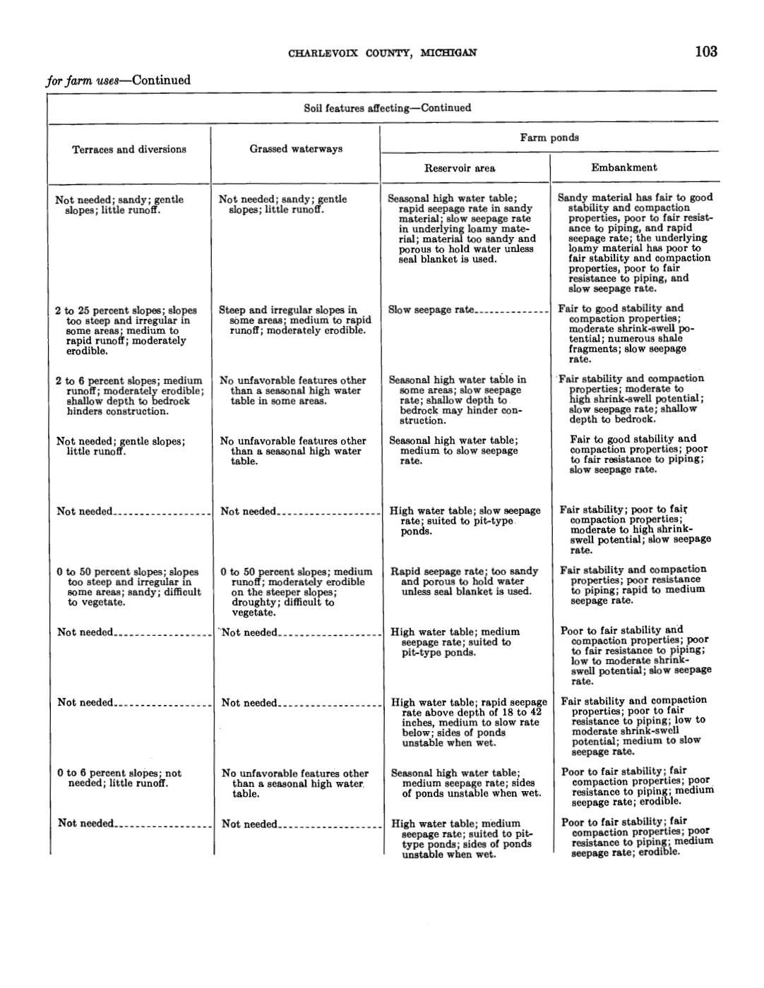
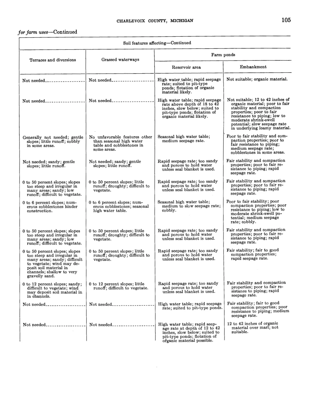
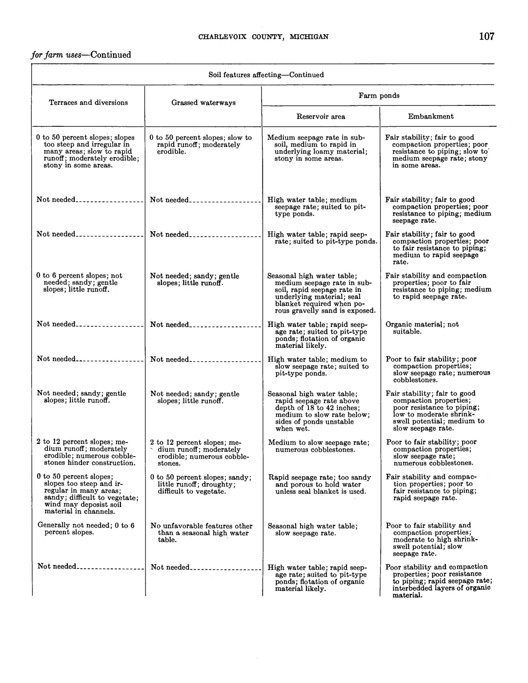
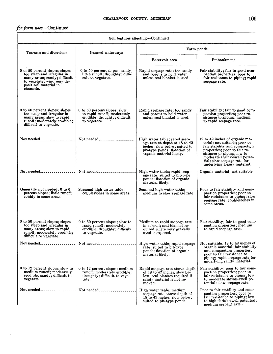
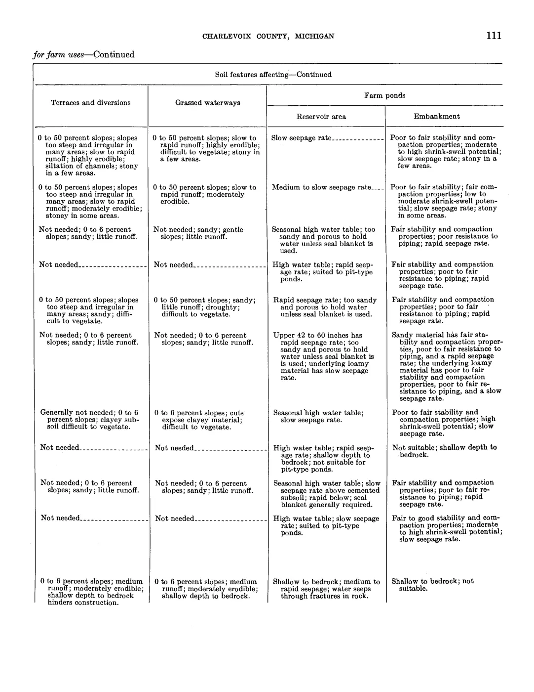
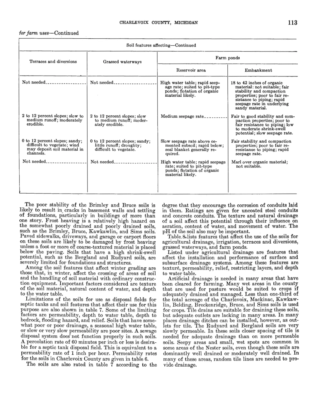
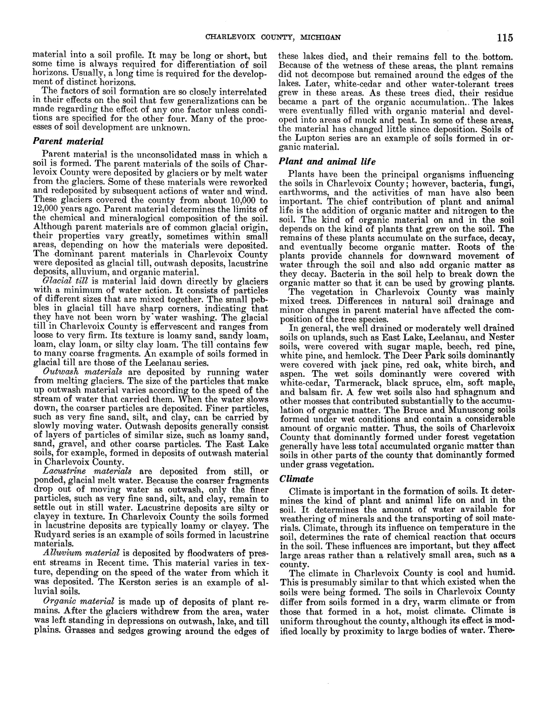
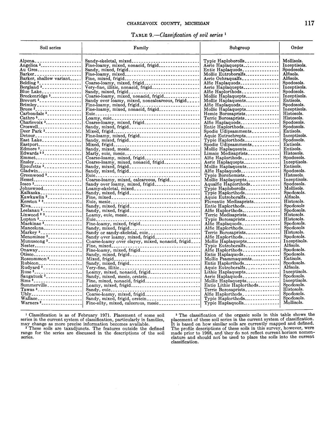
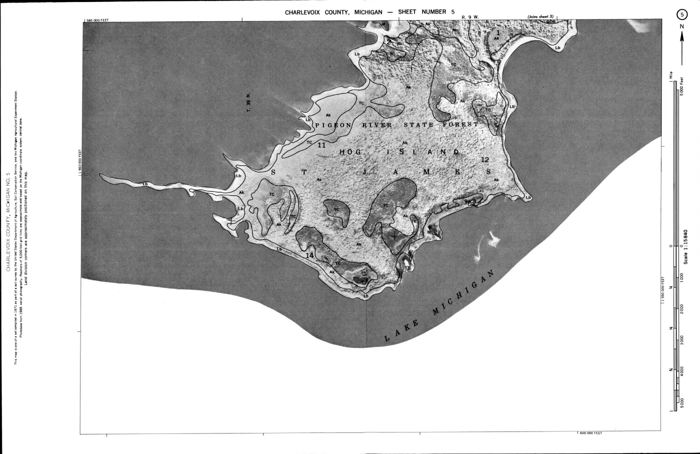
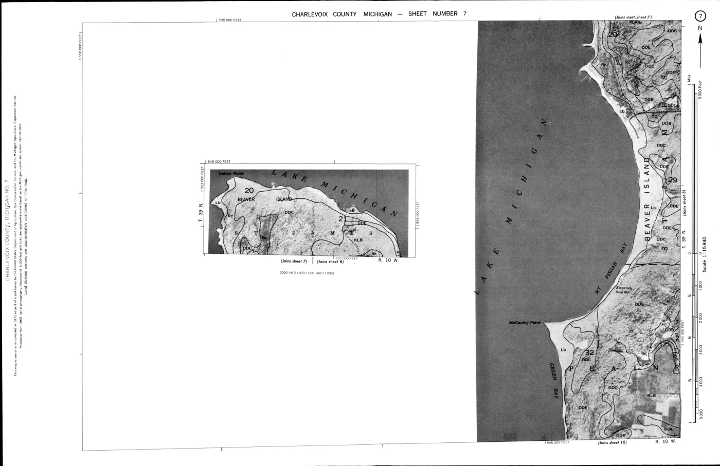
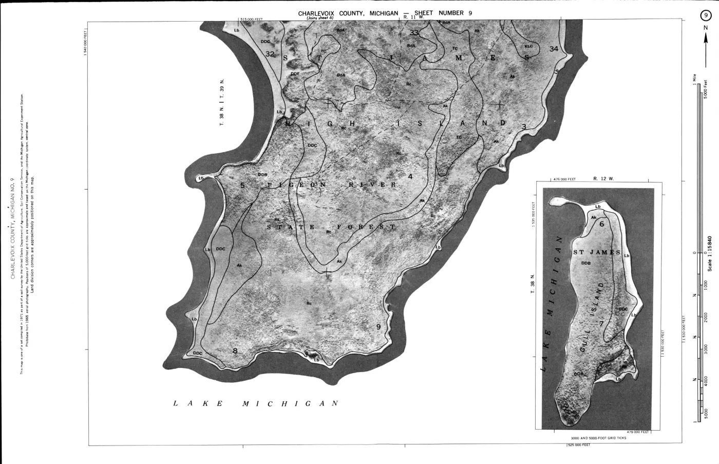
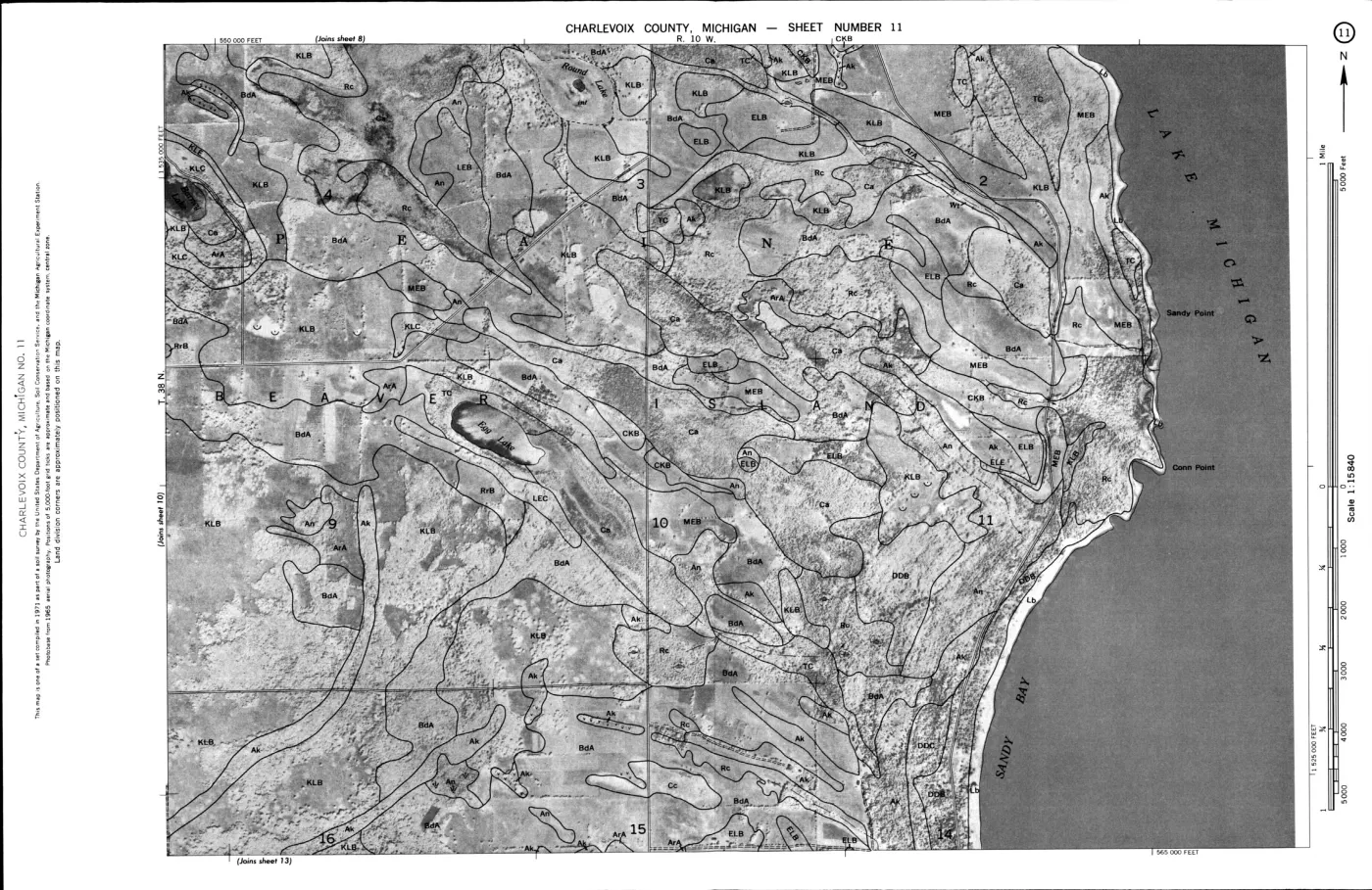
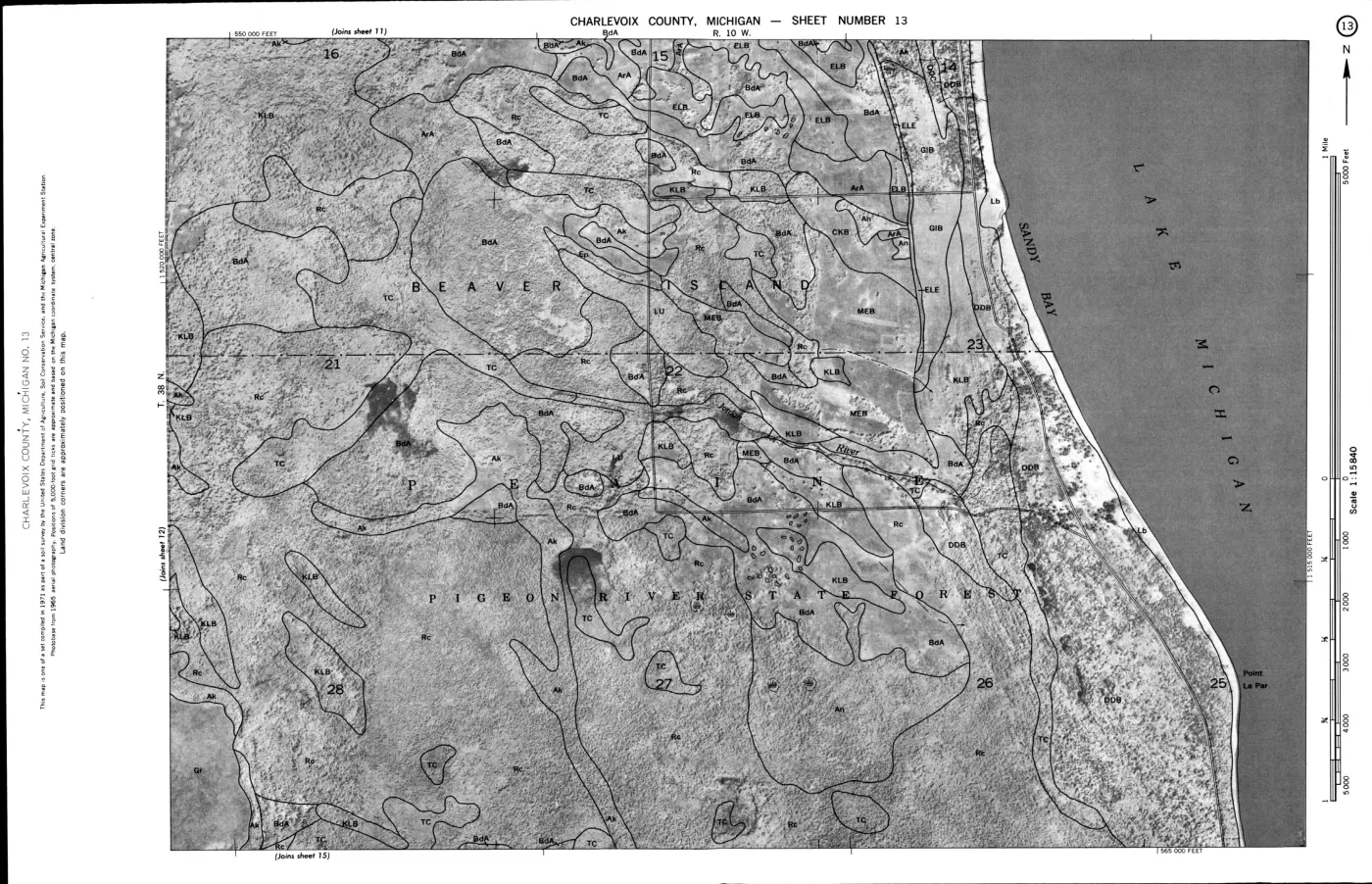
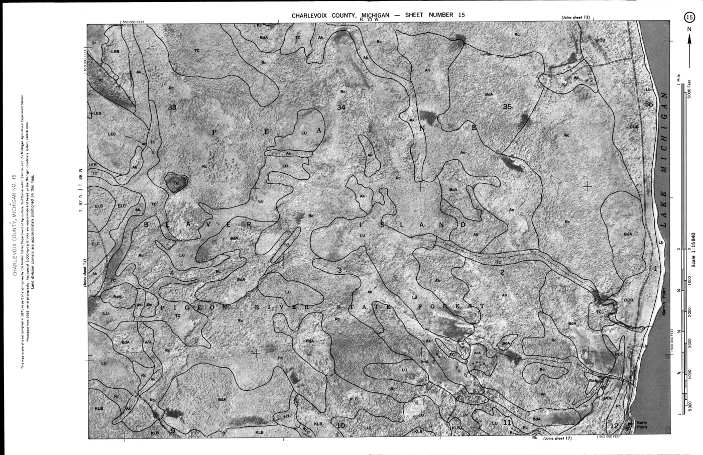
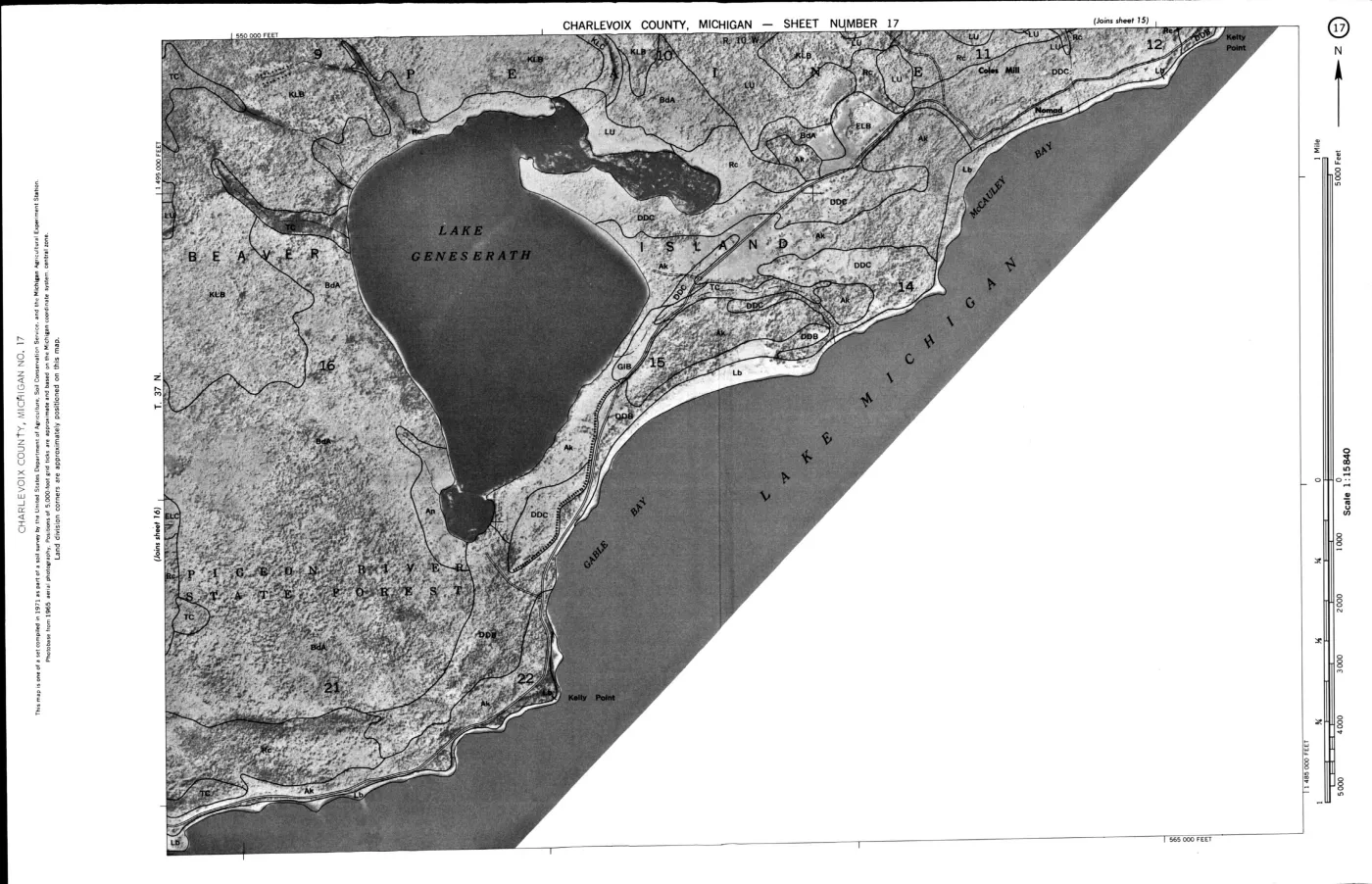
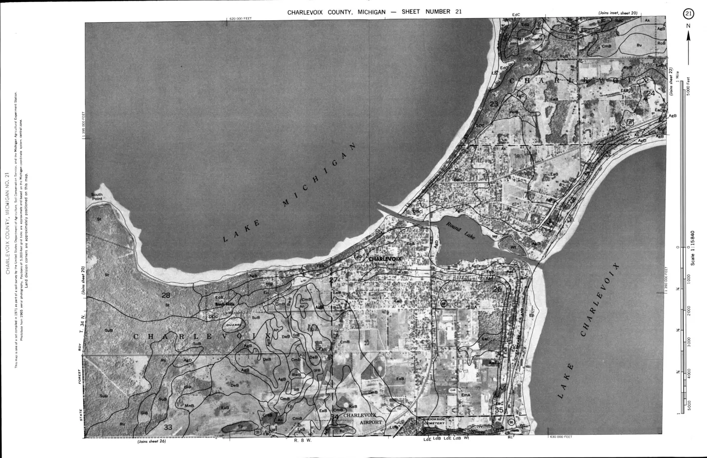
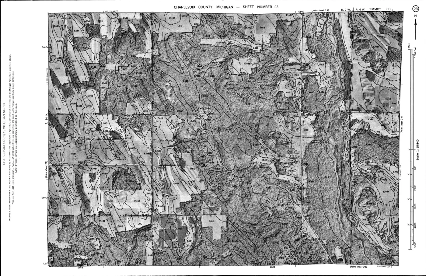
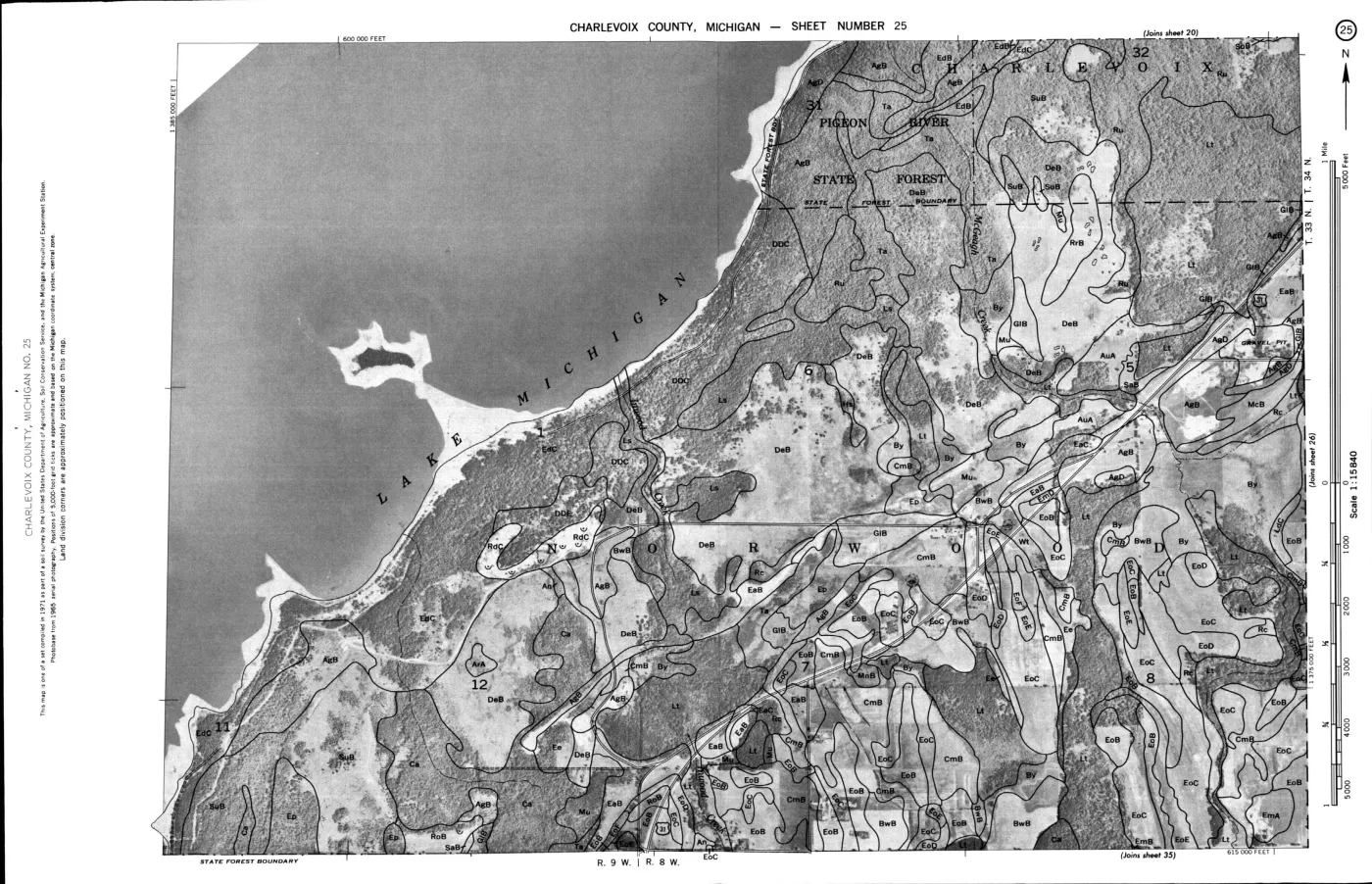
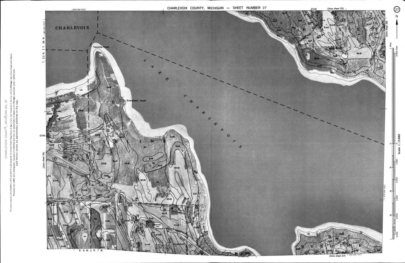
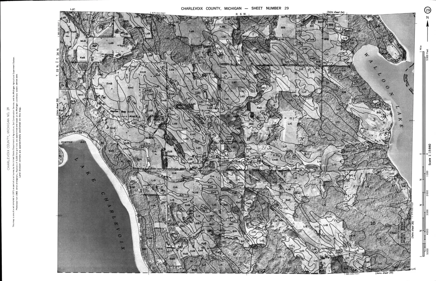
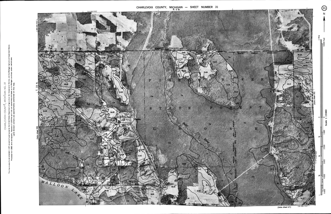
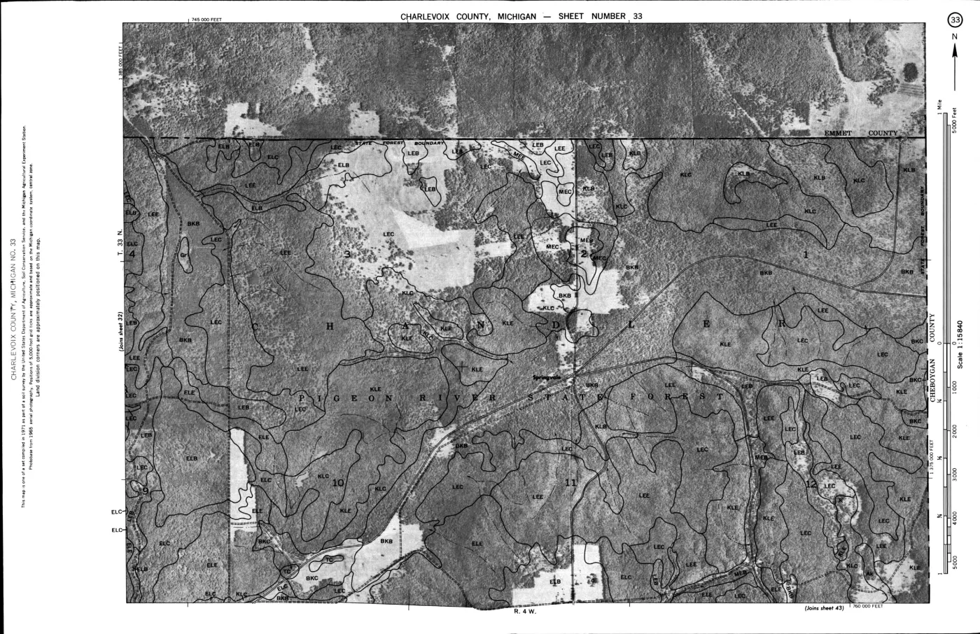
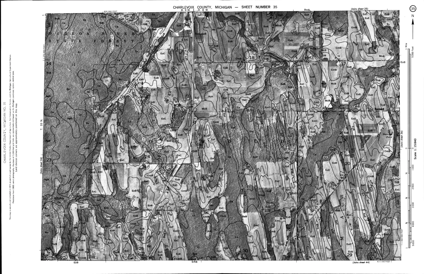
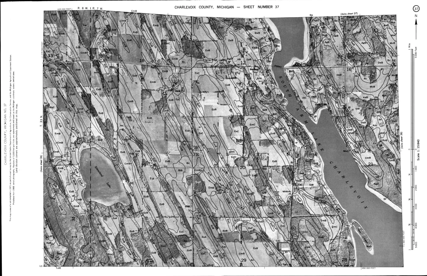
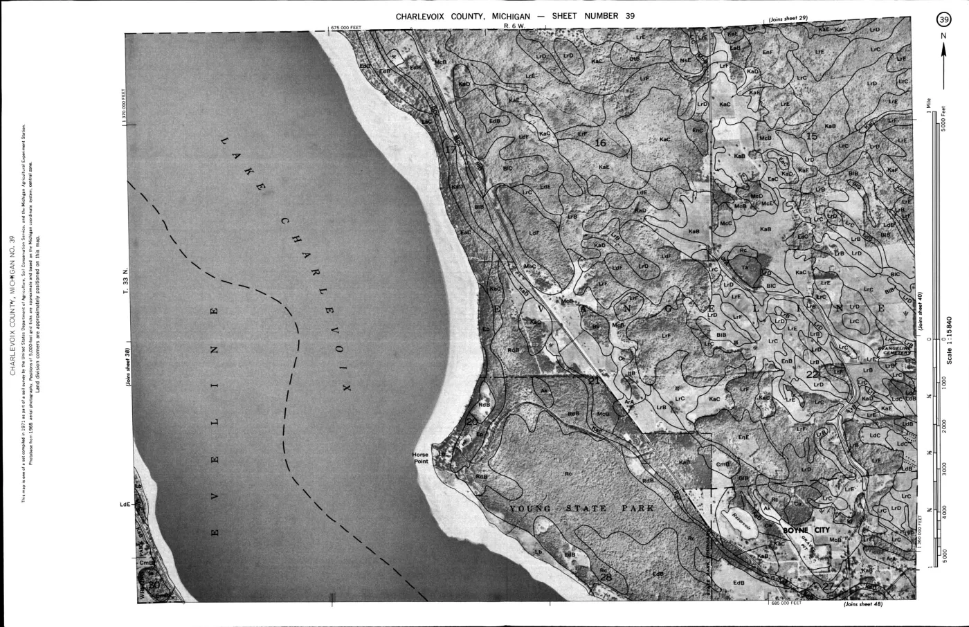
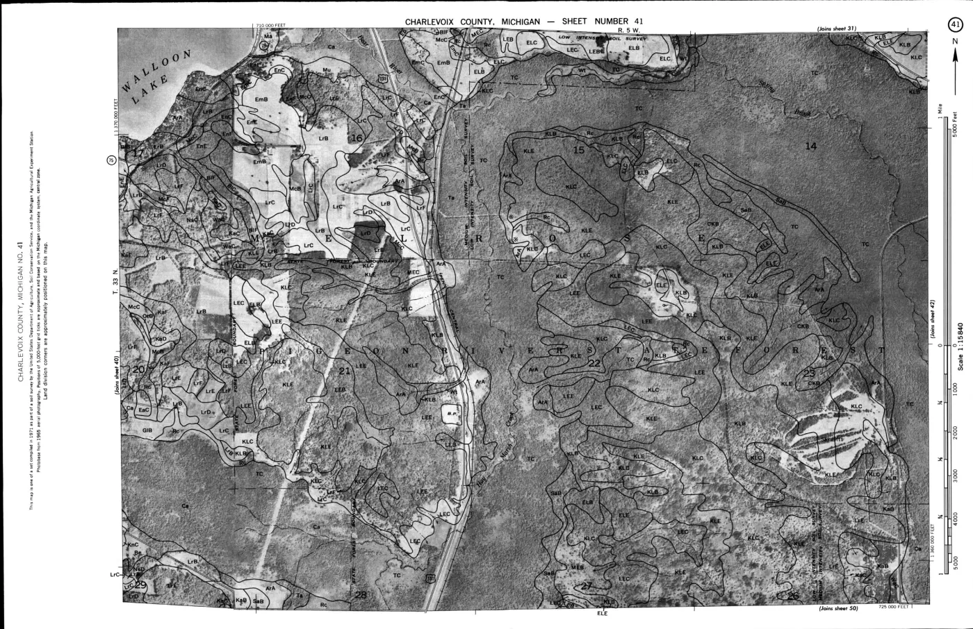
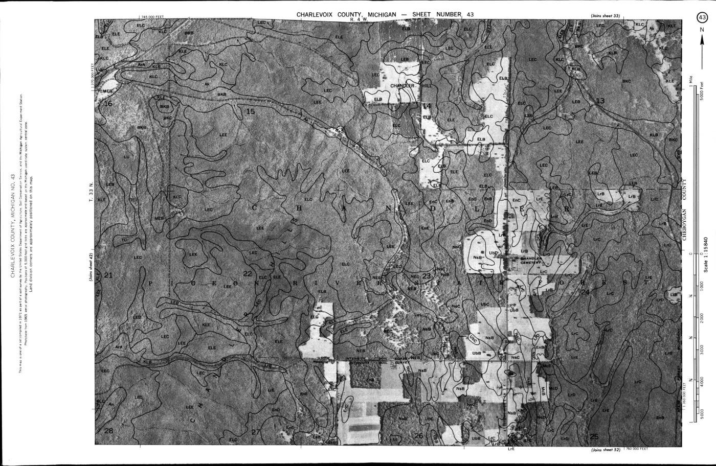
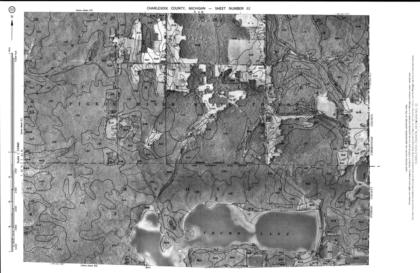
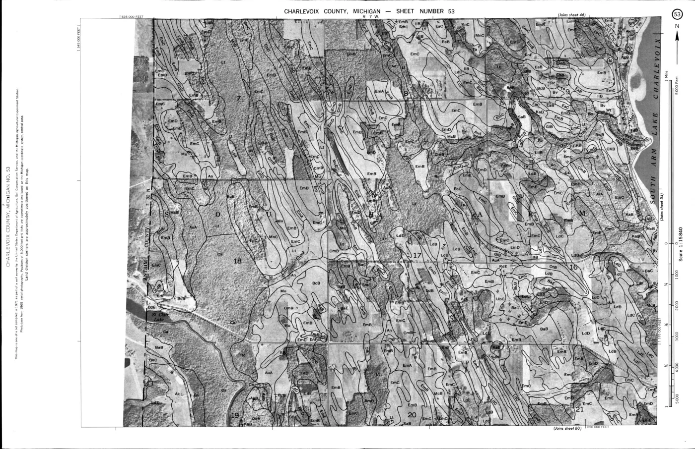
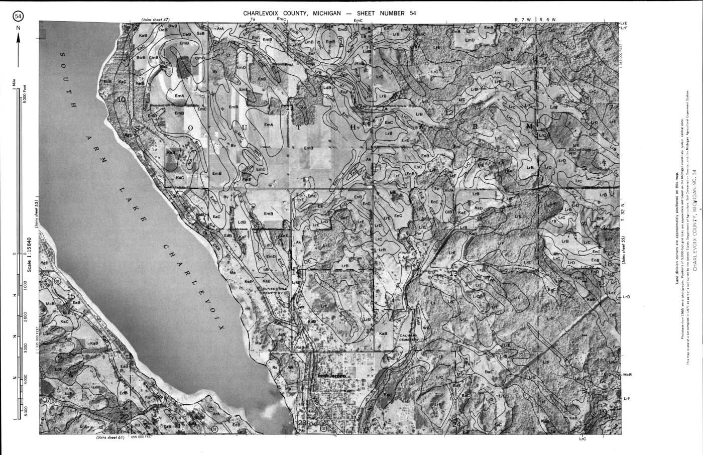
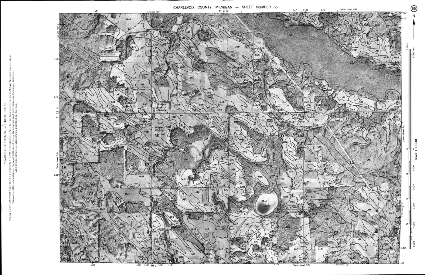
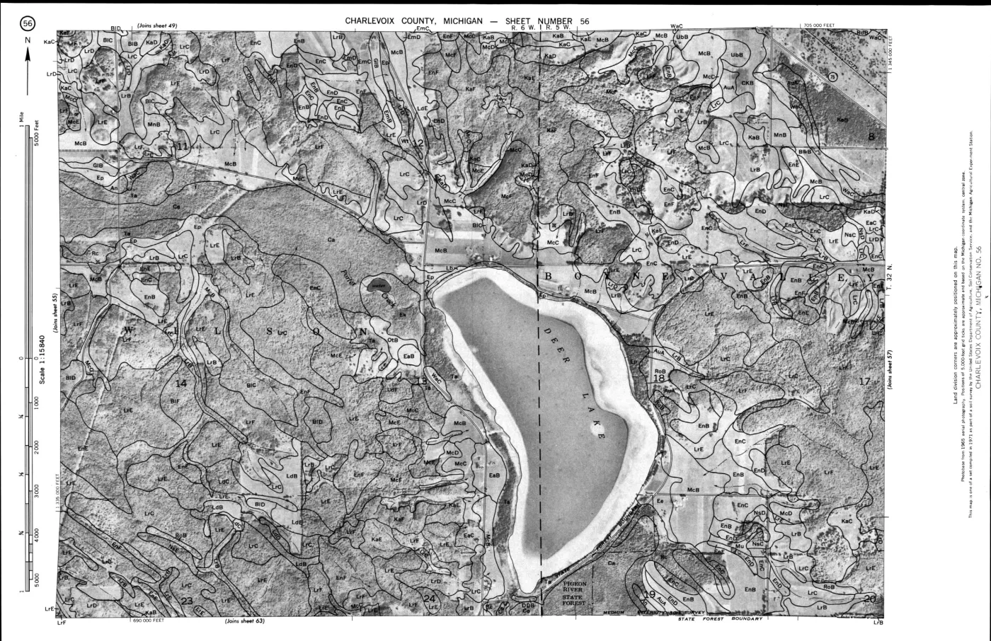
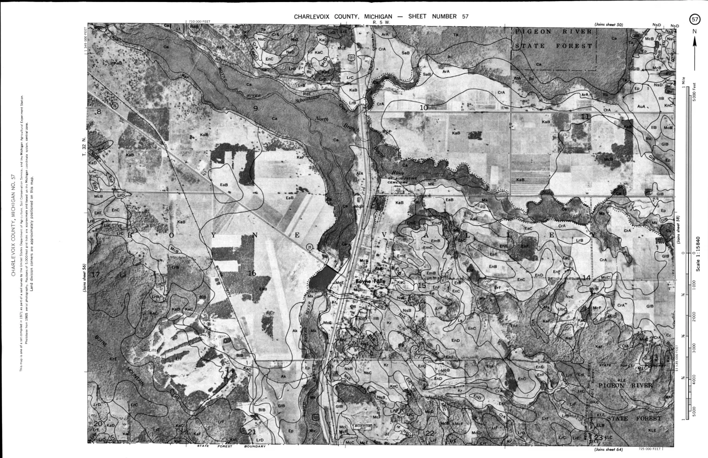
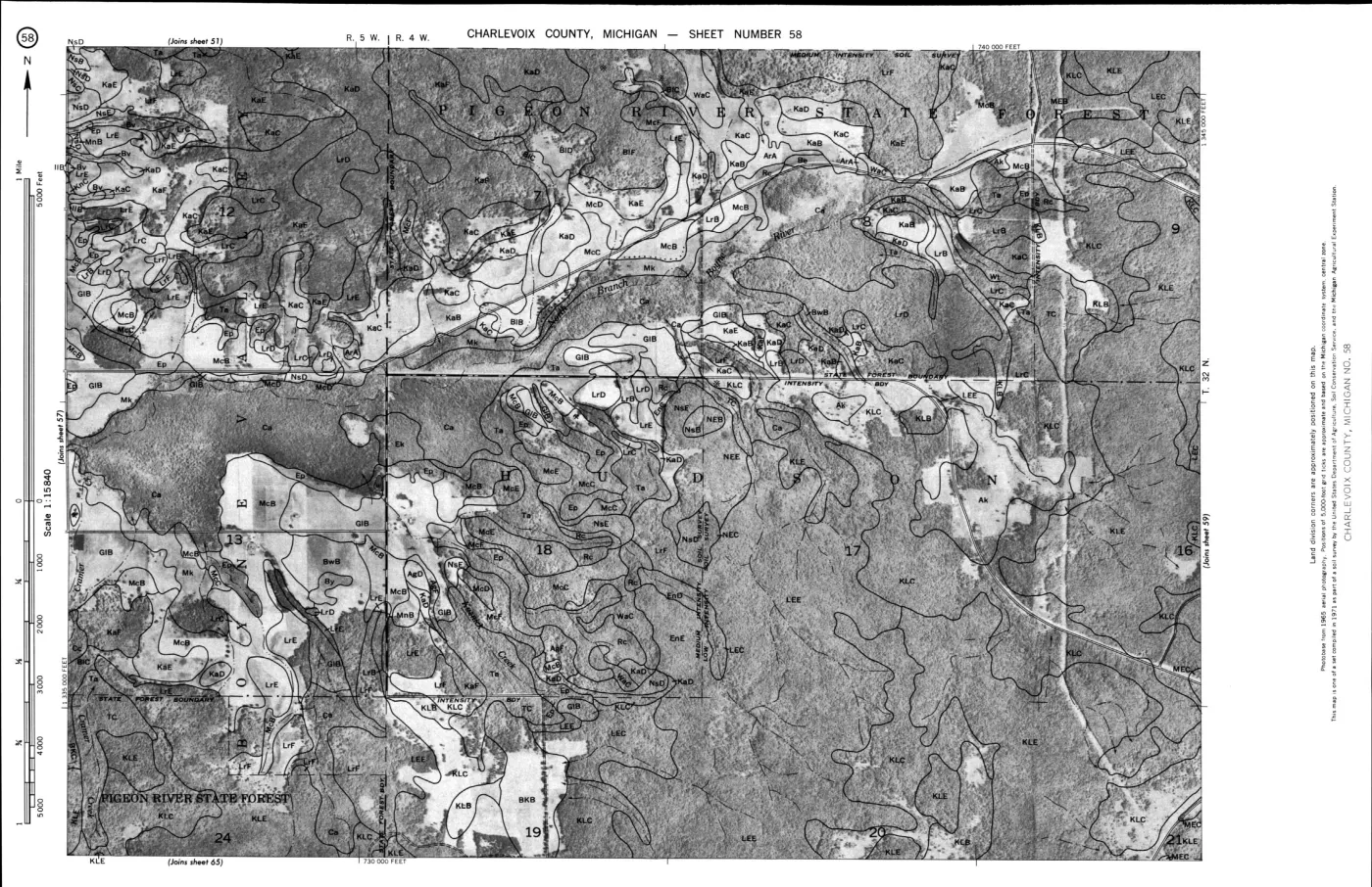
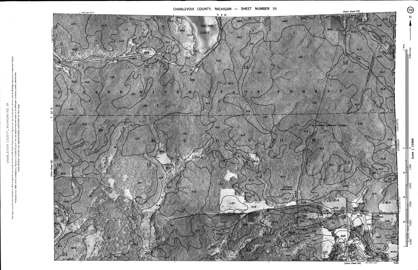
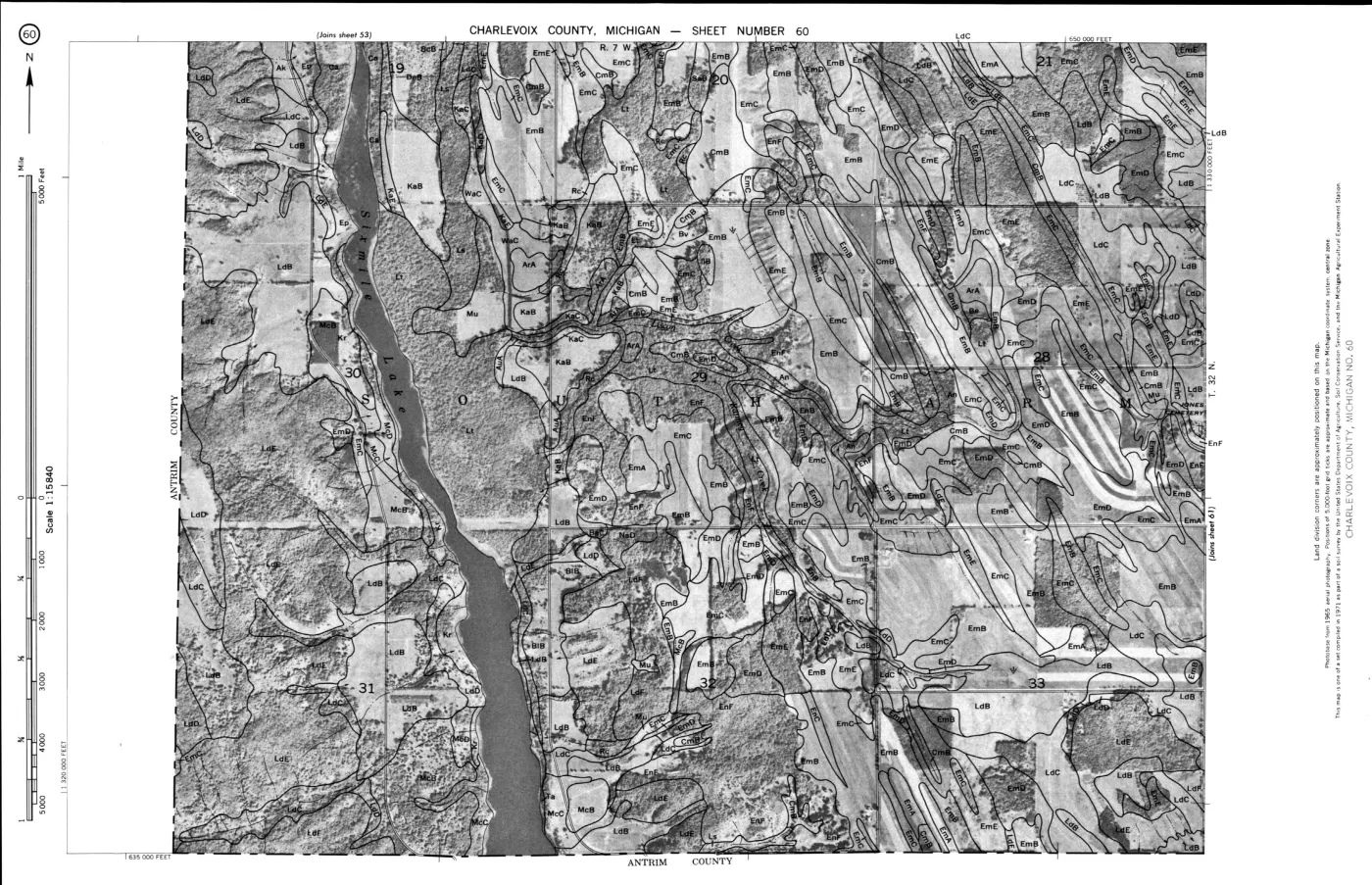
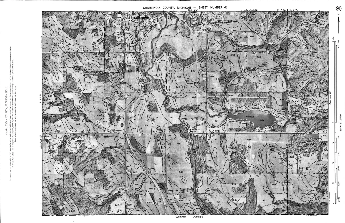
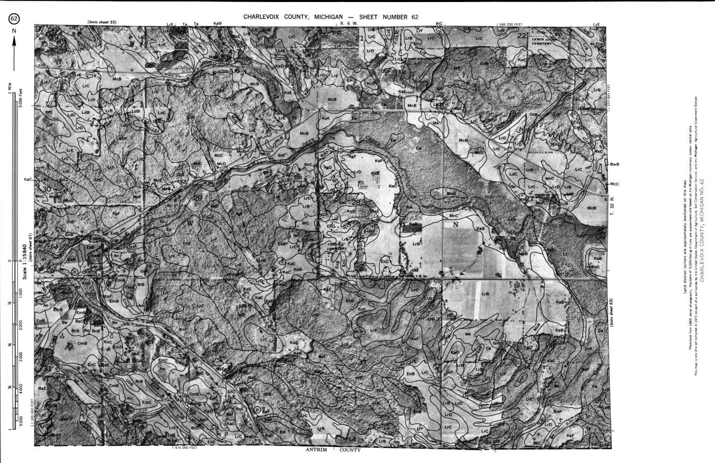
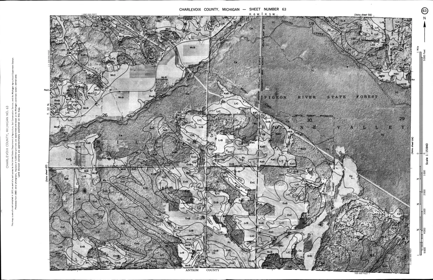
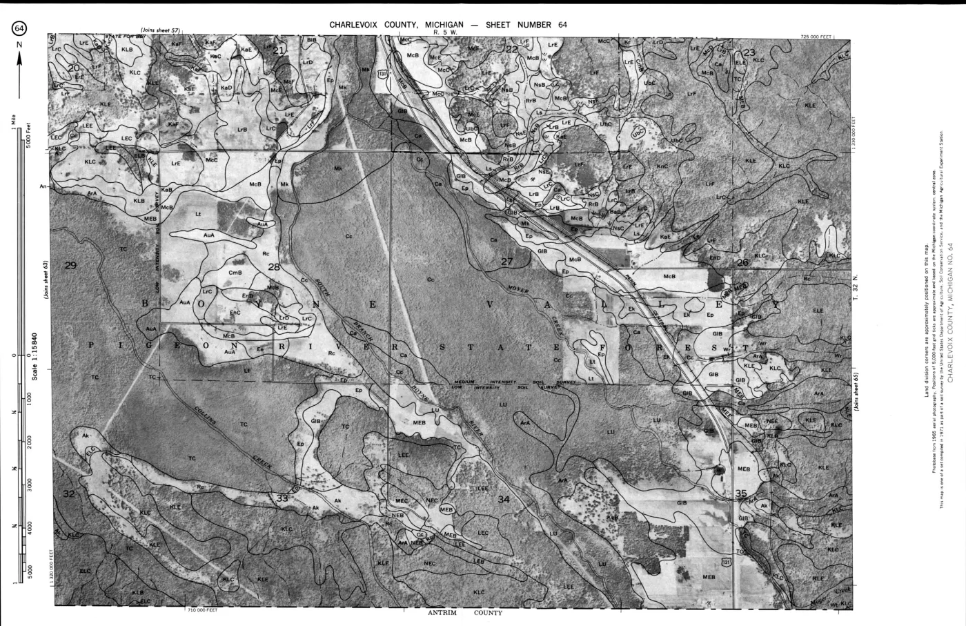
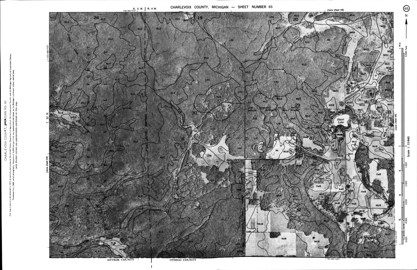
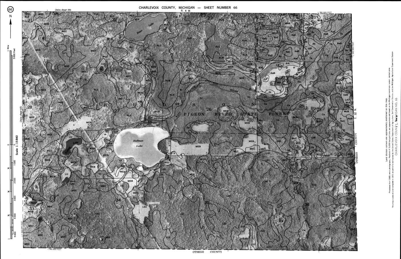
124 of 200 pages linked here — every page to 32, then every 2th, then the last 16. With JavaScript, every page.
Sources
- Project-generated USDA soil, woodland, tree-type, and wildlife evidence index (2026).Contains 18 source-section records plus 76 scan-verified paired-page row records covering all 11 wildlife-habitat columns, one explicitly unrated Made land row, three woodland types, 13 woodland suitability groups, the wildlife-habitat table, and the explicitly island-named Roscommon-Charlevoix-Mackinac association. No public copy of this file is known; the archive holds one and can provide it on request.soils · indices · usda_soil_woodland_wildlife_evidence_index
- Project-generated builder and provenance sidecar for the USDA evidence index.Retains OCR line ranges and PDF-page locators, hashes the held PDF and OCR input, and derives transparent soil-series, tree-type, soil-landscape, and island-name indexes. No public copy of this file is known; the archive holds one and can provide it on request.scripts · build_usda_soil_woodland_wildlife_evidence_index
- The held image-only source is authoritative for uncertain OCR characters and table cells. Fieldwork occurred in 1959–1962; the survey says statements generally refer to conditions around 1966.geology · publications · usda_1974_charlevoix_soil_survey
- OCR derivative of the held 1974 USDA soil survey.Provides searchable section text with reproducible PDF-page markers and source line locators; it is a discovery aid rather than a replacement for checking the scan. No public copy of this file is known; the archive holds one and can provide it on request.geology · publications · usda_1974_charlevoix_soil_survey_ocr
- Project-generated island-scale SSURGO soil ecology crosswalk.Provides separate map-unit context for Beaver, Garden, High, Hog, Whiskey, North Fox, and South Fox; the USDA woodland recommendations are not assigned to those polygons by this index. No public copy of this file is known; the archive holds one and can provide it on request.soils · ssurgo_island_soil_ecology_crosswalk
Added 3 August 2026. Recent changes
Cite this article
Beaver Island Archive, “USDA 1974 soil, woodland, tree-type, and wildlife evidence index”, https://beaverislandarchive.org/documents/usda-soil-woodland-wildlife-evidence-index-1974/, accessed [date], citing Project-generated USDA soil, woodland, tree-type, and wildlife evidence index (2026). (and 4 further sources listed on the page).
Last revised 2026-08-03. Fill in [date] with the date you read it — this page is static and cannot know that.
BibTeX for “USDA 1974 soil, woodland, tree-type, and wildlife evidence index”RIS for “USDA 1974 soil, woodland, tree-type, and wildlife evidence index”