

- Dates
- 1930 – 1939
- Eras
- Modern era
- Concepts
- cartographyland-surveypropertyland-usesettlementpublicationtransportation
- Within
- Beaver Island
- Media
- Plat of Garden Island, 1930s · Plat of the north end of Beaver Island, 1930s · Plat of the south end of Beaver Island, 1930s · Plats of the outer Beaver Islands, 1930s
Summary
The second commercial county atlas this archive holds for Charlevoix County, published by W. W. Hixson & Company of Rockford, Illinois perhaps thirty years after the Plat book of Charlevoix County, Michigan, 1901. Like its predecessor it draws every township to scale and names the owner of every parcel; unlike its predecessor it does so with no title page, no table of contents, no scale statement, no explanations panel, no directory of patrons and no date.
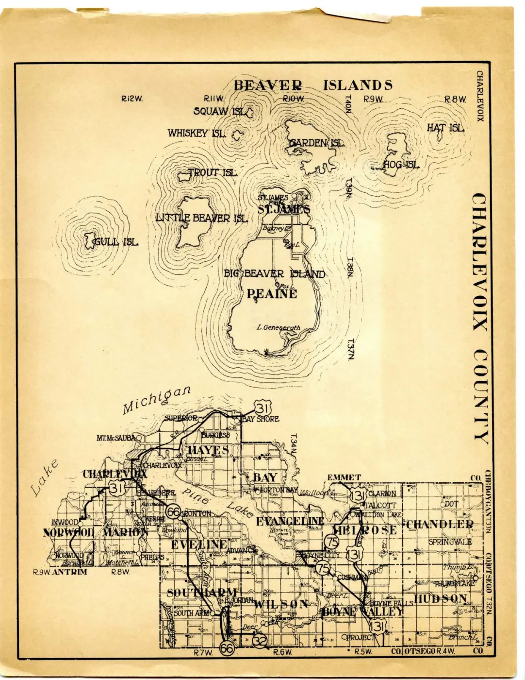
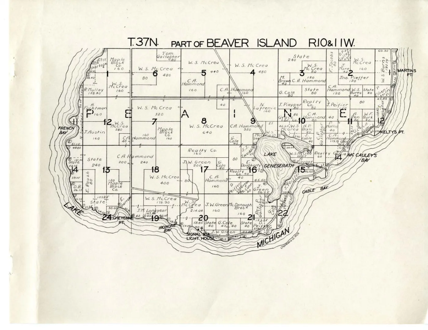
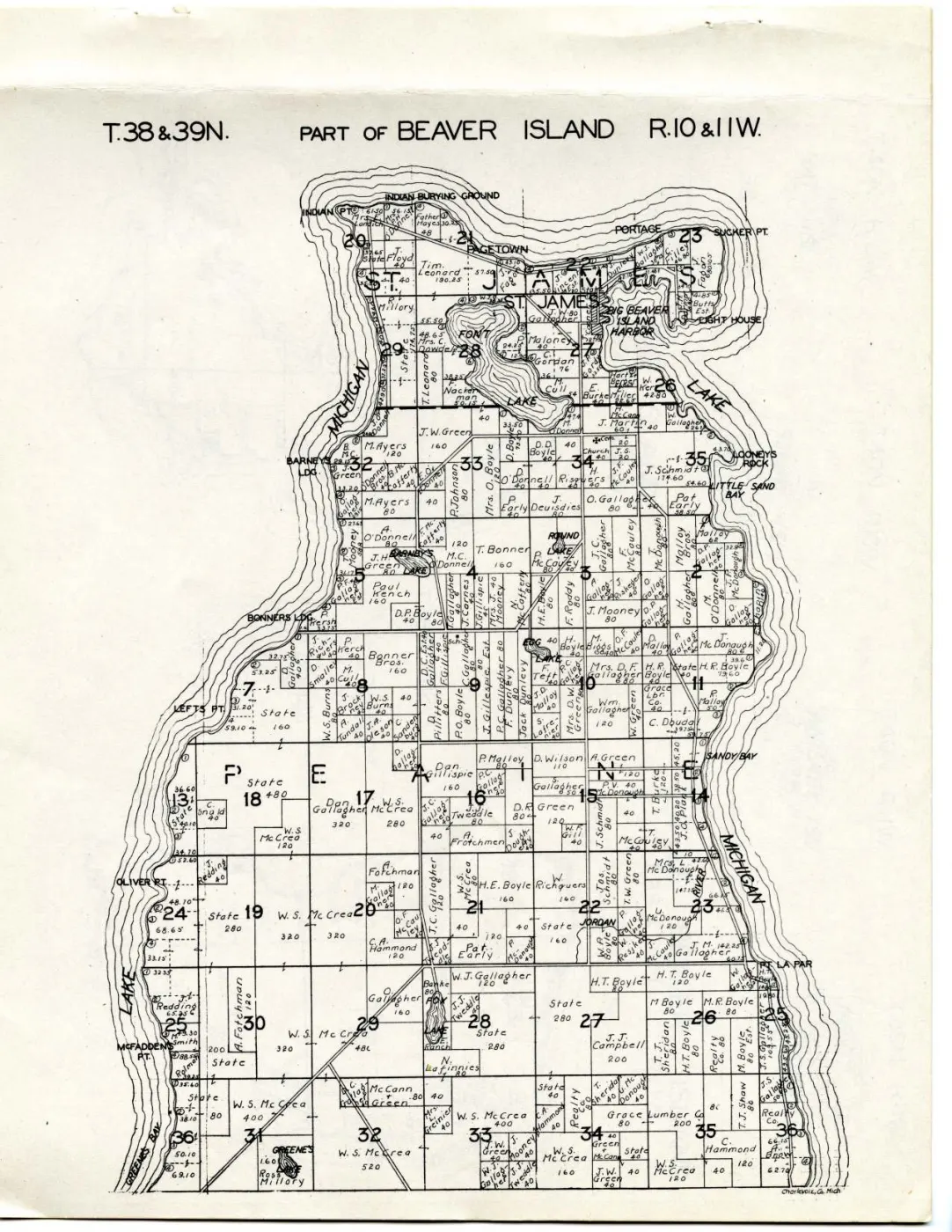
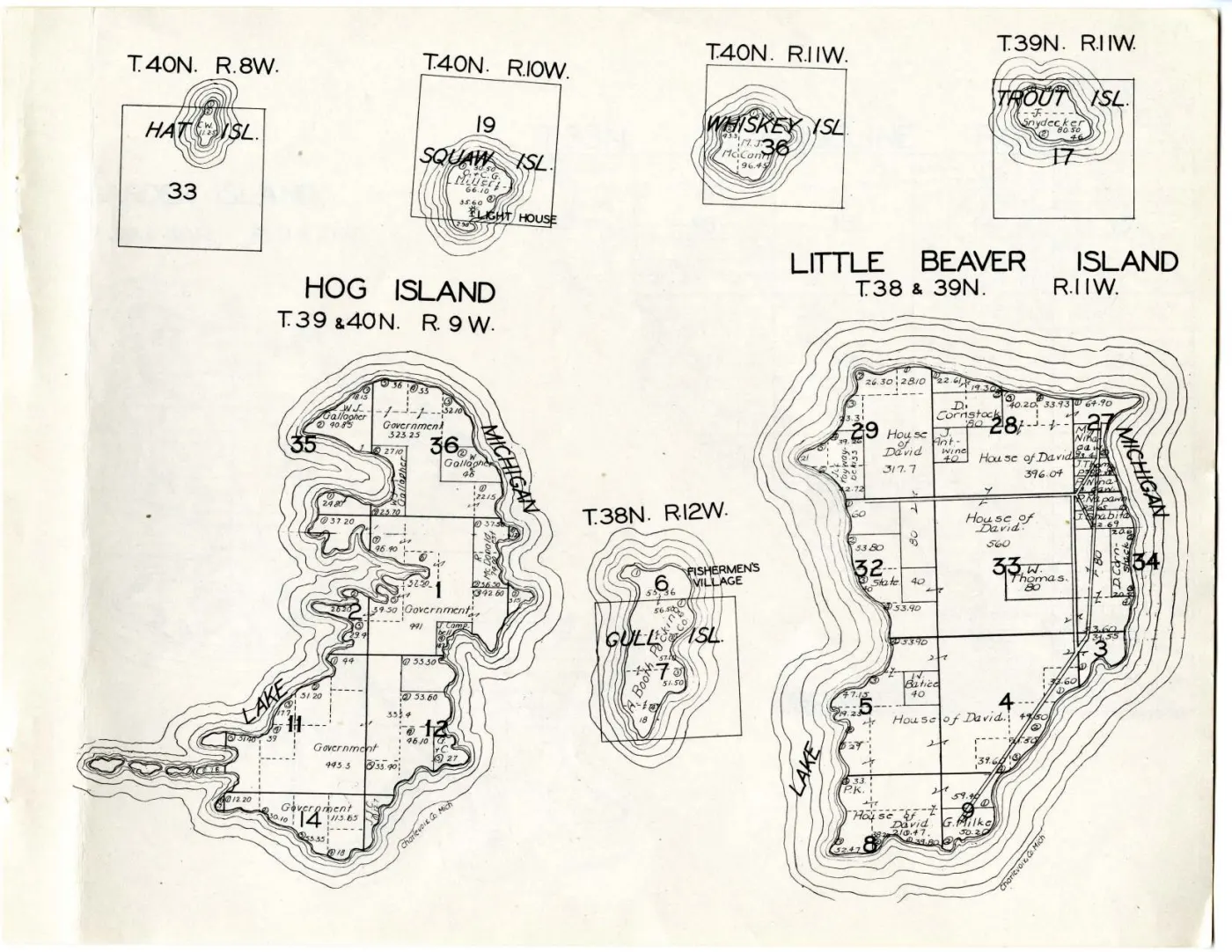
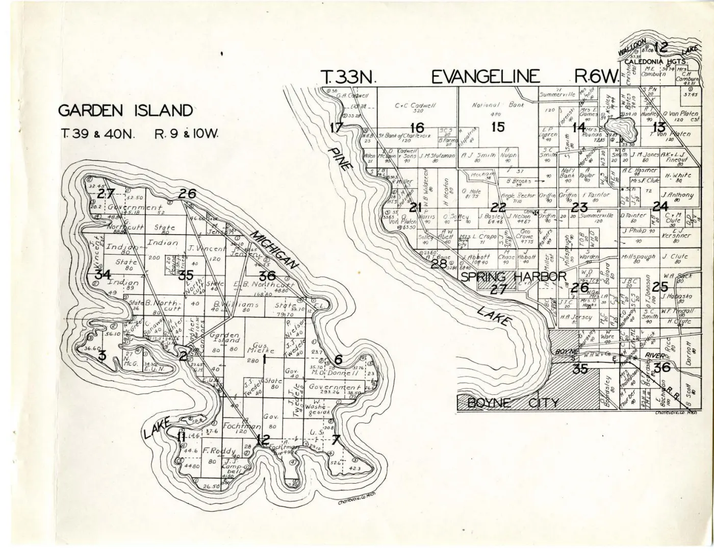
Five of its sixteen sheets map this archipelago — one more than the 1901 edition, and arranged differently. Beaver Island itself is split at the township line and given two sheets rather than one double-page spread; the outer islands are gathered onto a single leaf carrying seven separate plats; Garden Island shares a leaf with the mainland township of Evangeline; and a county index map draws the whole group at county scale, which the 1901 edition never did.
Two editions thirty years apart make a series, and a series answers questions a single sheet cannot. What changed on the ground between them, and what did not, is set out under “The two editions compared” below.
The date is a range, and it stays a range
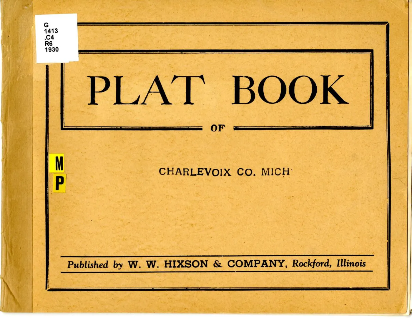
Michigan State University records the date as “Between 1930 and 1939”. That
is not a hedge this archive is adding: the atlas itself prints no date on the
cover, on any sheet, or anywhere else, because it has no title page or colophon
to print one on. The only “1930” in the digitisation is on the library’s own
call-number label — G 1413 .C4 R6 1930 — stuck to the paper cover, and that is
a cataloguer’s decision made long after publication, not the publisher’s
imprint.
So this volume is cited here as between 1930 and 1939 and never as a year. Anything dated from it inherits that width. Where a reading turns on the decade rather than the year — and most of what is interesting here does — the range is sufficient; where it would turn on the year, it is not, and the article says so.
What the volume is, and what it is not
The limits recorded for the 1901 edition apply here unchanged, and one applies harder. A plat book is a published compilation, not a legal record: it is strong evidence that a name was associated with a parcel in the county’s records as the compilers read them, and it is not evidence of title, of occupancy or of residence.
The 1901 volume at least stated its sources on its title page — “drawn from actual Surveys and the County records”. This one states nothing. It has no title page on which to make the claim, so a reader cannot know whether Hixson resurveyed anything, bought the county’s tax roll, or copied a predecessor. The compilation is therefore weaker evidence than the 1901 volume about how the names were arrived at, while being equally good evidence that they were the names the county carried.
One consequence is worth stating plainly. “Indian” is still the compilers’ label on four Garden Island parcels and it is still not a name. Thirty years after the 1901 edition did the same thing, the defect is repeated; it is a defect in the source and not an absence of people.
The sheets, and the numbering that will trip you
The atlas prints no leaf numbers, so a sheet in this volume has no folio to cite. It has two numbers instead, and they are not the same number.
| Canvas | PDF page | Sheet |
|---|---|---|
| 1 | 3 | Charlevoix County — the index map, with the Beaver Islands filling its left half |
| 12 | 14 | T.37N., Part of Beaver Island, R.10 & 11W. — the south end |
| 13 | 15 | T.38 & 39N., Part of Beaver Island, R.10 & 11W. — the north end |
| 14 | 16 | Hog, Little Beaver, Gull, Squaw, Whiskey, Trout and Hat islands — seven plats on one leaf |
| 15 | 17 | Garden Island and, on the right half, Evangeline township on the mainland |
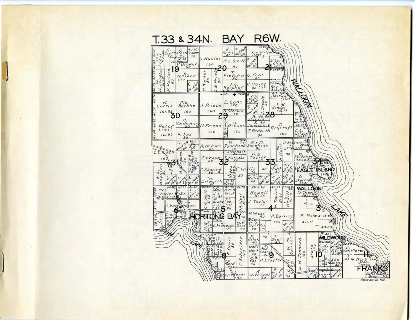
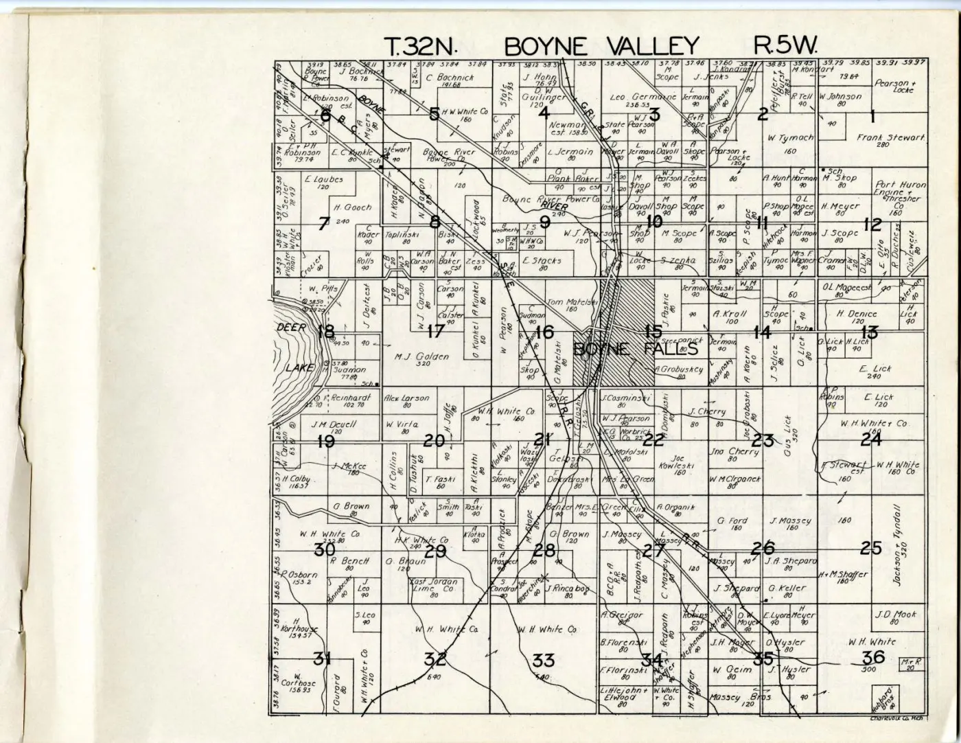
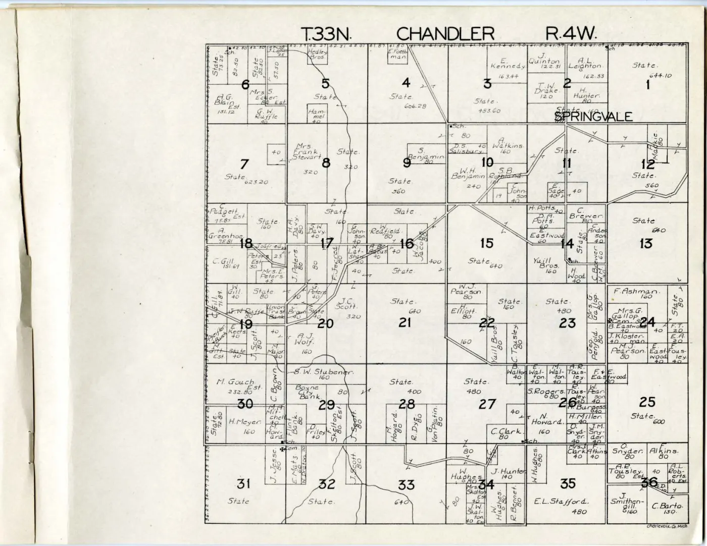
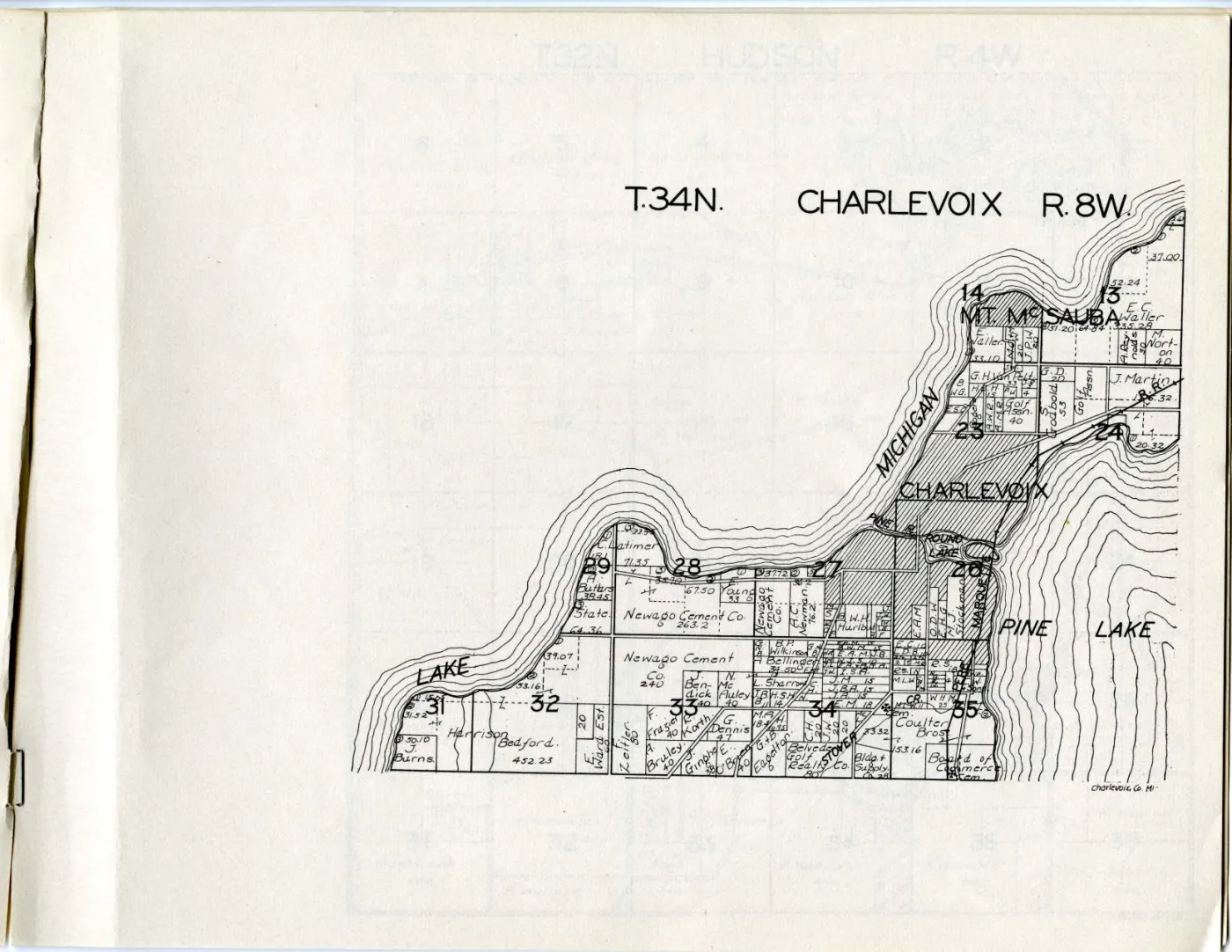
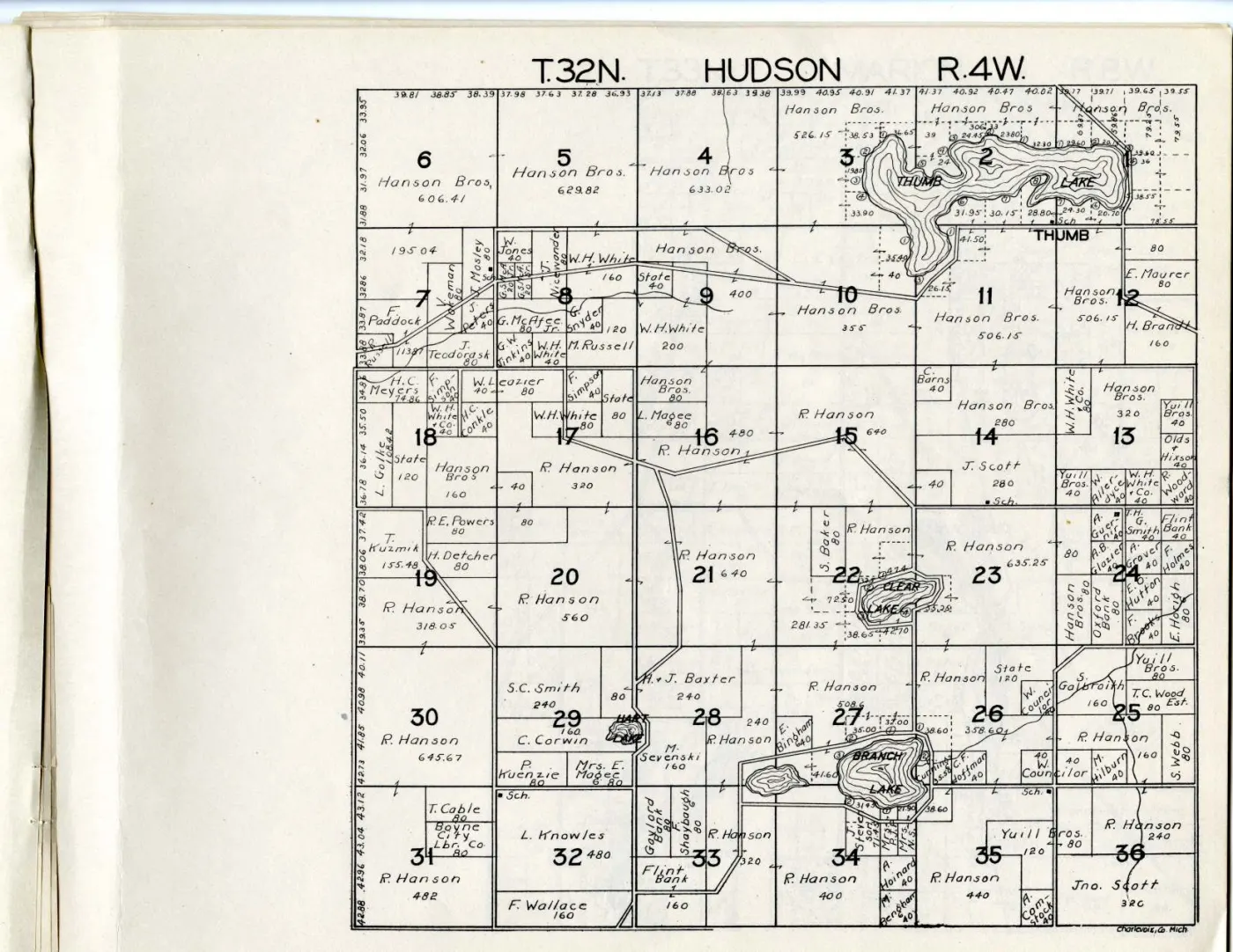
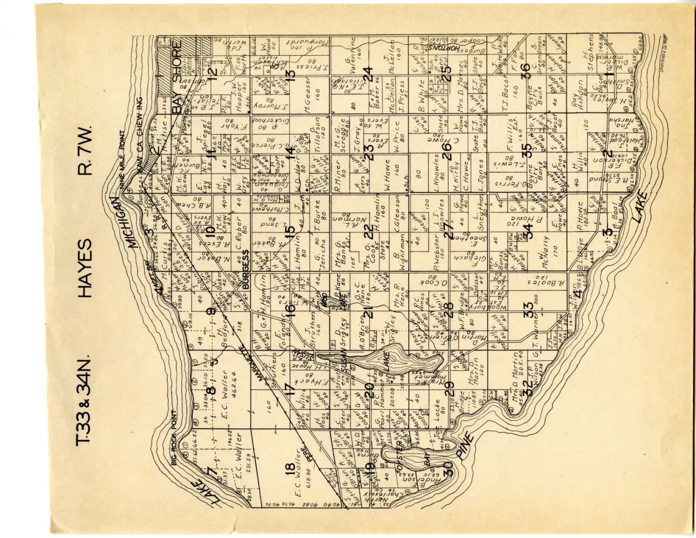
The other eleven sheets are mainland townships and are not held here.
Canvas position and PDF page differ by two, and the difference is not decorative. The holder’s viewer, its catalogue and its IIIF manifest all count canvases — the sixteen map leaves. The volume PDF additionally carries the printed cover, the library’s date-due slip and a blank verso, none of which are canvases. Read the catalogue’s “page 13” as page 13 of the PDF and you land on T.32N. Wilson, R.6W., a mainland township ninety miles from the island, and nothing about the sheet announces the mistake. Every citation from this volume therefore states which number it is using, and both are recorded in the archive’s own record of each sheet.
The 1901 edition has the same class of problem for the opposite reason: it does print folios, and they diverge from the scan’s image indices because three of its plates are double-page spreads. The two volumes fail in different directions, which is why neither can carry a single page offset.
The two editions compared
This is what a second edition buys, and the comparison is the reason to hold it.
The book itself got poorer, and the maps got bigger
The 1901 volume was the more finished object: forty hand-coloured maps at a stated 1:31,680, a title page naming the surveyors and the engraver, a table of contents, an explanations panel and six pages of patrons’ biographies. The Hixson volume is monochrome, undated, unattributed beyond the publisher’s name on the cover, and carries nothing but maps.
What it gives back is scale on the island. In 1901 all of Beaver Island fitted on one double-page spread; here it takes two full sheets, so the parcels are drawn larger and more of the small forty-acre labels along the east shore and around St. James are legible. The trade is a plainer book with a better map.
One thing is simply lost. The 1901 volume printed a village lot plat of St. James, showing Main, Cherry, Bonner and Forest streets and the numbered lots along the harbour. The Hixson volume has no village plat at all. For lots inside the village, the earlier edition remains the only one of the two that answers the question.
The same man still owns the middle of the island
W. S. McCrea was the largest holder on Beaver Island in 1901, on at least
thirty parcels including several whole sections. Thirty years later he is still
the largest holder, and by a similar margin. On the south sheet the name
carries the whole of section 8 at 640 acres, with 480, 440, 400, 320, 280,
214.04 and 178.90-acre blocks around it; on the north sheet it carries 520, 480,
400, 400, 320, 320, 280 and 120-acre blocks through the island’s interior. The
form has changed slightly — the 1901 sheet also used W. S. McCrea & Co., and
this one does not — but the holding has not.
That is the most substantial single statement either edition makes, and it is made twice, three decades apart, by two unrelated publishers working from the county’s records. No article in this archive is about McCrea, and no other holding names the man. Two independent dated attestations of the largest private landholding on Beaver Island, and nothing else at all: it remains the best research lead these sheets produce, and it is now a stronger one.
Corporate names arrive where individual names were
Alongside McCrea the 1930s sheets carry a set of company and absentee names that
the 1901 sheet does not: Maple Block Co. on three parcels, Grace Lbr. Co.
(also lettered Grace Lumber Co.), Realty Co., C. A. Hammond on a dozen
parcels from 40 to 240 acres, J. M. Longyear, McDonough Bros., G. Cole,
D. Peiffer and D. Peiffer Est., and Booth Packing Co. on the whole of Gull
Island. Some island surnames run straight through both editions — Gallagher,
Boyle, Malloy, Green, Martin, McCauley, McDonough, Bonner, Early, Schmidt — and
some 1901 names recur in initialled form, N. Saunders for the 1901
Nathan Saunders and E. Sparrow for E. W. Sparrow among them.
State also holds far more ground in the 1930s than in 1901. In 1901 the
State parcels were mostly a run of shore lots; here they are inland blocks of
240, 280, 160, 80 and 40 acres scattered through both island sheets. The obvious
explanation is tax reversion in the 1920s and 1930s, and it is only that — an
explanation, unsupported by anything held here. The observation is the finding;
the cause is a question.
High Island changes hands completely
The sharpest single change between the editions is not on Beaver Island at all.
In 1901 the plate covering Little Beaver — the name both the 1849 federal survey
and this atlas use for High Island — marked a large number of parcels
simply “Indian”, with individual Anishinaabe owners named on others. On the
Hixson sheet the island is held in five large blocks by House of David —
317.7, 396.04 and 560 acres among them — with a strip of small parcels along the
east shore still carrying Anishinaabe names, and a handful of other holders.
This archive’s account of the House of David colony on High Island rests on secondary and retrospective sources that disagree about its span: one gives 1912–1932, a 1967 local retrospective puts the arrival around 1906–1910 and the end after a 1930 court settlement, and a 1936 court report places a colony employee on the island. A dated cadastral sheet naming the colony as the holder of nearly the whole island is a different kind of evidence from any of those — contemporaneous, and drawn from the county’s own record rather than from recollection. It cannot settle the end date, because the volume’s own date is a ten-year range and a county record can lag a departure by years. It does put the colony in the county’s records as High Island’s landholder within that range, which none of the held sources does.
Neither edition ever draws the railway
The 1901 sheet’s legend distinguished a rail road from a proposed rail road and drew neither on the island; the Beaver Island Lumber Company was organised in December 1902 and began moving timber to St. James by narrow-gauge railway in June 1903, a year and more after that plate was drawn.
The Hixson sheets are on the far side of that history — the accounts this archive holds put the company’s end somewhere between 1915 and 1917 and disagree about which, so the railway had been gone at least thirteen years before the earliest date this atlas can carry — and they draw no railway either. No cross-tied symbol appears anywhere on any of the five sheets. The line work on the island is roads: two solid parallel rules, running along section lines and cutting diagonally across them, forking at junctions.
So the archive’s two plat books bracket the island’s logging railway without either of them showing it. That is a fact about when the two volumes happen to have been compiled, not about the ground, and a reader who goes to a plat book for the railway will come away with a wrong answer twice.
What the second edition does and does not settle about the King’s Highway
The 1901 sheet drew a long route inland with two dashed casings — a style in neither its legend nor anywhere else on that sheet — and the earlier article recorded, correctly, that it could not be read as either the wagon road or the proposed rail road the legend defines.
The hope was that the second edition’s legend would resolve it. It does not, because this edition has no legend. Hixson printed no explanations panel, and without one the double casing on these sheets is undefined in exactly the way the 1901 dashes were.
What it does contribute is weaker and still worth having. The same general alignment — inland from the McFadden’s Point and Greene’s Bay corner, north-east past Fox Lake and on across the island — is drawn here as an ordinary road, with solid casings identical to every other road on the sheet, and with a fork. That is consistent with the 1901 dashes having marked a route that was unimproved or projected and later became an ordinary road. It is consistent with, not evidence for: the sheets have not been georeferenced, so “the same alignment” is read off the section grid rather than measured, and neither volume defines its own symbols well enough for the two to be compared. See King's Highway.
There is one further small thing the sheets do not explain. Many parcel labels carry a small hooked mark drawn like a figure 6, and short arrows point from a name into the adjoining parcel. The 1901 legend defines a hook as joining lands owned by the same party, which fits what is drawn — but that is a different publisher’s legend, and a legend from one book is not evidence about another. Recorded as unresolved.
Toponymy
The five sheets are a second dated attestation for most of the archipelago’s names, thirty years after the first, and three of them matter.
CABLE BAY, spelled with a C. The 1901 sheet lettered the same bay
GABLE BAY. with a G, and Cable Bay carries “Gable Bay” as a variant.
This sheet spells it Cable. The bay is drawn on the south-east shore, between
the outlet end of Lake Geneserath and McCauley Bay, which
is where this archive places it and where a mis-statement has been made before.
KELTY'S PT. — spelled Kelty here, as it was in 1901. Two commercial
atlases, thirty years and two publishers apart, both spell the cape Kelty; GNIS
derives Kilty Point from Pat Kilty of the 1845 survey crew. Which cape
either sheet’s label denotes is still unresolved, because neither has been
georeferenced and the archive holds two nearby capes.
PAGETOWN — labelled again on the north sheet, on the north shore between
Indian Point and the Portage, as it was in 1901. The archive now holds two dated
cartographic attestations of a settlement name for which it has no article.
LAKE GENESERATH is lettered in full on the south sheet, which is worth noting
only because James Strang wrote “Galilee” and never used this form.
Open questions
- Who were W. S. McCrea, and by what route did the same name hold the interior of Beaver Island across thirty years and two editions? Unchanged from the 1901 article, and now twice as conspicuous.
- What is the small hooked mark beside so many parcel labels? Another Hixson county atlas with the same engraving conventions would settle it.
- What year is this? A dated advertisement, a Hixson catalogue, or a cross-reference to a Charlevoix County event drawn on a mainland sheet would narrow the ten-year range.
- Whether Hixson issued more than one Charlevoix printing. A second impression with different holdings would turn two points into three.
- Whether any later 20th-century plat book covers the county, which would extend the series past the Second World War.
See also
Sources
- W. W. Hixson & Company, Plat Book of Charlevoix Co. Mich. (Rockford, Ill.,
between 1930 and 1939). Michigan State University Digital Repository item 946,
ARK
ark:/85335/m54x58j2t; sixteen map leaves, held here as the volume PDF and as five sheet masters. - Michigan State University Libraries catalogue record for the same item: the date range, the extent, the “Cover title” and “One folded map inserted” notes, and the “No Copyright” status.
- The volume’s IIIF Presentation manifest: the canvas order and the separately catalogued repository item behind each sheet.
kb/articles/documents/charlevoix-county-plat-book-1901.mdandkb/articles/documents/big-beaver-island-plat-1901.mdfor every 1901 reading quoted above.kb/articles/places/high-island.mdfor the disputed span of the House of David colony.kb/articles/organizations/beaver-island-lumber-company.mdfor the December 1902 organisation and June 1903 start of the island’s narrow-gauge railway.
Read the document
19 pages, rendered from the held scan.

Sources
- The holder's paged reading copy of the whole volume, 19 pages. It carries the printed cover, the library date-due slip and the blank verso as well as the sixteen map leaves.historical_maps · charlevoix_county_plat_book_1930s · charlevoix-county-plat-book-1930s
- The catalogue record. Source of the date range, the extent, the cover-title note and the rights statement. The date is a RANGE and the repository gives no year.
- The record the sheet-to-canvas mapping was read from, and the evidence for the canvas-to-page offset described below.historical_maps · charlevoix_county_plat_book_1930s · charlevoix-county-plat-book-1930s.iiif
Cite this article
Beaver Island Archive, “Plat book of Charlevoix County, Michigan, 1930s”, https://beaverislandarchive.org/documents/charlevoix-county-plat-book-1930s/, accessed [date], citing W. W. Hixson & Company, *Plat Book of Charlevoix Co. Mich.* (Rockford, Ill.: W. W. Hixson & Company, between 1930 and 1939). Cover title, read directly from the scan; the atlas prints no date anywhere. (and 2 further sources listed on the page).
BibTeX for “Plat book of Charlevoix County, Michigan, 1930s”RIS for “Plat book of Charlevoix County, Michigan, 1930s”