

- Dates
- 1929 – 1955
- Eras
- Modern era
- Concepts
- cartographyland-surveypropertyhistoriographypublication
- Within
- Beaver Island
Summary
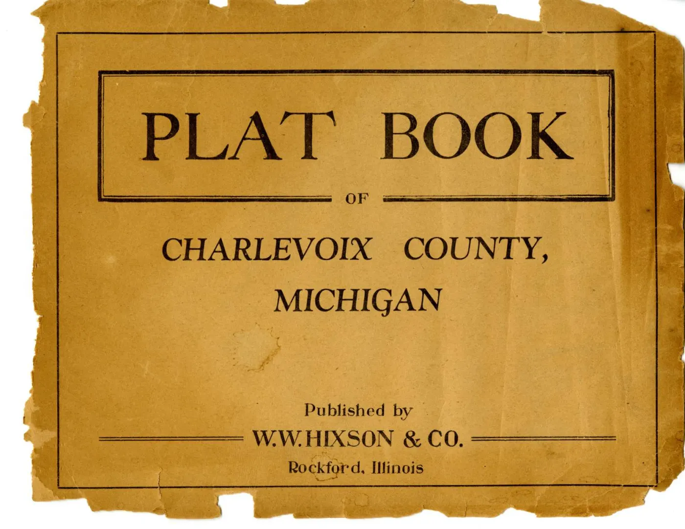
Michigan State University holds two copies of the W. W. Hixson plat book of Charlevoix County, catalogued as separate items with different dates. This is the second: item 113, dated between 1929 and 1955, alongside Plat book of Charlevoix County, Michigan, 1930s, dated between 1930 and 1939.
Both are held here, and the reason is not completeness for its own sake. The two copies are made up differently: the sheets are not the same set, and one of them prints Garden Island on a leaf of its own where the other shares that leaf with a mainland township.
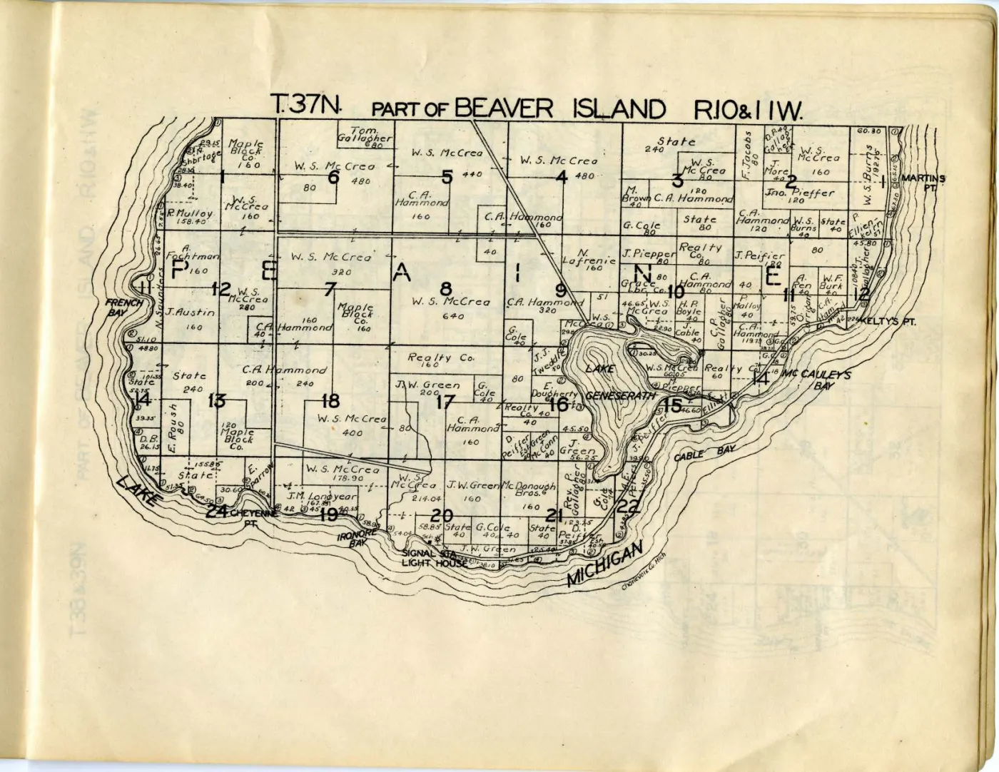
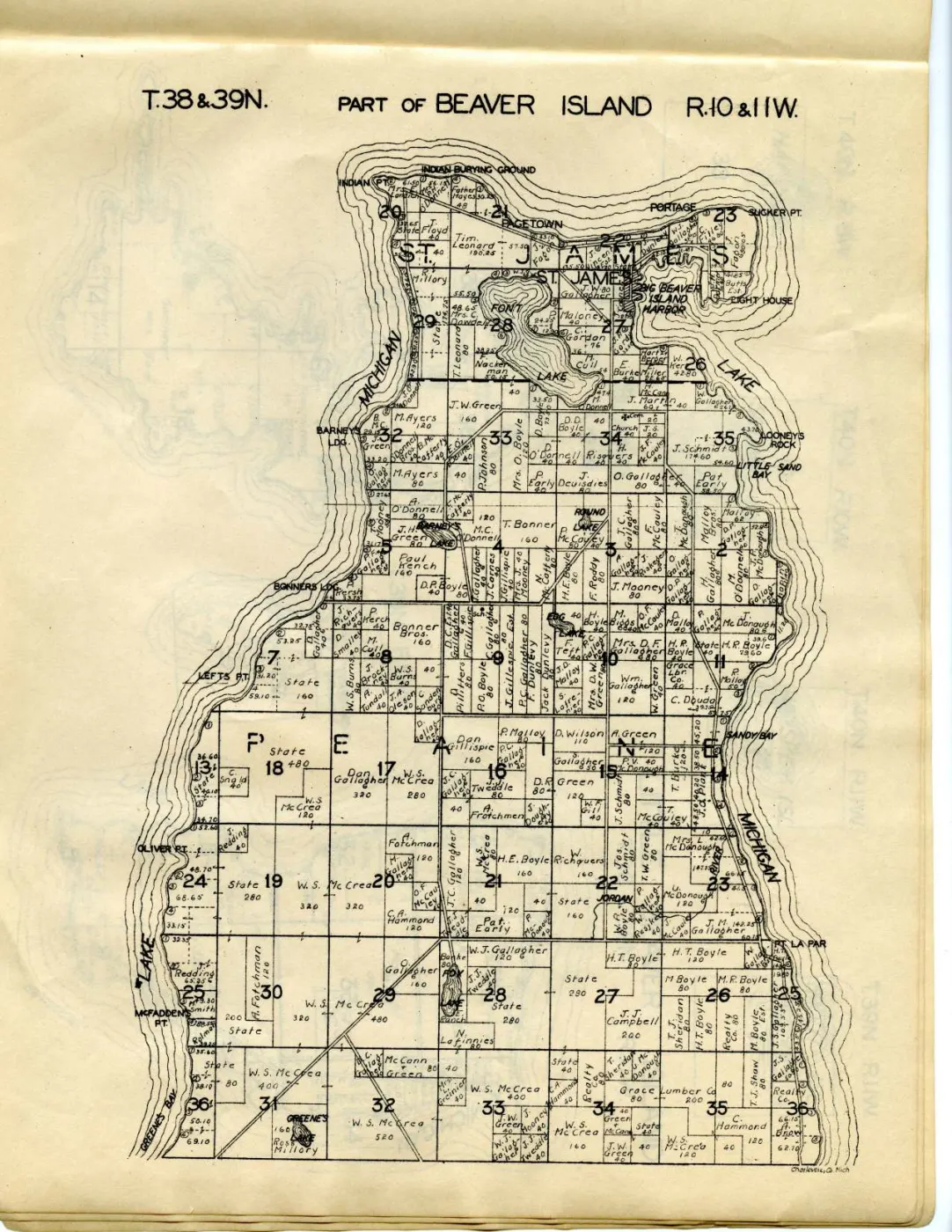
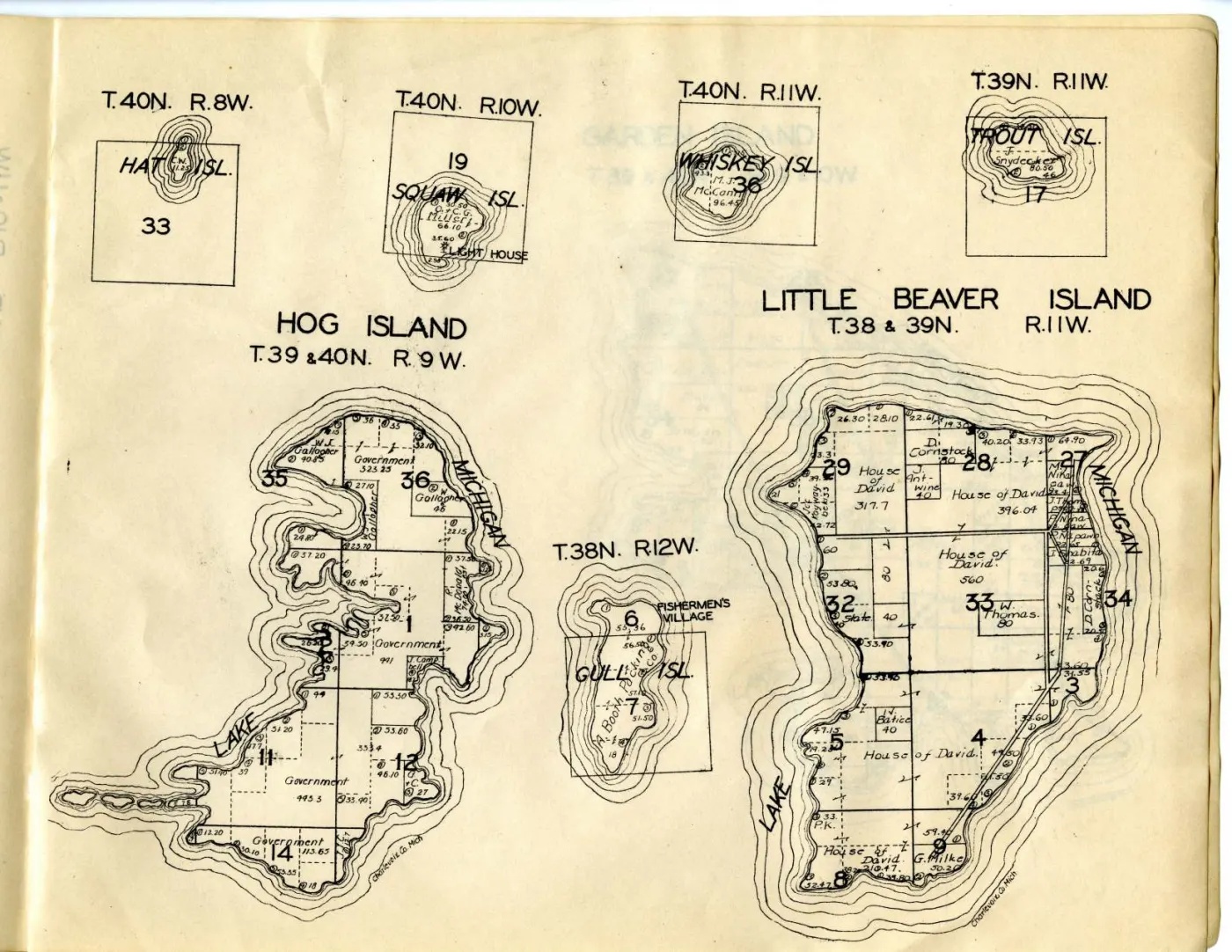
The island plats are the same engravings
This has been checked rather than assumed. Read at native resolution against
each other, the archipelago sheets in the two copies carry the same owner
names, the same acreages, the same section numbering and the same road lines —
W. S. McCrea on the same blocks, C. A. Hammond, Maple Block Co.,
Grace Lbr. Co., Realty Co. and Rev. P. Gallagher on the same parcels,
CABLE BAY and KELTY'S PT. lettered identically. They are impressions from
one set of plates, and the two copies are therefore one edition’s worth of
ownership evidence, not two.
Nothing in this article should be read as a second, independent dated statement about who owned Beaver Island. The comparison that matters remains 1901 against Hixson, and it is set out in Plat book of Charlevoix County, Michigan, 1930s.
What does differ
| item 946 | item 113 | |
|---|---|---|
| Repository date | between 1930 and 1939 | between 1929 and 1955 |
| County index map as a canvas | yes, with the Beaver Islands filling its left half | no |
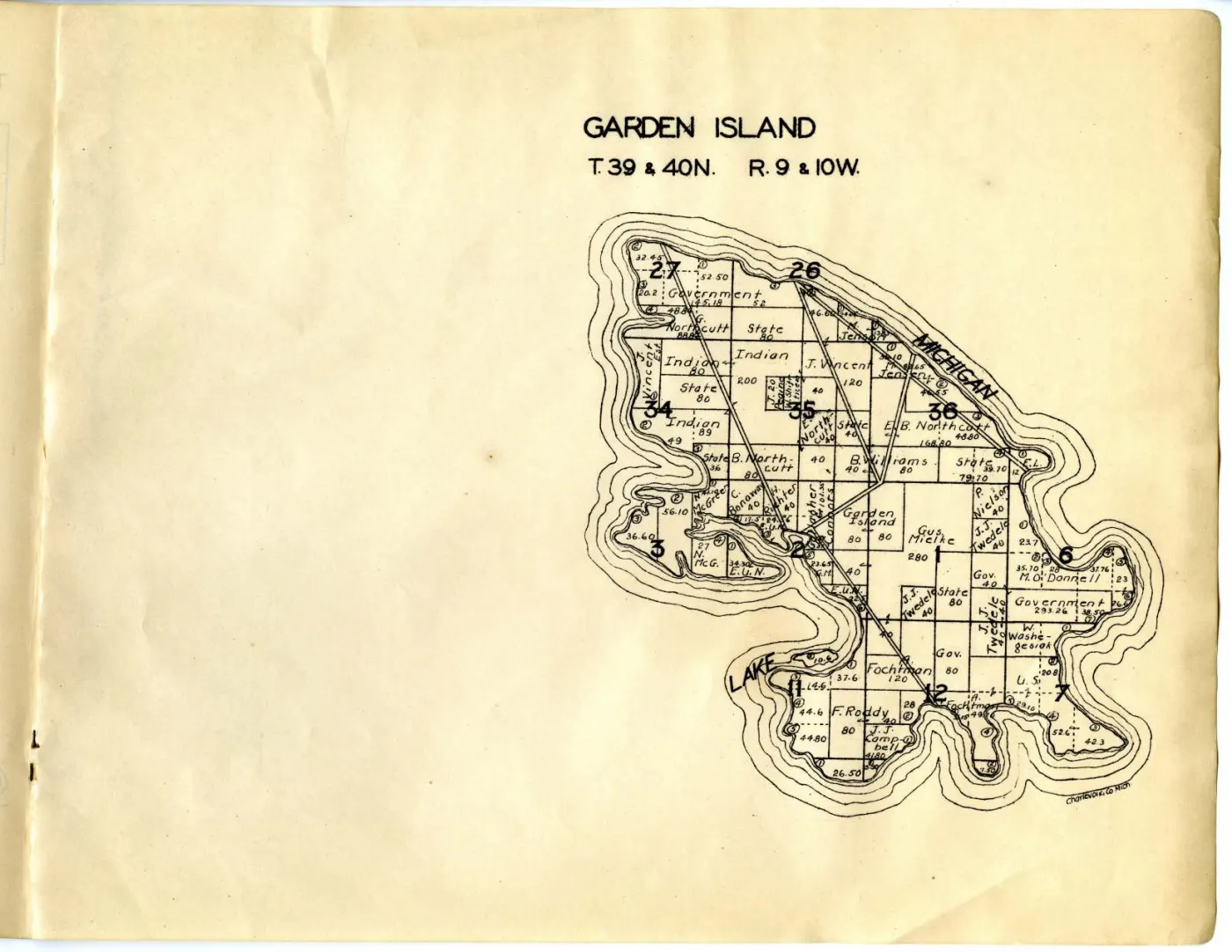
| Garden Island | shares its leaf with T.33N. Evangeline | printed alone on the leaf |
| Eveline and Evangeline townships | Evangeline only, on the Garden Island leaf | both, as separate sheets |
| Melrose township | yes | no |
| Volume PDF | 19 pages | 18 pages |
Two consequences follow.
The standalone Garden Island leaf is the better facsimile of that plat. With the Evangeline half of the sheet blank, the island is drawn on a clean page and nothing competes with it.
The two copies are impressions with different make-up, which is ordinary for a jobbing atlas publisher and is worth stating because it explains why a repository can date two copies of “the same book” thirty years apart without either being wrong. MSU’s floor for this copy comes from the routing of state highway M-66 to Charlevoix on the folded county map bound into it — evidence about the county map, which a publisher could reprint and rebind without touching the island plates.
A correction: these sheets were dated 1900 in this archive
Three of this volume’s leaves were already held here before it was identified,
under filenames giving them the year 1900 — beaver-island-1900,
garden-island-1900, hog-island-1900. They were published on the open web
under that date.
They are not 1900 sheets. Each is a leaf of this atlas: the repository
catalogues them as pages of item 113 and dates them, in the same machine-readable
field as the volume, 1929/1955. The year in the filename was never in the
holder’s record — the provenance sidecars written at the time carry the sheet
titles and say nothing about a date — and it was carried on the site as a date
for six years’ worth of the wrong century’s end.
The three files have been re-retrieved into this volume’s own directory with the holder’s date, ARK and canvas position recorded, and the mis-dated copies removed. The fourth archipelago sheet in this copy, the north end of Beaver Island, had never been retrieved at all and now is.
The general lesson is the one this archive keeps relearning: a filename is not a citation. A slug that asserts a fact the provenance record does not contain will be believed by everything downstream, because nothing downstream has any other date to check it against.
The sheets held
| Canvas | PDF page | Sheet |
|---|---|---|
| 12 | 14 | T.37N., Part of Beaver Island, R.10 & 11W. |
| 13 | 15 | T.38 & 39N., Part of Beaver Island, R.10 & 11W. |
| 14 | 16 | Hog Island, Little Beaver Island and the small outer islands |
| 15 | 17 | Garden Island, alone on the leaf |
The canvas and the PDF page are different numbers, and in this volume no constant offset relates them: canvas 1 is PDF page 2 while canvas 12 is PDF page 14, so an extra leaf appears part way through. Each page above was verified against its own printed heading.
Open questions
- Which impression is earlier. The make-up differences ought to be orderable by someone who knows Hixson’s practice; nothing held here settles it.
- Whether the folded county map bound into this copy is the same sheet as the county index map that is a canvas in the other copy.
- Whether any other institution holds a Hixson Charlevoix atlas with a dated advertisement or an imprint, which would replace both ranges with a year.
See also
Sources
- W. W. Hixson & Company, Plat Book of Charlevoix County, Michigan (Rockford,
Ill., between 1929 and 1955). Michigan State University Digital Repository
item 113, ARK
ark:/85335/m51g0nw2j. - The MODS record for item 113 and for each of its archipelago leaves, held
with the sheets: the ARKs, the
dateIssuedrange, the extent, the scale and the dating note. - The IIIF Presentation manifest for item 113: the canvas order and sheet titles compared against those of item 946.
Read the document
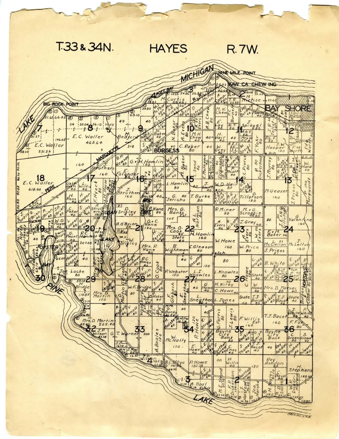
18 pages, rendered from the held scan.
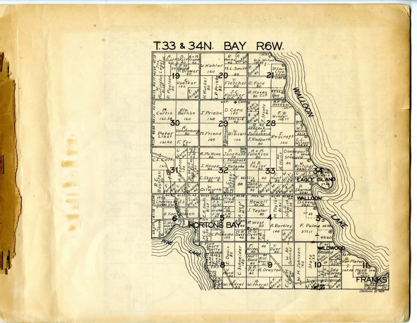
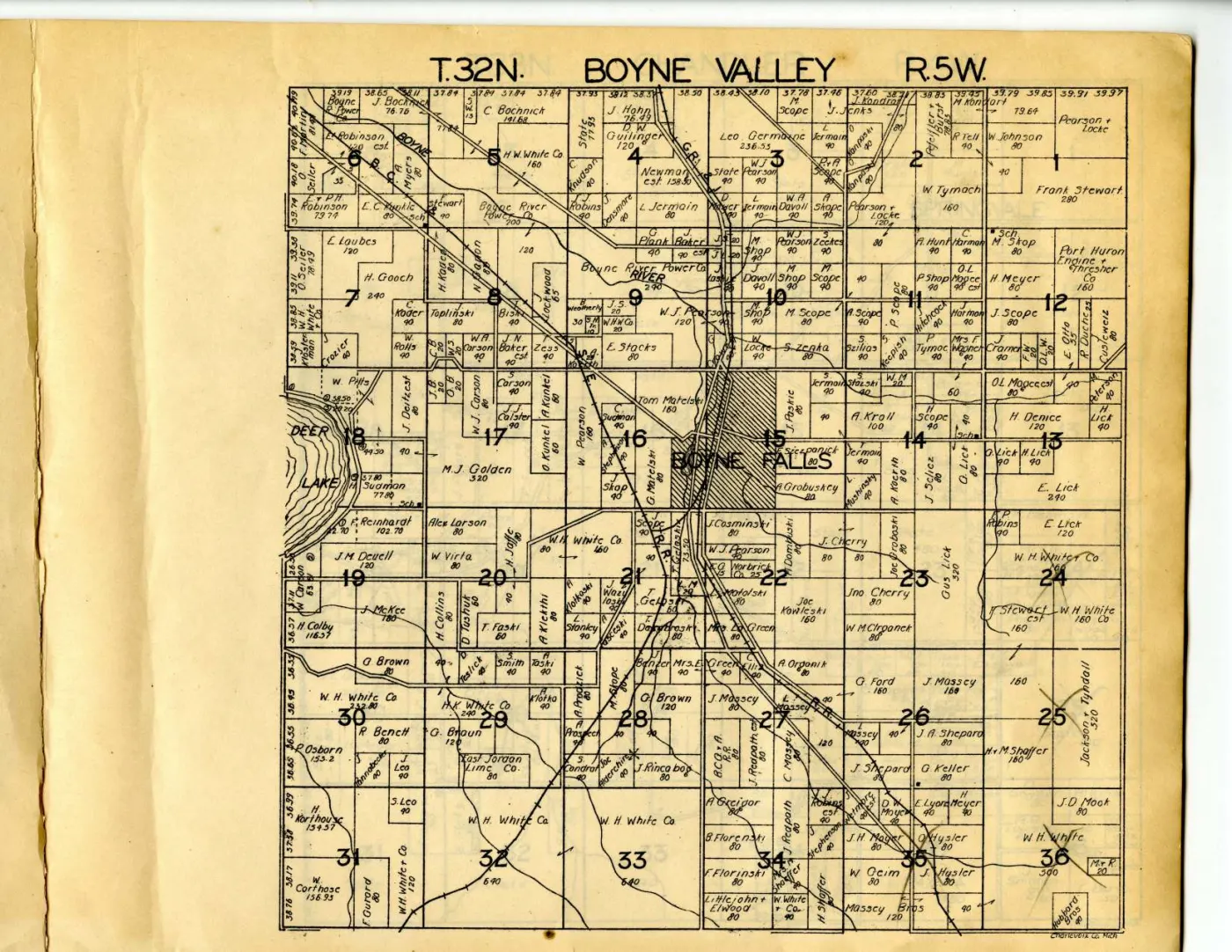
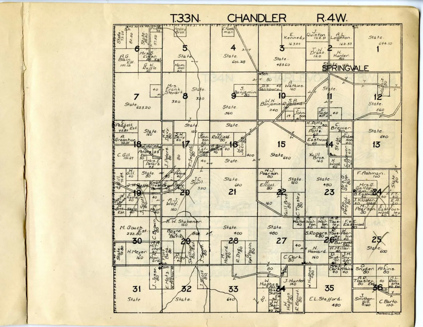
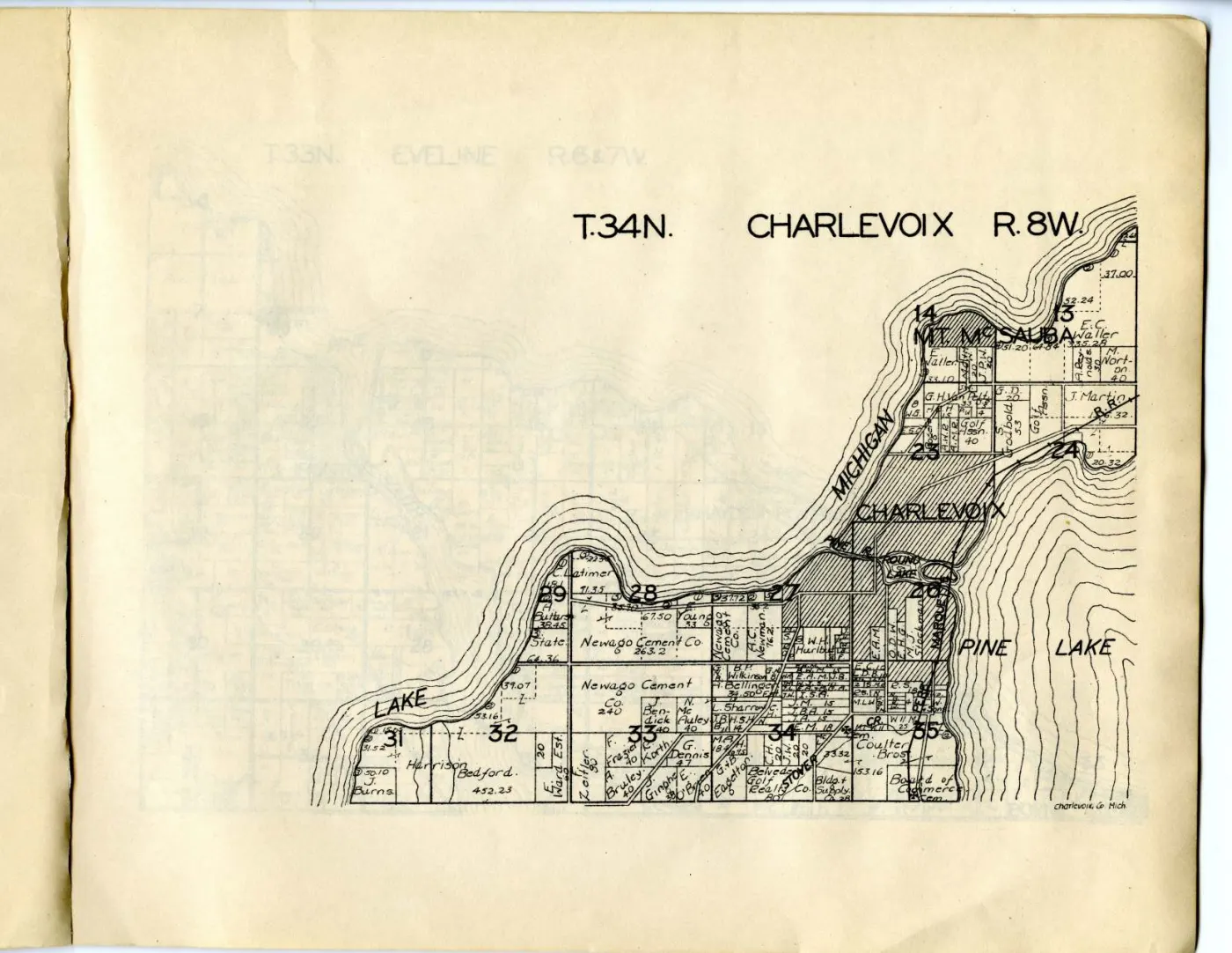
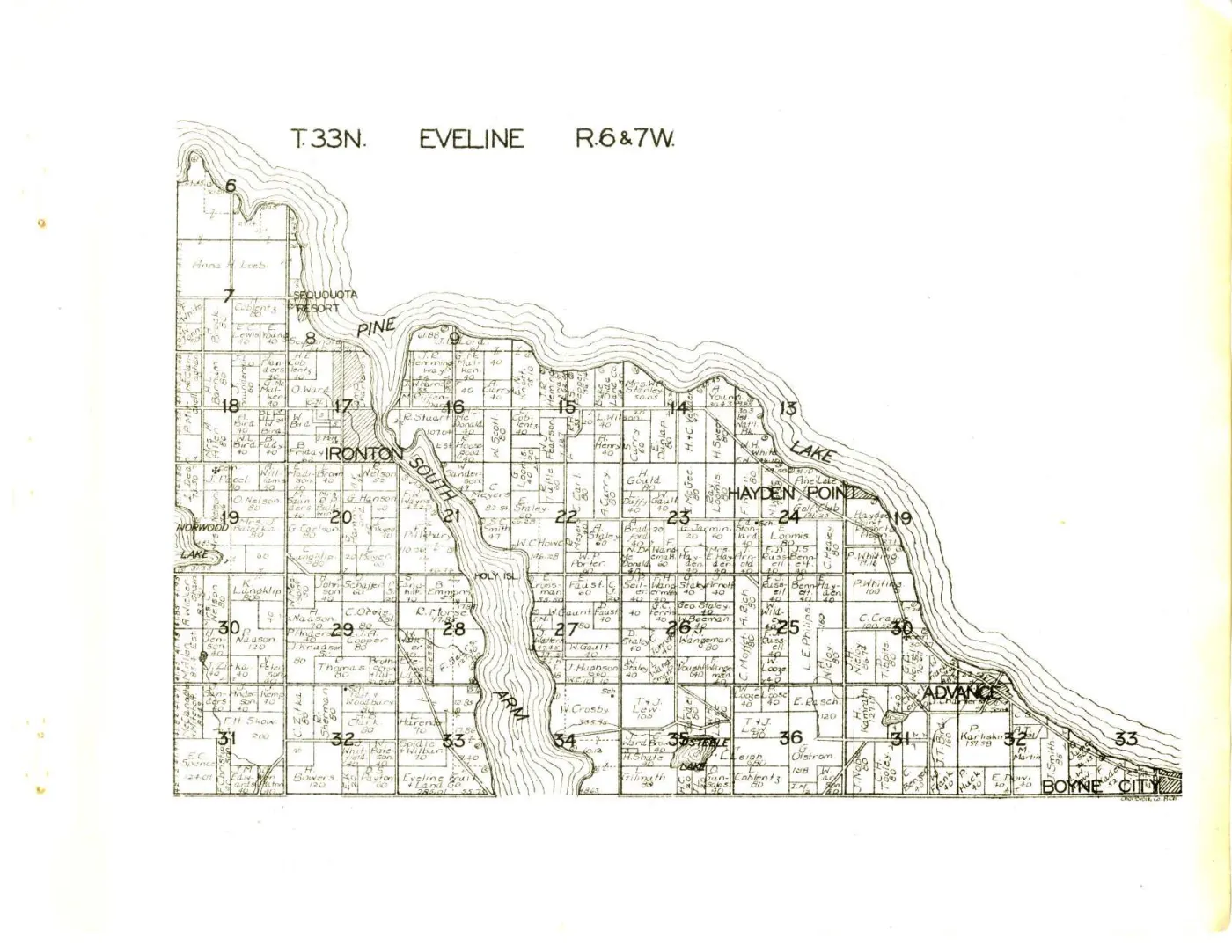
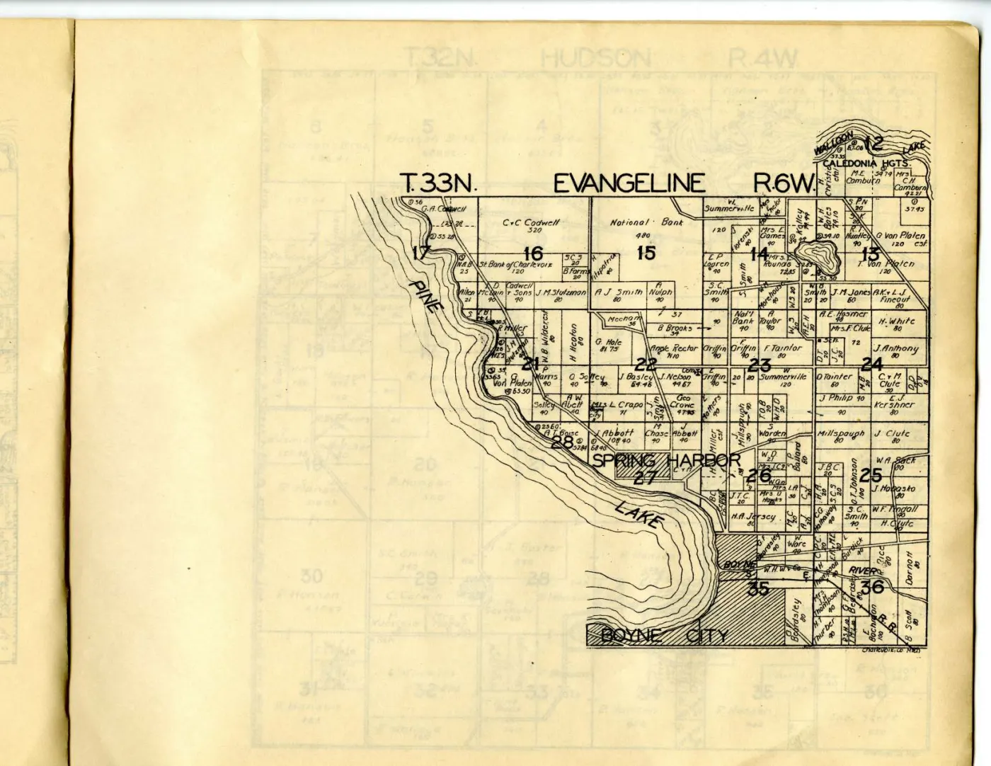
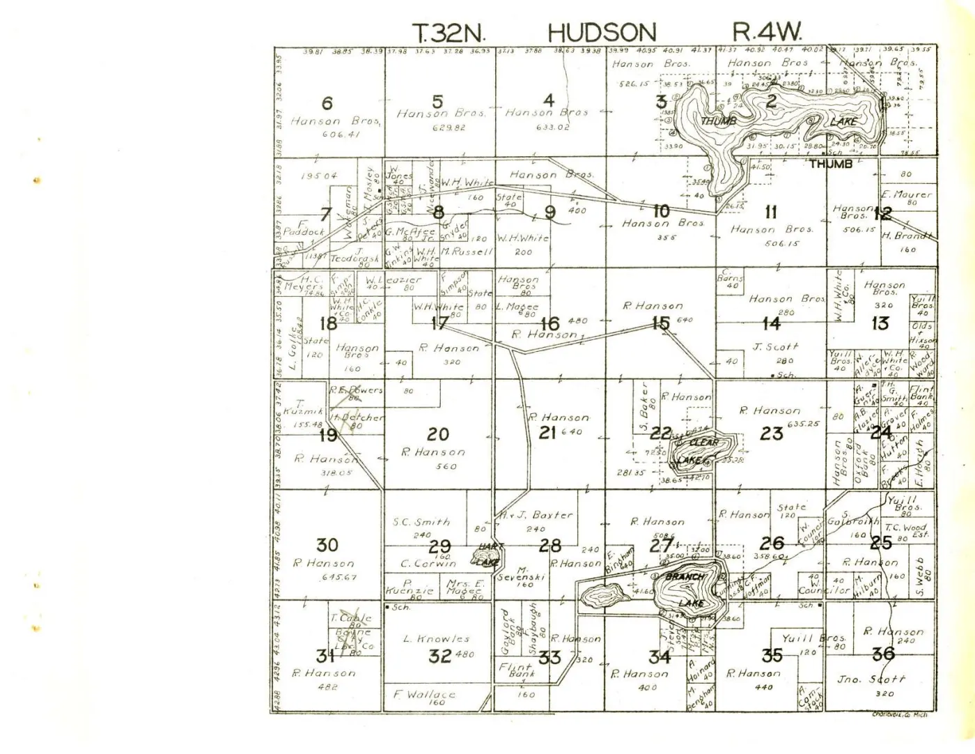
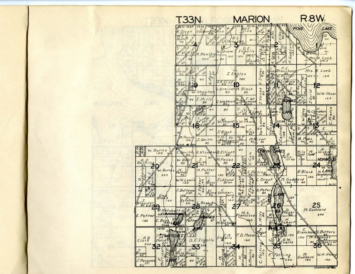
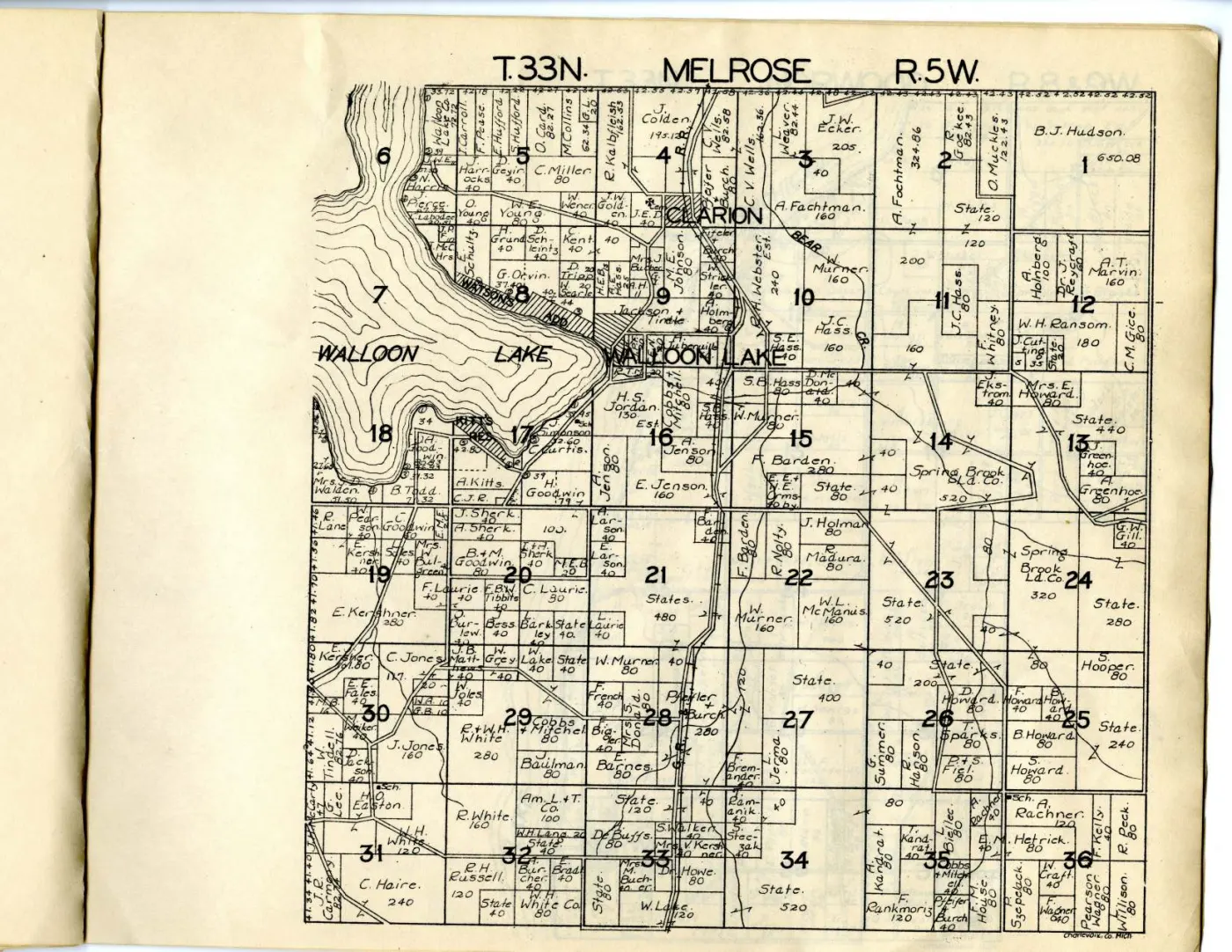
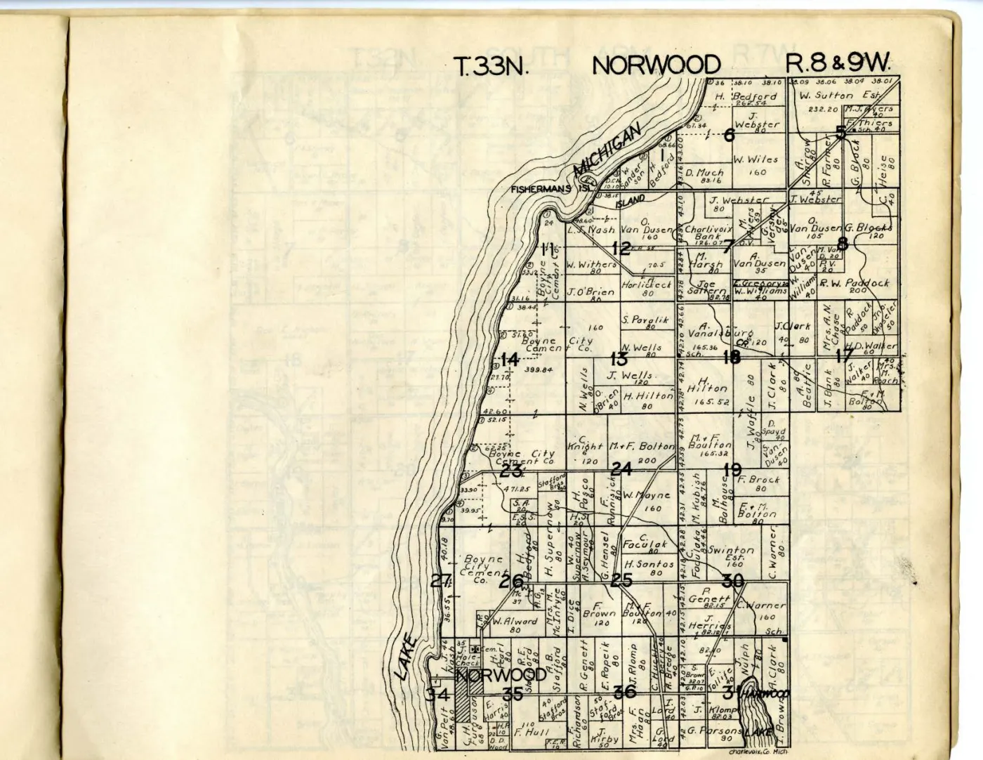
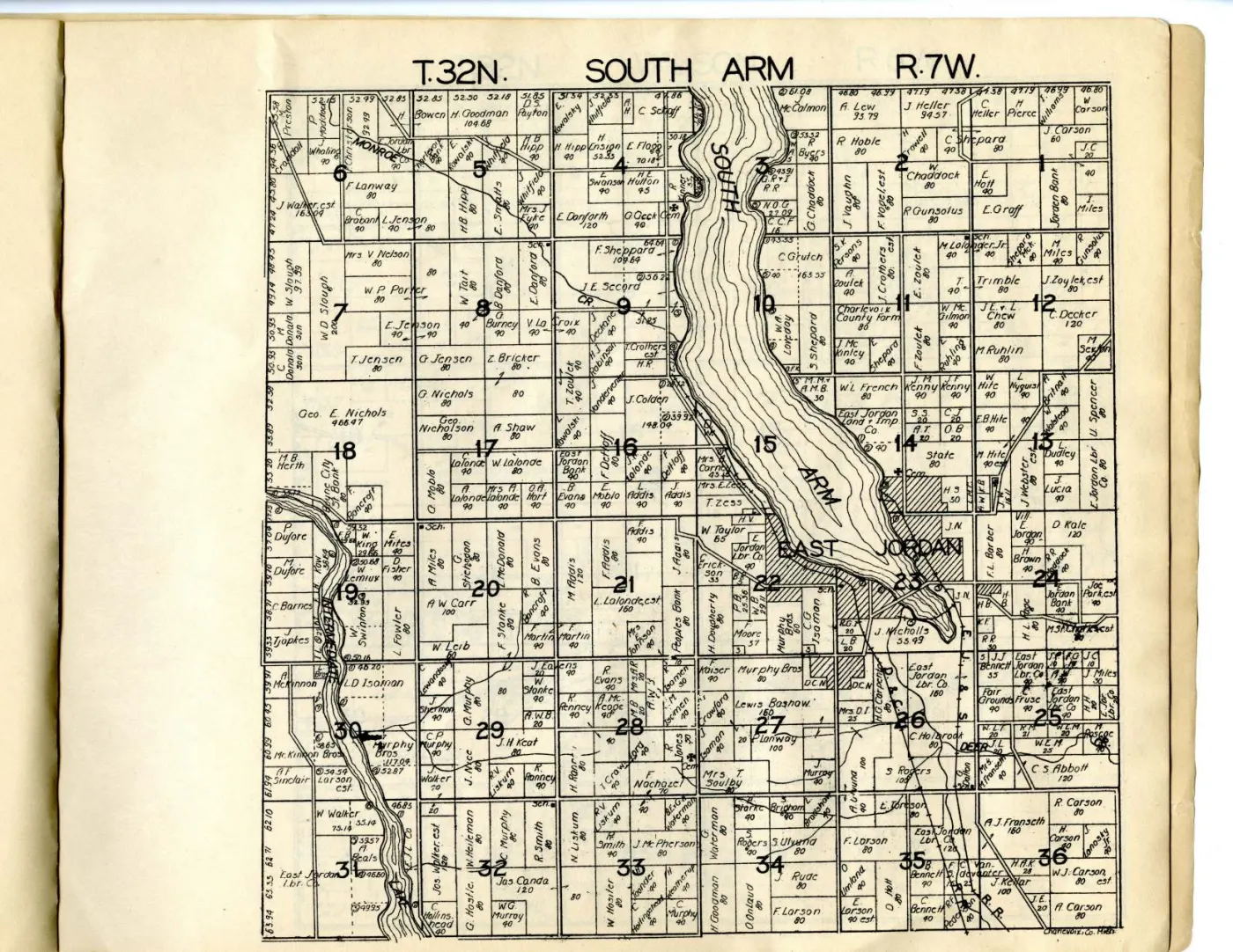
Sources
- The holder's paged reading copy of the whole volume, 18 pages against the other copy's 19. Its four archipelago sheets are held separately as full-resolution masters.historical_maps · charlevoix_county_plat_book_1929_1955 · charlevoix-county-plat-book-1929-1955
- The catalogue record proper, and the source of the date range and of every ARK cited from this volume. The repository's date evidence is the routing of a state highway on the folded county map, which sets a floor and not a year.historical_maps · charlevoix_county_plat_book_1929_1955 · charlevoix-county-plat-book-1929-1955.mods
- The record the sheet-to-canvas mapping was read from. Canvas 1 is PDF page 2 and canvas 12 is PDF page 14, so the two numberings are related by no constant offset in this volume.historical_maps · charlevoix_county_plat_book_1929_1955 · charlevoix-county-plat-book-1929-1955.iiif
Cite this article
Beaver Island Archive, “Plat book of Charlevoix County, Michigan, second Hixson copy”, https://beaverislandarchive.org/documents/charlevoix-county-plat-book-second-hixson-copy/, accessed [date], citing W. W. Hixson & Company, *Plat Book of Charlevoix County, Michigan* (Rockford, Ill.: W. W. Hixson & Company, between 1929 and 1955). Michigan State University Digital Repository item 113, ARK ark:/85335/m51g0nw2j, catalogue record b12942211. (and 2 further sources listed on the page).
BibTeX for “Plat book of Charlevoix County, Michigan, second Hixson copy”RIS for “Plat book of Charlevoix County, Michigan, second Hixson copy”