

- Along road
- Pat's Road
- Coordinates
- 45.5971° N, 85.5374° WGoogle Maps: Lake GeneserathDownload KML
- Eras
- Strang era
- Concepts
- toponymyStrang eraenvironmentgeologysoilshydrologywetlandsforeststreeswildlifeanimalsbirds
- Within
- Beaver Island
- Media
- Beaver Island History Map, 1978 revision · General highway map of Charlevoix County, 1965 · Plat of Big Beaver Island, 1901 · Plat of the south end of Beaver Island, 1930s
Summary
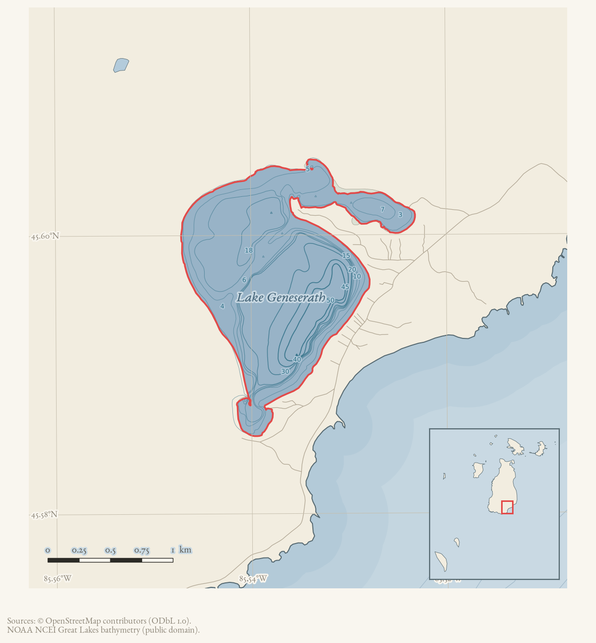
Lake Geneserath is the largest inland lake on Beaver Island, lying near the head (northern part) of the island. Its name is a Strang-era biblical toponym — for the Sea of Gennesaret, i.e. the Sea of Galilee — one of several such names James Jesse Strang’s Latter Day Saint settlers gave to features on the island between 1848 and 1856. A 1912 newspaper account records that the biblical names for the lake, its outlet (the Jordan) and a settlement at its mouth (Galilee) had already fallen out of local use in favor of the plain descriptive “Little lake.” The older names survived, it says, “only [on] the old maps.” That is exactly where “Lake Geneserath” survives today, as the official GNIS name.
History
Strang’s settlers renamed this lake for the Sea of Gennesaret as part of a broader programme of biblical place-naming on the island, paralleling Donegal Bay’s former name, Mount Pisgah Bay, and the Jordan River, the lake’s outlet. A 1912 feature in the Rock Island Argus — reporting on the island fifty-six years after Strang’s assassination — describes the lake, “the largest Inland lake,” at the head of the island: “They call it Little lake to distinguish it from Lake Michigan. But the Mormons called it Lake Gennesaret. Its outlet they called the Jordan and a little settlement which they made at its mouth they called Galilee. All that has disappeared and only the old maps retain the names. Today but three families live at the head.”1 The account is evidence that within a single generation the Strang-era toponyms had become historical curiosities to residents rather than living names, even as they persisted, and still persist, in the official cartographic record.
Elizabeth Whitney Williams’ 1905 memoir lists “Lakes Genessarett, Fox Lake, Green Lake” among six inland lakes near the head of the island, distinct from Font Lake near the harbor, which she identifies as the site of Mormon baptisms and yearly feasts.2 No source read places baptisms specifically at Lake Geneserath; that association belongs to Font Lake and should not be conflated with this lake.
The attempted water-power channel
Lake Geneserath’s elevation above Lake Michigan made it the reservoir for an unfinished Strang-era engineering project. In 1854 Strang wrote that the lake’s outlet, which he called the Jordan, fell twenty-six feet in one mile. He proposed turning it into a new channel so the fall could be concentrated at one point as water power in Galilee.3 The following October, the Northern Islander reported that Samuel Wright’s third mill was under construction at Galilee, but unexpected difficulty “excavating the race” would prevent it from operating until late the next summer.4 The surrounding report identifies the other mills as sawmills and treats a newly arrived portable gristmill as a separate project.
A 1978 Beaver Island Historical Society map labels an excavation near the lake’s southern/eastern arm “Mormon Canal (partially completed).”5 That later name is now documented separately at Mormon Canal. The contemporary sources support a proposed water-power diversion and an attempted millrace; they do not establish completion, navigation, locks, or use of Lake Geneserath as a sheltered winter harbor.
A 2017 forum discussion preserves the competing safe-harbor story, but also a mill-power tradition and a separate recollection about improving Cable’s Creek for boat entry.6 The version in which workers discovered the elevation difference only after digging conflicts with Strang’s own 1854 statement that the lake stood twenty-six feet above Lake Michigan and that the fall was the project’s advantage. The lake article therefore records the harbor story as later oral tradition, not as the documented original purpose.
The Saint James-Galilee road axis
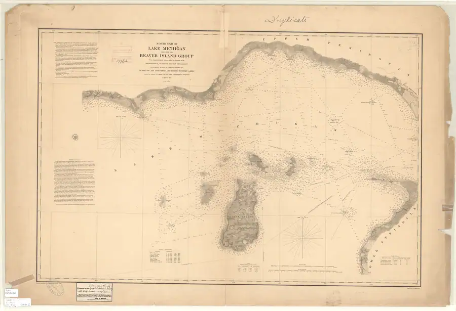
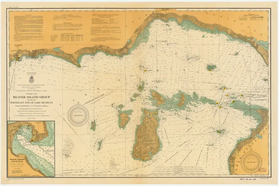
Strang’s own 1854 gazetteer calls this water body Lake Galilee and places it behind the new village of Galilee. In the same description he says that one of the island’s two principal roads had been opened from Saint James “due South to Galilee,” with long farms abutting the roads.7 The contemporary 1855 Lake Survey chart does not label that road, but it depicts an approximately north-south inland corridor and farm-like rectangular clearings, including a linear trace north of the lake’s northeastern vicinity.8 The 1907 chart renders the same broad axis more clearly but leaves a substantial blank between the northern road and the separate lake-side segment; its authorities panel indicates that the inland topography principally derives from 1854-55 work.9
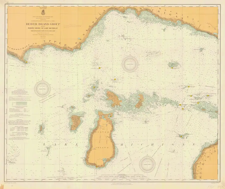
The 1911 chart is stronger identification evidence because it explicitly labels the northern road “Kings Highway.” It also clearly retains the break and the separate segment rising from the lake. A working measurement against its printed latitude graticule puts that blank interval at about 1.9 miles (3.1 km), although this is not a surveyed distance or a formal georeference.10 The maps therefore confirm a common broad axis, not one continuously drawn highway from Saint James to the shore.
Wet ground is a credible setting for the interruption: modern National Wetlands Inventory data map forested and shrub wetland through much of the comparable corridor, and later sources describe a cedar-swamp road and then an old road or trail.1112 No inspected source, however, says swamp caused this specific break. The road may instead have been unfinished, seasonal, abandoned, reduced to an unmapped trail, or omitted by the chart compiler.
The sources do not support a perfect modern overlay. In 1959-60, the Beaver Beacon described an “old road” or trail south of Fox Lake Corners to the north end of Lake Geneserath, while the current road carrying the King’s Highway name ends around Hannigan Road, roughly 6.0 km north of the held lake polygon.12 This suggests survival and reuse of pieces of the older north-south corridor, not an uninterrupted named highway to the shore.
Geography
Lake Geneserath is described in the 2023 Beaver Island Master Plan as the island’s
largest inland lake, a high-quality mesotrophic lake reaching depths of 55 feet and
supporting a walleye fishery; the Master Plan also notes at least one study linking
an increase in the lake’s trophic status to a warming climate and increased
residential development around its shore. The Master Plan is a modern secondary
source, held at probable confidence for the specific ecological claims, cited for present-day
physical description rather than for the historical naming record above. A February
2024 Northern Islander community report of a July 2023 MDNR survey also records a
mixed fish community and multiple walleye year classes. Because the underlying state
report is not held, that account remains a newspaper-mediated summary rather than a
directly inspected state dataset. A 1976 county inventory printed in the
Charlevoix Courier gives 440 acres, a historical size reference rather than a
substitute for a current survey.
A LakeHomes listing for a Cable Bay property says Pat’s Road leads to Lake Geneserath. This is useful evidence for a route-to-lake setting, but it does not establish a surveyed access point, public right-of-way, or current access guarantee.
Names
Lake Geneserath is a direct biblical toponym from Strang’s settlement era (the Sea
of Gennesaret/Galilee). GNIS carries “Geneserath Lake” as a variant word-order
form, and “Gennesareth L.” (Farmer 1853) and “Lake Gennesaret” (a 1912 account)
are earlier spellings of that same name, recorded here as alt_names. Strang
himself used a different word entirely: his own 1854 gazetteer calls the lake
Lake Galilee, not Geneserath or Gennesaret, so that name is recorded as a
former_names entry — a name the record shows was replaced, not a spelling of
the current one. The 1912 newspaper account is the clearest evidence held that
the Gennesaret/Geneserath name was, even by then, a surviving cartographic
artifact of Strang’s kingdom rather than a name in everyday local use —
islanders of the time called it simply “Little lake.”
Significance
Together with the Jordan River and the former Mount Pisgah Bay, Lake Geneserath is part of the physical trace Strang’s settlement-era theocratic renaming programme (1847–1856) left on the modern map — a distribution of names that still maps the kingdom’s extent even where the settlements themselves, like Galilee at the lake’s mouth, have vanished entirely.
Dated aquatic and bird evidence
The MNFI 1999 progress report records one Common Loon pair at Lake Geneserath and lists the lake among four Beaver Island inland lakes visited during the aquatic work. The report also visited a Geneserath tributary and Iron Ore Creek, using lake-substrate dredges and visual/SCUBA searches for the lakes and benthic kick-net sampling for representative streams and seeps. It does not provide a complete loon census, aquatic inventory, or lake-wide substrate description for Geneserath.
The named-place crosswalk gives Lake Geneserath a working polygon area of 1.992681 km². SSURGO, NWI, geology, and circa-1800 overlays identify water and shoreline map context including lacustrine sand/gravel, dune sand, lake, forested/shrub, emergent, and riverine classes, plus reconstructed beech–sugar maple–hemlock and black-ash-swamp context. These are regional map joins and should not be read as current lake condition, uniform shoreline vegetation, or a legal boundary.
A trail that is easy to wander onto
South of the MASH sign the 1986 USGS quadrangle draws a dashed trail running south for about a mile, and it is still walkable. It is on no current sheet, carries no name in any source held here, and is described at The unnamed trail west of Lake Geneserath.
The hazard is that nothing marks where the maintained network stops. A walked track of 16 August 2026 followed that old line for nine-tenths of a mile at a median 8 m from the mapped symbol, at ordinary walking pace, without recording a junction — and then lost the tread entirely, spending eighteen and a half minutes on 0.23 mile of cover-pushing on dry ground.
If you are heading south from the sign and expecting a maintained trail, this is the thing to know about.
Open questions
- The exact date the name “Lake Geneserath”/“Lake Gennesaret” was first applied by Strang’s settlers is not established from sources held.
- Whether any trace of the “Galilee” settlement at the lake’s outlet survives archaeologically, or whether its location has been identified on modern maps, is not established from sources held.
- Whether the charted line north of the lake is the surveyed 1854 Saint James-Galilee road, and how closely any portion matches the modern King’s Highway centerline, requires control-point georeferencing and land/road records; the chart image alone does not settle it.
- The 1912 newspaper’s claim that “but three families live at the head” of the island at that date has not been cross-checked against any census or township record.
- Whether the surviving trenches identified locally as the Mormon Canal are the same excavation as Samuel Wright’s 1855 race requires archaeological or survey evidence; no precise channel geometry is assigned here.
If you can answer any of these, or correct anything above, the archive wants to hear it — see Corrections.
See also
- Beaver Island
- Jordan River
- Donegal Bay
- Saint James
- King's Highway
- Galilee
- Mormon Canal
- Beaver Island History Map, 1978 revision
- North End of Lake Michigan Including the Beaver Island Group, 1855 Lake Survey chart
- Beaver Island Group nautical chart, 1907
- Beaver Island Group nautical chart, 1911
- Wetland inventory ArcGIS layers for the Beaver Island archipelago
Footnotes
-
“Blessed Beaver Island,” Rock Island Argus, 12 April 1912, p. 11. ↩
-
Williams, A Child of the Sea (1905), pp. 82-83. ↩
-
Strang, Ancient and Modern Michilimackinac (1854), p. 44. ↩
-
Northern Islander, 18 October 1855, local mill report. ↩
-
Beaver Island Historical Society, Beaver Island History Map (1978). ↩
-
“Mormon Canal,” Beaver Island Forum, 24 April–12 May 2017. ↩
-
Strang, Ancient and Modern Michilimackinac (1854), pp. 44-45. ↩
-
U.S. Lake Survey, chart LS10, surveys of 1854-55, full-resolution NOAA scan. ↩
-
NOAA Office of Coast Survey, chart LSMa (1907), held full-resolution image and authorities panel. ↩
-
NOAA Office of Coast Survey, chart LS72 (1911), held full-resolution image and printed latitude graticule. ↩
-
U.S. Fish and Wildlife Service, National Wetlands Inventory, held Beaver Island-region extract retrieved 2026-07-29. ↩
-
Beaver Beacon, December 1959 and December 1960; current-distance comparison from held OSM road and water geometries. ↩ ↩2
Maps for this place
These Atlas plates provide regional context. They do not establish a precise boundary, current ownership, access right, operating status, or field condition.
- EnvironmentSoils, wetlands, hydrography, and terrain
- GeologyGeneralized geology and landforms
- HydrologyMapped water and wetland context
- AccessMapped routes, facilities, and protected areas
- Land surveyPLSS geometry and historic GLO patent-location context
The dated record
The name, as attested
- Lake Galileeattested 1854
- Lake Geneserath
- 1853
Gennesareth L.variant
Farmer, Map of the State of Michigan (1853), engraves "Gennesareth L." among the Strangite toponyms (scan held, data/maps/rumsey/farmer_1853_michigan/); retained in the 1866 edition a decade after the kingdom fell.
- 1854
Lake Galileesuperseded
James J. Strang, *Ancient and Modern Michilimackinac* (1854), pp. 44-45, calls this water body "Lake Galilee" and places it behind the village of Galilee — a different name from "Geneserath"/"Gennesareth," not a spelling of it, and the name Strang himself actually used.
- 1912
Lake Gennesaretvariant
A 1912 newspaper account: "the Mormons called it Lake Gennesaret," while islanders said simply "Little lake." Note Strang himself wrote "Galilee" — he never used the modern GNIS form.
- n.d.
Lake Geneserathcurrent
Current GNIS official form — a later standardization not used by Strang; searches of Strang-era sources must use Galilee/Gennesaret forms.
Read the document
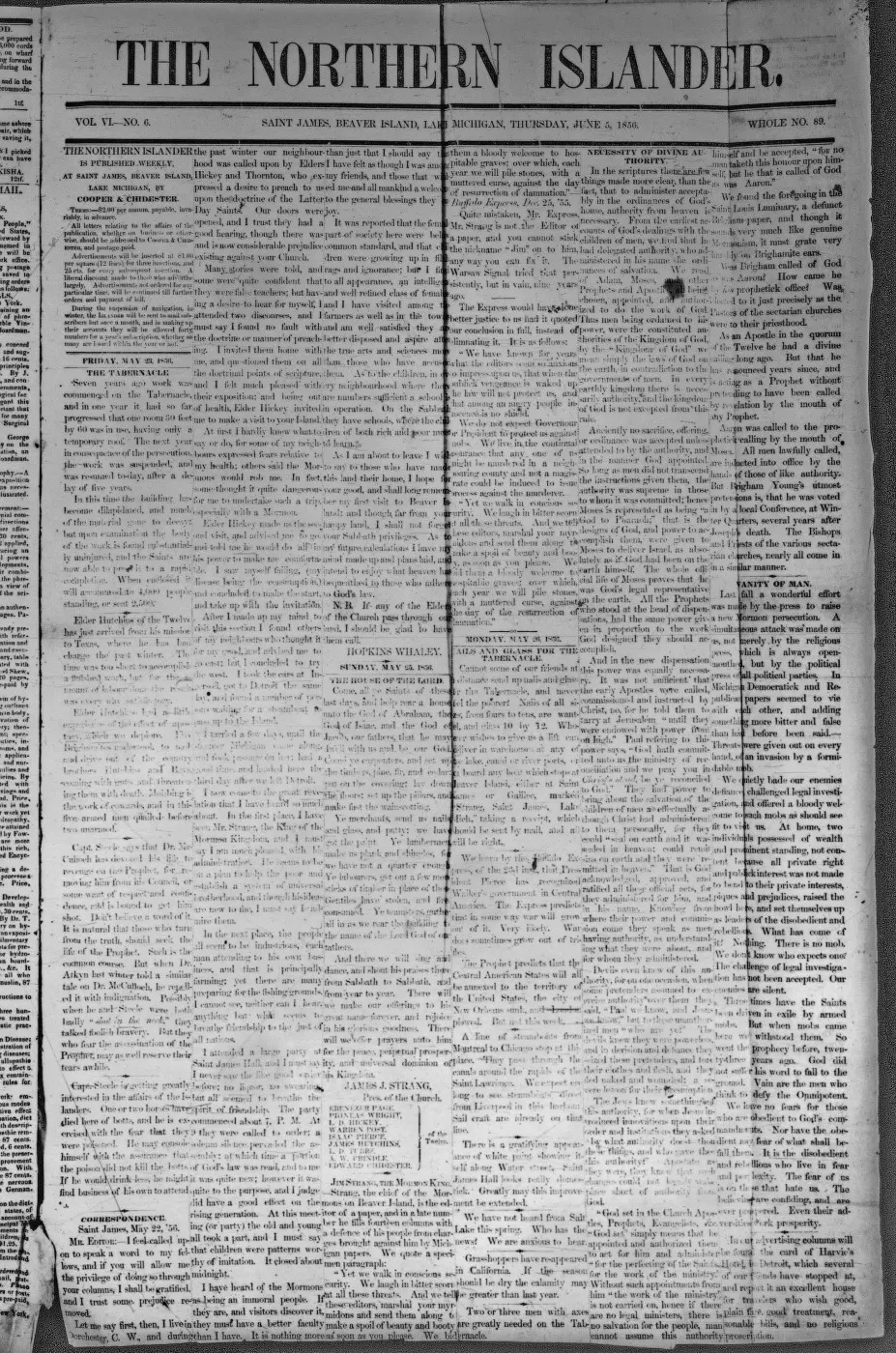
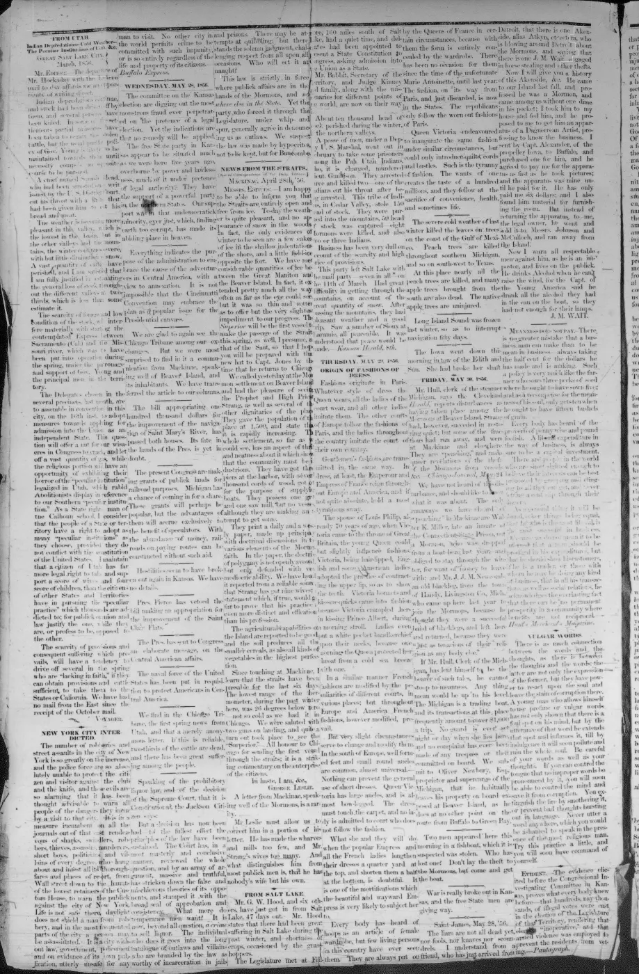
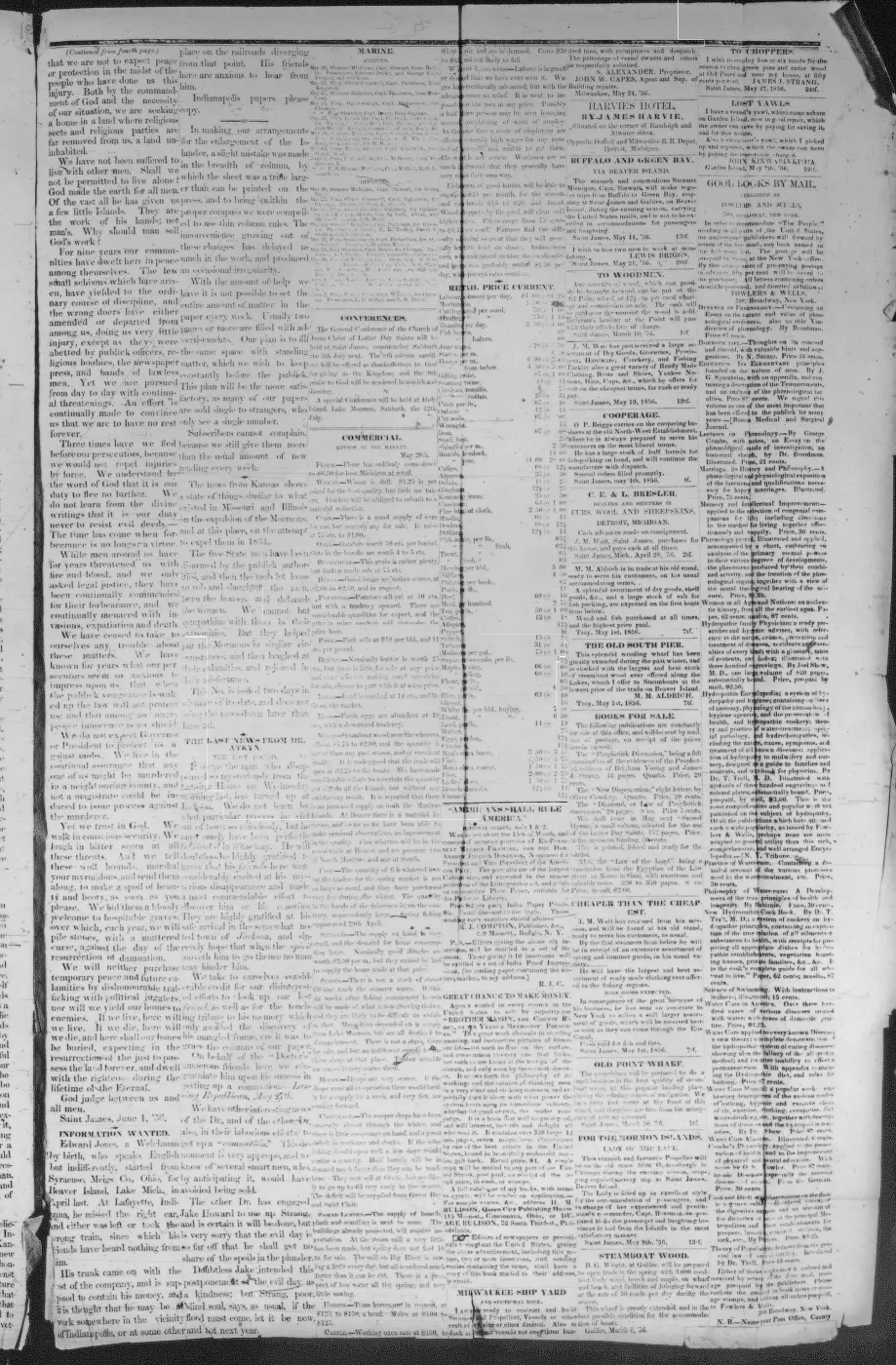
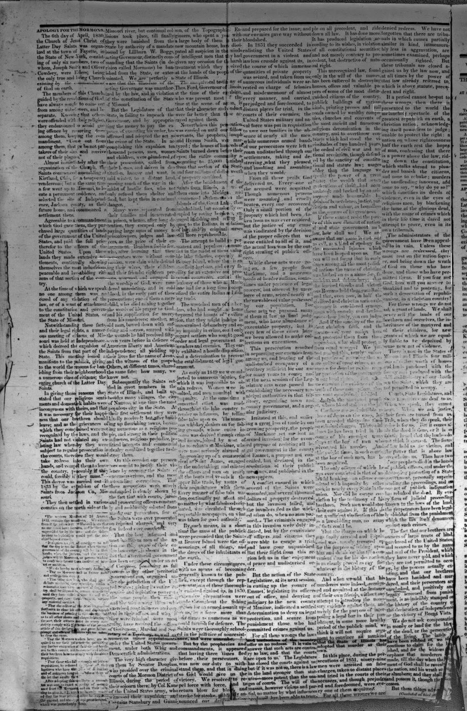
290 pages, rendered from the held scan.
Jump to a page — 290 in all
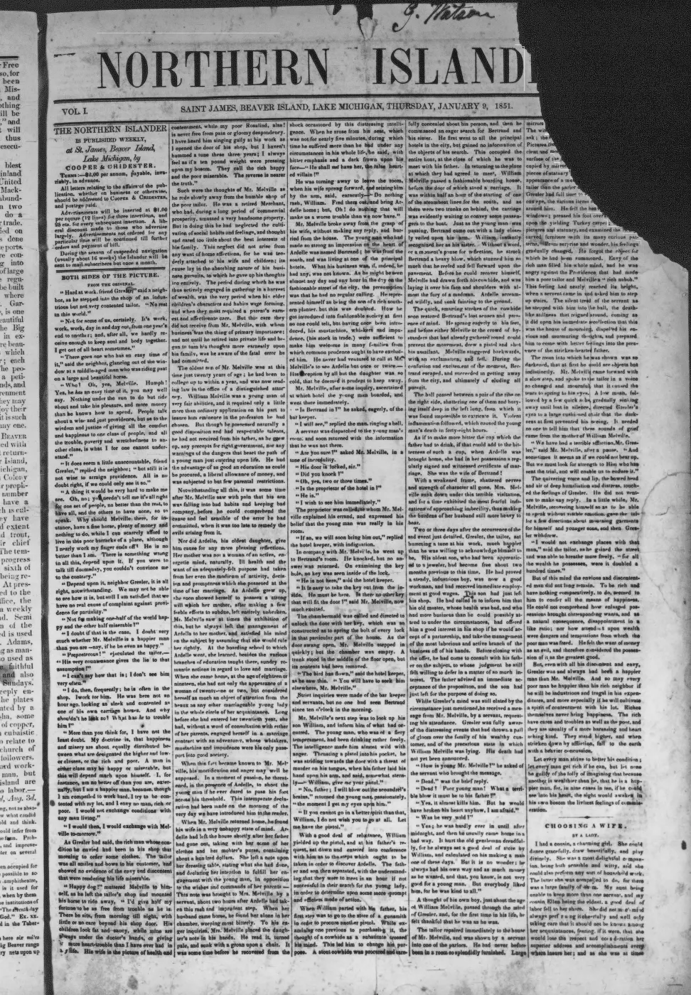
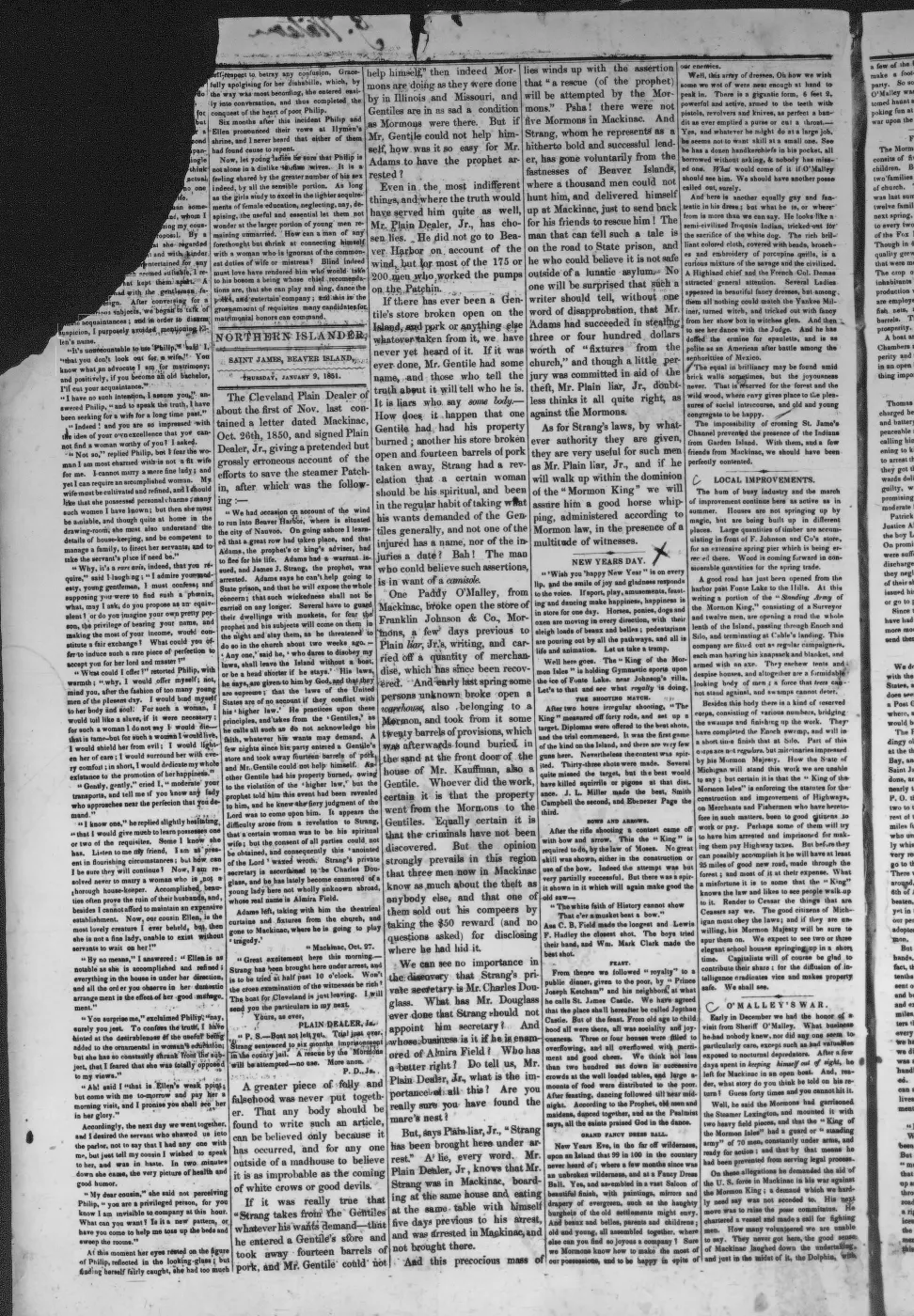
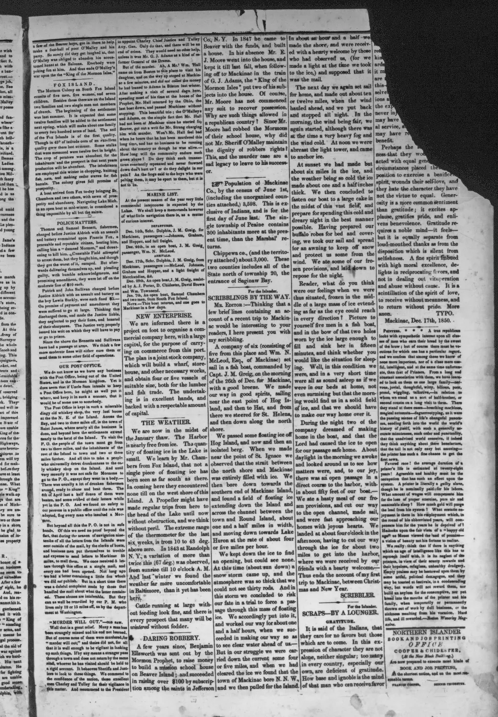

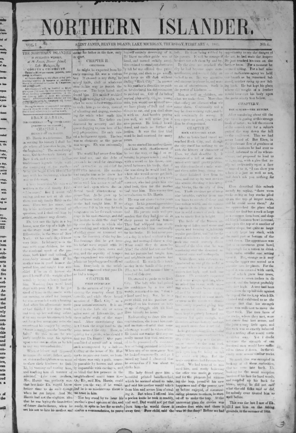
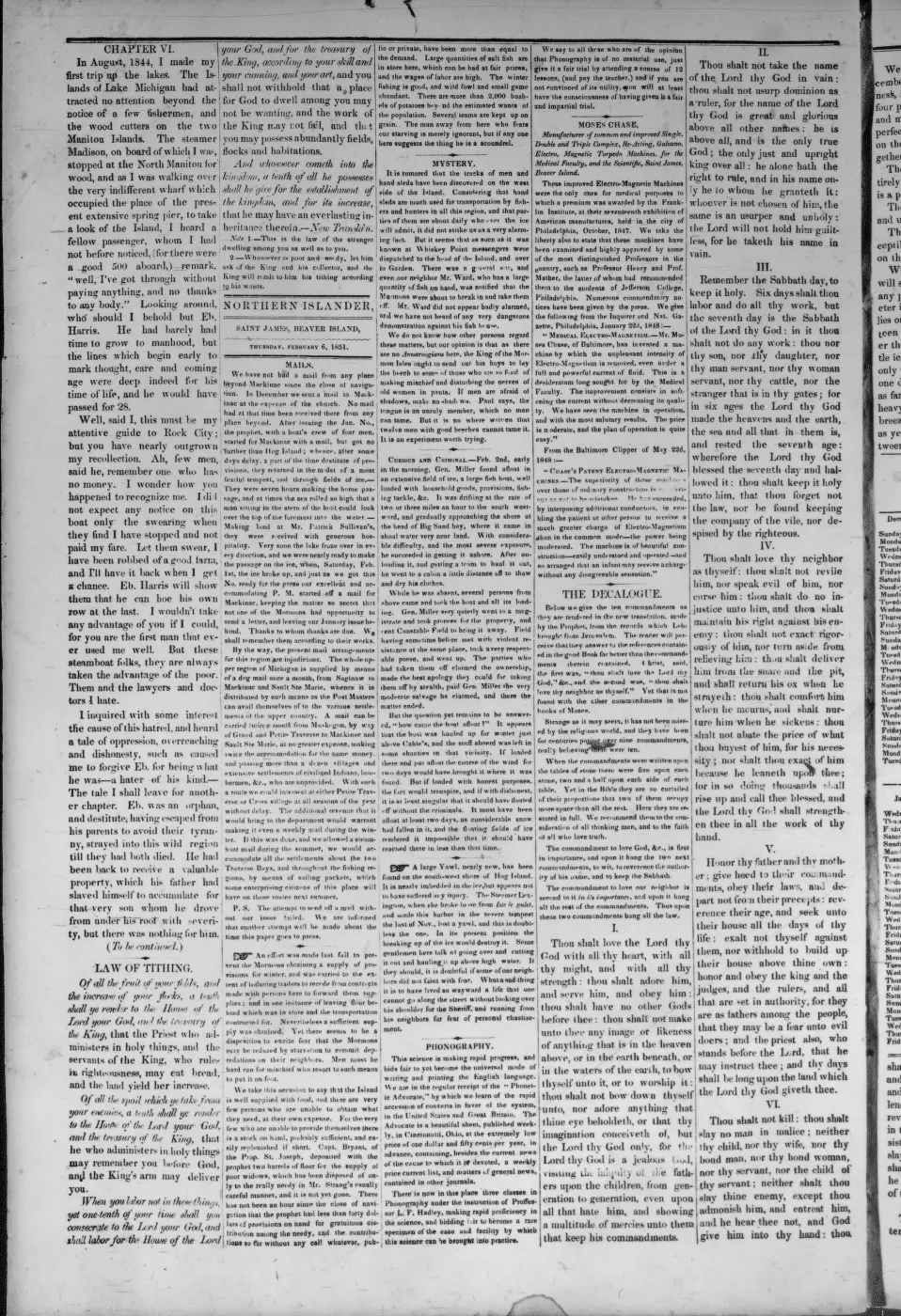
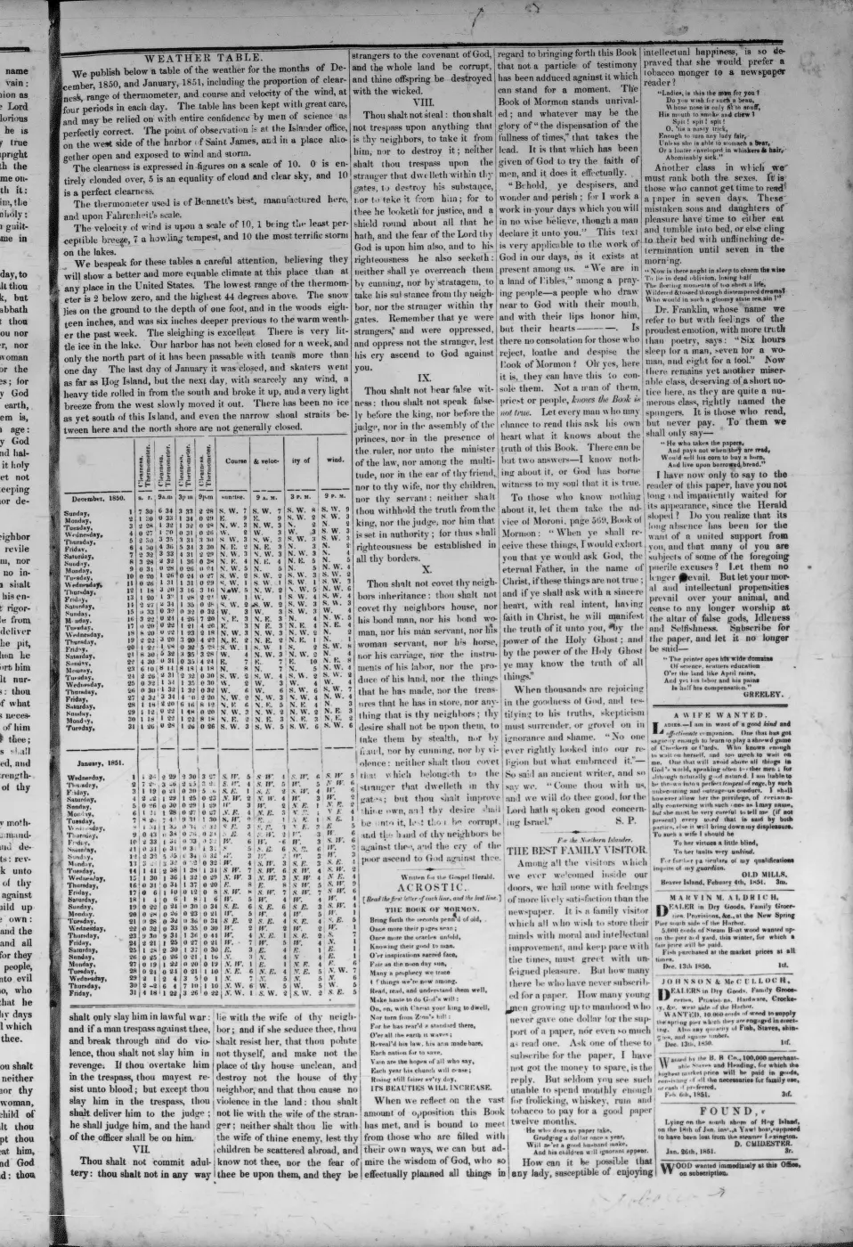
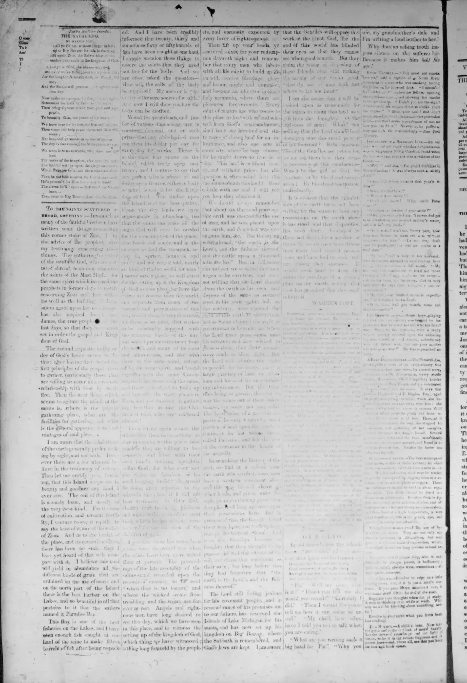
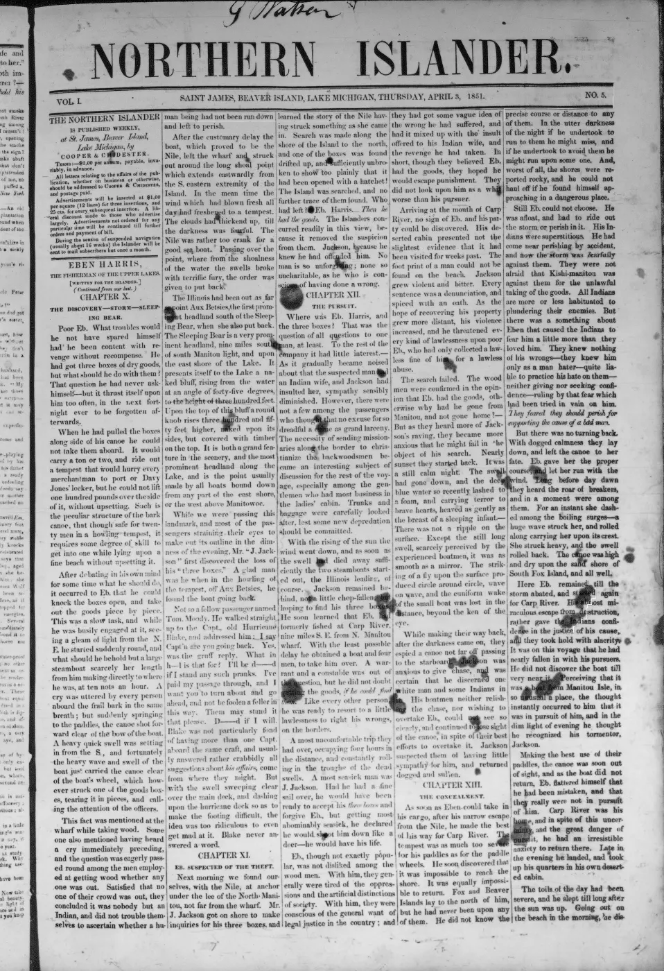
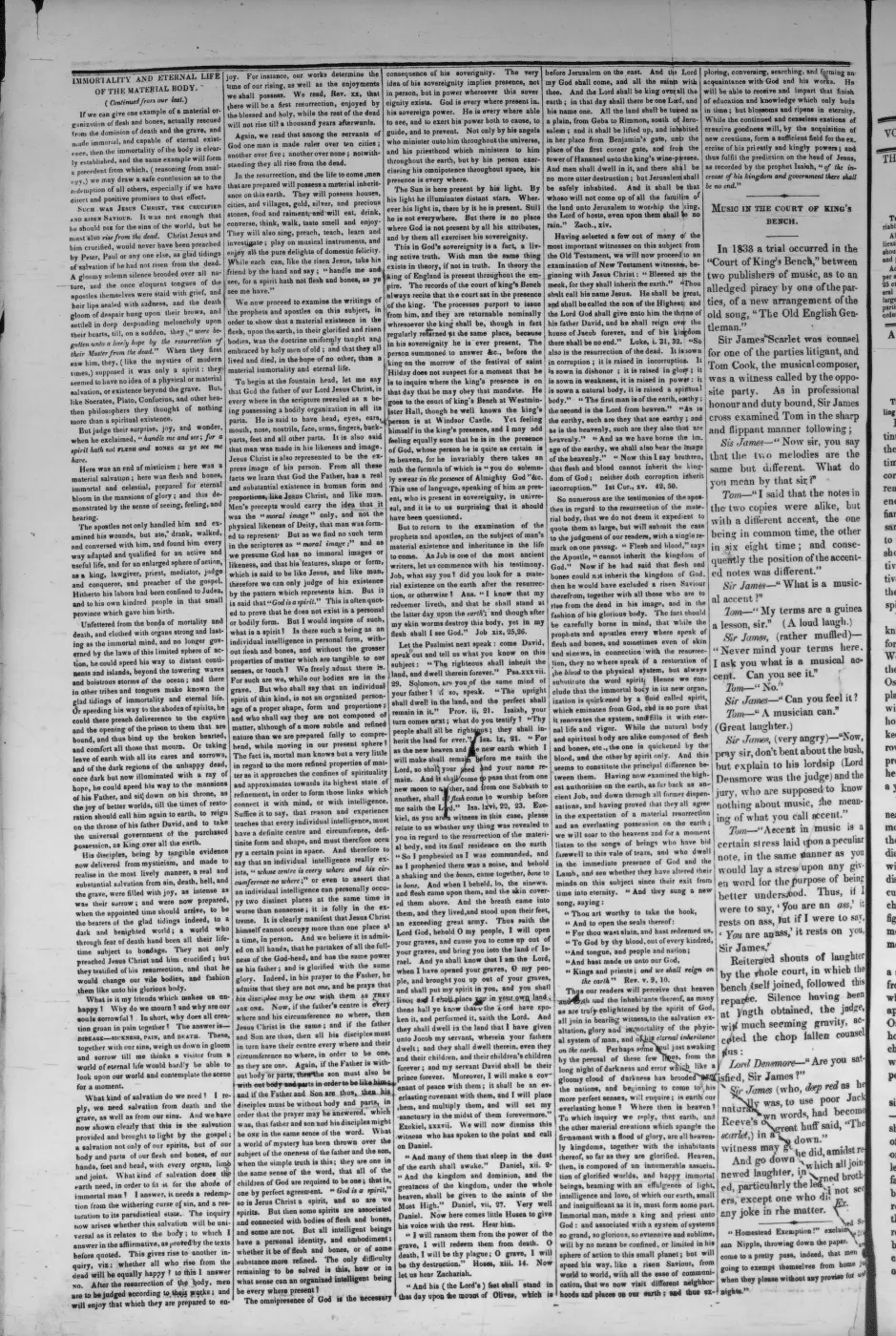
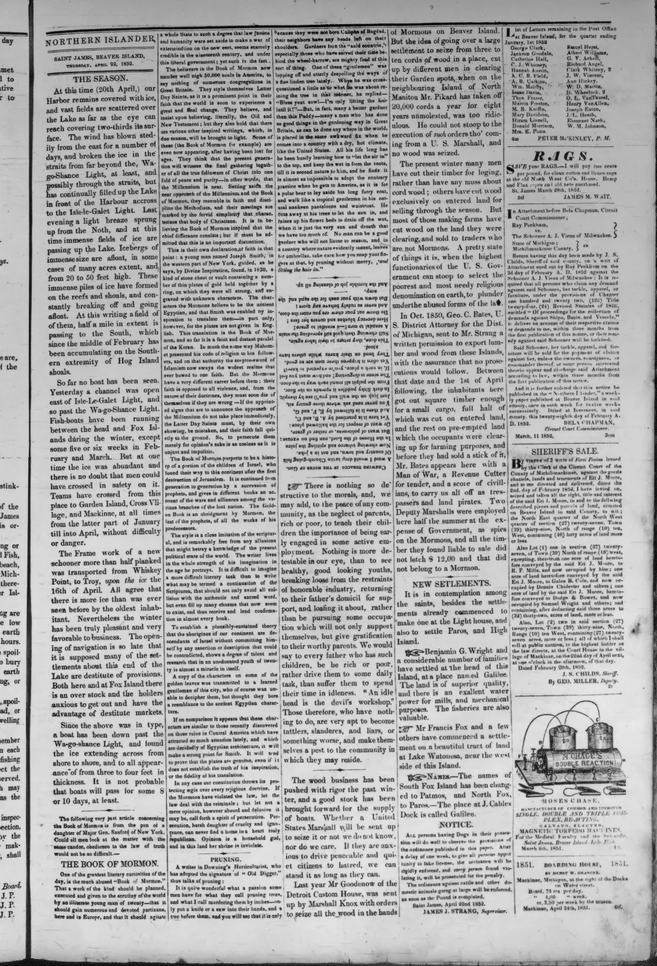
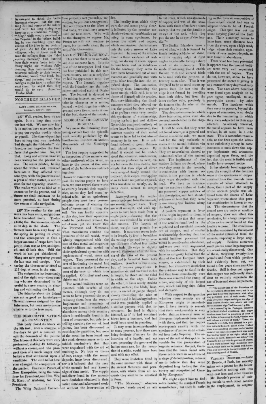
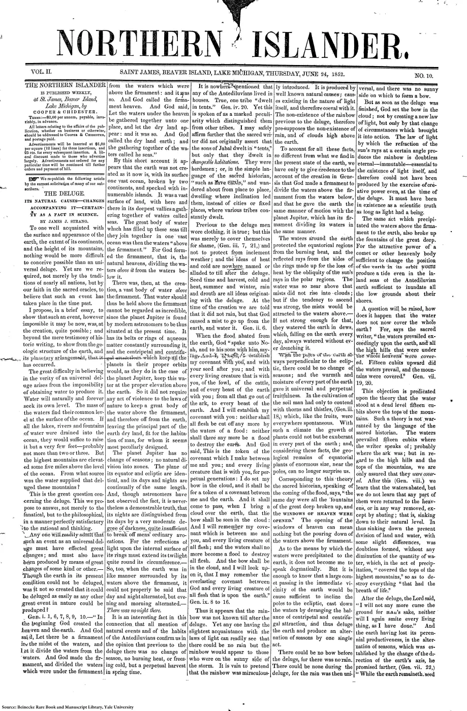
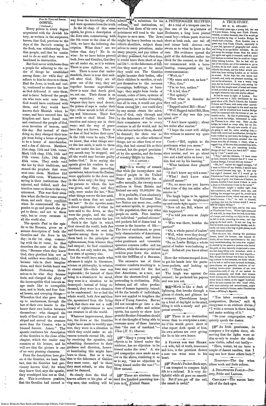
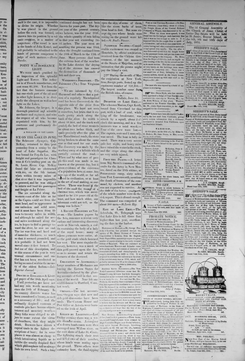
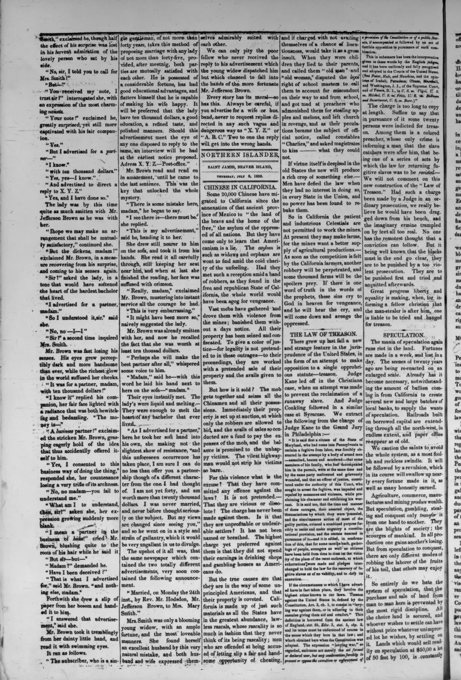
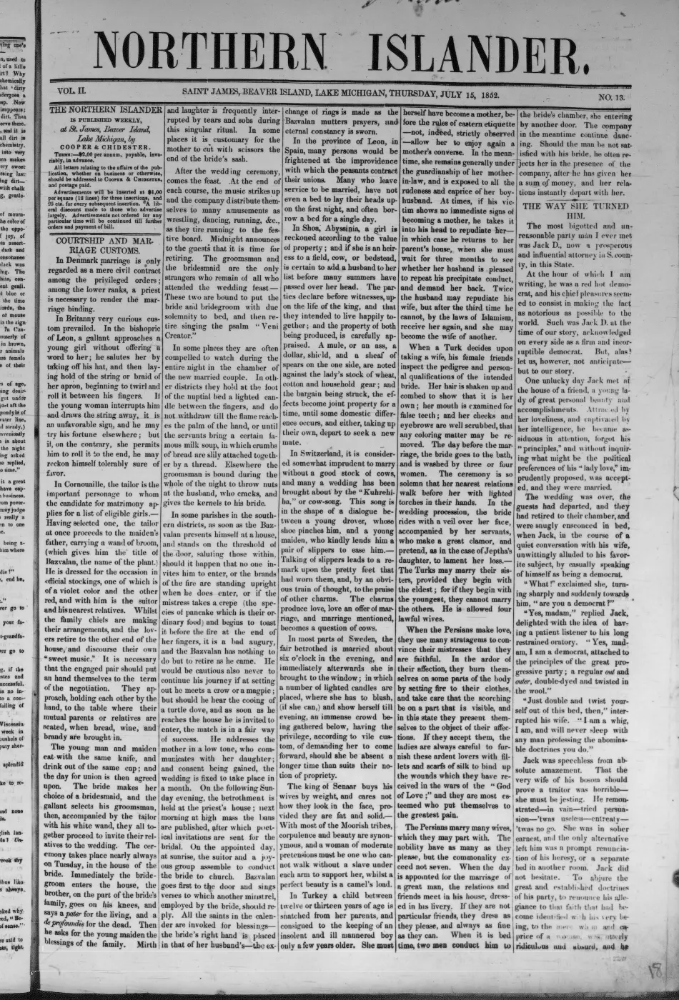
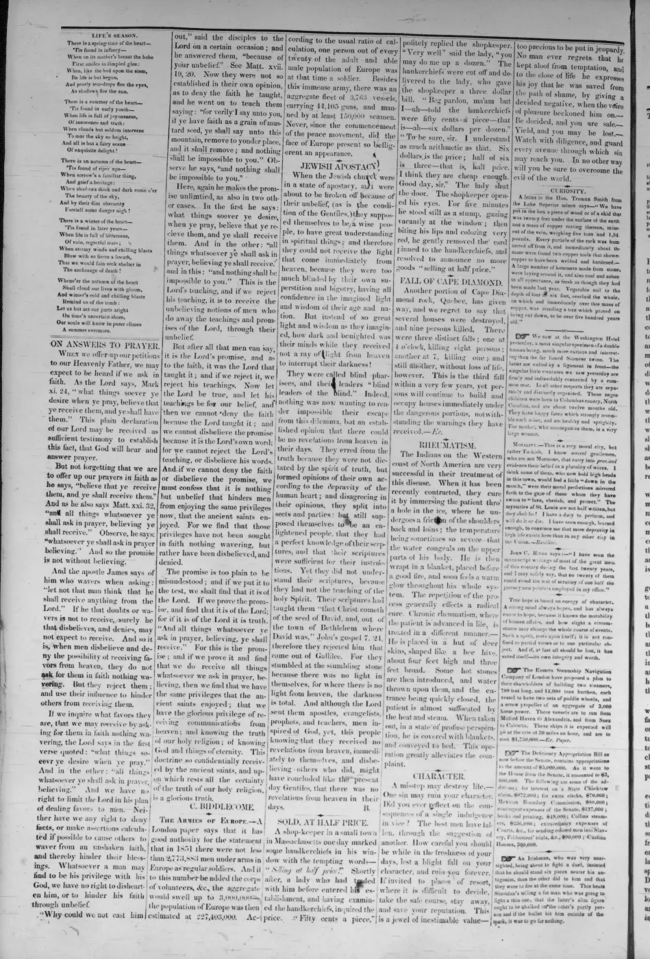
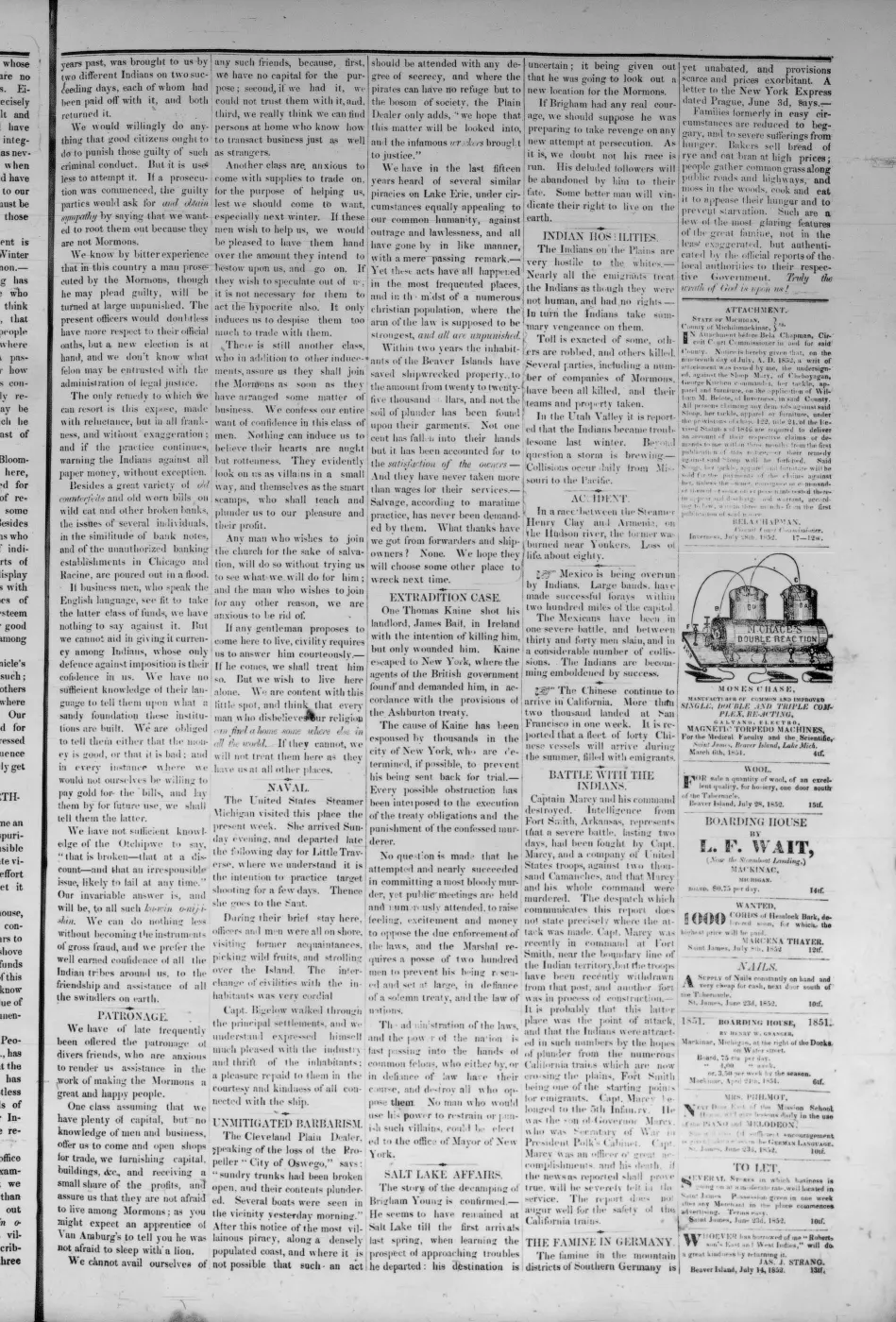
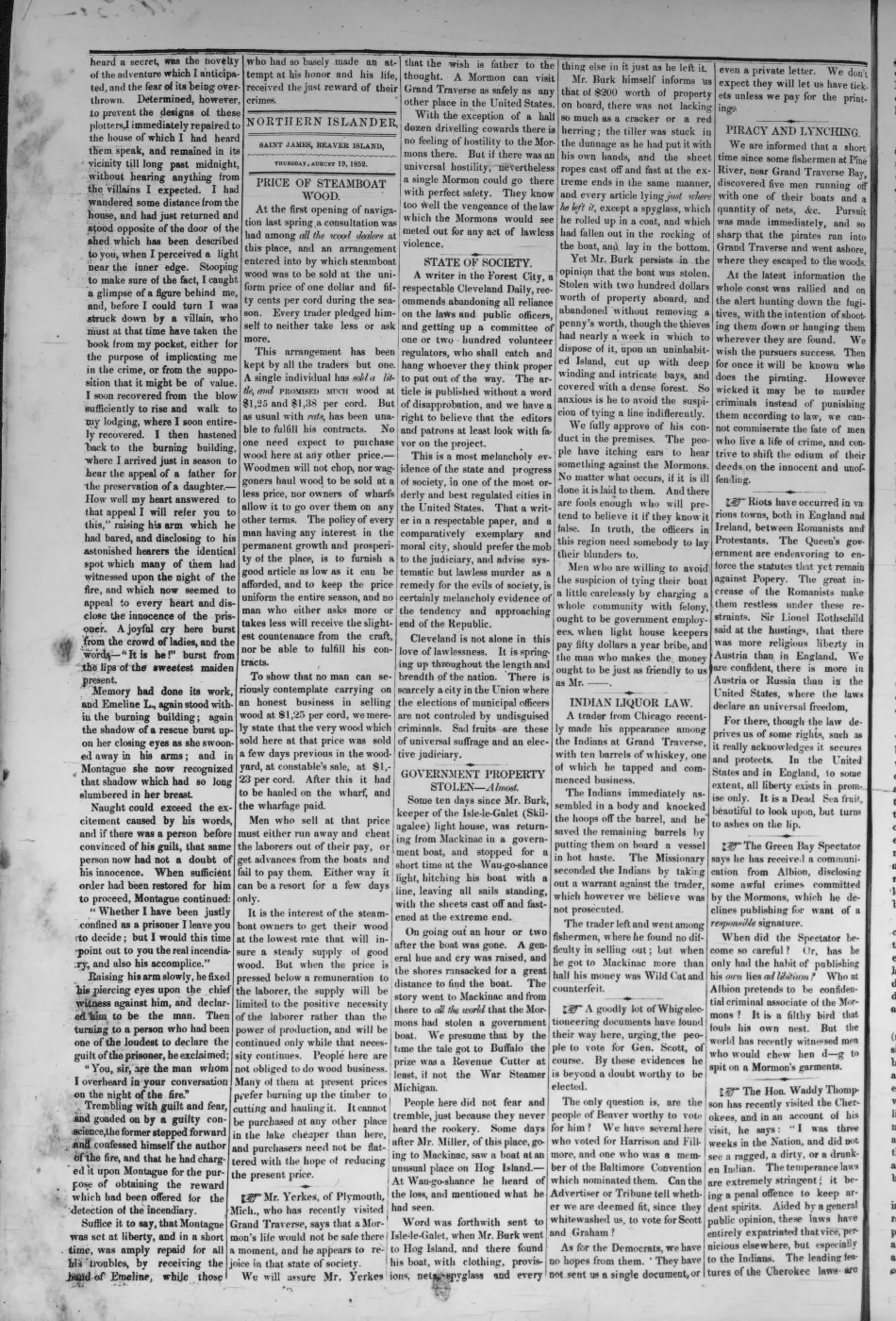
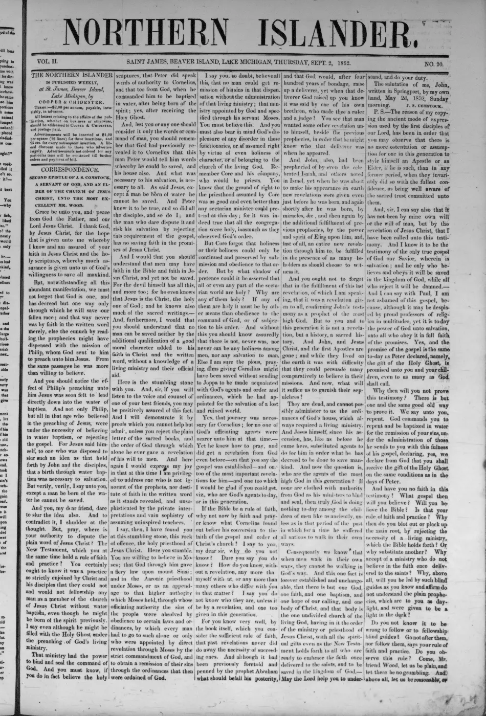
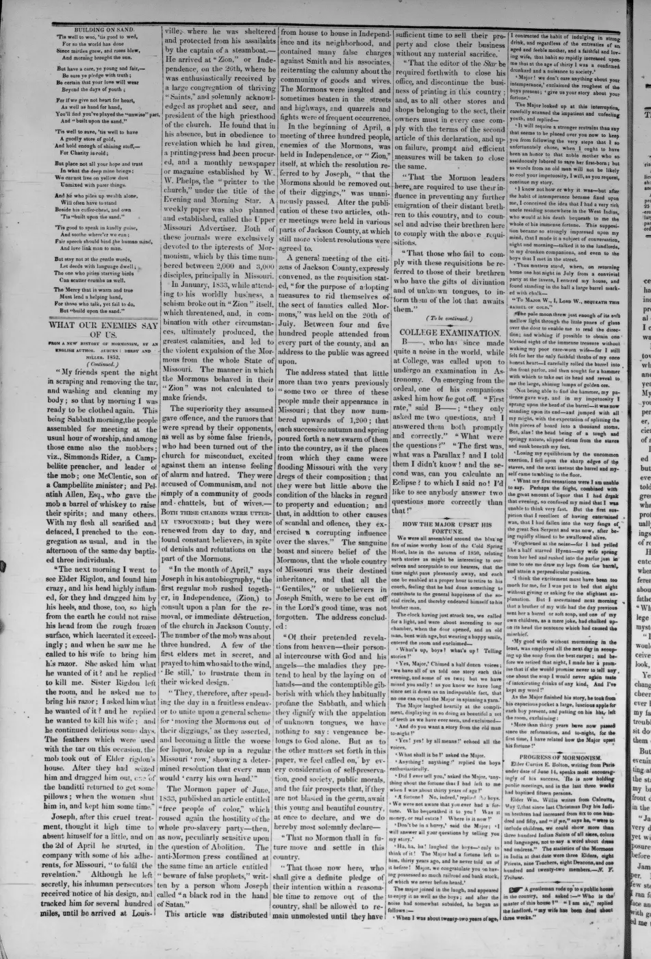
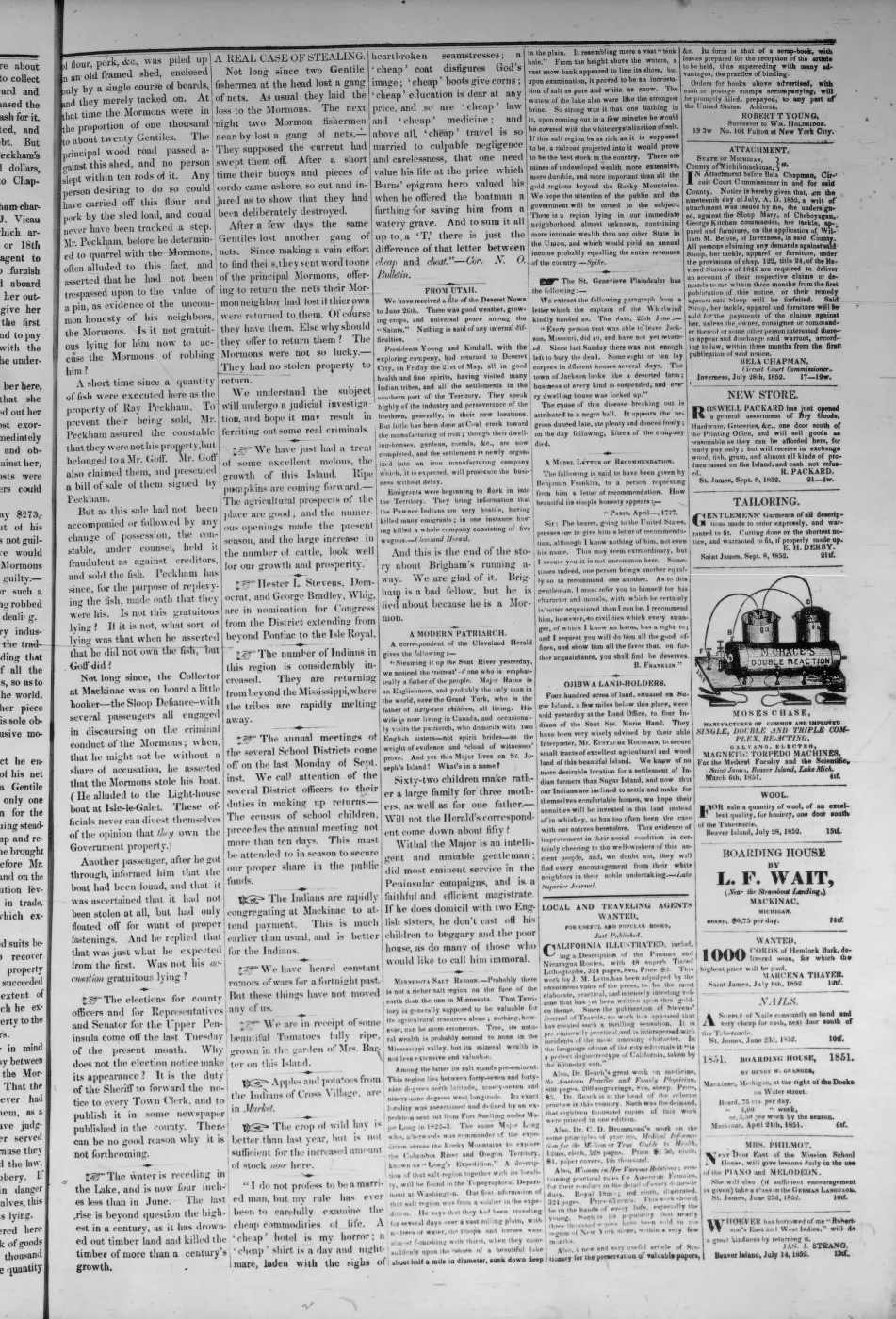
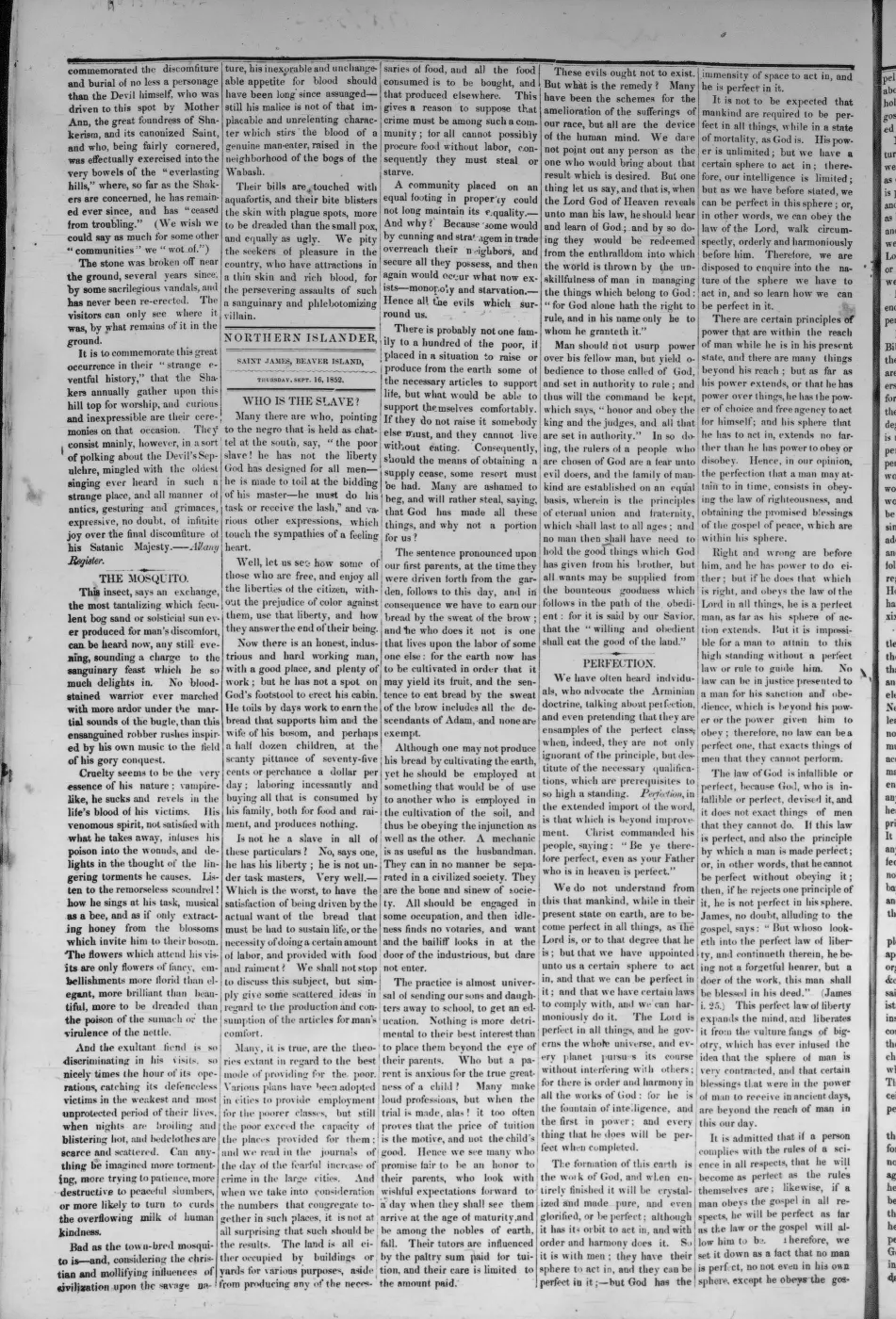
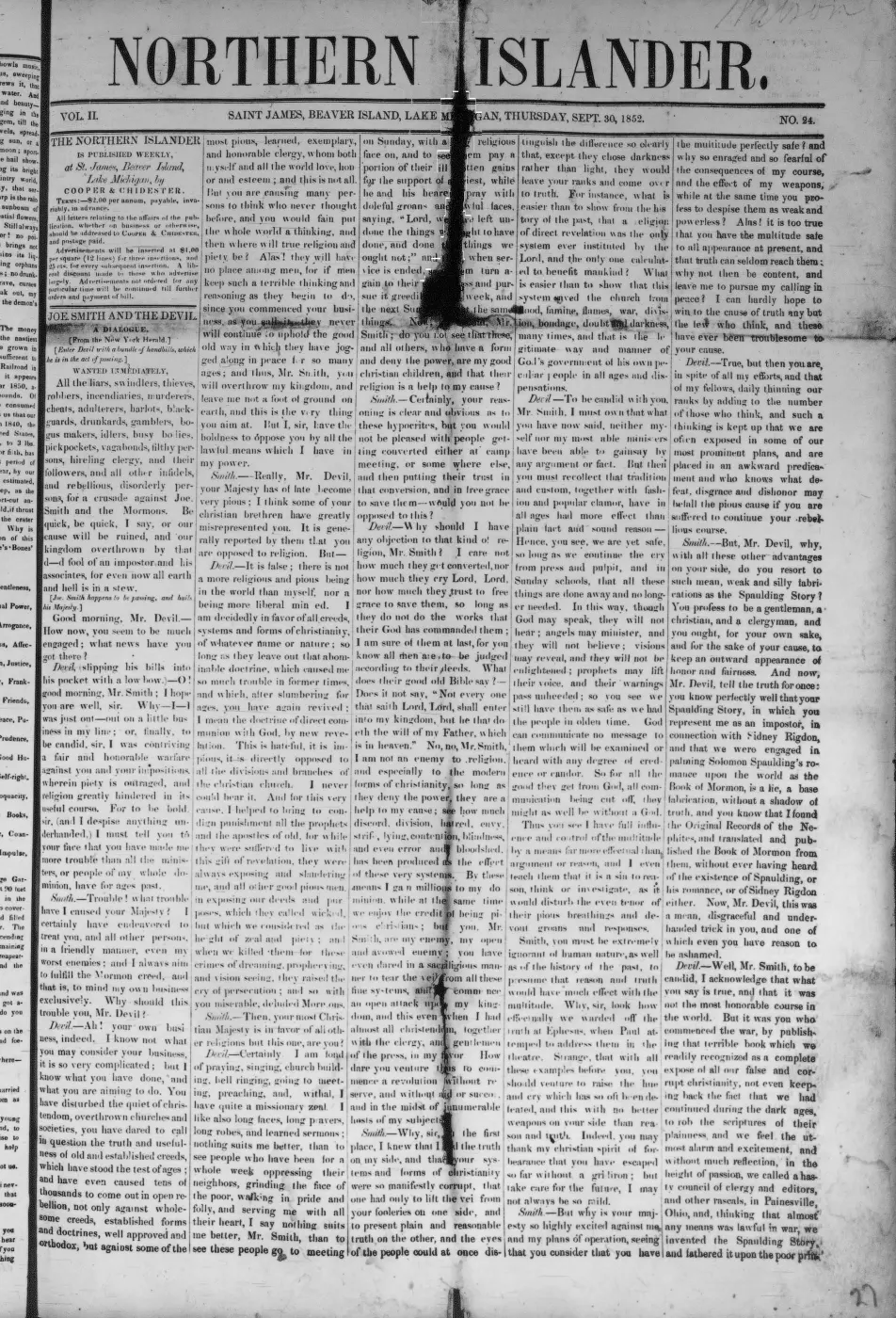
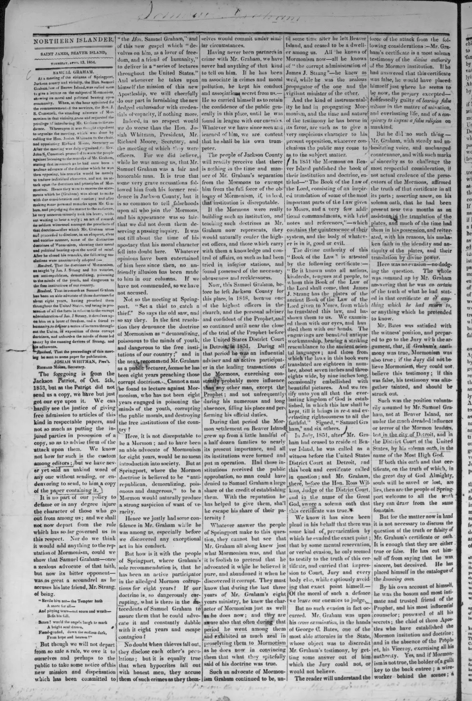
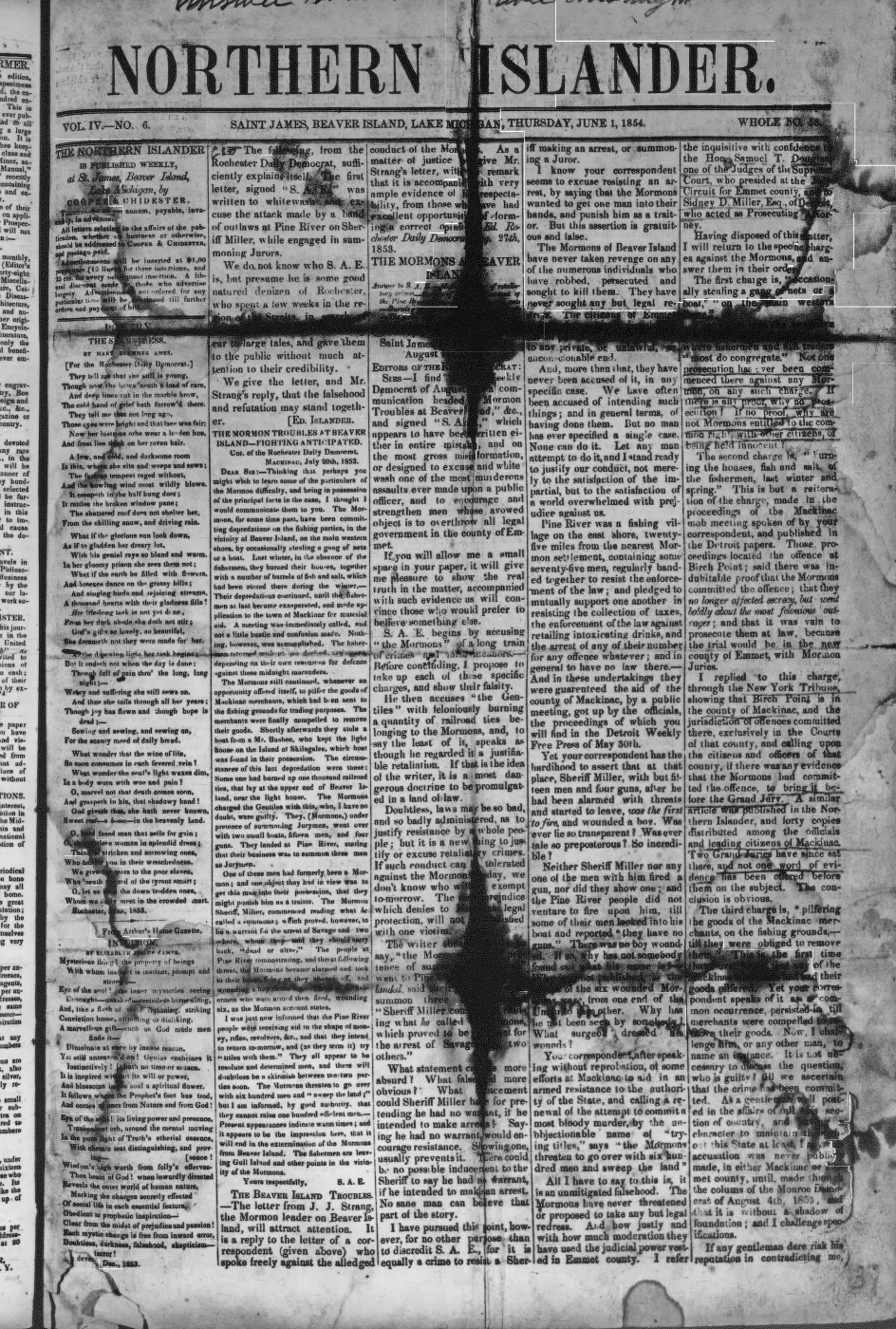
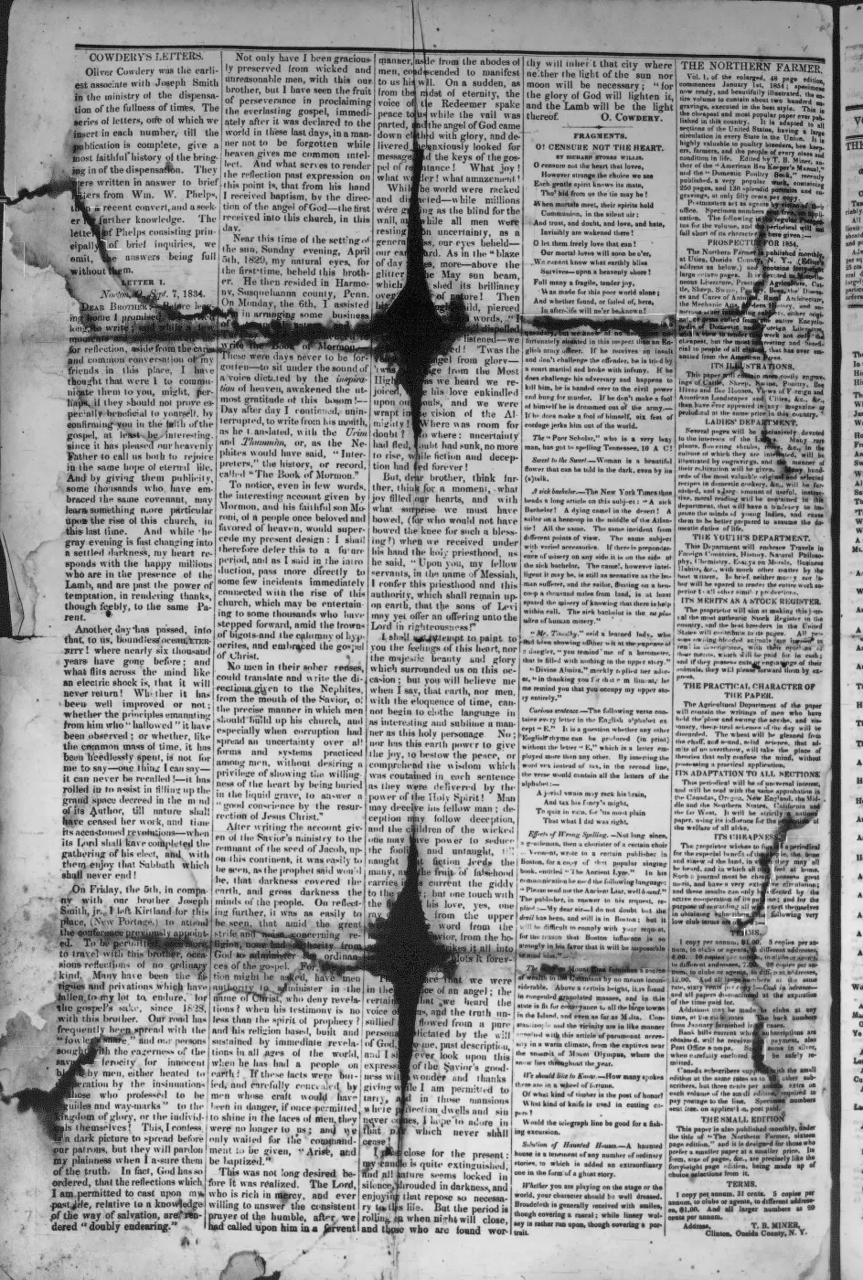
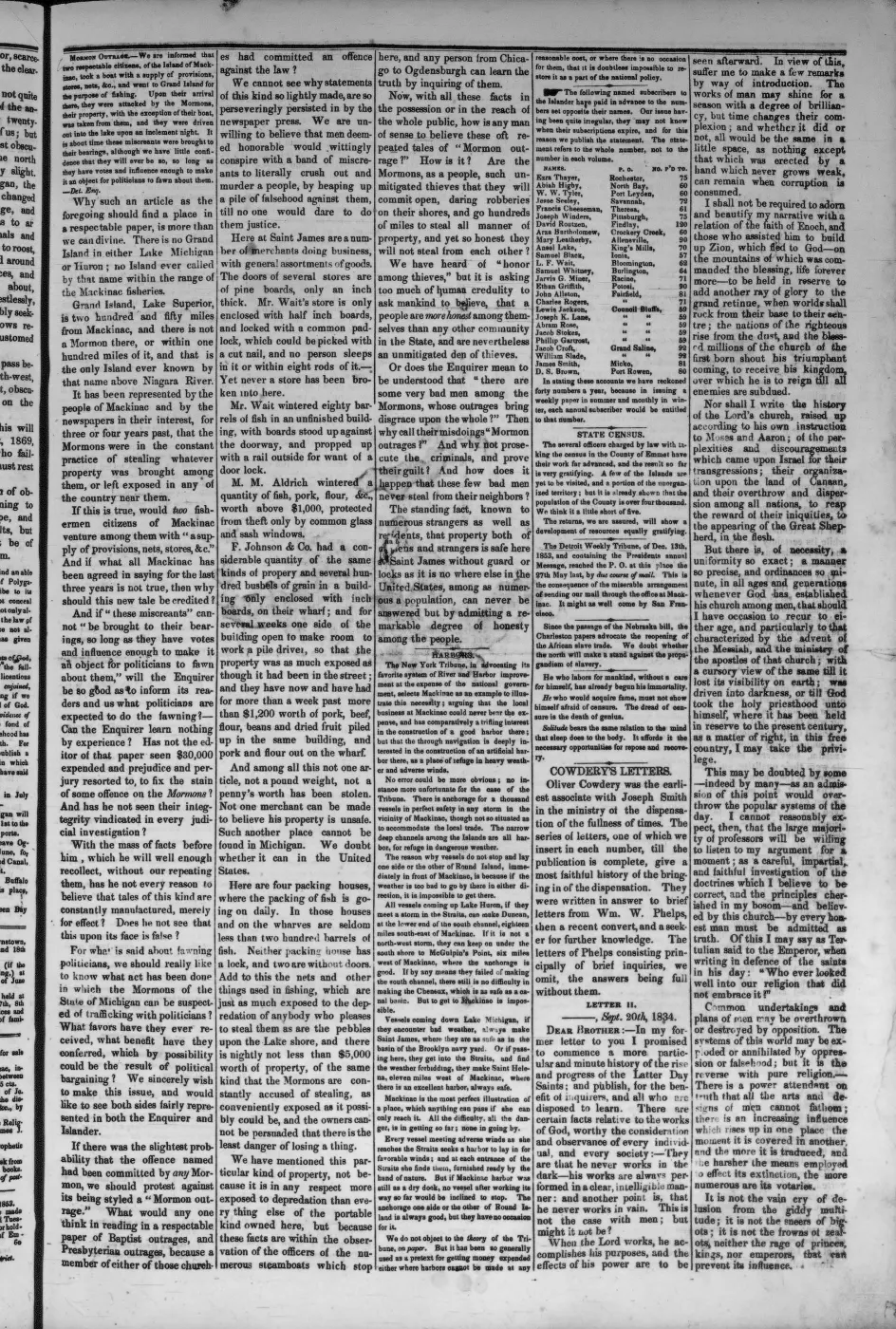
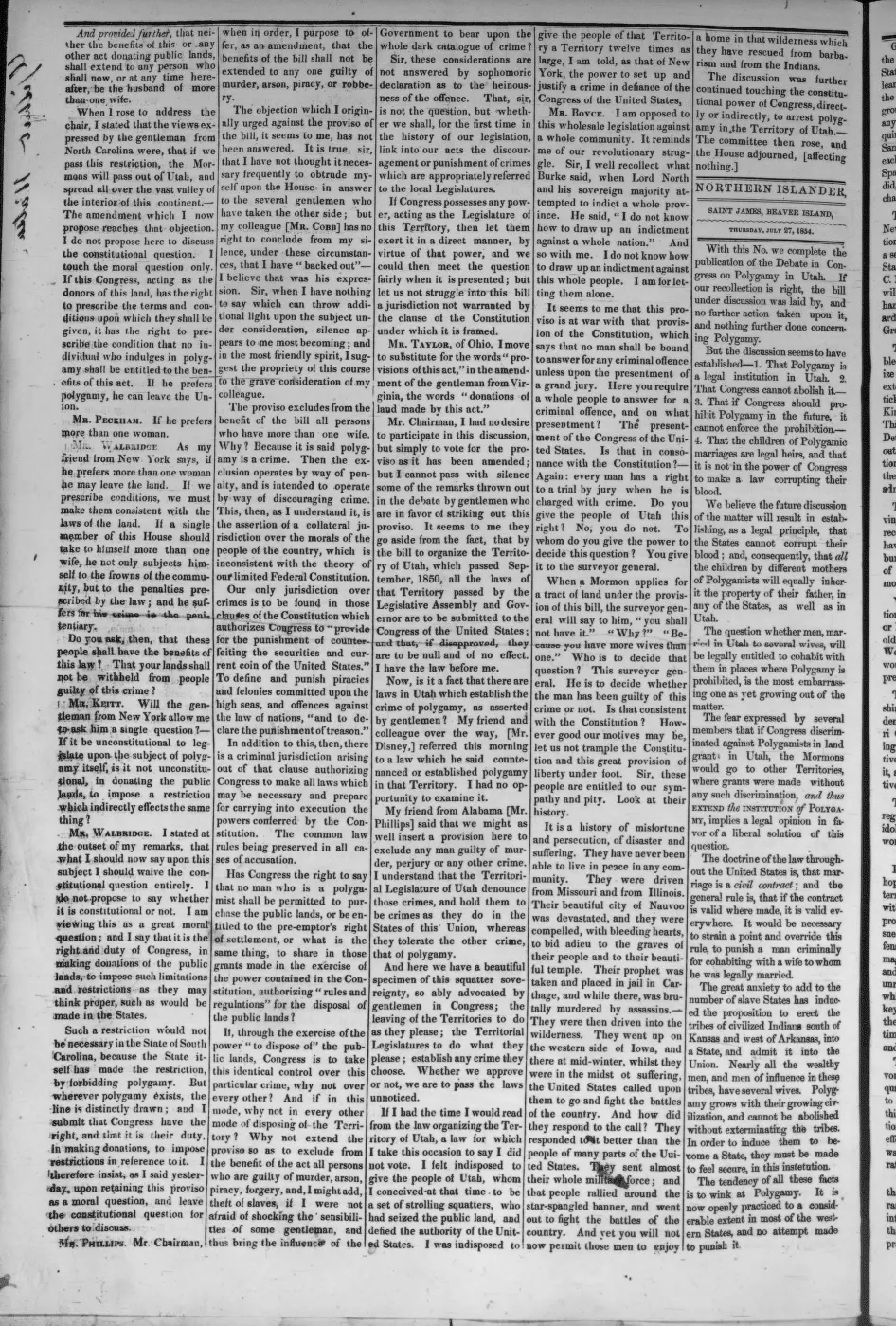
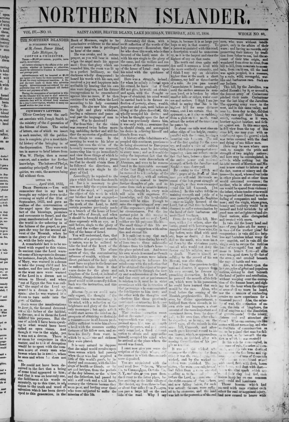
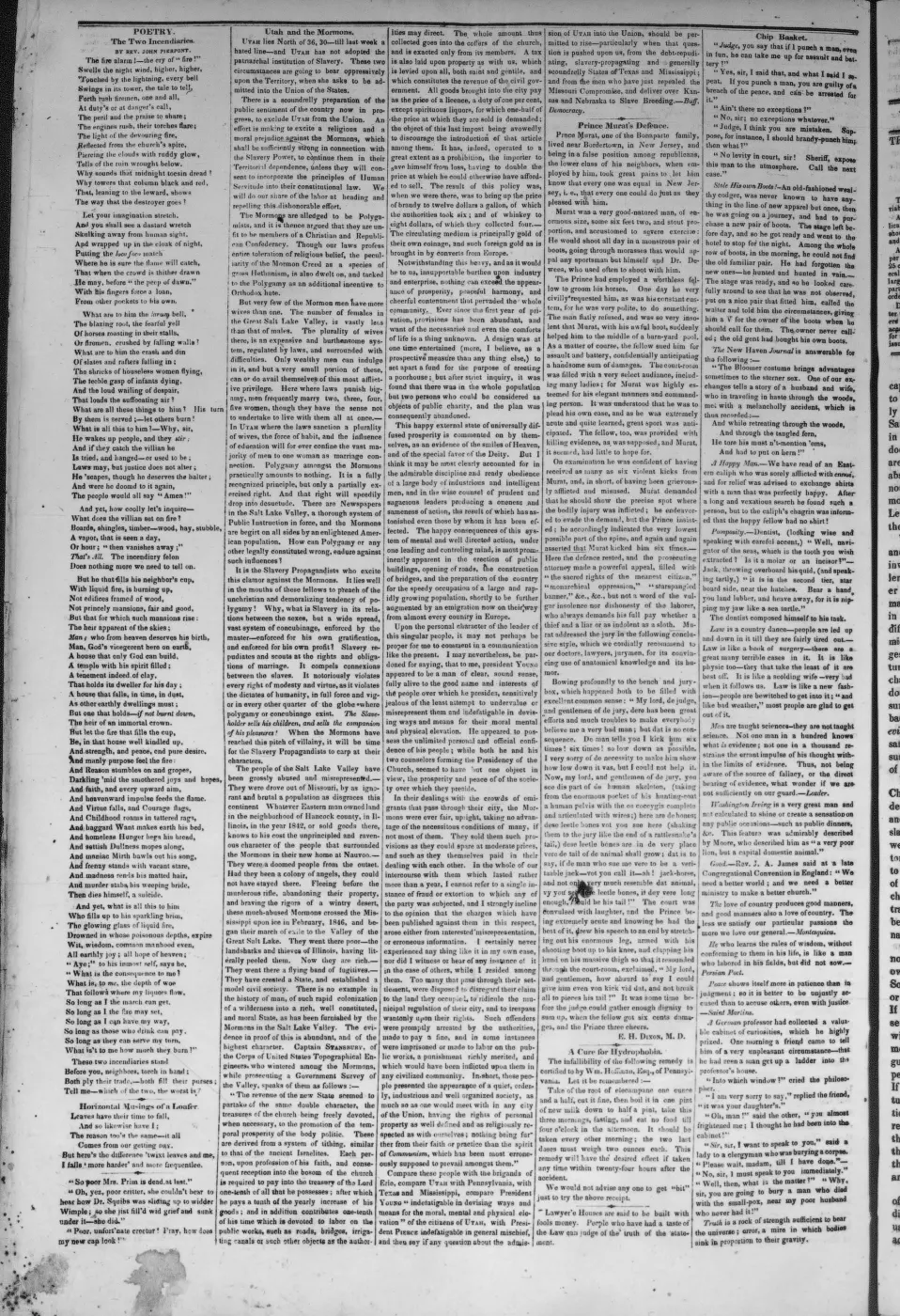
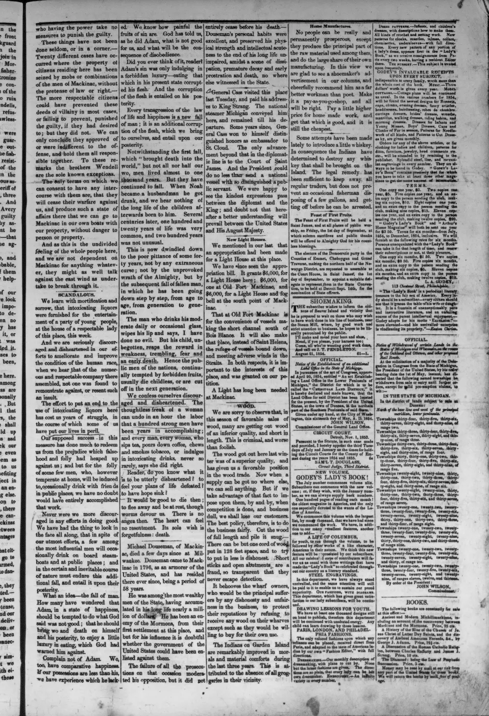
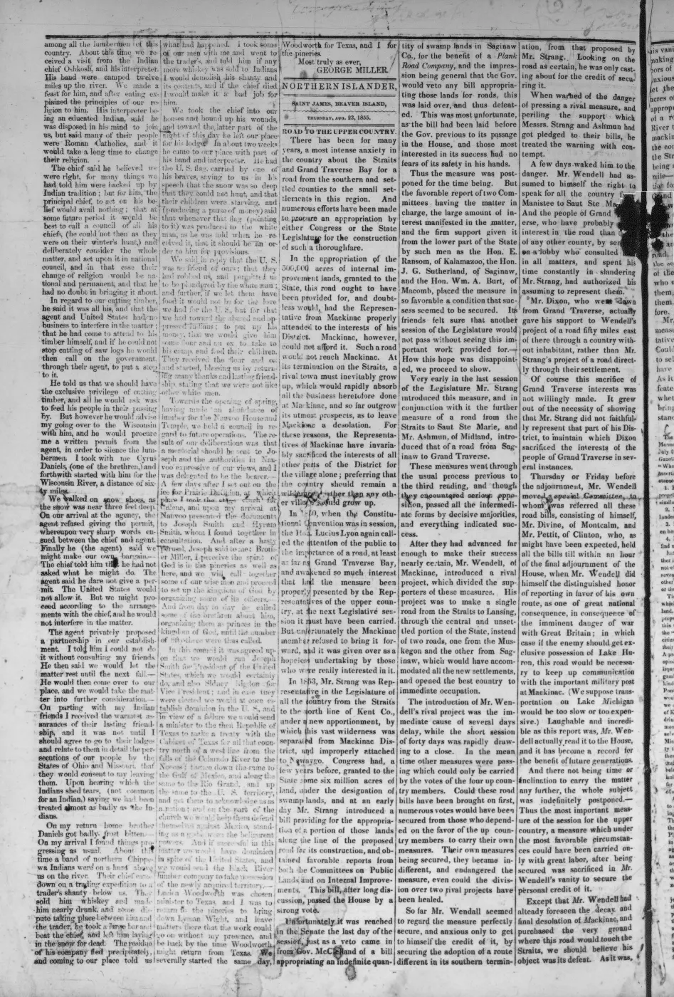
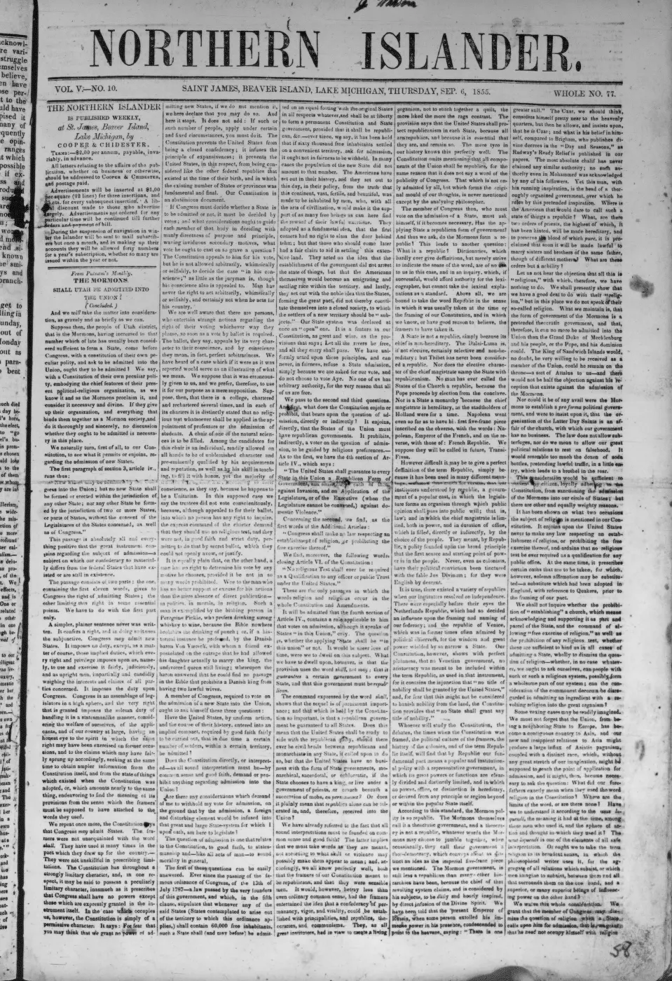
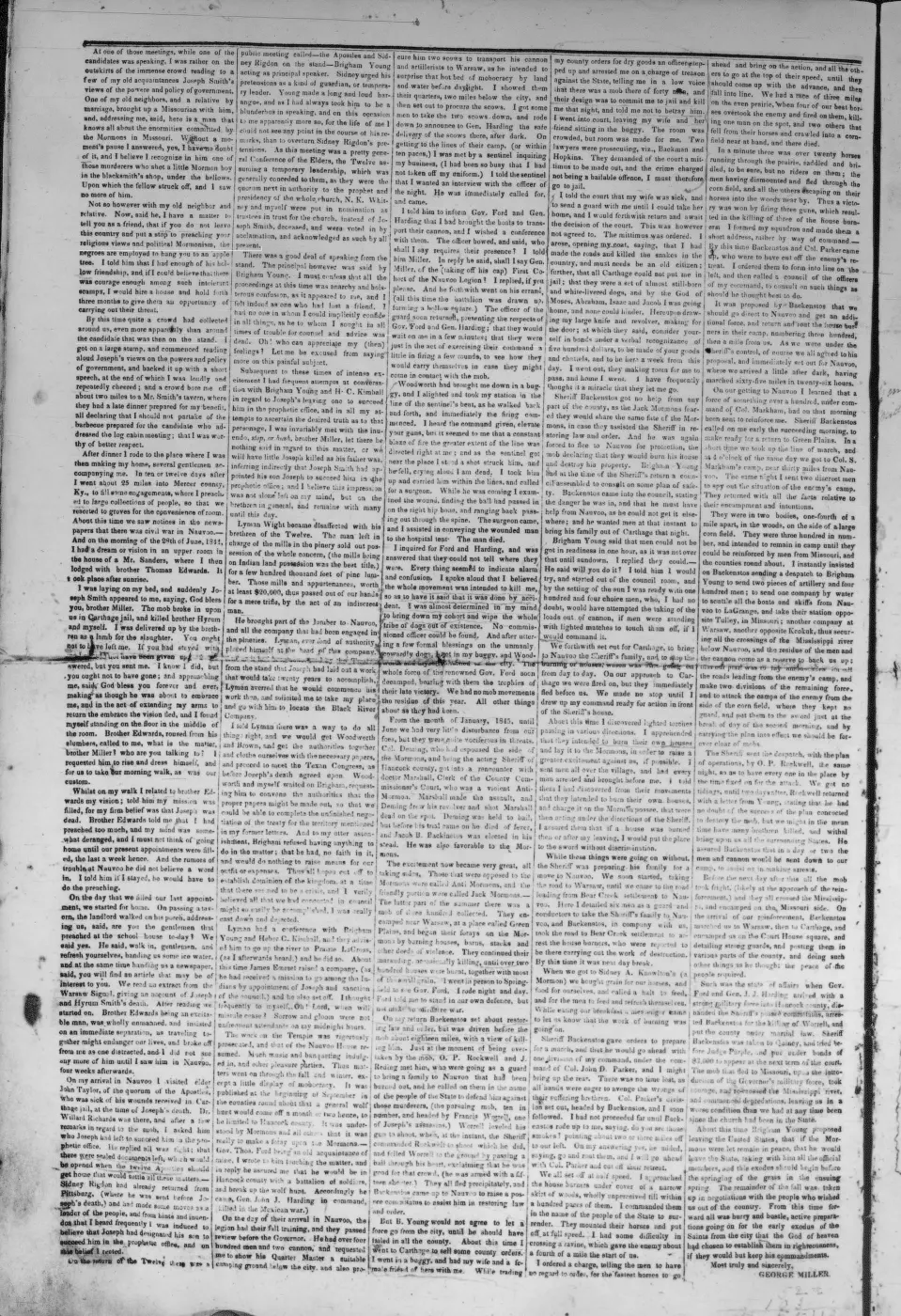
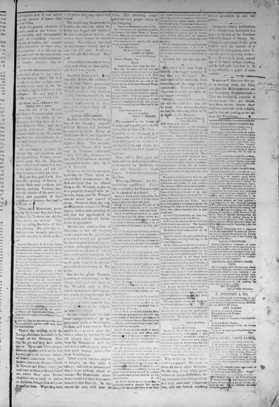
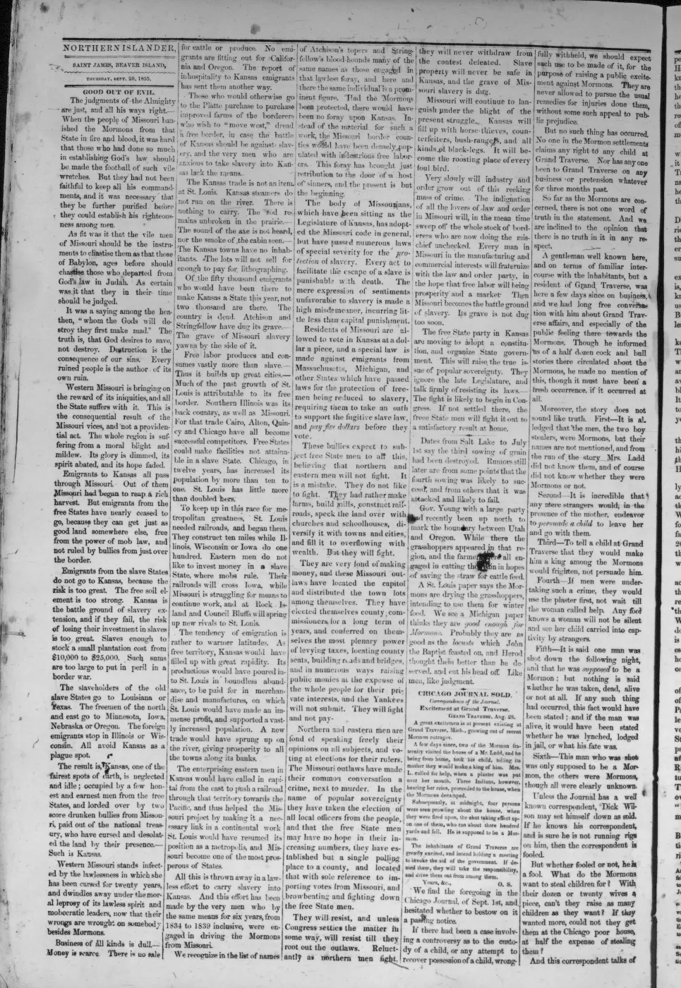
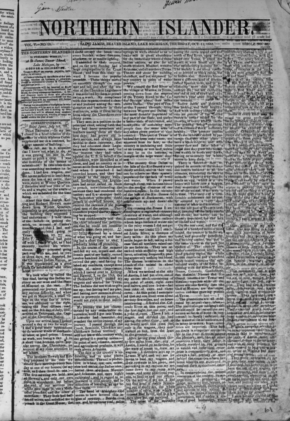
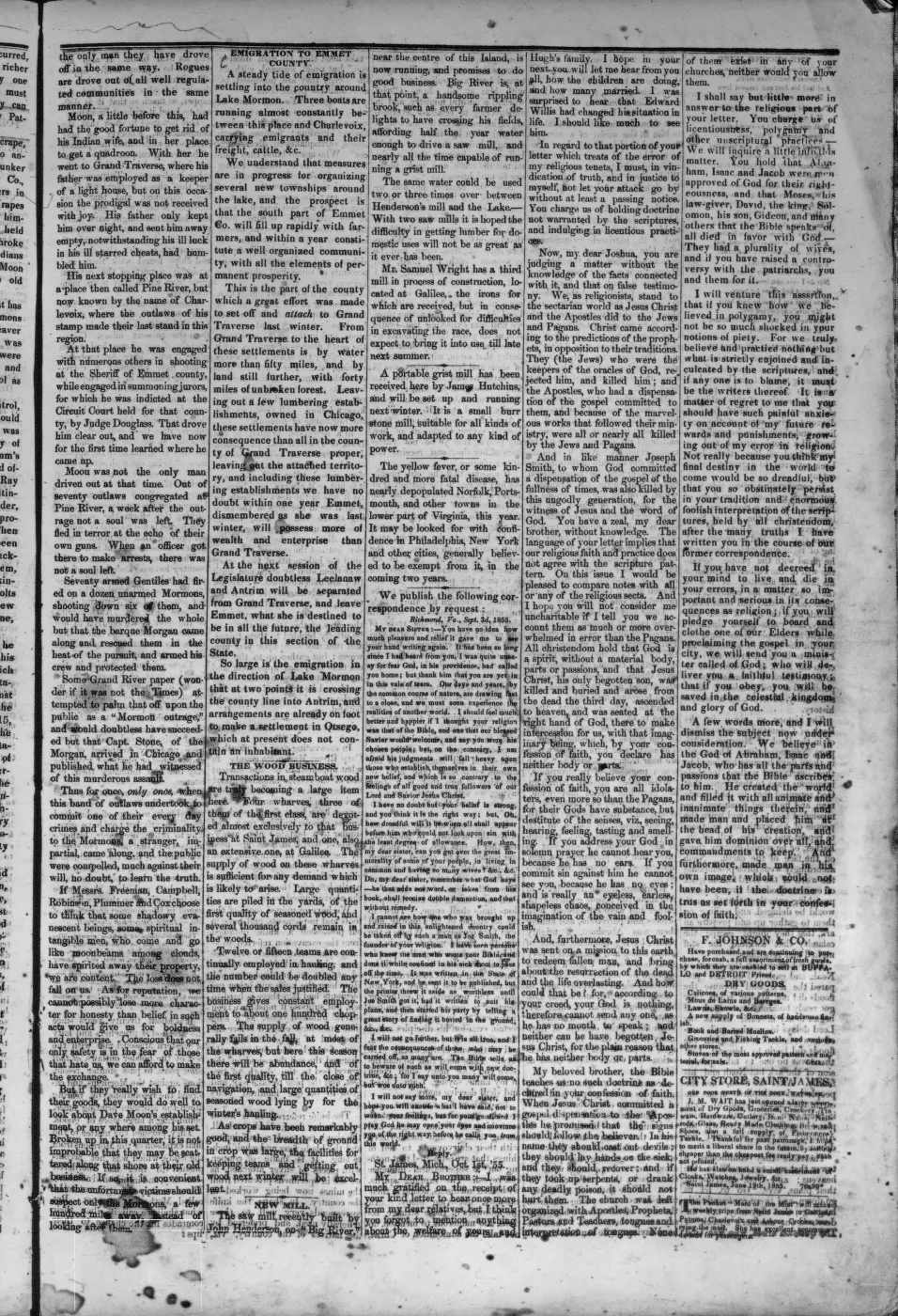
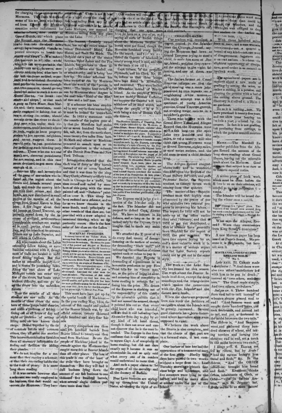
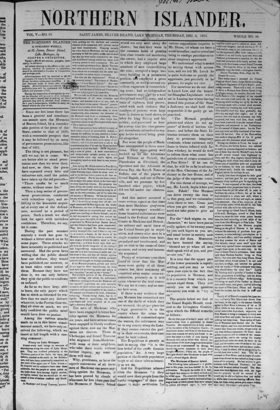
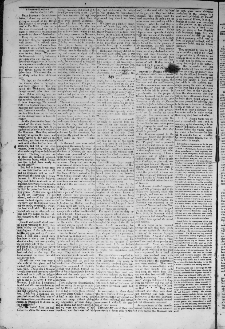
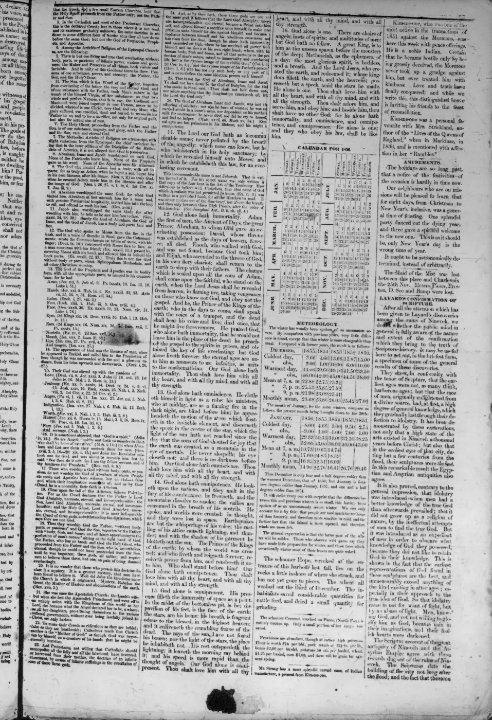
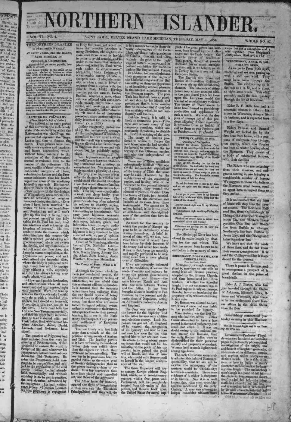
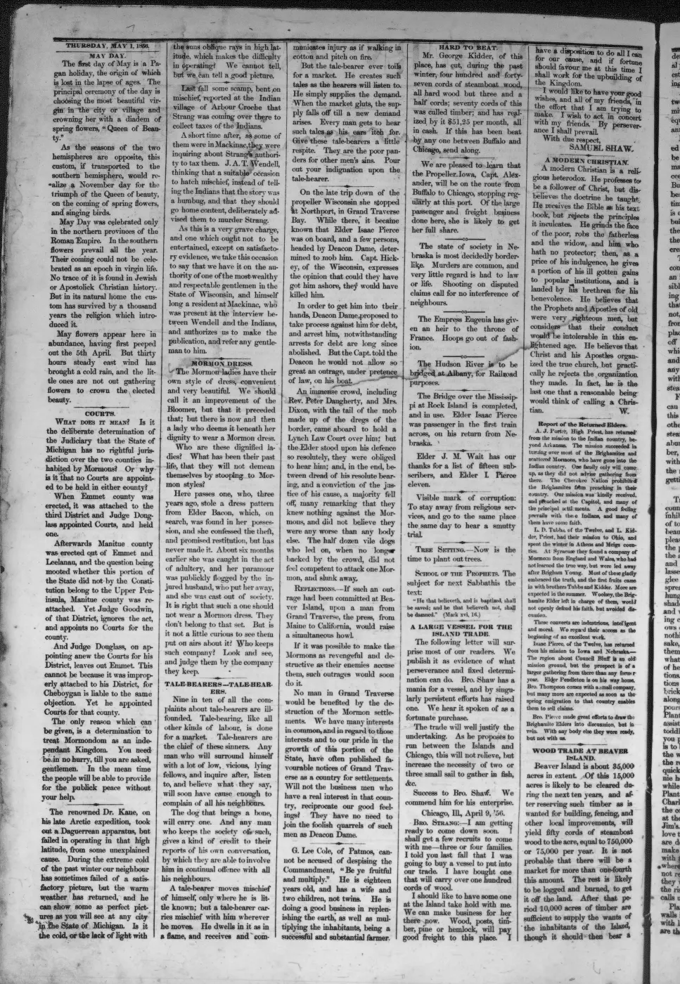
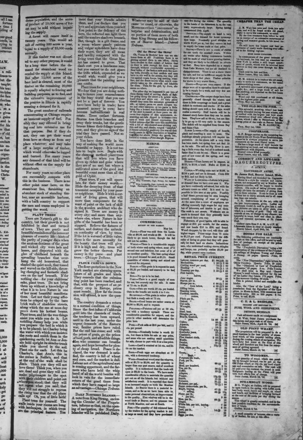
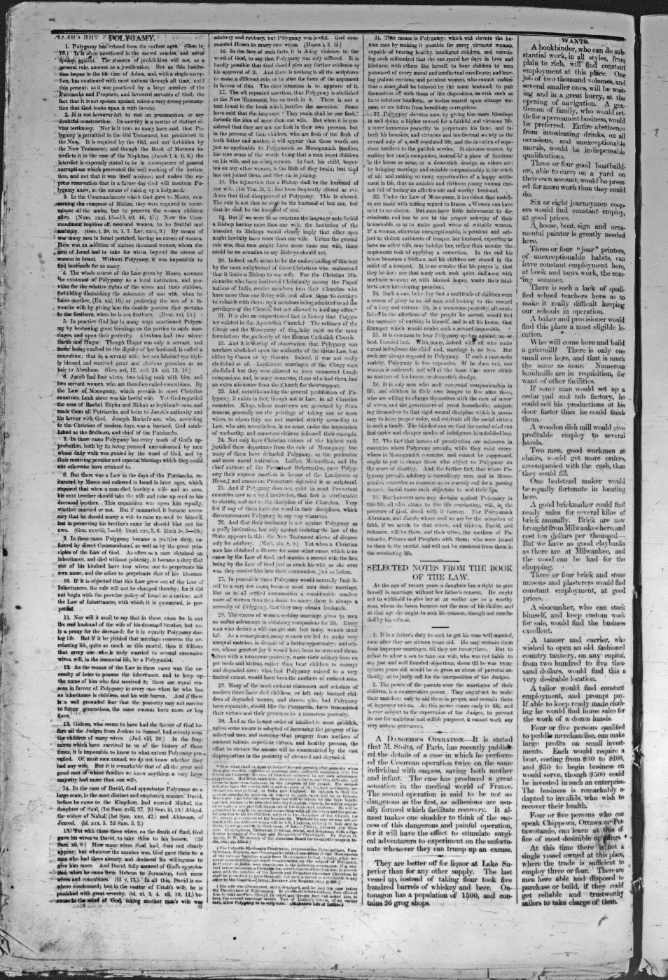
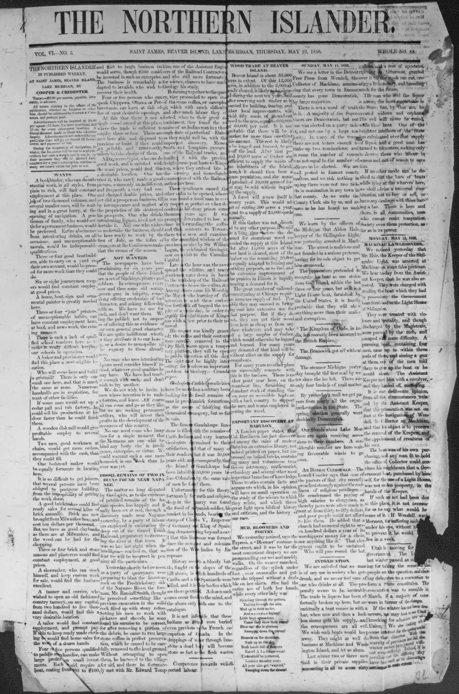
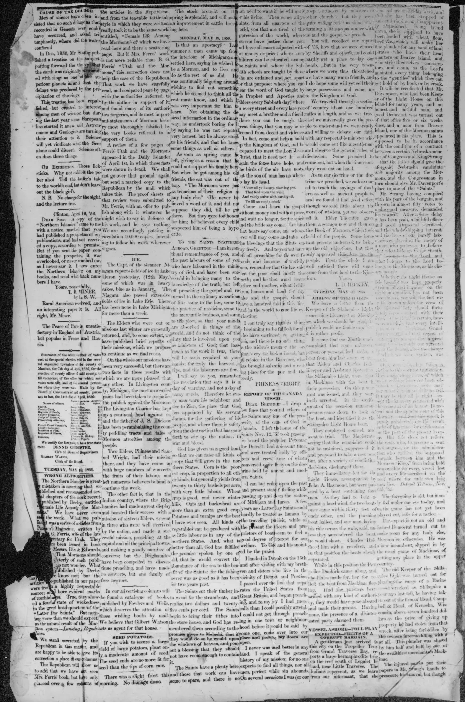
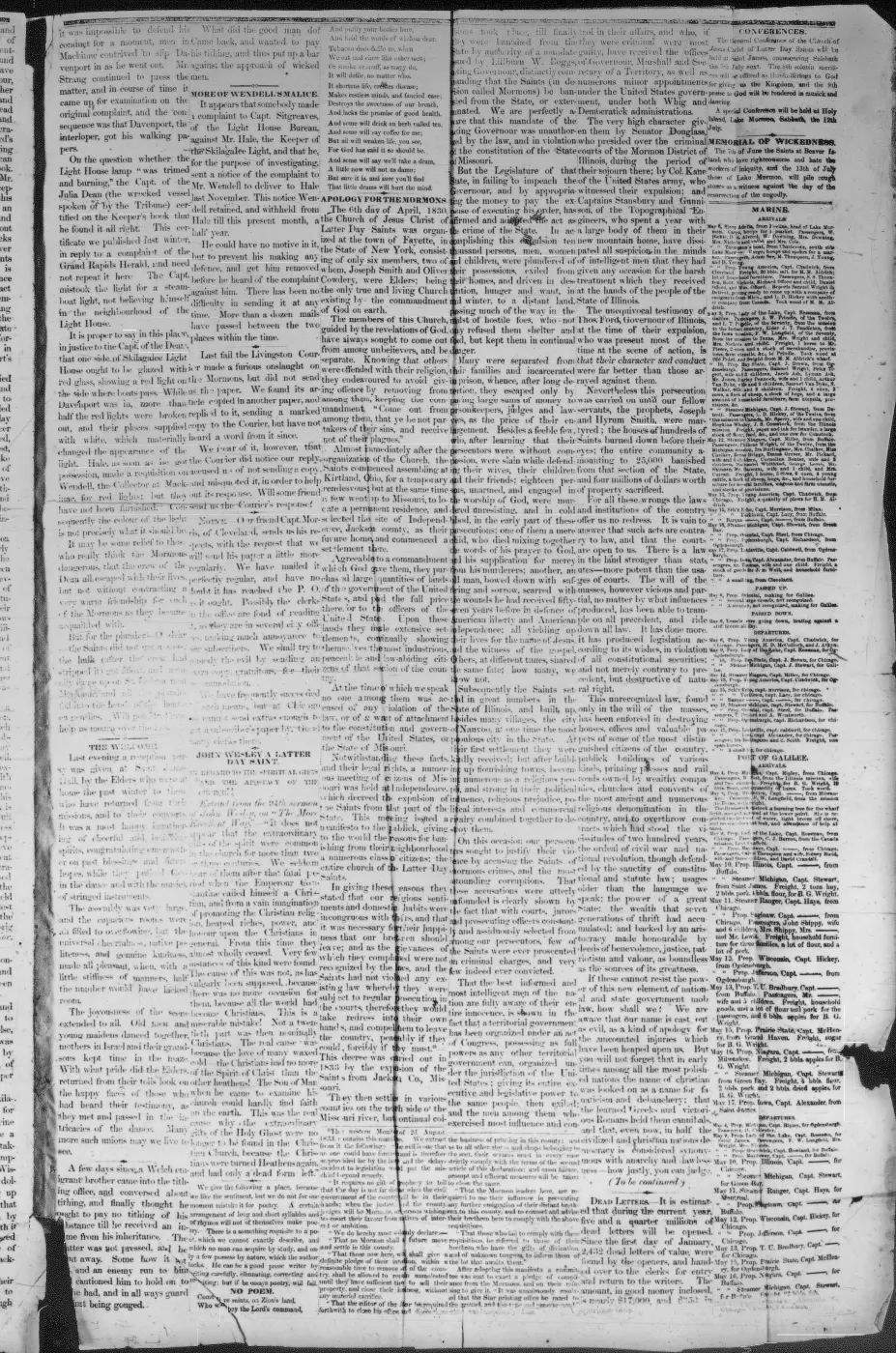
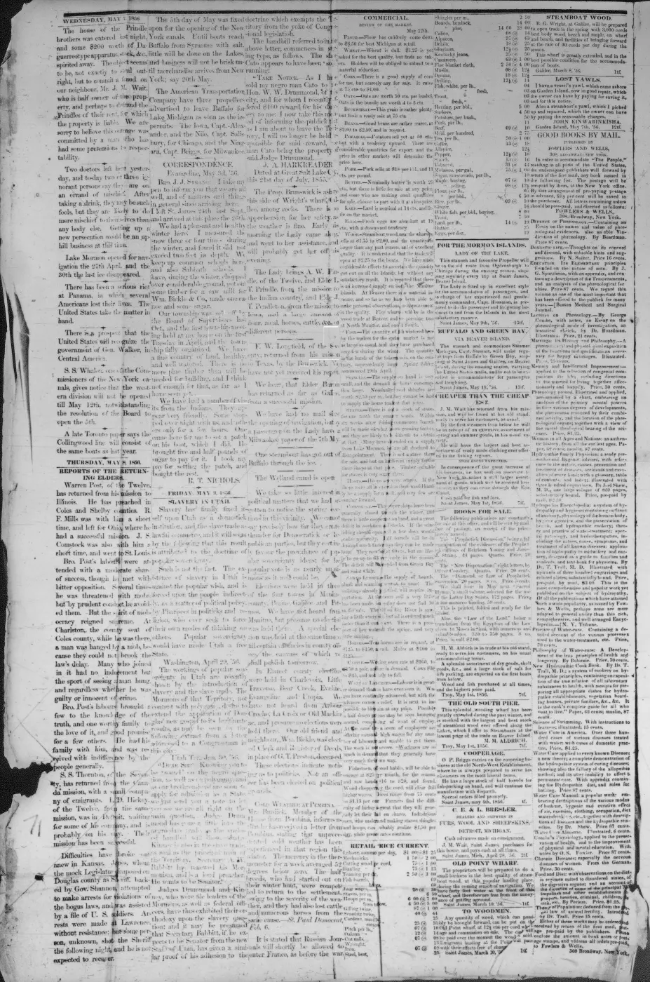
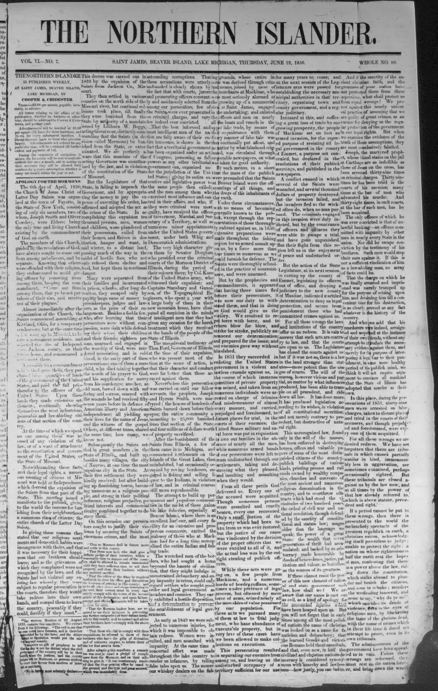
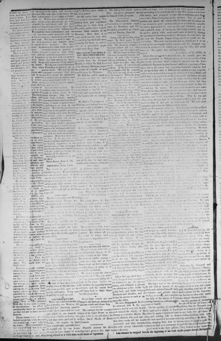
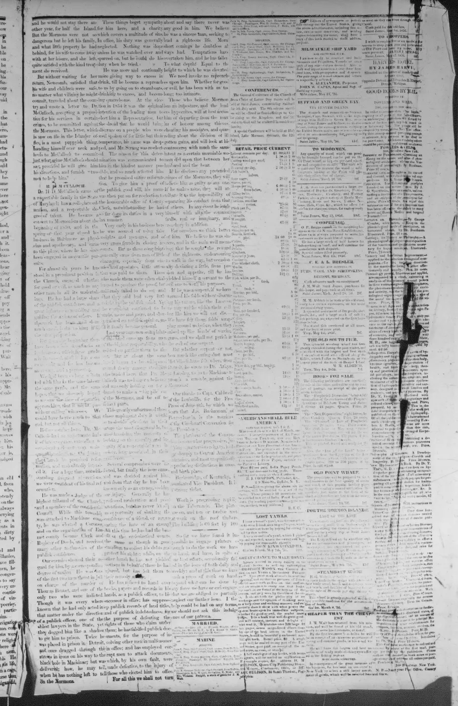
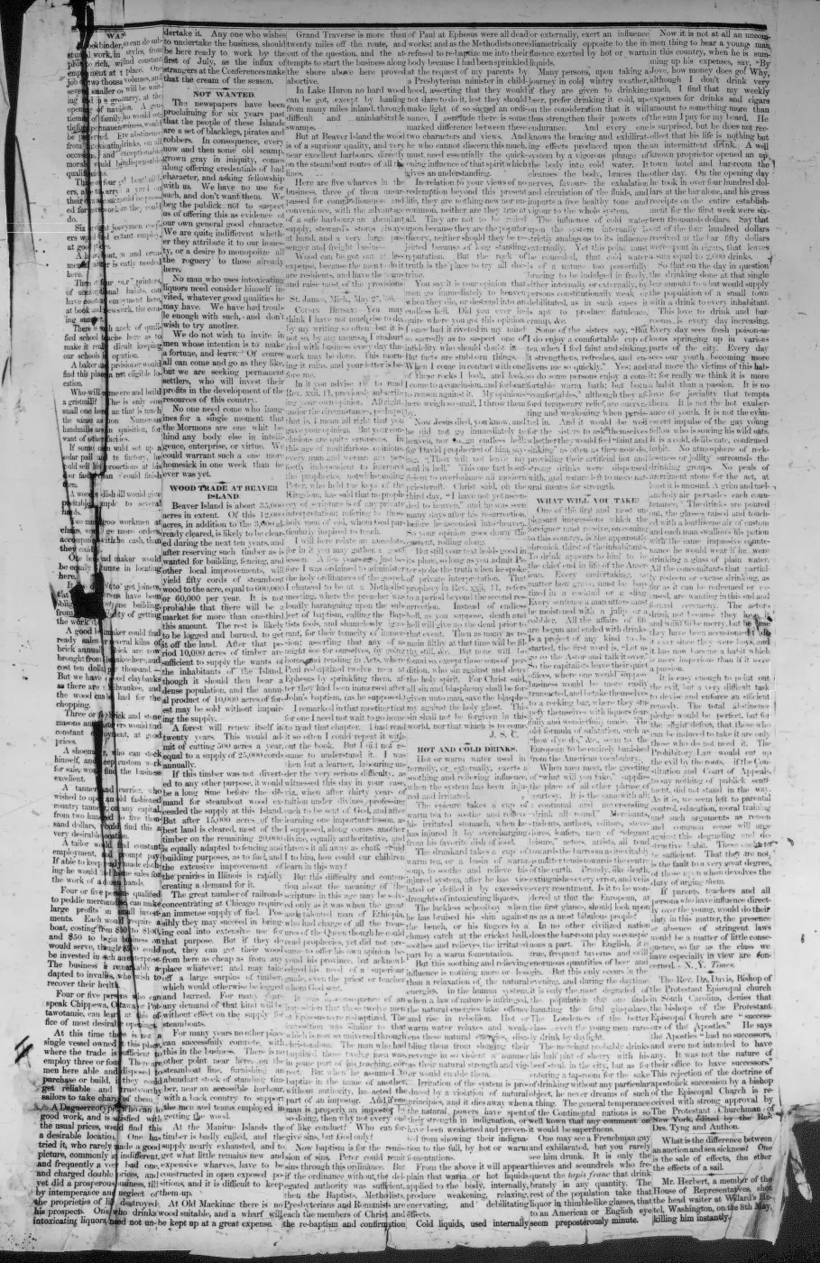
129 of 290 pages linked here — every page to 32, then every 3th, then the last 16. With JavaScript, every page.
Sources
- Described in this archive: Ancient and Modern Michilimackinac, 1854.Strang calls the water body Lake Galilee, describes it as the island's largest lake behind the village of Galilee, and says its outlet, the Jordan, fell twenty-six feet in one mile and could be turned into a new channel to concentrate the fall as water power at Galilee. His claimed dimensions, depth, elevation, and geological explanation are period observations and are not adopted as modern measurements.
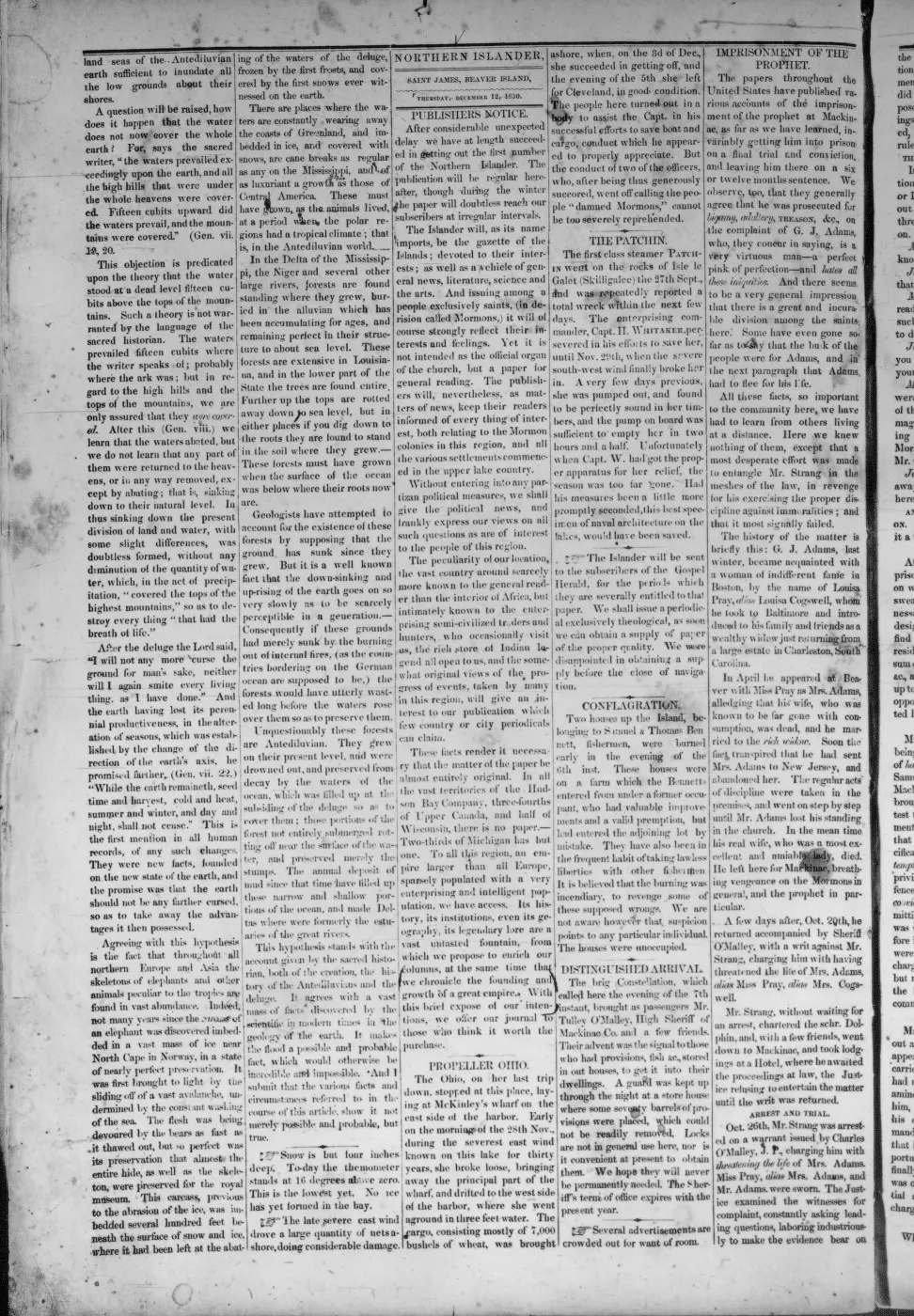
- Described in this archive: Northern Islander, 1850–1856.Reports Samuel Wright's third mill under construction at Galilee and says unexpected difficulties excavating “the race” would delay its use until late the next summer. In context the third mill is a sawmill; a portable gristmill is announced separately. This is evidence of an attempted water-power race, not a completed navigable canal.
- Described in this archive: Beaver Island History Map, 1978 revision.Labels a “Mormon Canal (partially completed)” near the southern/eastern arm of Lake Geneserath. This later pictorial compilation is evidence for the local name and approximate placement, not a contemporary survey or proof of purpose.
- Records conflicting later traditions of a safe-harbor canal and a mill-power ditch, plus reports of visible trenches on private property near the east bank of the lake's south arm. These recollections are leads, not contemporary documentation or a public-access statement.forum · www.beaverislandforum.com · 11 · t011472
- Described in this archive: North End of Lake Michigan Including the Beaver Island Group, 1855 Lake Survey chart.The chart depicts the lake and an unlabeled linear feature or cleared corridor extending north from its northeastern vicinity toward the island interior. Comparison with Strang's road description is plausible but does not identify the feature by name or prove exact continuity with modern King's Highway.federal · noaa_charts · images · 1855_NORTH-END-OF-LAKE-MICHIGAN-INCLUDING-THE-BEAVER-ISLAND-GROUP-NORTH-END_LC00010-00-1855WWL
- Described in this archive: Beaver Island Group nautical chart, 1907.Clearly depicts the north-south alignment and a separate road segment rising from the lake, with a blank interval before the northern road. Its authorities panel indicates that the inland topography principally derives from 1854-55 surveys rather than a new 1907 road survey.federal · noaa_charts · images · 1907_CHART-OF-BEAVER-ISLAND-GROUP-INCLUDING-THE-NORTHEAST-END-OF-LAKE-MICHI_LC0000Ma_02_1907_LS
- Described in this archive: Beaver Island Group nautical chart, 1911.Explicitly labels the northern road "Kings Highway" and separately depicts the lake-side segment. A working latitude-graticule measurement puts the intervening blank interval at about 1.9 miles (3.1 km), not a surveyed or georeferenced route distance.federal · noaa_charts · images · 1911_BEAVER-ISLAND-GROUP-INCLUDING-NORTH-SHORE-OF-LAKE-MICHIGAN-FROM-WAUGOS_72-9-1911
- Describes the lumber railroad proceeding toward the King's Highway and anticipates trains from the shores of "Lake Genessaret." It connects the named road and lake in the 1903 industrial landscape but does not say the highway itself then reached the lake.data1 · beaver-island-archive · beaver_beacon · 2003-10_Beaver-Beacon
- The held thirty-six-page issue scan is paired with the OCR source and confirms the published notice or report; it does not expand the source-specific identity, event, or outcome claims.data1 · beaver-island-archive · scans · beaver_beacon · issues · 2003-10_Beaver-Beacon
- The 1959 issue identifies an "old road" south of Fox Lake Corners to the north end of Lake Geneserath; the 1960 issue reports the cleared and color-marked central trail in use. The reports do not name it King's Highway. The holding institution's portal restricts automated access; the archive holds a copy of this issue and can provide it on request.data1 · beaver-island-archive · beaver_beacon · 1959-12_Beaver-Beacon
- The held five-page issue scan is paired with the OCR source and confirms the published notice or report; it does not expand the source-specific identity, event, or outcome claims.data1 · beaver-island-archive · scans · beaver_beacon · issues · 1959-12_Beaver-Beacon
- Described in this archive: Wetland inventory ArcGIS layers for the Beaver Island archipelago.Modern comparison maps forested and shrub wetland over much of the general charted gap corridor. It does not establish nineteenth-century road condition or prove why the charts leave the road disconnected.federal · layers · nwi_wetlands
- The held lake polygon and King's Highway line were compared in projected coordinates; the current named road endpoint is about 6.0 km in a straight line from the lake polygon. This is not a travel distance, surveyed boundary, legal-access statement, or historical route reconstruction.osm · water
- GNIS feature 626719; feature class 'Lake'.federal · gnis · gnis_names
- Variant names: Geneserath Lake.federal · gnis · gnis_variant_names
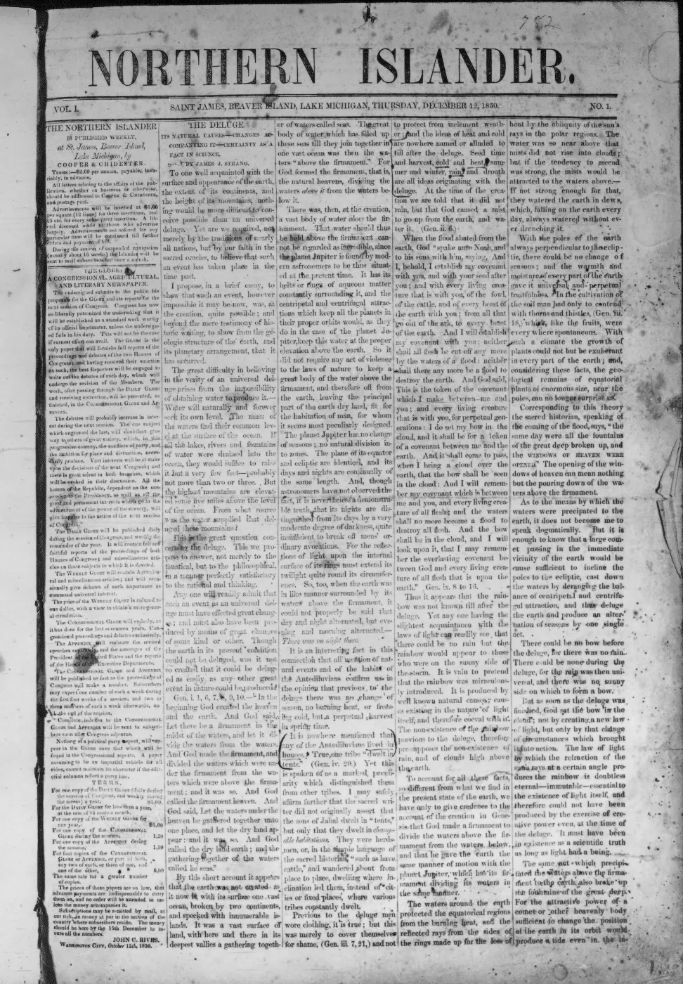
- Verbatim: "The King's Highway, the main thoroughfare from St. James, is a reminder of the Mormon era as are Lake Galilee and the River Jordan, the island's sole trout stream." Found 2026-07-31 by searching the held Internet Archive OCR. Significant because it is a LATE attestation of the Strangite form: a Charlevoix County paper was still printing "Lake Galilee" in 1945, nearly a century after the kingdom fell and long after the 1905 and 1912 accounts. It also gives "River Jordan" rather than the modern "Jordan River". Caveat: this is Internet Archive OCR, not an original transcription made here, and the surrounding text is noisy - but the passage itself is unambiguous. A separate "Lake Galilee" hit in the Charlevoix County Herald of 13 March 1942 is a FALSE POSITIVE: it is a Sunday-school column about Jesus sleeping through a storm, and refers to the Sea of Galilee in Palestine. Same non-unique-place-name trap seen elsewhere in this archive.
- 'Blessed Beaver Island,' The Rock Island Argus (Rock Island, Ill.), 12 April 1912, p. 11.'The largest Inland lake is there. They call it Little lake to distinguish it from Lake Michigan. But the Mormons called it Lake Gennesaret. Its outlet they called the Jordan and a little settlement which they made at its mouth they called Galilee. All that has disappeared and only the old maps retain the names. Today but three families live at the head.' Confirms Strang-era biblical naming of the lake, its outlet (the Jordan) and a settlement (Galilee) at its mouth, and that local usage in 1912 had reverted to a plain descriptive name. No public copy of this file is known; the archive holds one and can provide it on request.federal · chronicling_america · sn92053934_1912-04-12_ed1_p12
- Lists 'Lakes Genessarett, Fox Lake, Green Lake' among Beaver Island's six inland lakes, 'near the head of the Island'; distinguishes Font Lake, near the harbor, as the site of Mormon baptisms and yearly feasts — not this lake.
- 'Lake Geneserath is the Island's largest inland lake'; 'a high-quality mesotrophic lake' with depths reaching 55 feet, supporting a walleye fishery; at least one study links increased trophic status to warming climate and residential development. Modern secondary source for present-day physical and ecological description.
- *Charlevoix Courier*, 1964-1965 bound volume, report of an emergency flight to Beaver Island.The bound-volume OCR identifies the coverage as 23 January 1964 through 12 July 1965 but does not preserve the exact issue date of this report. It records a medical party landing on the ice of Lake Geneserath, described as a small inland body about a mile from the patient's home; useful evidence for mid-century access and local geographic orientation, not for the lake's modern size. No public copy of this file is known; the archive holds one and can provide it on request.
- *Charlevoix Courier*, January-December 1976, county lake-resources inventory.A Charlevoix County Planning Department inventory reproduced in the newspaper lists Lake Geneserath at 440 acres among Peaine Township lakes. This is a dated county inventory and should not be treated as a current measurement. No public copy of this file is known; the archive holds one and can provide it on request.
- Northern Islander, February 2024, "MDNR 2023 Beaver Island Fisheries Survey."Community summary of a July 2023 Michigan Department of Natural Resources survey of Geneserath, Fox Lake, and island streams. It reports bluegill, pumpkinseed, bass, walleye, creek chub, northern pike, steelhead, and turtles collected at Geneserath, with multiple walleye year classes. The underlying MDNR report is not held here, so these are attributed newspaper findings. No public copy of this file is known; the archive holds one and can provide it on request.
- Names Lake Geneserath Boat Access & Campground among five DNR-leased Peaine public-recreation sites. It does not establish a current legal boundary, private title, a specific improvement consent, or current access conditions.research · island_governance · peaine-lake-geneserath-dnr-lease
- Solicits a grant-funded solar well at the boat-launch site. It is not evidence that the well was awarded, drilled, tested, or available to the public.research · island_governance · peaine-lake-geneserath-solar-well-rfp-2025
- Approves an installation-stage solar hookup for the lake well and water testing at two lake sites. It does not establish completed construction, water-test results, potability, or public access.research · island_governance · peaine-lake-geneserath-water-testing-2025-08-19
- Foundation report says a new ADA-compliant fishing pier was installed at Lake Geneserath. It does not establish its installation date, government approval, ownership/access rights, funding or maintenance responsibility, or current condition.research · island_governance · charlevoix-community-foundation-lake-geneserath-ada-pier
- Resolution applies for County parks-millage funding to reconstruct the boat-launch pit toilet as an ADA-compliant vault toilet. It does not establish a County award, construction, current facility condition, or access.governance · township_meetings · peaine-board · 12-16-2025-board-of-trustees-regular-meeting-minutes-approved-04e7cfe673
- The listing says Pat's Road leads to Lake Geneserath from a Cable Bay property; it supports a route-to-lake setting, not a surveyed access point or current access guarantee.
- A visitor asked for someone to take four adults on a pontoon ride around Lake Geneserath. The request is a qualified contemporary clue to recreational interest, not evidence that a boat ride occurred, that a service was available, or that access was public.forum · www.beaverislandforum.com · 05 · t005193
- MNFI, Biological Inventory For Conservation of Great Lakes Islands: 1999 Progress Report (Report 2000-11), Common Loon and Beaver aquatic-site crosswalk records.Described in this archive: MNFI Great Lakes Islands 1999 progress report crosswalk.Records one Common Loon pair at Lake Geneserath and lists the lake among four inland lakes visited in the aquatic work. These are dated observations, not a complete loon census or lake inventory. No public copy of this file is known; the archive holds one and can provide it on request.research · wildlife · indices · mnfi_great_lakes_islands_1999_inventory_index
- Project-generated named aquatic and wetland place crosswalk (2026).Described in this archive: Named aquatic and wetland places crosswalk, 2026.Provides polygon overlay context for the named lake; SSURGO, NWI, geology, and circa-1800 categories are regional/map context, not parcel soil determinations or current habitat boundaries. No public copy of this file is known; the archive holds one and can provide it on request.research · places · named_aquatic_wetland_place_crosswalk


Added 28 July 2026 · revised 21 August 2026. Recent changes
Cite this article
Beaver Island Archive, “Lake Geneserath”, https://beaverislandarchive.org/places/lake-geneserath/, accessed [date], citing James J. Strang, *Ancient and Modern Michilimackinac, Including an Account of the Controversy between Mackinac and the Mormons* (1854), "Big Beaver," pp. 44-45. (and 30 further sources listed on the page).
Last revised 2026-08-21. Fill in [date] with the date you read it — this page is static and cannot know that.