

- Date
- 2023-06-21
- Eras
- Modern era
- Concepts
- toponymyland-surveyenvironmentheritage
- Within
- Beaver Island
Summary
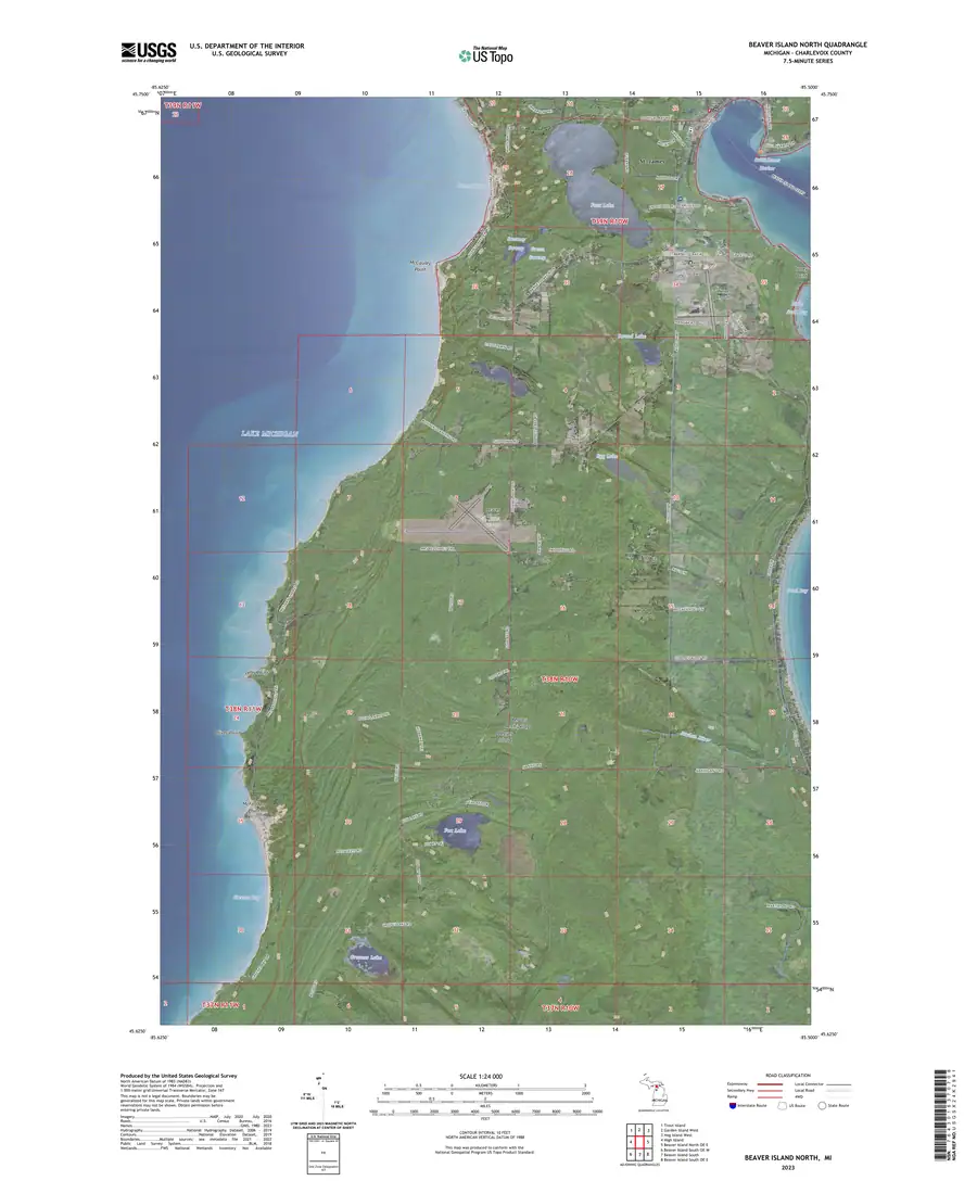
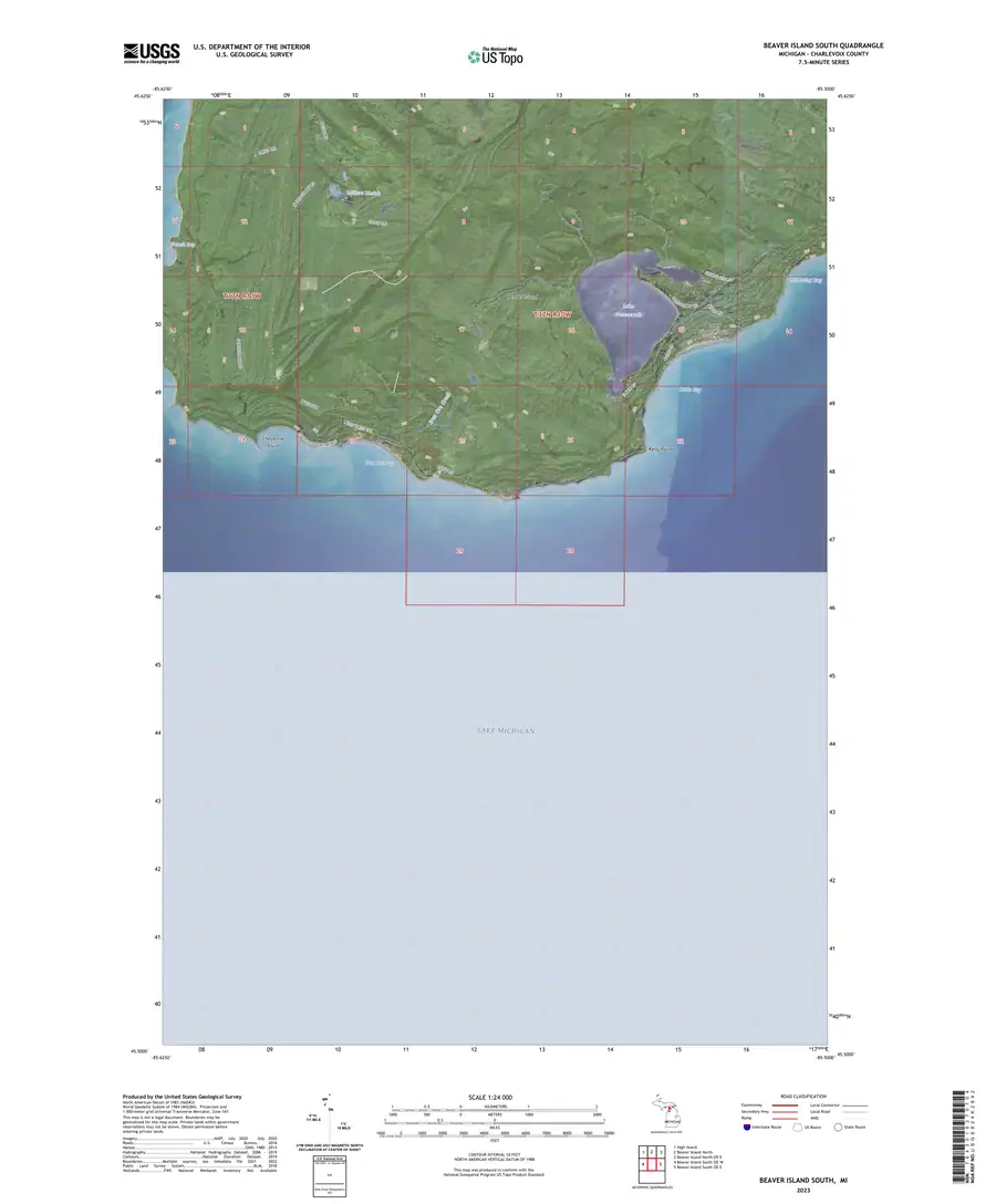
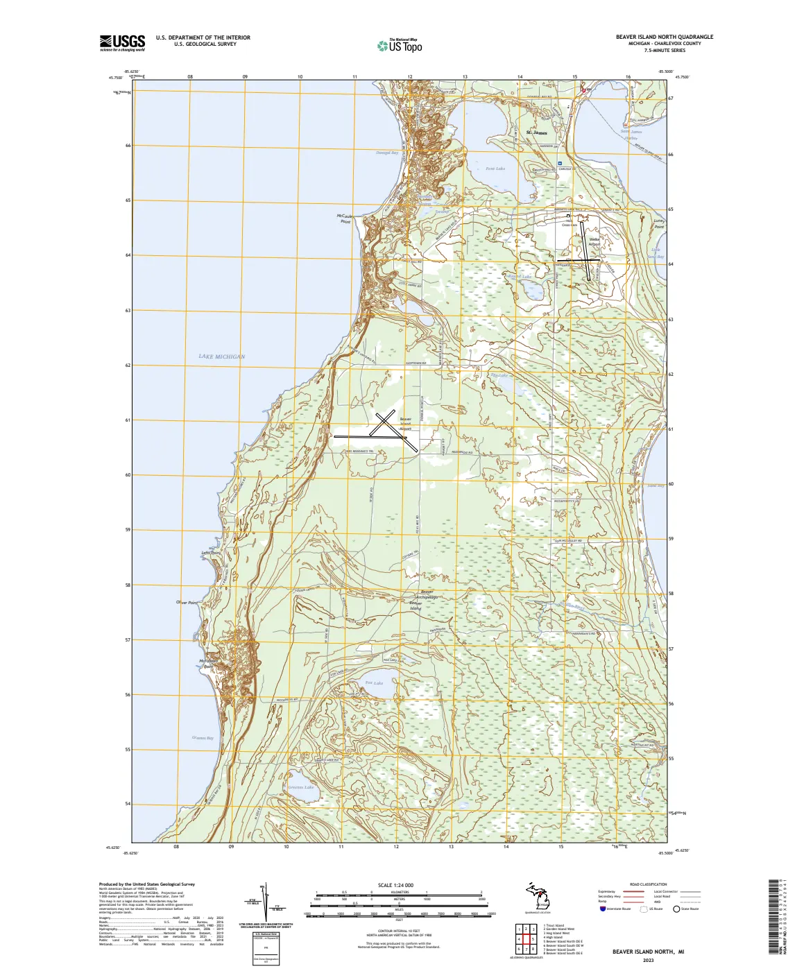
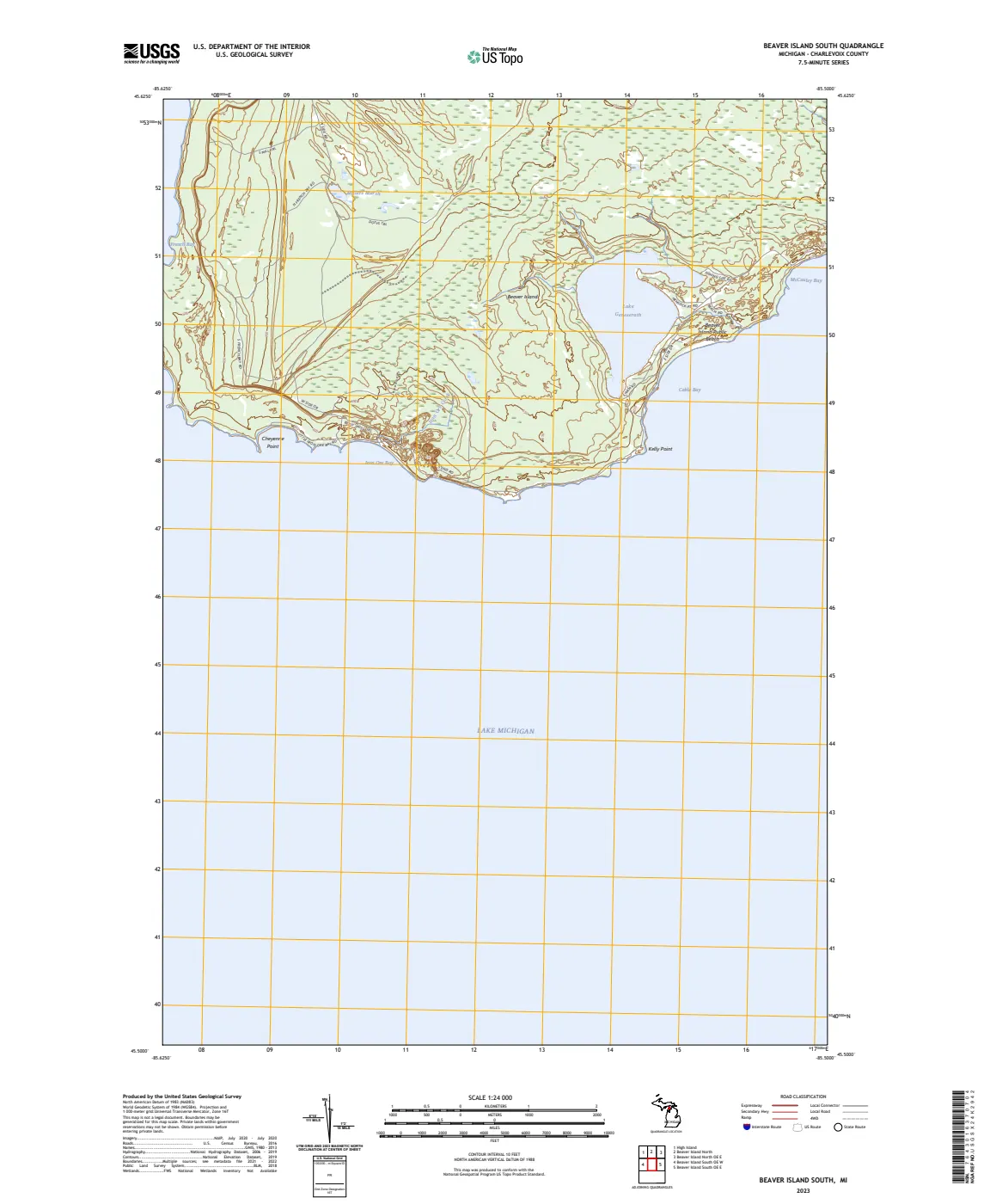
This source-set record groups the held 2023 USGS Beaver Island North and Beaver Island South US Topo quadrangles. The two individual Map records carry the PDF assets; this bridge preserves their shared publication metadata and the project’s explicit core-pair scope.
What they establish
The two quadrangles establish the names, contours, hydrography, roads, imagery, and other selected features that USGS published in these particular June 2023 map products. Together they support a controlled comparison with the held 1956 1:62,500 Beaver Island quadrangle: a later mapping edition at a different scale and production method, rather than a seamless historical update.
Evidence and limits
USGS describes US Topo as a repackaging of GIS data, not the creation of new information. A printed label, road, or symbol does not establish legal title, parcel or township boundary, public access, maintenance responsibility, a structure’s construction or use, or a uniform ground-observation date. The publication date does not mean every underlying layer was observed in 2023. This source set covers the two held core sheets, not every 2023 US Topo sheet or every island in the Beaver Island archipelago.
See also
The page
Rendered from the held scan.
The page
Rendered from the held scan.
Sources
- Held layered geospatial PDF. ScienceBase metadata describes US Topo as GIS-derived traditional-map packaging drawing on selected National Map and other government holdings, with layers including orthoimagery, roads, grids, names, contours, and hydrography. It is a 2023 map product, not a complete field survey or legal record.federal · usgs_topo · current · Beaver-Island-North_2023_24000
- Held companion layered geospatial PDF covering the south core of Beaver Island at the same scale and publication date. It is included to make the main-island coverage explicit; neither sheet covers the whole archipelago.federal · usgs_topo · current · Beaver-Island-South_2023_24000
- The index records 7.5-by-7.5-minute GeoPDF extent, ScienceBase catalog identifiers, and download metadata. The individual provenance sidecars retain source URLs, retrieval times, SHA-256 checksums, and public-domain status.federal · usgs_topo · _index_us_topo_current
Added 2 August 2026. Recent changes
Cite this article
Beaver Island Archive, “USGS Beaver Island North and South US Topo quadrangles source set”, https://beaverislandarchive.org/documents/usgs-beaver-island-us-topo-quadrangles-2023/, accessed [date], citing U.S. Geological Survey, *Beaver Island North, Michigan*, US Topo 7.5-minute quadrangle, 1:24,000, June 21, 2023. (and 2 further sources listed on the page).
Last revised 2026-08-02. Fill in [date] with the date you read it — this page is static and cannot know that.
BibTeX for “USGS Beaver Island North and South US Topo quadrangles source set”RIS for “USGS Beaver Island North and South US Topo quadrangles source set”