

- Concepts
- shippingmaritimelighthousesshipwrecksEarly American eraStrang era
- Within
- Beaver Island archipelago
Summary
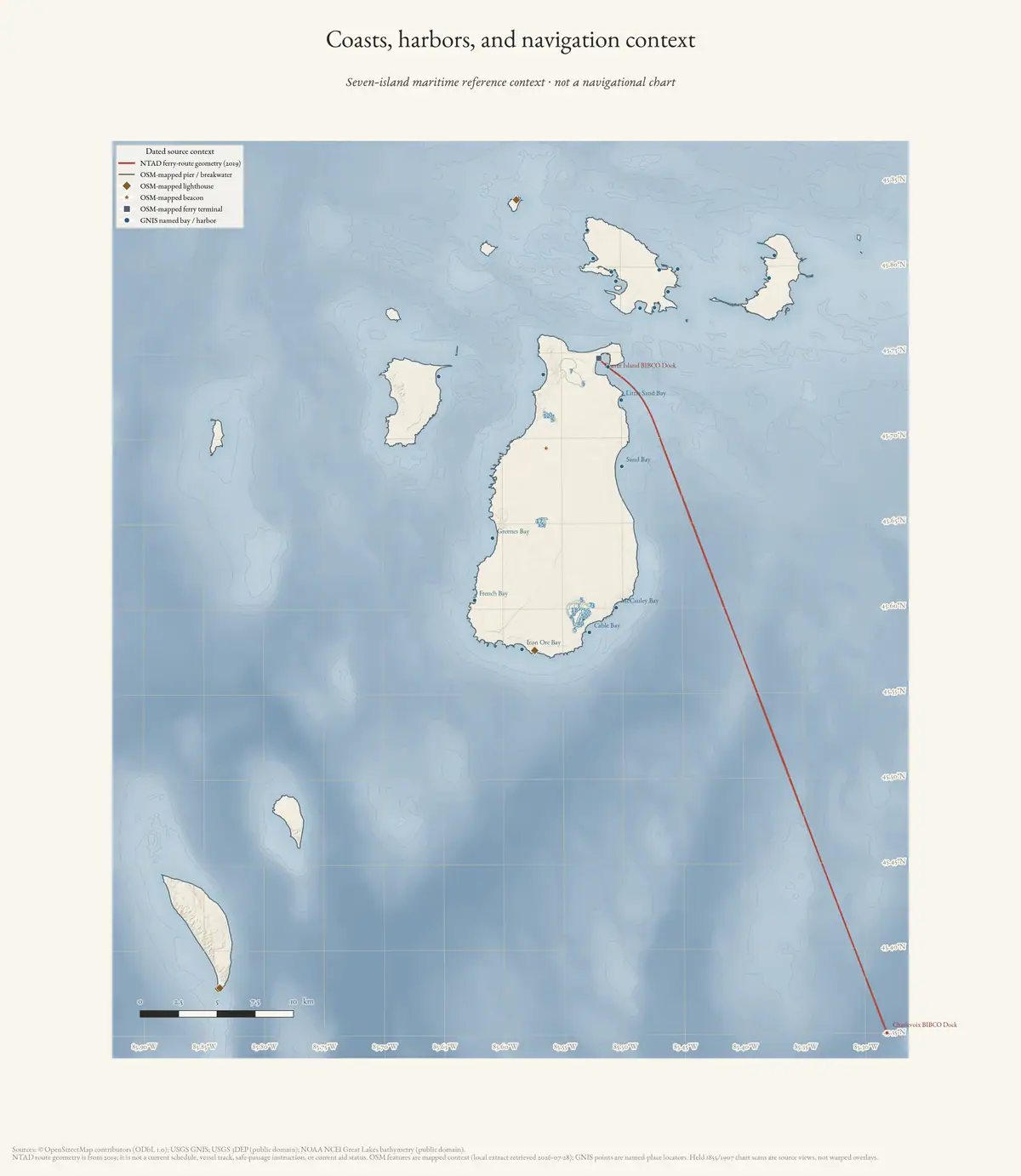
The Beaver Island archipelago sits directly in the way. Traffic between the Straits of Mackinac and the southern half of Lake Michigan — and between the Straits and Green Bay — has to pass either north or south of the group, and the group is strewn with reefs. That geography produced everything on this page: a land-locked harbour that became a port of call in the 1840s, a wooding trade that fuelled the steamers, four light stations, a life-saving station, and a run of charts beginning with the U.S. Lake Survey sheet of 1855 and continuing to the present.
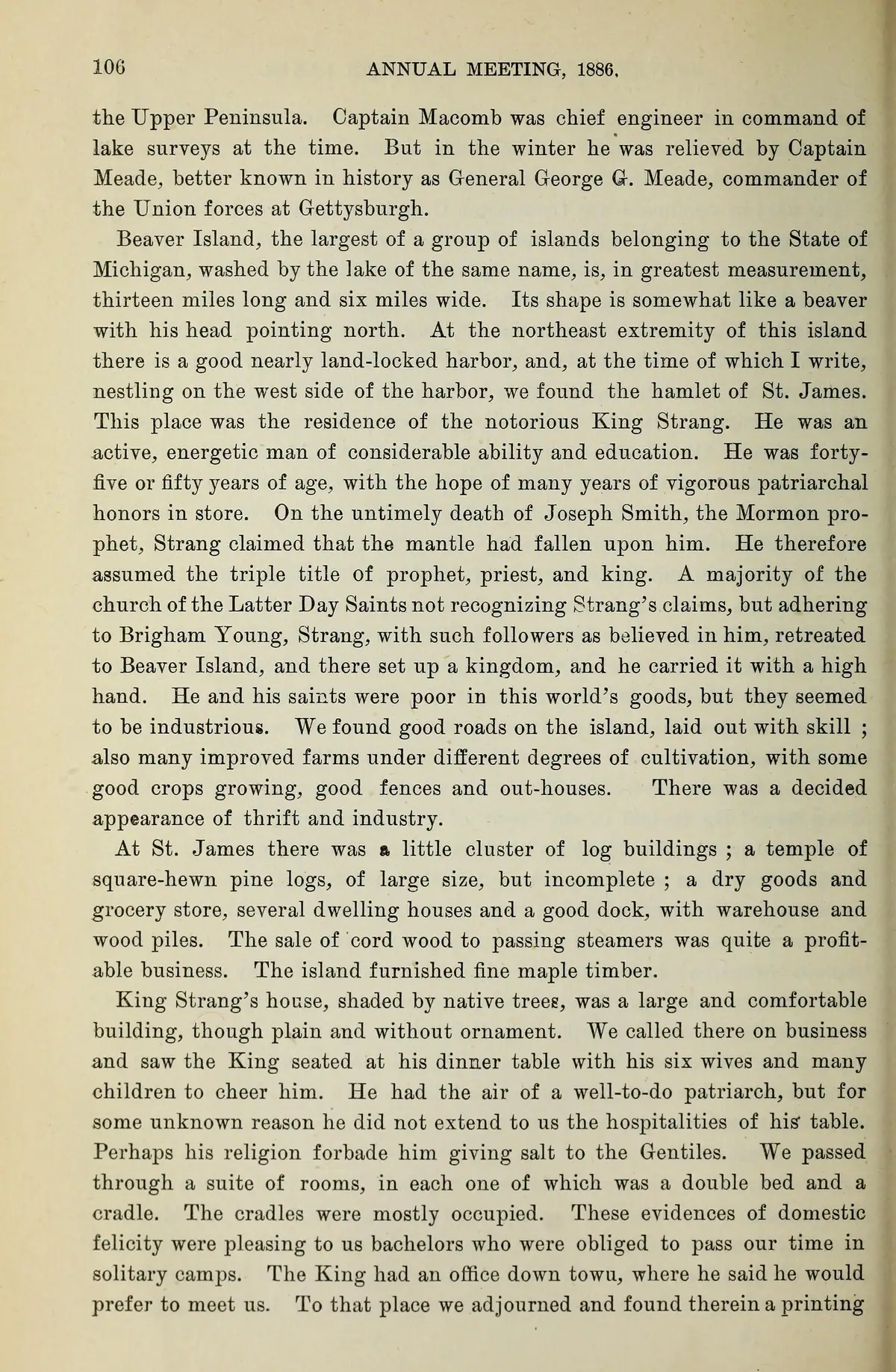
A survey visitor’s 1855 snapshot. John H. Forster wrote in 1886 that he had been ordered with W. H. Harding and others to survey Beaver Island in spring 1855. He describes good roads, cultivated farms, and at St. James a dock, warehouse, and wood piles; he says cordwood sales to passing steamers were profitable. The observation lines up shore infrastructure with the contemporaneous Lake Survey chart and the Northern Islander wooding evidence. It remains a memoir written three decades later, not an official field report, and its hostile claims about Strang and the Saints are not used here. Michigan Historical Collections, volume 9, 1886
The archipelago’s importance to shipping peaked before the island’s own economy did and outlasted it. By 1902 the Coast Pilot could route a master to Beaver Island Harbor from five directions; the settlement it served had already lost most of its people.
The track past the islands
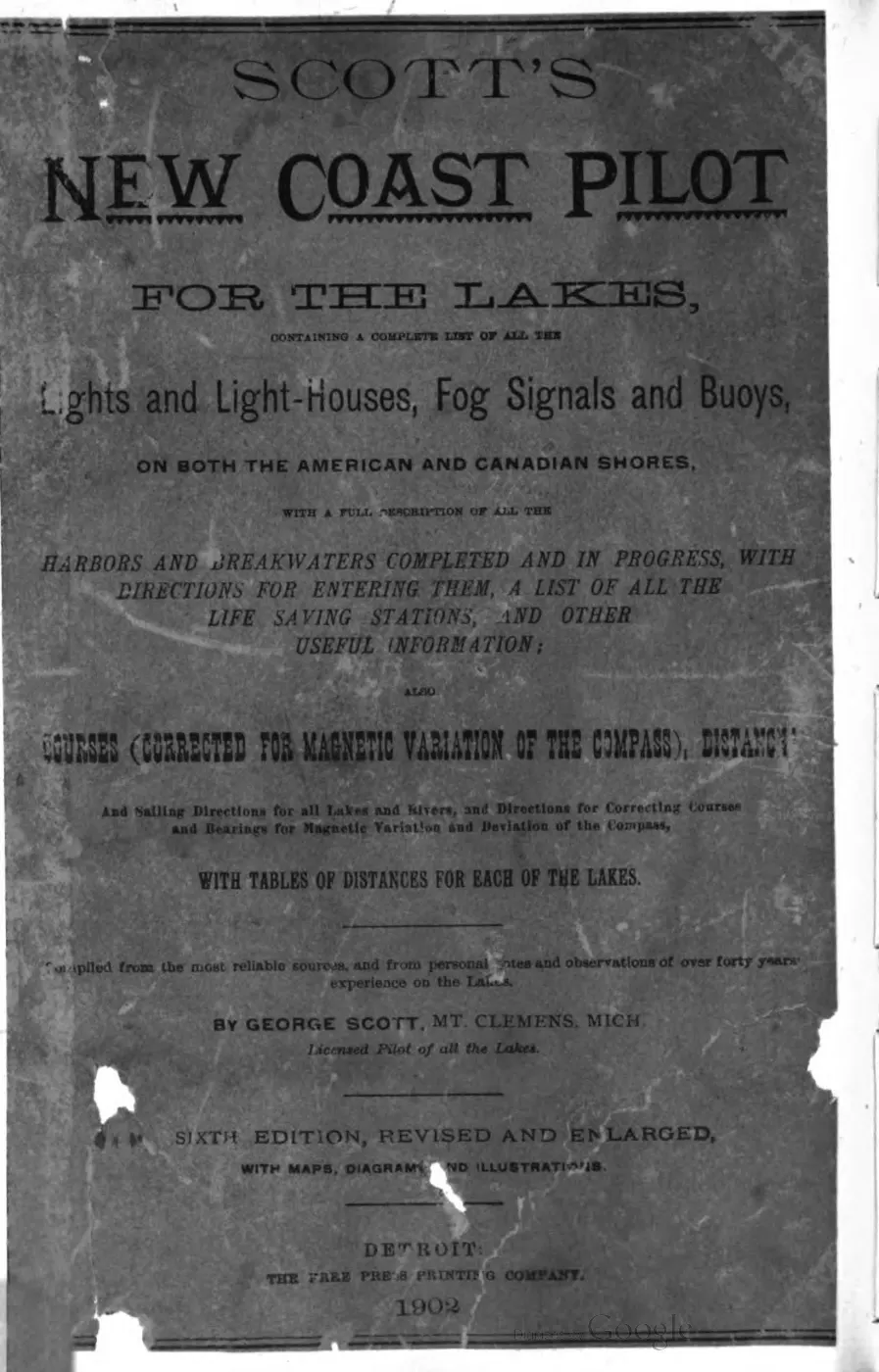
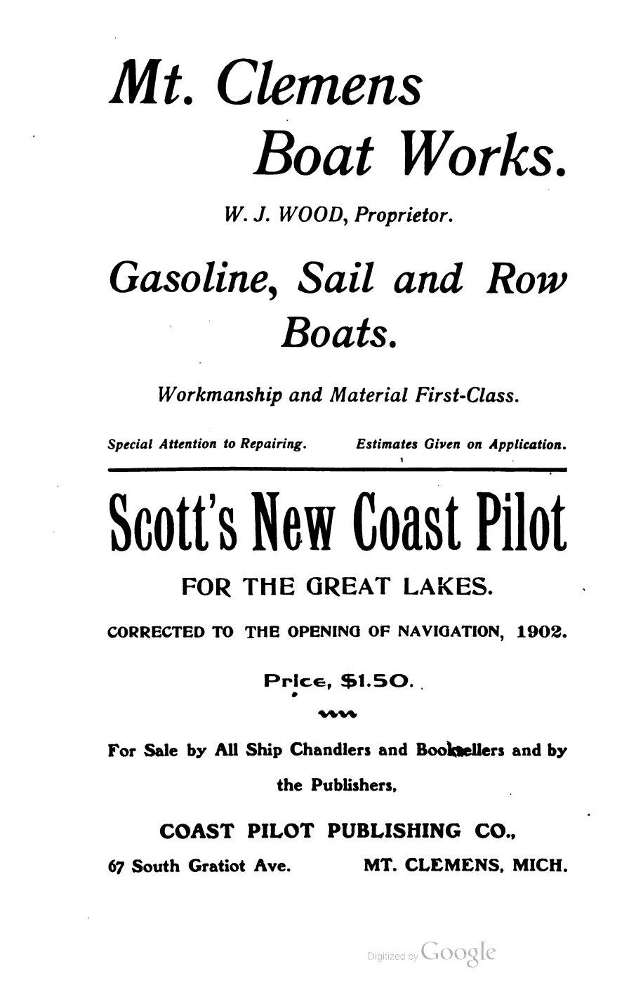
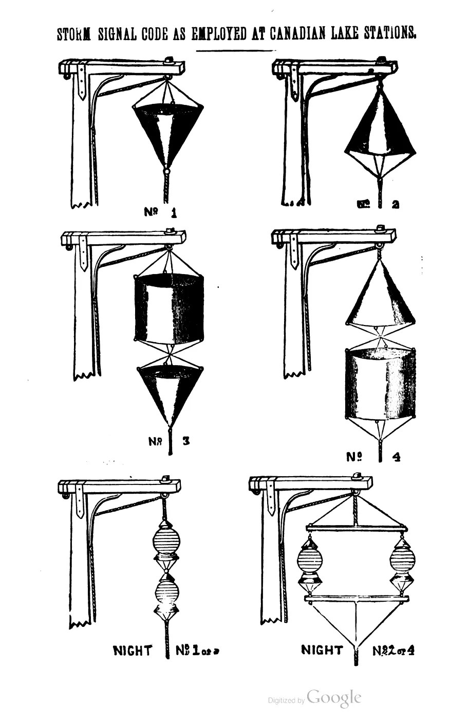
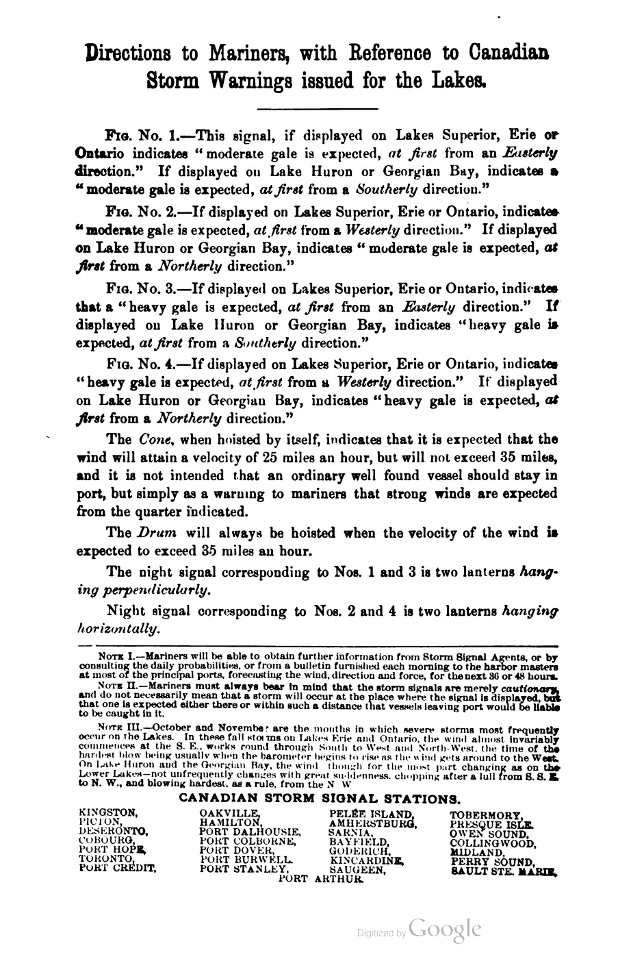
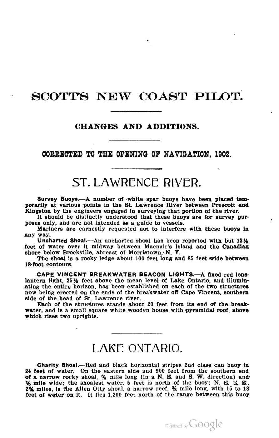
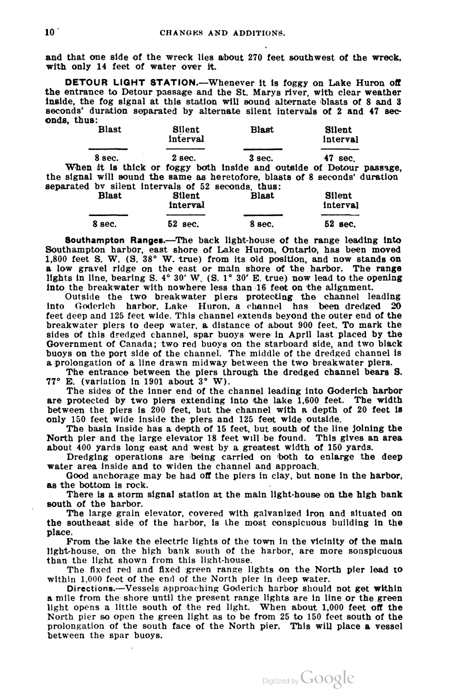
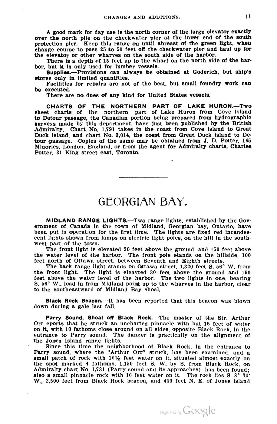
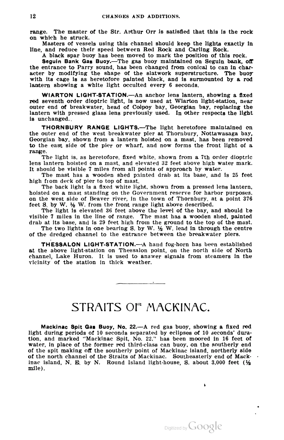
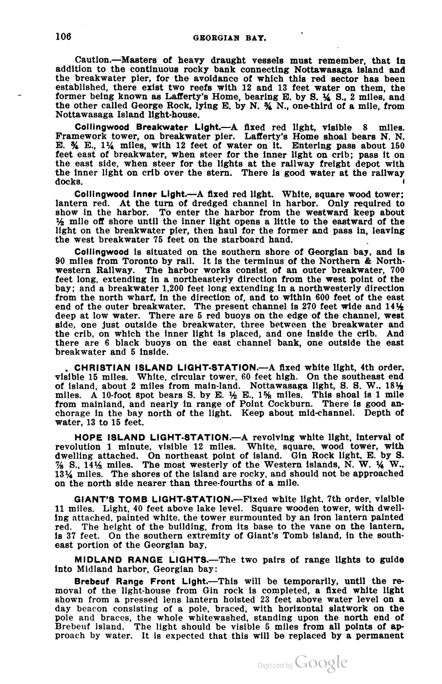
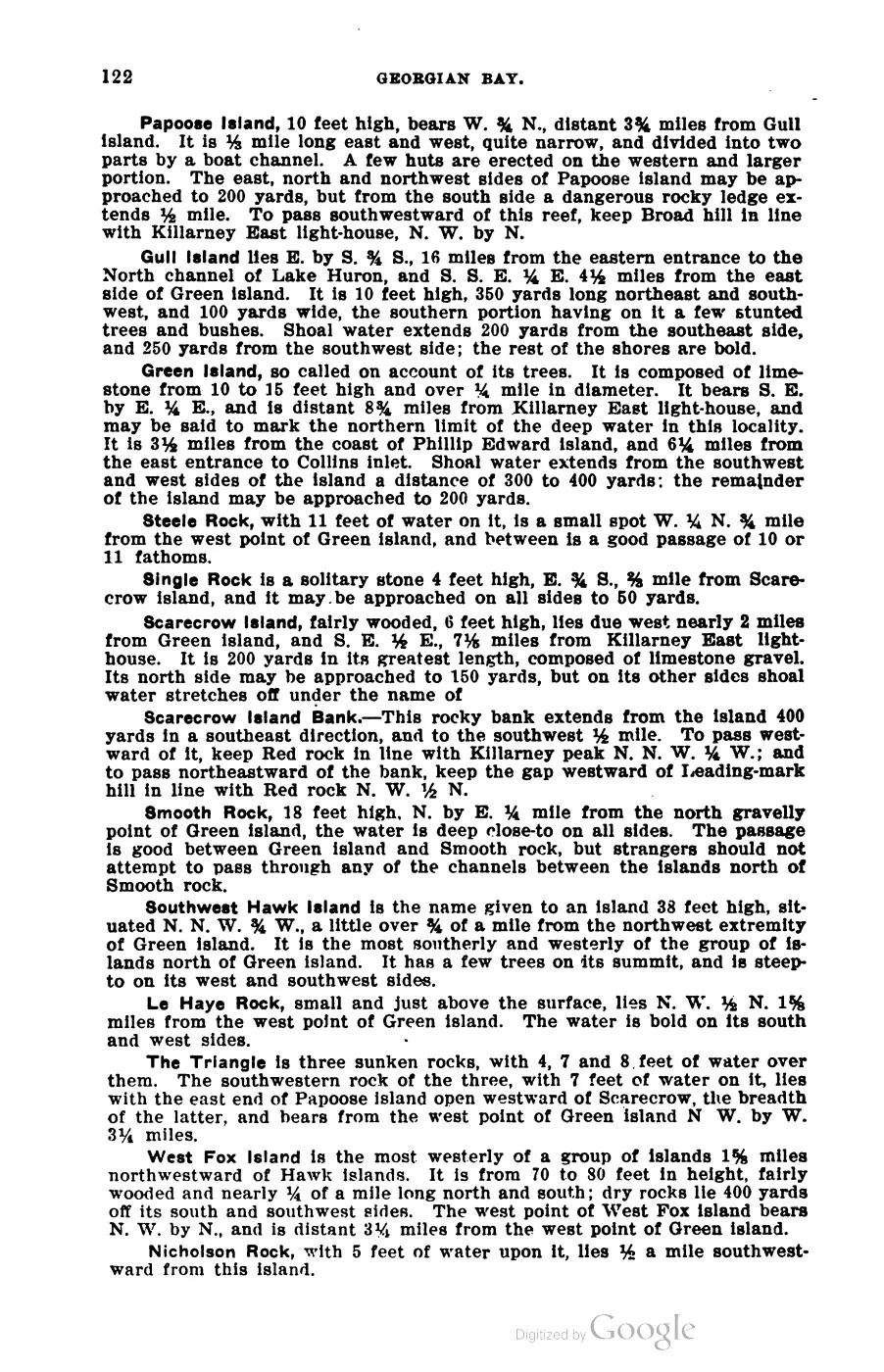
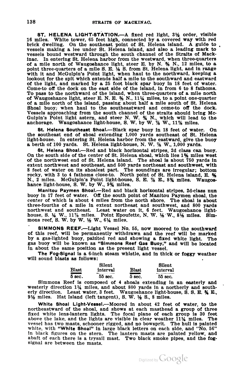
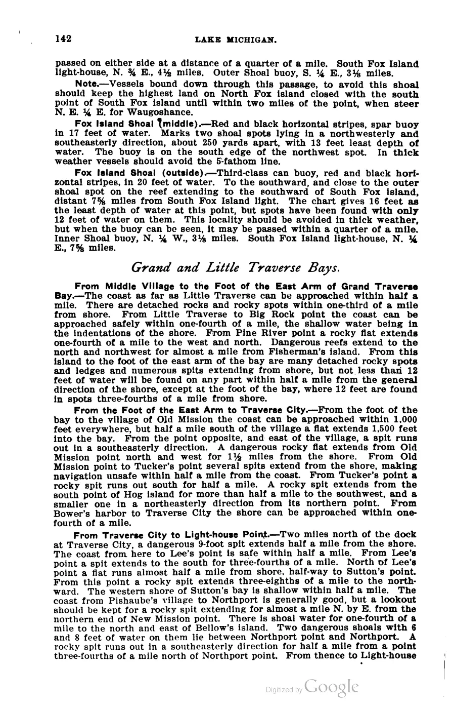
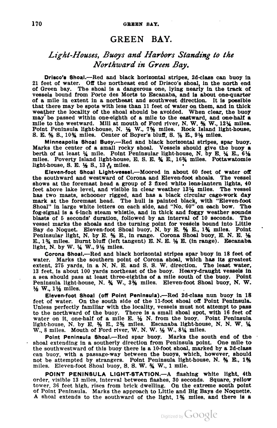
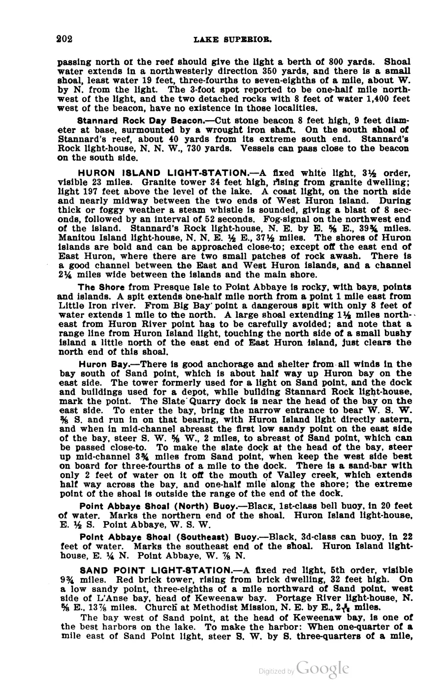
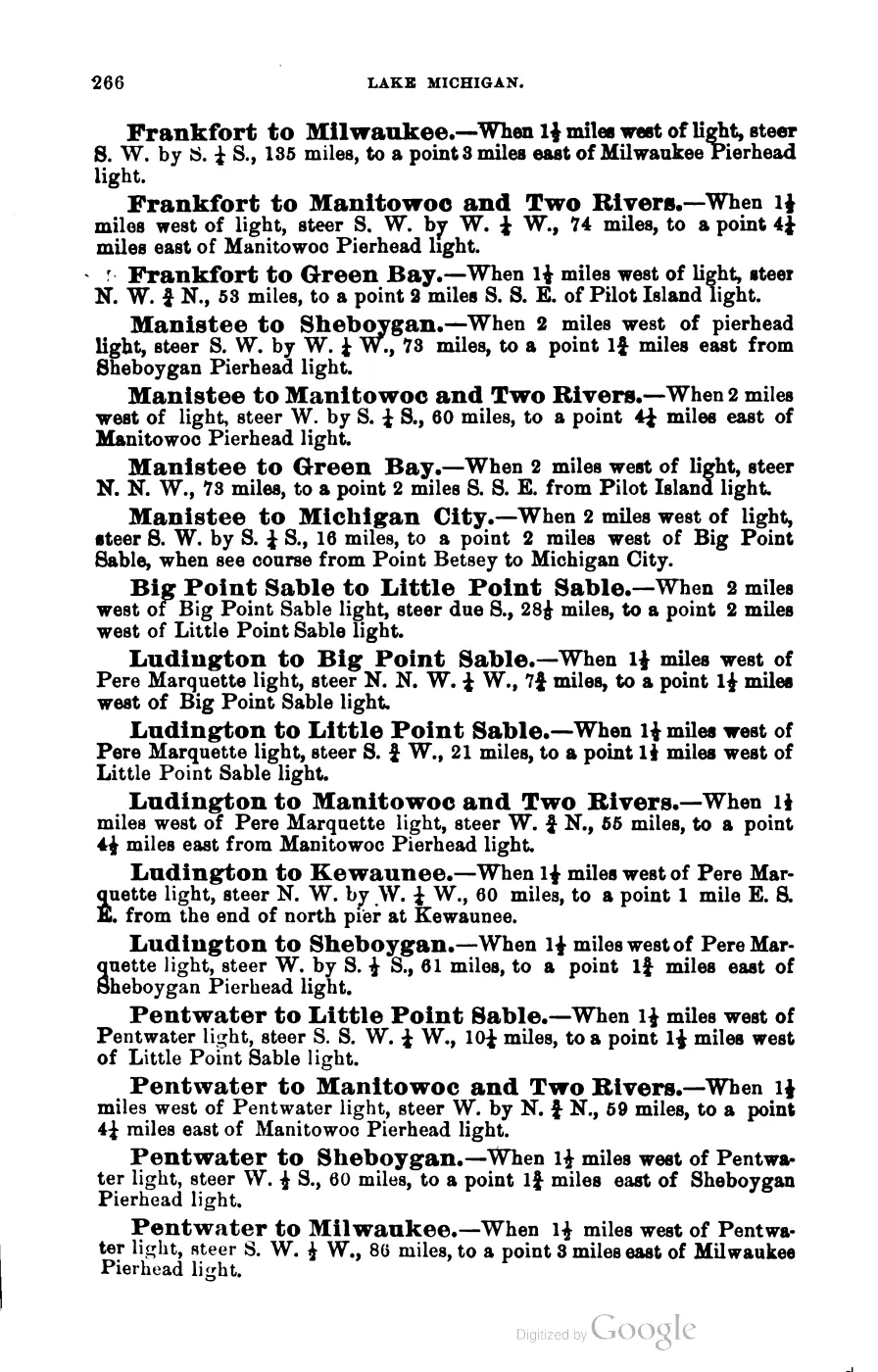
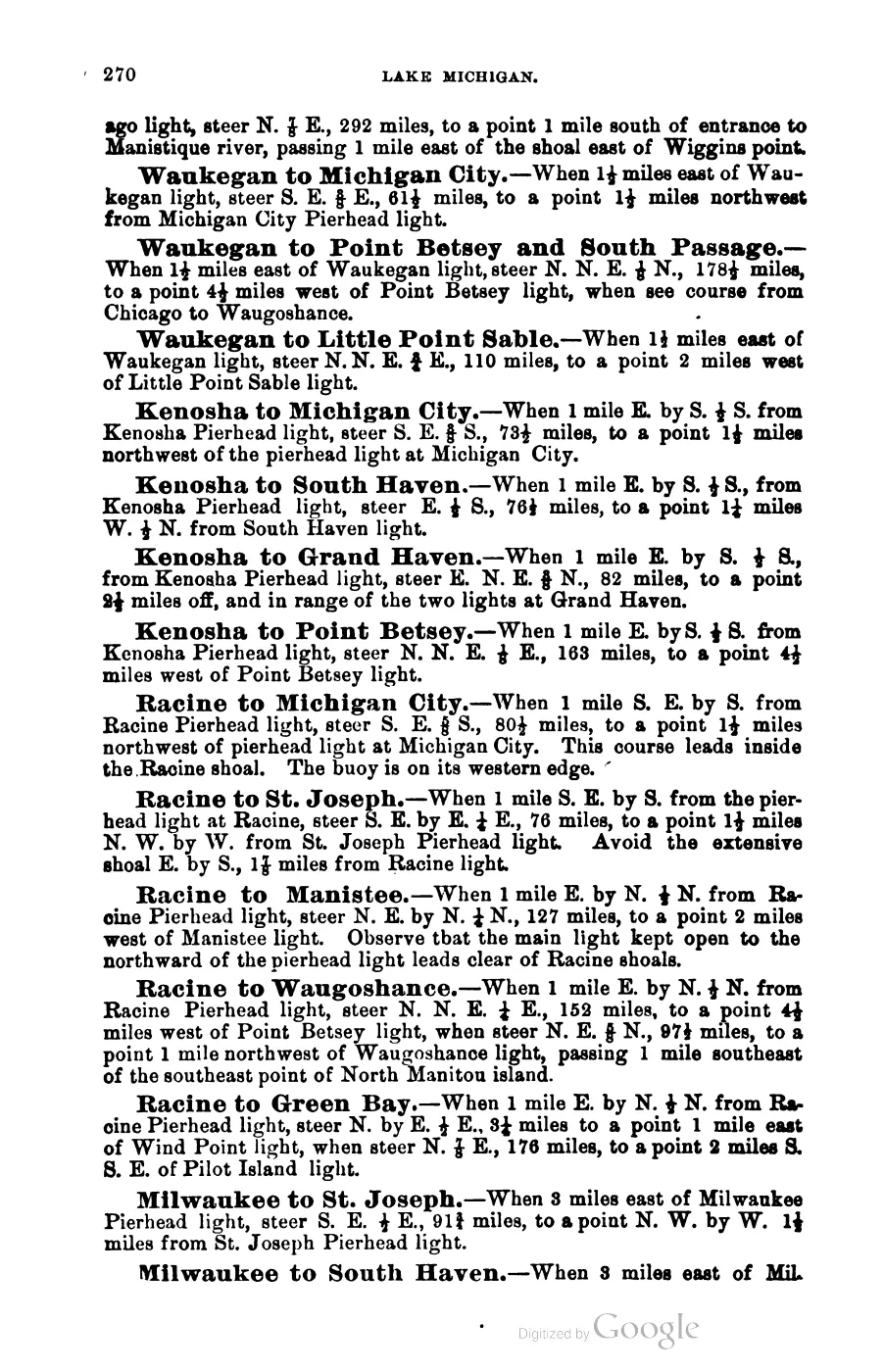
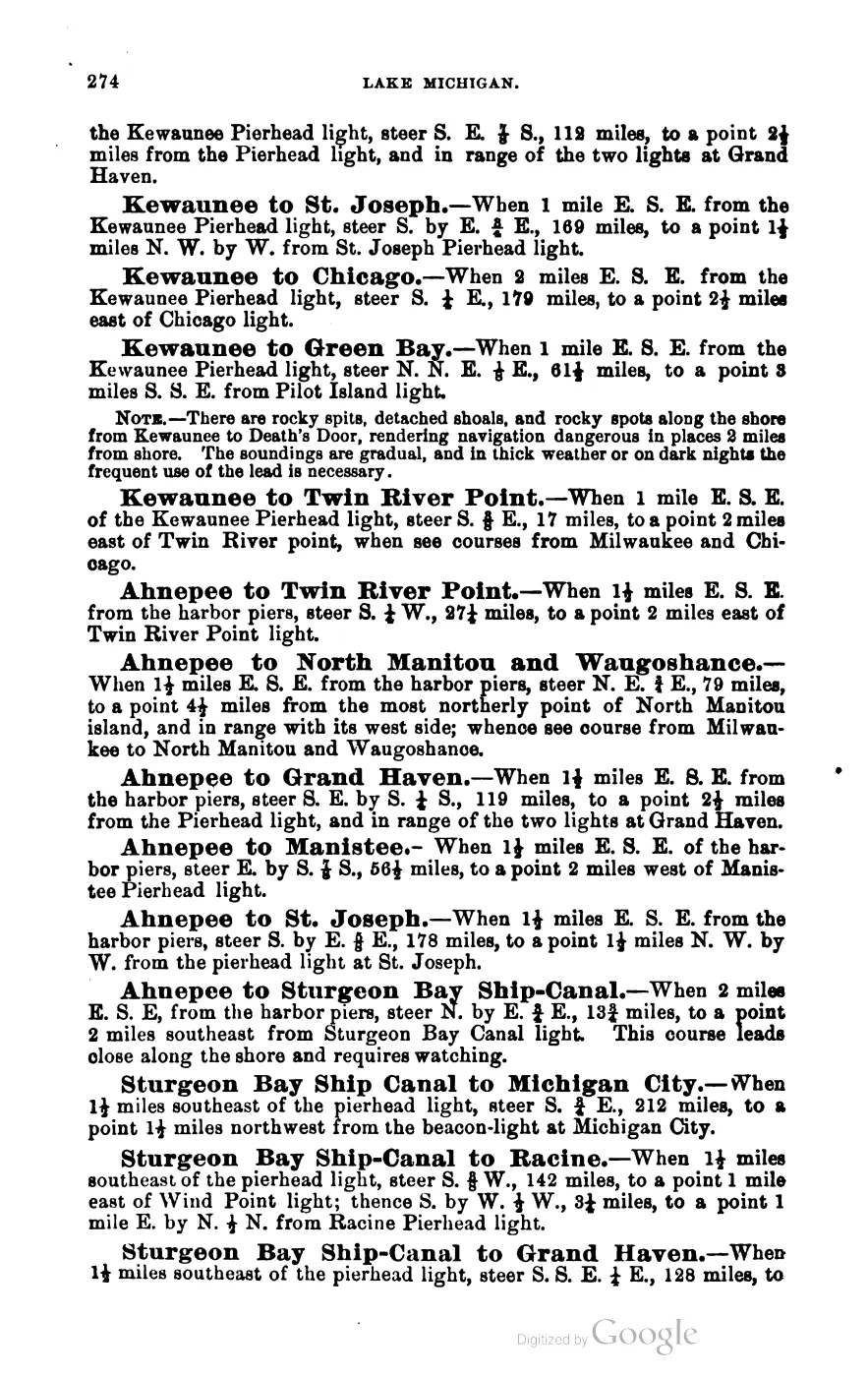
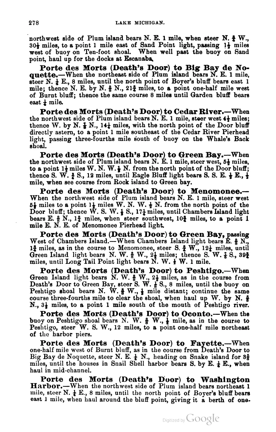
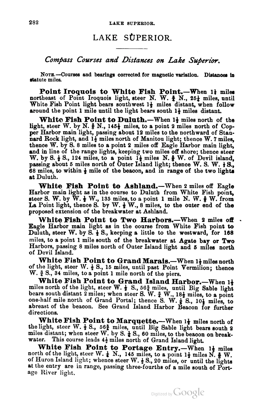
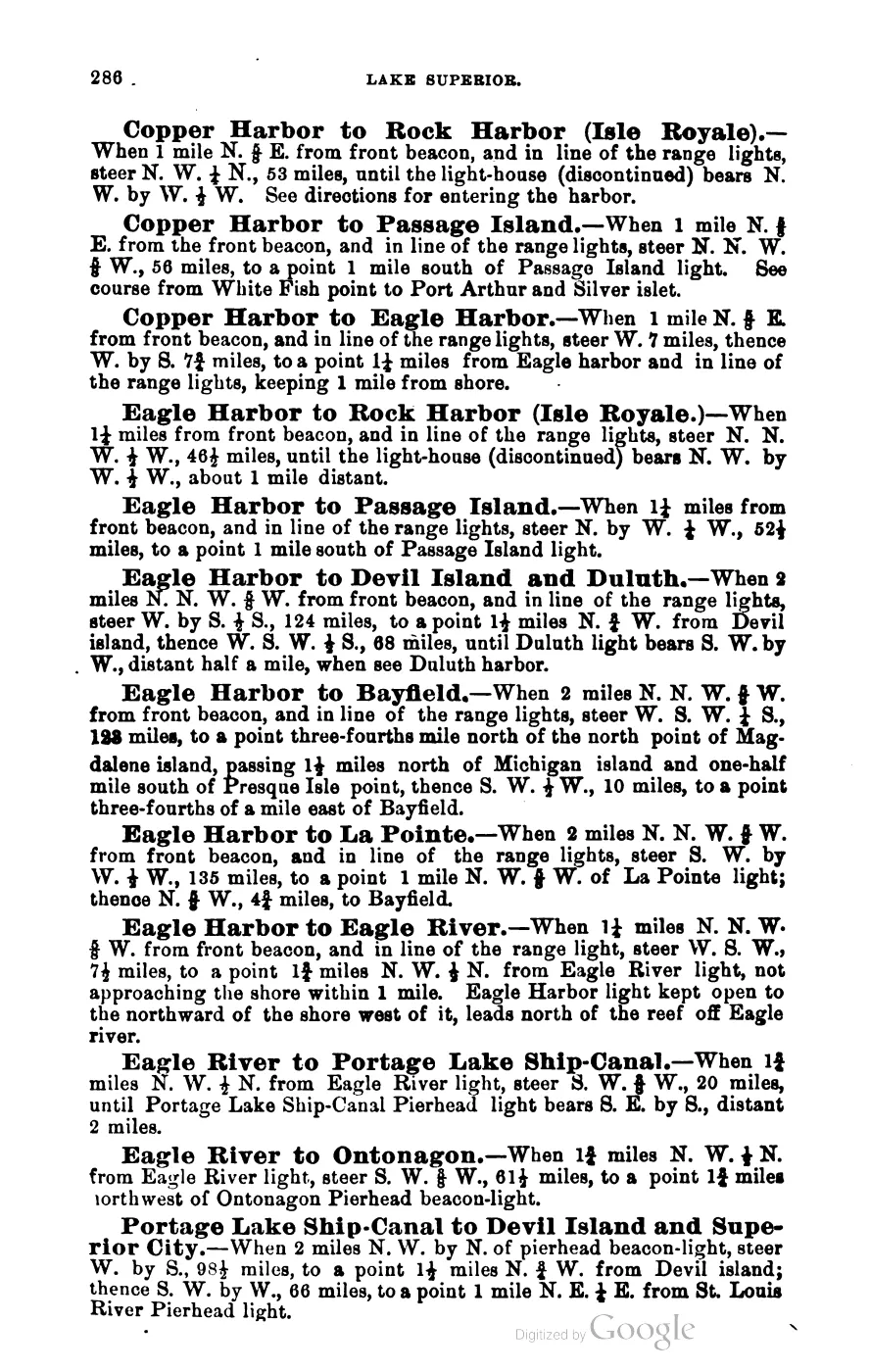
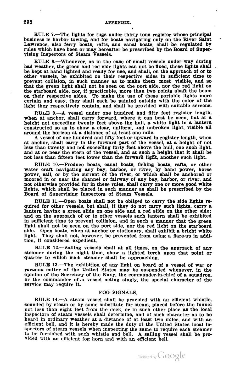
Scott’s New Coast Pilot for the Lakes (1902) makes the position explicit. It gives compass courses from Waugoshance and St. Helena to Green Bay, to Poverty Island Passage, to Sturgeon Bay, to the South, Middle and West Passages down the lake, and to Beaver Island Harbor itself — and it treats the choice of side as a weather decision:
The route from St. Helena and Waugoshance to Green bay north of the Beaver group, will be found very convenient when blowing hard from the northward. By taking this route vessels can keep in smooth water. The distances are about equal.
Two passages of equal length, one sheltered, is a good short description of why the group mattered. The book also gives the anchorages. Of Beaver Island itself:
There is good anchorage in the bight on the east side of the island, and protection from all westerly gales. Large sailing vessels prefer it to Beaver harbor, on account of having more sea room to get away.
High Island’s north-east bay is described as good holding ground with protection from all winds except the south. Gull Island Reef gets its own entry as “This very dangerous shoal, with only 5 feet of water”, four miles from the south point of Gull Island; Hog Island Reef, Whiskey Island Shoal and Squaw Island Shoal are each buoyed and described.
The archipelago’s northernmost light is described as a turning point for the whole lake:
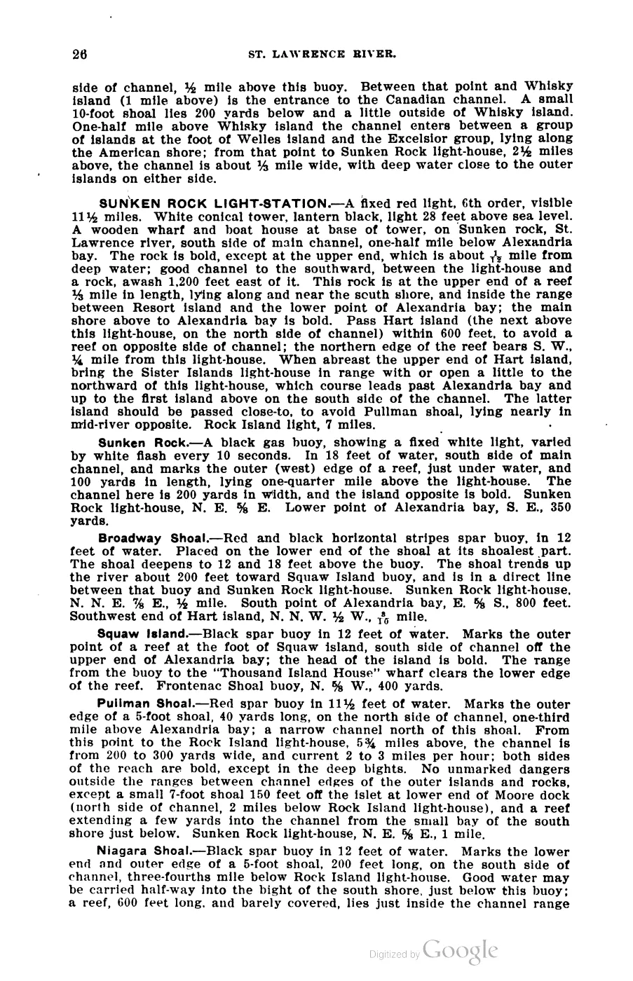
SQUAW ISLAND LIGHT-STATION. … On the northerly end of Squaw island, the most northerly of the Beaver Island group. … A coast-light marks the turning point into Lake Michigan.
That island is Ojibwa Island today; see Strang's biblical toponyms for the renaming and the search trap it creates.
The harbour
Saint James Harbor is the reason the island was settled at all. Strang’s 1854 gazetteer describes it as
the best in the Lakes, having an entrance eighty rods wide, with sixty feet water, a perfectly land-locked cove of great depth, with clay bottom, sufficiently extensive to accomodate a thousand vessels.
The claim is a promoter’s, but the underlying judgment is repeated by disinterested observers for the next sixty years — the Rock Island Argus in 1912 calls it “the best land-locked harbor along the entire lakes”.
Wooding stations
Before coal, Great Lakes steamers burned wood, and they had to take it on somewhere. Beaver Island’s forest and its harbour made it a wooding station, and by the mid-1850s the trade was the island’s second business after fish.
Strang, 1854: at Saint James “the principal articles sold are fish and wood … Three large wharves are devoted to the wood business.” The new village of Galilee at the south-east end existed for this and nothing else — “The only business yet opened is that of getting out wood for steamboats. A large wharf has been built for that purpose.”
The Daily Northern Islander of 1856 gives the market in operation:
Steamboat wood, near the wharves, sells at $1,75 to $2,00, and the quantity is larger than any past season, and of excellent quality. Down till this time the price has been $2,25 for the best quality of seasoned beech and maple steamboat wood. The sales at Galilee have amounted to more than 50 cords a day.
Advertisements in the same issues offer 3,000 cords of “best body wood, beech and maple” at Galilee, and describe an extended “wooding wharf” — the Old South Pier — “stocked with the largest and best stock of steamboat wood ever offered along the Lakes”. The same paper carries the steamer Michigan, Capt. Stewart, advertising regular trips “from Buffalo to Green Bay, stopping at Saint James and Galilee, on Beaver island”, carrying the United States mails.
Elizabeth Whitney Williams describes the seasonal rhythm from the other side of the Strangite/Gentile line: “In winter the cord wood was chopped and brought to the docks for the steamers’ fuel during the summer.” Her family’s neighbour Alva Cable “put out a good dock, built a large dwelling and store, carrying on the wood business for many years, as well as having a fish market.”
The trade was consequential enough that Strang could argue it was pulling commerce away from Mackinac: steamboats “which formerly stopped at no place in the region except Mackinac, now stop more at other points than there.”
Charts
186 charts covering the archipelago are held here, spanning 1855 to 2024. Two are U.S. Lake Survey First Series sheets; the rest are later nautical charts. The earliest is:
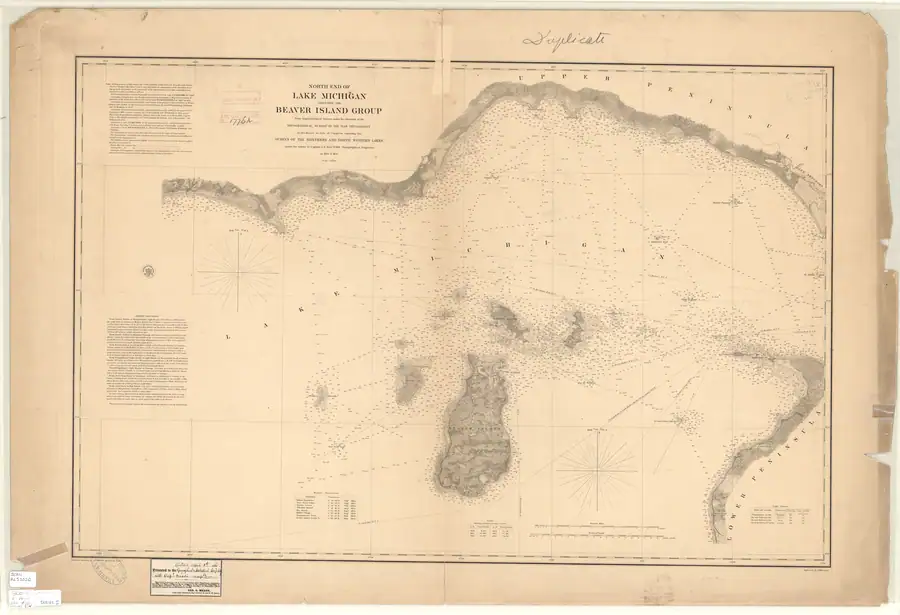
- 1855 — North End of Lake Michigan Including the Beaver Island Group, chart LS10, 1:120,000. Surveyed and issued while the Kingdom of Saint James was still standing, which makes it the only chart in the series contemporary with Strang.
Eight held, individually catalogued sheets now make a reviewable early-20th- century sequence: 1907 LSMa (1:120,000), 1911 LS72 (1:80,000), 1917 LS79 (1:80,000), 1923 LS79, 1928 LS79, 1929 LS79, 1931 LS79, and 1935 LS79 (each 1:80,000). The catalog establishes their dates, titles, scales, chart numbers, and coverage; it does not by itself establish a change in an individual light, shoal, sounding, or name. Those questions require a direct, edition-aware image comparison.
The series then continues 1863 (LS26, the north-east end of the lake including the Fox and Manitou groups), 1867 and 1880 (LS33, 1:400,000, Green Bay and the Straits), 1874 (Straits of Mackinac), and from 1895 onward at increasing frequency. Counted by decade of issue, the catalogue is thinnest in the 19th century and densest in the 1900s (24), 1930s (22) and 1960s (26) — a distribution that reflects chart-revision practice and NOAA’s digitisation coverage rather than any change in the islands.
Two things follow. The charts are a continuous record of how the group was represented over 169 years, so they are the right instrument for dating changes in aids to navigation, in soundings, and in names. And because a chart of this kind is revised rather than resurveyed, a name or a hazard can persist across editions long after the ground truth has changed.
Hydrography beyond the charts
A different kind of nautical evidence is also held: the USGS Open-File Report 03-120 bathymetry collection, based on 2001 SHOALS airborne lidar. Its metadata covers Boulder, Dahlia, Gull, High, Hog, and Trout reef or coastal areas, including several features in and around the archipelago. The data can support questions about reef morphology, depths, and habitat context that a printed sailing direction cannot answer.
The distinction is important. A historical chart and Scott’s Coast Pilot are navigation documents with aids, courses, anchorages, and warnings. The 2001 SHOALS files are technical survey data, and their own metadata says they are not intended for navigation. They are used here as survey evidence for the reefs and shoals, never as a substitute for a current chart.
Lights, signals and rescue
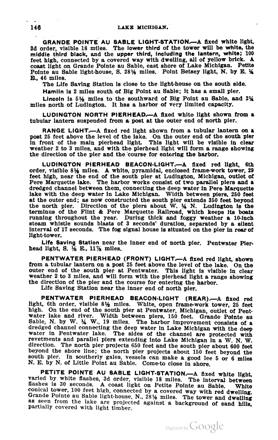
By 1902 the Coast Pilot records a dense system around the group: fixed lights with named characteristics at Beaver Island (a fixed white light with white flashes, on the 60-foot bluff at the south end, guiding vessels through the 9½-mile channel between Beaver and North Fox), Beaver Island Harbor (a fixed red light on the north side of the harbour entrance), and Squaw Island; the guiding lights at Skilligallee (Isle aux Galets) and Waugoshance on the mainland approach; light-vessels on White Shoal and Gray’s Reef; and steam fog-whistles with timed blast patterns at most of them. Buoys are listed individually with their bearings from the lights.
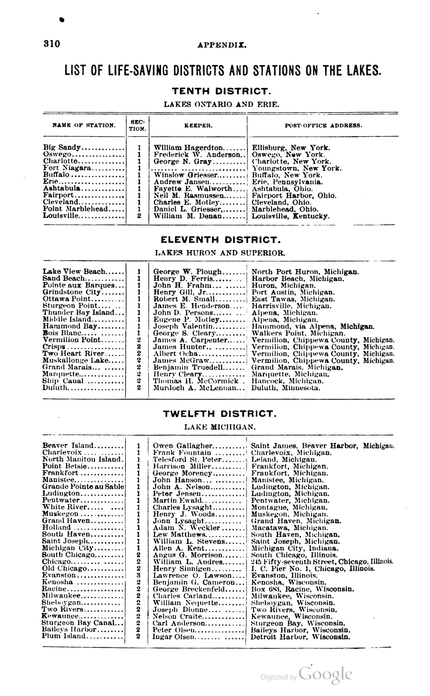
The Coast Pilot places the Beaver Island Life-Saving Station “about 165 feet west of light-house” at the harbour entrance, and its Twelfth District keeper table lists Owen Gallagher against the Beaver Island station. (That table’s columns interleave badly in the PDF text layer, so confirm the pairing against the page image before relying on it.) The Rock Island Argus in 1912 mentions “an antiquated life-saving station” in the village.
The December 1970 local accounts preserve a later Great Lakes shipping career that began in this Beaver Island setting. John Roen reached the island through Gus Mielke’s sawmill, cut timber there, and used the resulting Schnoton to haul fruit and pulpwood. The Courier separately calls the Marquis Roen his first boat built in Charlevoix in 1920, and traces the Fred W. Green, the Roen companies, and the 1944 salvage of the George M. Humphrey. These are source-bounded links between island lumbering and the wider shipping network, not a complete Roen fleet or company history.1
Open questions
- Where are the wrecks? The Michigan Underwater Preserve Council layer records 334 shipwrecks statewide and none in this archipelago, because the preserve system does not include Beaver Island. For a passage this heavily trafficked and this thoroughly reefed, zero is not a fact about the seabed; it is a fact about the dataset. A different source is needed — Great Lakes wreck registries, Life-Saving Service annual reports, or the marine columns of the Chronicling America papers.
- When did the wooding trade end? No source held here dates the transition to coal on this route. A traveller’s letter reprinted in the Bismarck Tribune in 1873 still describes a large cordwood pile on the dock worth $3 a cord (the quantity is illegible in the OCR); by 1912 the Argus describes a sawmill cutting lumber, not fuel.
- How do the 1855 chart’s soundings and names compare with the GLO plats and Farmer map? The chart title block, survey credit, light table, and sailing directions have been read from the held image; a full feature-by-feature transcription and comparison with the circa-1849 plat series remains open.
- Tonnage and traffic counts. Nothing held here quantifies how many vessels passed or called. Corps of Engineers annual reports on lake commerce would.
- The Life-Saving Station’s record. Its establishment date, service statistics and closure are not documented in the sources held here beyond Scott’s 1902 keeper listing.
See also
- Scott's New Coast Pilot for the Lakes
- North End of Lake Michigan Including the Beaver Island Group, 1855 Lake Survey chart
- General Land Office survey plats for the Beaver Island archipelago
- Saint James Harbor
- Gull Island Reef
- Ojibwa Island
- Beaver Island Light Station
- Beaver Island Harbor Light
- Squaw Island Light Station
- Beaver Island Life-Saving Station
- Commercial fishing
- Lumbering
- Strang's biblical toponyms
- Trout Island Shoal
Footnotes
-
Beaver Beacon, December 1970, “Legend Passes”; Charlevoix Courier, December 9, 1970, “Death Claims Captain.” ↩
Read the document
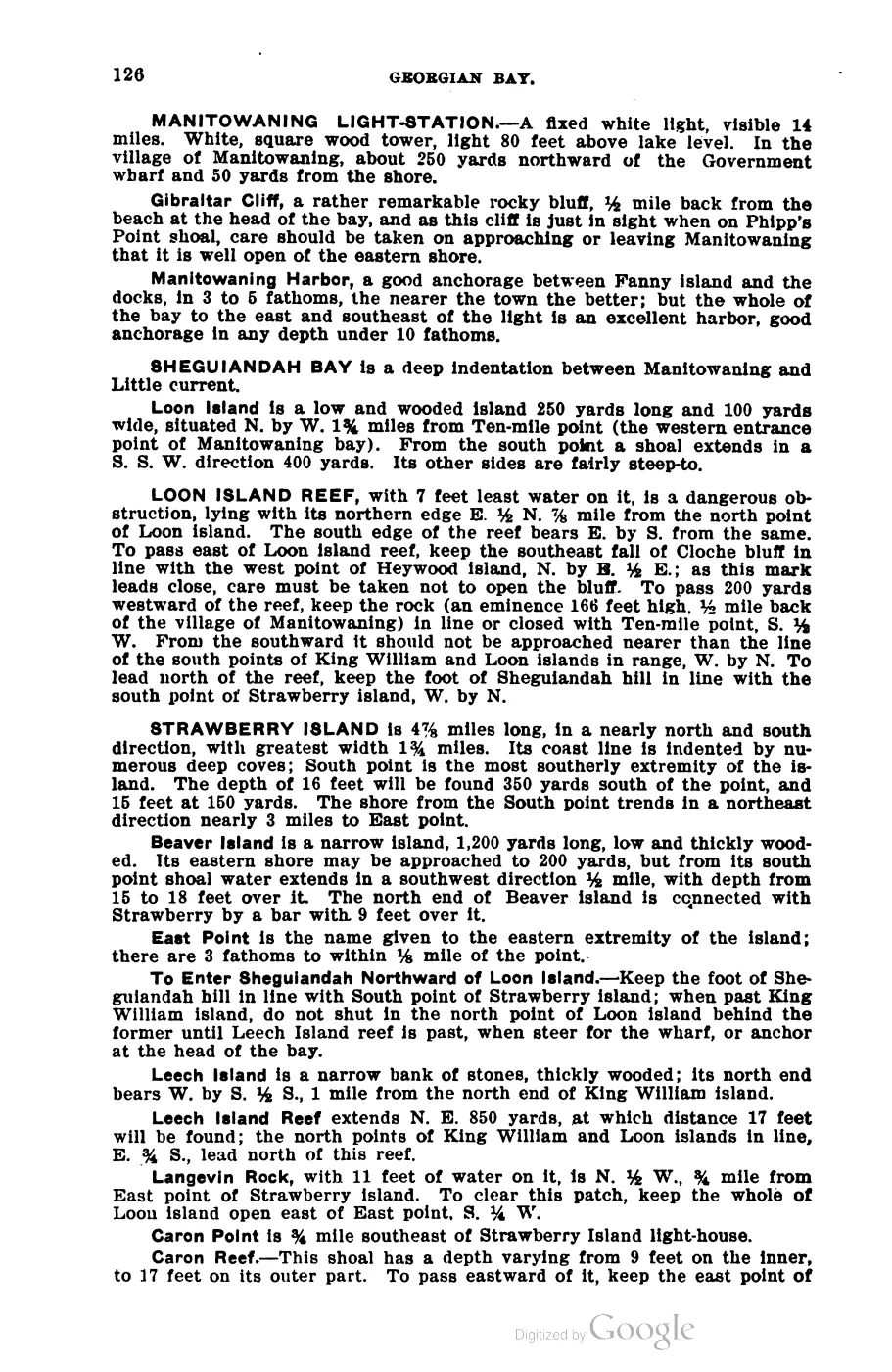
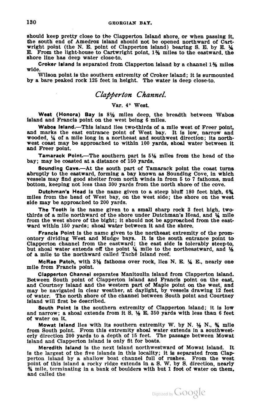
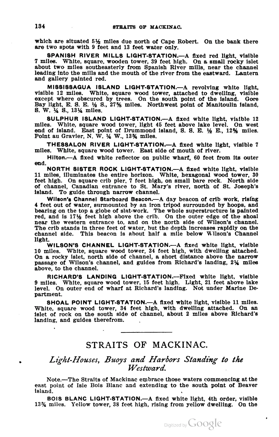
393 pages, rendered from the held scan.

Jump to a page — 393 in all








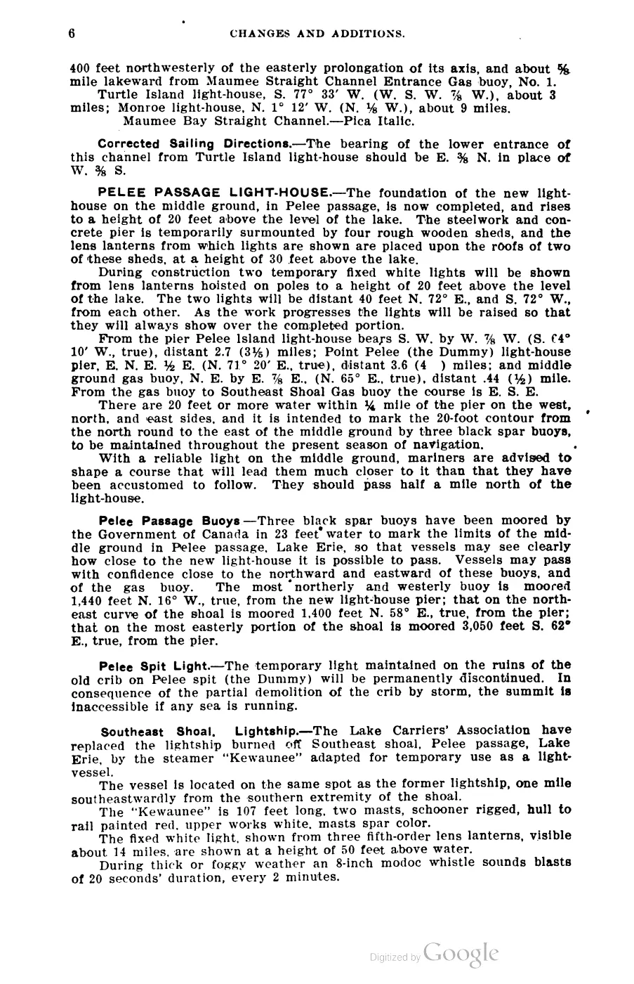
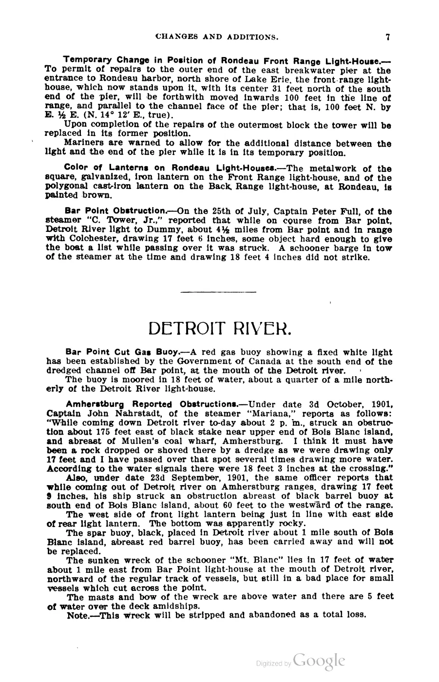
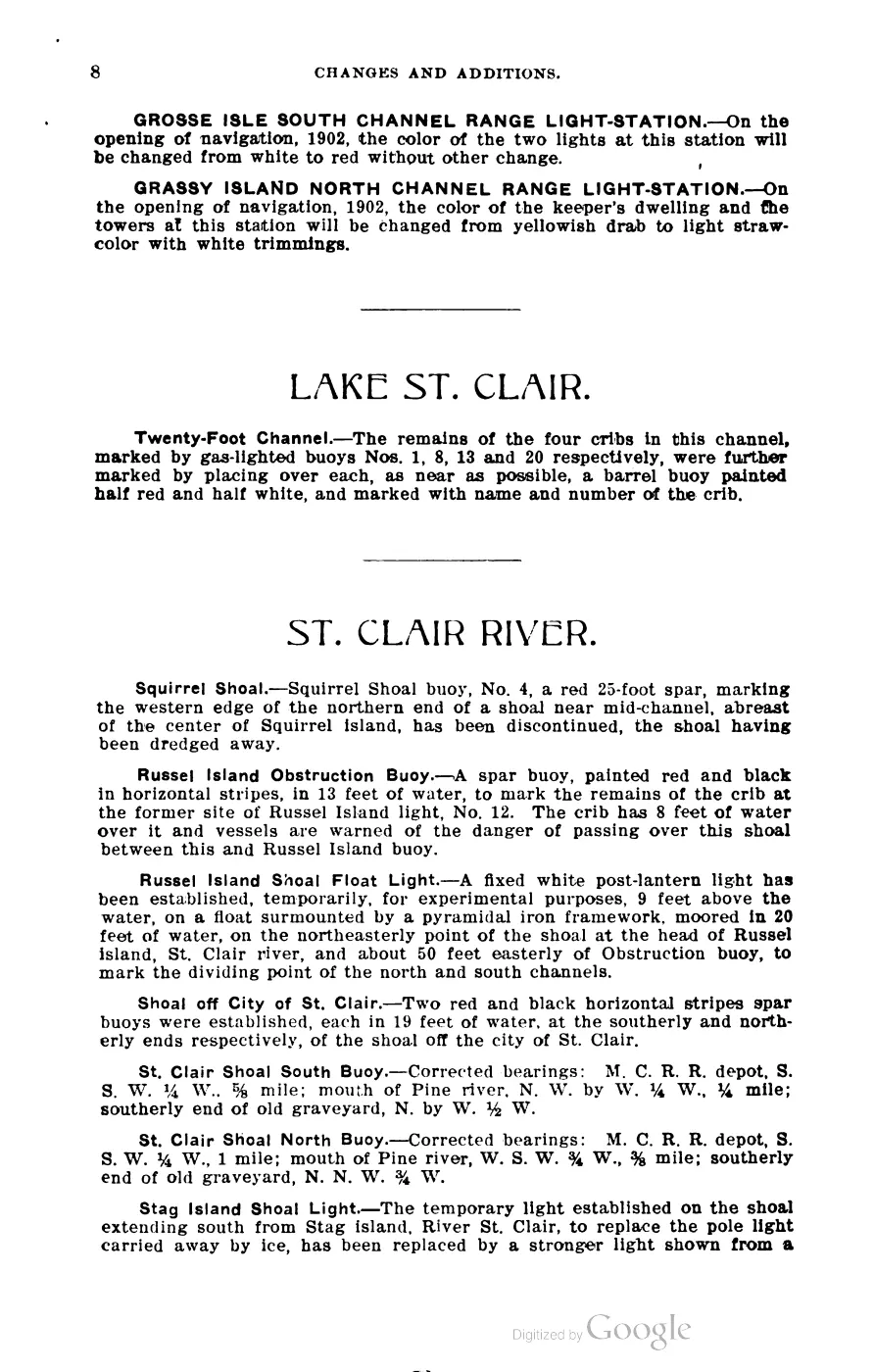
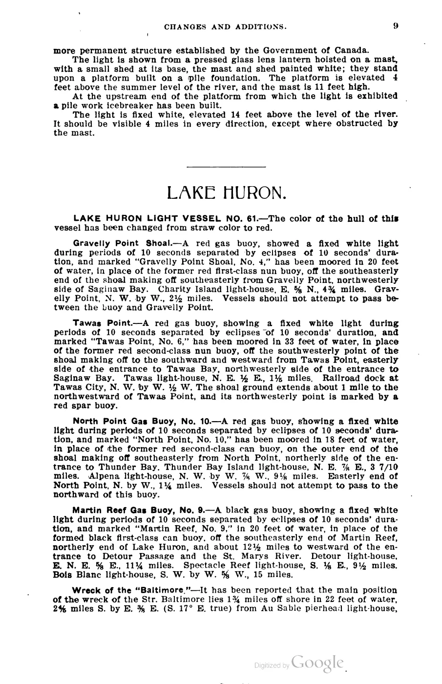
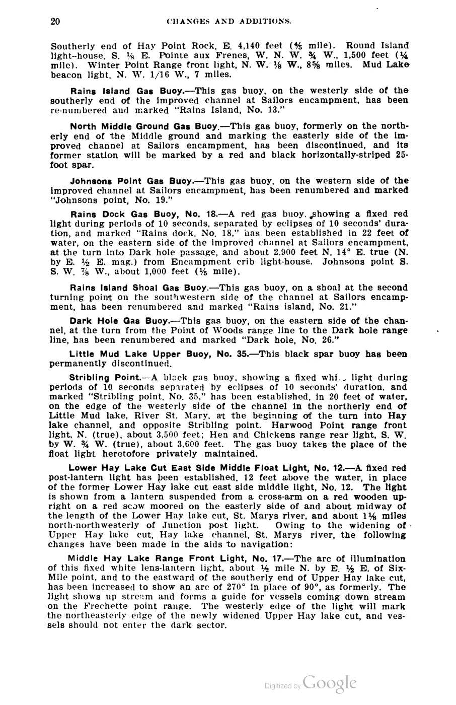
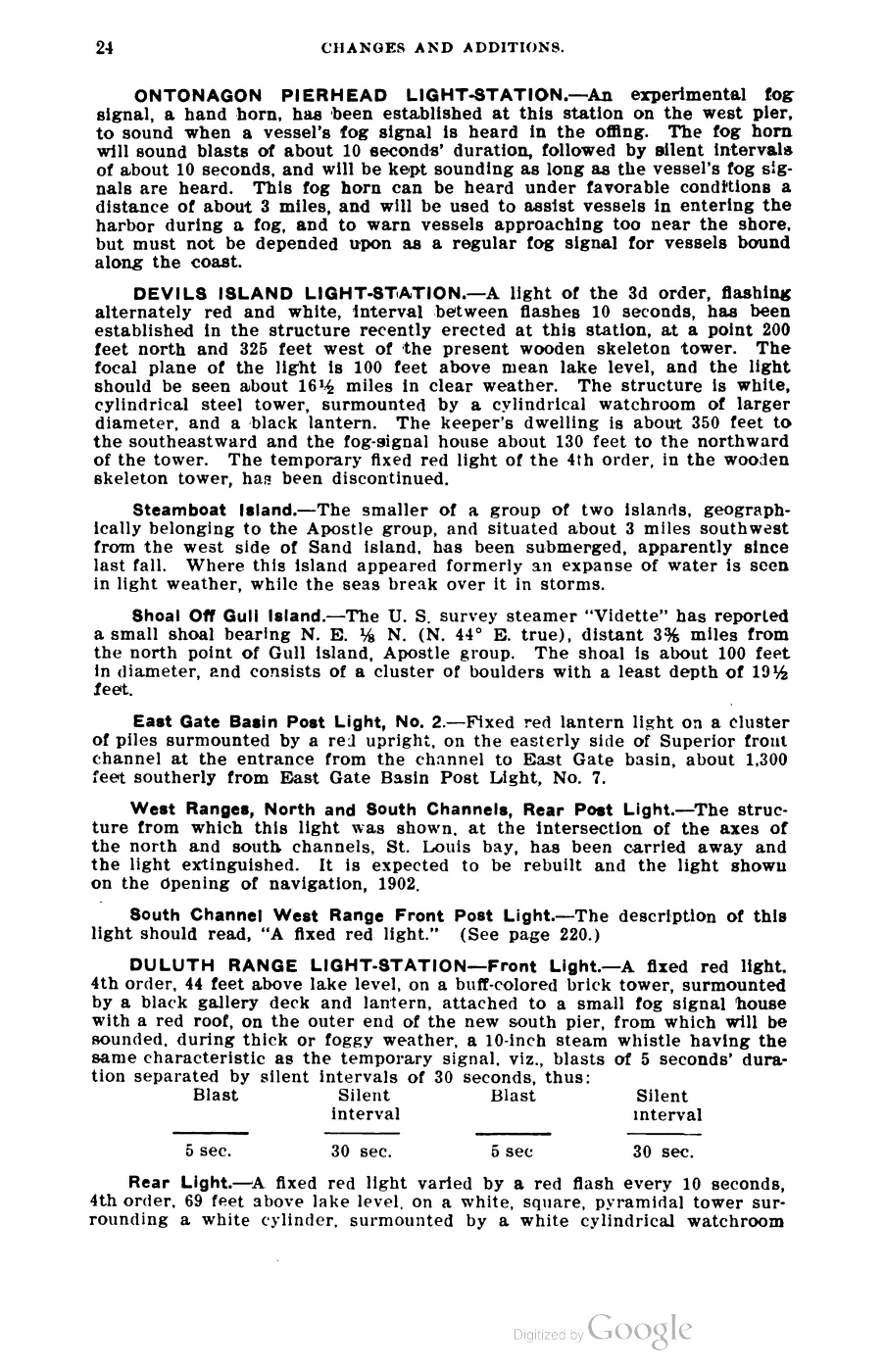

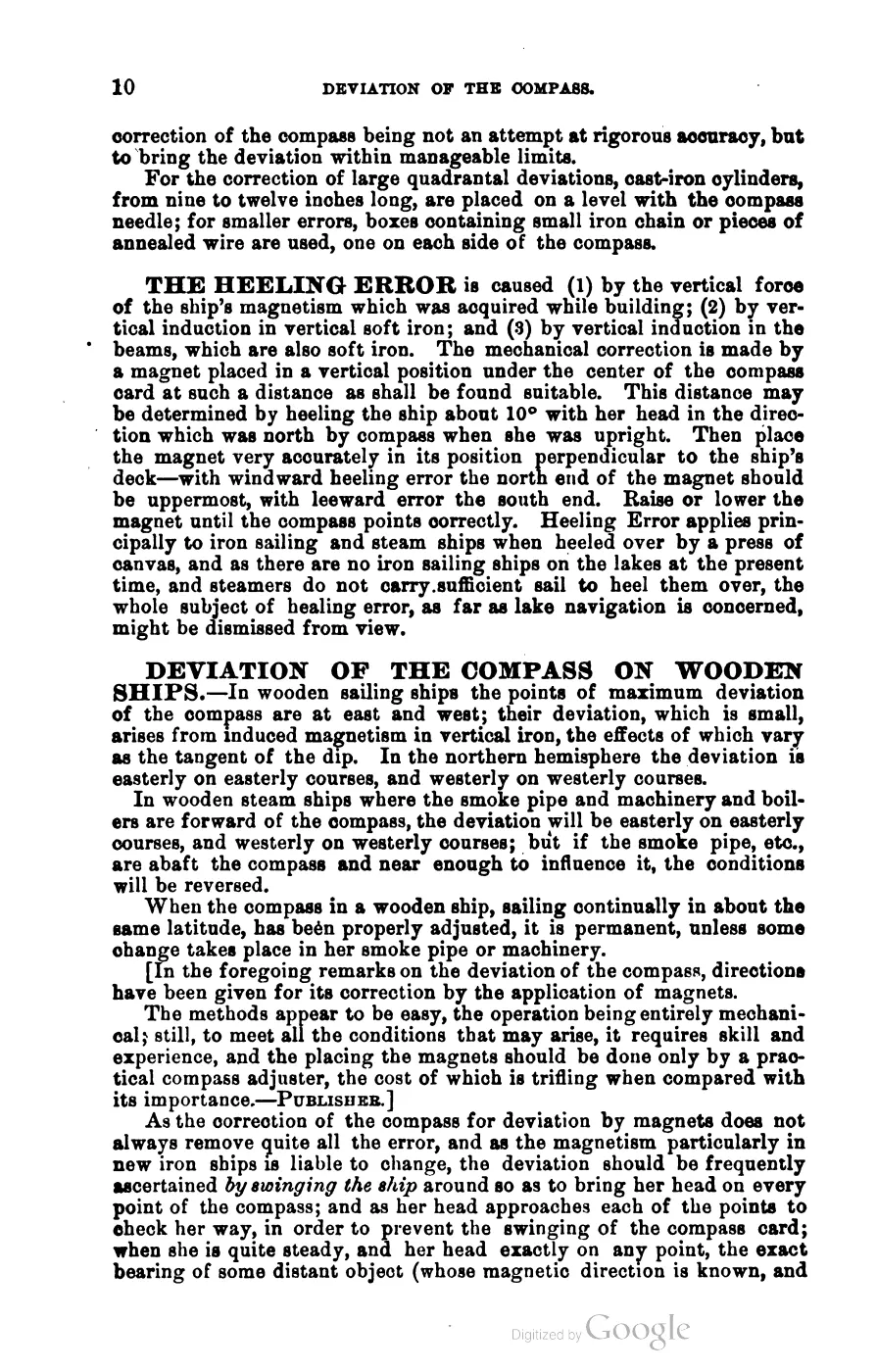
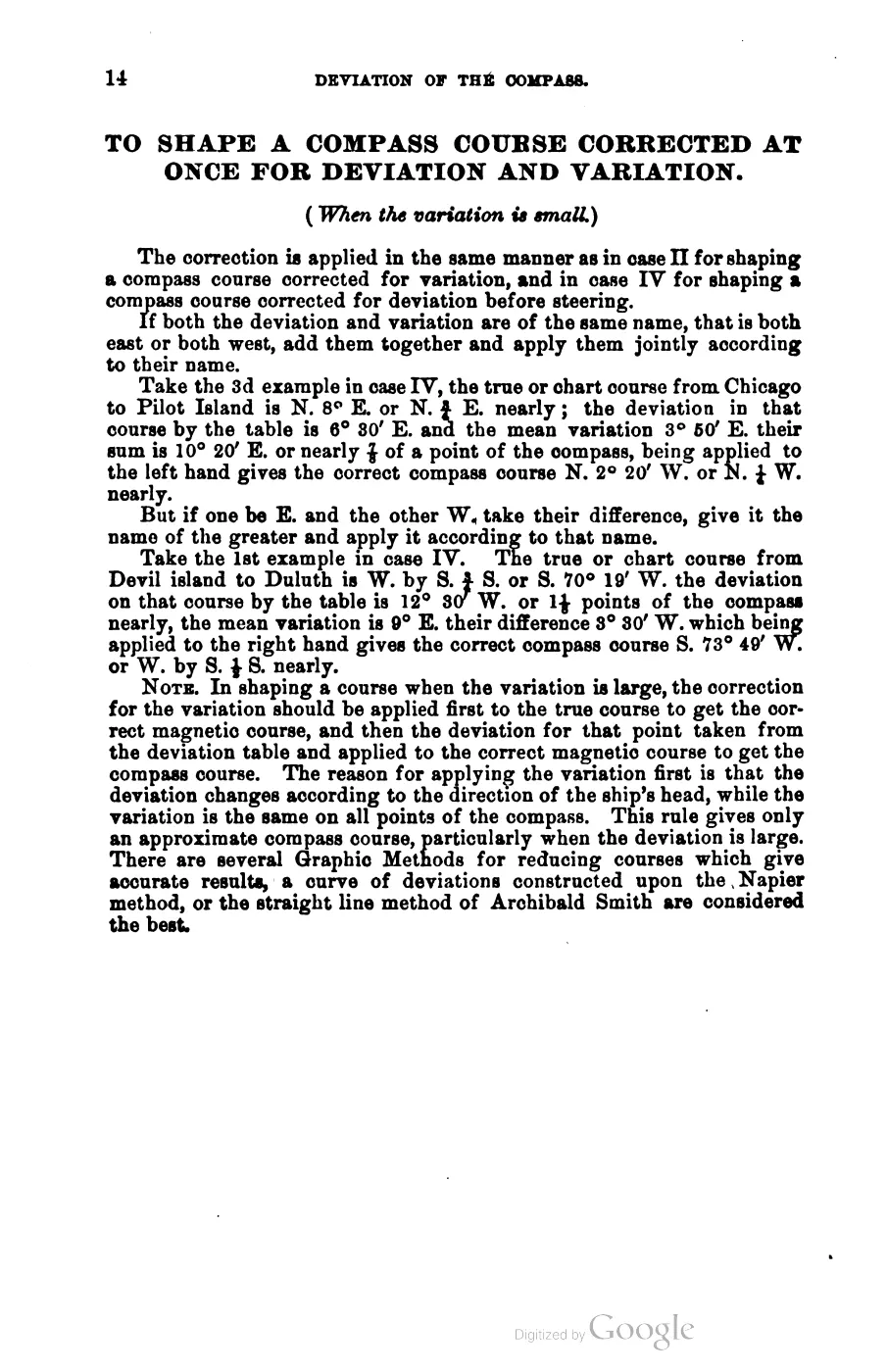
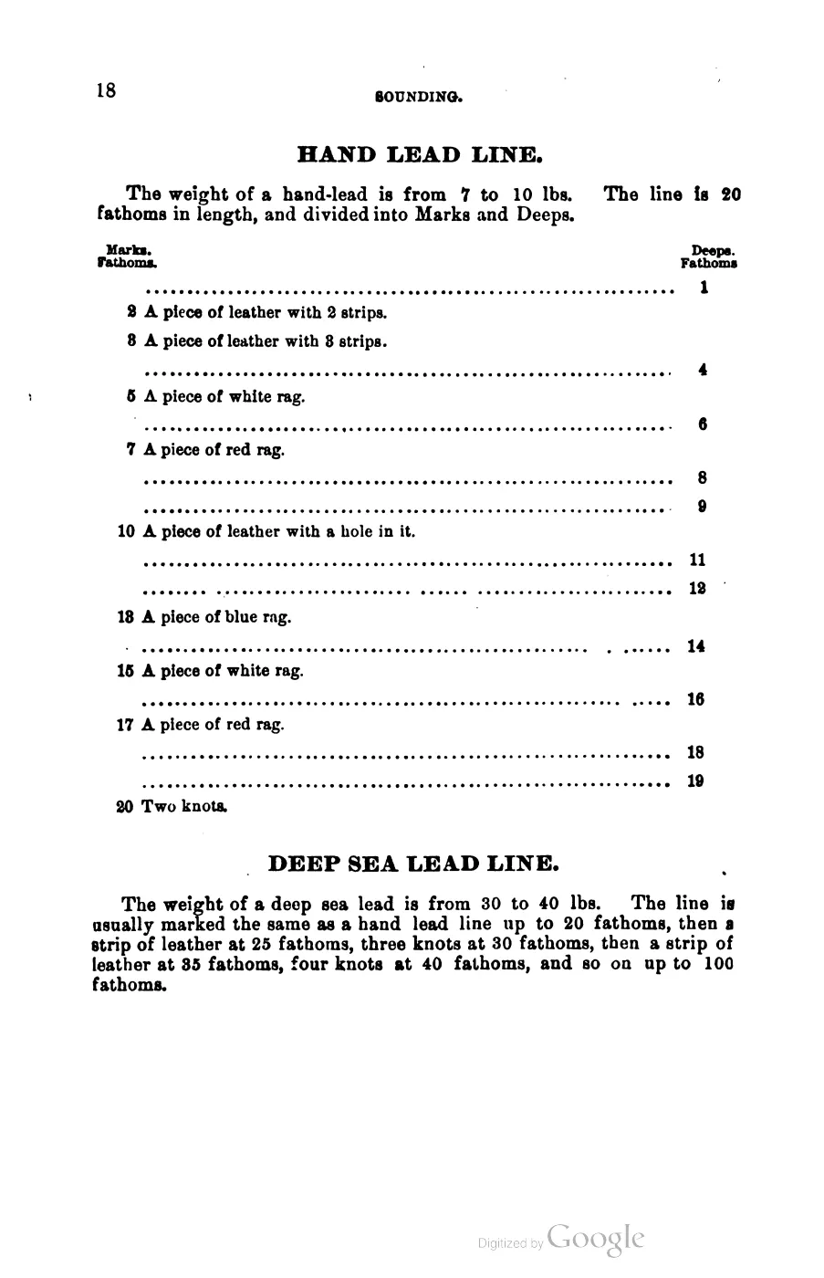
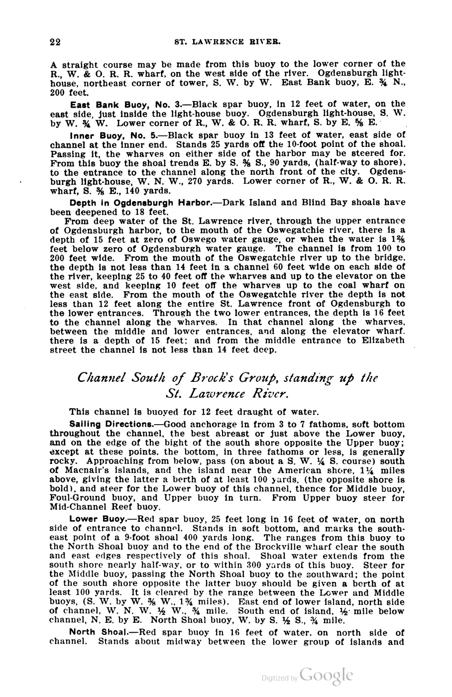
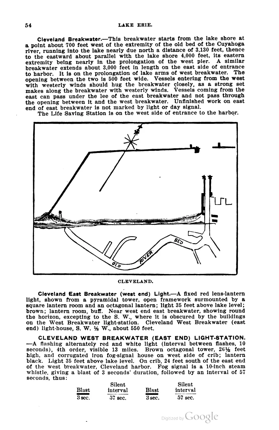
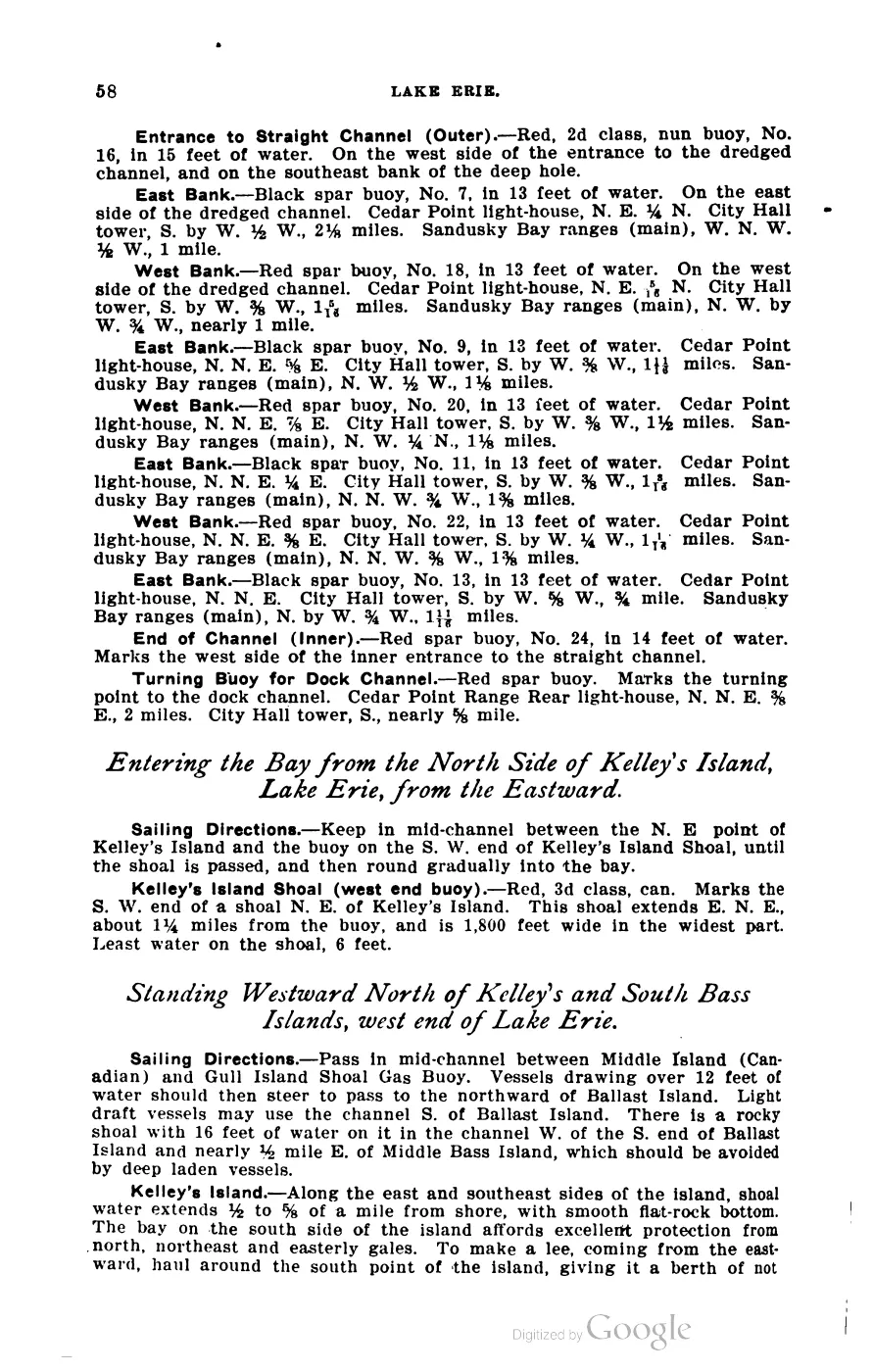
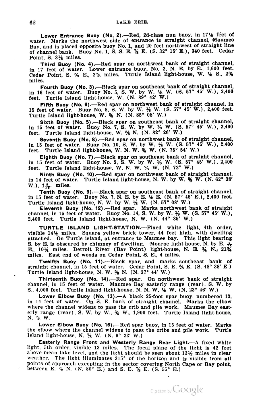
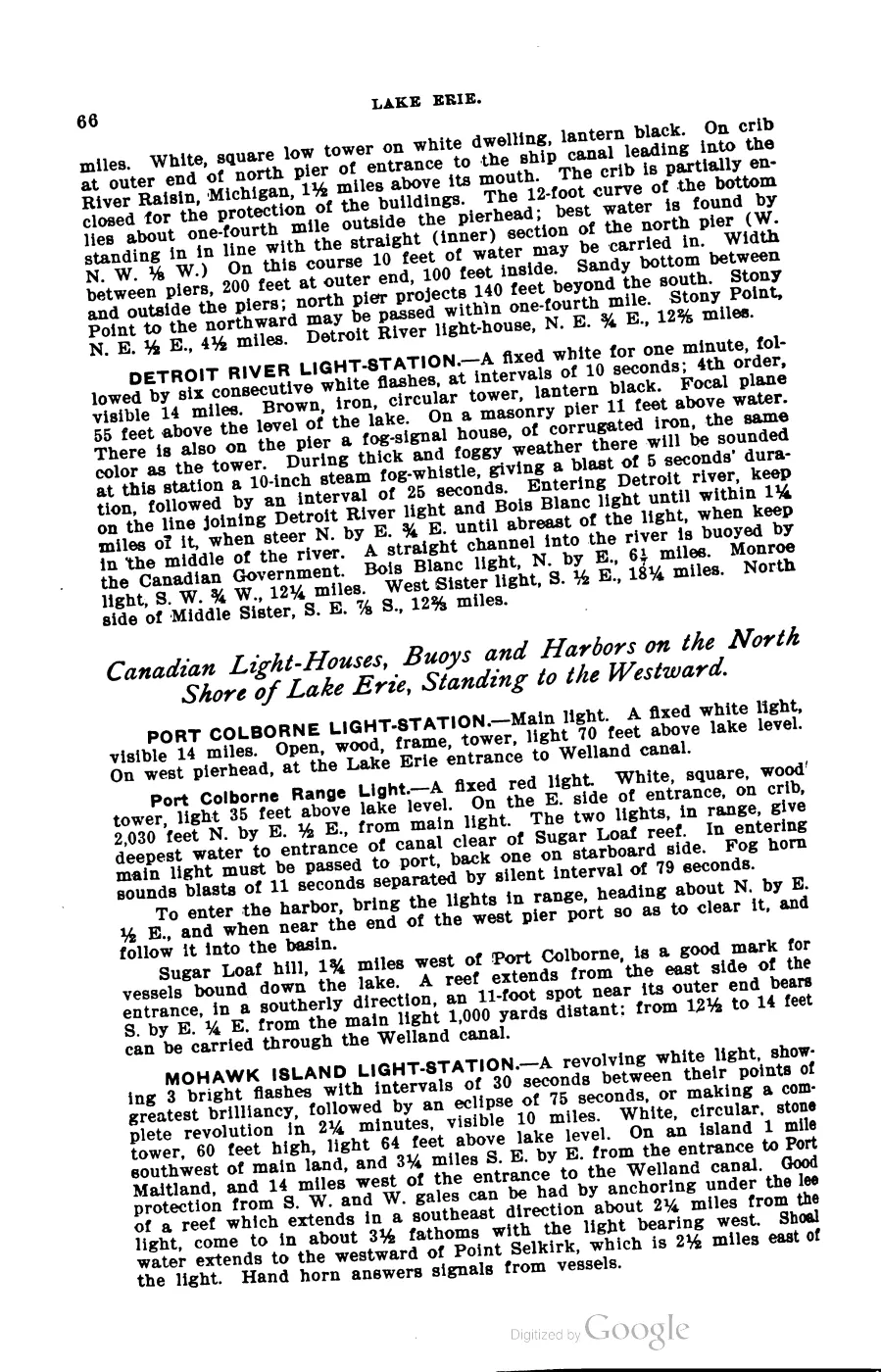
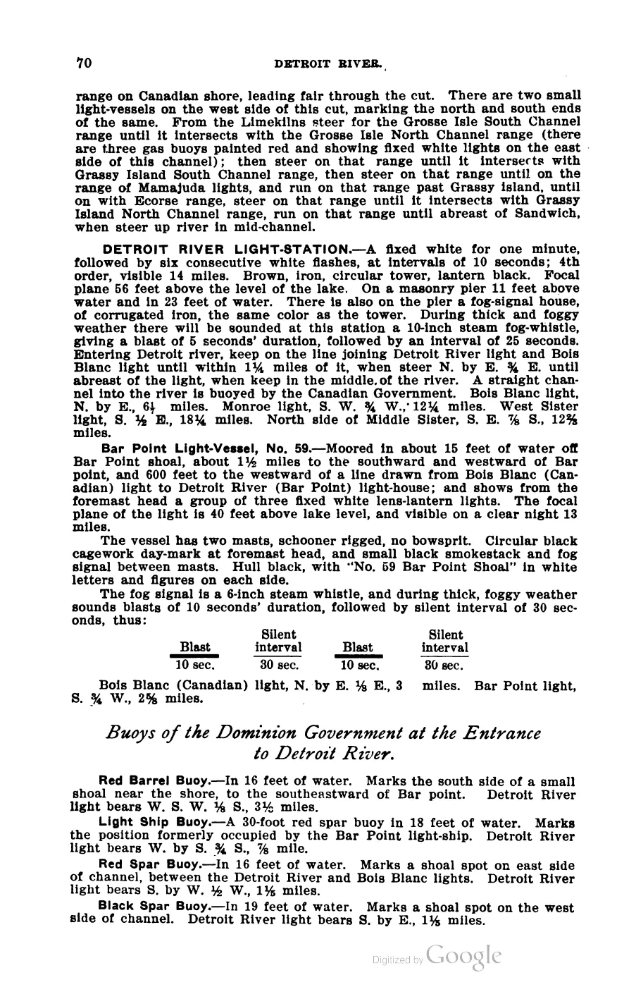
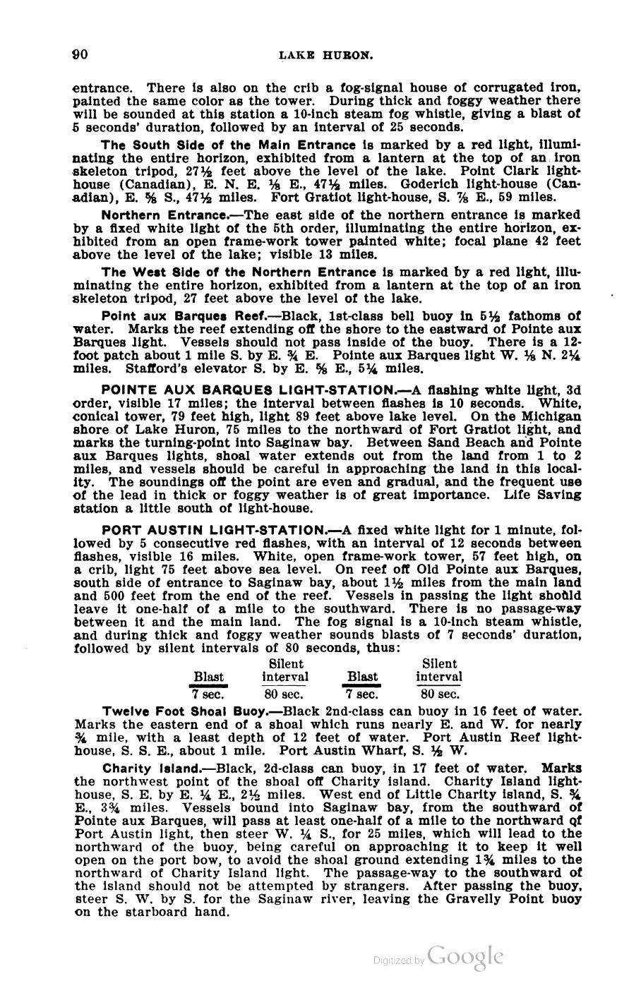
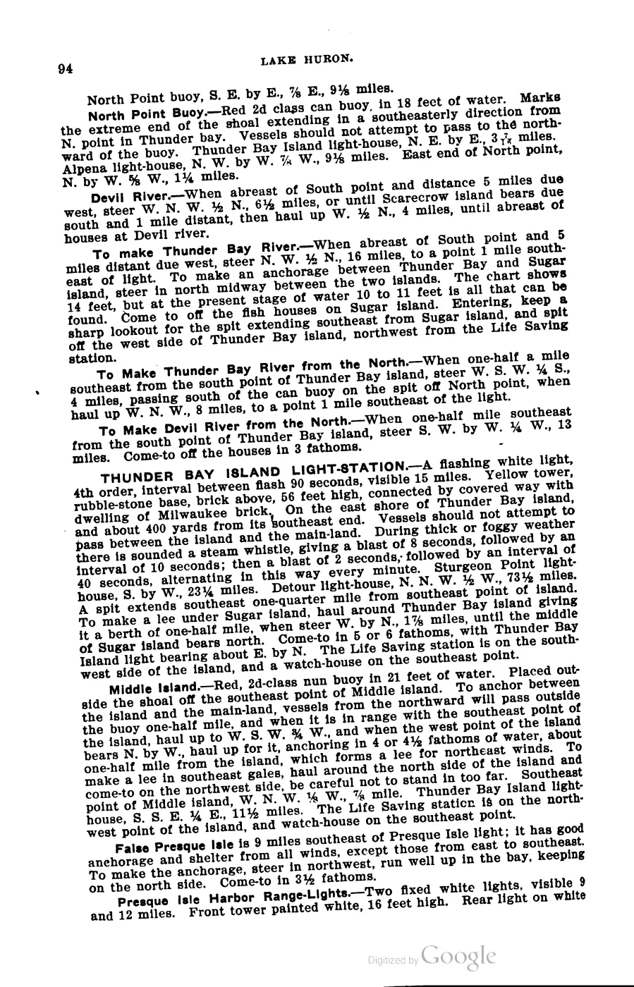
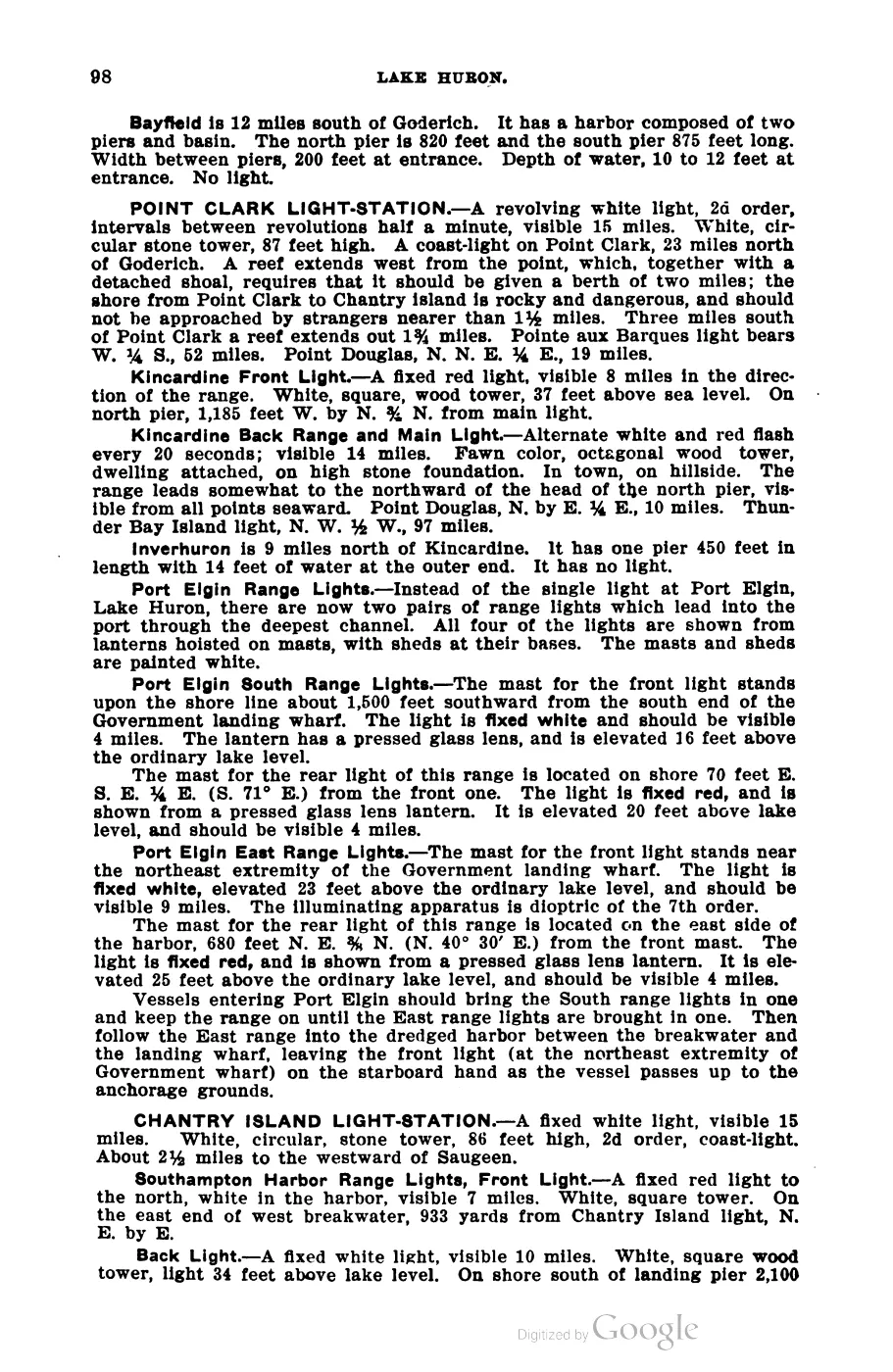
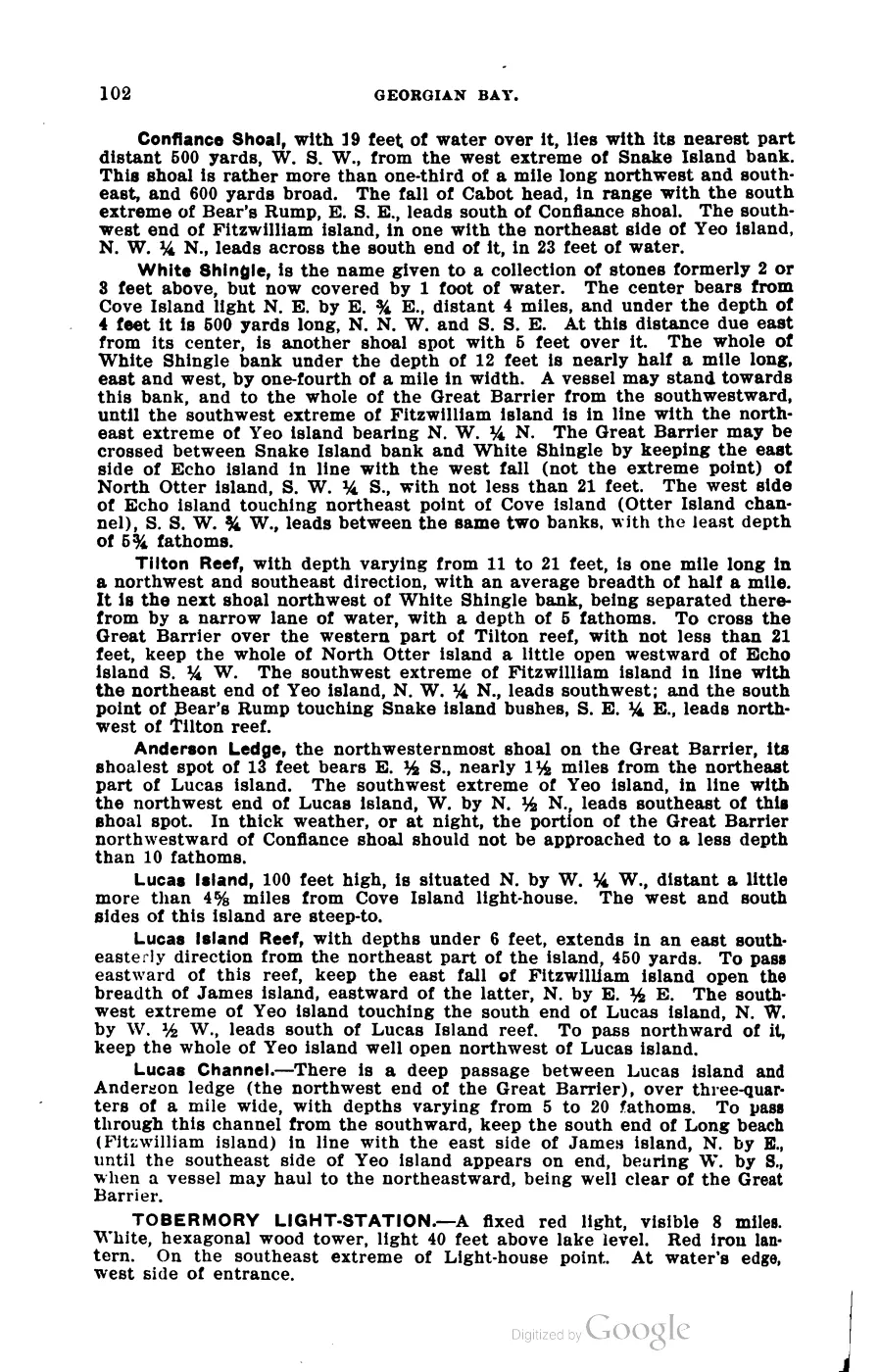
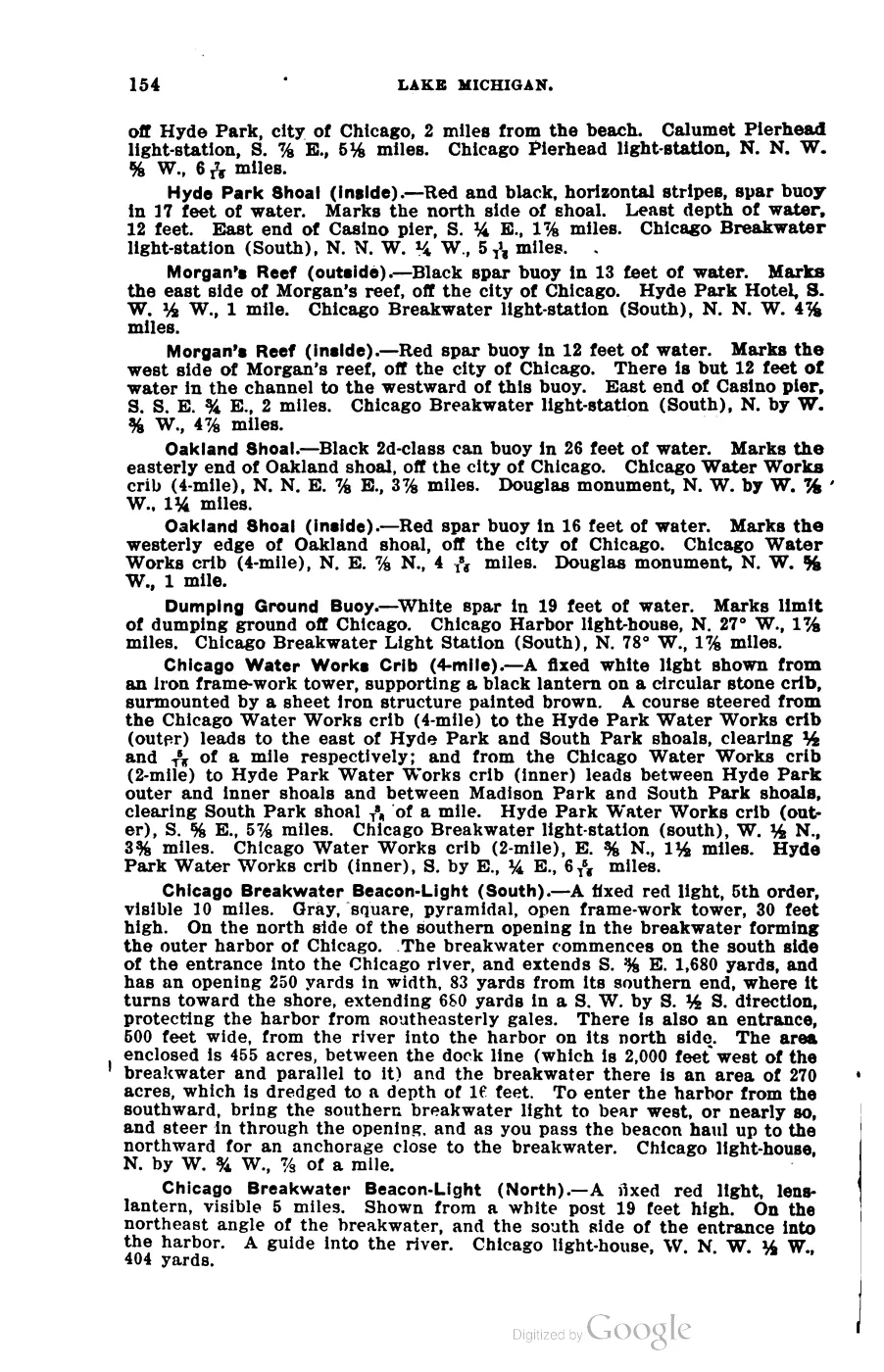
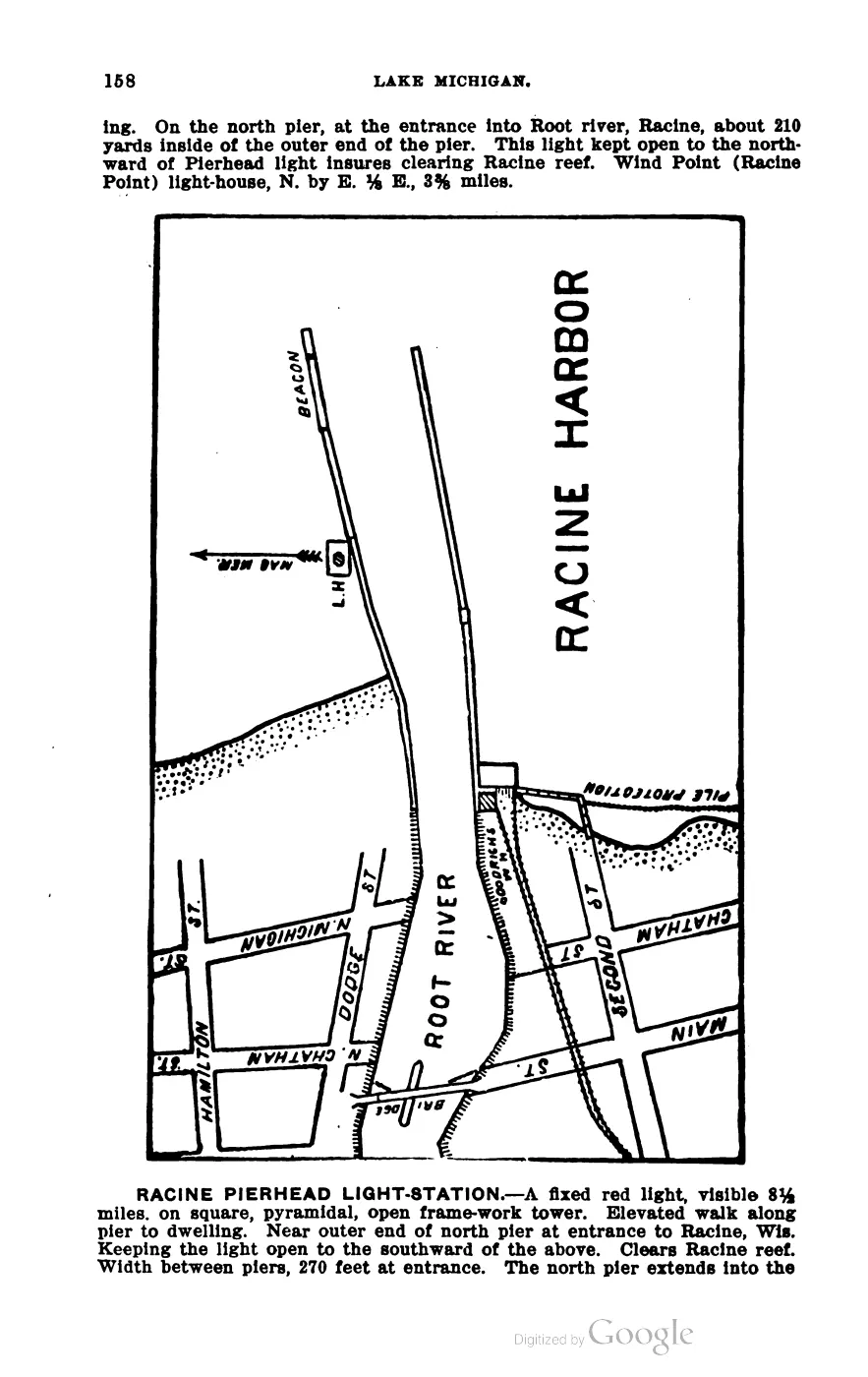
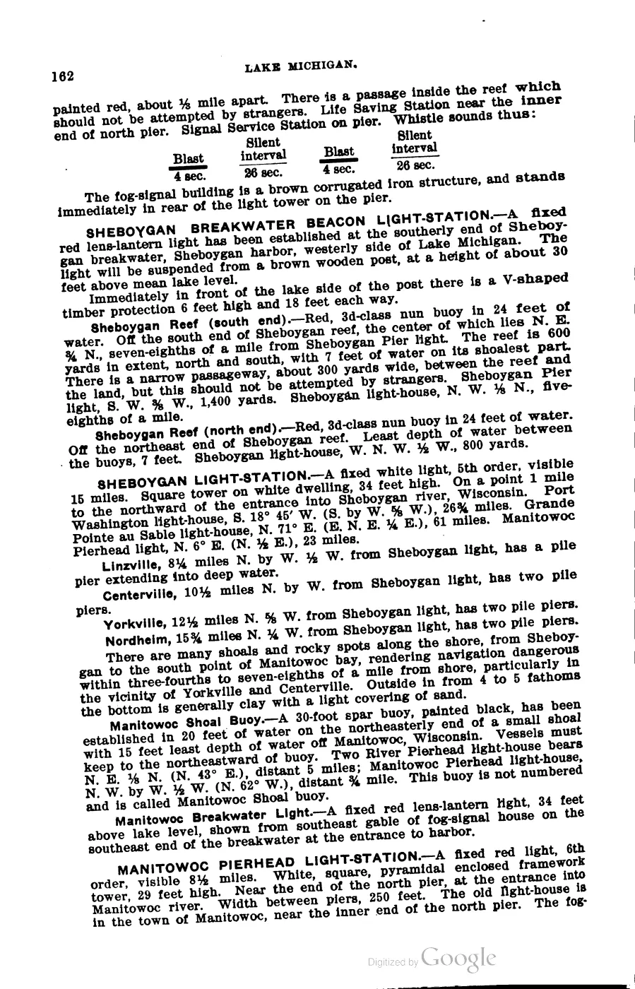
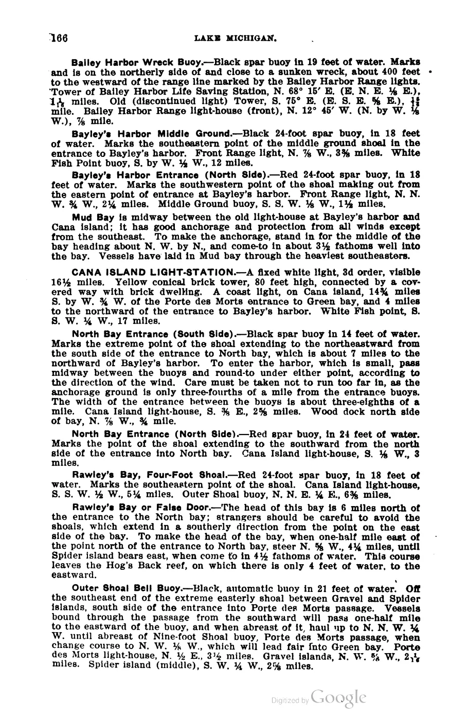
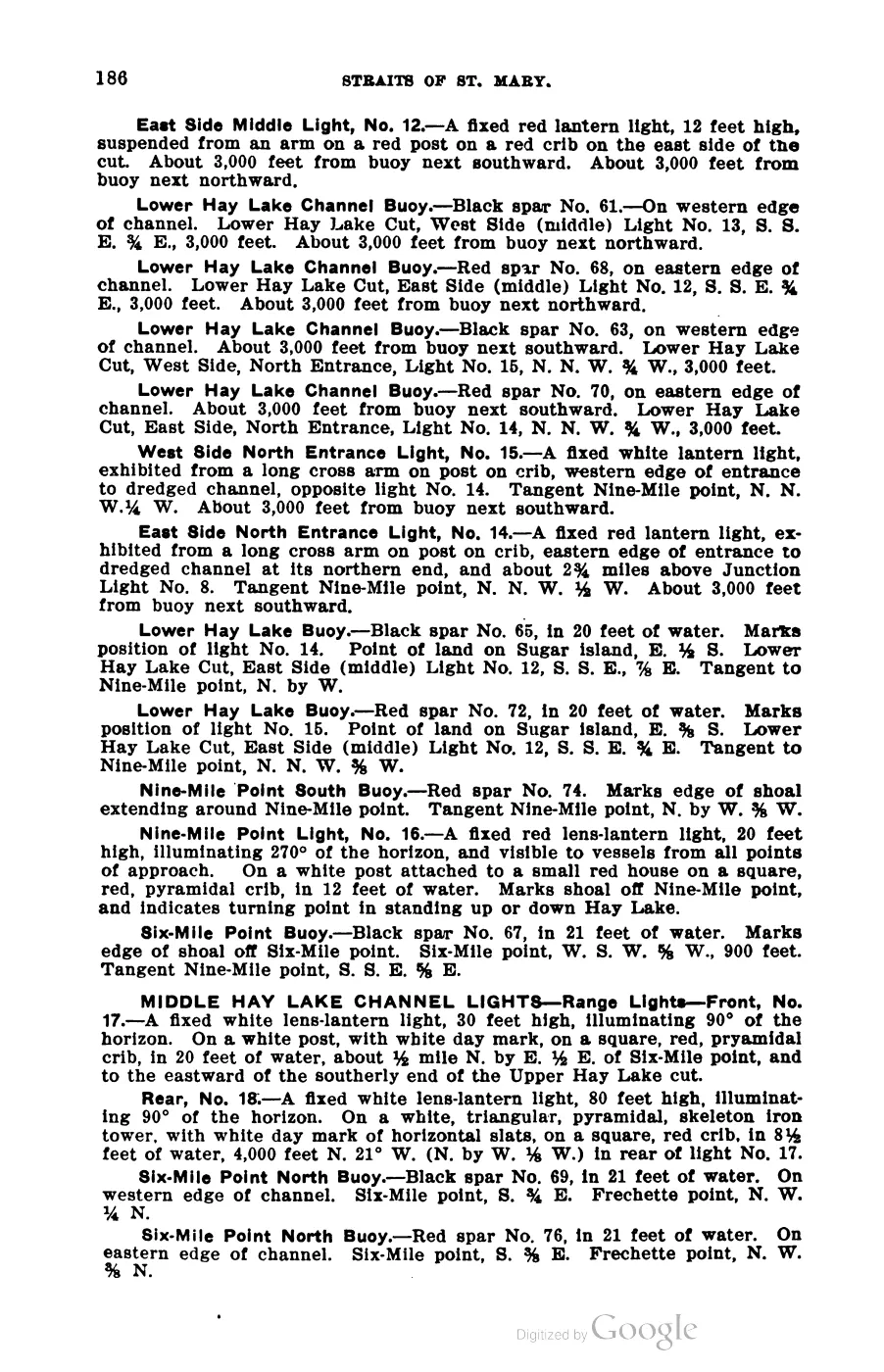
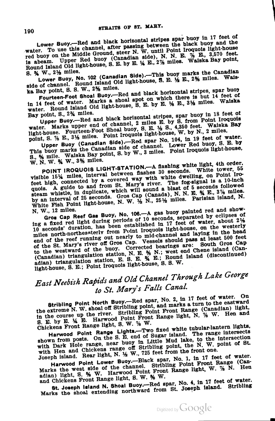
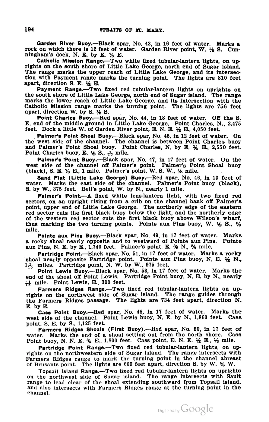
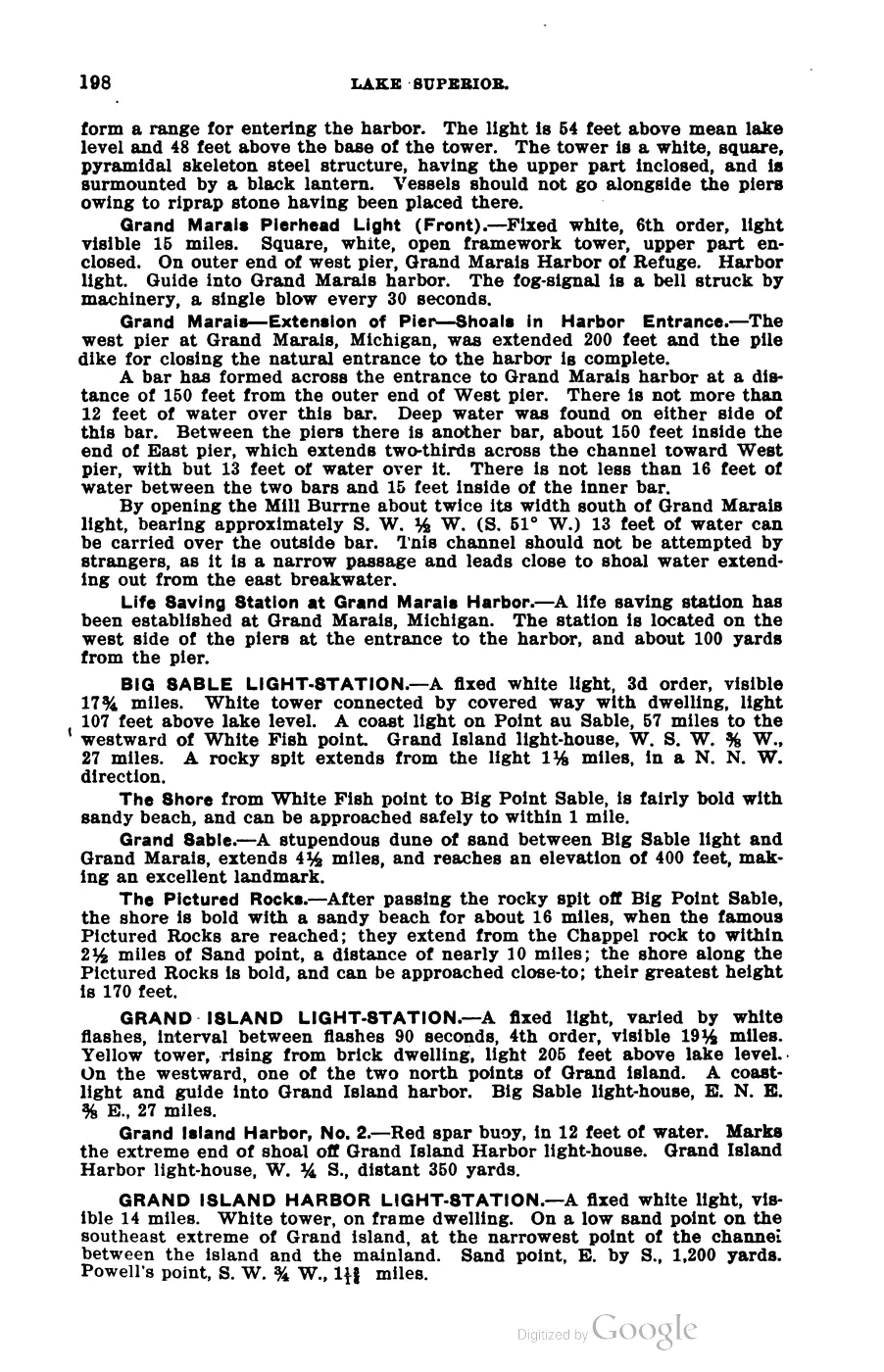
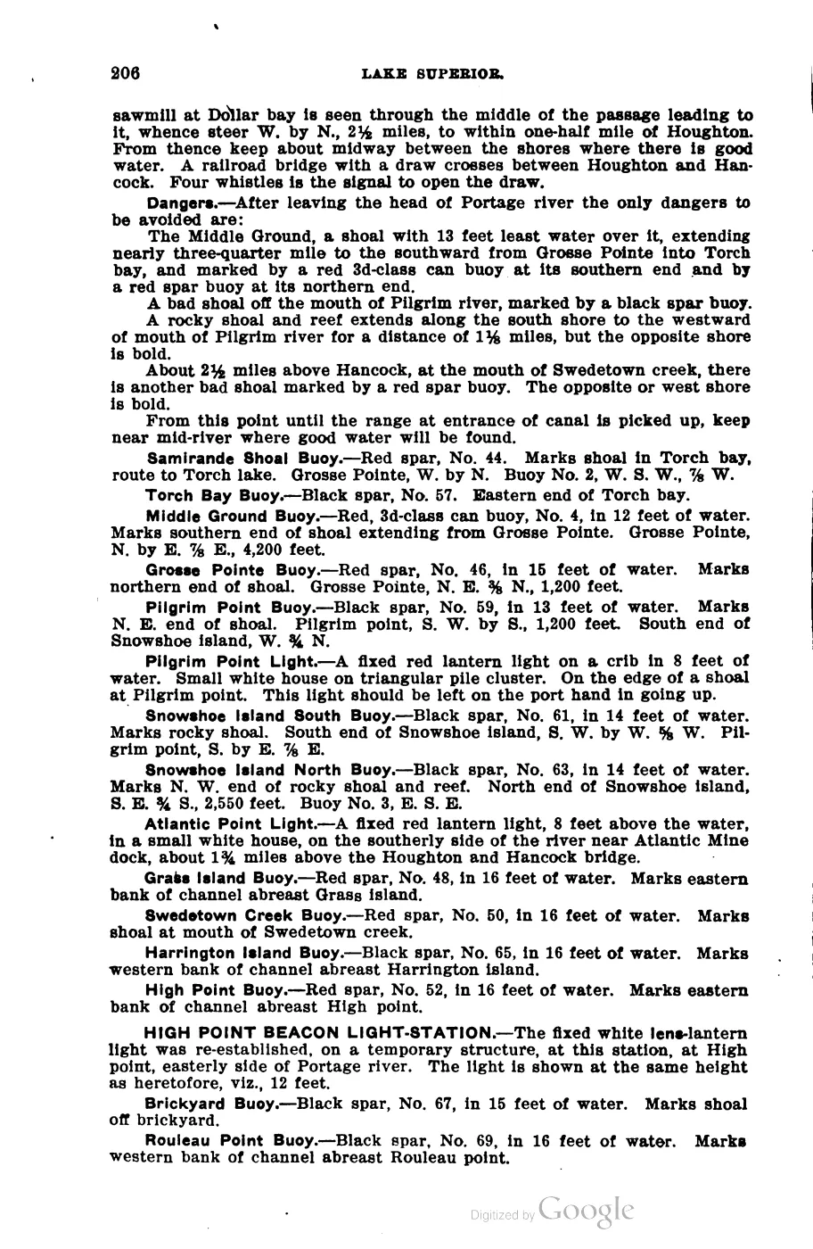
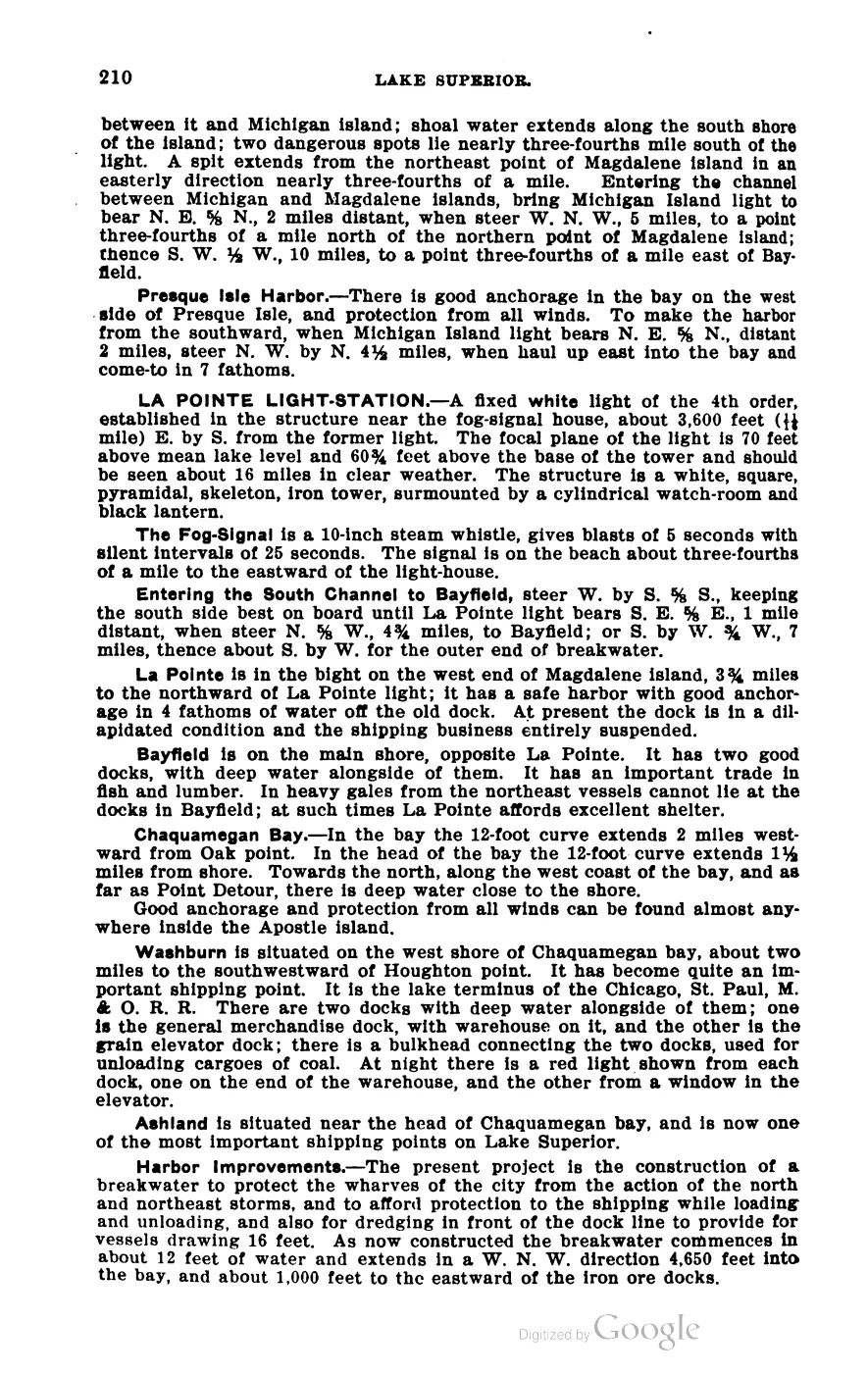
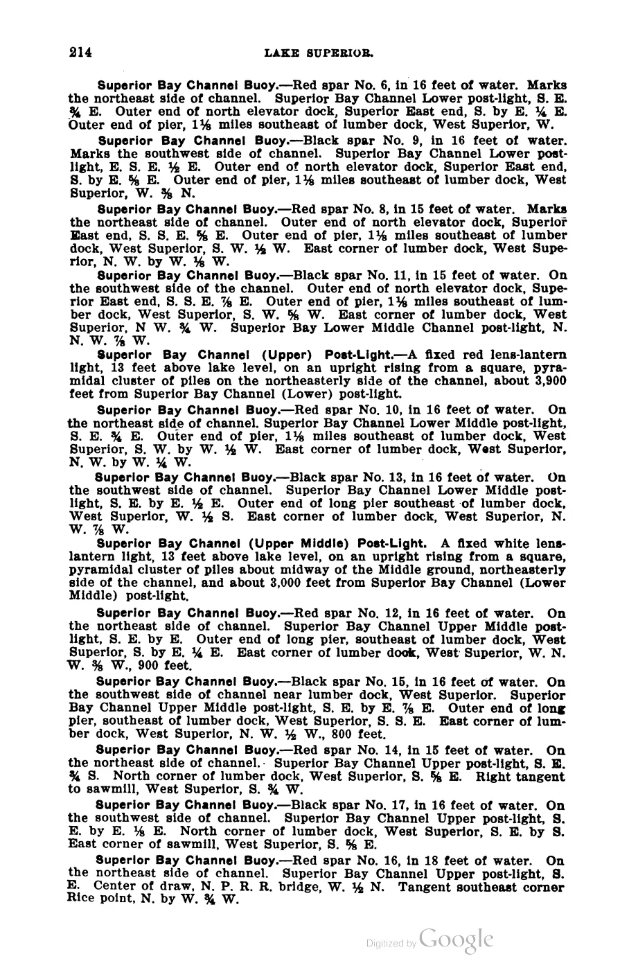
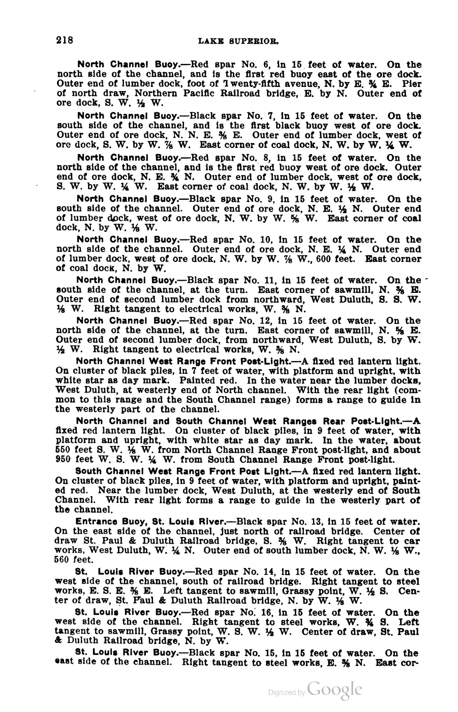
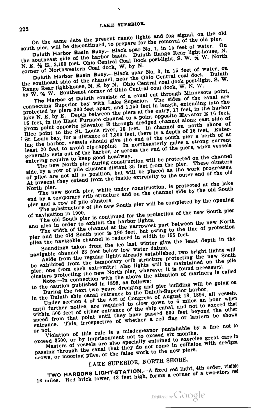
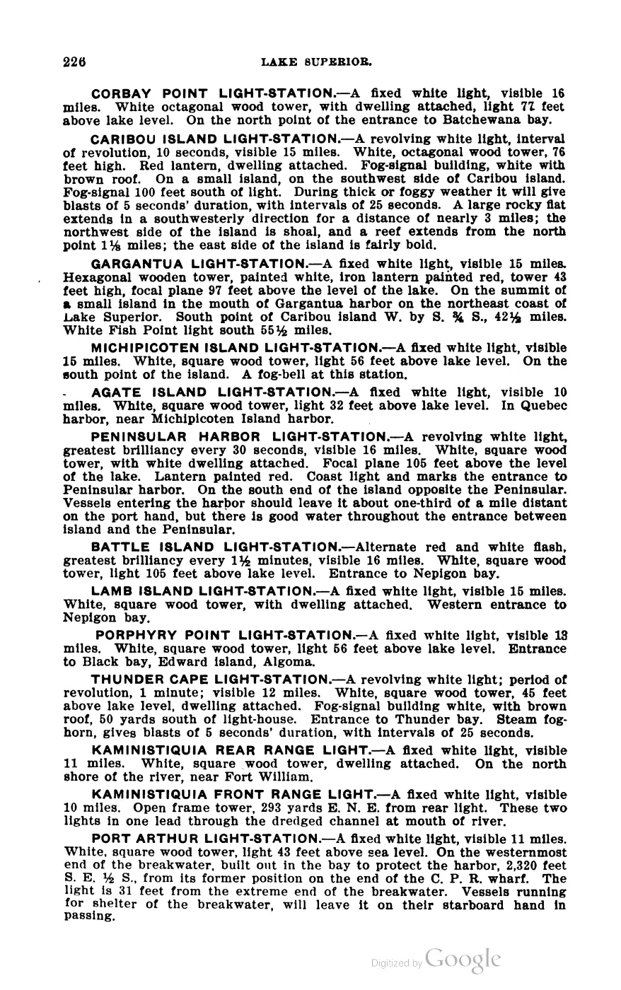
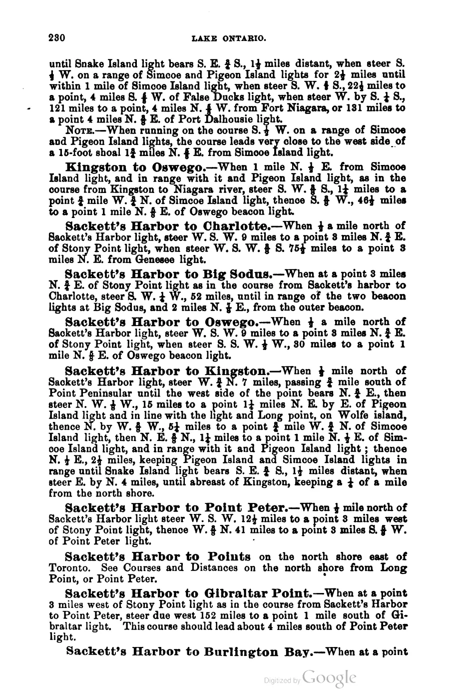
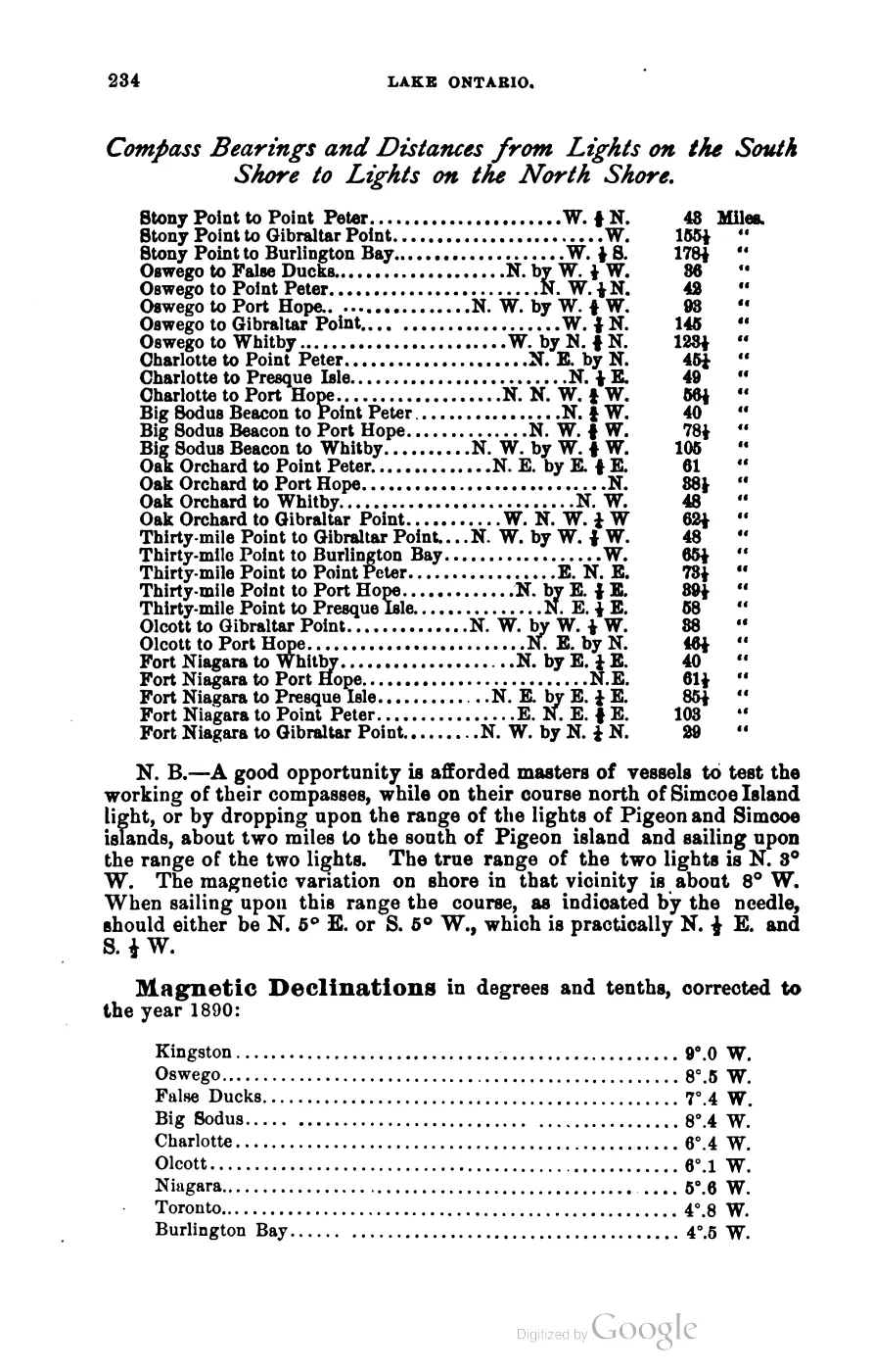
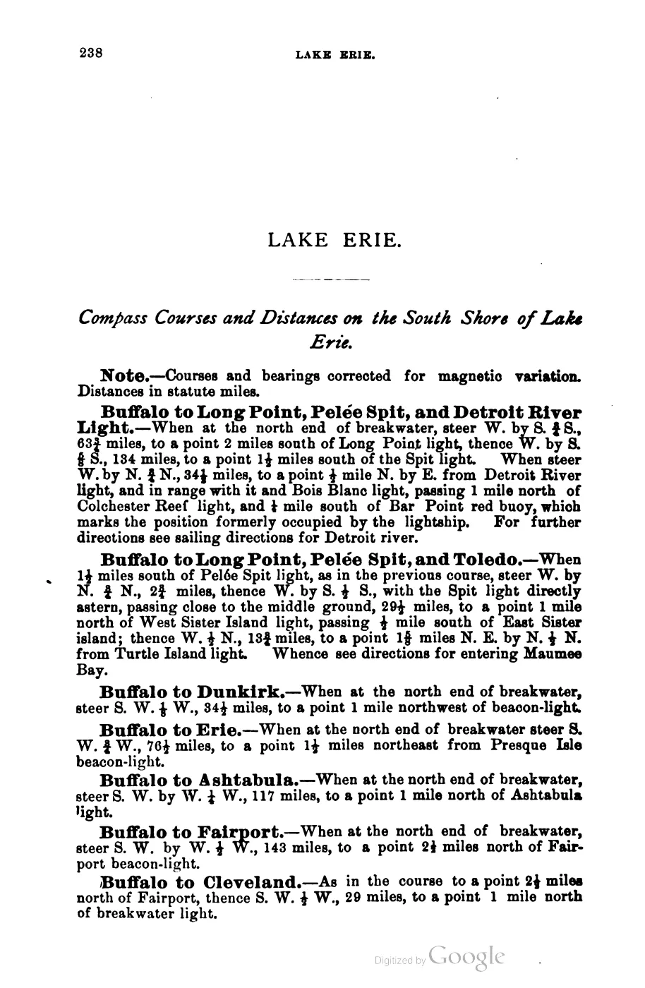
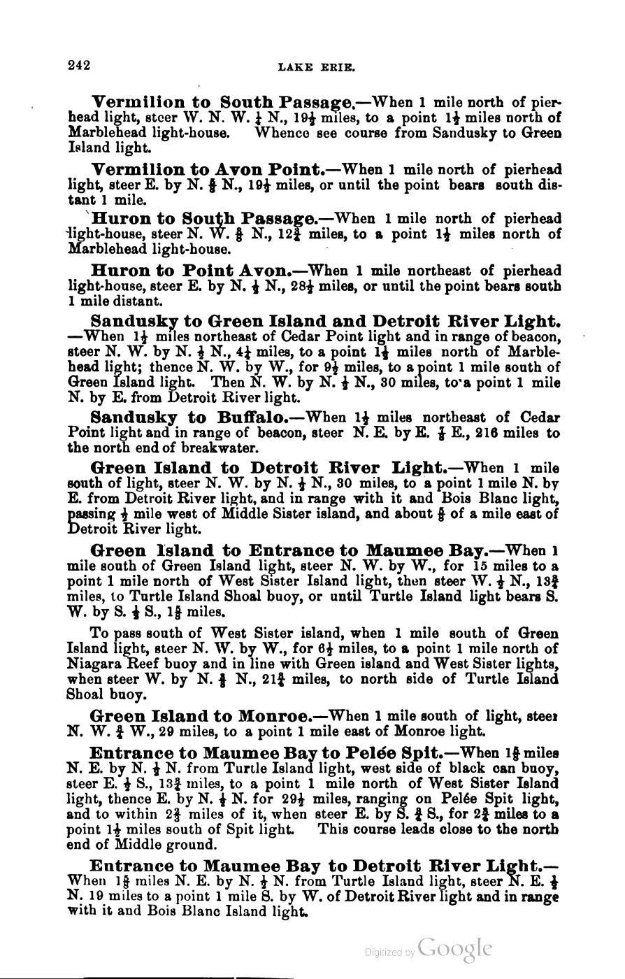
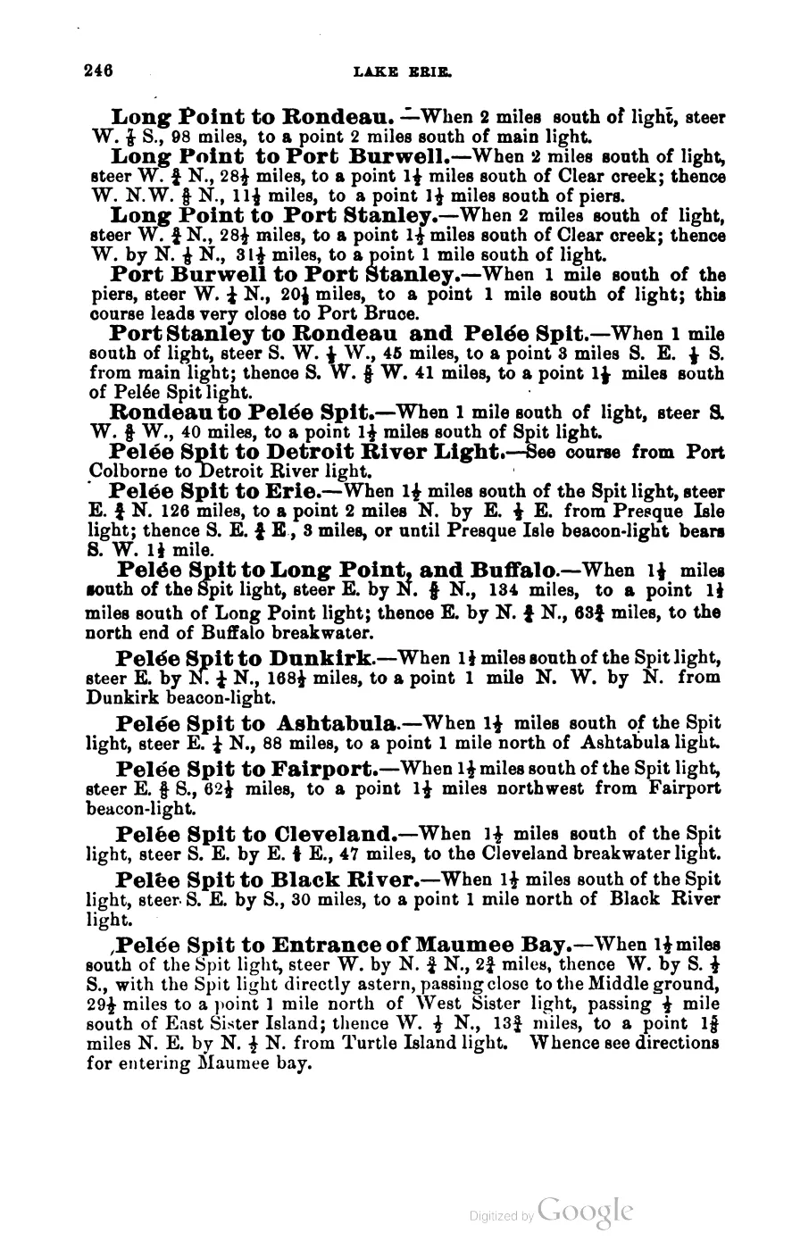
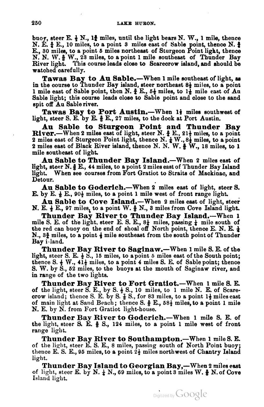
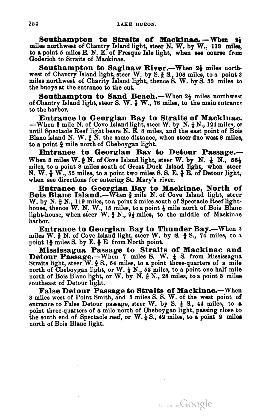
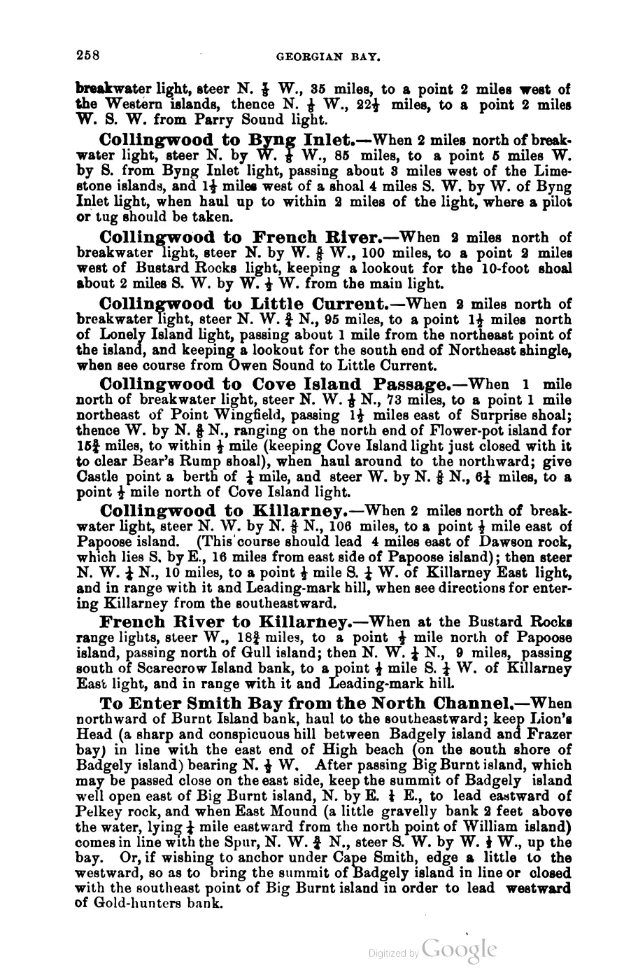
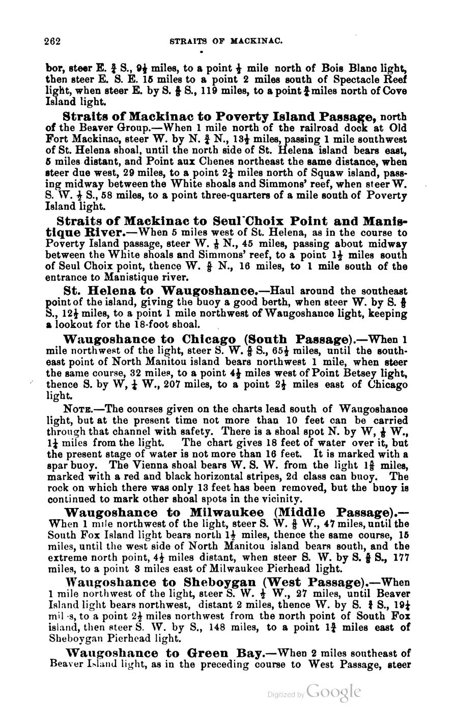
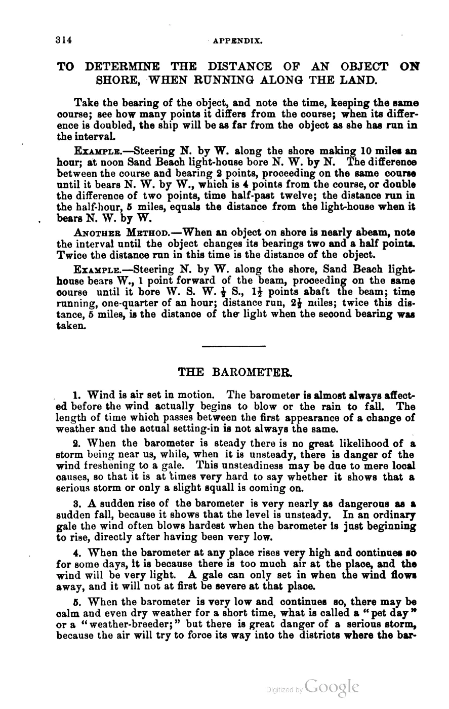
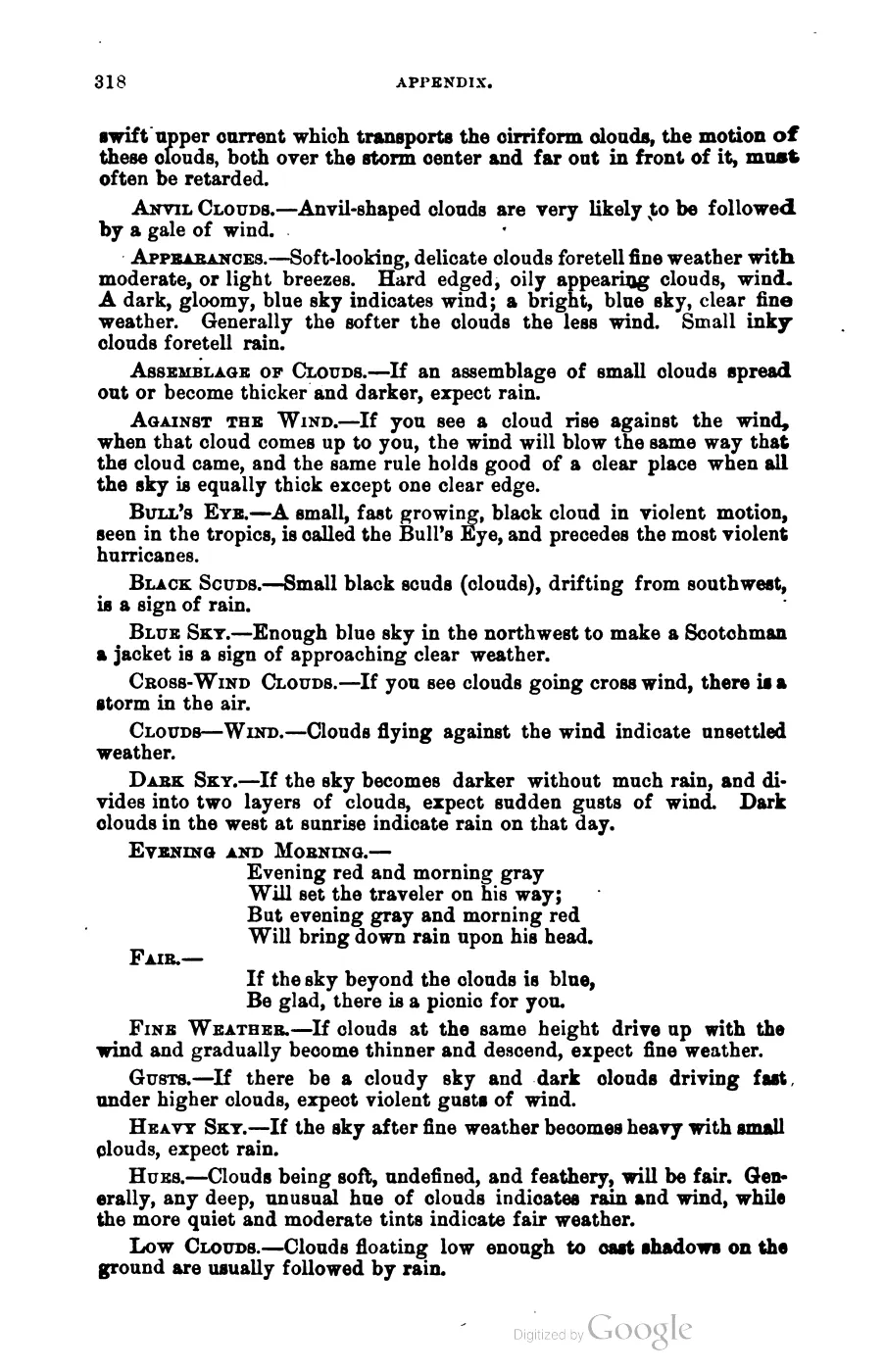
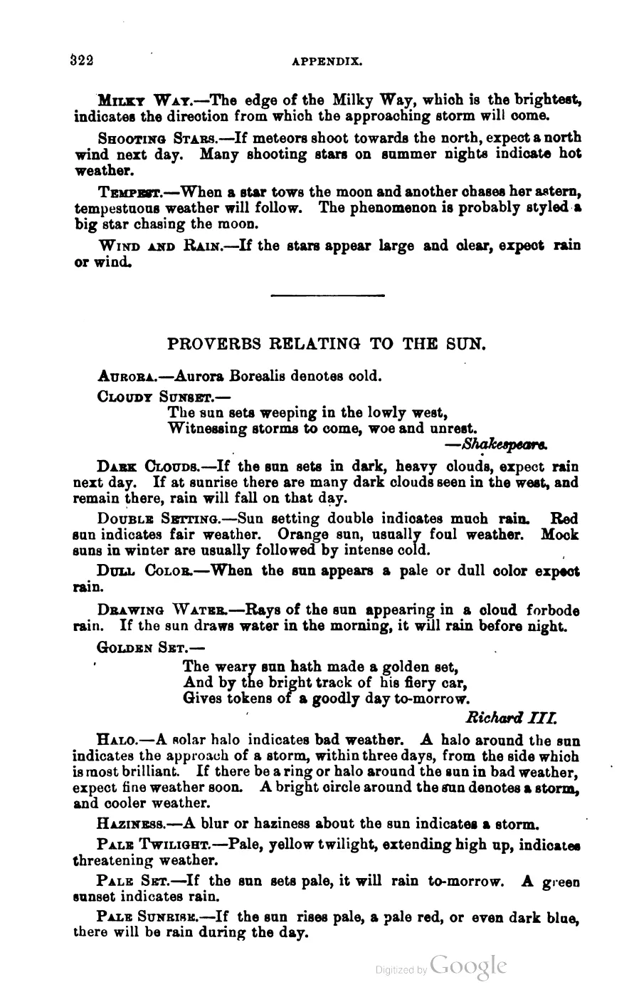
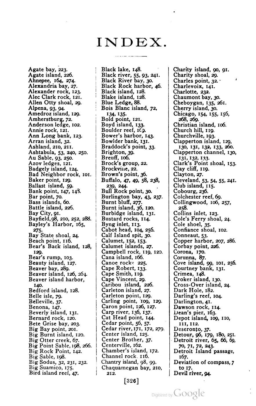
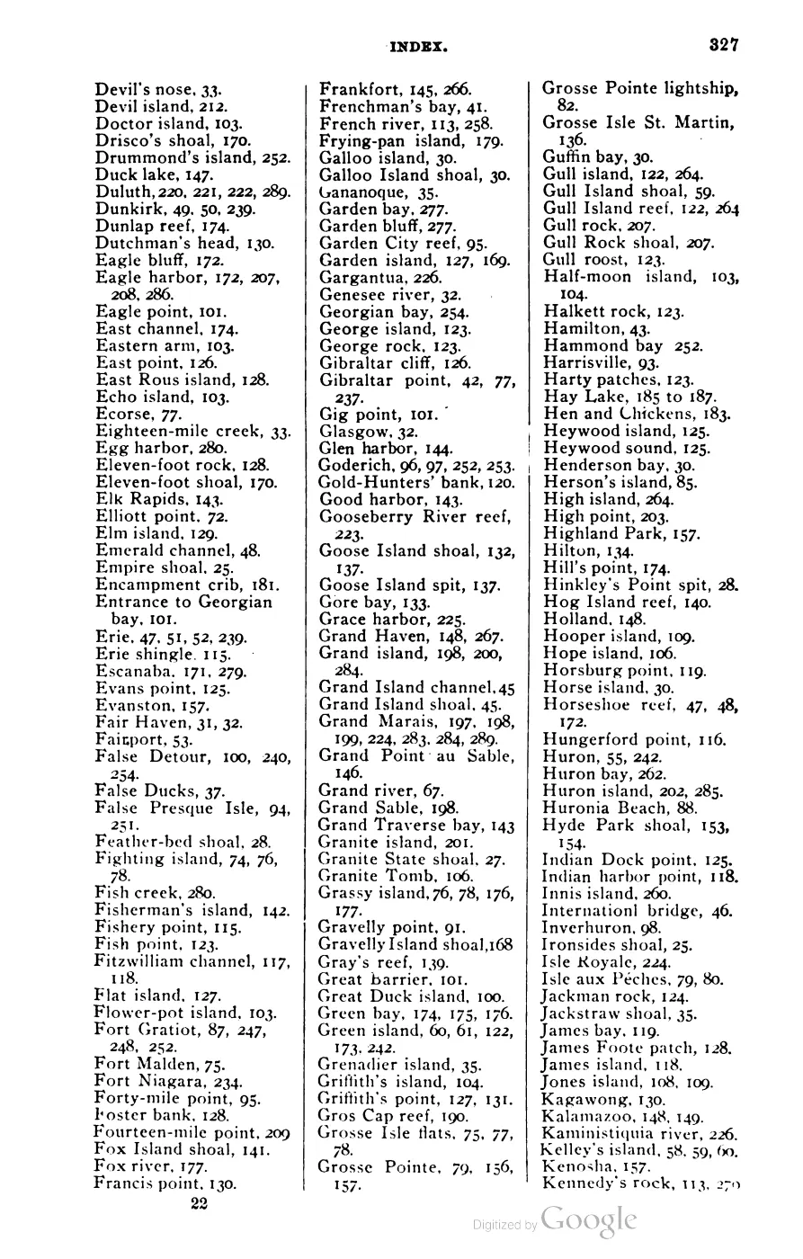
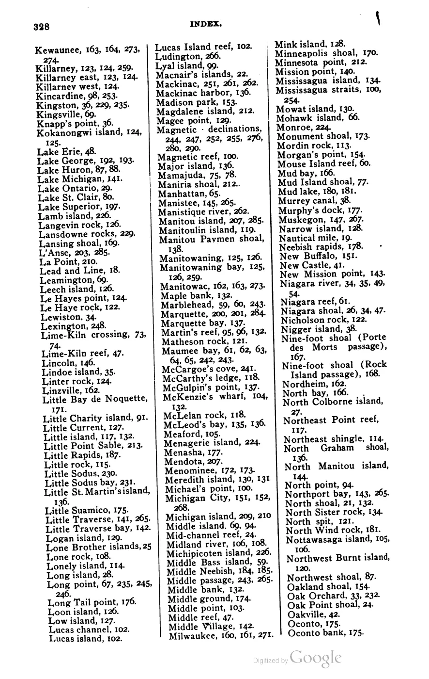
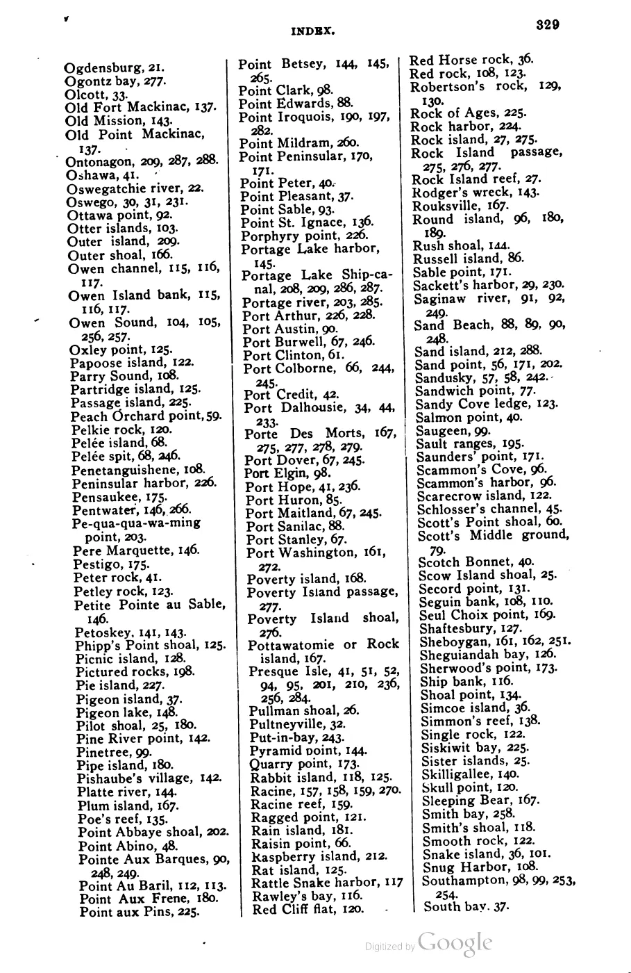
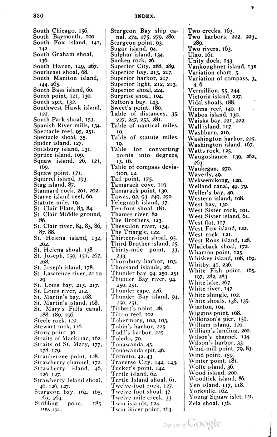






135 of 393 pages linked here — every page to 32, then every 4th, then the last 16. With JavaScript, every page.
Sources
- A seller described a 1960s GW Invader motorboat that had been on Beaver Island for 21 years and had made trips to High and Garden Islands in calm weather. This is a participant's classified description, not a vessel registry, navigation log, ownership record, or independent condition assessment.forum · www.beaverislandforum.com · 16 · t016455
- A resident reported a small mooring with two floats and two anchors missing from the Back Beach area and asked for its return. This is a contemporaneous lost-property notice, not a charted mooring location, navigational hazard report, or recovery record; private contact details are omitted.forum · www.beaverislandforum.com · 17 · t017321
- A returning family sought a Charlevoix sailboat rental, while a participant offered an Island-based sailboat for sale and the Chamber referred them to Charlevoix visitor information. This documents historical boating-market connections, not a completed rental or current provider.forum · www.beaverislandforum.com · 00 · t000285
- The thread contains conflicting participant accounts about steel-hull ferry ice handling and a possible Emerald Isle bow-thruster bubbler. Neither account is treated as authoritative vessel engineering or current winter-operations evidence.forum · www.beaverislandforum.com · 00 · t000293
- A participant asked about bulk-freight alternatives to the ferry and Island Airways and received a reply mentioning barge services. This is historical peer advice, not current freight policy, schedule, or carrier information.forum · www.beaverislandforum.com · 00 · t000273
- A participant gave a visiting boater historical peer advice about the east-side approach to Beaver Harbor, the bell buoy, shoals, and channel markers. This documents informal knowledge exchange, not current official navigation information.forum · www.beaverislandforum.com · 00 · t000178
- A participant reported a small aluminum boat washed onto private property and said it was last registered in 1974. The report does not establish ownership, drift route, or disposition.forum · www.beaverislandforum.com · 00 · t000171
- Participants reported junk cars being loaded onto a barge and discussed removal costs/process and older vehicles near the South Lighthouse School. This is community observation and inquiry, not a shipping manifest or municipal cleanup record.forum · www.beaverislandforum.com · 00 · t000451
- A visitor asked about taking a 20-foot runabout to Beaver Island, slip rental, marina availability, anchoring, and dockage; the Chamber directed the visitor to its recreation information. This is a historical inquiry and official referral, not a marina tariff, legal determination, or confirmed availability.forum · www.beaverislandforum.com · 00 · t000645
- A participant asked whether a returning traveler could carry a large package from a Grand Rapids Beaver Island gathering to the island, offering to pay freight. It is participant-reported evidence of informal passenger-baggage logistics, not proof of completed carriage or a published transport tariff.forum · www.beaverislandforum.com · 00 · t000818
- A participant marked the opening of the 2007 Great Lakes shipping season with the first Soo Locks transit of the *Roger Blough* and discussed its direction and cargo. This is community maritime observation; lock, vessel-tracking, and company records are stronger for the official opening and voyage details.forum · www.beaverislandforum.com · 00 · t000843
- Participants commemorated the ferry *South Shore*'s 62nd birthday, its Chicago layup, shamrock emblem, and wartime-era all-steel construction. Vessel registries and company/maritime records are stronger for the construction and service chronology; this preserves community memory.forum · www.beaverislandforum.com · 00 · t000836
- The thread records a sea-kayaking party's request for truck-and-trailer parking, a Boat Company parking referral, and a reported $7.50 weekly arrangement. It is a historical visitor-logistics example, not a current rate sheet or guarantee of parking.forum · www.beaverislandforum.com · 00 · t000879
- A participant sought space to move a gas grill from Grand Rapids to Beaver Island and later reported that arrangements were made. This documents informal freight coordination and a reported successful arrangement, not a carrier service or freight tariff.forum · www.beaverislandforum.com · 00 · t000916
- A boater asked about a Cross Village ramp and trailer parking; the Chamber recommended starting from Charlevoix and linked island visitor information. This is contemporaneous visitor advice, not a ramp survey or harbor policy.forum · www.beaverislandforum.com · 00 · t000898
- The forum reproduced a 1997 Ninth Coast Guard District *Shipmates* account of the 1958 *Carl D. Bradley* disaster and included a participant's family connection to USCGC *Sundew*. The Coast Guard article and official maritime records are stronger for the casualty facts; the forum preserves local circulation, maritime memory, and the claim that the lifeboat later entered the Beaver Island marine museum, which should be checked against museum records.forum · www.beaverislandforum.com · 00 · t000964
- The forum relayed a Grand Rapids Press account of the Great Lakes freighter *Calumet* and its impending scrapping. The newspaper and vessel records are stronger for the ship's chronology; the forum preserves local maritime interest and the article's circulation, not a Beaver Island port call.forum · www.beaverislandforum.com · 01 · t001028
- A participant proposed transporting a small sailboat from the mainland in exchange for shared use; it documents informal equipment logistics, not a completed transfer or title arrangement.forum · www.beaverislandforum.com · 05 · t005912
- A participant sought help moving equipment between residents and later thanked neighbors for delivery; it documents informal mutual aid, not a carrier service.forum · www.beaverislandforum.com · 05 · t005917
- A participant sought a small trailer and received general purchasing advice; it documents equipment demand, not a completed purchase or regulatory determination.forum · www.beaverislandforum.com · 06 · t006253
- A participant sought dockage for a pontoon on Lake Geneserath; it documents a private inquiry, not marina capacity or permission.forum · www.beaverislandforum.com · 06 · t006333
- A participant sought mooring whips for an 18-foot boat; it documents equipment demand, not a mooring standard.forum · www.beaverislandforum.com · 06 · t006332
- A classified listing reported the sale of a small aluminum fishing boat; the “SOLD” status is participant-reported and does not establish title transfer.forum · www.beaverislandforum.com · 06 · t006530
- A classified listing offered a small boat trailer; it documents an offer, not a completed sale or inspection.forum · www.beaverislandforum.com · 06 · t006662
- A participant offered spare trailer capacity for freight to Charlevoix; it documents informal shipping coordination, not a carrier schedule or tariff.forum · www.beaverislandforum.com · 06 · t006677
- A participant reported a lost personal flotation device along roads near Fox Lake; it documents a safety-equipment recovery request, not a marine incident.forum · www.beaverislandforum.com · 06 · t006834
- A visiting angler reported losing an Abel fly reel and case after fishing with Kevin Morlock and supplied contact information. This is a personal lost-property notice, not a fishing-trip, guide, or recovery record.forum · www.beaverislandforum.com · 13 · t013178
- A participant observed the vessel Prentiss Brown anchored off the east side of Beaver Island for more than a week. A reply jokingly claimed it had become a whaling vessel named The Fluke; that explanation is preserved as humor, not treated as evidence of conversion, whaling, ownership, or the reason for anchorage.forum · www.beaverislandforum.com · 17 · t017530
- A participant used the anniversary of the Edmund Fitzgerald loss to remember Great Lakes sailors, including island ferries and larger lakers. This is a community remembrance, not a new account of the 1975 sinking or a vessel-specific historical source.forum · www.beaverislandforum.com · 00 · t000487
- George Scott, *Scott's New Coast Pilot for the Lakes*, 6th ed., revised and enlarged (Detroit: The Free Press Printing Company, 1902), pp. 190-192, 220, 313-316.Described in this archive: Scott's New Coast Pilot for the Lakes.Full sailing directions to and from Beaver Island Harbor, anchorages, Gull Island Reef, Hog Island Reef, and the Squaw Island, Skilligallee and Waugoshance light stations. Extracts cleanly from the PDF text layer. No public copy of this file is known; the archive holds one and can provide it on request.local_documents · 1902_scott-new-coast-pilot-for-the-lakes-6ed
- Described in this archive: North End of Lake Michigan Including the Beaver Island Group, 1855 Lake Survey chart.Earliest chart in the archipelago catalogue. Surveyed while Strang's kingdom was still standing.federal · noaa_charts · images · 1855_NORTH-END-OF-LAKE-MICHIGAN-INCLUDING-THE-BEAVER-ISLAND-GROUP-NORTH-END_LC00010-00-1855WWL
- Described in this archive: Michigan Historical Collections, volume 9, 1886.Page images checked. Retrospective observer account claiming participation in the 1855 Beaver Island survey; it reports a St. James dock, warehouse, wood piles, and profitable cordwood sales to steamers. It is not an official field report, and its anti-Strang polemic is not used as an independent factual source.
- 186 charts, 1855-2024. Two are First Series Lake Survey sheets; 184 are later nautical charts. Decadal counts used in this article are computed from this file.federal · noaa_charts · noaa_charts_aoi
- Described in this archive: Northern Lake Michigan reef and coastal bathymetry, USGS OFR 03-120.Held technical metadata and soundings cover Boulder, Dahlia, Gull, High, Hog, and Trout areas. These are habitat and geomorphology data, not navigational charts; the metadata explicitly warns that the data are not intended for navigation.federal · noaa_bathymetry · usgs_ofr_2003_120
- Described in this archive: Ancient and Modern Michilimackinac, 1854.Harbour description, wharves and the wooding trade; the shift of steamboat calls away from Mackinac.
- *Daily Northern Islander* (Saint James, Beaver Island), April-June 1856, commercial review and advertisements.Described in this archive: Northern Islander, 1850–1856.Prices for steamboat wood; the wooding wharves at Saint James and Galilee; advertisement of the steamer Michigan running Buffalo to Green Bay and "stopping at Saint James and Galilee, on Beaver island". No public copy of this file is known; the archive holds one and can provide it on request.
- Described in this archive: A Child of the Sea; and Life among the Mormons, 1905.Resident and later lighthouse keeper. Cordwood cut in winter for the steamers' summer fuel; the fishing fleet's landings; the schooner Nancy's weekly runs to Mackinac and St. Helena.
- *Rock Island Argus* (Rock Island, Ill.), 12 April 1912, p. 12.Travel letter. "It has the best land-locked harbor along the entire lakes"; lighthouse, life-saving station, sawmill and narrow-gauge railway. No public copy of this file is known; the archive holds one and can provide it on request.federal · chronicling_america · sn92053934_1912-04-12_ed1_p12
- Compiled local research-card chronology used as a lead for the 1895 Nellie, 1897 Eric L. Hackley, and 1962 Beaver Islander passenger-service sequence. The card notes are attributed local research, not an audited vessel registry.web · collar_subject_cards_q-z
- A boater reported leaving an anchor near the harbor's 'old cars' while showing visiting family the sight and later finding it gone. This is a participant account of a disputed lost-property incident, not a verified wreck-site or navigation survey.forum · www.beaverislandforum.com · 05 · t005192
- A post linked photographs and news coverage of Fogg Towing and the SS Keewatin underway, with a reference to St. James Marine. It is a contemporaneous visual/news referral, not independently verified vessel-position data.forum · www.beaverislandforum.com · 04 · t004986
- A participant reported that the M/V West Shore had been sold, renamed Anna May, and was expected to operate as a freight, horse, and passenger vessel in the Straits of Mackinac. This is a forum relay about another vessel’s disposition, not a Beaver Island service schedule.forum · www.beaverislandforum.com · 04 · t004960
- A participant shared a comparative account of a Roatan ferry business carrying passengers and freight. It is contextual maritime discussion, not evidence about Beaver Island ferry operations.forum · www.beaverislandforum.com · 04 · t004886
- A participant sought a 20–25-foot cabin sailboat on a trailer and referred to unused boats visible around the island. It documents a wanted advertisement and a participant’s impression, not an inventory of island vessels.forum · www.beaverislandforum.com · 04 · t004754
- A forum link relayed a BoatNerd article about the S.S. Badger and environmental/policy controversy. The linked article is stronger for the issue’s details; the forum preserves a contemporary referral, not a Beaver Island-specific event.forum · www.beaverislandforum.com · 04 · t004541
- A supplier notice gave bulk feed prices and delivery options to Beaver Island transport carriers and the Ironton Barge. It documents a period provisioning/logistics offer, not shipment volumes or a complete supply chain.forum · www.beaverislandforum.com · 04 · t004317
- Participants reported seeing the Grande Mariner cruise ship at the ferry dock. This is a contemporaneous public observation, not an official port call record.forum · www.beaverislandforum.com · 04 · t004037
- Participants identified a cruise ship at the ferry dock as the Grande Mariner. This is public observation, not a verified port-call record.forum · www.beaverislandforum.com · 04 · t004037
- A participant sought old boats, preferably free, for an unspecified project. It documents a wanted notice, not an inventory of historic vessels.forum · www.beaverislandforum.com · 04 · t004032
- Participants reported the vessel Madeline at the dock and invited people to meet the crew. This is a contemporaneous observation, not an official port-call or vessel-history record.forum · www.beaverislandforum.com · 03 · t003782
- A participant reported finding an anchor and sought its owner. It documents lost-property recovery, not a navigational or wreck-site record.forum · www.beaverislandforum.com · 03 · t003686
- A participant sought a summer boat slip. It documents recreational mooring demand, not harbor capacity.forum · www.beaverislandforum.com · 03 · t003244
- A listing offered a 1980 fishing and pleasure boat with twin outboards, GPS, radio, and depth finder. This is a private advertisement, not a vessel registry, survey, or proof of sale.forum · www.beaverislandforum.com · 02 · t002584
- Participants asked about using the Emerald Isle's slip and observed a private boat anchoring near the ferry's arrival. This is community observation and inquiry, not a published fee schedule or harbor log.forum · www.beaverislandforum.com · 02 · t002534
- A participant sought a two- or three-seat canoe for recreation and inland-lake fishing and was directed to a local maker near McDonough's. This documents a local craft and equipment lead, not a completed sale or maker catalogue.forum · www.beaverislandforum.com · 02 · t002423
- A participant reported that NOAA buoy station 45002, between North Manitou and Washington Islands, was back in the water and linked an external reference. This is a community relay; NOAA data are stronger for buoy deployment and observations.forum · www.beaverislandforum.com · 02 · t002296
- A participant directed readers to the Beaver Island Boat Company website for the start-of-season schedule and stated that the first boat had run the previous day. The Boat Company schedule is stronger evidence for service dates; the forum records local circulation.forum · www.beaverislandforum.com · 02 · t002287
- Participants discussed high winds, 14–18-foot waves, and whether ferry service was running. This is contemporaneous community observation and service discussion, not a marine forecast or Boat Company log.forum · www.beaverislandforum.com · 01 · t001939
- A Beaver Islander service notice reported same-day trip cancellations due to weather, followed by participant confirmation of rough conditions. This is a contemporary service notice and community report, not a marine forecast or complete operating log.forum · www.beaverislandforum.com · 01 · t001869
- Participants discussed the former island vessel Mary Margaret, its reported conversion and ownership changes, later renaming as Chippewa, and subsequent Maine location. The thread preserves community recollection and links to external vessel information; registry or shipyard records are stronger for the vessel chronology and the anecdotal claims remain qualified.forum · www.beaverislandforum.com · 01 · t001578
- A sailor asked about a Catalina's passage time from Beaver Island toward Harbor Springs/Petoskey, received a six-to-twelve-hour estimate, and later reported a roughly 38-mile Petoskey trip of about 5.5 hours outbound and 12.5 hours returning in changing wind. This is valuable firsthand voyage testimony, not a route survey, navigational instruction, or representative passage-time record.forum · www.beaverislandforum.com · 01 · t001228
- A first-time visitor asked about bringing bicycles and kayaks; replies referred to kayak rental, freight pricing, the Boat Company, Lakesports, and visitor information. This documents contemporaneous visitor logistics and business referrals, not a complete freight tariff or rental inventory.forum · www.beaverislandforum.com · 01 · t001221
- A visitor asked whether to bring a motorcycle; participants debated Michigan ORV rules, designated routes, public-road use, environmental concerns, and the Boat Company's transport implications. The quoted DNR-law material is a research lead that should be checked against the official rules in force at the time; participant advice and opinion are not legal guidance.forum · www.beaverislandforum.com · 01 · t001181
- A visitor and participants discussed bringing a street-legal Polaris Ranger and trailer, including whether the Boat Company could load the trailer and how return transport would work. This is contemporaneous logistics discussion and participant advice, not a freight tariff, reservation, or official vehicle-use policy.forum · www.beaverislandforum.com · 01 · t001178
- A four-post thread tried to coordinate a driver and vehicle transfer from Grand Rapids to Charlevoix for island use, but the arrangement fell through when insurance limited who could drive the van. This is a useful informal-logistics record precisely because it documents both the proposed solution and its failure; it is not a completed transport record.forum · www.beaverislandforum.com · 01 · t001128

Added 28 July 2026 · revised 2 August 2026. Recent changes
Cite this article
Beaver Island Archive, “Shipping and navigation”, https://beaverislandarchive.org/themes/shipping-and-navigation/, accessed [date], citing douglascurtisedgar, "1960's gw invader," Beaver Island Forum, June 30, 2021, topic 16455. (and 64 further sources listed on the page).
Last revised 2026-08-02. Fill in [date] with the date you read it — this page is static and cannot know that.
BibTeX for “Shipping and navigation”RIS for “Shipping and navigation”