

- Built
- 1856
- Coordinates
- 45.7427° N, 85.5088° WGoogle Maps: Beaver Island Harbor LightDownload KML
- Eras
- Irish era
- Concepts
- maritimelighthousesshippingheritage
- Within
- Saint James Harbor · Beaver Island
- Media
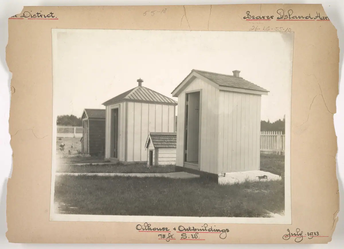
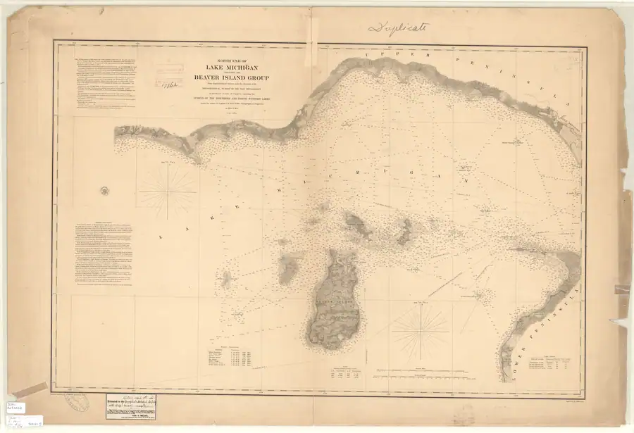
- Beaver Island Harbor Light Station: oilhouse and outbuildings, July 1913 · North End of Lake Michigan Including the Beaver Island Group, 1855 Lake Survey chart
Summary
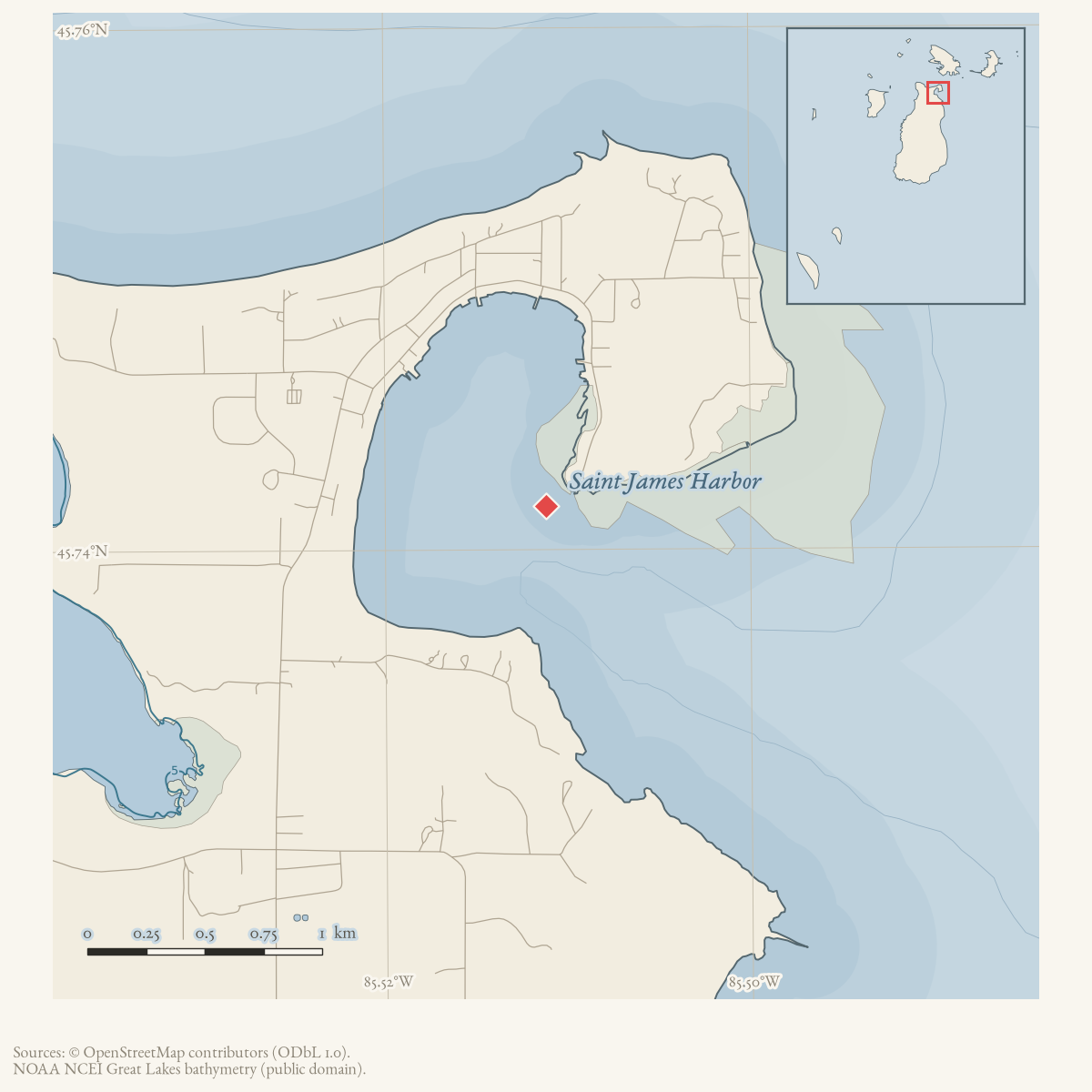
The Beaver Island Harbor Light stands on Whiskey Point, on the north side of the entrance to Beaver Harbor at Saint James, guiding vessels into the island’s principal harbor. It is a separate structure from the Beaver Island Light Station at the island’s south end, sometimes confused with it because both are called “Beaver Island” lights in different sources. In 1902 it showed a fixed red light of the 4th order, visible 13 miles, from a 34-foot white tower connected by a covered way to the keeper’s dwelling. The site — locally called Whiskey Point — was the pre-lighthouse rendezvous of the fishermen who opposed Strang’s Mormon settlement in the late 1840s and early 1850s, and it later held both this light and the Beaver Island Life-Saving Station, about 165 feet to the west.
History
Before any lighthouse stood here, the point was known as Whiskey Point, “the gentile trader[’s]” landing across the harbor from the Mormon settlement, where emigrant Mormons “generally had to land” and were repeatedly harassed by resident fishermen through the winters of 1849-50 and after.1 Historian Milo Quaife’s 1930 study of the Strang kingdom identifies this same point as the later site of “the lighthouse and life-saving station.”1 Peter McKinley, named in Strang’s own 1854 narrative as a trader at the point and “successor to Alva Cable,” later held the post of light-keeper here before resigning in August 1869.23
The Coast Guard Historian distinguishes three dates that later summaries often collapse: the station was established in 1852, its earlier tower was built in 1856, and the standing tower was first lit in 1870.4 The 1855 Lake Survey table independently proves that a fixed light was already operating before the 1856 tower, while Williams’s eyewitness account documents the 1870 replacement. The 1978 Historical Map’s “1856” is therefore retained as the date of the earlier tower, not assigned to the structure visible today.5
Elizabeth Whitney Williams’s memoir gives a first-person account of the station from 1869: her husband, Mr. Van Riper, was appointed keeper that month, succeeding McKinley.3 In the spring of 1870 “a large force of men came with material to build a new tower and repair the dwelling, adding a new brick kitchen,” under a Mr. Newton; “a new fourth order lens was placed in the new tower and the color of the light changed from white to red.”3 This rebuilt, red-light tower is consistent with the fixed red 4th-order light that Scott’s Coast Pilot records in 1902 — by contrast, the earlier “Light Houses” table on the 1855/1861 Lake Survey chart lists an unspecified-color fixed “Beaver Harbor Lt. Ho.” at only 30 feet above the lake, visible 12½ miles, i.e. before this 1870 rebuild.67 The 1870 date is independently given by lighthousefriends.com and northernmichiganhistory.com; a howderfamily.com page is reported elsewhere to give 1871 instead, but that page has not been located or verified directly, so the dissent is recorded rather than adopted.89
Van Riper drowned in the harbor attempting to rescue the crew of a sinking vessel, “with a companion, the first mate of the schooner Thomas Rowland.”3 Elizabeth Whitney (Van Riper) was herself appointed keeper “a few weeks after,” and continued in the post after remarrying (her official title becoming “Mrs. Daniel Williams”), until she requested and received a transfer to the newly finished Little Traverse light station at Harbor Point, first lit 25 September 1884.3 A modern secondary account in the island’s community newspaper gives her husband’s given name as Clement Van Riper and dates his drowning to November 1872 while attempting to rescue the crew of a wrecked vessel, and states Williams served as keeper here for twelve years — consistent with, though more specific than, her own memoir.10
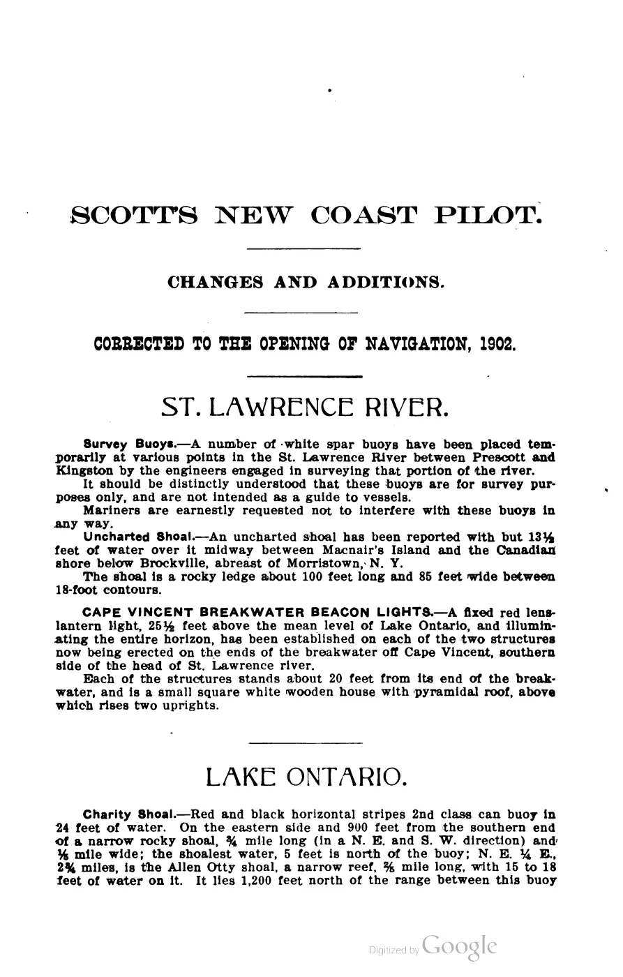
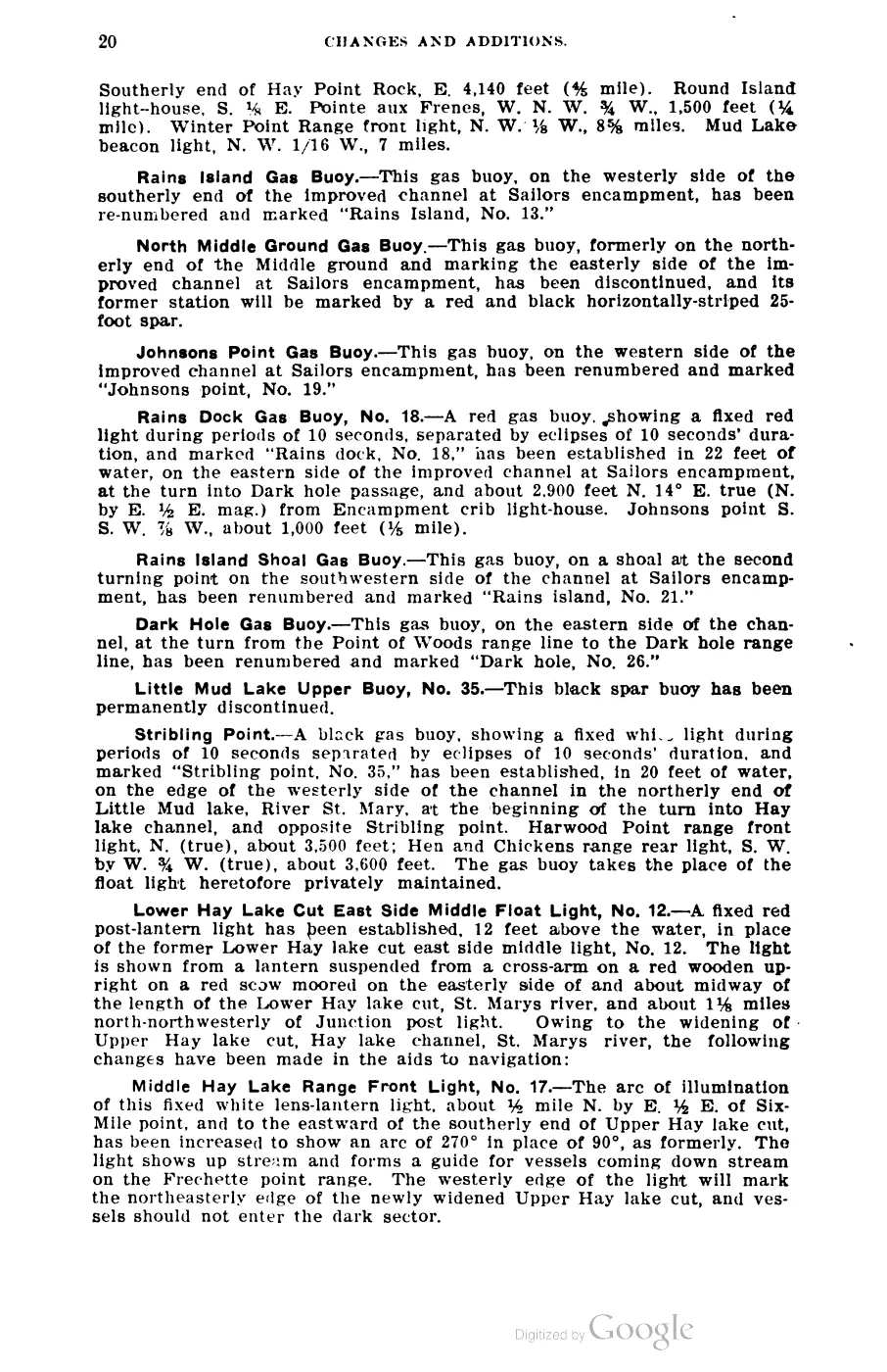
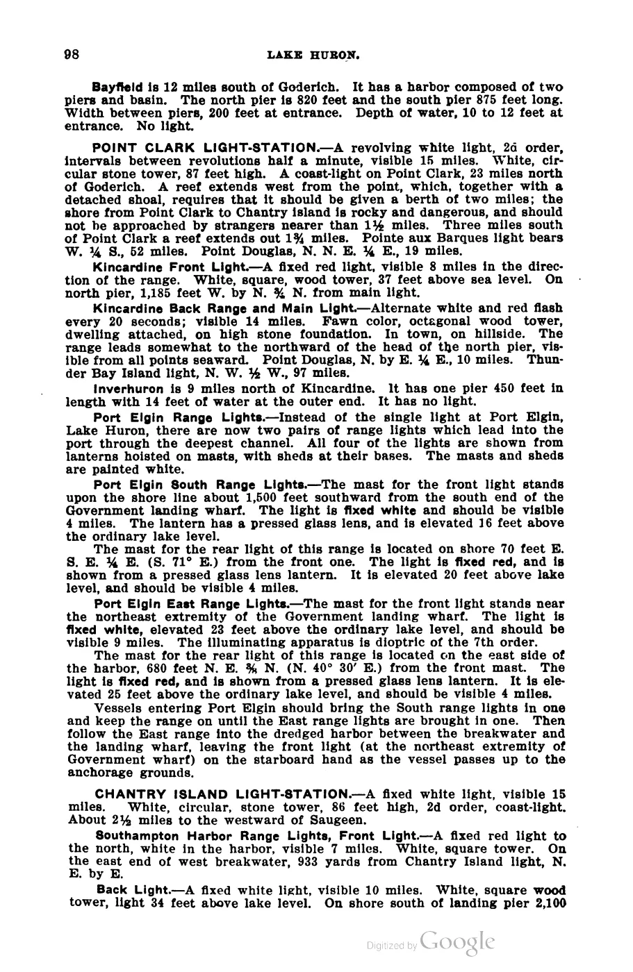
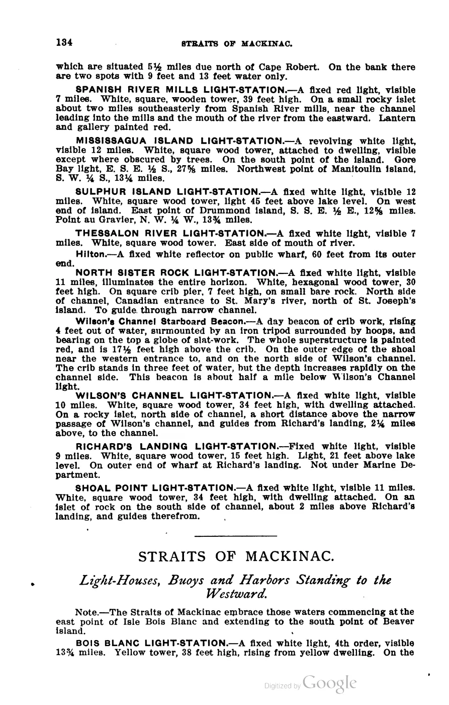
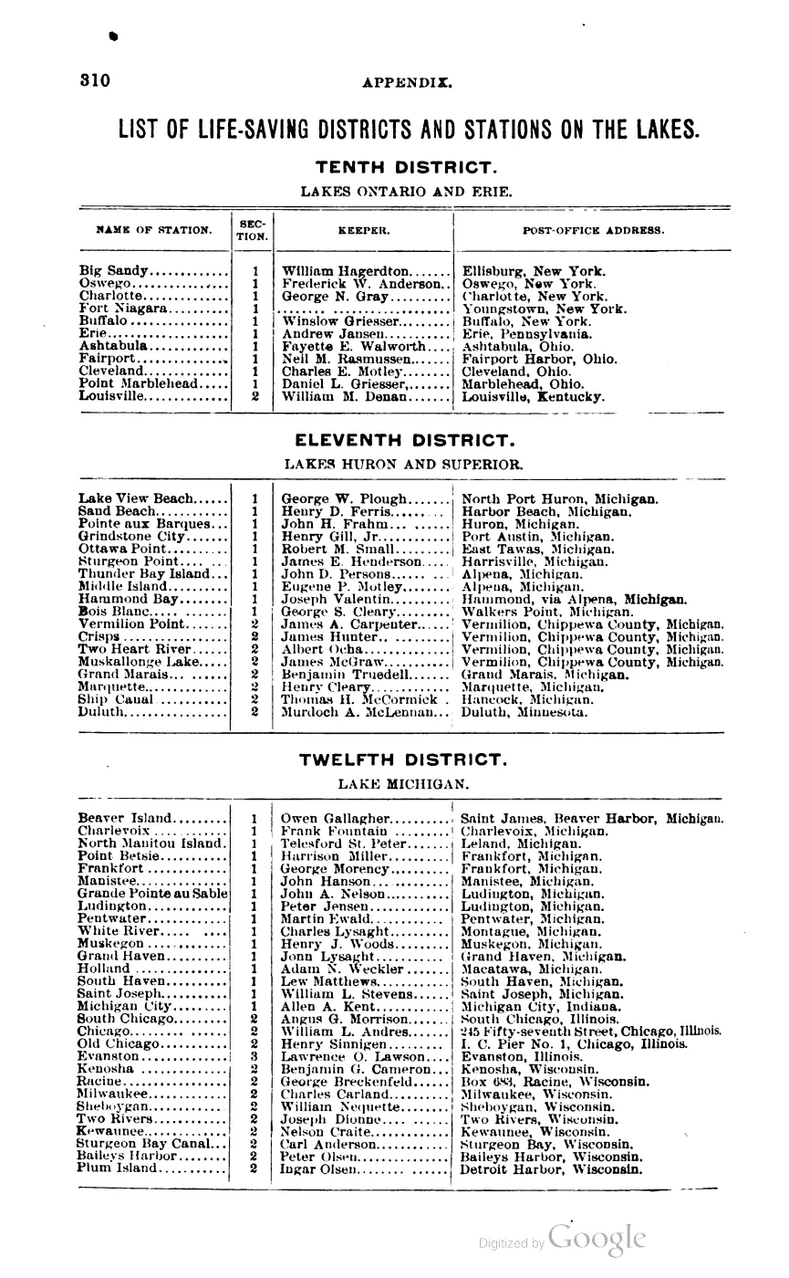
By 1902 the light-station stood beside the Twelfth (Lake Michigan) District’s Beaver Island life-saving station, whose keeper was Owen Gallagher, post office Saint James, Beaver Harbor, Michigan — Scott’s Coast Pilot places the life-saving station “about 165 feet west of light-house.”7 See Beaver Island Life-Saving Station.
Geography
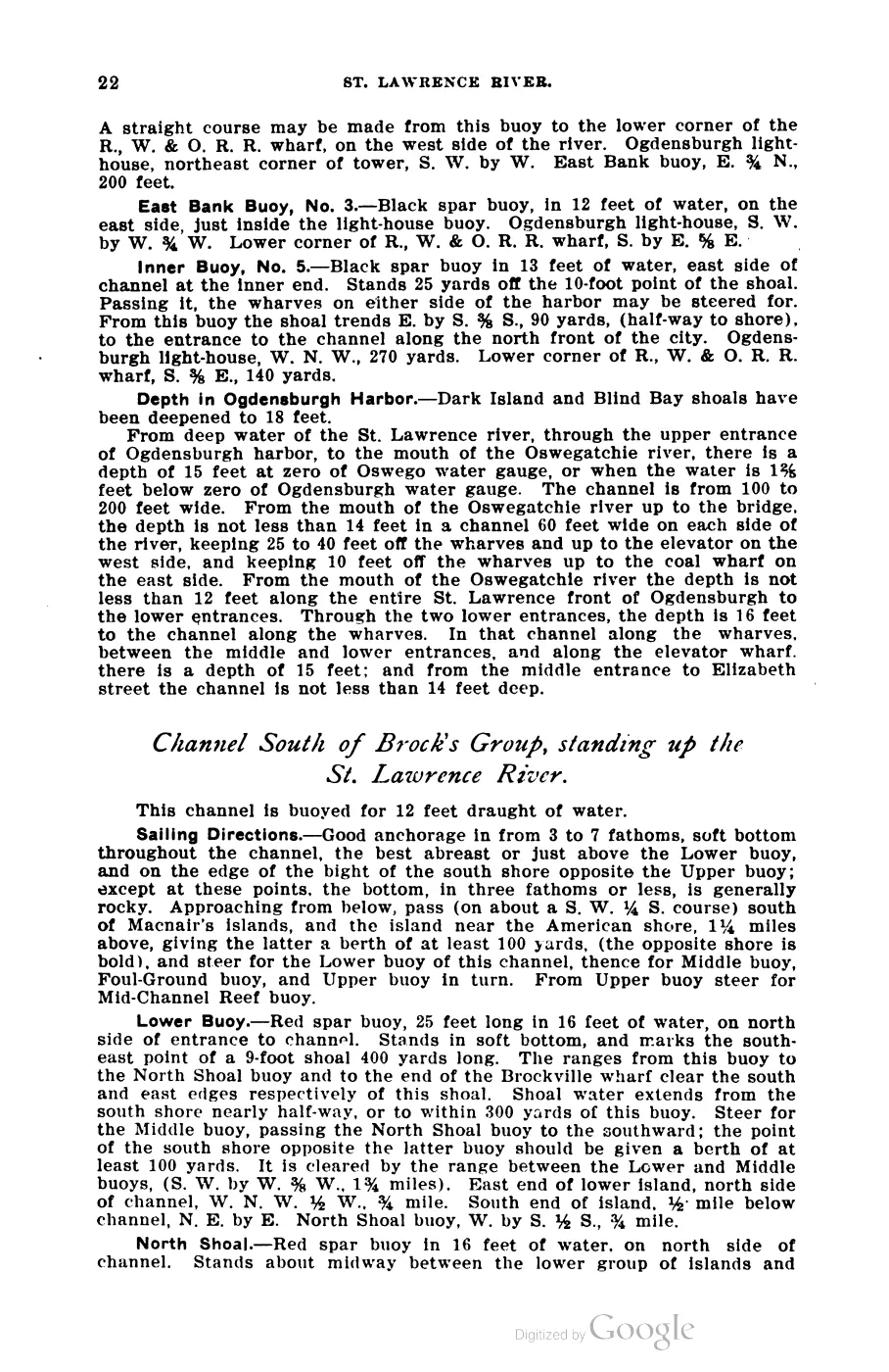
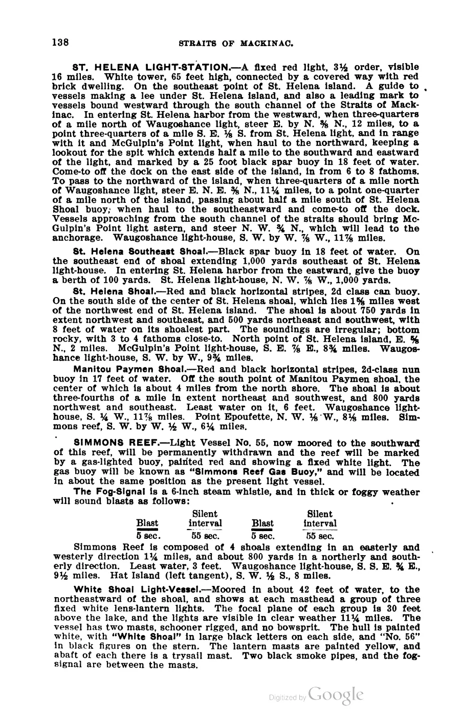
The light stands on the north side of the entrance to Beaver Harbor (Saint James harbor), on Whiskey Point. Scott’s Coast Pilot gives sailing directions: “with the light-house ahead, bearing N.W. by W., distant 1 mile, open the light a little on the starboard bow, heading about W.N.W., which will lead into the harbor. Pass the light-house, giving it a berth of about 200 yards.”7 Skilligallee (Île aux Galets) light bears E.S.E. ¾ E., 17 miles; the Hog Island Reef buoy bears E. ¼ S., 8¼ miles.7
Names
“Whiskey Point” is the operative former name for this site, not for the light itself: Quaife’s footnote and Strang’s own 1854 narrative both use it for the point and its pre-lighthouse fishing/trading rendezvous, decades before any tower stood there.12 The modern community newspaper still refers to “the Whiskey Point Light” as a synonym for this station.10 OpenStreetMap separately records the alt_name “Saint James Lighthouse.”11
Significance
This light and its keepers connect three of the cluster’s other subjects directly: the pre-lighthouse Whiskey Point of the Strang period (a flashpoint of Mormon-fisherman conflict), the life-saving station Scott’s Coast Pilot places 165 feet away, and Elizabeth Whitney Williams, whose memoir is one of the few first-person Great Lakes lighthouse-keeper accounts to also describe the Strang kingdom as a childhood eyewitness.
Open questions
- What physical apparatus served the station between its 1852 establishment and the 1856 tower? The 1855 chart proves a fixed light was operating, but does not describe its building.
- Van Riper’s given name (Clement) and the November 1872 drowning date rest on
a modern secondary source (the Northern Islander); Williams’s own memoir
does not give a date or his first name. Confidence on those two specific
facts is
probable, notestablished, pending a primary confirmation (e.g. a Life-Saving Service or Lighthouse Board annual report). - Current ownership is contested, not merely unconfirmed. lighthousefriends.com describes a 2000 renewable ten-year lease of the tower to St. James Township followed by a 2005 transfer of title to the Township under the National Historic Lighthouse Preservation Act of 2000.8 A later beaverbeacon.com piece (title and date not held here) instead calls the light privately owned. The two are not reconciled by any source consulted; a current deed or township record would settle it.
- NRHP reference 78001495 belongs to the other light, not this one.
Wikipedia’s article on this harbor light carries reference number 78001495,
but npgallery.nps.gov confirms that number is the listing for
Beaver Island Light Station (architect John McReynolds, period
of significance 1850-1874) at the island’s south end — a different
structure.12 This article’s
nrhp_ref_numis deliberately left blank rather than copying Wikipedia’s apparent error, and no dedicated NRHP nomination for this harbor light was found. A future editor should not add 78001495 here.
See also
Sources
Footnotes
-
Milo M. Quaife, The Kingdom of Saint James: A Narrative of the Mormons (Yale University Press, 1930), p. 116 n.,
data/books/internet_archive/kingdomofsaintja0000milo/kingdomofsaintja0000milo_djvu.txt. ↩ ↩2 ↩3 -
[James J. Strang], Ancient and Modern Michilimackinac (1854),
data/books/internet_archive/afk0709.0001.001.umich.edu/— a partisan Mormon-authored narrative; used here only for the mention of Whiskey Point as the fishermen’s landing and Peter McKinley as trader there. ↩ ↩2 -
Elizabeth Whitney Williams, A Child of the Sea; and Life Among the Mormons (1905),
data/books/internet_archive/childofsealifeam00will/childofsealifeam00will_djvu.txt. ↩ ↩2 ↩3 ↩4 ↩5 -
U.S. Coast Guard Historian’s Office, “St. James (Beaver Island Harbor) Light.” ↩
-
Beaver Island Historical Society, Beaver Island Historical Map (1978 revision). ↩
-
US Lake Survey, “North End of Lake Michigan Including the Beaver Island Group,” surveyed 1854-55;
data/federal/noaa_charts/images/1855_NORTH-END-OF-LAKE-MICHIGAN-INCLUDING-THE-BEAVER-ISLAND-GROUP-NORTH-END_LC00010-00-1855WWL.jpg. ↩ -
George Scott, Scott’s New Coast Pilot for the Lakes, 6th ed. (Detroit: Free Press Printing Company, 1902), p. 140. ↩ ↩2 ↩3 ↩4
-
“Beaver Island Light, Michigan,” lighthousefriends.com, retrieved 2026-07-31, https://www.lighthousefriends.com/light.asp?ID=206. ↩ ↩2
-
“Beacon on Whiskey Point: The Beaver Island Harbor Light,” northernmichiganhistory.com, retrieved 2026-07-31, https://northernmichiganhistory.com/beacon-on-whiskey-point-the-beaver-island-harbor-light/. ↩
-
Northern Islander, April 2026 issue,
data/books/internet_archive/northern_islander_2026.04_April— modern secondary retelling; used only for details not in Williams’s own memoir, flagged asprobable. ↩ ↩2 -
OpenStreetMap contributors, way 503112264,
data/osm/lighthouses_maritime.geojson. ↩ -
National Park Service, National Register of Historic Places Asset Detail, reference 78001495, retrieved 2026-07-31, https://npgallery.nps.gov/AssetDetail/NRIS/78001495. ↩
The dated record
Read the document
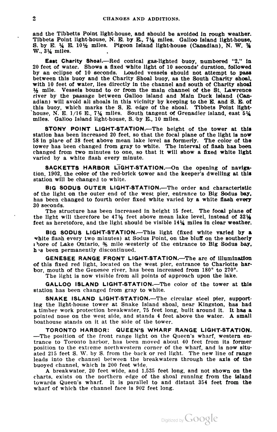
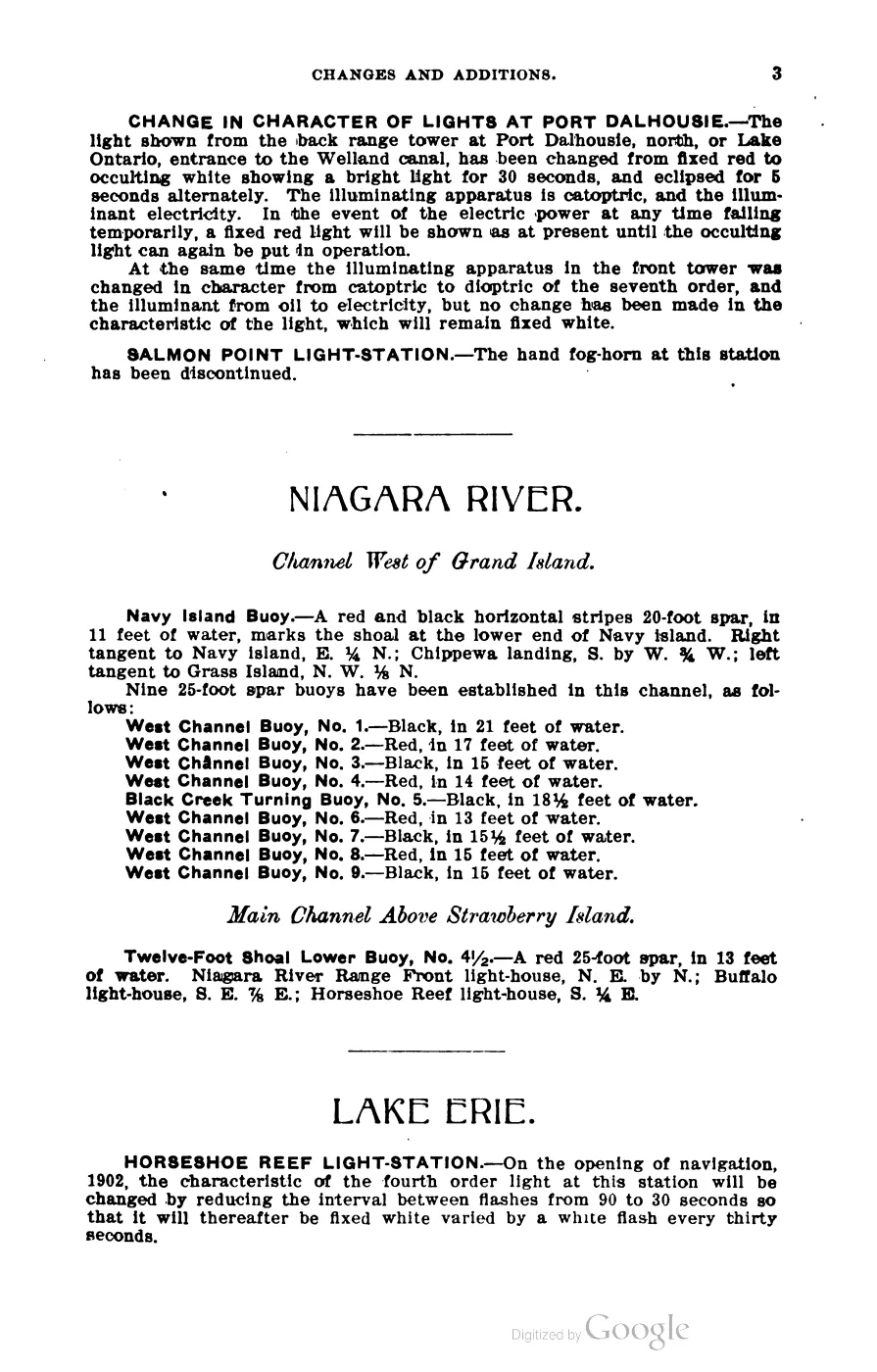
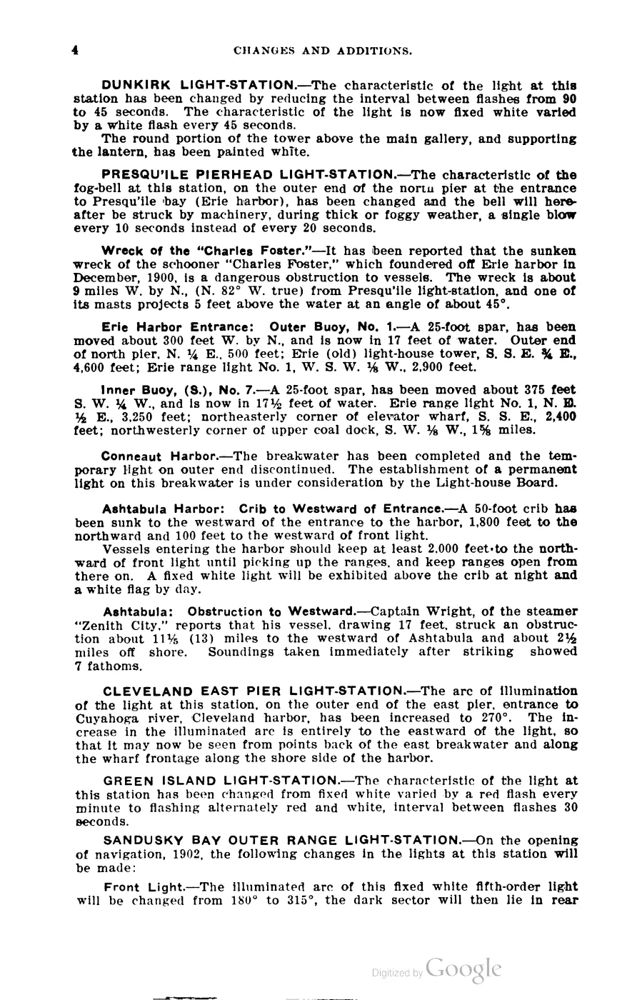
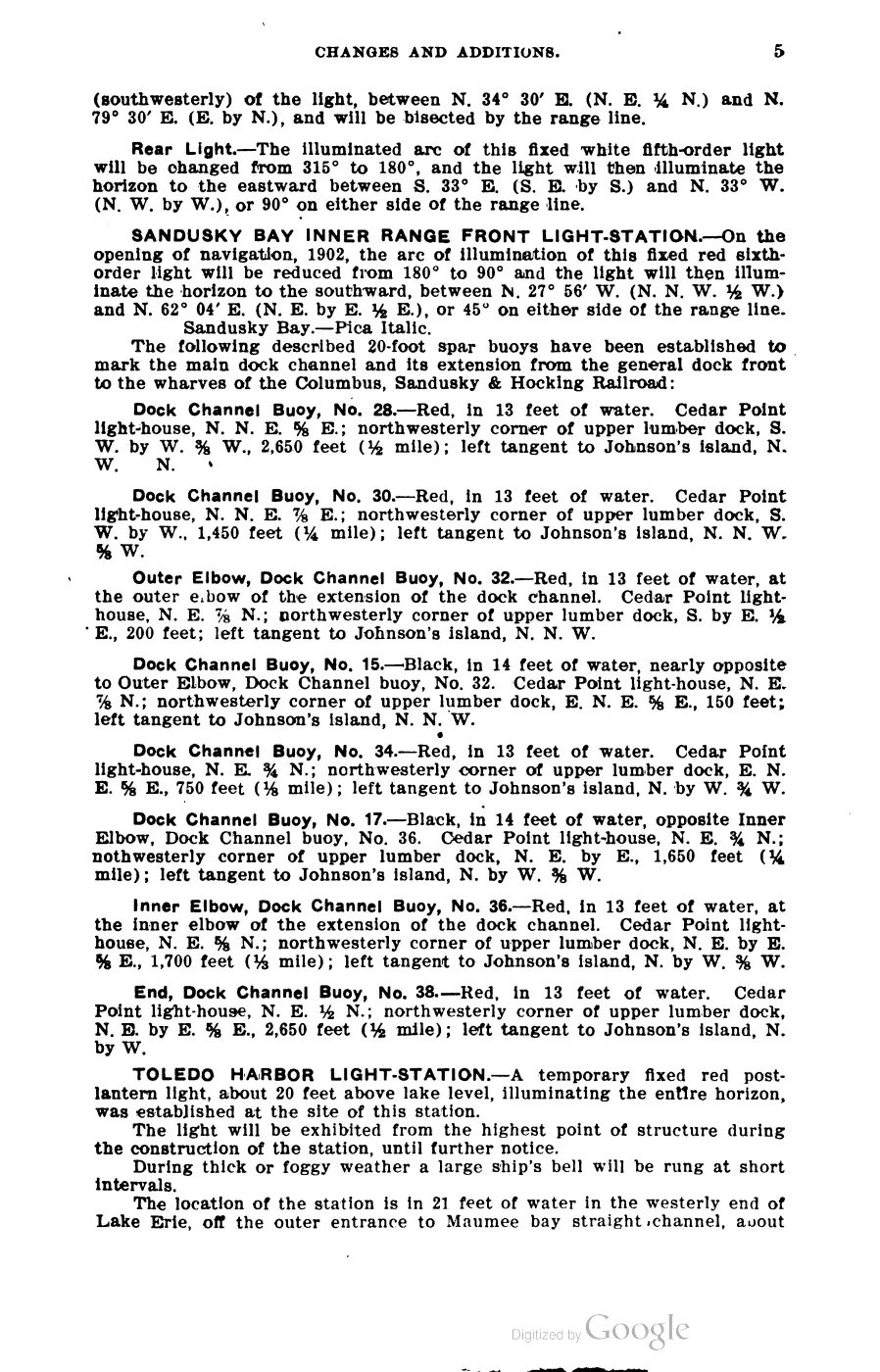
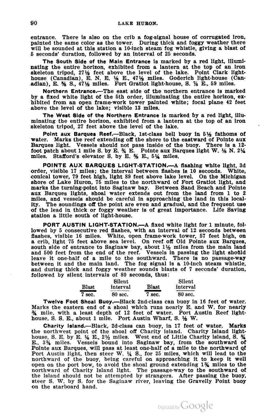
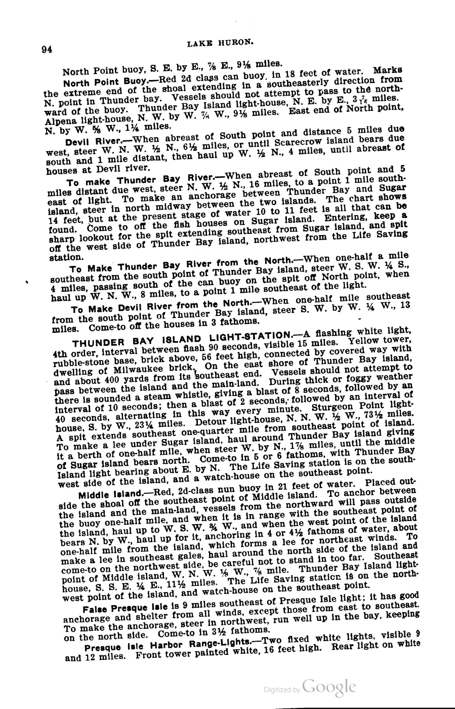
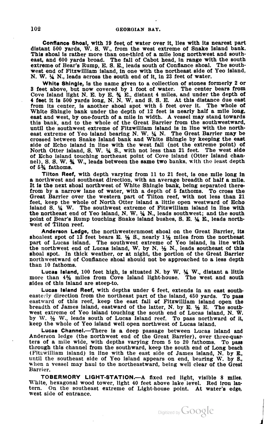
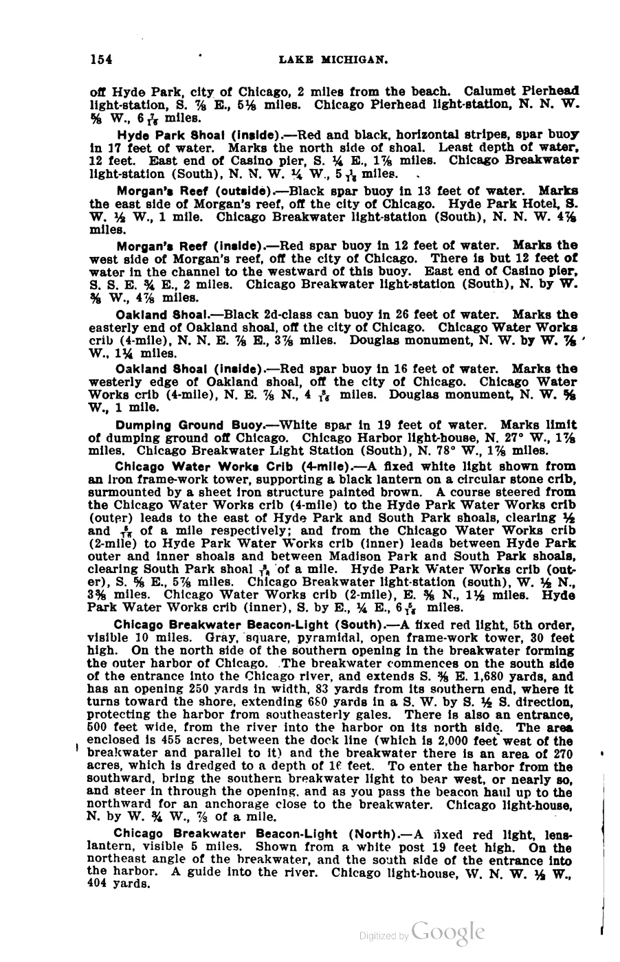
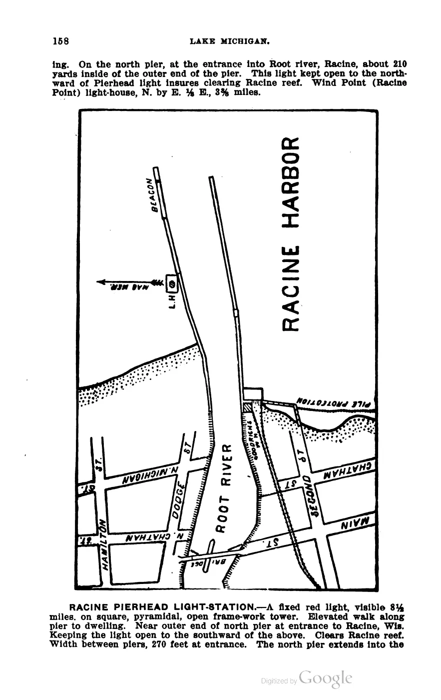
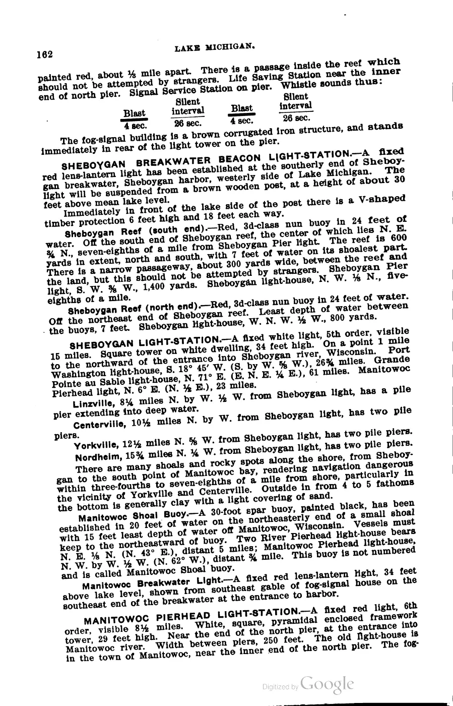
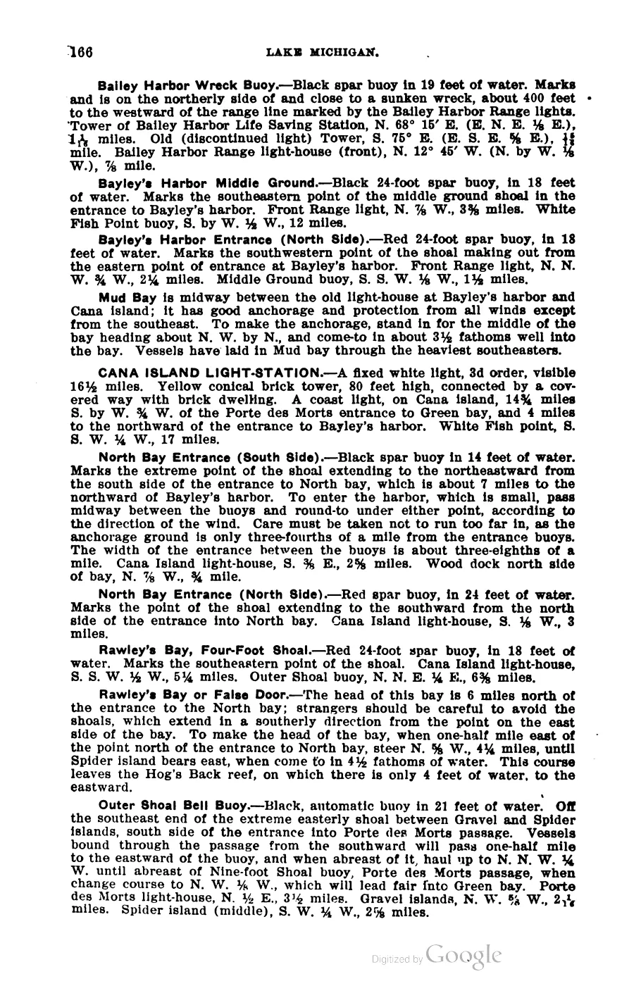
393 pages, rendered from the held scan.

Jump to a page — 393 in all








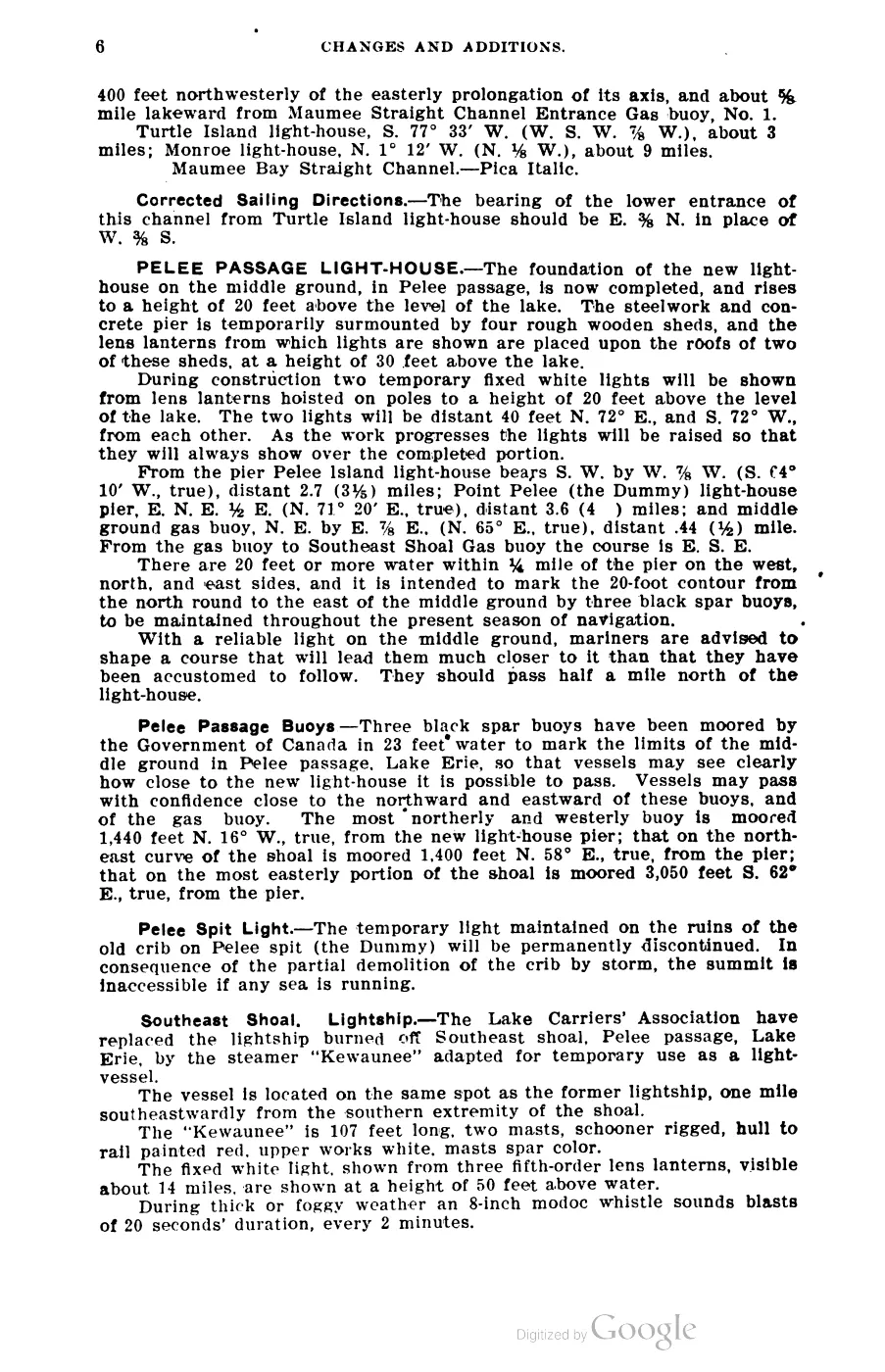
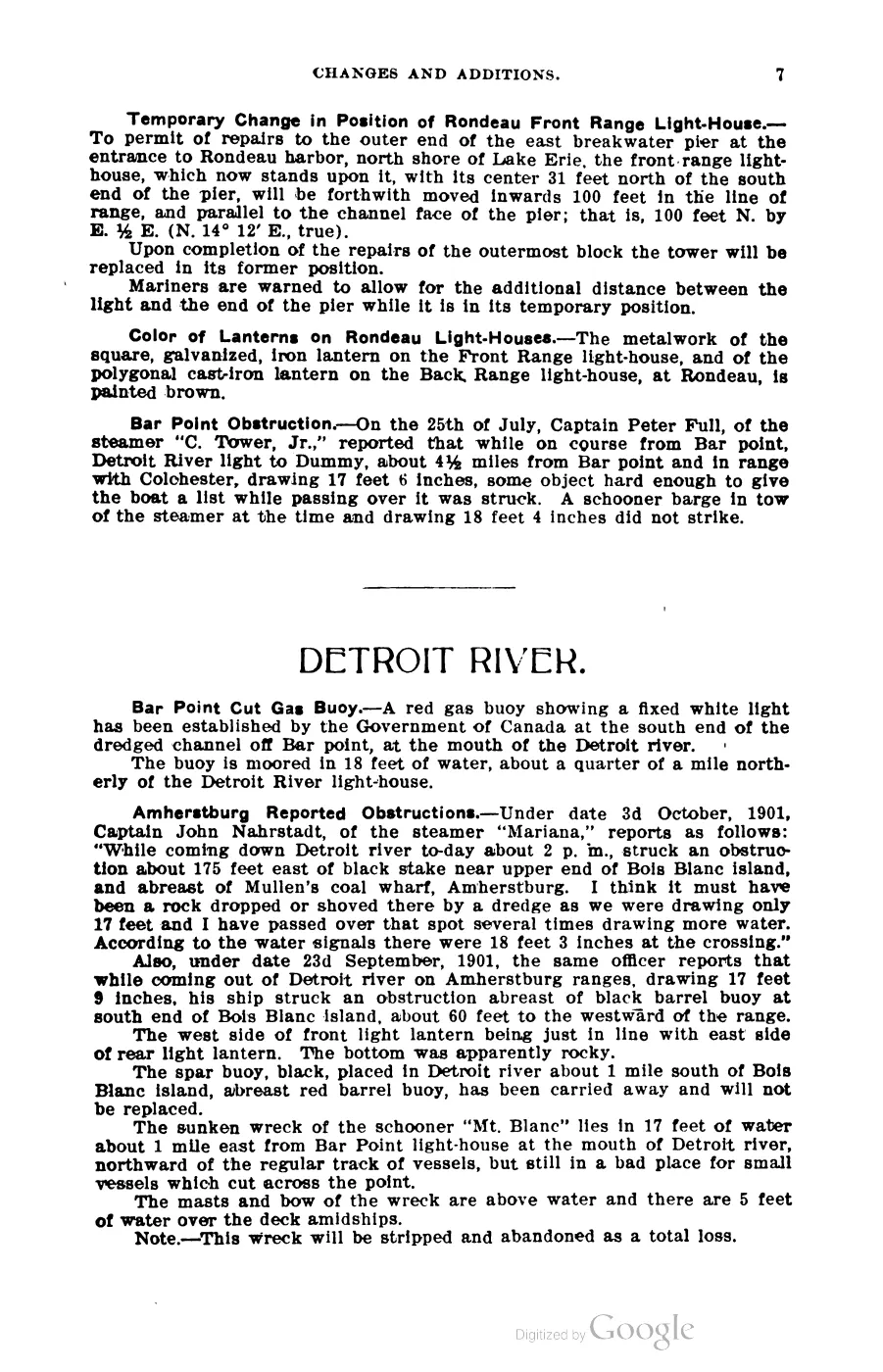
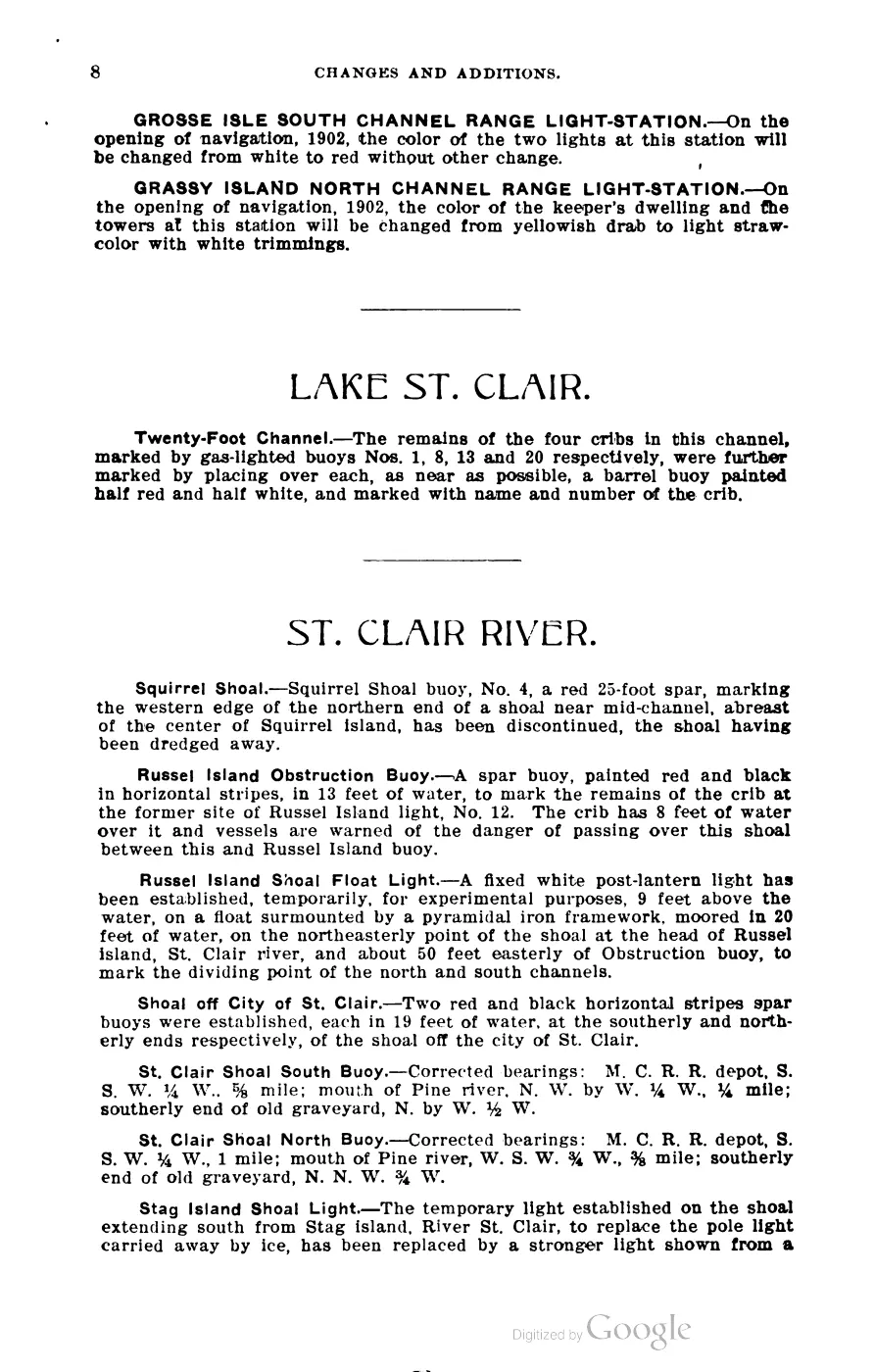
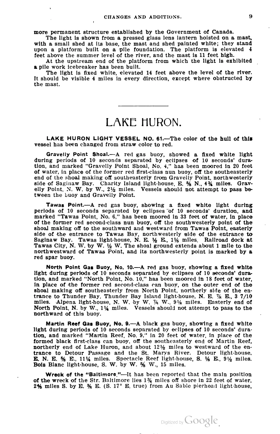
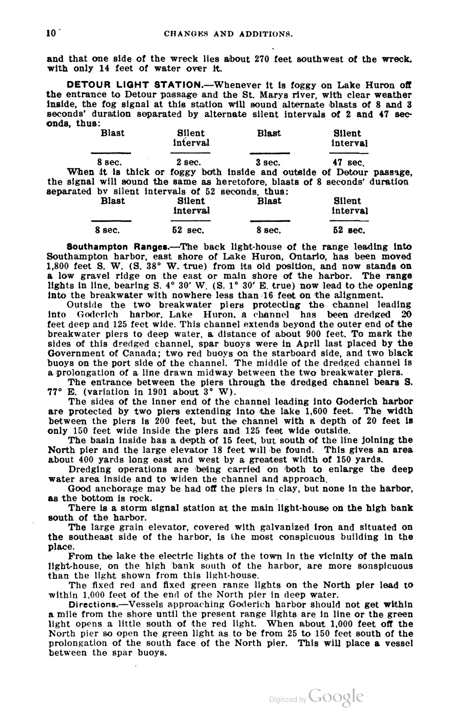
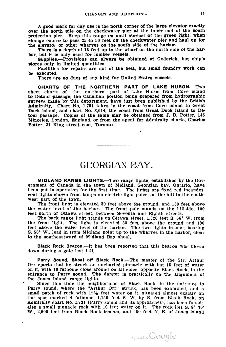
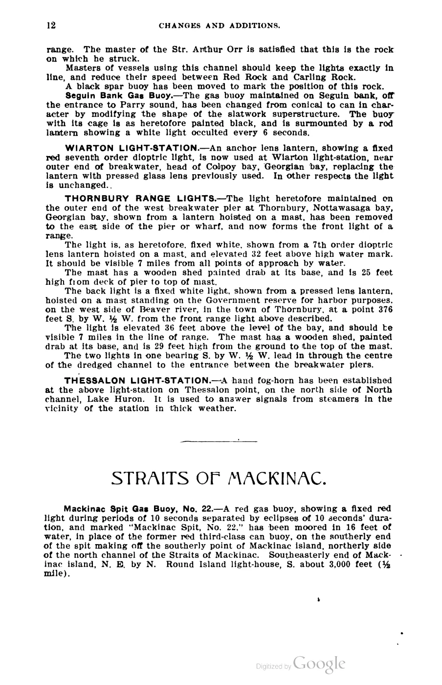
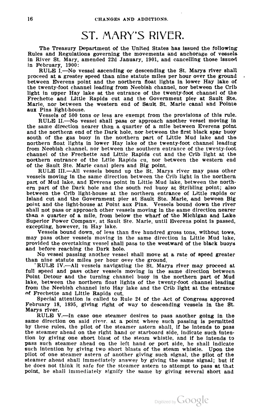

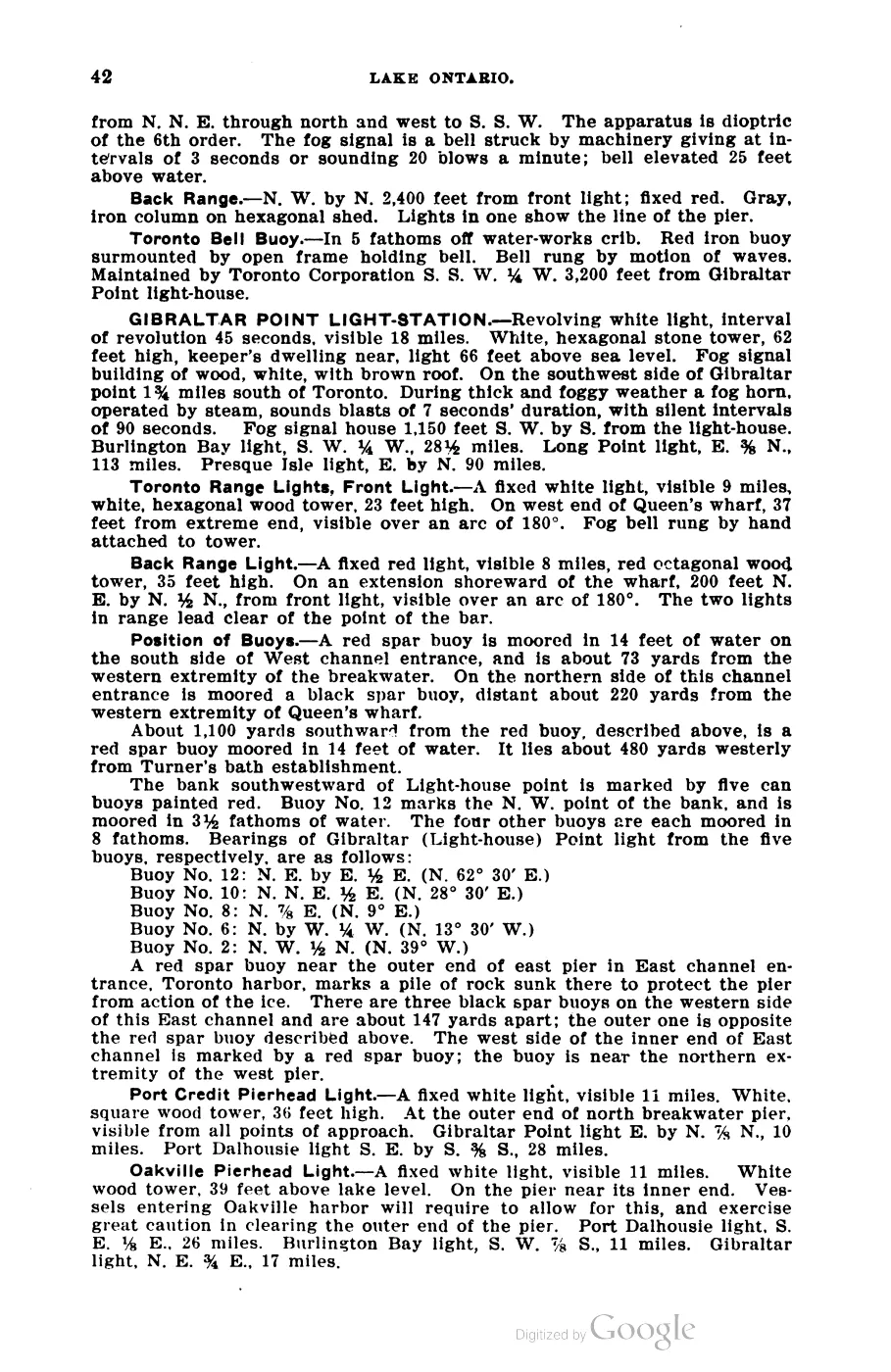
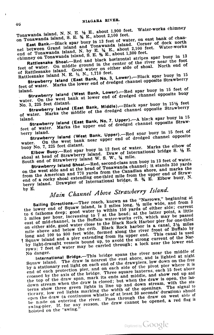
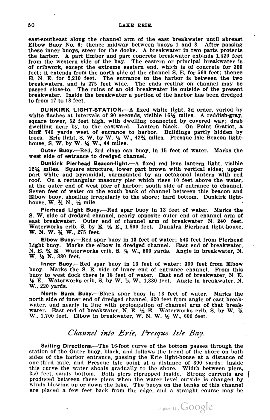
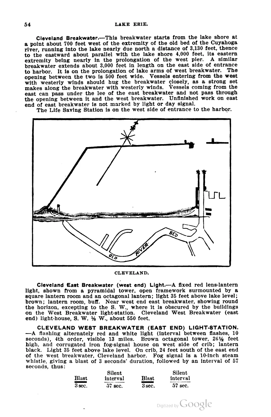
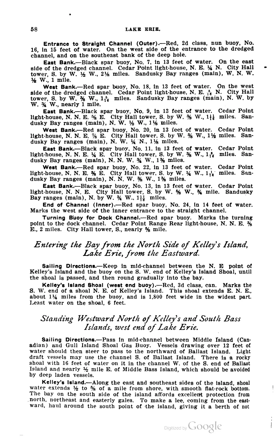
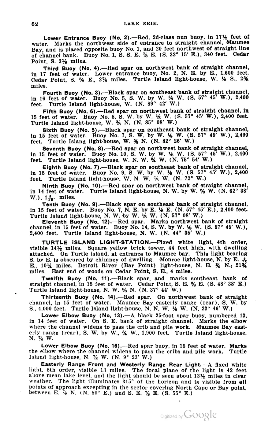
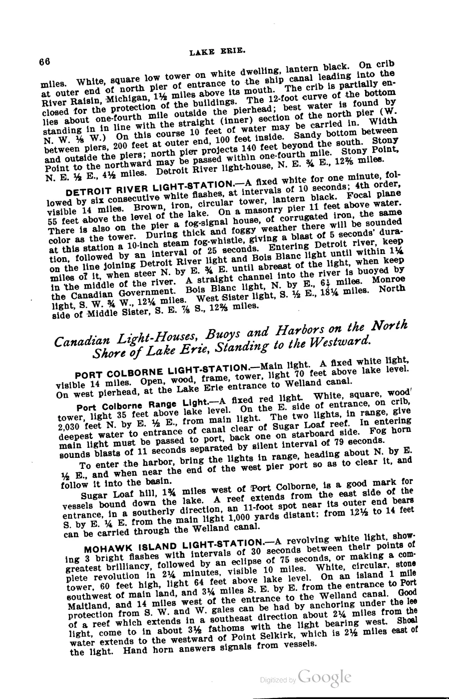
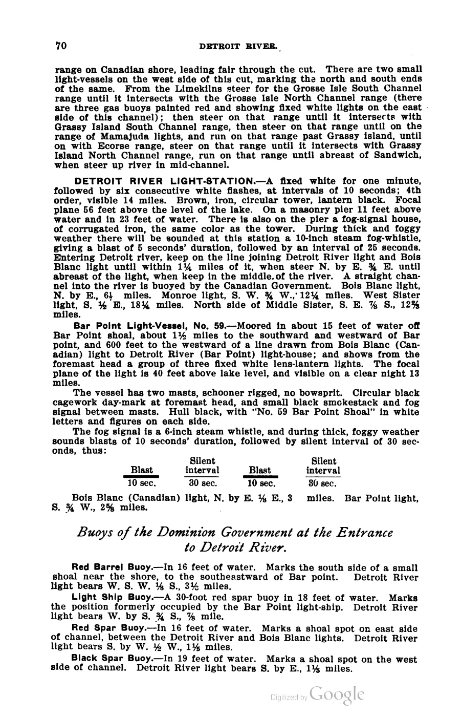
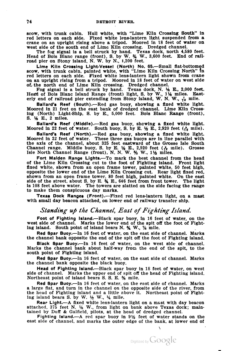
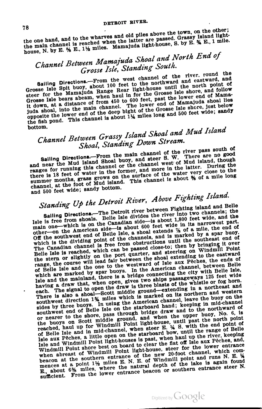
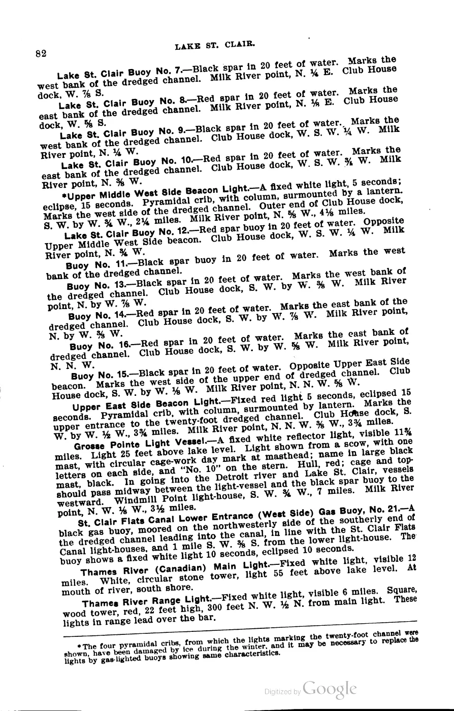
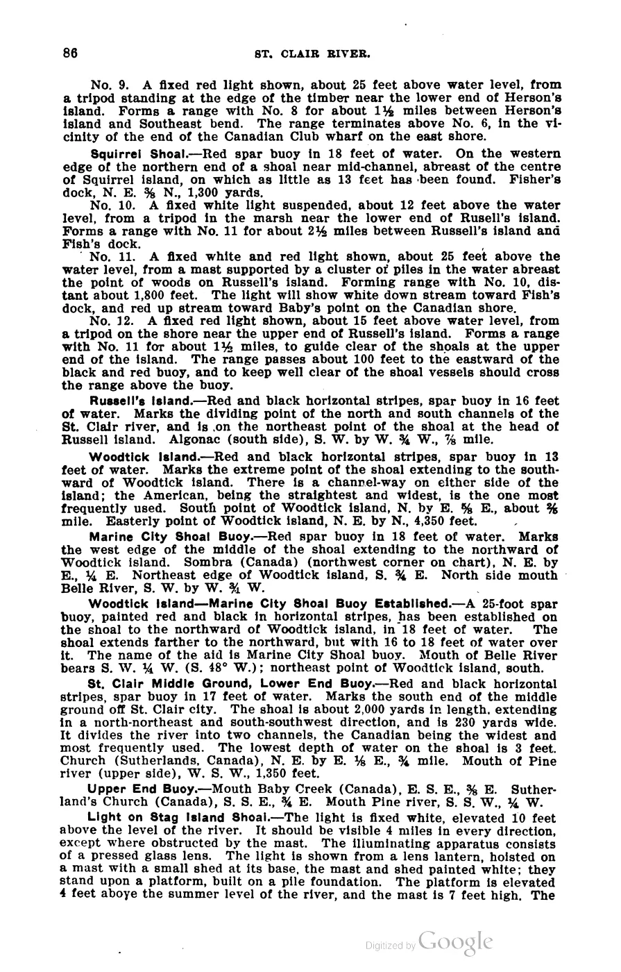
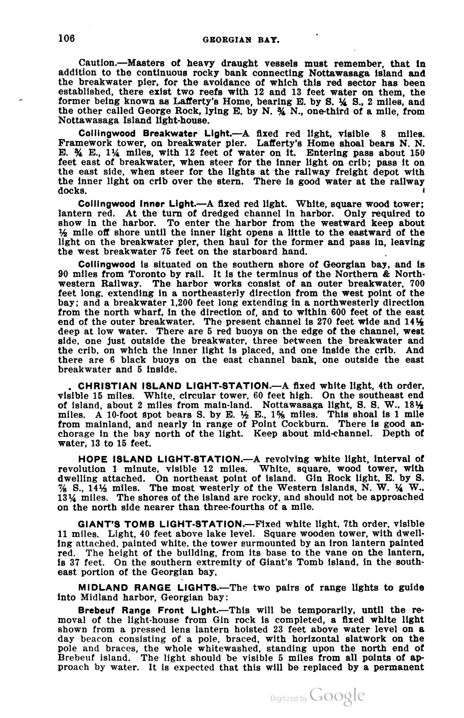
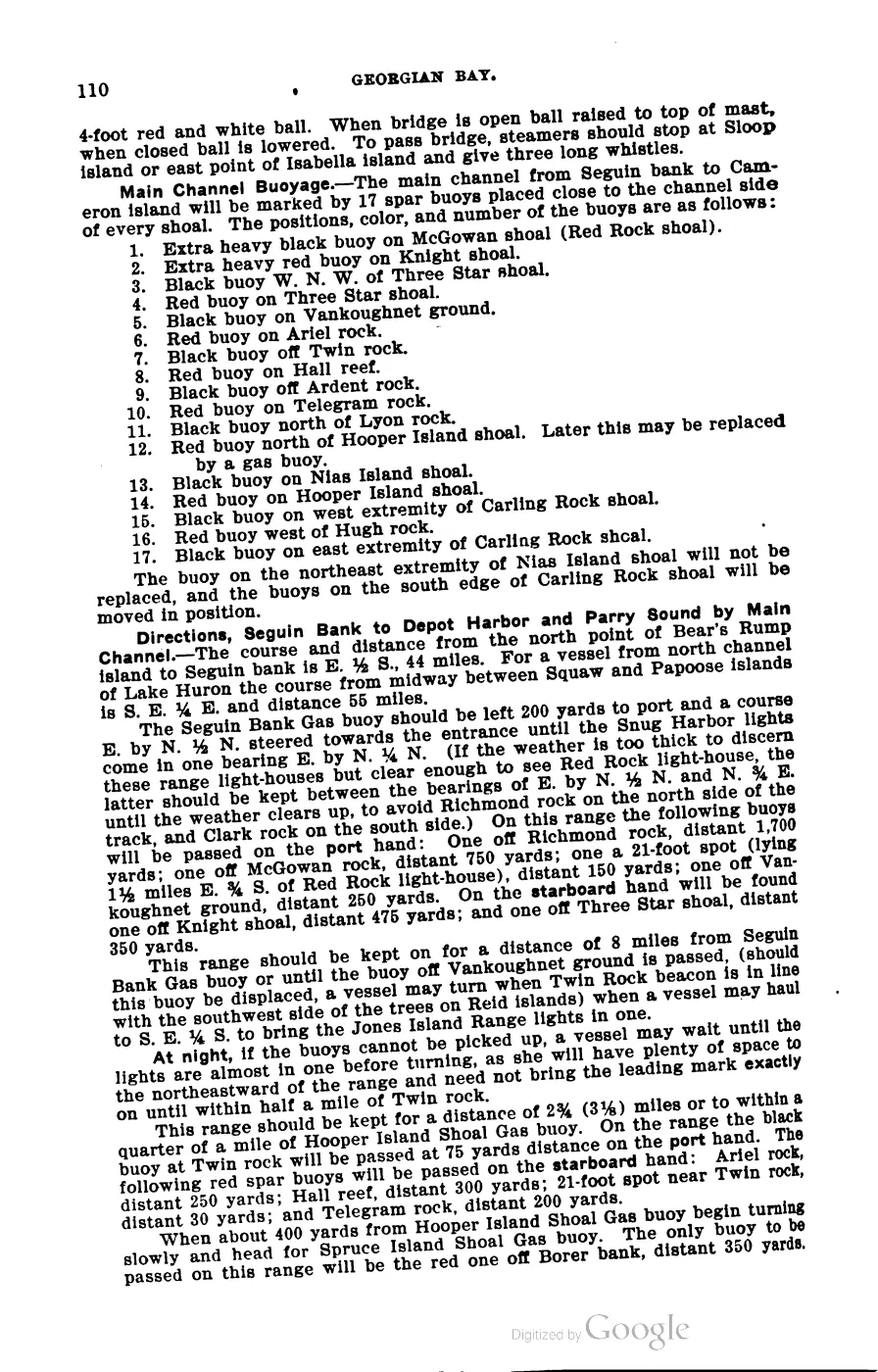
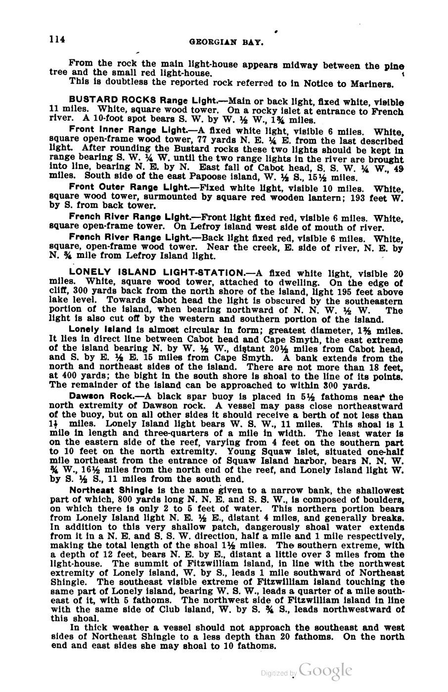
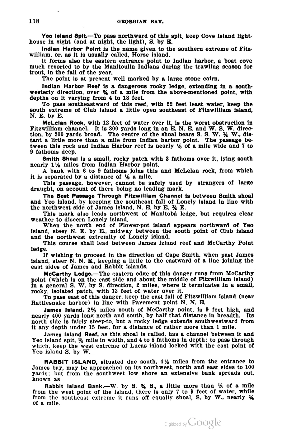
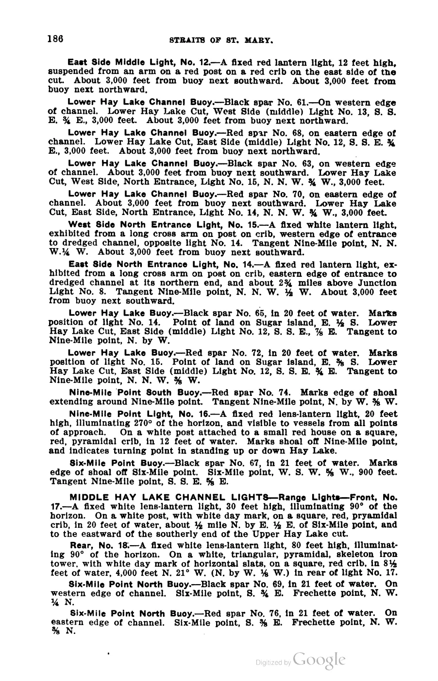
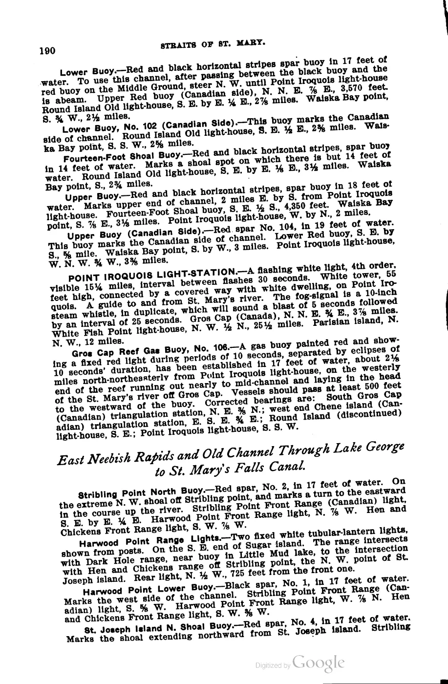
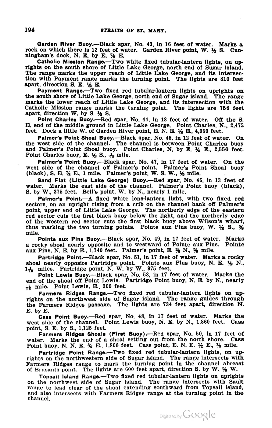
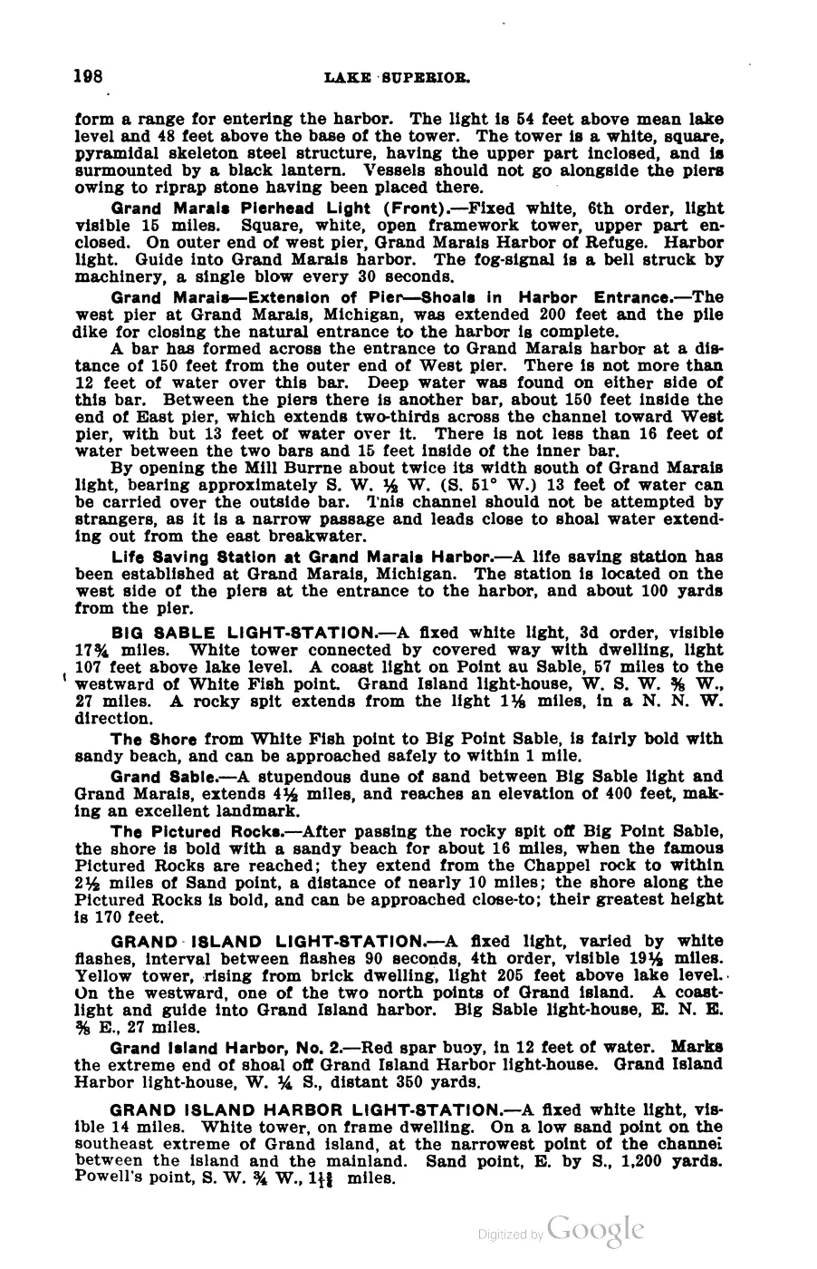
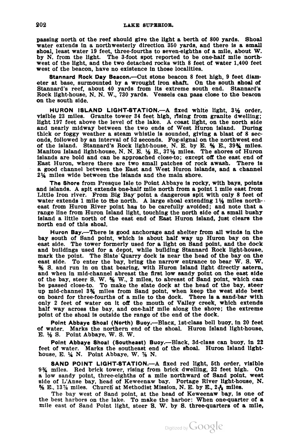
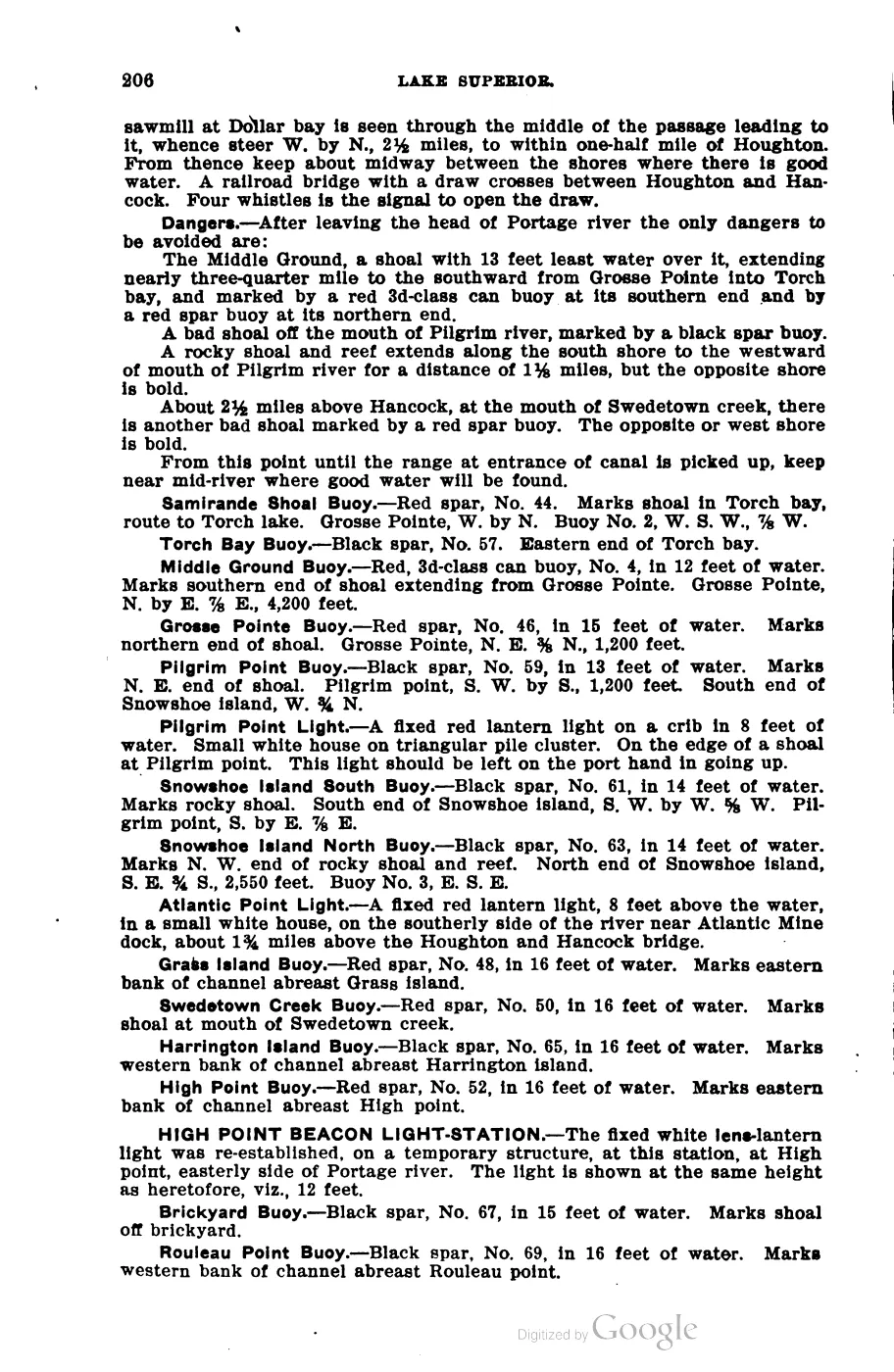
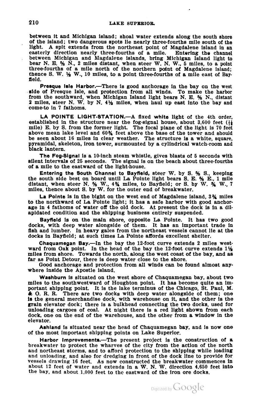
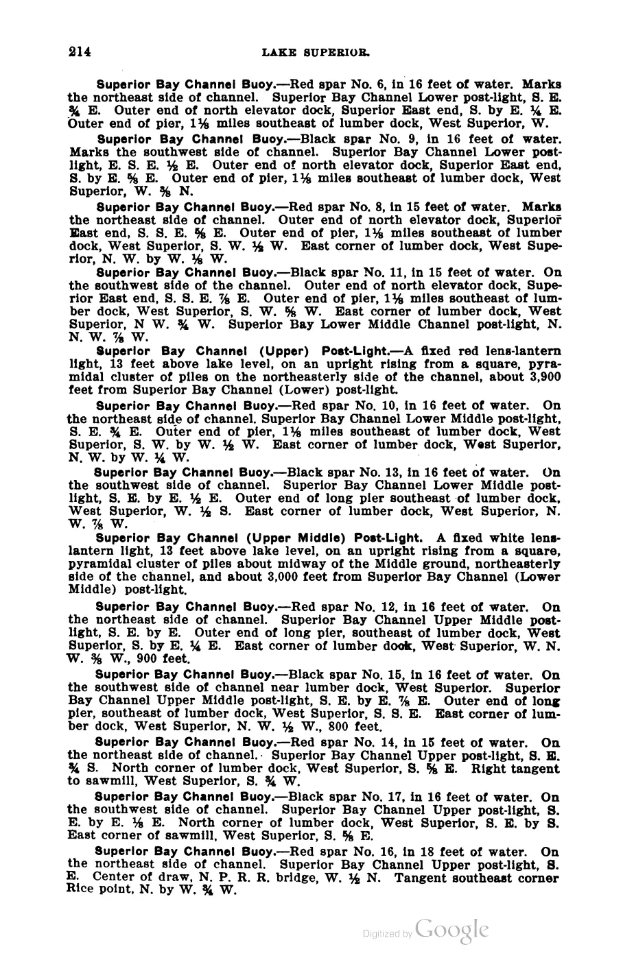
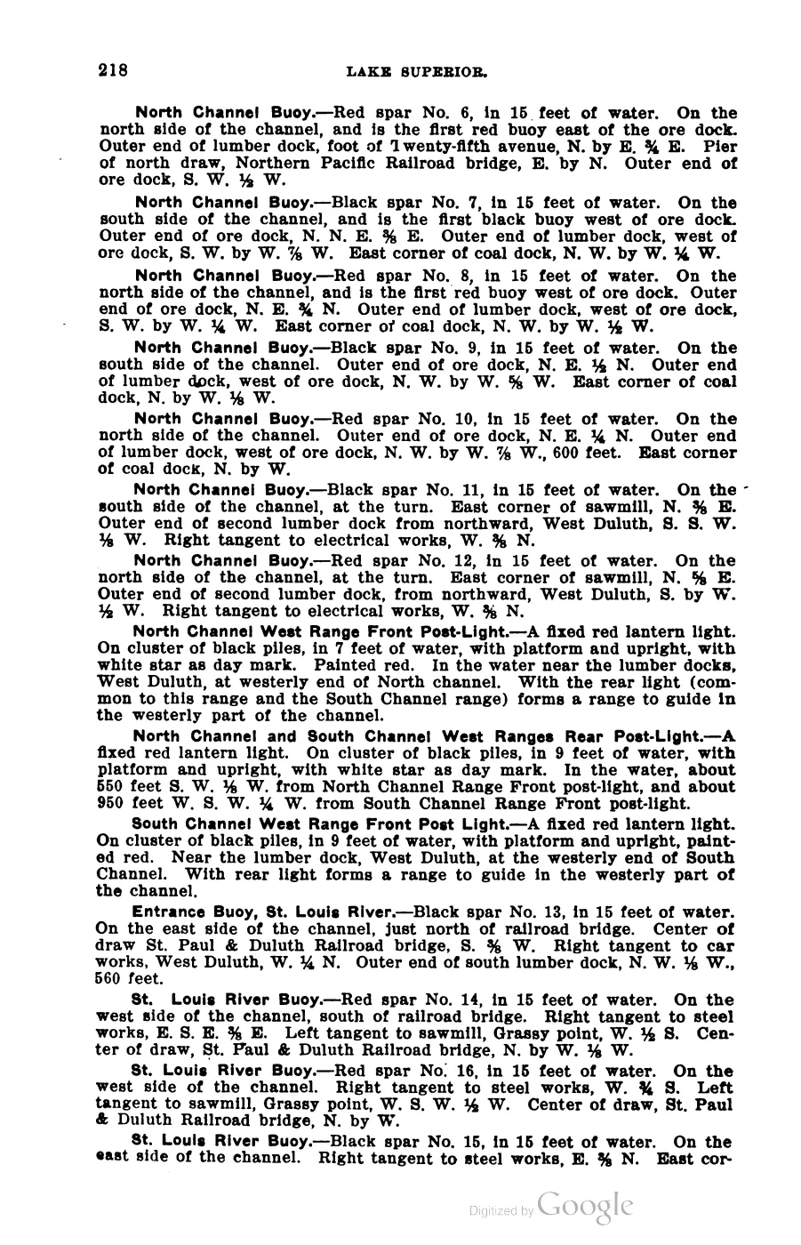
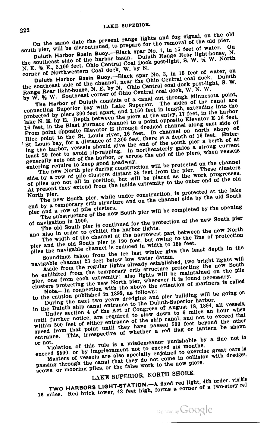
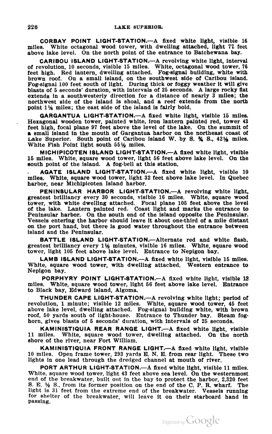
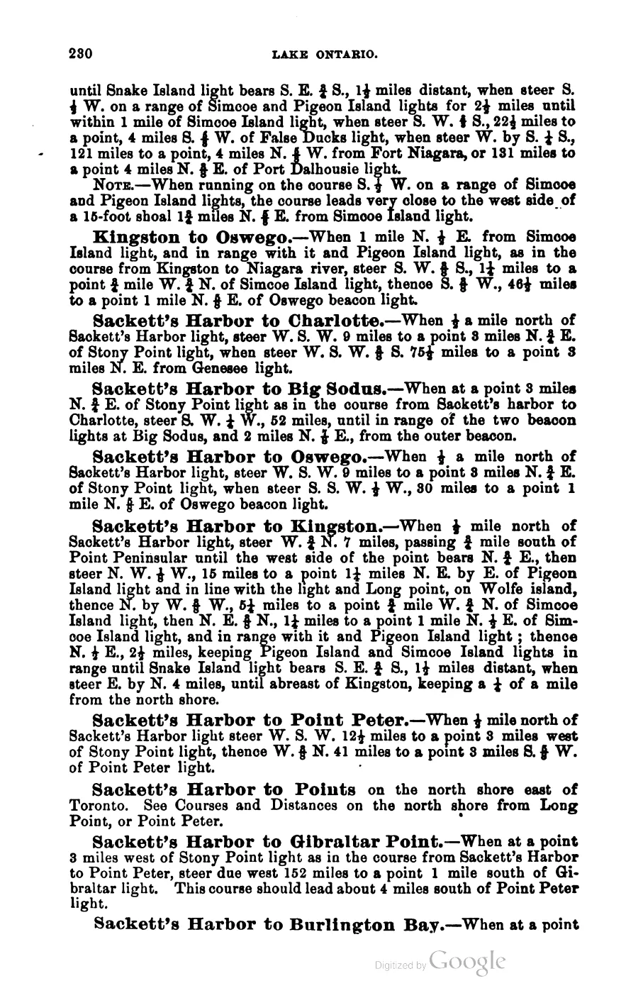
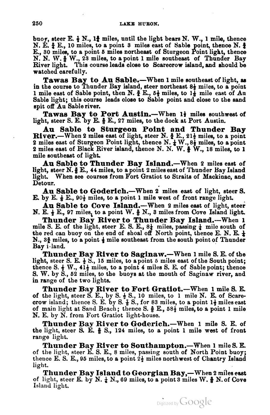
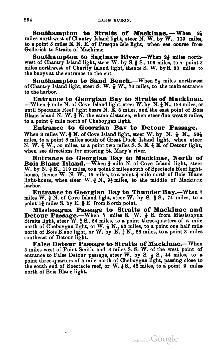
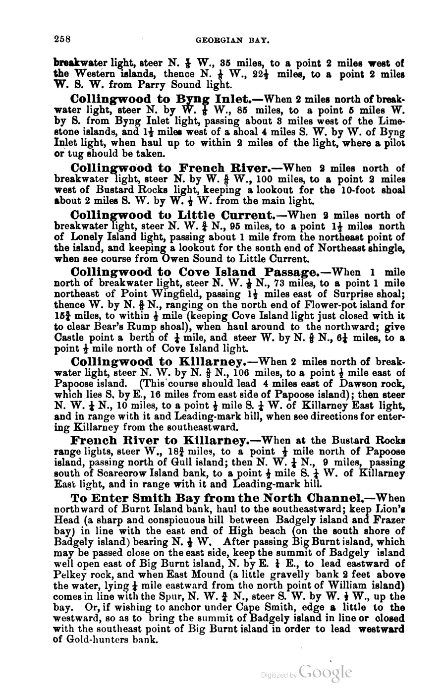
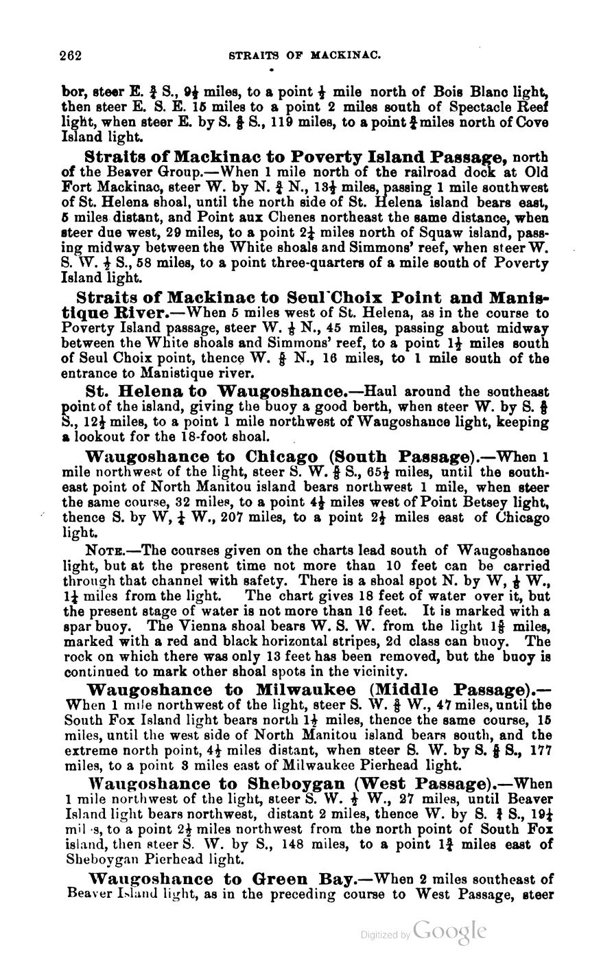
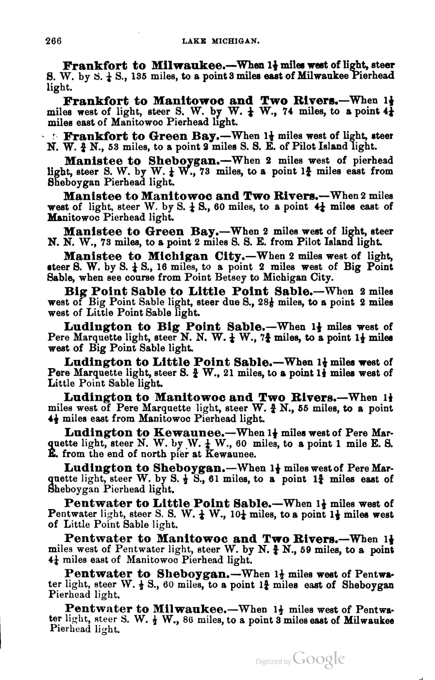
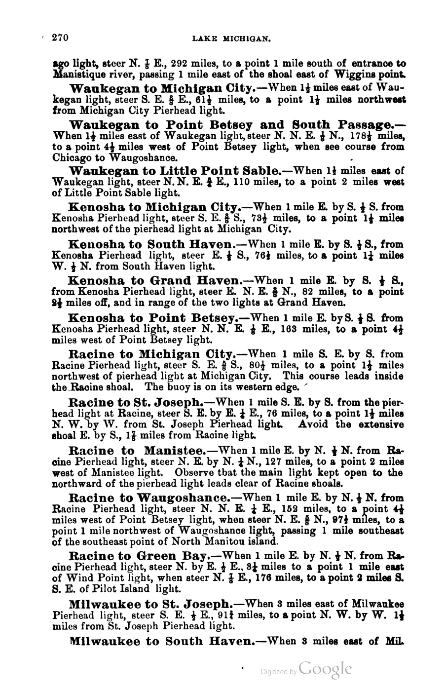
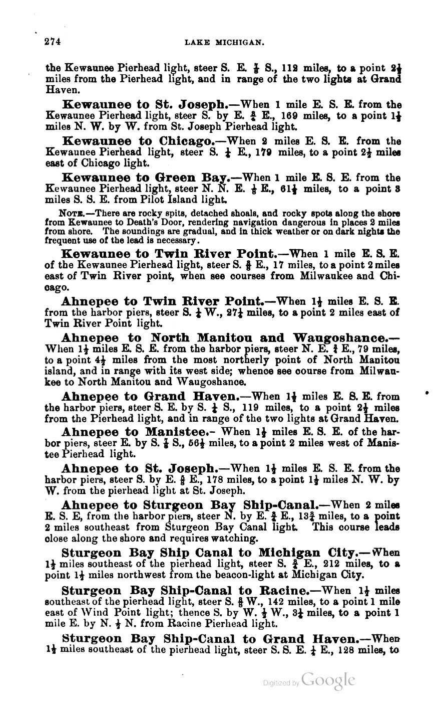
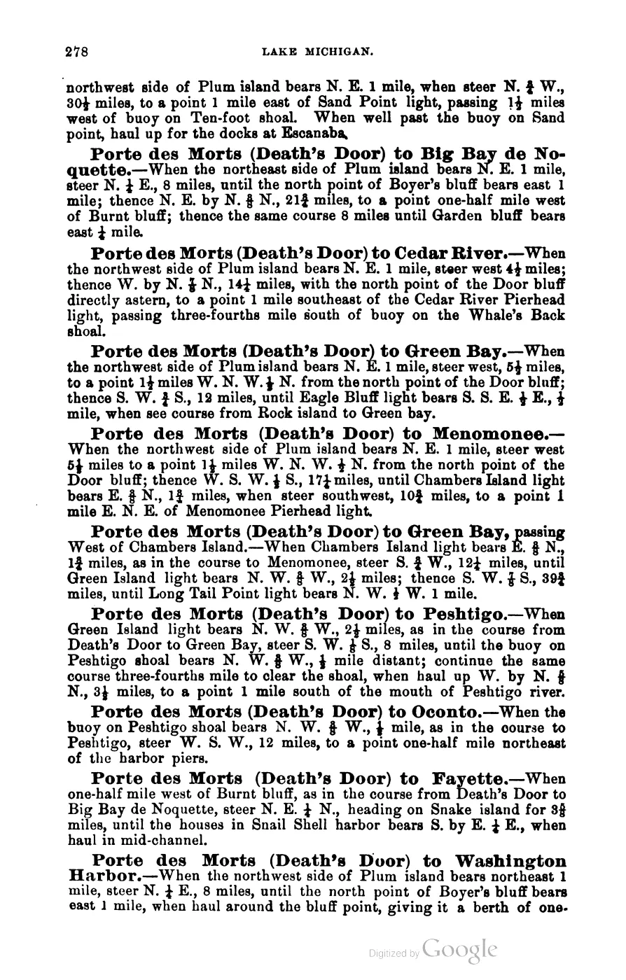
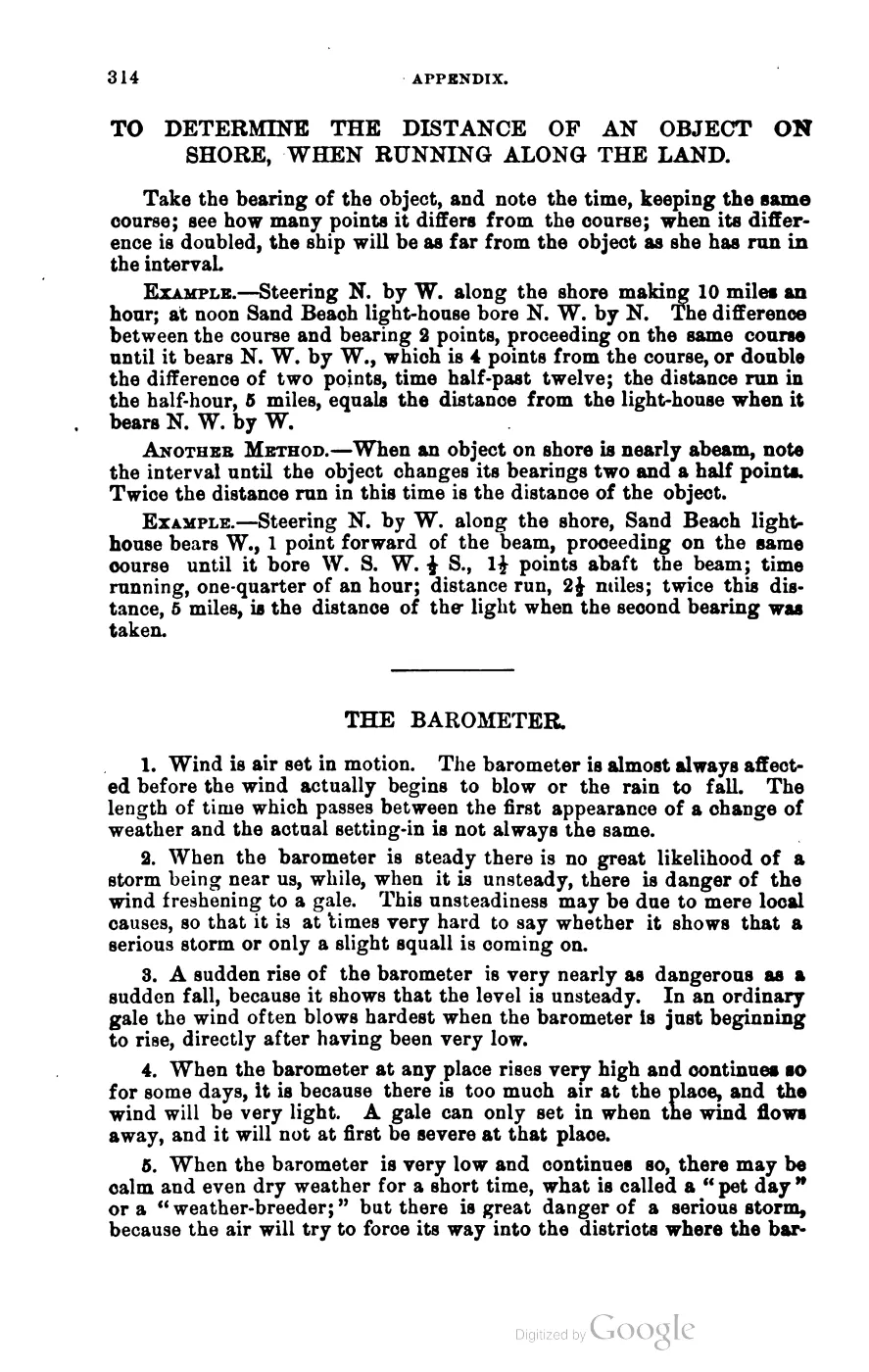
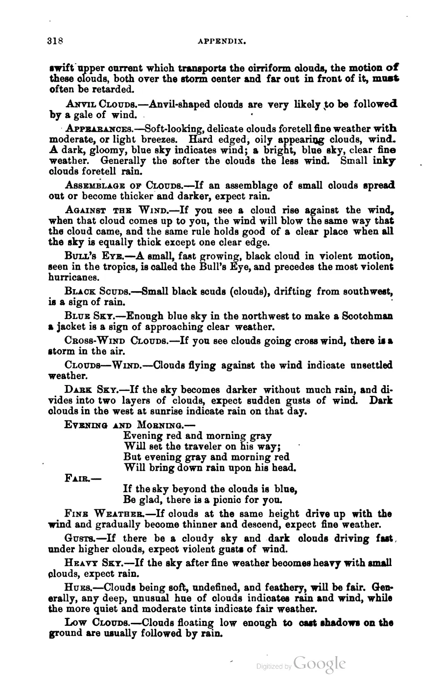
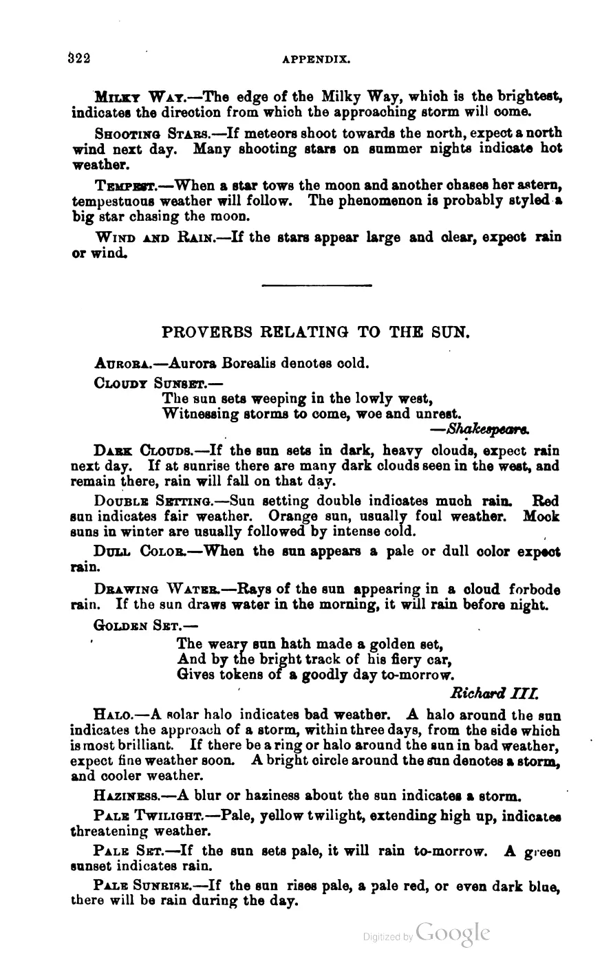
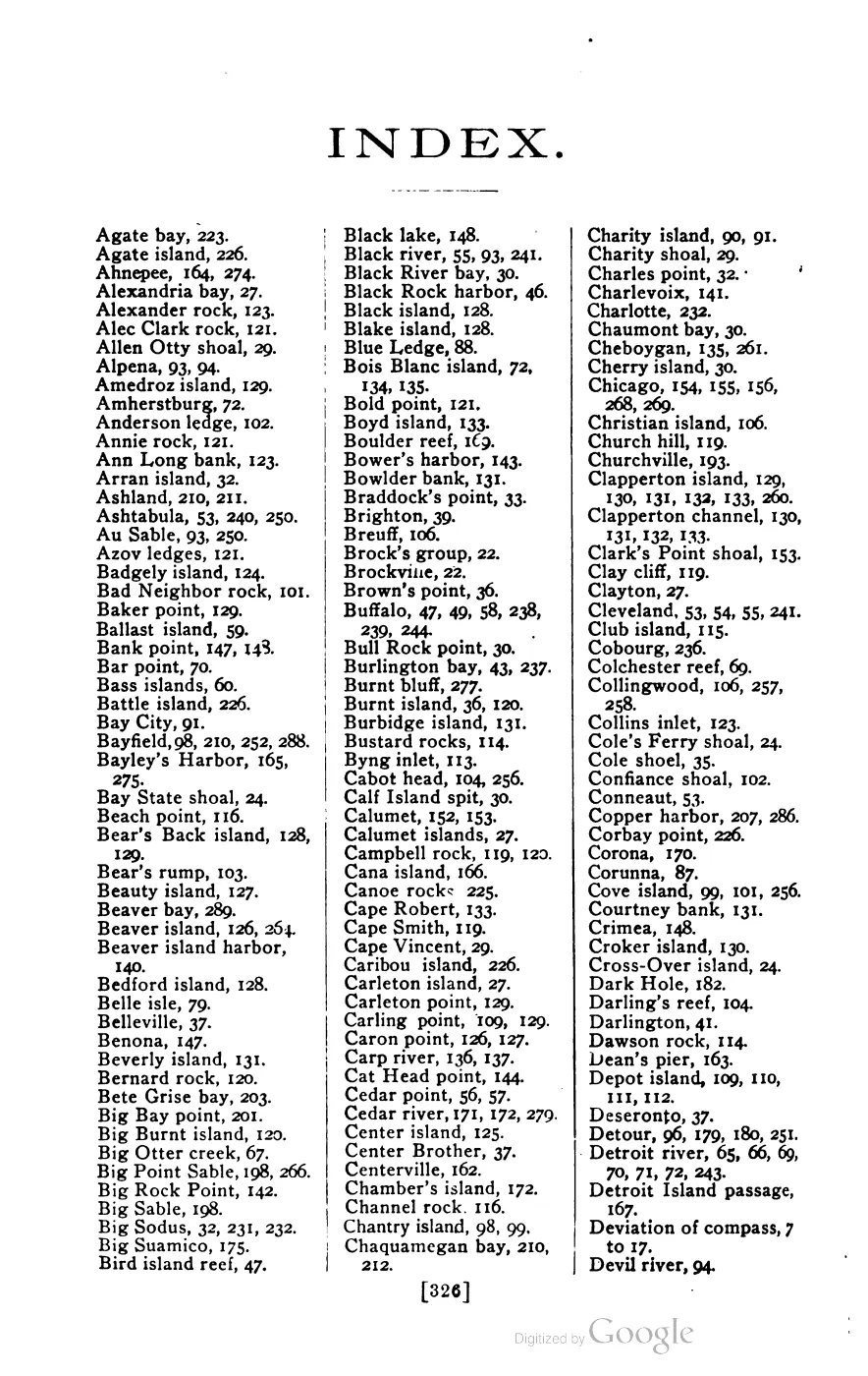





135 of 393 pages linked here — every page to 32, then every 4th, then the last 16. With JavaScript, every page.
Sources
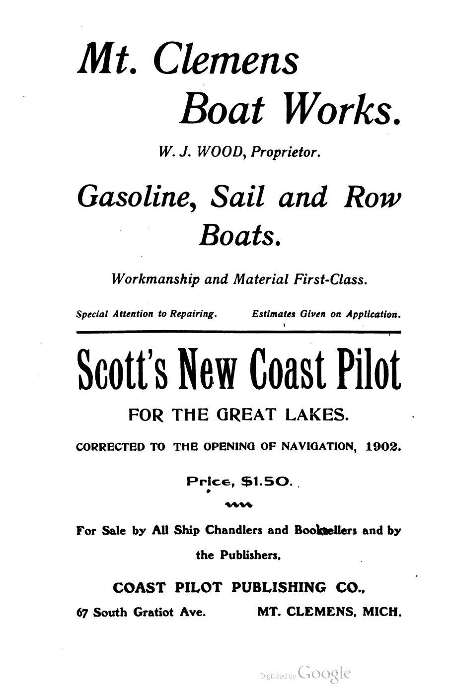
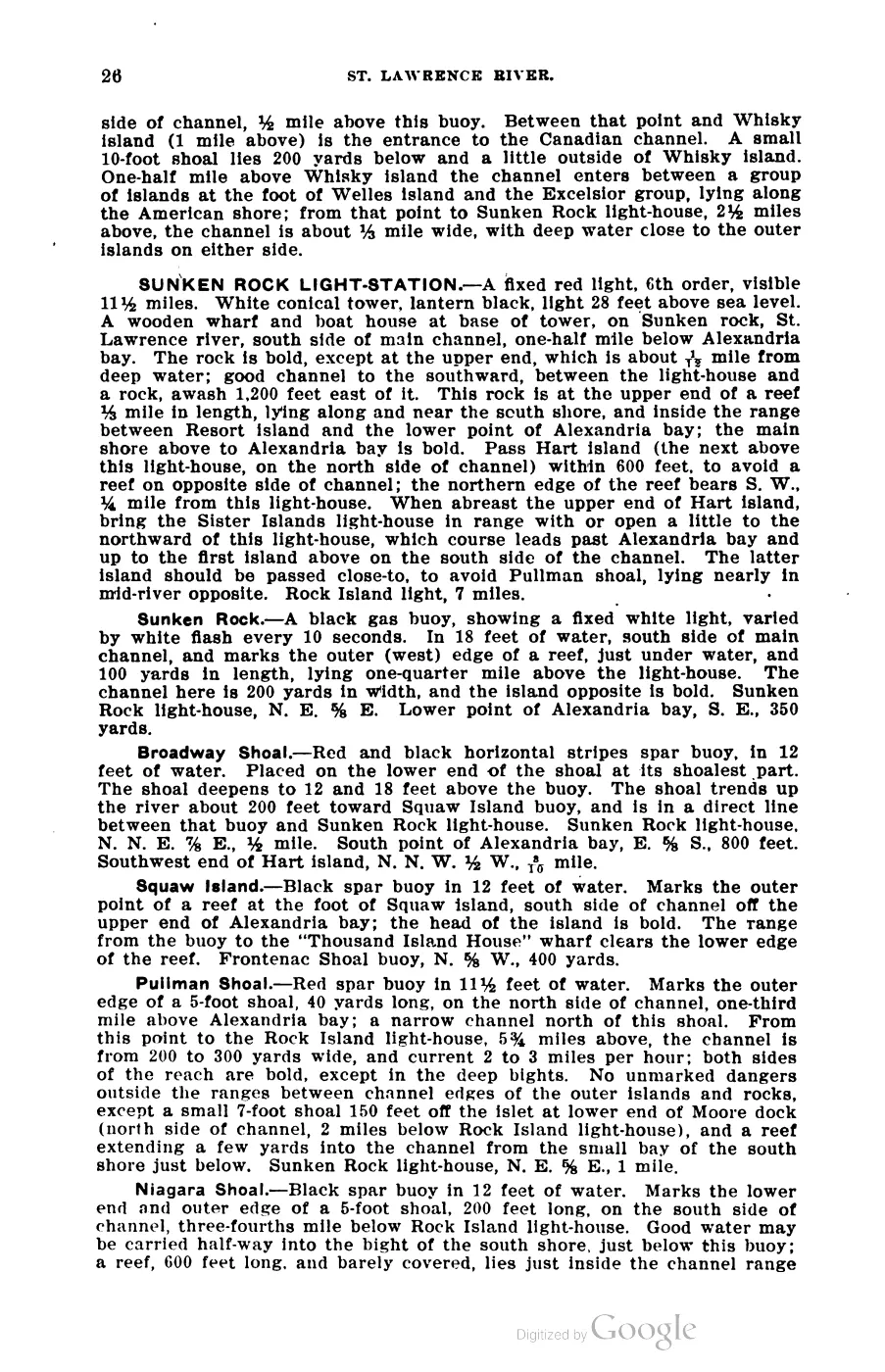
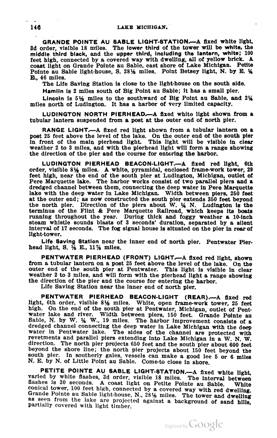
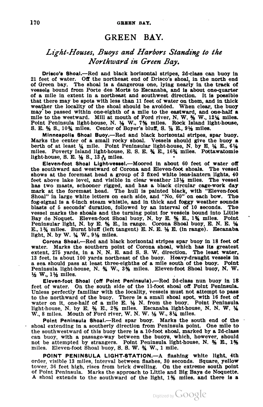
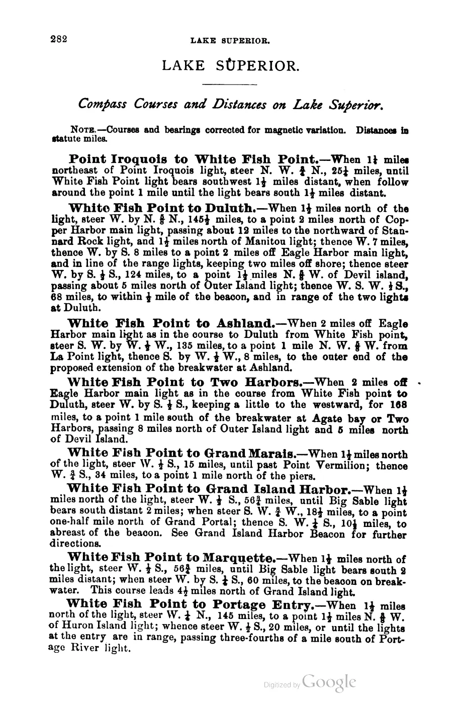
- George Scott, Scott's New Coast Pilot for the Lakes, 6th ed. (Detroit: Free Press Printing Company, 1902), p. 140.Full light characteristic, verbatim: 'BEAVER ISLAND HARBOR LIGHT-STATION. A fixed red light, 4th order, visible 13 miles. White tower, 34 feet high, connected by a covered way with dwelling, all white. On the north side of the entrance into Beaver harbor... Life-Saving Station about 165 feet west of light-house.' No public copy of this file is known; the archive holds one and can provide it on request.local_documents · 1902_scott-new-coast-pilot-for-the-lakes-6ed
- Table 'Light Houses' lists 'Beaver Harbor Lt. Ho., fixed, 30 ft above lake, visible 12½ statute miles' — pre-1870 characteristic, before the tower rebuild described by Williams.federal · noaa_charts · images · 1855_NORTH-END-OF-LAKE-MICHIGAN-INCLUDING-THE-BEAVER-ISLAND-GROUP-NORTH-END_LC00010-00-1855WWL
- U.S. Coast Guard Historian's Office, “St. James (Beaver Island Harbor) Light,” retrieved 2026-08-07.Records the station as established in 1852, an earlier Beaver Island lighthouse built in 1856, and the present tower first lit in 1870. The historical narrative is published by the Coast Guard but credits a volunteer author; it is read alongside the contemporary 1855 chart and Williams's first-person 1870 account.
- Described in this archive: Beaver Island History Map, 1978 revision.Prints “Beaver Harbor Light ... 1856.” This is accurate for the earlier tower, not the standing 1870 tower.
- First-person account: her husband Mr. Van Riper appointed keeper Aug 1869 succeeding Peter McKinley; new tower and brick kitchen built spring 1870 with a new 4th-order lens, light changed from white to red; Van Riper drowned attempting to rescue the crew of a sinking vessel with the first mate of the schooner Thomas Howland (so spelled in the island's own later accounts; the 1905 memoir's OCR gives Rowland); the author was appointed keeper herself 'a few weeks after,' remarried (becoming Mrs. Daniel Williams), and was transferred to the Little Traverse (Harbor Point) light station in 1884.
- Footnote: 'Whiskey Point lay across the harbor from the Mormon settlement, where today the lighthouse and life-saving station are located.' Identifies the light's site with the pre-lighthouse fishermen's rendezvous of the Strang period.
- Modern footprint, alt_name and Wikidata/Wikipedia cross-reference.osm · lighthouses_maritime
- States "a new cylindrical brick tower was built in 1870"; also records a 2000 renewable ten-year lease of the tower to St. James Township and a 2005 transfer of title to the Township under the National Historic Lighthouse Preservation Act of 2000.
- Confirms reference 78001495 is listed as "Beaver Island Light Station" (architect John McReynolds, period of significance 1850-1874) — the south-end light, [[structure/beaver-island-light-station]] — not this harbor light. Wikipedia's article on this harbor light appears to have copied that number in error; it is NOT adopted here, and `nrhp_ref_num` for this article is deliberately left blank.
- States "the light that stands today was constructed in 1870, replacing the earlier structure," consistent with Williams' 1905 memoir; does not address current ownership.
- Despite its URL, this page describes the south-end Beaver Island Light Station (Charlevoix Public School District ownership since decommissioning in 1962), not this harbor light — corroborating that the two are distinct structures. Cited here only for that distinction; its substantive content is used in [[structure/beaver-island-light-station]].

Added 28 July 2026 · revised 7 August 2026. Recent changes
Cite this article
Beaver Island Archive, “Beaver Island Harbor Light”, https://beaverislandarchive.org/structures/beaver-island-harbor-light/, accessed [date], citing George Scott, Scott's New Coast Pilot for the Lakes, 6th ed. (Detroit: Free Press Printing Company, 1902), p. 140. (and 10 further sources listed on the page).
Last revised 2026-08-07. Fill in [date] with the date you read it — this page is static and cannot know that.
BibTeX for “Beaver Island Harbor Light”RIS for “Beaver Island Harbor Light”