

- Built
- 1892
- Until
- 1928
- Coordinates
- 45.8400° N, 85.5872° WGoogle Maps: Squaw Island Light StationDownload KML
- Concepts
- maritimelighthousesshippingheritagetoponymy
- Within
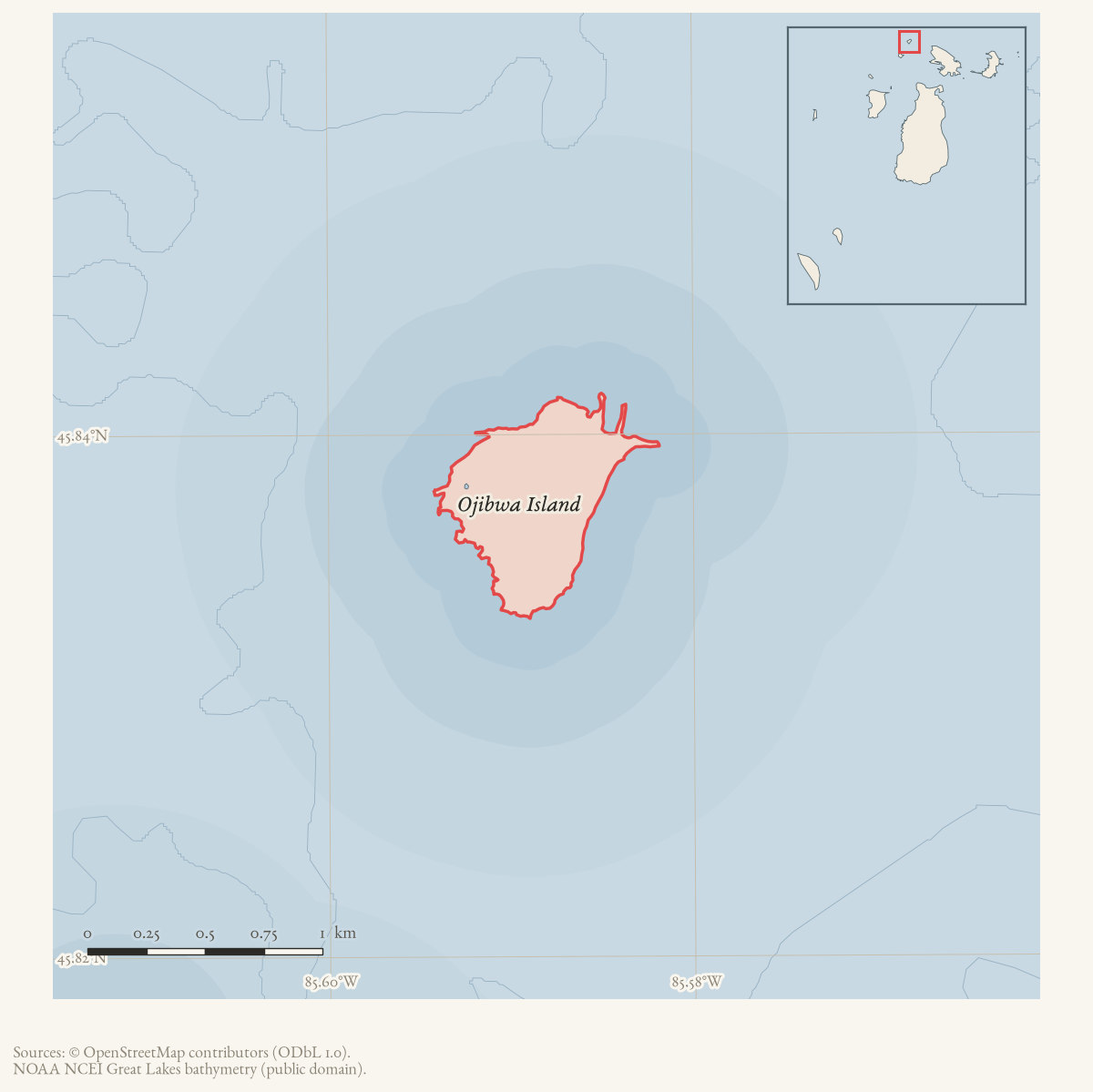
- Ojibwa Island
- Media
- Squaw Island Light (U.S. Coast Guard historic photograph)
Summary
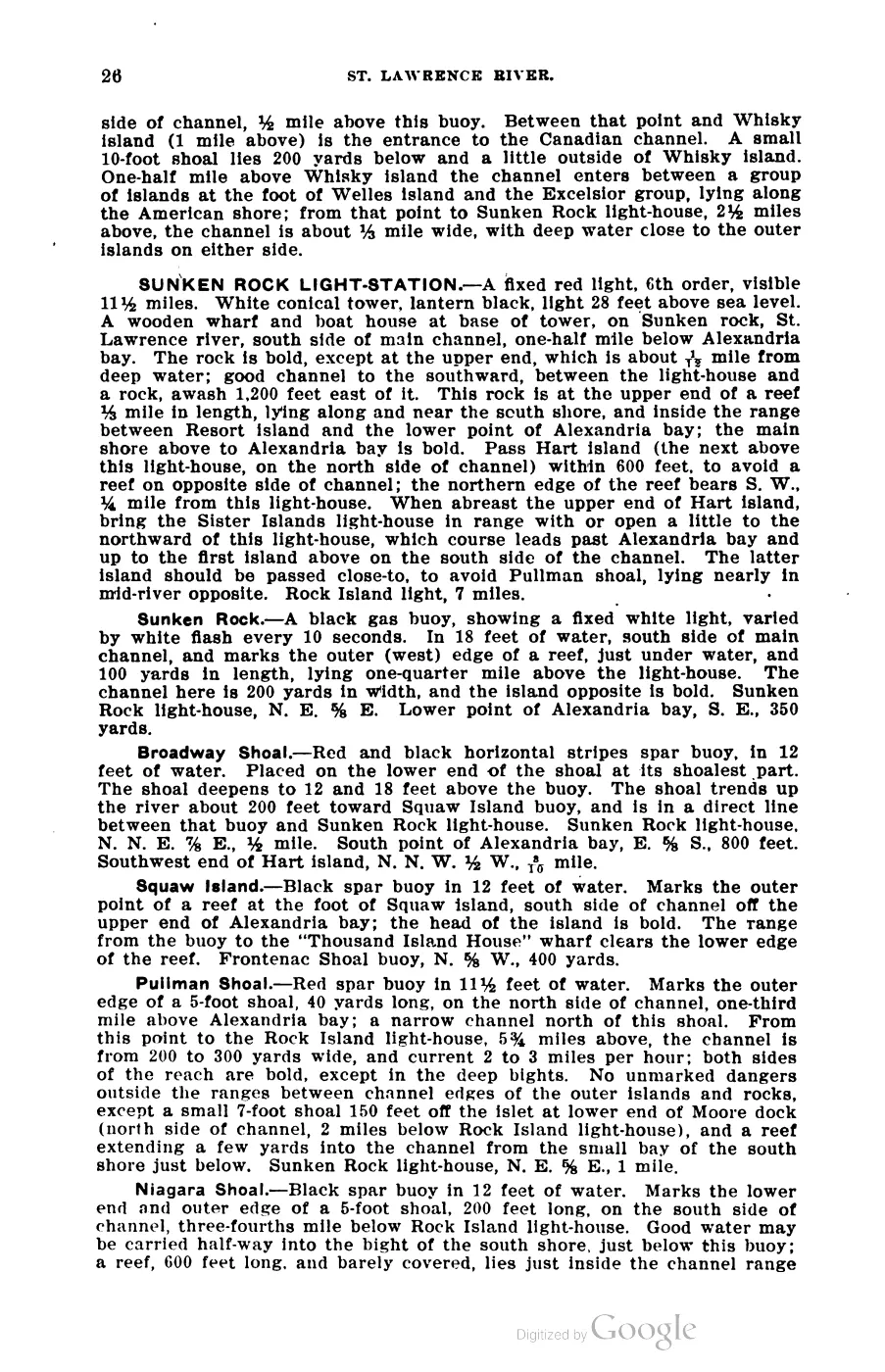
Squaw Island Light Station stands on the northerly end of what is now called Ojibwa Island — “the most northerly of the Beaver Island group,” per the 1902 Coast Pilot.1 Its 1902 characteristic was a fixed red light varied by a red flash every 15 seconds, 4th order, visible 15 miles, from a 48-foot red brick tower forming the northwest corner of the keeper’s dwelling; the light illuminated the entire horizon and marked “the turning point into Lake Michigan” for vessels using the passage north of the Beaver group.1 The island itself is treated at Ojibwa Island; this article is about the light station only.
History
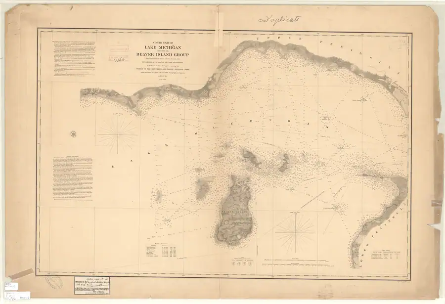
The 1854-55 US Lake Survey triangulation of the Beaver Island group credits its topographic and hydrographic survey of “High, Gull, Trout, Whiskey and Squaw Islands” to assistants G. W. Lamson and H. Gillman with sub-assistant J. B. Williams, in 1855 — the earliest systematic American survey of the island.2 Notably, the “Light Houses” table on that same chart (as reprinted for presentation in 1861) lists lights at Waugoshance, Île aux Galets (Skilligallee), Beaver Harbor and the head of Beaver Island, but no light at Squaw Island, indicating the Squaw Island station had not yet been built as of that printing.2 By the time Scott’s Coast Pilot was compiled (1902), the station was fully established, described as “a coast-light” marking “the turning point into Lake Michigan,” with a 10-inch steam whistle fog signal sounding blasts of 5 seconds separated by alternating 20- and 40-second silences.1
The station’s keeper history also includes the December 1900 tragedy: keeper William H. Shields, first assistant Owen J. McCauley, second assistant Lucien Morden, Shields’s wife, and her niece Lucy Davis launched an unnamed sailboat when the light closed for winter. A squall capsized the boat; three people died and McCauley and Shields survived.3
Geography
The station sits on the northerly end of the island, with the light’s focal plane 57 feet above lake level and the fog-signal building about 200 feet due north of the tower.1 Scott’s Coast Pilot gives bearings: Garden Island’s north tangent bears E. by S. ¼ S., 3¾ miles; Seul Choix Pointe light bears W. by N. ¾ N., 16¼ miles; Scott’s Point bears N.W. by N. ¼ N., 9½ miles.1 A dangerous shoal, Squaw Island Shoal, extends north from the island, marked in 1902 by a black 2nd-class can buoy in 22 feet of water.1 The nearby Gull Island Reef — with only 5 feet of water — lies to the southwest, within the same passage the light marks.
Names
The island the light stands on is Squaw Island in every 19th- and early 20th-century source, including this light station’s own name in Scott’s Coast Pilot; it is now officially Ojibwa Island, per USGS GNIS (feature id 638673).4 The light station’s name was never changed to match — sources discussing the historic light continue to call it “Squaw Island Light,” including OpenStreetMap’s current tagging.5 See Ojibwa Island for the island’s own naming history.
Significance
As “the most northerly of the Beaver Island group,” this light marked the principal turning point for vessels routing north of the archipelago between the Straits of Mackinac and Green Bay/Lake Michigan destinations — one leg of the compass-course network Scott’s Coast Pilot lays out in detail (see Scott's New Coast Pilot for the Lakes). Its 1855 survey by Lamson, Gillman and Williams is among the earliest documented American surveys of any island in the group.
Open questions
- No construction date for the tower is established here; it postdates the 1855/1861 Lake Survey chart (which shows no light there) and predates the 1902 Coast Pilot. A Lighthouse Board annual report would narrow this.
- The keeper history of this station (comparable to the succession Elizabeth Whitney Williams records for the other two Beaver Island lights) is not established from any source consulted for this article.
- Current physical condition/ownership of the tower is not confirmed here.
See also
Sources
Footnotes
-
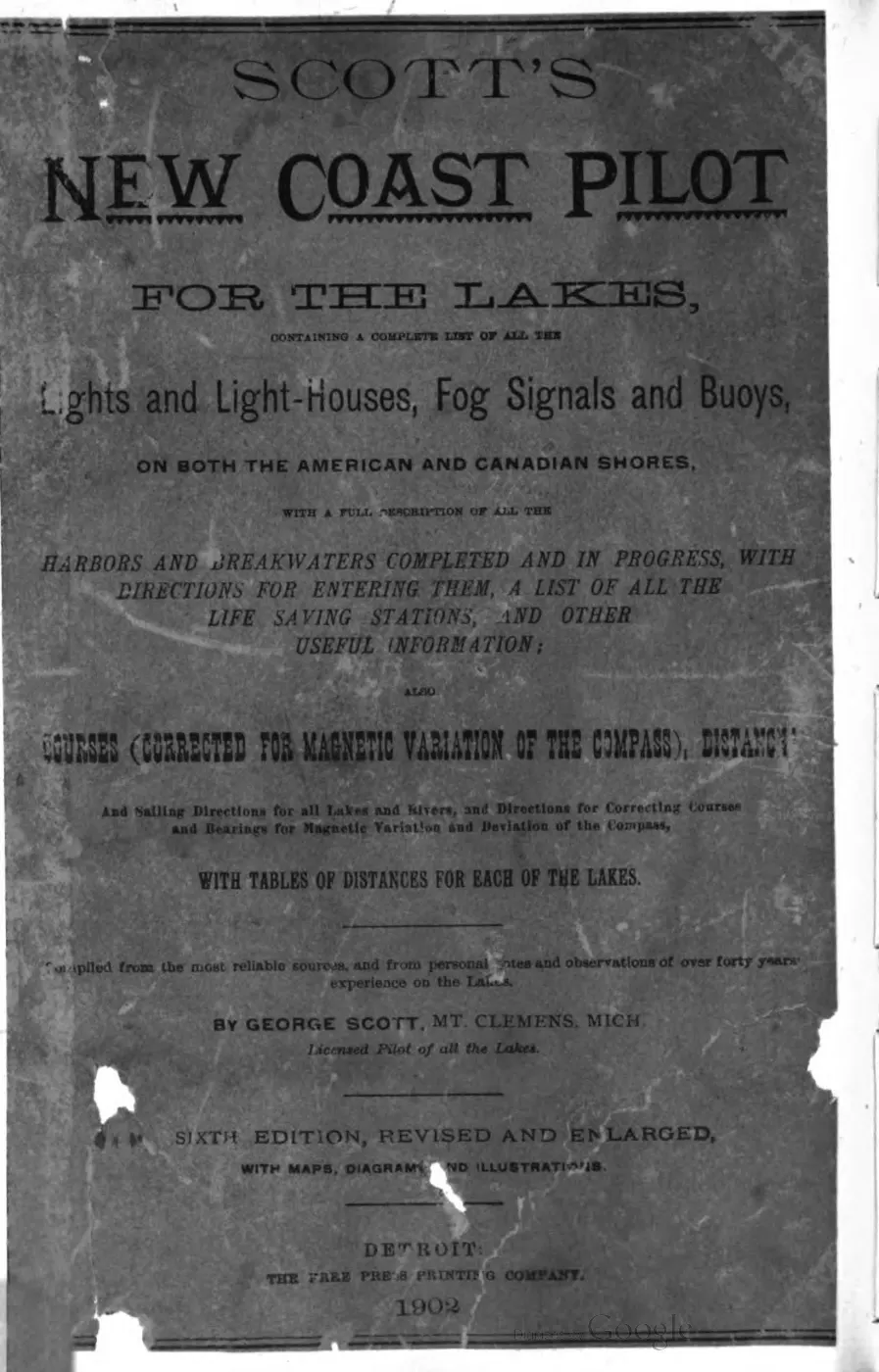
George Scott, Scott’s New Coast Pilot for the Lakes, 6th ed. (Detroit: Free Press Printing Company, 1902), p. 169. ↩ ↩2 ↩3 ↩4 ↩5 ↩6
-
US Lake Survey, “North End of Lake Michigan Including the Beaver Island Group,” surveyed 1854-55 under Capt. J. N. Macomb;
data/federal/noaa_charts/images/1855_NORTH-END-OF-LAKE-MICHIGAN-INCLUDING-THE-BEAVER-ISLAND-GROUP-NORTH-END_LC00010-00-1855WWL.jpg. ↩ ↩2 -
Held Courier and Beaver Beacon accounts of the December 14–15, 1900 Squaw Island light-crew tragedy. ↩
-
US Geological Survey, GNIS feature id 638673;
data/federal/gnis/gnis_names.geojson. ↩ -
OpenStreetMap contributors, node 582784798;
data/osm/lighthouses_maritime.geojson. ↩
Read the document
393 pages, rendered from the held scan.

Jump to a page — 393 in all






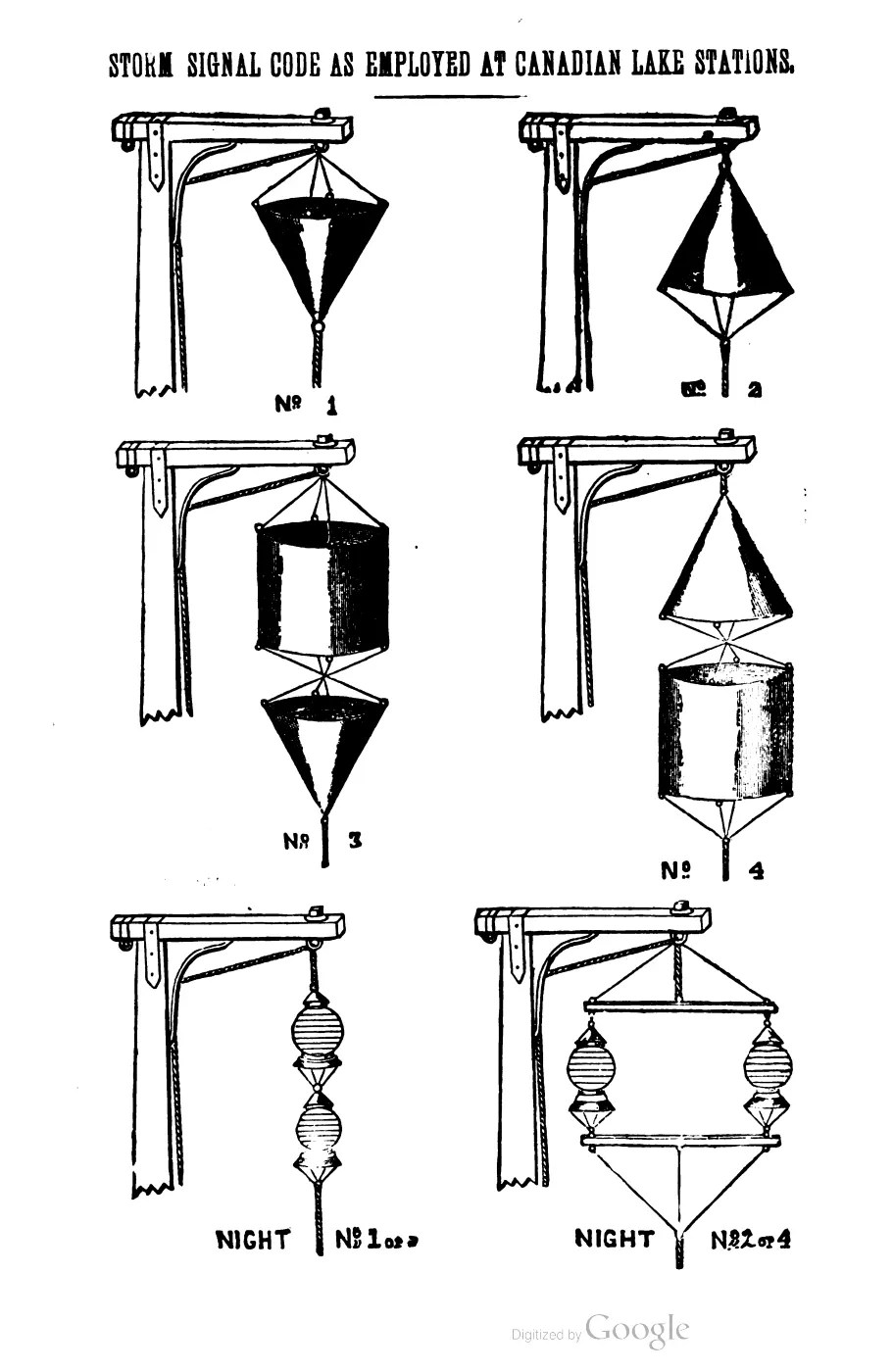
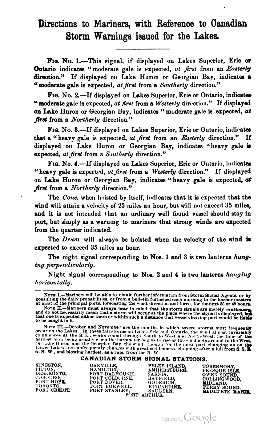

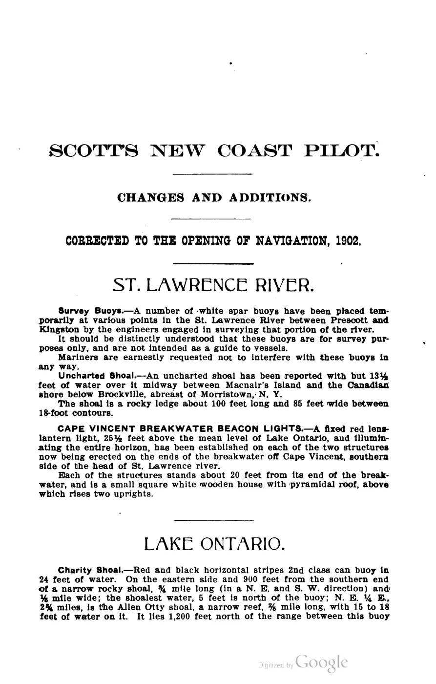
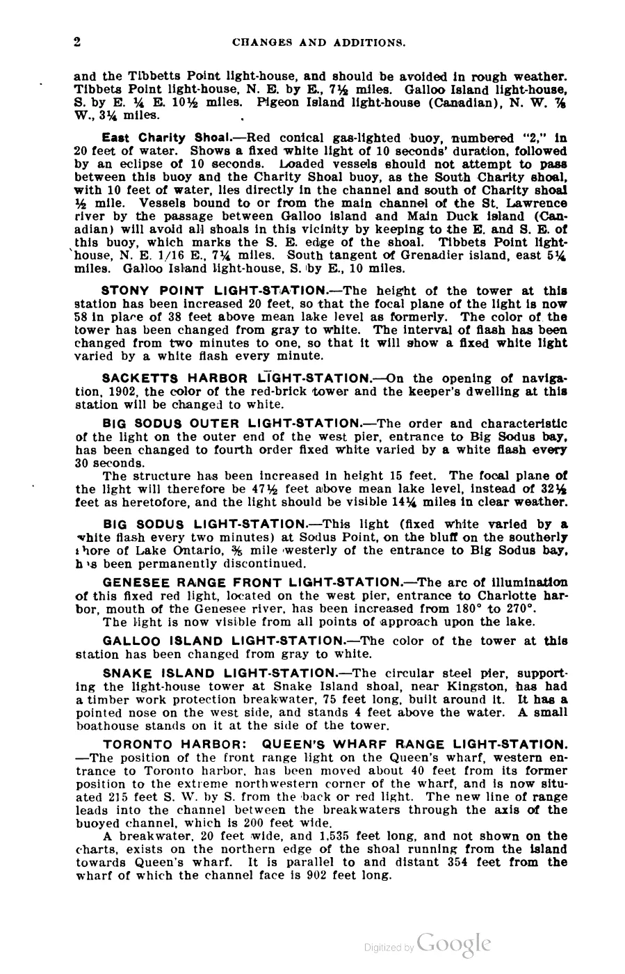
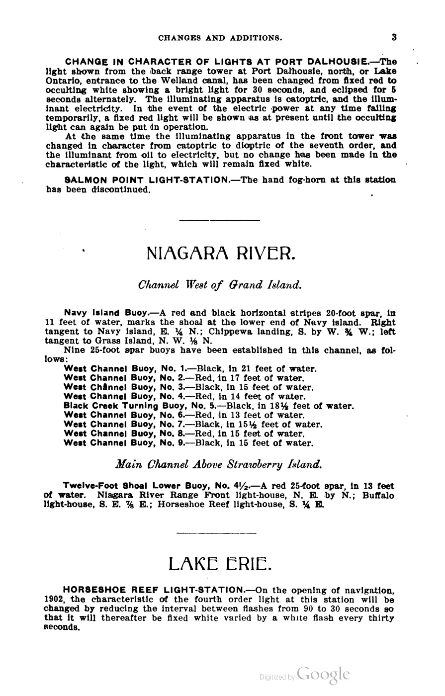
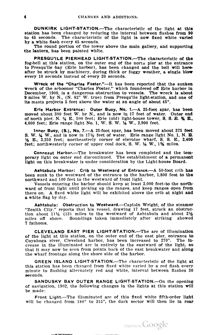
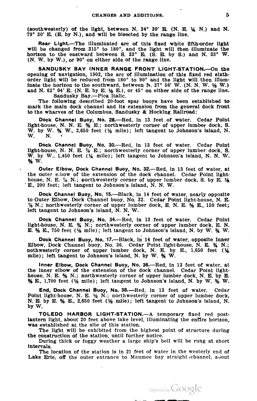
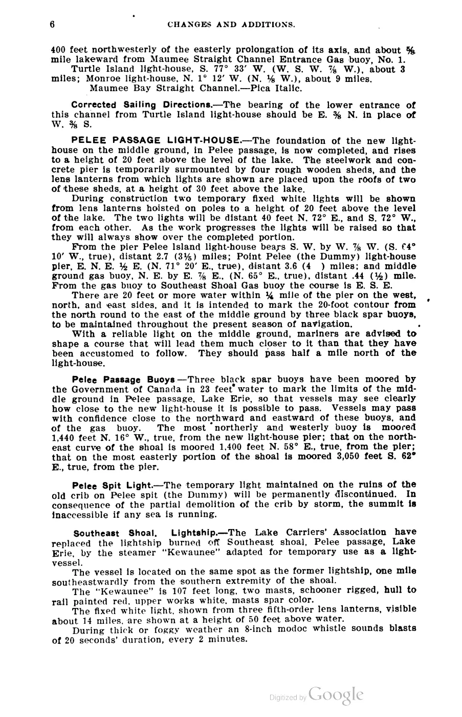
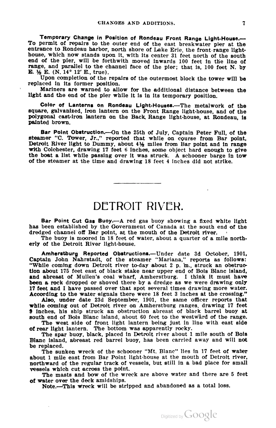
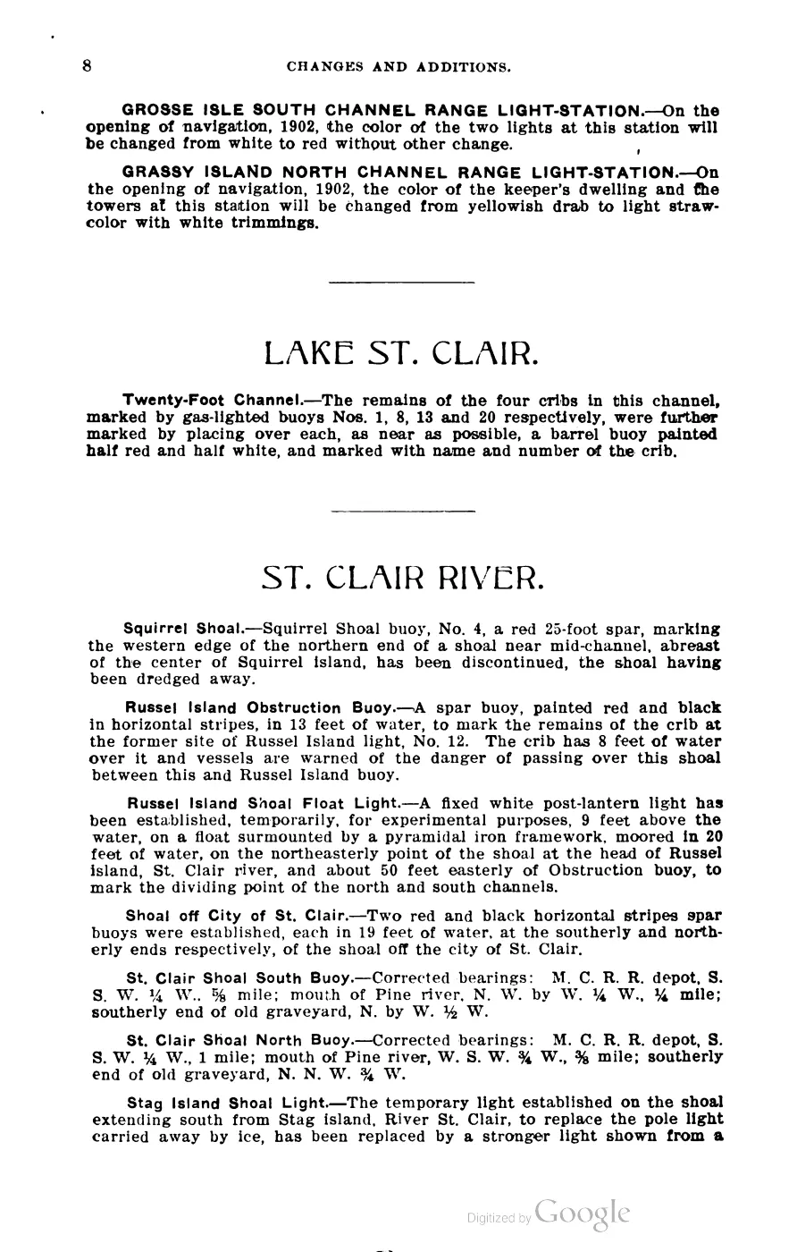
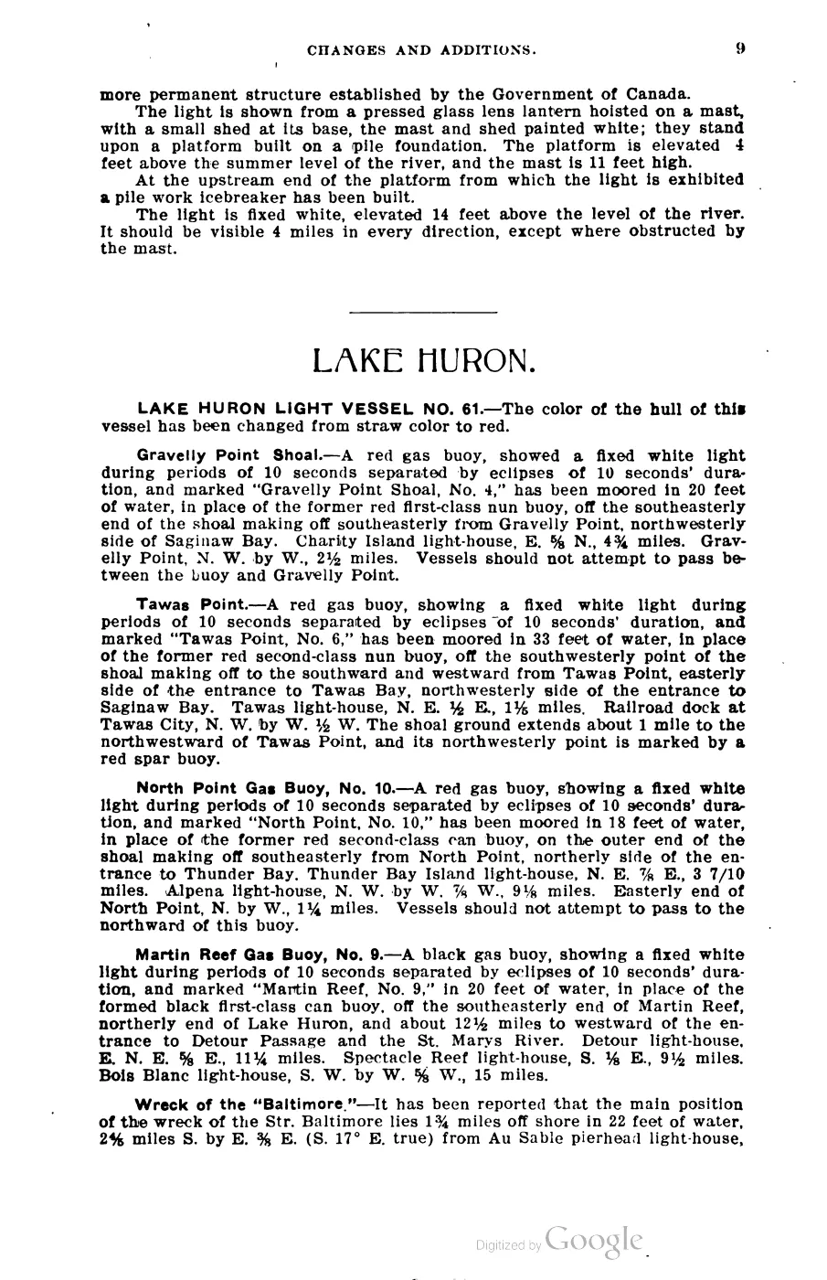
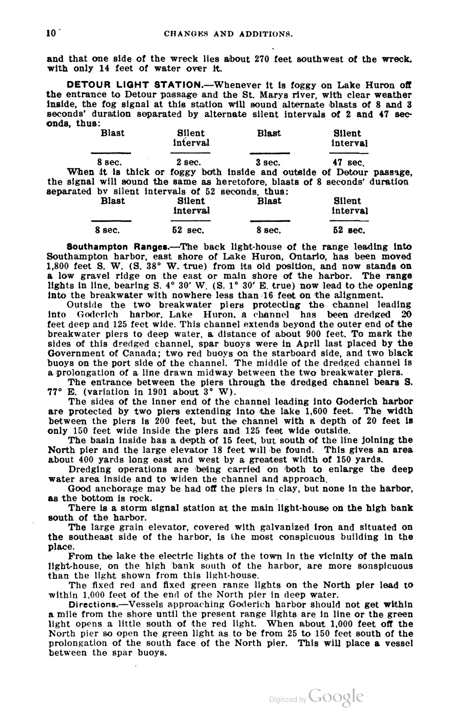
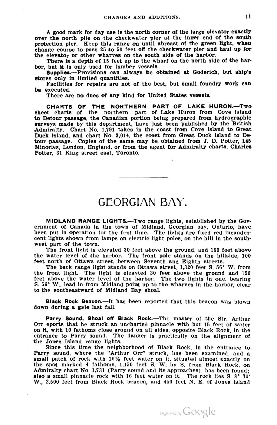
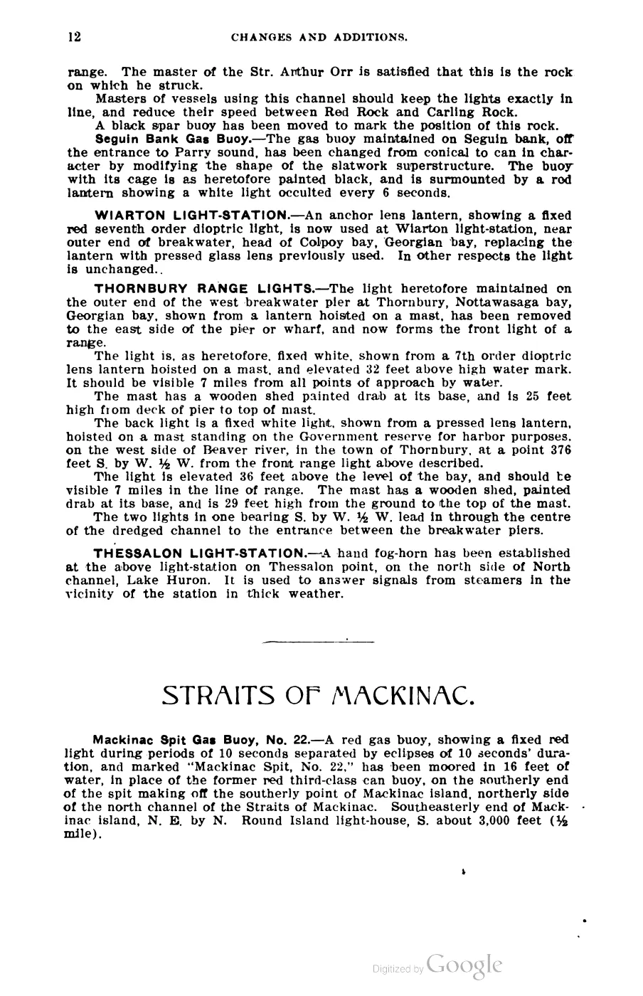
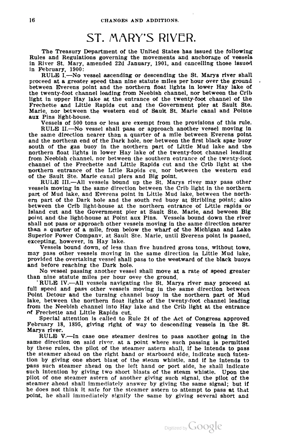

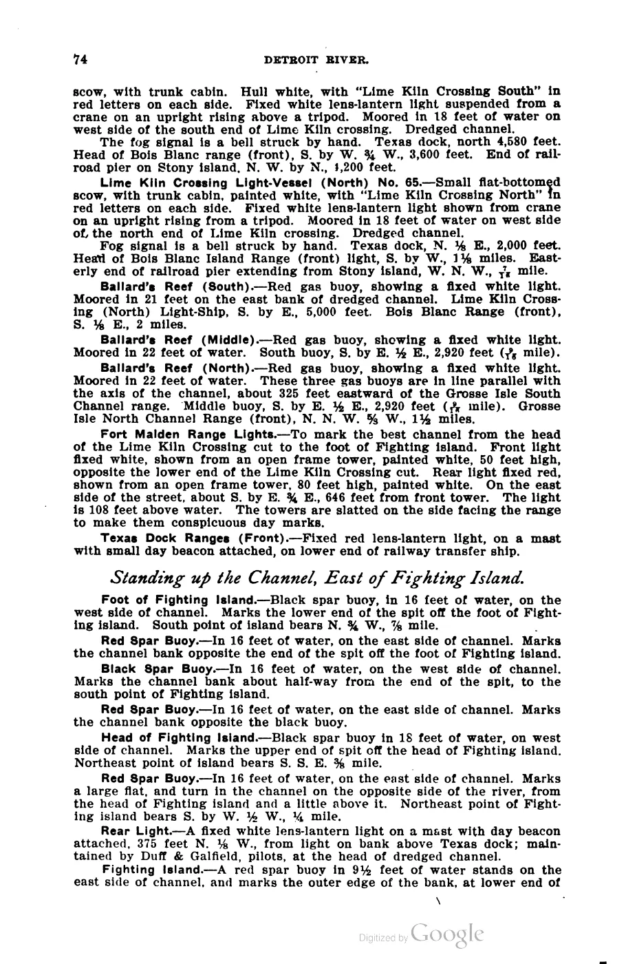
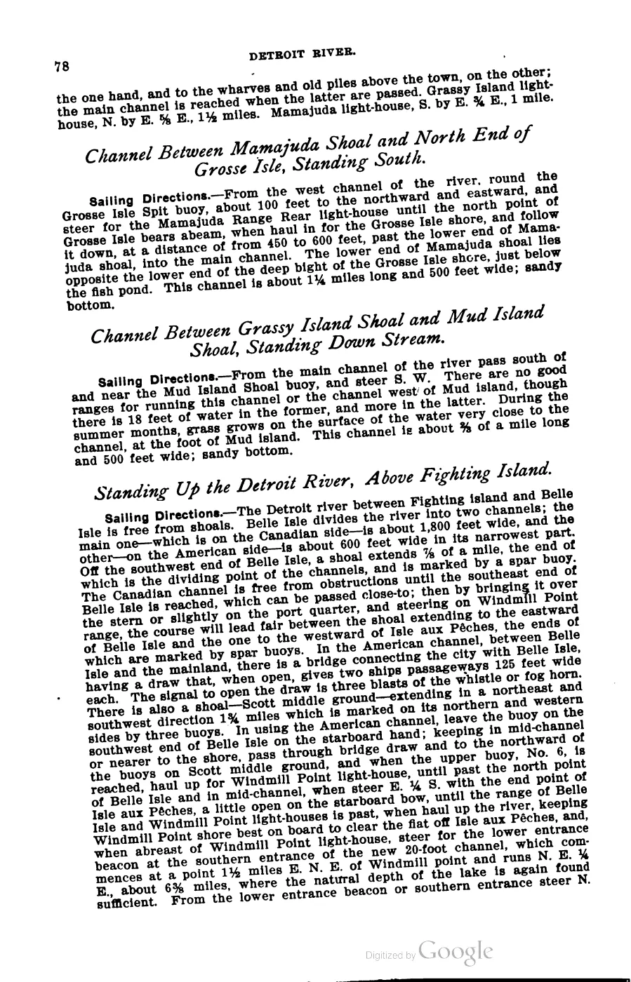
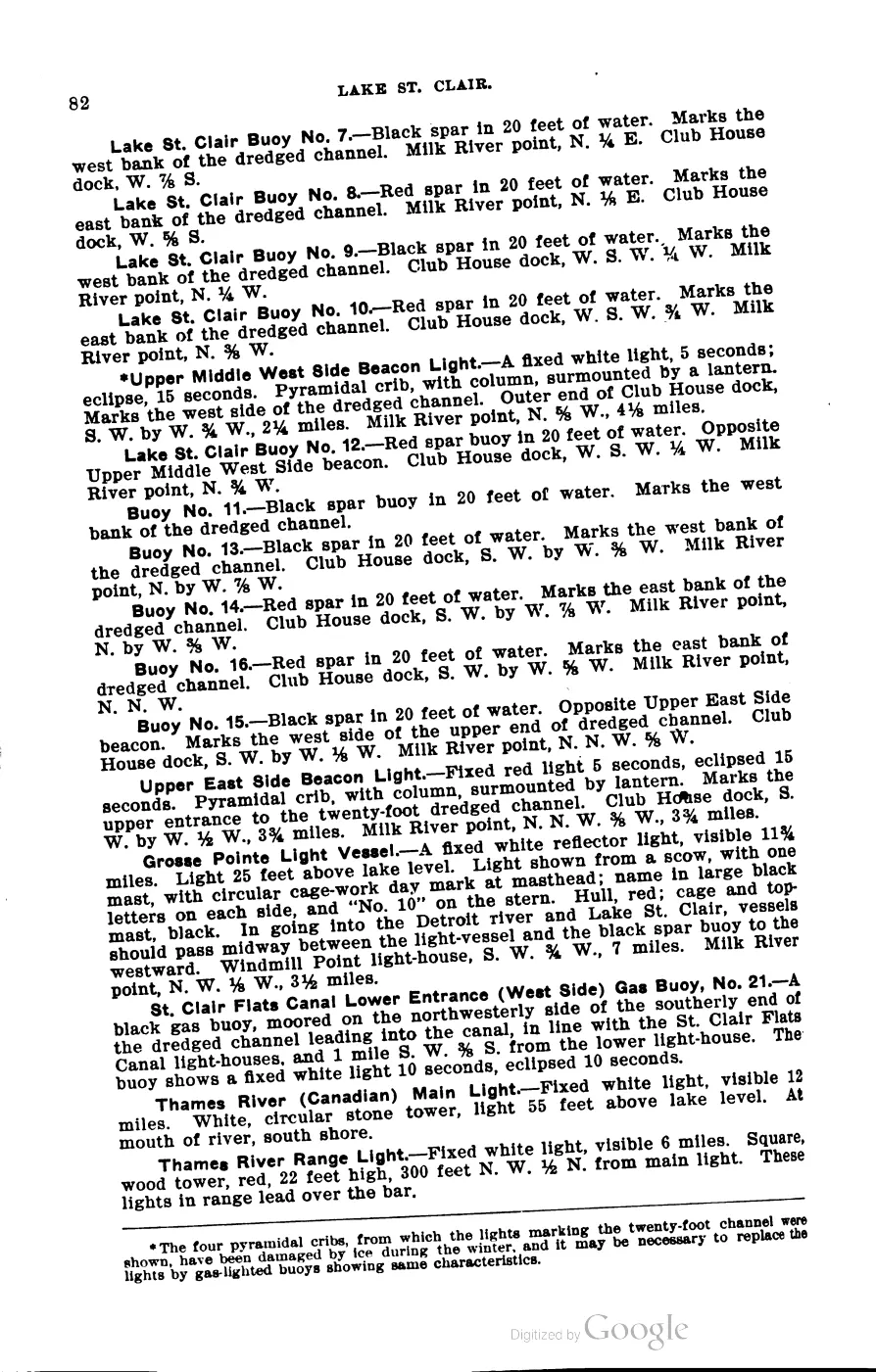
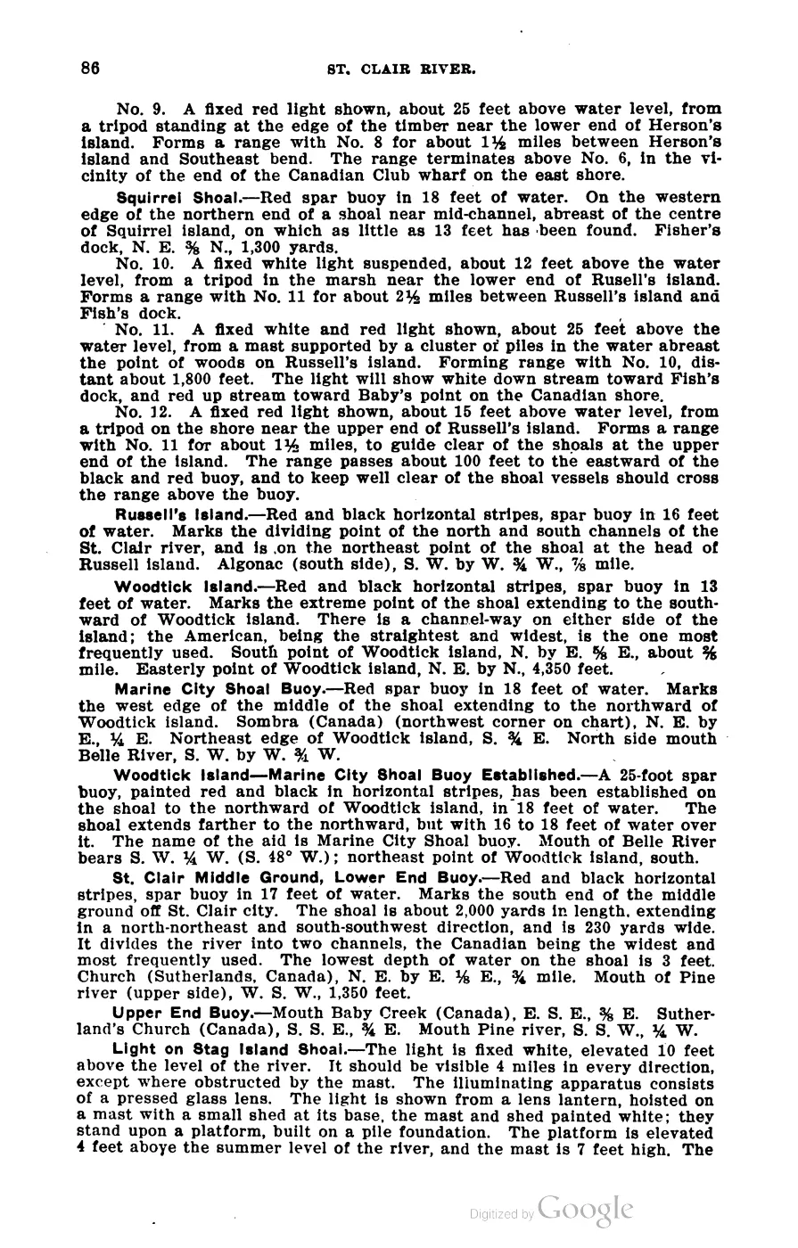
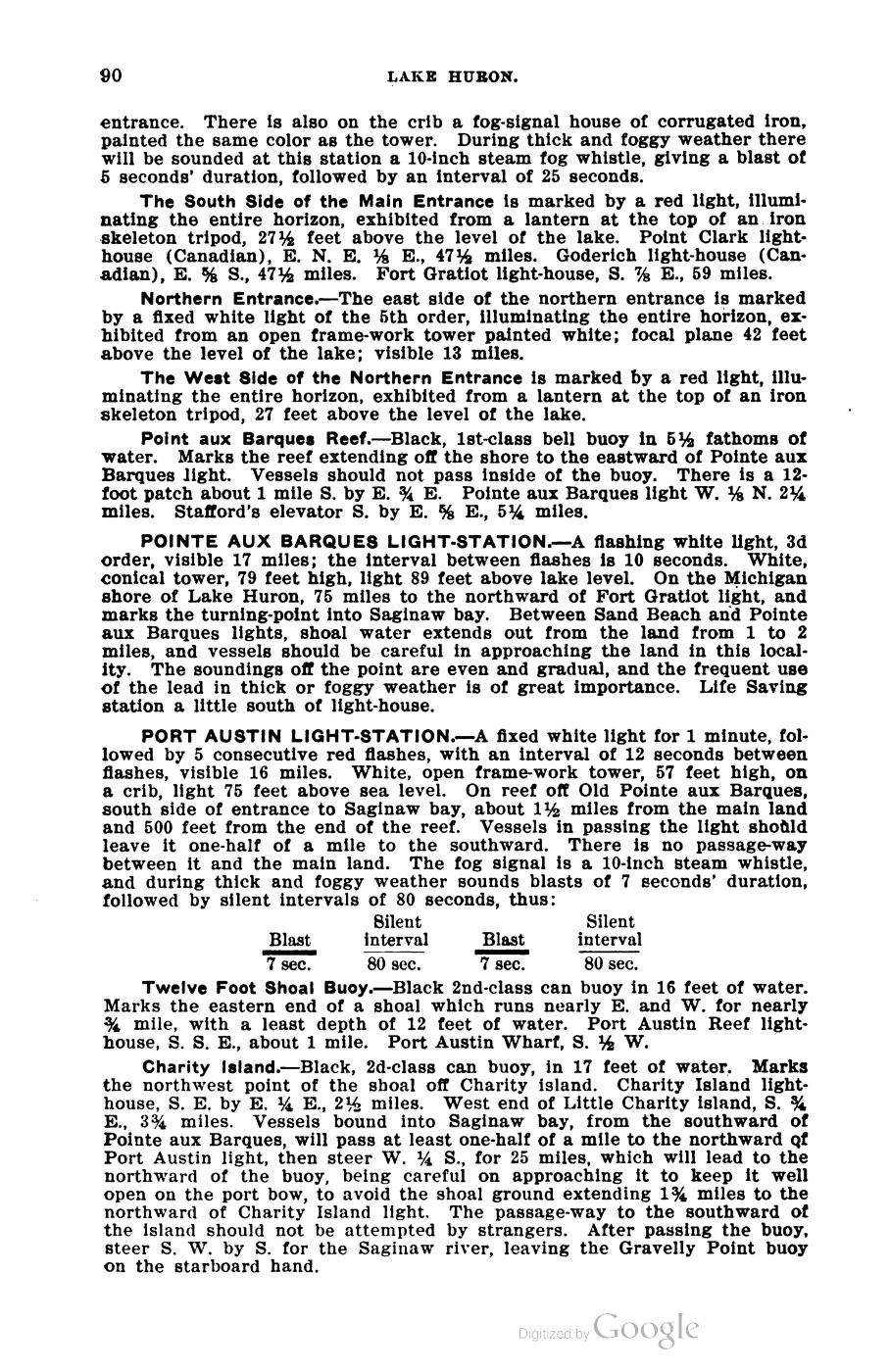
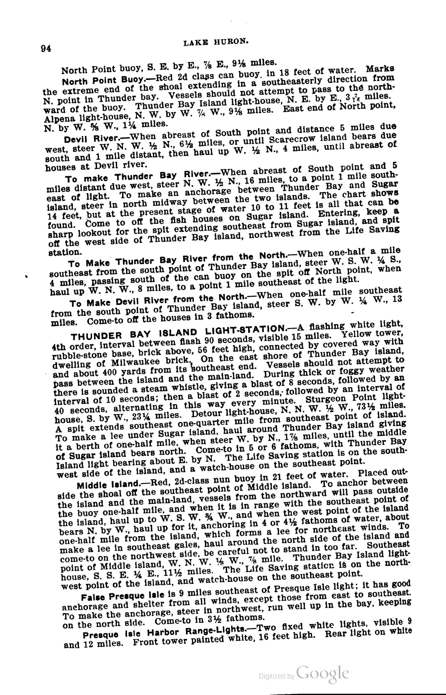
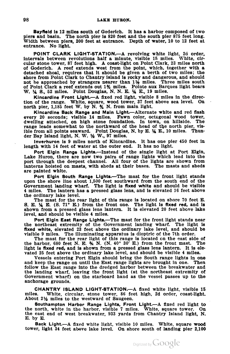
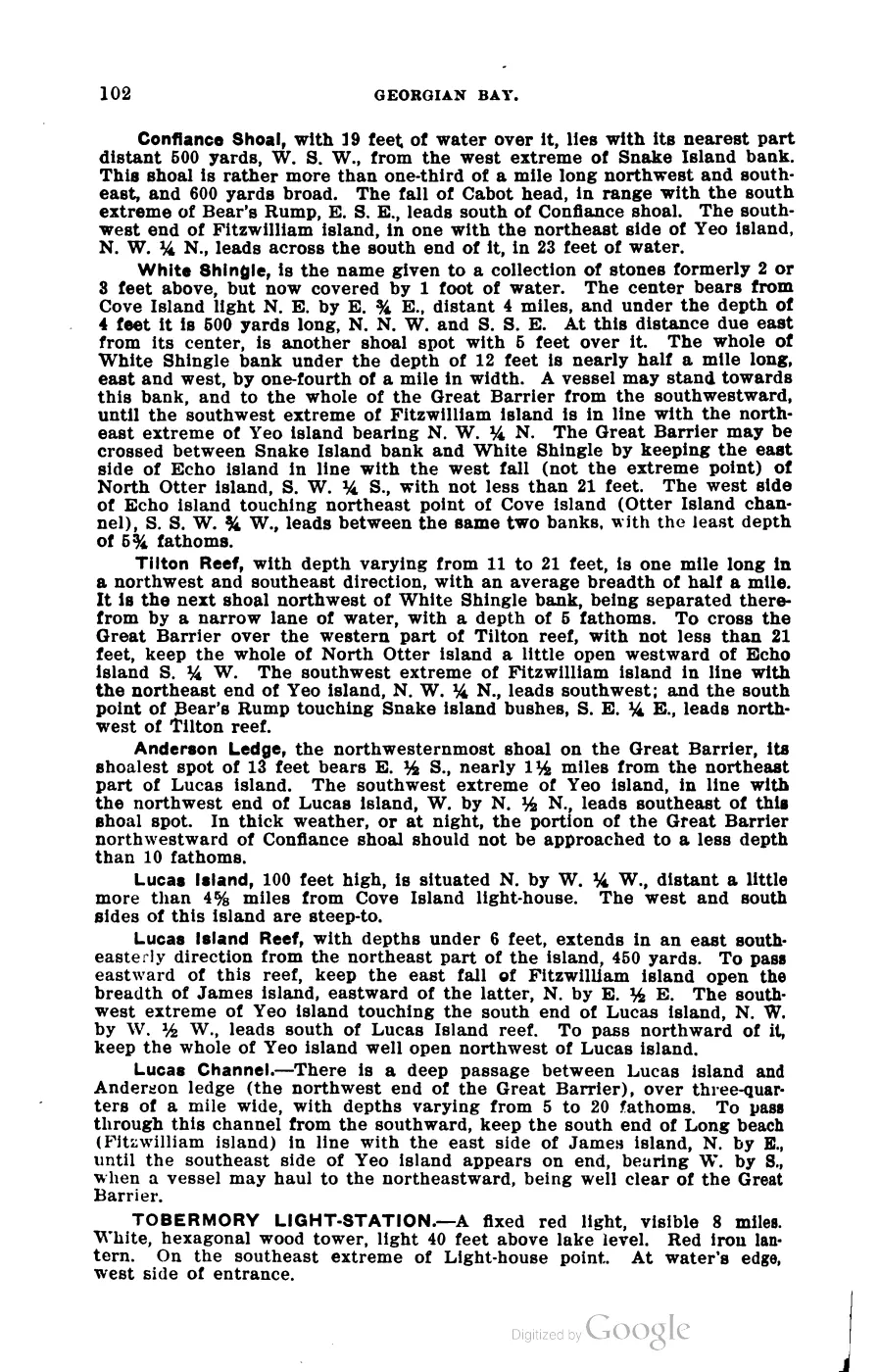
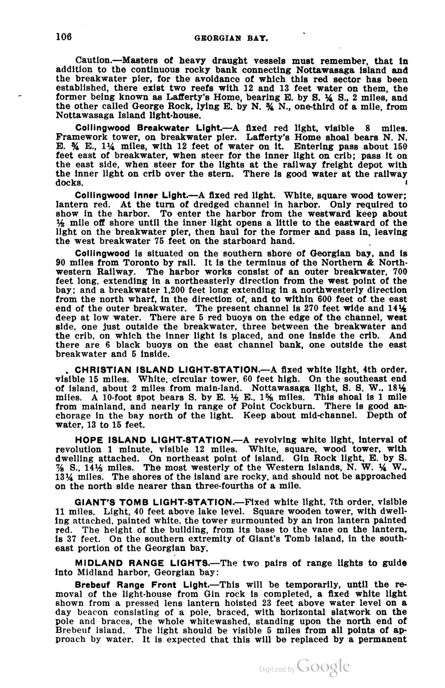
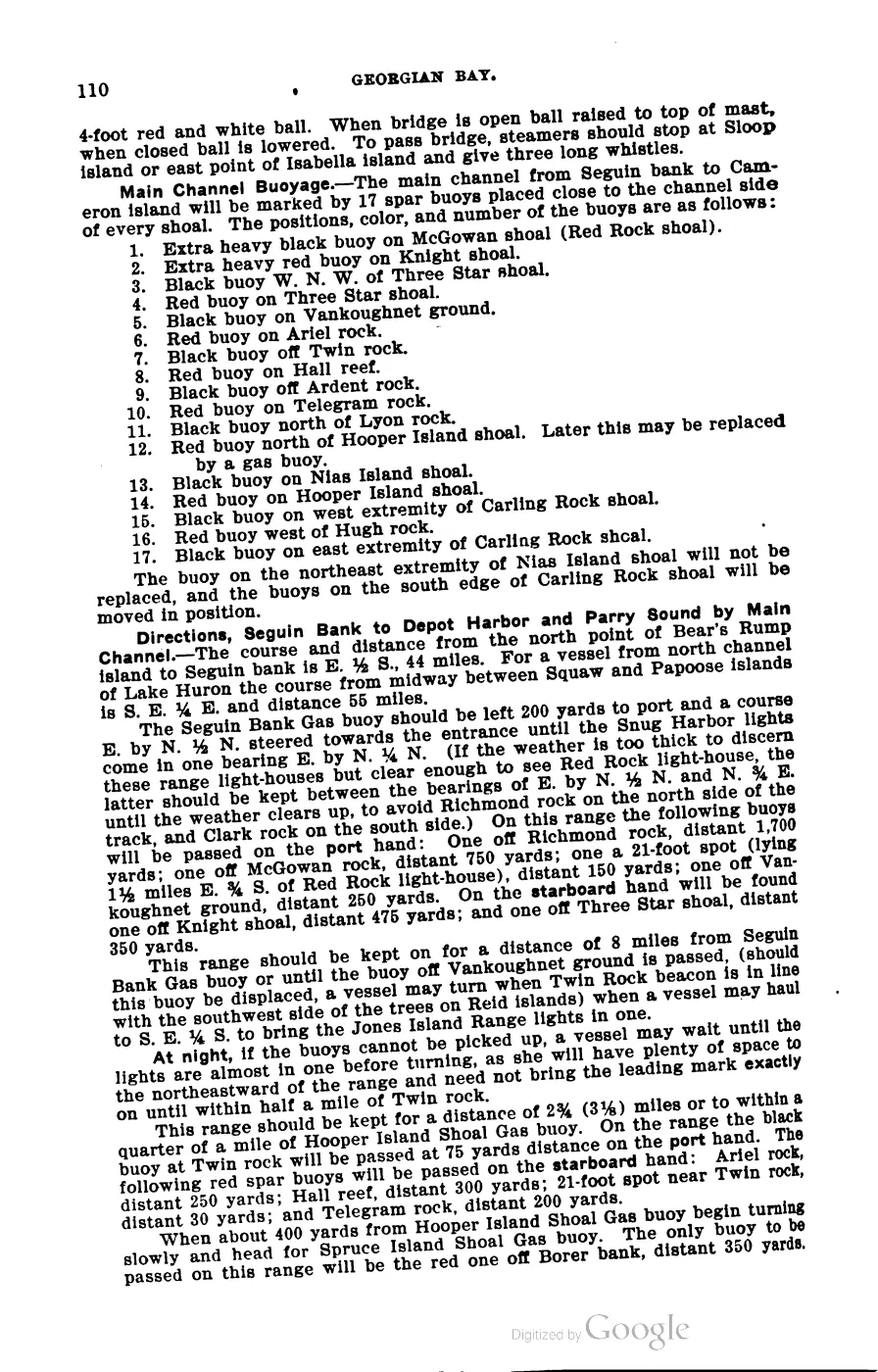
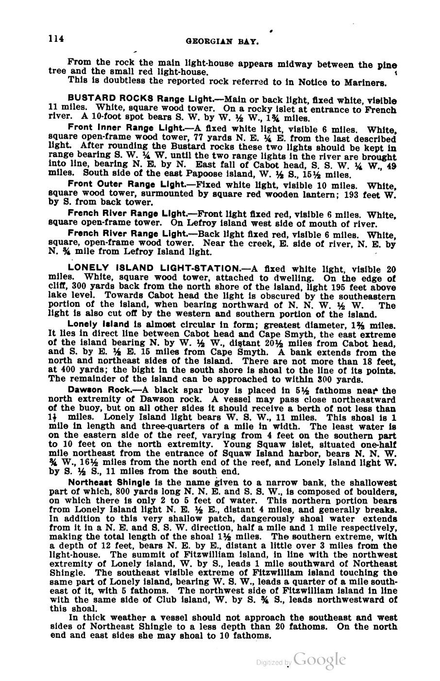
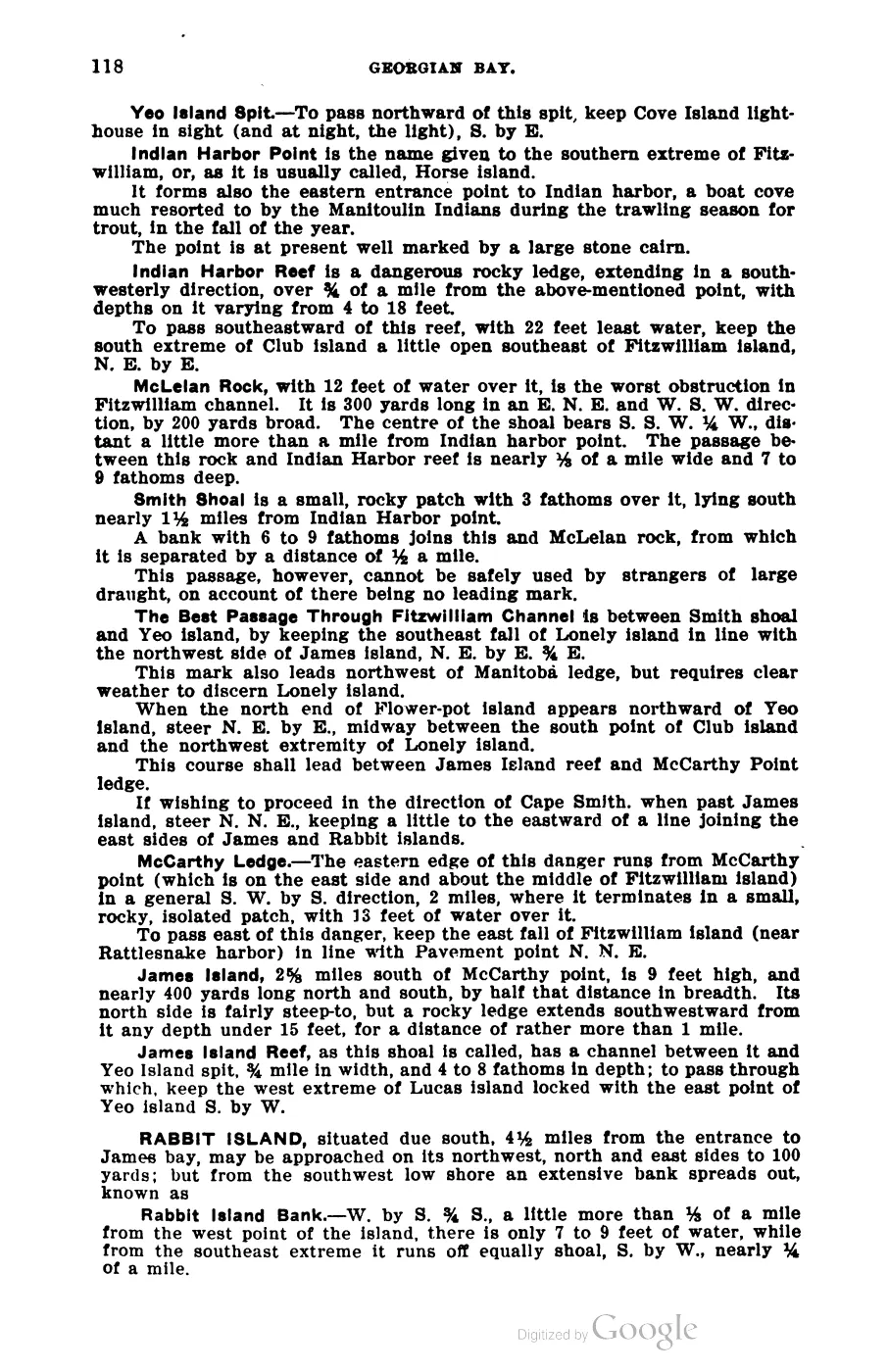
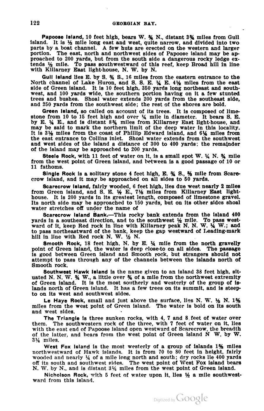
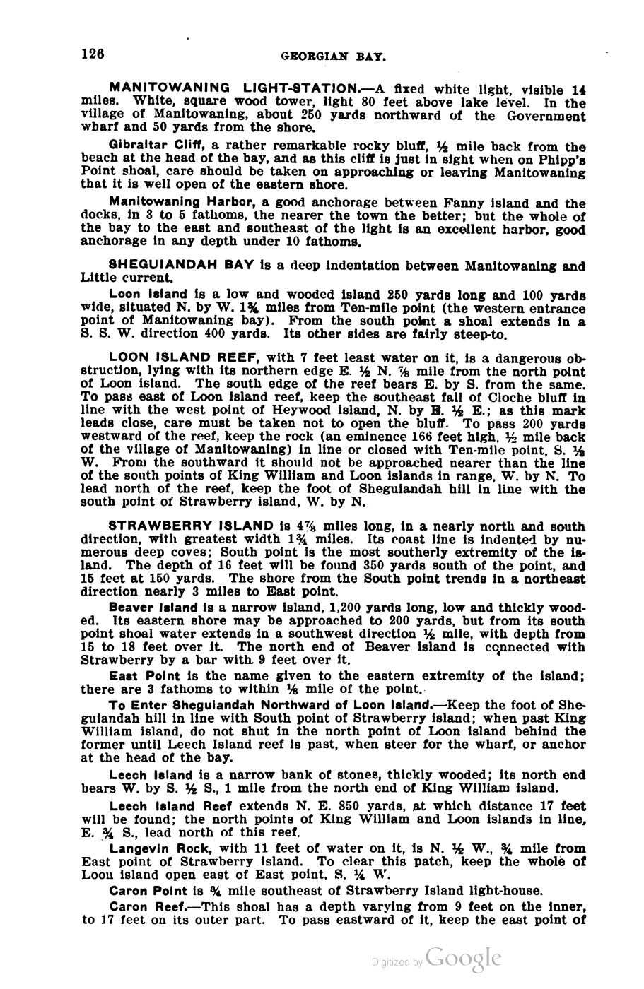
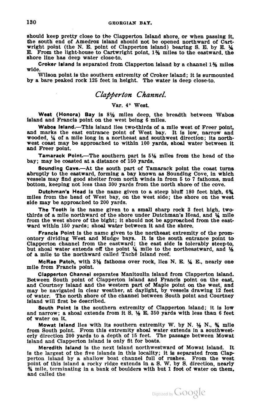
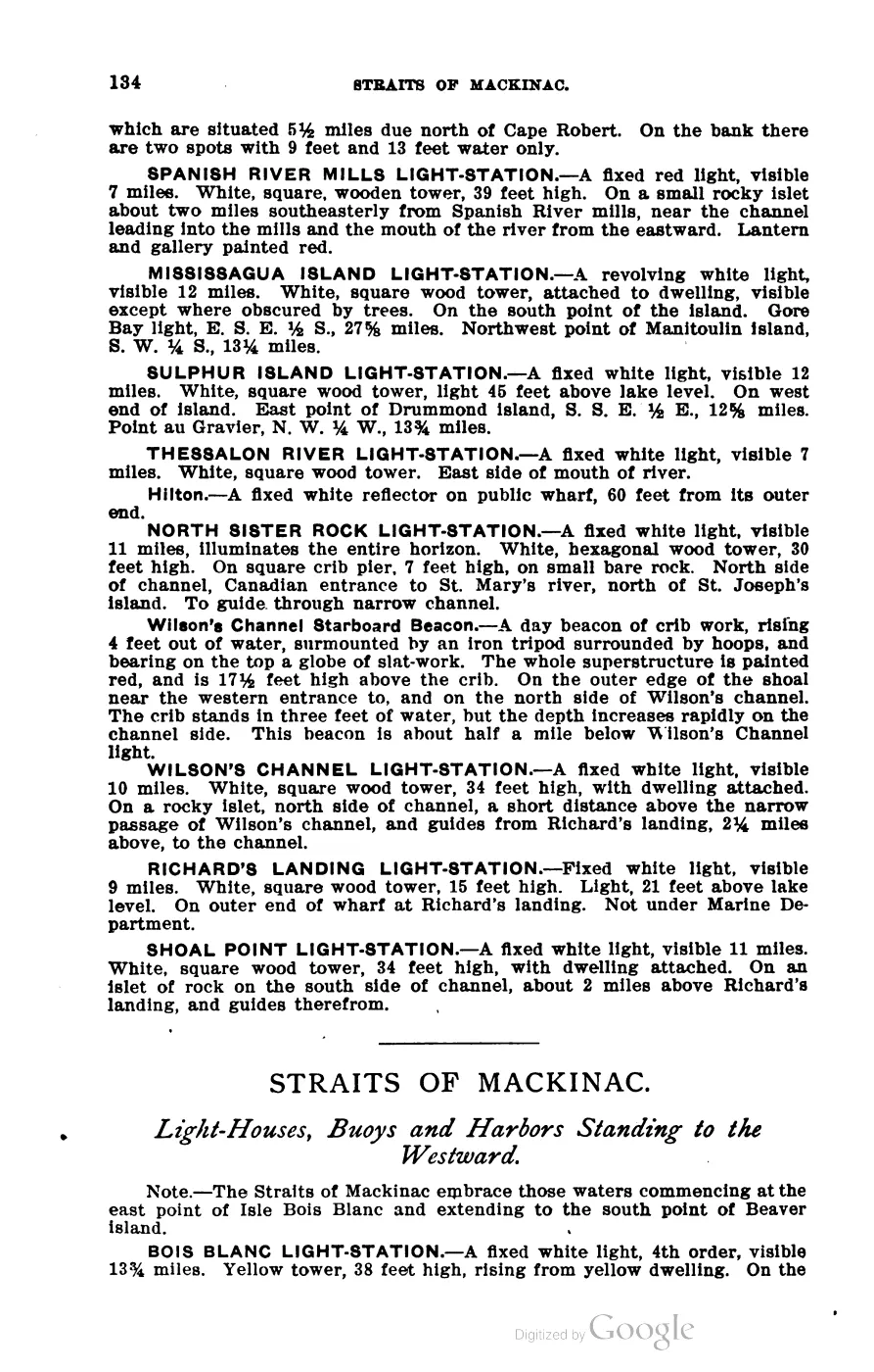
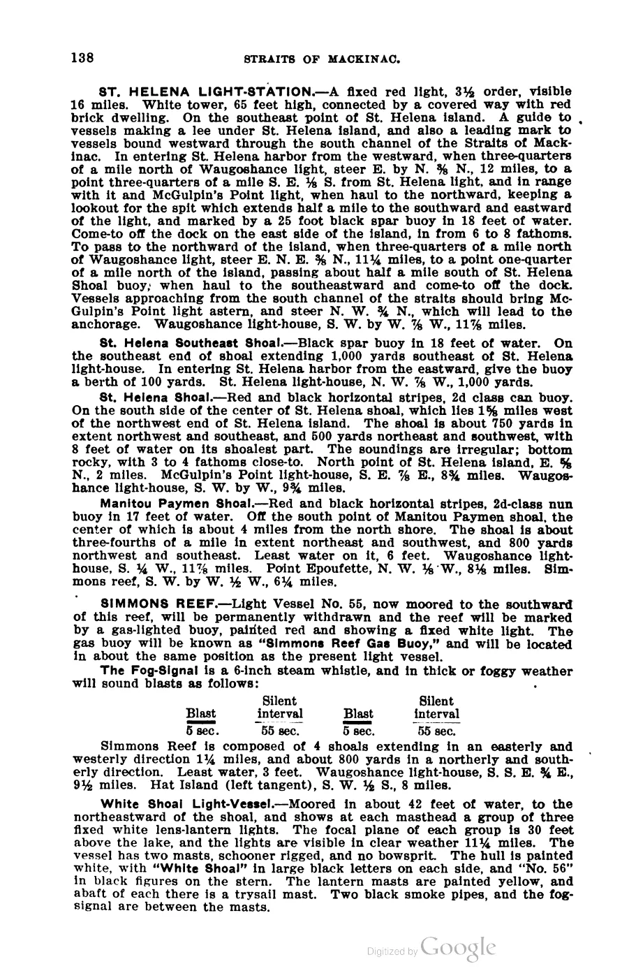
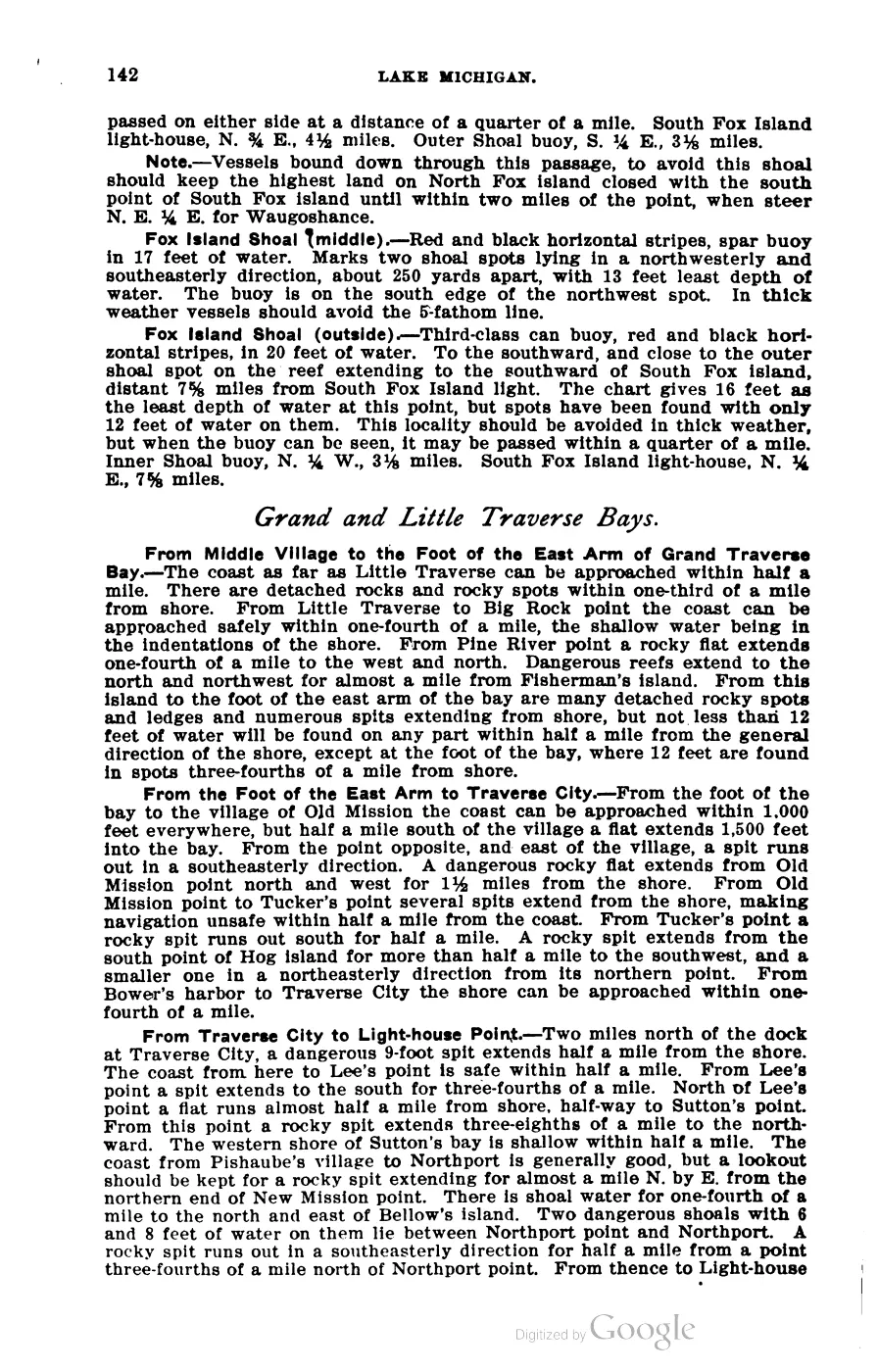
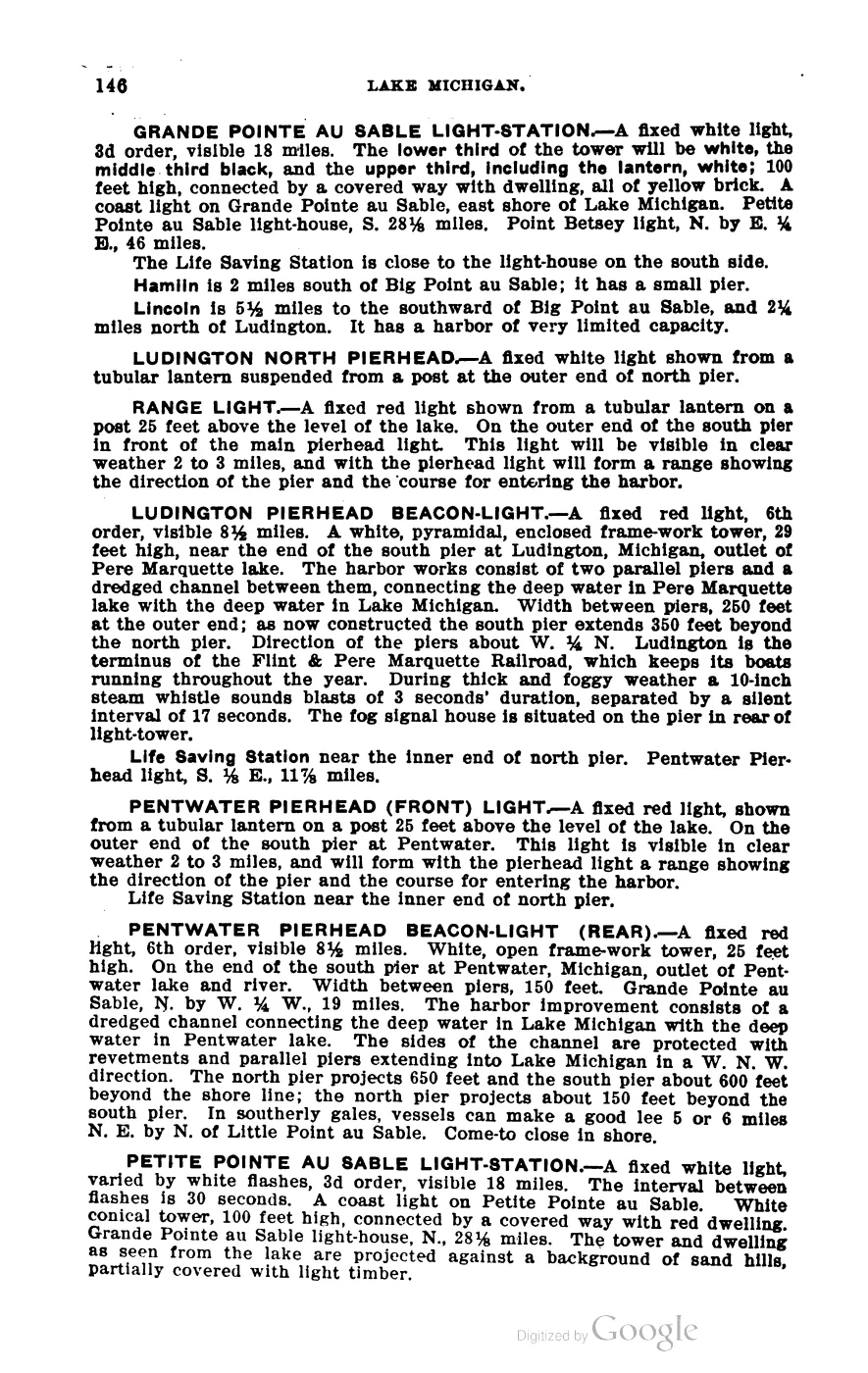
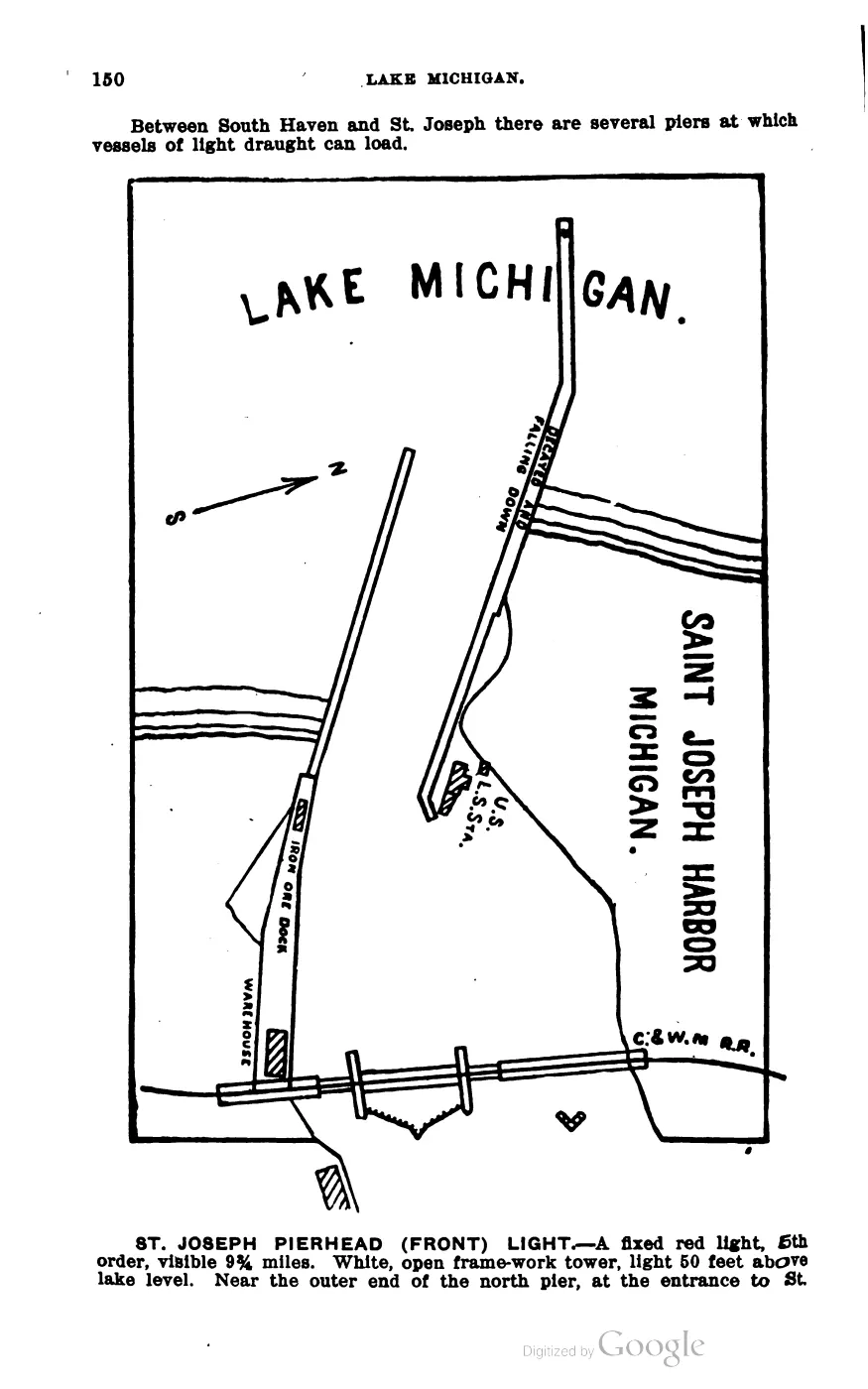
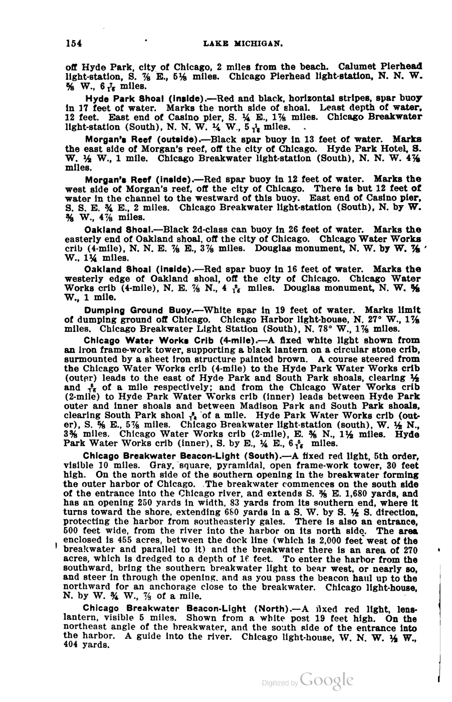
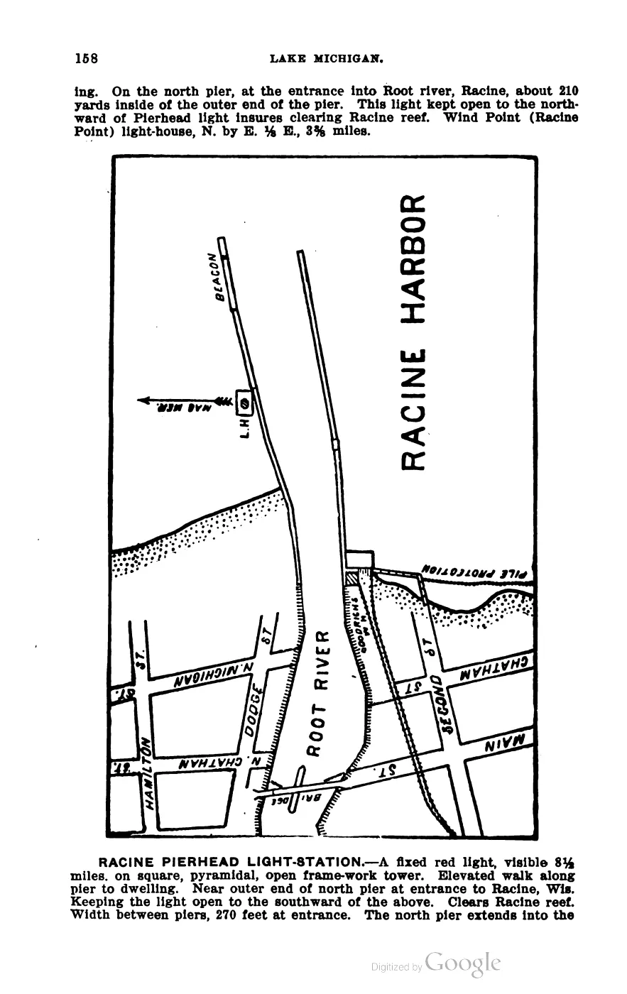
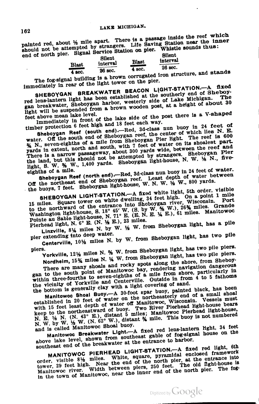
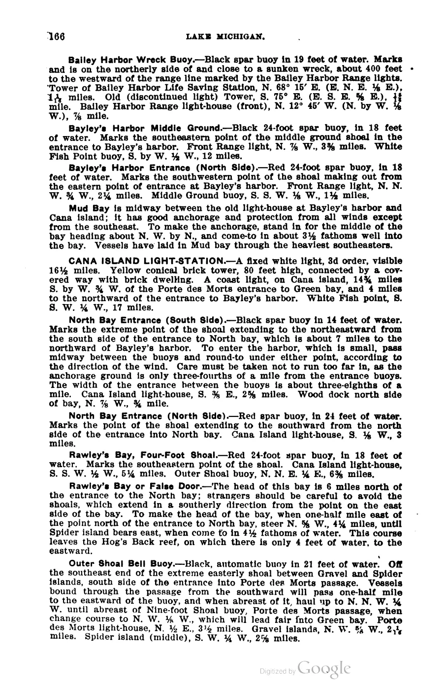
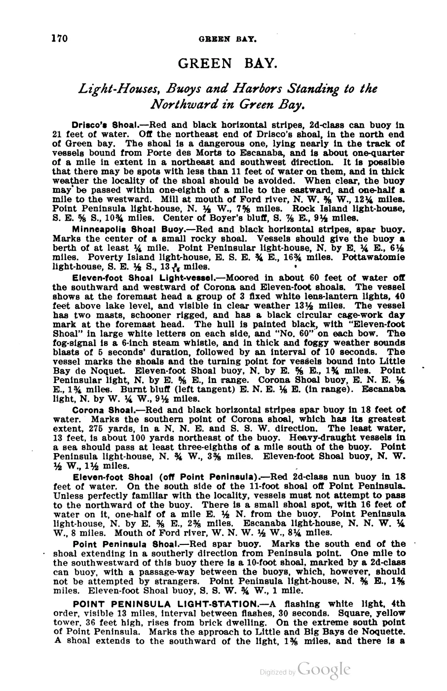
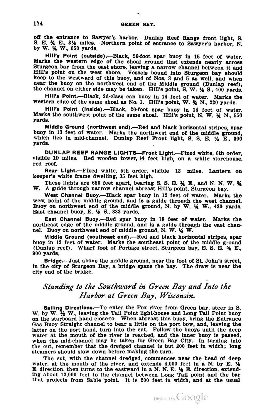
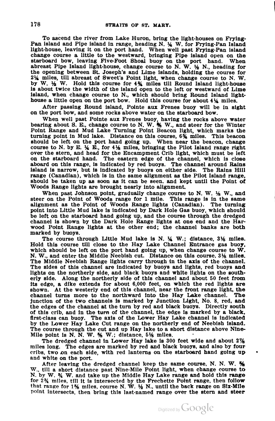
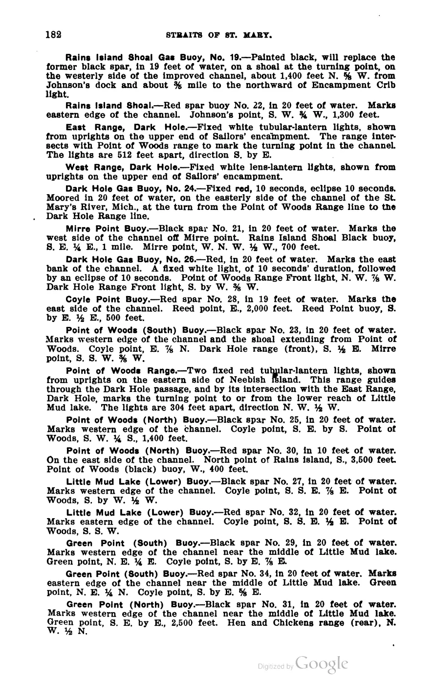
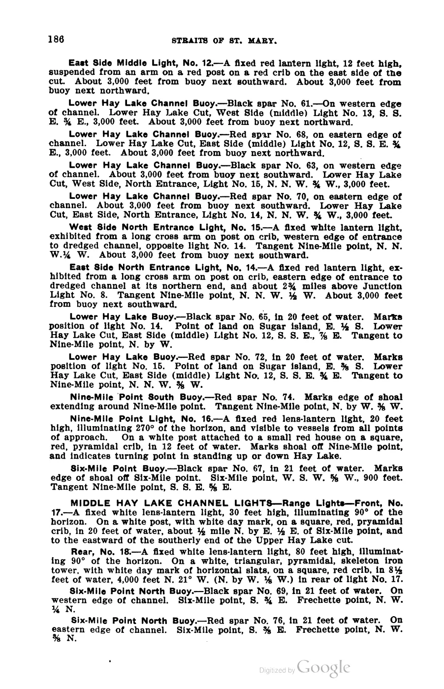
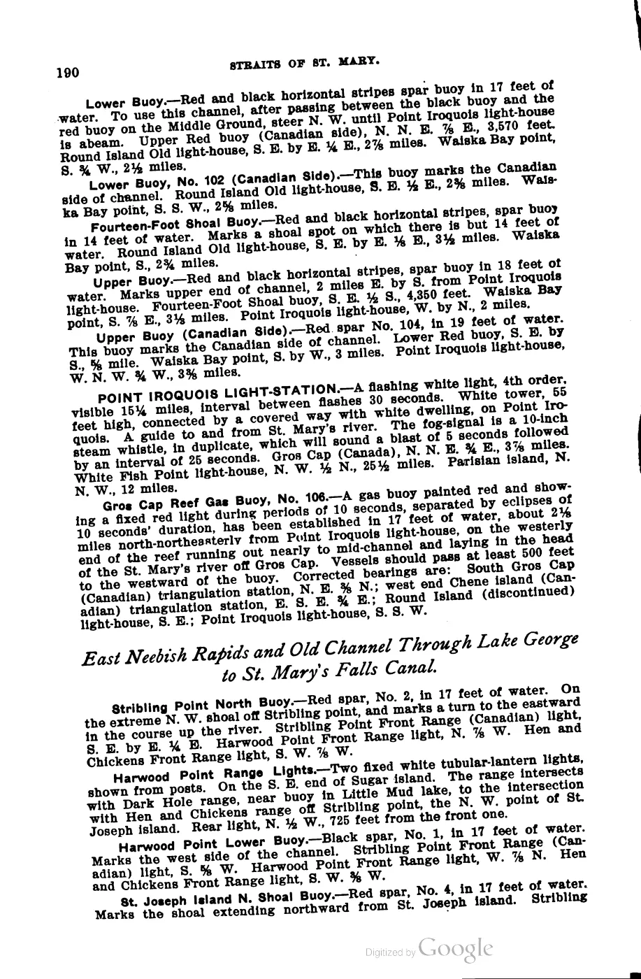
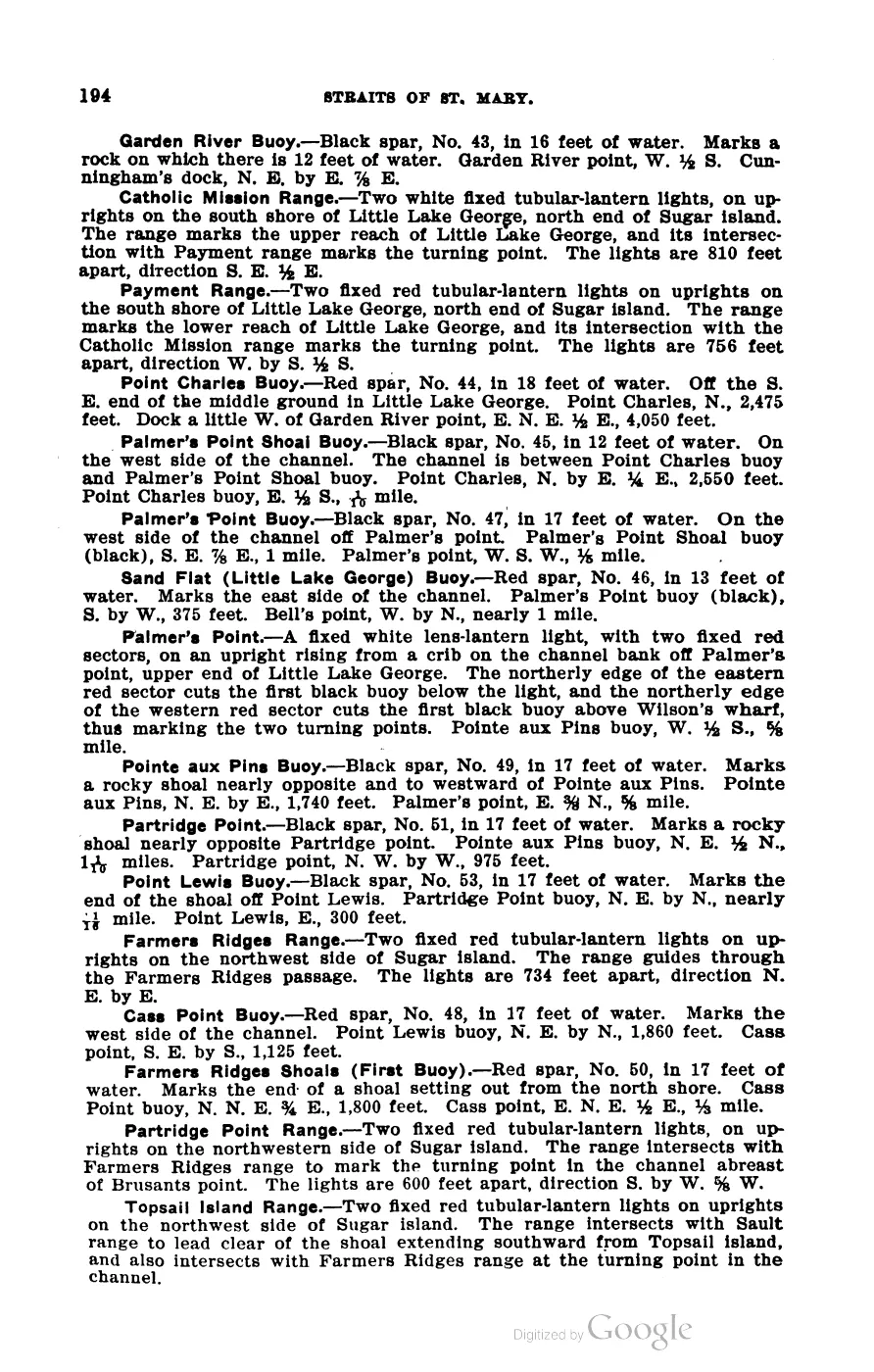
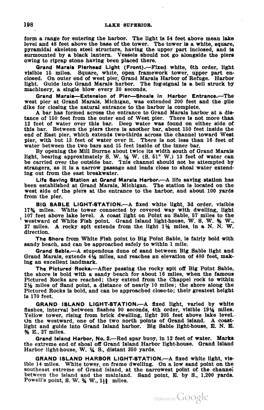
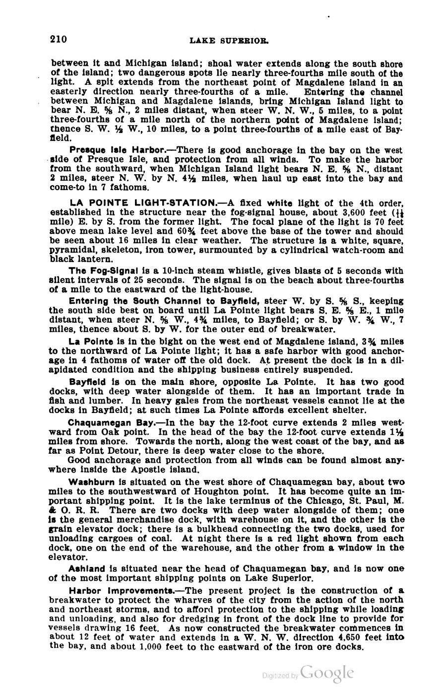
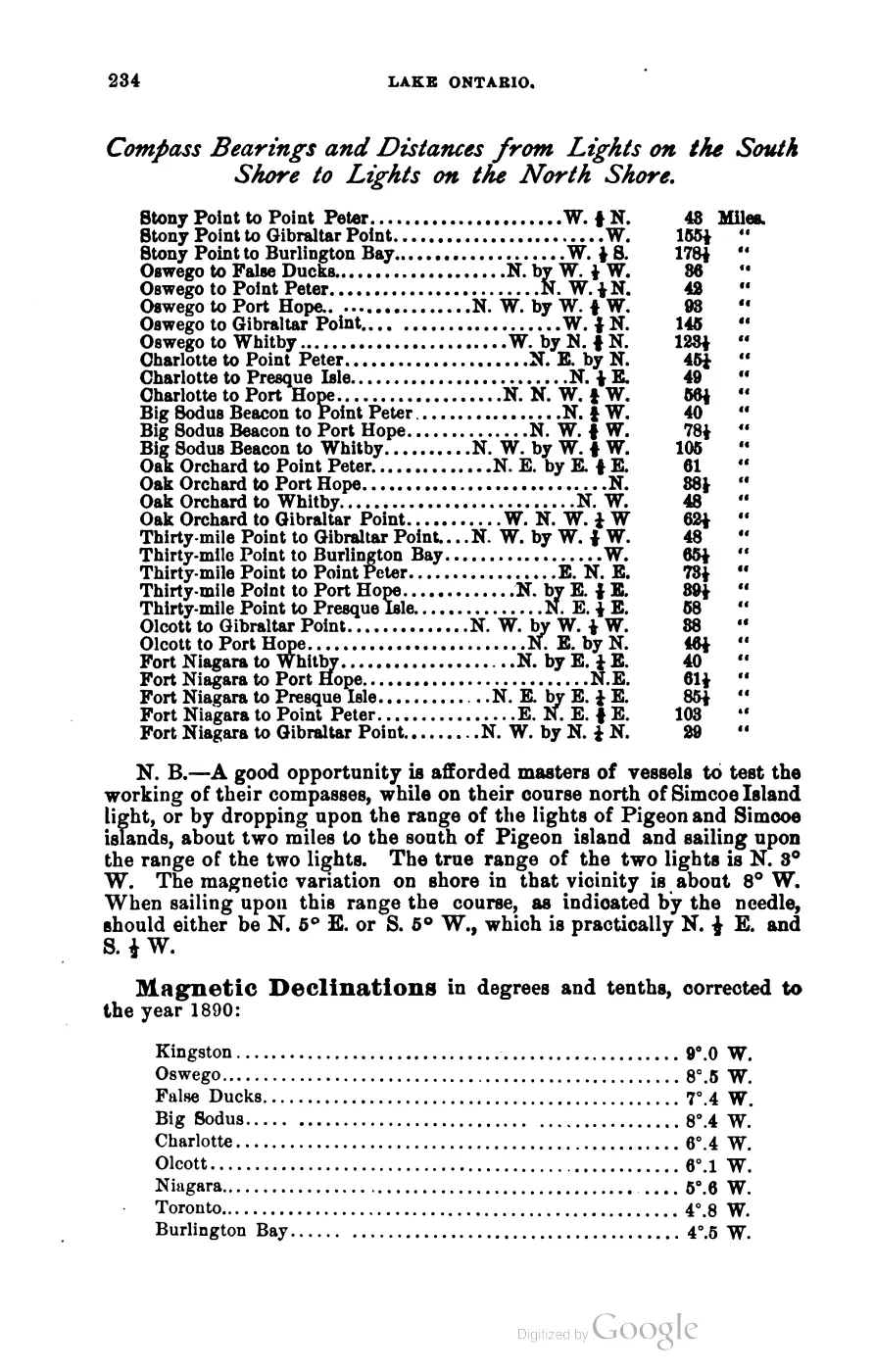
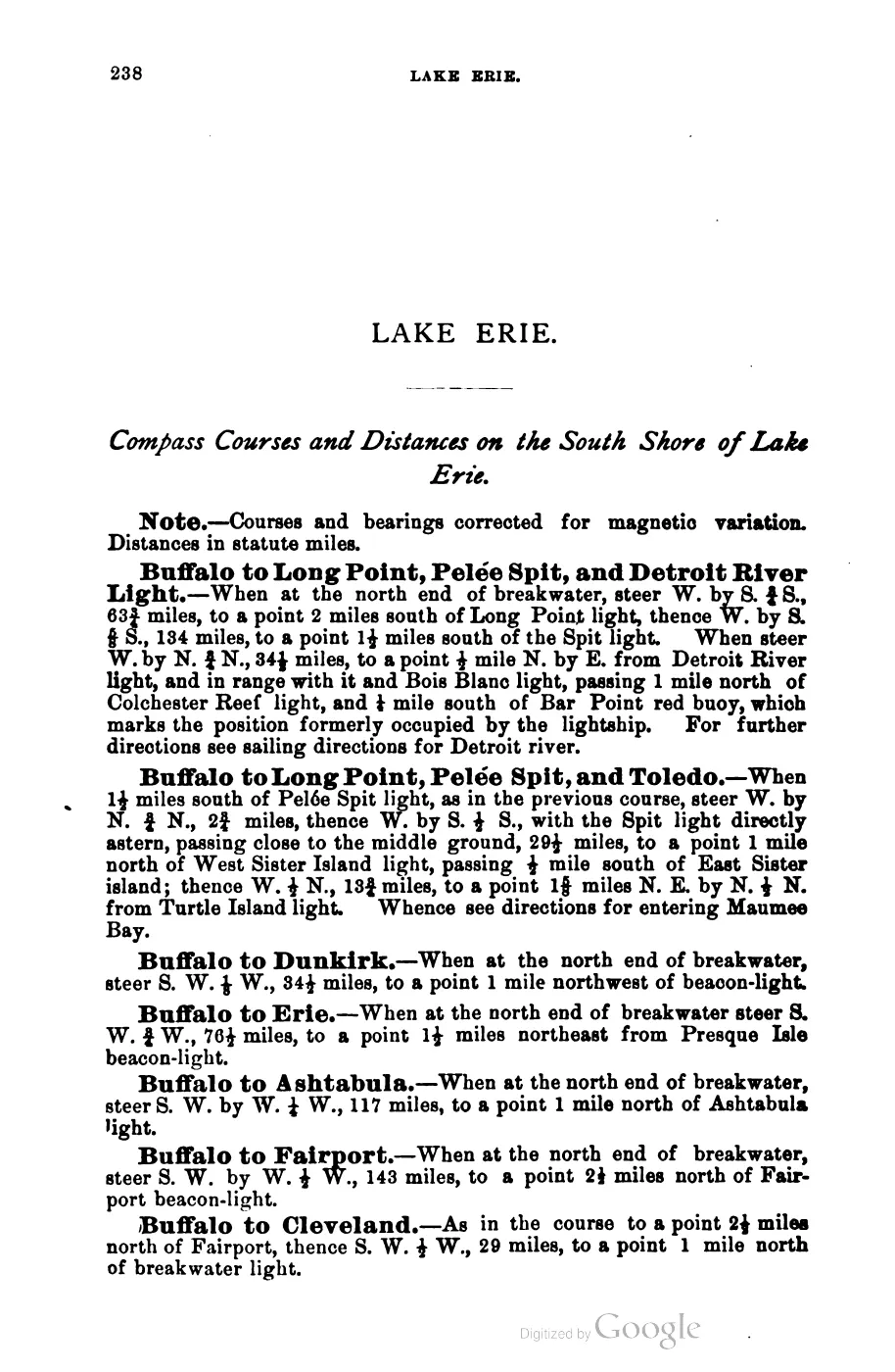
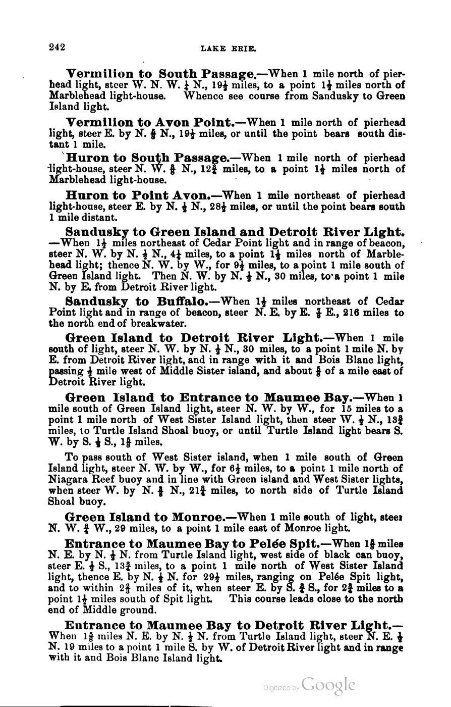
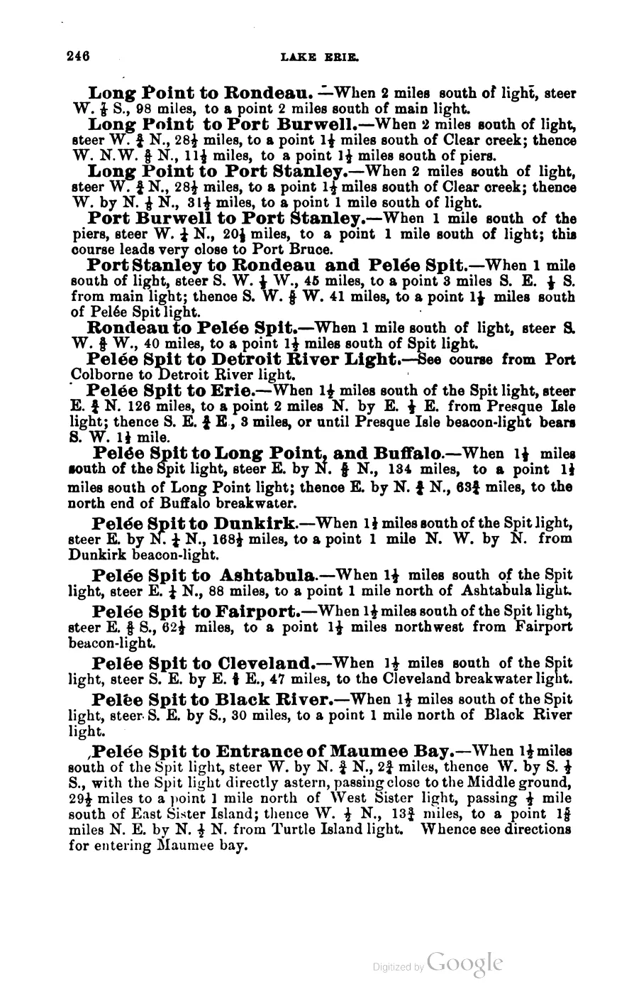
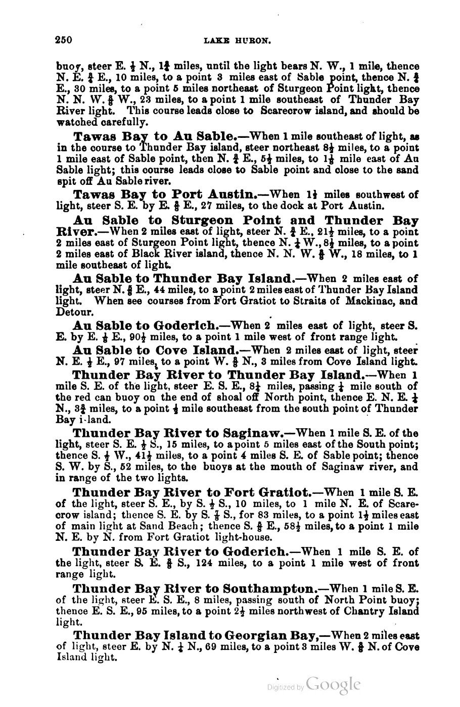
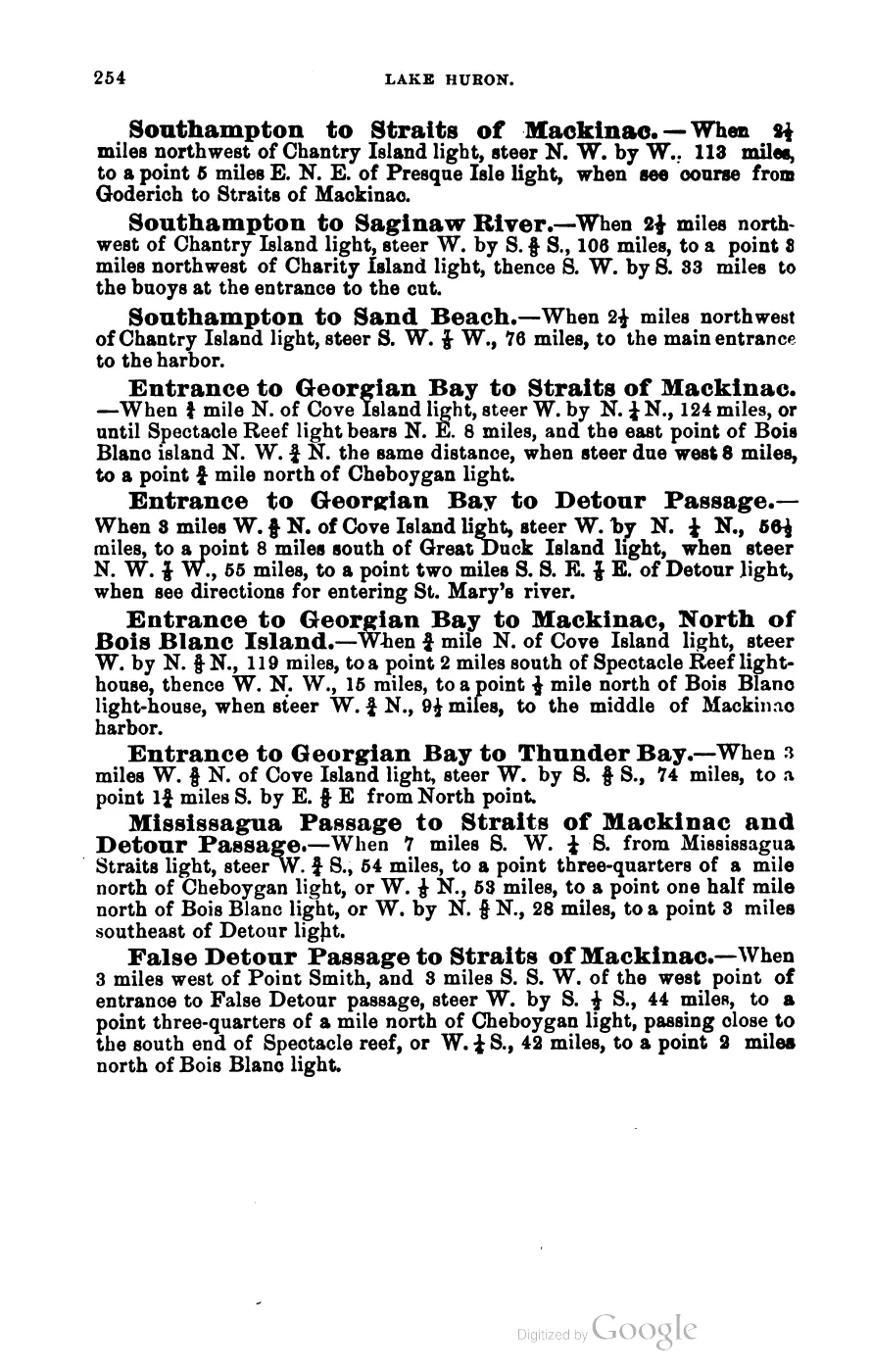
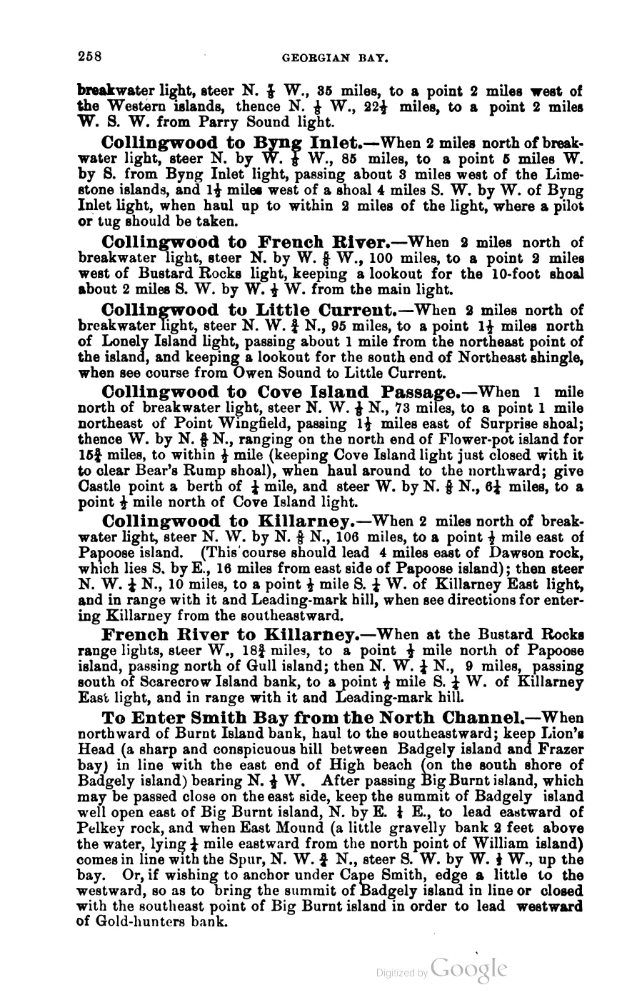
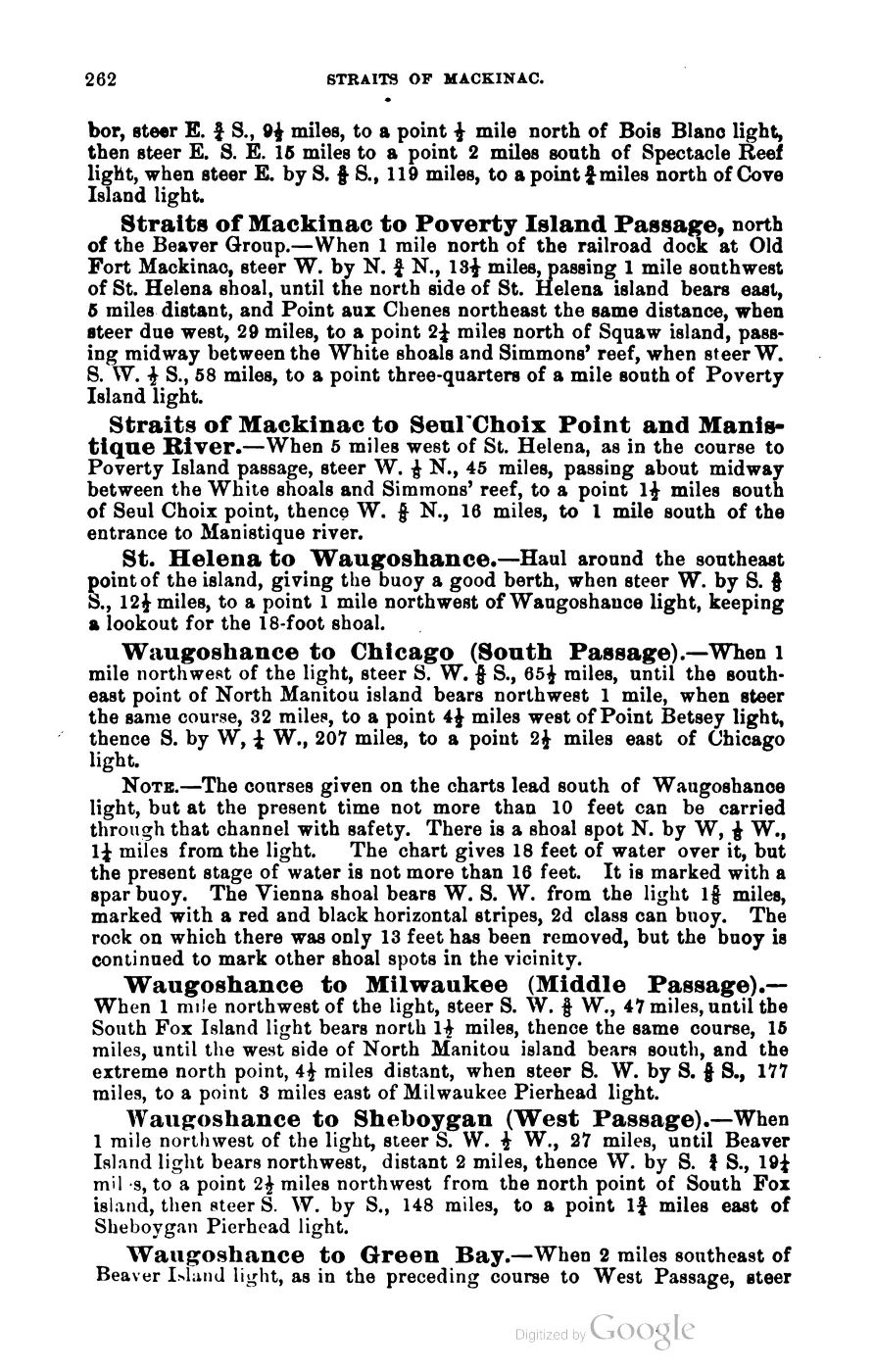
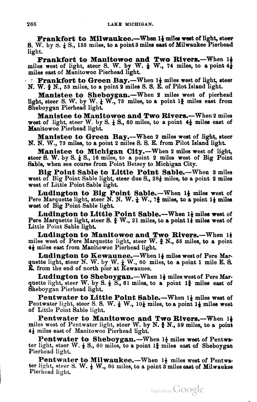
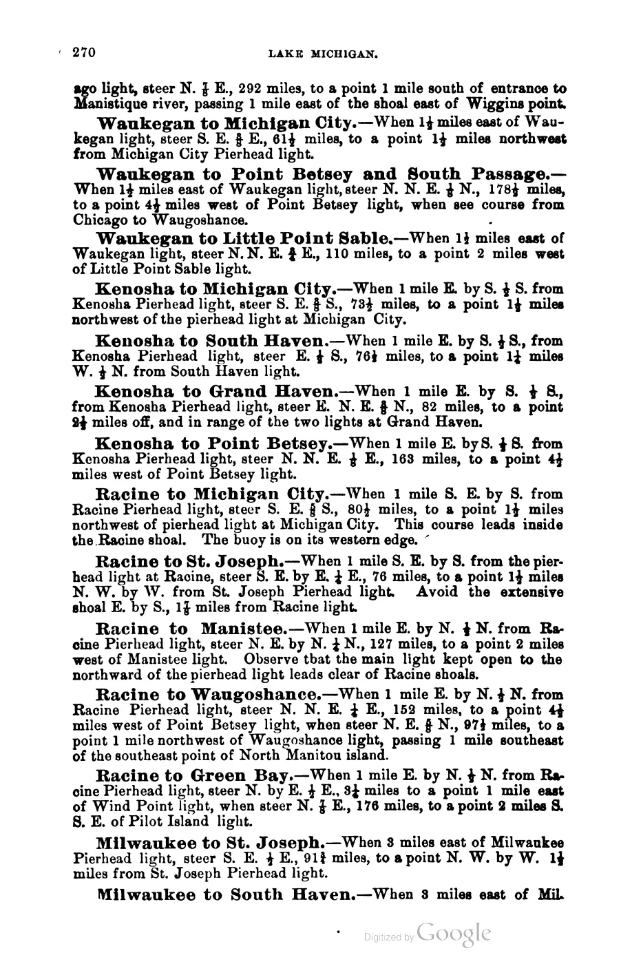
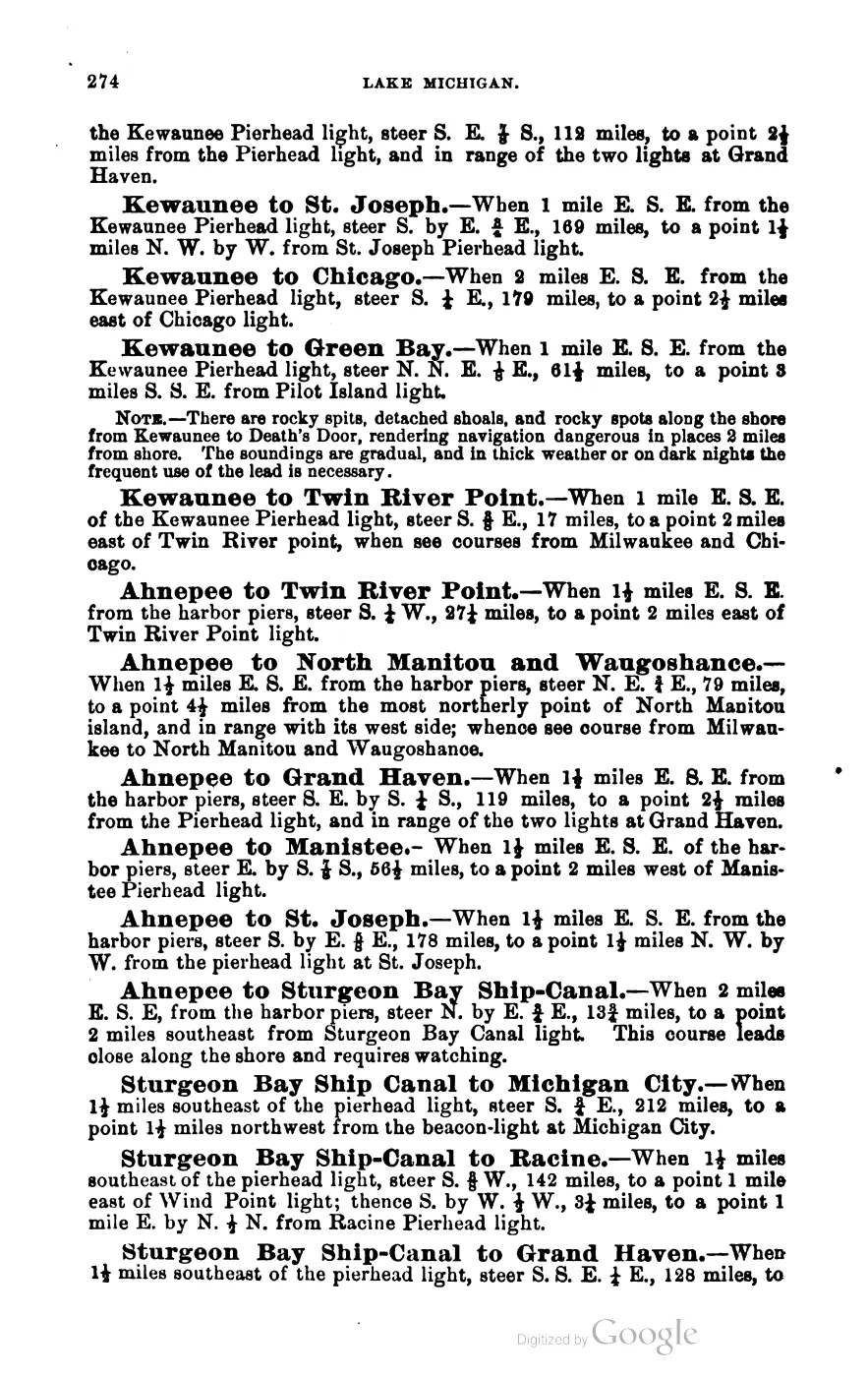
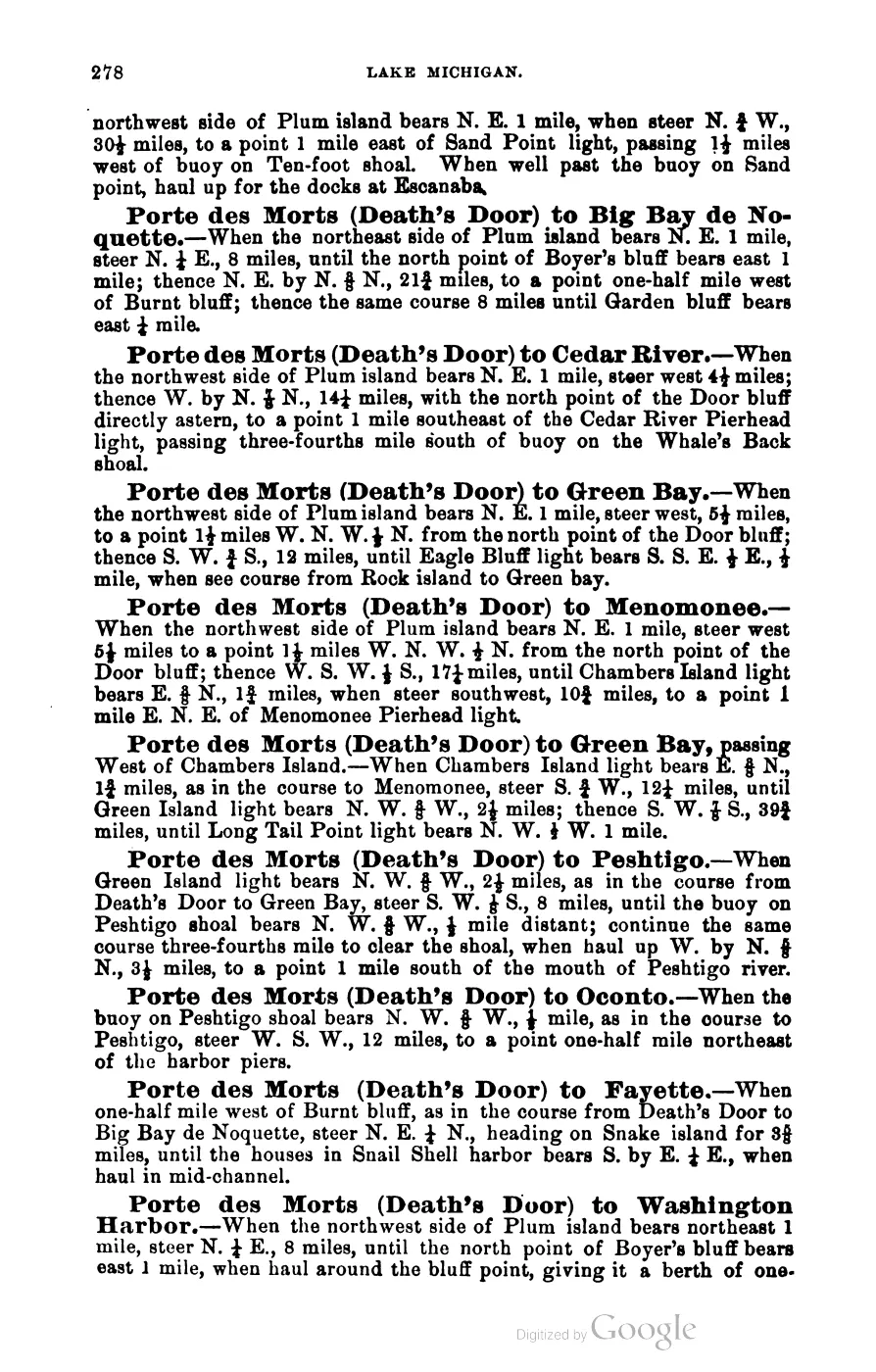
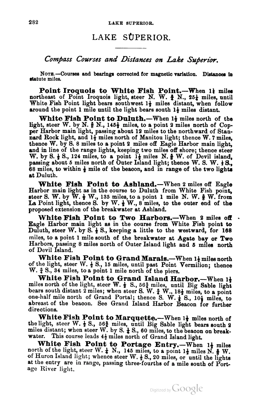
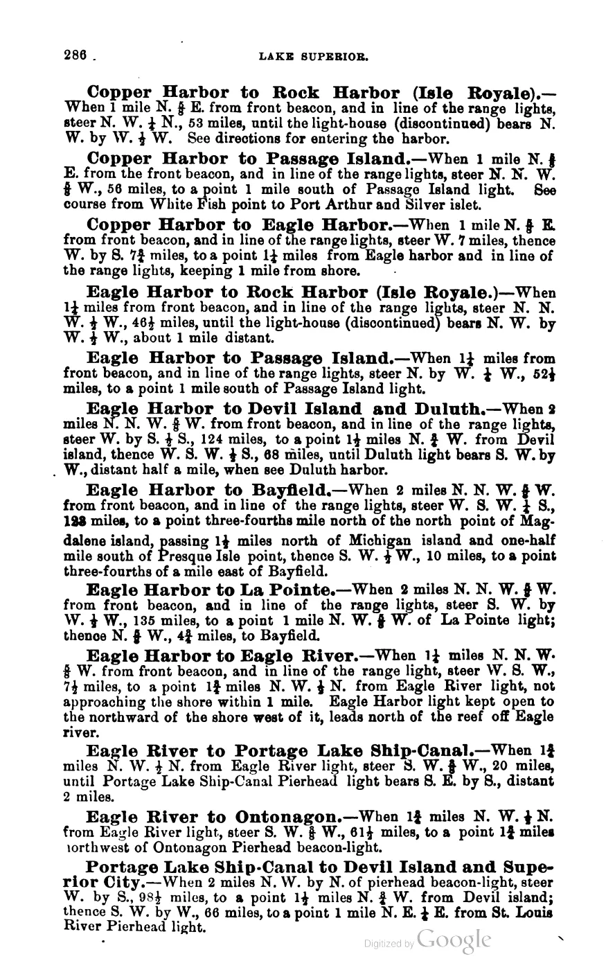
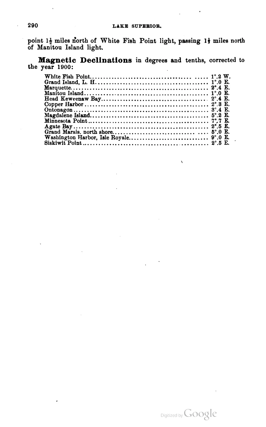
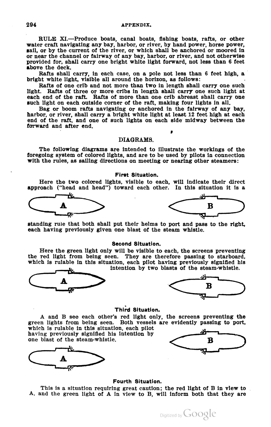
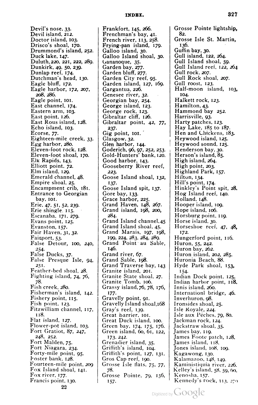
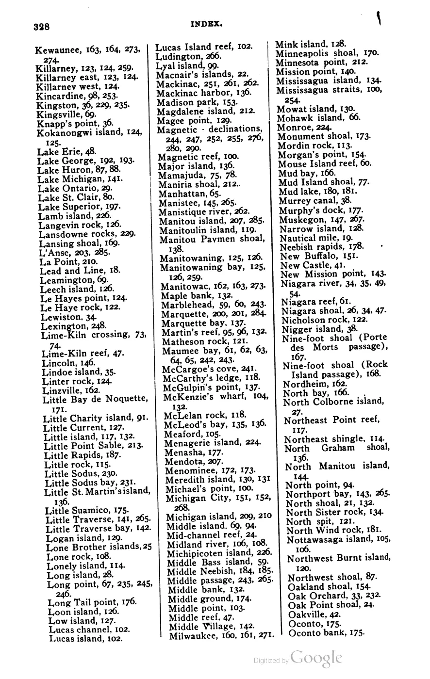
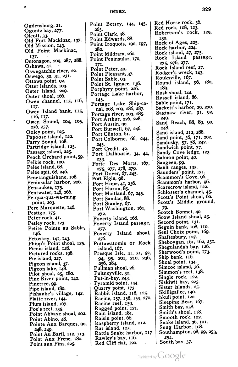
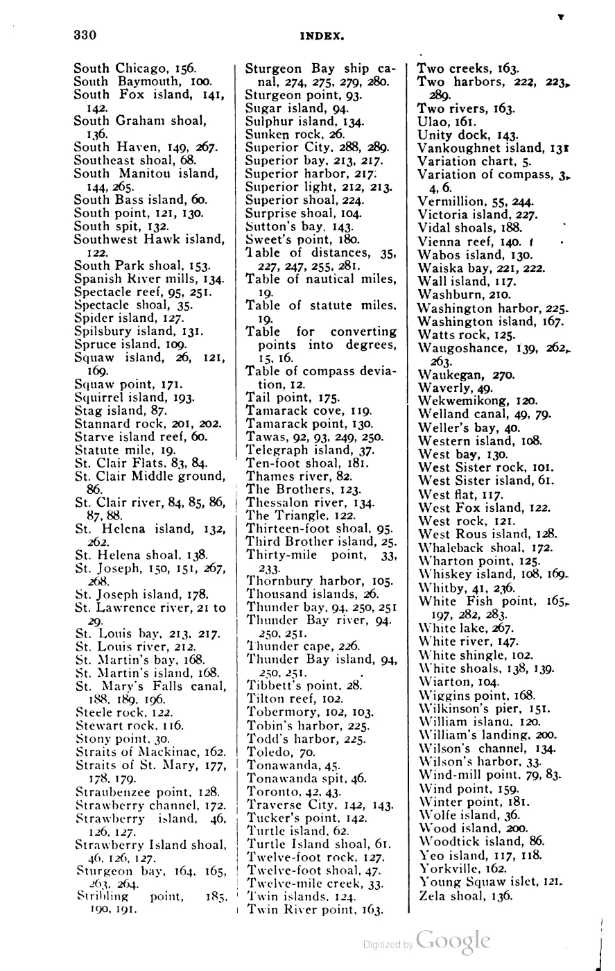



135 of 393 pages linked here — every page to 32, then every 4th, then the last 16. With JavaScript, every page.
Sources
- A family-history discussion distinguishes Beaver Harbor/Whiskey Point Light from the south-end light and reports that Tom Gatliff served as keeper on Squaw Island (now Ojibwa Island) around 1916, while another participant initially identified Bert McDonough as a keeper and denied the Tom Gatliff claim. These are conflicting community recollections, not official keeper-service records; they are retained as a lead for genealogical verification, not as established biography.forum · www.beaverislandforum.com · 00 · t000844
- A participant who said he had cared for the light for more than 20 years asked for help boarding an upstairs window, lowering a buoy bottle, and checking the station after severe weather. Another participant reported seeing a lawn mower inside. These are contemporaneous caretaker/community observations, not an ownership record, structural survey, or proof that maintenance work was completed.forum · www.beaverislandforum.com · 06 · t006938
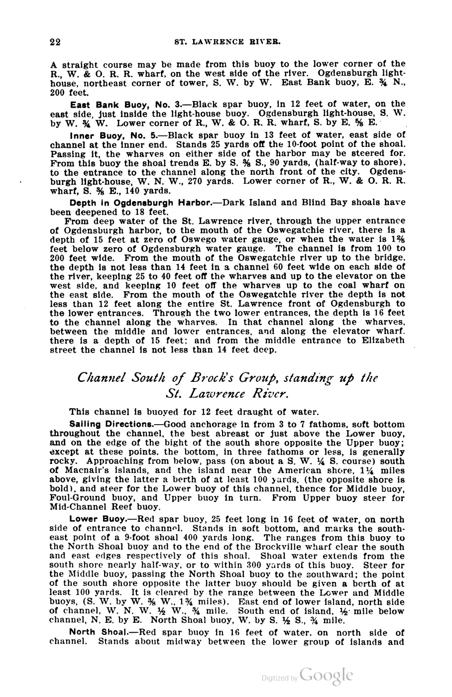
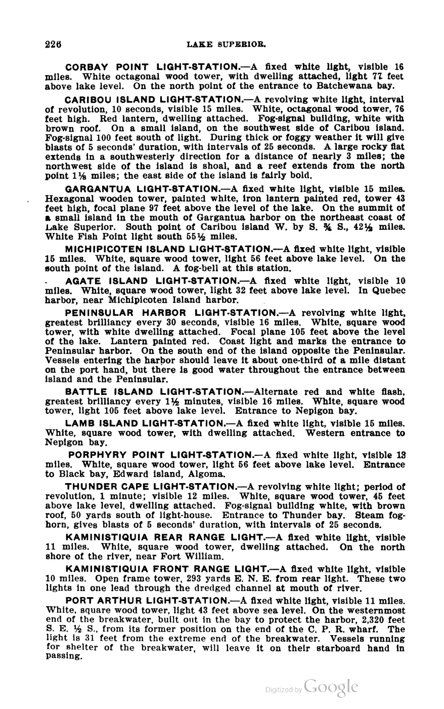
- George Scott, Scott's New Coast Pilot for the Lakes, 6th ed. (Detroit: Free Press Printing Company, 1902), p. 169.Full light characteristic, verbatim: 'SQUAW ISLAND LIGHT-STATION.—A fixed red light varied by a red flash every 15 seconds, 4th order, visible 15 miles. Red brick tower 48 feet high, square at base and octagonal above, and forming the northwest corner of red brick dwelling with red roof. On the northerly end of Squaw island, the most northerly of the Beaver Island group... The focal plane is 57 feet above the lake level.' Fog signal: 10-inch steam whistle, blasts of 5 seconds, alternate silent intervals of 20 and 40 seconds. No public copy of this file is known; the archive holds one and can provide it on request.local_documents · 1902_scott-new-coast-pilot-for-the-lakes-6ed
- Credits the 1855 secondary triangulation, topography and hydrography of 'High, Gull, Trout, Whiskey and Squaw Islands' to assistants G. W. Lamson, H. Gillman and sub-assistant J. B. Williams. The chart's own 'Light Houses' table (as reprinted/presented 1861) does not list a Squaw Island light, indicating none existed there yet at that date.federal · noaa_charts · images · 1855_NORTH-END-OF-LAKE-MICHIGAN-INCLUDING-THE-BEAVER-ISLAND-GROUP-NORTH-END_LC00010-00-1855WWL
- Coordinates of the island (45.8369401, -85.586759); records the historical name Squaw Island and the current official name Ojibwa Island, renamed by Secretarial Order, bgn_date 2022-09-08. CORRECTED 2026-07-31: an earlier draft read this as a "1980/2022" two-stage action. There was no 1980 naming event. GNIS date_created 04/14/1980 is the Phase I bulk-load date and is shared by 62 of the 78 features in this AOI (79.5%), including Beaver Island itself - verified against the held gnis_names.geojson. One action, 8 September 2022. Note separately that the LIGHT's own name changed by a different authority: U.S. Coast Guard, between the 2023 and 2024 Light List editions.federal · gnis · gnis_names
- Point location of the extant tower, on the north end of the island, consistent with Scott's 1902 description.osm · lighthouses_maritime
- Reports the December 1900 seasonal closing, the five-person light-crew departure, capsizing, and later lighthouse-service consequences for Shields and McCauley.data1 · beaver-island-archive · beaver_beacon · 1965-01_Beaver-Beacon
- The held six-page issue scan is paired with the OCR source and confirms the published notice or report; it does not expand the source-specific identity, event, or outcome claims.data1 · beaver-island-archive · scans · beaver_beacon · issues · 1965-01_Beaver-Beacon
- A forum post directed readers to a five-part 9&10 News report about preserving and saving the Squaw Island lighthouse. The archive preserves the referral, not the linked broadcast or evidence of completed restoration work.forum · www.beaverislandforum.com · 11 · t011087

Added 28 July 2026 · revised 3 August 2026. Recent changes
Cite this article
Beaver Island Archive, “Squaw Island Light Station”, https://beaverislandarchive.org/structures/squaw-island-light-station/, accessed [date], citing Michelle LaFreniere, Kim Connaghan, and Shirley Cole, “Light Houses,” Beaver Island Forum, March 25–27, 2007. (and 8 further sources listed on the page).
Last revised 2026-08-03. Fill in [date] with the date you read it — this page is static and cannot know that.
BibTeX for “Squaw Island Light Station”RIS for “Squaw Island Light Station”