

- Coordinates
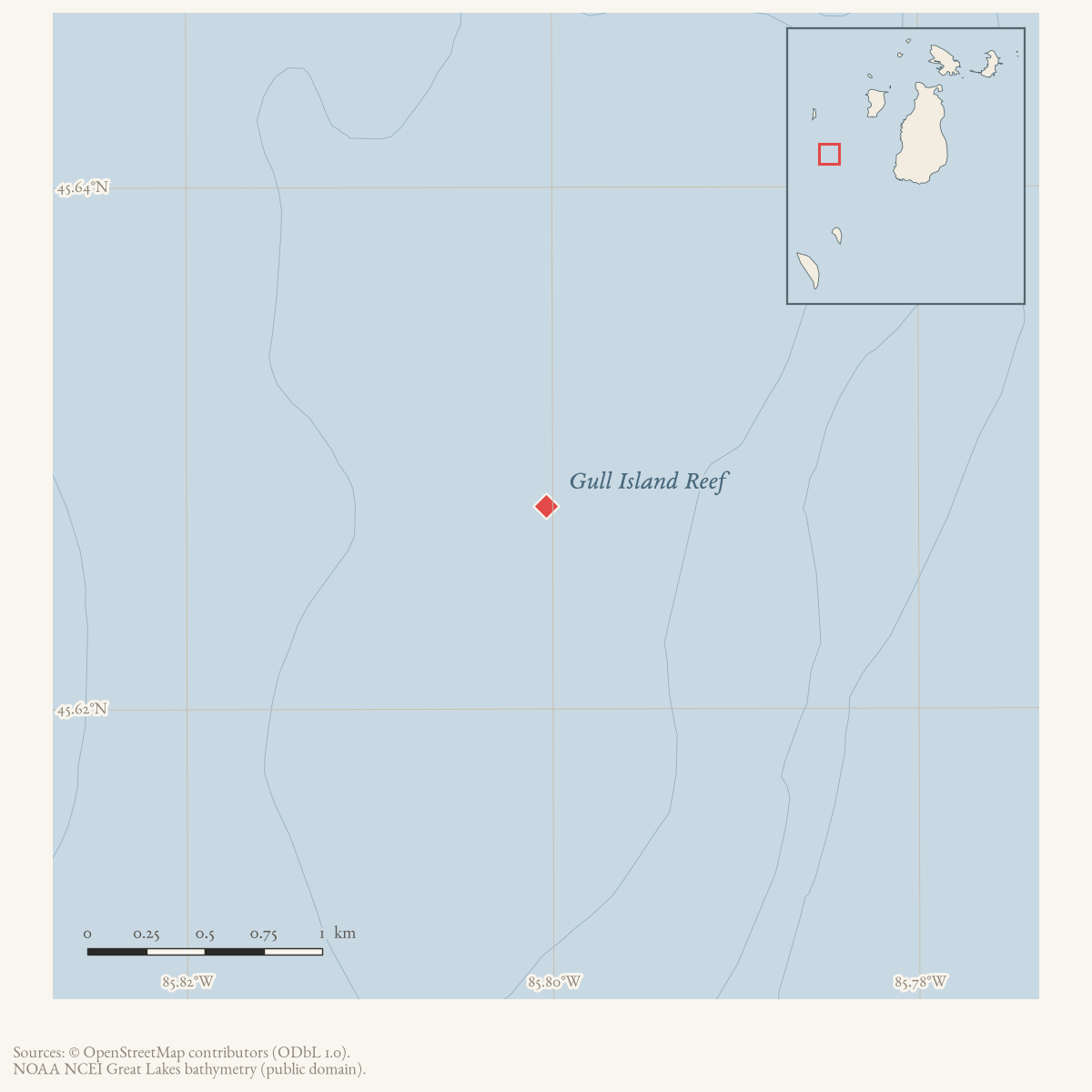
- 45.6278° N, 85.8004° WGoogle Maps: Gull Island ReefDownload KML
- Eras
- Modern era
- Concepts
- maritimeshippingenvironmentfishing
- Within
- Beaver Island archipelago
- Media
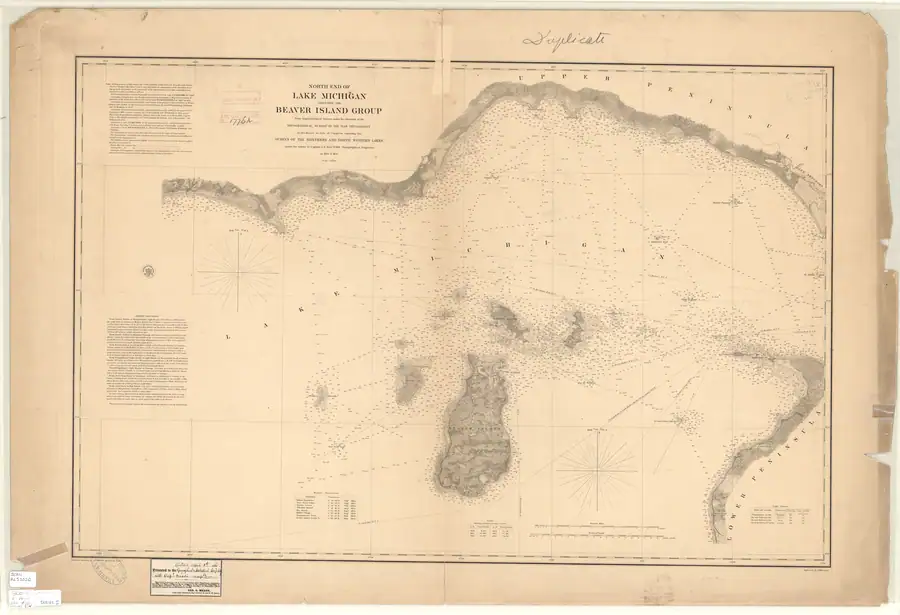
- North End of Lake Michigan Including the Beaver Island Group, 1855 Lake Survey chart
Summary
Gull Island Reef is a named offshore feature in the Beaver Island archipelago’s western waters. Its official GNIS label point lies within the held 2001 lidar bathymetry-survey coverage. Scott’s 1902 Coast Pilot describes the reef as a five-foot shoal four miles south-southeast of Gull Island’s south point. The 1855 Lake Survey records systematic survey work around Gull Island, and held USGS metadata documents a 2001 lidar bathymetry survey named for the reef.
Evidence and limits
The held sources establish the feature name, its GNIS identifier and official label point, two survey contexts, a historical five-foot sounding, a bearing-based 1902 description, and historical fisheries-enforcement references. They do not provide a reef boundary, a current shoalest depth, or a continuous history of aids to navigation. The GLFC’s separately worded “Gull Island Shoal” is not silently merged with this record without a source explicitly equating the names.
The 1928–1929 newspaper reports place the reef in a fisheries-enforcement context, but do not establish the physical location of the nets or the extent of the reef. The displayed GNIS point is a navigational label anchor only: the 2001 lidar bounding box confirms compatible survey coverage, but does not turn that coverage into a feature outline.
Open questions
- Can the held lidar grid support a separately documented, reproducible reef morphology or depth analysis without confusing a 2001 survey product with a current nautical chart?
- Which historical chart editions, if any, identify the same feature with a surveyed point or boundary?
See also
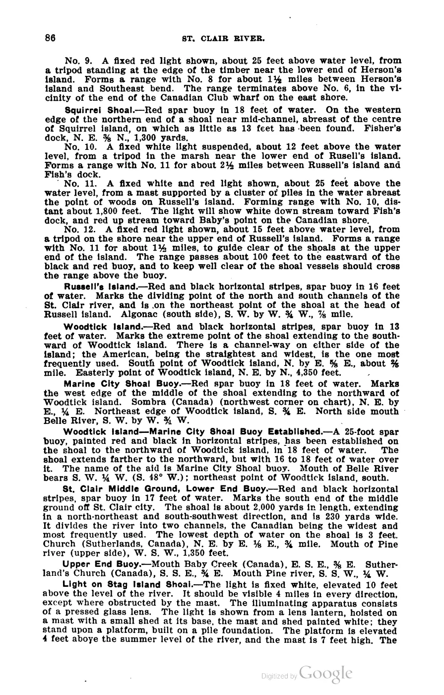
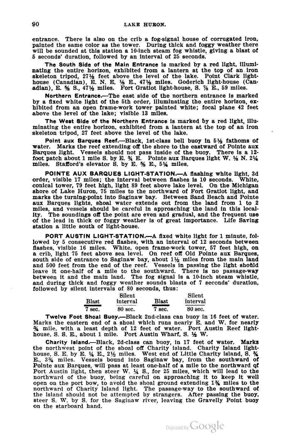
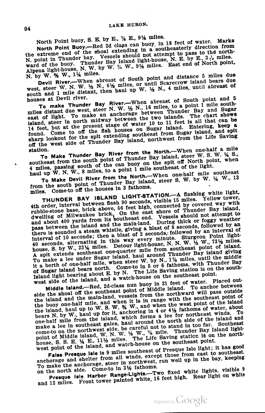
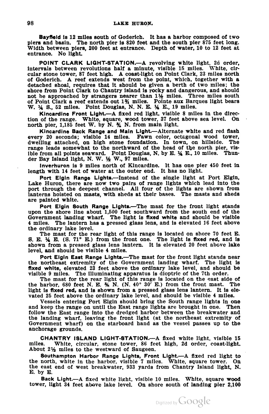
Read the document
393 pages, rendered from the held scan.

Jump to a page — 393 in all






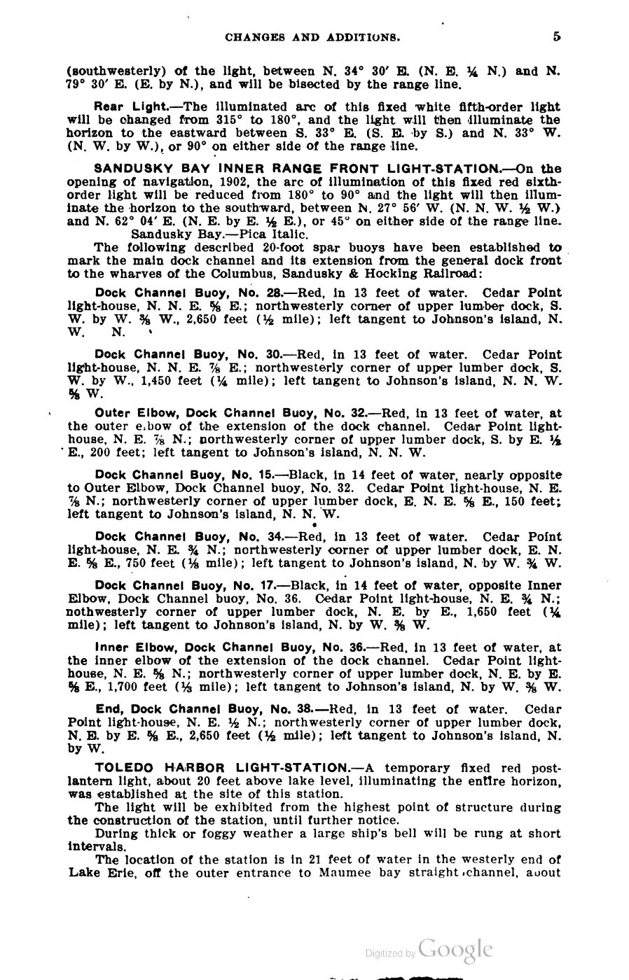
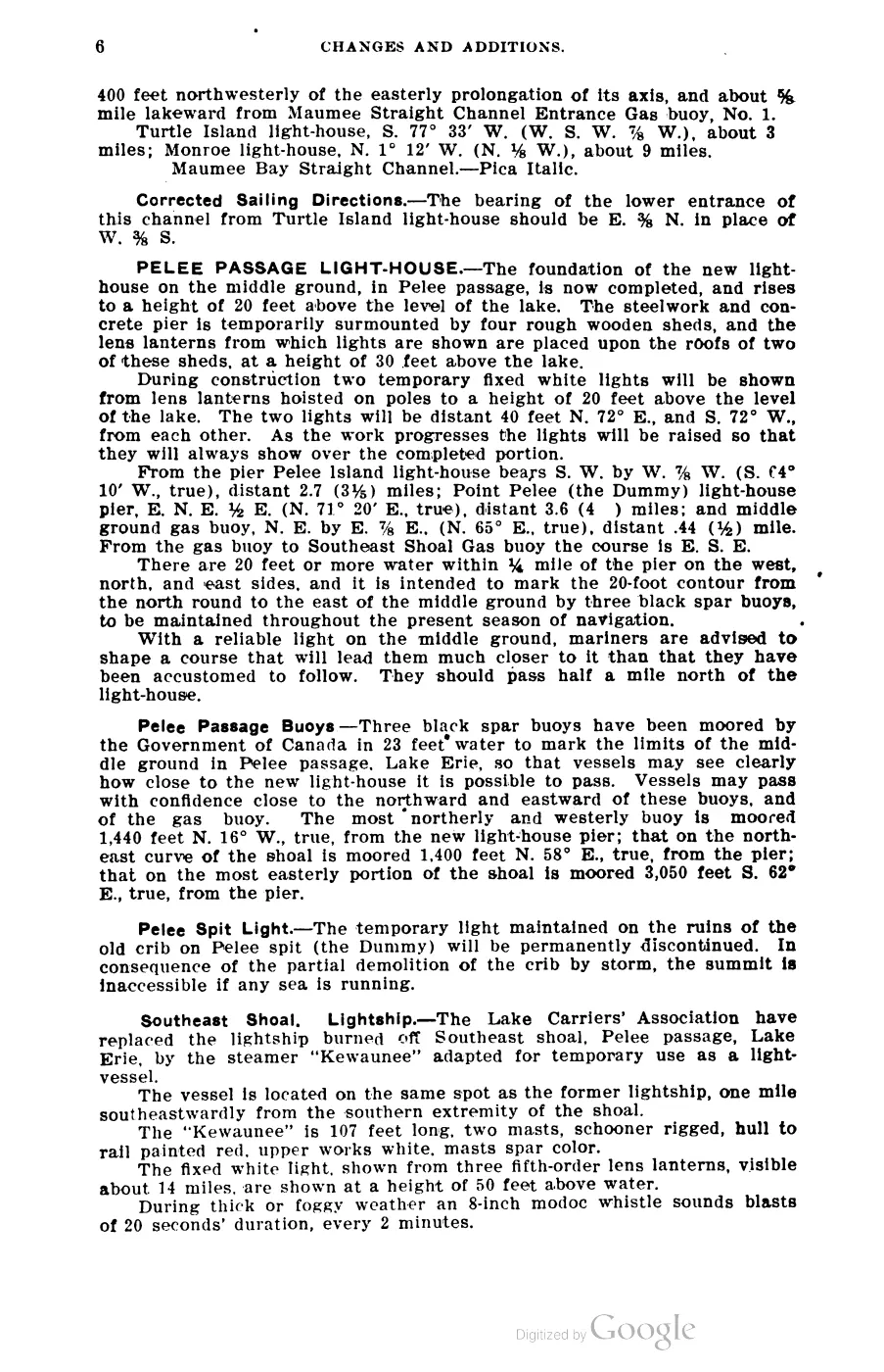
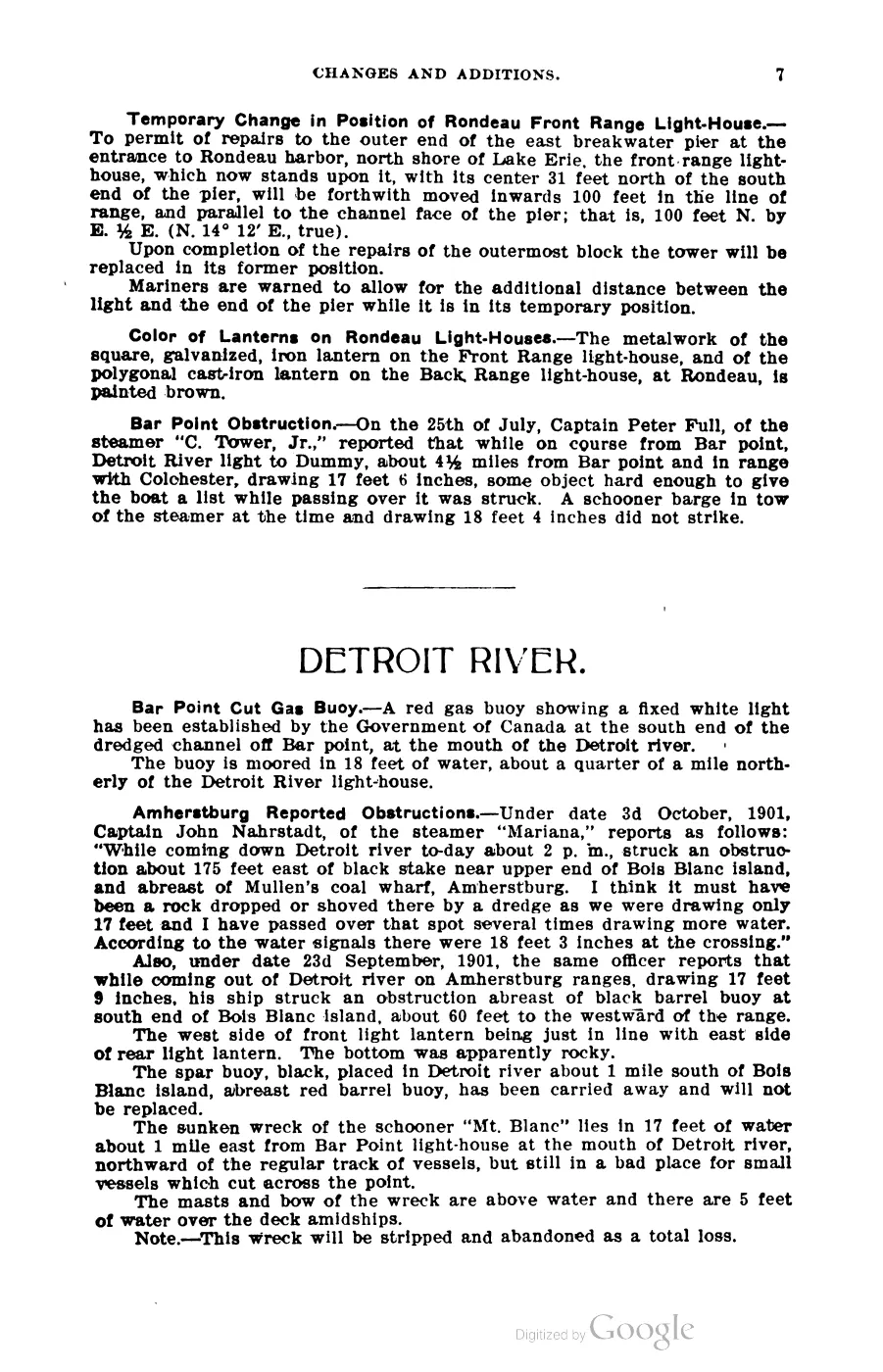
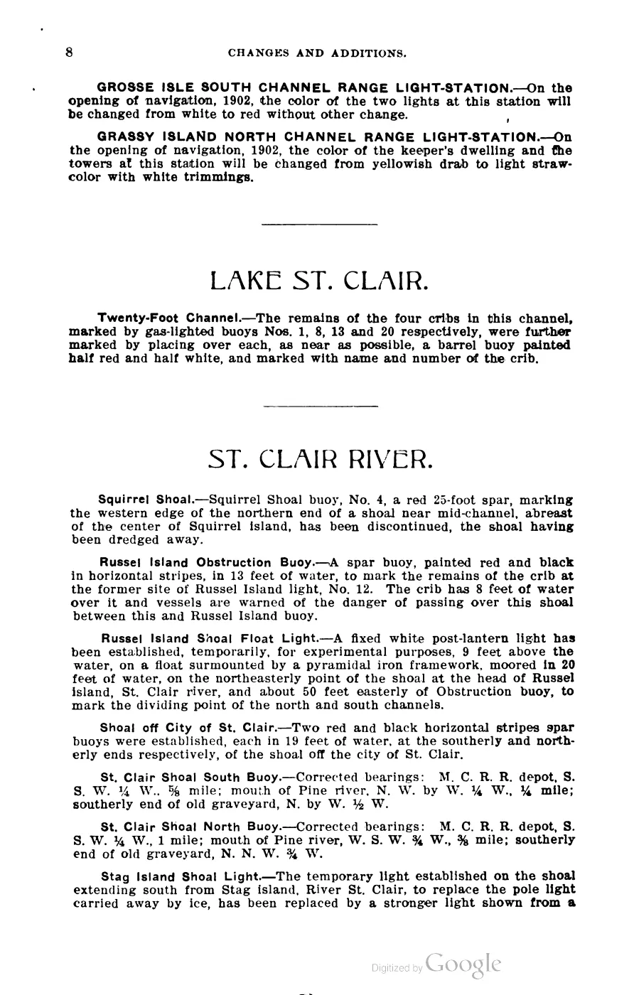
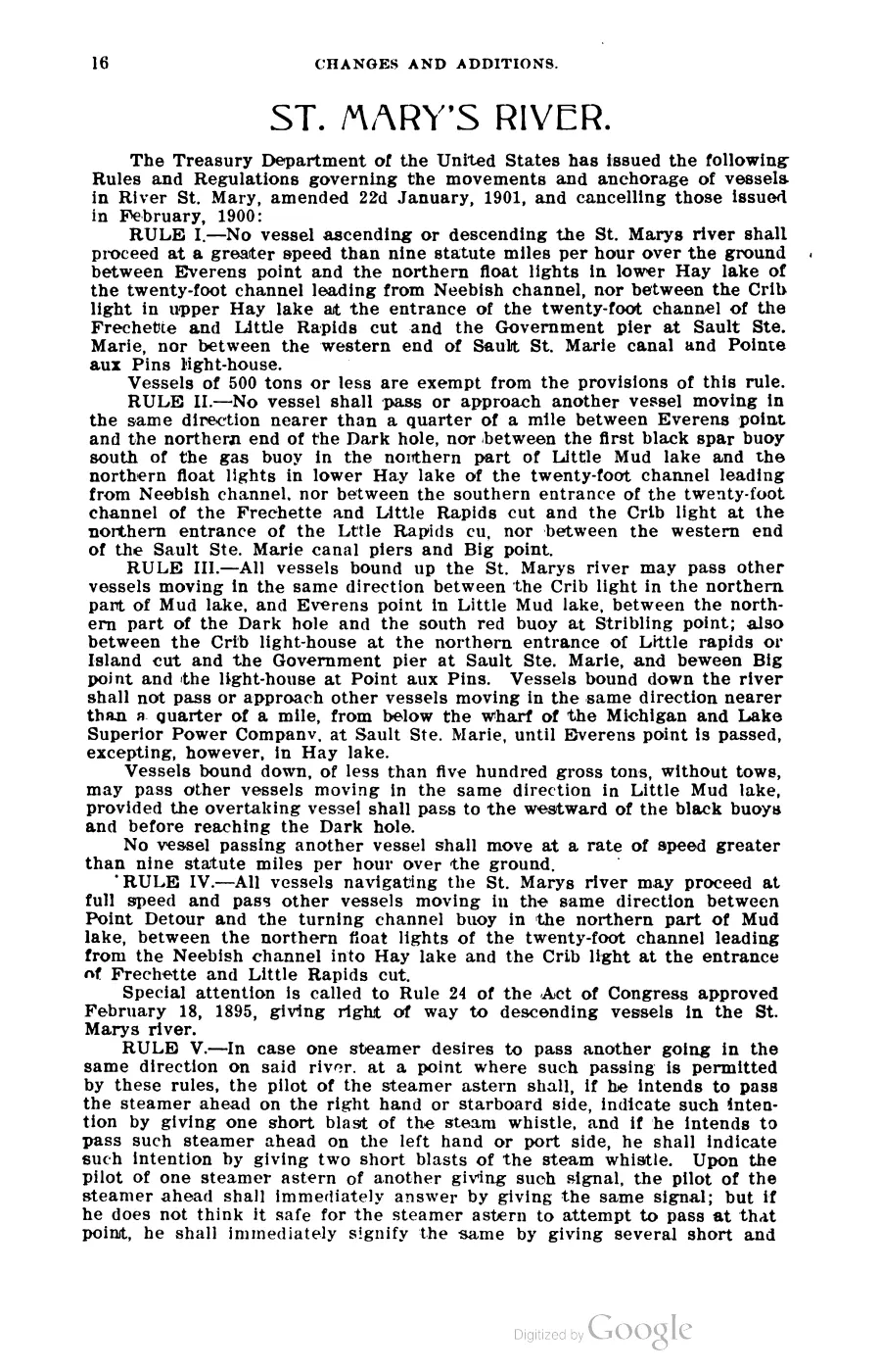
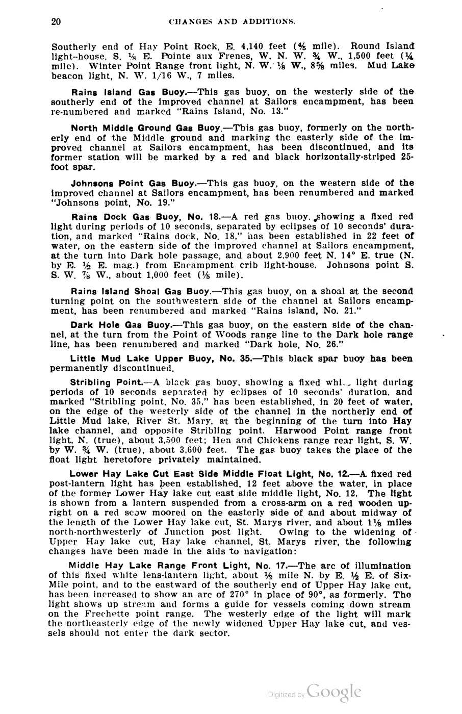
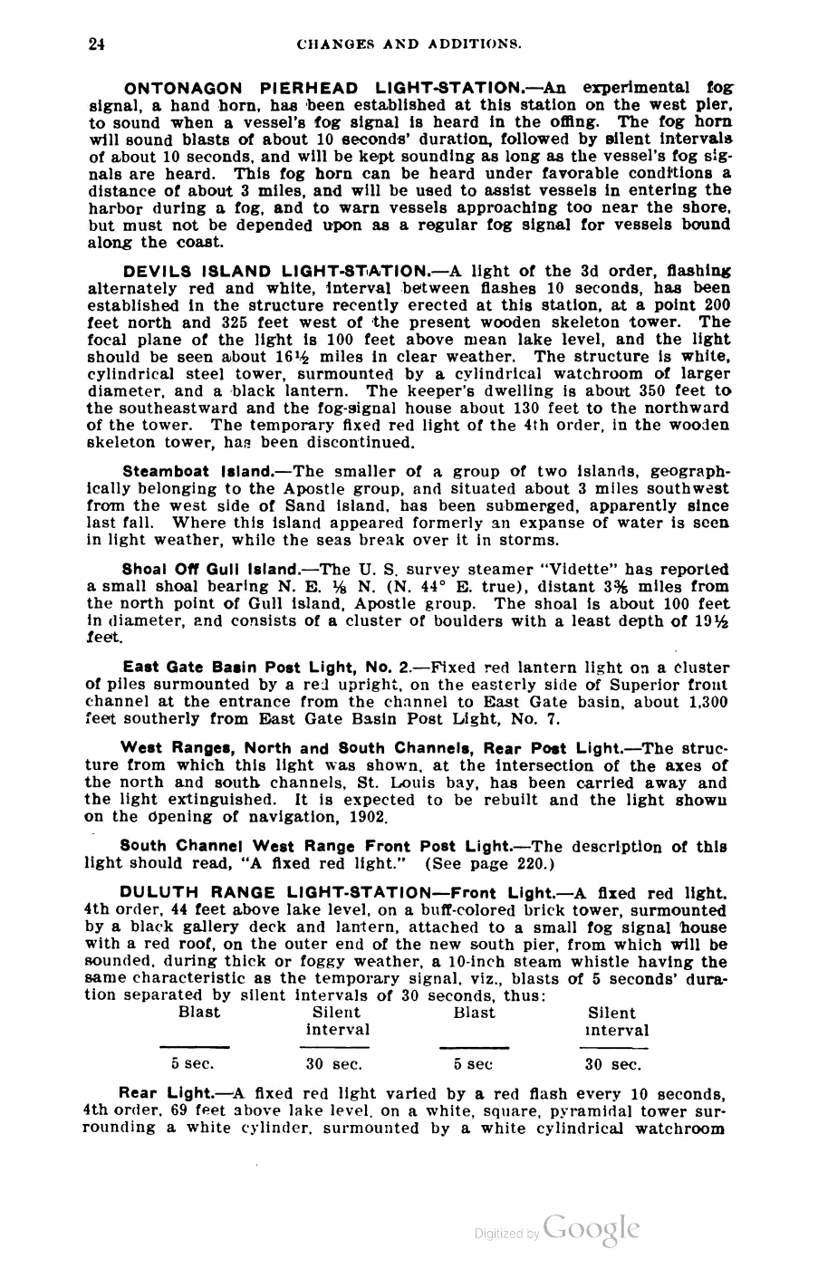

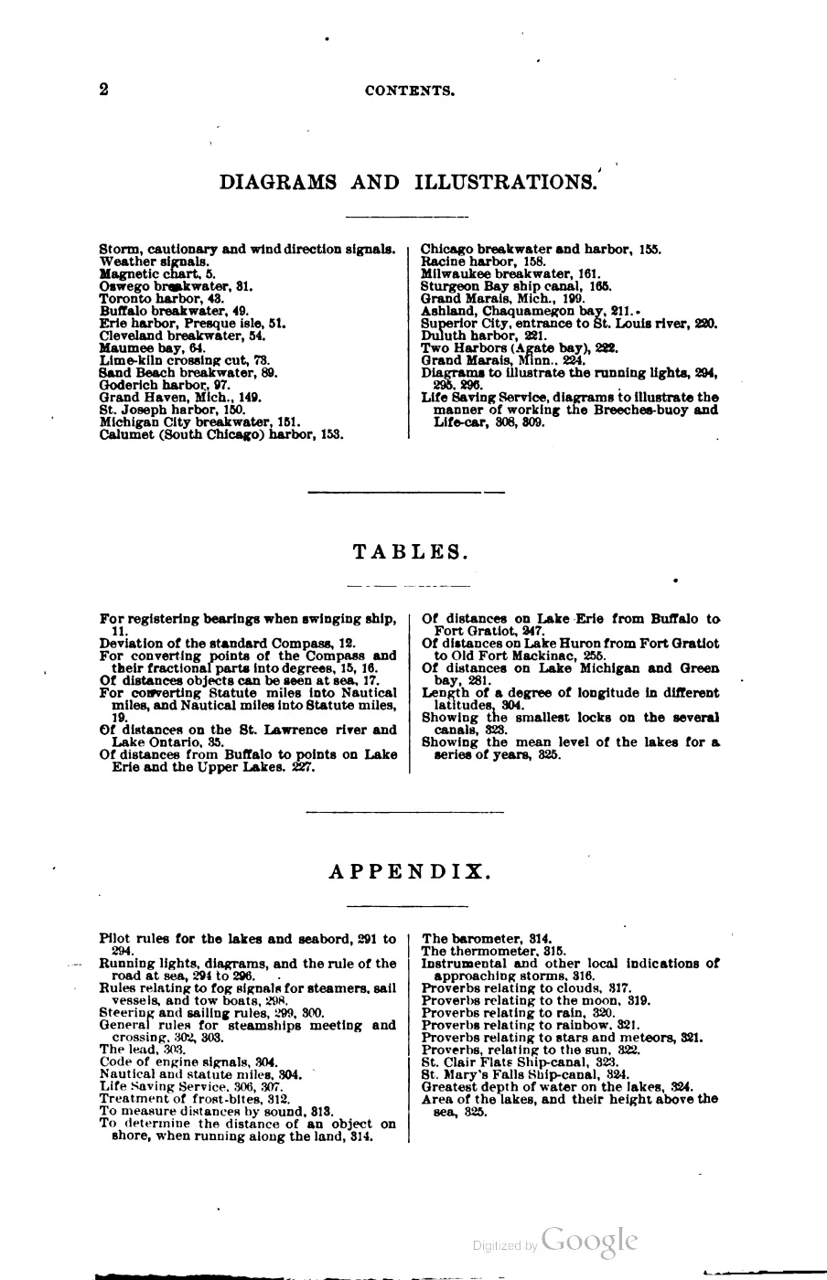
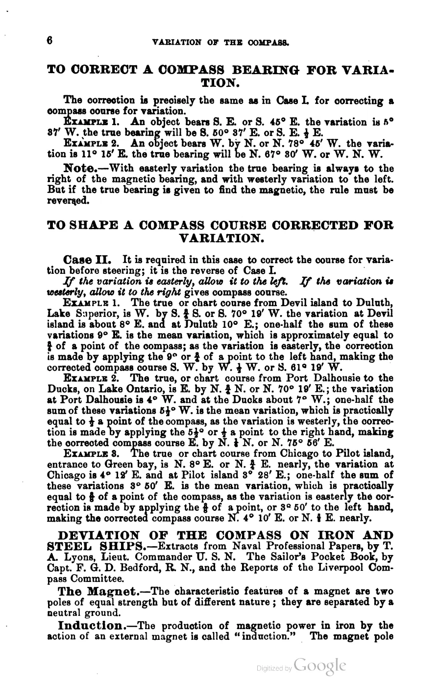
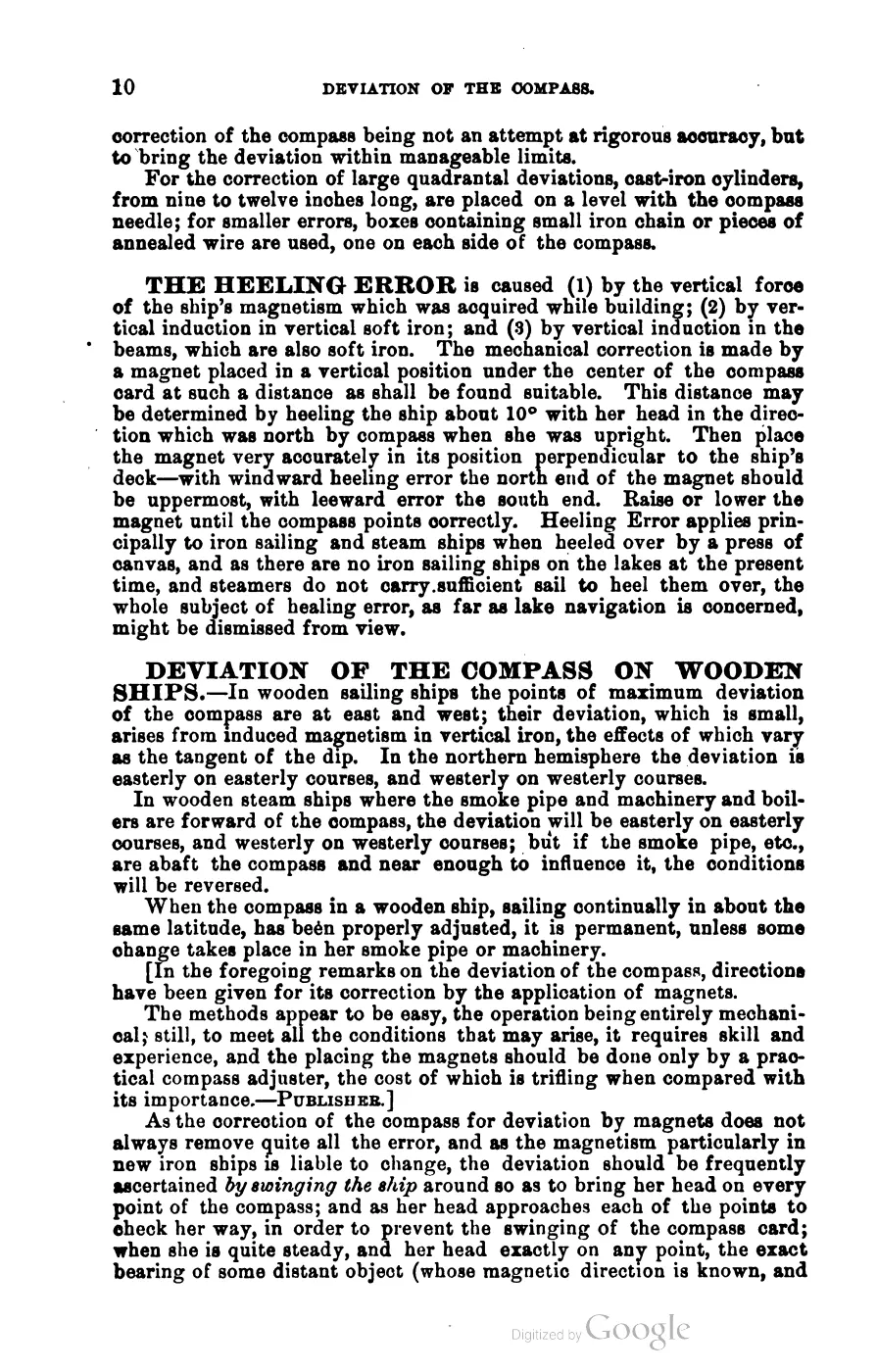
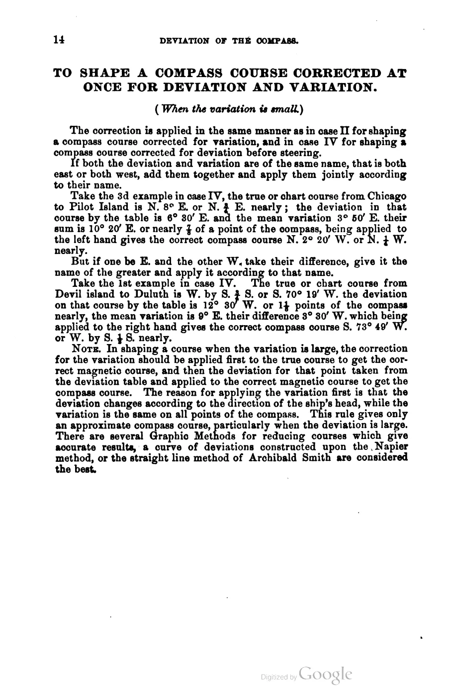
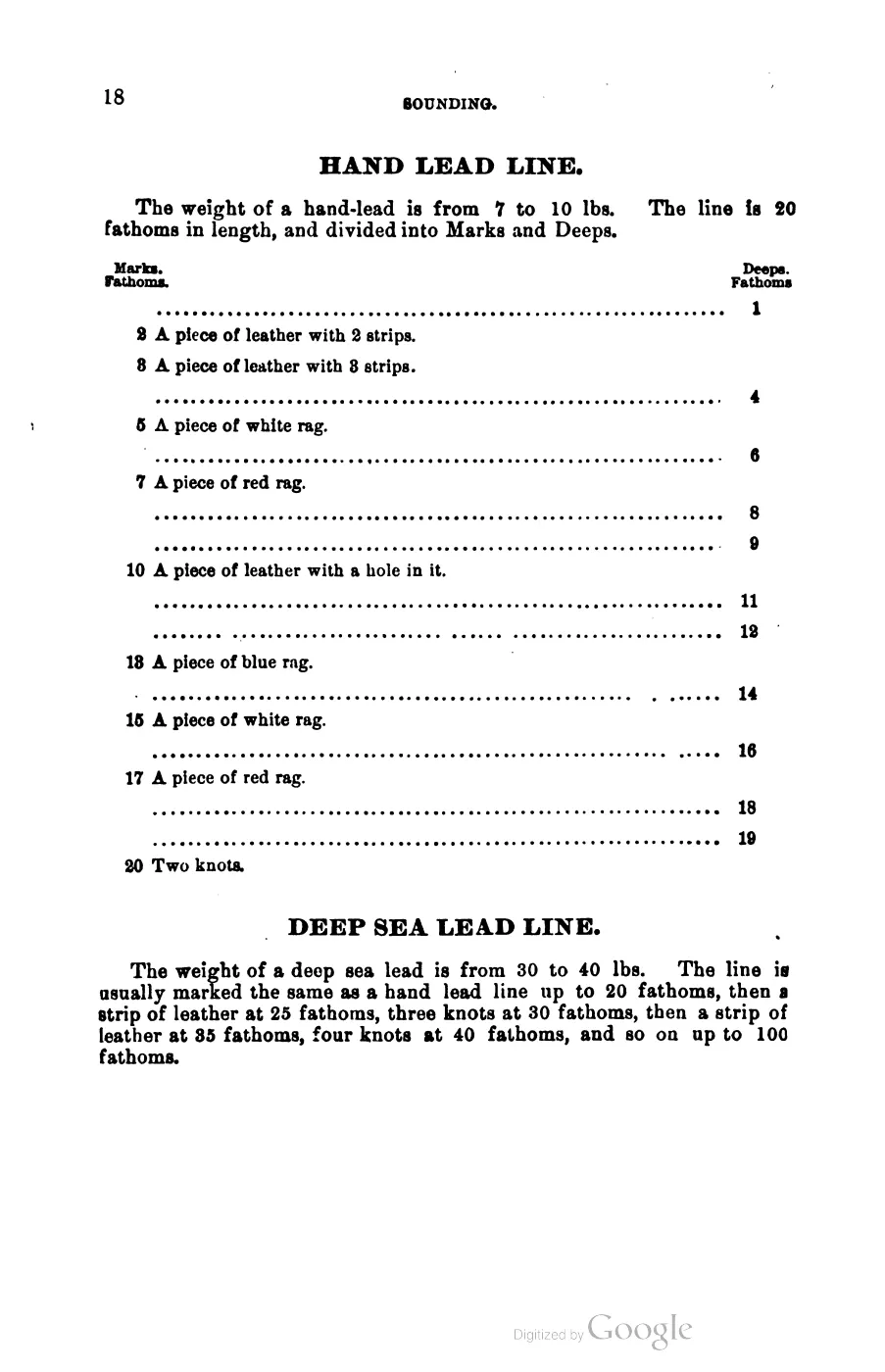
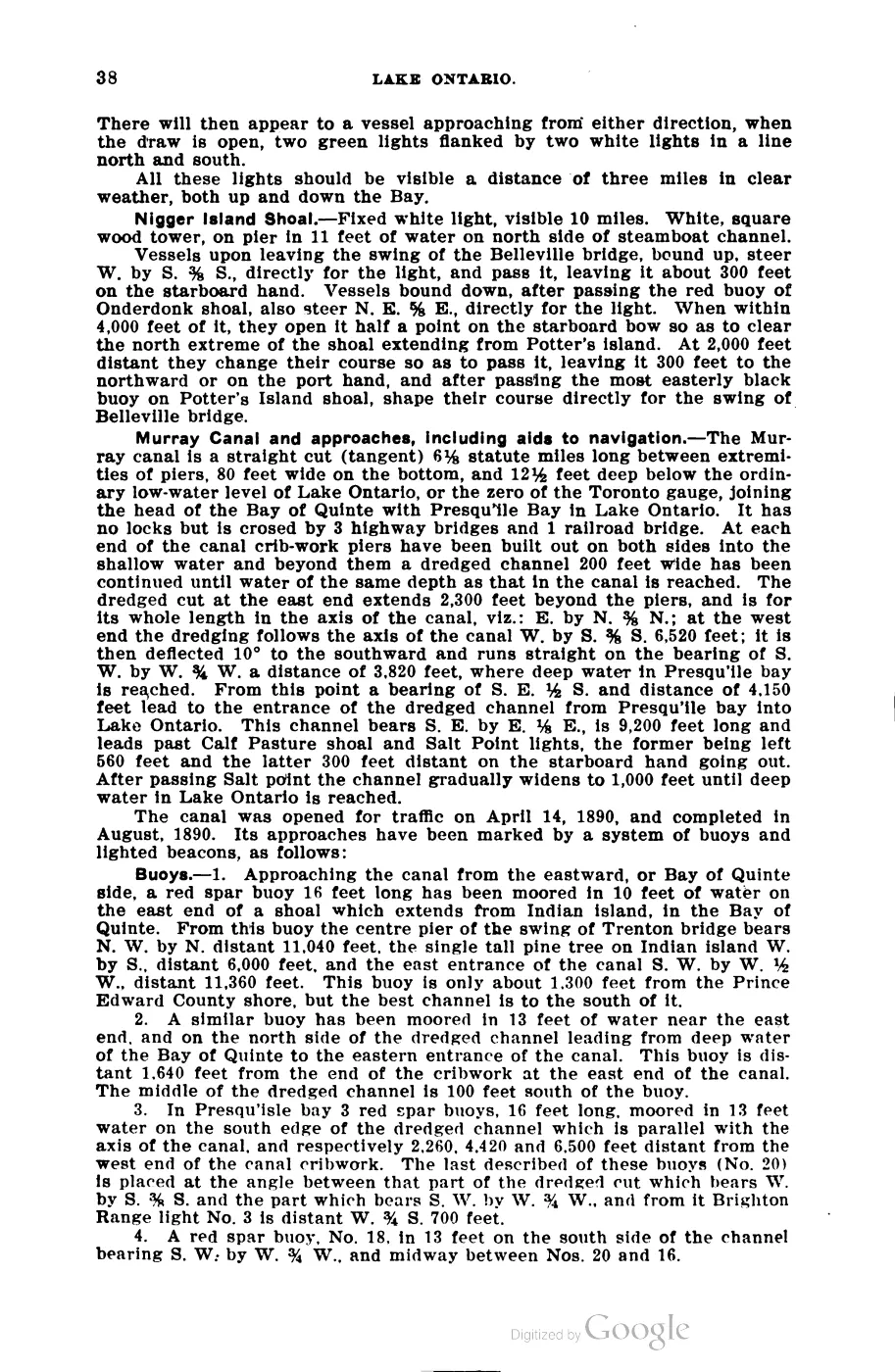
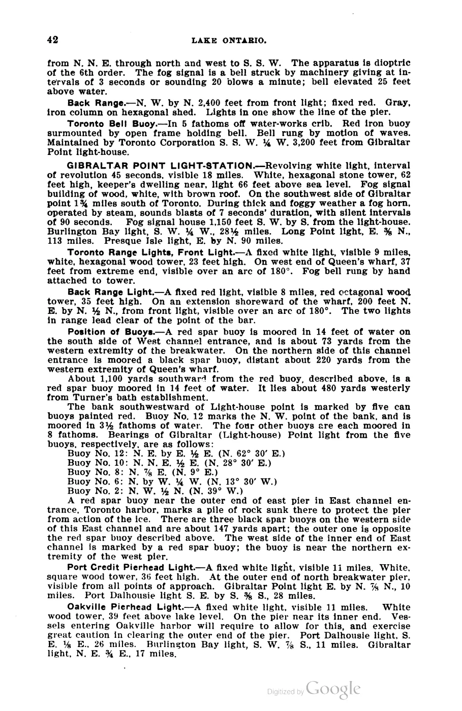
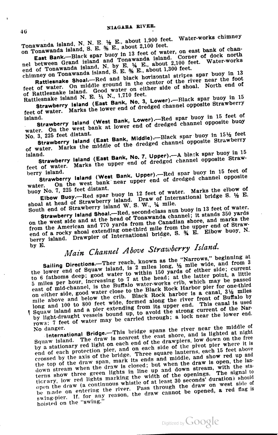
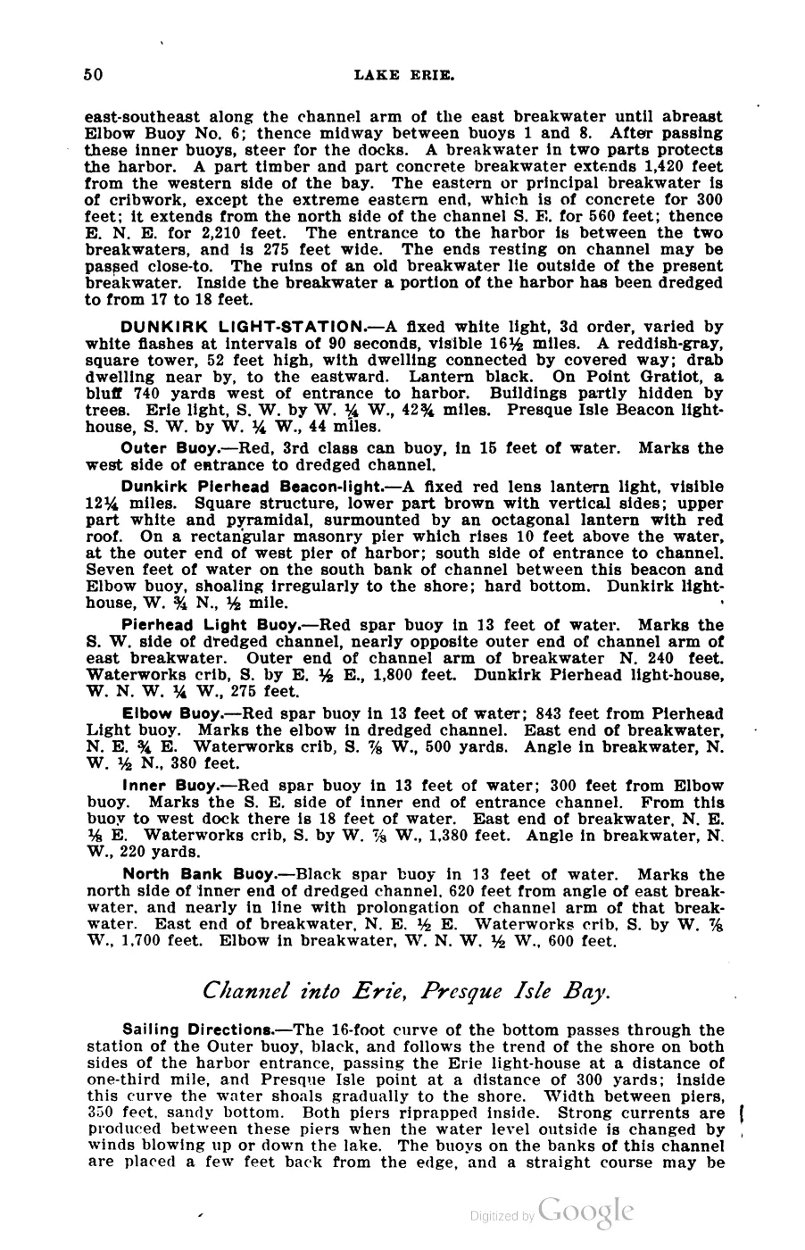
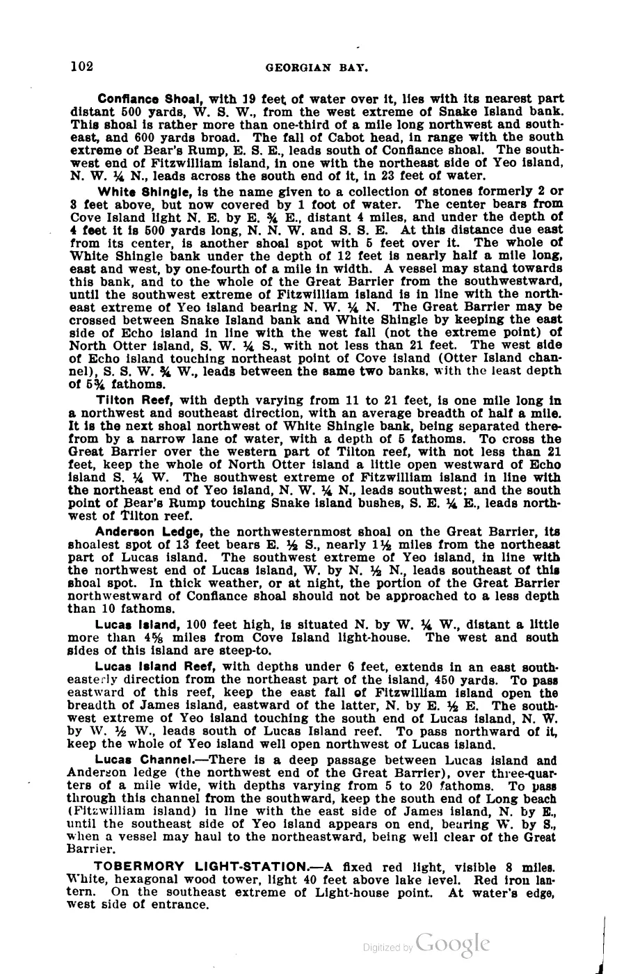
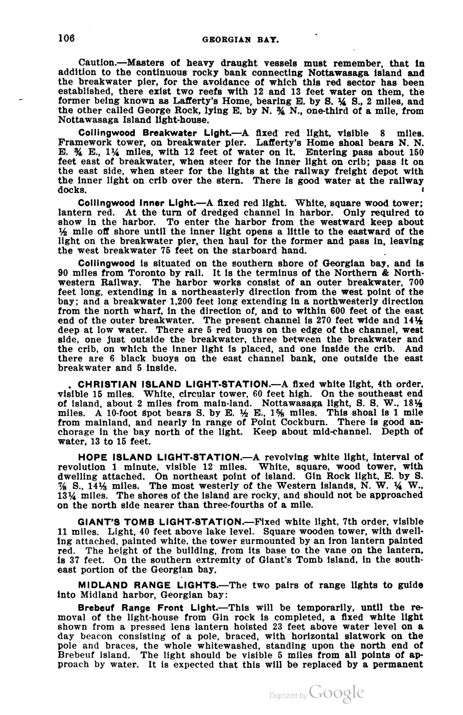
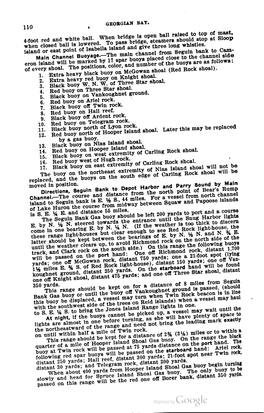
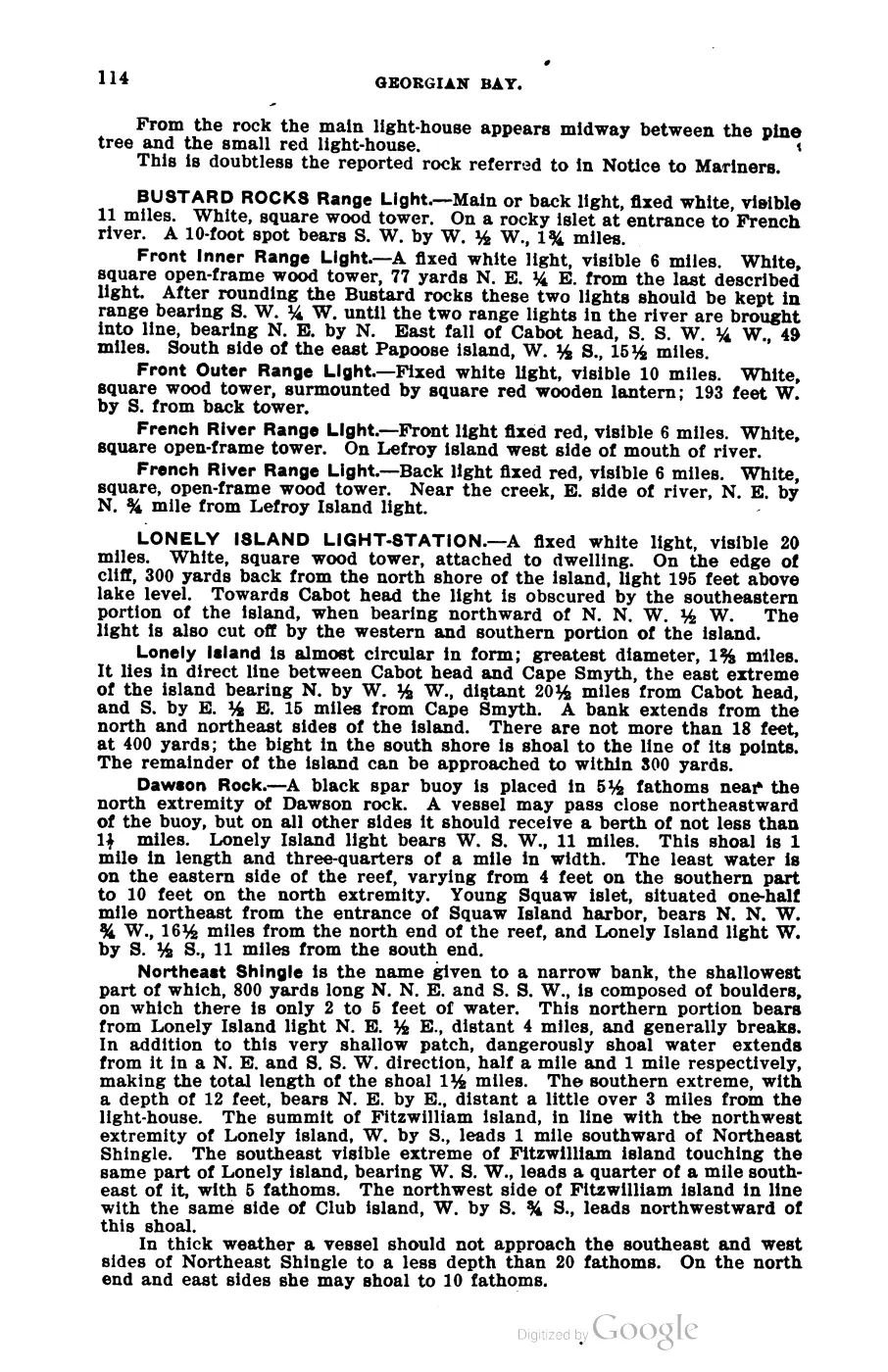
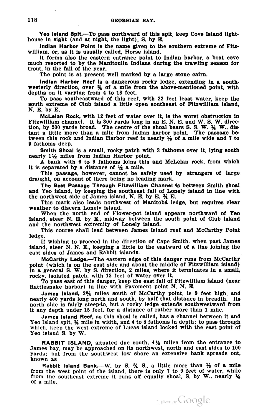
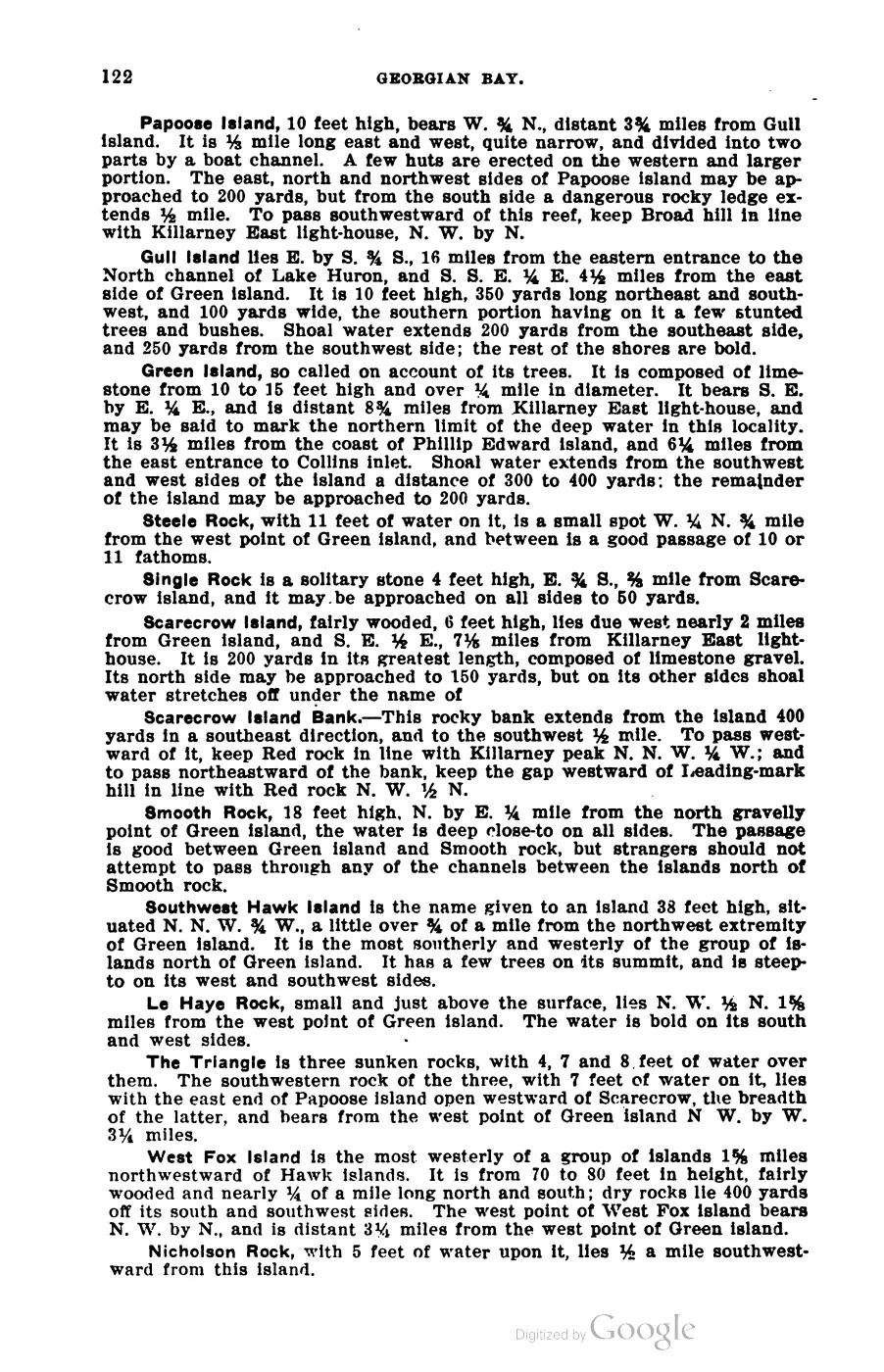
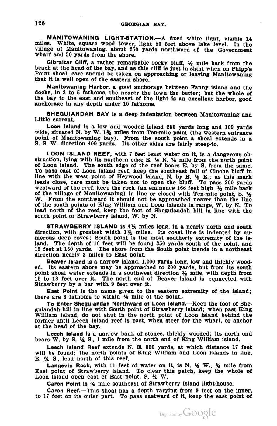
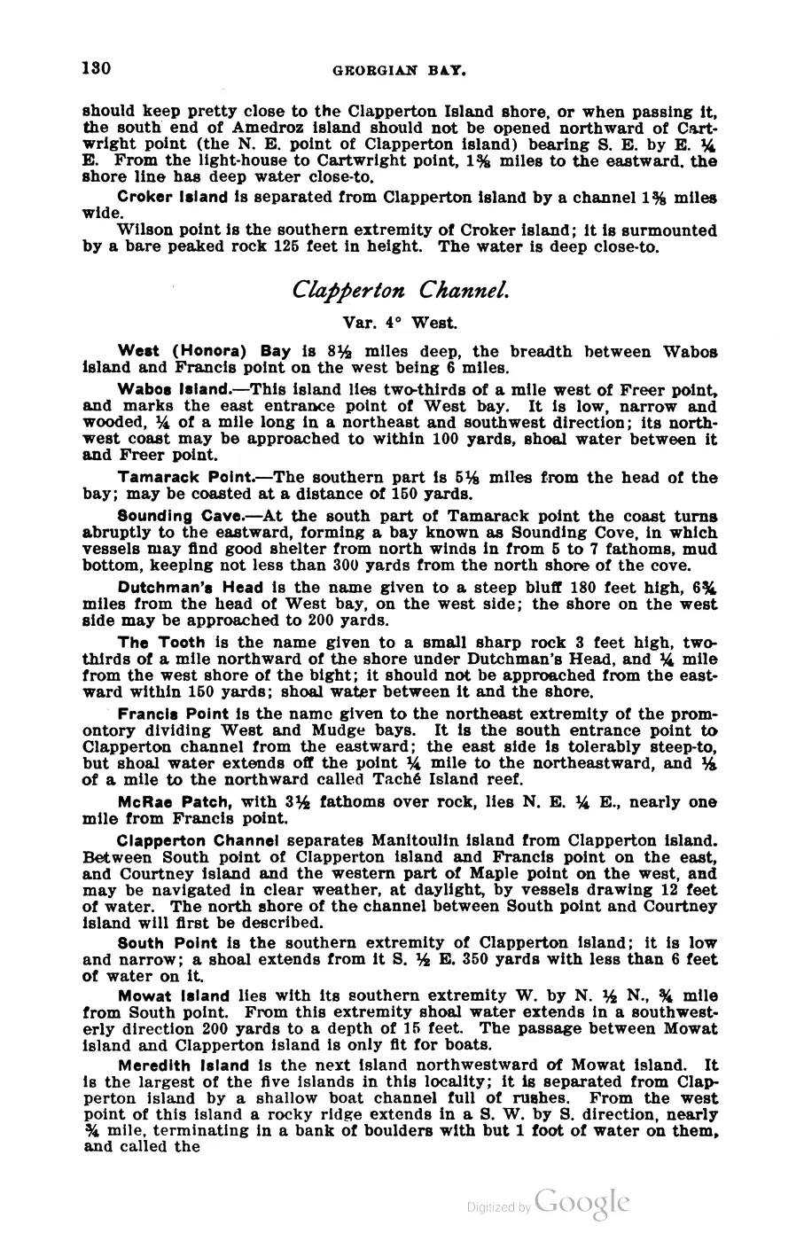
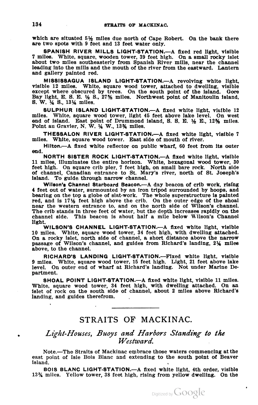
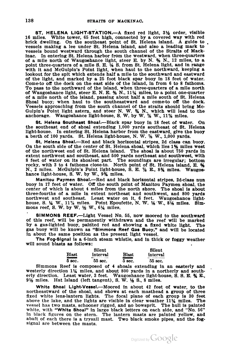
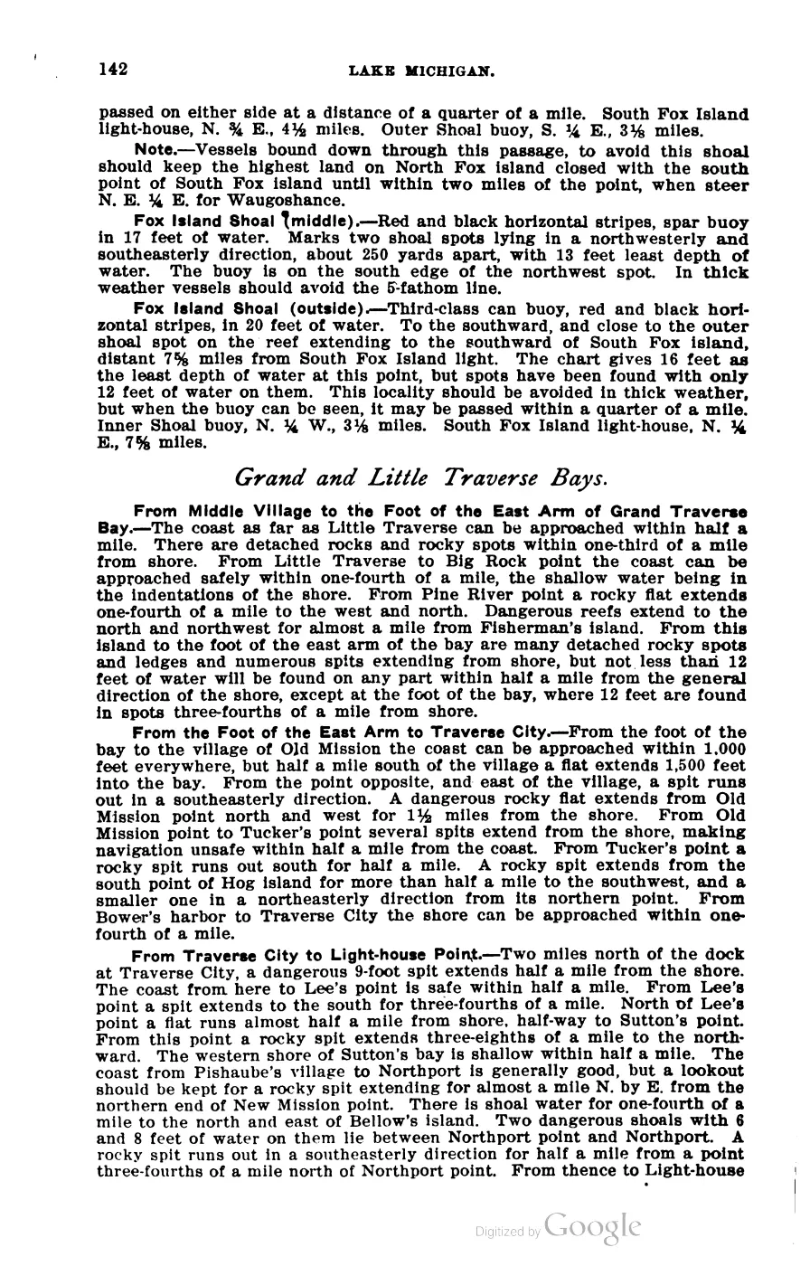
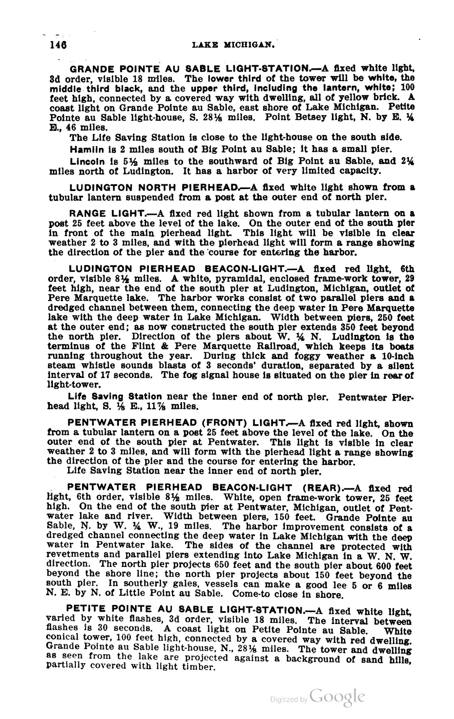
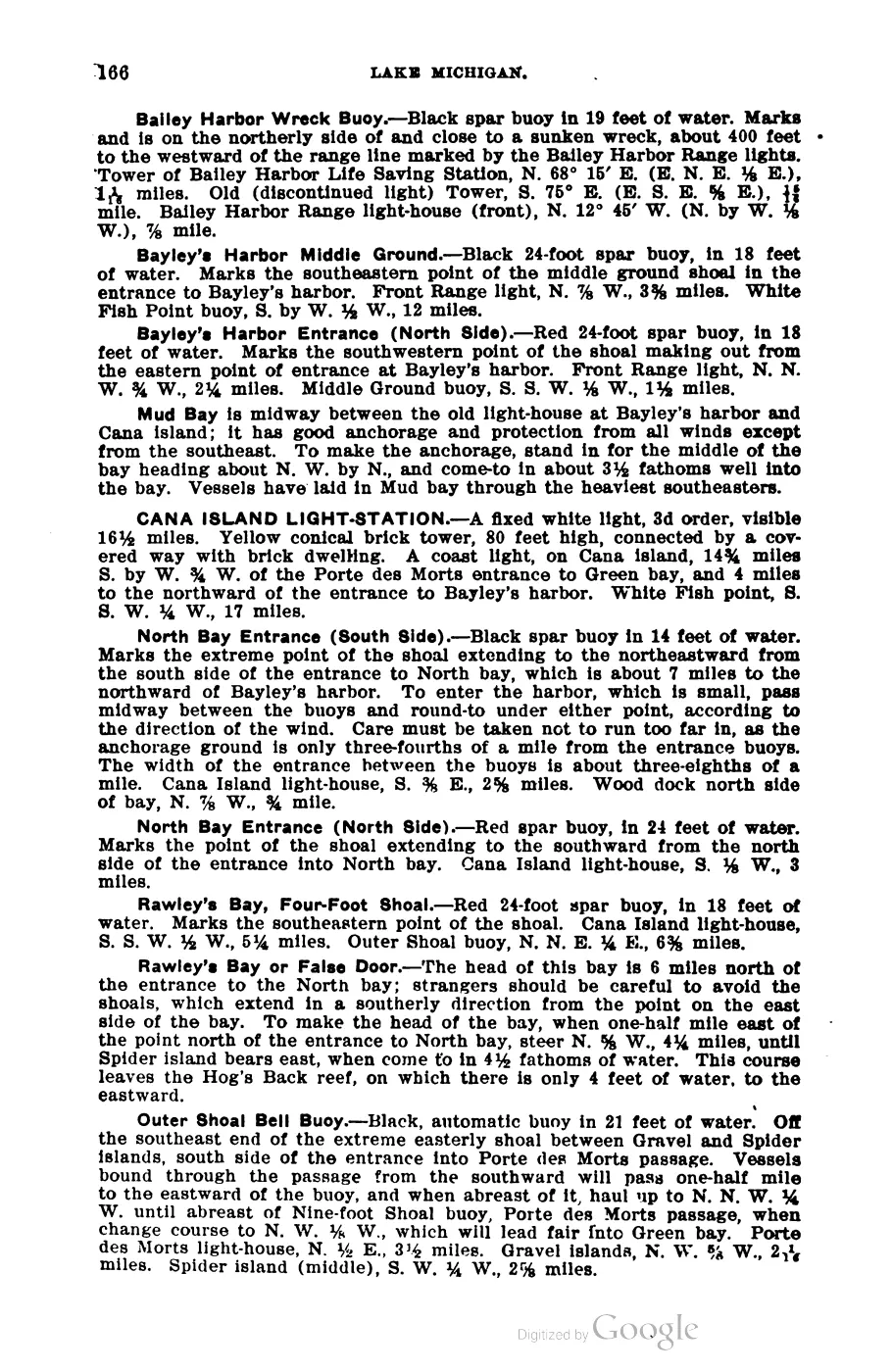
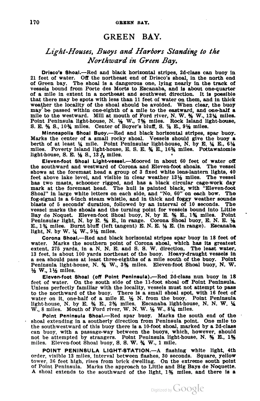
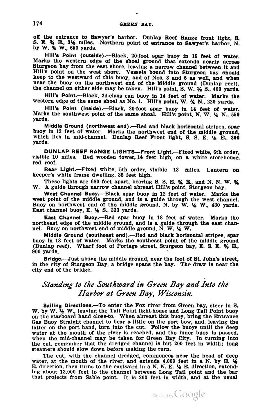
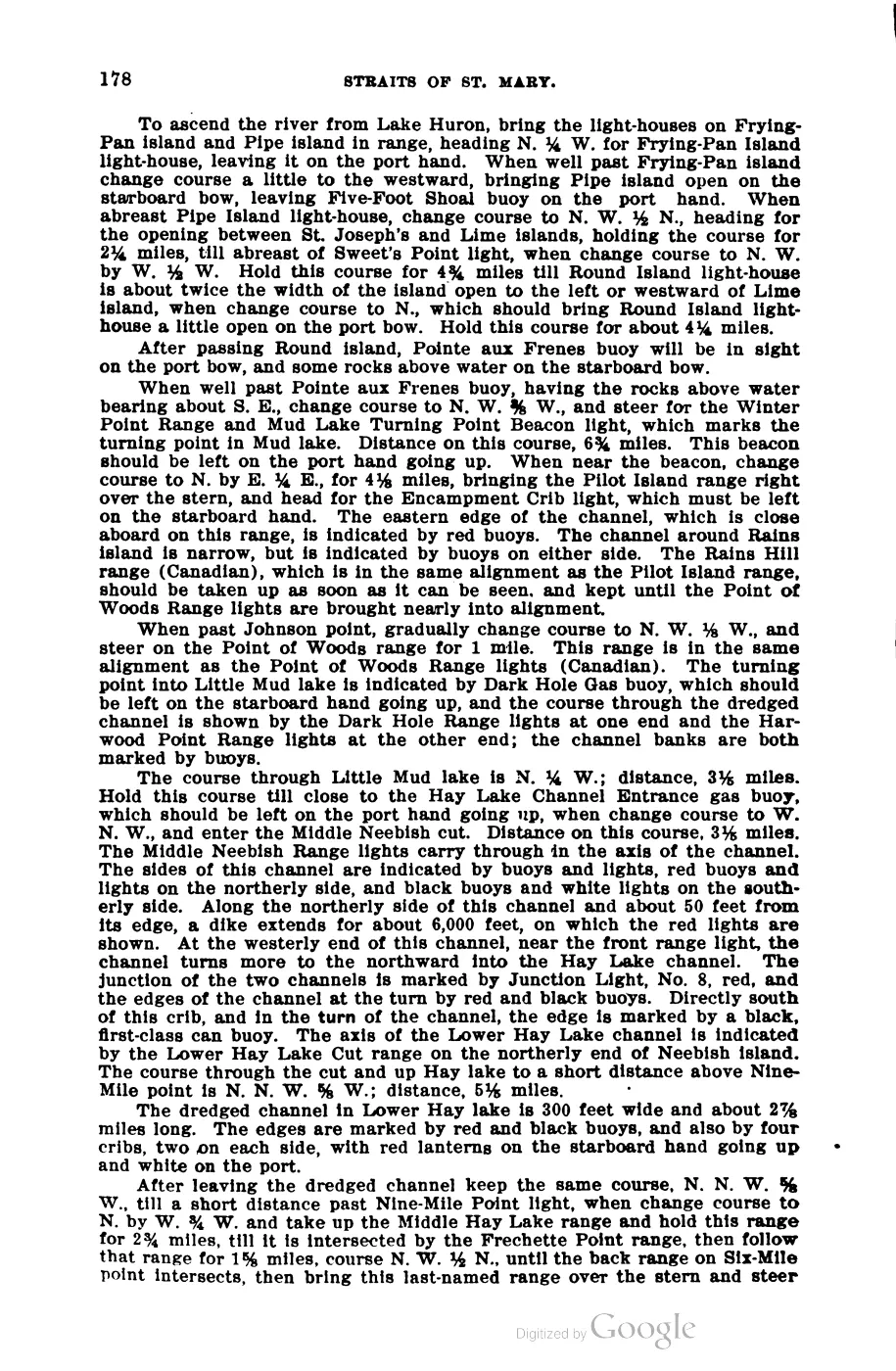
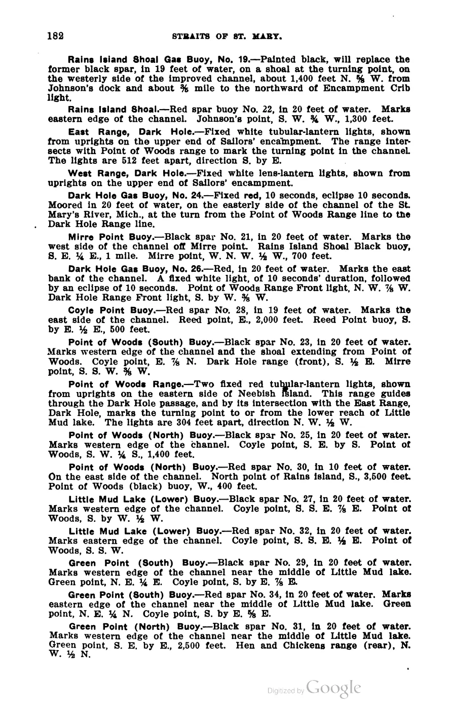
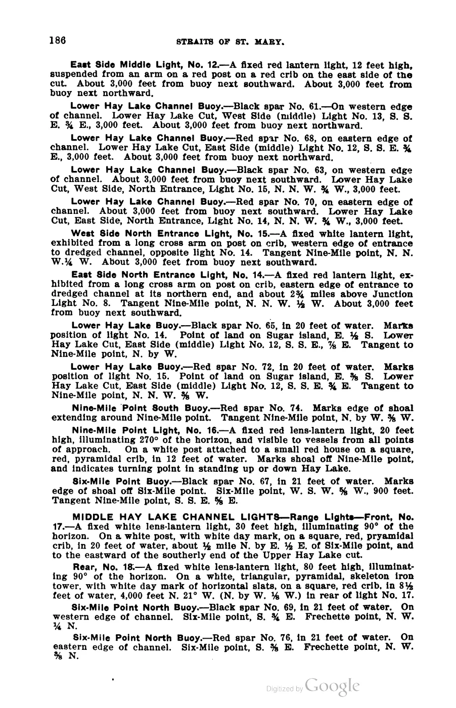
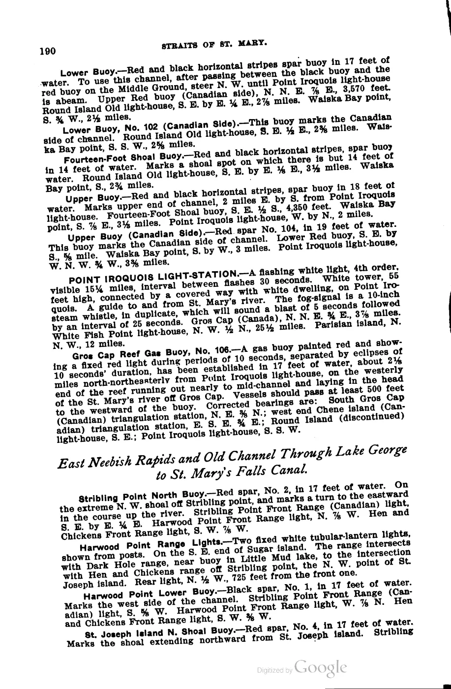
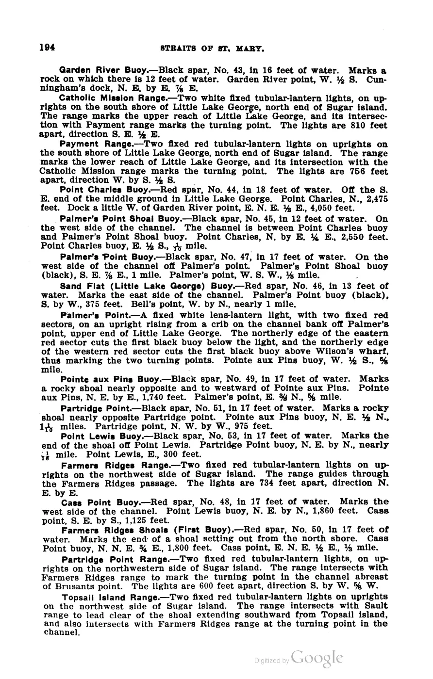
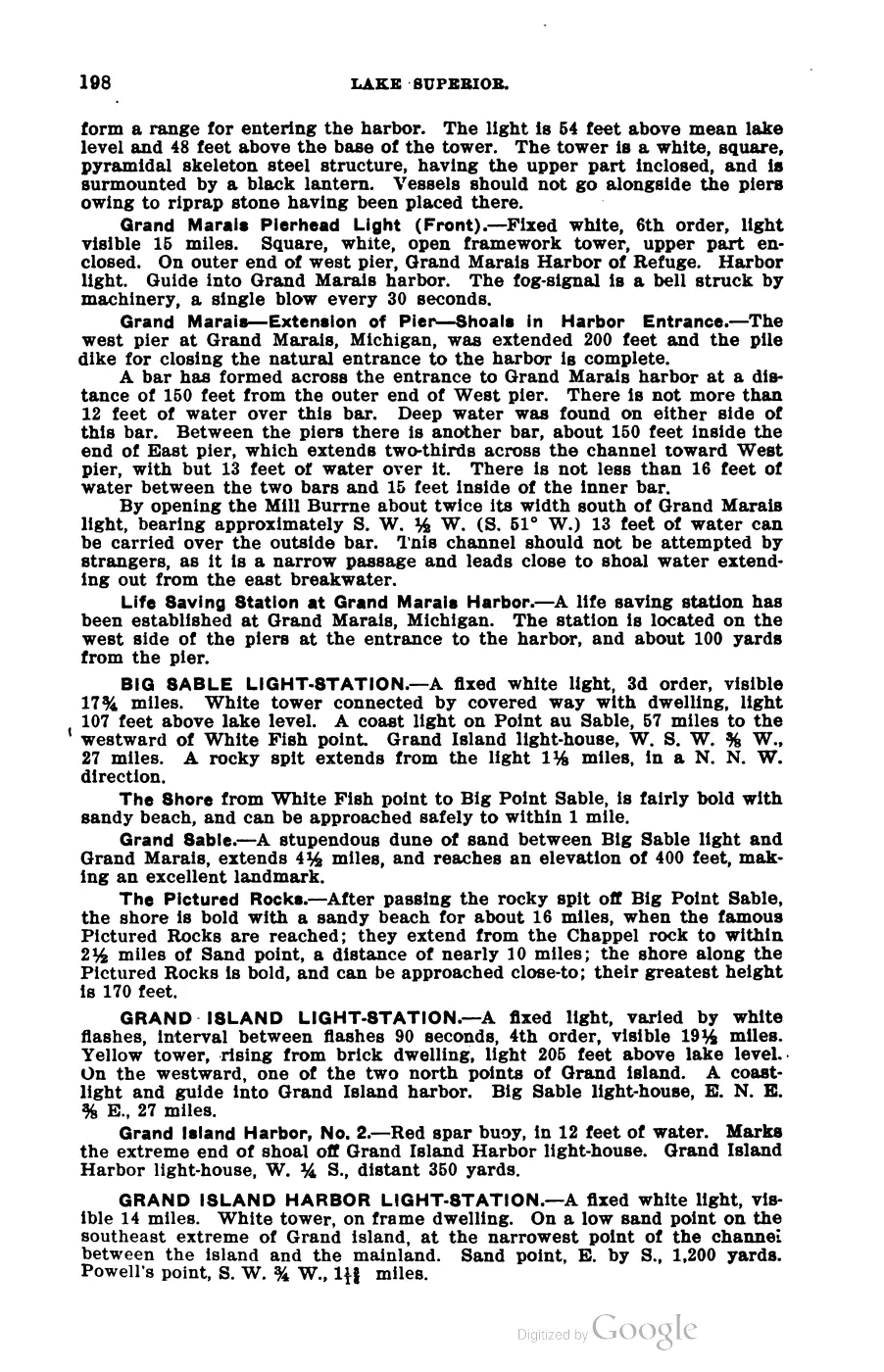
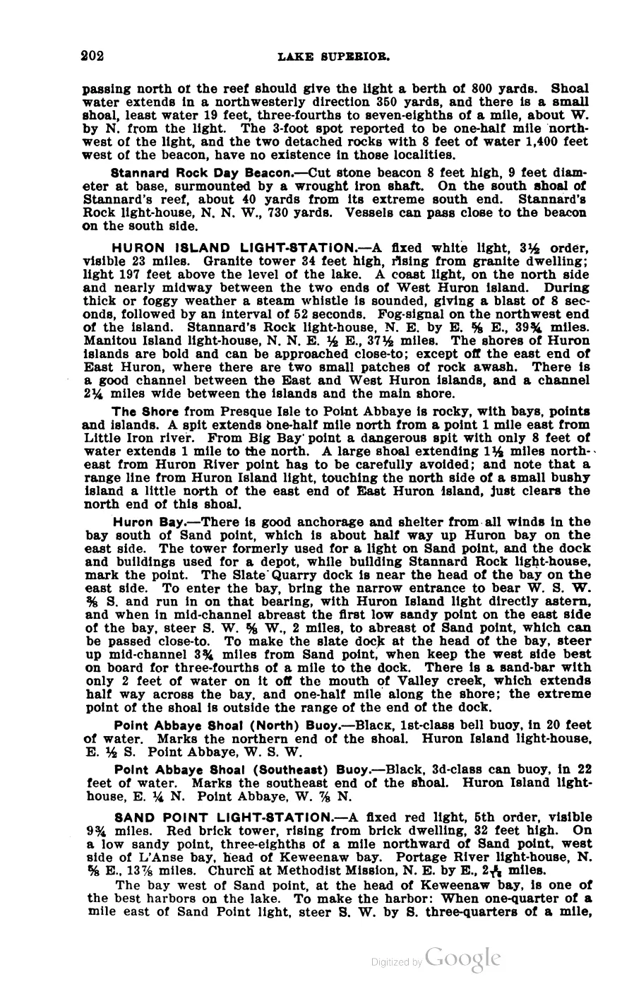
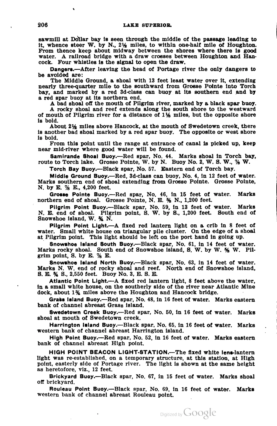
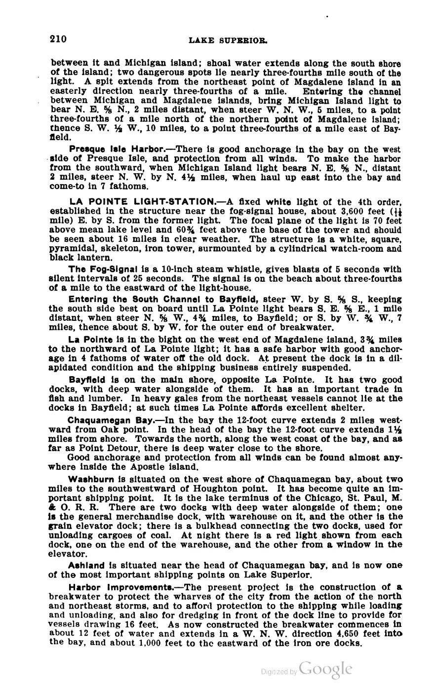
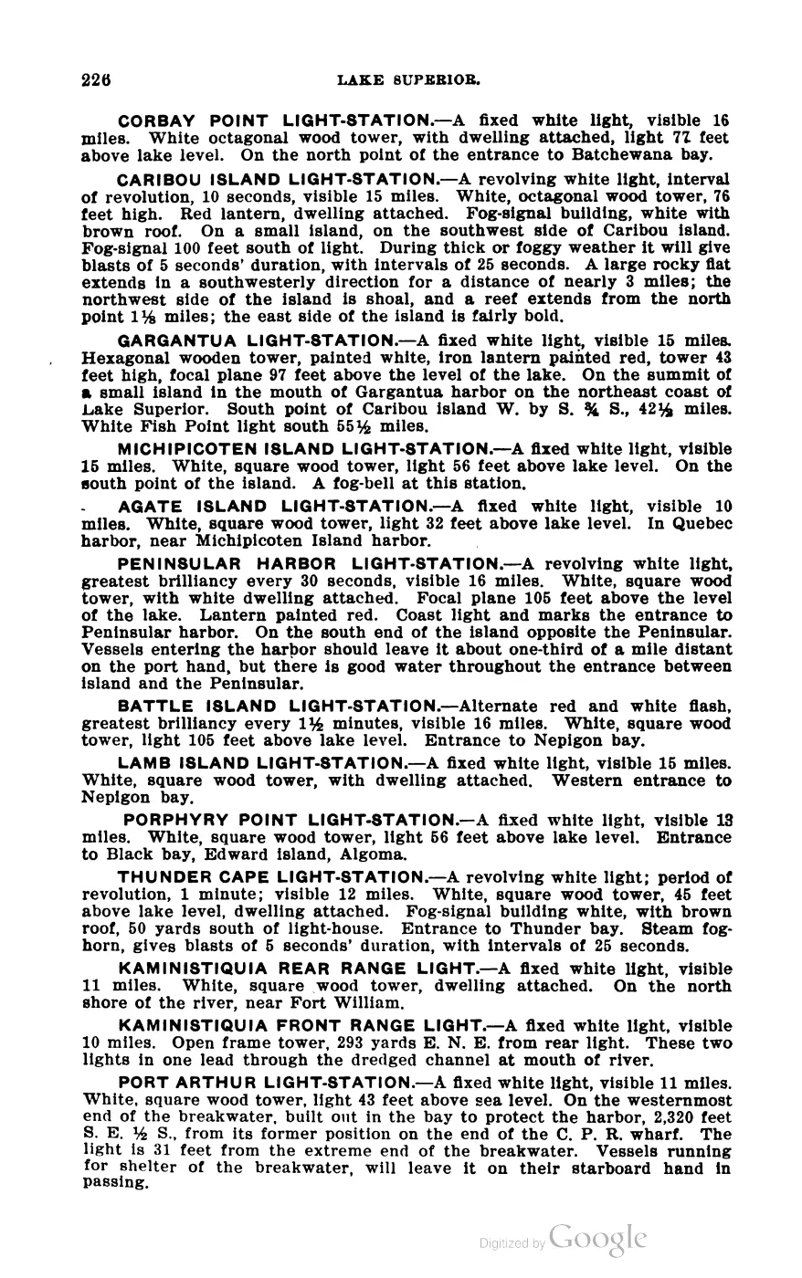
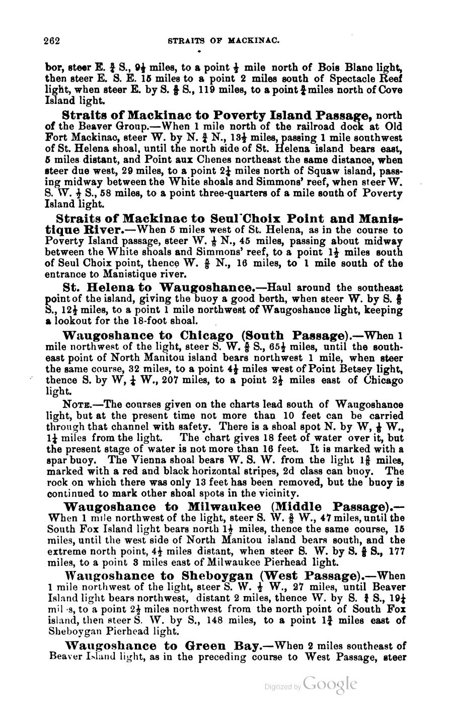
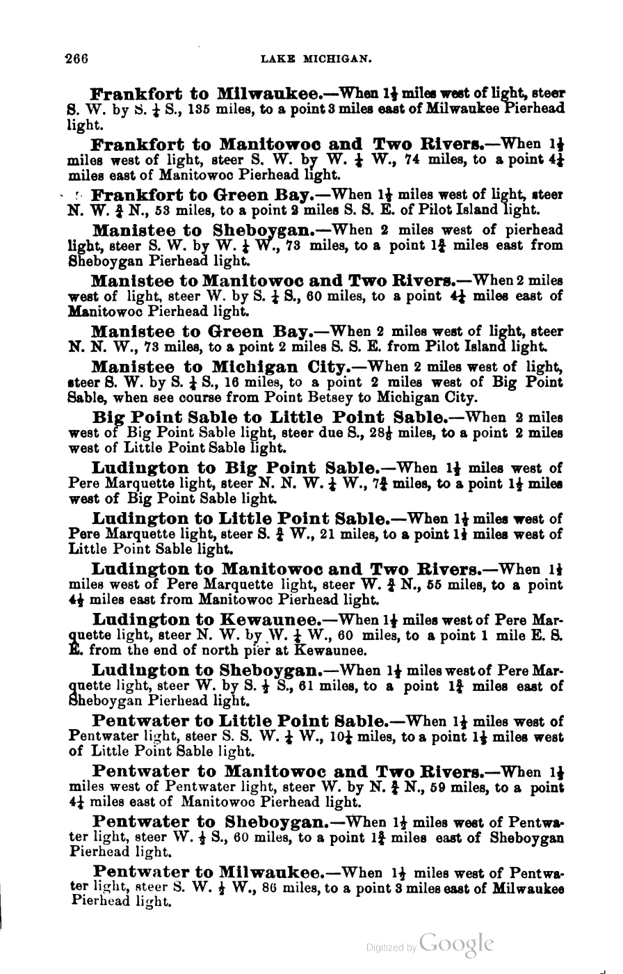
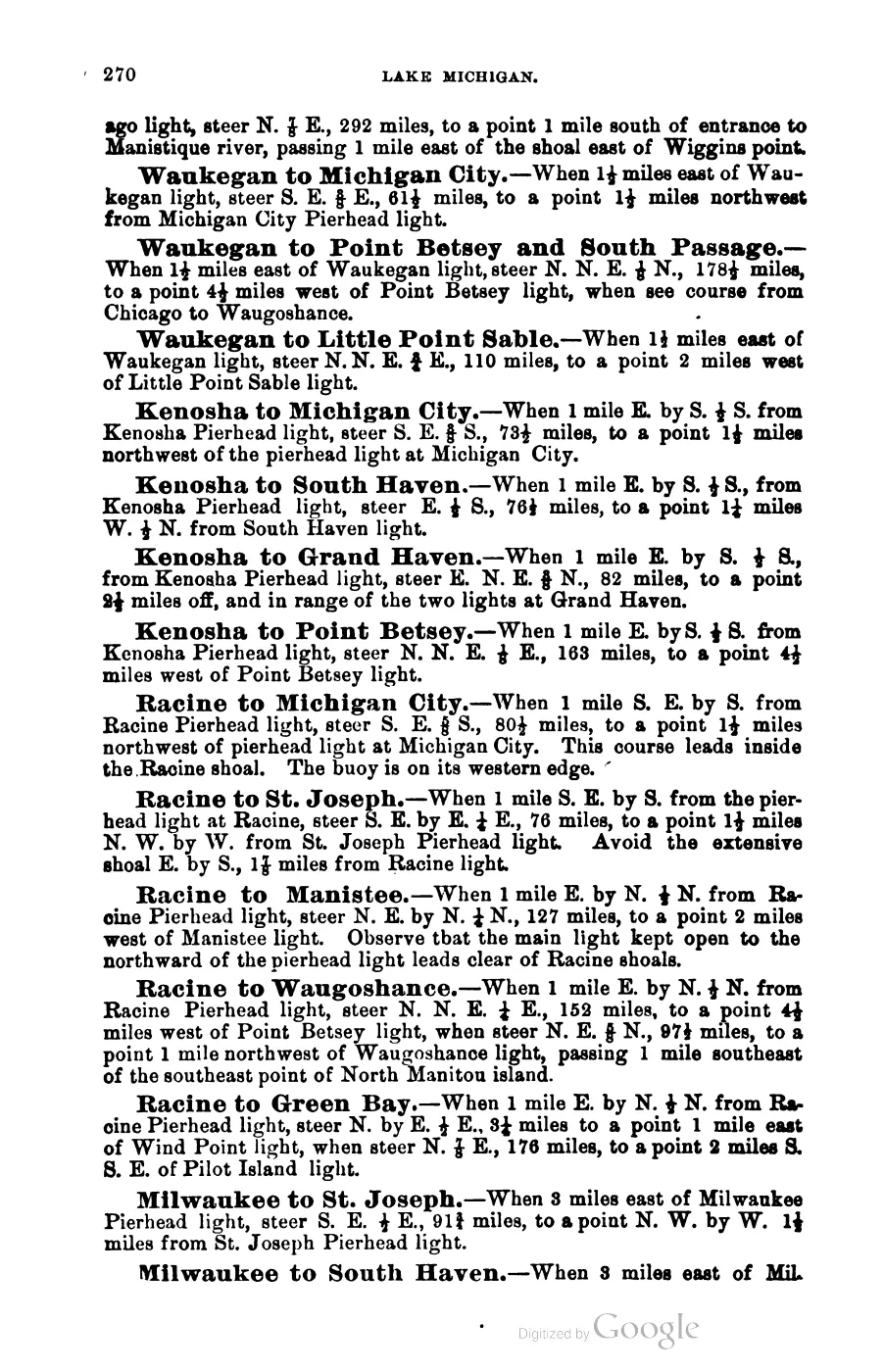
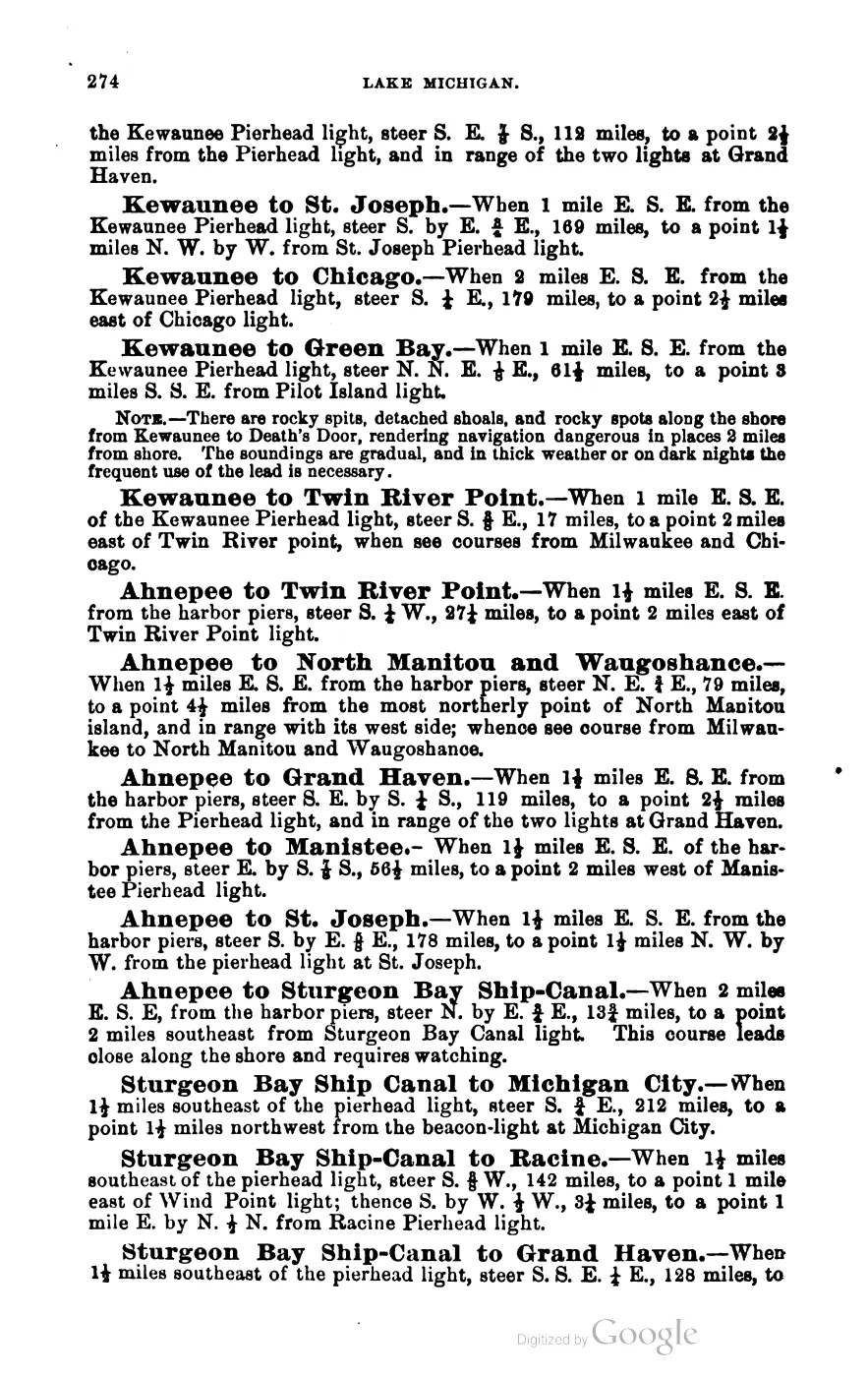
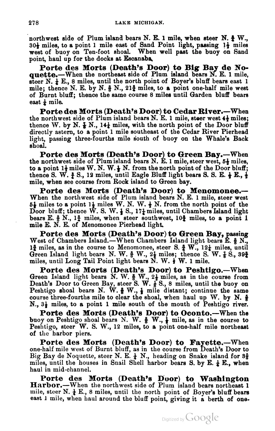
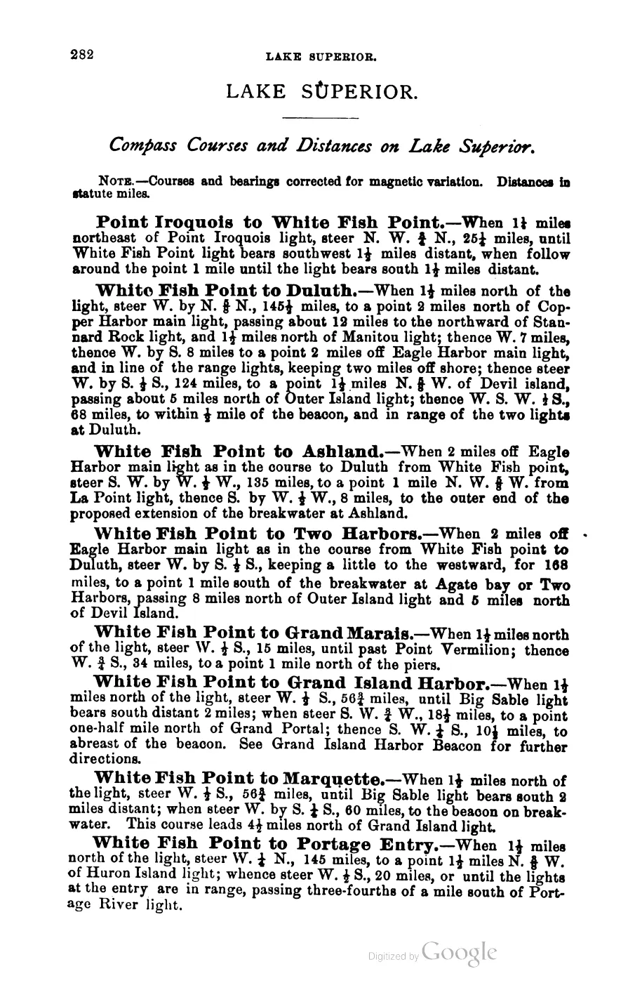
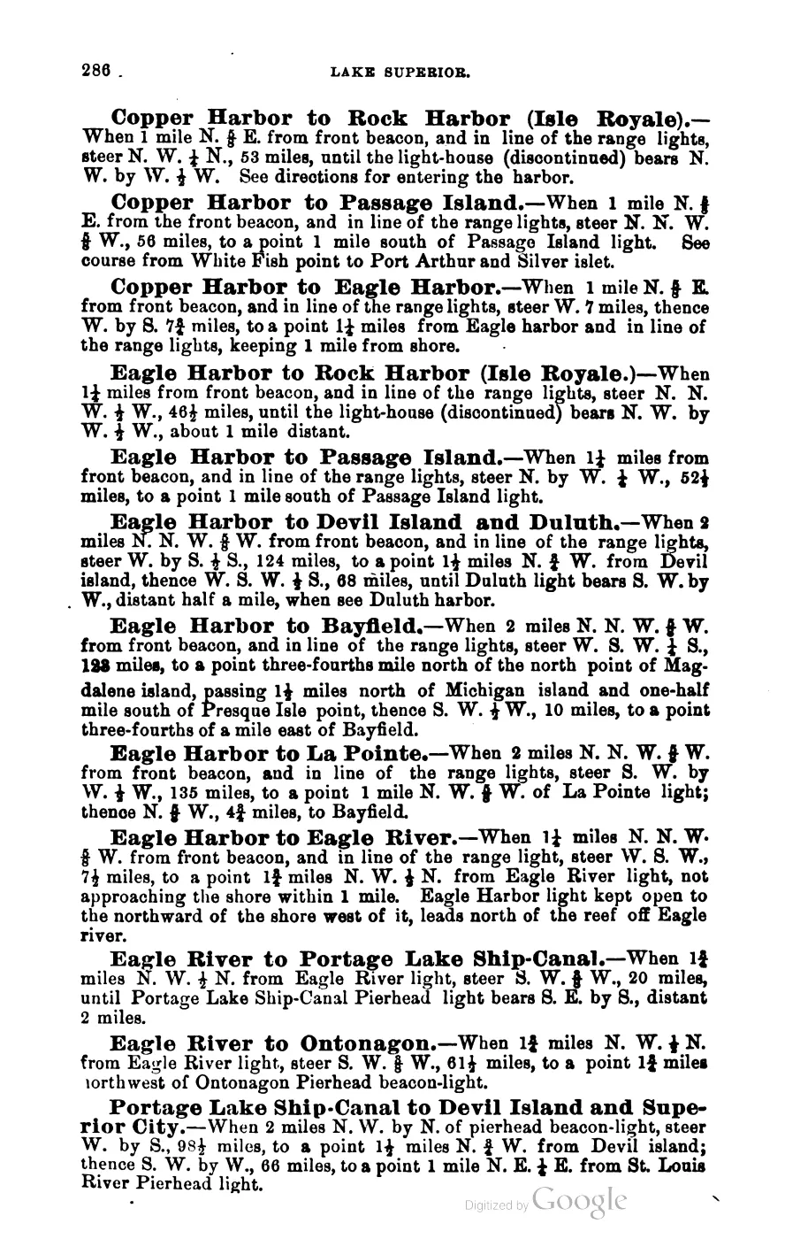
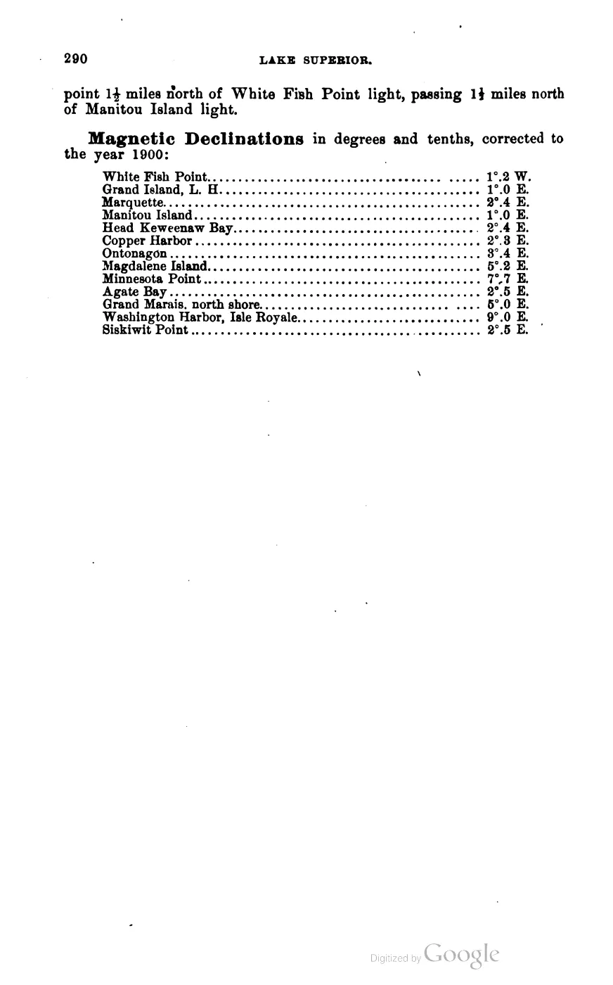
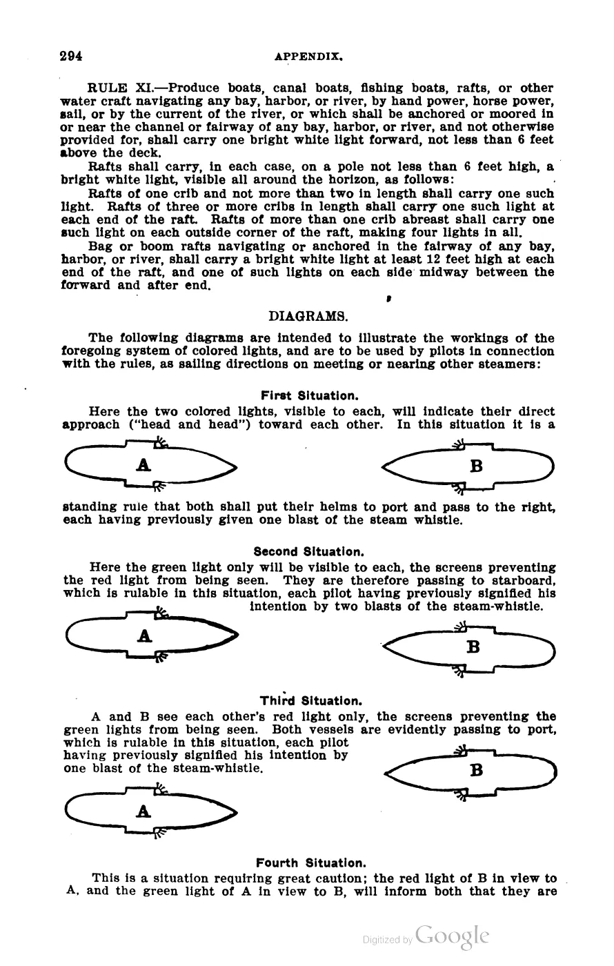
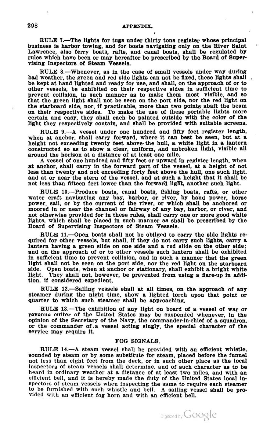
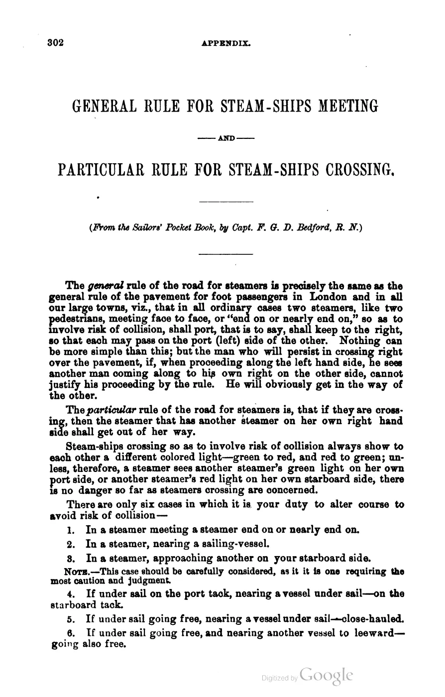
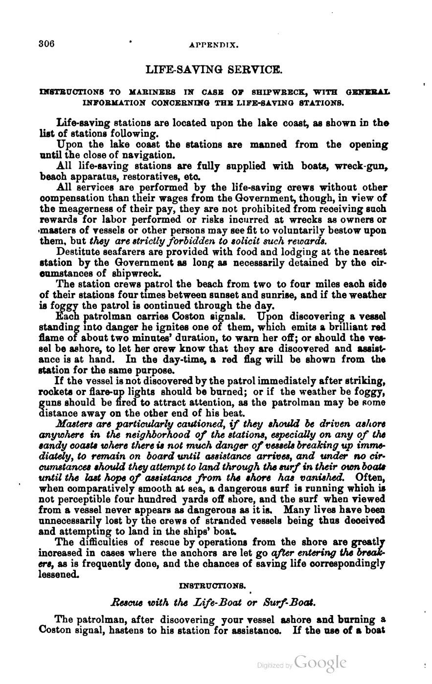
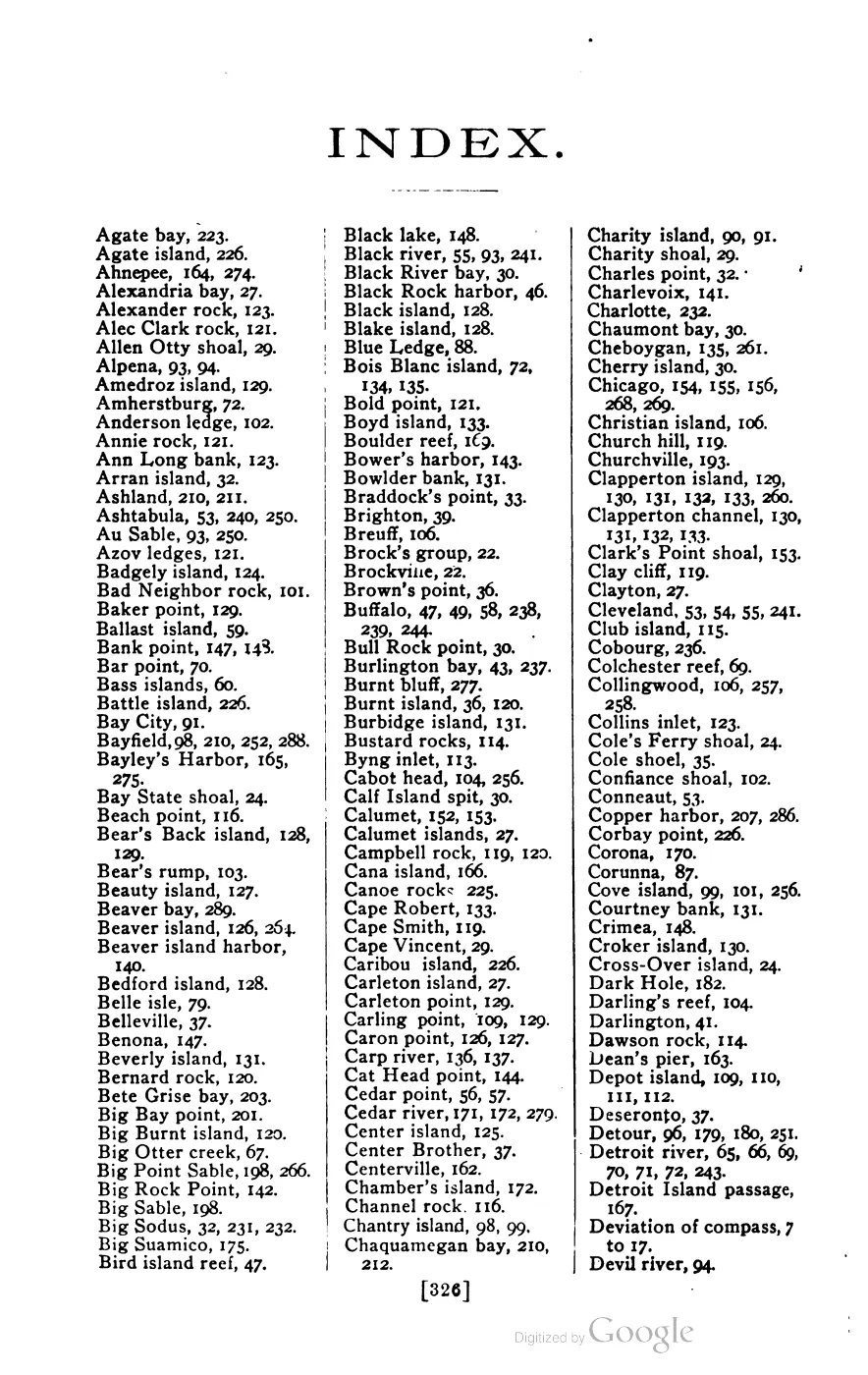
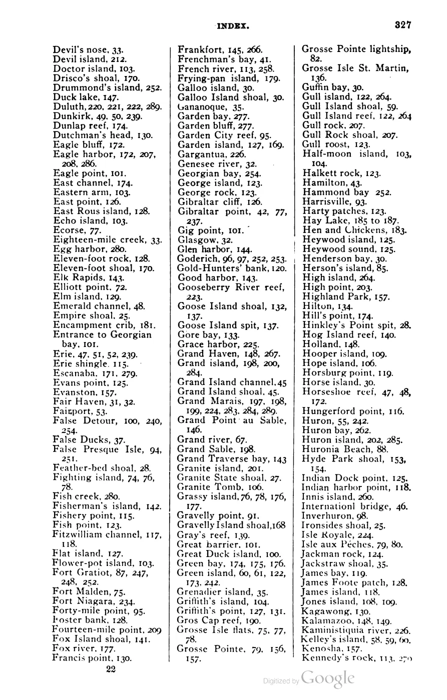
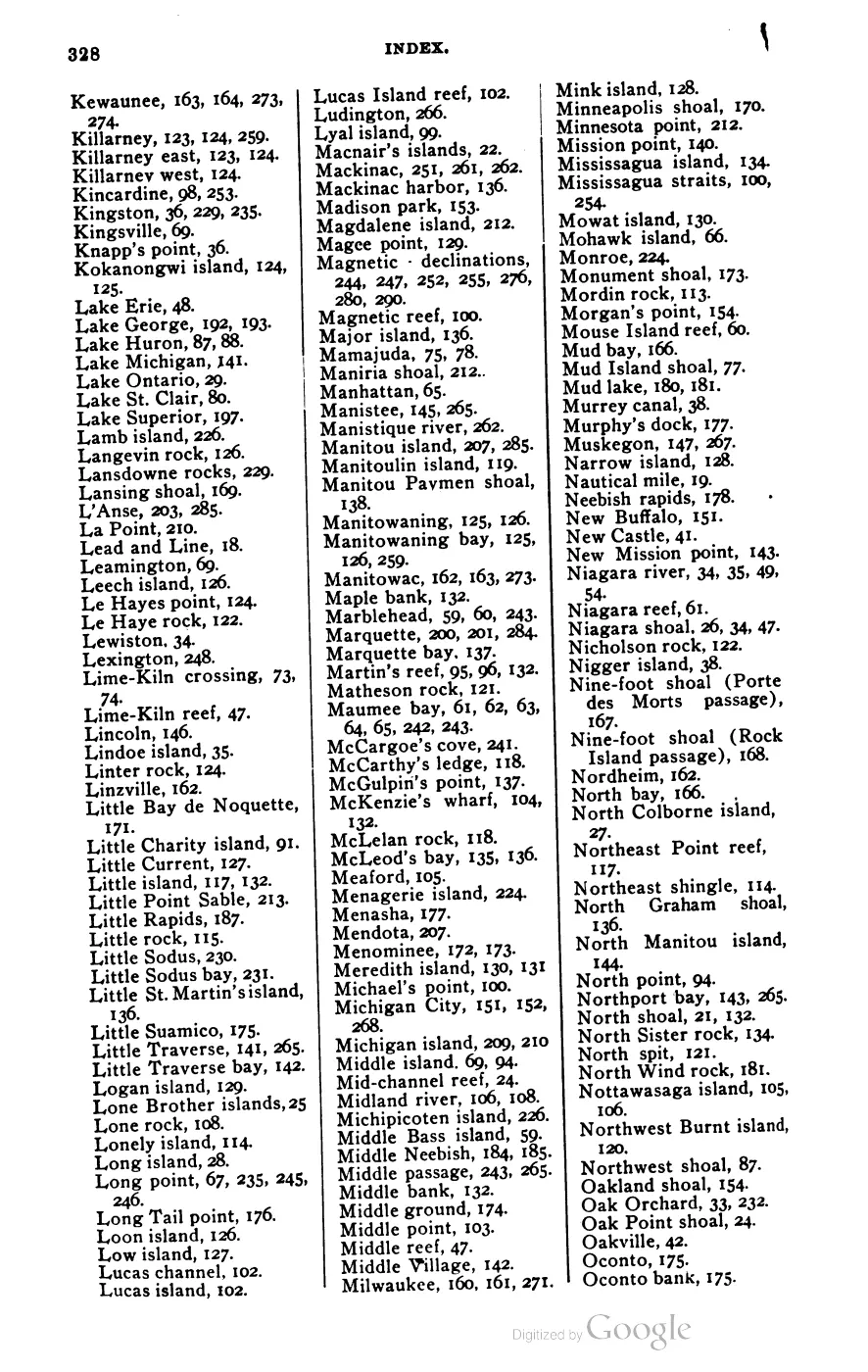
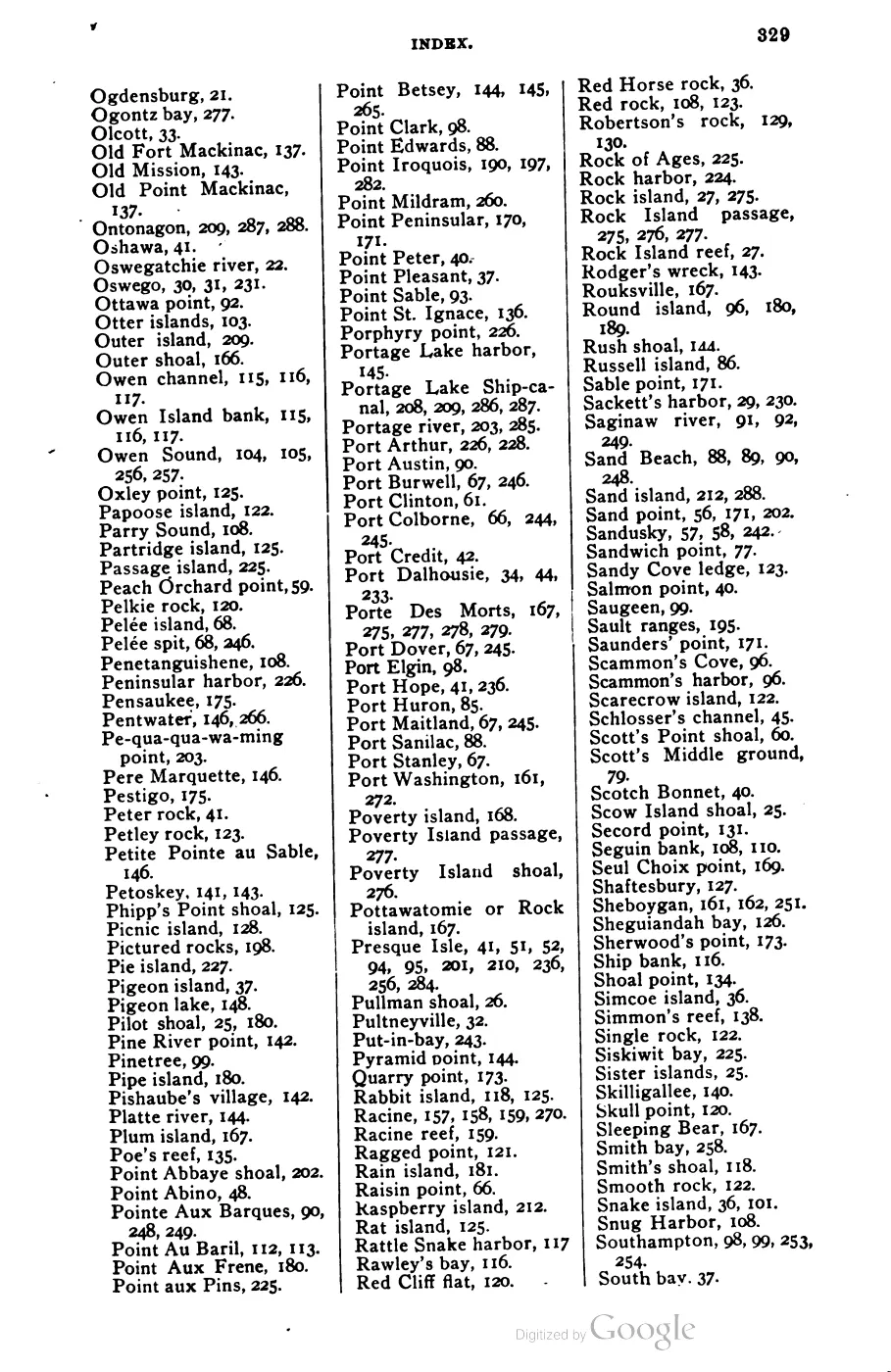

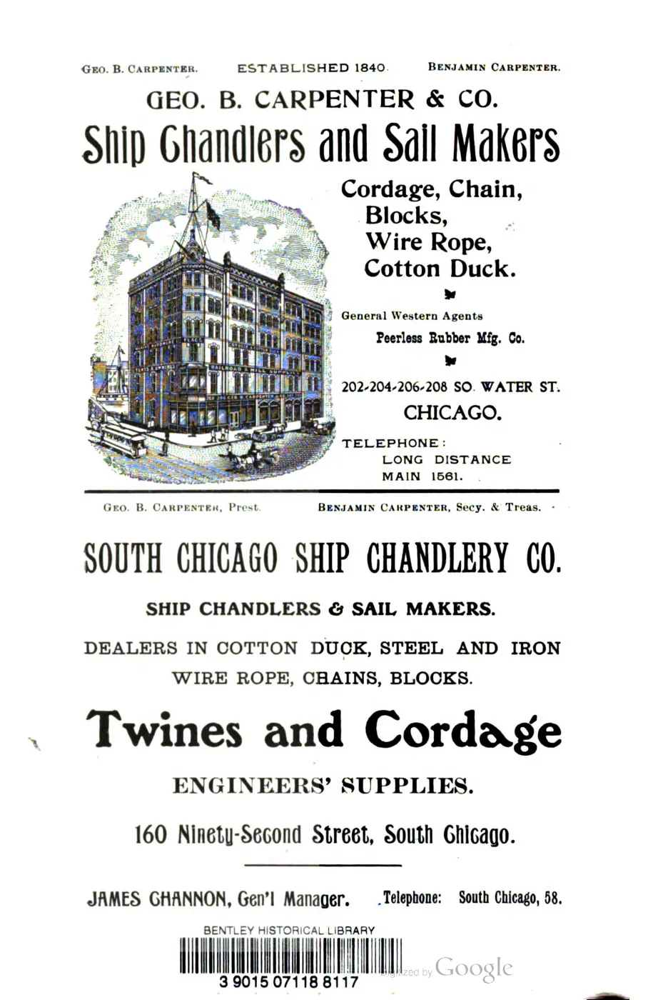

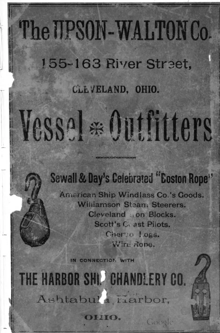

135 of 393 pages linked here — every page to 32, then every 4th, then the last 16. With JavaScript, every page.
Sources
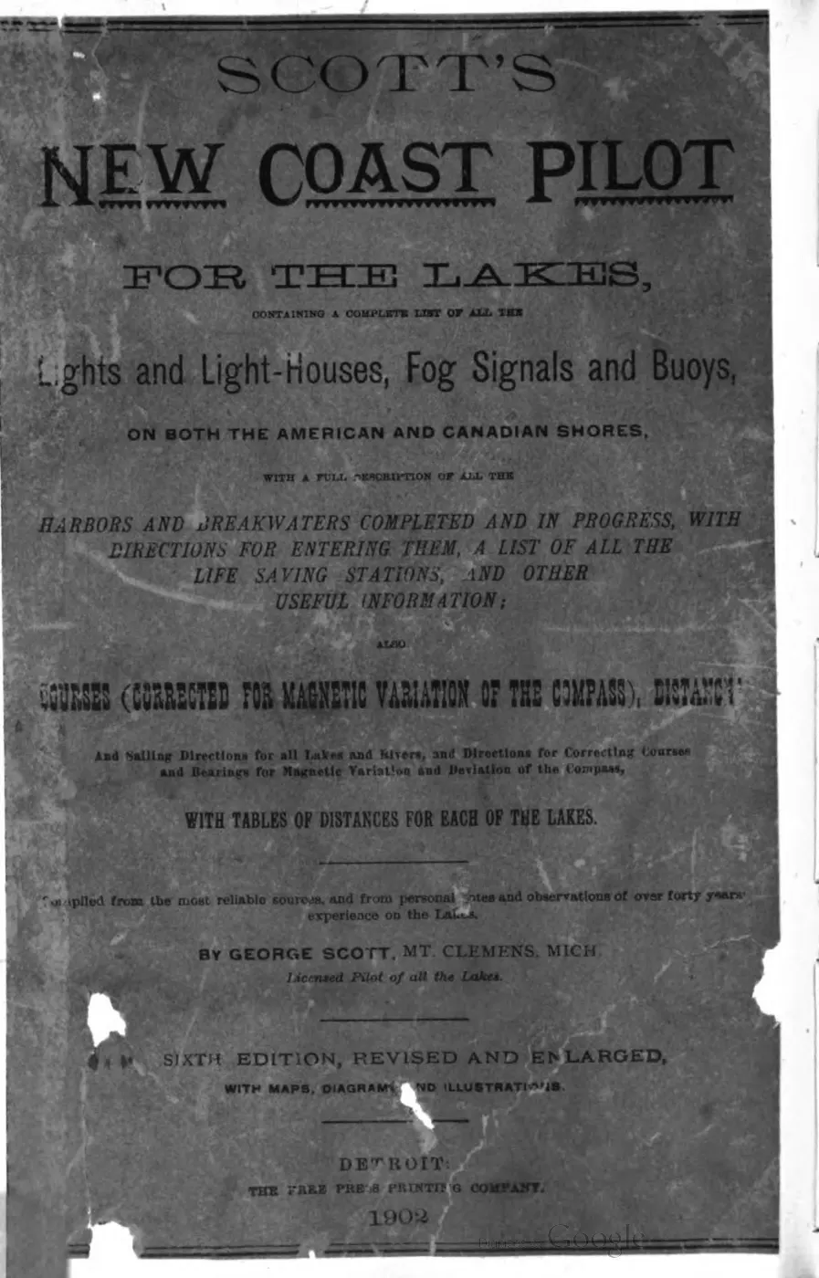
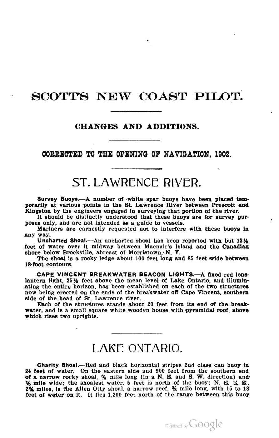
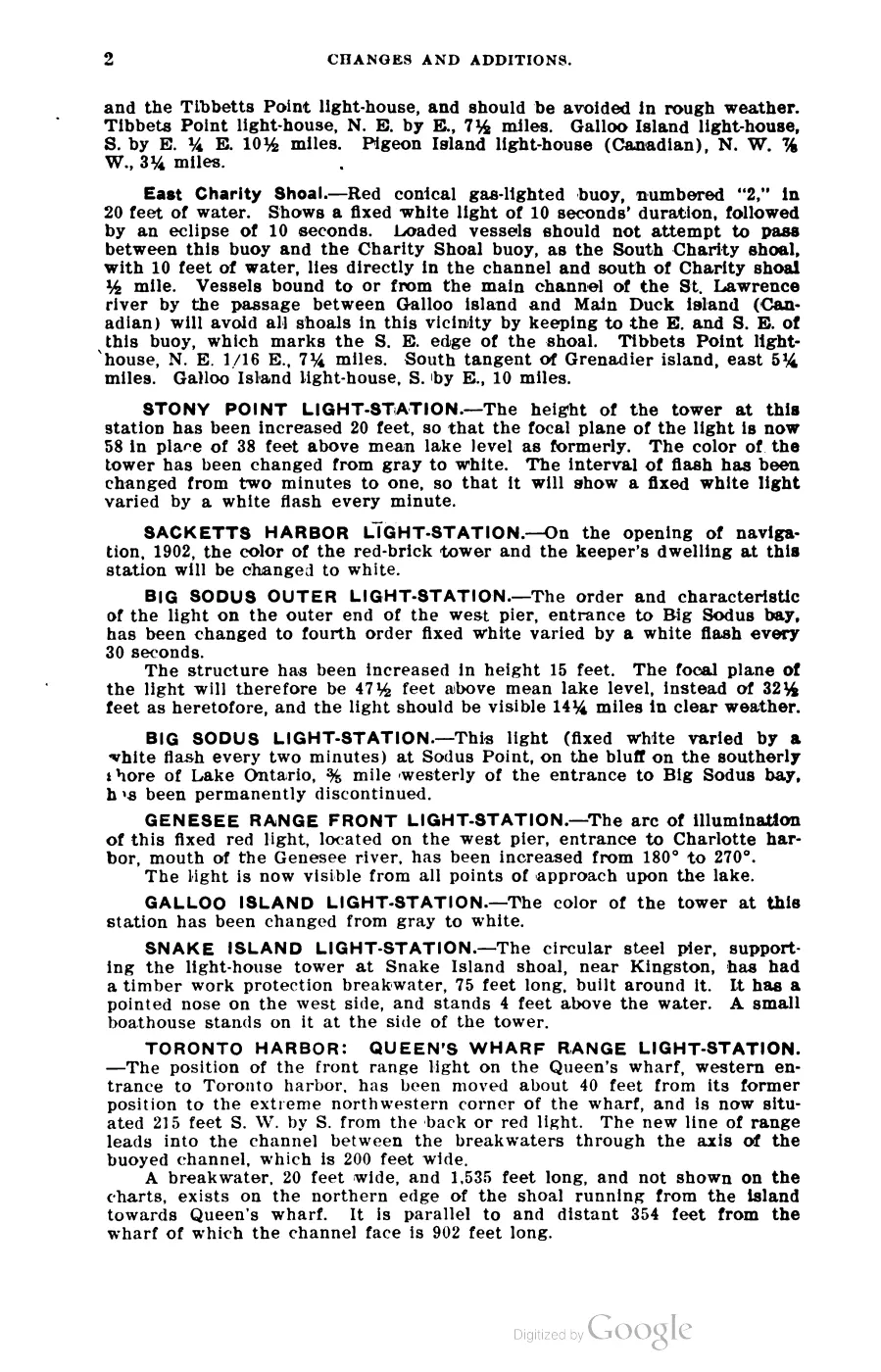
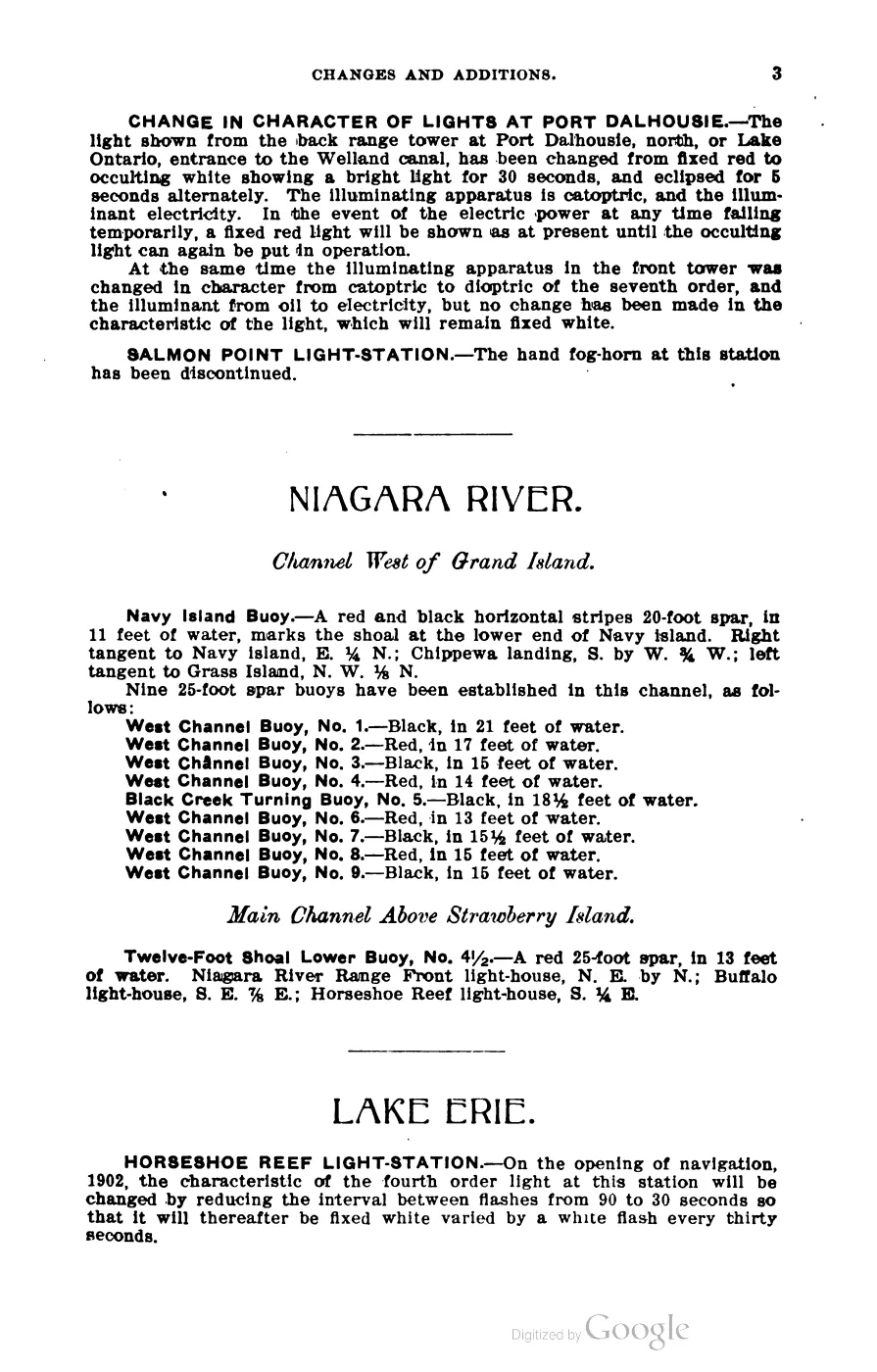
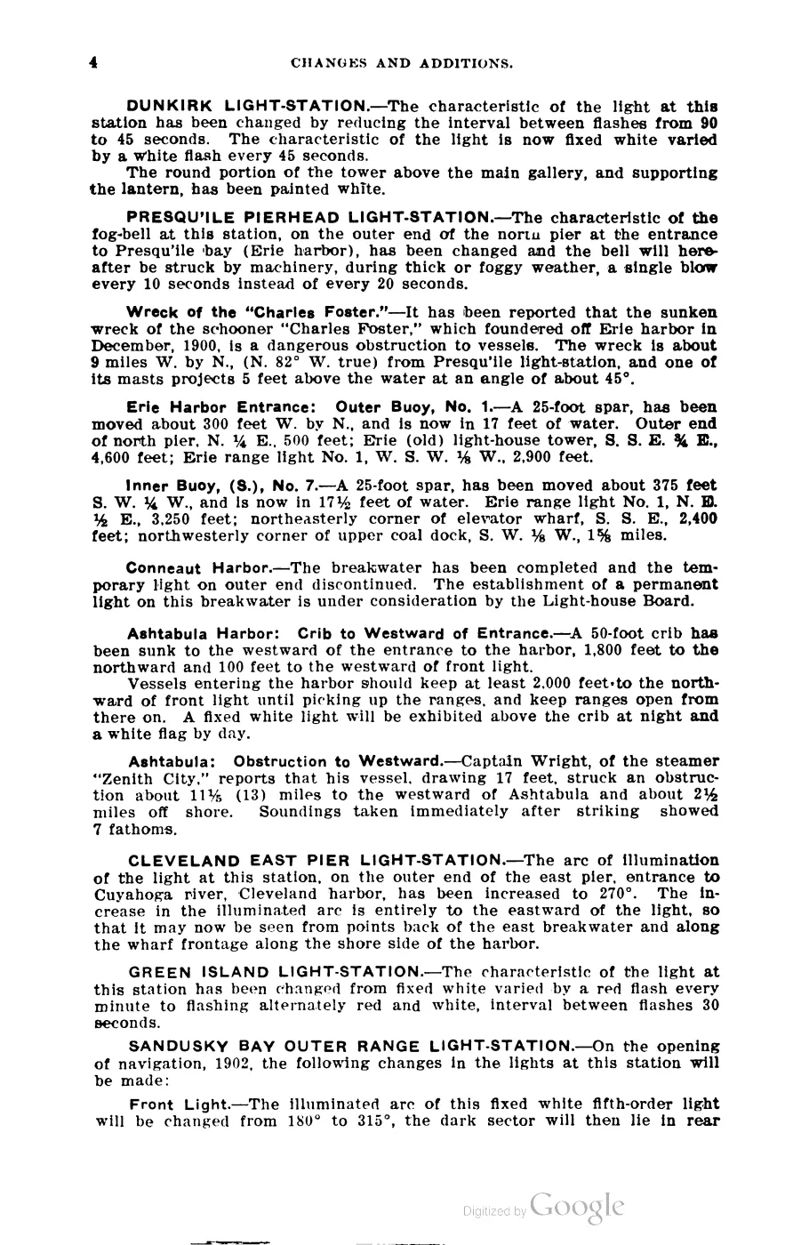
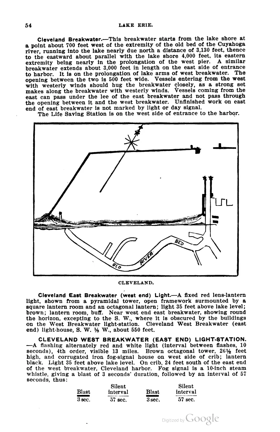
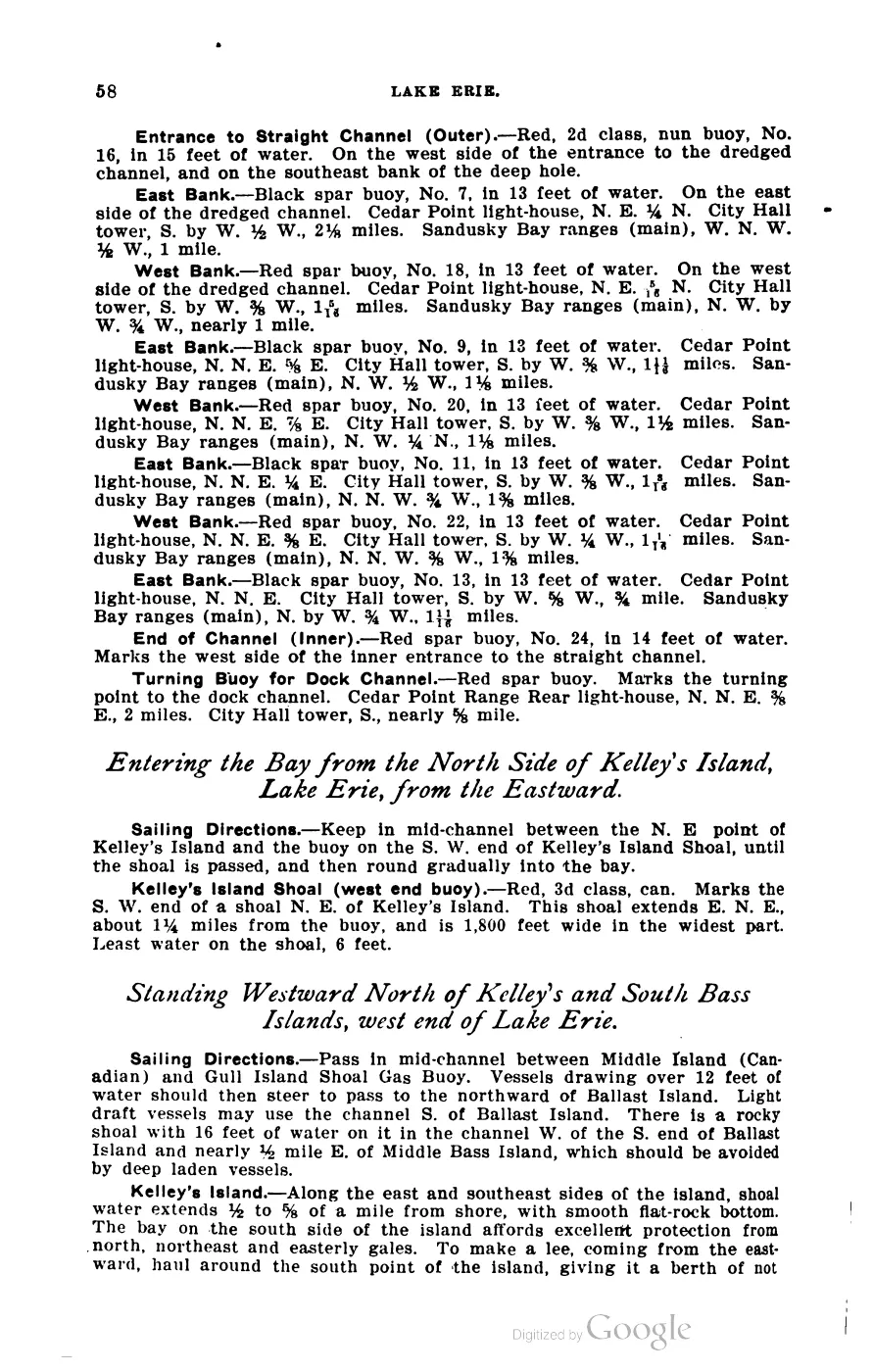
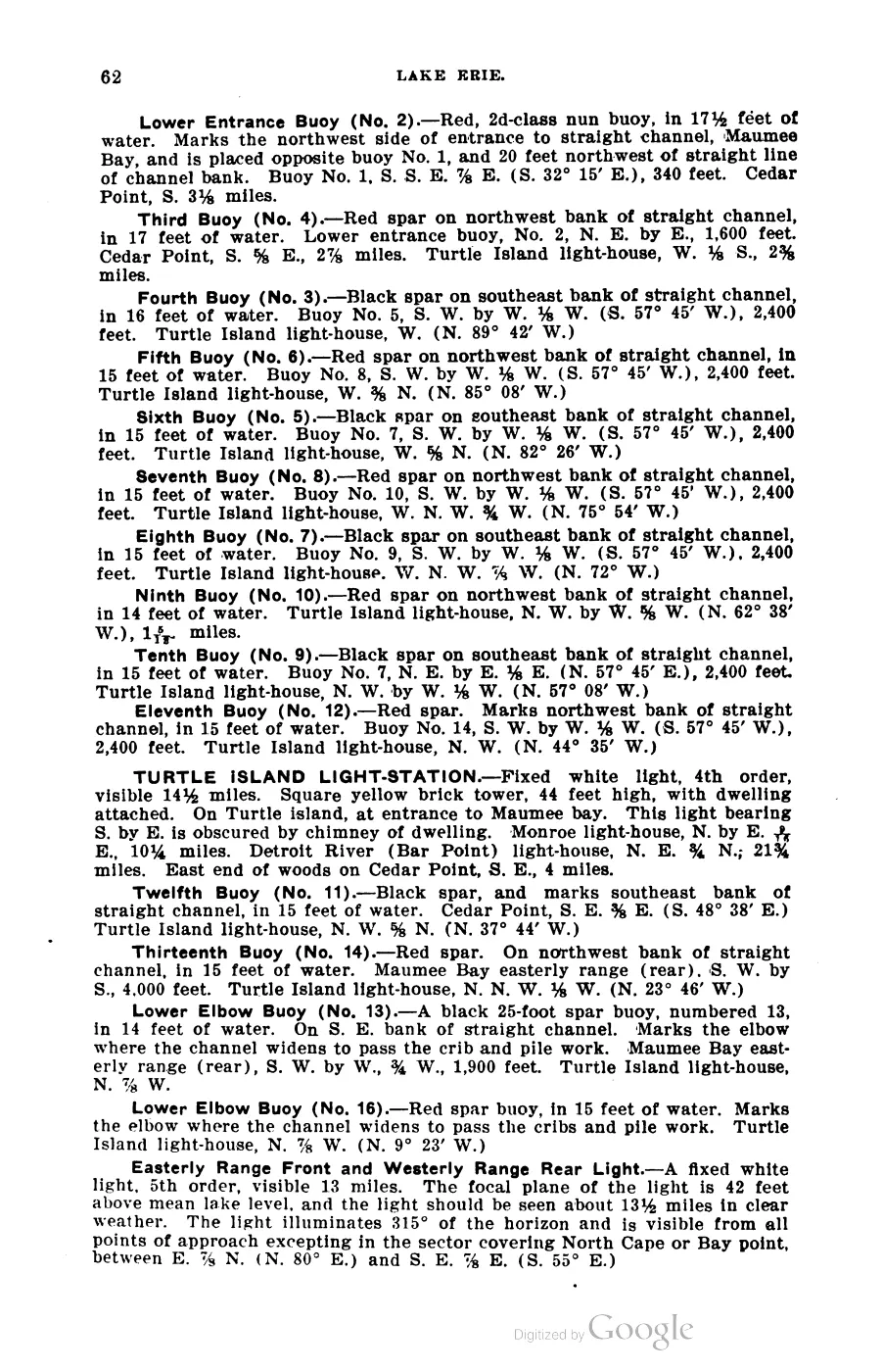
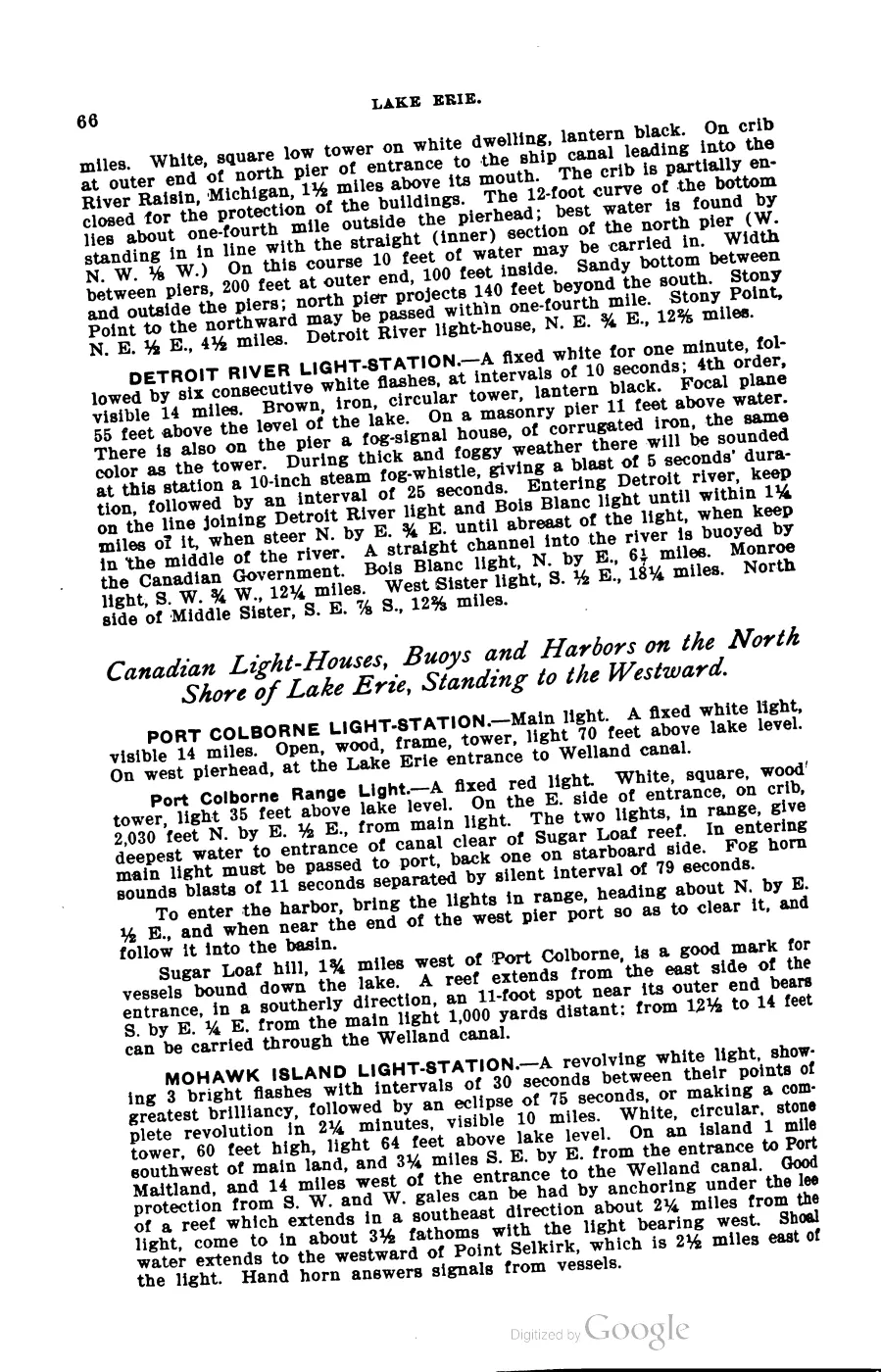
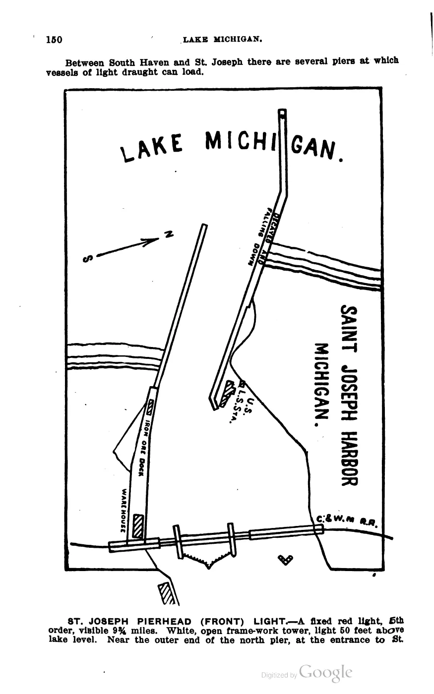
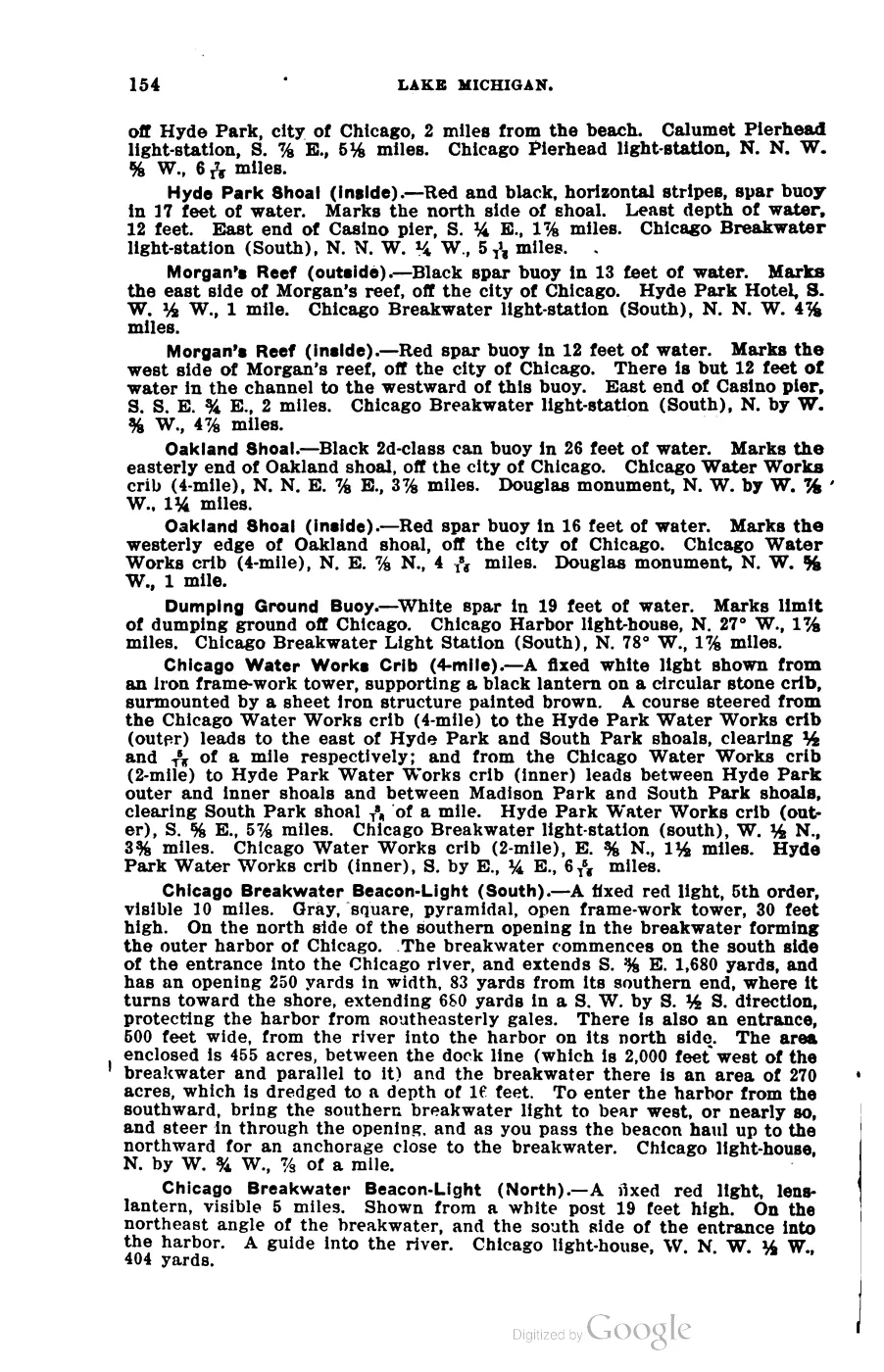
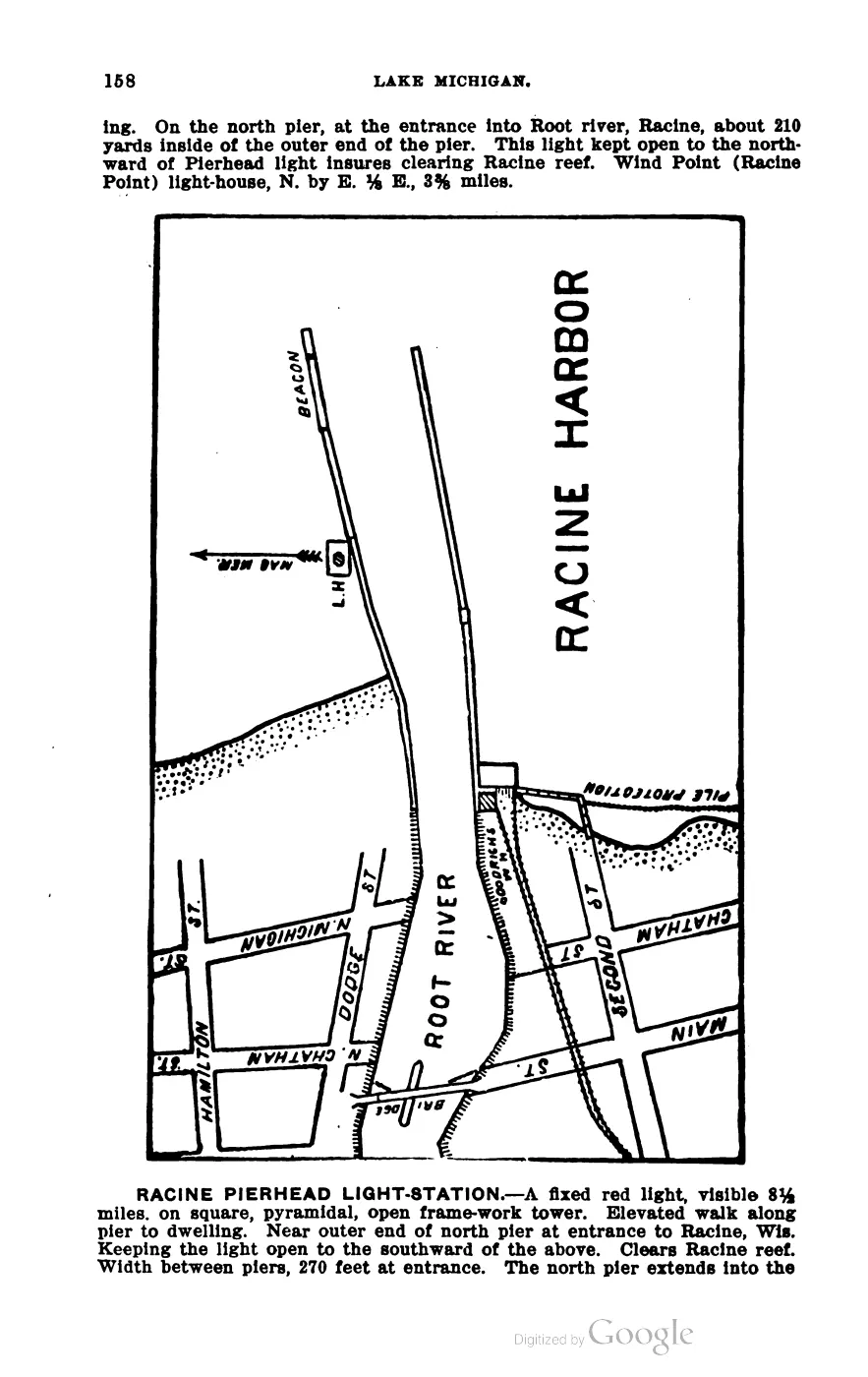
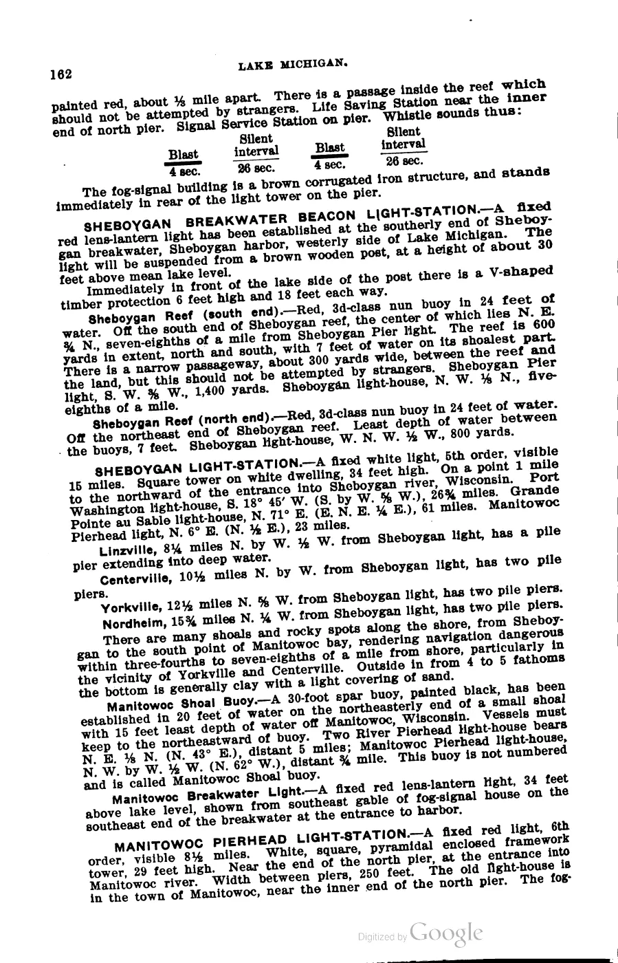
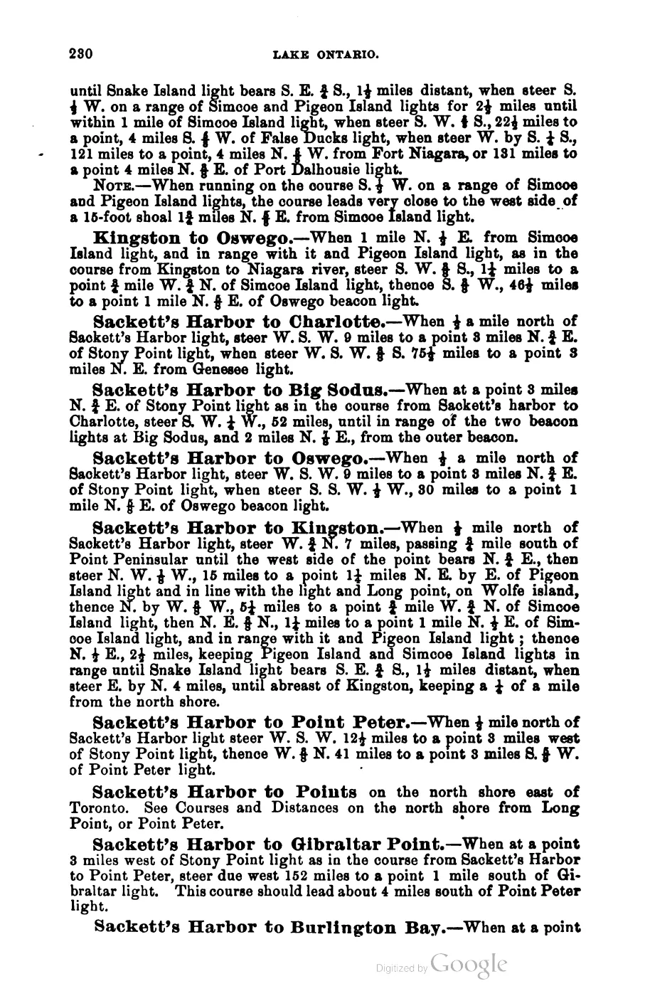
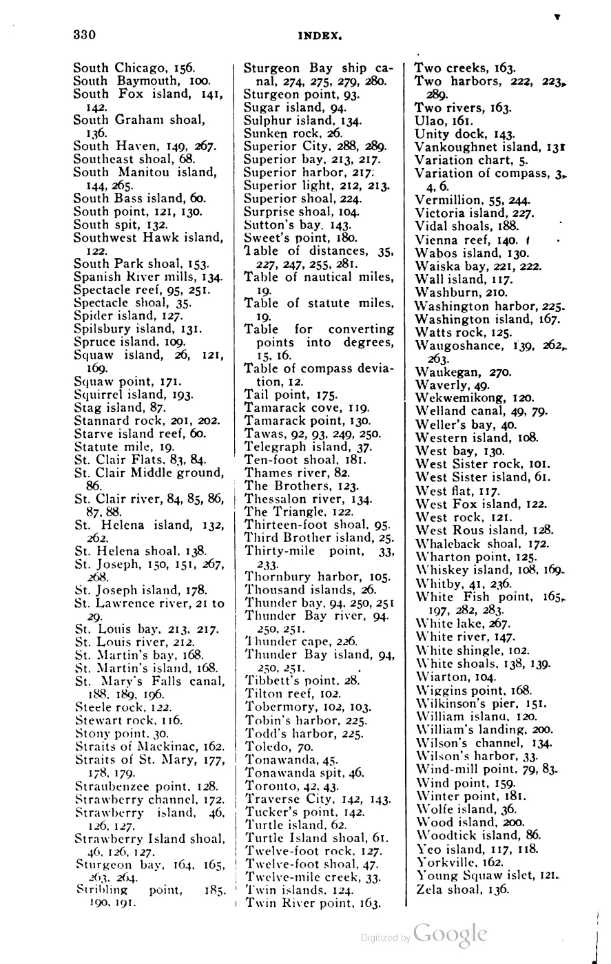
- George Scott, *Scott's New Coast Pilot for the Lakes*, 6th ed. (Detroit: The Free Press Printing Company, 1902), p. 264.Described in this archive: Scott's New Coast Pilot for the Lakes.Describes Gull Island Reef as a “very dangerous shoal” with only 5 feet of water and shoal spots south and east of it; places it S.S.E. 3/4 E., 4 miles from Gull Island’s south point, on a range with High Island’s southeast point and a hill near Beaver Island’s northwest point. This is a 1902 navigational description, not a current chart or a surveyed modern boundary. No public copy of this file is known; the archive holds one and can provide it on request.local_documents · 1902_scott-new-coast-pilot-for-the-lakes-6ed
- The chart’s triangulation credits explicitly identify work at High, Gull, Trout, Whiskey, and Squaw Islands. It is evidence of the survey’s named reef-and-island geography, not a modern hydrographic boundary or depth determination.federal · noaa_charts · images · 1855_NORTH-END-OF-LAKE-MICHIGAN-INCLUDING-THE-BEAVER-ISLAND-GROUP-NORTH-END_LC00010-00-1855WWL
- Described in this archive: Northern Lake Michigan reef and coastal bathymetry, USGS OFR 03-120.Held metadata identifies a completed 2001 SHOALS lidar bathymetry survey named Gull Island Reef and gives a survey bounding box. The box is data coverage, not a reef boundary or a coordinate for this article.federal · noaa_bathymetry · usgs_ofr_2003_120 · metadata · gullmeta
- GNIS records the official feature name, classifies it as a Bar on the Gull Island map, and supplies the article’s point geometry. The point falls within the held 2001 lidar survey coverage; it is an official label point, not a surveyed reef boundary or a current shoalest-depth location.federal · gnis · gnis_names
- Charlevoix Courier, November 7, 1928, “Spawn Taken So Far Very Light.”Reports 800 pounds of trout lifted in illegally set nets off Gull Island Reef and describes conservation officers supervising spawn-taking. It is historical fisheries and enforcement context, not a survey of the reef’s physical extent. No public copy of this file is known; the archive holds one and can provide it on request.
- Charlevoix Courier, April 1929, “Officers Take Martin Fishtug.”Reports warrants charging James Martin with illegal netting at Gull Island Reef and fishing without buoys. It is legal/enforcement context, not a contemporary hydrographic survey. No public copy of this file is known; the archive holds one and can provide it on request.

Added 28 July 2026 · revised 2 August 2026. Recent changes
Cite this article
Beaver Island Archive, “Gull Island Reef”, https://beaverislandarchive.org/places/gull-island-reef/, accessed [date], citing George Scott, *Scott's New Coast Pilot for the Lakes*, 6th ed. (Detroit: The Free Press Printing Company, 1902), p. 264. (and 5 further sources listed on the page).
Last revised 2026-08-02. Fill in [date] with the date you read it — this page is static and cannot know that.