

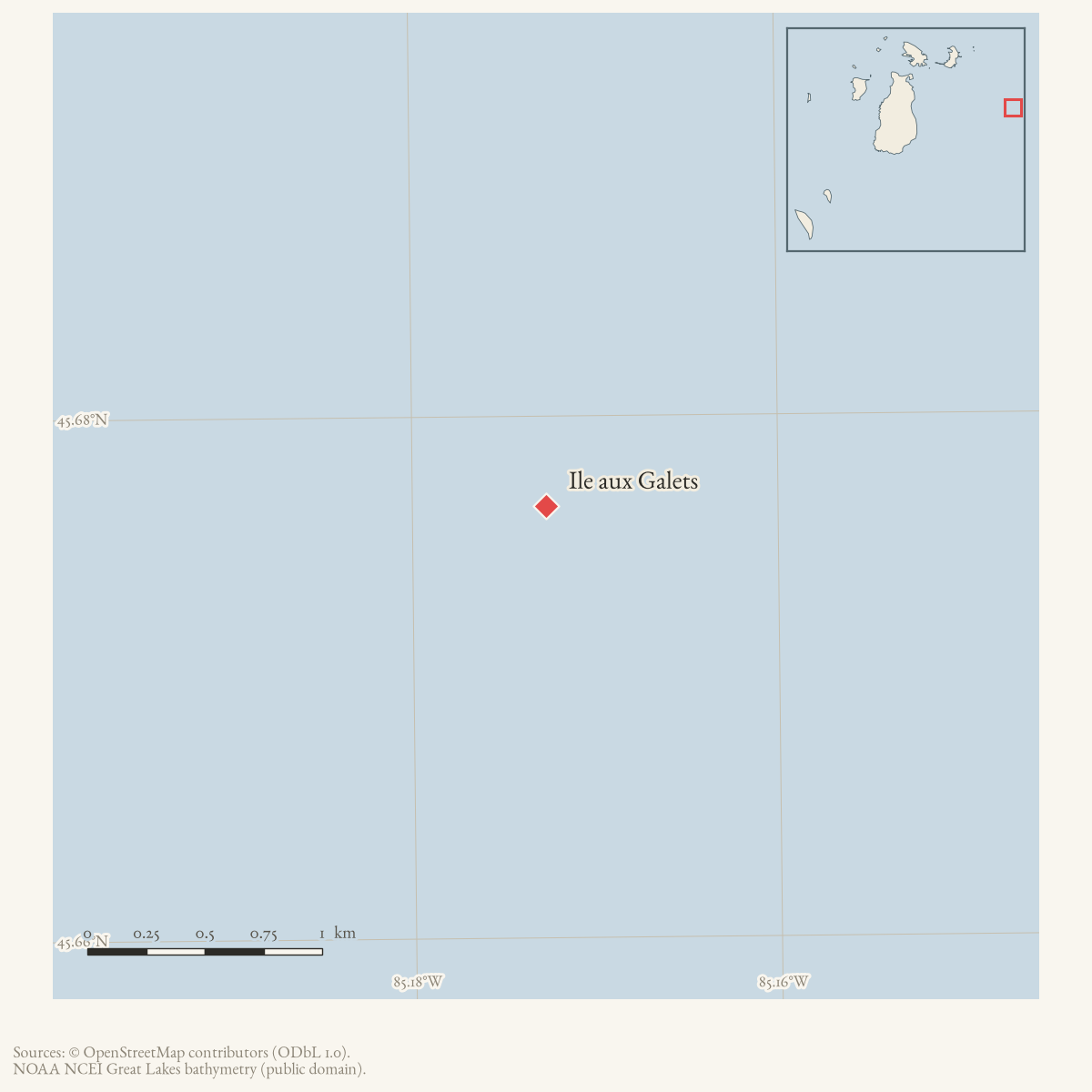
- Coordinates
- 45.6765° N, 85.1727° WGoogle Maps: Ile aux GaletsDownload KML
- Eras
- Modern era
- Concepts
- maritimeshippingenvironmentfishing
- Within
- Beaver Island archipelago
Summary
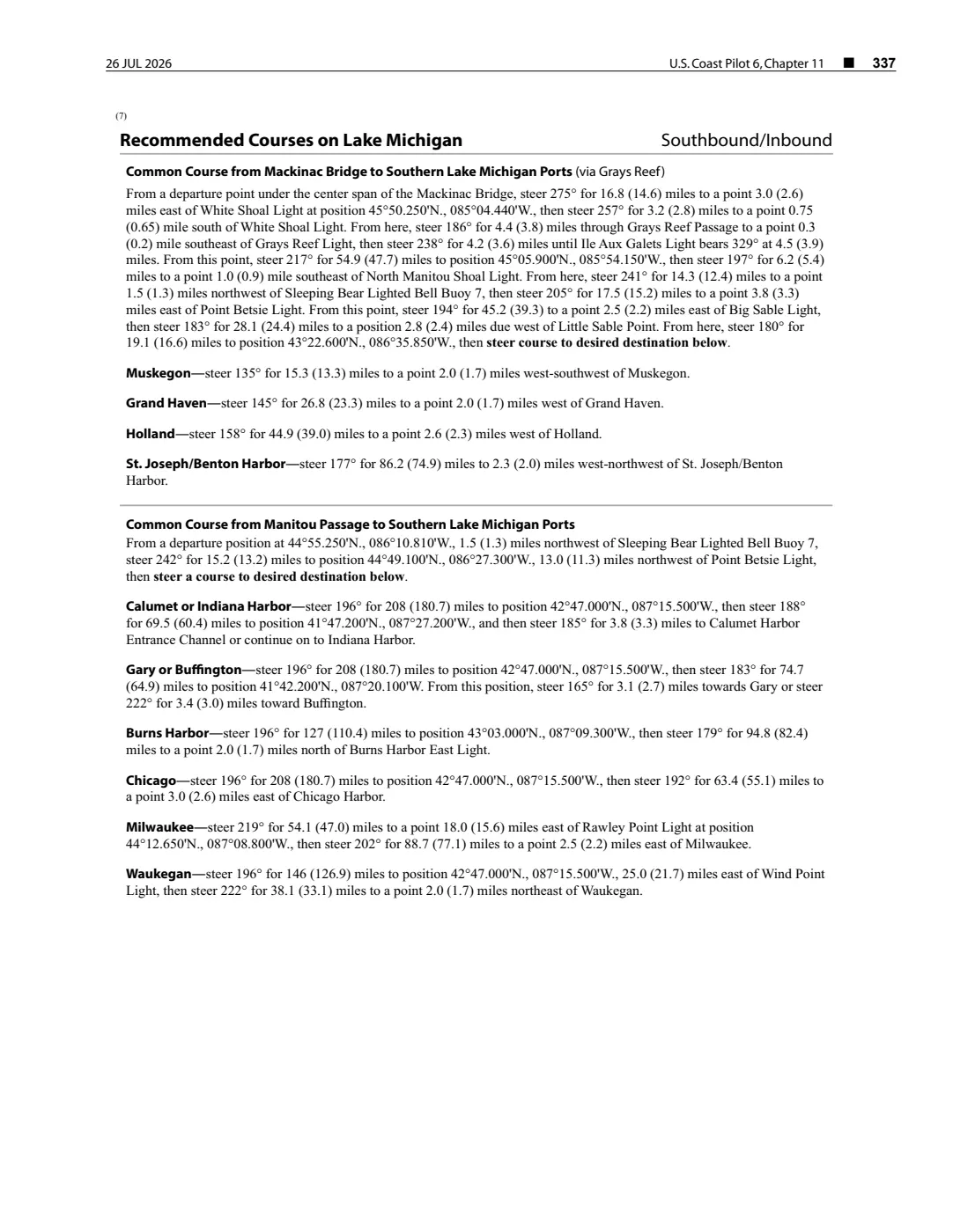
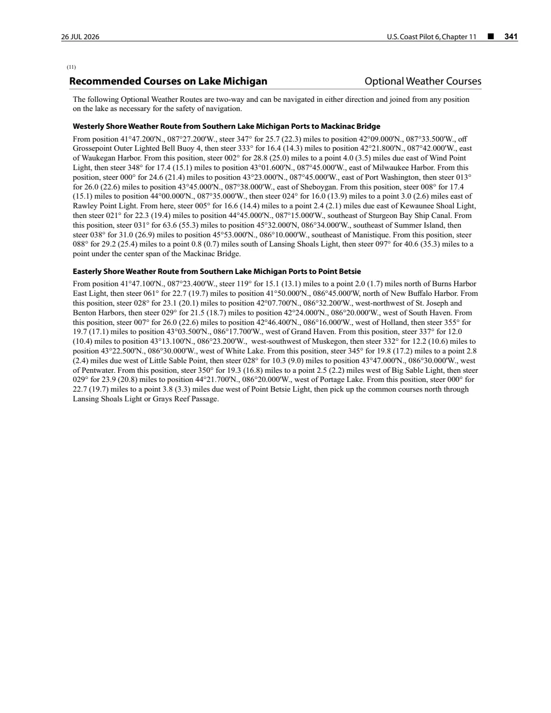
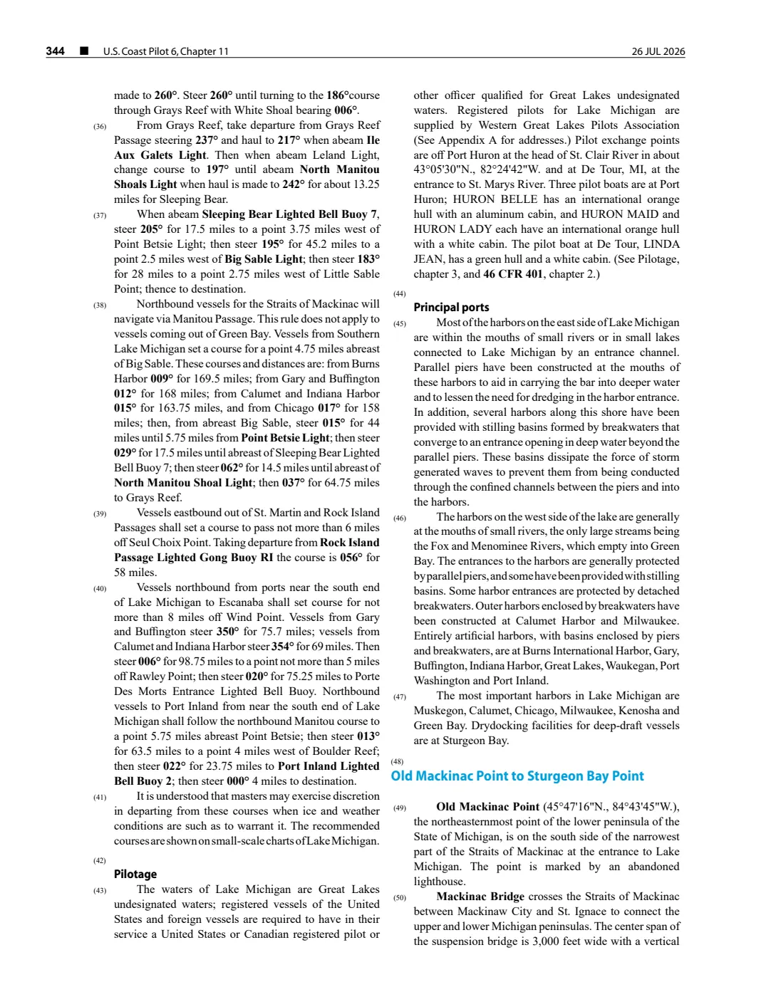
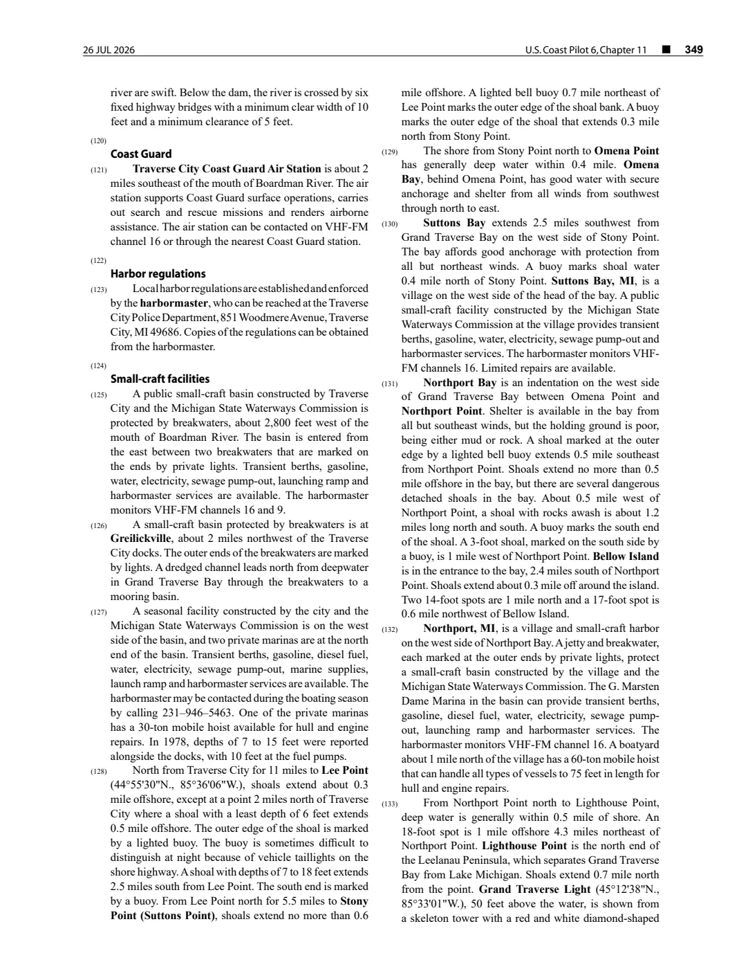
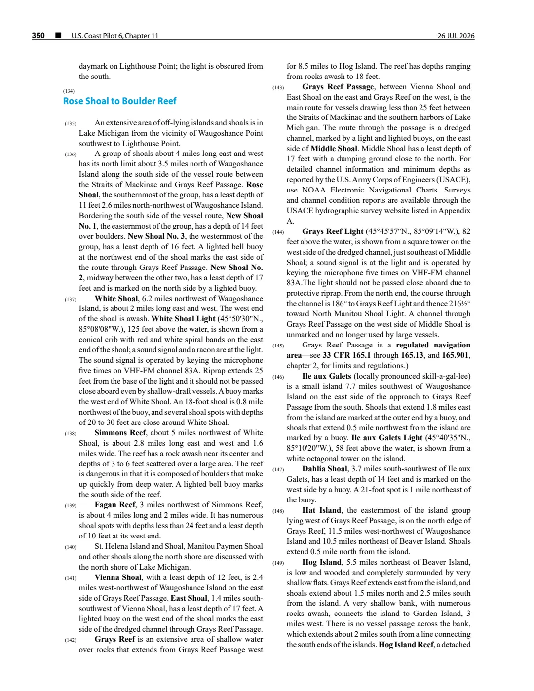
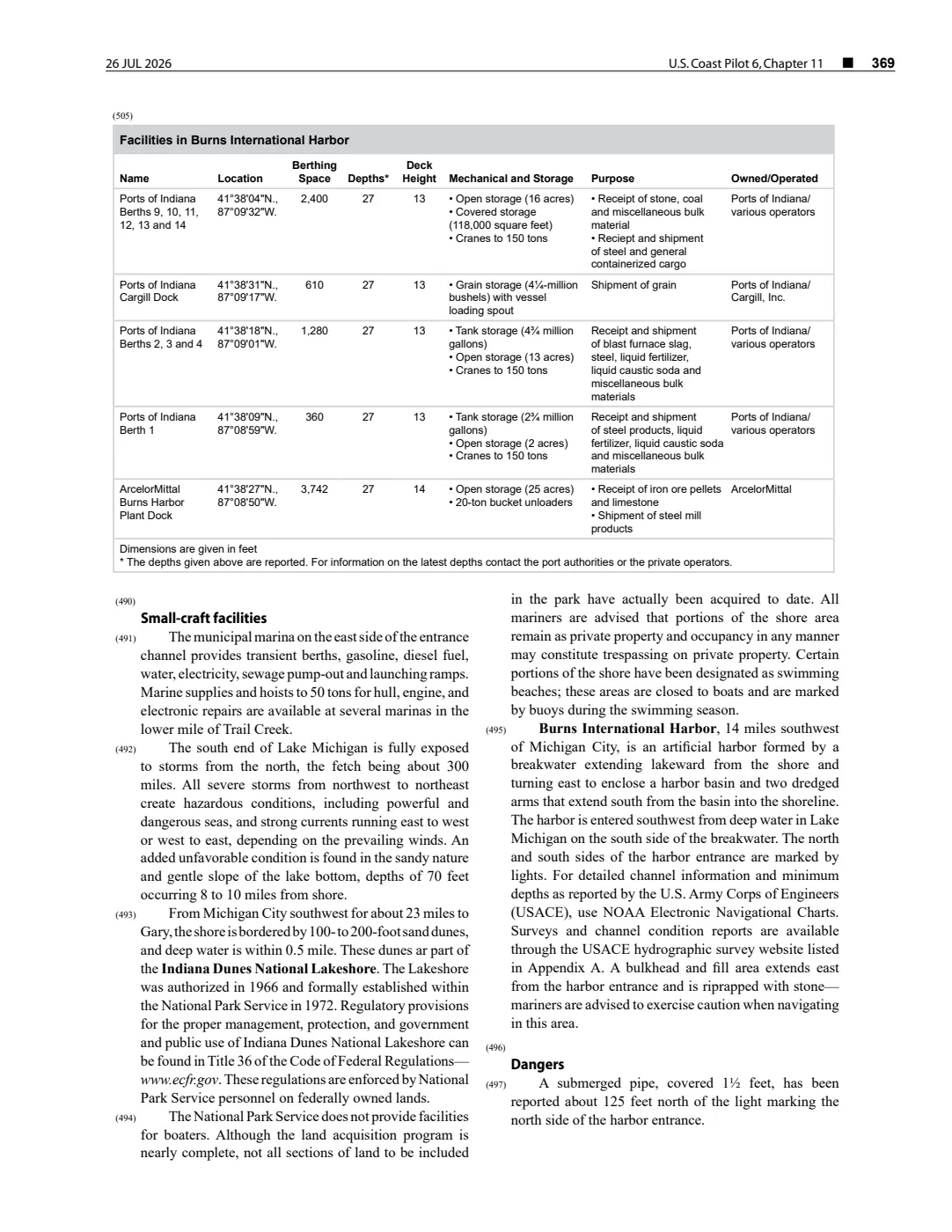
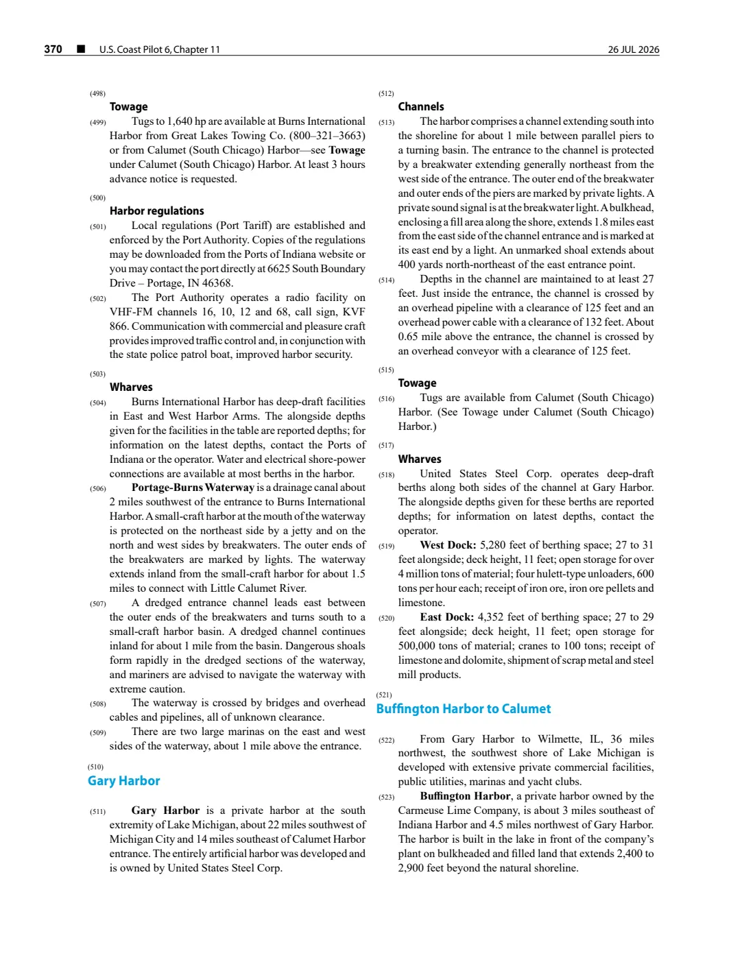
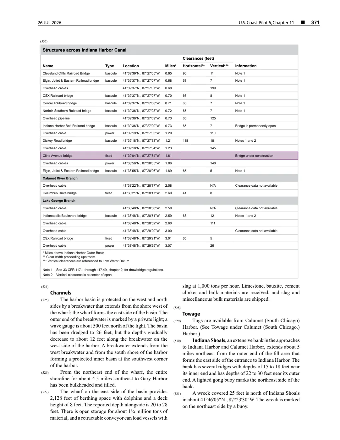
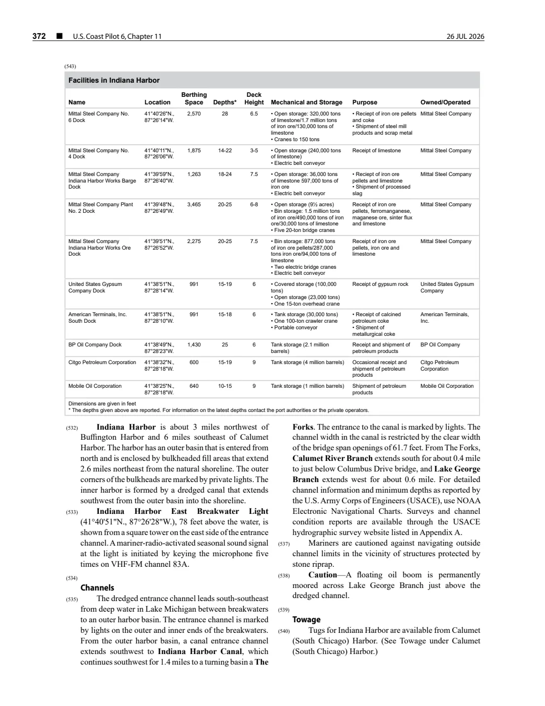
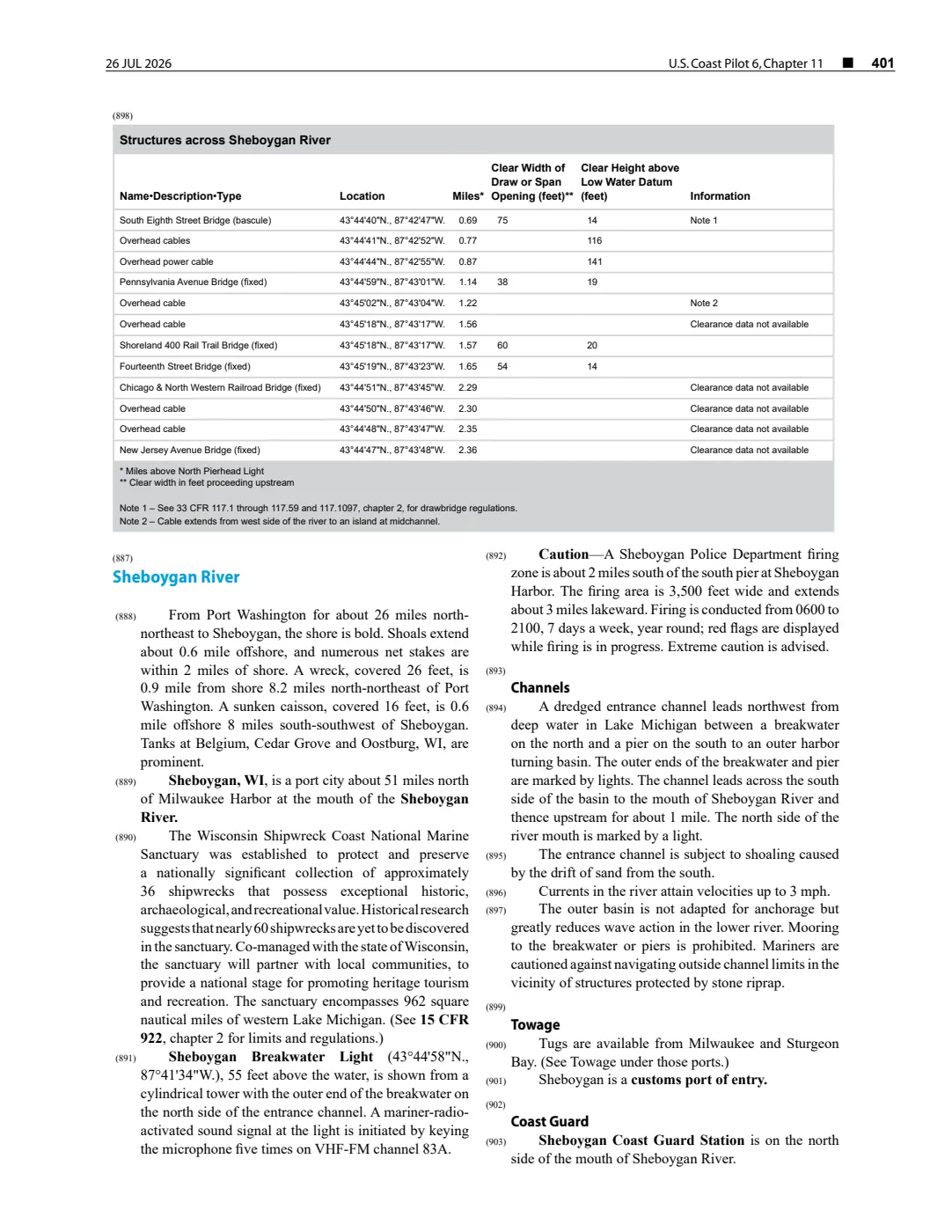
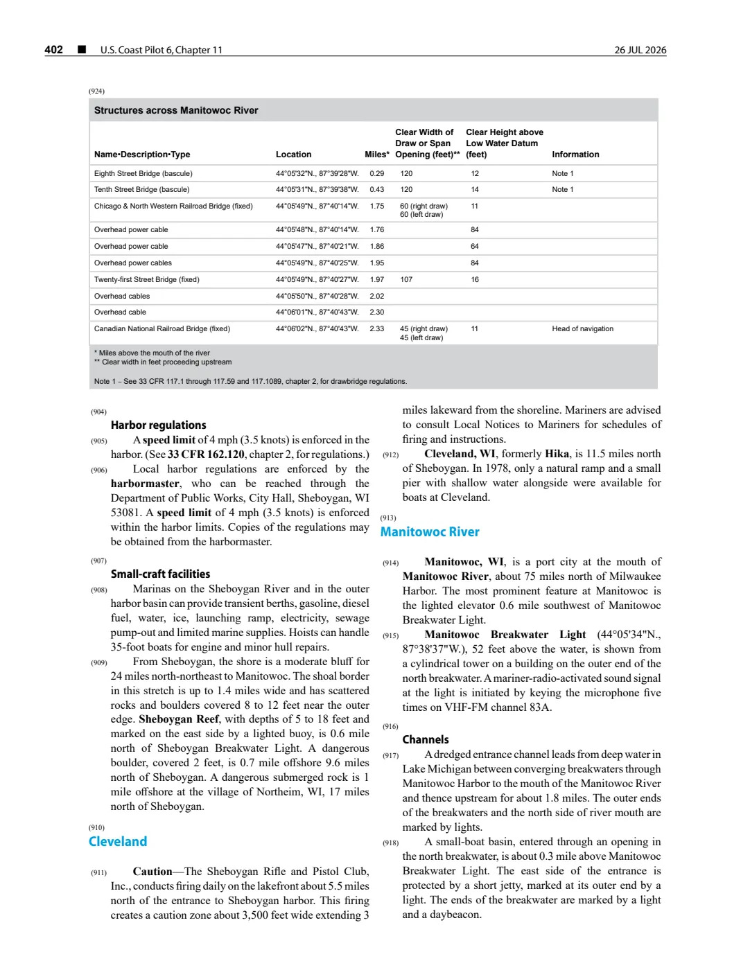
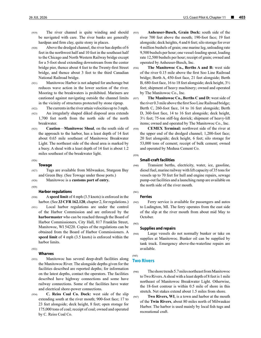
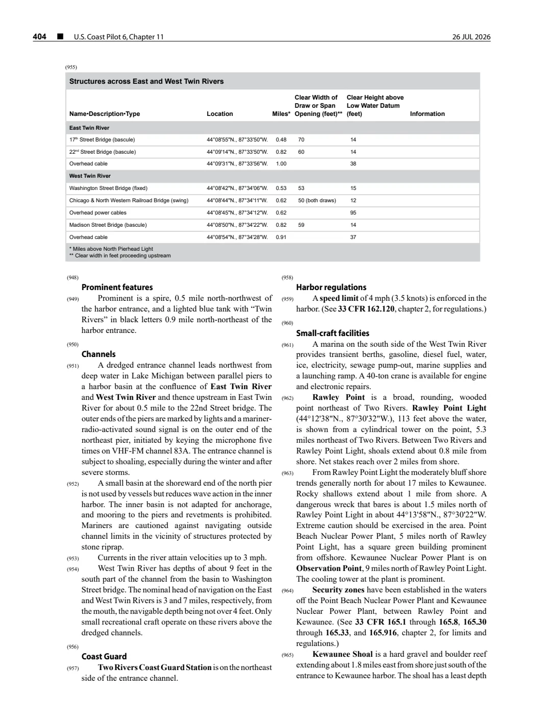
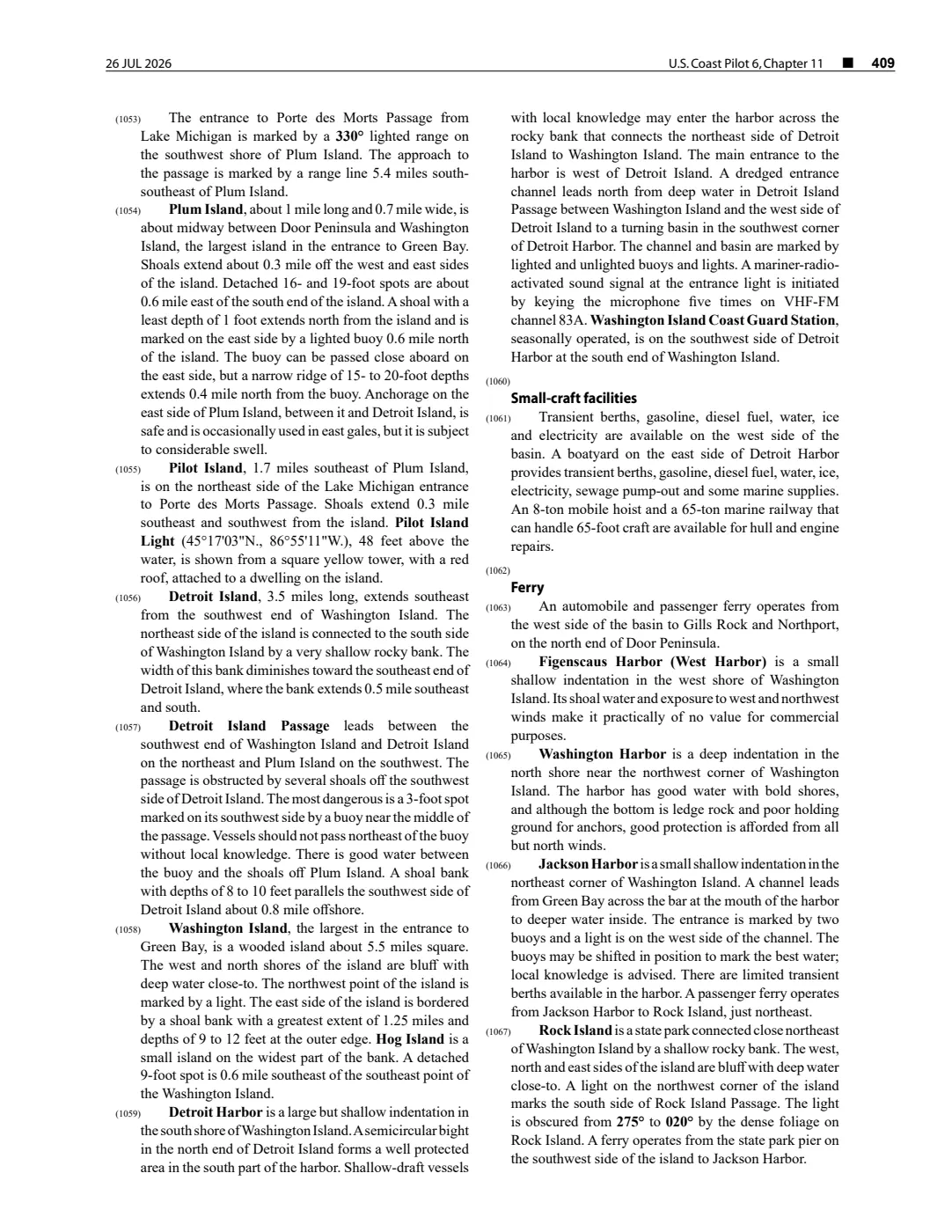
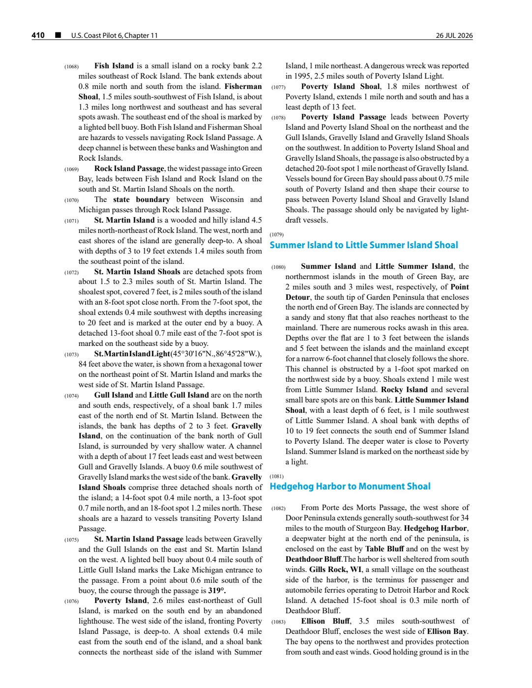
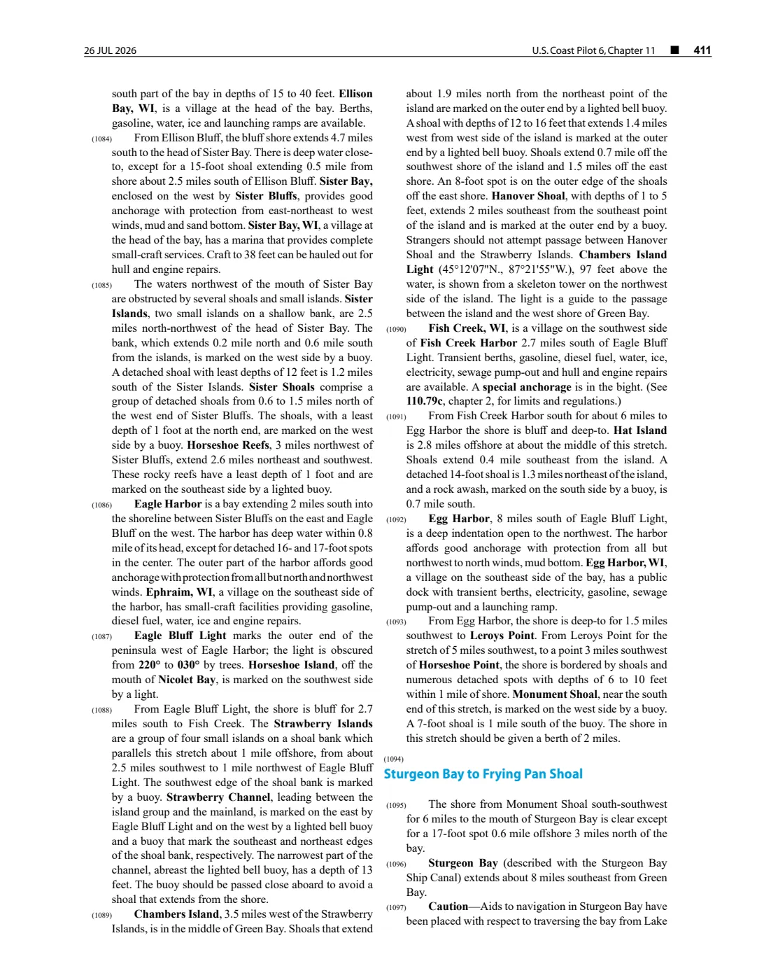
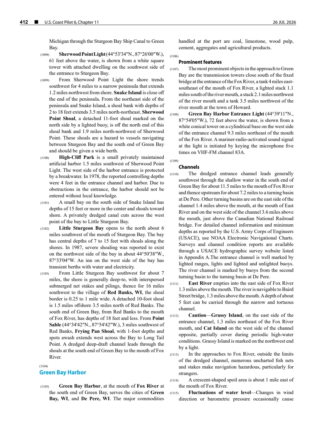
Iles aux Galets is the small island associated with Skilligallee Light Station and the nearby Dahlia Shoals. The held 26 July 2026 NOAA Coast Pilot revision describes it in the approach to Grays Reef Passage; the 2008 Great Lakes Fishery Commission guide uses it in its East Beaver Group management vocabulary.
Nearby wreck record
The separately modeled Skilligallee Reef is the named reef where the A.D. Patchin wrecked in 1850 according to a later Wisconsin Historical Society report. The available sources do not supply a boundary or coordinate for that reef, so this relationship does not collapse it into the island or assign a wreck position to Iles aux Galets.
Evidence and limits
This article separates the island from the light station on it and from Dahlia Shoals south-southwest of it. The sources establish those source-specific geographic and management relationships, but not an island polygon, official gazetteer identifier, property ownership, access, historical settlement, or a current navigation condition. It therefore remains unmapped pending an authoritative geometry.
See also
Maps for this place
These Atlas plates provide regional context. They do not establish a precise boundary, current ownership, access right, operating status, or field condition.
- EnvironmentSoils, wetlands, hydrography, and terrain
- GeologyGeneralized geology and landforms
- HydrologyMapped water and wetland context
- AccessMapped routes, facilities, and protected areas
- Land surveyPLSS geometry and historic GLO patent-location context
Read the document
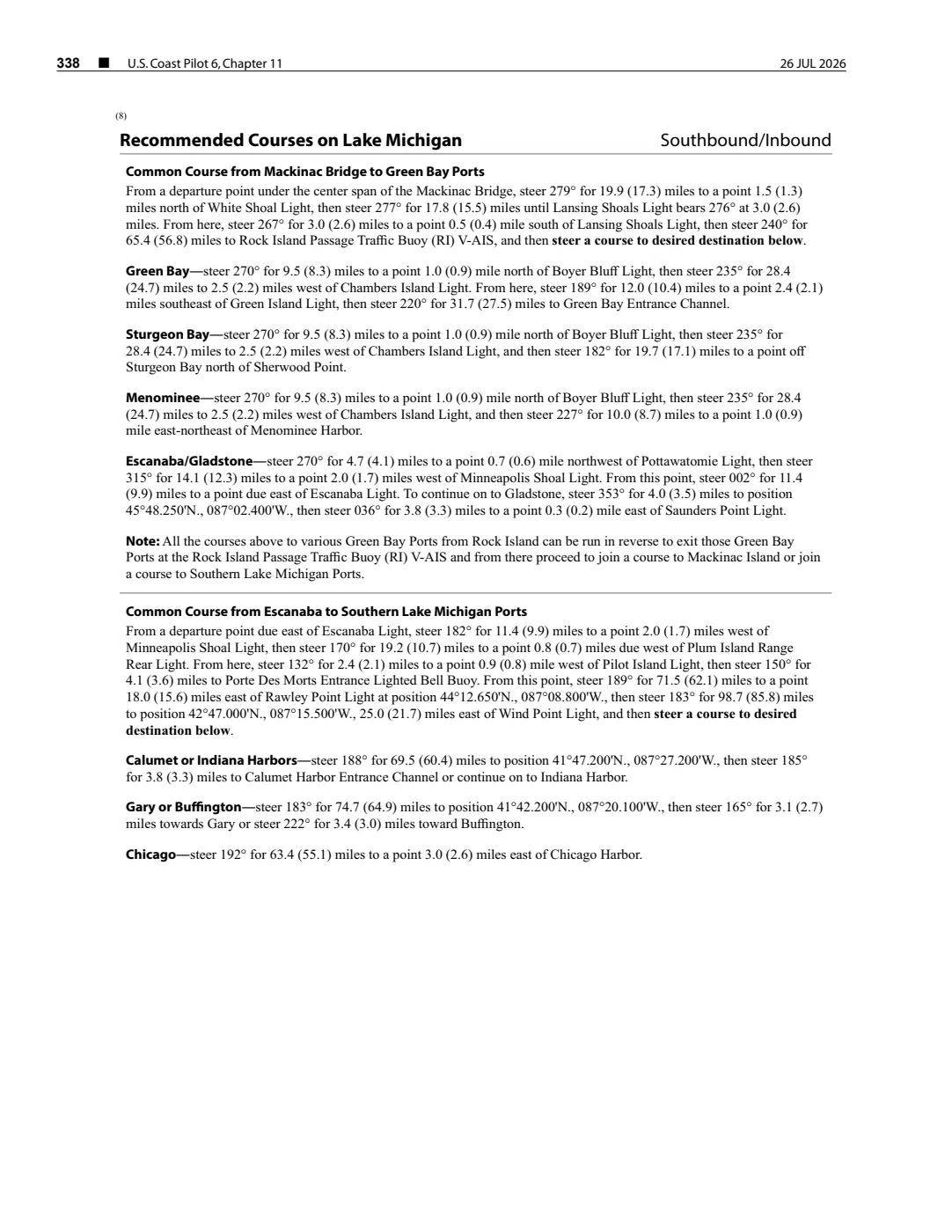
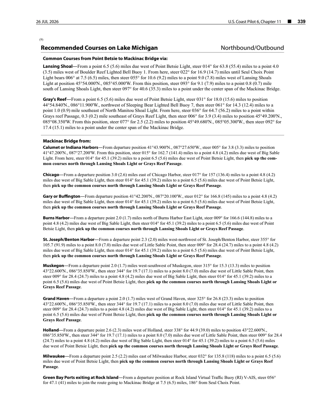
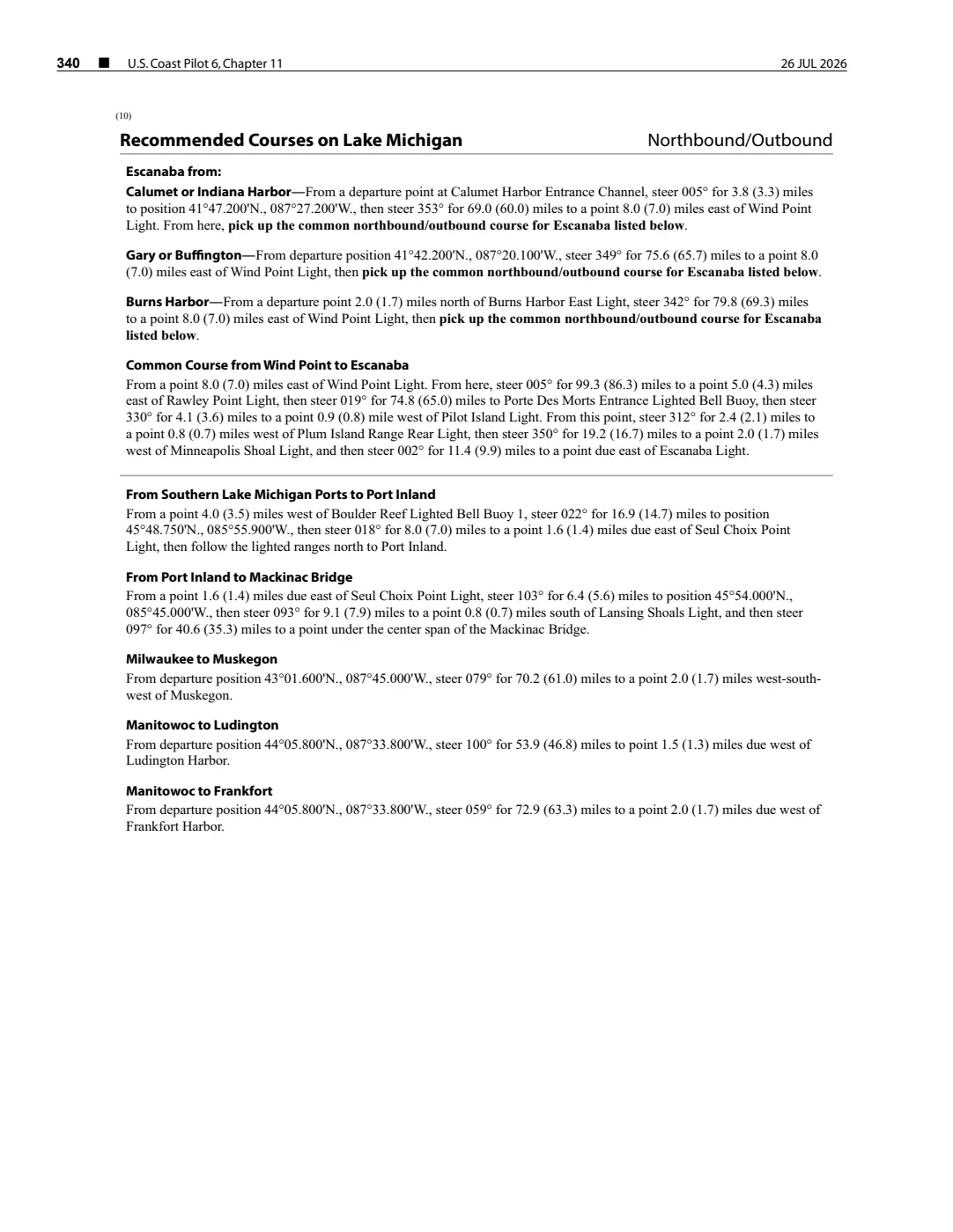
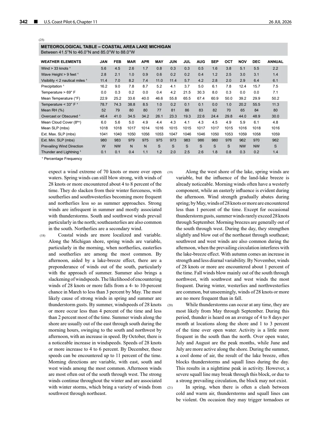
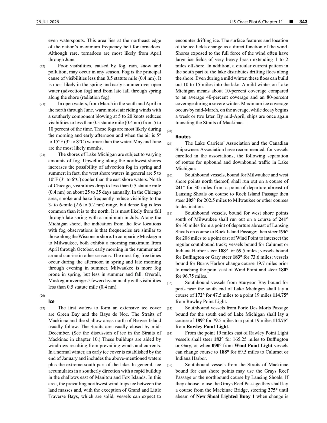
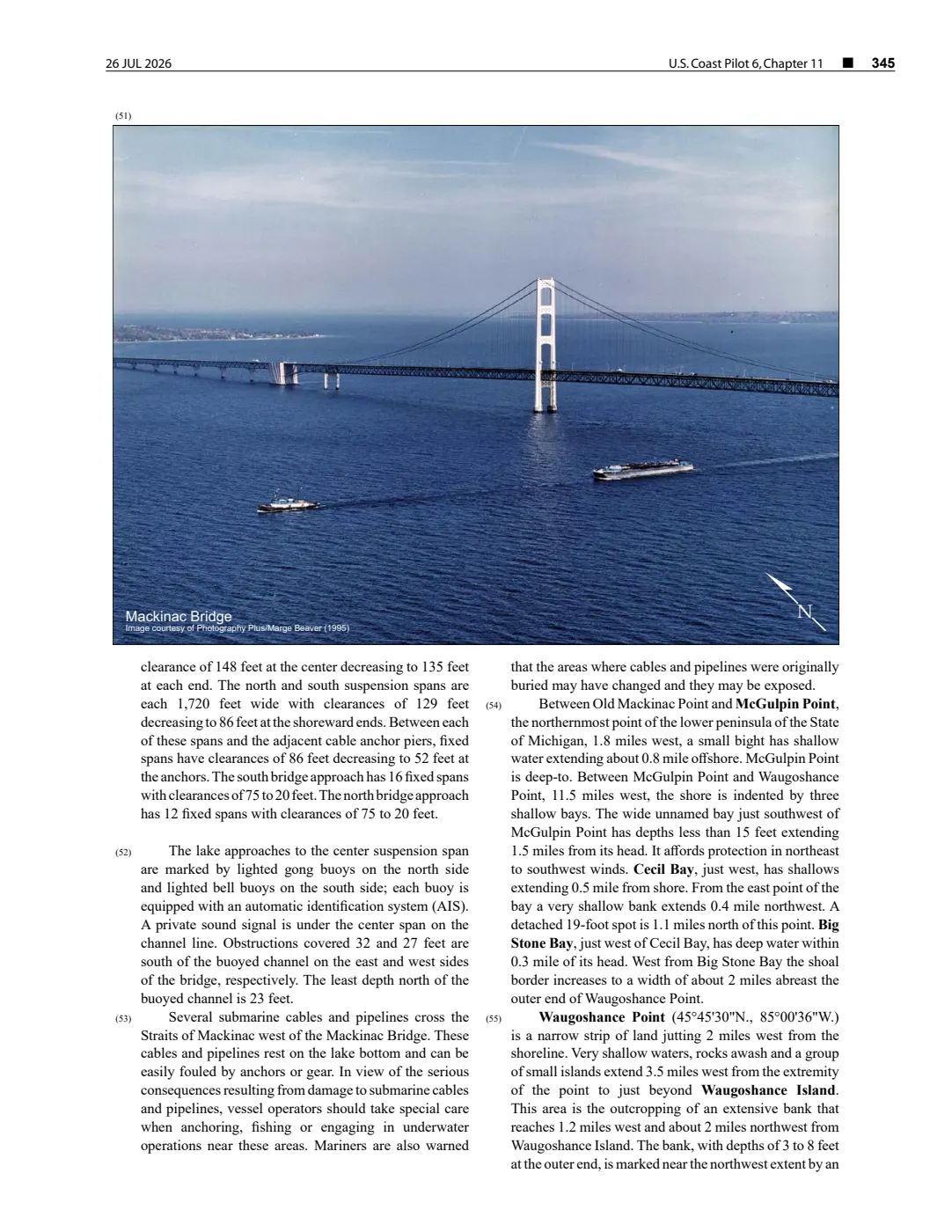
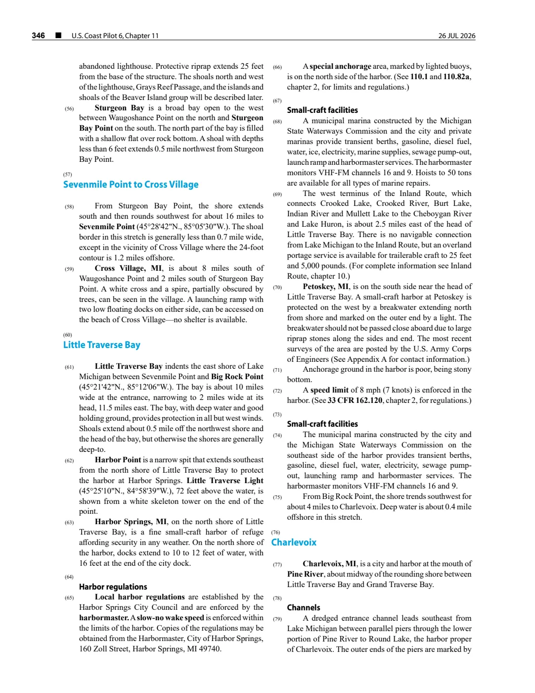
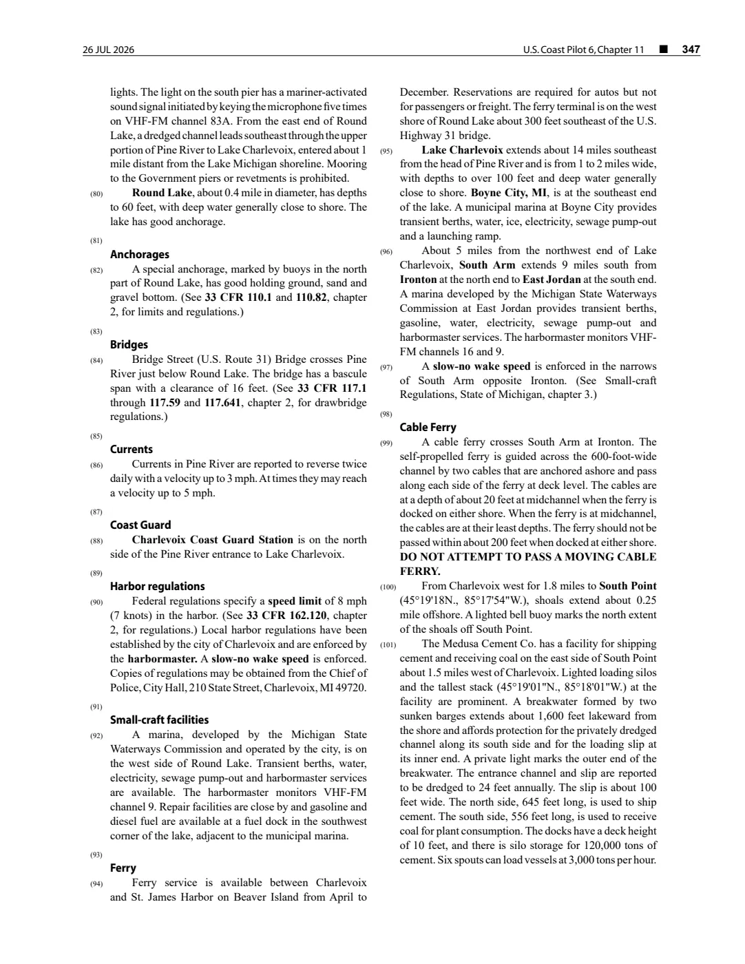
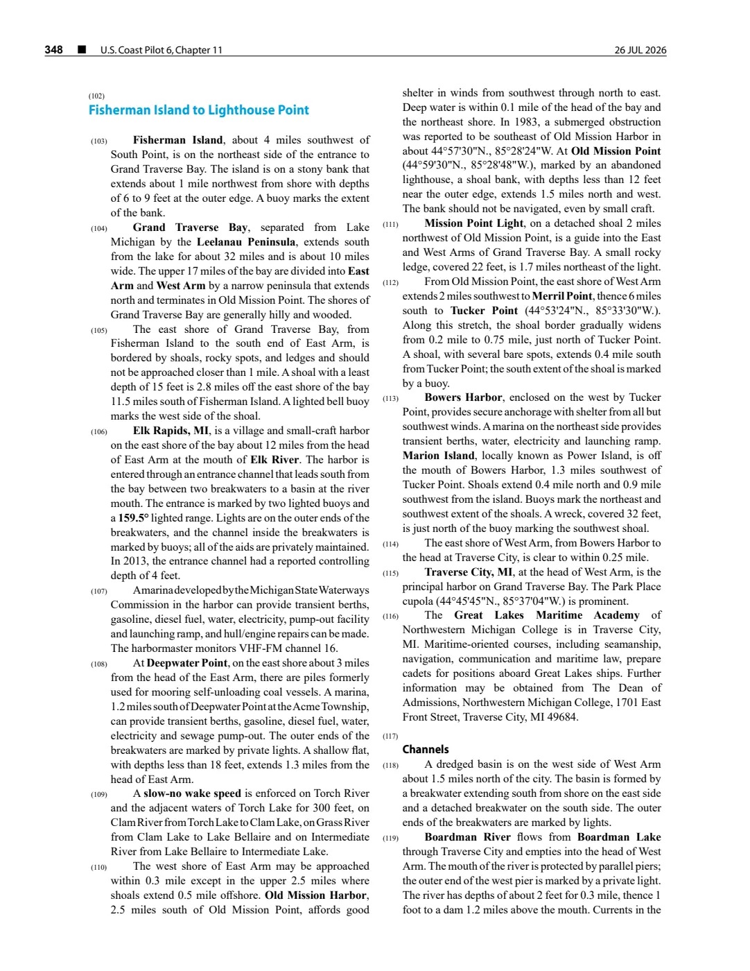
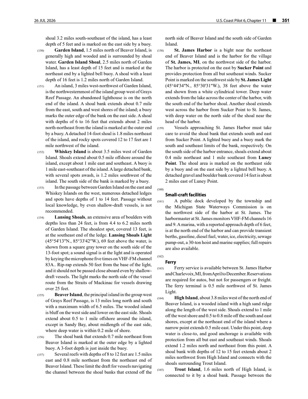
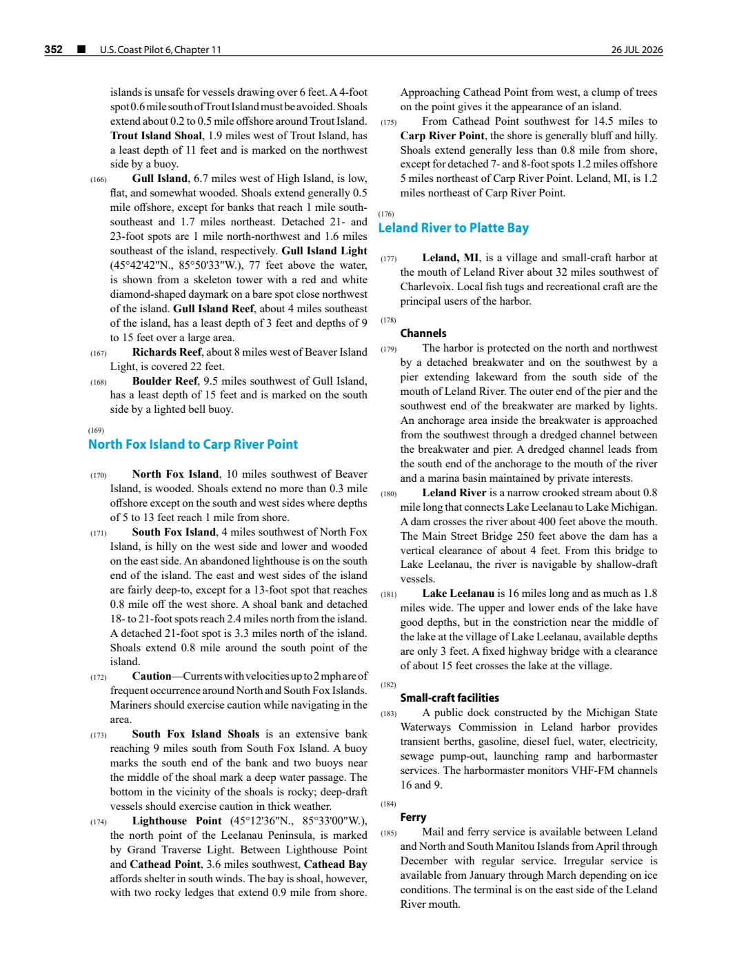
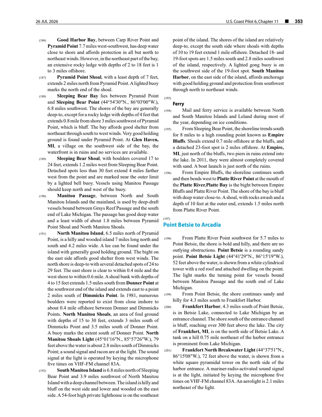
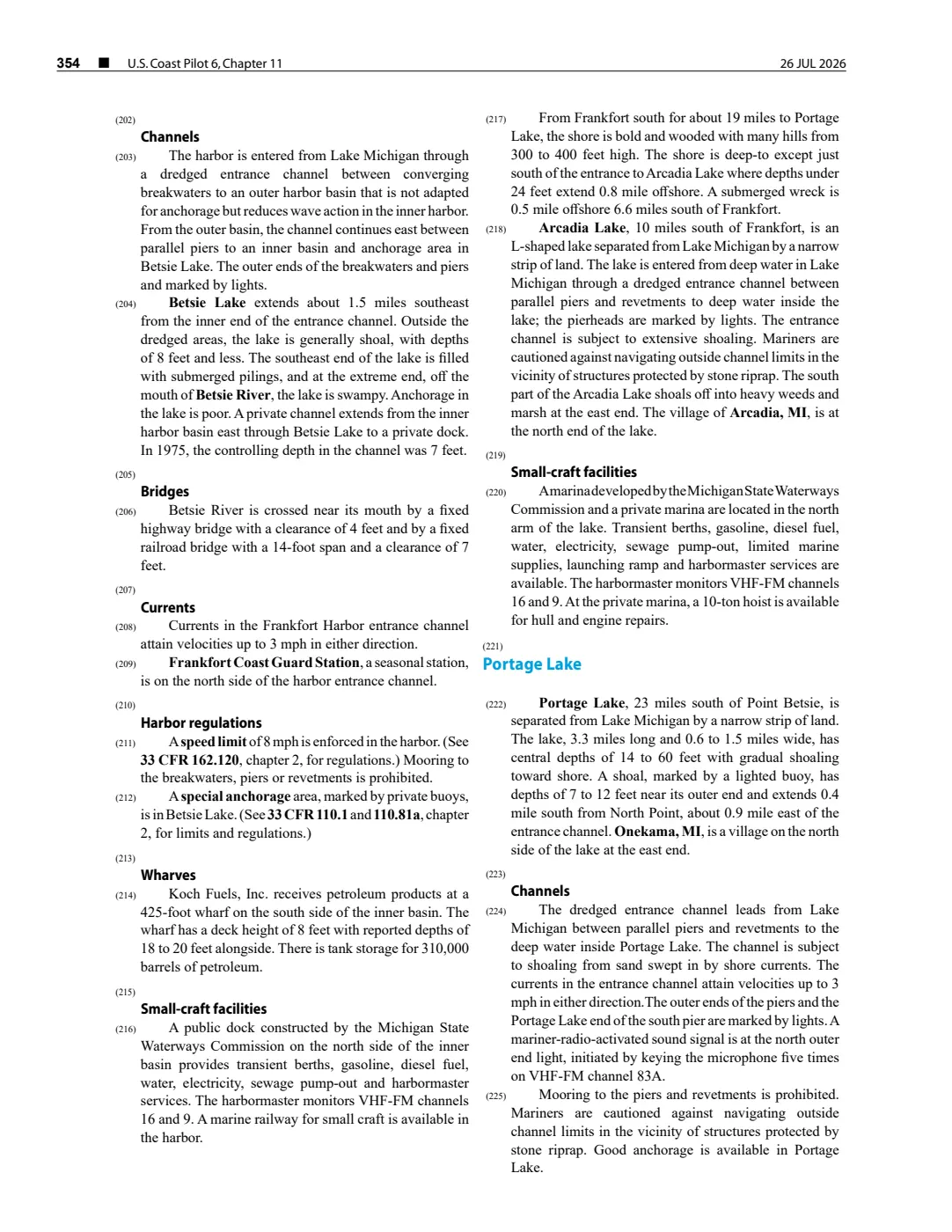
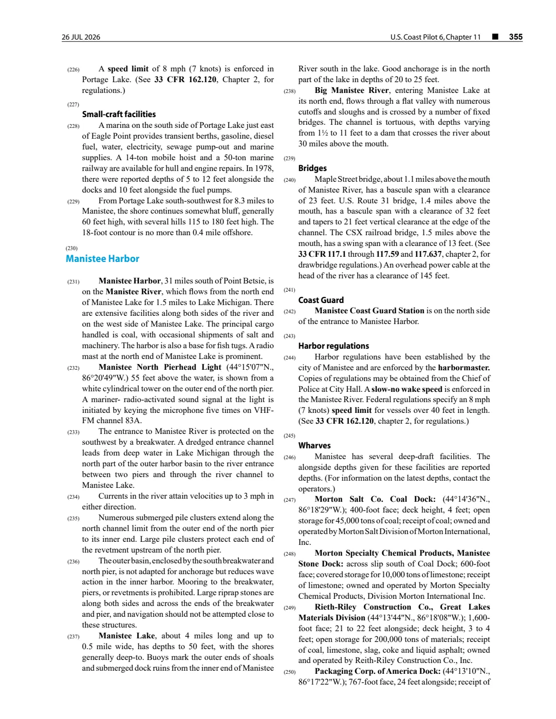
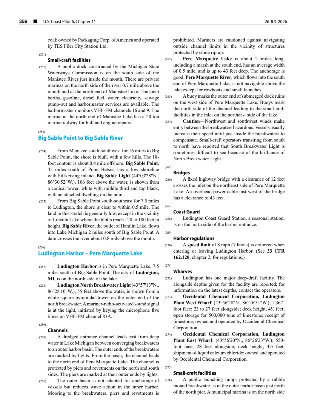
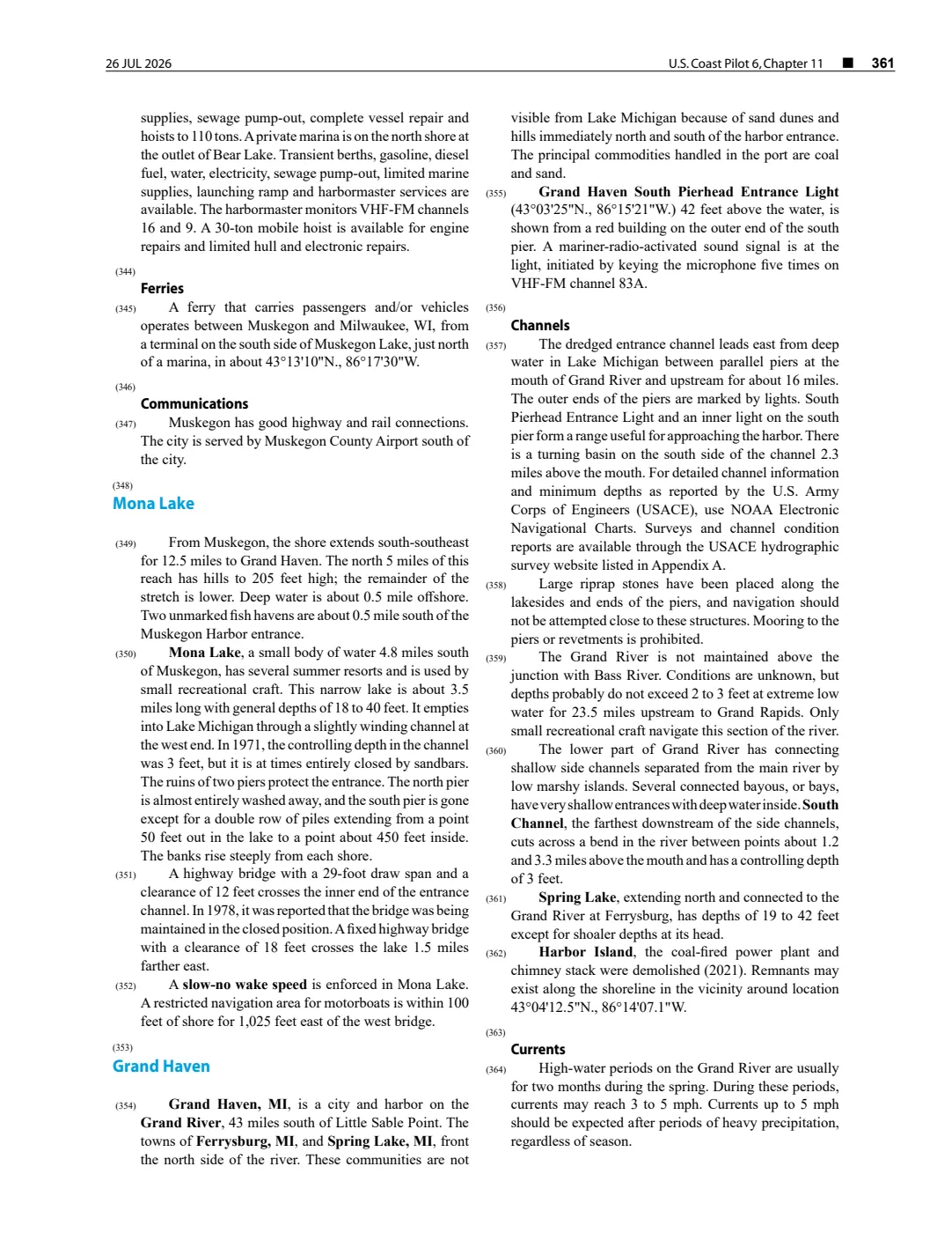
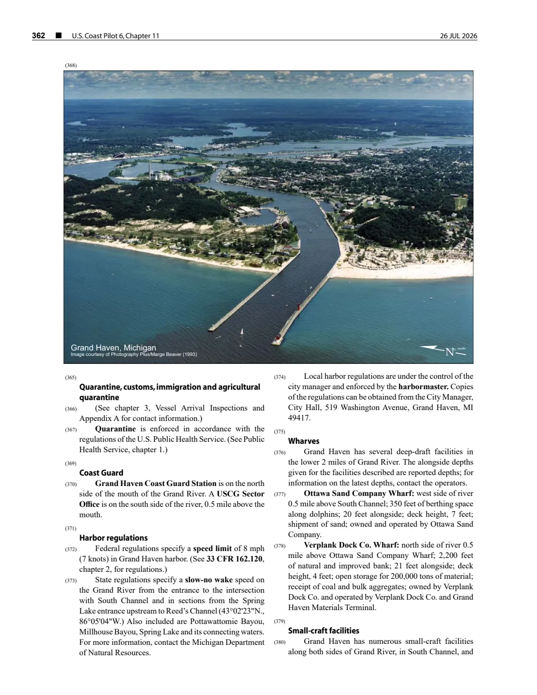
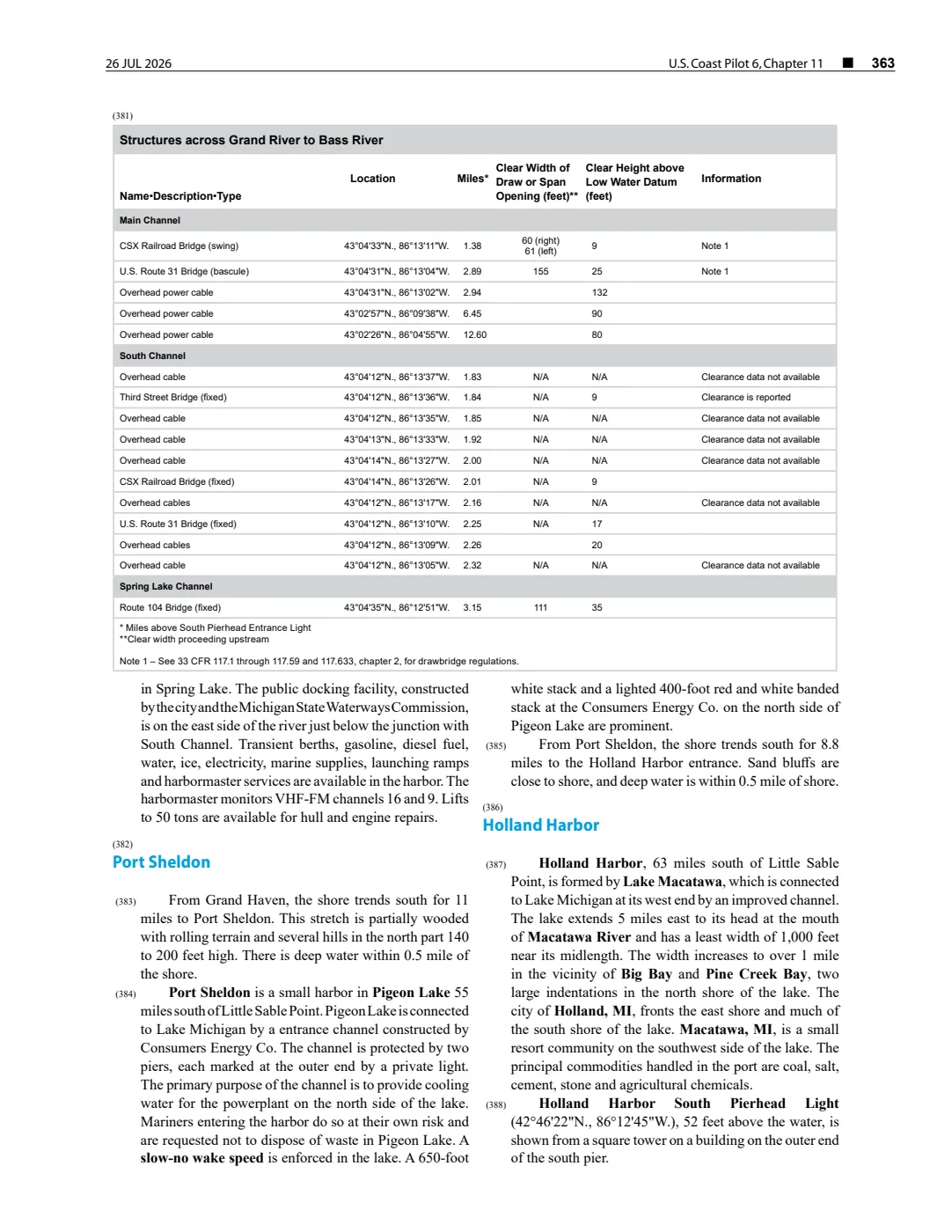
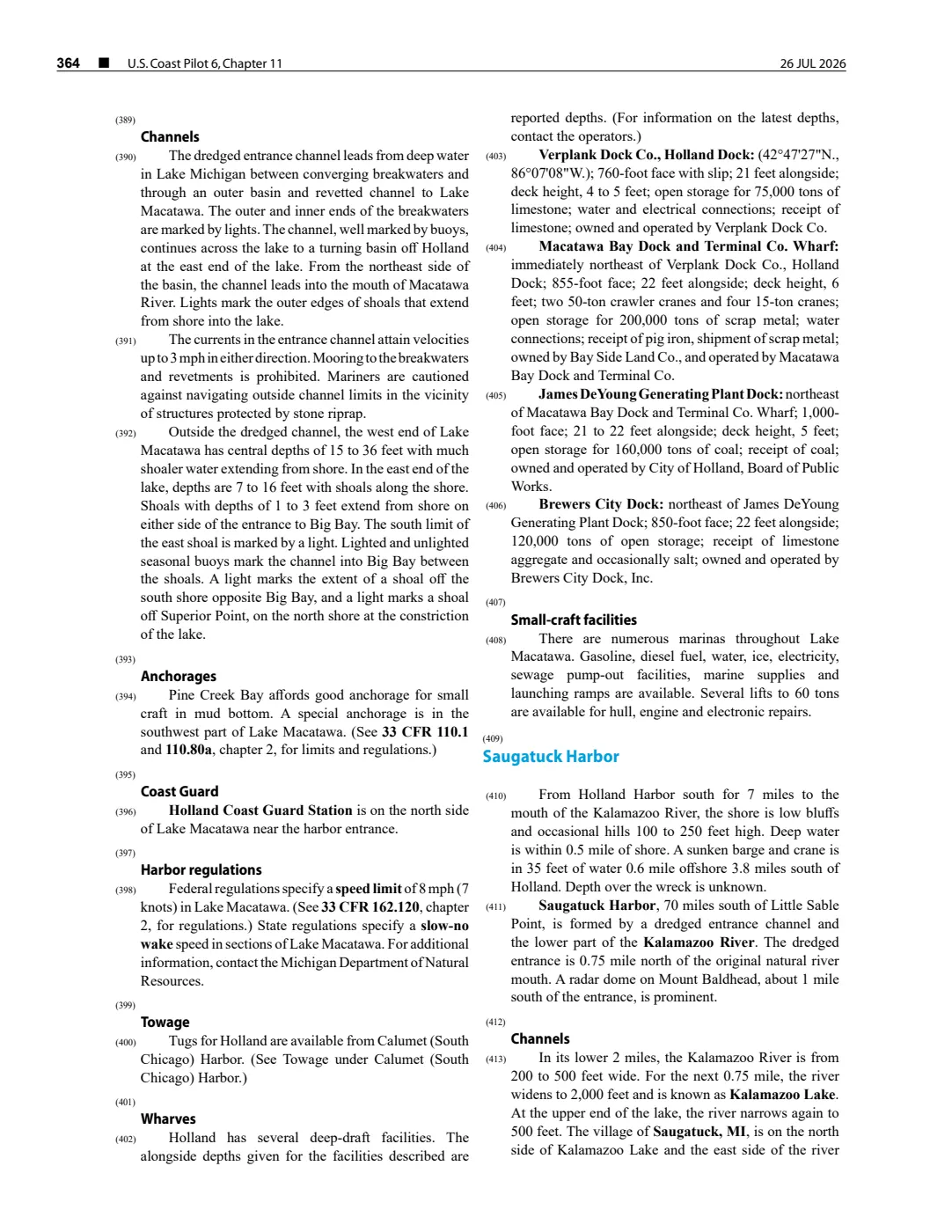
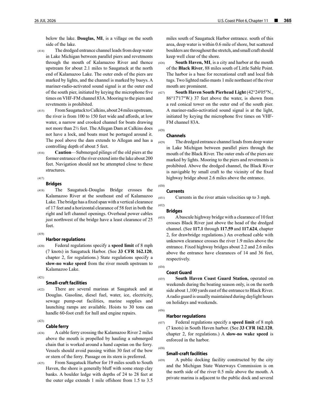
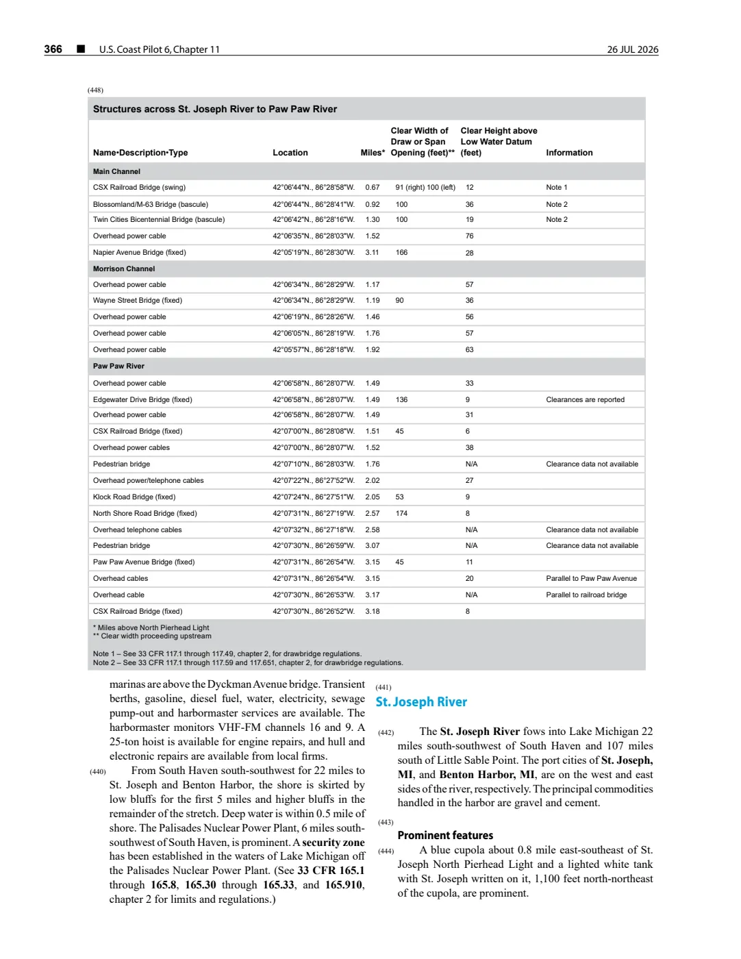
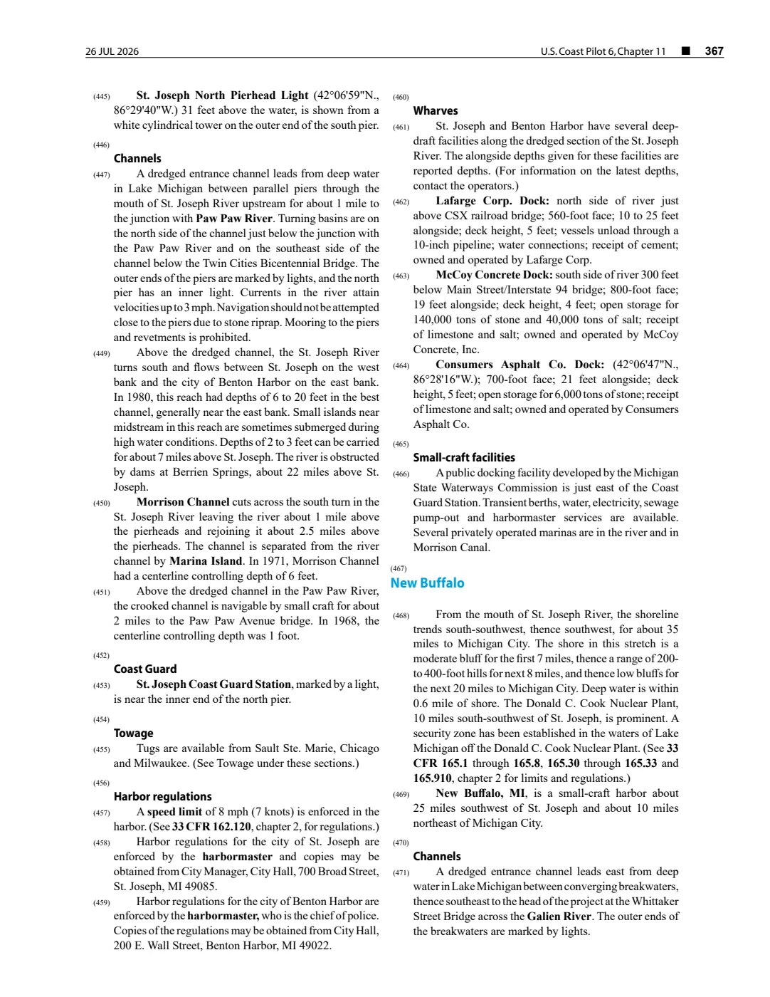
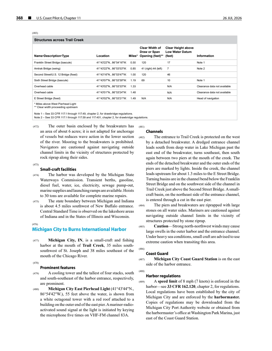
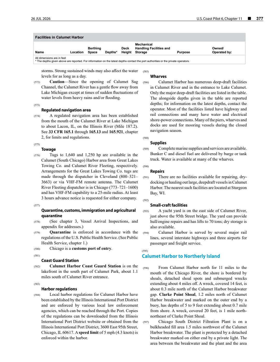
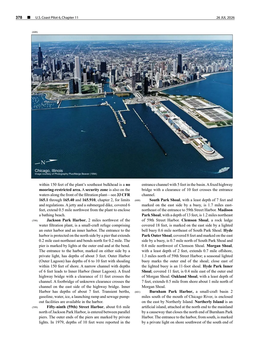
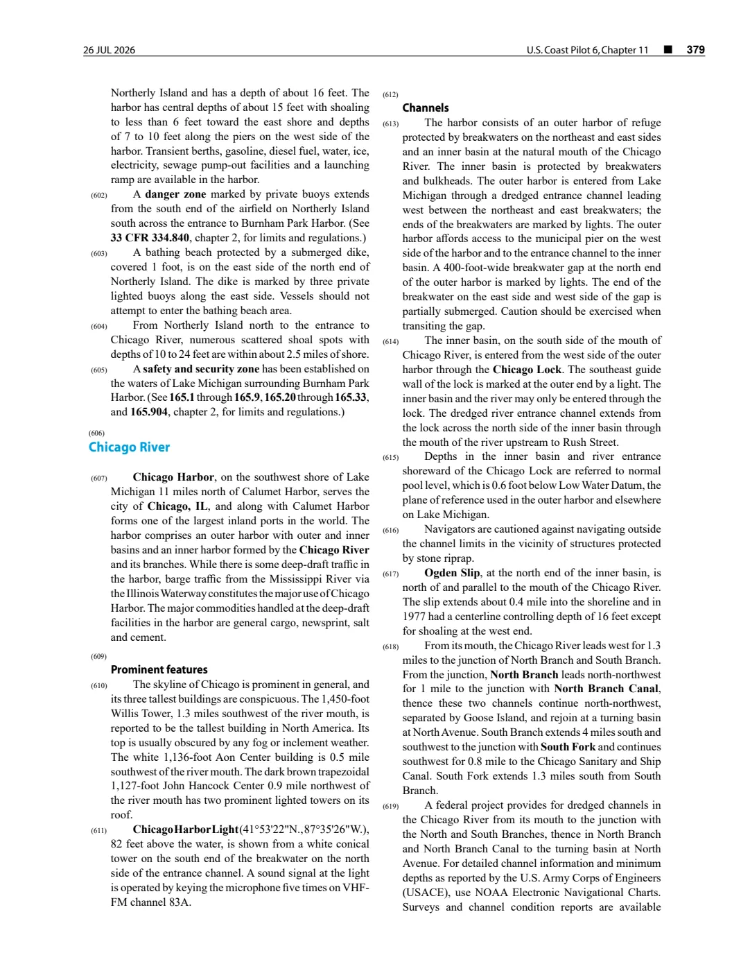
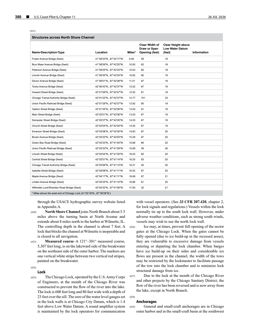
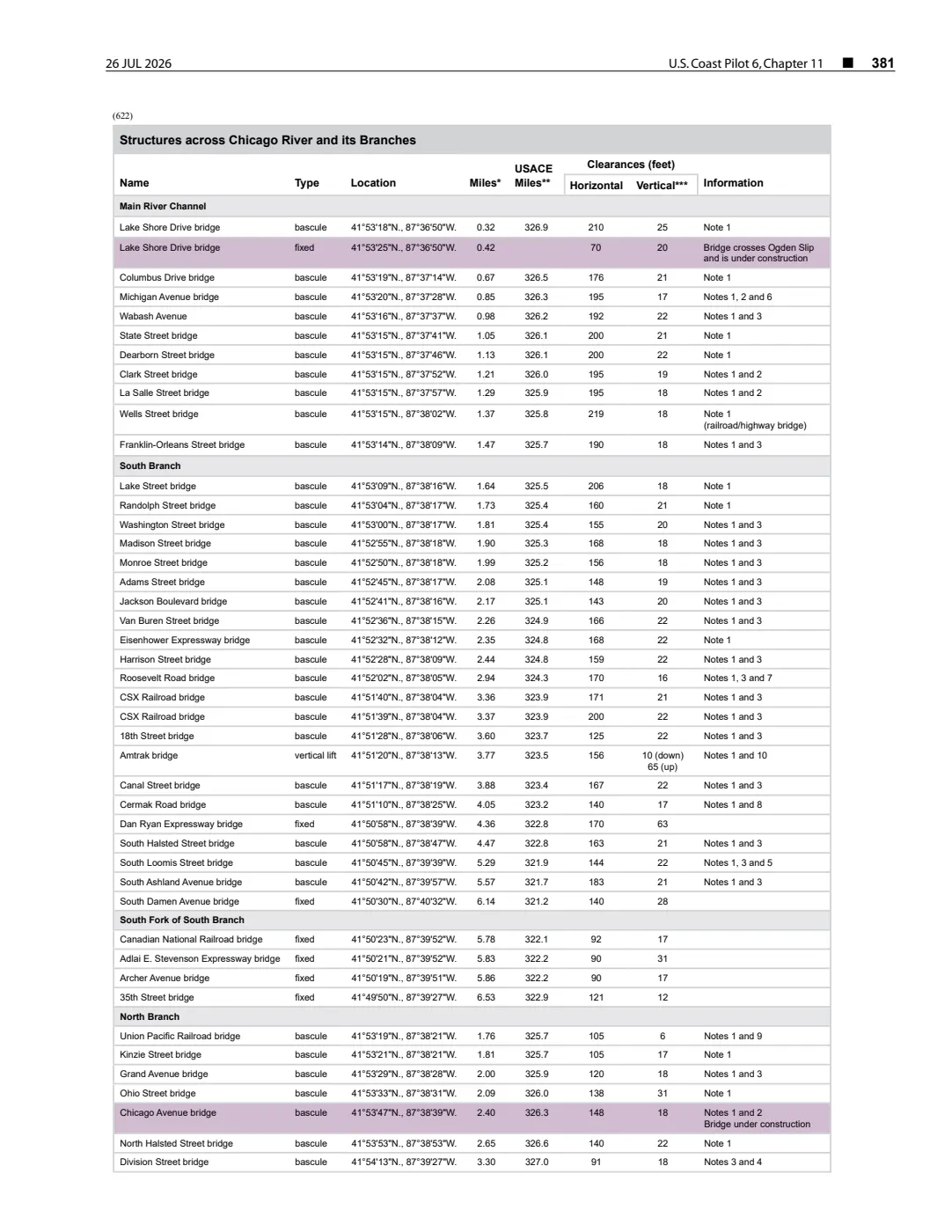
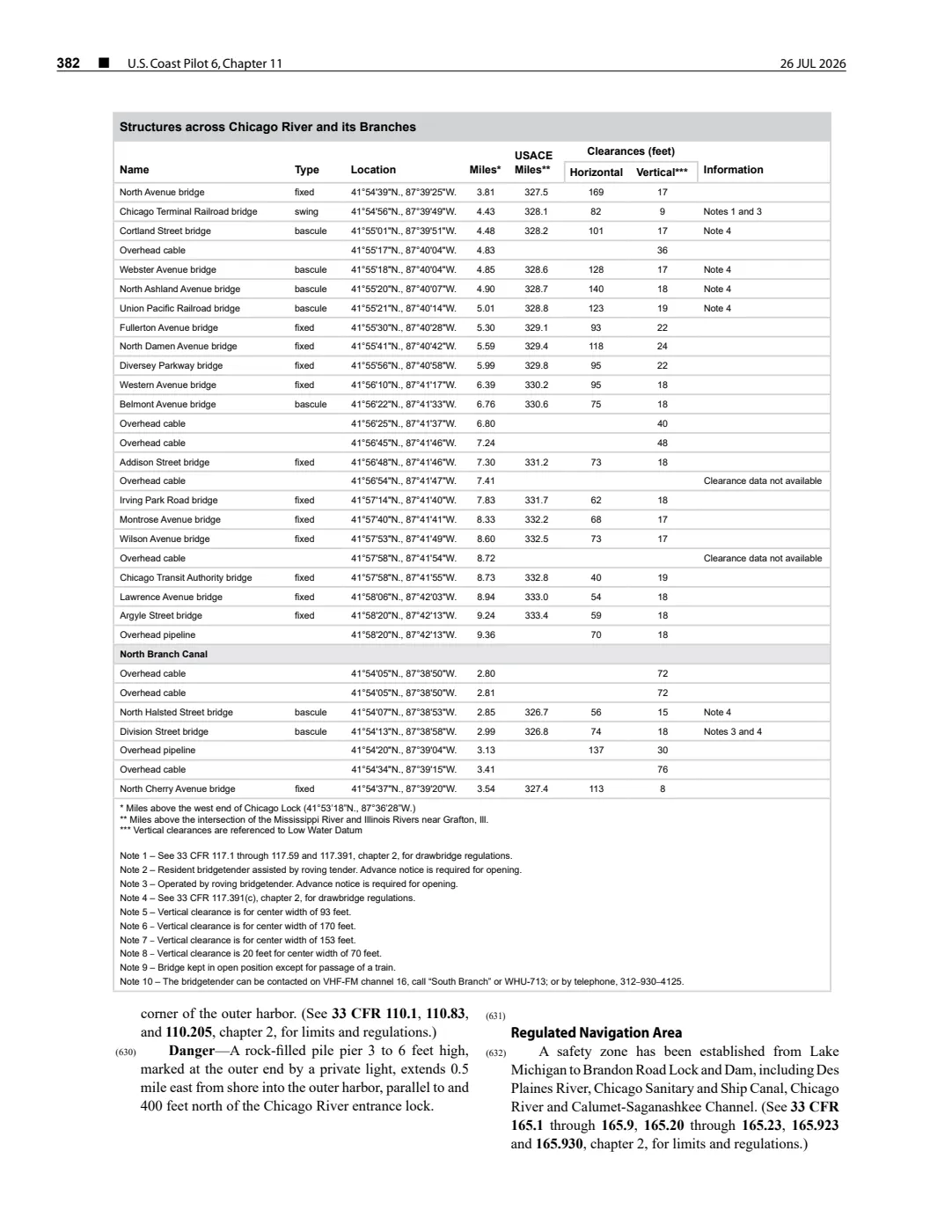
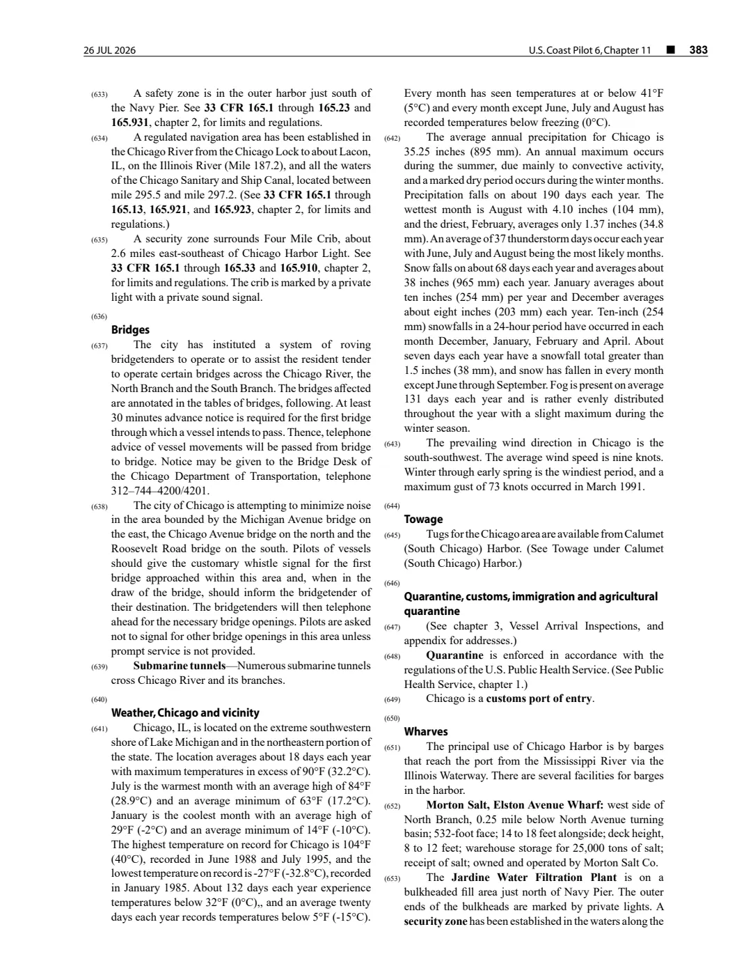
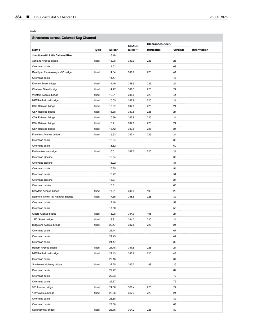
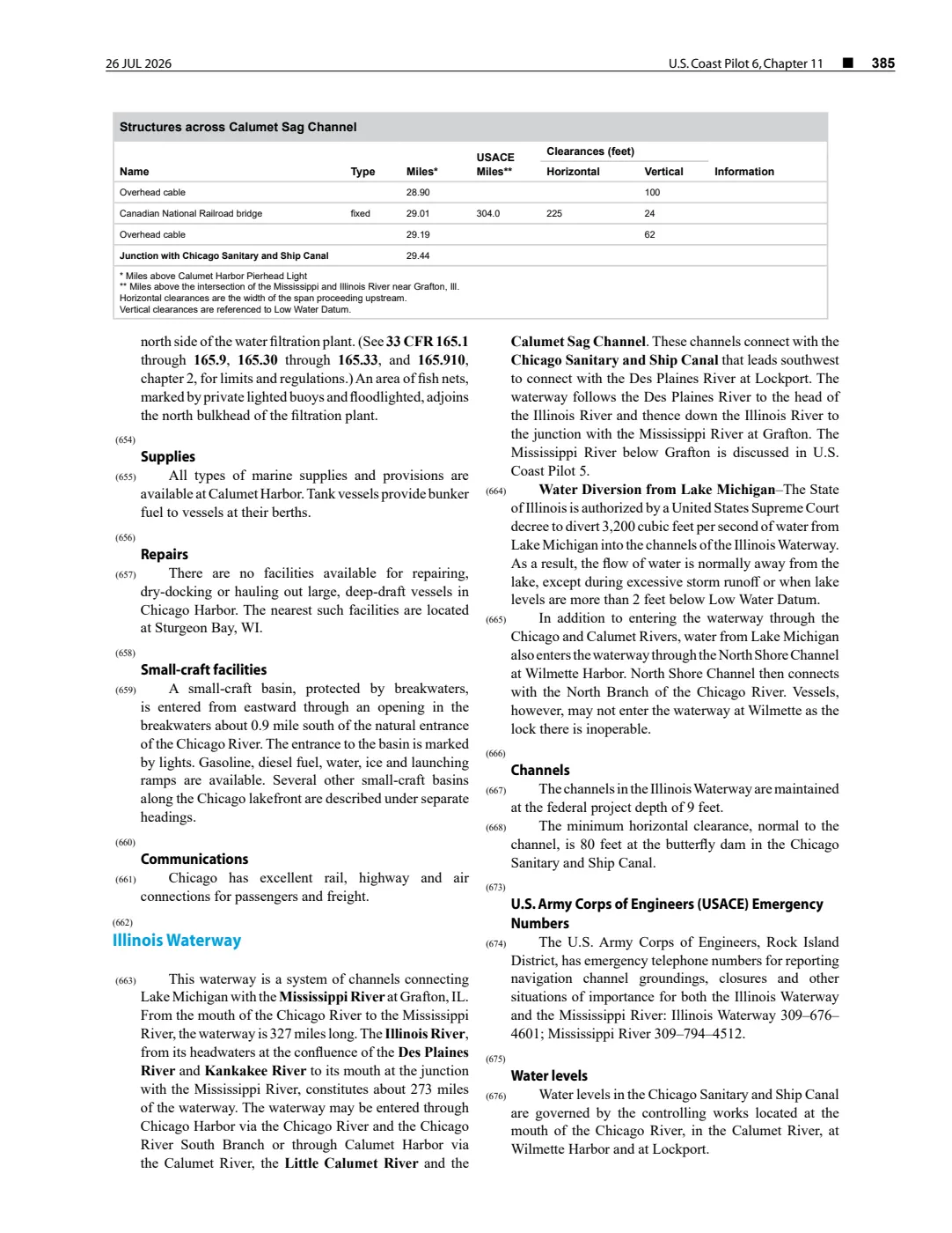
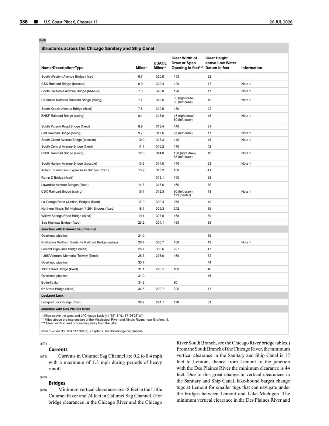
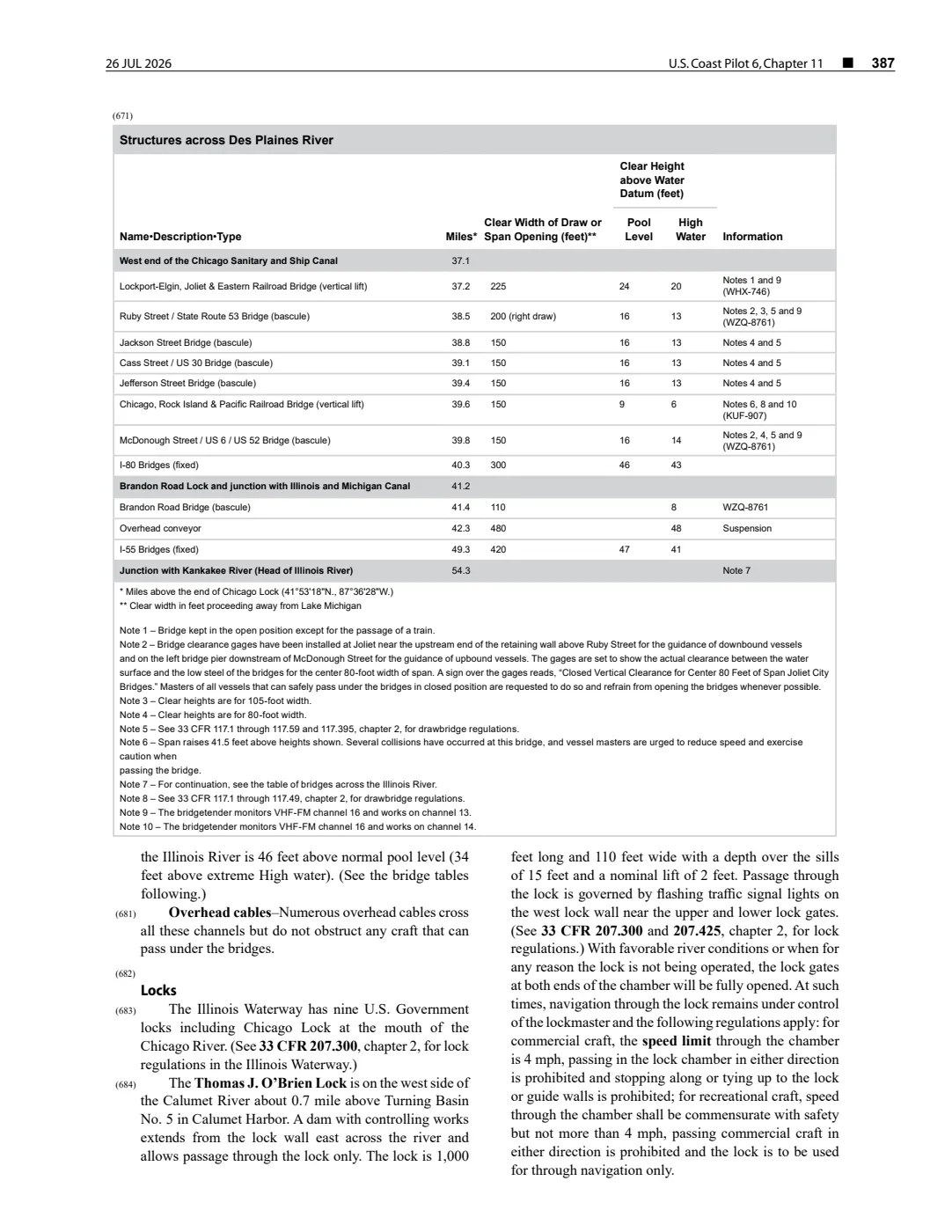
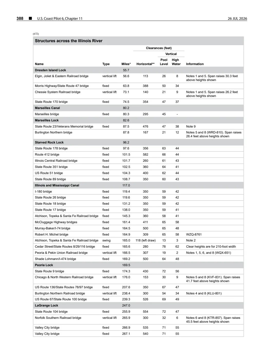
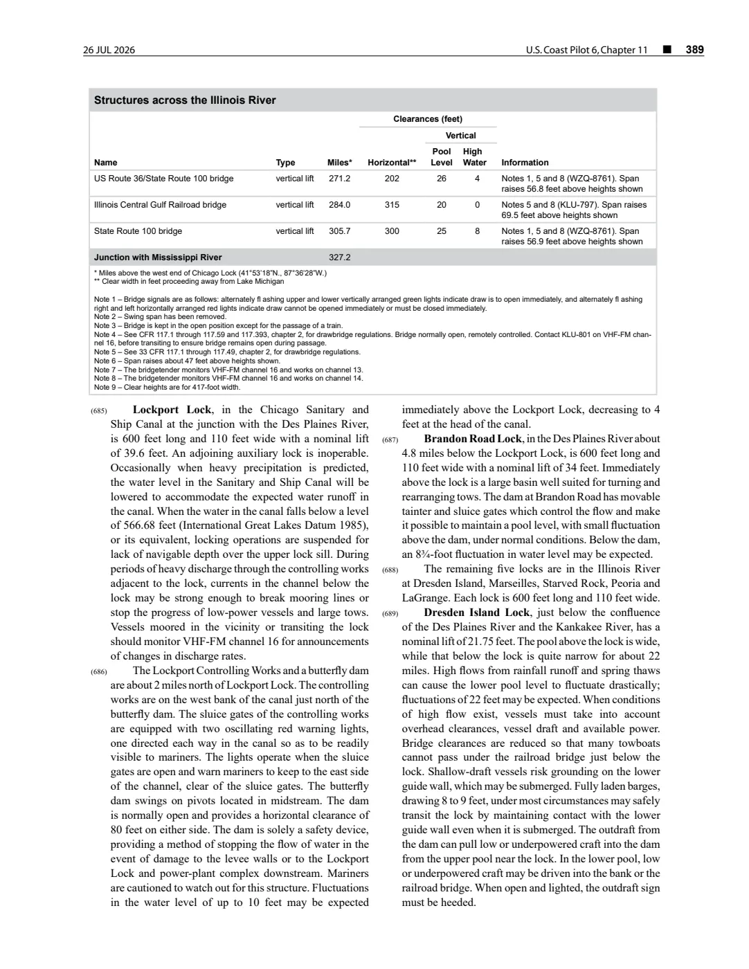
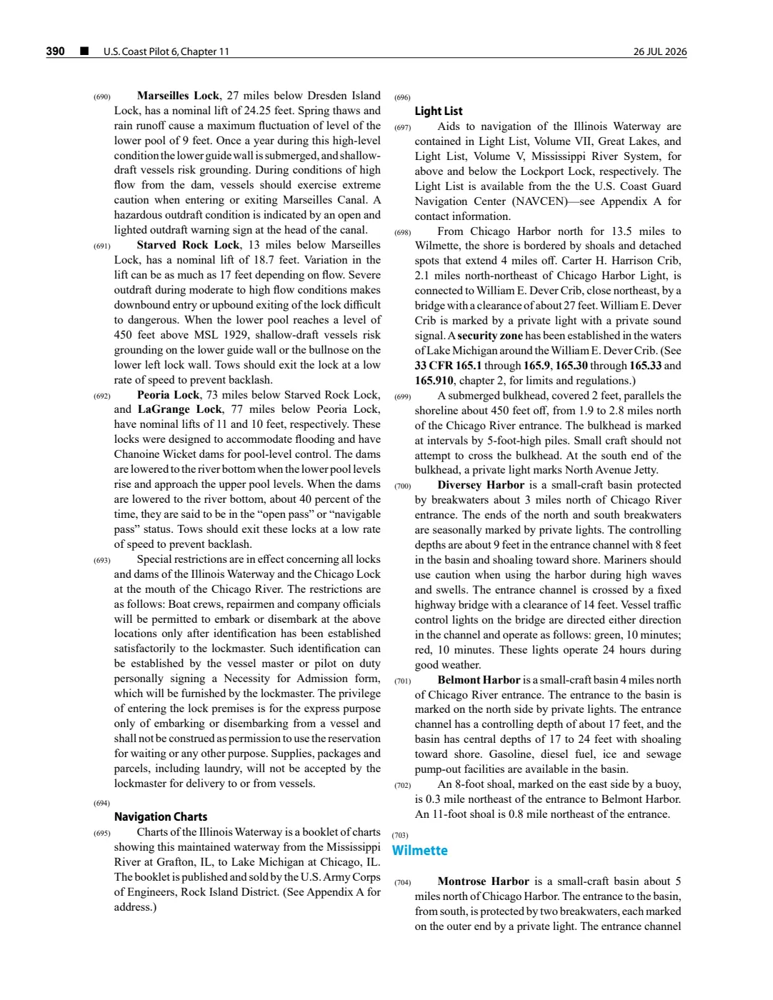
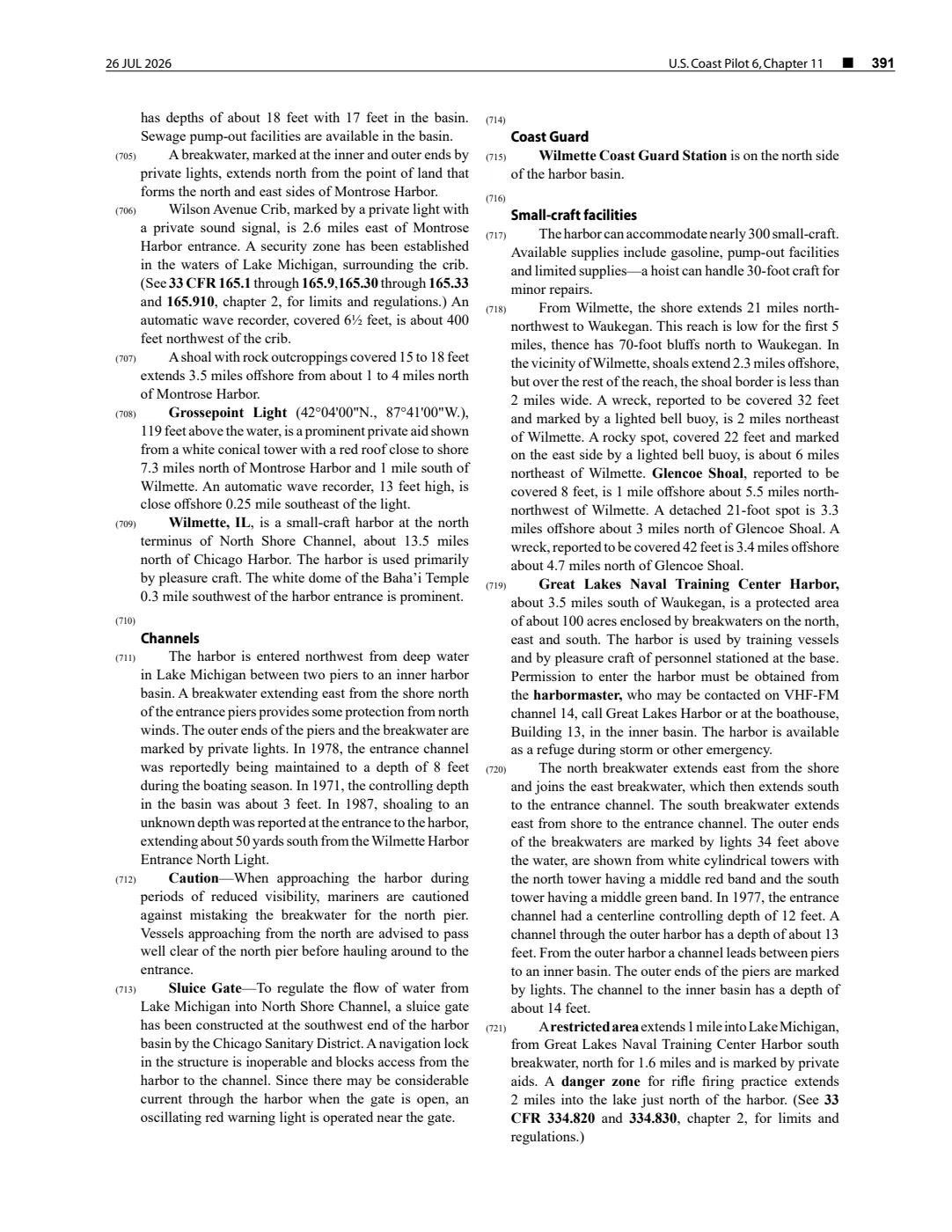
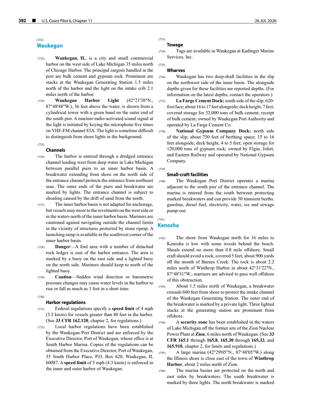
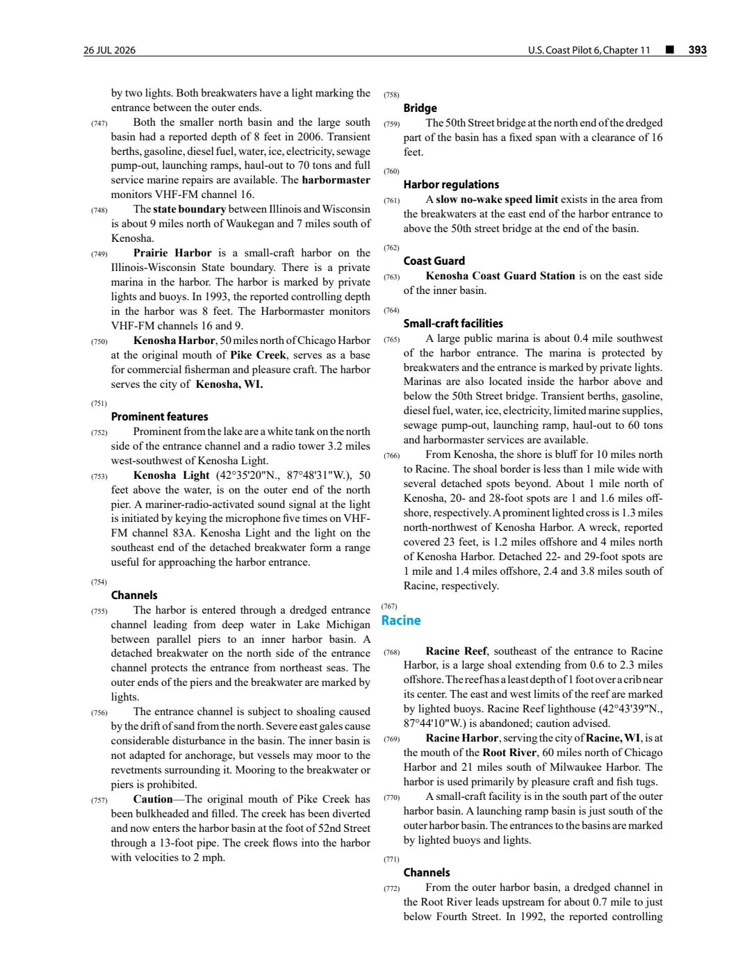
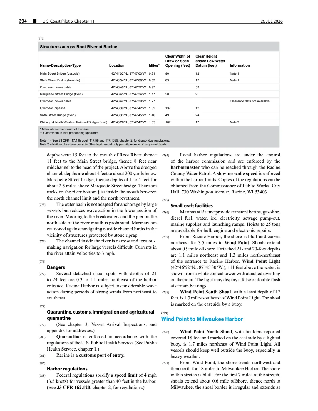
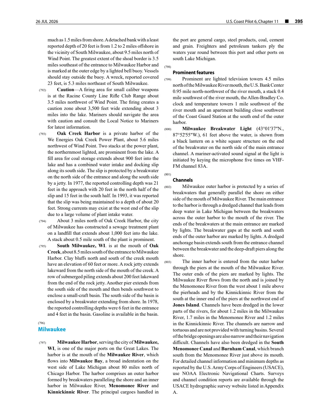
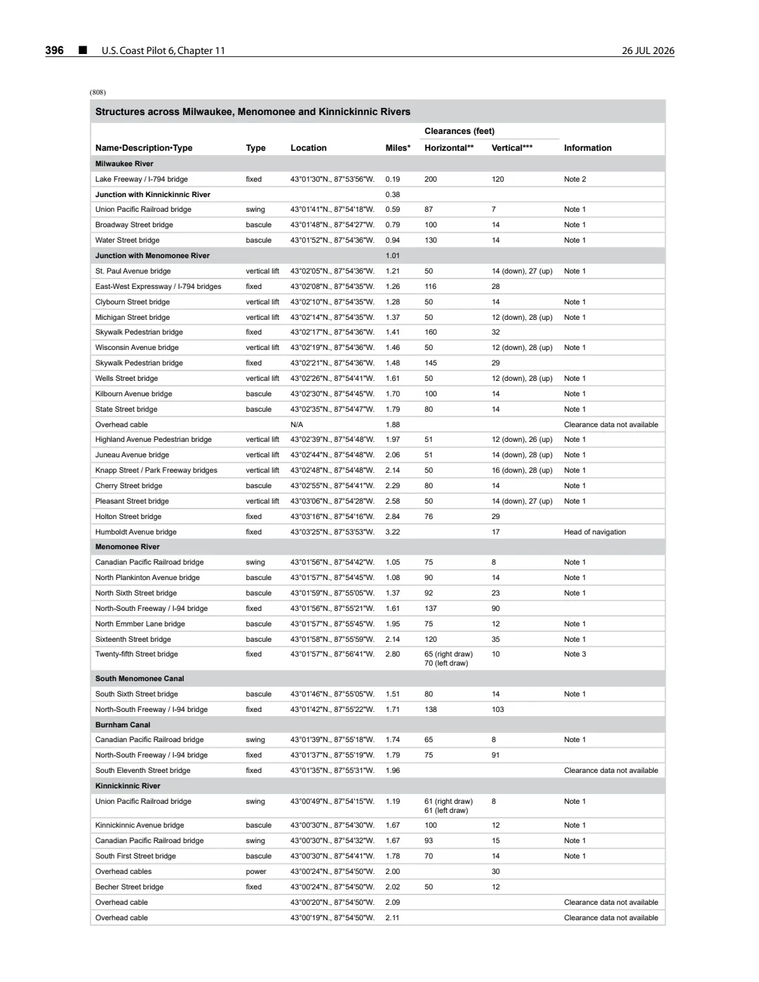
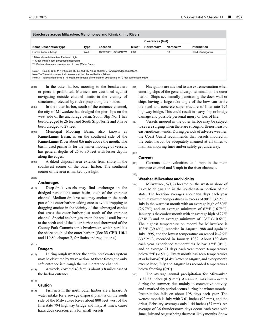
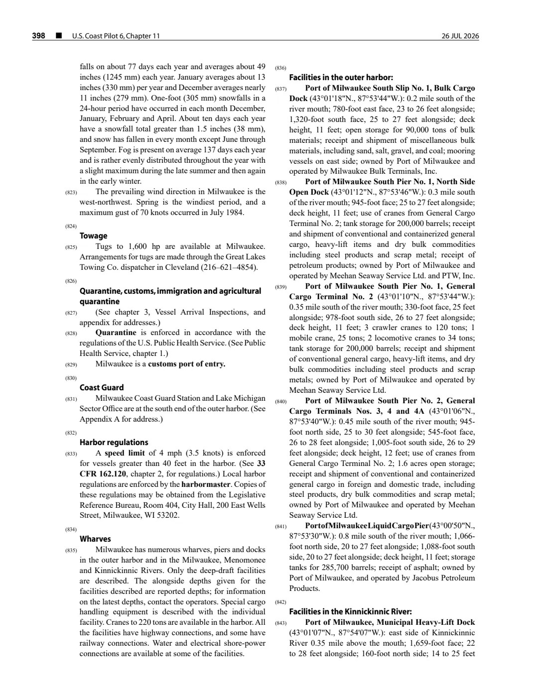
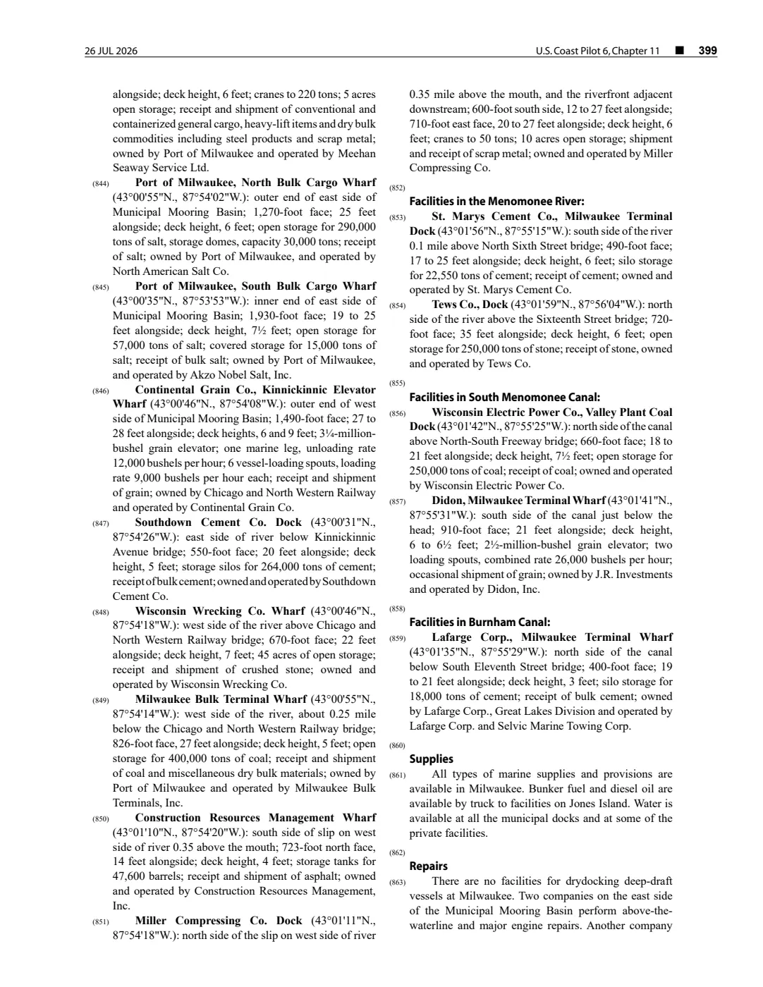
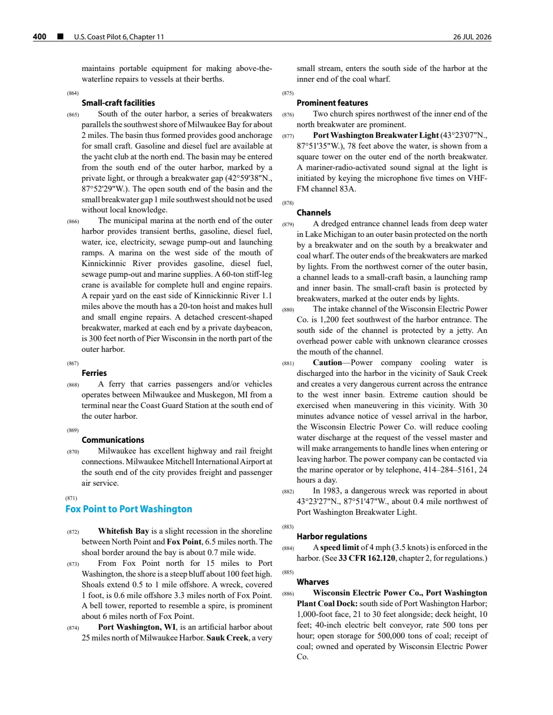
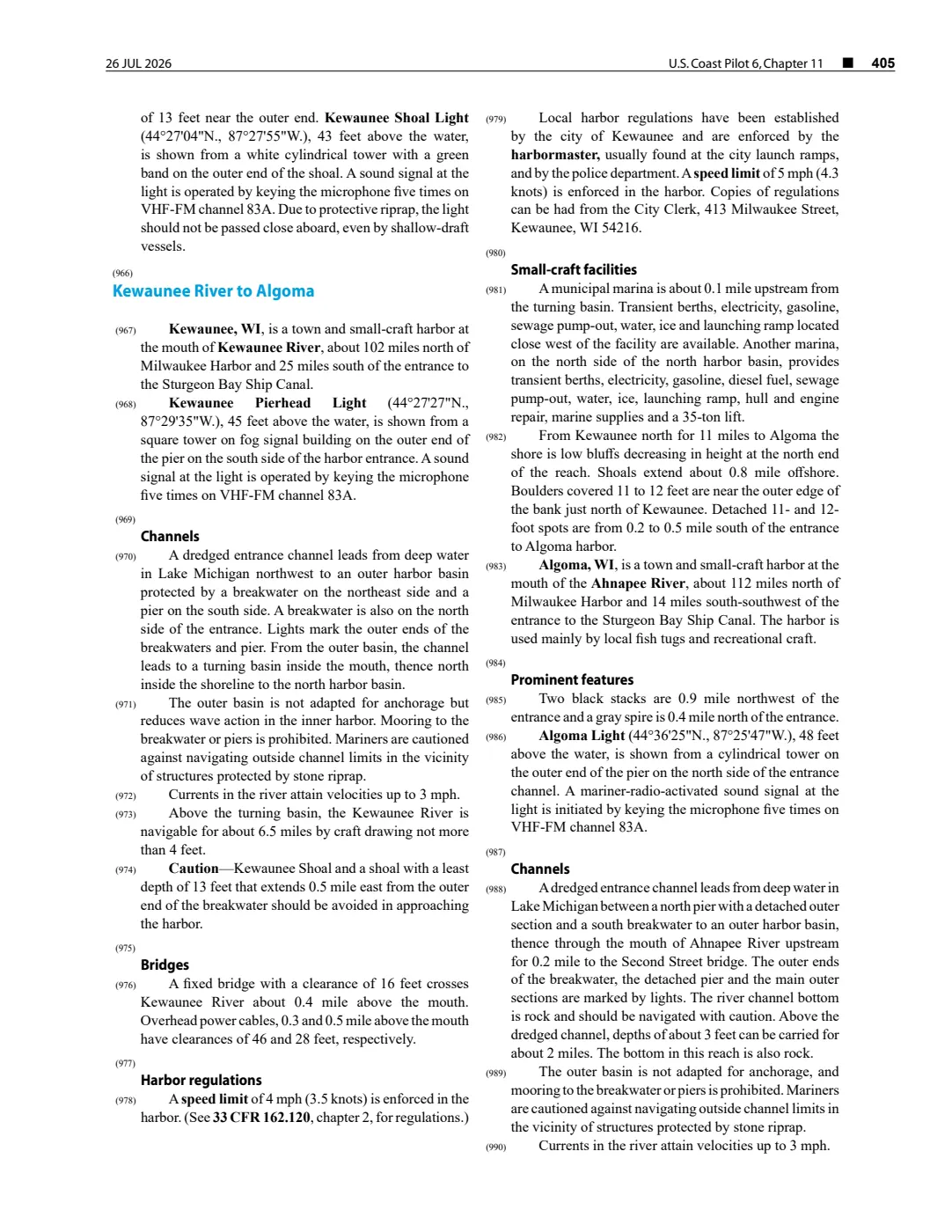
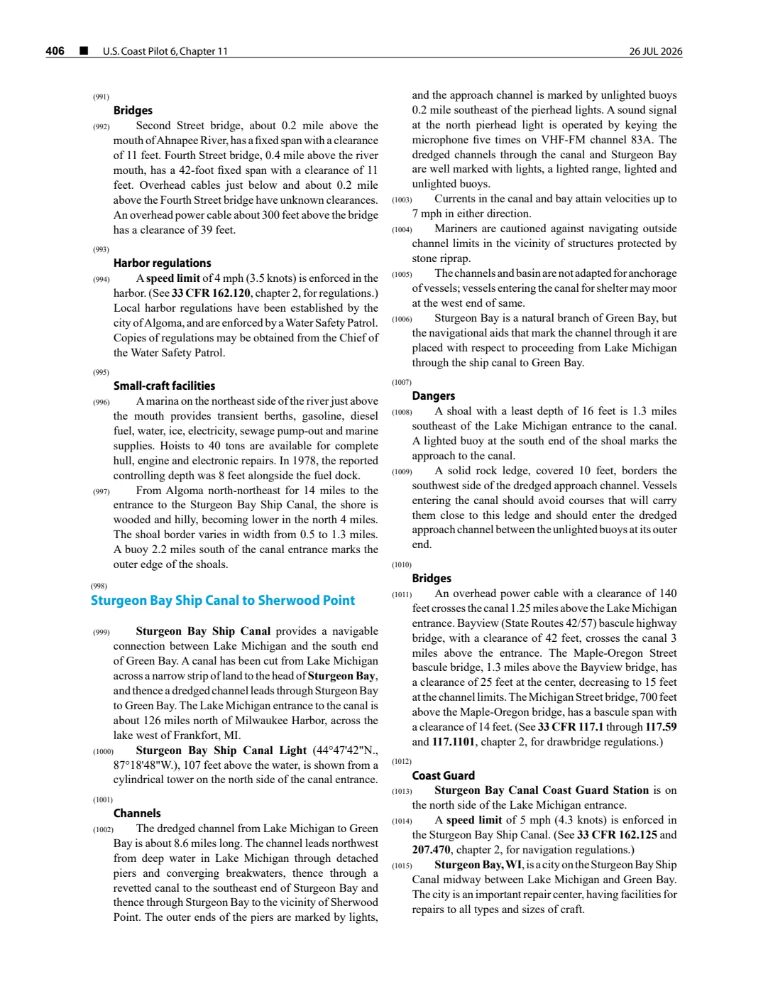
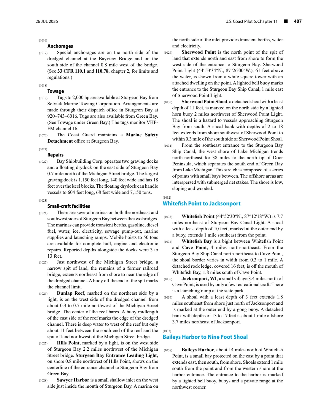
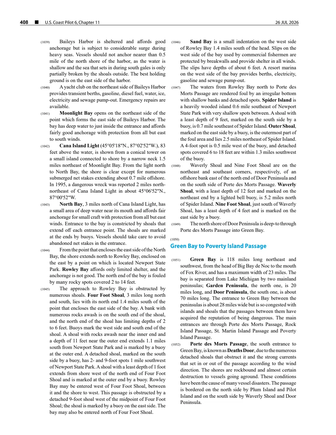
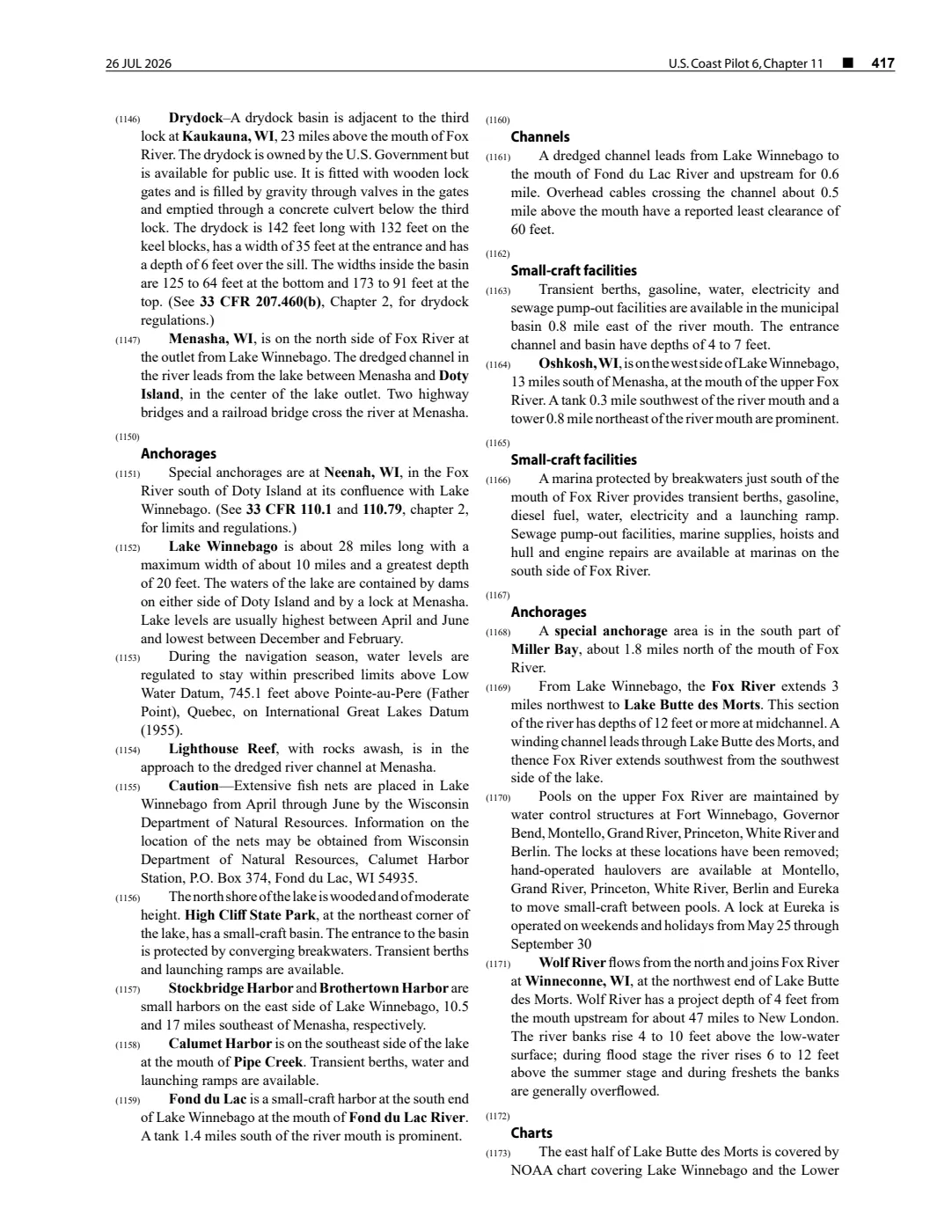
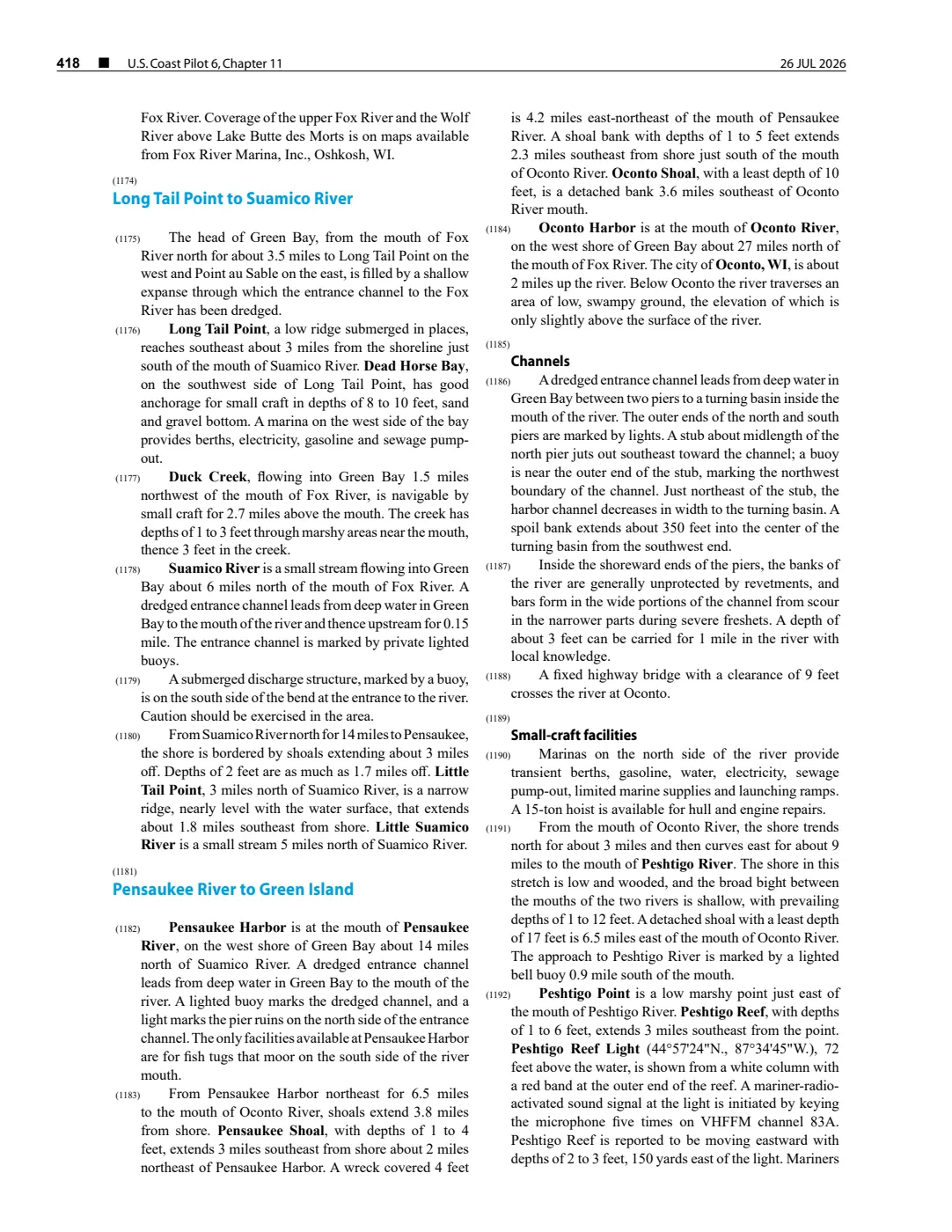
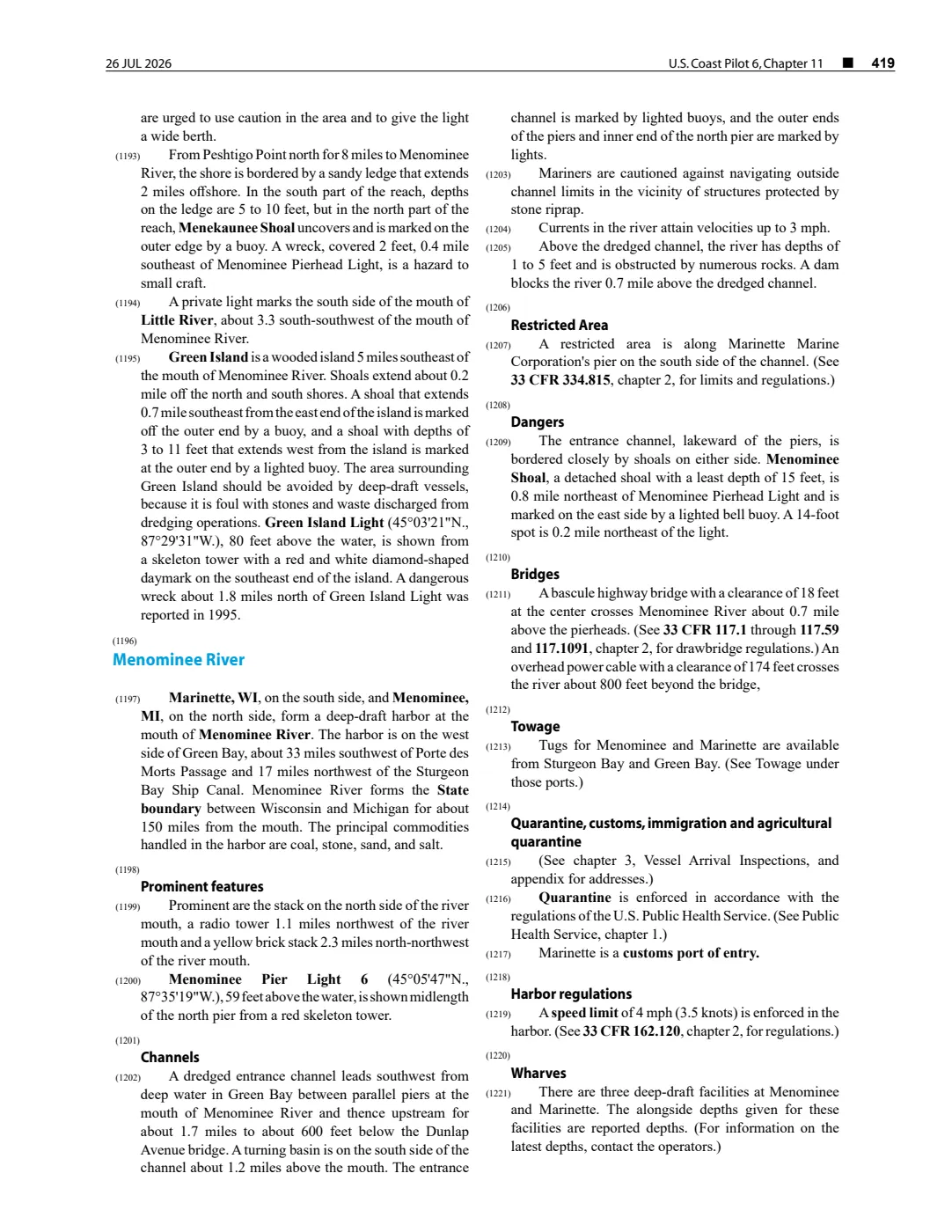
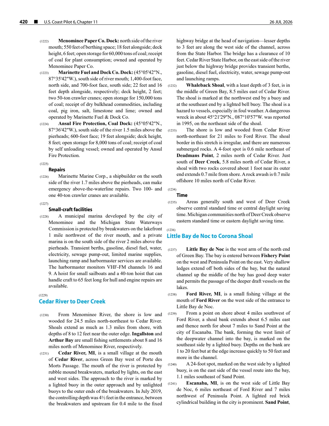
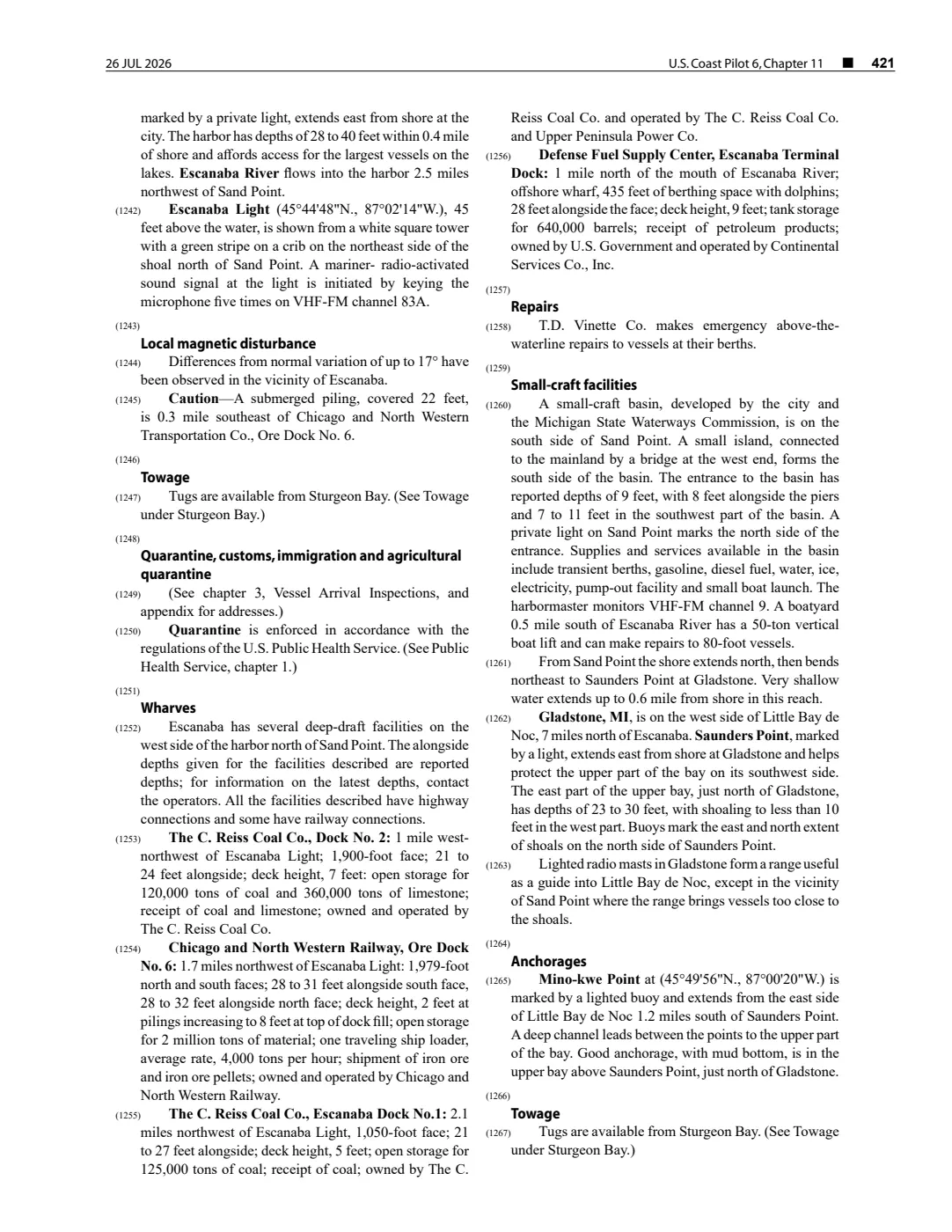
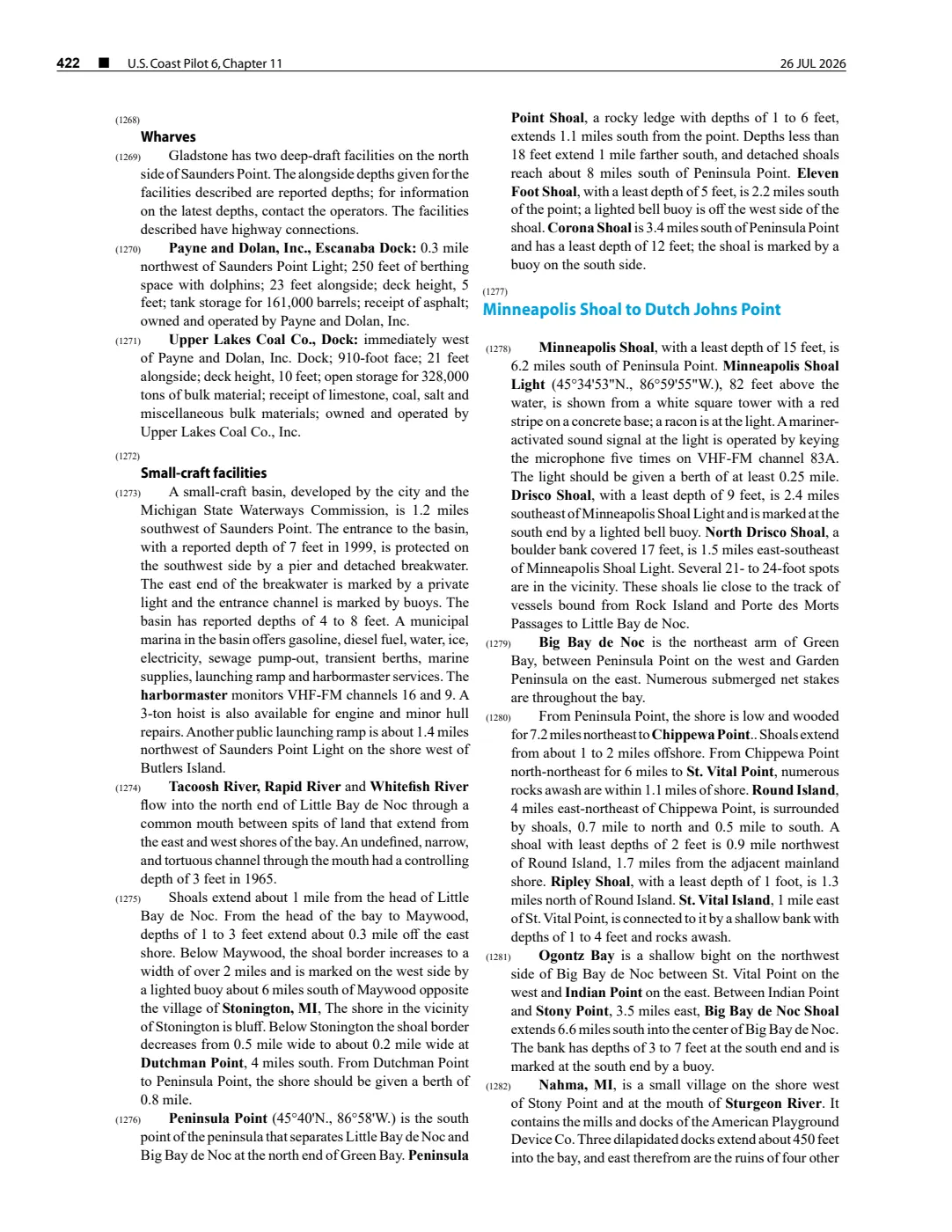
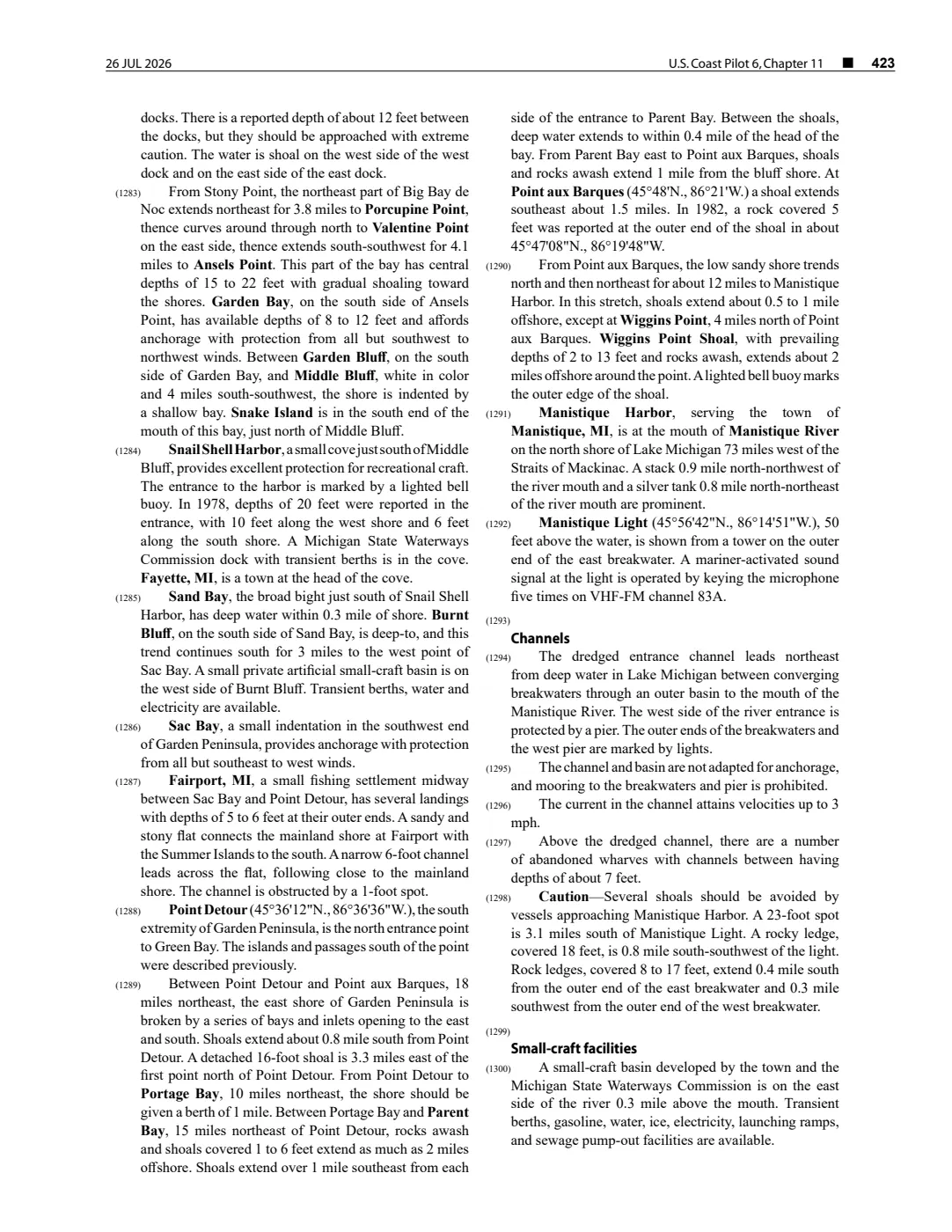
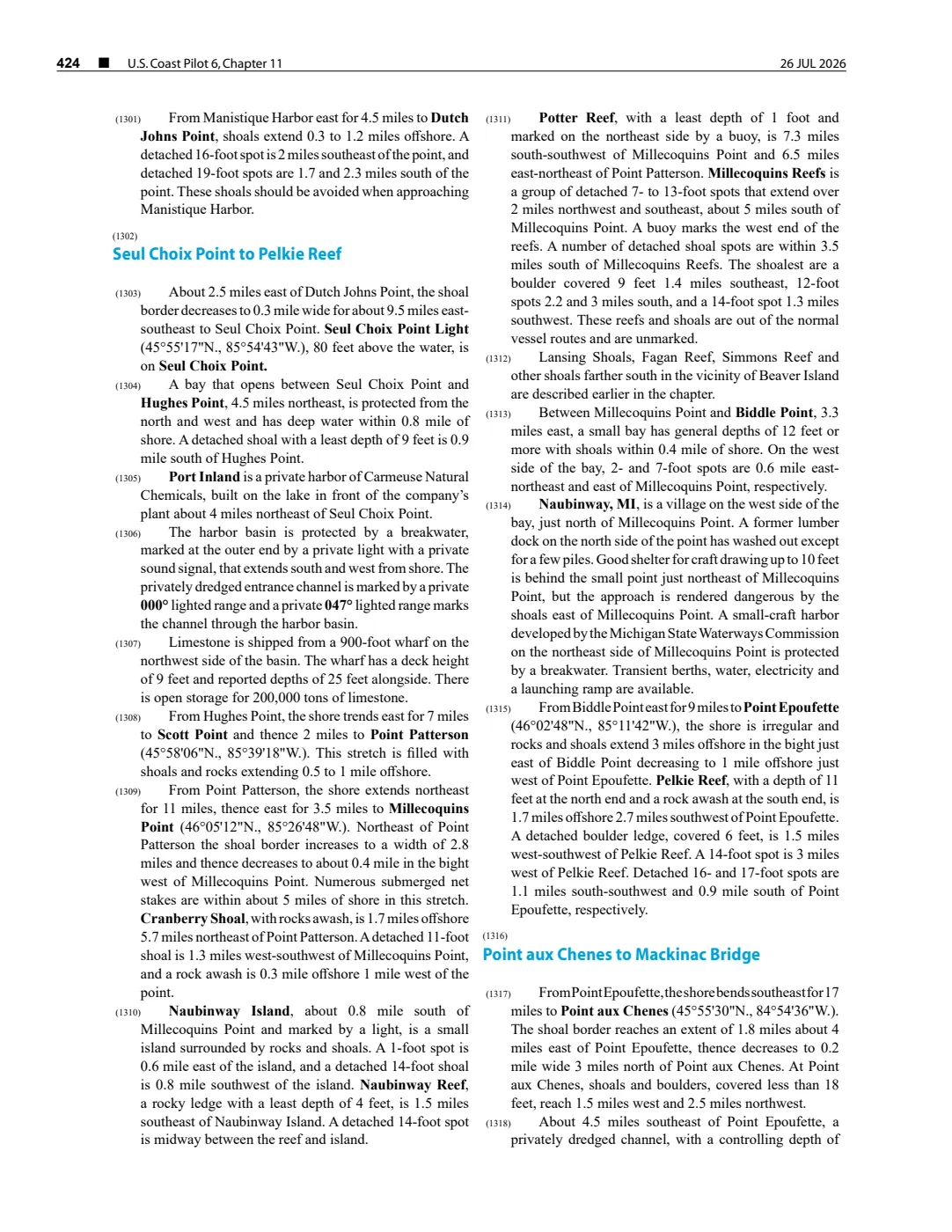
92 pages, rendered from the held scan.
Sources
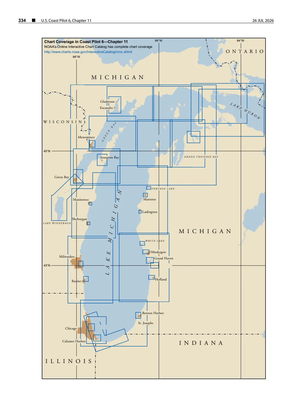
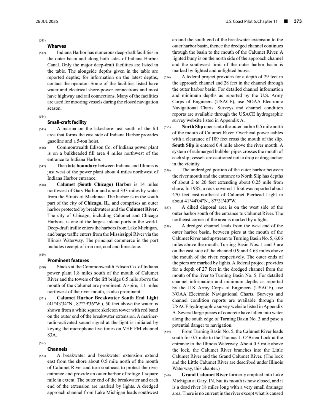
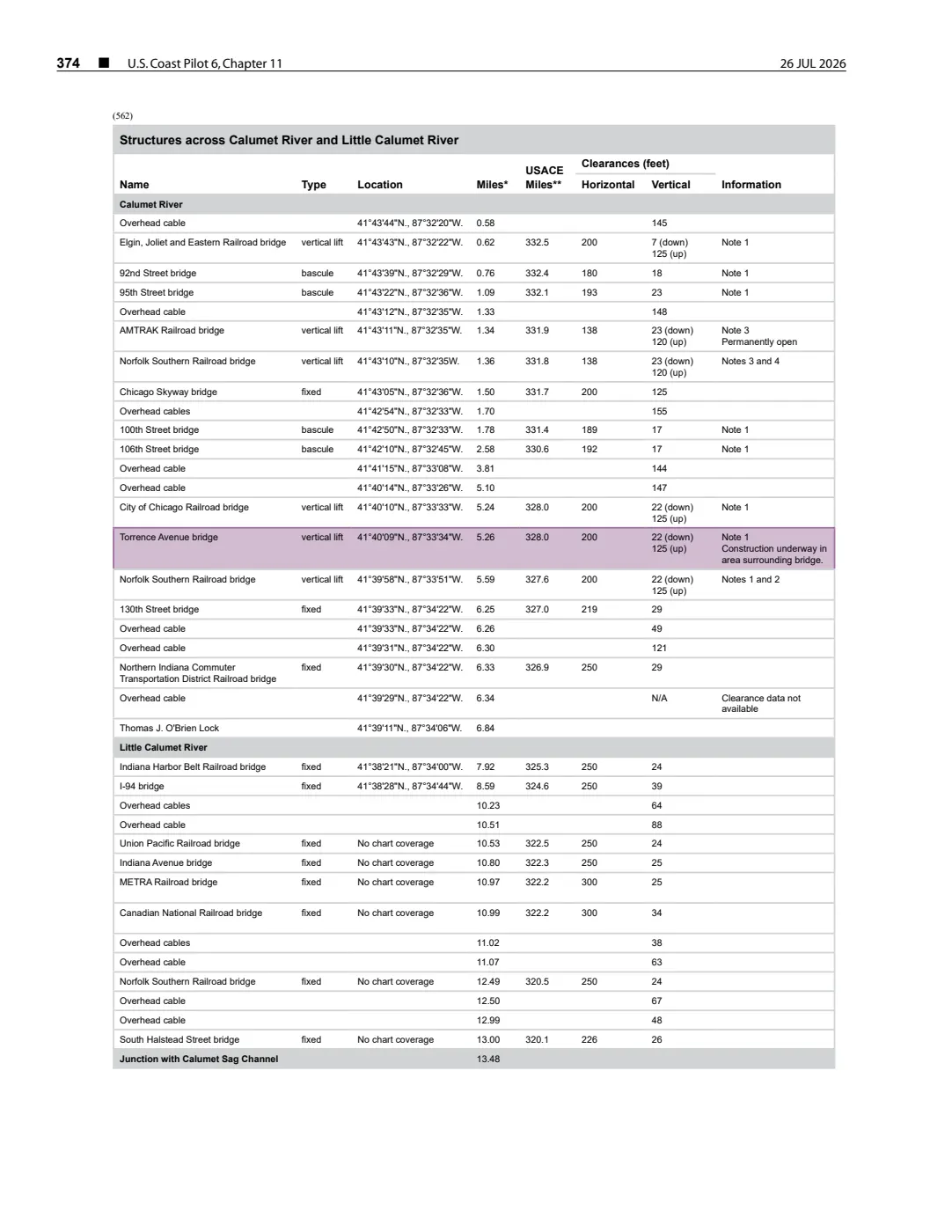
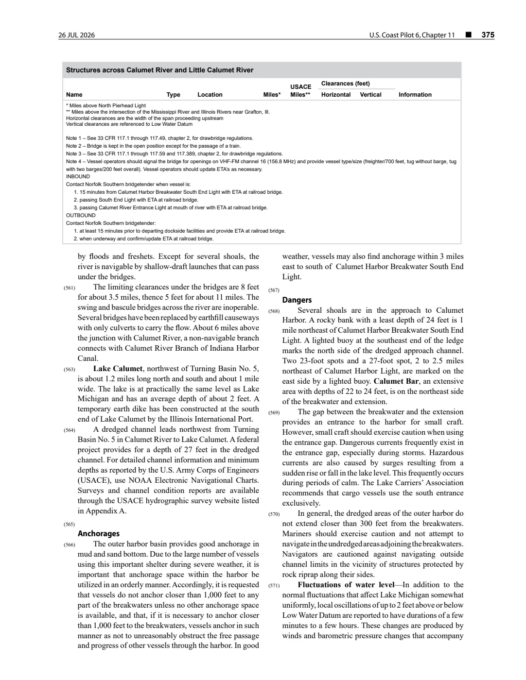
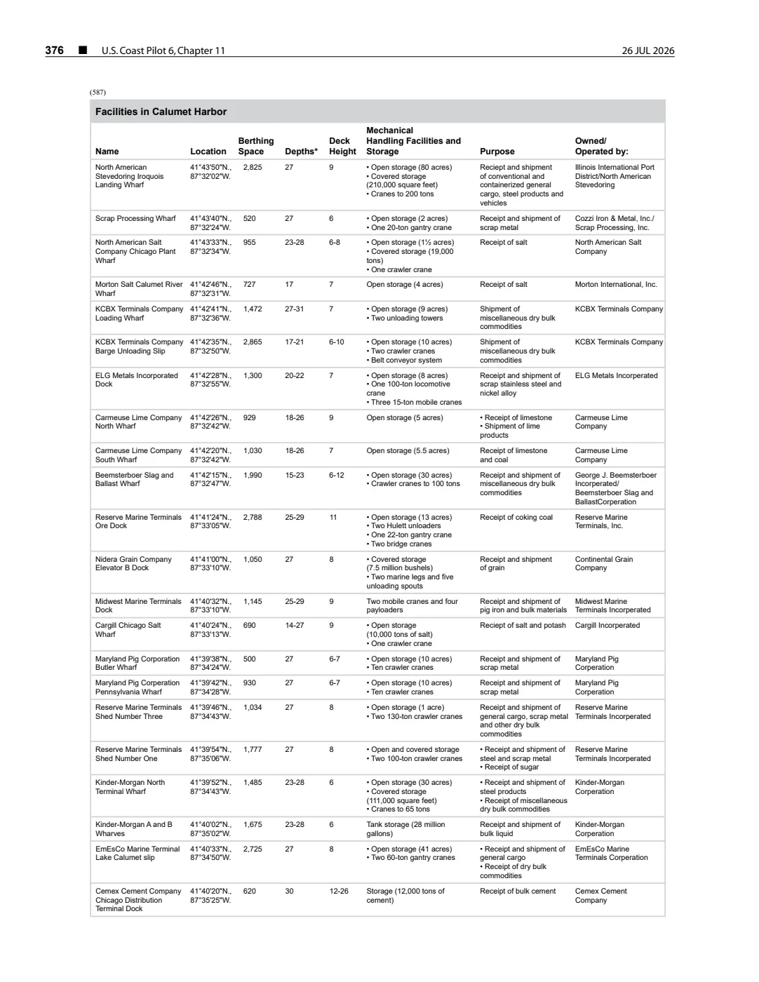
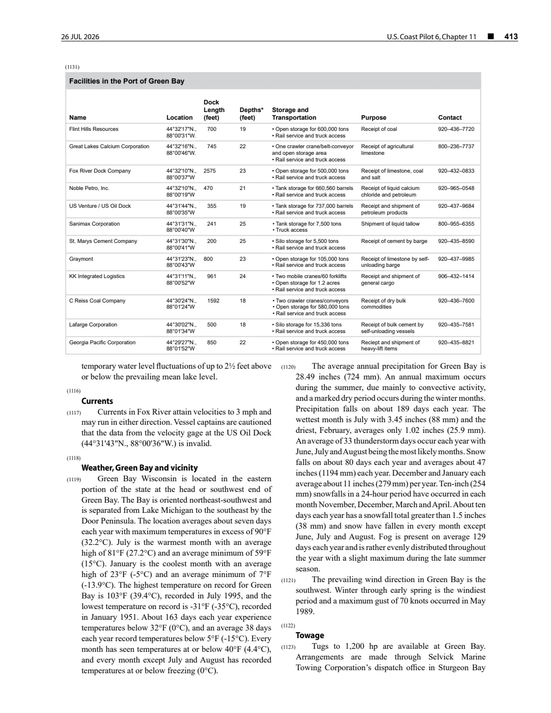
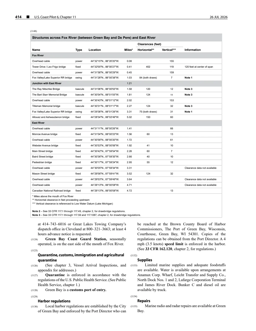
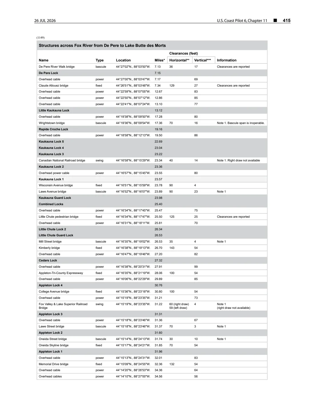
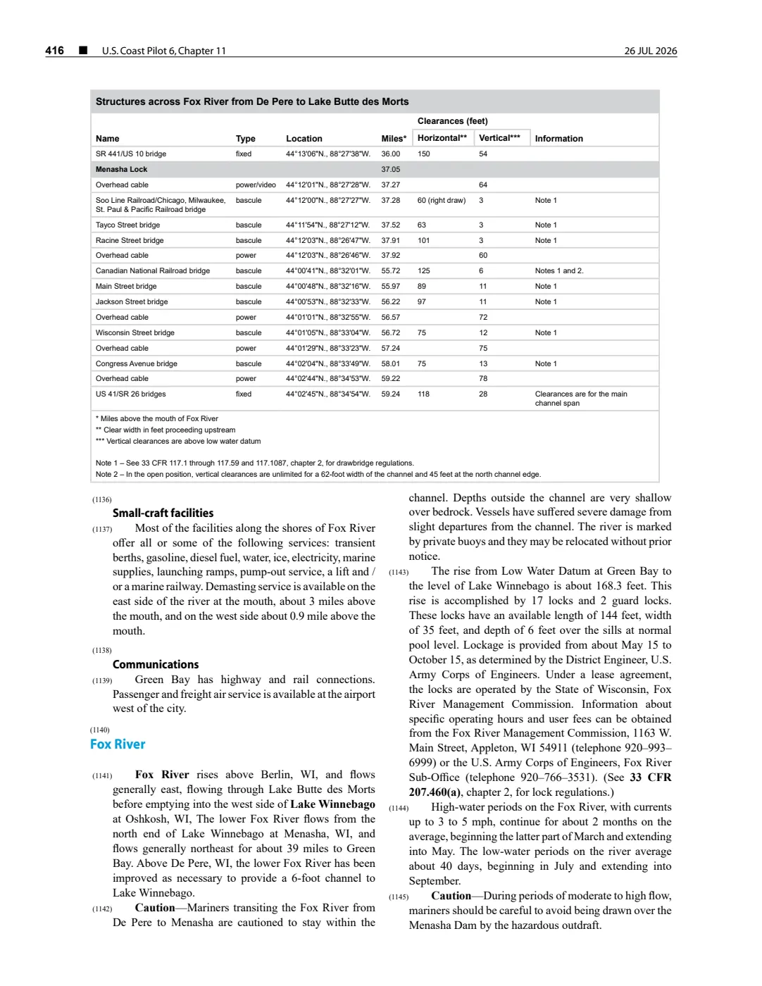
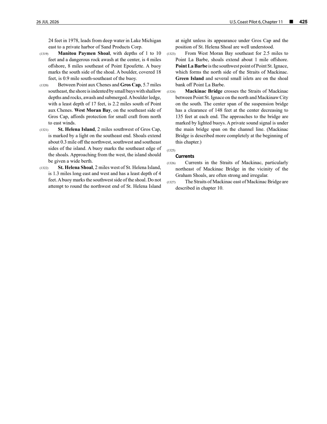
- Described in this archive: NOAA Coast Pilot 6, chapter 11, 26 July 2026 capture.The held 2 August 2026 capture calls Ile aux Galets a small island on the east side of the approach to Grays Reef Passage, and records a light on the island. This dated, revisable navigation description does not supply an island boundary, title, access record, or present condition.federal · noaa_coast_pilot · noaa-coast-pilot-6-chapter-11-2026-08-02
- Described in this archive: GLFC guide for Lake Michigan lake-trout rehabilitation, 2008.Lists Ile aux Galets in the East Beaver Group for lake-trout rehabilitation. The grouping is a management construct, not an island boundary, traditional-territory assertion, or complete fishing history.geology · publications · glfc_2008_lake_trout
- Lighthouse map point used as a representative coordinate for the island; the two returned lighthouse points are close but do not establish the island polygon or shoreline boundary.
Added 2 August 2026. Recent changes
Cite this article
Beaver Island Archive, “Ile aux Galets”, https://beaverislandarchive.org/places/iles-aux-galets/, accessed [date], citing National Oceanic and Atmospheric Administration, *U.S. Coast Pilot 6*, chapter 11, revision dated 26 July 2026, paragraph 146. (and 2 further sources listed on the page).
Last revised 2026-08-02. Fill in [date] with the date you read it — this page is static and cannot know that.