

- Date
- 1942
- Eras
- Modern era
- Concepts
- environmentforestswetlandsgeologyconservationland-survey
- Within
- Beaver Island archipelago
Summary
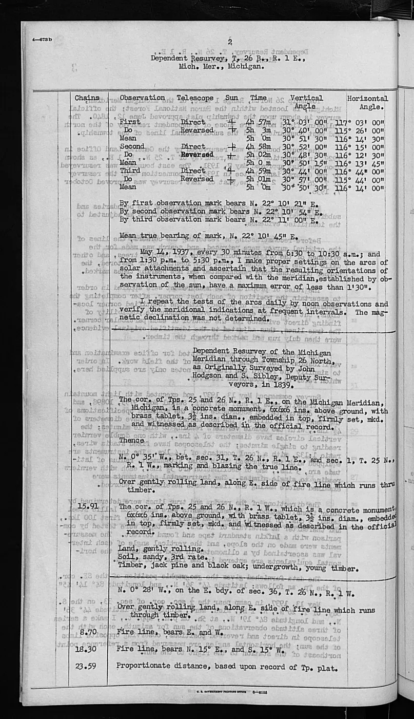
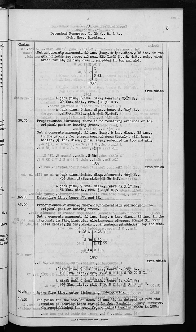
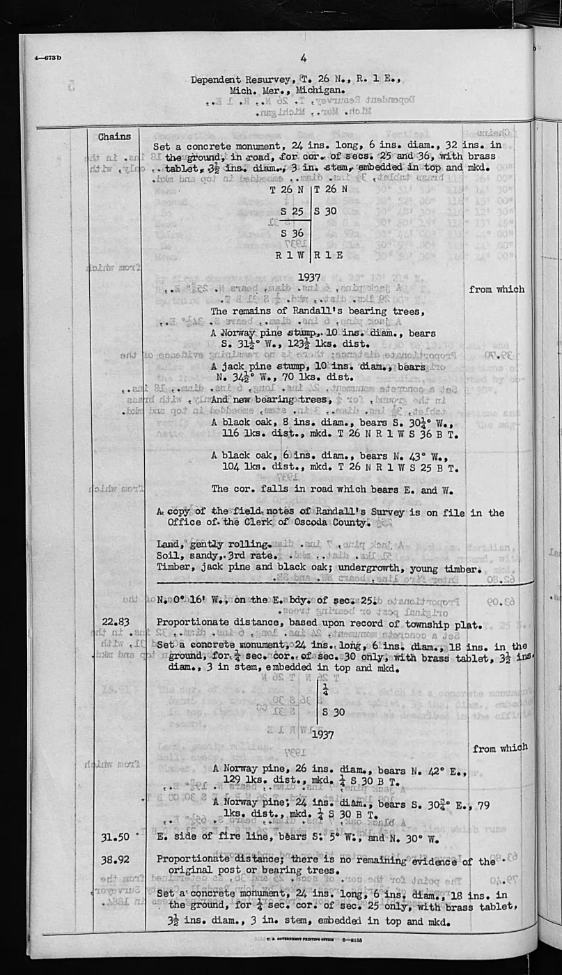
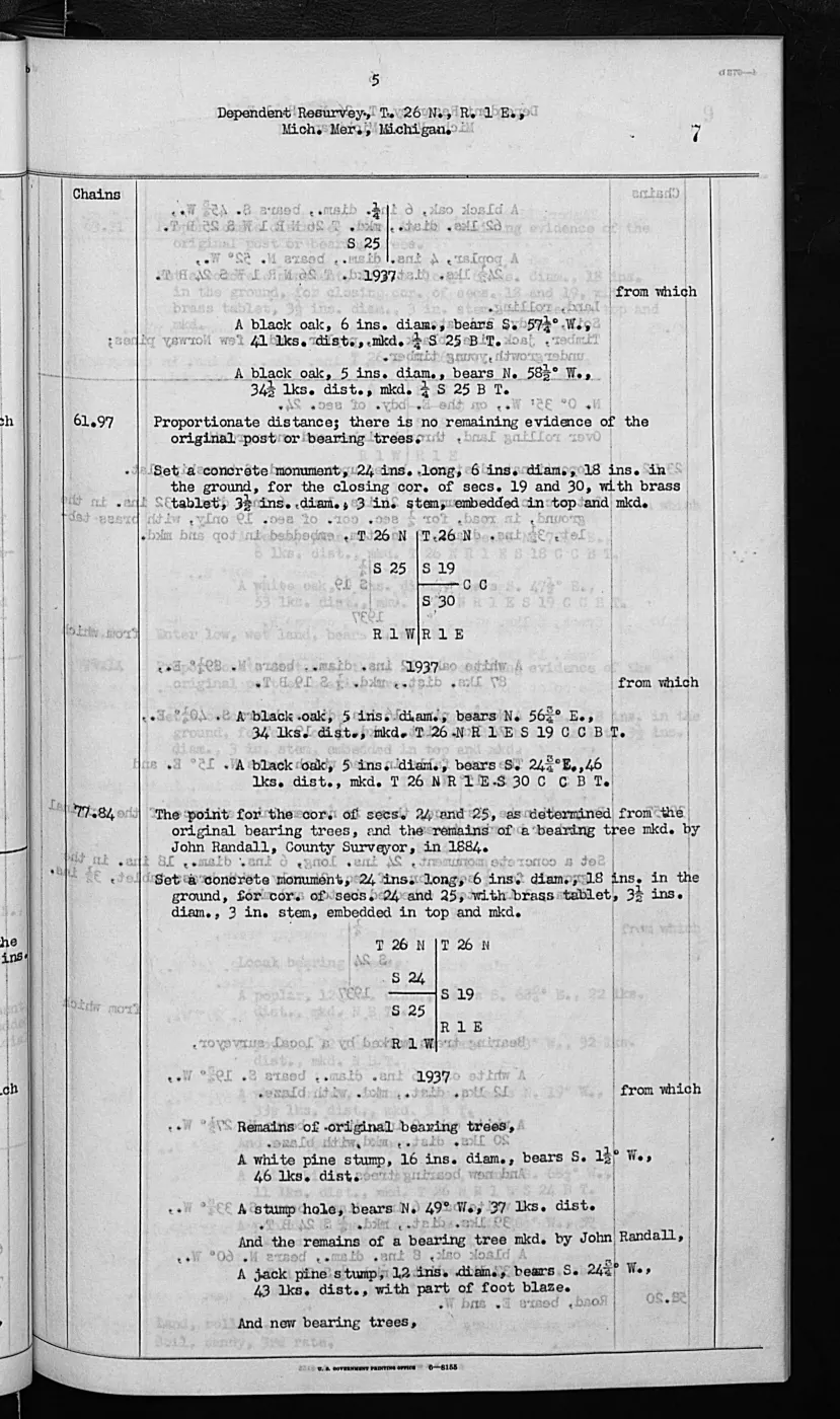
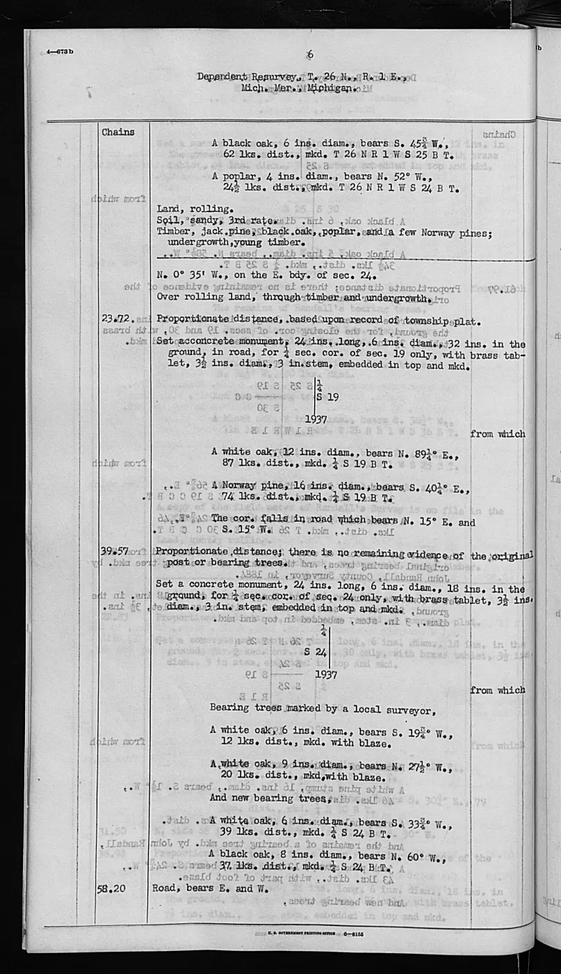
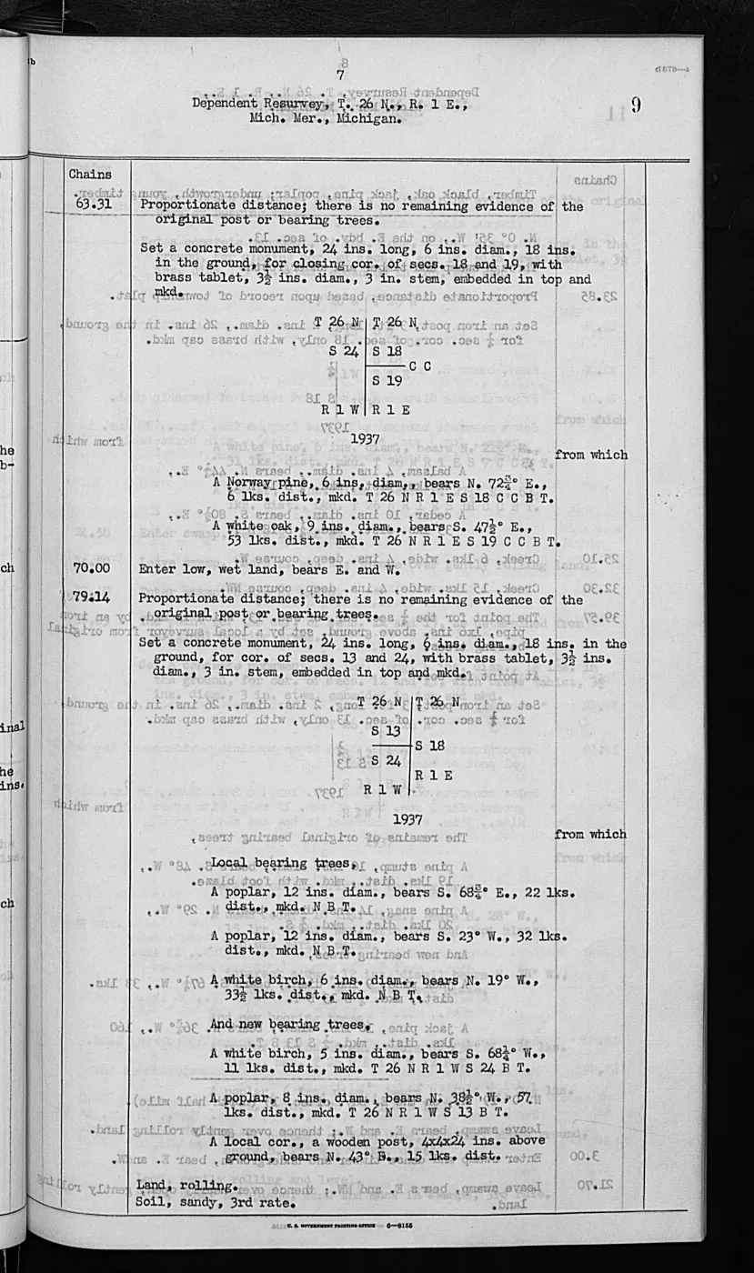
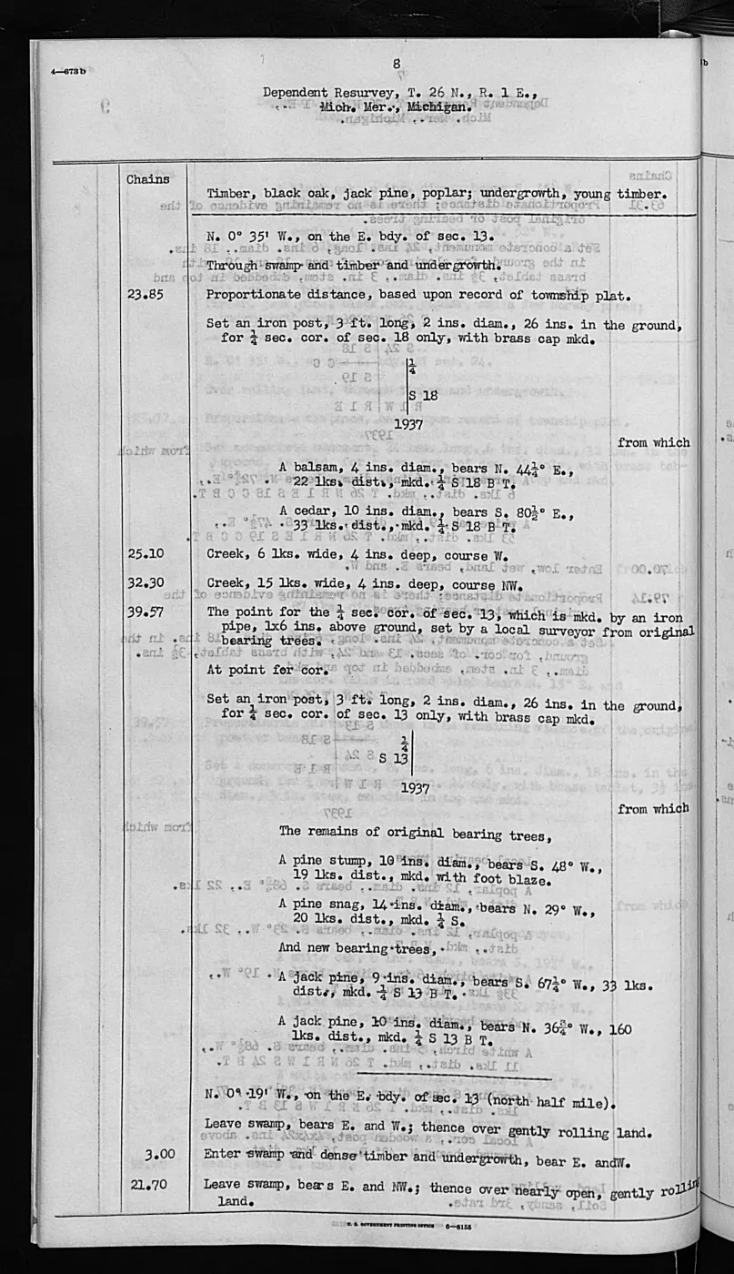
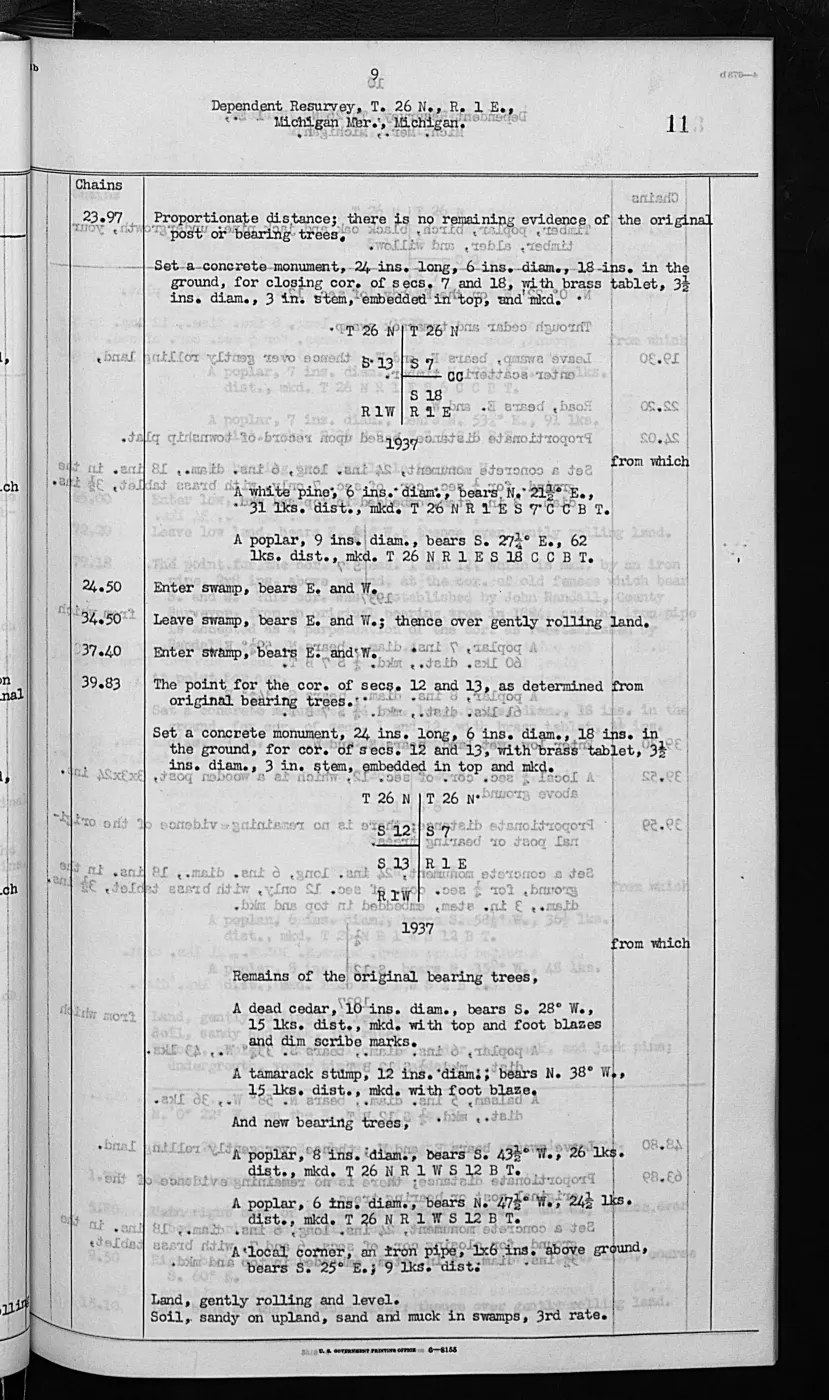
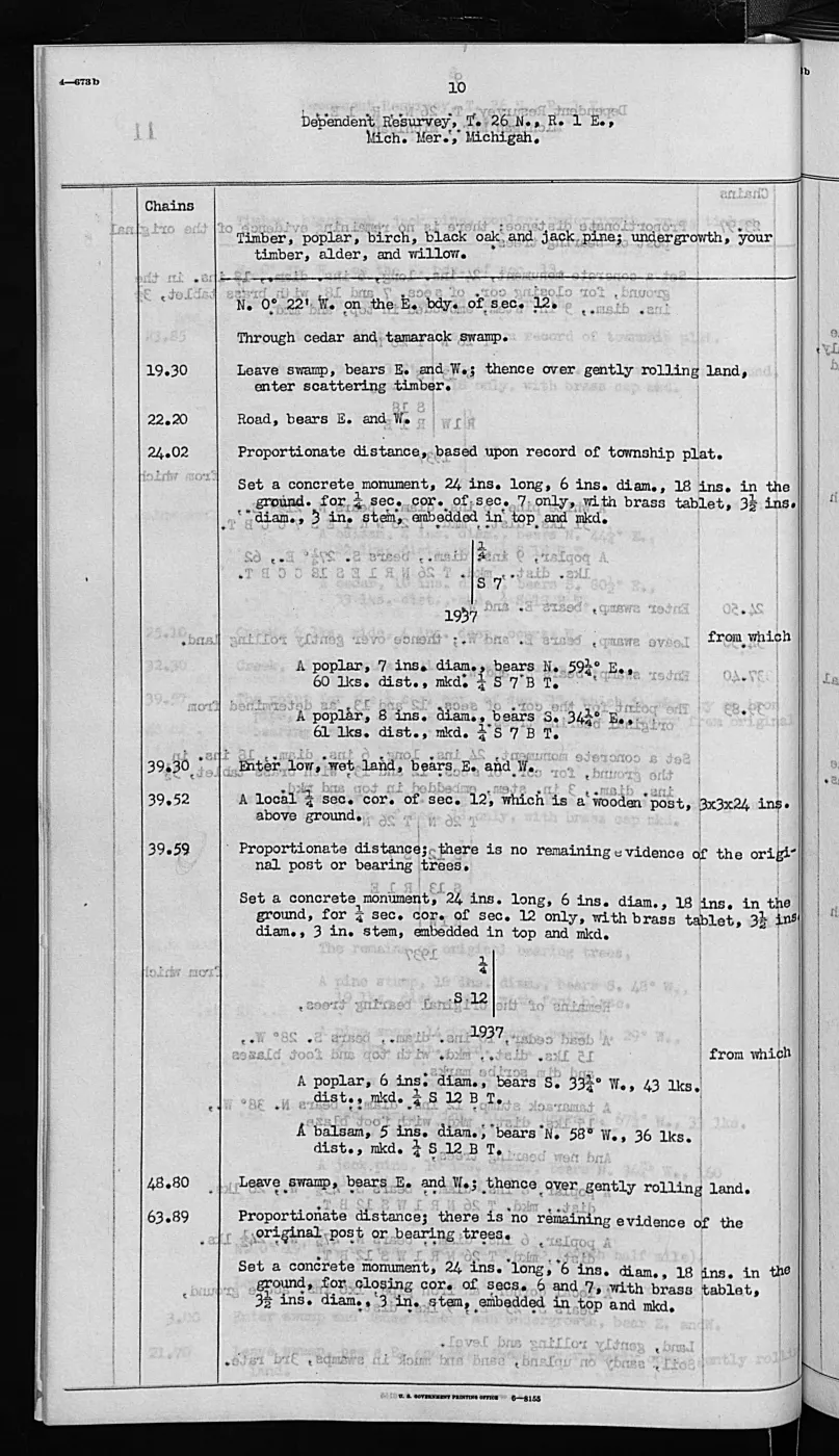
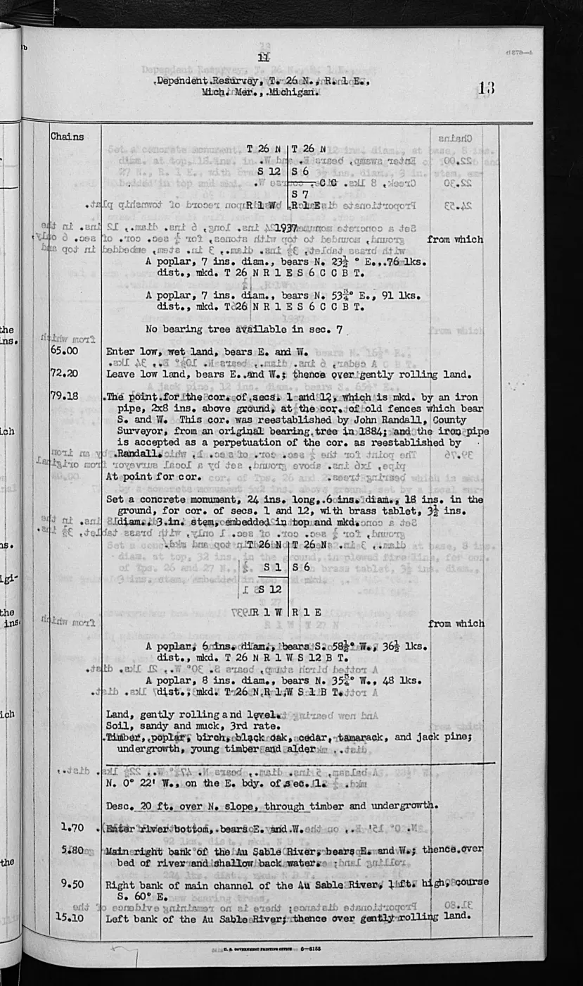
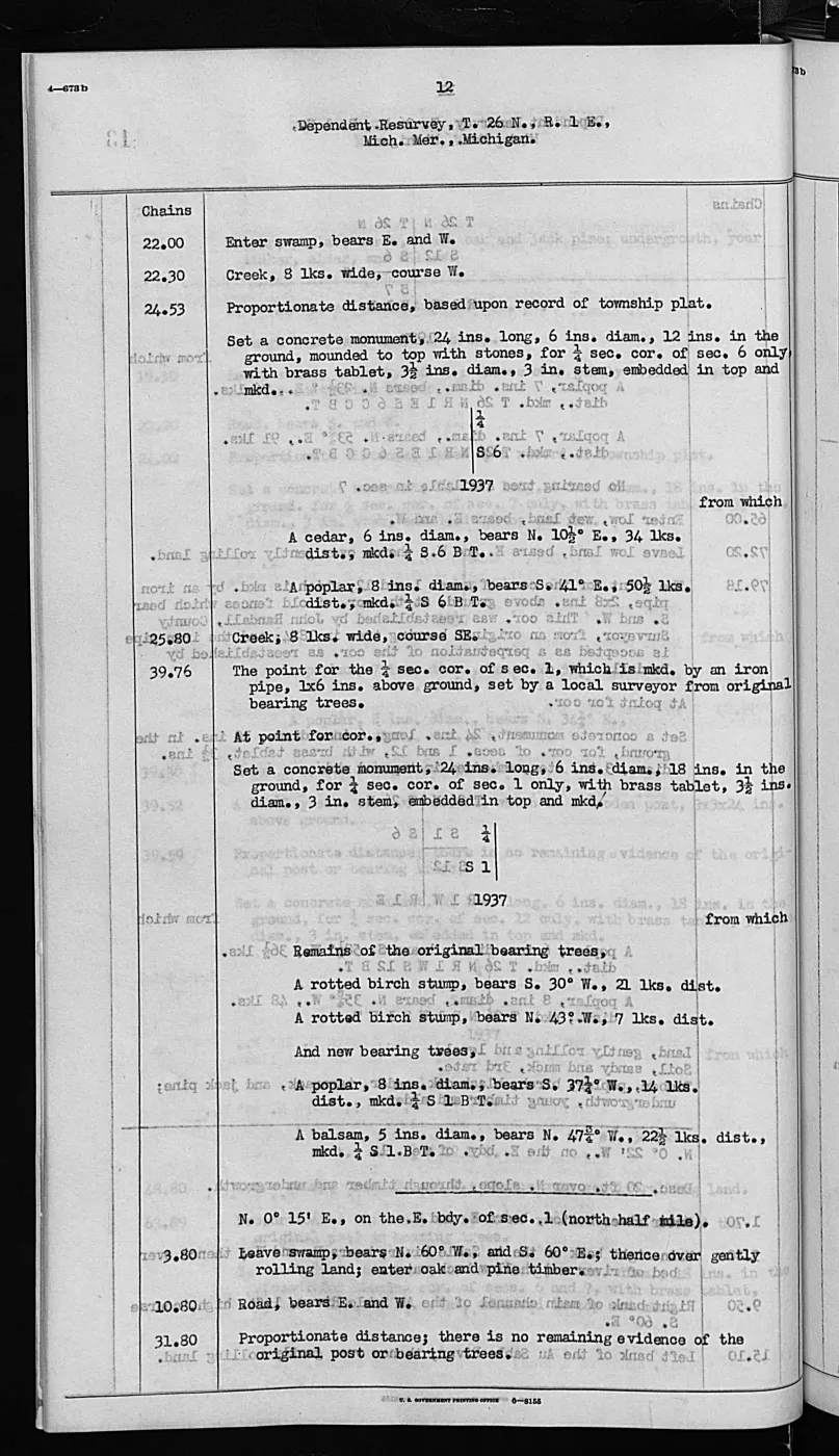
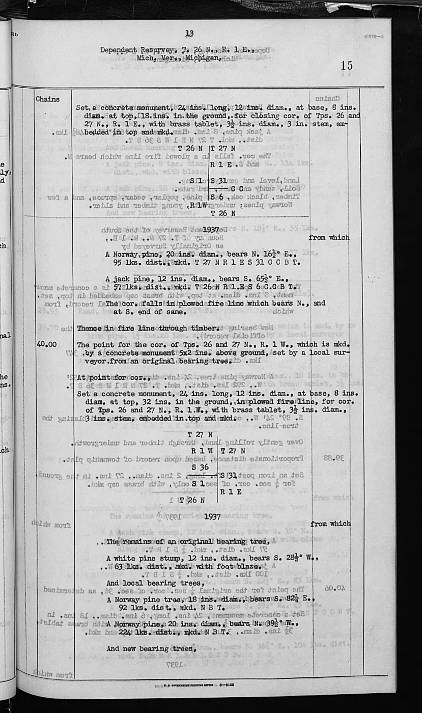
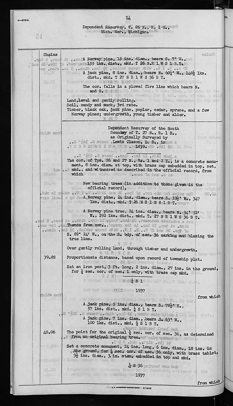
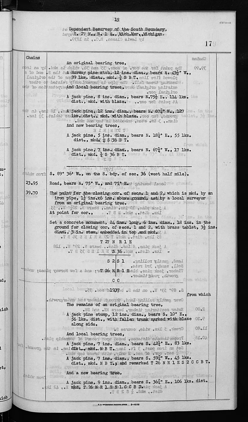
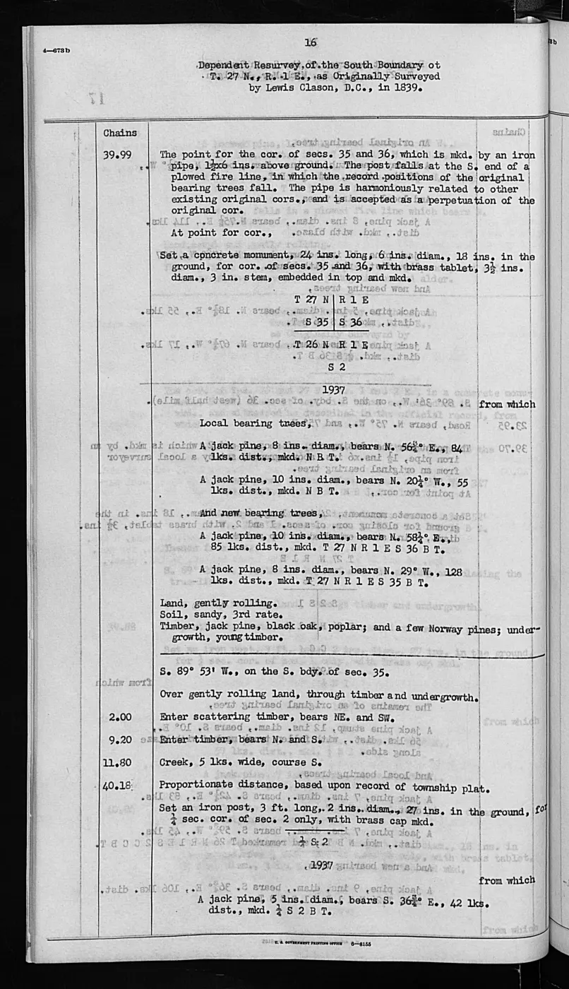
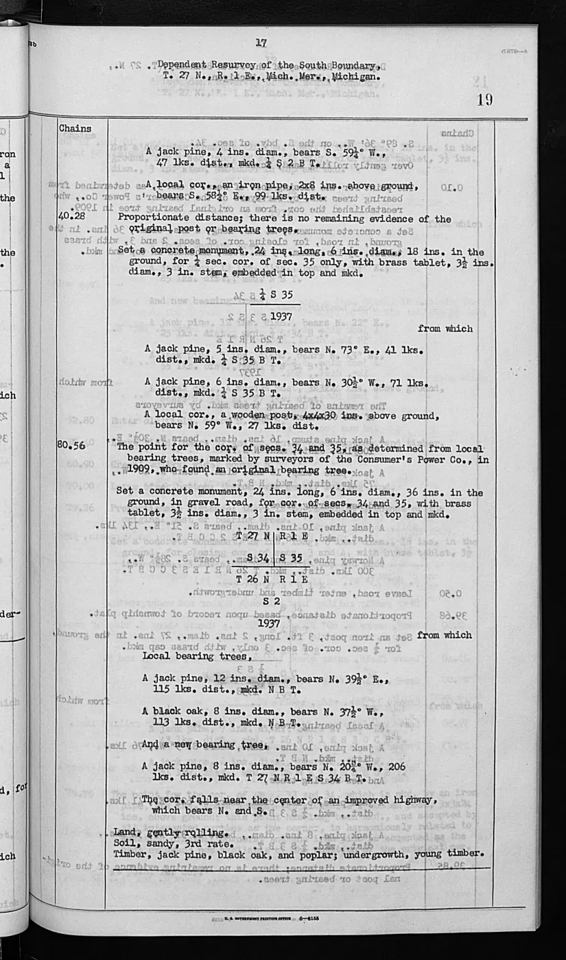
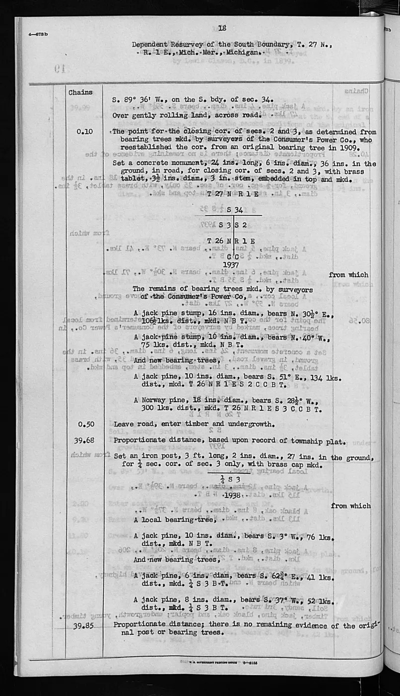
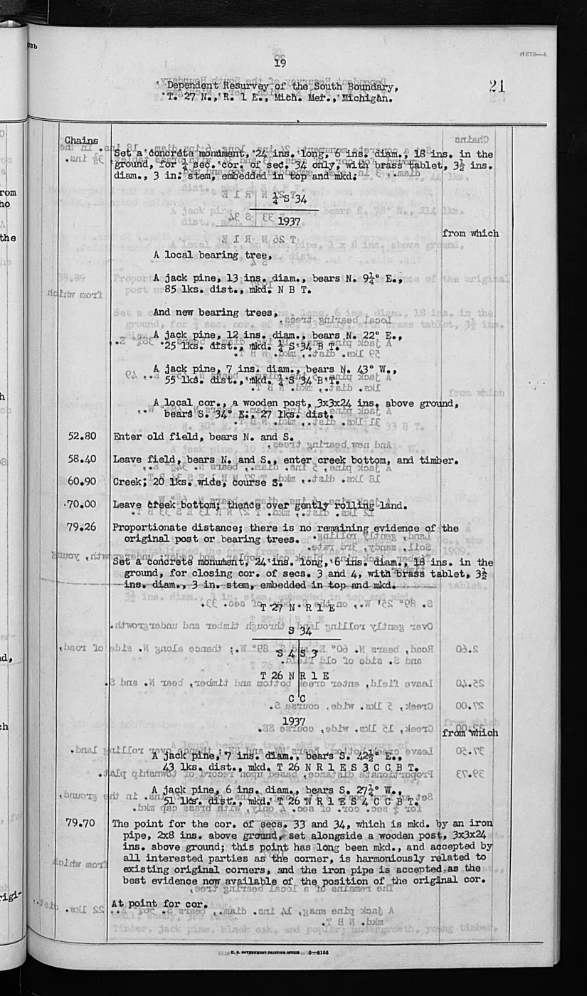
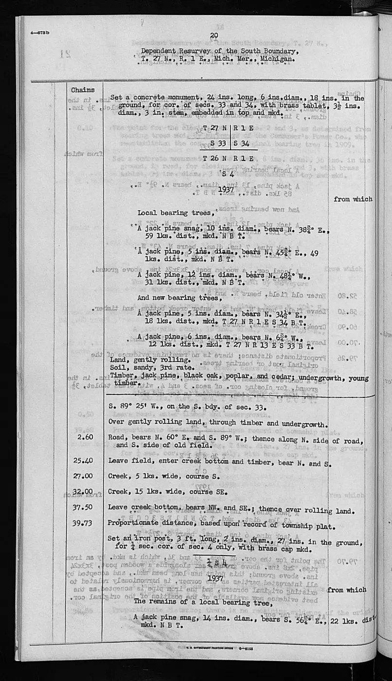
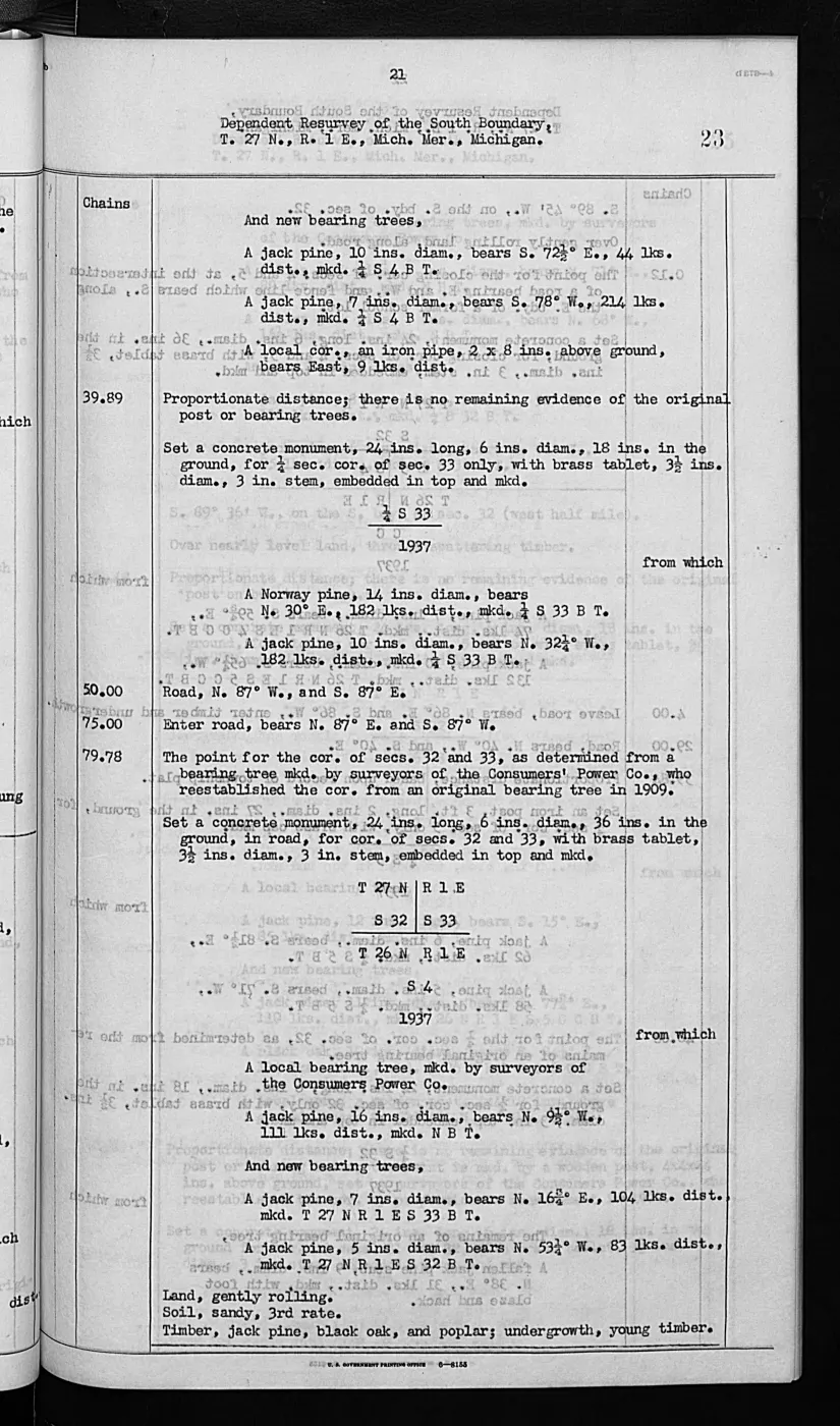
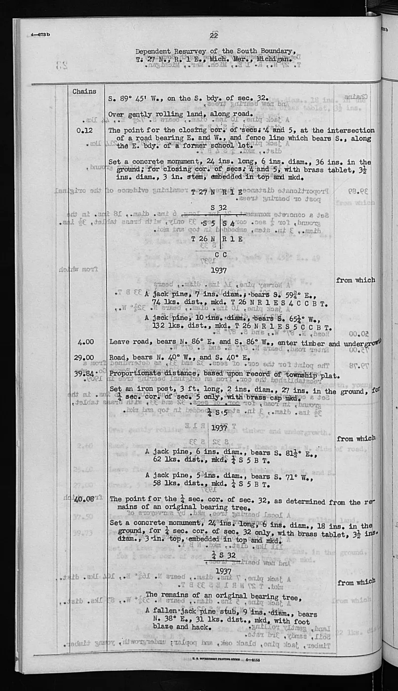
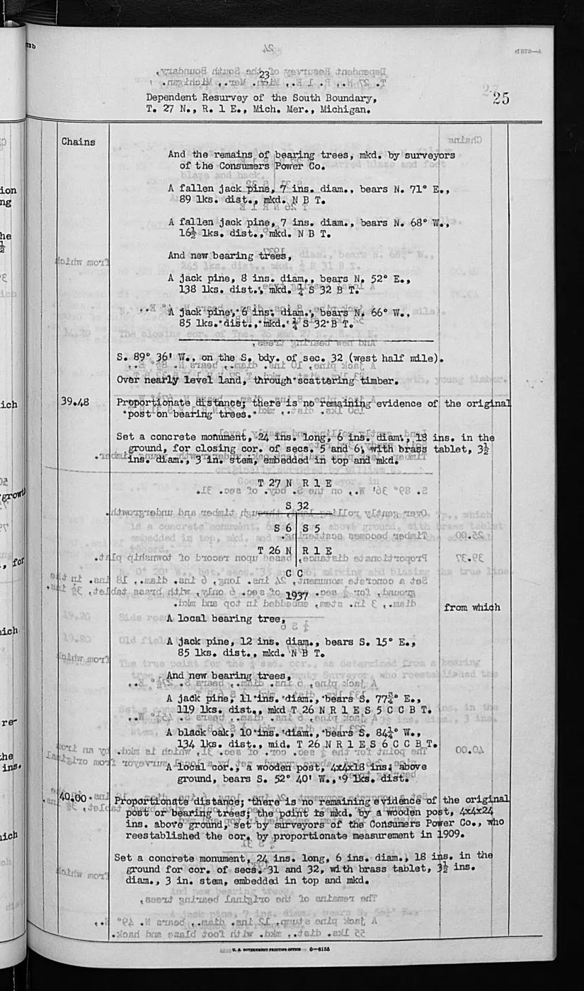
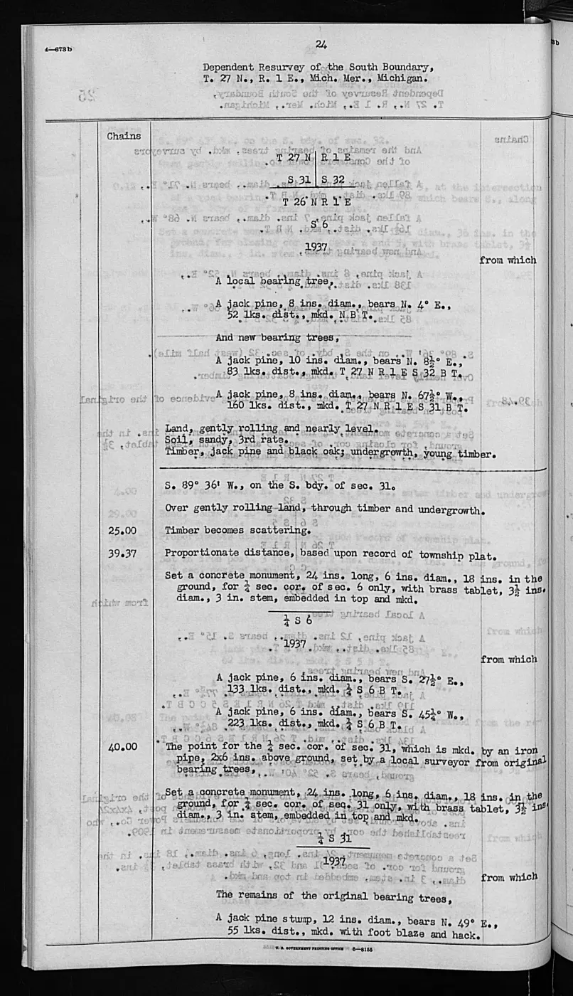
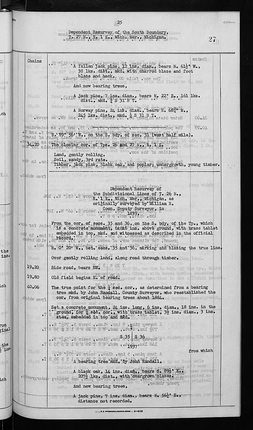
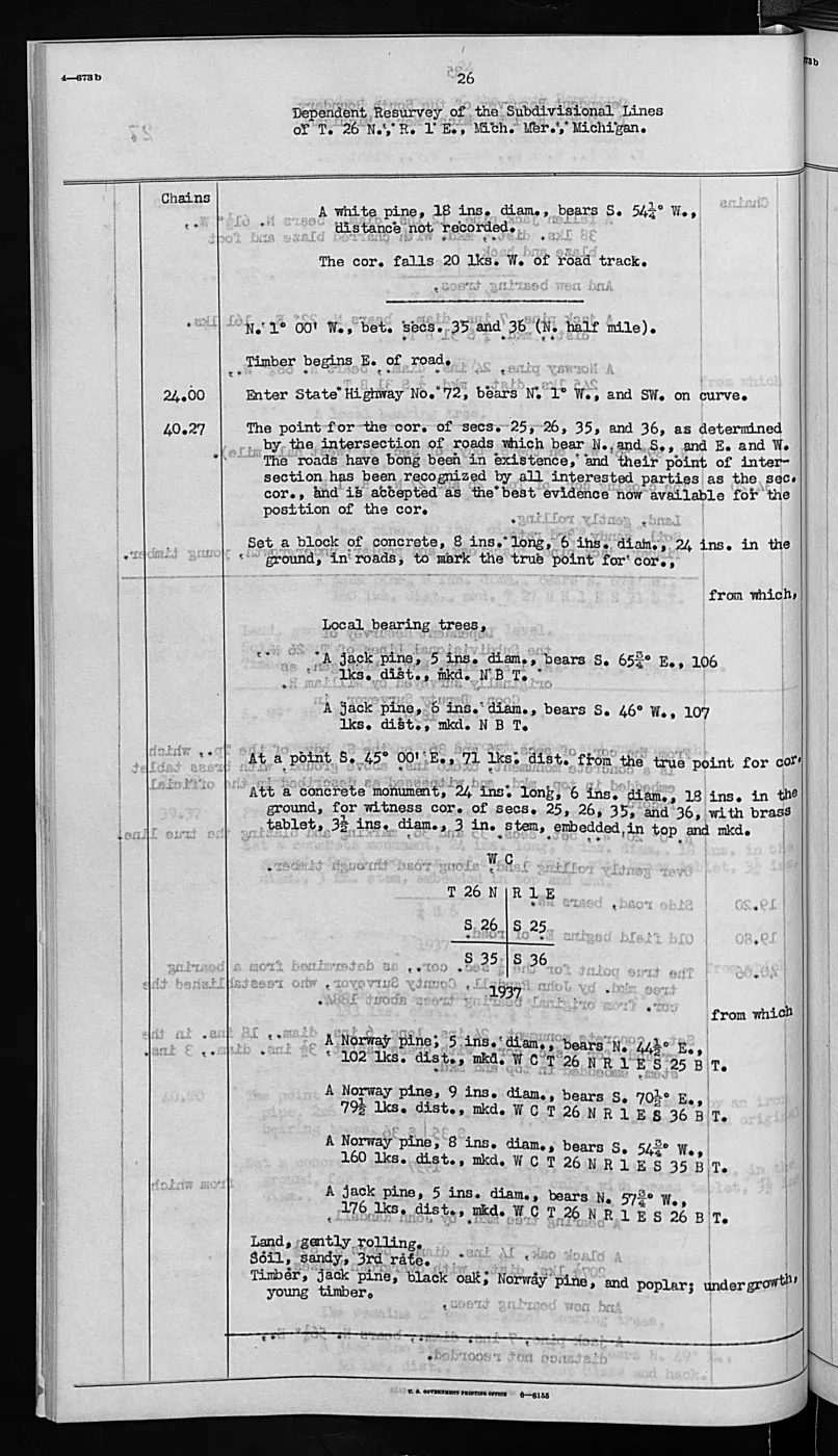
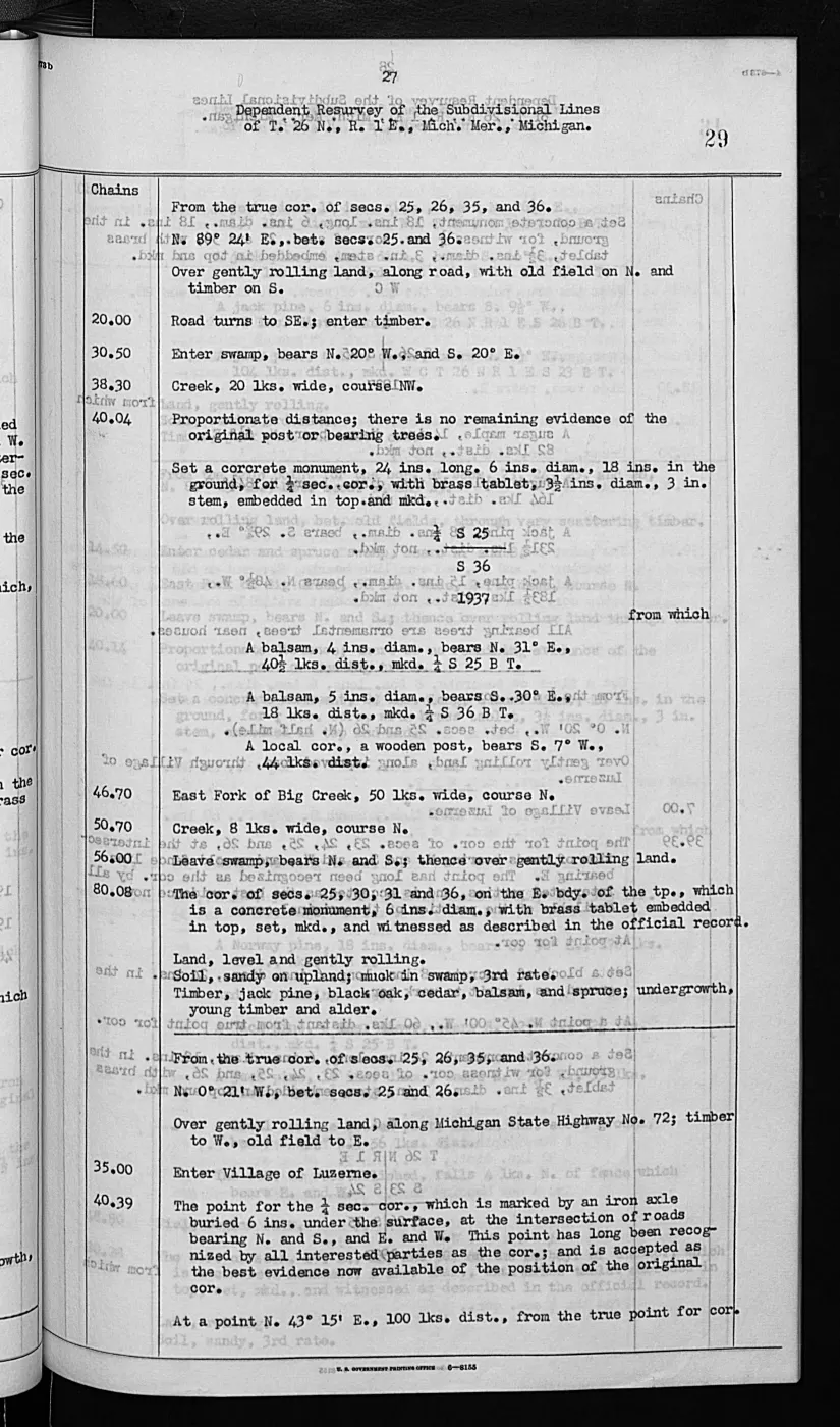
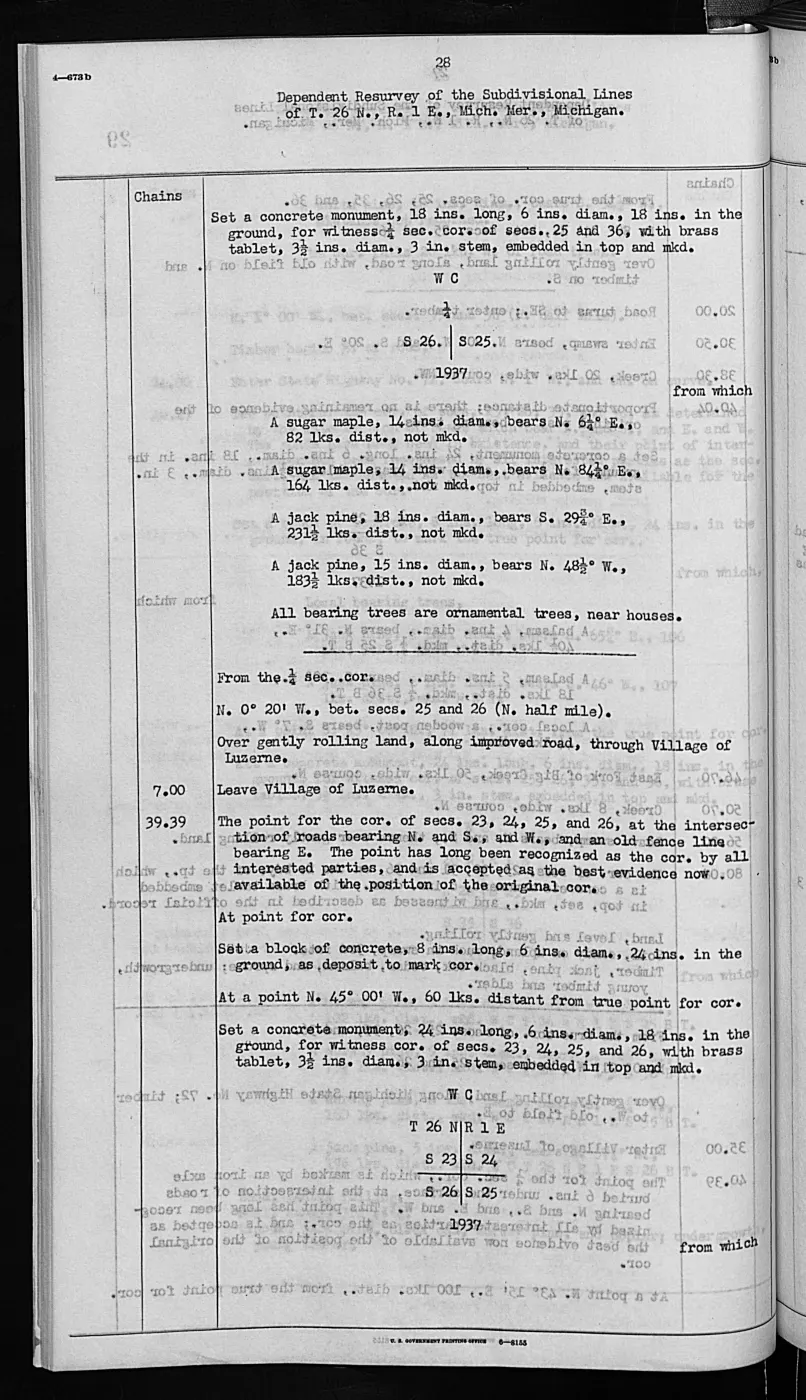
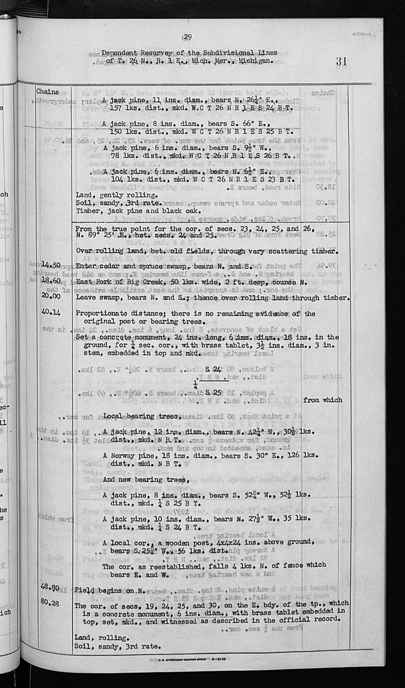
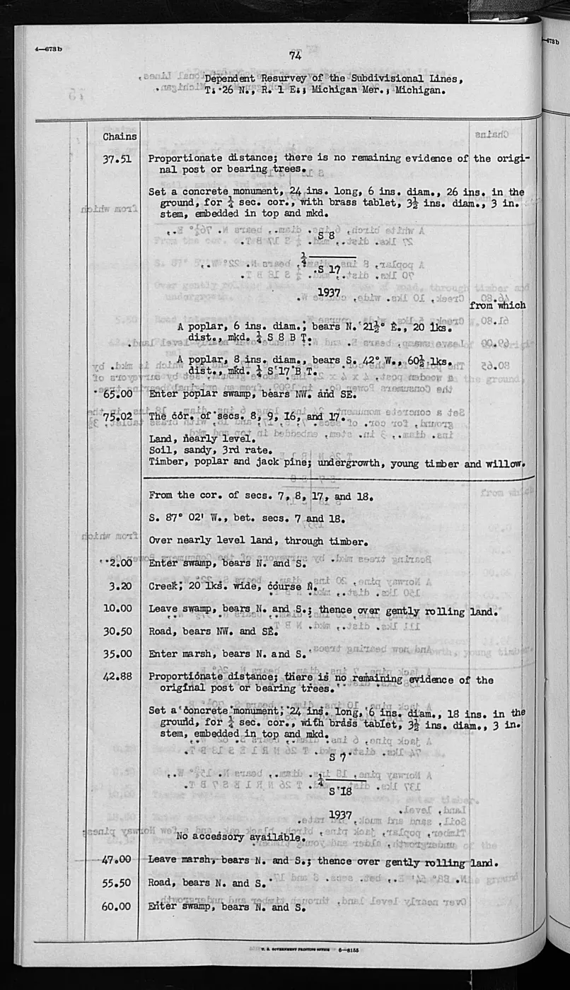
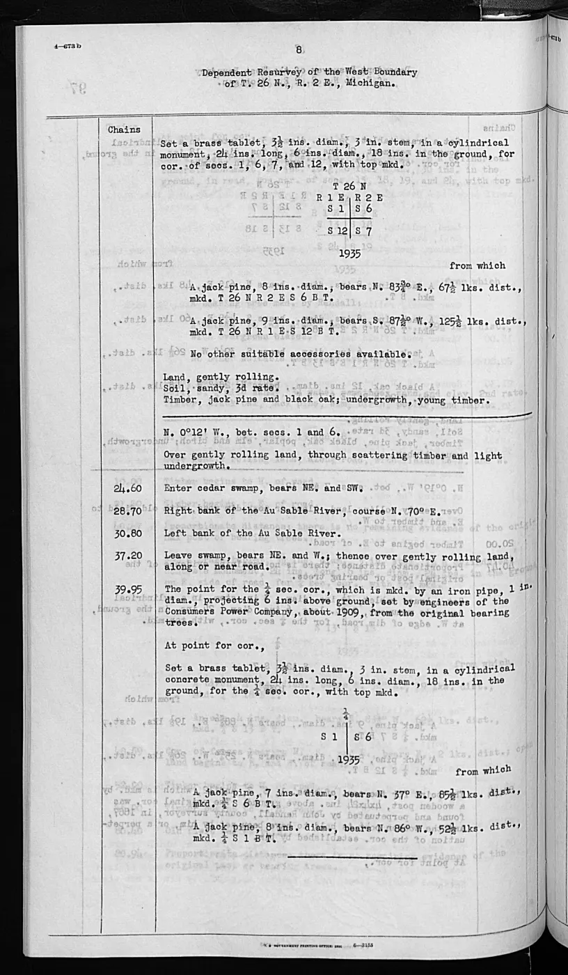
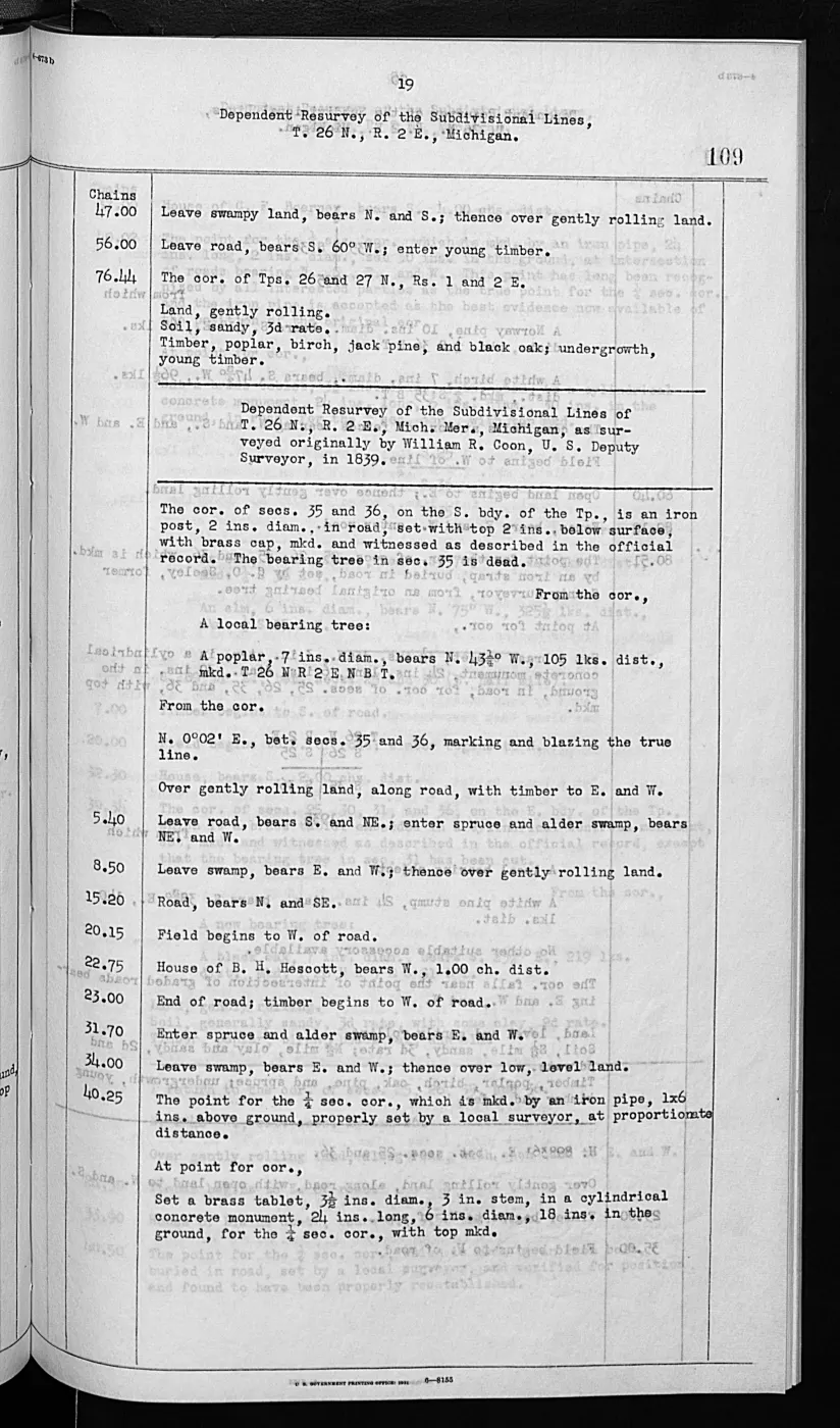
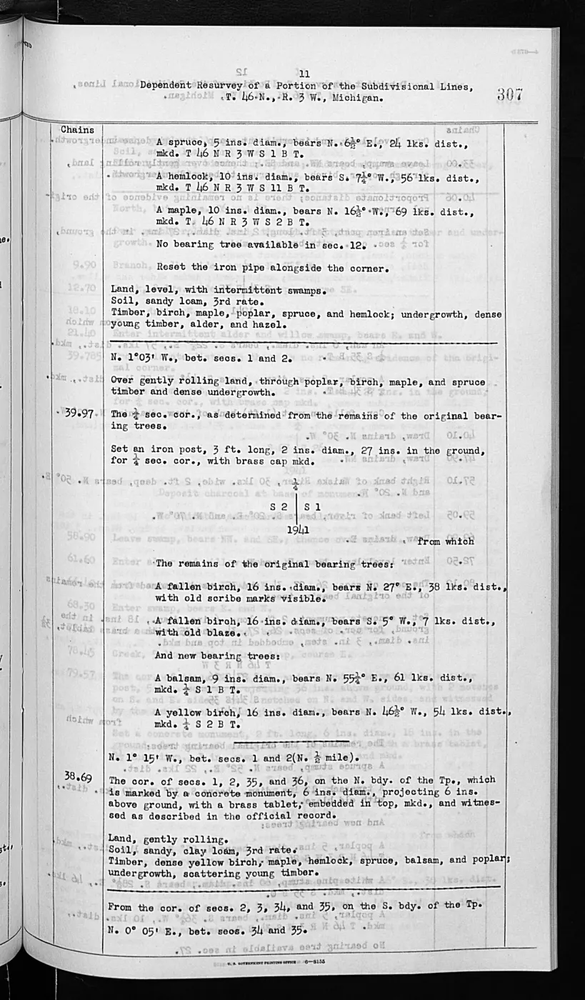
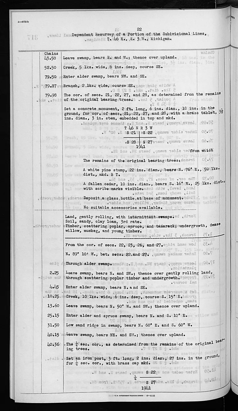
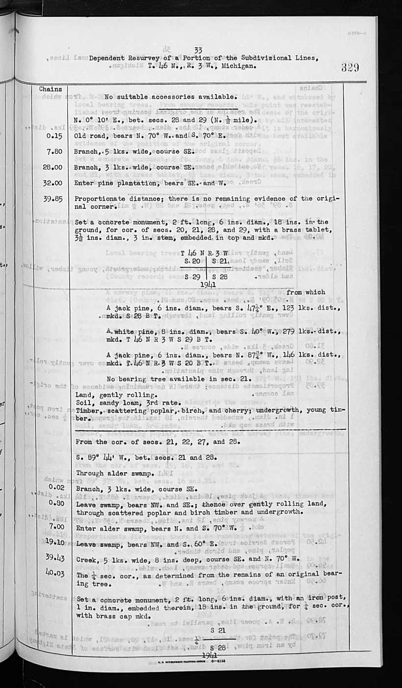
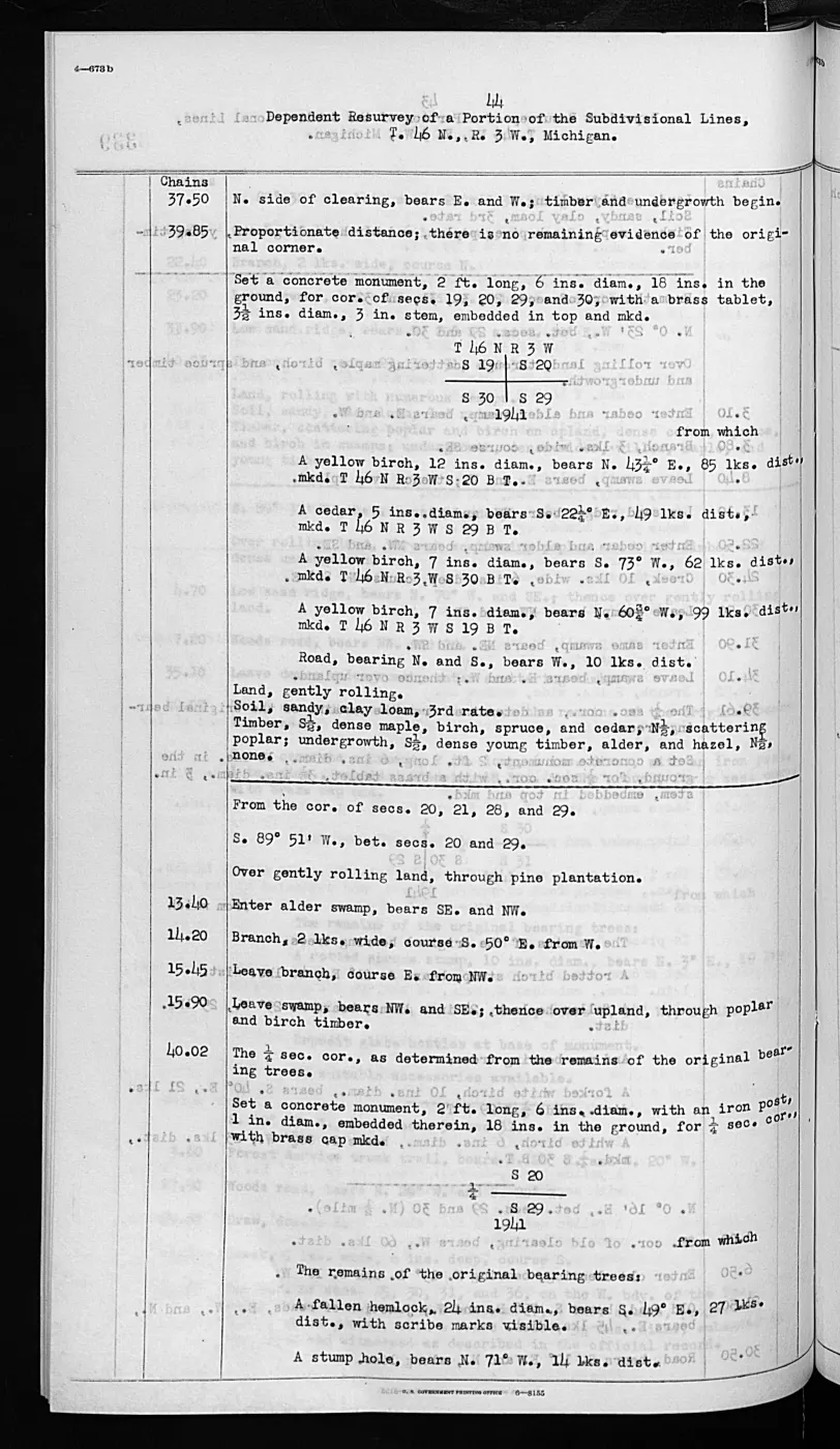
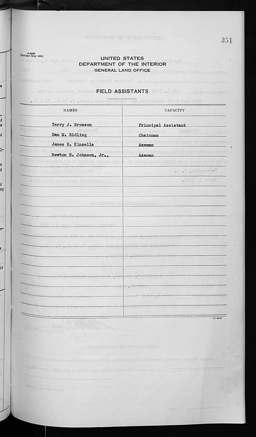
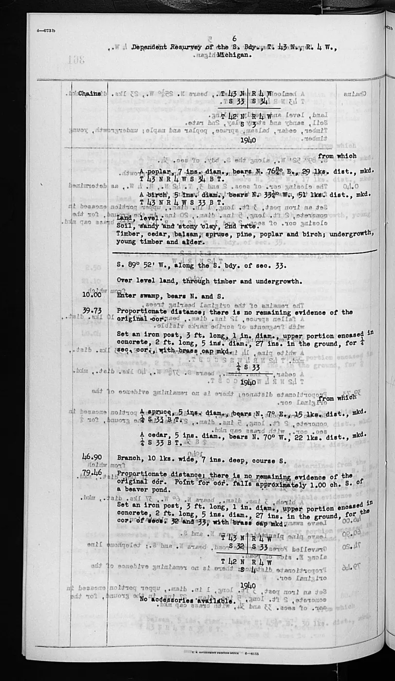
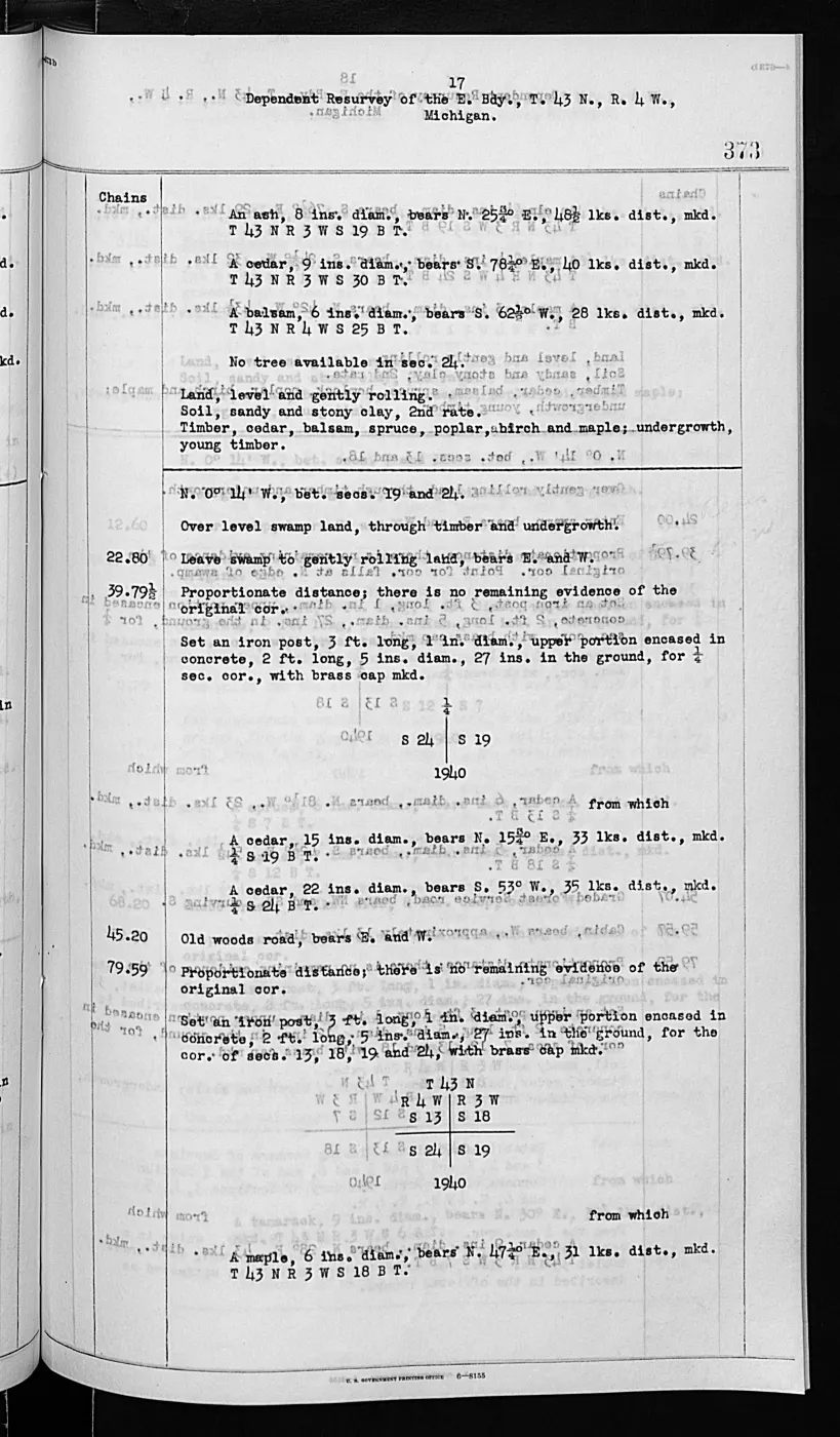
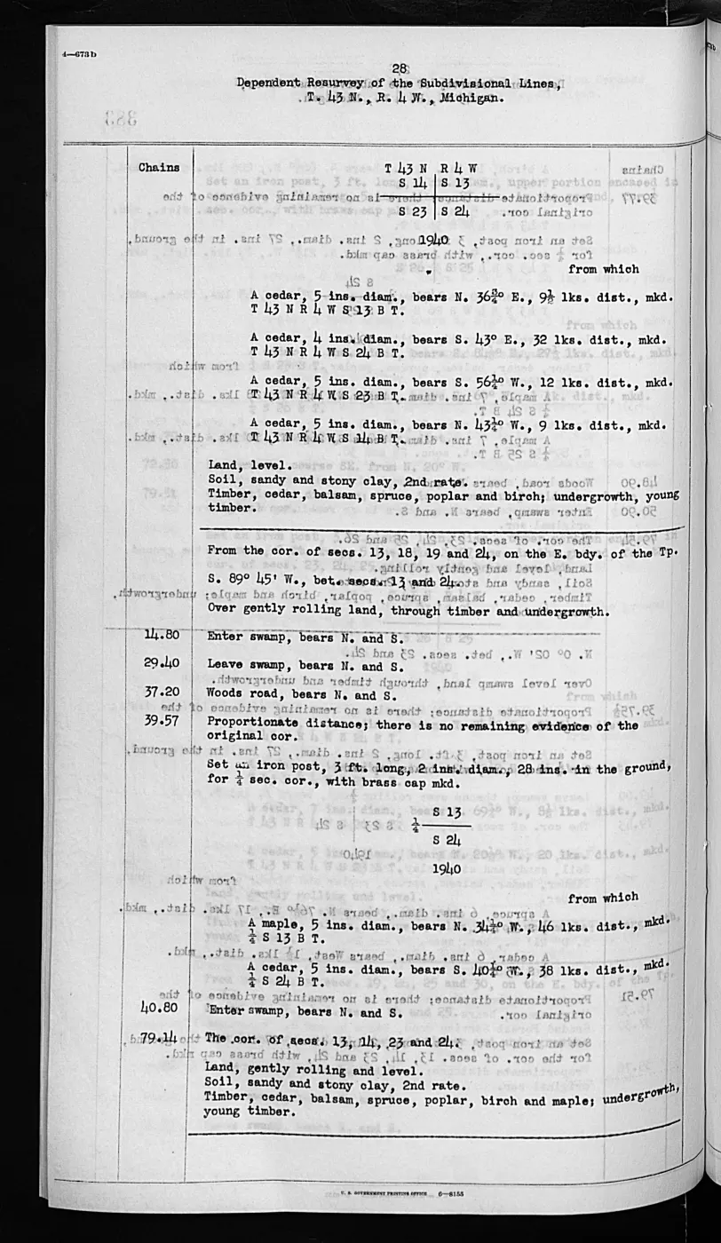
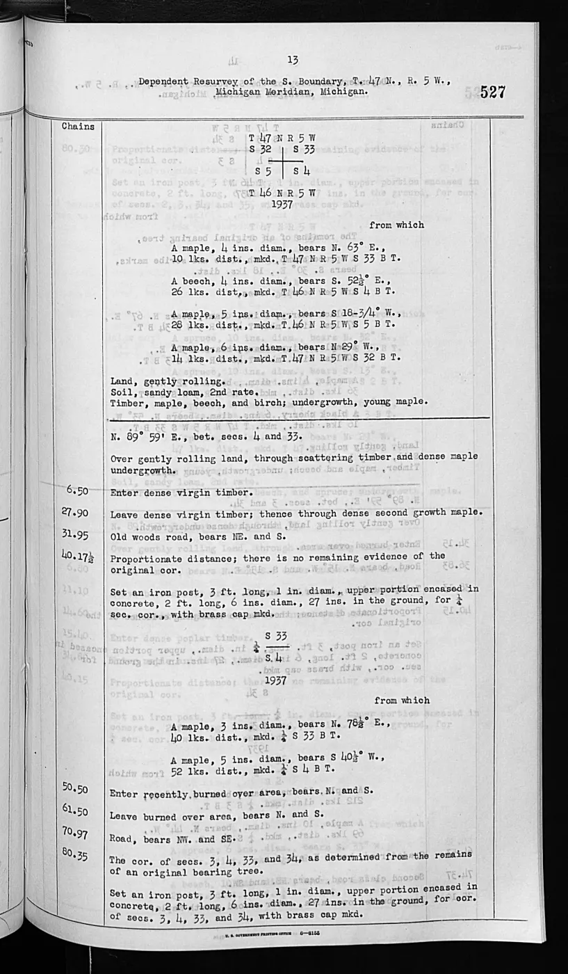
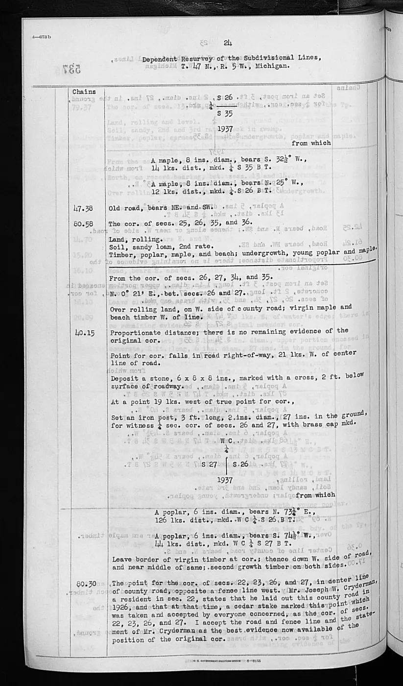
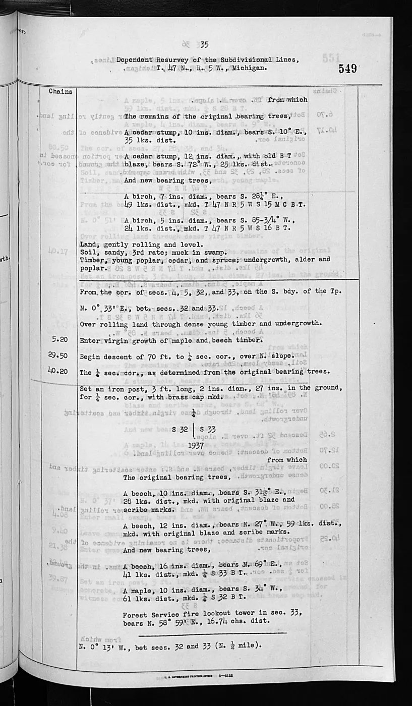
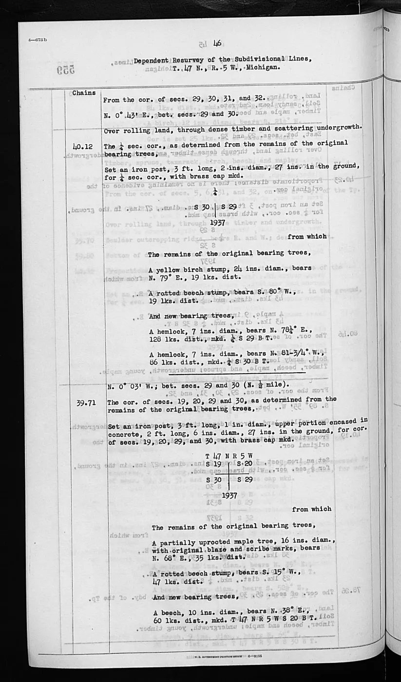
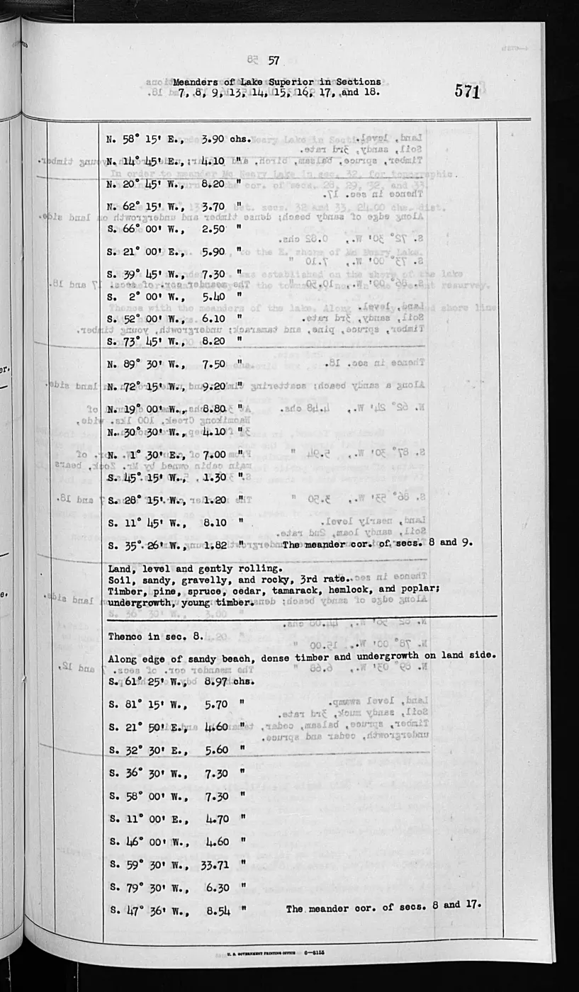
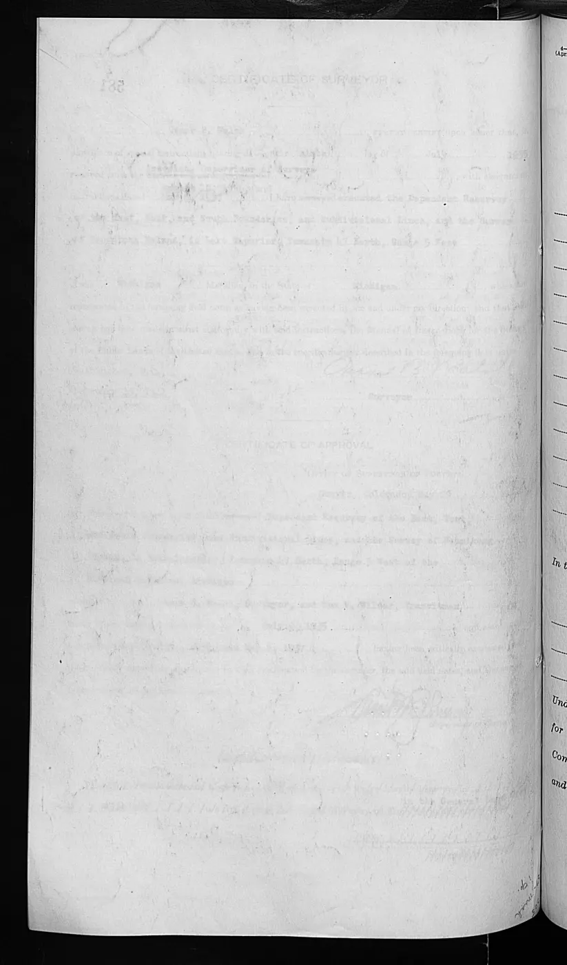
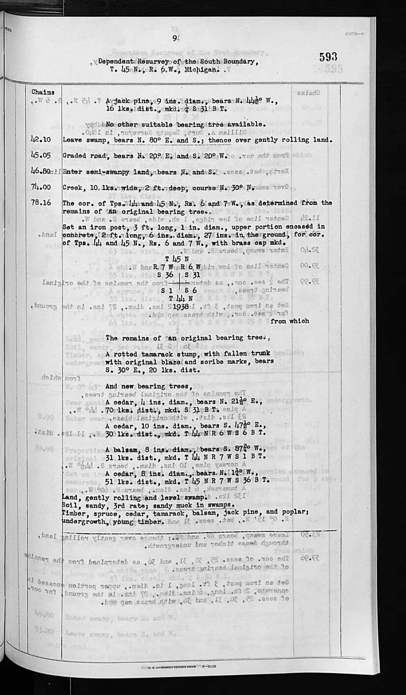
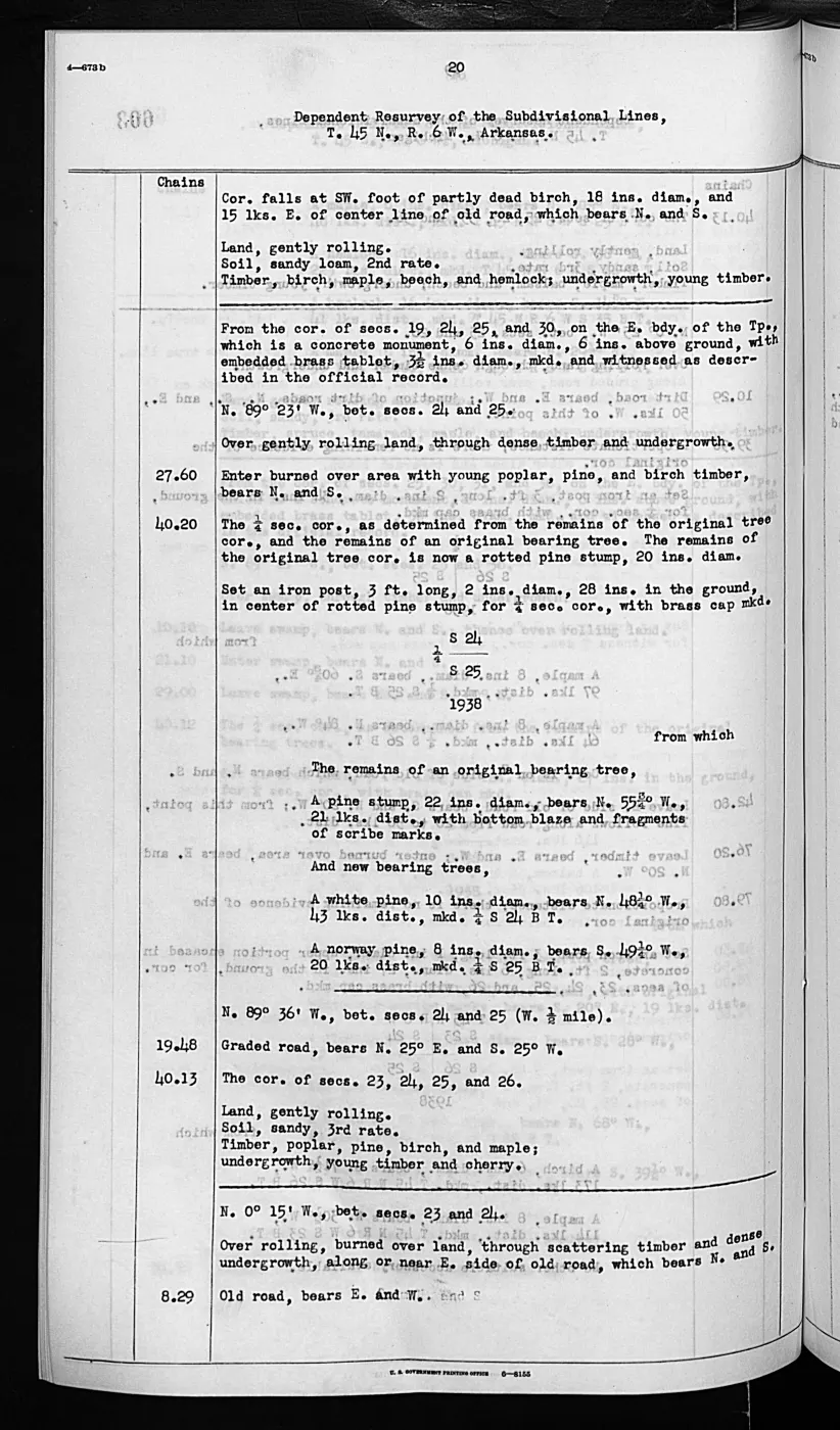
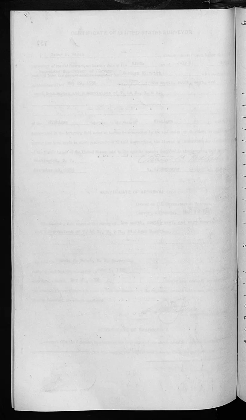
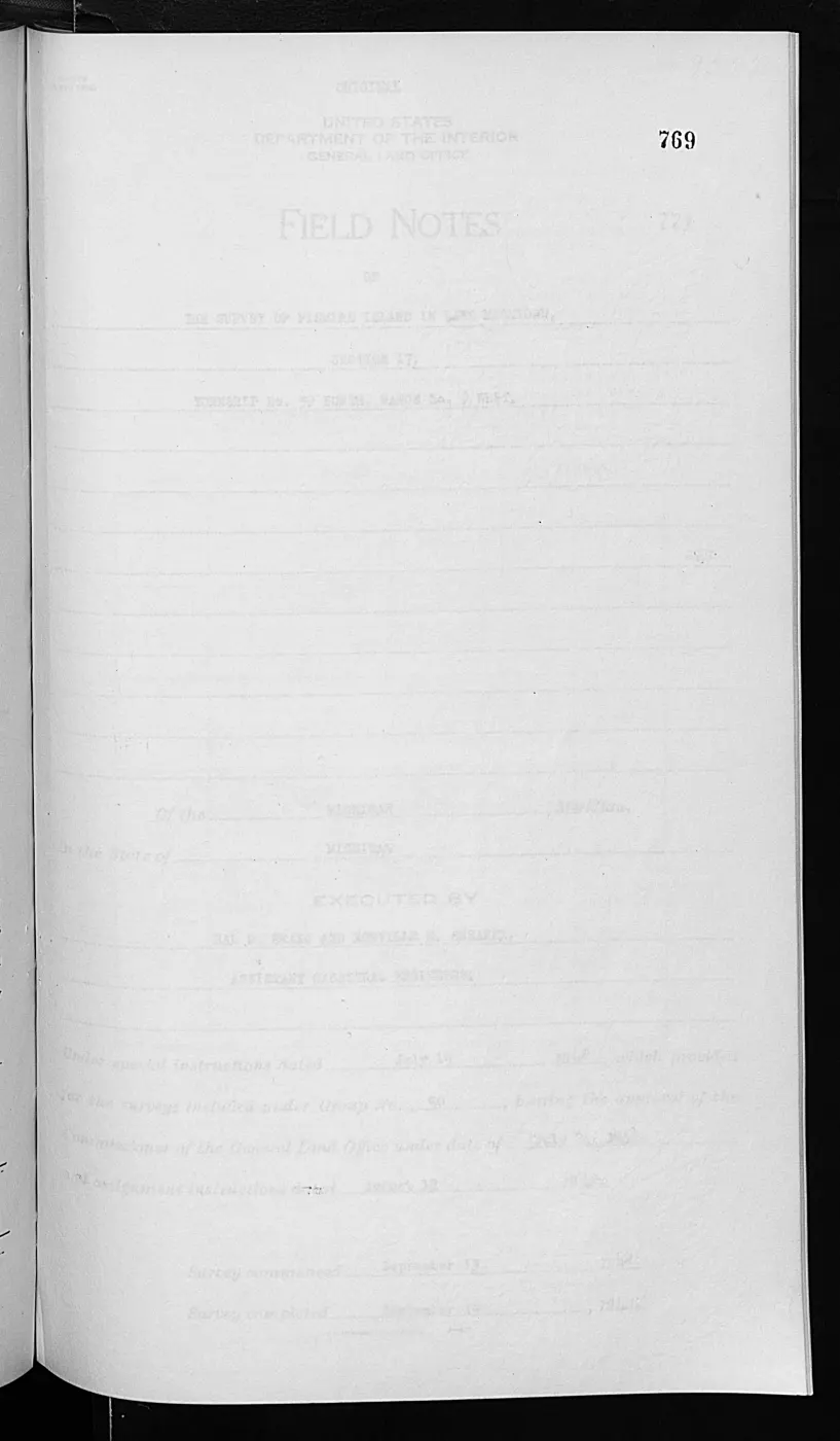
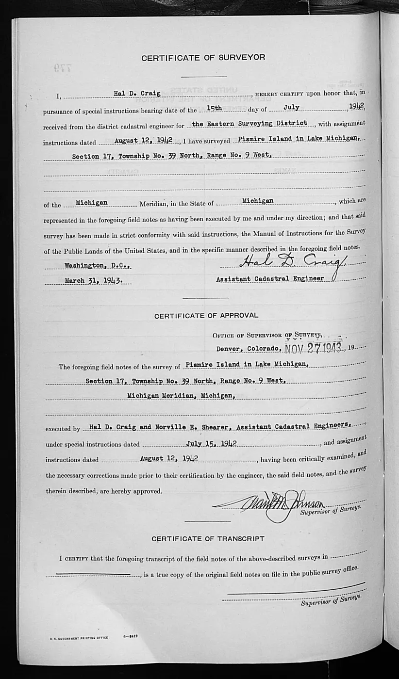
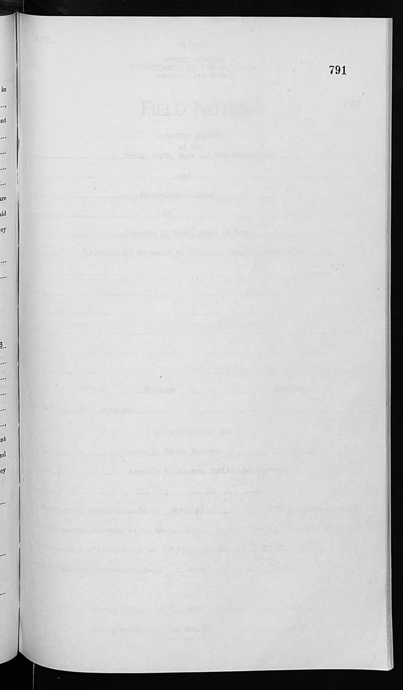
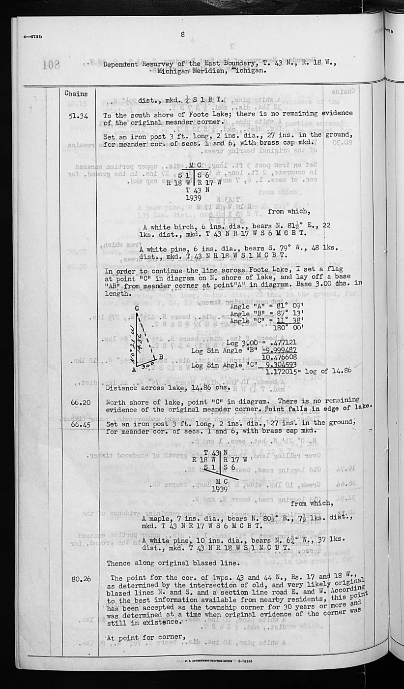
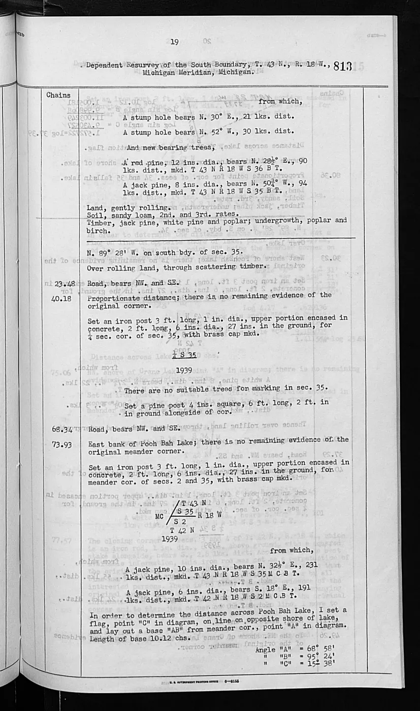
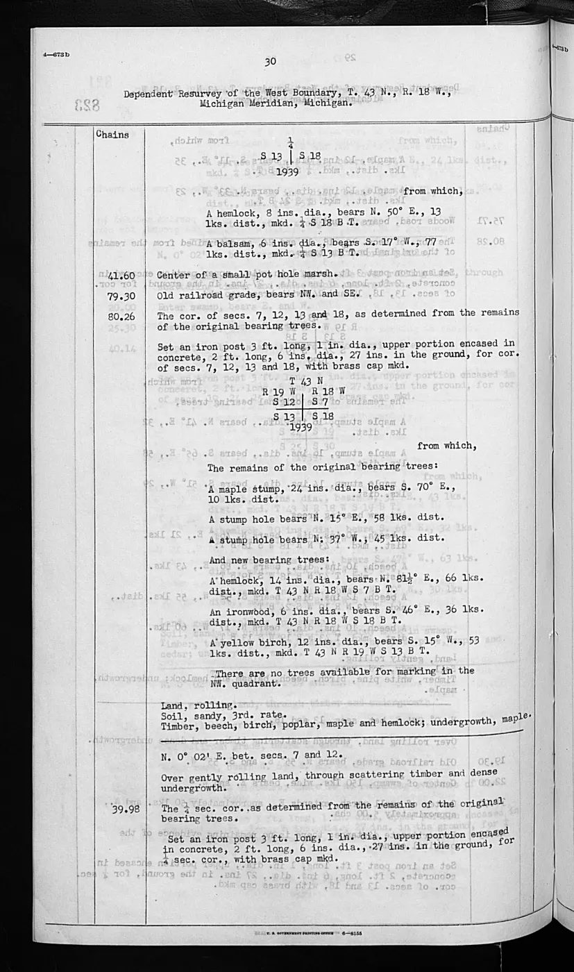
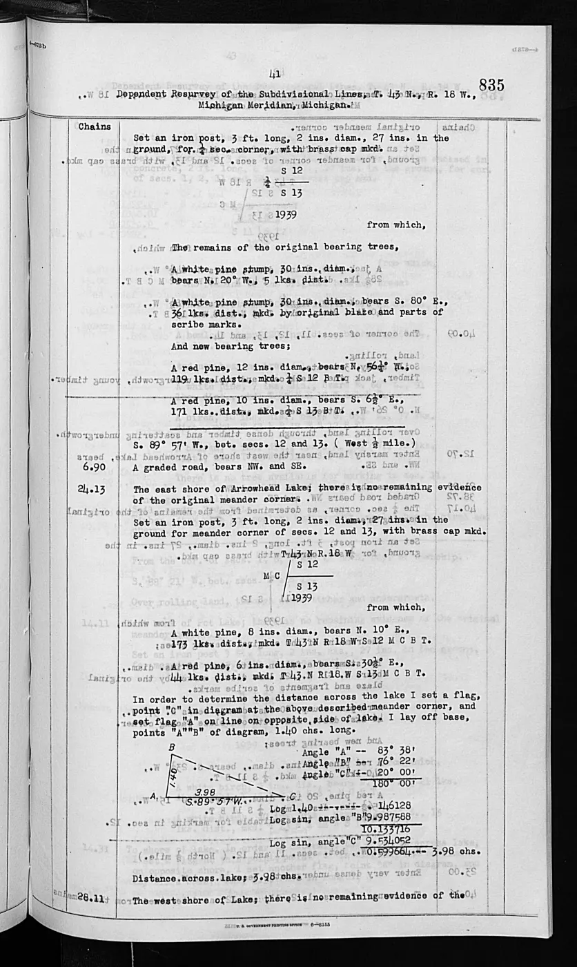
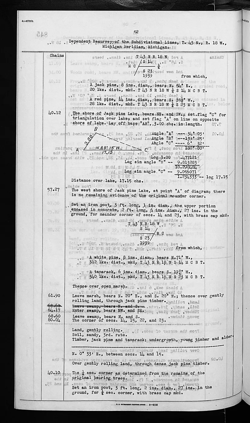
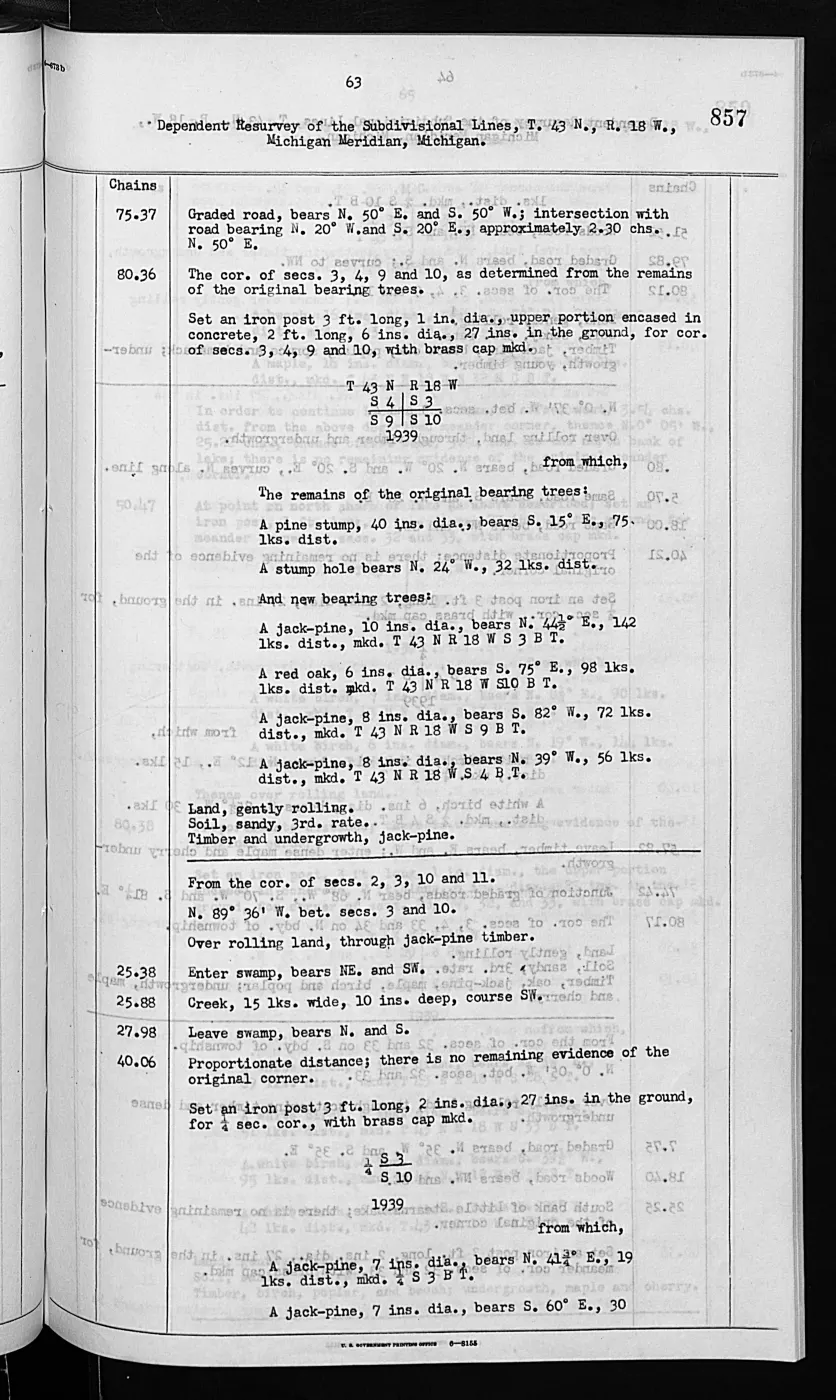
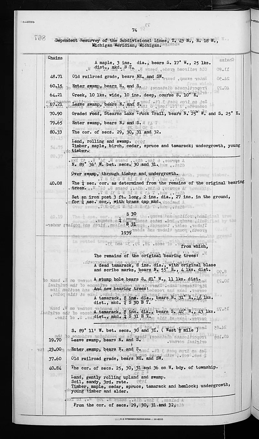
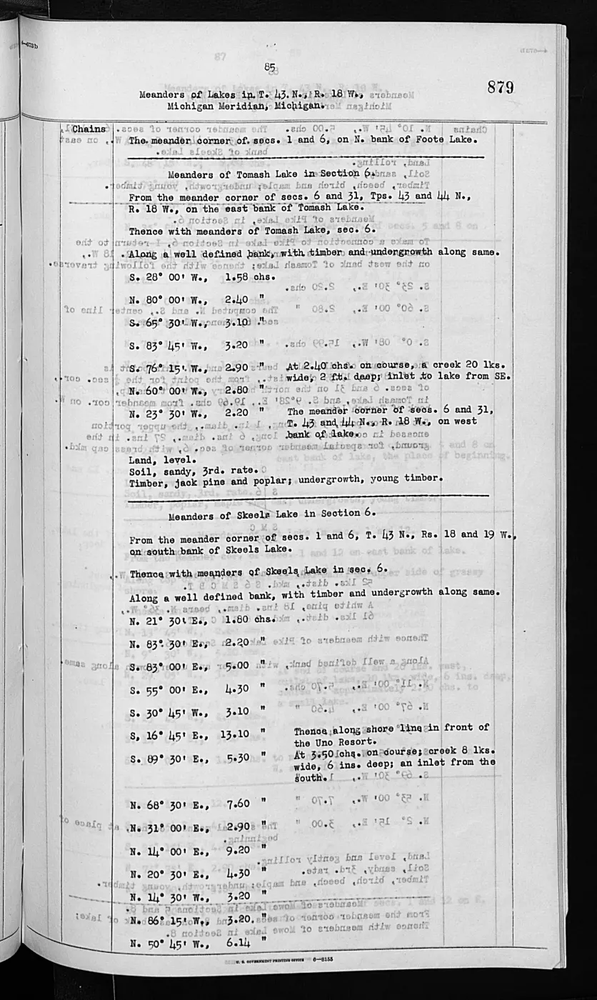
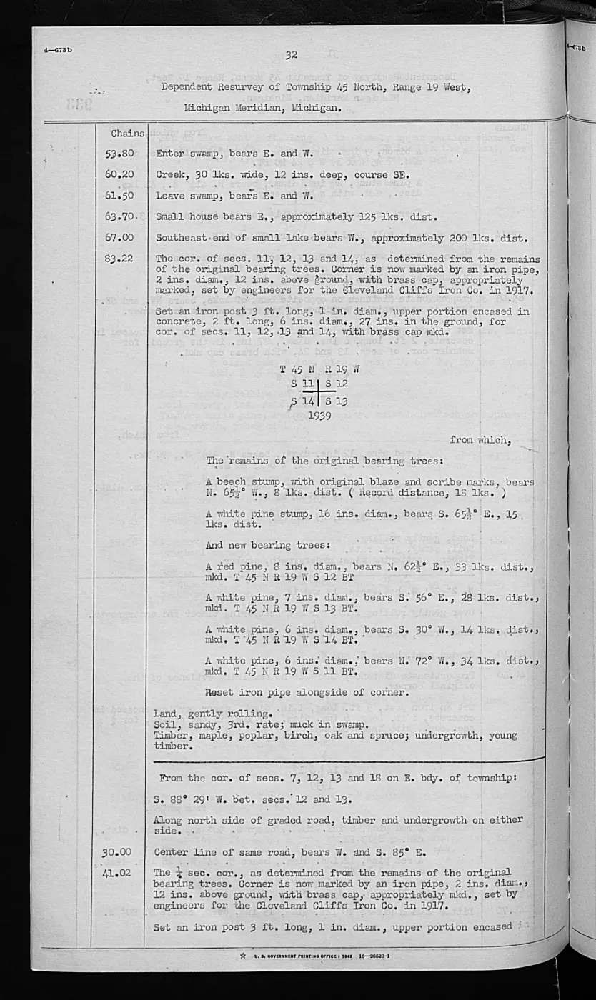
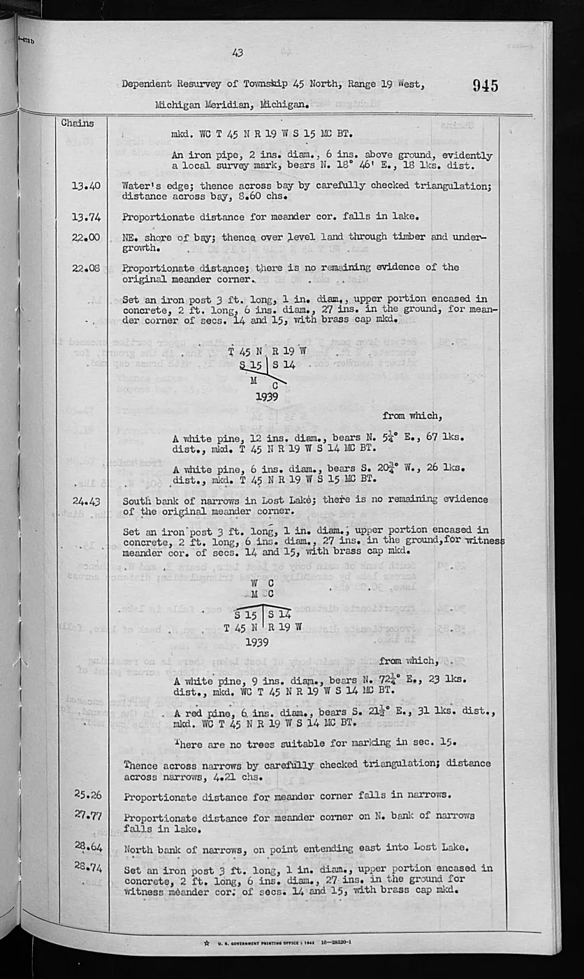
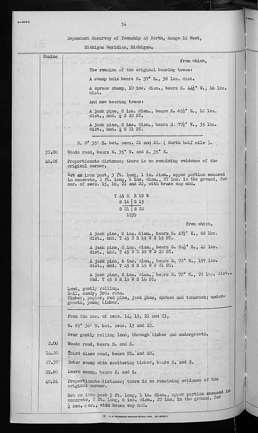
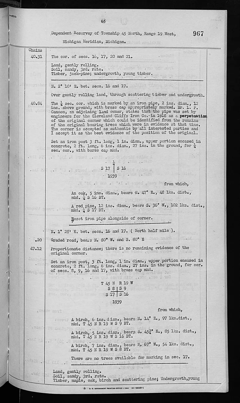
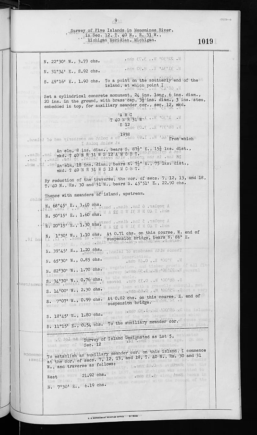
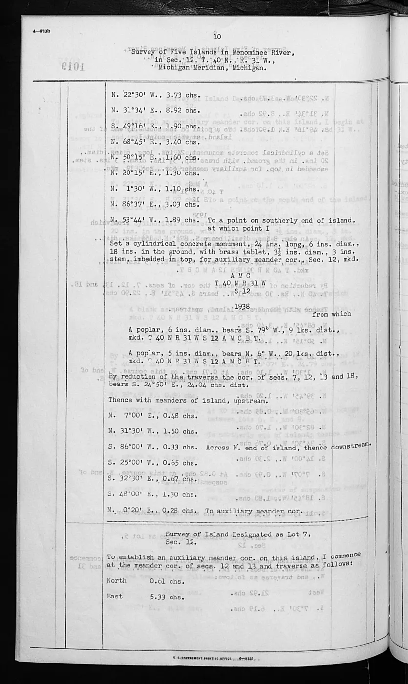
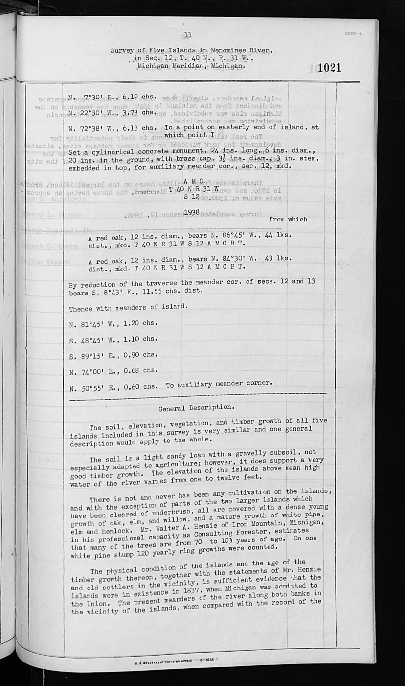
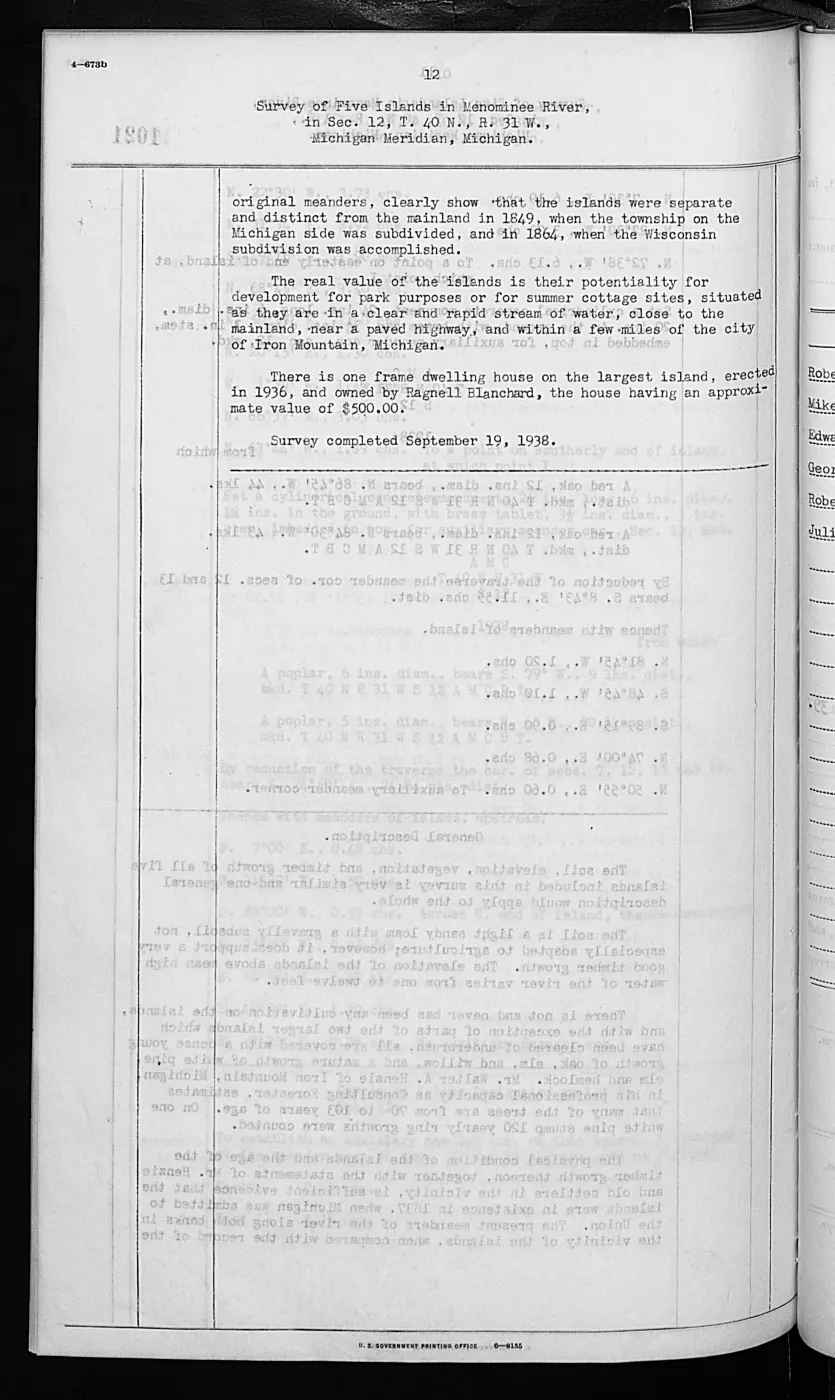
This crosswalk isolates four visually verified pages from the typed 1942 GLO field-note volume: two for Shoe Island and two for Pismire Island. The pages are valuable because they add a dated twentieth-century comparison to the handwritten 1845–1849 observations without pretending that the records form a continuous ecological series.
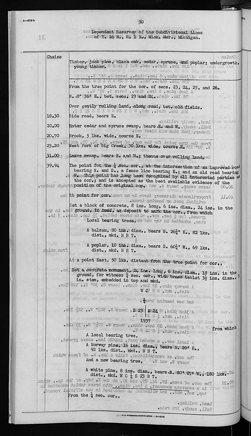
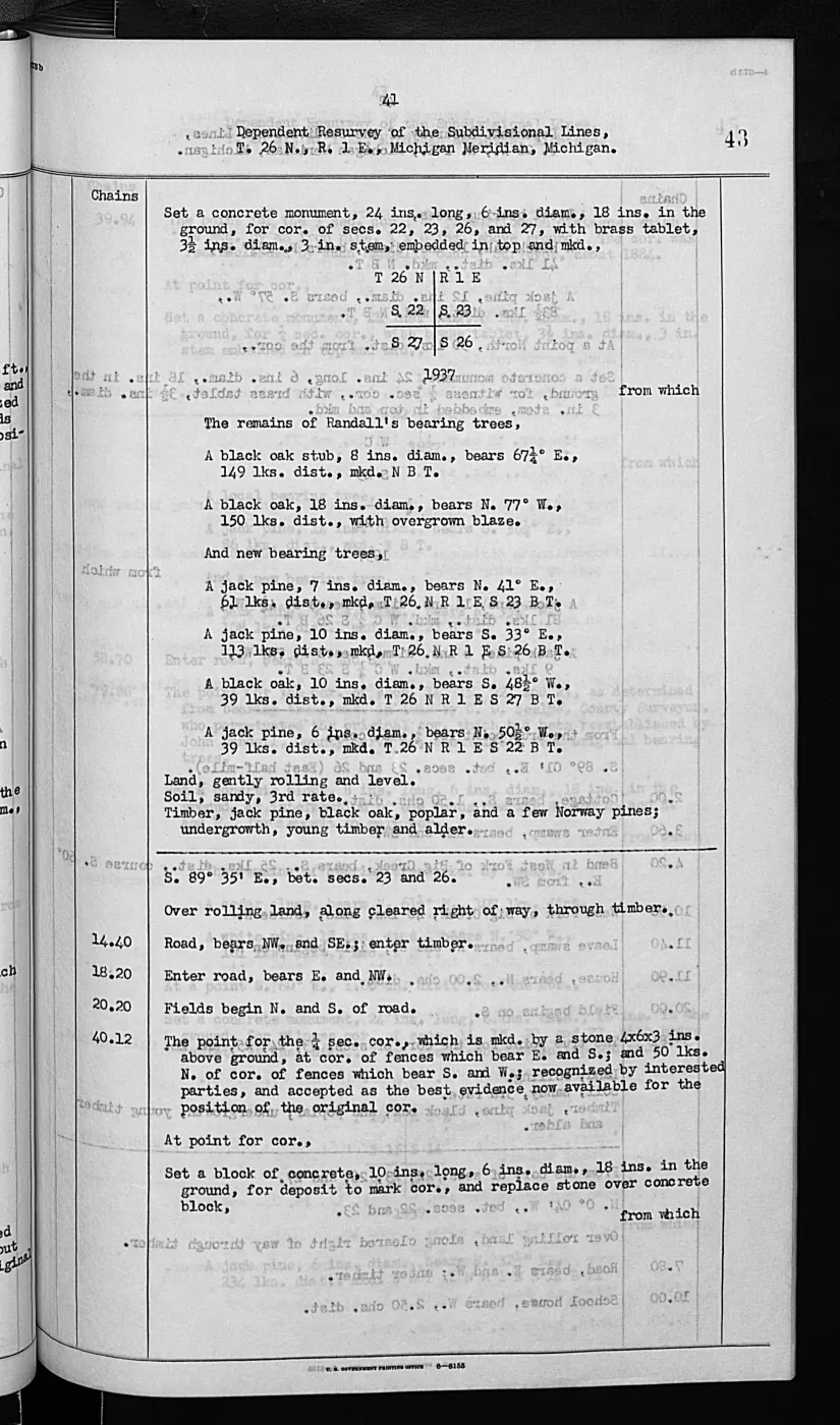
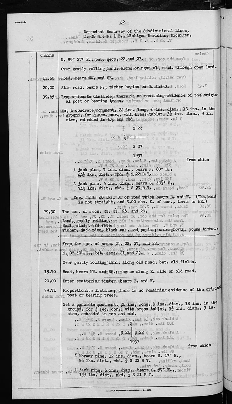
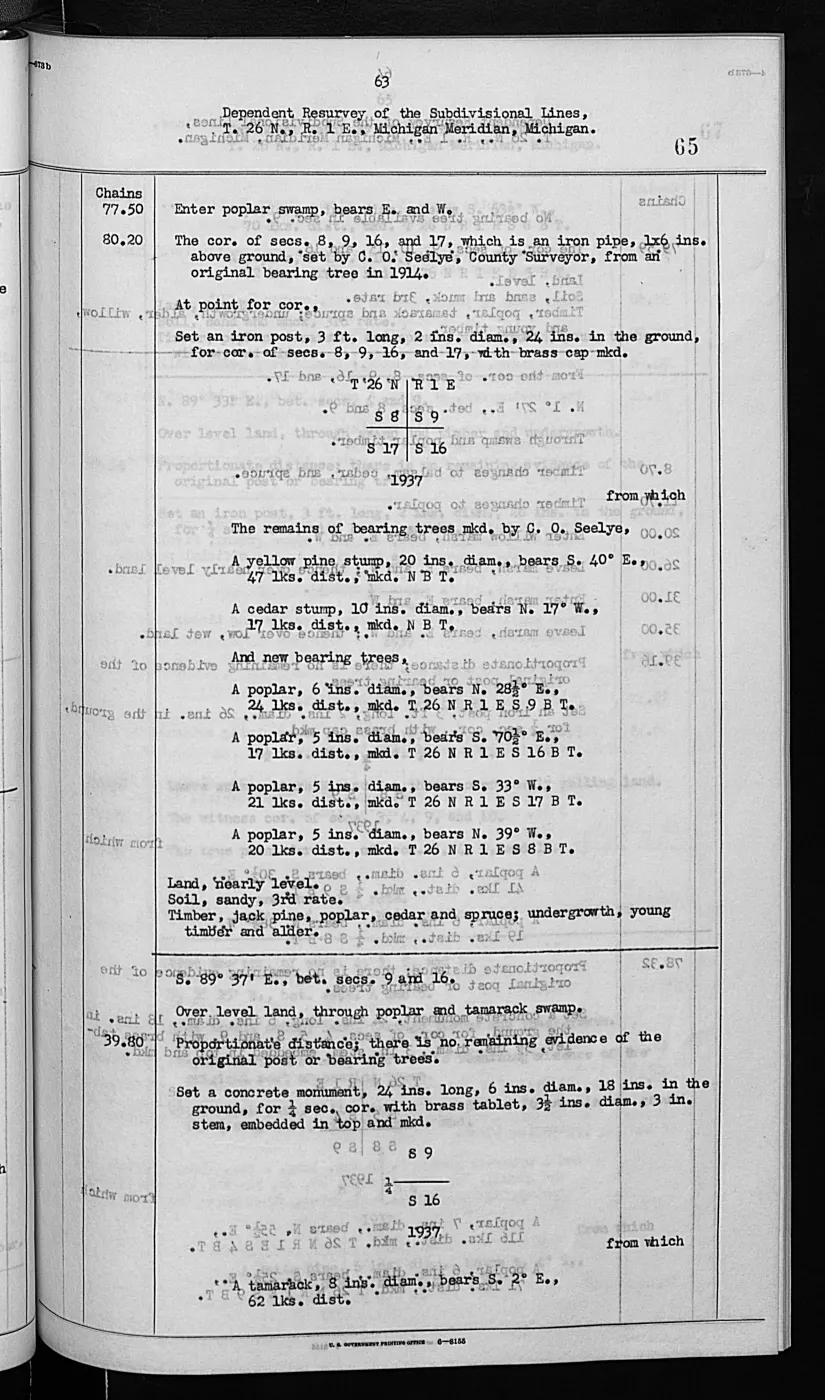
Shoe Island is described as a low gravel-and-boulder formation with sparse weeds, grass, and small willows and no available trees for marking. The continuation calls it upland and not subject to overflow and explicitly records gull nesting and resting use, including a connected stone islet covered with gulls. Pismire is described as a gradually rising gravel island with humus over parts of the surface, a dead cedar grove, sparse ash and willow, grass and weeds, and no improvements. Its general description explicitly records ducks and gulls using the island for nesting and resting.
Evidence and limits
These are surveyor descriptions, not bird counts, colony censuses, species-level identifications beyond gulls and ducks, or current occupancy observations. The crosswalk emits no geometry: township/range, volume page, page ID, and image hashes are retained for future spatial joins. The survey pages’ title or ownership reasoning is not treated as a project title determination.
Connections
The 1942 pages connect directly to the earlier GLO record. Shoe’s typed survey explicitly refers back to the 1849 Hat Island field notes and their stone islet covered with gulls. Pismire’s description also refers to its earlier existence and cedar grove. Together, the records create a source-bounded 1849-to-1942 lead for studying small-island vegetation change and colonial waterbird use, but not a measured trend. The PLSS context crosswalk makes the township/range map join explicit for these four pages without turning their observations into current habitat geometry.
See also
- GLO field-note pages: Shoe Island survey, 1942
- GLO field-note pages: Pismire Island survey, 1942
- Visually verified GLO survey observations of archipelago soils, terrain, and trees, 1845–1849
- Wildlife and bird life
- Forest types and tree history
- Geology and landforms
- GLO ecology observations joined to PLSS context, 1845–1942
Read the document
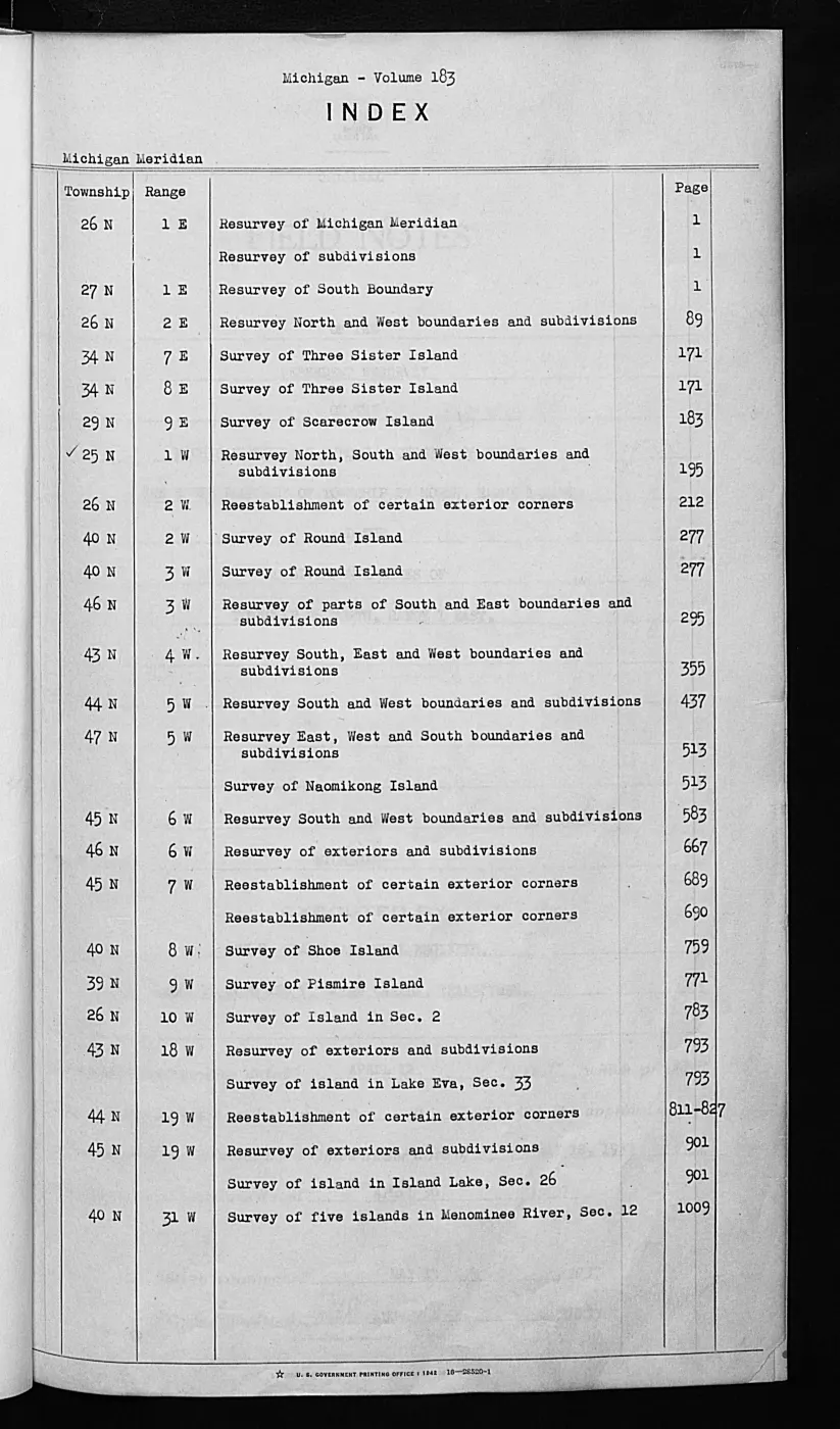
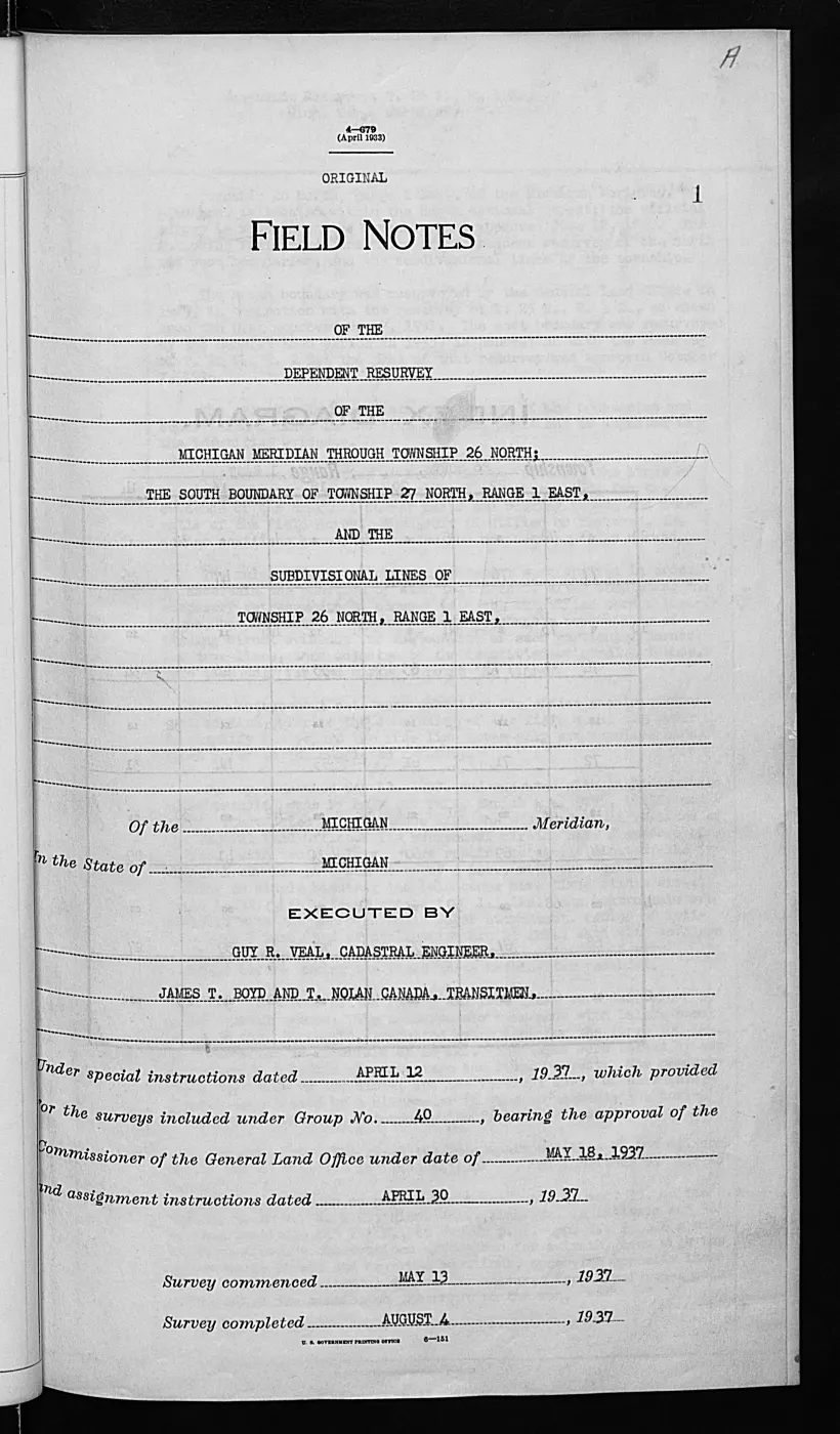
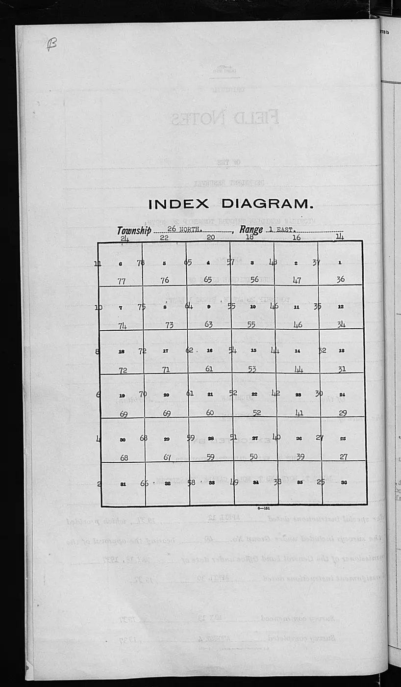
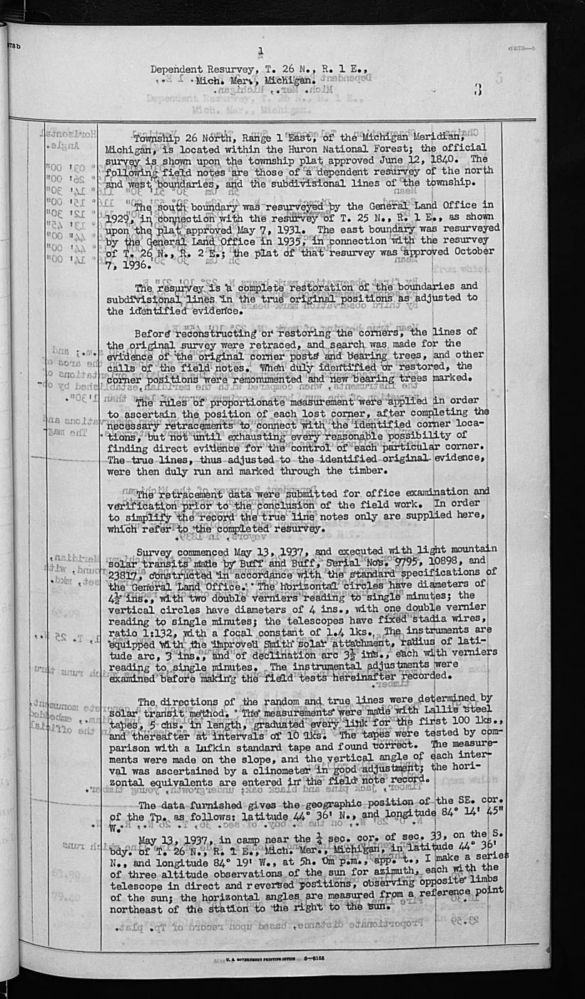
1,026 pages, rendered from the held scan.
Jump to a page — 1,026 in all
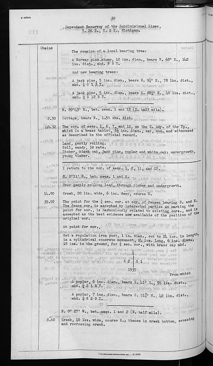
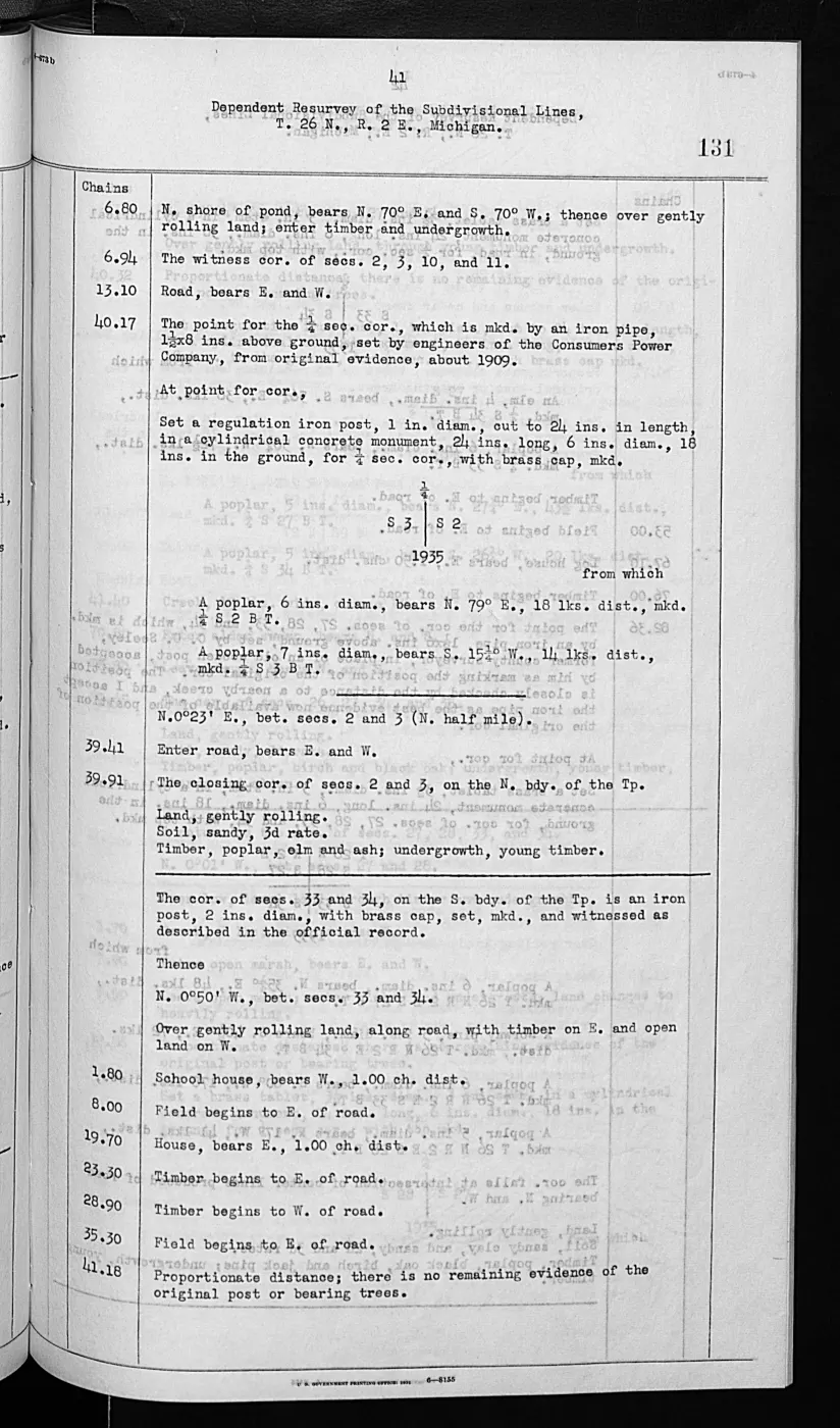
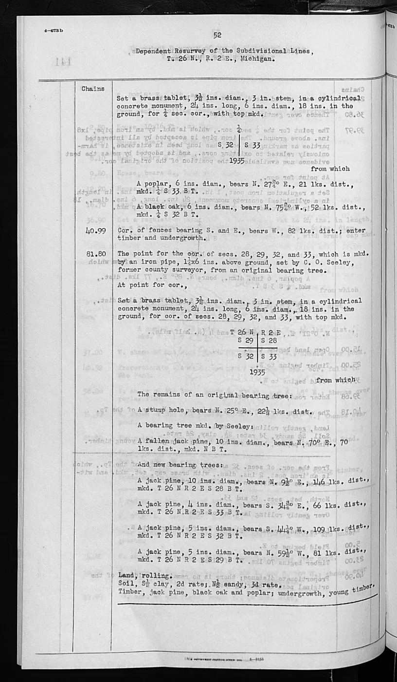
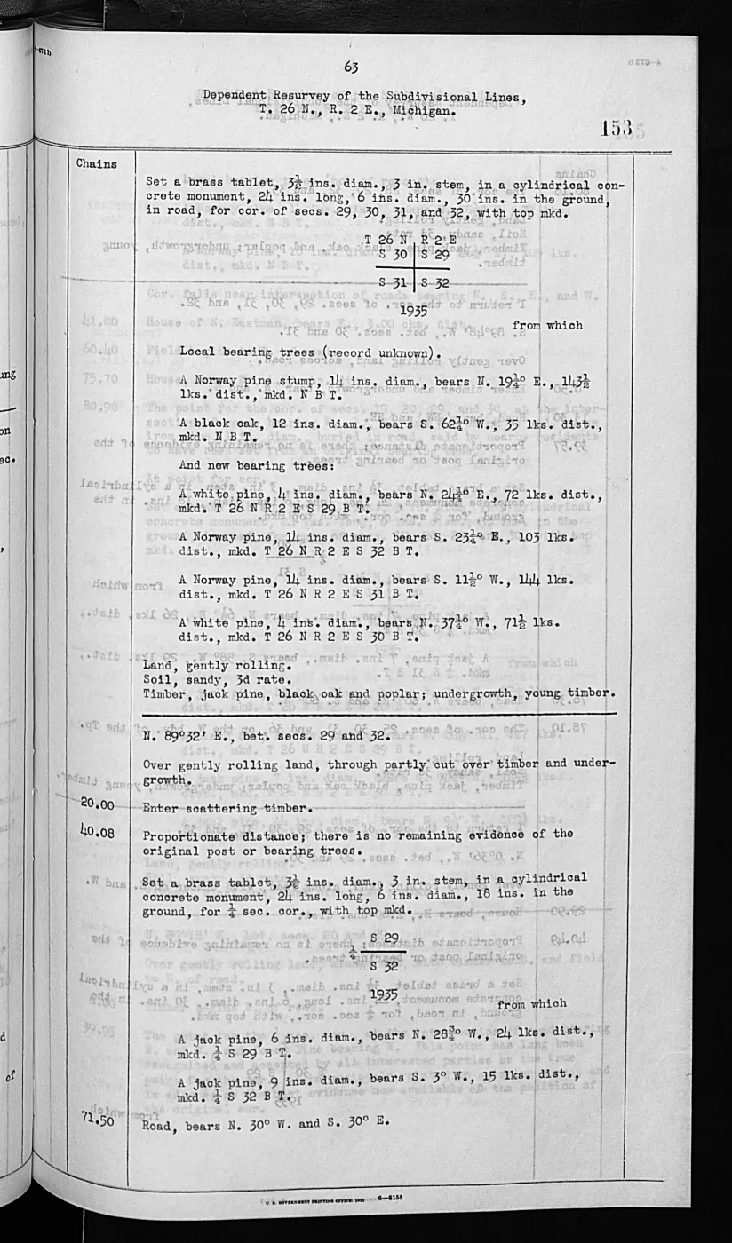
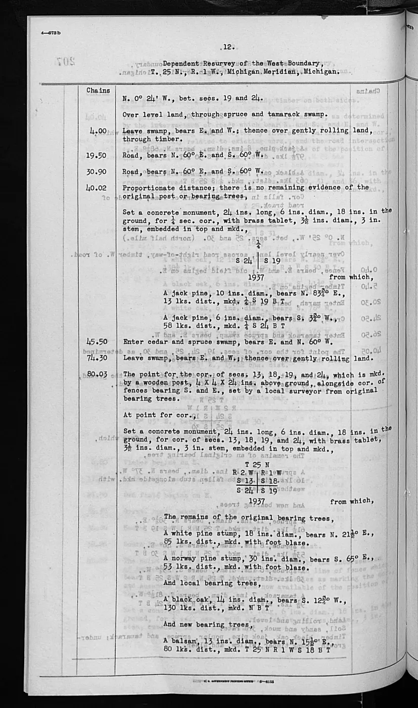
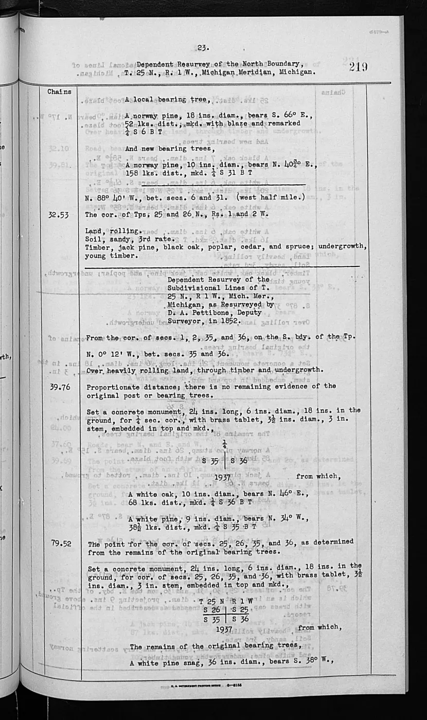
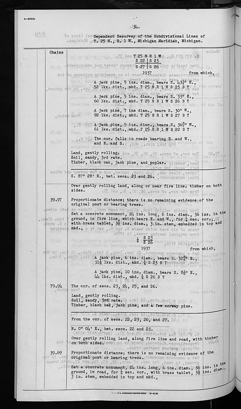
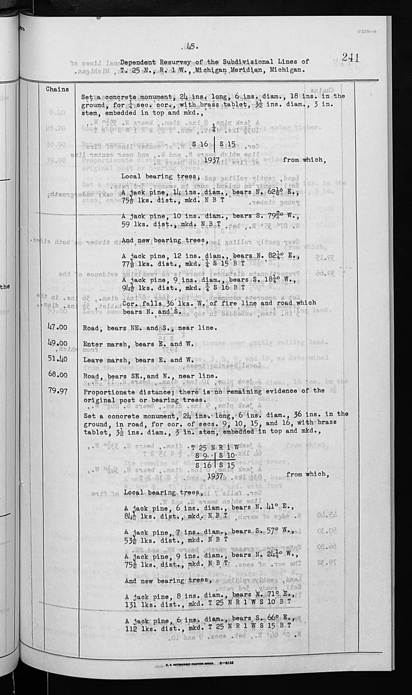
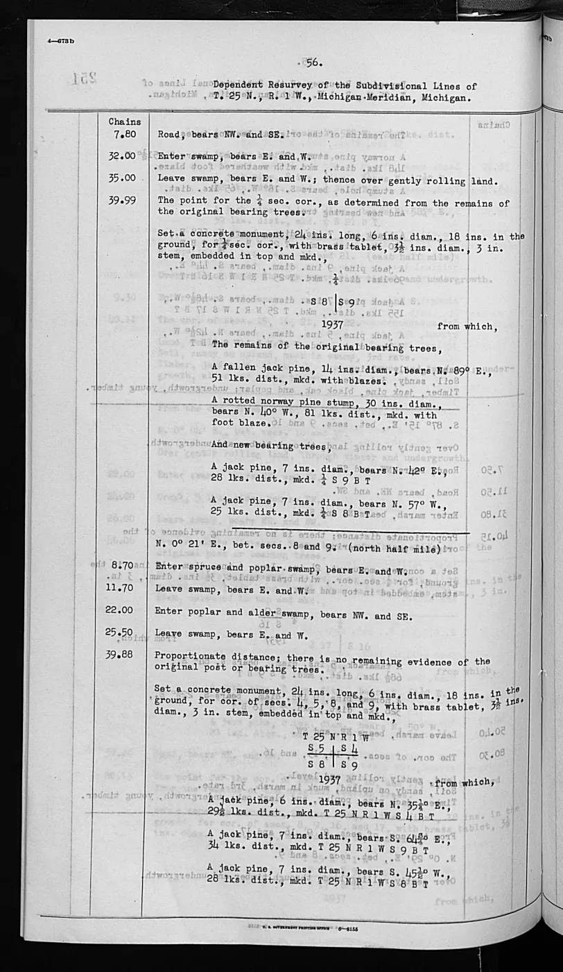
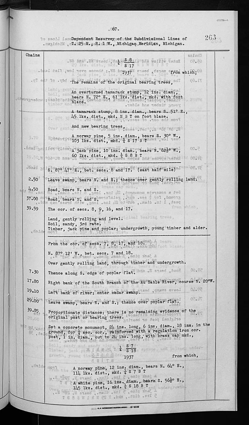

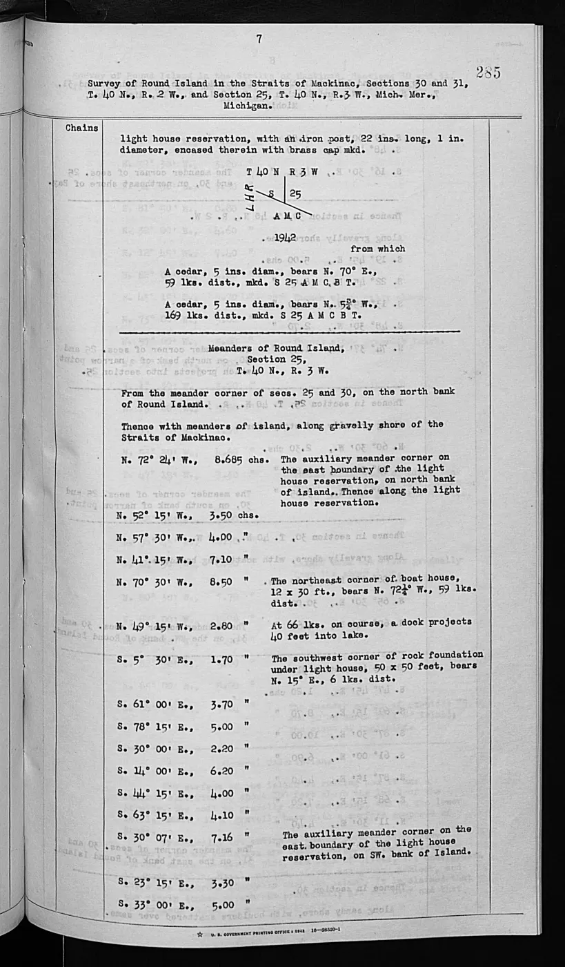
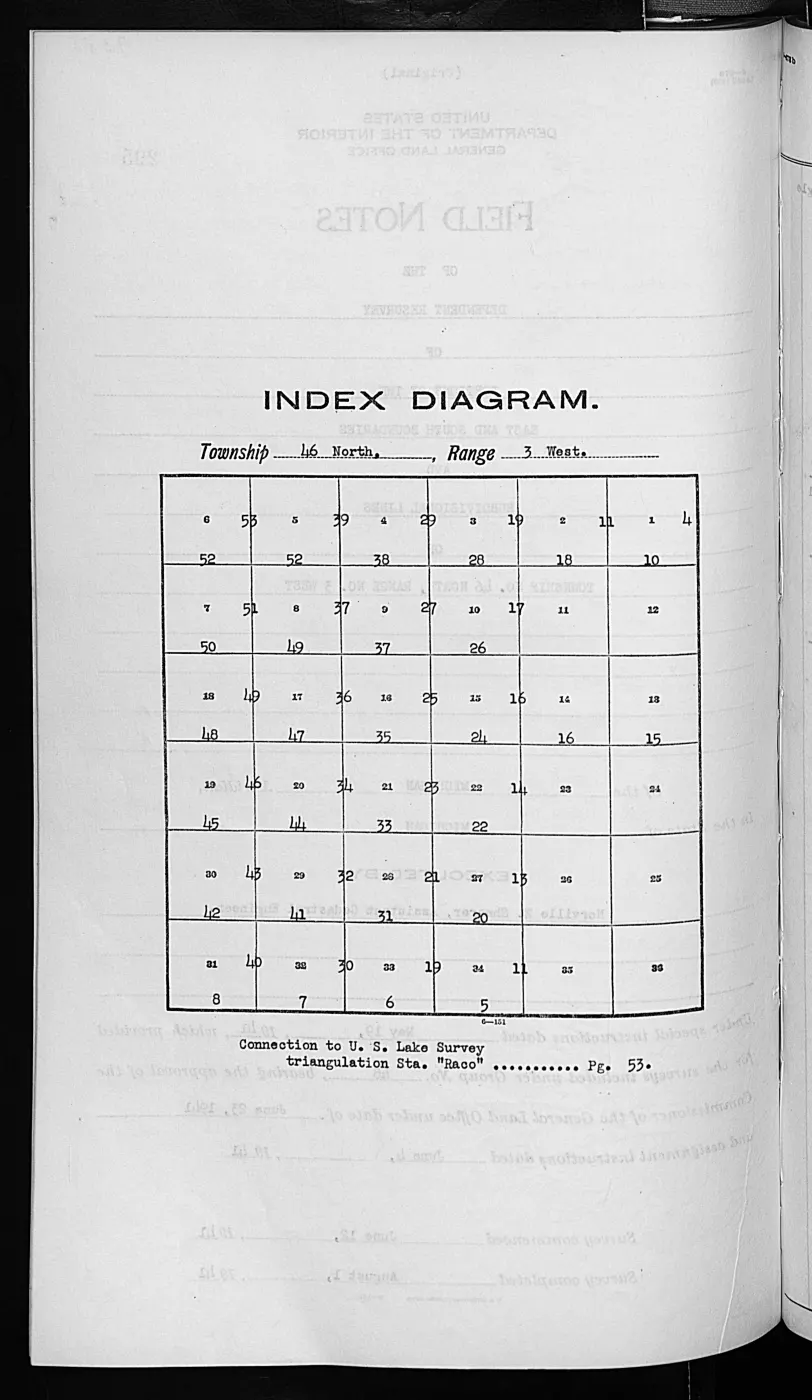
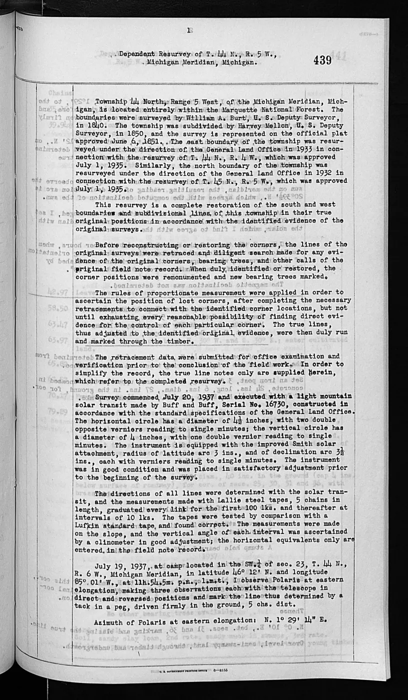
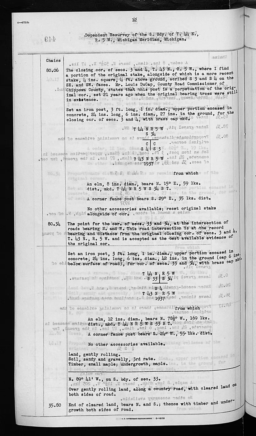
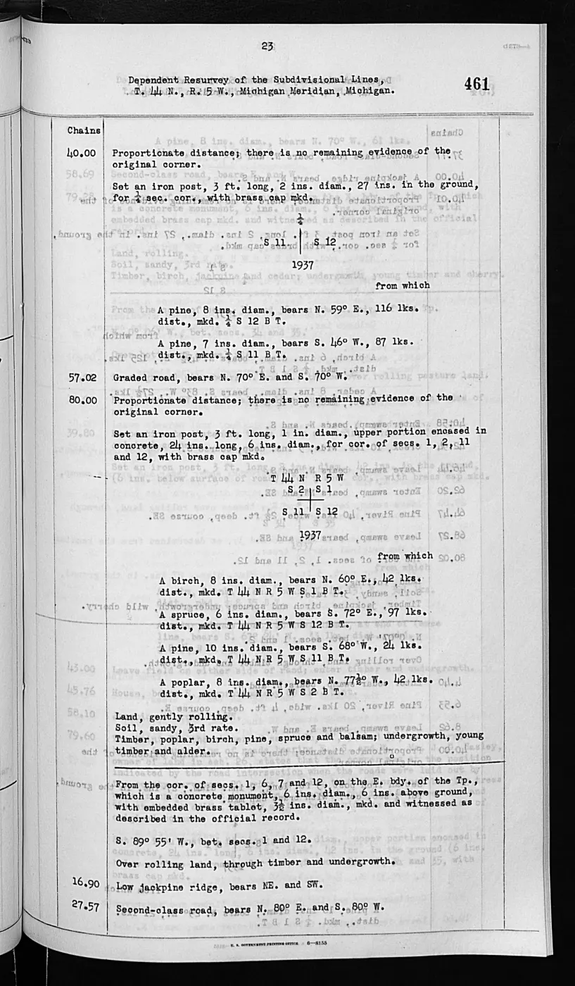
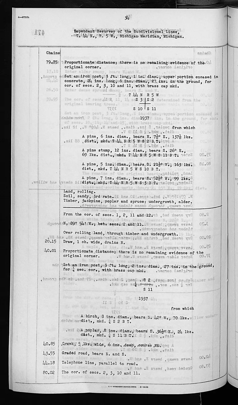
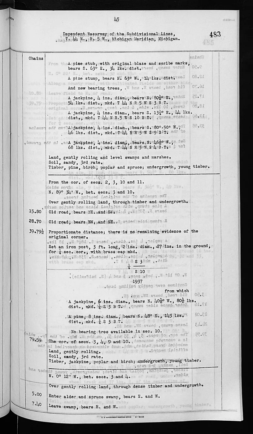
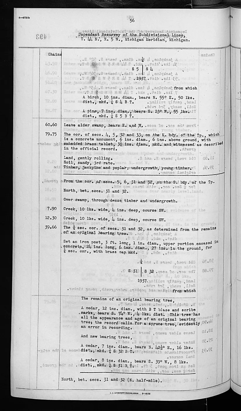
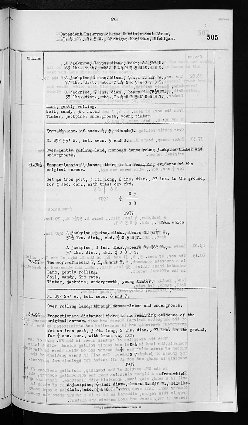
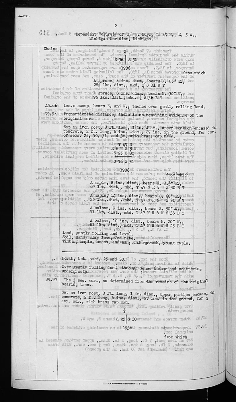
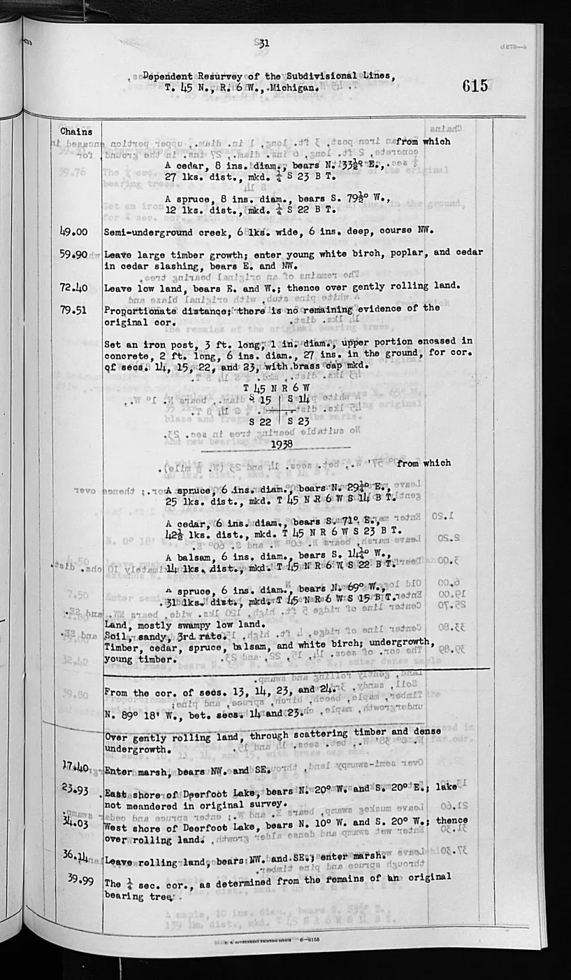
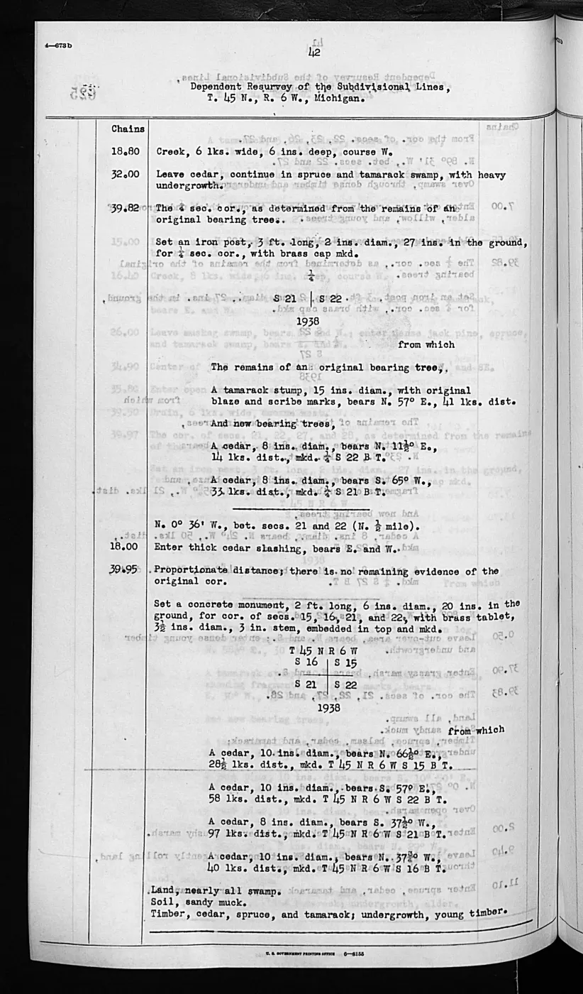
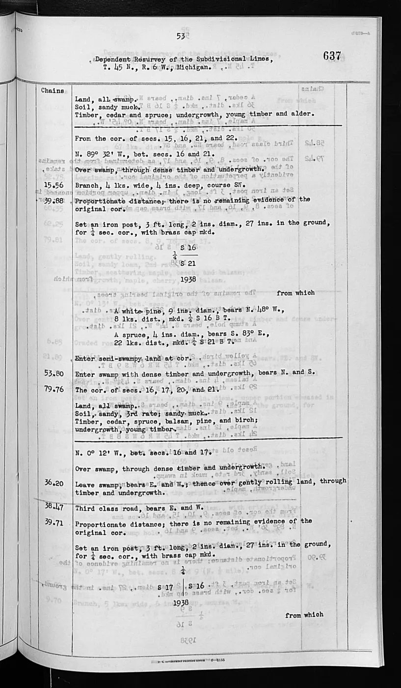
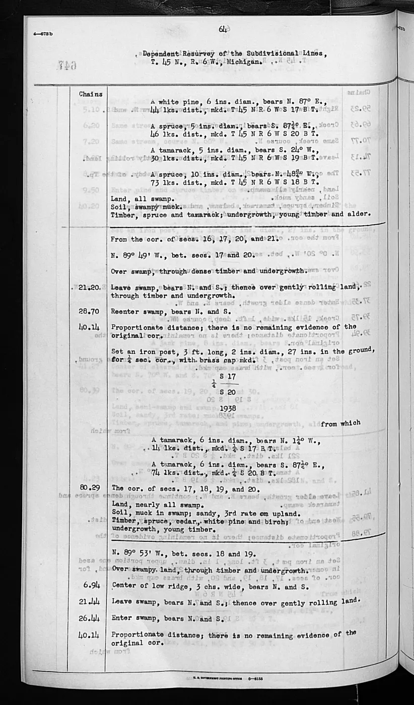
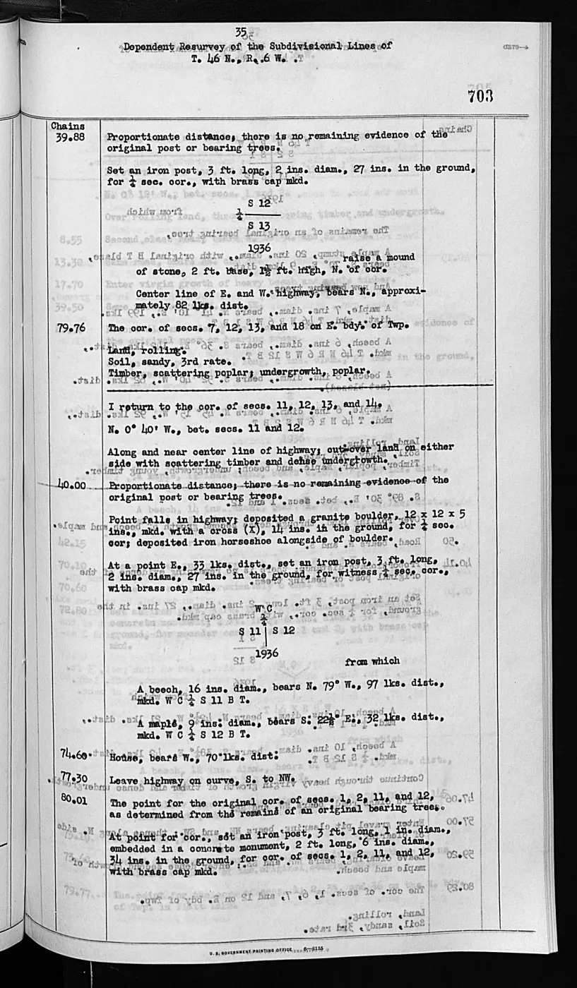
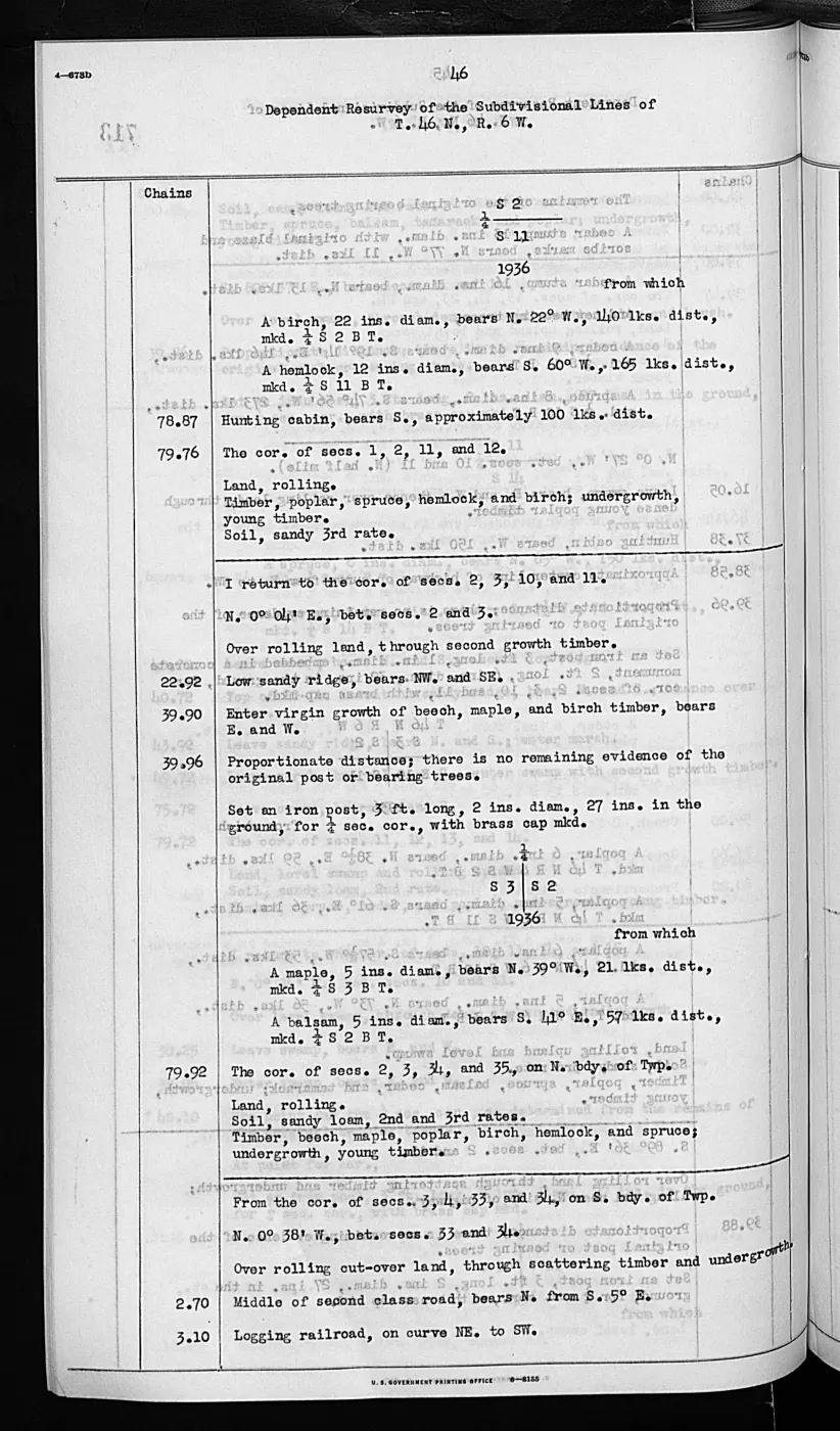
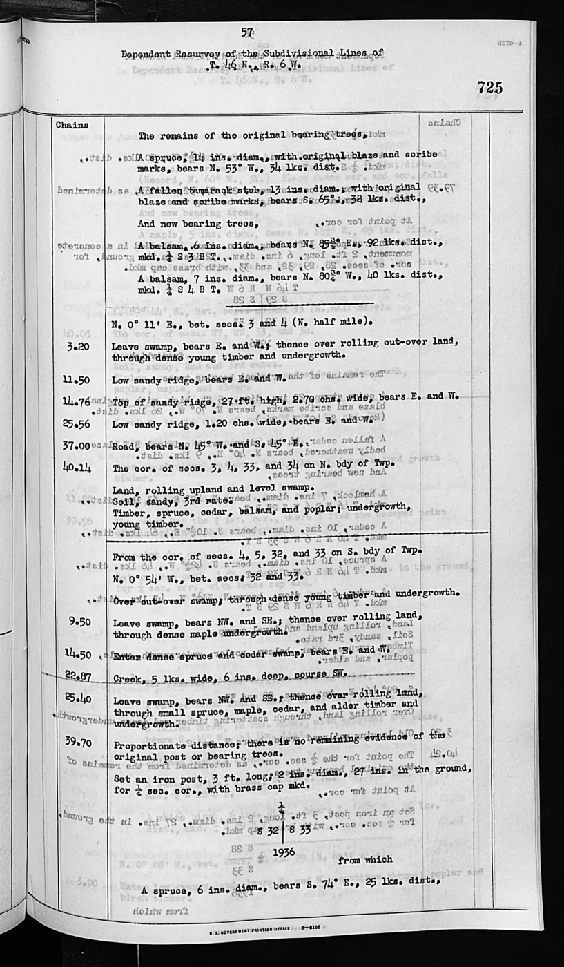
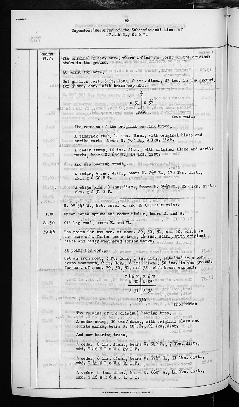

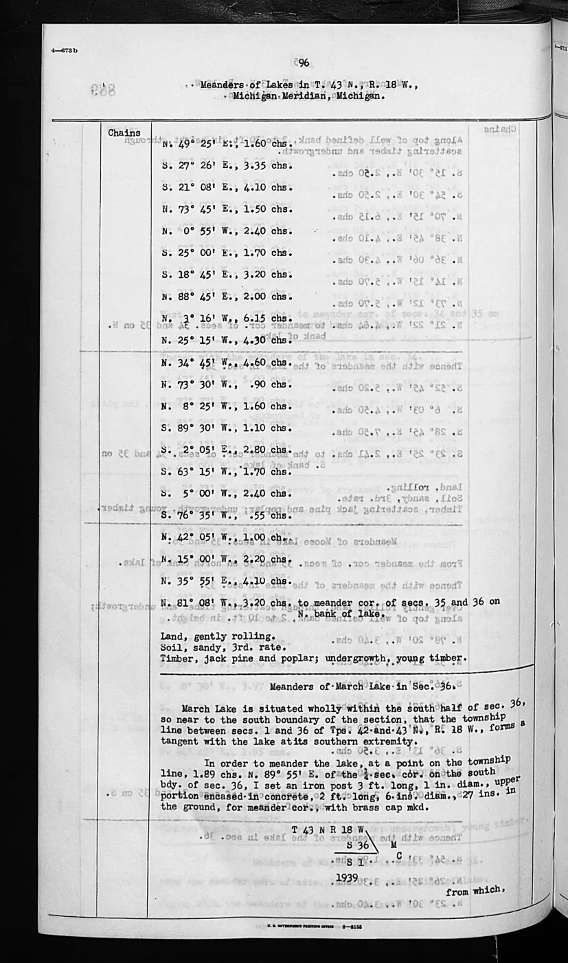
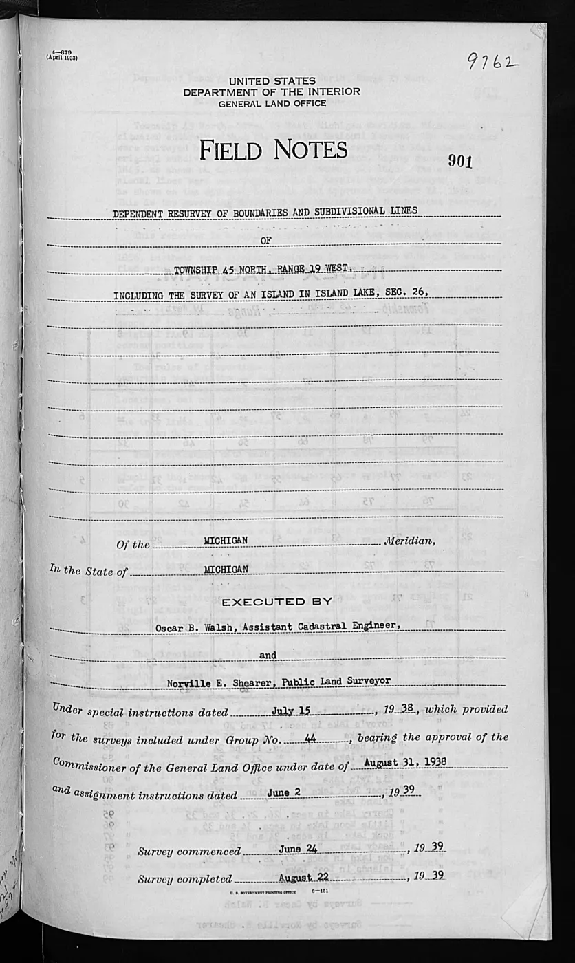
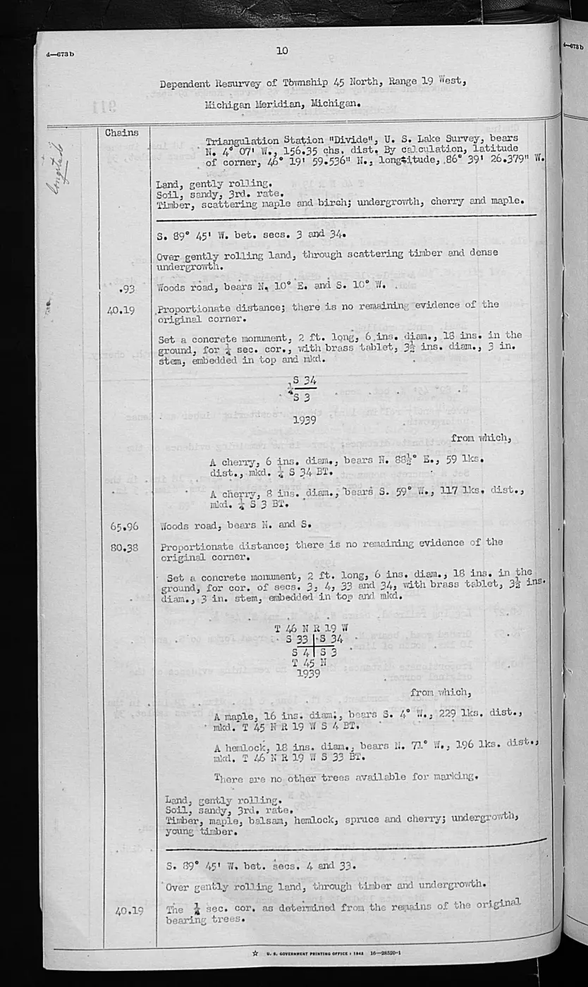
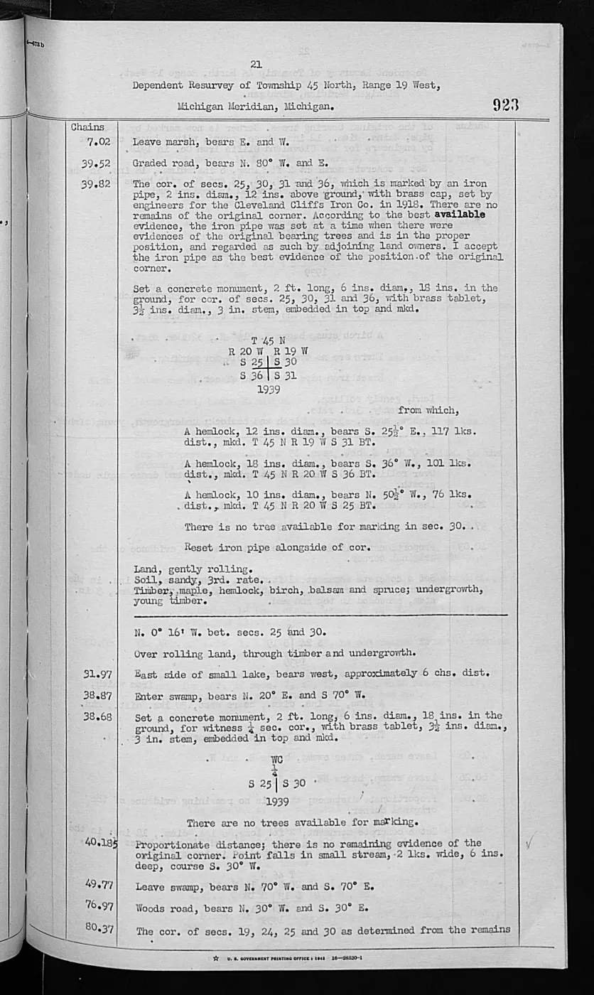
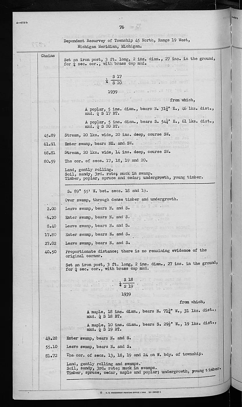
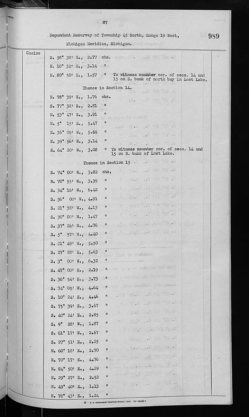
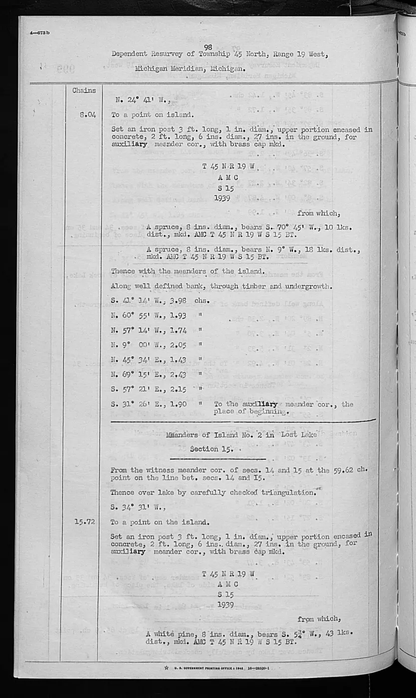
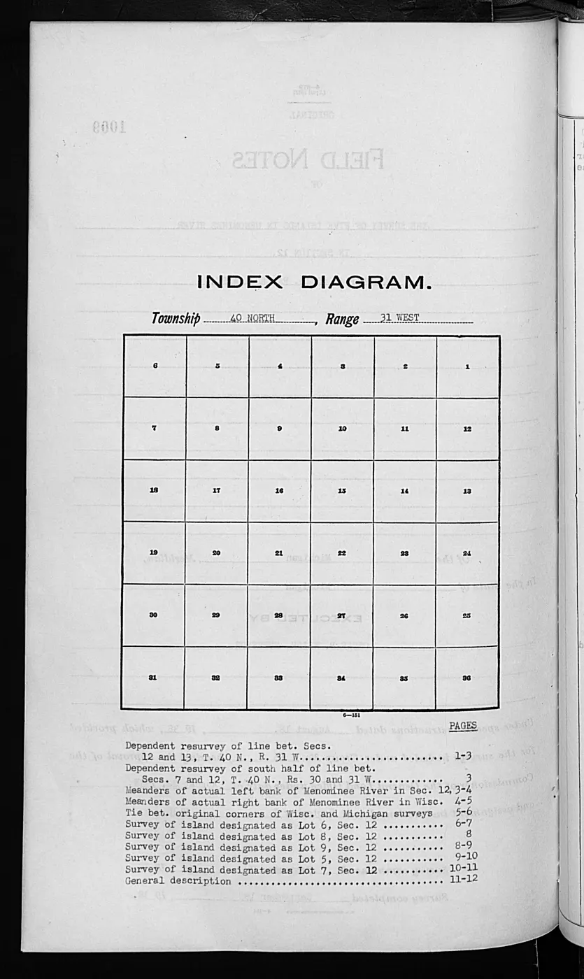
137 of 1,026 pages linked here — every page to 32, then every 11th, then the last 16. With JavaScript, every page.
Sources
- The typed public-domain pages are the source for the four records. Provider OCR is discovery-only; the crosswalk preserves page IDs, image checksums, and bounded readings. The holder's public portal is searchable but does not link this record directly; the archive holds a copy of the file and can provide it on request.federal · glo_field_notes · pdfs · 12095286418587320209-field-note-volume-276017
- Preserves terrain, shoreline, vegetation, disturbance, and explicit duck/gull nesting or resting observations without inferring current habitat polygons or population size. The holder's public portal is searchable but does not link this record directly; the archive holds a copy of the file and can provide it on request.research · land_cover · crosswalks · glo_modern_ecology_1942
- Project-generated visually verified page evidence and provenance sidecars.Evidence images are retained for Shoe pages 0762–0763 and Pismire pages 0774–0775. No public copy of this file is known; the archive holds one and can provide it on request.federal · glo_field_notes · page_evidence
- Project-generated GLO ecology observations joined to BLM PLSS context, 1845–1942.Described in this archive: GLO ecology observations joined to PLSS context, 1845–1942.Places the four 1942 records in exact township/range context while leaving section assignment unresolved. No public copy of this file is known; the archive holds one and can provide it on request.research · land_cover · crosswalks · glo_ecology_plss_context_1845_1942
Added 3 August 2026. Recent changes
Cite this article
Beaver Island Archive, “Visually verified GLO modern island ecology observations, 1942”, https://beaverislandarchive.org/documents/glo-modern-island-ecology-1942/, accessed [date], citing Bureau of Land Management, General Land Office Records, Field Note Volume 276017, visually verified pages 0762–0763 (Shoe Island) and 0774–0775 (Pismire Island), 1942. (and 3 further sources listed on the page).
Last revised 2026-08-03. Fill in [date] with the date you read it — this page is static and cannot know that.
BibTeX for “Visually verified GLO modern island ecology observations, 1942”RIS for “Visually verified GLO modern island ecology observations, 1942”