

- Dates
- 1849-06-23 – 1849-06-28
- Kind
- Observation
- Where
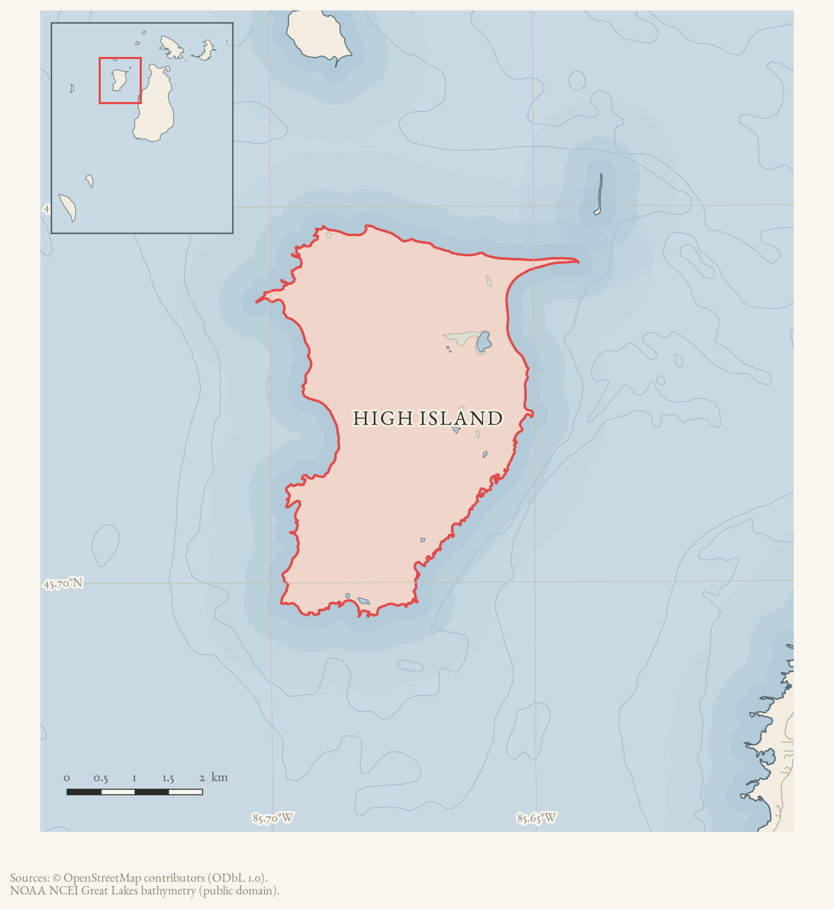
- High Island · Trout Island
- Carried out by
- William Ives, Deputy Surveyor
- Eras
- Early American era
- Concepts
- land-surveyheritagemaritimetoponymy
- Within
- Beaver Island archipelago
Summary
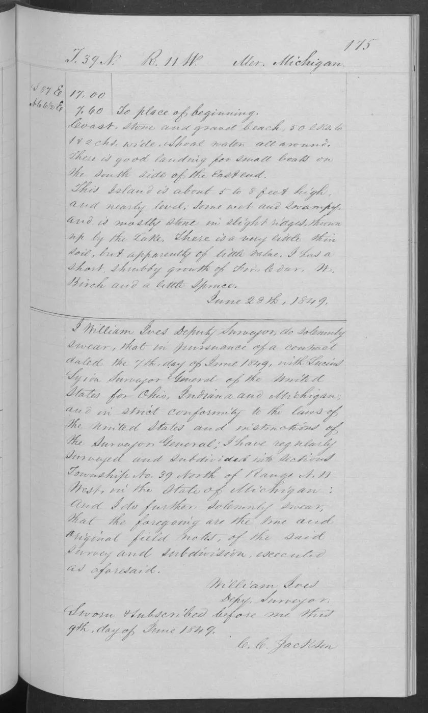
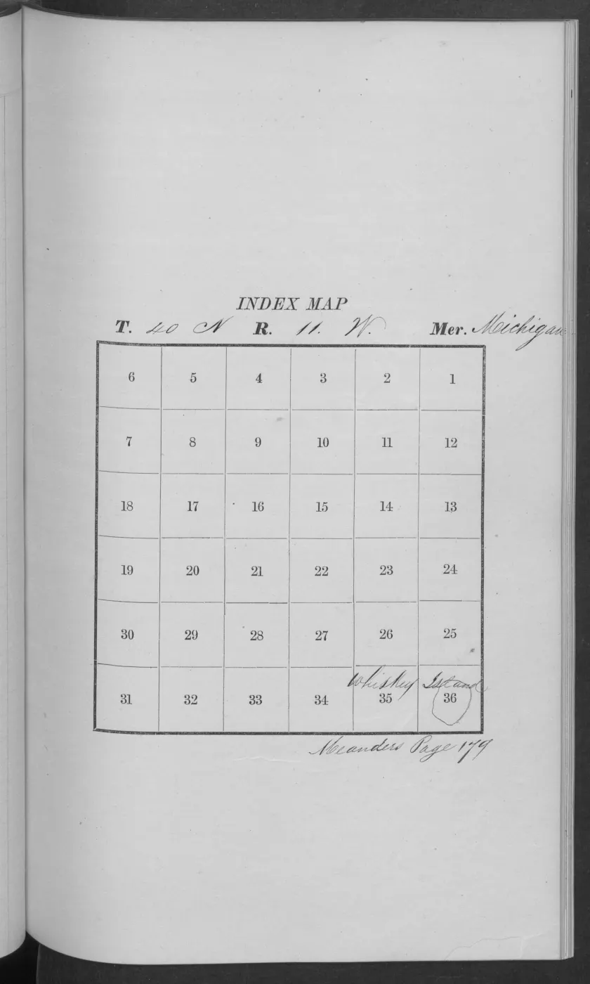
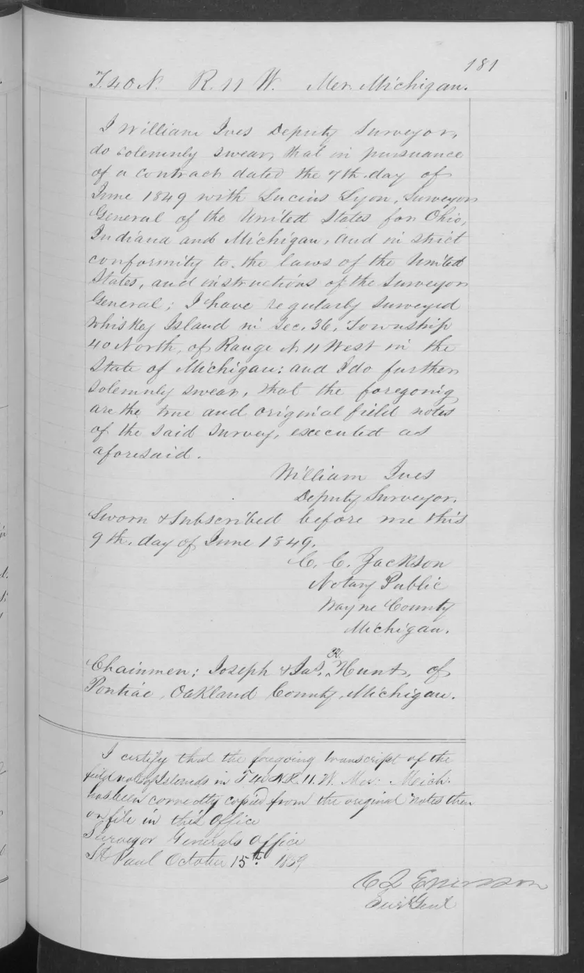
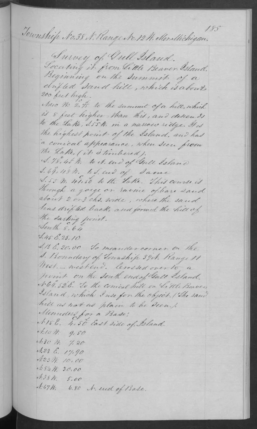
The BLM record dates a federal Survey of Islands covering Little Beaver and Trout islands from 23 through 28 June 1849. It names William Ives as Deputy Surveyor. The related field notes directly call High Island “Little Beaver, or High Island,” while locating the work from Big Beaver Island.
The event connects the survey record to both islands without treating either the survey date or its descriptive text as evidence of later ownership, settlement, or present boundaries.
Evidence and limits
The exact date interval and surveyor are from the retained BLM detail metadata; the held image confirms the historical paired form for High Island and the field-notes connection. The source record does not resolve Indigenous place names, establish a legal renaming, or determine a modern land parcel or area.
Open questions
- Which additional field-note pages describe Trout Island directly, and can those readings be checked against the page images?
- Do the linked 1849 plats preserve the same “Little Beaver”/“High Island” naming or add a different survey-stage date?
See also
Read the document
406 pages, rendered from the held scan.
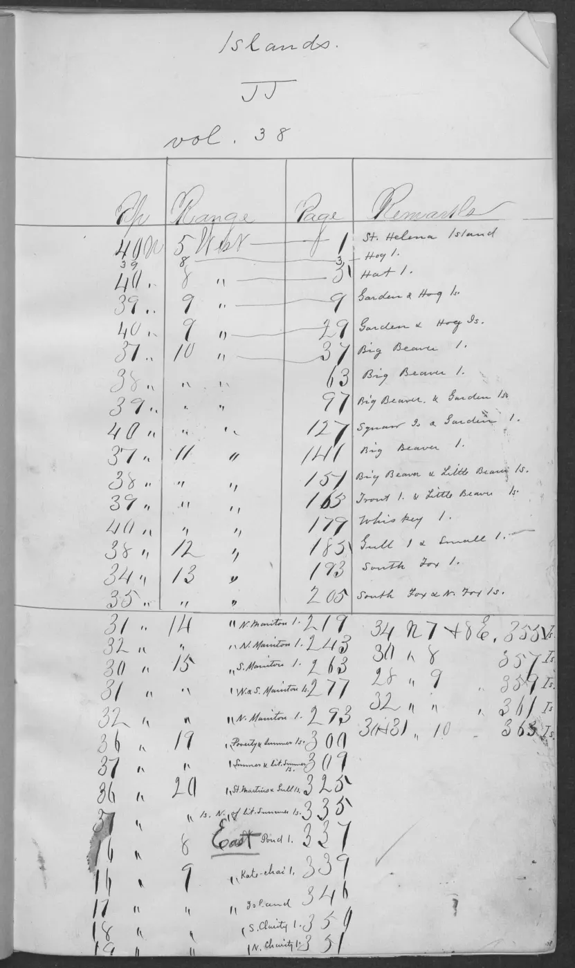
Jump to a page — 406 in all
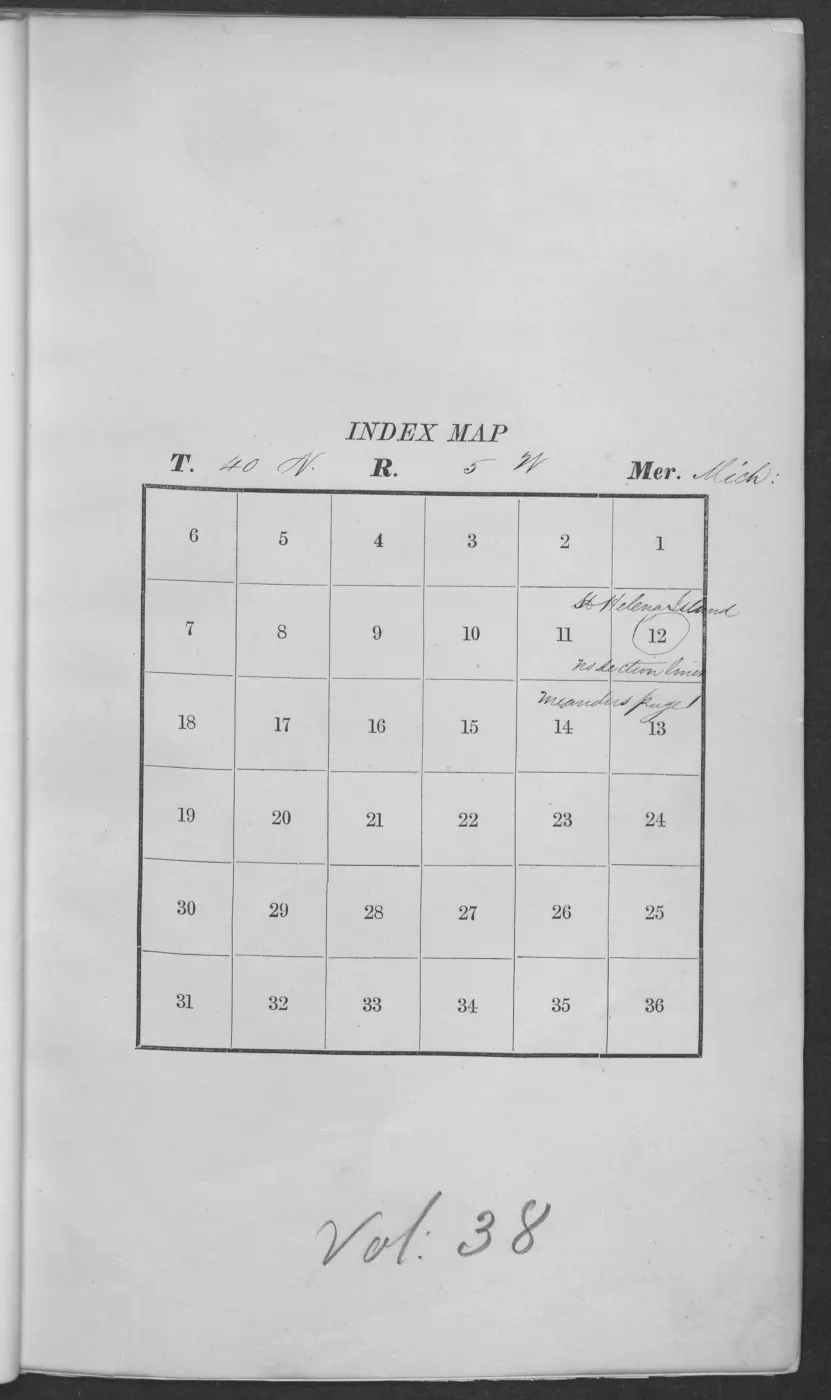
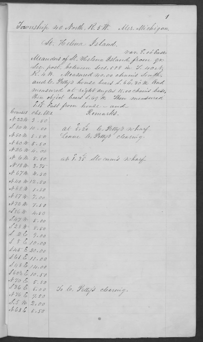
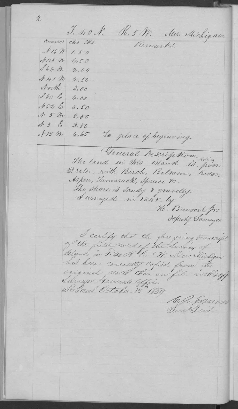
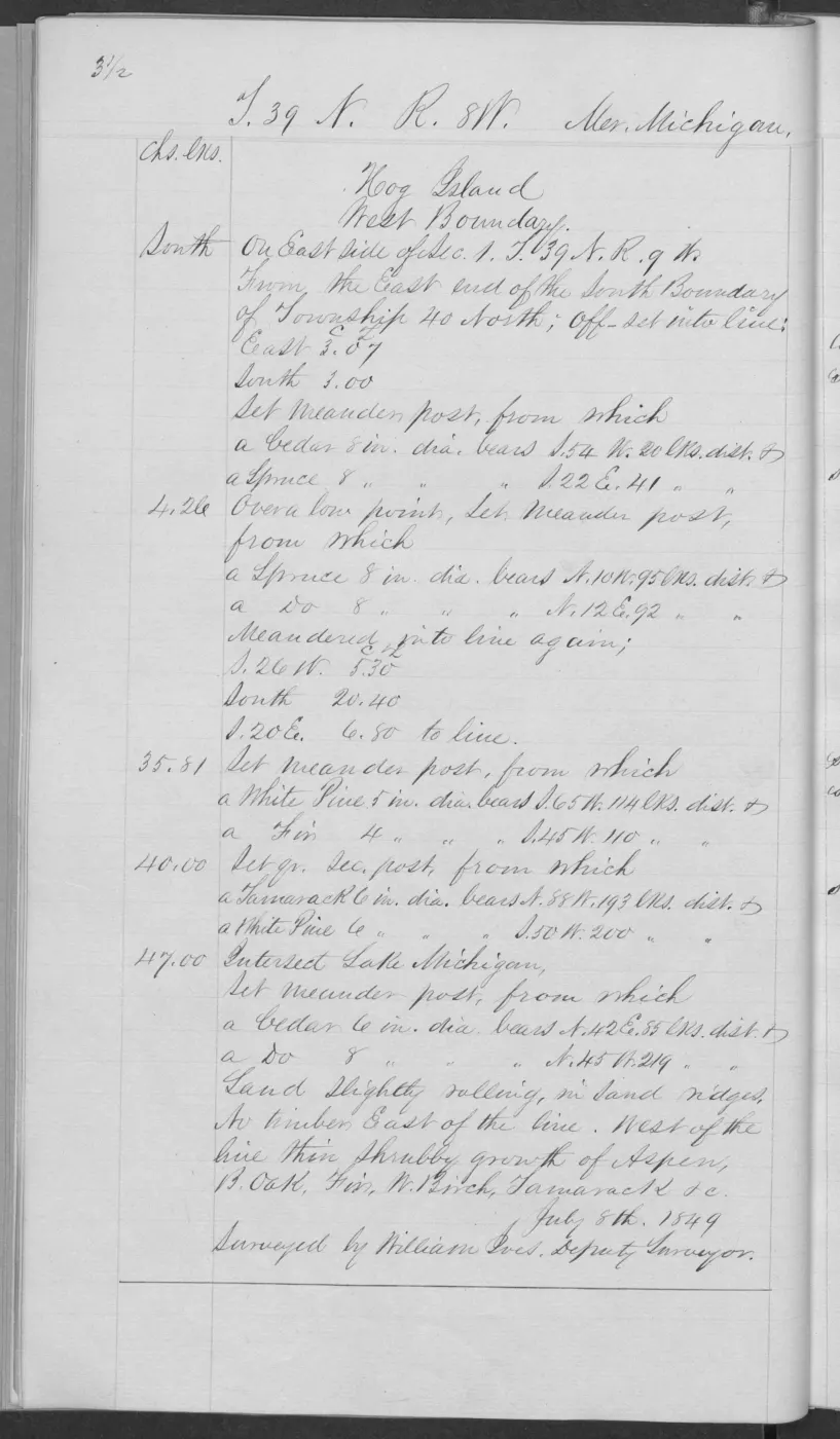
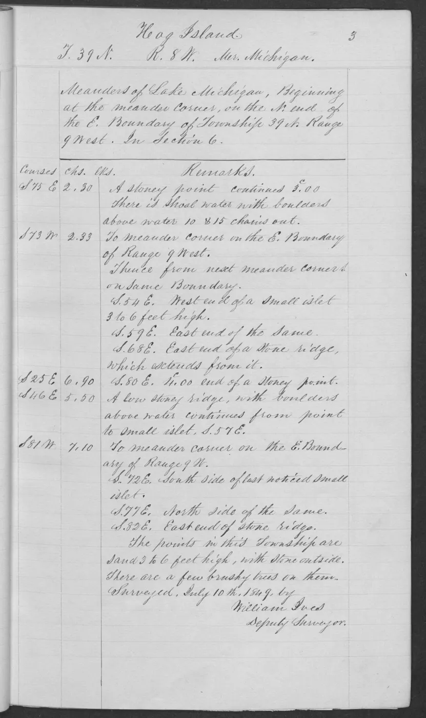
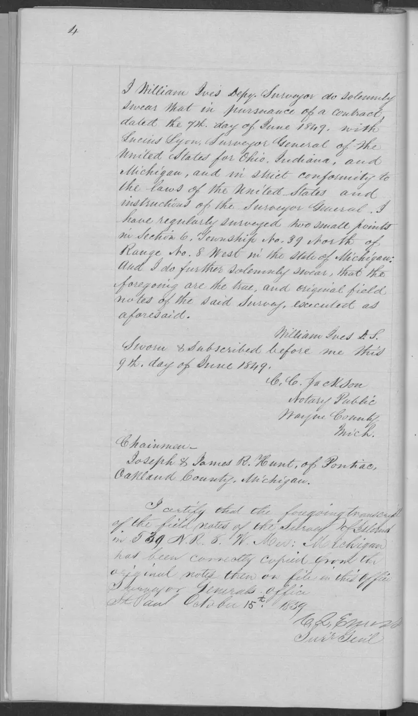
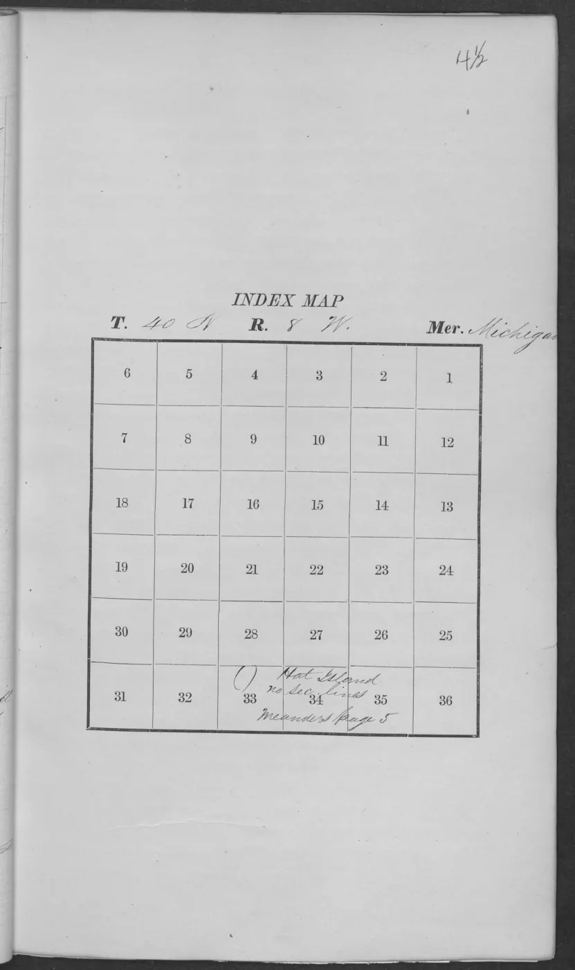
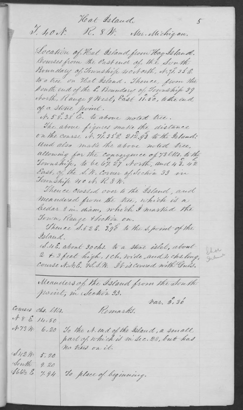
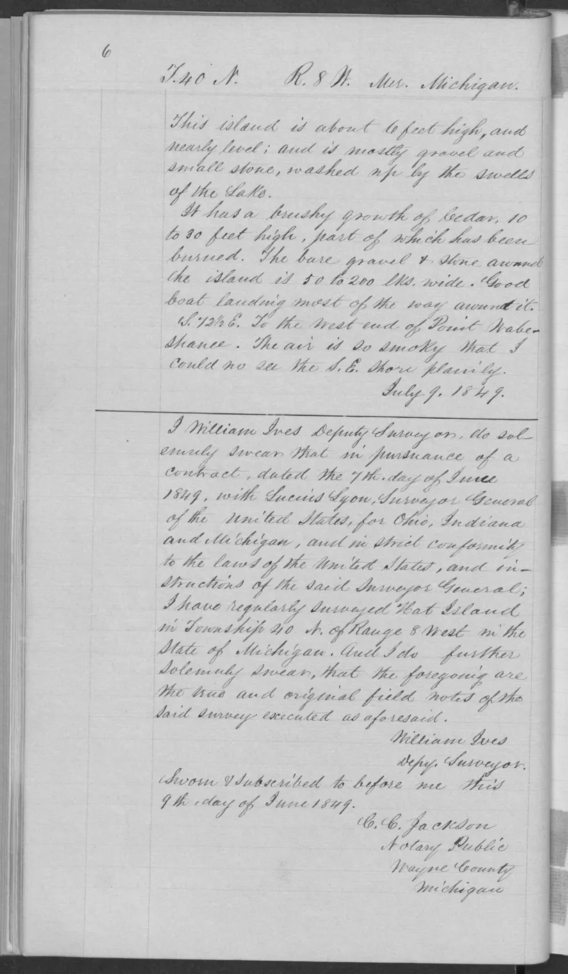
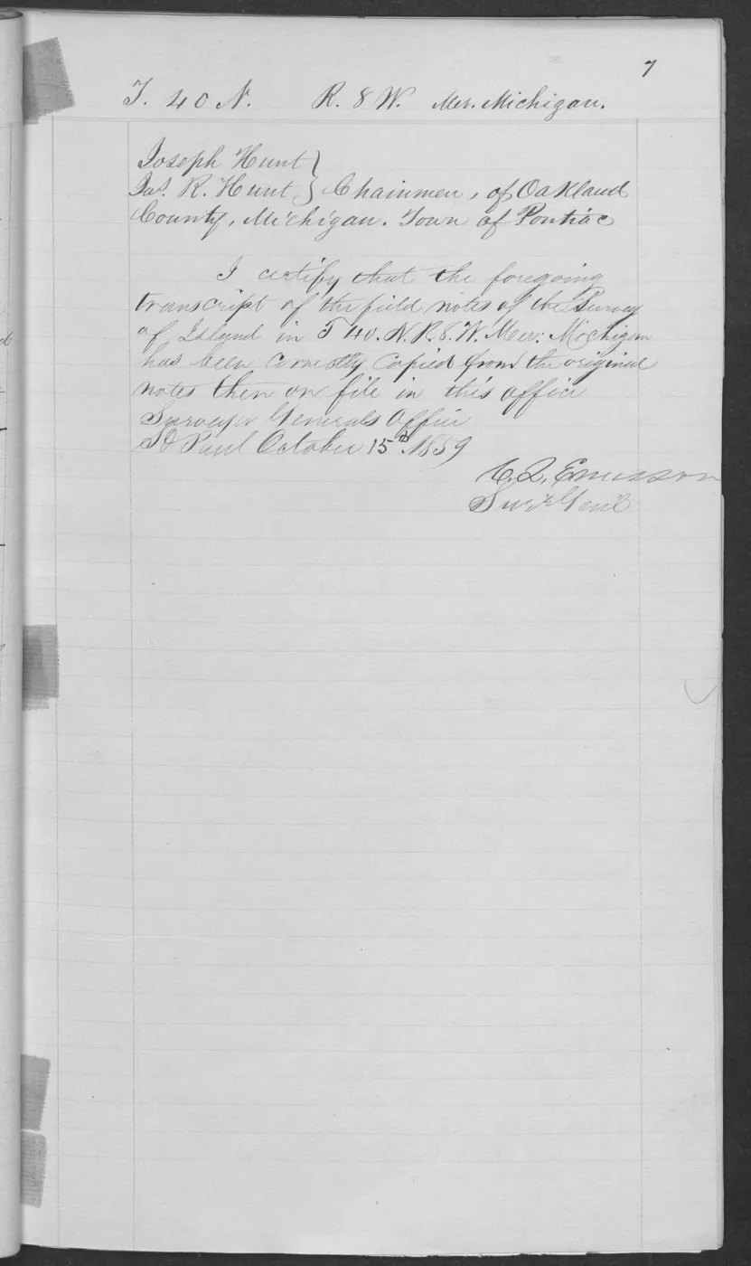
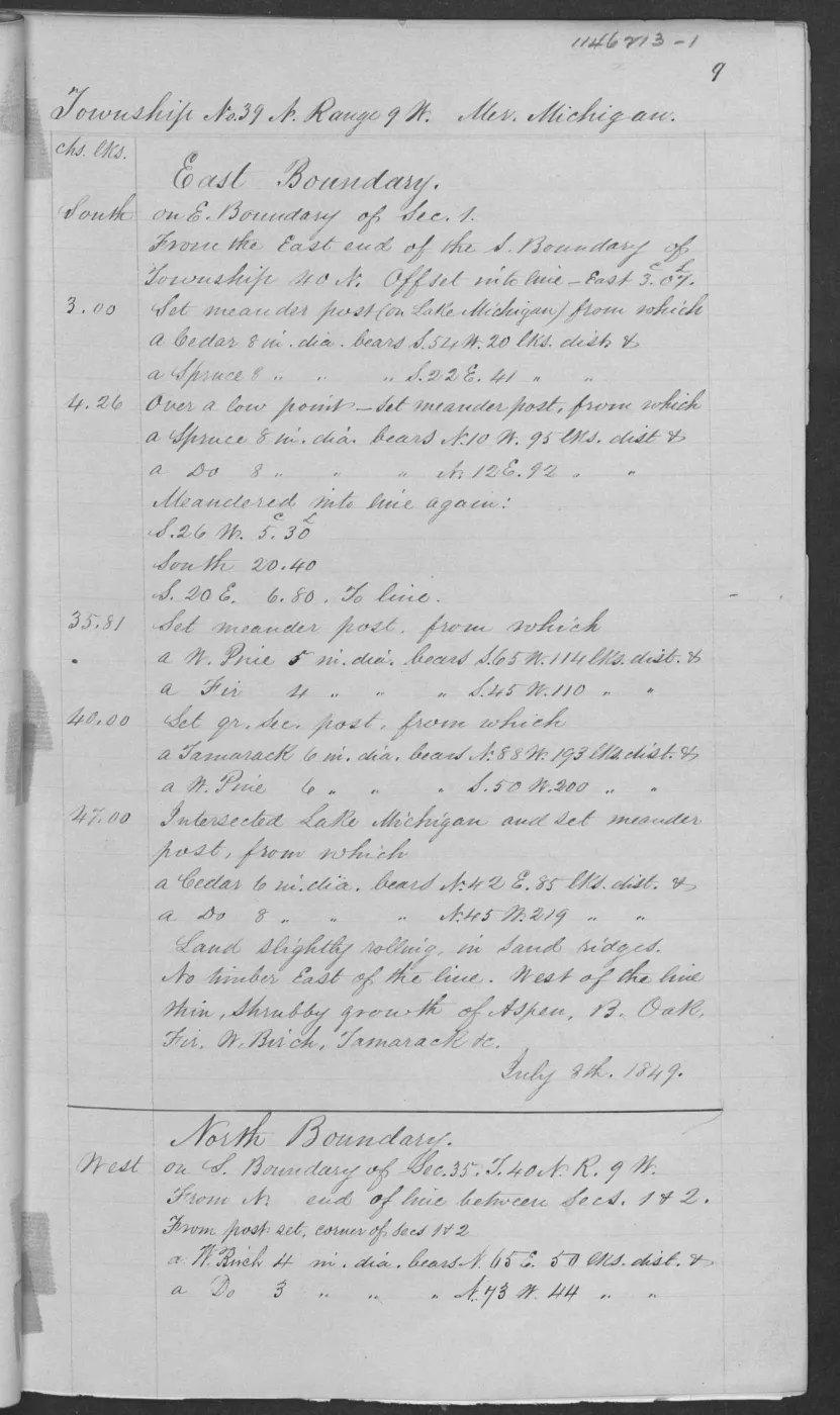
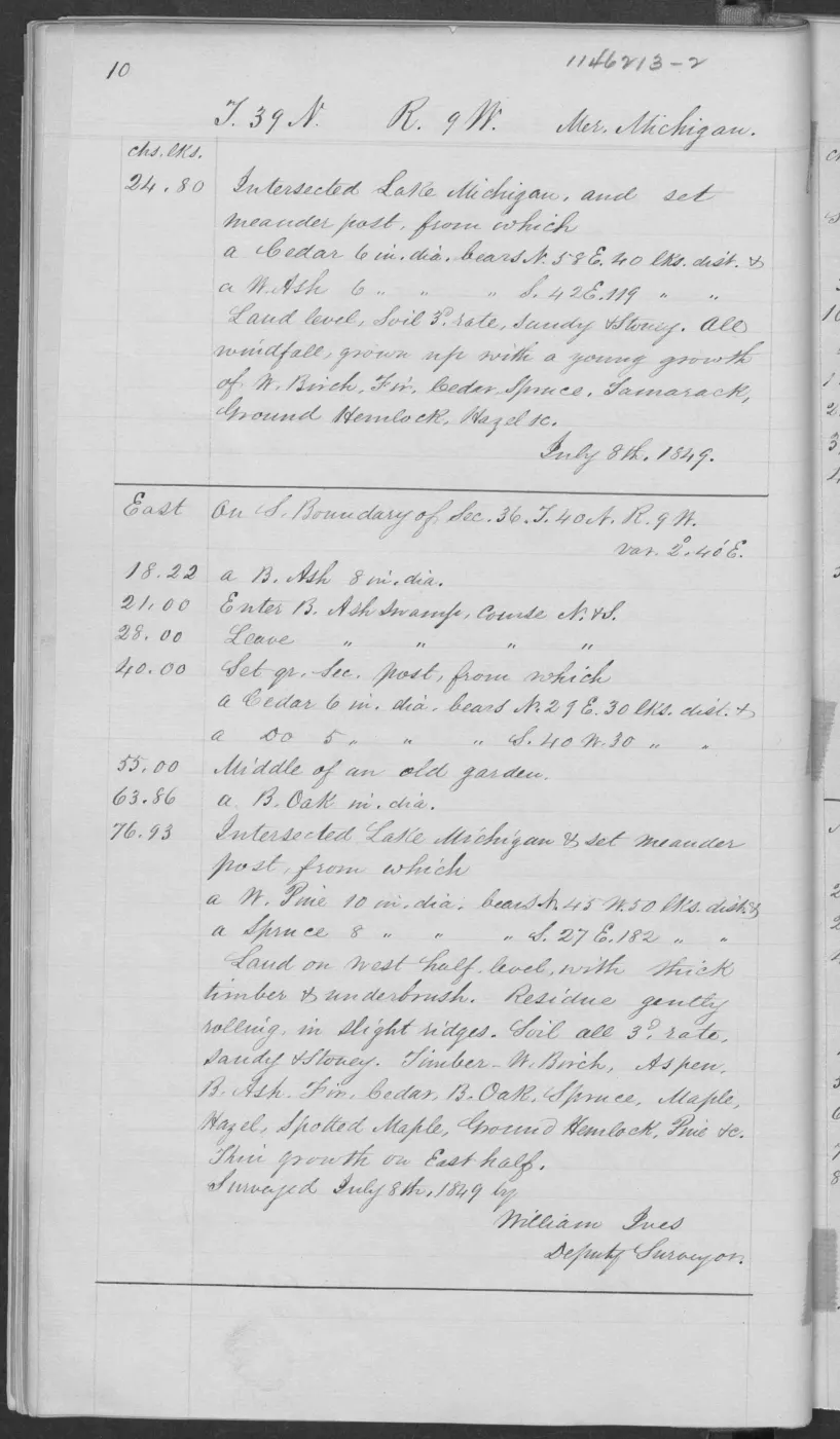
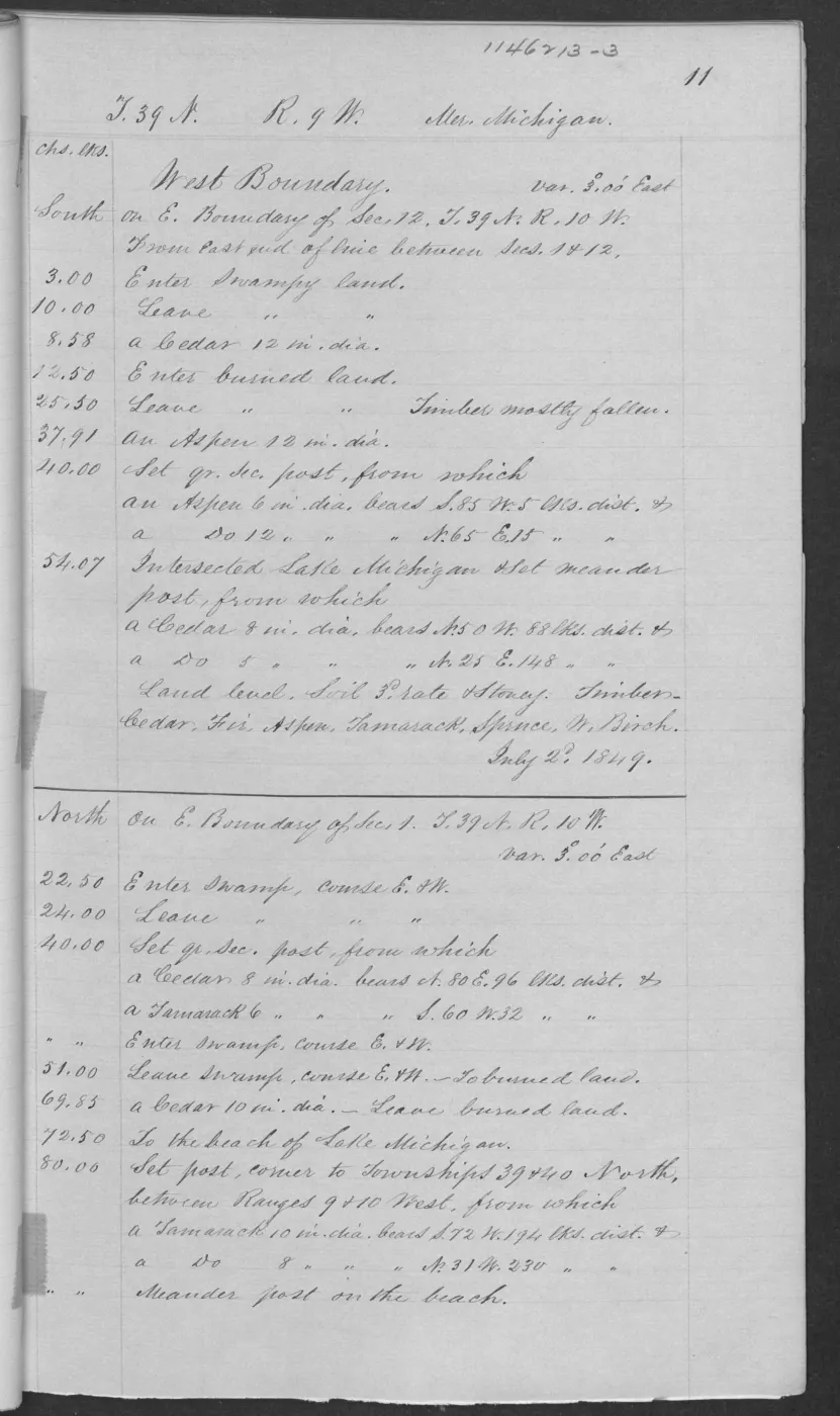
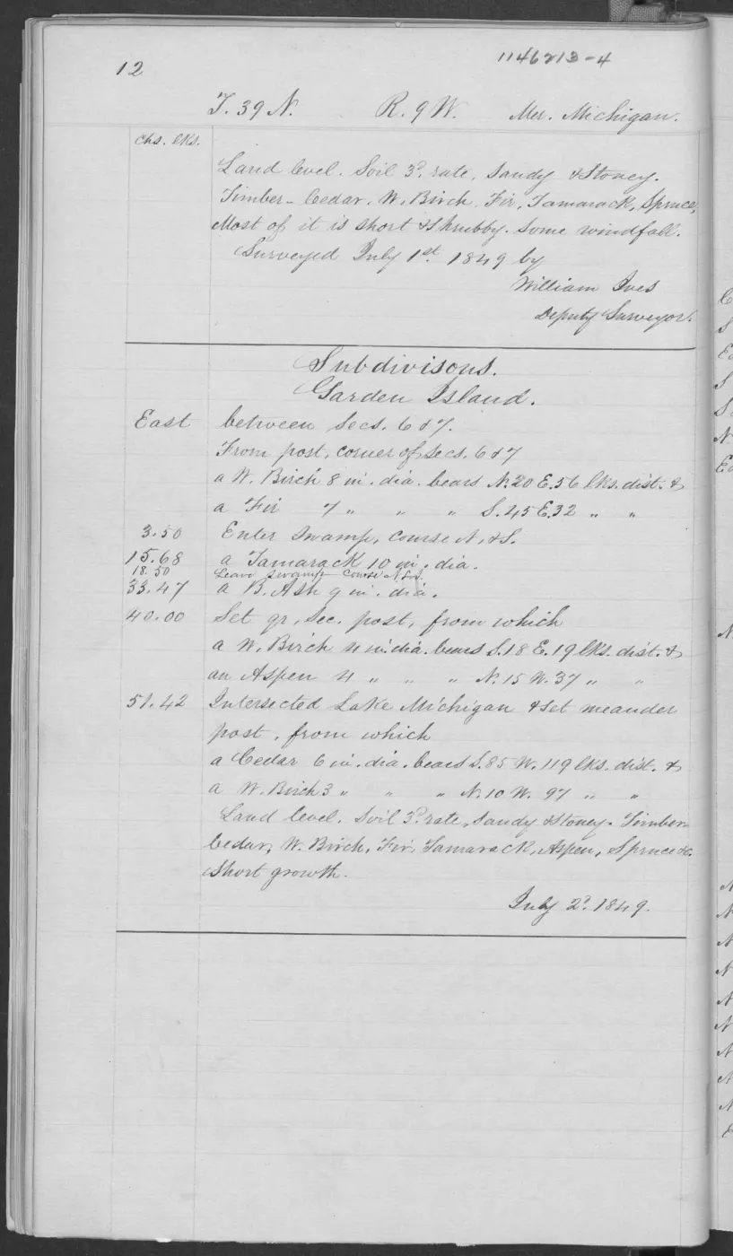
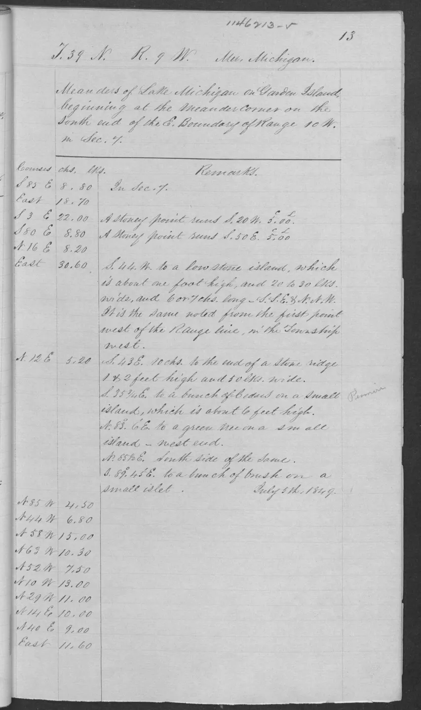
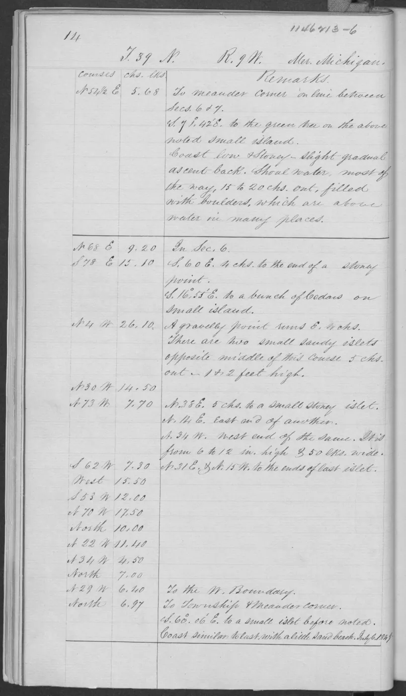
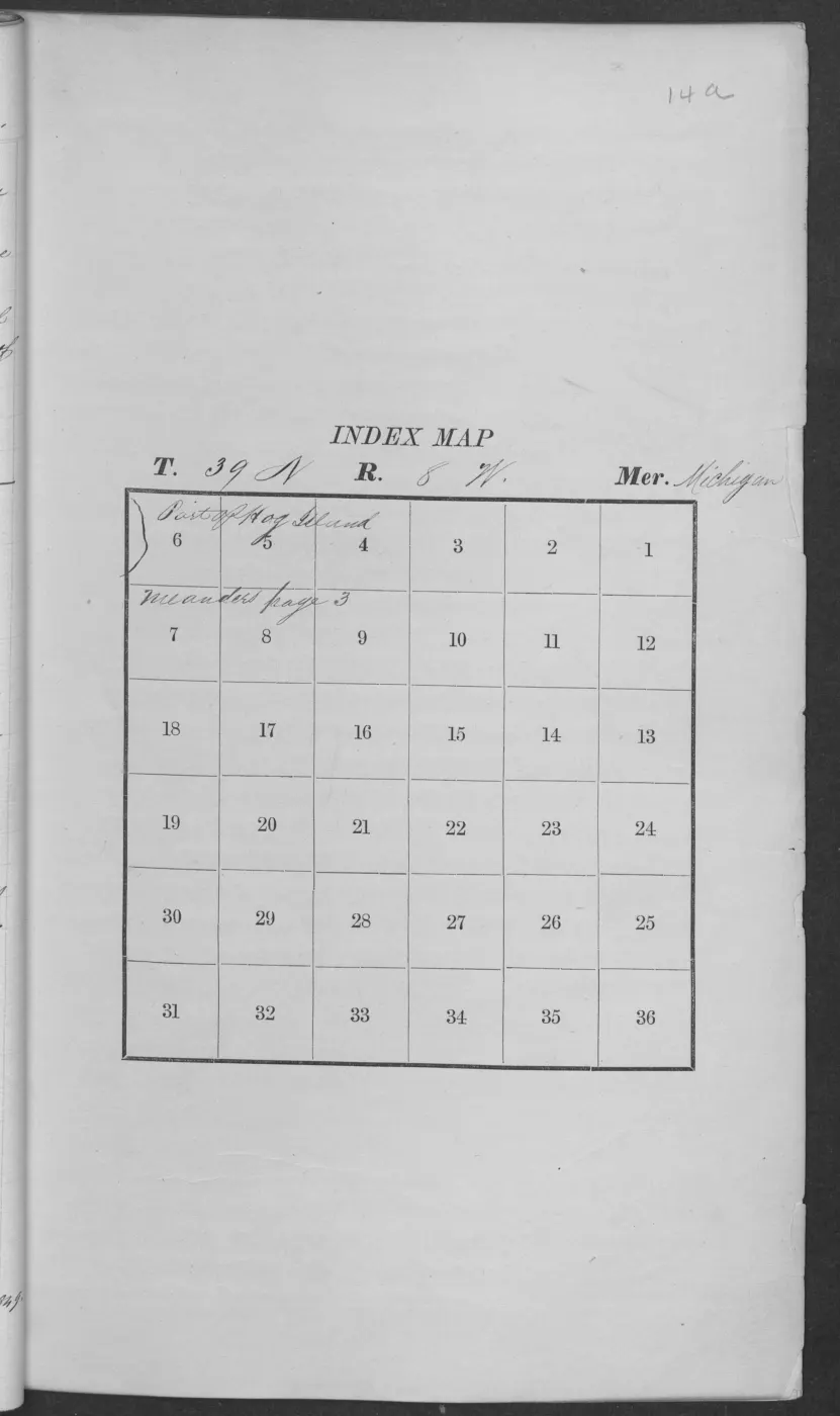
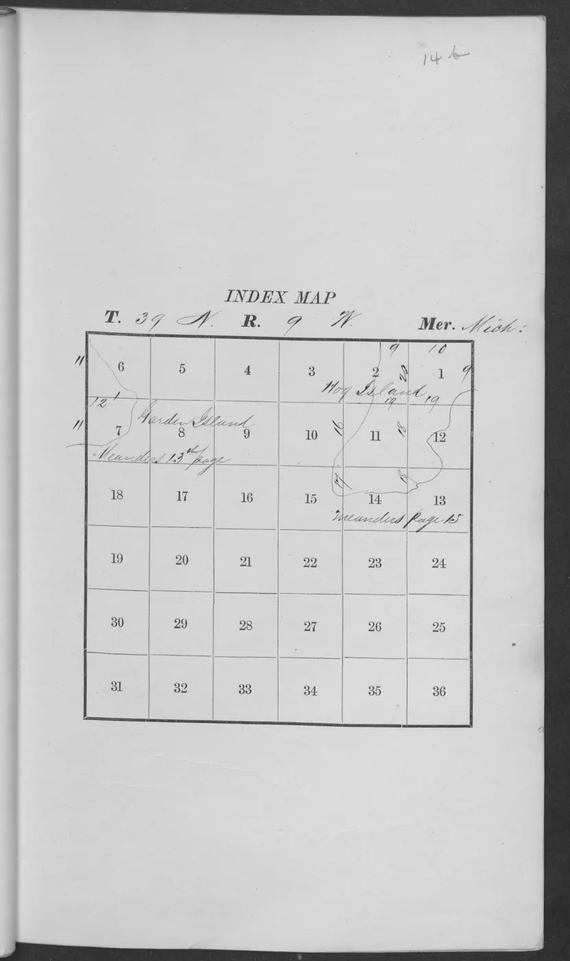
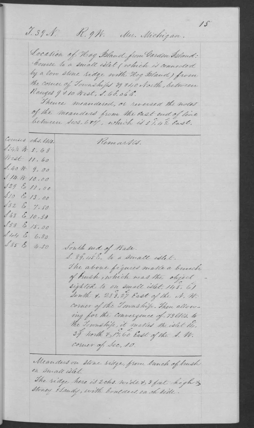
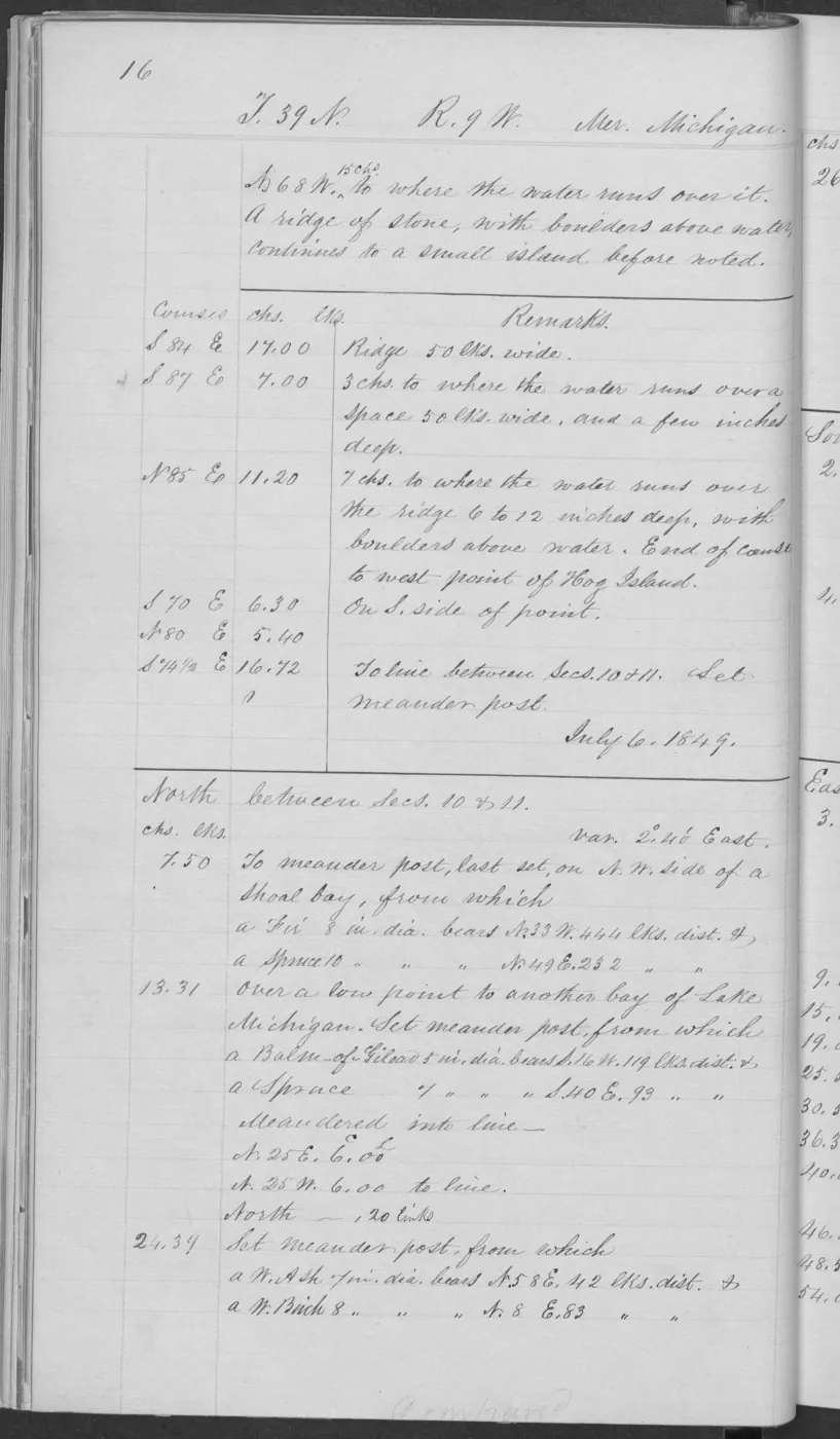
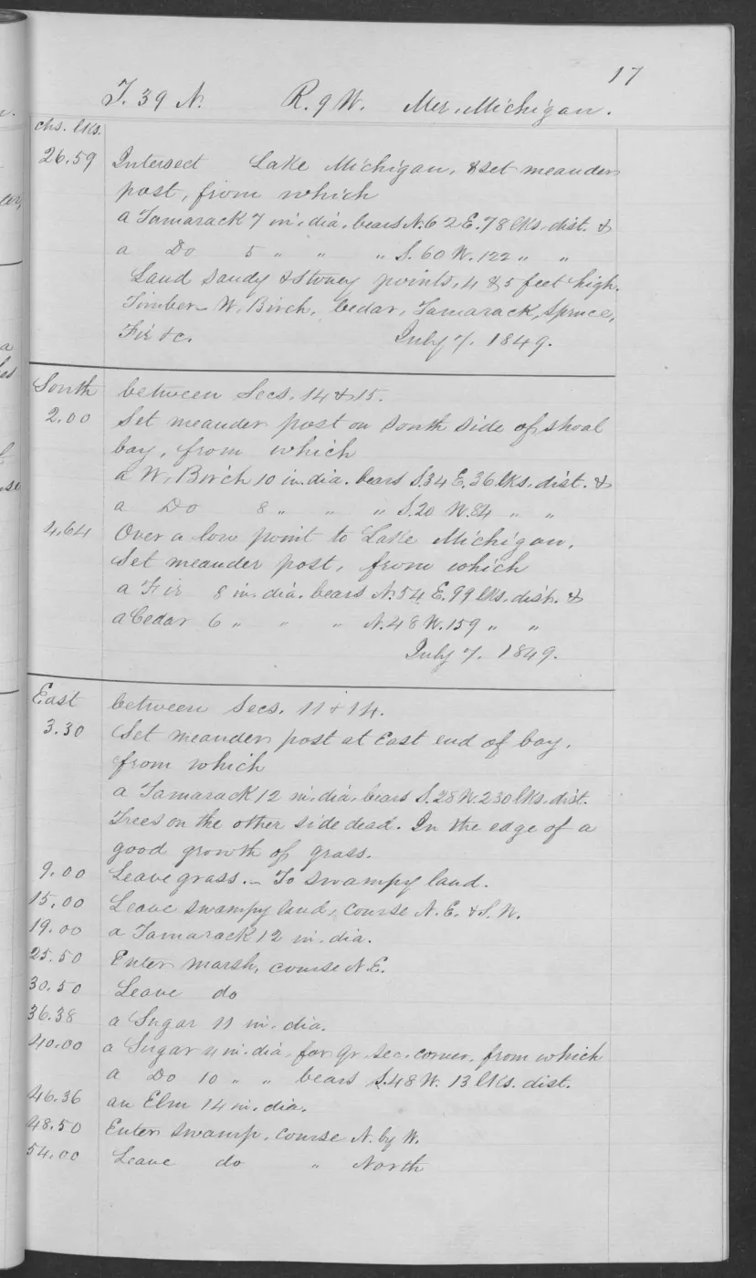
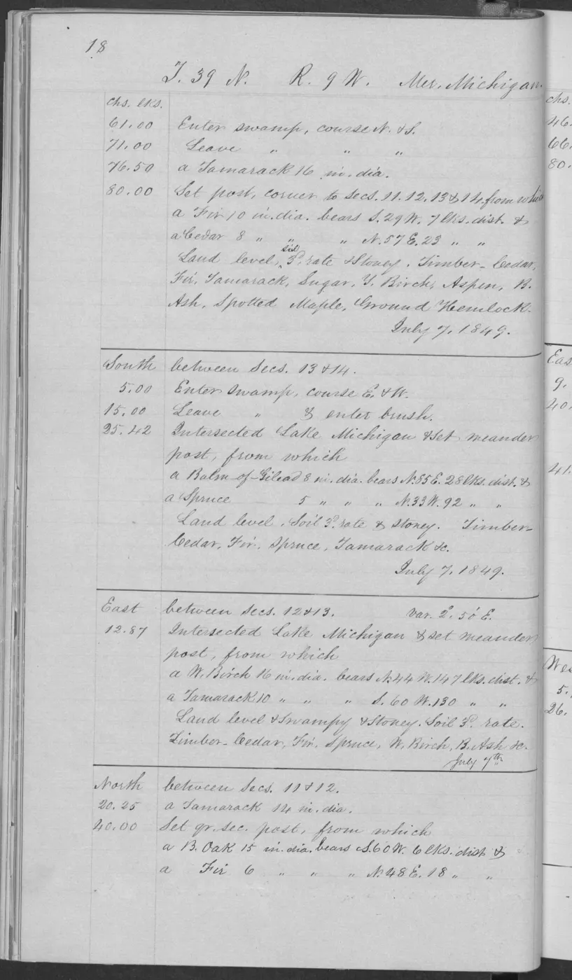
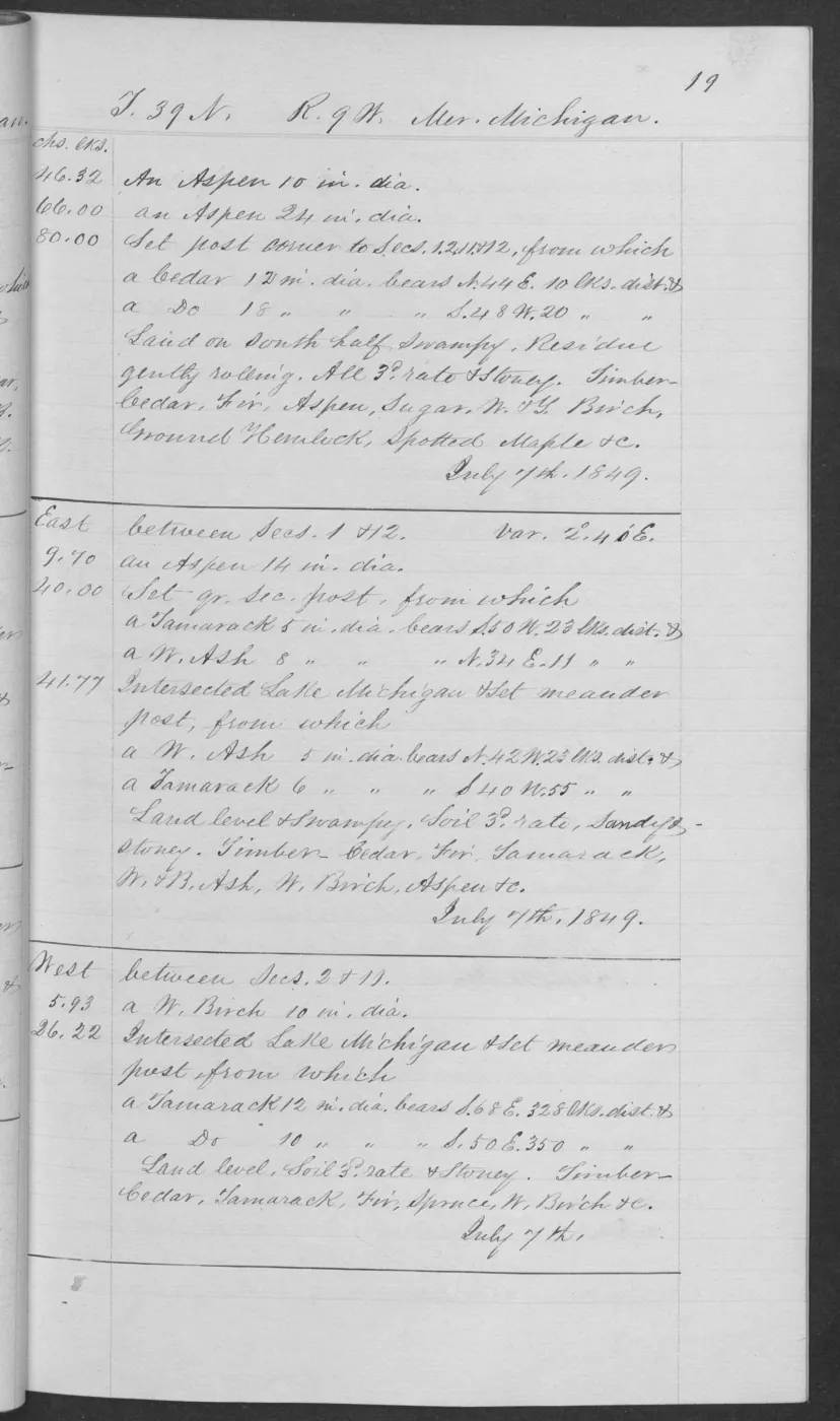
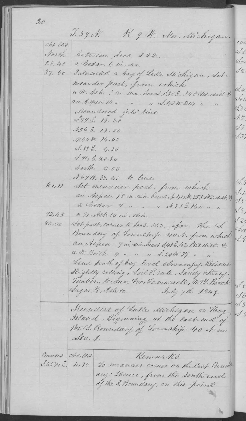
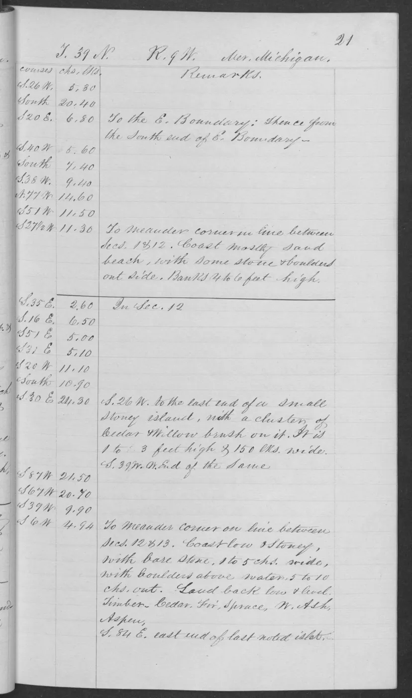
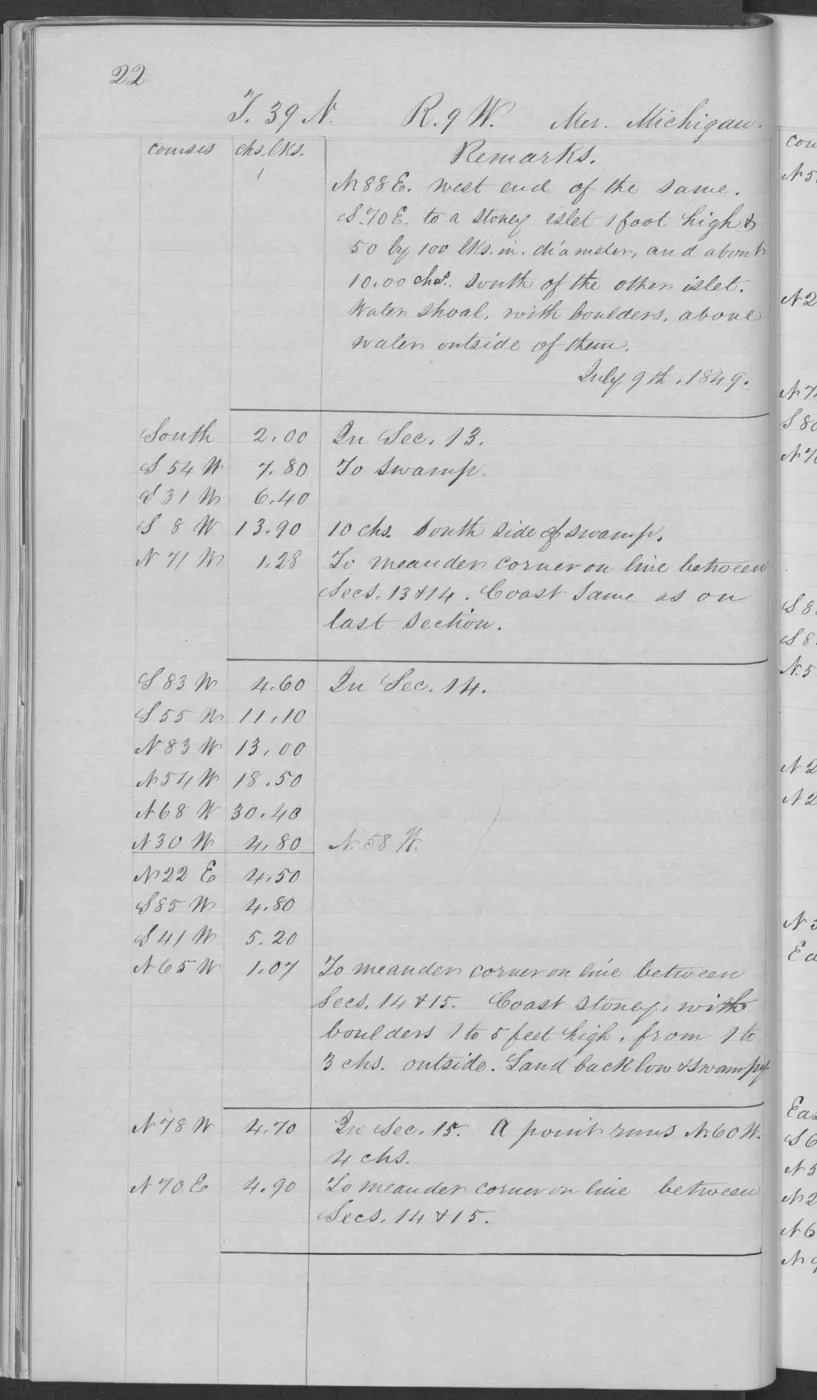
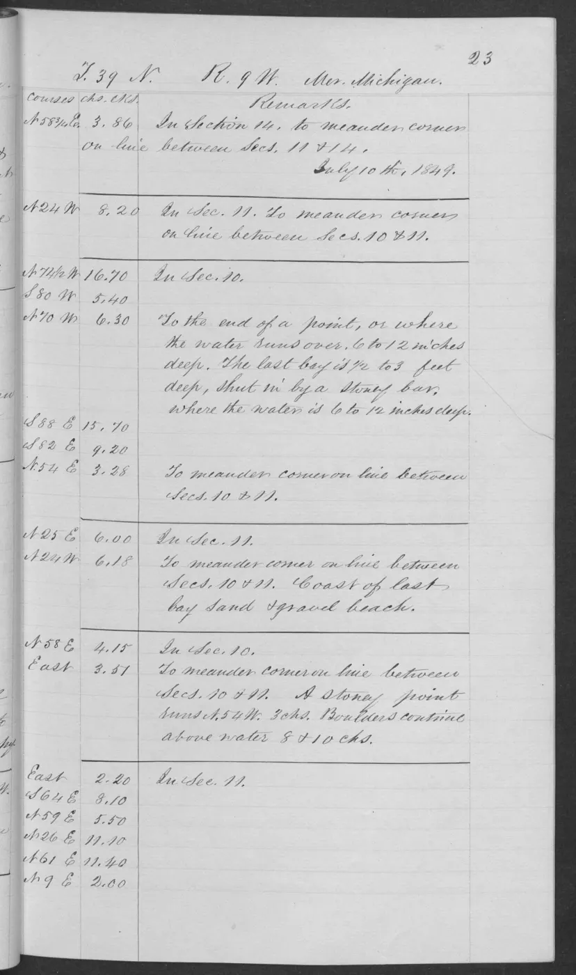
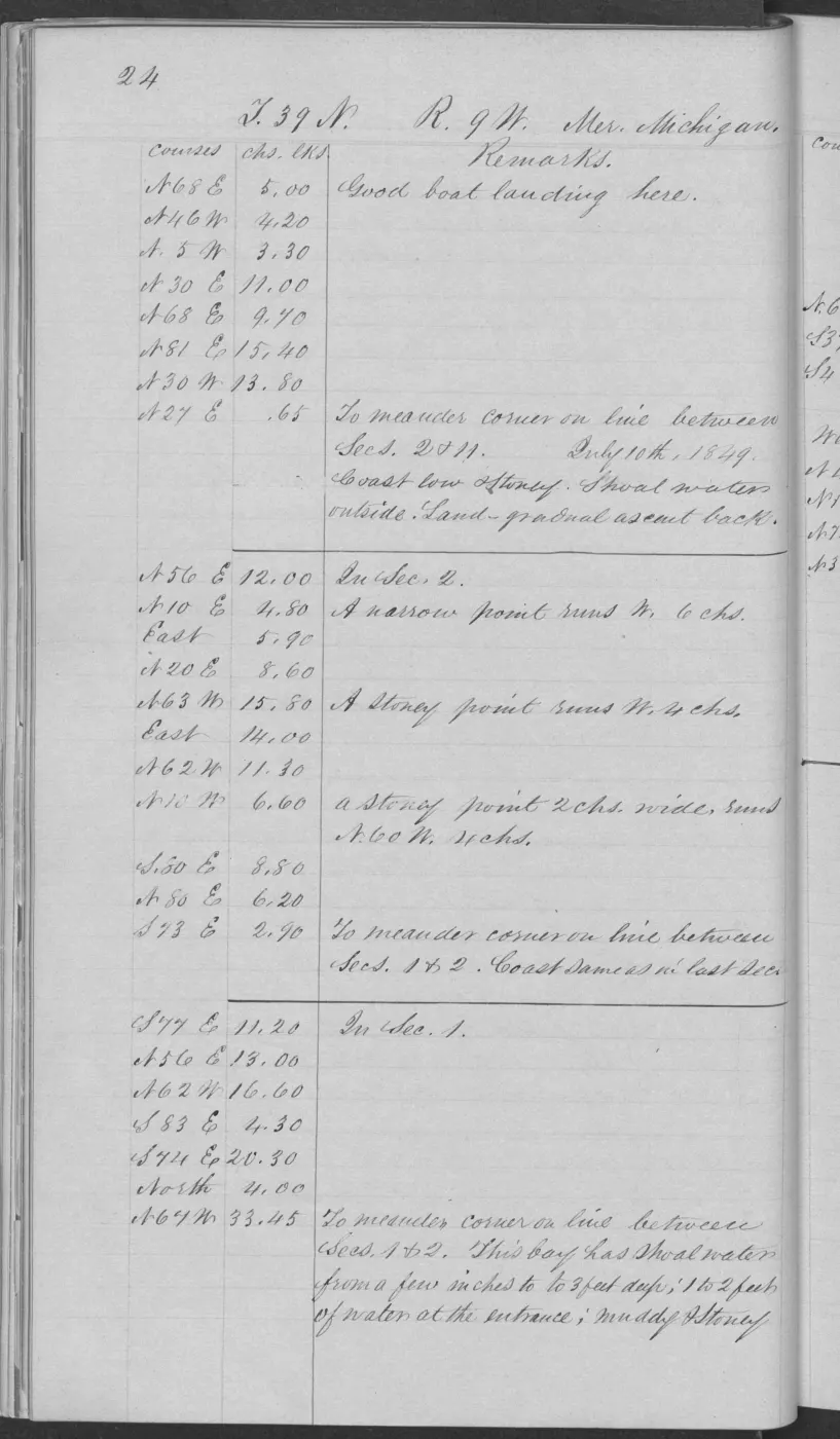
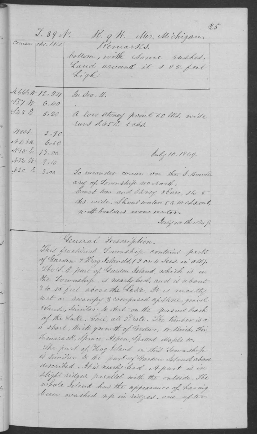
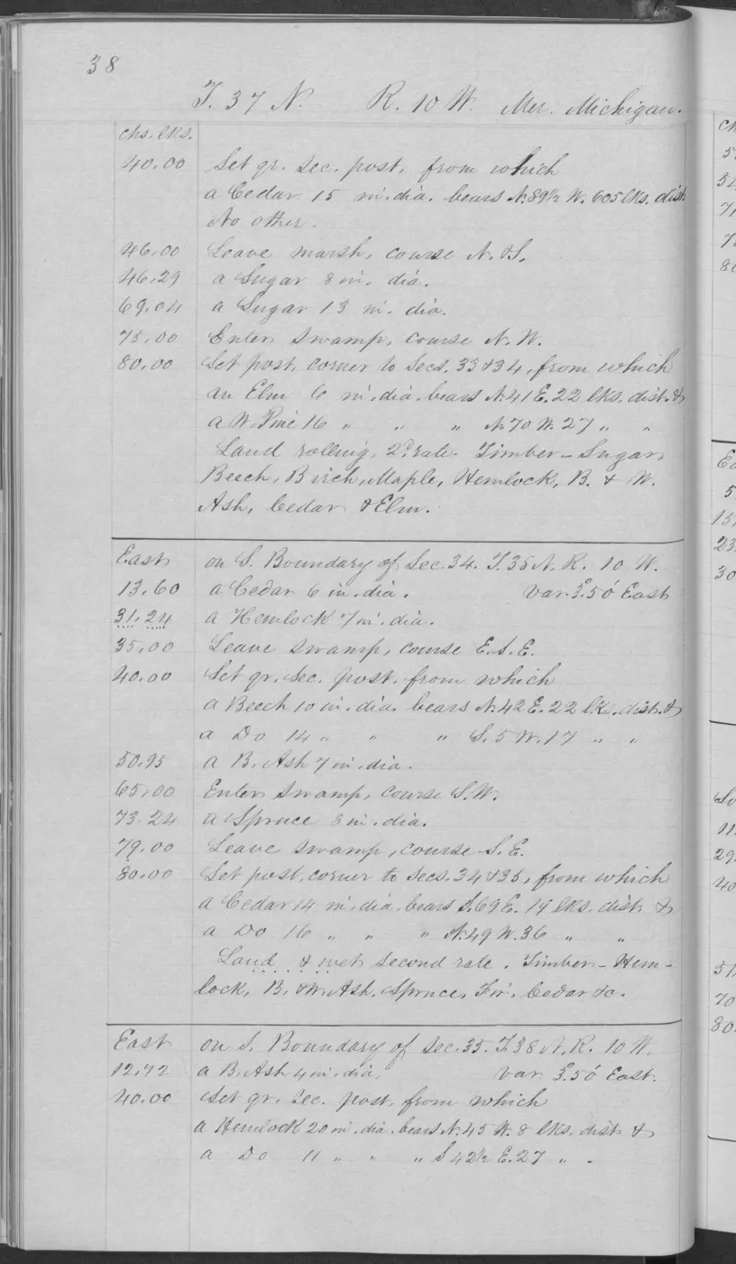
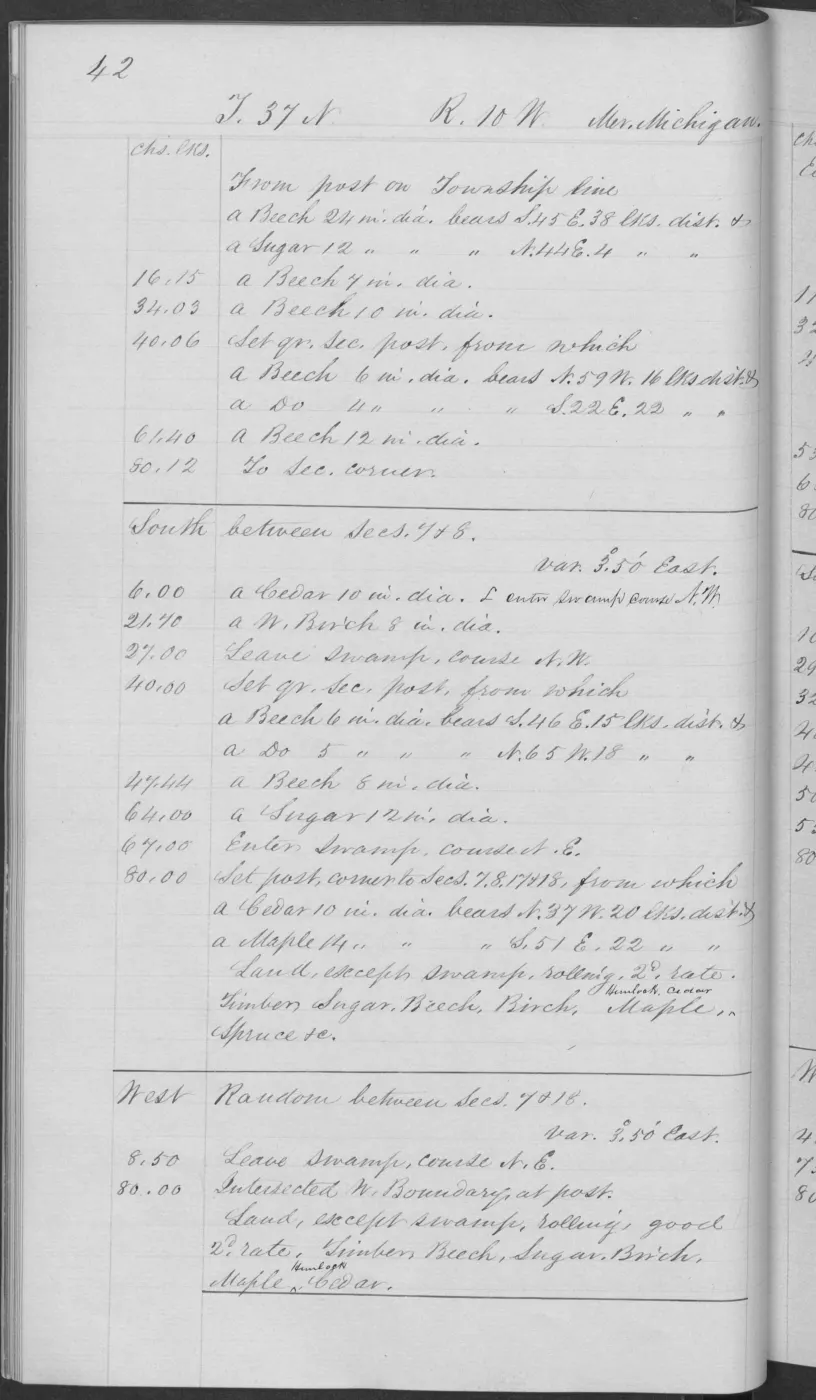
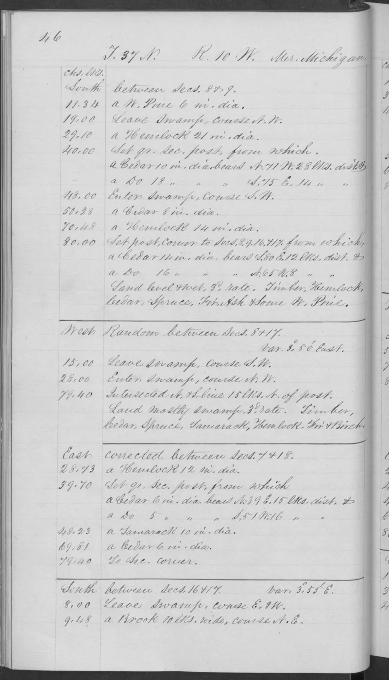
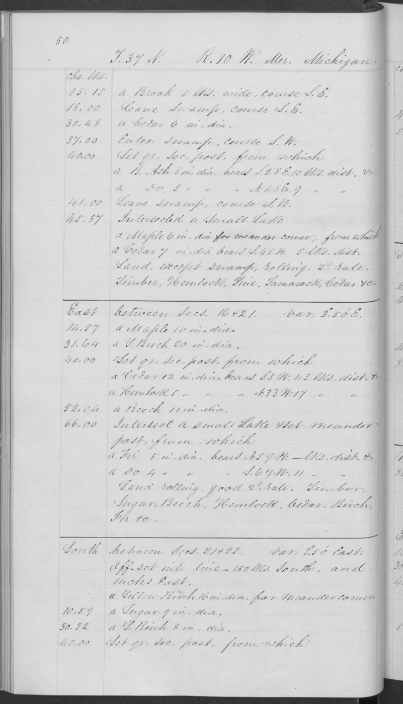
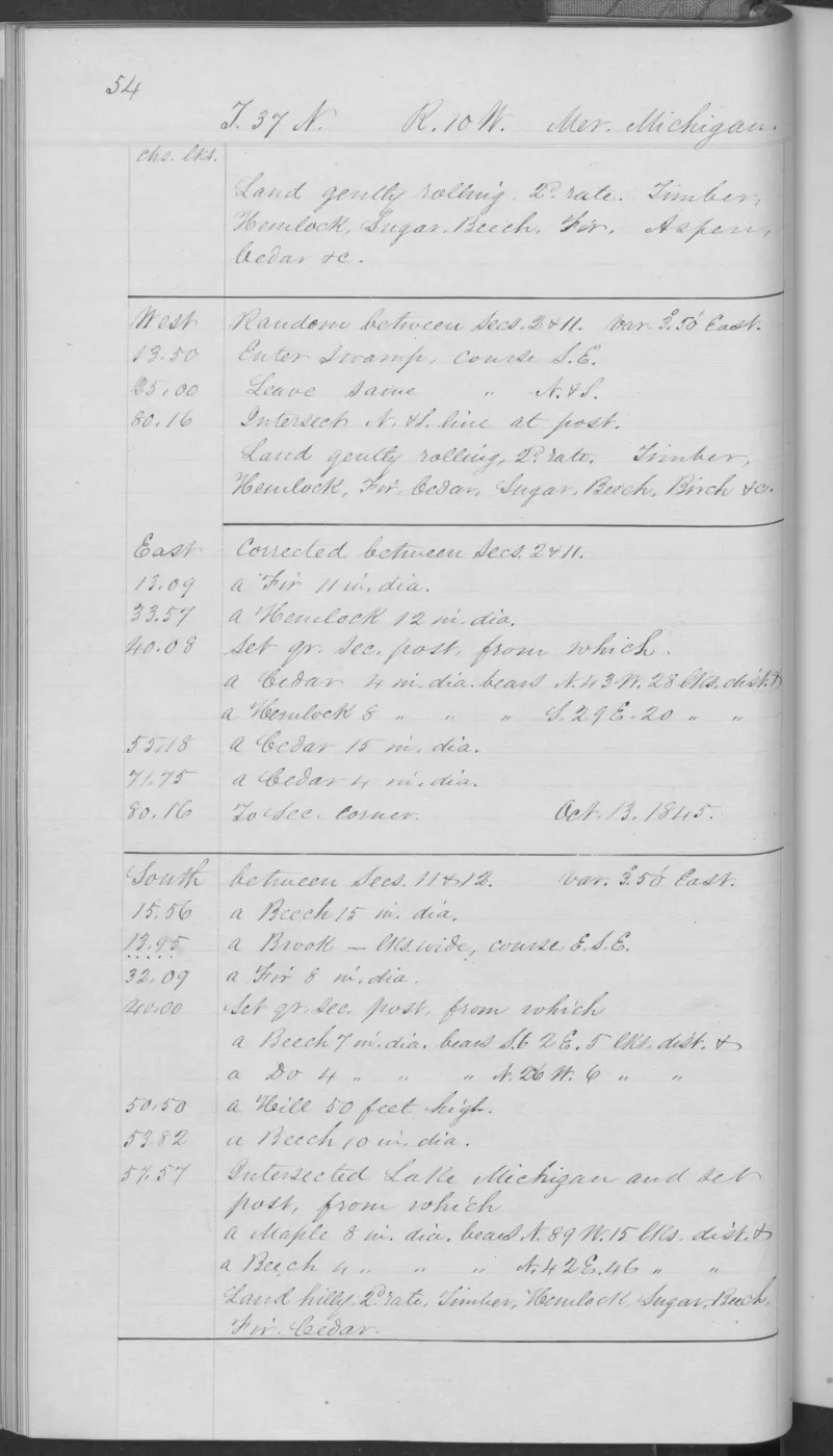
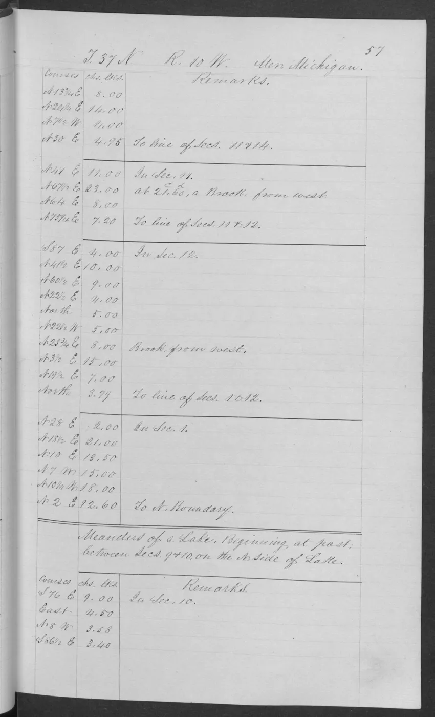
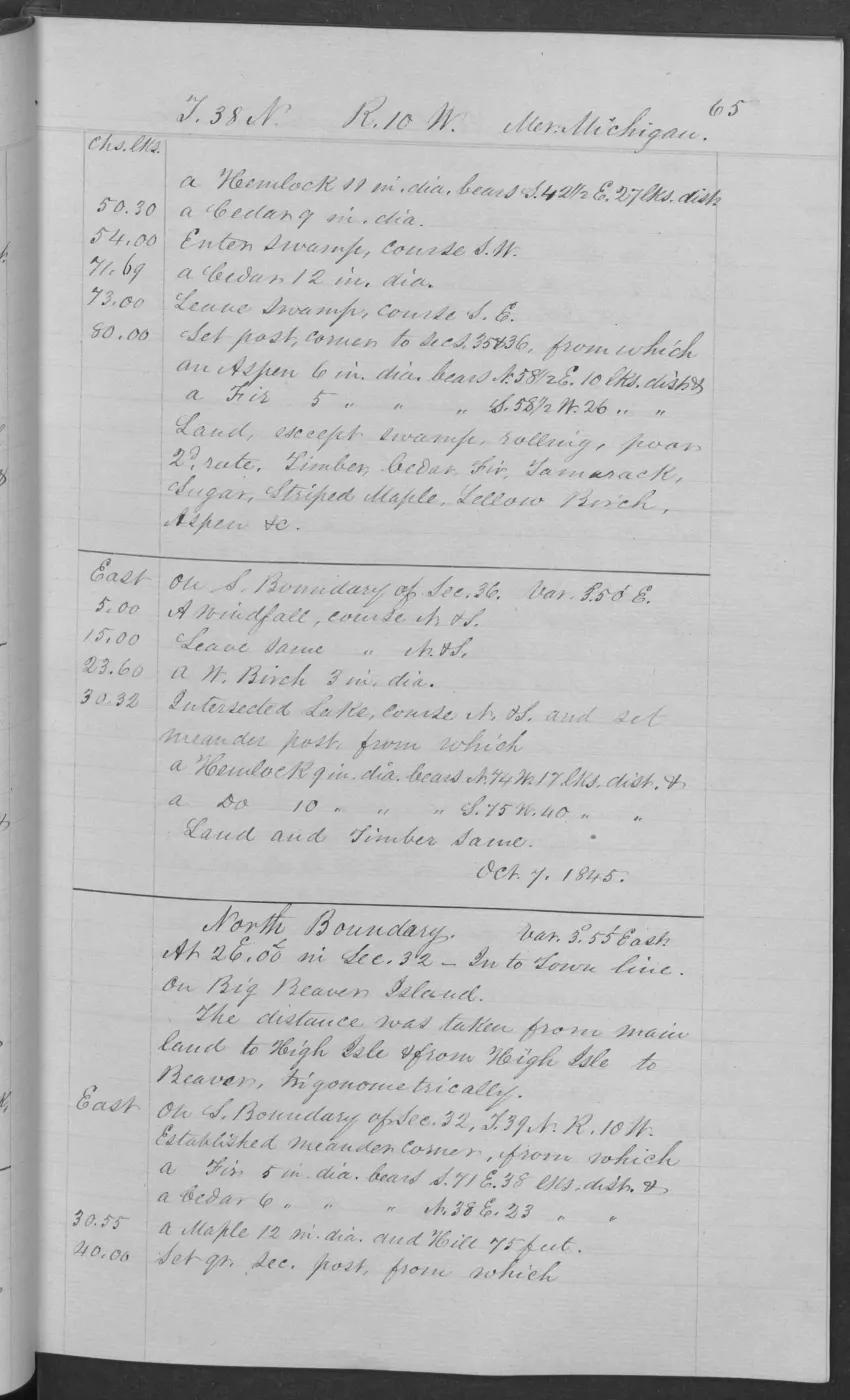
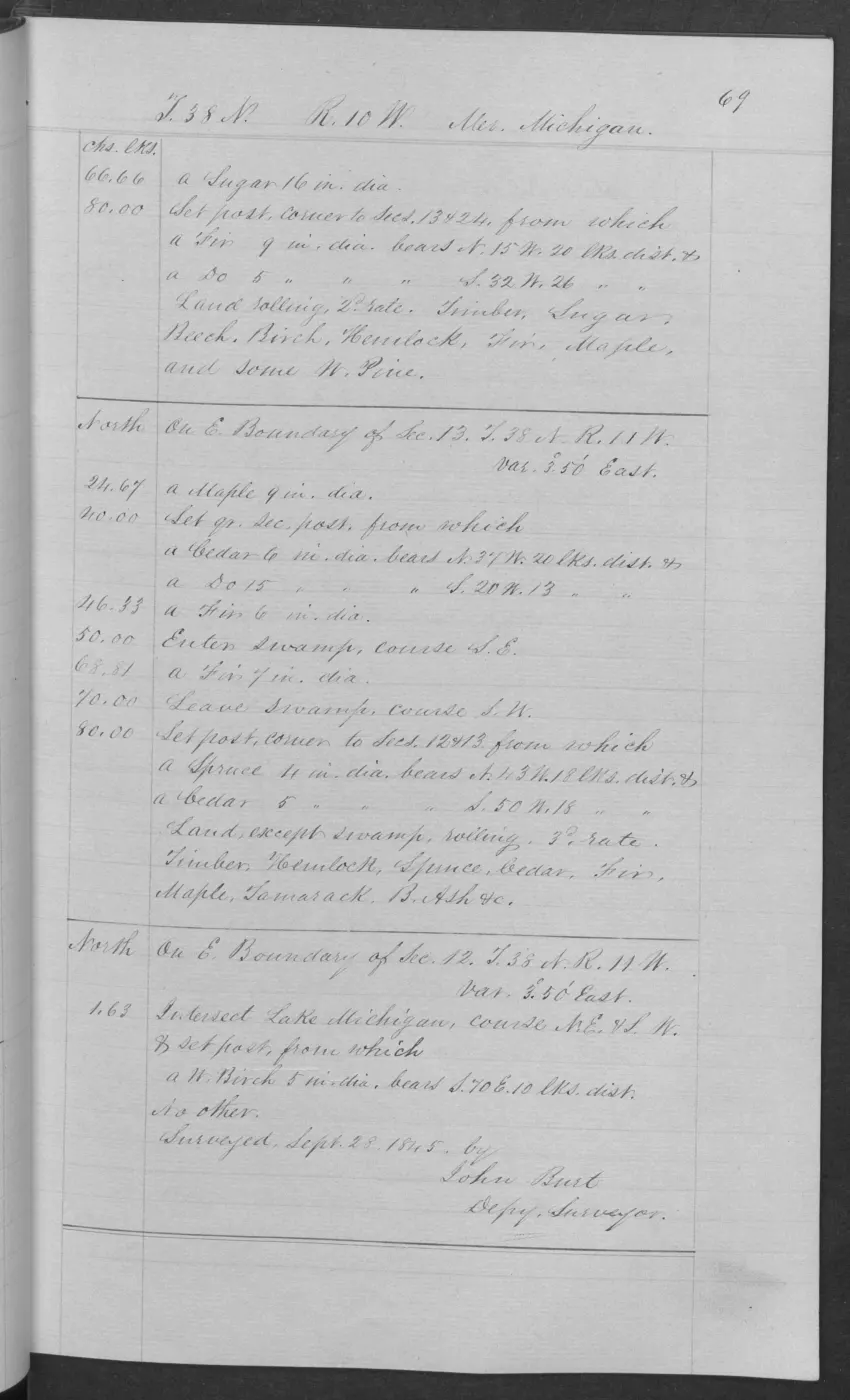
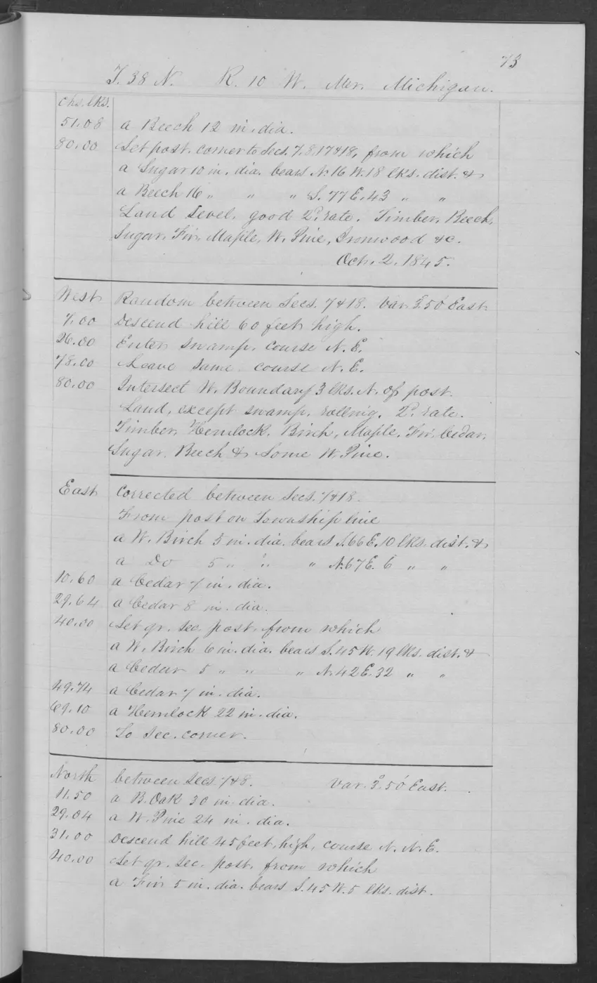
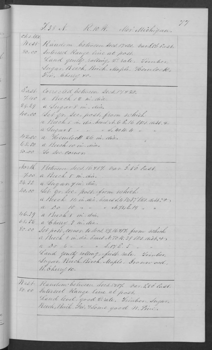
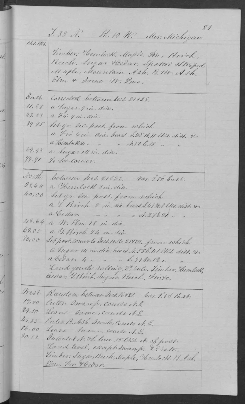
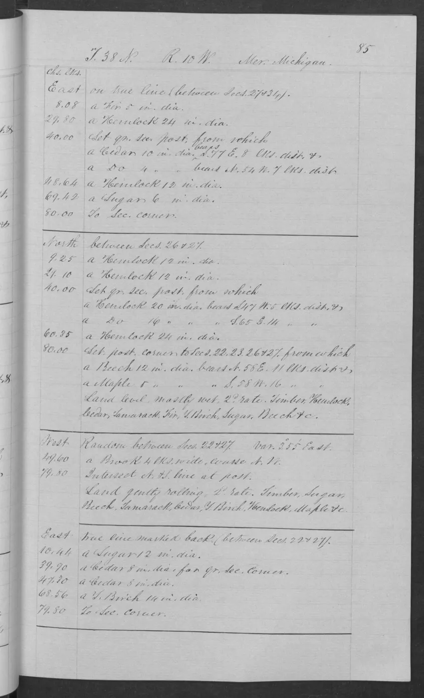
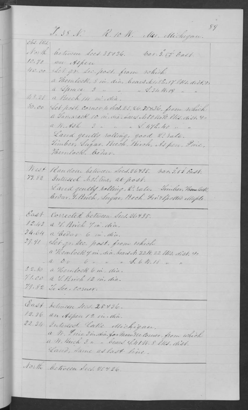
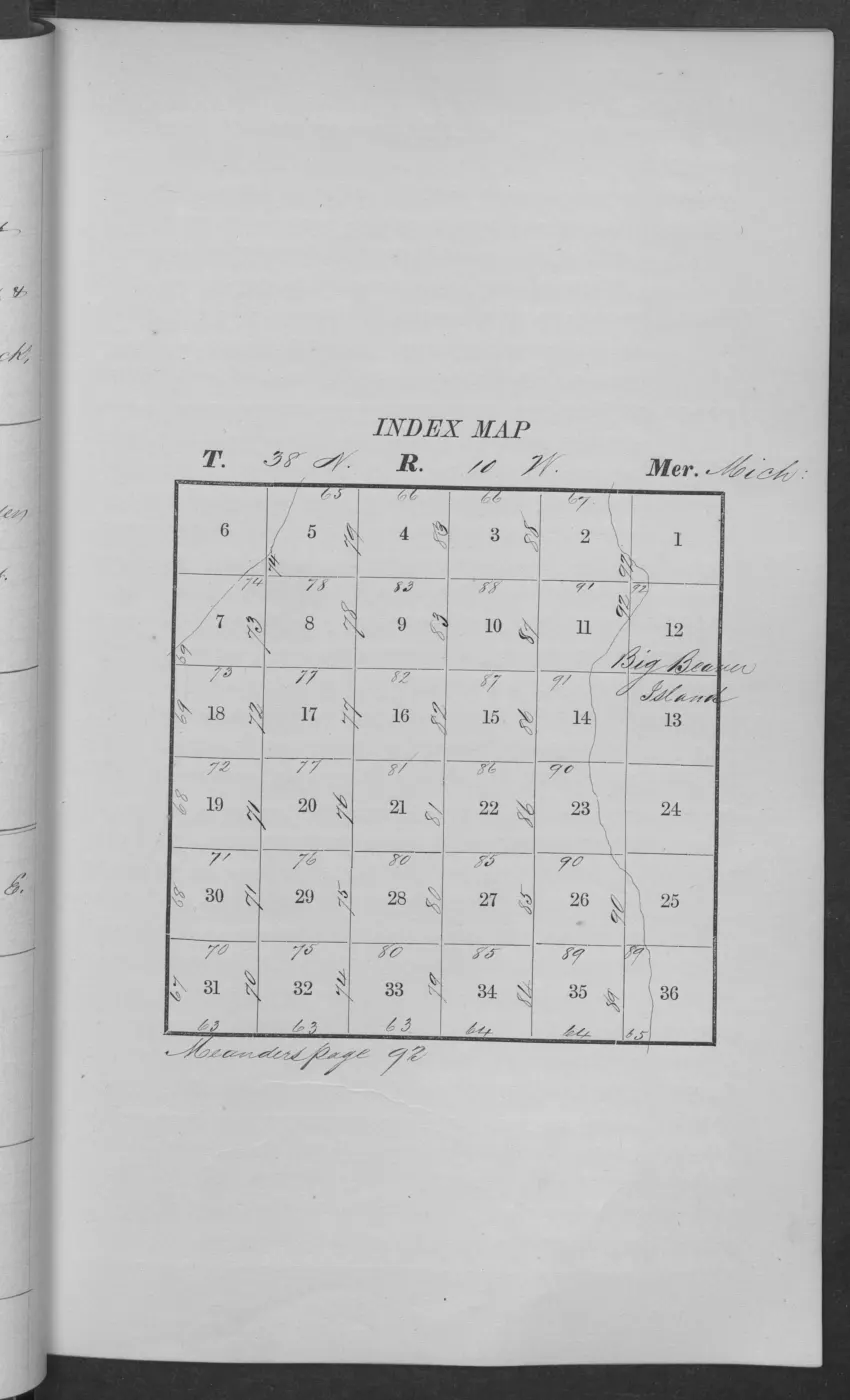
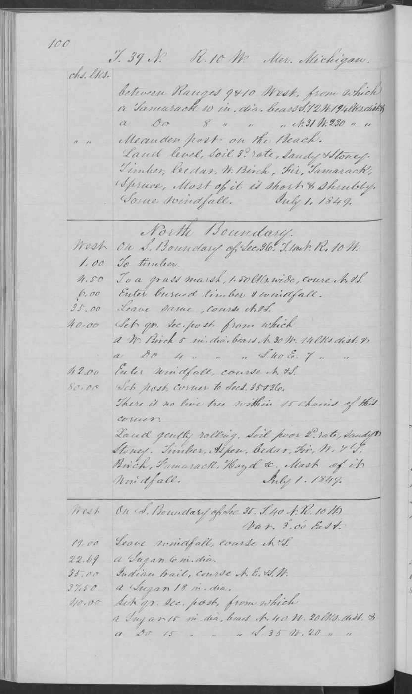
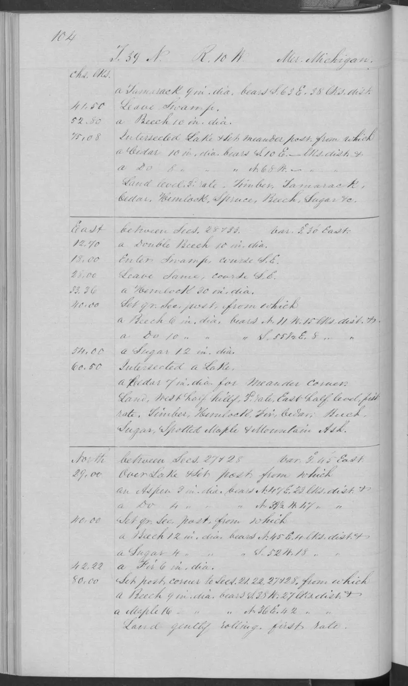
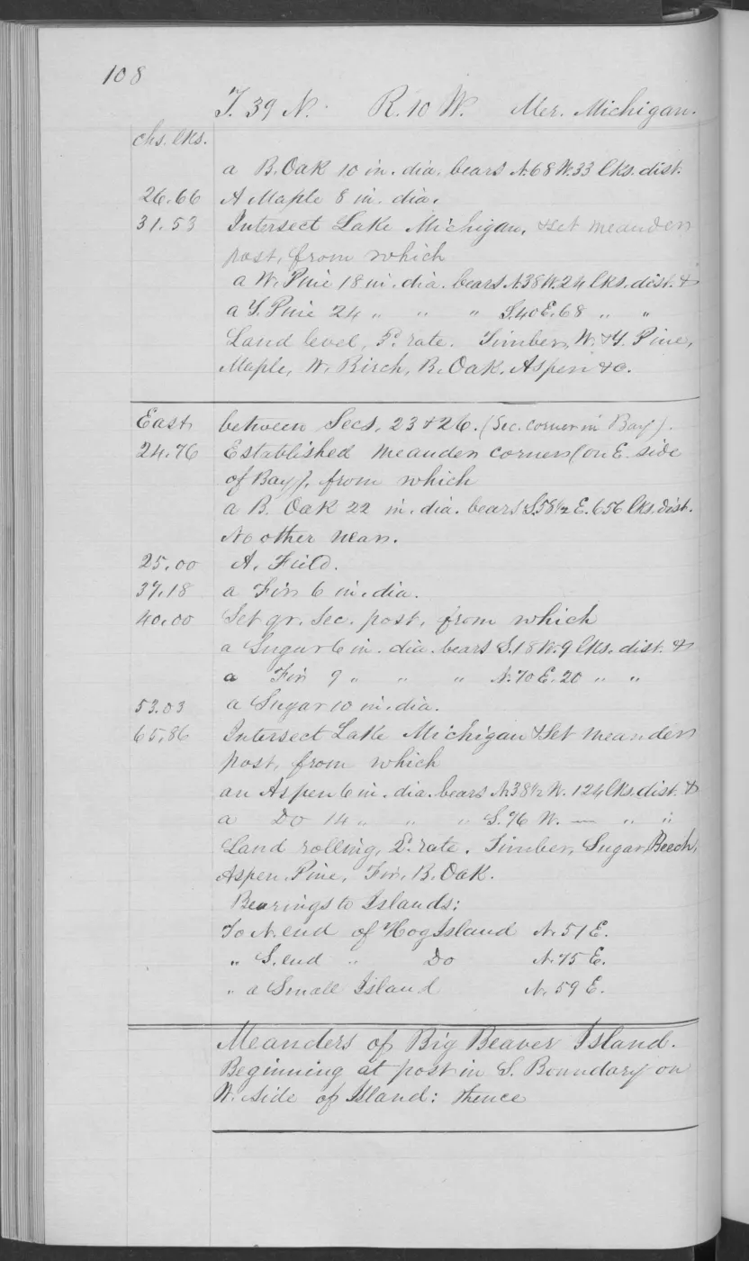
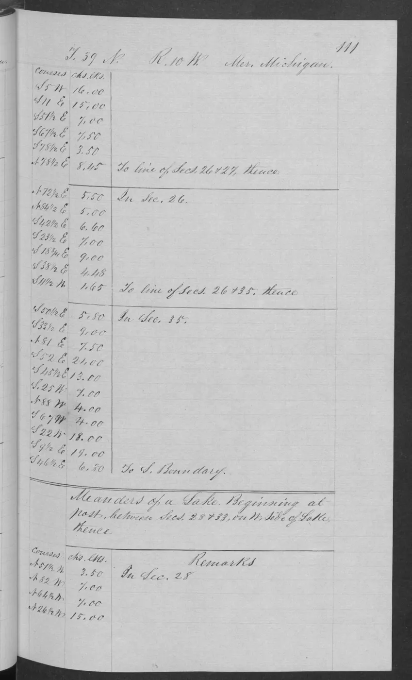
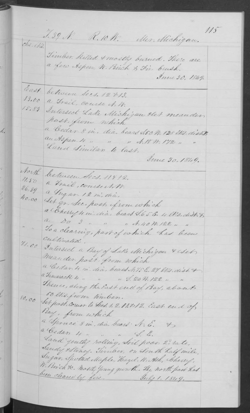
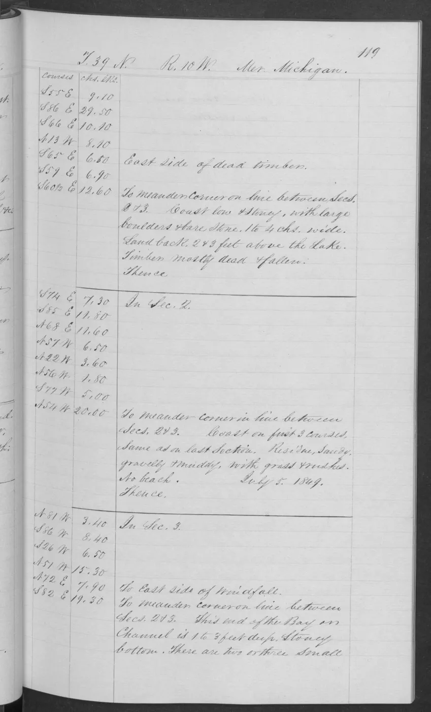
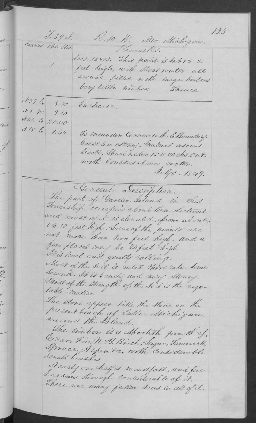
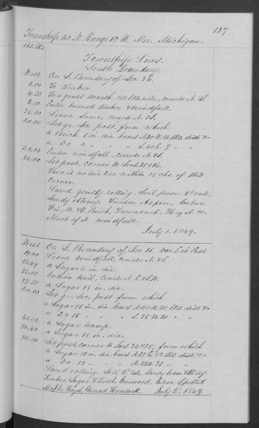
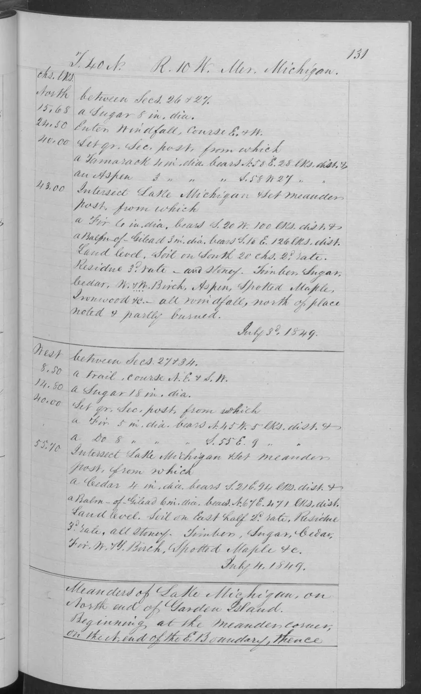
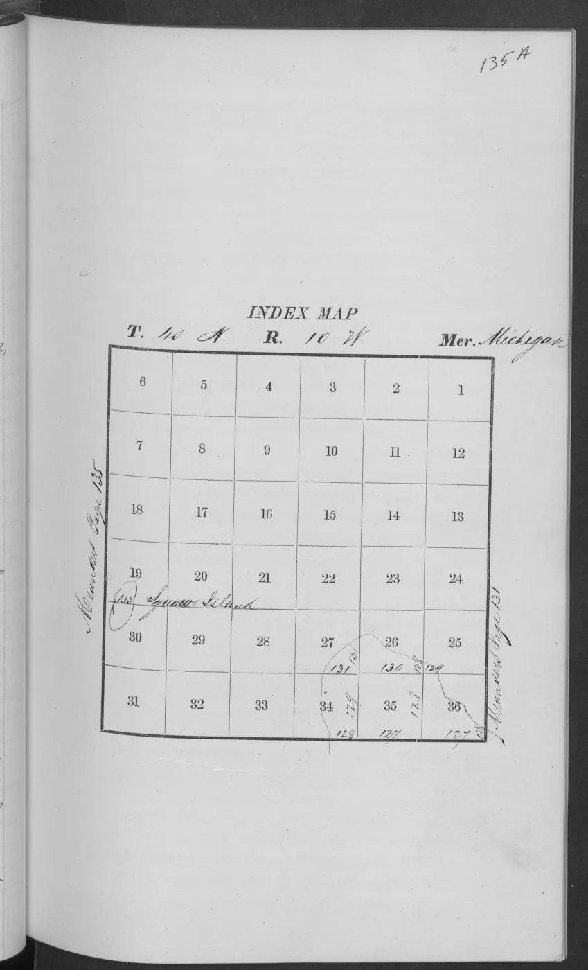
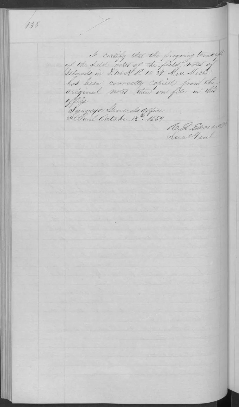
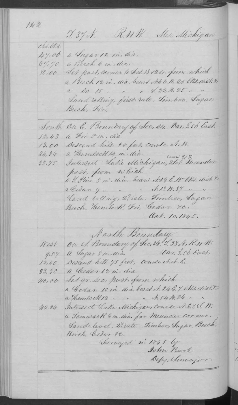
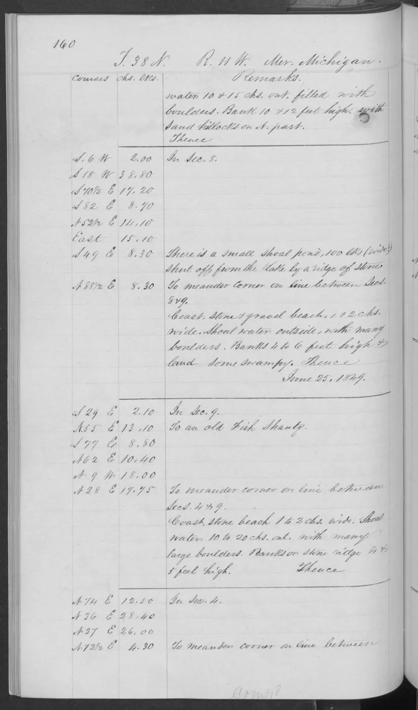
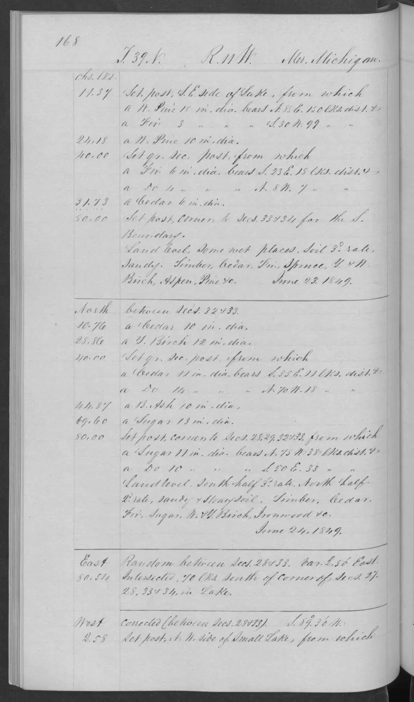
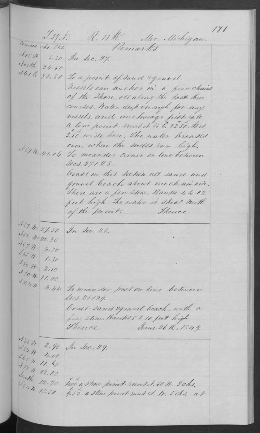
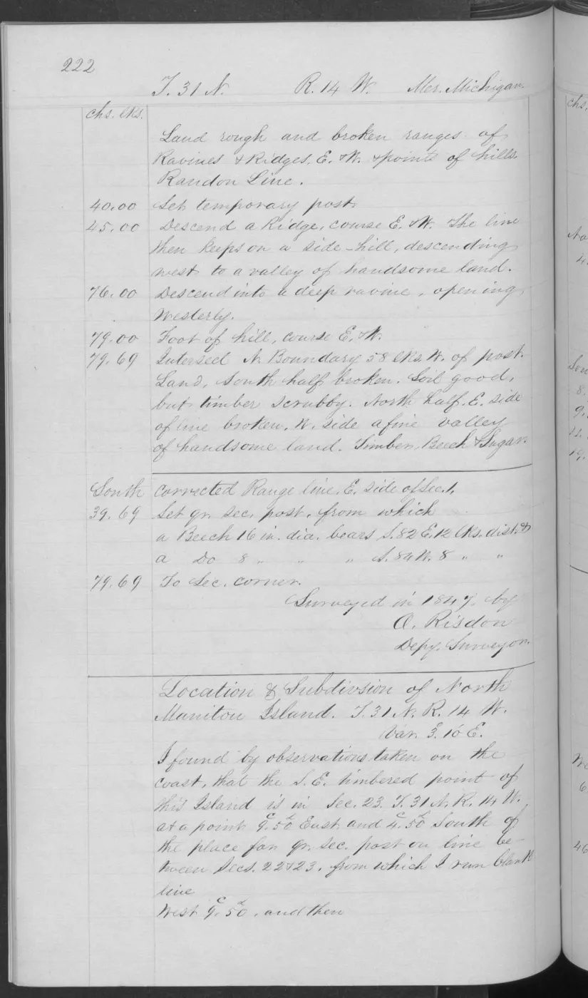
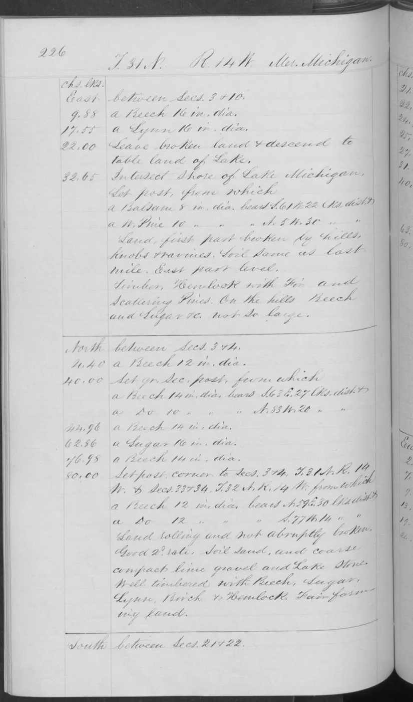
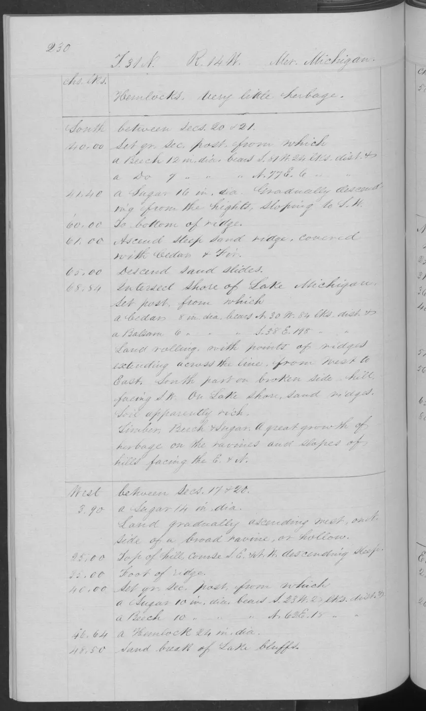
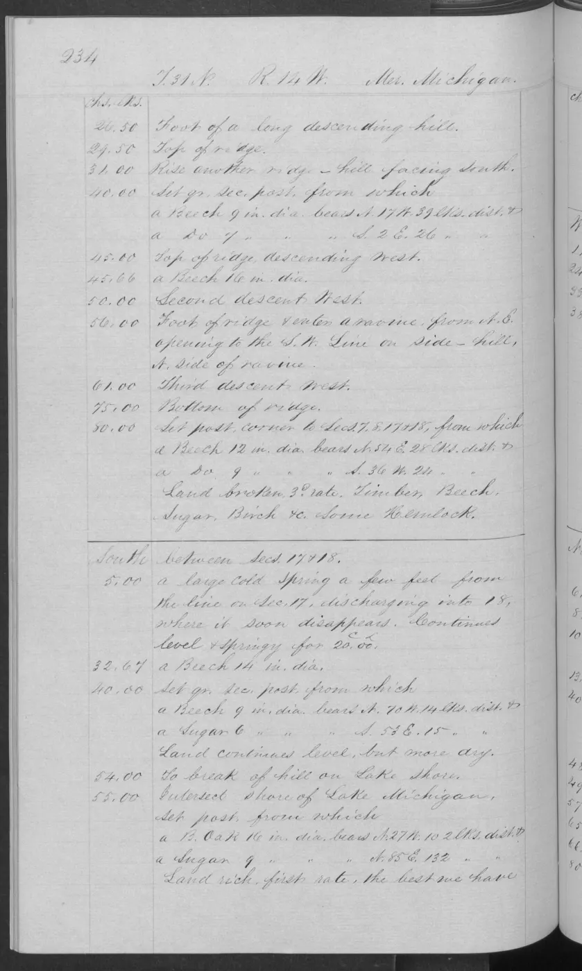
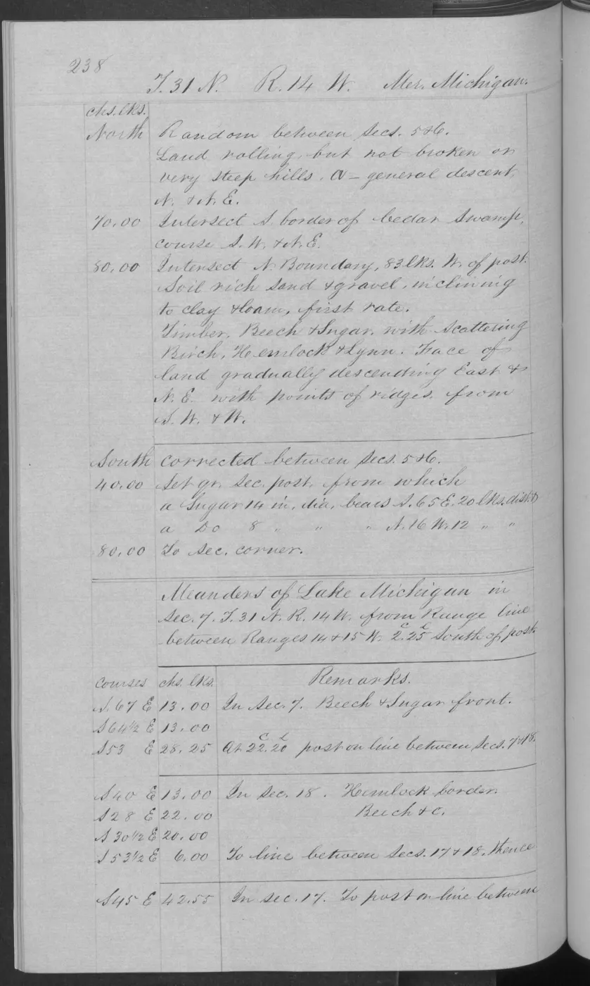
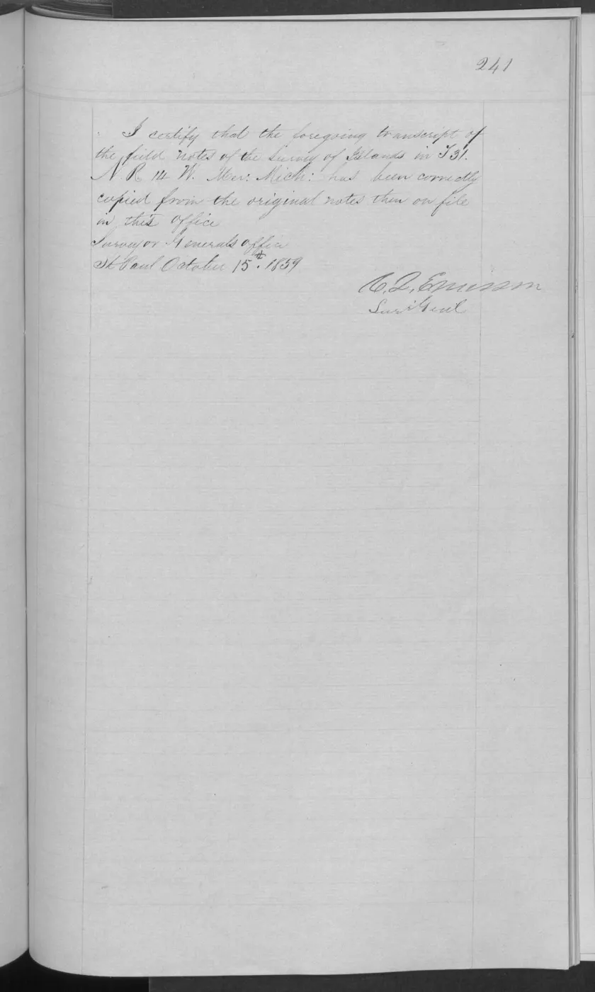
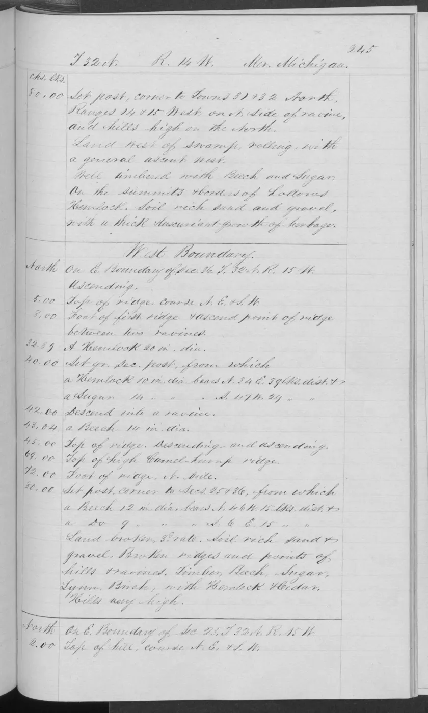
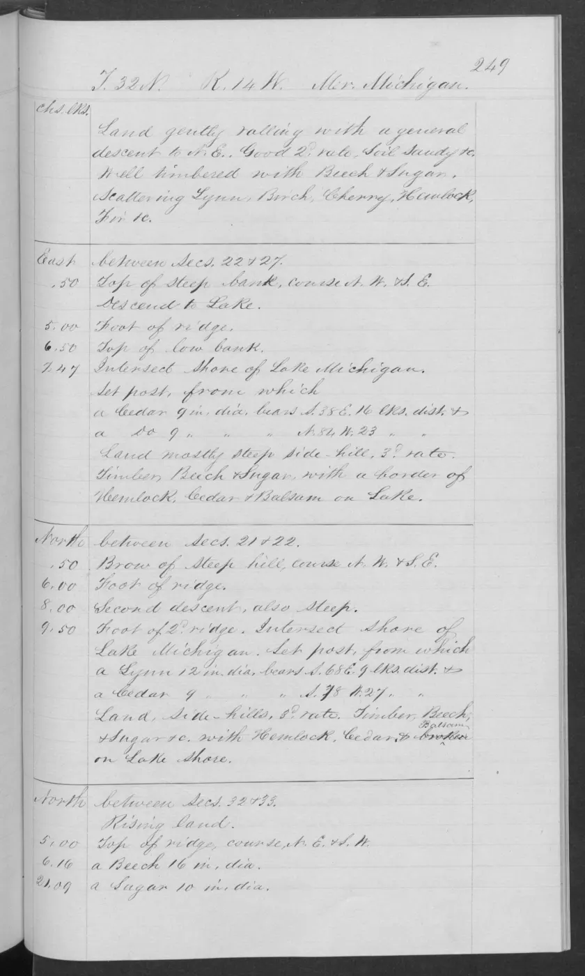
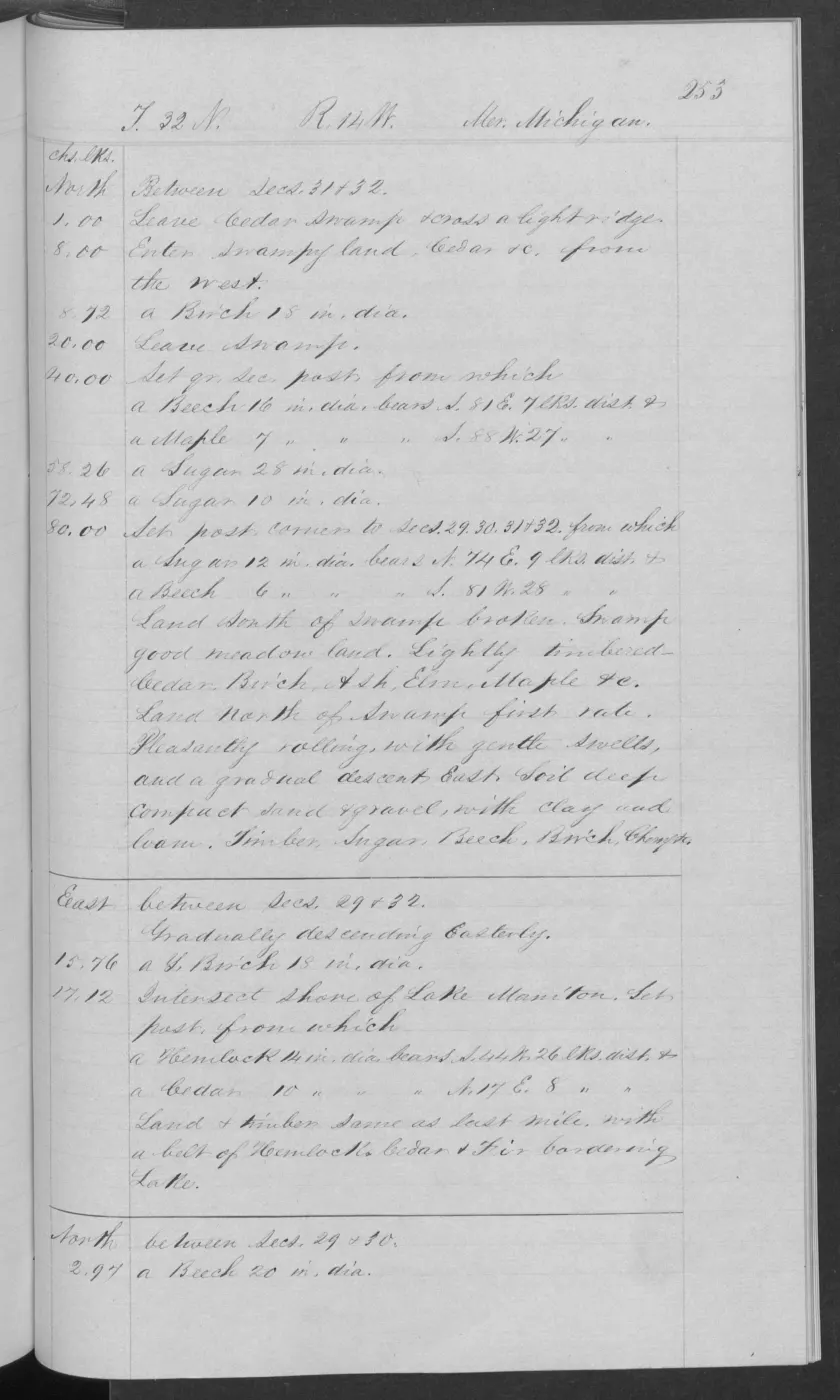
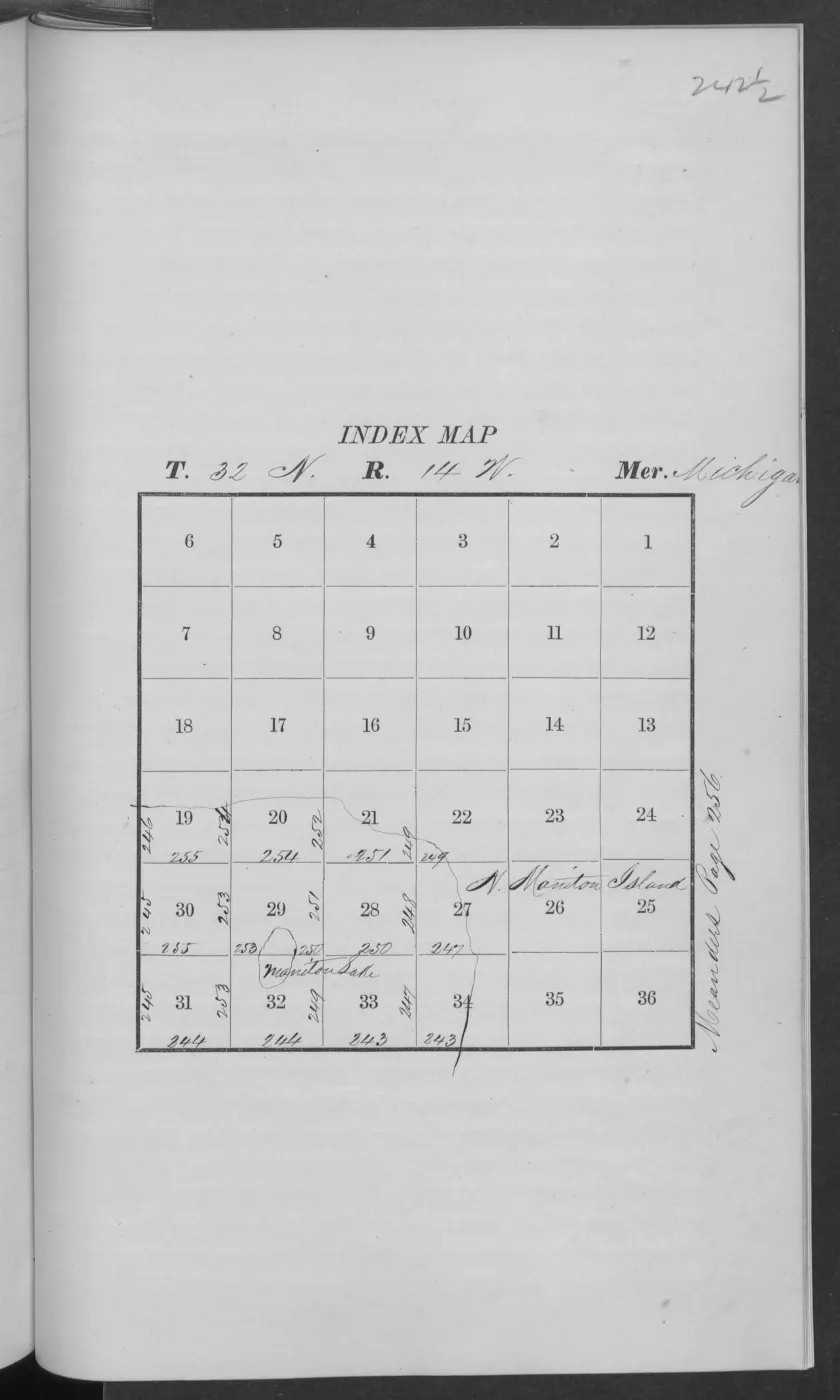
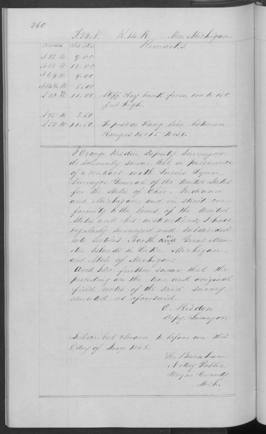
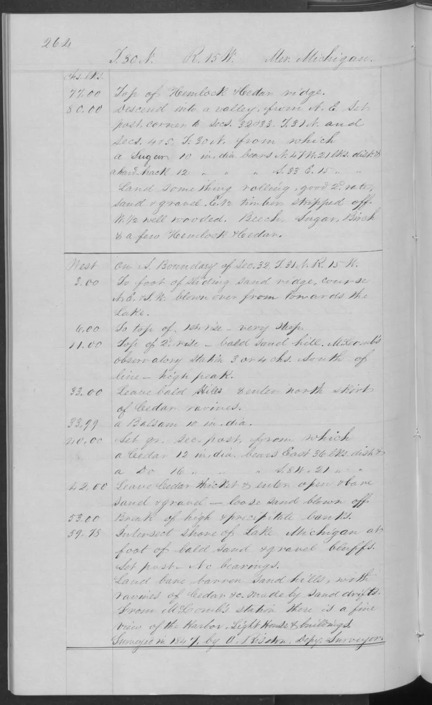
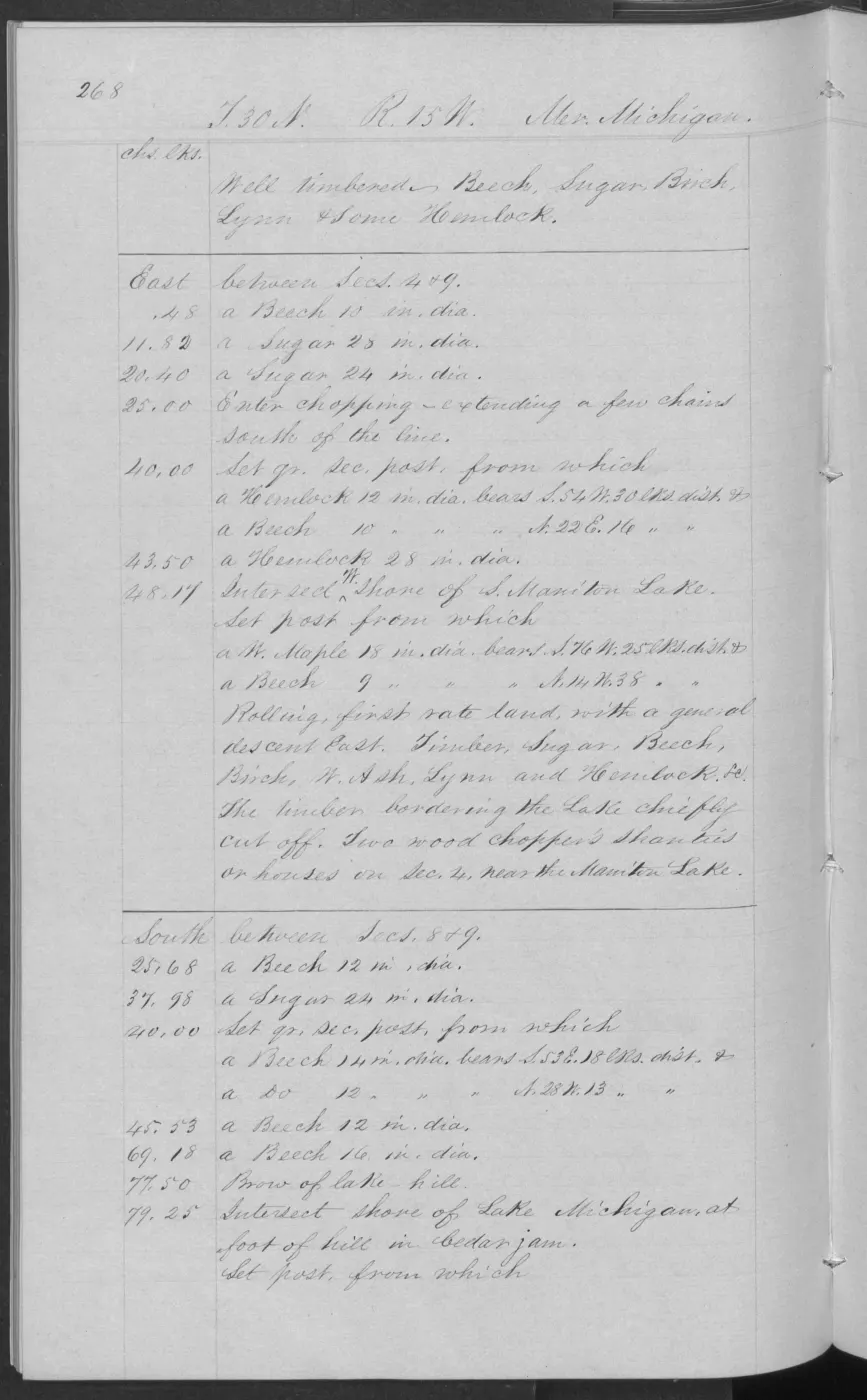
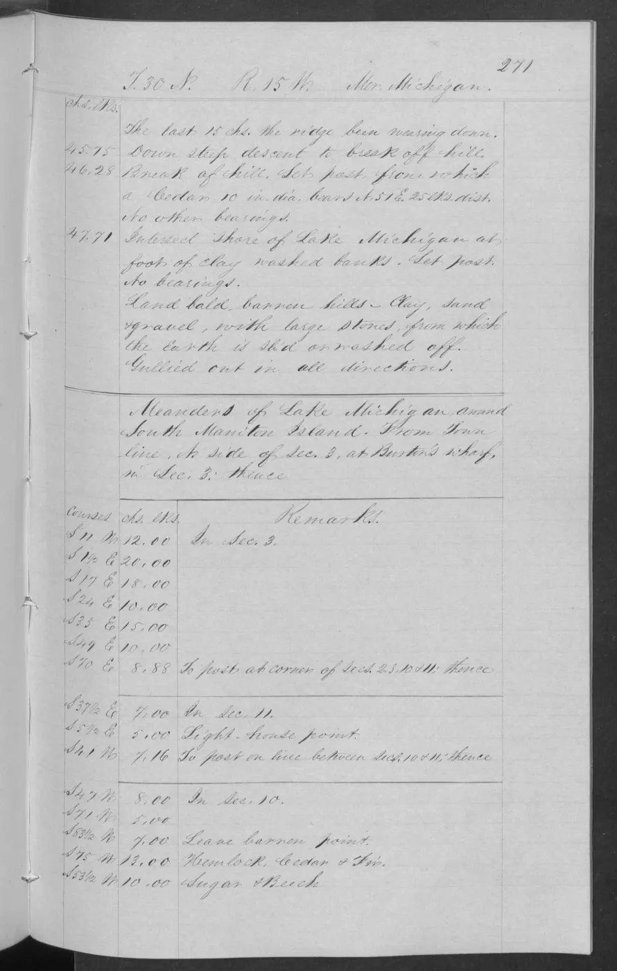
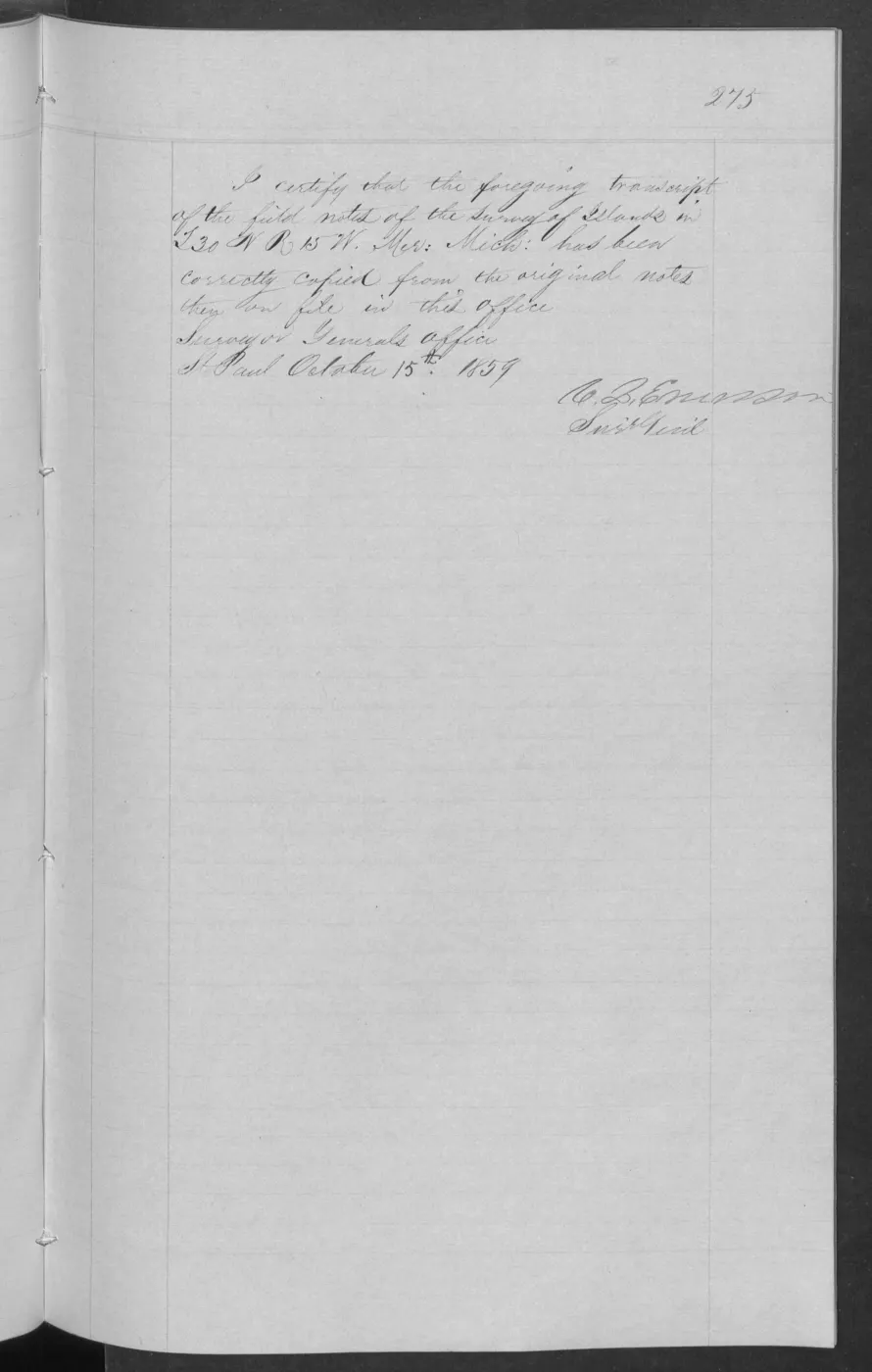
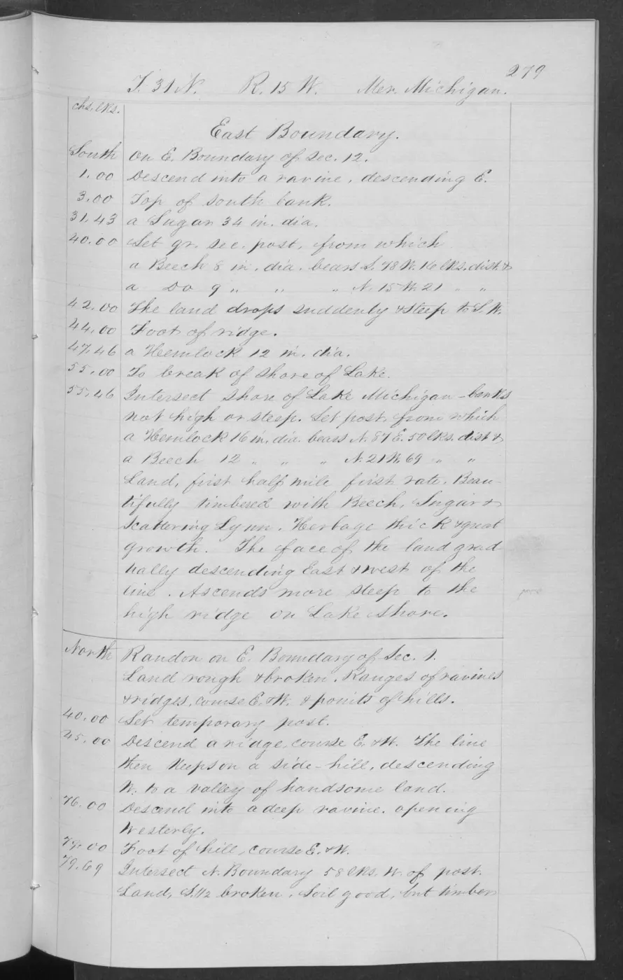
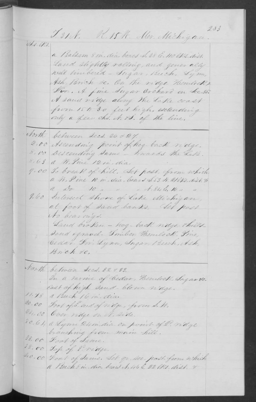
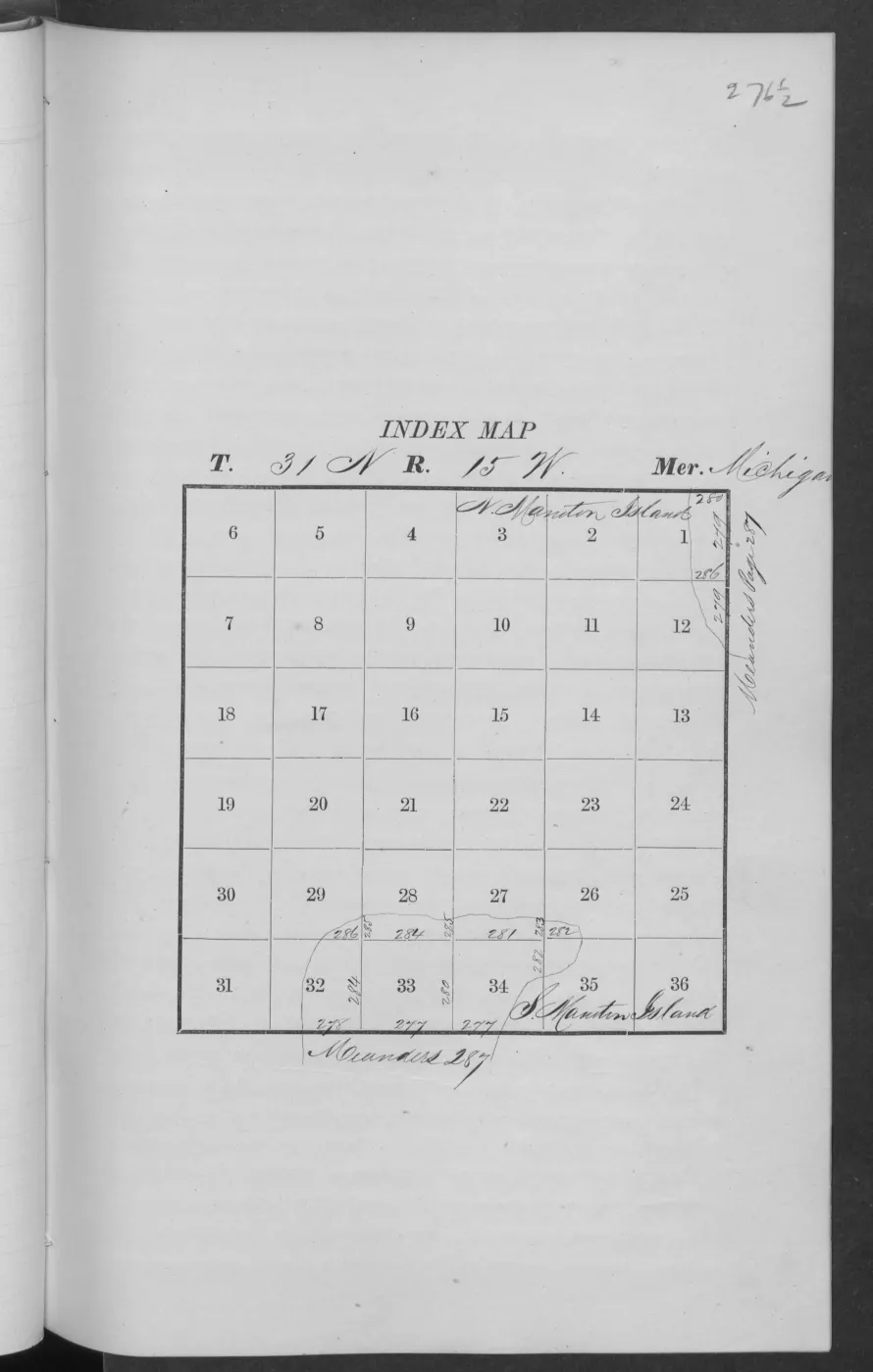
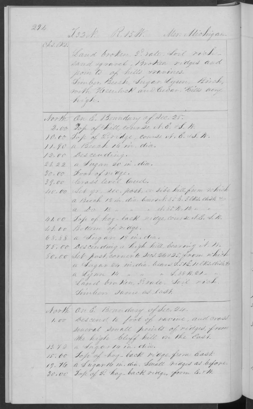
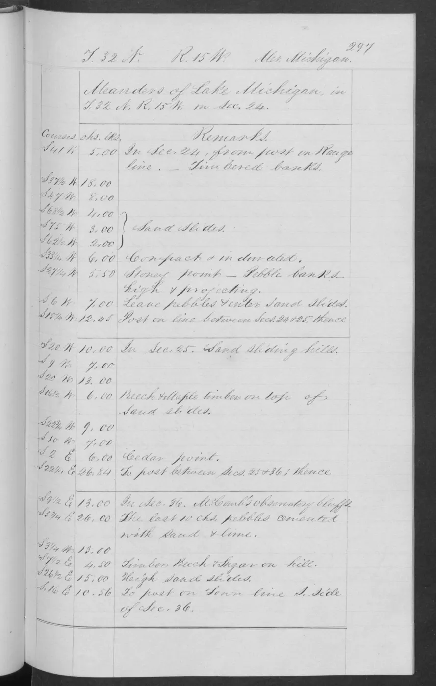
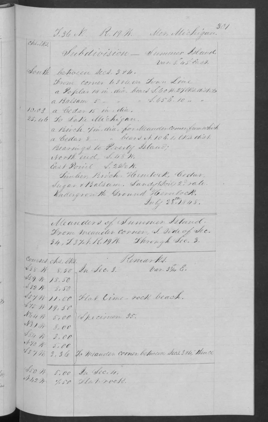
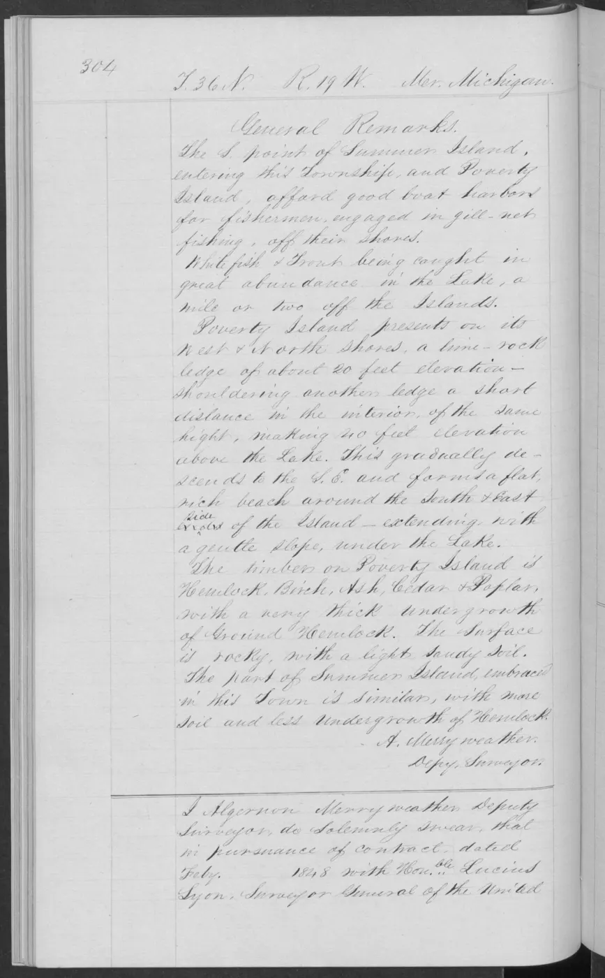
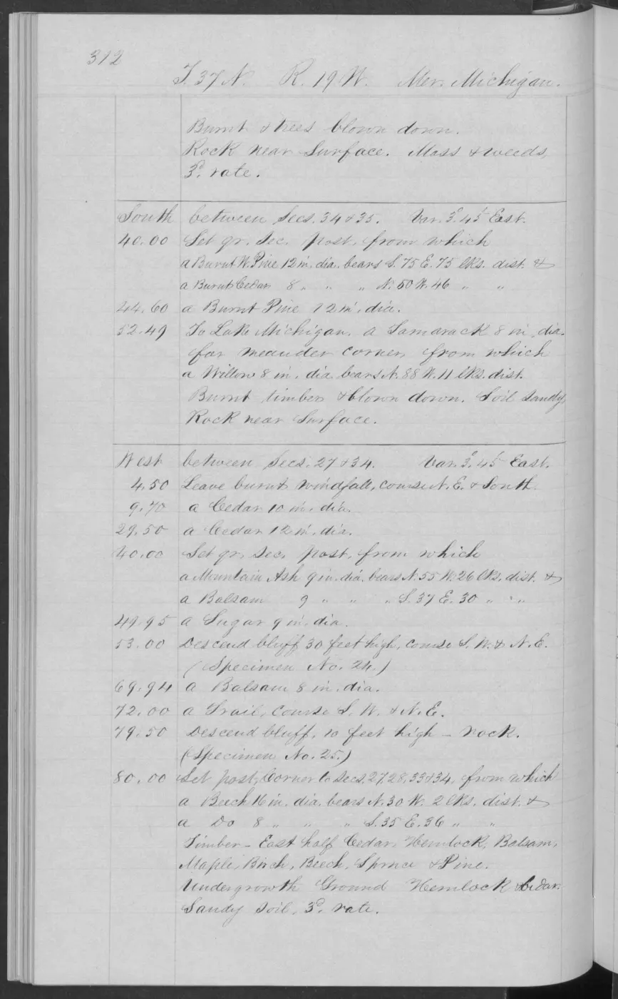
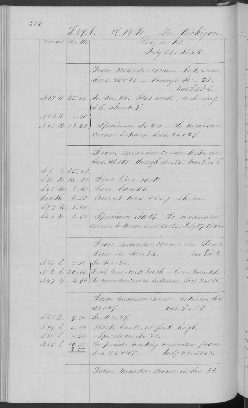
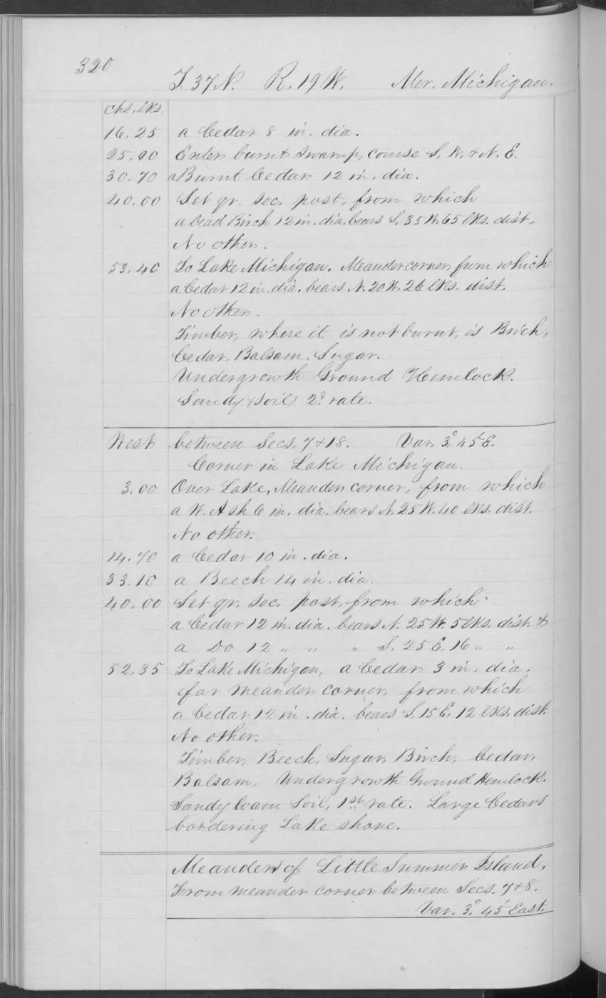
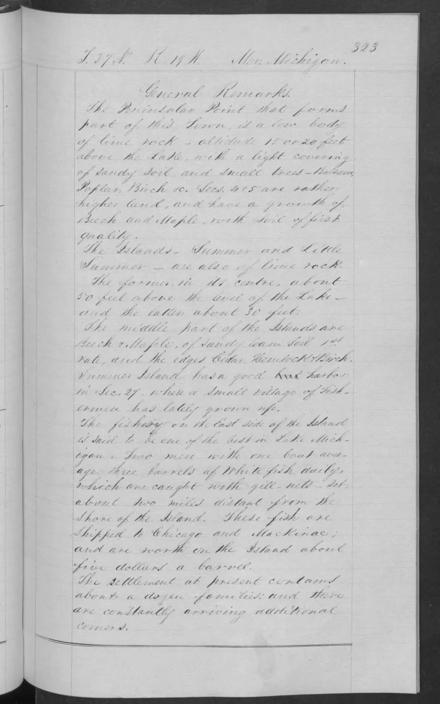
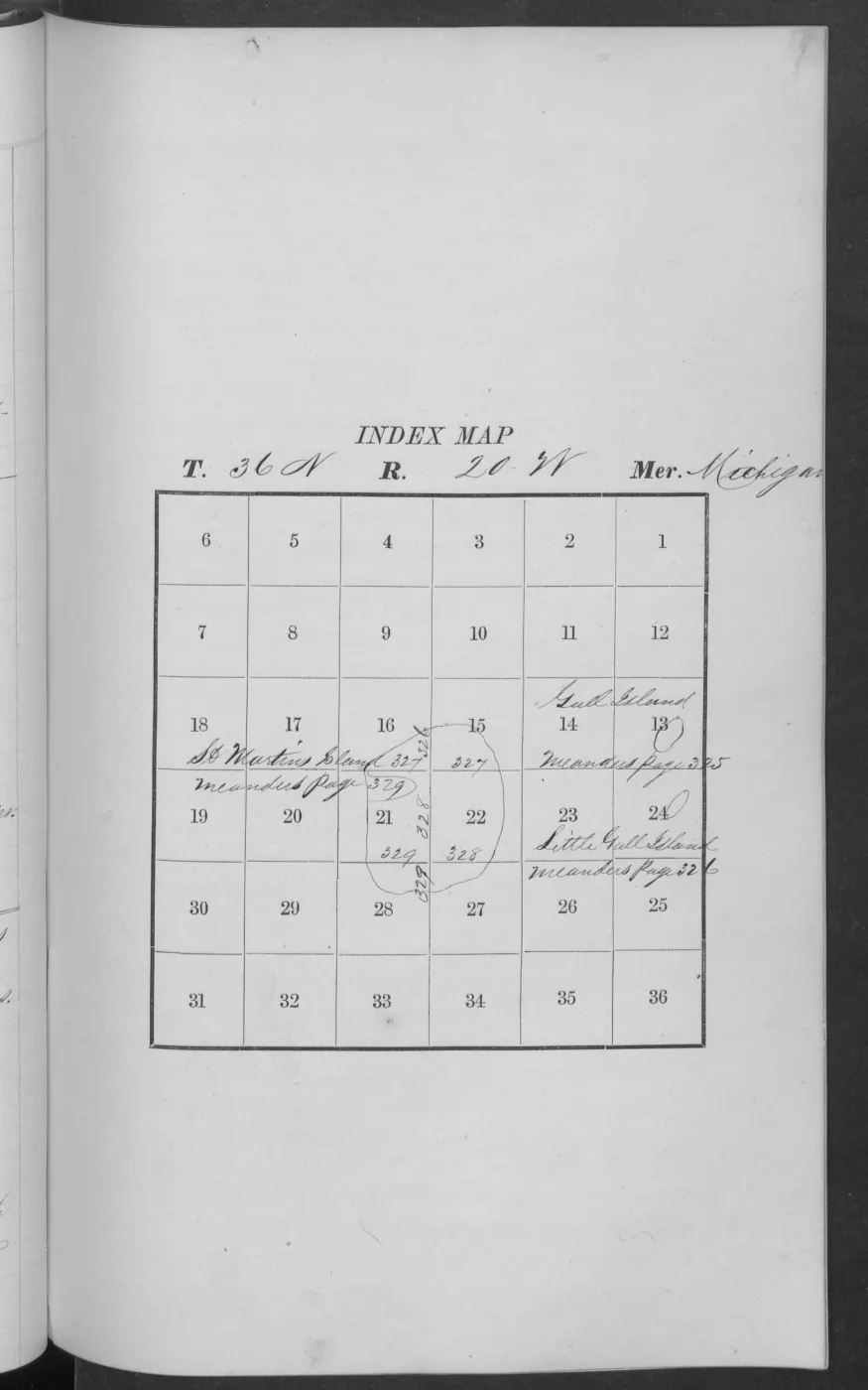
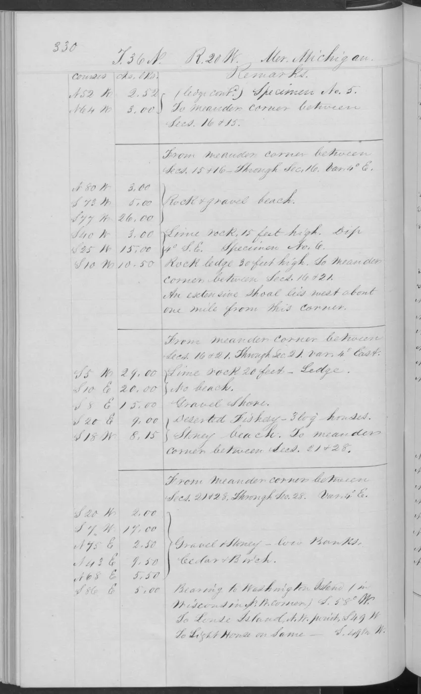

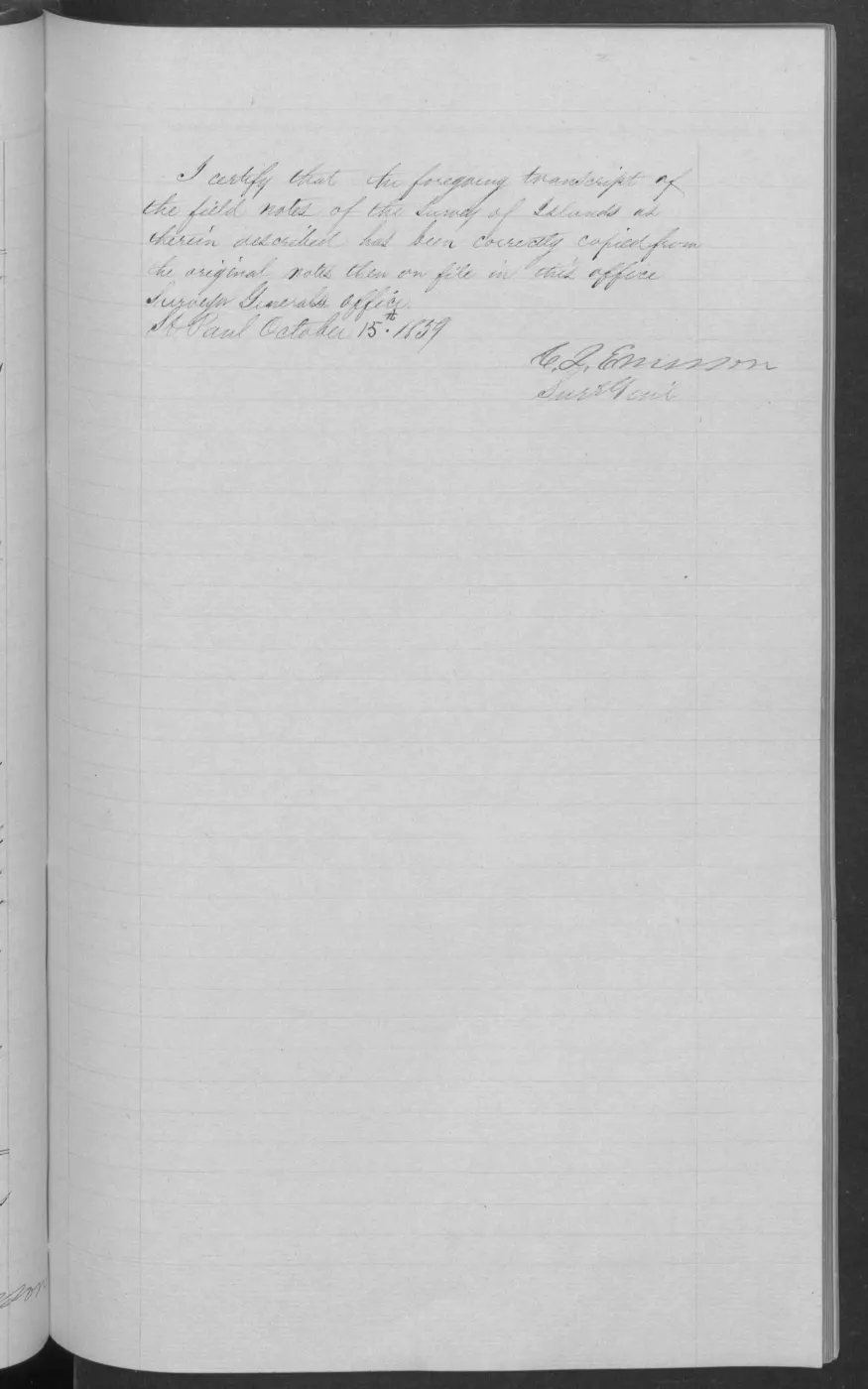
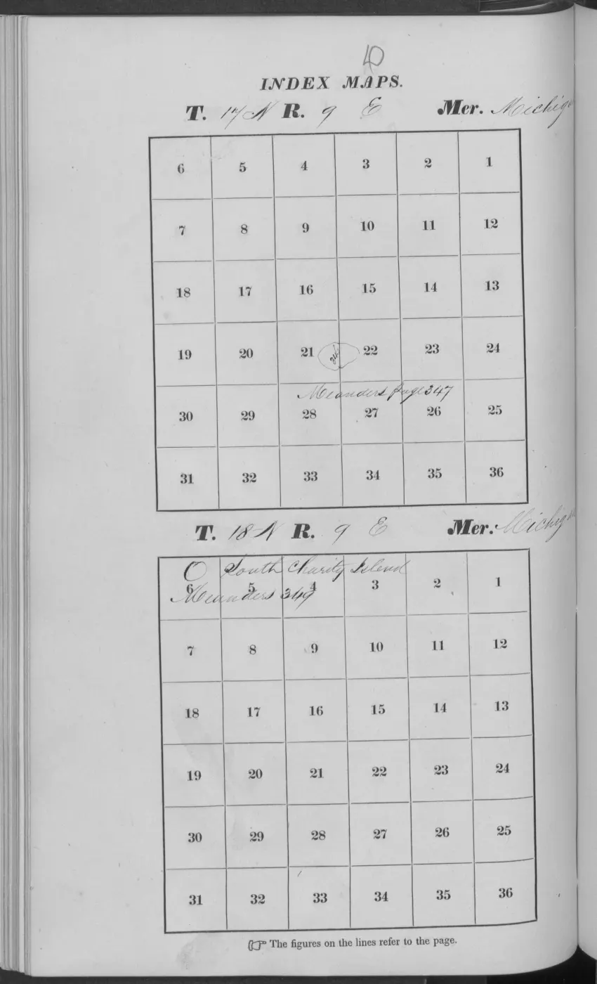
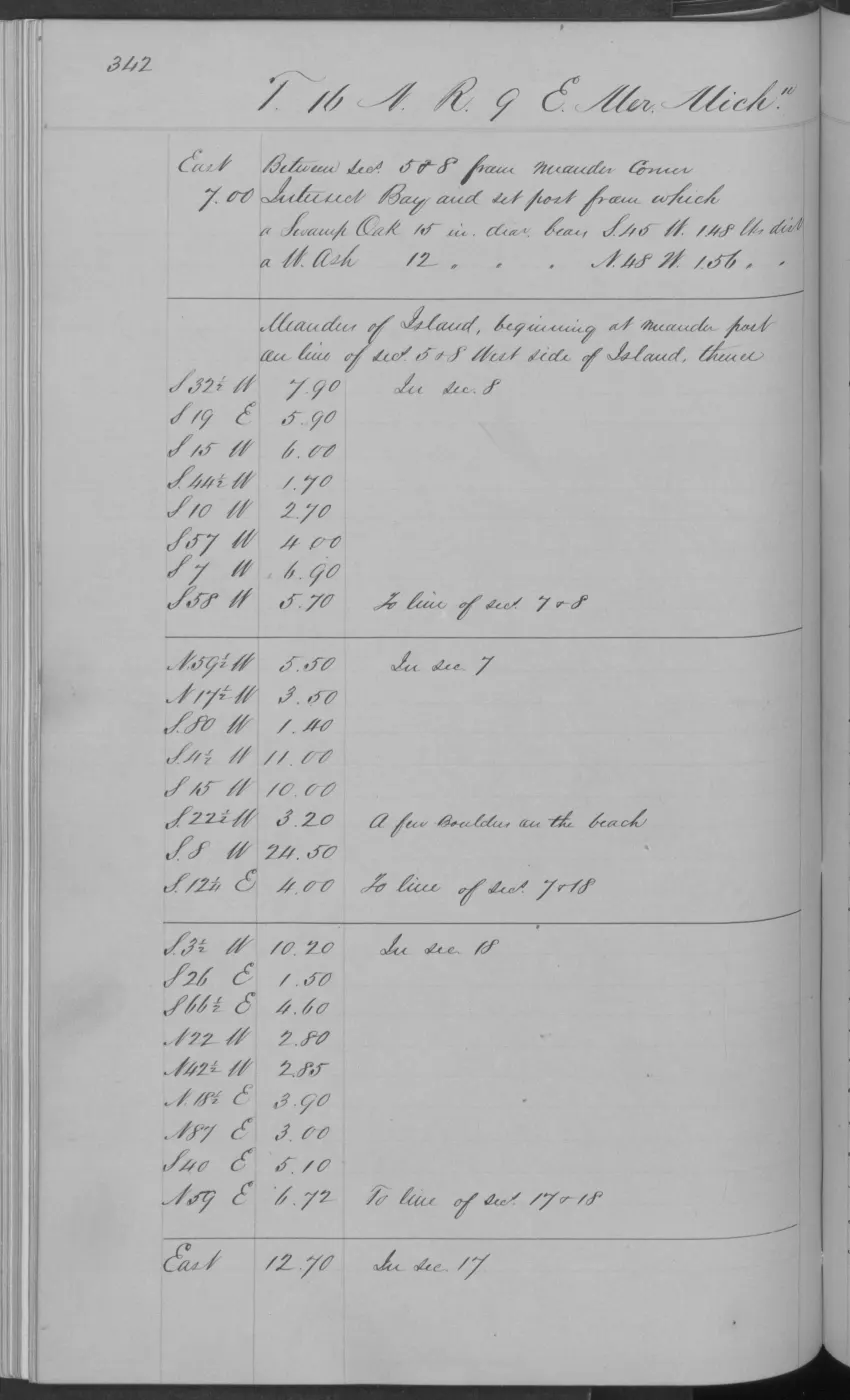
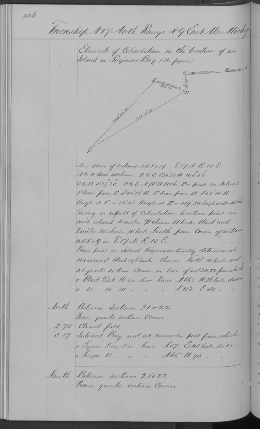
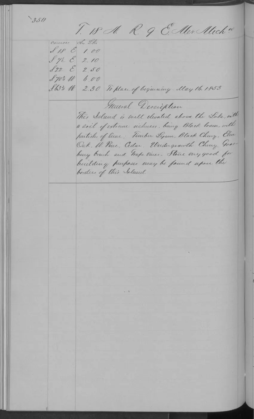
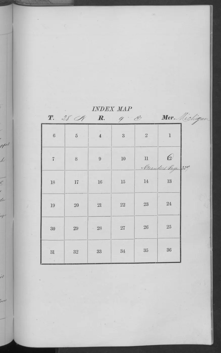
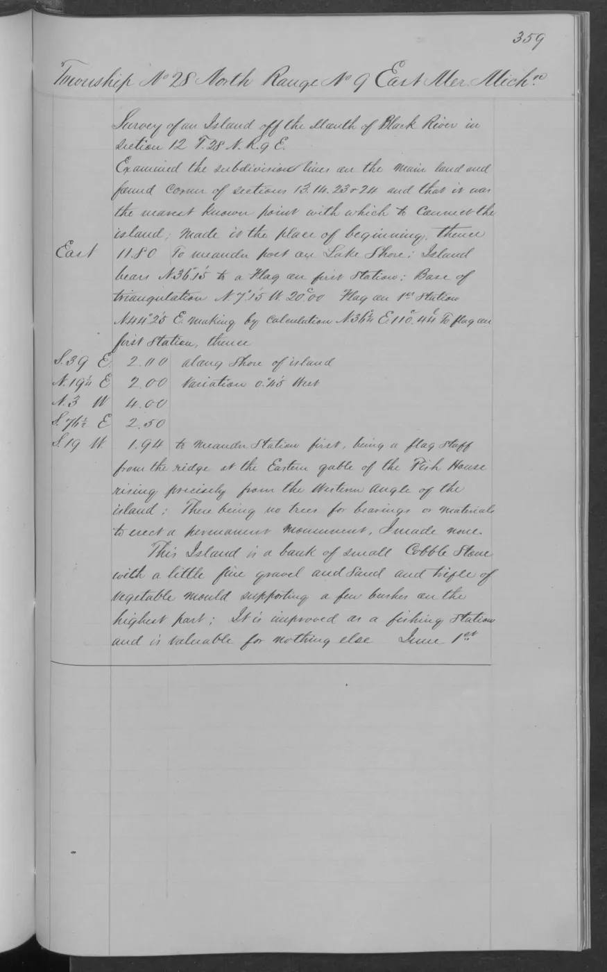
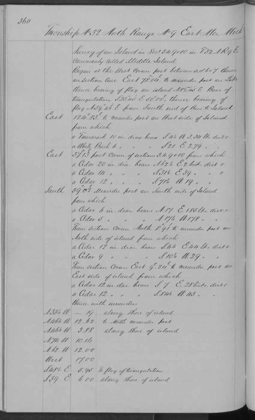
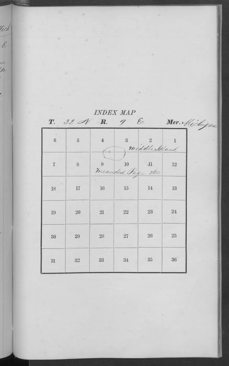
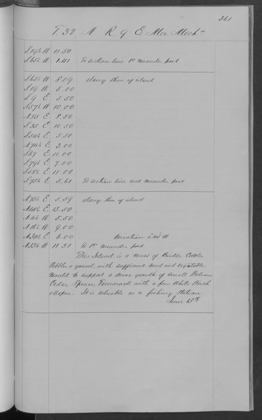
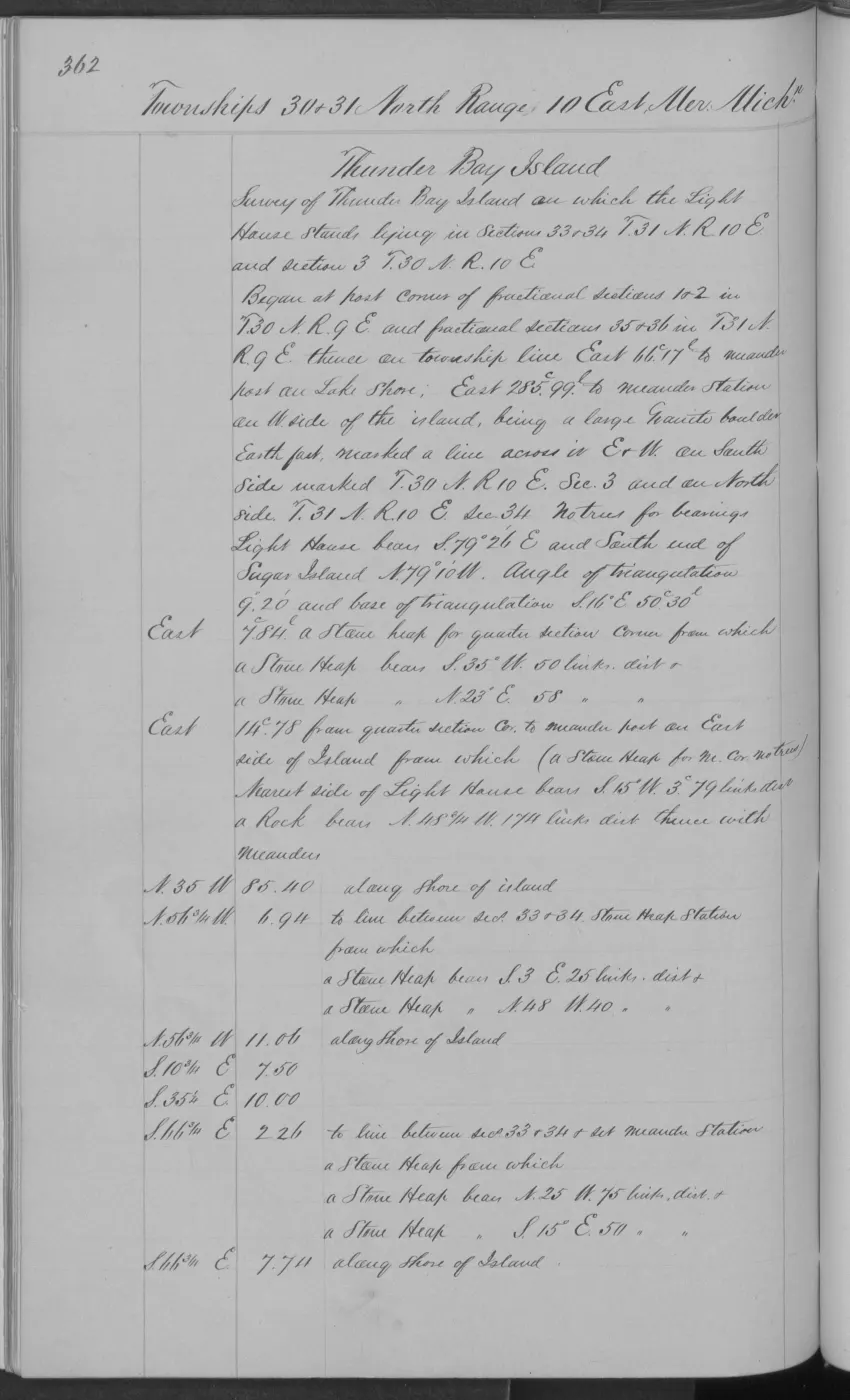
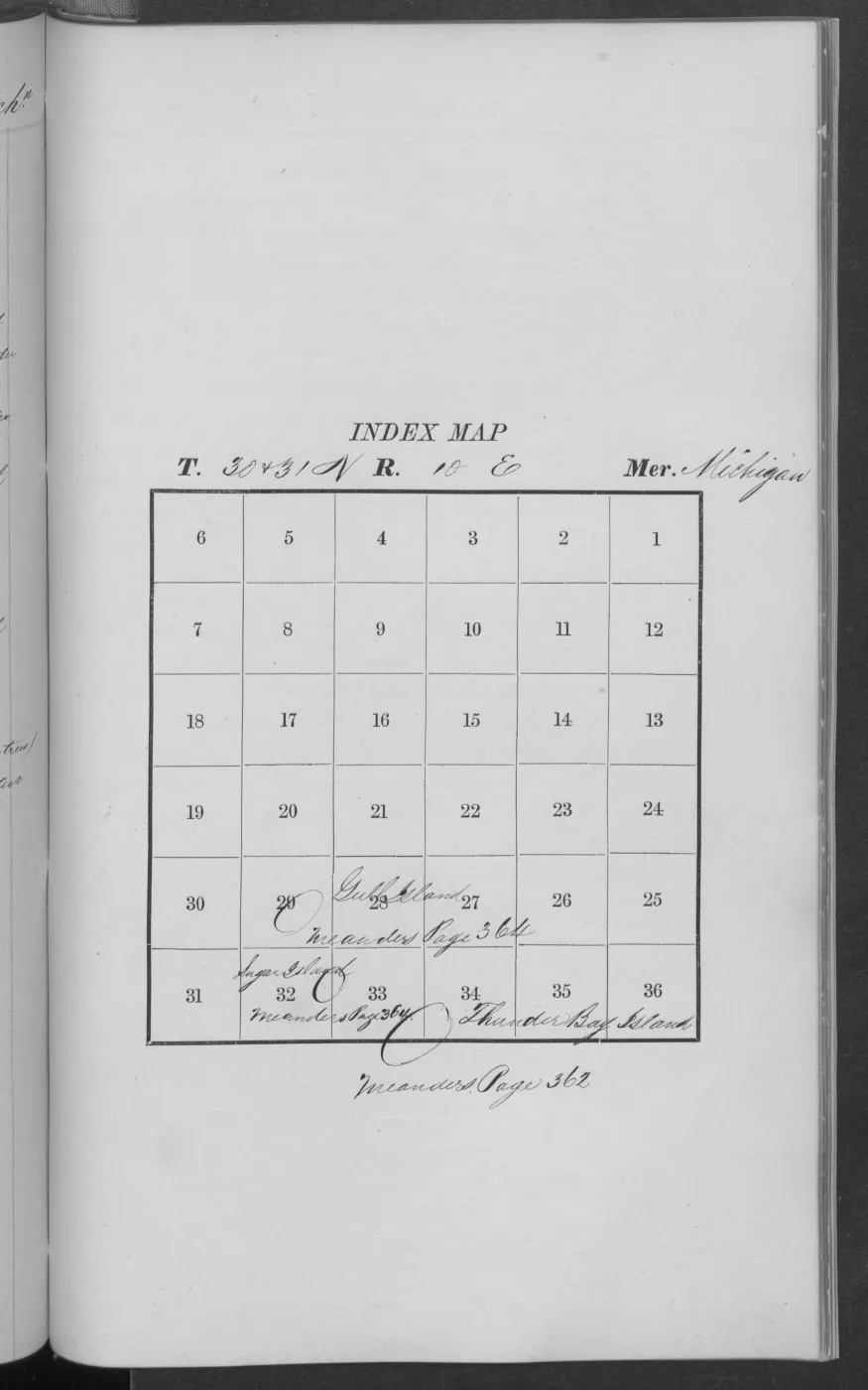
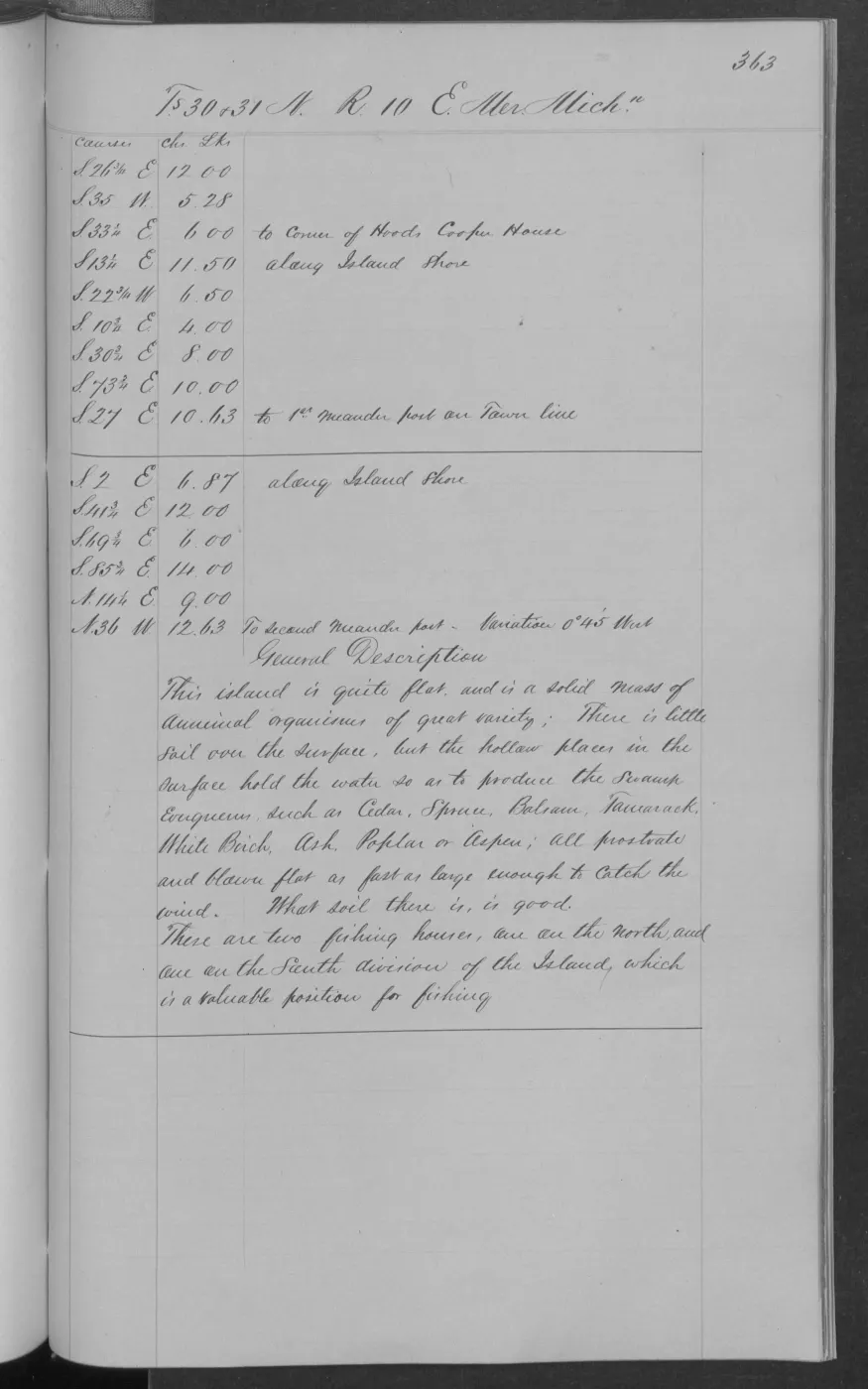
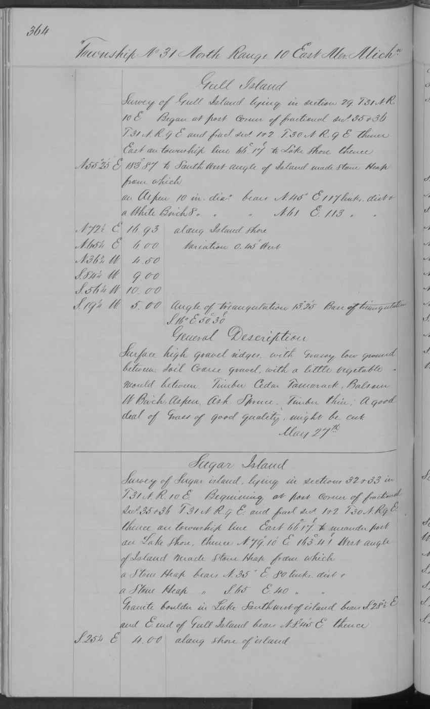
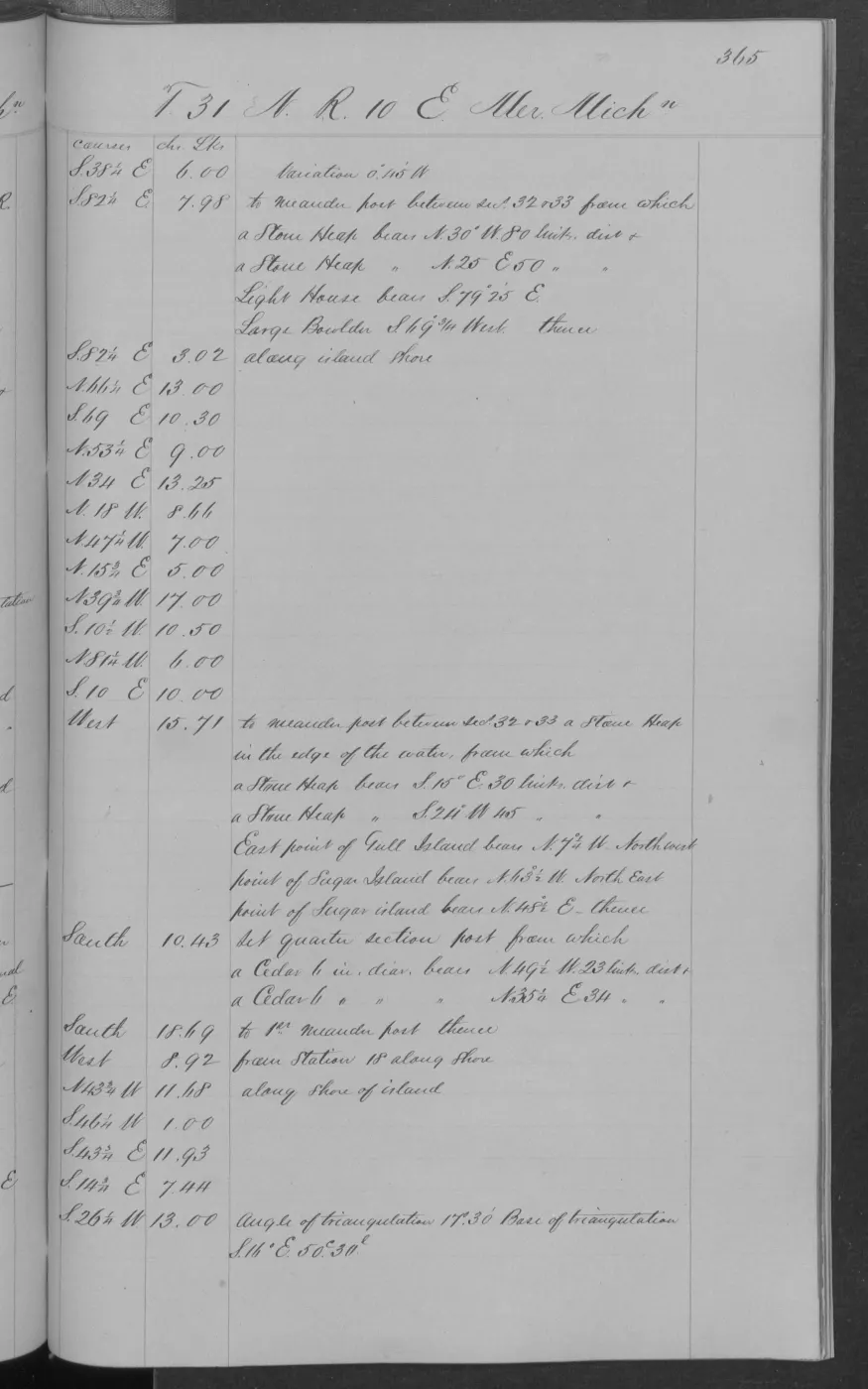
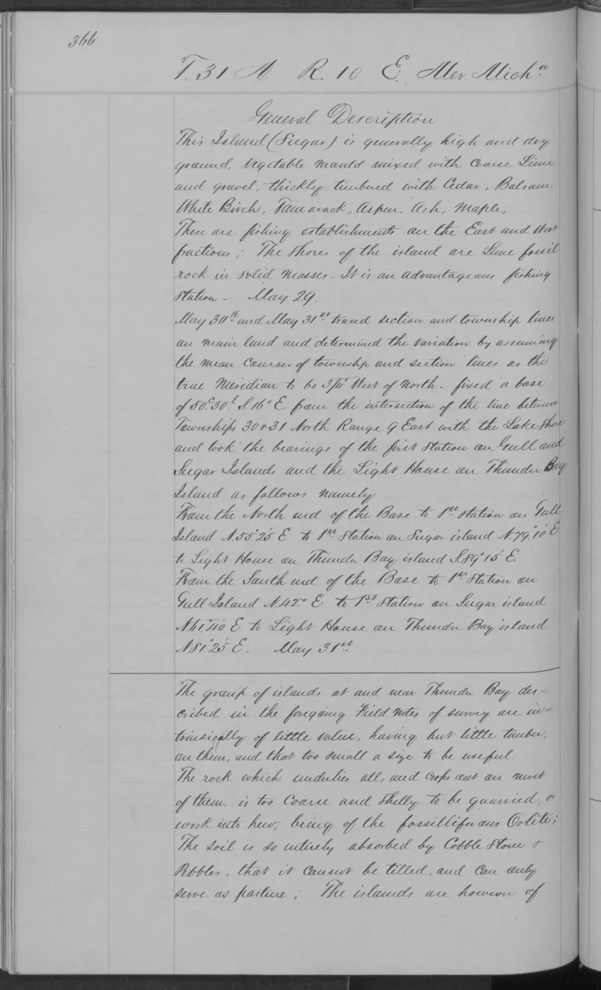
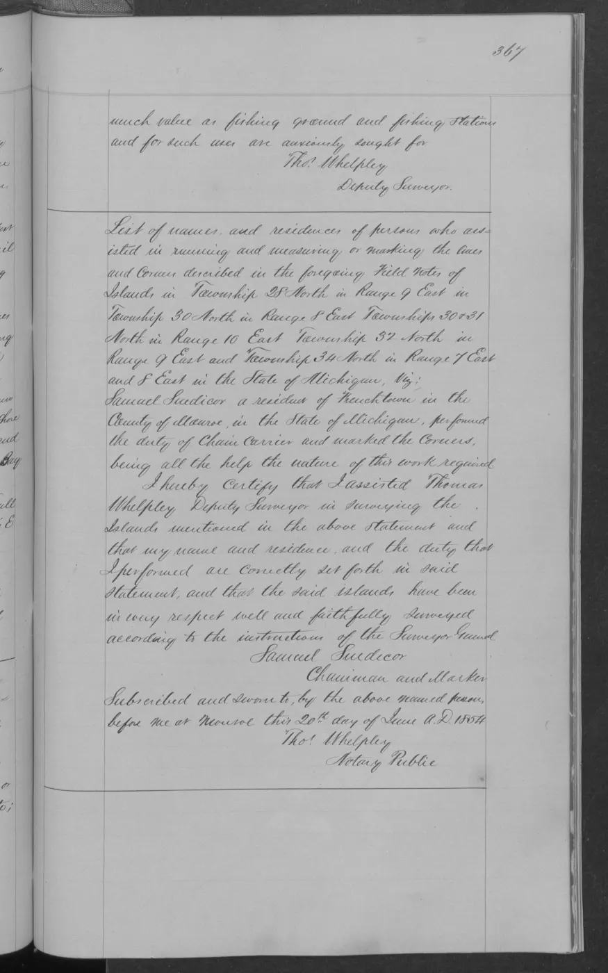
138 of 406 pages linked here — every page to 32, then every 4th, then the last 16. With JavaScript, every page.
Sources
- Held sanitized BLM detail metadata identifies a Survey of Islands, records commencement on 1849-06-23 and completion on 1849-06-28, and identifies William Ives as Deputy Surveyor. It links the record to Field Note Volume 168138. Contract instructions dated 1849-06-07 and search date 1849-08-23 are retained as separate administrative metadata, not fieldwork dates. The holder's public portal is searchable but does not link this record directly; the archive holds a copy of the file and can provide it on request.federal · glo_surveys · beaver_island_surveys
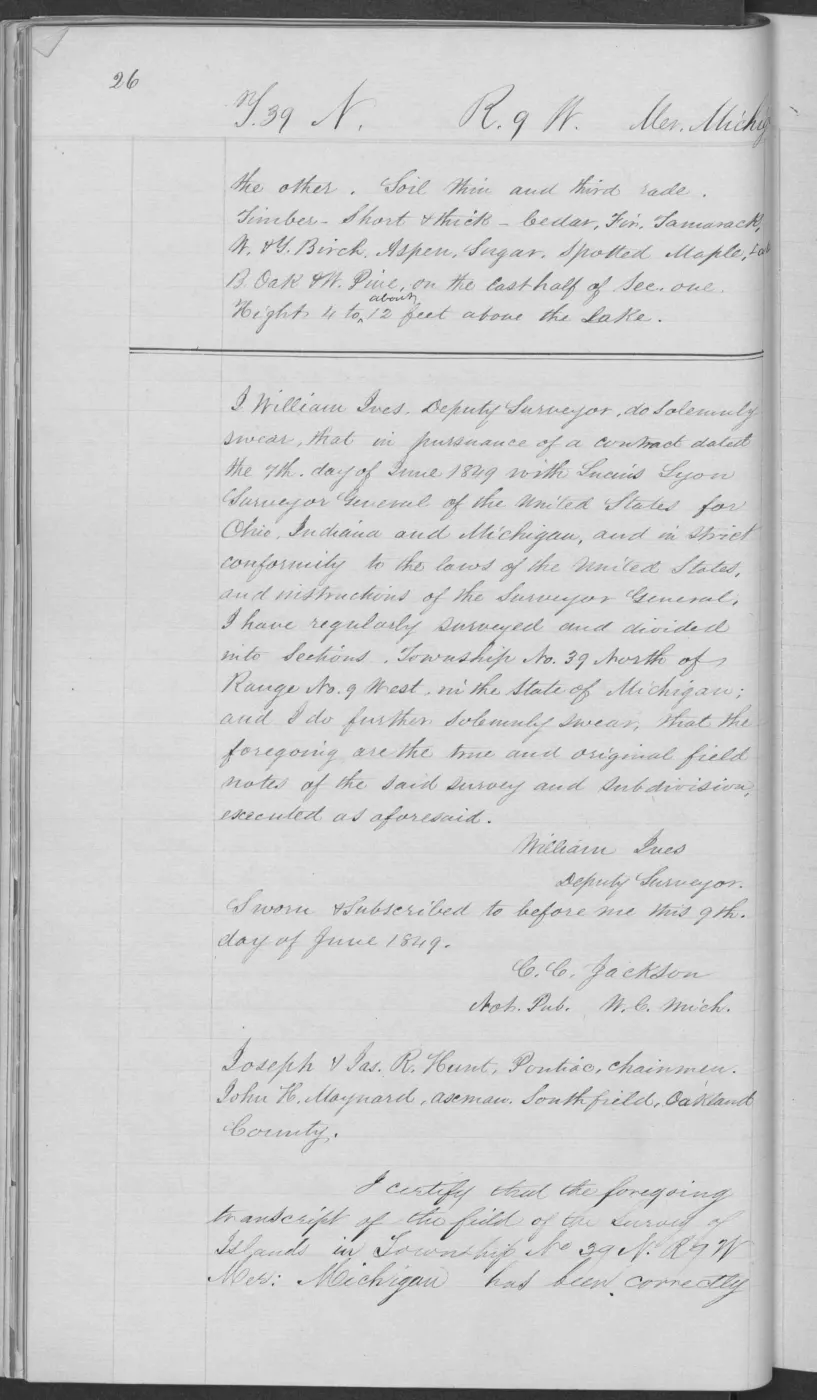
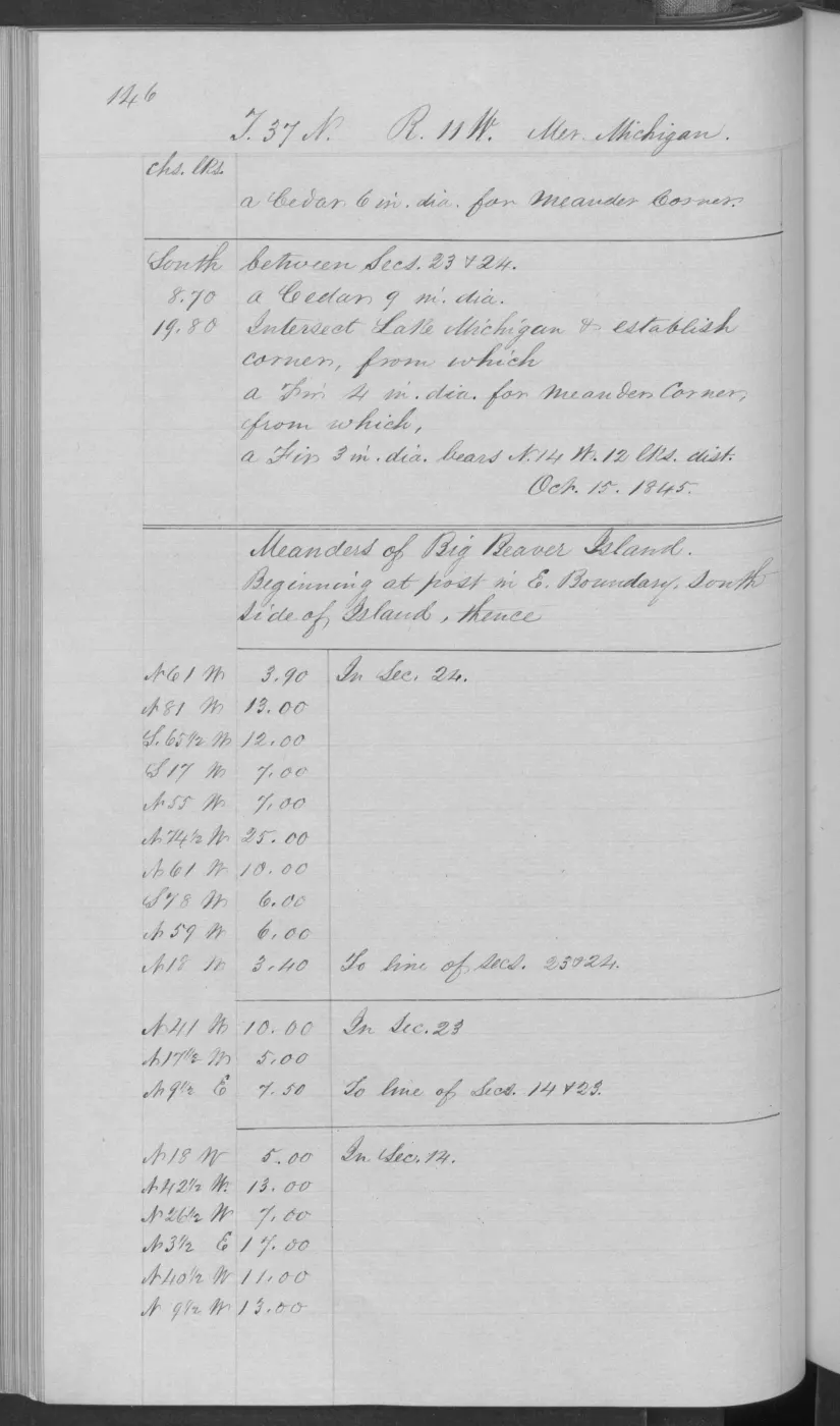
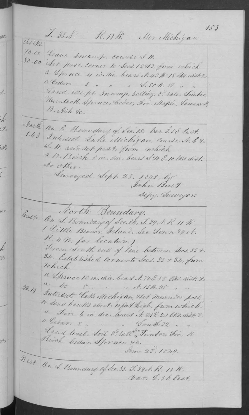
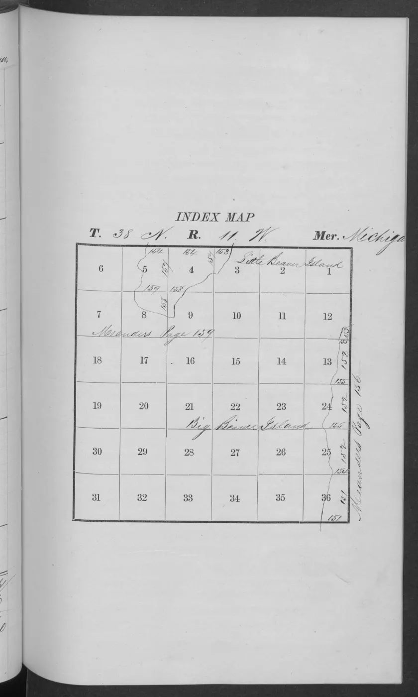
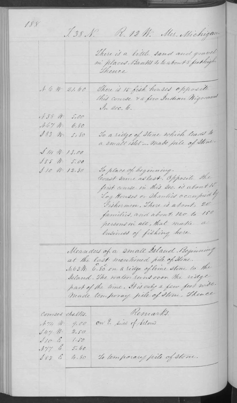
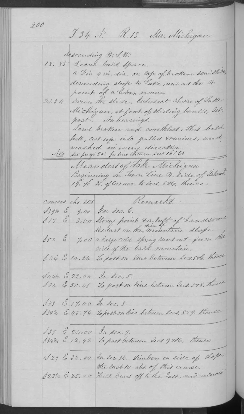
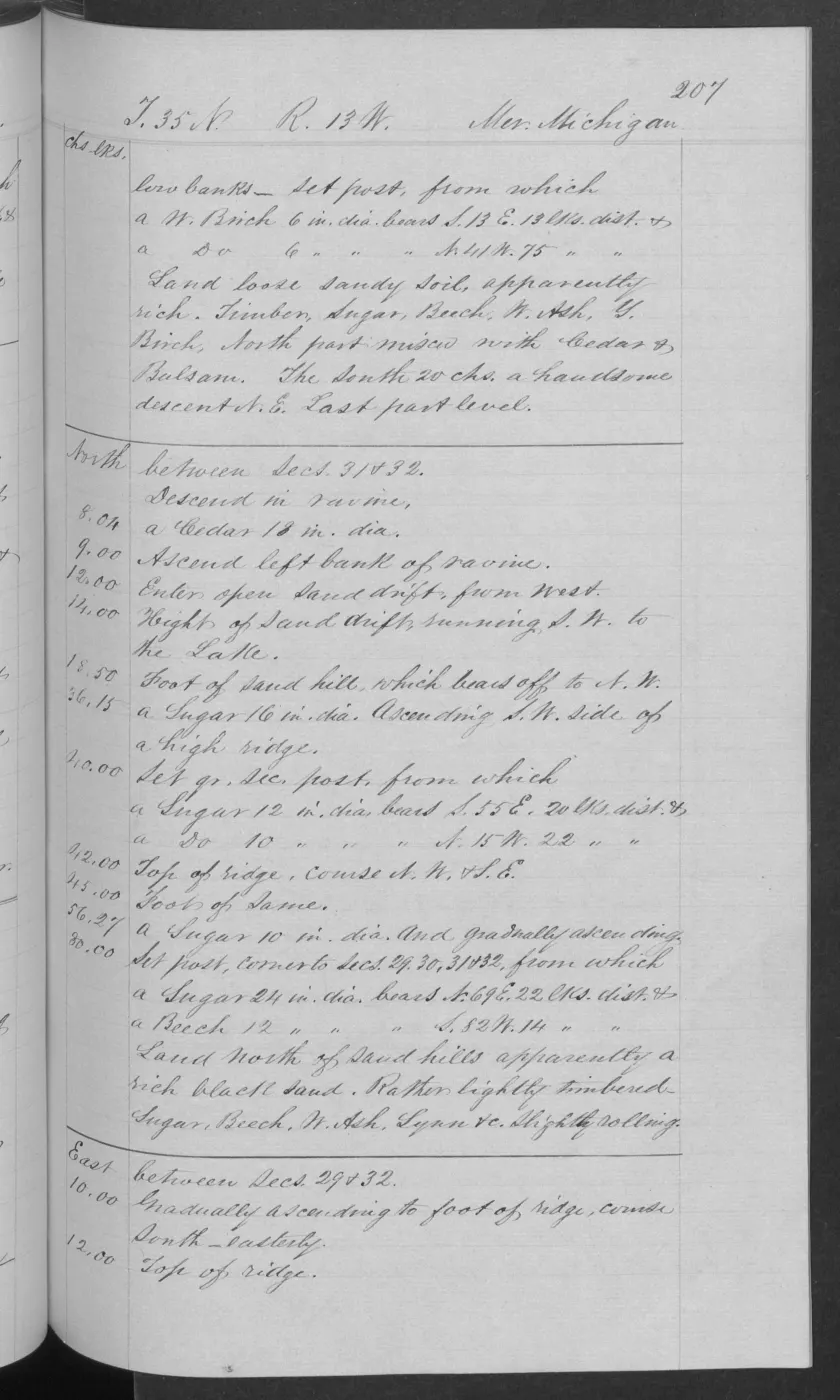
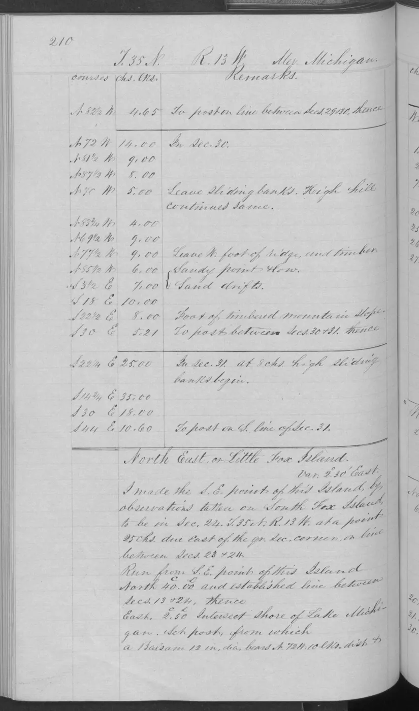
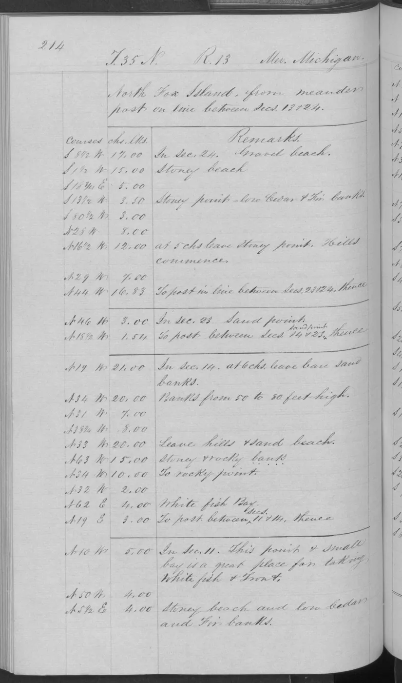
- Visually verified page heading and opening survey text. It calls High Island “Little Beaver, or High Island,” describes its location from Big Beaver Island, and records the field operation. It is not used here for unverified OCR readings, feature-by-feature transcription, title, occupation, or current ownership claims. The holder's public portal is searchable but does not link this record directly; the archive holds a copy of the file and can provide it on request.federal · glo_field_notes · pdfs · 3879958517549955184-field-note-volume-168138
Added 2 August 2026. Recent changes
Cite this article
Beaver Island Archive, “Federal survey of Little Beaver (High) and Trout islands, 1849”, https://beaverislandarchive.org/events/federal-survey-of-little-beaver-and-trout-islands-1849/, accessed [date], citing Bureau of Land Management, General Land Office Records, Survey-31662, “LITTLE BEAVER AND TROUT ISLANDS.” (and 1 further source listed on the page).
Last revised 2026-08-02. Fill in [date] with the date you read it — this page is static and cannot know that.
BibTeX for “Federal survey of Little Beaver (High) and Trout islands, 1849”RIS for “Federal survey of Little Beaver (High) and Trout islands, 1849”