

- Date
- 2002-05-21
- Kind
- Property transfer
- Where
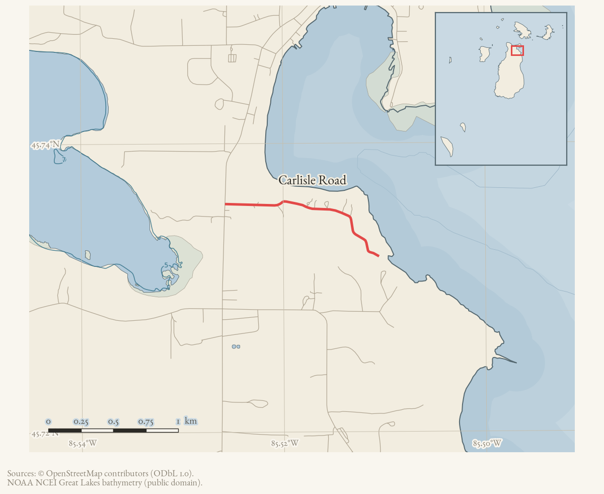
- Carlisle Road
- Along road
- King's Highway · Carlisle Road
- Eras
- Modern era
- Concepts
- governanceconstructioncommunityhealthcare
- Within
- Beaver Island
Summary
At its May 21, 2002 meeting, the Beaver Island Rural Health Center Board reported completion of negotiations for 5.371 acres at the King’s Highway–Carlisle Road corner as the proposed new medical-facility site. The Board approved Hobbs-Black Associates of Ann Arbor for design and engineering, and the report says the deeds were filed with the Charlevoix Registrar of Deeds.
The newspaper account establishes the reported acquisition and project phase, but not the deed instrument, survey, final building footprint, or completion date.
Open questions
- What deed and survey define the 5.371-acre parcel?
- Was the proposed facility built at this site, and when?
- How did this project relate to the existing Rural Health Center building?
Sources
- Reports completion of negotiations for 5.371 acres at the King’s Highway–Carlisle Road corner, the proposed new medical-facility site, selection of Hobbs-Black Associates for design and engineering, and deed filing with the Charlevoix Registrar of Deeds. It does not provide the deed instrument, survey, final building footprint, or completion date. The holding institution's portal restricts automated access; the archive holds a copy of this issue and can provide it on request.data1 · beaver-island-archive · beaver_beacon · 2002-07_Beaver-Beacon
- The held thirty-eight-page issue scan is paired with the OCR source and confirms the published notice or report; it does not expand the source-specific identity, event, or outcome claims.data1 · beaver-island-archive · scans · beaver_beacon · issues · 2002-07_Beaver-Beacon
Added 2 August 2026 · revised 3 August 2026. Recent changes
Cite this article
Beaver Island Archive, “Beaver Island Rural Health Center acquires the King’s Highway–Carlisle Road site, 2002”, https://beaverislandarchive.org/events/rural-health-center-site-acquisition-2002/, accessed [date], citing Beaver Beacon, July 2002, “Future Health Center Update.” (and 1 further source listed on the page).
Last revised 2026-08-03. Fill in [date] with the date you read it — this page is static and cannot know that.
BibTeX for “Beaver Island Rural Health Center acquires the King’s Highway–Carlisle Road site, 2002”RIS for “Beaver Island Rural Health Center acquires the King’s Highway–Carlisle Road site, 2002”