

- Coordinates
- 45.5783° N, 85.5713° WGoogle Maps: Charlevoix School DistrictDownload KML
- Eras
- Modern era
- Concepts
- educationgovernanceheritage
- Within
- Charlevoix
Summary
The October 1975 Beaver Beacon identifies the Charlevoix School District as recipient of the deed to a 61-acre southern Beaver Island tract containing the historic light-station property.
Evidence and limits
This is a source-qualified institutional record for the reported transfer. It does not establish a charter, complete legal name history, deed instrument, or future school use.
Sources
See the sources block above.
Sources
- Identifies the district as the recipient of the deed at an October 17 ceremony and reports inspection of the property. It does not provide a district charter, legal name history, deed instrument, or school-use plan. The holding institution's portal restricts automated access; the archive holds a copy of this issue and can provide it on request.data1 · beaver-island-archive · beaver_beacon · 1975-10_Beaver-Beacon
- The held issue confirms the district’s reported role.data1 · beaver-island-archive · scans · beaver_beacon · issues · 1975-10_Beaver-Beacon
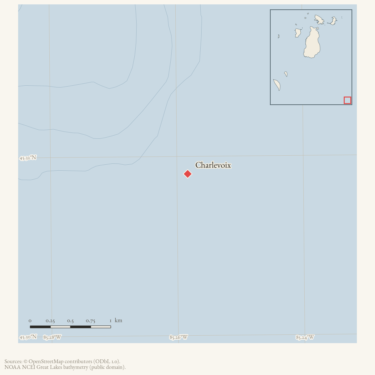
- Project cross-reference to the Beaver Island Light Station locator, retrieved 2026-08-06.The point at approximately -85.571261, 45.578316 is the sourced representative point for the southern Beaver Island Light Station, the 61-acre tract described in the 1975 transfer report. It represents the district’s reported island property connection, not the Charlevoix headquarters, a surveyed tract boundary, or proof of current ownership. No public copy of this file is known; the archive holds one and can provide it on request.kb · articles · structures · beaver-island-light-station
Added 3 August 2026. Recent changes
Cite this article
Beaver Island Archive, “Charlevoix School District”, https://beaverislandarchive.org/organizations/charlevoix-public-school-district-1975/, accessed [date], citing Beaver Beacon, October 1975, “Charlevoix School Now Owns 61 Acre Beaver Island Tract.” (and 2 further sources listed on the page).
Last revised 2026-08-03. Fill in [date] with the date you read it — this page is static and cannot know that.
BibTeX for “Charlevoix School District”RIS for “Charlevoix School District”