

- Coordinates
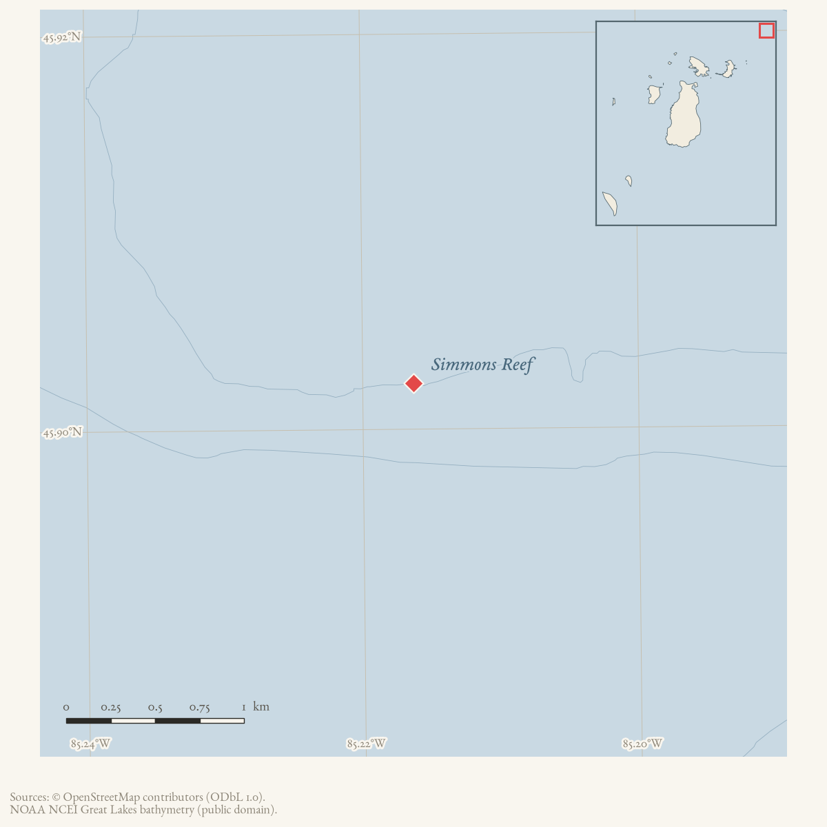
- 45.9023° N, 85.2163° WGoogle Maps: Simmons ReefDownload KML
- Eras
- Modern era
- Concepts
- maritimeshippingshipwrecksenvironment
- Within
- Beaver Island archipelago
Summary
Simmons Reef is the offshore hazard identified in the held accounts of the J. Oswald Boyd grounding and the Marold II explosion. The 1937 Herald places it about 15 miles north of Beaver Island and about 20 miles west of St. Ignace.
Evidence and limits
This is a source-bounded maritime place record, not a charted reef coordinate. The newspaper descriptions are approximate and do not provide a GNIS identifier, depth, extent, or exact reef position. The displayed point is the current lighted-buoy position used as a navigation-aid anchor, not the 1937 casualty position or a reef boundary.
Open questions
- Which historical or current nautical chart identifies Simmons Reef?
- Can the reef’s coordinates and relationship to nearby St. Ignace and Beaver Island be verified from a chart or survey?
See also
The dated record
Sources
- Charlevoix County Herald, January 8, 1937, “Coast Guards Abandon Search for Three Men Missing in Marold II Explosion.”Places the stranded J. Oswald Boyd and the Marold II on Simmons Reef, about 15 miles north of Beaver Island and about 20 miles west of St. Ignace. No public copy of this file is known; the archive holds one and can provide it on request.
- Charlevoix Courier, January 1997, “Ship explosion recalled on 60th anniversary,” scrapbook section.Uses the spelling Simmon’s Reef for the grounding and salvage operation, but supplies no coordinates. No public copy of this file is known; the archive holds one and can provide it on request.
- Lists Simmons Reef Lighted Bell Buoy 2 at 45°54′08.357″N, 85°12′58.744″W. This is a navigational-aid point used as an approximate reef anchor, not a surveyed reef polygon or the 1937 casualty position.
Added 1 August 2026 · revised 2 August 2026. Recent changes
Cite this article
Beaver Island Archive, “Simmons Reef”, https://beaverislandarchive.org/places/simmons-reef/, accessed [date], citing Charlevoix County Herald, January 8, 1937, “Coast Guards Abandon Search for Three Men Missing in Marold II Explosion.” (and 2 further sources listed on the page).
Last revised 2026-08-02. Fill in [date] with the date you read it — this page is static and cannot know that.