

- Date
- 2020-10-03
- Kind
- Landowner notice
- Where
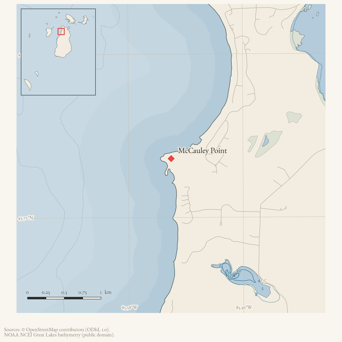
- McCauley Point
- Eras
- Modern era
- Concepts
- huntingland-usepropertycommunitywildlife
- Within
- Beaver Island · McCauley Point
Summary
On October 3, 2020, a Beaver Island landowner posted that hunting permission had been given to two people on land near McCauley’s Point and warned others not to hunt there or place a trail camera without permission.
Evidence limits
This is a first-person property and safety notice. It documents a local dispute and claimed permission boundary, not a substitute for a deed, posted-boundary record, or current hunting law.
Open questions
- Whose trail camera was placed near McCauley’s Point without permission, and was it ever identified or removed?
- Did the disputed hunting-permission boundary near McCauley’s Point lead to any further documented conflict or resolution?
If you can answer any of these, or correct anything above, the archive wants to hear it — see Corrections.
Sources
- Brad Grassmick said he had given permission to a friend and nephew to hunt land near McCauley’s Point and warned that a trail camera had been placed there without permission. The notice records one landowner’s contemporaneous assertion and safety concern, not a deed, boundary survey, legal determination, or complete account of the camera’s ownership or removal.forum · www.beaverislandforum.com · 15 · t015720
Added 10 August 2026. Recent changes
Cite this article
Beaver Island Archive, “Beaver Island landowner warns against unauthorized hunting and trail-camera use near McCauley’s Point, 2020”, https://beaverislandarchive.org/events/beaver-island-mccauleys-point-hunting-permission-conflict-2020/, accessed [date], citing BradG, “Hunting,” Beaver Island Forum, October 3, 2020..
Last revised 2026-08-10. Fill in [date] with the date you read it — this page is static and cannot know that.
BibTeX for “Beaver Island landowner warns against unauthorized hunting and trail-camera use near McCauley’s Point, 2020”RIS for “Beaver Island landowner warns against unauthorized hunting and trail-camera use near McCauley’s Point, 2020”