

- Coordinates
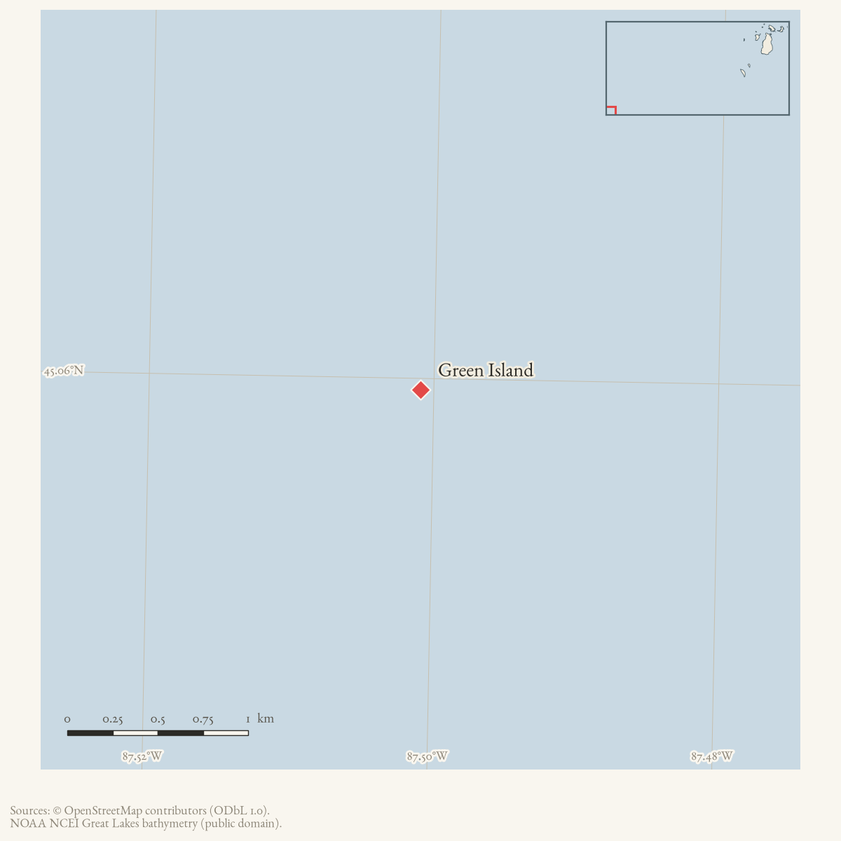
- 45.0594° N, 87.5009° WGoogle Maps: Green IslandDownload KML
- Eras
- Modern era
- Concepts
- environmentmaritimeshipwrecksheritage
Summary
Green Island is the Green Bay geographic reference used in the held record of the October 1903 Erie L. Hackley shipwreck. The wreck lies offshore rather than on the island: Wisconsin’s shipwreck record places it two miles northeast of Green Island in 110 feet of water.
Evidence and limits
The sources held here establish the name as a location anchor for the wreck, but not the island’s modern survey identity, coordinates, ownership, or complete geography. The article is not a claim that the vessel struck or sank on the island itself. The separate wreck coordinates belong to the event’s source record and are not copied into this place article.
Open questions
- Which GNIS or modern parcel record identifies Green Island in Green Bay?
- Can a historical chart establish its coordinates and relation to Eagle Bluff?
- Is the island’s name ever confused with Green Island in the Straits of Mackinac or other Great Lakes islands?
See also
Sources
- The Wisconsin Historical Society/Wisconsin Sea Grant record identifies Green Island in Green Bay as the geographic reference for the wreck and places the wreck two miles northeast of the island. This article does not adopt the marker coordinates as island coordinates.
- The local reconstruction says the Erie L. Hackley was in trouble off Green Island during the October 3, 1903 storm and that its cabin later came ashore near Eagle Bluff.data1 · beaver-island-archive · beaver_beacon · 1973-05_Beaver-Beacon
- The held nine-page issue scan is paired with the OCR source and confirms the published notice or report; it does not expand the source-specific identity, event, or outcome claims.data1 · beaver-island-archive · scans · beaver_beacon · issues · 1973-05_Beaver-Beacon
- Identifies Green Island as the Green Bay island in the Town of Peshtigo, Marinette County, Wisconsin. The coordinate is the USGS/GNIS point reported for that island; it is not the Erie L. Hackley wreck coordinate.
Added 1 August 2026 · revised 3 August 2026. Recent changes
Cite this article
Beaver Island Archive, “Green Island”, https://beaverislandarchive.org/places/green-island-green-bay/, accessed [date], citing Wisconsin Shipwrecks, “Erie L. Hackley Maritime Trails Marker,” retrieved August 1, 2026. (and 3 further sources listed on the page).
Last revised 2026-08-03. Fill in [date] with the date you read it — this page is static and cannot know that.