

- Coordinates
- 45.6597° N, 85.5272° WGoogle Maps: Hannigan’s ShortcutDownload KML
- Eras
- Modern era
- Concepts
- transportationrecreationModern era
- Within
- Beaver Island
Summary
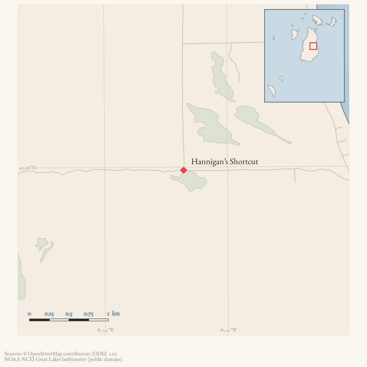
Hannigan’s Shortcut is a named route connecting the trail system with Hannigan’s Road. The name appears in the 2015 map legend and on the current Chamber trail index. The map’s GPS point C provides an approximate orientation point beside the route.
Map status
No authoritative current line is held. The displayed coordinate is only the map’s GPS point C beside the route; it is not a surveyed endpoint or full route geometry. Pending update: capture the current shortcut with GPS or obtain an official trail map.
Maps for this place
These Atlas plates provide regional context. They do not establish a precise boundary, current ownership, access right, operating status, or field condition.
- EnvironmentSoils, wetlands, hydrography, and terrain
- GeologyGeneralized geology and landforms
- HydrologyMapped water and wetland context
- AccessMapped routes, facilities, and protected areas
- Land surveyPLSS geometry and historic GLO patent-location context
Sources
- The legend names Hannigan’s Shortcut as a composite route; the artwork is not used as surveyed geometry.
- The map prints GPS point C as 45°39'34.8"N, 85°31'37.8"W and places that control point beside the green-hatched Hannigan’s Shortcut segment. It is used as an approximate route-orientation point, not as the route’s full geometry, an endpoint survey, or a statement about current trail condition.
- Current Chamber trail page, retrieved 2026-08-02; route details and geometry should be rechecked against a field track.
Added 2 August 2026 · revised 6 August 2026. Recent changes
Cite this article
Beaver Island Archive, “Hannigan’s Shortcut”, https://beaverislandarchive.org/places/hannigans-shortcut/, accessed [date], citing Beaver Island trails map, revised October 2015. (and 2 further sources listed on the page).
Last revised 2026-08-06. Fill in [date] with the date you read it — this page is static and cannot know that.
BibTeX for “Hannigan’s Shortcut”RIS for “Hannigan’s Shortcut”