

- Coordinates
- 45.6211° N, 85.4879° WGoogle Maps: Martin PointDownload KML
- Eras
- Irish eraModern era
- Concepts
- toponymyfishingheritage
- Within
- Beaver Island
- Media
- Plat of Big Beaver Island, 1901 · Plat of the south end of Beaver Island, 1930s
Summary
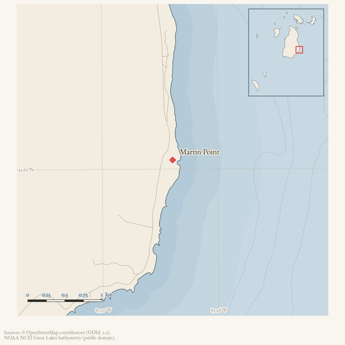
Martin Point is a GNIS-recorded cape on Beaver Island, with the variant name “Marlin Point.” A March 2025 Northern Islander retrospective, drawing on Helen Collar’s Journal of Beaver Island History research and descendant Francis (Ernie) Martin, says that the Martin brothers each took a quarter mile of land at “Martin’s Point” after settling on Beaver Island in 1857. It associates that land with pound-net fishing from the beach and winter cedar cutting.
The retrospective preserves an important historical use of the name, but it does not establish that the brothers’ land boundaries match the GNIS cape coordinate or explain the “Marlin Point” variant. Martin Point and Martins Bluff are therefore linked as related historical names, not treated as the same feature.
Open questions
- Can the cited Journal of Beaver Island History passages, land recordings, and census records locate the Martin brothers’ quarter-mile holdings?
- Is “Marlin Point” a transcription, a separate historical name, or a later variant of Martin Point?
Sources
- GNIS feature 1617994; feature class 'Cape'.federal · gnis · gnis_names
- Variant names: Marlin Point.federal · gnis · gnis_variant_names
- The Northern Islander, March 2025, “The Stories Behind the Names of Islanders Lost at Sea.”Retrospective article cites descendant Francis Martin saying the Martin brothers each took a quarter mile of land at Martin’s Point and made their living by pound-net fishing and winter cedar cutting. No public copy of this file is known; the archive holds one and can provide it on request.
Added 28 July 2026 · revised 1 August 2026. Recent changes
Cite this article
Beaver Island Archive, “Martin Point”, https://beaverislandarchive.org/places/martin-point/, accessed [date], citing U.S. Geological Survey, Geographic Names Information System, Domestic Names (Michigan), retrieved 2026-07-28. (and 2 further sources listed on the page).
Last revised 2026-08-01. Fill in [date] with the date you read it — this page is static and cannot know that.